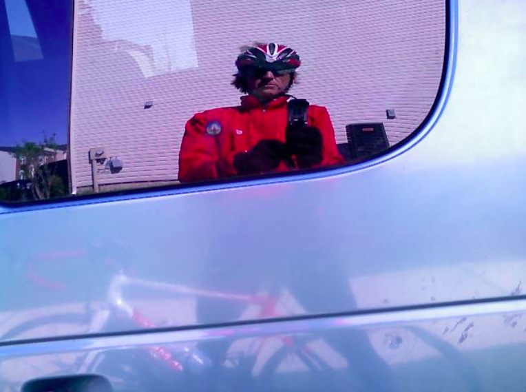
MARSHALL, VIRGINIA
It is April but unseasonably hot. In Frederick, Md., the temperature reached 97º (36º C). It wasn’t much cooler in the Blue Ridge.
This was advertised as a BB/B pace ride. While I often ride at a BB pace the problem with a BB ride is that some A riders jump in and ramp up the pace.
We left Marshall, Va. at 9:35 a.m. I was already hanging back adjusting my heart rate monitor. When we got to the open road I sat in behind five riders. The pace seemed slow — too slow, and when I got a chance I decided I was going to bridge up to the first group. Two groups had already formed and I wanted to ride with the faster group that was already about a half-mile ahead. I took off on my solo venture.
For the next five minutes, I could see the front group about 1/4 mile in front of me. So we had the BB Group followed by me a quarter mile back and then the B Group, another quarter mile behind. I truly was in cyclists’ terms, in no-man’s land.
During this time one thinks about the effort necessary to bridge up to the lead group and, once one reaches them, how tired they will be. But I was determined and I thought I was closing the gap. I also thought it might take 10-15 minutes before I could fully bridge to them.
I had gone a couple of miles when I crested a small ridge and began descending. When I reached the bottom of the descent I could see the road ahead for a half-mile and could not see the BBs. My first thought — the right one — was that they could not have added more time on me.
I sat up and pulled out my cue sheet for the ride. I had blown right by the first turn. Oops! A major oops!
After actually reviewing the cue sheet I decided to turn back and go back up the hill to the first turn. I had gone at least a half-mile and knew that going an extra mile would put me behind the B Group. And no one would know. If anything happened I was on my own.
I knew not to panic and not to try to put the hammer down to reach the B Group. I just wanted to ride at a steady pace. Of course, the quitter in me said turn around and go back while the finisher in me said to keep going and I would catch them. It might be in a mile, five miles, or ten, but eventually, I should catch them.
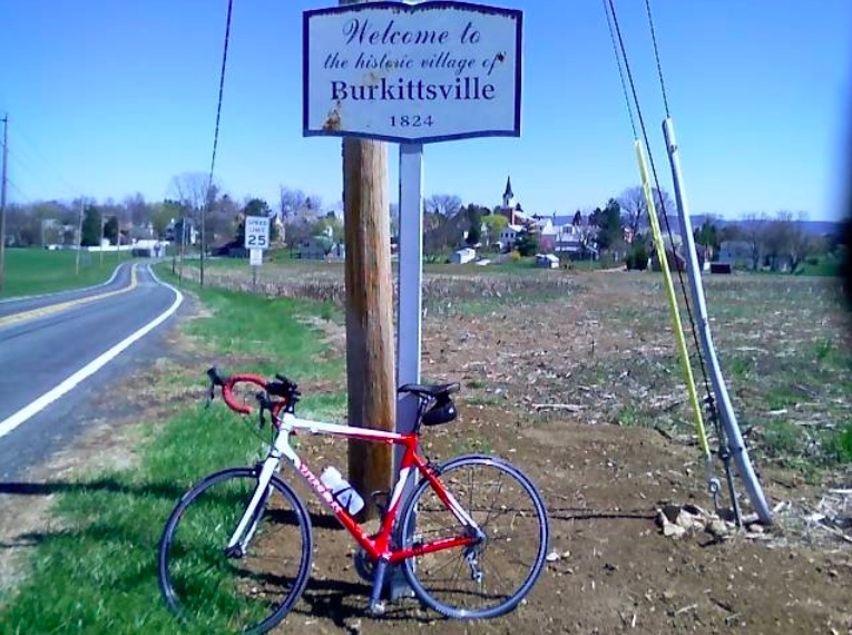
And thus began my long lonely journey of the 56-mile Blue Ridge Ramble.
I went out to Markham and turned on Leeds Manor Road. This would take me over Naked Mountain. The ride up the hill was a little more formidable than I expected. There were long stretches of 10%-12% grade, even kicking up past 14%. I just rode a steady rhythm and kept drinking. And eating Sports Beans (by Jelly Belly).
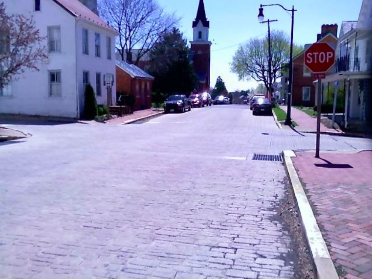
The descent off the east side was nice; my first 40+ mph speed of the day. I could have gone faster but the pavement was very rough. I rode the shoulder on US 17 to Paris, Va. In Paris, I asked a woman who was walking if a group of cyclists came by. She said they did. When I asked how far they were ahead she told me she saw them when she was down by the stop sign. “So however long it took me to walk from the stop sign to here.”
Yea. Helpful. At least I knew they were ahead which, of course, they had to be.
I then began the climb up US 50 (no shoulder!!!) to Clark’s Gap and then up Mount Weather. I had three water bottles with me and was trying to ration them to the store at Bluemont. Actually, I was trying to ration them to the top of the climb and figured I could do without water on the descent to Bluemont. I knew I would connect with the group at Bluemont.
Around mile 26 I was on top of Mount Weather. After a couple of miles or so of “rollers” up ahead I saw one of our riders, Klara Vraday. I had pretty much forgotten I was on a group ride and was just enjoying a solo venture. I quickly gained on her and surprised her when I said “I bet you thought you were the last rider.” I had ridden 28 miles solo.
We would have stayed together but just as soon as I caught her there was a screaming descent coming up and I wanted to bomb it. I hit 48 mph going down to Rte 7 but it does go down to Rte 7. Rather than go for 50 mph, which I wanted to do, I thought the prudent thing would be to apply brakes.
I stopped the Garmin timer waiting for Klara then forgot to restart it when I started the descent down to Bluemont. It cost me at least a mile in recorded distance and killed my average speed because I was flying down the mountain. And Garmin simply drew a straight line from where I turned it off to where I restarted it. How would it know?
We stopped in Bluemont, refueled and hydrated, and took off for Marshall. There were six of us together to cover the last 25 miles. We were still on Snickersville Turnpike when we dropped Klara. I announced this to the group then dropped back with her and brought her back to the group. This happened a second time and I did the same. The third time it happened I told the group to go on and I would shepherd Klara back to the start. She was having problems dealing with the heat and was really annoyed because those were her friends who dropped her and a stranger was the one who dropped back to escort her back.
This was a good training ride. The heat took its toll but it’s good to train in these conditions. It must make me stronger. At least I hope so.
It’s missing one mile at Snickers Gap but did record the high speed of 48 mph. And check out the elevation map.