Impressive List of Hillclimbs

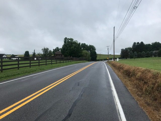
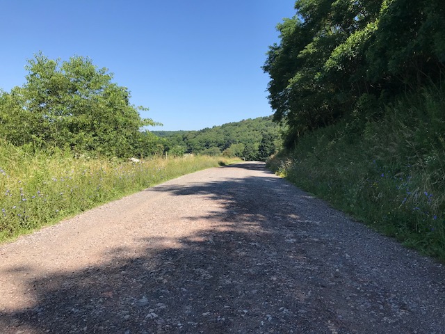
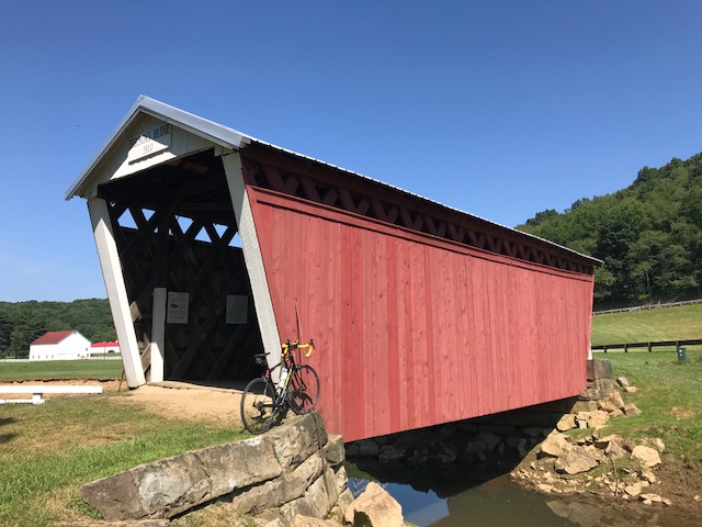
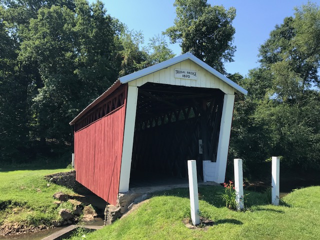
Bicycling Magazine just published The 30 Hardest Hill Climbs in the World. I have always been more enthusiastic than talented but let me see about this list. Some I have done. Some I will never do (logistics mostly). And some I would like to do or do again.

The list:

  1. Mount Evans, Colorado
  2. Mount Lemmon, Arizona
  3. Onion Valley, California
  4. Whiteface Mountain, New York
  5. Mount Mitchell, North Carolina
  6. Mount Washington, New Hampshire
  7. Le Mauna Kea, Hawaii
  8. Passo Del Mortirolo, Italy
  9. Mont Ventoux, France
  10. Rila, Bulgaria
  11. Passo dello Stelvio, Italy
  12. Passo Gavia, Italy
  13. Alto de Letras, Columbia
  14. Alto de l’Angliru, Spain
  15. Col du Galibier, France*
  16. Mount Baldy, California
  17. Haleakala, Hawaii
  18. Col du Tourmalet, France
  19. Alto de la Lenia, Columbia
  20. Hardknott Pass, United Kingdom
  21. Alpe d’Huez, France
  22. Powder Mountain, Utah
  23. Pico el Aguila, Venezuela
  24. Wuling Mountain, Taiwan
  25. Tong La Pass, Tibet
  26. Grimsel Pass, Switzerland
  27. EL Teide, Canary Islands
  28. Monte Zoncolan, Italy
  29. Grossglockner, Austria
  30. Muro di Sormano, Italy

The ones I’ve summited:

1, 2, 6, 9, 11, 12, 18, 21

Mount Evans, Colorado. First went up in 2007 on a straight bar rental road bike. Then again in 2016 on my own bike – I saw a bear! It was easier on my own bike after 400 miles of riding in the Rockies.

Mount Lemmon, Arizona. Absolutely beautiful. Just make sure you carry enough water. Camelbaks work.

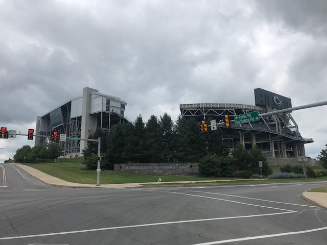
Mount Washington, New Hampshire. The hardest of them all. I have ridden it seven times; once without changing my gearing. I won’t make that mistake again. Heck, I won’t ride it again.

Mont Ventoux, France. Became rainy and very windy but I had one chance to get to the summit so I did.

Passo Stelvio, Italy. Her 48 switchbacks are calling me back. First rode it in 2014 and planned a side trip while in Switzerland in 2017 but warm turned to cold and sun turned to rain and snow on the beautiful pass.

Passo Gavia, Italy. A cold, wet day in June, 2014, my iconic image is seeing a bunch a teenage boys pushing their bikes up the climb where we rode.

Col du Tourmalet, France. In 2011 I went up and over the summit and back up again to watch the Tour de France. In 2010 I climbed it from both sides but was stopped 4km from the summit by the police for the Tour de France. It’s tough.

L’Alpe d’Huez, France. Another iconic climb. Probably the second most one I would repeat (after Stelvio).

The ones I’ll never do:

13, 19, 23, 24, 25

South America, Asia. Probably include Bulgaria (10). Doubt that I ever get to those places with or without a bike and none are calling me.

Most likely will:

5, 16

Mount Mitchell isn’t that far from Virginia. Why not make a road trip for the climb? And Mount Baldy is an iconic climb in southern California. It’s doable (from a logistics standpoint).

So what’s left? Doubtful I get to Hawaii to climb although it would be fun. I could drive to Whiteface, NY.  Mortirolo was high on my list in 2014 but we were rained out (couldn’t get the support vans up there) and really never felt the need to get there. I should look at Grimsel Pass in Switzerland and Grossglockner in Austria. Plus there are a ton of climbs in France. I’ll keep climbing as long as I am able.

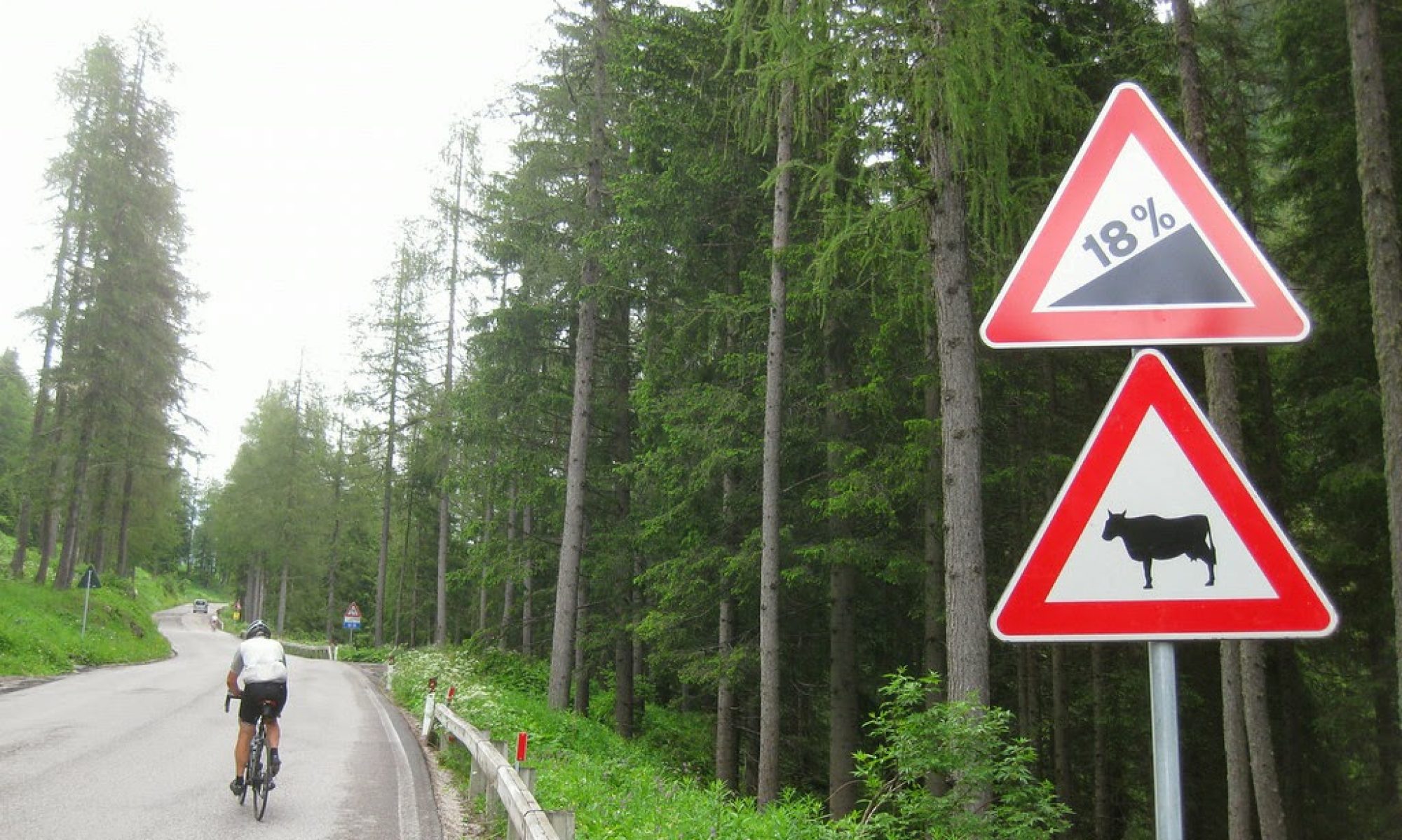
*And a special mention to Galibier. On July 19, 2011, I left LaGrave in a light rain and 50 degrees. The forecast called for heavier rain but I thought I was ahead of it. I wasn’t. It was seven miles to the pass at the Col du Lautaret. When I reached it, it was snowing. I did not have winter cycling apparel. It was another seven miles to the summit of Galibier but I wisely turned around. Probably a one-time attempt but wisely abandoned. Later I read that 200 British cyclists had to be rescued off Galibier.


Note to self: There is a nice primer on Swiss climbs if you’re serious about Grimsel Pass. Also at Cycling Challenge.


EDIT/EPILOGUE – Since I made this post, I was able to ride up Mount Baldy, California (16) in 2018. The next day I rode up Gibraltor Road in Santa Barbara, California for the 2018 Hillclimb Championships Worlds. If I was serious about it, I would not have ridden up Mount Baldy the day before. DFL.

On November 4, 2020, I rode up Mount Mitchell (5).

The list is subjective and in my list, I would find a place for St. Gotthard Pass in Switzerland and its cobbled eight-mile climb. I rode that in July 2019. And I want to ride it again.

MS-150 Day 2

HOLLIDAYSBURG, PENNSYLVANIA

Yesterday was a day of riding solo. My one attempt at riding in a group had a brief discussion that I initiated.

“Where’s your group from?” (To the Old Men on Bikes)

“Bedford County”

“Well you know these roads. Have you ridden over Locke Mountain?”

“No”

End of discussion. It was going nowhere.

So I ended up riding solo. Knowing I should let a group catch me, part of me thought what was the use. No one was talking except to their friends and I brought no one.

No one asked me about my bib for Bethany, although at the finish I did talk with Ellen Kovacevic about her. We also talked about her and her husband’s recent trip to France with Trek Travel.

Today I started DFL (that means last). Actually, I was last of the riders lined up at 7:00 a.m. to ride. A few may have jumped in after the 7:00 start.

We had rain from 4:00 p.m. yesterday until about 6:00 a.m. this morning. While the forecast was hopeful (15% chance of rain), the roads were wet at 7:00 a.m. It was 55 degrees and I didn’t even think to bring arm warmers. It’s summer. I did have a rain jacket which I put on though.

Beaver Stadium in the distance

At the back the group spread out. I “sat in” for four miles until I was finally able to make my way to the front of this back group and go off the front. Of course, all the fast riders and groups were already gone.

Wet roads

I rode on the wet roads, a bit fearful at times. I passed the first rest stop, motoring on to the second one at Camp Kanesatake outside of Spruce Creek. It was 18 miles in before I saw the first section of dry pavement. It would be cloudy, and windy, the rest of the ride, but we were done with the rain.

Pretty countryside

At the rest stop I was served ice cream by the two Dairy Princesses from Huntingdon County, Brooke Emery and Mikara Anderson. I really enjoy seeing the kids (although Brooke is 21) supporting agriculture. The ice cream, mint chocolate chip, was delicious.

Brooke Emery (L), Mikara Anderson (R)

On the road I was solo again. Shortly after leaving camp, I caught and passed five riders then settled in. I was catching no one and no one was passing me.

A thorn between two roses. Brooke Emery (L), Mikara Anderson (R)

I rolled by the lunch stop and saw no one ahead of me the rest of the day. It was almost my personal ride. In truth, there had to have been riders in the first group that weren’t delayed for four miles that did the same thing and were already finishing.

When I was in Altoona, I saw three riders come from another street and get ahead of me. “They cut the course,” I said to myself. I didn’t understand it but when it was raining I thought about the short way to Tyrone to just get to the finish. Ultimately I decided to ride the course as designed, in part so the volunteers didn’t lose track of helping us if we needed it.

Our “normal” return in Hollidaysburg was blocked off by road construction. We were diverted for a mini Tour de Hollidaysburg. It didn’t seem we had to see the downtown but I wonder if the organization wanted us to see Hollidaysburg or for Hollidaysburg to see us. Either way, it was a great choice.

Hollidaysburg

At the finish it was shower, eat (alone) then hit the road. Another MS ride done but I will seriously consider other (closer) events for the future. It was strange connecting with no one.


MS-150

STATE COLLEGE, PENNSYLVANIA

A Tale of Five Segments

First, they had plenty of bibs “I Ride For…” at the start. I had made one ahead of time for Bethany and added one for Kristi Wallace and Kayla Bracken. I was the only one I saw wearing a bib and no one asked me about my daughter from seeing it.

My Bibs for the weekend

SEGMENT ONE – Hollidaysburg to Roaring Spring (19 miles)

I rolled out in the front group. I don’t know if it was the first 100 (ish) or the entire ride. I settled in and we dropped some slow riders but were going at a steady pace. Each time the group was splitting, usually on a hill, I was able to stay with the front group.

Riders at the start

Two riders wearing kits from Spokes and Skis (a sponsor) joined us. I recognized one as Bryan Caporuscio, the owner. It was six years ago I jumped into their group ride and when I asked “Bryan?” he said “Barry!” He had remembered me from that one brief half-ride. I knew that he and his friend, Jeff, would be looking to hammer it today. They moved towards the front but I stayed with them until they caused a split. I was too far back to try to bridge, nor was I up to the effort it would take.

In the group on Reservoir Road

I did find myself at the front of the main group and stayed there until finding a train station in Roaring Spring. It is a ride, not a race, and I went off the front then stopped and grabbed my photo. I was happy I stayed with the group all the way to the first stop until the photo.

My train station photo in Roaring Spring

SEGMENT TWO – Roaring Spring to Williamsburg (15 miles)

I rolled out alone (I rolled out of every stop alone today except for the mass start) and caught seven riders in Martinsburg. I sat on the back for a while. It appeared three (wearing yellow/white) were working and four (wearing blue and black and green) were getting a free ride.

Ritcheys – First Rest Stop

I moved to the front and helped work. In fact, I was afraid I rode them off my wheel but after two miles I discovered they were with me. So now there were four of us. I took my turn until, a photo. Again, I went off the front, exited safely, and went back for the picture.

Martinsburg, Pa. – The blue jerseys are from OMBO – Old Men on Bikes

Back on the road a group (with momentum) passed me. I joined them, eventually went to the front and dropped them. Damn me.

Worth a photo

SEGMENT THREE – Williamsburg to Camp Kanesatake (17 miles)

I rolled out alone. The yellow/white group had grown and looked like they were ready to roll. I decided to soft pedal until they caught me then I would join them. They went by and it appeared there were 15 of them plus about five others. I jumped in.

Rest Two – Williamsburg, Pa.

We got blown apart on the first big climb, and I stayed with their three leaders. I found they were not a friendly bunch, at least to this stranger, I eventually let them go and the remnants of their original group came by. I jumped in. I moved to the front to Camp Kanesatake for lunch.

Lunch was at the camp. I got the feeling I was the only one on the ride that wasn’t riding with a friend or partner. I sat with some volunteers. A couple of the white/yellow group had rolled out and when lunch was over, I took off.

Camp Kanesatake is a Christian church camp located in Spruce Creek, Pa.

SEGMENT FOUR – Camp Kanesatake to the famous Cookie Stop (14 miles)

I cleaned up my trash and looked around. It did not appear anyone was leaving that I could join so I took off. My plan was to soft pedal until the group caught me then join them. Here is where two competing aspects of my brain kicked in.

Maze Church, Warriors Mark, Pa.

Logical Brain: Soft pedal and they will catch you and you can ride with them

Macho Brain: Don’t let them catch you. You are better than them.

Logical Brain: Let them catch you – you can save 30% of your energy by sitting in the group instead of riding alone

Macho Brain: Don’t you dare let them catch you. Hammer it!

Macho Brain won. Sigh. It’s a struggle I often have.

Camp Kanesatake

It was 15 miles and I did not want to get caught. In fact, I ended up catching two riders who had left about five minutes before me. And then was able to enjoy the famous cookie stop. (Truth: I had one chocolate chip cookie given to me by a young girl whose mother had baked it.)

The traditional cookie stop, the parishioners are all in at Halfmoom Christian Fellowship Church, Port Matilda, Pa.

SEGMENT FIVE – Cookie stop to State College (13 miles)

I stopped to talk to the volunteers at the entrance/exit and the four young kids. I left the message with the kids to always wear a helmet when they ride. In the meantime, a group of five or six guys took off. They were one minute up the road.

Beaver Stadium, State College, Pa.

I thought about going full in to try to catch their group but decided to ride my own pace. Their group dropped two (blue riders) and I had them in sight. For a couple of miles I could see I was 35 seconds behind. And then it came down quickly. Twenty seconds. Ten seconds. And a catch. I joined them, stayed with them for about a minute, then went to the front to work. I dropped them. Rode solo to the Penn Stater.

The finish line at the Penn Stater

I beat the rain although it doesn’t look I will be so fortunate tomorrow. This was my longest ride of the year, derailed first by knee replacement and then by a memory-loss crash and concussion. So I am happy. Very happy.


Tour de Indiana

INDIANA, PENNSYLVANIA

No, not Hooisers. But Indiana, Pa. Home of Jimmy Stewart of 1940s-50s movie fame.

Downtown Indiana, Pa.

I had gone online, found four covered bridges, and then using RideWithGPS.com, mapped a 35 mile ride which would take me to the four bridges. Today was a great day to ride.

Downtown Indiana

I parked at the Indiana Mall and then took Rte 286 (Oakland Avenue to Philadelphia Avenue) out through town. Indiana has a beautiful downtown, even prettier in the early morning sunlight.

Kintersburg Bridge

The first 8.5 miles, towards Clymer, was on Pa. Rte. 286. It was sketchy at times. Not a major highway but it is the major road between Indiana and Clymer. Despite a 4-foot law, some cars came much closer when passing, the closest of which was a Pennsylvania State Policeman. Seriously.

Barn on Tanoma Road

When I turned on Rayne Church Road I was glad to be on a country road and stay on country roads the rest of the ride. I first came to the Kintersburg Bridge which surprised me. I was enjoying the day and temporarily, had forgotten this was a covered bridge ride.

Yes, I was almost to Home

I passed the most beautiful farmhouse (but did not take a picture) next to a pretty barn. I hesitated turning onto U.S. Rte 119 but was on it for less than .25 mile and saw no cars on it for the 1:00 or so I was there.

Crossing the Buffalo and Pittsburgh Railroad

What I didn’t know: Rte 119 is also marked as Pittsburgh-Buffalo Road. I turned onto Chambersville Road and came upon three at grade crossings with a railroad. None had any signals, just a “Railroad” sign.

Gravel on Black Road

I didn’t see the railroad but I am 99% sure the single track belonged to the Pittsburgh and Buffalo Railroad. This would be the line from Punxsutawney to Homer City, a line which goes past my uncle, Don Sherry’s house in Juneau.

Black Road. Downhill.

I didn’t know where I was going (which was part of the fun of this type of ride). I was following my Garmin cues when it told me to turn left (Black Road). I turned and after 75 yards it turned to gravel. I stopped. I thought I could check where I was on Maps but was in a no service area. I decided to push on.

Looks like red dog under the surface

It was rough riding. It wasn’t impossibly hard but I was worried for the bike and wheels. At the top of the first climb I had a great view and saw the road continued as gravel. I walked. I did not want to be on the bike on a steep descent as I was afraid I might slide out.

Harmon’s Bridge

Although it felt like four miles, it was two miles. The road appeared to be an old “red dog” road (mine waste). These were supposed to be removed years ago and it appeared to my eyes that this was not fully removed.

Trusal Covered Bridge. I rode in the field instead of the gravel.

I came upon the second bridge, the Harmon’s Bridge.  Shortly after seeing this bridge I jumped on Five Points Road. If I had stayed on Davis Road instead of turning onto the gravel, I would have come to Five Points Road. In fact, it was probably the same distance. But when I mapped it out I chose the route because I wanted to ride over the bridge and not divert from my route (Five Points Road). If I did this again, it’s an easy change to the route.

Trusal Covered Bridge

Only half mile away was the Trusal Bridge. It was also off Five Points Road. The road to the bridge was gravel. I chose to ride in a field next to the road rather than on the road.

Bridge under B&P RR

I rode to Creekside and over to the Thomas Bridge. As I left Thomas Bridge, Garmin had me going up Jamison Road. It turned to gravel. I turned around. I rerouted over to Fleming Road. I got on N. Ben Franklin Road and had my biggest climb of the day.

Thomas Bridge

Partway up I saw what I thought was a sleeve of drill bits. I stopped, picked them up, and saw they weren’t drill bits. Later I posted a photo of them on Facebook and offered them to anyone who wanted them. Guesses were calligraphy tips, leather punches (and there are Amish in the area), and tattoo needle guides. The winner was tattoo needle guides. I discarded them.

Tattoo needle guides

If I ride this again, I would look for an alternative to 286 towards Clymer, stay on Davis Road to Five Points Road, and erase Jamison Road which I did as I rode. And I may ride it clockwise to get the Ben Franklin road climb out of the way at the beginning.


Covered Bridge Facts

  • Harmon Bridge, which was built in 1910 at a cost of $525, is 45 feet long and was named after Civil War veteran J.S. Harmon
  • Kintersburg Bridge was built in 1877 and named for Isaac Kinter, a local shopkeeper. J.S. Fleming erected the bridge over Crooked Creek at a cost of $893.
  • The Thomas Bridge was built in 1879 at a cost of $545 and completely reconstructed in 1998 at a cost of slightly more than $1 million dollars.
  • Trusal Bridge, built in 1870 (also known as Dice’s Bridge). At 41 feet long, the Trusal Bridge is the shortest of Indiana County’s covered bridges. It was named after Robert Trusal, a nearby property owner. The preceding facts and more information can be found at the Indiana County tourism website.

Verified by MonsterInsights