Sugarloaf Mountain – The One in Maryland

POOLESVILLE, MARYLAND

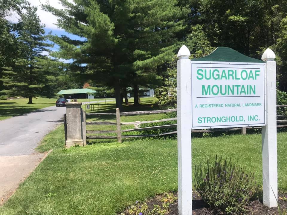
All the years I’ve been riding and I’ve never been to Sugarloaf Mountain – Maryland. I’ve seen group rides in Montgomery Co. (Md.) organized for Sugarloaf and decided it would make a nice ride. And it was so nice I would do it thrice.

White’s Ferry

I mapped out a ride and downloaded it to my Wahoo bike computer. I prefer “loop” rides to “out-and-back” so I made this a loop that would begin and end from Poolesville although from Poolesville to Leesburg would have to be out and back because there’s no other way.

Barn on Martinsburg Road

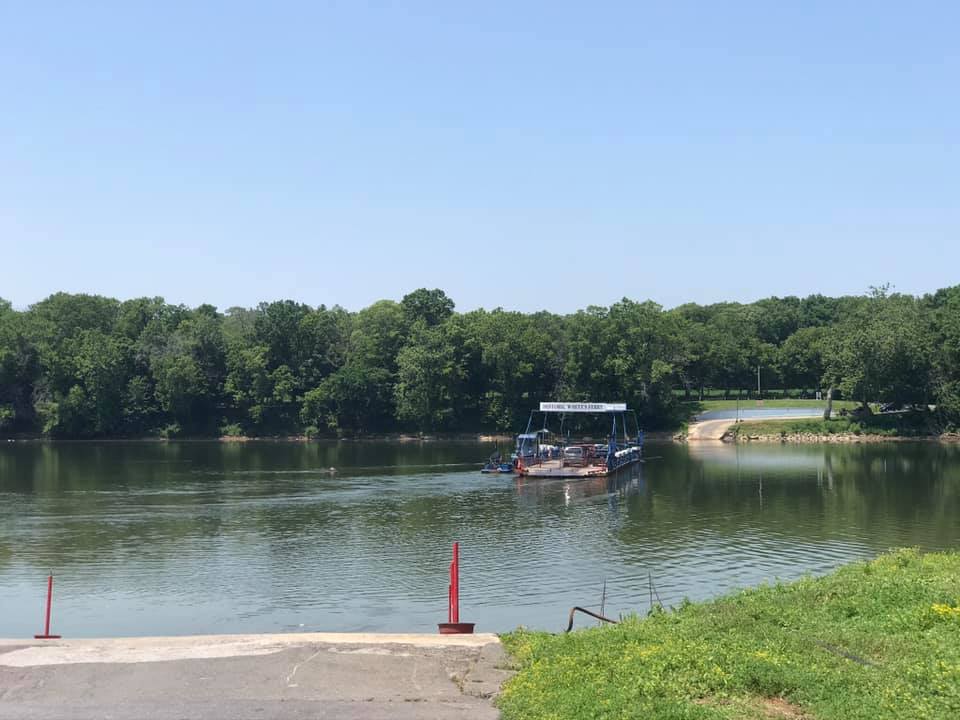
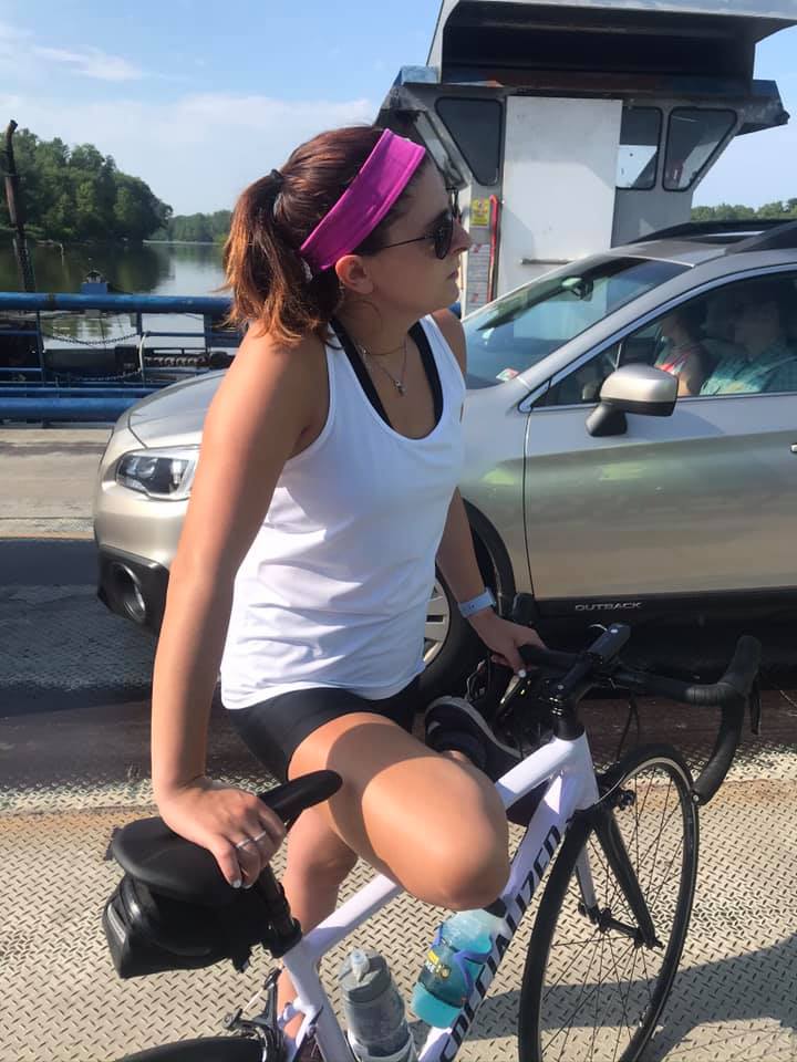
Every ride needs a ferry. It’s so relaxing to cross the Potomac River at White’s Ferry. Bikes are last off the boat and one advantage is you know for the next 10-15 minutes there will be no cars behind you.

At the observation point on Sugarloaf

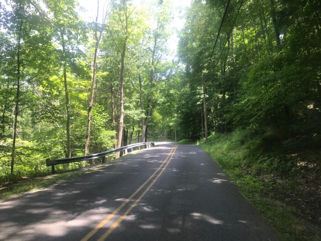
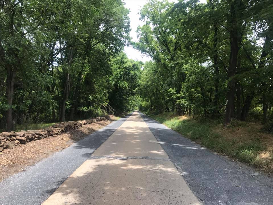
On June 16th I parked in Leesburg and headed for White’s Ferry. After the climb out of the valley, I turned on Wasche Road. It is a country road with very little traffic. It connected with Martinsburg Road which is this cool one-lane looking road in a canopy of trees.

Martinsburg Road

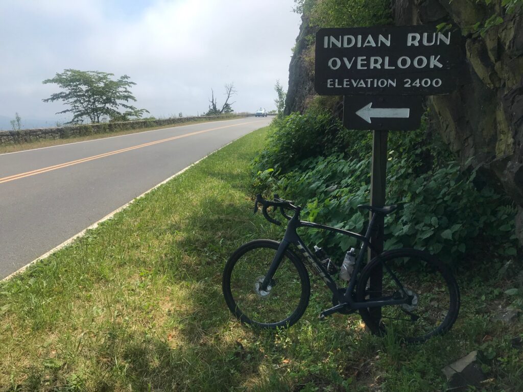
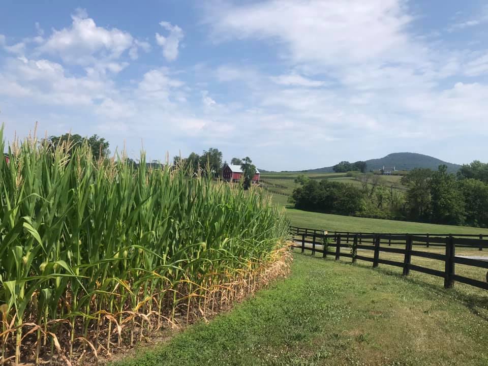
Rte 28 to Dickerson is not so good (traffic) but it’s only a mile and a quarter. Once on Mt. Ephraim Road one can see this hill (mountain) that pops up out of nowhere. On my first attempt, I was going to ride in a clockwise direction but discovered that was the wrong way. So I reversed course and went counterclockwise.

The high point in this picture is Sugarloaf Mountain

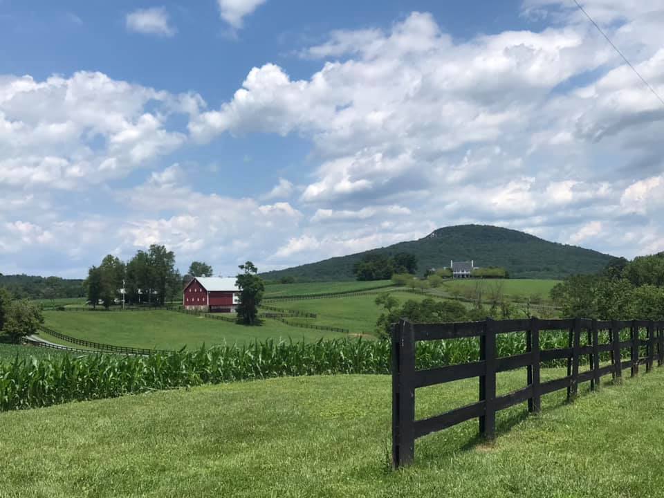
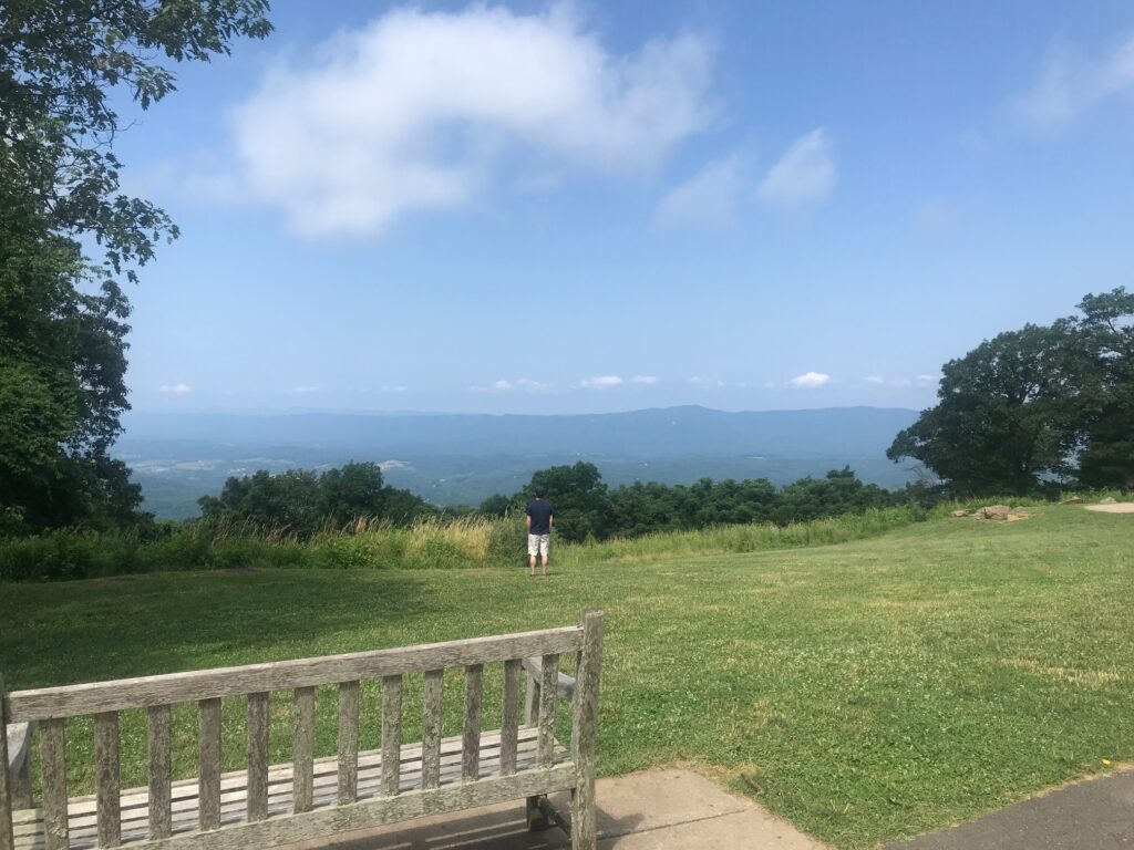
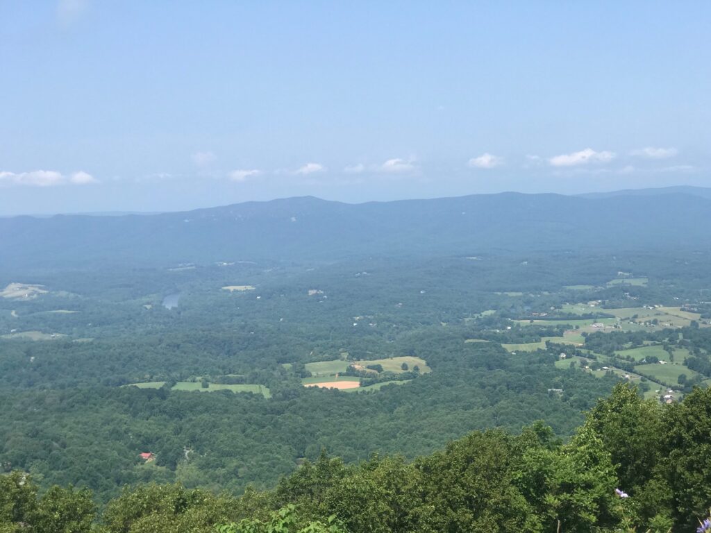
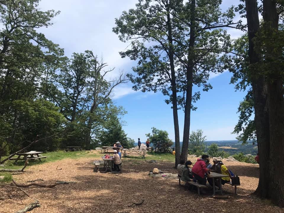
The road itself is not good pavement and it is completely wooded until one reaches the overlook. There is a small picnic area here as well.

Picnic area on Sugarloaf

On my first trip down I turned right on Comus Road. Gravel. Then it was a left on Mt. Ephraim Road which was also gravel. It became W. Harris Road which was also gravel. I took that to Barnesville where I picked up pave. Beallsville Road was lightly traveled but no shoulders and some blind corners – I was not comfortable and would not recommend it.

Sugarloaf

Just 10 days later I invited Tim Casebere to ride with me. We went to the mountain the way I had gone before but this time came back on pave. At Martinsburg Road, we stayed on the road which gave us a really nice descent followed by a nice climb. Wasche Road is a better choice if your legs are hurting. But Martinsburg Road was very lightly traveled. And we saw a wild canine – thinking it may have been in coyote as it was too large to be a fox. Pretty cool.

It has a sign – it must be a mountain

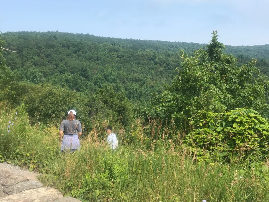
Finally, on July 19, Eryn was visiting from New York and she joined Tim and me to see what the deal was with this ride. It was very hot with temperatures in the mid-90s. We altered our route slightly first going into Poolesville then taking a busier road to Beallsville. But here we caught a break because there was a detour on Rte 28 because of a bridge out at the Monocacy River so we had Rte 28 to ourselves.

Beallsville, Md.

,We had planned, and stopped, on the way back at the Dickerson Market for water. but before I went in I spotted a cold gallon of water (partial) on the porch. I know this was purchased by a cyclist, used to fill water bottles, then left on the porch for the next cyclist to use. I’ve been on both ends myself – sometimes I bought a gallon and left it behind, today I used it. Thanks, cyclist!

Crossing the Potomac on White’s Ferry

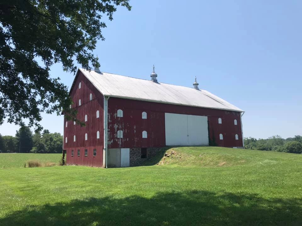
The entire time you are in Maryland you can’t quite believe you are in Montgomery County, the same county with Bethesda, Gaithersburg, and Rockville. This section is rural, and while the mountain is not that much of a mountain, it feels more like you are in Frederick County. But what a nice ride.


Skyline Drive – Front Royal

FRONT ROYAL, VIRGINIA

Without looking, and I’m not, it has been a while (years) since I have ridden on Skyline Drive. The forecast looked favorable enough, which simply meant – no rain.

GO!

I was going to park at the library but saw a park – Burrell Brooks Park – and it was nearly perfect. It had a port-a-john, a clean one, in fact. But there was no shade. It did give me an opportunity to take a shortcut over to Skyline Drive but I guess you’re not supposed to use it. At least cars.

Entrance Station

I waited in line at the entrance station in among cars. The ranger had pleasant words for me as I handed her my senior pass for free admittance.

Dickey Ridge

And then it was pedal and sweat. The temperature was a reasonable 84°. Who wouldn’t take that for a July day in Virginia? But the humidity must have been close to 100%. The sweat was pouring off me.

View from Dickey Ridge Visitor Center

I wanted to rub my eyes, or at least my right eye which was burning, but that often makes it worse. I just kept pedaling.

View looking west

I reached the Dickey Ridge Visitor Center at MP 4. I pulled in. I went in the restroom and found some tissue and water. I cleaned my (1) eyes; (2) glasses; and (3) camera lens. I was soaked including my shoes. I had squishy feet.

Indian Run Overlook

My plan today was simple. Ride until climbing stopped. Then turn around and coast back home. But at MP 6 the road goes downhill. And that was too early to turn around. So I enjoyed a 1.5 mile downhill before I started climbing again.

Indian Run Overlook

I came to an Indian Run Overlook at MP 9.5. Took some photos and decided that was a good turn around point. I wish it was all downhill from there but there was the 1.5 descent I enjoyed on the way up and I got to climb that back. But once reaching Dickey Ridge Visitor Center it truly was all downhill from there.

Skyline Drive at Indian River Overlook

Great roads. Great pavement. Sweeping curves. No shoulders but, generally, this is tourist traffic and drivers respect speed limits and cyclists.

Skyline Drive headed north

My max speed going back (or going up on the one descent) was just 42 mph. Would have liked to have gone faster but what a great ride. Need to come back here soon.

Indian Run Overlook


Temperature: 84°
Weight: 205

A Birthday Bonk

ALTOONA, PENNSYLVANIA


The heat had come to west-central Pennsylvania the past couple days at the temperatures were up in the 90s. My planned ride was a 65-mile ride around Altoona. It was already near 80º when I hoped to be rolling at 9:00 a.m. But my stomach told me to seek a pre-ride comfort break so I drove to a local Sheetz to use their restroom.

Horseshoe Curve – My Happy Place

My actual roll-out time was 9:30 a.m. That meant I would be out in the heat 30 minutes later than I planned. I had two water bottles on the bike and hoped to find a Sheetz, other gas stations, or country stores for additional water. And then just as I started I got a warning my Di2 (electronic shift) was on low battery. I hoped it wouldn’t fail.

The climb to Horseshoe Curve went off as normal. I have a feeling with each passing year I am just a tad bit slower. Once through the tunnel under the Curve, the road turns up. And it sure is beautiful. Only four cars in four miles passed me. I’m surprised more locals don’t use this road but maybe it’s too steep.

The tunnel at Horseshoe Curve. There is a portal on the left to carry water – not traffic.

I thought of my friend, Scott Scudamore, who climbed this with me in 2010 with some friends. Across the top on Gallitzin Road, I passed through Tunnel Hill. I was glad to see the once-closed Country Store re-opened but it was too soon into the ride to stop. The ride down Sugar Run Road was great. Again, I thought of the two times Scott and I rode this in 2010. We had such fun on the descent.

In Duncansville, I passed a Sheetz. I checked my bottles and I was only down 1/2 of one. It didn’t make sense to stop for water. It was still too early to refill because there wasn’t anything to refill. I hoped I’d see another Sheetz.

Canal Historic Site, Hollidaysburg, Pa.

In Hollidaysburg, I went off course when I saw a canal historic site. Here was the end of the Pennsylvania Canal and the beginning of the Allegheny Portage Railroad. I could spend more time here but needed to ride on.

Canal Historic Site Hollidaysburg

I had mapped out the course for today’s ride and took off on Loop Road. I crossed Reservoir Road and turned on Locke Mountain Road (going down, not up). But up ahead I came to a Bridge Out sign. When I saw the sign I thought I would go down the road anyhow because most bridges that are out can be walked with a bike.

Not this bridge, It had a locked fence and there was nowhere to go. It looks like this bridge will never be repaired.

They really don’t want you crossing this bridge. Out of battery. Out of water. Out of road.


I rode out to U.S. 22 for my own detour. I came to the intersection and saw a cyclist who was stopped. We exchanged pleasantries and I missed my opportunity to ask him about water. I was completely out of water and was very thirsty. I was parched.


Hollidaysburg next to the canal historical site


I saw a sign which stated Hollidaysburg-2, and Altoona-4. I was surprised I was so close to town because I knew I still had 25 miles to ride. And here I made a  critical mistake because I needed water. I needed to find water and then readjust everything once I got hydrated. But I also wanted to finish the mapped course and I prioritized that above finding water, which was stupid.

I was suffering greatly when I arrived at Canoe Creek State Park. I went in their admin building and their fountain was there – an oasis that I would kill for. But it was covered up – Sorry, it was closed due to COVID-19 even though the transmission by touching objects had been ruled out by the CDC months ago. They had a restroom and I filled my water bottles there in the sink.

Lemonade and pulled port. And ice water.


I went to the Canoe Creek E.U.B. church. It has been closed for years and is now a bat sanctuary. But in 1958 it was the first (of three) churches my dad was assigned to as a student pastor. I could feel his presence as my mind thought back 60 years to this student-pastor serving this church.

The former Canoe Creek E.U.B. Church


After I left the church, I went back to the park and found the concession stand open. I  wisely bought some food and drink and took 20 minutes to refuel. I had bonked. My body ran out of fuel. The heat, combined with running out of water,  and I had no energy left.

I made some critical mistakes. I hadn’t researched the presence of stores or gas stations on the route. I used to believe that a Sheetz gas/store was everywhere near Altoona. Well, not on this route. I had some great products by Skratch Labs – sitting at home. I grabbed two Kind bars and had them in my pocket but they were a chocolate nut mess. At the intersection of US 22, I should have gone searching for water. Instead, I followed my planned route.

The Di2 low battery had already disabled my big gear so on the rolling roads I could not pedal in the big ring, I spun, if you call it that, on Scotch Valley Road back to Altoona. I would say I was going nowhere fast but more properly, I was going nowhere slowly.

Food at Canoe Creek. Pulled Pork was $2.50.


As I got closer to Altoona, I made one adjustment to my route once I knew my way without my pre-drawn map. I knew it might leave me a little short of 65 miles (today’s goal) and figured I could ride around the mall to complete the distance. Which I did.


Scotch Valley Road

The heat really took its toll on me. Or heat combined with dehydrating because I ran out of water. And fuel. I did not carry the right fuel with me and I paid for it. Never did find another Sheetz until I was 0.5 mile from the mall where I started. And not having my big gears also hurt. It was a difficult ride but I am thankful to have finished it.


Miles: 65
Temperature: 90°
Weight: 210

Verified by MonsterInsights