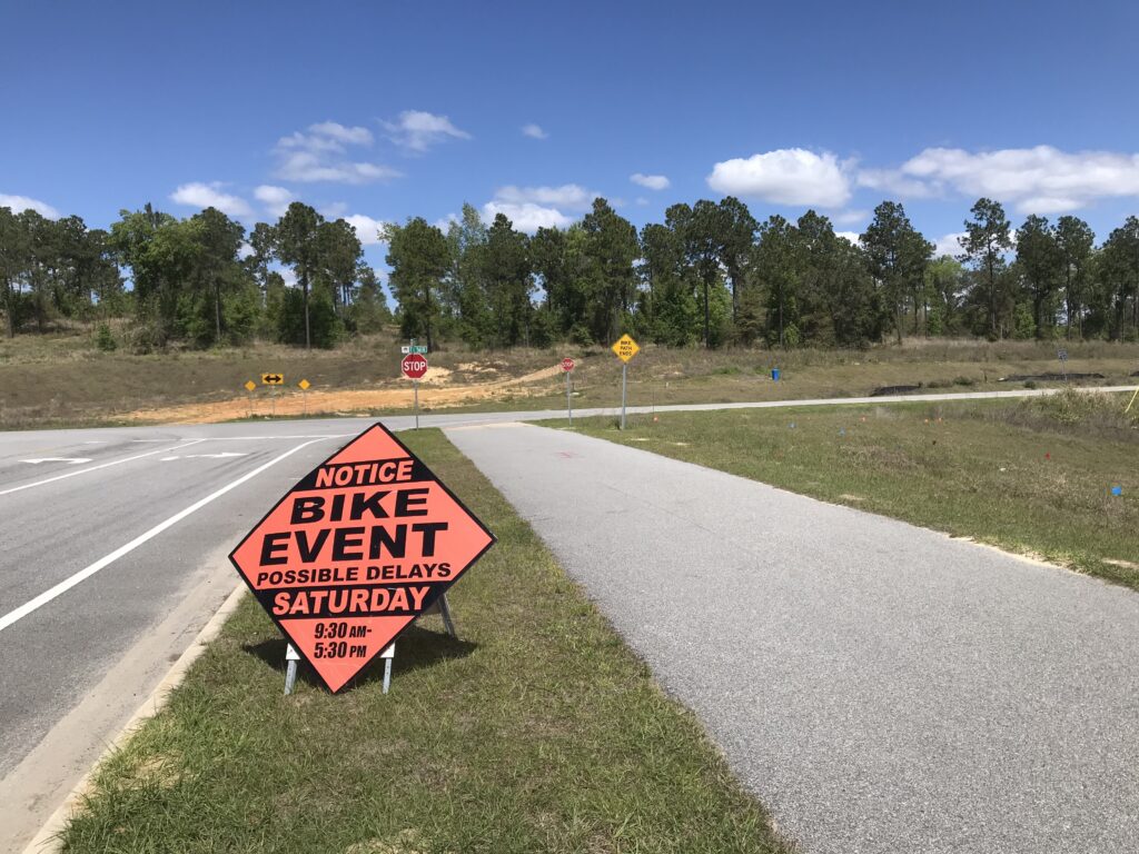
A Date With Sugarloaf

CLERMONT, FLORIDA

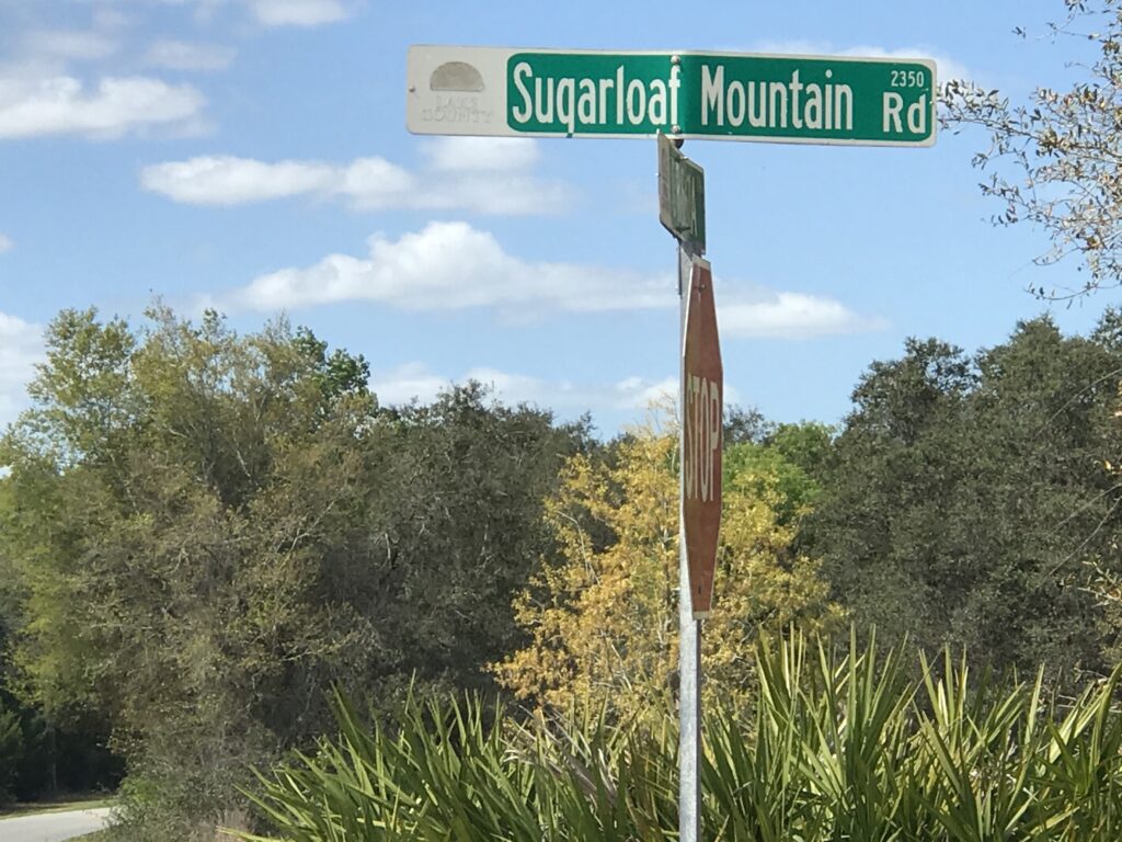
I came here for one thing only. A PR on Sugarloaf Mountain. Having ridden the Horrible Hundred event three times I thought I would be able to set a PR because I am down 40 pounds plus since I last rode it (and set a PR that day).

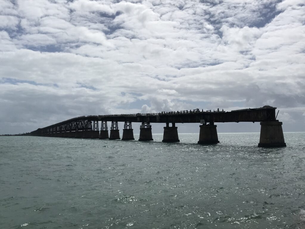
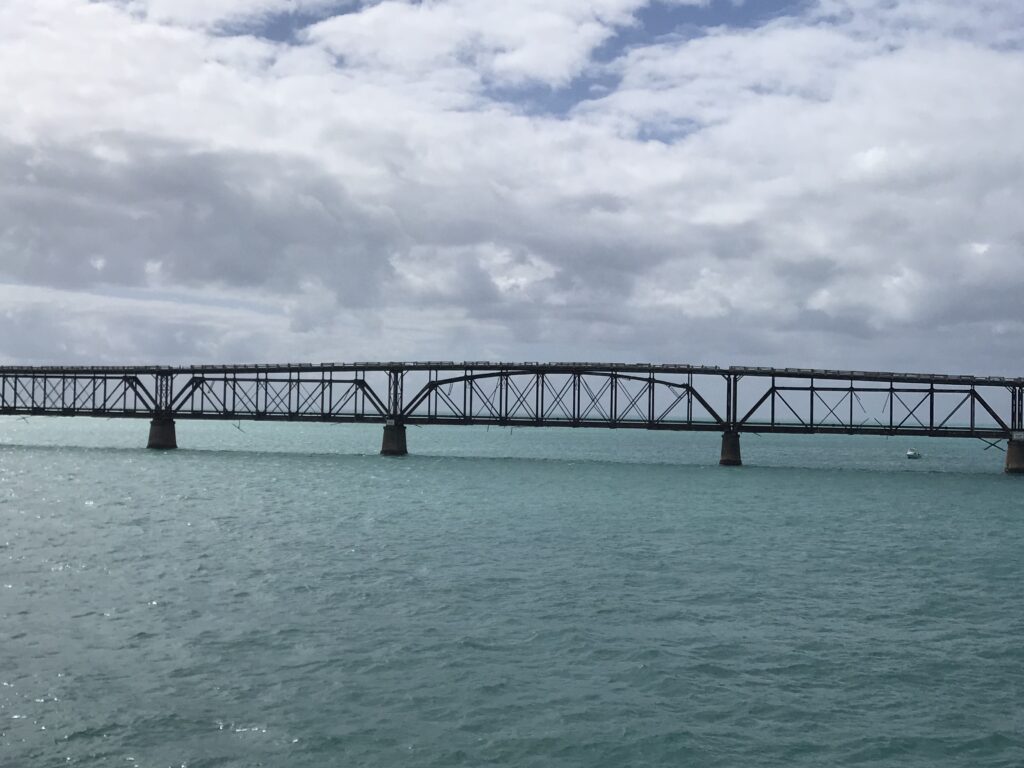
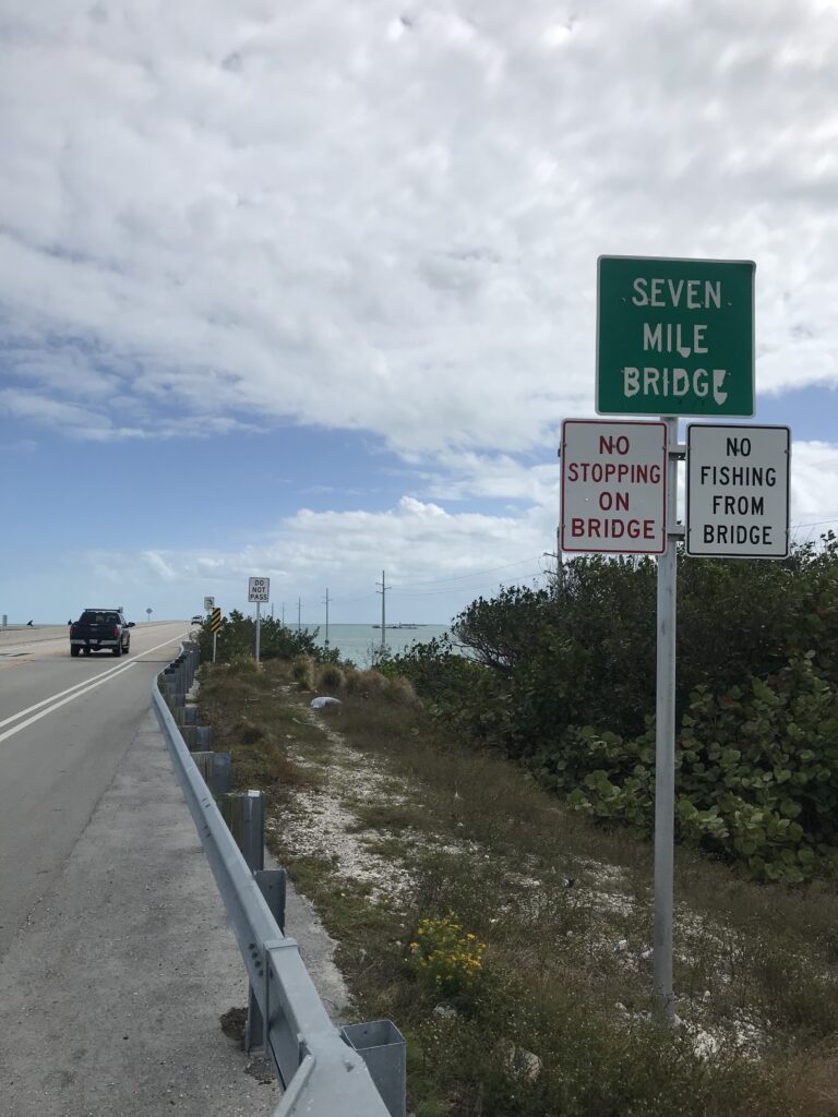
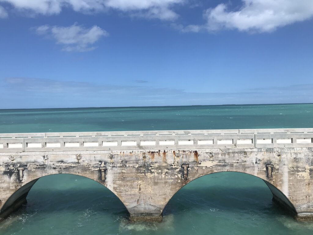
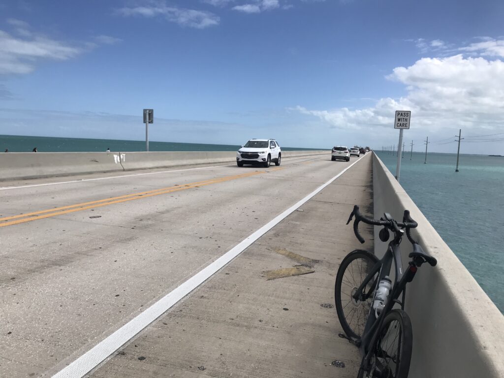
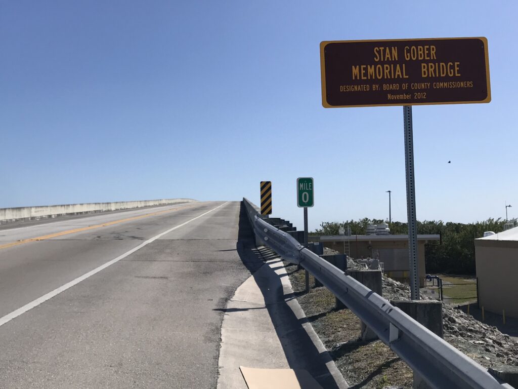
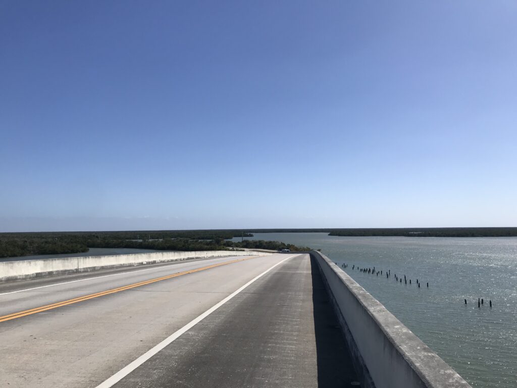
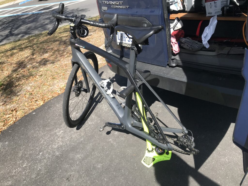
But first there was some unfinished business. I had a new tire (Continental 5000) with me and decided I would replace the one that flatted yesterday on the Seven Mile Bridge.

My bicycle pump doubles as an impromptu bike stand

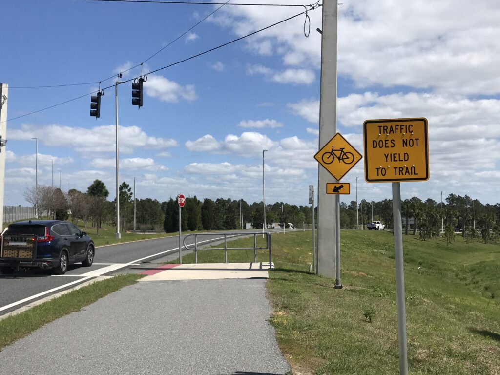
I had mapped the route of the Sugarloaf climb and uploaded it to my Wahoo. I took off into the wind. I hadn’t gone far before I was off exploring some new roads. And then I came back to familiar roads.

I was following the route when I came to Sugarloaf Road. I remembered a left hand turn but the road did not look familiar. Oh well, I rode anyhow. But it just didn’t feel right.

Sugarloaf Mountain Road

No Strava-Live segments were coming up on Wahoo and then I realized I had come up the backside of Sugarloaf. I have ridden down this way three times. But never up it. Damn. I mapped this out in the wrong direction.

Not sure what is happening but I think it’s a triathlon

I was very conscious of the wind today. It was strong. I came to the top of Sugarloaf and was amazed looking ahead at my descent. This should have been my climb. But I remember standing at the top of the 90-meter hill (ski jump) in Lahti, Finland, in 1995, and thinking what a hill. And I get to ride down it. Of course, I was riding at speed while processing this and just kept riding.

Where trails were provided I chose them

My speed crept up. I saw 48 mph on the computer and I always felt on the edge of control. As the road started to flatten out I saw a cyclist riding up the hill. I nodded because I could not take my hands off the handlebars to wave.

Moving the hillside

At the bottom of the hill, instead of turning right and following what I had mapped, I turned around. I had to try Sugarloaf the right way.

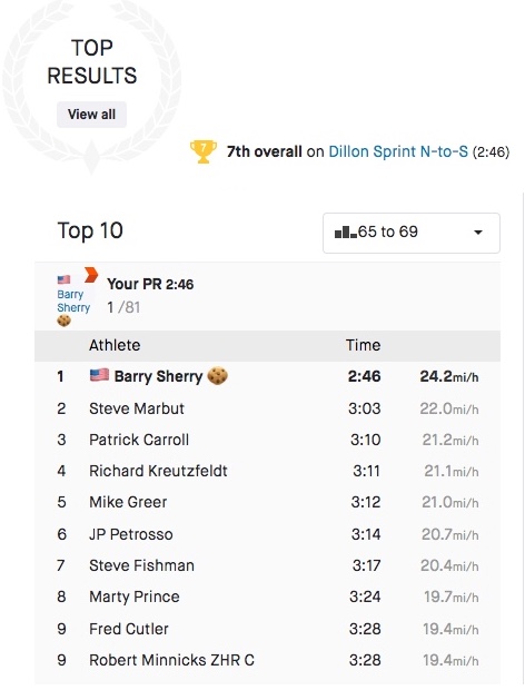
I saw the rider up ahead of me on the hill. And I was gaining. Wahoo started with a GO! But did it twice. I had marked two segments and I really was interested in one. I briefly saw I was ahead of my PR time but then didn’t see that anymore. I need to unstar one of those.

The Hancock Trail

I had a speaker on my bike and was blasting 50s music from SiriusXM. I could see the rider was a woman and I was gaining quickly. As I got close I said “there’s no sneaking up on you.” She looked at me and said “You make it look easy.” If she only knew.

At the top I went another quarter mile to a house which offered free water. I thought she would come over the top but she didn’t. I would learn that she turned around and went to ride it again. Hill repeats. Ugh.

A true sign

Turning around and going back down, I wanted to hit 50 mph. But that cross wind was a serious problem. A safety problem. I pedaled and then got into a tuck. Again, I saw 49 mph and then had a serious wheel wobble. With the winds this was too fast. I looked to slow down.

Free Water on Sugarloaf Road

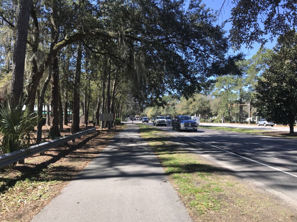
At the end of the hill a truck pulled up and some cyclists got out. I thought it was strange they drove out to ride the hill but I don’t know their stories. From there I followed Wahoo and for the next 10 miles followed the Route of the Horrible Hundred – backwards.

I finished the ride and then checked my results. I set a large number of PRs but the one I wanted – Sugarloaf, I lowered by 28 seconds. I was happy. I was now #4000 instead of #6000. I jumped 2000 places. But for context, that’s out of 10,000 athletes. So I’m in the top 40% instead of the bottom 40%. I still suck.

Waterfront Park

Maybe if I hadn’t climbed Sugarloaf from the backside first I would have been better. And maybe if there was no wind (I’m not asking for a tailwind) I would have shaved more time off. But the wind, even a crosswind, was formidable today.

Looking at other segments, Up the Ridge Westbound – horrible pave and I was second age group – missed age group#1 by :02. If I had known I would have gone for it. On Sugarloaf-Downhill I was #1 age group. I can still go downhill fast.

There are thousands of cyclists who ride these roads. I never came for a #1 in any group. I just wanted to see what I could do on Sugarloaf. I’m not done here. Next time I will ride in the right direction. And hopefully without the wind.


Distance: 31.1 miles
Average Speed: 14.7 miles
Weight: 172

Half-Mile Bridge

OHIO KEY, FLORIDA

It was eight years ago that I did a ride from Key West to Marathon and back. It was windy that day and that was OK because I did the hard work the first 50 miles into a strong wind.

The accurate forecast for today was 30 mph winds from the east. My plan was to ride from Marathon to Key West and return. But I would have a great tailwind for 50 miles and then a very difficult headwind when I was tired – the last 50 miles.

Parking at Ohio Key

I thought about first driving to Key West then riding 100 miles the same as I did eight years ago. But I stayed overnight in Homestead. I would have had to leave by 6:00 a.m. to have a decent start time. I did not check out of the hotel until 8:15 a.m.

There are some bike paths but some, like this section, are unridable on a road bike.

Much of the Overseas Highway is signed at 45 mph. It would take 2.5-3 hours to drive to Key West. And that long to drive back. Add six hours for riding and I was looking at a 12-hour day. That was too long. If I was to do this I would want to overnight in Key West.*

I settled on a Seven Mile Bridge Ride. I drove over the bridge although I could have stopped in Marathon. Around MM 31 I saw parking and decided to park there. From there I headed “north” on US 1 (which was really due east).

Former railroad then highway bridge

The winds were very strong. I needed to keep both hands on the bars to control the bike. I stopped at the bridge for a picture of the sign but decided the sign at the other end would be better.

Former railroad then highway bridge. Notice the roadway was added to the top of the structure.

I had gone just short of half a mile and I could feel the bridge bouncing. But it was more than that. The bike was bouncing. This was the tell-tale sign of a rear flat. I looked. It was flatting.

Seven Mile Bridge

I pulled over, and there isn’t much room and went to remove the wheel. I pulled out my tool kit and looked for my wheel removal tool. It wasn’t in the kit. While I was pondering how I would get back to my car, I looked at the wheel and the tool was attached. I blamed my mechanic for putting it there but it may have been put there by me when I last changed a flat on the road.

Seven Mile Bridge

Ready to inflate the wheel, the unwrapped the CO2 cartridge and the inflator tool. As I was screwing in the cartridge I saw air (vapor) spewing from a seam in the side of the tool. I quickly attached the inflator and emptied the contents into the tube. It wasn’t enough. The tire was very soft.

Bontrager Inflator

When there was a break in the 55-mph traffic on the bridge I ran across the highway and there pondered my options. There was nowhere for someone to pull over to help if I could flag someone down. I figured I had a half-mile to go to get off the bridge and then reconsider. I decided to see if I could ride it or how far I could ride until I ruined the tire completely.

Bridge beside the Seven Mile Bridge

I stood, putting all my weight on the front wheel. I made it off the bridge and saw the Sunshine Key and RV Resort. It looked beautiful and on the other side of the security fence I could see couples riding their bikes. My best option would be to ask one of them to borrow a pump. Someone would have one.

Flat tire on the Seven Mile Bridge

I rolled up to the security gate. I explained my plight and the guard was unyielding. He told me rules are rules. I asked if he liked soccer and he did. I told him the story of the Marine Colonel who didn’t understand bending the rules. And my sage advice was if he followed the rule book 100% of the time he would always make the right call – but sometimes not the best call. The guard just looked at me. He had made the right call – he would not let me in to borrow a pump.

Crumbling bridge beside the Seven Mile Bridge

Next door at the gas station I asked if they had a pump. They did not. I looked at the five cars at the pump to see evidence of bikes – surely they would have pumps. I saw no bikes. So I decided to ride as far as I could and then hitchhike.

Some bridges are open beside the highway – and some, like this one, are closed

I stood on the pedals and took off. Like on the bridge, I kept my weight forward, never once sitting on the saddle. In all it was 6.5 miles back to the car. And I made it.

Don’t take this bridge

At my car, I got out my floor pump and looked at the gauge. Less than 10 psi. Flat. I pumped it to 80 psi and then did another half-mile. It was windy. I had a long ride ahead of me. I called it a day.

Marker 88 Restaurant – Plantation Key. After a frustrating ride I decided to grab a late lunch here. Worth it!

Distance: 14.2 miles
Average Speed: 12.5 mph
Top Speed: 20.8 mph
Weight: 172

___
*If there is a next time, I should consider a shuttle service. Park in Marathon or Key Largo and ride to Key West one-way with a prevailing tailwind. Then shuttle back. Keys Shuttle and Florida Keys Shuttle are two of the services that I need to check out.

See ya later Alligator

THE EVERGLADES, FLORIDA

I must say, that was quite an experience. I went to Shark Valley in the Everglades with not much in the way of expectations.

Entrance to the Everglades at Shark Valley

My Lifetime Senior pass got me right in and avoided a $30 (vehicle) or $15 (bicycle) fee.

The tram/bike path

The parking lot was pretty full but I found a space. Got my bike out and was ready to roll in a few minutes. I saw a park ranger and asked if I should ride the loop clockwise or counterclockwise. He said it was better to ride it counter-clockwise.

Just a teenager

The trail is one vehicle width wide. Just large enough for the park’s tram tours to get by. There is a sign that cyclists must pull over from trams to pass. Since they were going clockwise, it was easy to see them. While I was on the trail there were two trams that came by. I dismounted, stood gingerly off the road always carefully watching my feet for any activity that may be lurking nearby. Both times the tram operator gave me a big thumbs up.

A couple youngsters

It was within the firsr quarter-mile that I saw my first gator – just relaxing just off the road to my right. Alligators could be and were anywhere. Left side or right side. Just riding along with my head on a swivel, there were gators on both sides.

Pedal fast to get by – tram coming in the distance

And none were moving. They seemed completely disinterested in this cyclist. Perhaps adult humans were too big to attack, at least on land. In the water would be a different story but not going in there.

I passed a nest, if it was called that. A momma gator had perhaps 30 little ones with her. I wasn’t real sure that she might be aggressive. In fact, the National Park Service put out yellow tape near her nest so she was easy to find but at the same time let people know to keep their distance.

The observation deck

Most of the alligators I saw were in the first seven miles to Shark Valley and the observation deck. People could hike (walk) that far but the two most common ways were to take the tram or bike. As of this writing, the tram rates were $27 for adults and $14 for children. Bike rentals were $20.

Alligator to the right

Actually, the first three miles probably contained the most alligators. But this will vary depending on the season and water level. People willing to walk in for about two miles then turn around would have seen plenty.

Big white birds. I suspect this is the Wood Stork.

I made the turn back at the observation deck. There were few travelers in this section although a park ranger came from the other direction. She was on a bike and not wearing a mask. All federal properties including national parks were under a mandatory mask requirement and only about the rangers wore them and probably 20% of the visitors. I suspect it was a requirement on the tram though.

Vultures. These two did not flinch as I rode by.

But what fun. Just riding along and there’s an alligator. Or two. Or twenty. Definitely a bucket list trip. Try it. It’s fun!


Marco Polo. Marco Island

MARCO ISLAND, FLORIDA

it looked like a nice ride so I thought about this 40-mile loop for a few weeks now. I have never been to Marco Island so this was my chance – perhaps my only chance.

Bike path – looks like a sidewalk, but it’s not

I used a ride done by my friend, Joe, a few weeks ago. I parked in a shopping center by a Publix grocery store. I headed west planning to be on street but it had no shoulders and no bike lane. Next to it was a concrete path that looked like a bike path. I followed it for a half-mile until I turned into a residential area and took streets until I reached Collier Blvd.

Collier Blvd bike lane

Collier is a six-lane highway which is very busy. It does have a separate bike lane which is separated from 50 mph traffic by five inches of paint. But it’s white paint so that must have protective qualities.

On Marco Island

The next 4.5 miles to Marco Island, I flew, I was hitting speeds of 30 mph and averaged 24 mph for the segment. That could only mean one thing. Tailwind.

Marco Island

On Marco Island, I was mostly in traffic lanes. I didn’t find over-courteous or rude drivers. Just drivers. They were fine. I was fine. We got along.

I followed the southern route out of town. It took me over the Stan Gober bridge and then it was a 55-mph two-lane highway. Joe told me it was straight and the traffic was used to seeing cyclists. While I was the only cyclist I saw today, at no time did I feel unsafe or had any cars pass without giving a wide berth. And I was also going into a brutal headwind. My trip to Marco was a gift. This was the work.

Stan Gober Bridge

For the next 12 miles, I only averaged 14.6 mph. It was tough work. I saw a number of signs for “Buddy,” a dog missing in the area since Feb. 11 (a month now). Breaks your heart. I sure hope Buddy was reunited at his home.

On the down side of the Gober

I turned on Highway 41 North and, to my surprise, saw a pretty nice bike path next to the highway. It would only last 2.3 miles. But I crossed over the highway and picked up a bike lane. I would ride the bike lane six miles to my turn back into the neighborhood. I also picked up a cross tailwind. It helped. I averaged 20 mph in this section.

View off the Gober bridge

Not all cyclists are comfortable riding on the road, like I did leaving Marco, or in a bike lane that is on Hwy 41. You have to trust, and hope, and pray, that no one is distracted and they stay in their lane and don’t drift. It’s not my favorite place to ride but I would not necessarily avoid it.

Bike lane on Hwy 41

The last five miles were back into the headwind. And my speed dropped to 14.9 for the segment. Arriving back I had covered 41 miles at a speed of 17.9 mph. I was hoping for 18 but with the winds, this wasn’t too bad. My winter rides were often 11-12 miles and even though I rode at Hilton Head last week, it wasn’t far and wasn’t at speed. So this was a jump. A huge jump. I’m happy.


Distance: 41 miles
Average speed: 18 mph (RideWithGPS)
Max speed: 37.8 mph
Weight: 172

Roosters Reunited

NAPLES, FLORIDA

Two years ago I rode in Luxembourg with Rooster Racing. One of our riders was Margaret O. from Naples, Florida. When I told her I would be in the area she told me about the Bike and Brunch ride sponsored by the Naples Pathways Coalition. I registered and we met at Lowdermilk Park in Naples, the start/finish location for the ride.

Barry and Joe

Before I connected with Margaret, I found Joe B., who I worked with in Washington, D.C. We had a brief conversation and then left in our respective ride groups.

Naples Pier

We started in neighborhoods and Margaret found (for me) our first impromptu rest stop – at the pier in Naples. After a break we rode off, Margaret giving me a tour of the neighborhoods.

First Rest Stop

We stopped at the first rest stop at a community center around Mile 20. Once we left there we started off into long straight roads, generally with a bike lane next to a 45-50 mph highway.

Concession stand at Lowdermilk Park

The winds were strong. It seemed they were always at an angle so we never got the benefit of a true headwind. Our second stop was set up by a gas station and was manned by some very nice high school students.

Rest Stop 2

Arriving back the organizers had some chips and salsa from Moe’s (a sponsor). That was unexpected in these COVID times – we did not expect anything. We sat on the patio at the concession stand enjoying the 75° weather, reminiscing about our trip two years ago to Luxembourg.

I saw an eagle

It was Roosters Reunited for another day.

Barry and Margaret

After the ride I decided that I would retire (discard) the Rooster Racing bib shorts. Although they don’t look bad in the photo, they wore horribly worn and see-thru (on the thighs). And when I got back to the hotel, a woman who had been with a number of bike racers today, told me that I looked like a bike racer. Sweet!


f

A Great Place for Bicycles, Not a Great Place for Cyclists

HILTON HEAD ISLAND, SOUTH CAROLINA

We came with the family for a week at Hilton Head Island. And I came to ride my bike (also).

On one hand, Hilton Head is perhaps one of the most bicycle-friendly communities in the country. They tout the miles of bike paths they have – which is true. But it also one of the worst places to be a cyclist.

Coligny Beach on Hilton Head

Many of the roads and streets on Hilton Head have adjoining bike paths which, depending where you are, cyclists are encouraged or required to use. They’re nice – for going 8 mph.

Bike path on Hilton Head

I rode many which were rooted (had tree roots underneath the asphalt which created a dangerous bump), were partially combined with a sidewalk and had a dangerous seam between the two, and way too many at grade crossings with streets. At every intersection while waiting to cross not one single vehicle stopped to allow me or others to cross.

Coligny Beach at Hilton Head

In addition, because riding bikes is popular, one must share the paths with kids on training wheels, walkers, runners, and dogs. Also, few are straight and run exactly parallel to the street they belong but wind and curve around trees and other dangerous obstacles.

Bike path on Hilton Head

If you are a cyclist, like I am, and cycling is your primary form of cardio exercise, one will not get the heart rate up if you ride sensibly on the bike paths which you should. One must ride on the street. And this is frowned upon by all those who drive vehicles.

Harbour Town

Somewhere there must exist one sign on the island that says SHARE THE ROAD but I never saw one. Bicycles simply don’t belong (except on bike trails).

Rooted paths

No where was this more evident that at Sea Pines Plantation. SPP is at the southern end of the island and is where Harbour Town and the lighthouse are located.

The Bike Doctor

The first day I was going to ride to the lighthouse I came to a control gate. The guard told me it was $9 and I decided not to pay it, electing to turn around instead. I was not told I was not permitted. But the next day I decided I would pay the fee. This time the guard told me that bikes were not allowed to enter unless they were in/on a car.

I could ride to within 50 yards of the gate, have my car meet me, put the bike in the car, drive through the gate and unload the bike, and that would be OK. The automobile is king here.

Bike gate leaving Sea Pines – that code probably no longer works

While I was being turned away at the gate, a lovely couple rode through the bicycle gate and signaled me over. I went while they held open the gate. I was in. I saved $9 and rode to the lighthouse.

I saw the lighthouse. For free.

While at SPP a security guard told me that I was not allowed to ride on the road because it’s a rule in Sea Pines. Is it a rule or the law? The best I can tell is that SPP is private property and they can make and enforce “rules” for their property although enforcement probably would not entail fines. Not sure what powers they have other then to require someone to leave.

Couple who left me in. Thanks!

South Carolina Law (SECTION 56-5-3425.) requires bikes to ride in a bike lane next to the roadway if one is provided (except to pass). And then, this: “bicyclists may ride on the roadway when there is only an adjacent recreational bicycle path available instead of a bicycle lane.”

Unless there is a local “law,” there is no requirement that cyclists have to be on those crooked recreational bike paths. But there are 1,000 Karens on the island who think and will tell you differently.

One of the straighter sections of bike path

Arriving at our rental house, I took off on a mixture of bike paths and roadway (side streets, not main roads). The weather was cool and rainy so I did not ride far but on my second day I saw I had four new PRs (compared to the day before). And that became my goal: see how far and fast I could ride.

At a minimum, I set out to be #1 age group on all four. On the first day I was out of the Top Ten Age Group on all. And I went. And I won. Number One on all four segments near the house. That was fun and gave me something to aim for.

First Age Group and Seventh Overall on Dillon Springs

Besides the Dillon Springs segment, I had the age group #1 on ay Carrabba’s (0:51 – old was 1:06); Beach City to Dillon (2:52-3:01); Reverse Folly Sprint (0:54-0:58).

So it was a fun week of riding. Except for the streets near our beach house, most were on the bike paths and would have been fun for a slow roll with the grandkids – but not at a pace to get the heart rate up. I suspect the best riding was back over the bridge around Bluffton on some country roads.

There were some flooded streets

Another indicator that this place is not a mecca for cyclists was my adventure in trying to buy an insulated Camelbak Polartek water bottle. There are many bike “shops” on the island but most, if not all, cater to the rental business. Much like my experience on Sanibel Island trying to buy a tube, the bike shops did not carry this simply accessory. I rode to the Bike Doctor and they did not carry it. A driver from Hilton Head Island Bicycles had pulled over so I asked him if his shop carried it and he said they did not. I stopped at Wheelz of Hilton Head as I rode by. While they didn’t have a 21 oz Camelbak, they did have a 24 oz. Polartek. I took it. Since most shops are rental locations, road cyclists should make sure they bring every thing they need and not simple able to purchase it on the island.

Wheelz on Hilton Head. Beautiful building and nice staff.

We had a good week. I saw an alligator on one ride and ended up in a helicopter on another. It’s a fun place for most people to ride but serious cyclists may be a little frustrated here..

Alligator and heron

Verified by MonsterInsights