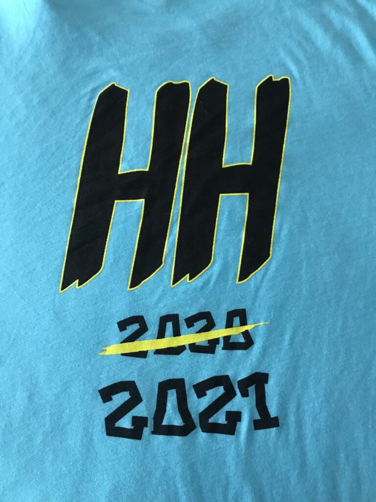
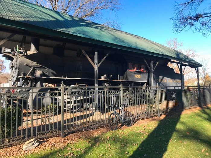
Horrible Hundred

CLERMONT, FLORIDA

The Horrible Hundred can be a full weekend of fun. On Saturday they offer “familiarization rides” which are group rides that cover some of the roads. This is followed by the main event on Sunday. So two days of riding.

Clermont, Florida

The 8:30 ride on Saturday is listed as 17 mph and 50 miles. I did that one twice before. The last time was in 2018. On that ride, we seemingly had 100 riders and way too much testosterone. We had a bad touch of wheels and some riders hit the deck hard when one of the guys at the front braked hard to take a nature break. That would be the last time I would jump in with that group.

Saturday group ride – Howey-in-the-Hills

In 2019, I jumped in with a mid-ride group (16 mph) and had an enjoyable ride over 35 miles or so. And this weekend I would again find the 8:45 group. Our leader was Stacey (I believe). We had a great group that stayed together. Other than Stacey, maybe not the most friendly group but I didn’t ride to make friends. Nor were there any jerks. I told her that this ride was the best part of the weekend.

Saturday ride at a quick stop

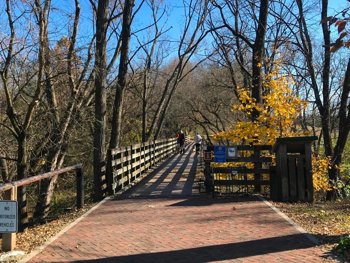
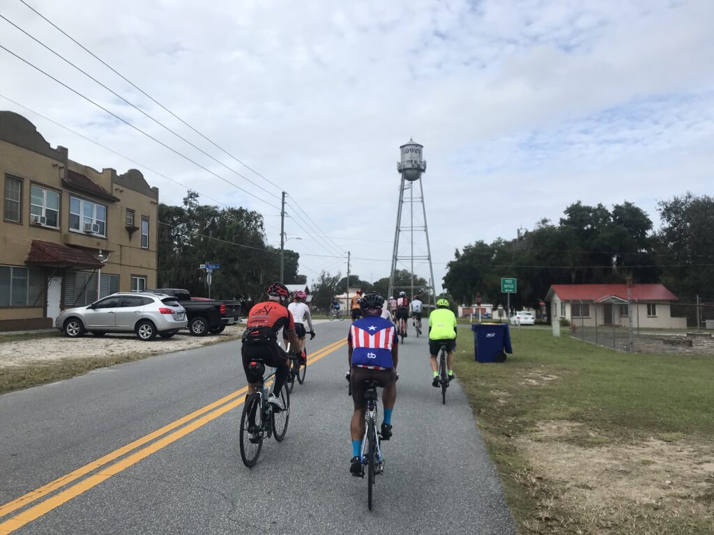
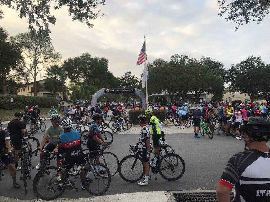
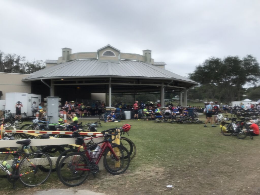
Officially the Sunday ride starts at 7:30 a.m. and I arrived at 6:30 a.m. I could not find a parking place at the official lots. Not to worry, I went another half-mile away and rode in. And there were many riders already on course at 7:00 a.m.

John D. and Barry Sherry at Rest 1

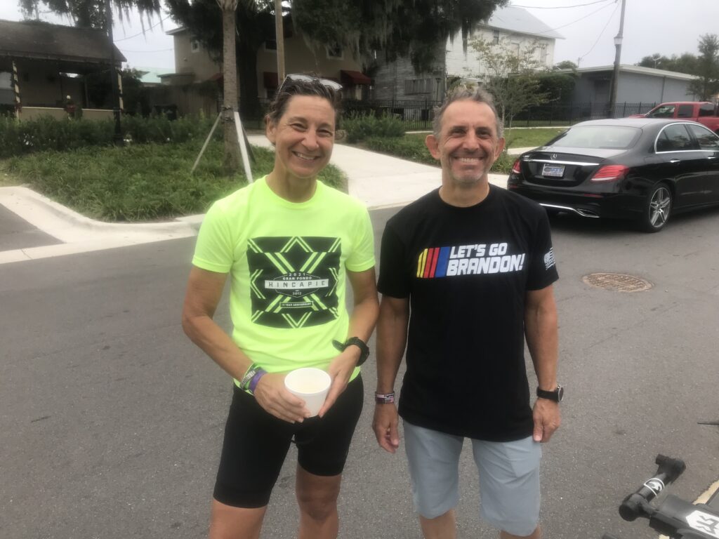
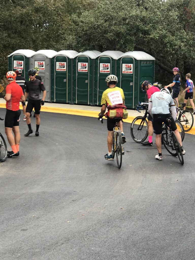
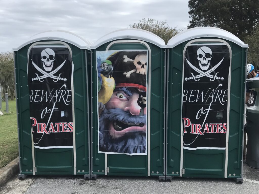
I was in line at the porta-johns when I received a text from John D. He was two people in front of me. He had driven up from Sarasota but was unsure how far he could ride.

Food at Rest Stop 1

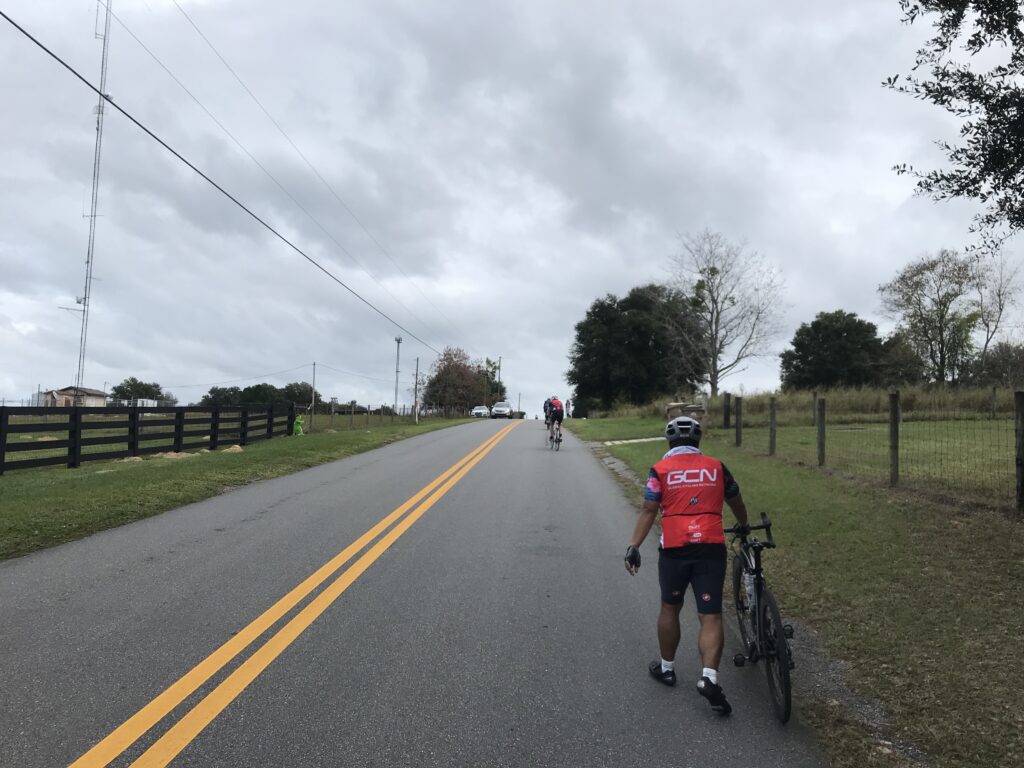
It turned out that John could only ride 35 miles, instead of 70. He had hip replacement surgery earlier this year and wasn’t back to riding many miles. We were passed by a couple of huge groups. They were very sketchy and I didn’t join them because I was afraid of a touch of wheels that would bring down a number of riders.

Thanksgiving is coming

A few miles later we came upon a crash scene. Half the road was shut down and a number of cyclists had stopped although may not have been involved in a crash. But paramedics were working on one rider who was lying in the road. It was probably caused by a touch of wheels but you never know.

Group start in Clermont

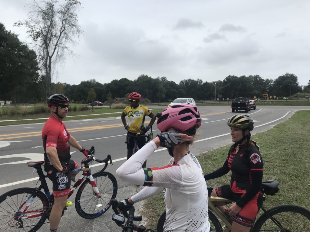
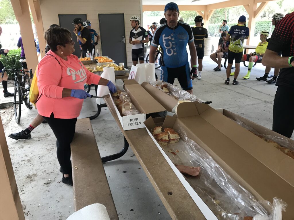
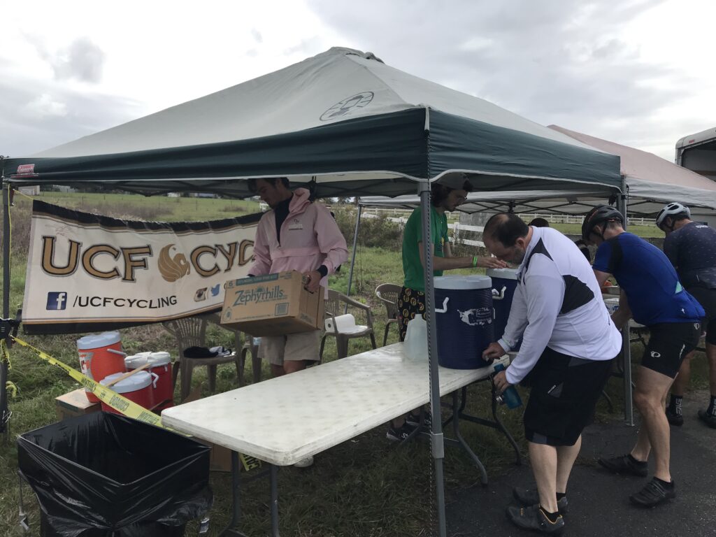
We came to Rest 1 and stopped to refill bottles and take on some food. Once on the road again, John was looking for the turn back to start. That was around Mile 30. He would have five more miles back to start and I would have a decision to make.

Rest 1 – Notice the Limited Vision Cyclist

I was riding solo and catching people. Then I noticed I had someone on my wheel. He should have said something and even passed me and took a pull. But basically sat on my wheel for 3-4 miles until Rest 2 (almost). When he pulled in he came over and gave me a fist pump and thanked me for the pull. He said I was a strong rider (sucking up).

Rest Stop 2

Leaving Rest 2, I jumped on the back of a group from Clearwater. We were going into a strong headwind at 22-23 mph. I stayed with them for 2-3 miles then decided to let them go. I’m not sure if you say I got dropped or let them go but I’m going with the latter.

Food at Rest Stop 2. Sandwiches.

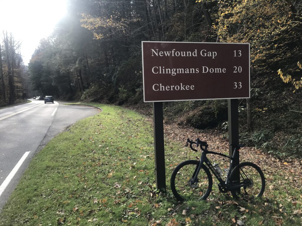
At Mile 54 was the moment of truth. If John had been with me I know we would have gone for the 70-mile route. But I stopped to check the weather because it had become gray. But the weather app showed 15% of rain for the next few hours so I decided to go for the 100.

Rest Stop 3 – Pirates
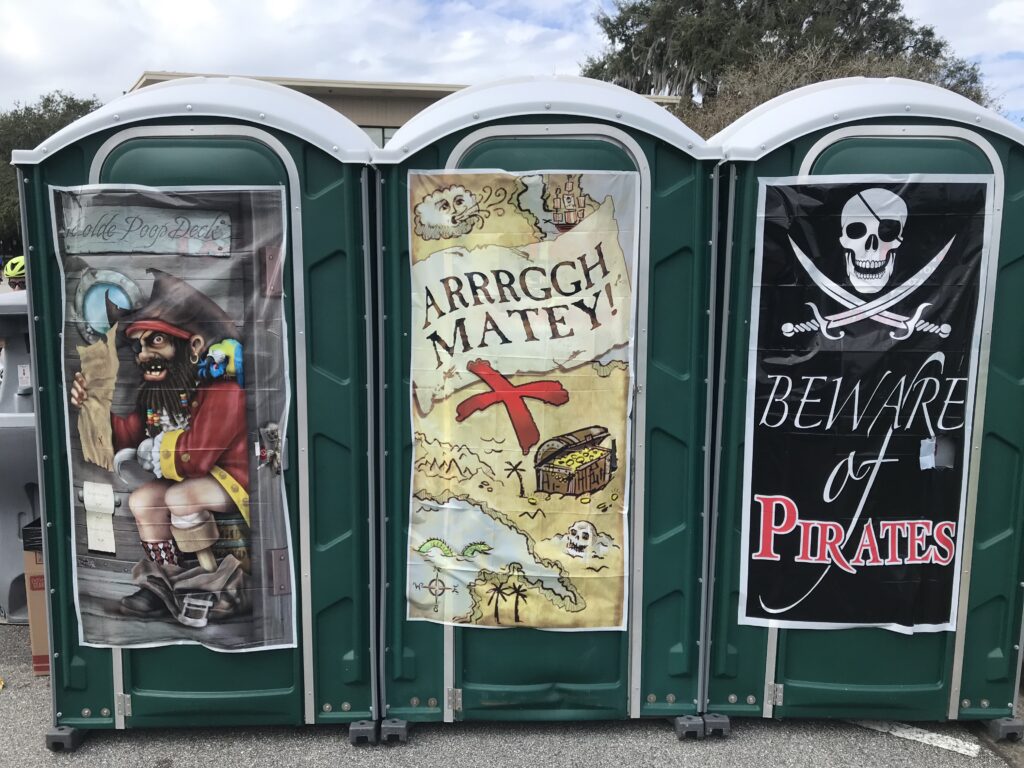
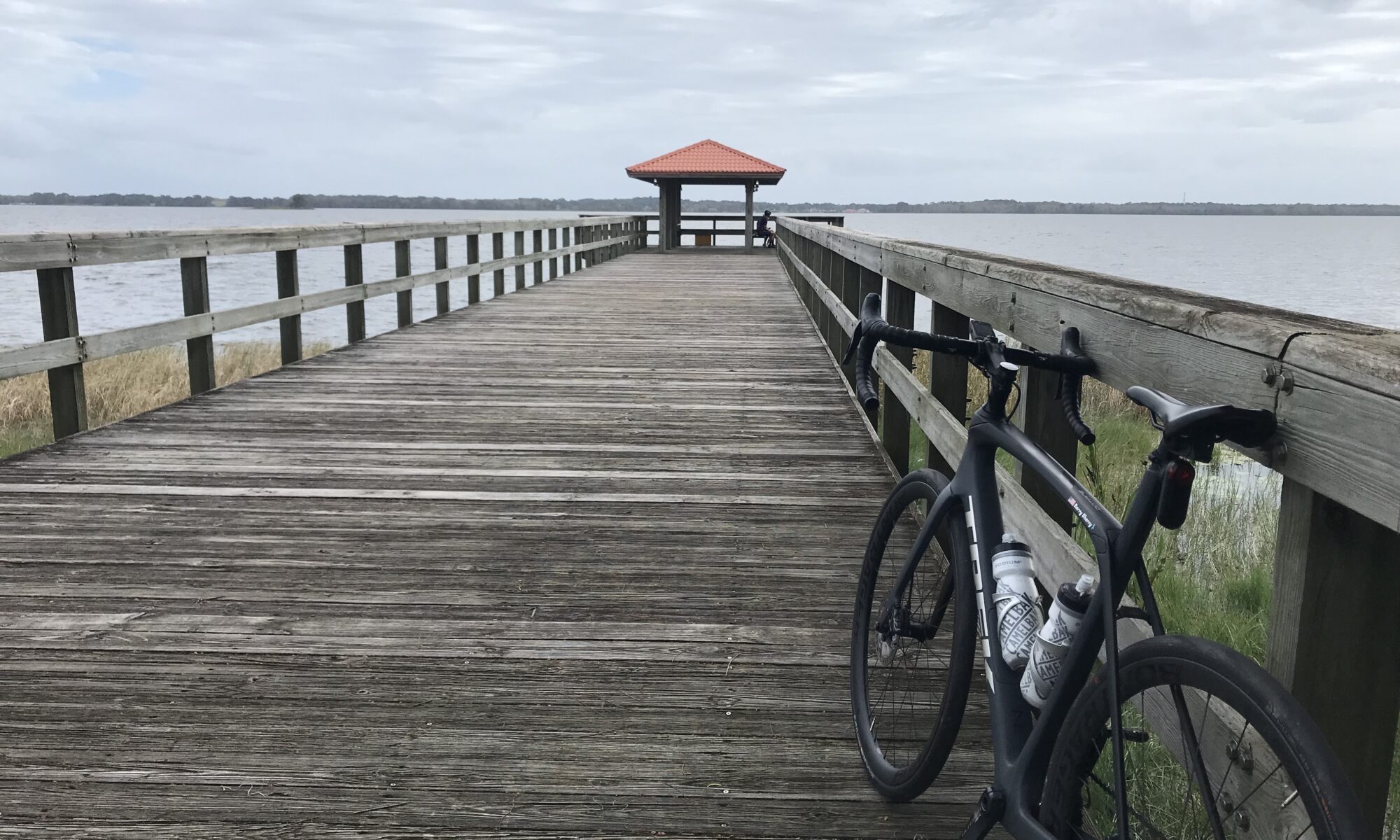
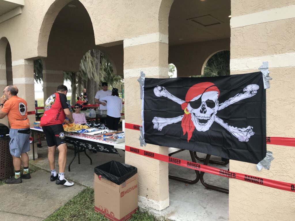
Ye Olde Poop Deck (far left)

From my first ride five years ago, and I may be misremembering, I was expecting a 30-mile loop. That would be the difference between 70 miles and 100 miles.

Rooster at Howey-in-the-Hills

After a rest stop in Howey-in-the-Hills, the loop was completed in just 17 miles. And I didn’t mind.

Rest Stop 4 – Sugarloaf Mountain

I came to Sugarloaf Mountain with a wind in my face. I did not expect a PR and I did not disappoint. But I was only two seconds off my best on the lower portion. I had ridden this in March and set my PRs on that day. Today was not the day for it.

Someone pushing their bike up Sugarloaf. Love the GCN Jersey.

After I left the last rest stop at Sugarloaf, I saw that I had about 10 miles to go. I had ridden 80 and was happy to see that the shortened Howey loop apparently cut off 10 miles.

Pirate Rest Stop – 4

Likewise, when I came to the road back to Clermont, I saw that the 70-mile group turned while the 100-mile continued – apparently for a 10-mile loop or simply a different route. I decided to finish the 100.

John cresting a hill

I was in a group of four when we came back to the first rest stop. They stopped. I continued. I just wanted to finish.

This guy was cramping so I gave him my bottle of HotShot.

I came to one more route marker for the 100-mile ride. I decided to turn and take the 70-mile route back. I thought it would be shorter and I did not care if I finished with 96 or 97 miles. There was a time I was anal-retentive that a Century ride must be 100 miles. Not today.

Lunch

But the joke was on me. It was 100 miles.

Very good meal

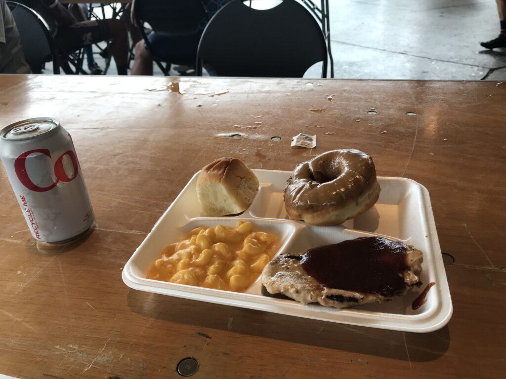
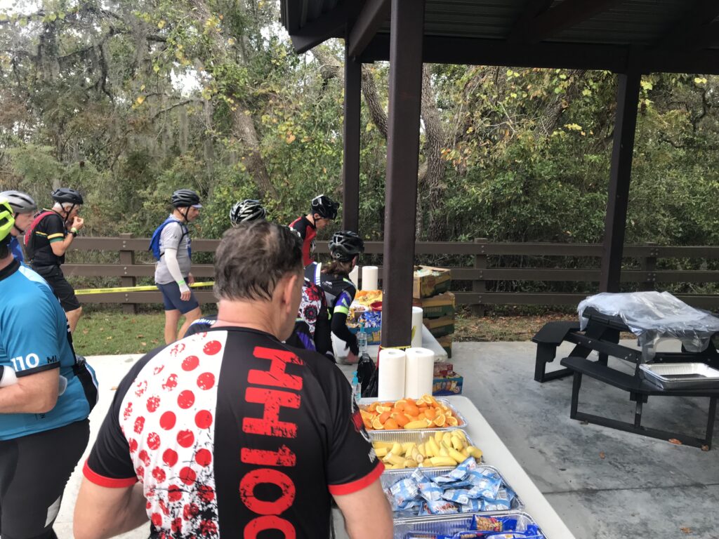
The lunch was great although I was certainly by myself. Options were a pulled pork sandwich, grilled chicken breast, or a veggie burger (I think).

Lunch

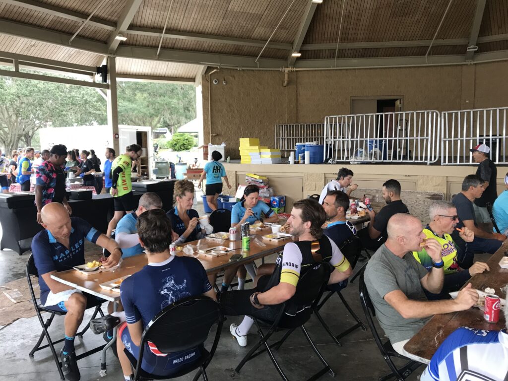
I had looked in vain from Stacey, the ride leader from yesterday, simply to thank her once again. But there were way too many people.

Walking up Sugarloaf

It was a good day. Afterward, I headed back to the hotel in Apopka. I washed all my kits from this trip to take home some nice-smelling clothes. And watch the Steelers vs. Chargers tonight.

We like pirates


DISTANCE: 101 miles
TIME:
SPEED:
WEIGHT: 171 pounds

Good job changing the T-shirt

Clingmans’ Dome

GATLINGBURG, TENNESSEE

It wasn’t a bucket list climb but was certainly one that I wanted to do. I was traveling with my mother, age 90, and we diverted slightly, on our way to Florida. By slightly, I mean 115 miles. Or I guess 129 to include the seven-mile access road to Clingman’s Dome.

Sugarlands Visitor Center

Bad weather would have scrubbed my plans but the weather forecast looked good for Gatlinburg with a high temperature of 70 forecast – for Gatlinburg, but not for Clingman’s Dome. It was in the low 50s when I decided to push off from the Sugarlands Visitor Center.

U.S. Rte. 441

The instructions to my mother were simple. Follow the highway (U.S. 441) 13 miles to the top of the mountain then turn right to Clingman’s Dome. If she started to go down the mountain she went too far. I realized as I was riding that I should have had her leapfrog from pull-off to pull off and she would be more comfortable knowing where I was.

West Prong Little Pigeon River

I wore a long-sleeve Under Armour underneath my Schleck jersey along with a light vest. Gloves and a thermal cap complemented my kit.

First tunnel

Newfound Gap Road (U.S. Rte 441) from Gatlinburg to Cherokee, North Carolina is a 36-mile road. At Newfound Gap, which is the border of Tennesse and North Carolina, there is a seven-mile access road to Clingman’s Gap. It is a two-lane road with no shoulders but plenty of pull-offs. The speed limit is generally 45 mph and I reasoned, maybe incorrectly, that the majority of traffic would be park goers in no hurry. But this is also U.S. Rte 441 and the only way over the mountain. Surely there were some drivers trying to get over the mountain as quickly as possible.

The Loop – The road goes under, or over, itself

As I started climbing I also got passed by a few cars. I would play a game and simply count the number of cars that passed me on this ride. And I would tweet out how courteous the drivers were. This lasted 91 cars, The 92nd came by me and almost hit me. I reacted badly. I screamed out.

Walker Gap Prong

I don’t ride on the white line. I’m not coordinated enough to do that as surely I would go off the road. But I ride constantly about 1-2′ to the left of the white line. And this driver seemed determined that he would drive right in the middle of the lane whether I was there or not.

Morton Mountain Tunnel

We used to always think these were aggressive drivers meaning to punish cyclists. But some are surely distracted drivers who come upon cyclists quickly. And if you were driving 45 mph, you come upon a cyclist traveling 8-10 mph pretty quickly. Assuming there was no cell service to be messing with a phone (maybe there was?), I believe the driver was aggressive and not distracted. But it sure scared me.

Appalachian Trail crosses on the Clingman’s Dome Road
(And also in the parking lot at Newfound Gap)

I would start my count over. I got to 31 before a second car passed me very closely. Then I got to 161 before a pickup truck driver tried to put its hood underneath my left elbow. Literally. I looked at the driver. I yelled. Then I moved to the center so he knew he didn’t have room to pass in the lane. It was quite harrowing.

Ice on the road to Clingman’s Dome

Part-way up the mountain was a construction zone. Traffic was being held for one-lane travel so at times I basically had the road to myself. But when the traffic was released by the construction flagger, I pulled off the road and let the entire group pass. There may have been 50-60 cars at a time that I would let pass while I stood safely off the road. And I did not include them in my totals of the number of cars that passed me. I was glad to pull over and let them by while waiting for that empty gap to resume riding.

Newfound Gap – Tennessee-North Carolina State Line

About three miles into the ride I pulled over to unzip the vest, removed the gloves, and my headcover. I was sweating pretty nicely on this November day. Near the top of the Newfound Gap climb, I pulled over to zip up the jacket and put my gloves back on. It was getting cold.

Newfound Gap

I was glad at the gap to turn onto Clingman’s Gap access road. I was surprised to see that it was closed from December 1 – March 31. I hadn’t even thought of that. But I beat it by 15 days. I hoped there wasn’t a lot more climbing, picturing the road traveling alongside the mountain top. Of course, I knew it still climbed. It was a slog. The entire ride wasn’t overly difficult but it sure was a constant slog.

You can see what the observation tower looks like on a clear day on the sign

As I climbed to the top visibility dropped to about 100′. I saw my car but my mother wasn’t in it. I went a bit farther and saw she was at a restroom. I went to the base of the observation tower and found some willing person to take my photo.

I really wanted to keep riding to Cherokee. It was all downhill and who wouldn’t love a 20-mile downhill. But it would also mean trusting my mother to drive down the mountain and I wasn’t going to ask her to do that.

My mother at the TN-NC State Line

I sincerely doubt I will get the chance to ride down either side – back to Gatlinburg or ahead to Cherokee. I have no desire to ever ride this one again. I do not recommend this climb. The road surface is great. The scenery is wonderful. But the traffic is crap. Cyclists have the right to be on the road. But I don’t want to be dead right.


Creeper Trail

ABINGTON, VIRGINIA

The Virginia Creeper Trail had intrigued me for a while. I did not plan to ride it, especially this time of year. But a trip to Florida and I decided to get a taste of it. The experience on the trail would determine whether I want to make this a destination trip at some point.

Creeper Trail – Abington, Va.

I was traveling from Pennsylvania to Florida and had my mother with me. We left Somerset and there were three to four inches of snow on the ground and on the road. My consecutive days ridden streak was now at 1,049 straight days and I hoped to be able to finish a third consecutive year of a ride every single day. I would need a ride today.

Bridge 1

It would be a long day in the car and I tried to stop with my mother at least once every two hours. I saw we would pass through Abington, Virginia. I knew the Creeper Trail went through or to Abington but I didn’t know much more. But I would figure it out.

Creeper Trail covered in leaves

It never warmed up but the 44 degrees were much warmer than we left behind in Somerset. I told my mother I would need about 45 minutes and we took a break from our trip from Somerset, Pa. to Gatlinburg, Tenn.

We parked at a trailhead and thought I might have an option of going north or south (or east or west). But Abington is the terminus so there was one way to go.

And the direction was down. The trail goes 34 miles to Whitetop Station in the Mount Rogers National Recreation Area, at the Virginia-North Carolina border.

Bridge 3

The trail is a crushed limestone trail. In November the gravel is mostly covered by leaves. I was on my Trek Domane road bike and had no problems on the trail. I saw some neat fixtures (trestles).

Abington, Va.

We had parked in a lot and my mother took the opportunity to walk out on the first trestle. I was gone for 55 minutes as I was not making good time on the leaves. It was a very nice diversion and I certainly would ride it again if I’m in the area. Given my distance (178 miles) from the trail, I don’t know that I would return just to ride this trail. But if I was in the area I certainly would.

A View from the Creeper

There is a shuttle in the area that one can use to go to one end and ride back to the car. I thought the grades on this trail were a little steeper than some of the trails I have been on and that would be a fun option to explore. But this was a nice ride on a chilly Fall day. My 1,049th consecutive ride.


Verified by MonsterInsights