Saint Michaels

SAINT MICHAELS, MARYLAND

I’m not sure why I picked this. I think I was looking at cycling on Kent Island and my eyes looked at the map and saw St. Michaels. I’ve certainly heard of it but never been there.

Idlewild Park, Easton, Md.

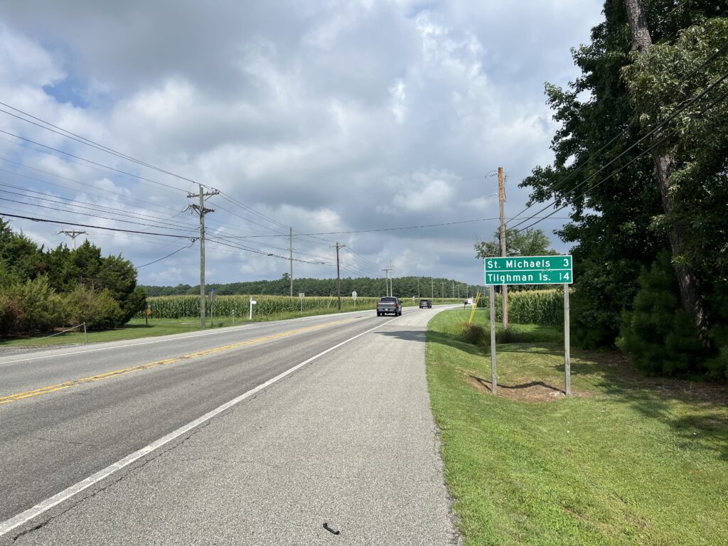
I saw Tilghman’s Island and thought I’d do a ride from St. Michaels to Tilghman’s. But that wasn’t far enough. A quick search for cycling St. Michaels and I found the Bellevue Ferry. I haven’t had a bike ride with a ferry since White’s Ferry on the Potomac closed. Using RidewithGPS I had my route. It was a 60-mile route from departing from Idlewild Park in Easton.

On the way to St. Michaels

I was watching the weather for the week and planned to ride tomorrow (Thursday). But when I woke up this morning I looked at the next 36 hours and today presented a better chance of not getting caught in thunderstorms. I left home at 7:35 am.

What does this sign mean? It is next to the bike lane (a wide shoulder).
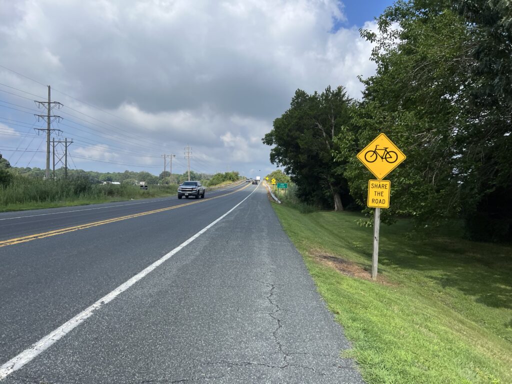
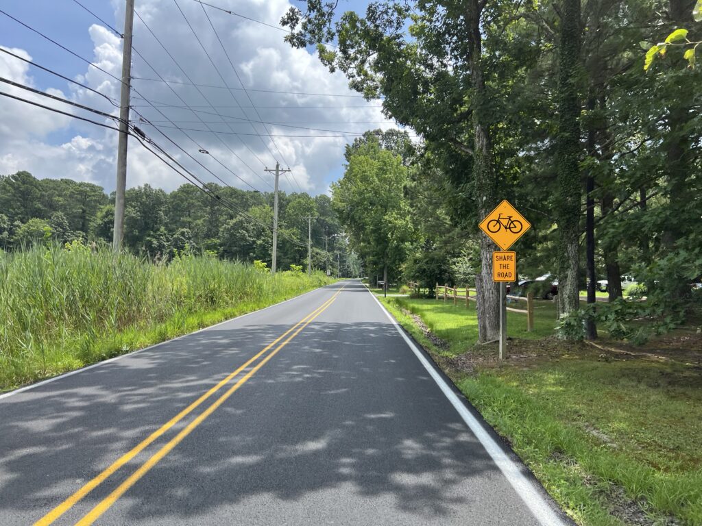
Bikes can use the road? Maryland, you are confusing.
Or maybe it’s a warning that the road narrows on the bridge ahead.

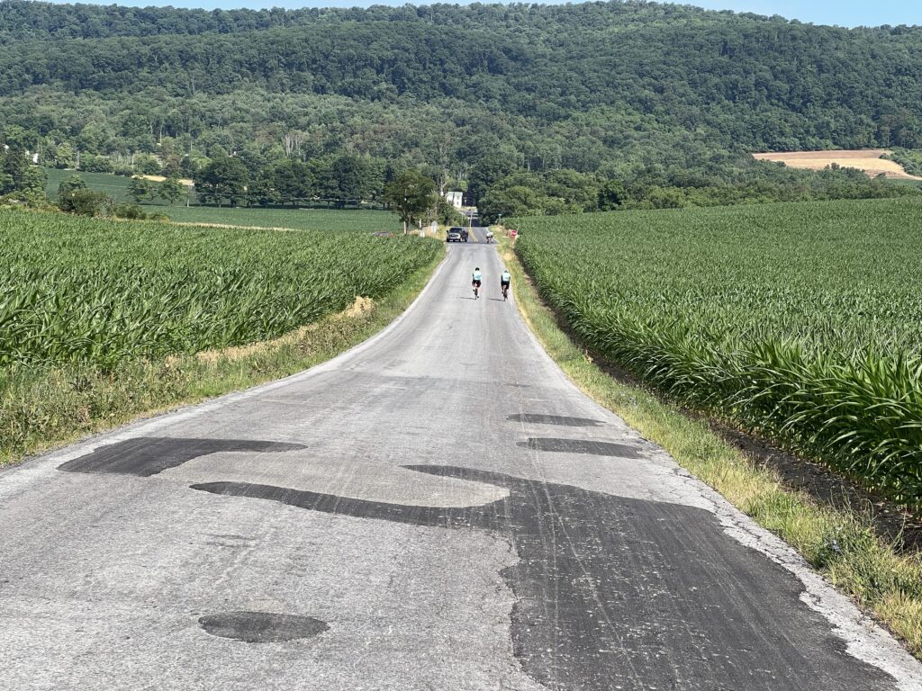
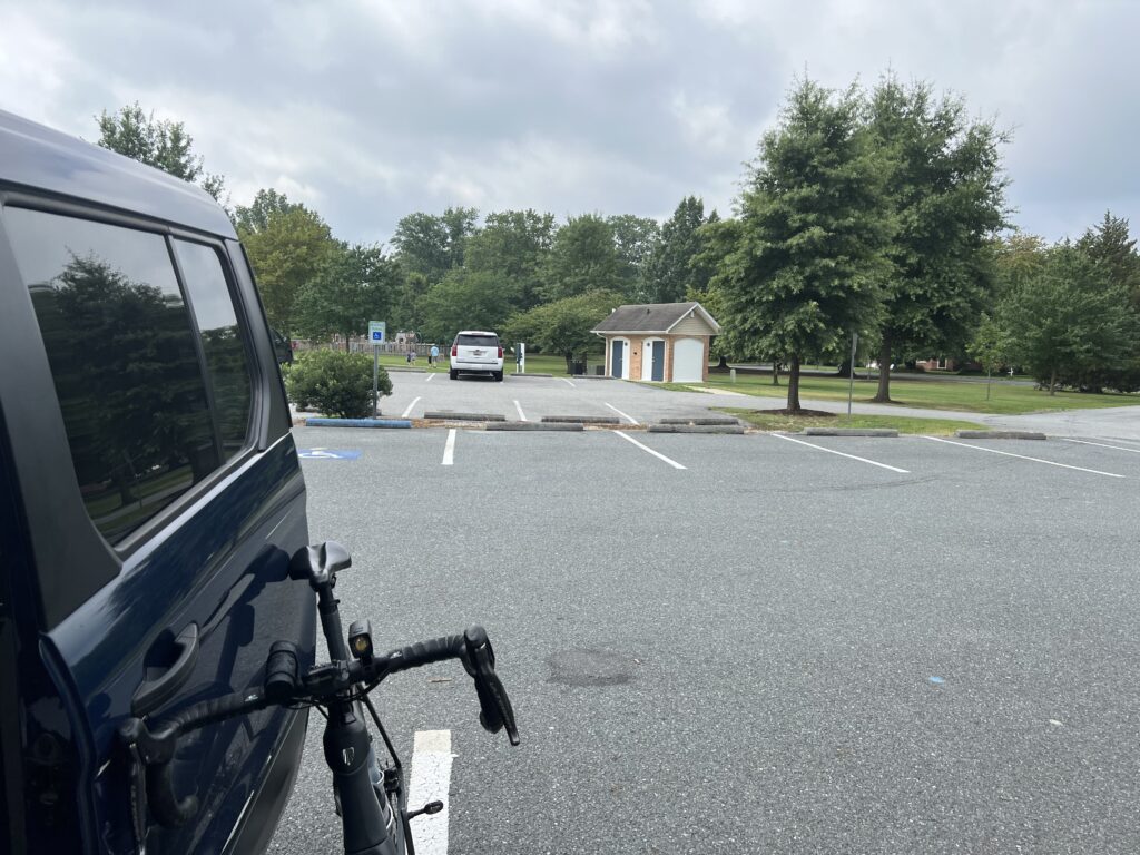
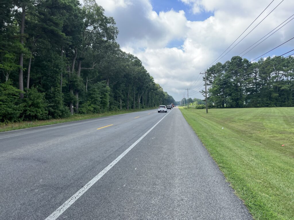
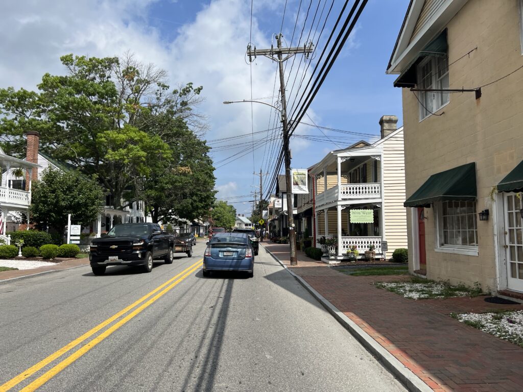
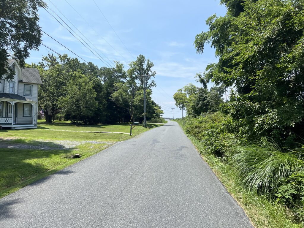
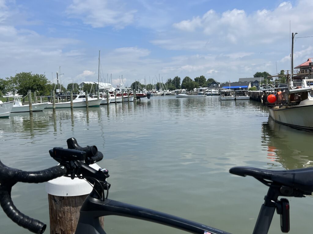
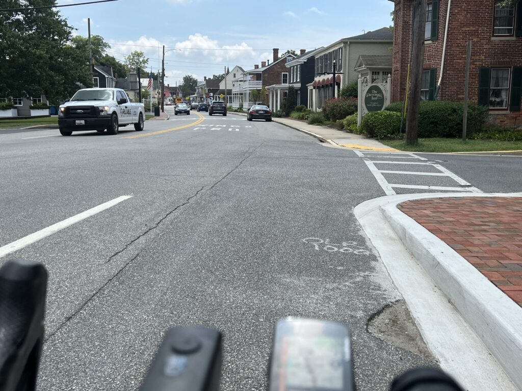
The park is small but with adequate parking and restrooms. For almost all of the 60 miles, I could ride a dedicated shoulder away from the traffic lane. There were just a couple of pinch points before St. Michaels. In the town, I needed to take the lane. It’s a very charming town.

St. Michaels, Maryland

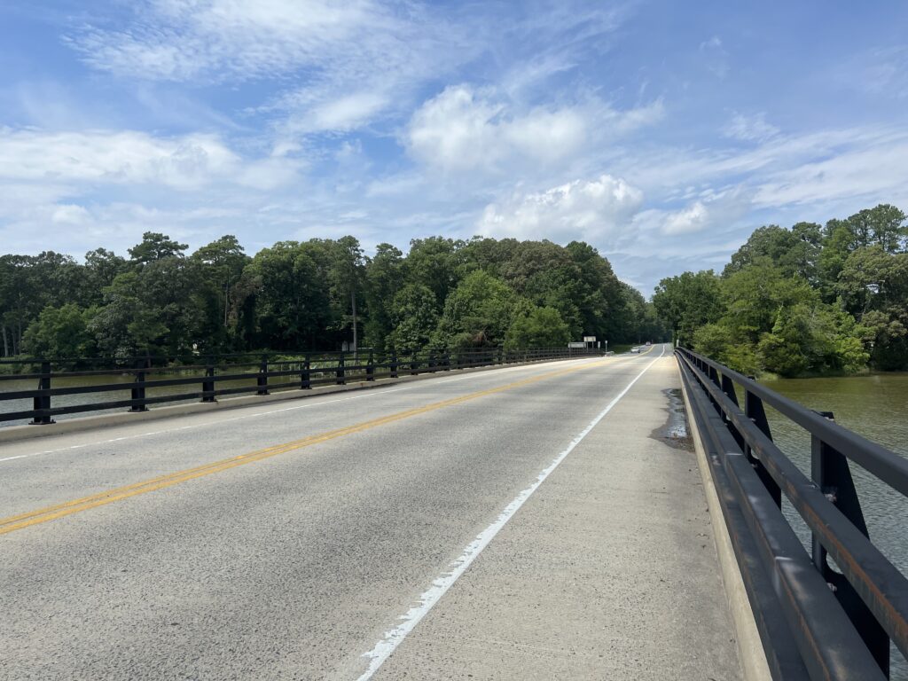
The 11 miles to from St. Michaels to Tilghman Island were on a dedicated shoulder lane until I came to the bridge in town. My GPS was showing “distance to next cue” and I was counting down miles to my turnaround point. So when I hit the bridge I was shocked to see 4.4 miles to the next cue.

Tilghman’s Island

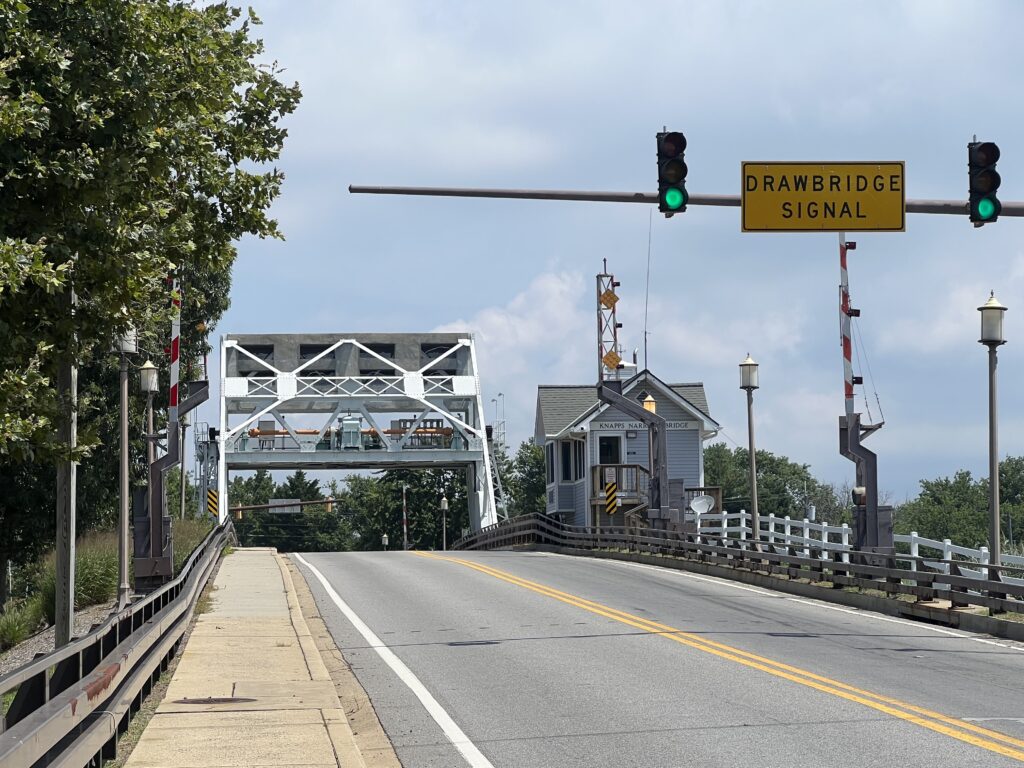
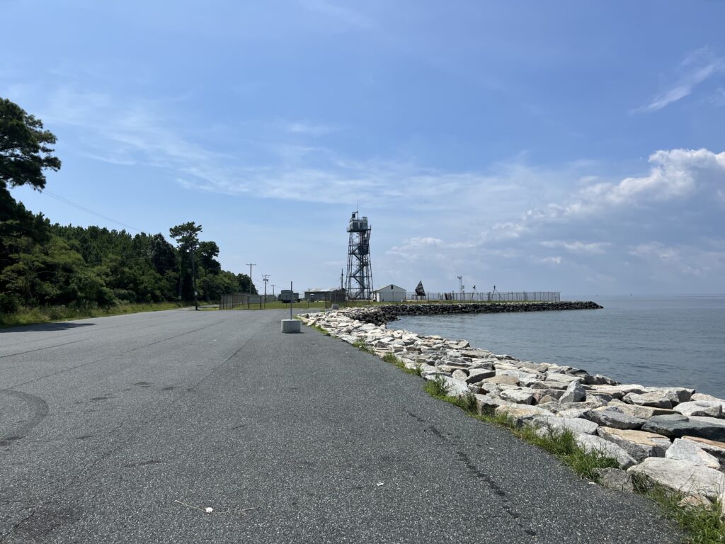
I thought about turning around then but didn’t want to cut my ride short. The road south of Tilghman was a two-lane road with no shoulders. But there was no traffic either. I soon realized the next cue was back at the bridge. It was 2.2 miles to the end or turnaround. Actually, it wasn’t the very end of the island but appeared to be fenced off at that point.

South of Tilghman’s Island

What appeared to be the end of the road opened into what was a parking lot for fishermen.

Sharps Island Light – Tilghman’s Island

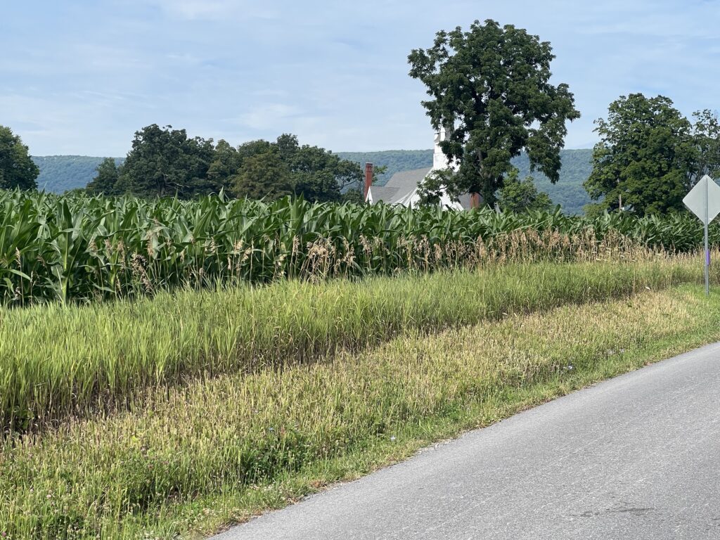
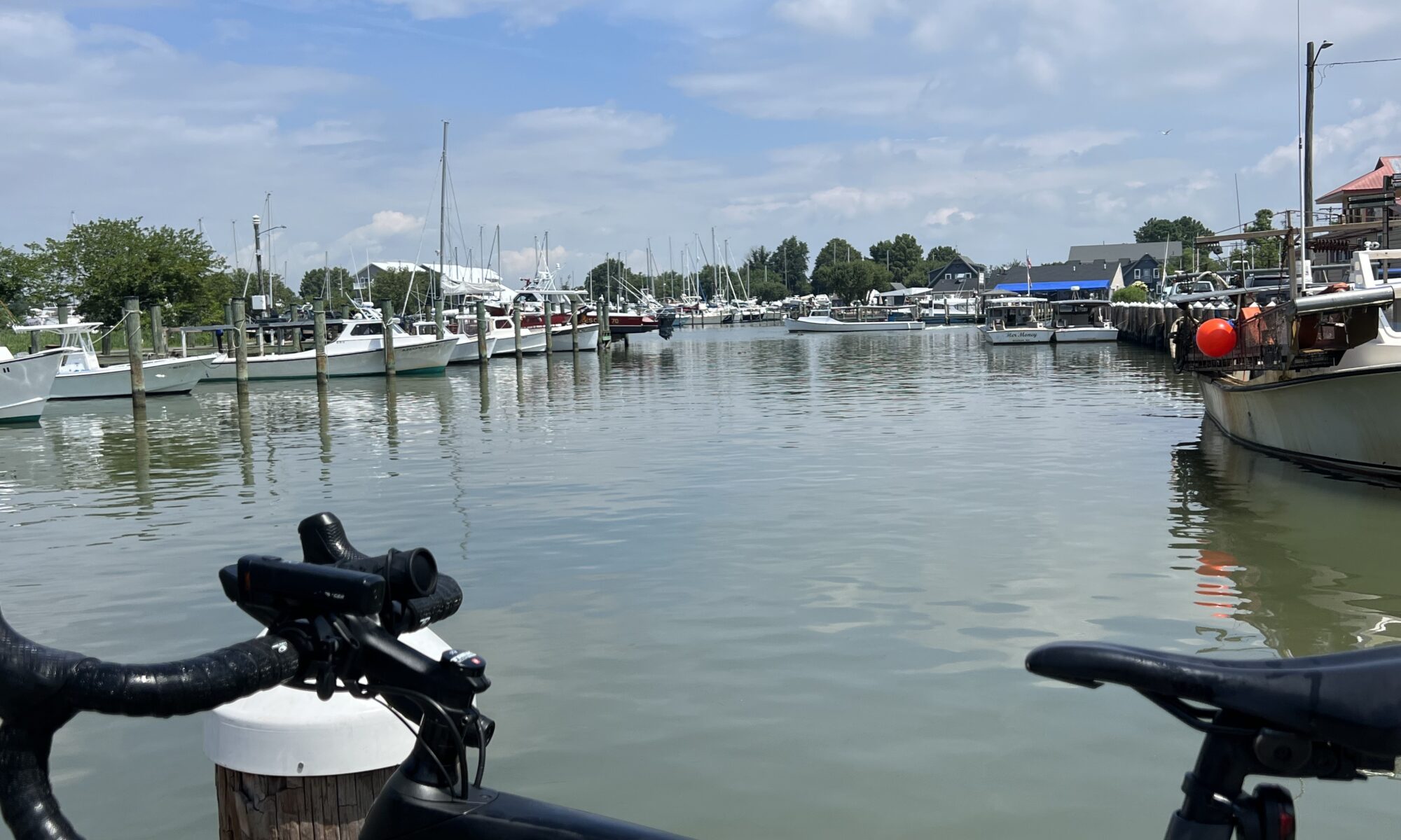
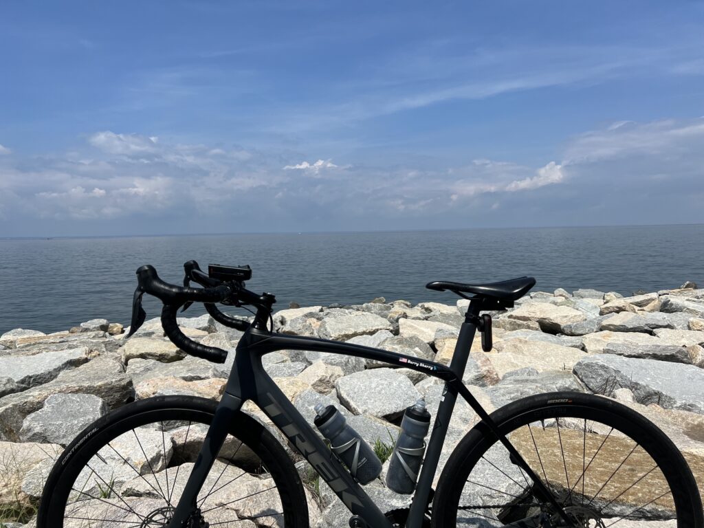
I saw very little water on this ride which was disappointing only because in studying the map it looked like I would have water views for 60 miles. But while never very far away from the bay there was always woods or a cornfield. Lots of cornfields.

Tilghman’s Island, Md.

I turned it around and headed back towards the bridge in Tilghman’s Island before going back to St. Michaels. My decision was whether or not to stop for more water. I brought two bottles with me but still had most of one left. I passed a small country store and then saw a gas station store right by the bridge. I decided I was good until at least Saint Michaels.

Tilghman’s Island, Md.

It was a bit breezy if not windy. I thought I was fighting a headwind on my ride out but when I turned around I still had the wind hitting me. It was probably a cross-tail going out and a cross-head going back.

On the way from Easton to St. Michaels

Once I got back to St. Michaels I thought about stopping for that extra water. The town is very charming but I had to go through it before I found a quick place to stop. It was a car wash/gas station. I got a bottle of water which filled 1.5 bottles. I didn’t think of it at the time but should have grabbed a Snickers bar too.

St. Michaels, Md.

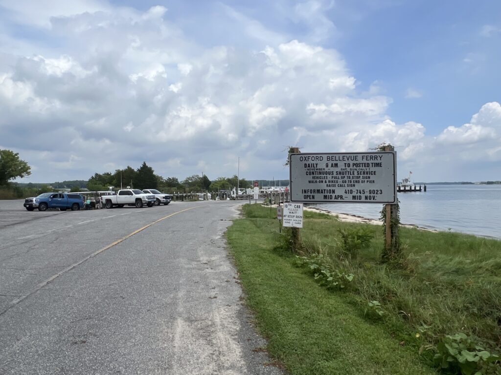
It was about two miles out of town before coming to the turn to the ferry. There was a sign and it was open.

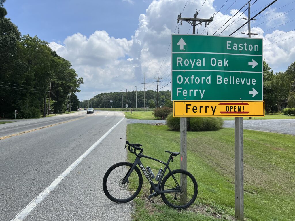
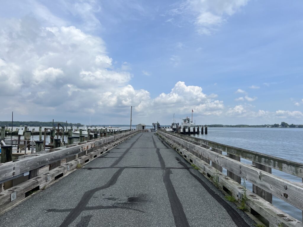
It was about 4.5 miles on a two-lane road to the ferry.

Ferry Road

I had no expectations about the ferry other than it would cost $4. It actually cost $6.

Oxford-Bellevue Ferry

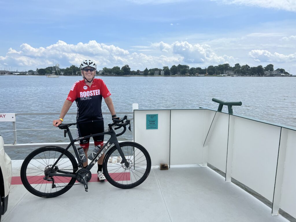
I arrived just as the ferry was ready to leave. There were two cars loaded and I rode my bike right up.

Ferry entrance

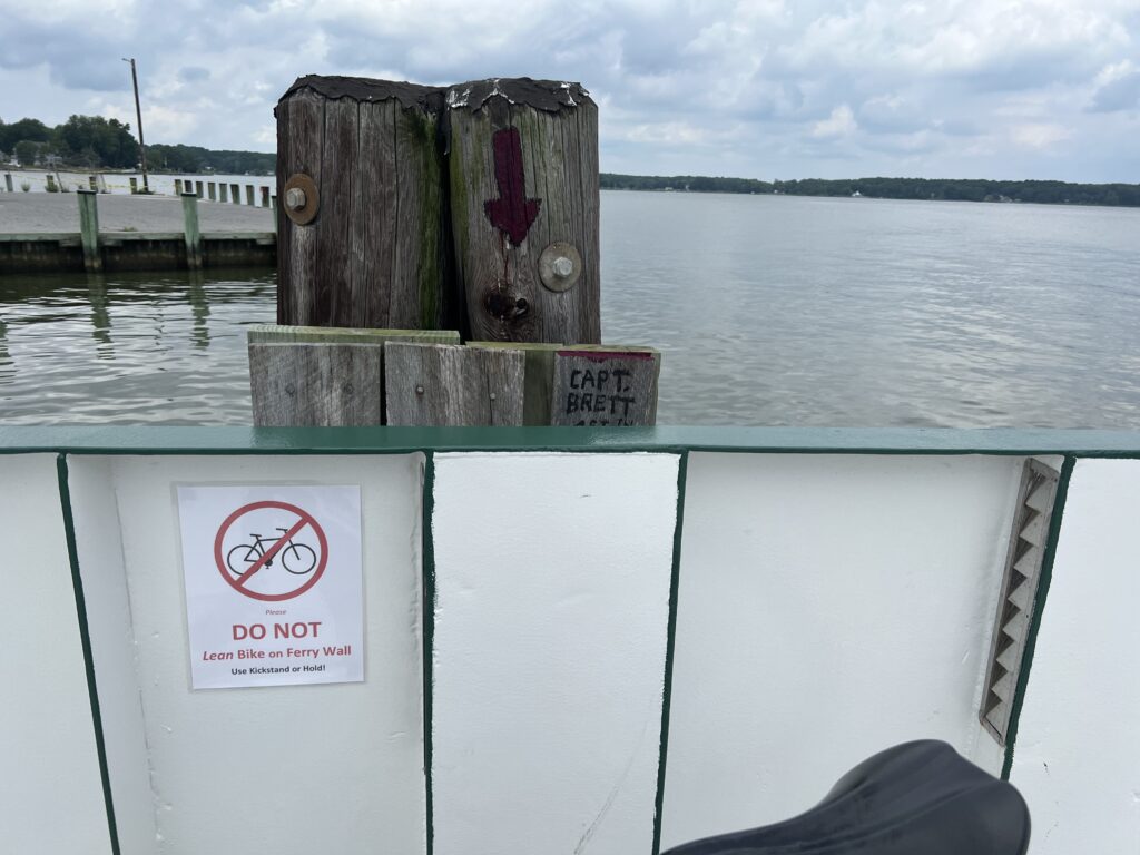
I rolled on taking notice of not to lean my bike against the bulkhead. What’s up with that?

Don’t lean your bike

There were two cars and two families on the boat. The ride probably took 12-15 minutes. Maybe less

I had read about this great creamery. For 50 miles I waited for that ice cream cone. I even told a couple on the ferry about it. When we docked I took off for the creamery forgetting to “resume” my GPS which I had paused to cross the river.

Scottish Highland Creamery

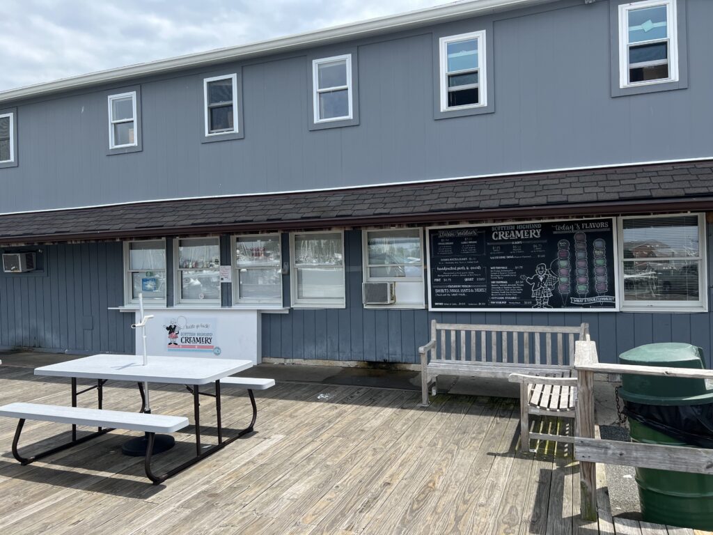
I studied the menu. Two scoops and you could mix them. I settled on Mint Chocolate Chip and then turned the doorknob to enter. It was locked.

Closed Wednesdays

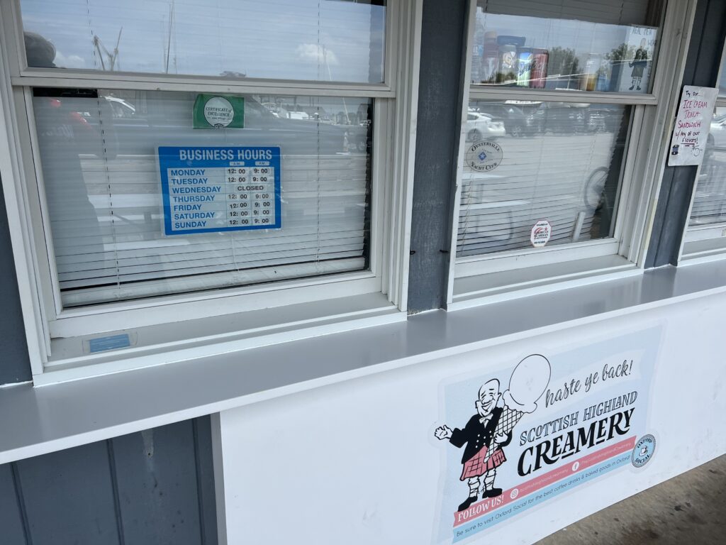
Who closes an ice cream store on Wednesdays? This was so wrong.

Peachblossom Creek

No ice cream would make the nine-mile ride back to Easton a bit harder.


DISTANCE: 60 miles (50.5 via GPS; 0.5 not captured)
SPEED: 17.5 mph (fastest ride of the year)
WEIGHT: 174 pounds

Searching for Aurora Teagarden

MONTOUR FALLS, NEW YORK

The weather forecast for tomorrow for this region is for rain. I would have stayed in State College for the second day of the MS ride but this ride became a bucket list ride. I did not want to let a wet forecast ruin it. I moved my schedule ahead by a day and came here to ride.

Church in Montour Falls

I have never been on US 15 north of Williamsport, Pa. The drive was stunning. Heavily forested mountains. A beautiful lake near Tioga. It would be hard to find prettier scenery on my ride than I did on my drive.

Magnus Ridge Winery above Seneca Lake

I found a ride someone had done in RidewithGPS and downloaded that to my Wahoo head unit on my bike. I would follow his ride. I had a problem envisioning where to park and found an elementary school that I assumed would have plenty of parking. It did.

Montour Falls, NY

I chose Montour Falls because I had read that this was the town where the opening scenes of the Hallmark Channel’s mystery series, Aurora Teagarden, were shot. The actual shooting was in British Columbia but the opening scene or main street was here. It features a quaint downtown with a massive waterfall at the end of town.

Montour Falls, NY

I had visions of finding the town and the waterfall. I had no visions of finding Candace Cameron-Bure, the actress who plays Aurora Teagarden.

The falls at Montour Falls

I only went a couple of blocks and there I was. Standing in front of a rock formation on a hillside. This was no waterfall. In fact, there was no water. Actually, once I looked close I could see a trickle. But it was as though someone turned off the falls. This was very disappointing. The only thing that would have been more disappointing was if I had saved this for the end of my ride and for 48 miles I was looking forward to seeing it. At least this way I got the disappointment out of the way quickly.

A trickle falls at Montour Falls, NY

And now for the ride. Quaint downtown. I left Montour Falls via NY 14 which has a wide shoulder to ride safely. It’s about a three-mile flat ride to and through Watkins Glen. This is the tourist area of the region whereas Montour Falls has very little. At the end of the main drag, I came to the south end of Seneca Lake. The ride description was 20 miles of easy climbing followed by 20 miles downhill.

Dino in Watkins Glen. My brother, Brad, always liked Sinclair.

Actually, it was 1.5 miles of 3-4% grade leaving Watkins Glen to a plateau along the lake for five miles. Then it was turn to the west and gentle climbing for the next eight miles. The roads were mostly back roads with little to no traffic but there were “heavy” roads – tar and chip variety which makes pedaling harder.

Seneca Lake in Watkins Glen, NY

Once the road started downhill so did the headwinds. I knew it would be that way because I enjoyed a nice tailwind leaving Watkins Glen. I was paying for it now. The traffic was mostly respectful but on one road it seemed every vehicle was a truck pulling a wide trailer with a race car on it. On a Sunday morning. Near Watkins Glen. Who knew?

Going under Catharine Trail on NY-14. The trail is a crushed limestone rail trail.

The return back was on NY-14 again. And except for a couple of places getting squeezed, there was a should to ride safely. I changed my return to me directly to the car instead of the end of the route which would take me to the non-existent falls. I would have been so disappointed. But it was OK. It was a beautiful ride. Maybe next time there will be water in those falls.

Out in the country

The End of Glimcher

STATE COLLEGE, PENNSYLVANIA

The best rides aren’t so much where you’re at but who you’re with. And since 95% of my riding is solo I can classify the best solo rides are:

  • Point to point
  • Loop
  • Out and back
Start of the MS Ride in State College

I’ve been riding the Keystone MS-150 Ride, more recently called the Glimcher Ride, since 2016 when it was basically two point-to-point days. The first day was Hollidaysburg to State College while the second day was State College to Hollidaysburg. The roads from Spruce Creek in and out of State College were the same but two completely different routes in and out of Hollidaysburg to and from Spruce Creek.

Famous Cookie Stop – Rest Stop 1 and 5

But this year it was in State College and it was a loop route each day. It’s not fun and too far for this traveler. I was willing to travel to Altoona from Virginia but this was too much. I had signed up for the event before I realized it was no longer starting in Hollidaysburg.

The famous tractor just outside of State College

Lodging and the headquarters were at the Penn Stater. I registered after the special MS rate expired (rate good until …) and was priced out of staying in State College. I chose to stay with my mother in Somerset the night before which is 1:45 away.

Rest stop 1. Corn.

The alarm went off at 4:40 a.m. No snooze. I was gone by 4:50 and stopped at Sheetz for ice for my cooler and a breakfast sandwich. I arrived at the Penn Stater at 6:45 a.m. for the start of the ride.

Camp Kanesatake

I dressed in the car and got my bike ready to roll before I went to registration. At 6:55 a.m. I was putting on my “race” number. I went to the back of riders waiting at the start thankful they didn’t roll out at 7:00 a.m. At 7:08 we all rolled. I was on time.

Amish house near Arch Springs. Notice the horses.

There were five rest stops and this captured my ride to each. On the rollout, we came to a red light with cars waiting to enter the intersection. I stopped. Two riders from Blair Bicycle Club blew threw it. It was a bad look and unsafe. I yelled, “it’s a ride, not a race.“

Beaver Stadium. Passed this out and back on the ride.

Once I got the green light I quickly caught them and a number of others. I’m sure the front group was long gone but I picked my way through a number of riders before finding four riders wearing Quality of Life jerseys from Mechanicsburg, Pa. I didn’t join them but followed at 20-30 yards behind. 

Arch Springs

I wasn’t long at rest #1 which was the church with the famous cookie stop. Still cookies. I took one Snickerdoodle. I left rest #1 and found myself in cyclists’ “no man’s land.” I could see no one in front or no one behind me. I actually liked that. A lot.

John Deere.

I passed a John Deere tractor and regretted not stopping for a photo. After a descent and the turn to Camp Kanesatake, I turned around and went back up the hill. I got my photo and saw some riders pass. I didn’t try to join them but still passed 2-3 before the stop at Camp Kanestake. 

St. John Evangelical Church

This church camp had been the Saturday lunch from Hollidaysburg to State College coming at Mile 50. And the ice cream and Dairy Princess stop on Sunday. But today it was just a snack stop. I didn’t stay long. 

The guys in green

Again in no man’s land, I was gaining on a rider in Spruce Creek. And then a funny thing happened. At the end of Spruce Creek, he went straight which was the route we always took on Day 2 back to Hollidaysburg.  But I had downloaded the route from the MS-150 website and it had me turning left, under the railroad tracks then climbing the two-mile hill. I was alone. Again. 

I suspect they made a late change to the official route. This was one intersection that needed a volunteer to show people like me the correct way. But it’s OK. I enjoyed my solo ride. It added 2.5 miles to the ride.

Rest stop 3 was a lunch stop at St. John’s Evangelical Church. I overheard a couple of riders describing when and where they “burned matches.”  Oh please. They’re not pros doing a non-stop 3-week effort. But they can dream, I guess.

Lunch

Leaving rest #3 I caught the four green riders. I didn’t join them but simply followed at a distance and paced behind them. And then a group caught and passed us. This group could have been Team Fat Belly including a couple on touring bikes with bar end shifters. But they were moving as they passed out. We formed a large group for about one mile then came to a hill. And that was the end of Team Fat Belly. I was nose breathing but passed all on a climb. Three of the four from Team Green went ahead and I simply followed at 50 yards. 

Green guys

Rest 4 seemed to be for the 50 and 75 routes. Rest stops 2 and 3 were just on course for the 75-mile riders. I stopped, briefly. And it would be a solo ride home from there. 

Rest stop

I caught a rider before Rest 5 which was also the cookie stop for Rest 1. After a quick water bottle refill and then it was solo back to start. A moto caught me to tell me there was one hill left (which I knew). But he was a nice guy giving encouragement, I guess. I passed a young guy walking his bike up the last hill and passed 5-6 others as well.

Finish line at State College

I finished then took off my jersey to go under the empty finishing arch again, this time holding the bib that “I rode for my daughter.” I took off the bib and discovered I spelled “daughter” wrong. That’s what happens at 6:50 am. 

At the finish, there was no food or meal. They told us there were snacks next door which were veggies and Fritos. There was no banquet this year. It was so good in 2019 when Diane Kramer and two other women spoke. Back in 2019, I had asked at our table of ten what each person’s connection to MS was. No one had one other that this was a nice ride. That dinner brought home the message. Today there was nothing. On the ride, not a single person asked me about riding for my daughter. It didn’t seem to be an MS ride. It was just another ride.

Swag

So in the end, I asked for the swag. Although it was to be handed out tomorrow (t-shirt and plastic “medal,” I told the nice volunteer that I was only riding today. I did not tell her it would be my last day for this ride but it was. For me, it’s too far. Too expensive. Boring loop routes (been there done that). Registration seemed way down (124) and I’m guessing many Pittsburgh riders that came to Altoona found State College too far. 

I could have asked someone to take this

Next up will be an MS ride, just not this one. Maybe Florida. Maybe Virginia or Maryland. Or maybe even the Escape to the Lake. I support the fight against MS but I’m not leaving this event. It left me. 


DISTANCE: 78.8 miles
SPEED: 16.5 mph
WEIGHT: 175 lbs


While it was an MS Ride, something HUGE happened on the ride. I went over 90,000 miles ridden cancer-free. Since 2010. Thankful for every day of LIFE!

Verified by MonsterInsights