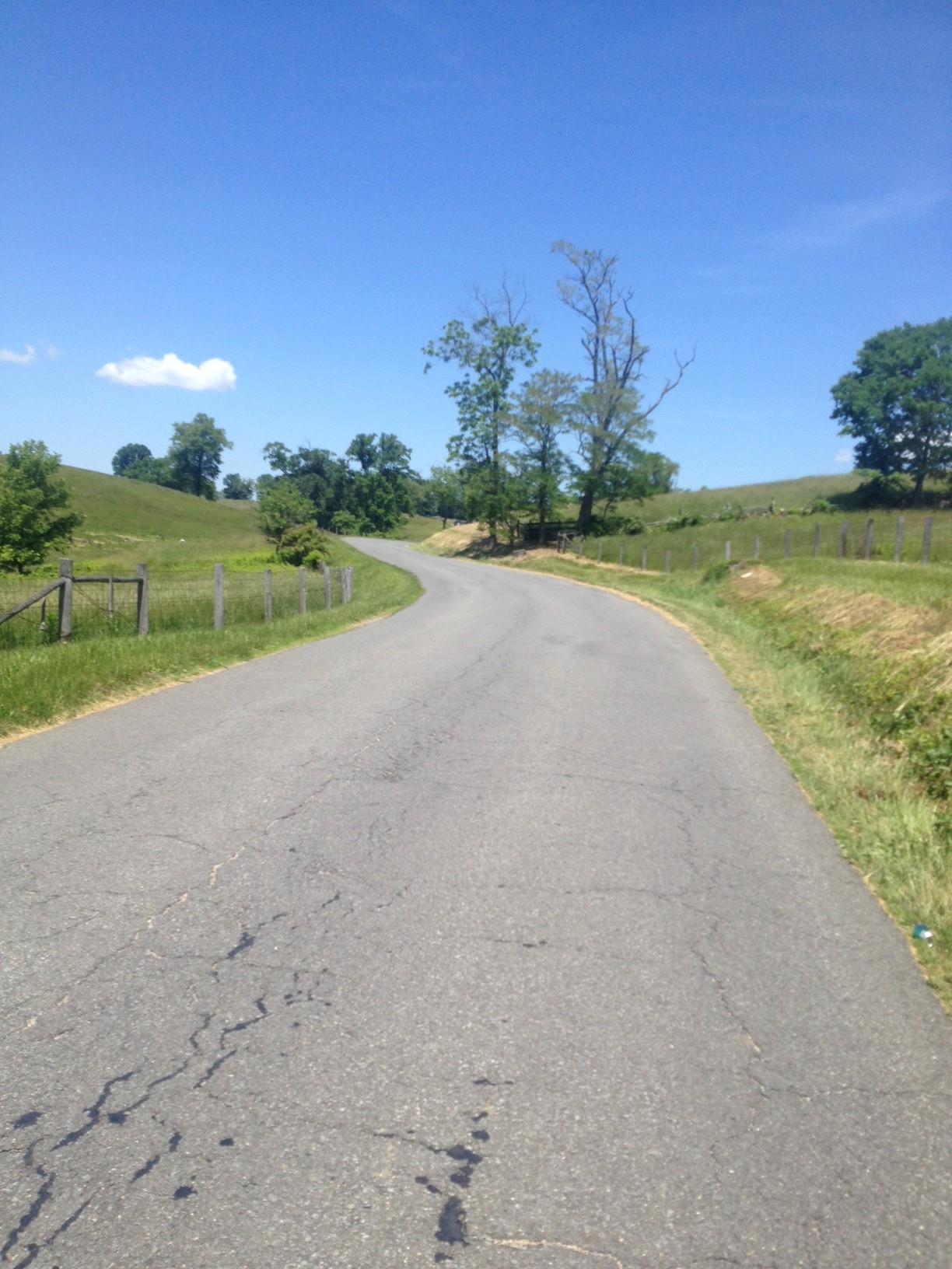
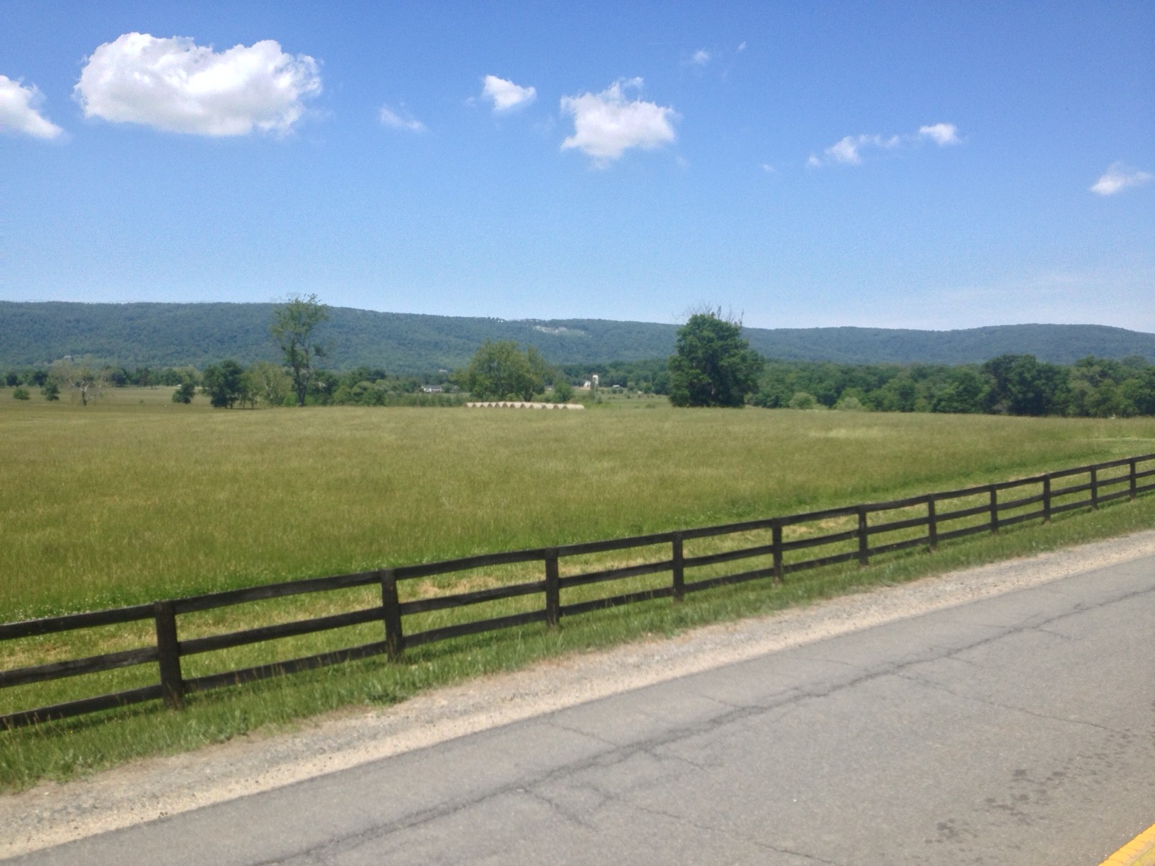
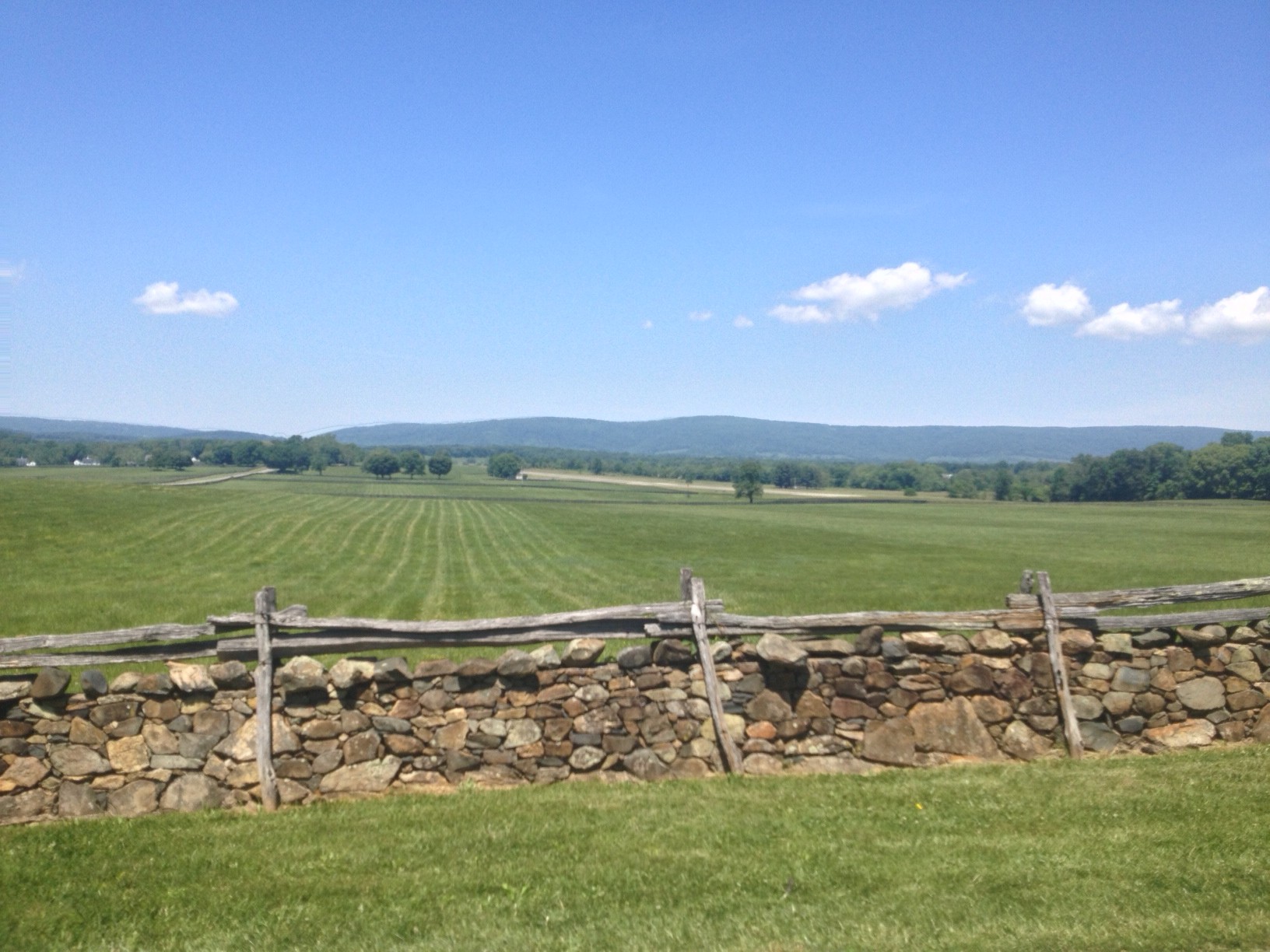
MARSHALL, VIRGINIA
Four hours later and my legs are like Jell-O. Or feel like crap. Take your pick. The last time they felt this way after a ride was 11 months ago on the climb to San Pellegrino (Italy). And this was no San Pellegrino.
Looking back, which I’m good at doing, the signs were all there. My breakfast consisted of a handful of grapes and one banana. I carried no food nor money with me. I had two water bottles on the bike.
The ride started out OK. I was late, very late, to the Park & Ride lot in Marshall. Most cyclists who do this ride start out early in the morning and it was almost noon. One rider was ready to go and I thought he might come over and ask me where I was going. He did not.
One underway I turned on Rectortown Road and headed north. In no time I caught the rider. I asked him where he was headed and he said he had no idea. I asked him if he wanted to do the Blue Ridger with me and he pretty emphatically said no way. I passed him never to see him again.

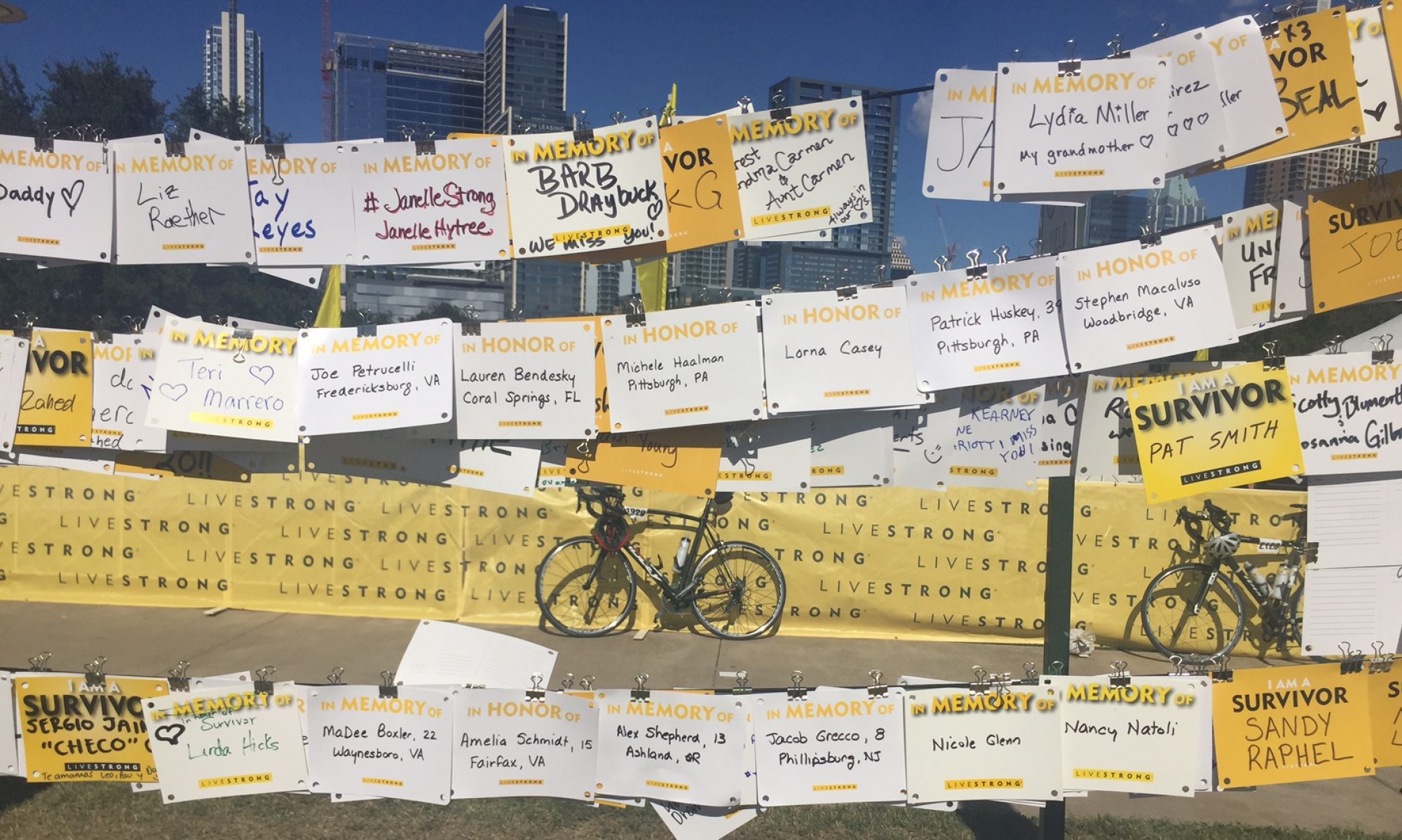
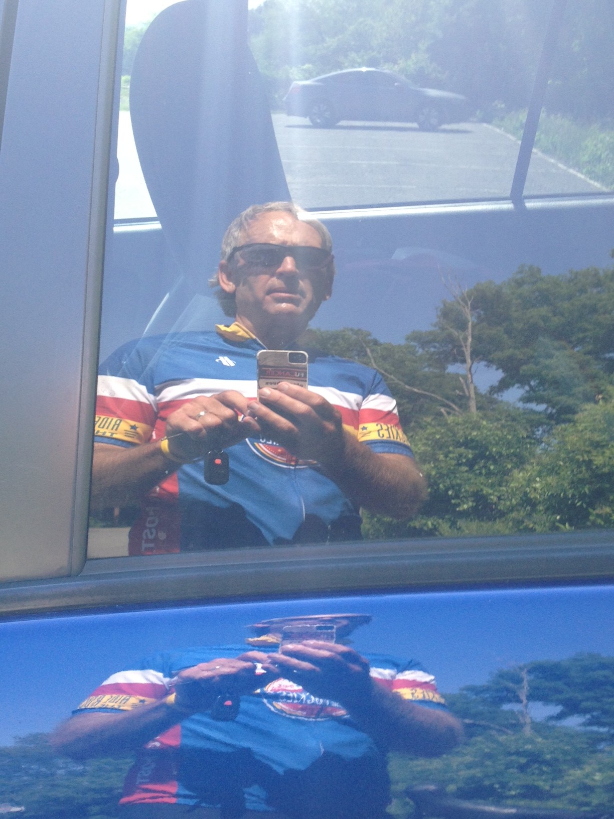
Although I have said my Altoona ride in 2010 was my first post-cancer ride, in truth I had come out here a couple of weeks before the Altoona ride, to see if I was ready. So this was my first post-cancer ride five years ago. As I rode I thought about my cancer diagnosis and treatment and where my journey has taken me.
I didn’t have a goal for the day. Finish. Not stop. Yes, that’s right. Don’t even put a foot down. Don’t ask why. That’s not the smartest goal.
In Bluemont I passed the Bluemont Country Store and started the climb up the north face of Mount Weather. It was not easy. I rode my Trek Domane which is not geared as low as the Trek Pilot.

This was my first climb of the year. I struggled. The first section is out of Bluemont to a switch back where one can recover before climbing the final stretch on Rte 7. The climb on Rte 7 was easy. It is graded for cars to cross the mountain and its 6% grade was a recovery section. But then I turned on Blue Ridge Mountain Road and it had sustained sections of 12-14%. As I was climbing I met two hikers come down.
“How are you,” they asked.
“Tired.”
I asked them how they were and they said they were tired too. But they were going down, I was still climbing.
The top of Mount Weather, well, there is no top. The road goes up and down, always teasing the rider into thinking the descent is finally here and then another climb is in the way.
One passes a secret government facility (think X-Files, if you’re old enough) which is now run by FEMA. But for six miles, what seems to be the top of the climb is a series or rollers. Serious rollers.
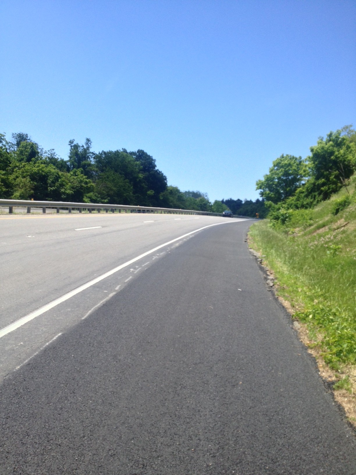
I did reach the top and began my descent. I turned on US 50 and hugged the white line on this busy four lane road. Thankfully, the road from Clarks Gap to Paris is zoned for 45 mph and is downhill so I was able to maintain close to that (my high speed was 44.45).
On this day I felt good until the climb. I knew it took a lot out of me. It felt good to sweat on the bike and I sweated a lot. But now was payback time.
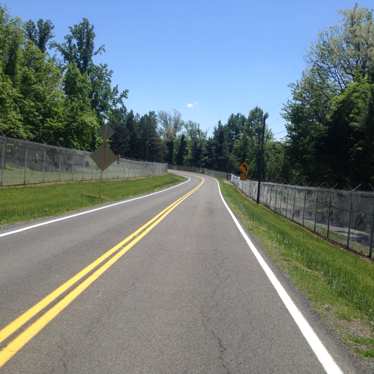
I rolled through Paris (Va.) and came to US 17. Riding on US 17 through Crooked Valley wasn’t bad. There was a small shoulder easy enough to ride. Then I turned on Leeds Manor Road and the pavement was terrible. Uneven. Rough. Lots of holes.
A description of this route is counterclockwise is the hard way up Mount Weather and the easy way up Naked Mountain. My only hope, and what I clung to, was I at least had the easy climb on Naked Mountain.
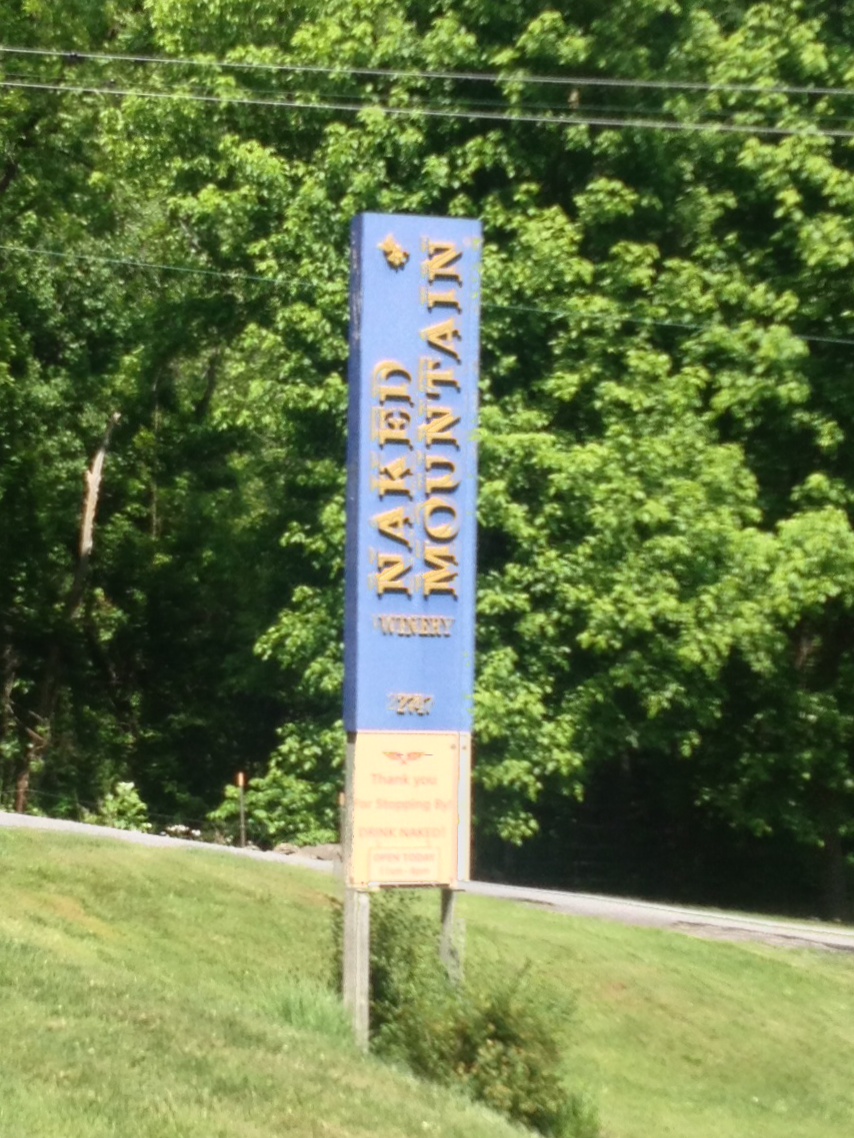
It wasn’t easy. It was hard. Damn hard. And I had two or three sweat bees constantly land on me as I tried to swat them off.
I summited the climb then began the descent off Naked Mountain on a real rough road. I felt better when I reached James Madison Highway (aka Rte 55) since the pavement was great. But I was going into a headwind.
I suffered the last 10 miles and knew I wasn’t going well. Only later would I discover that that was my worst time ever ride the loop. It was my worst time up Naked Mountain, but astonishingly enough, I had my best time on the climb up Mount Weather. Perhaps pushing a higher gear than I have in the past improved my time at the expense of zapping my energy.