Sea Gull Century – The Dry Roads Edition

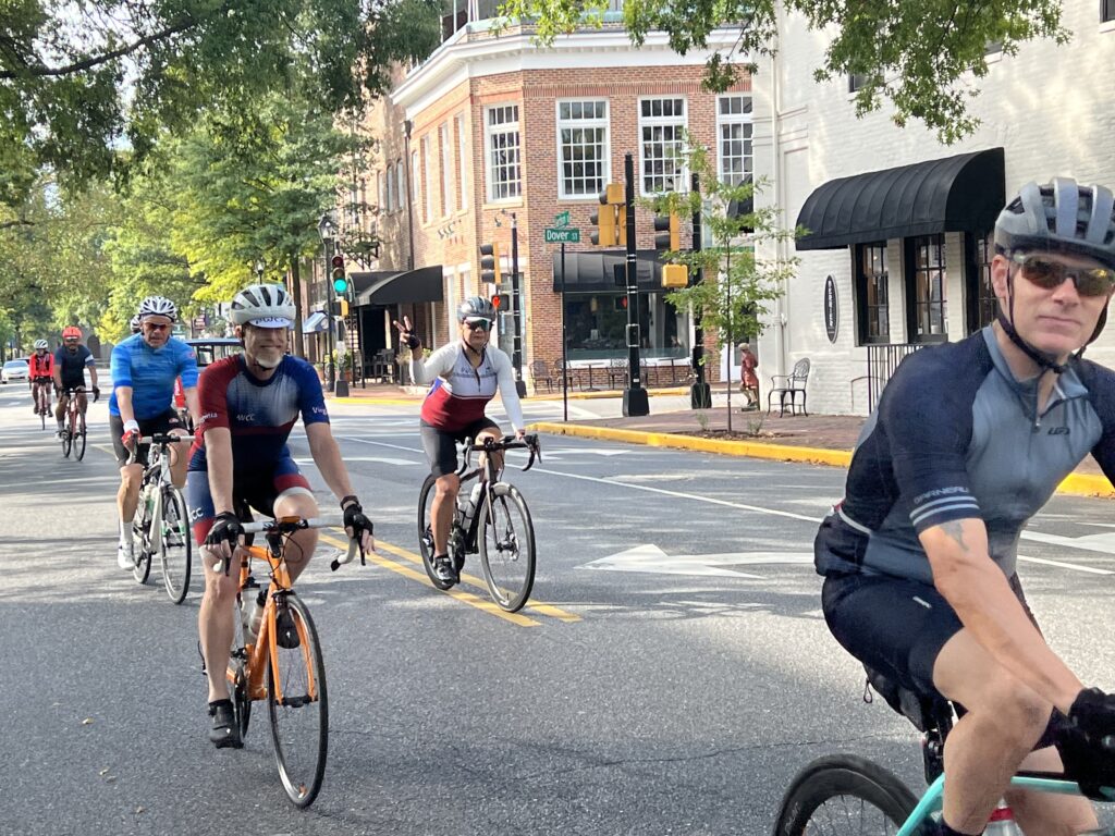
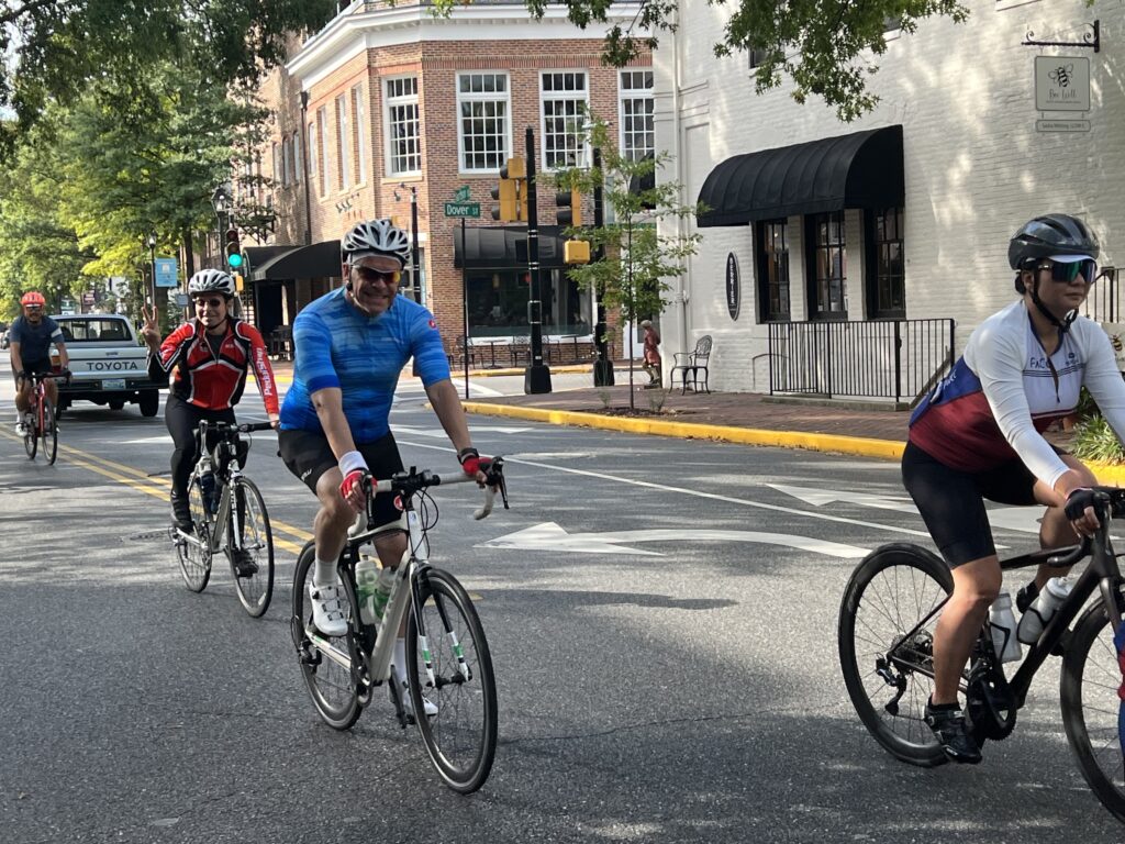
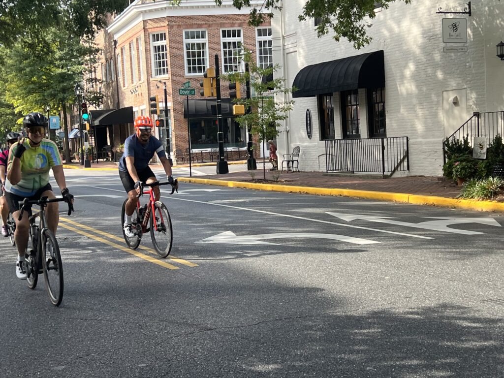
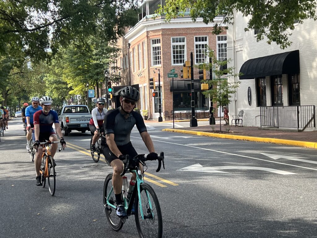
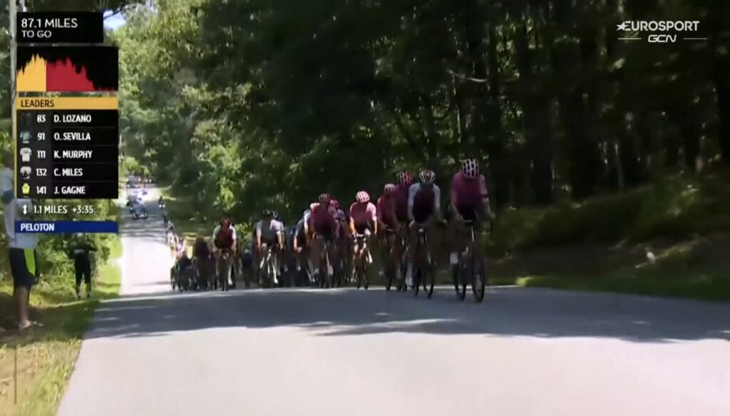
IMMEDIATE REACTION – While it should never be about speed this ride tends to be about speed. I have never failed to do this in less than six hours (16.7 mph) until today. In most rides, I can jump in with other riders for a while but today was a solo ride. Yet in 2020 when this event was canceled due to a cold with a scary-sounding name, I still averaged 18 mph solo. I didn’t have the energy and should have stopped at the cafe at the entrance to Assateague Island. It was a Bonk.
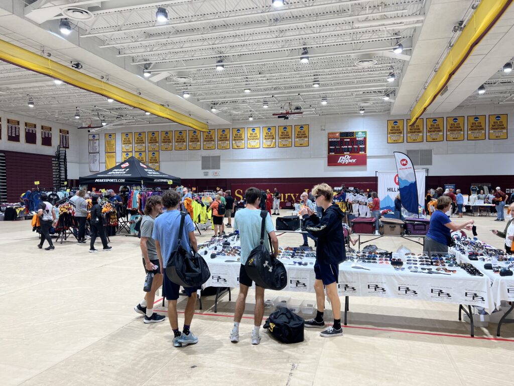

SALISBURY, MARYLAND

The forecast for Saturday looked grim. Showers in the morning with steady rain in the afternoon. Half an inch of rain. Mid 60s.

Parking at the Hampton Inn, Fruitland, Md.

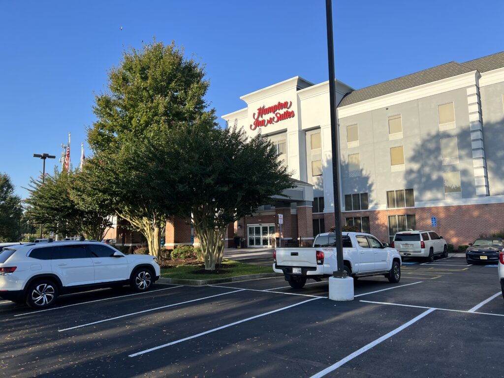
I watched the forecast all week and decided on Wednesday to cancel my two-night stay in Ocean City for Friday-Saturday and booked one night for Thursday at the Hampton Inn-Fruitland (Salisbury). I would do my own Sea Gull Century on Friday and take advantage of the nice weather.

Hampton Inn and Suites, Fruitland, Md.

I have ridden in the rain a lot. If the temperature’s warm enough and you are with friends then it might be okay. But I wasn’t planning to ride with anyone at the SGC. I have ridden this event enough that I knew or thought I knew every turn. I didn’t need to ride this in the rain.

Seatick Rd

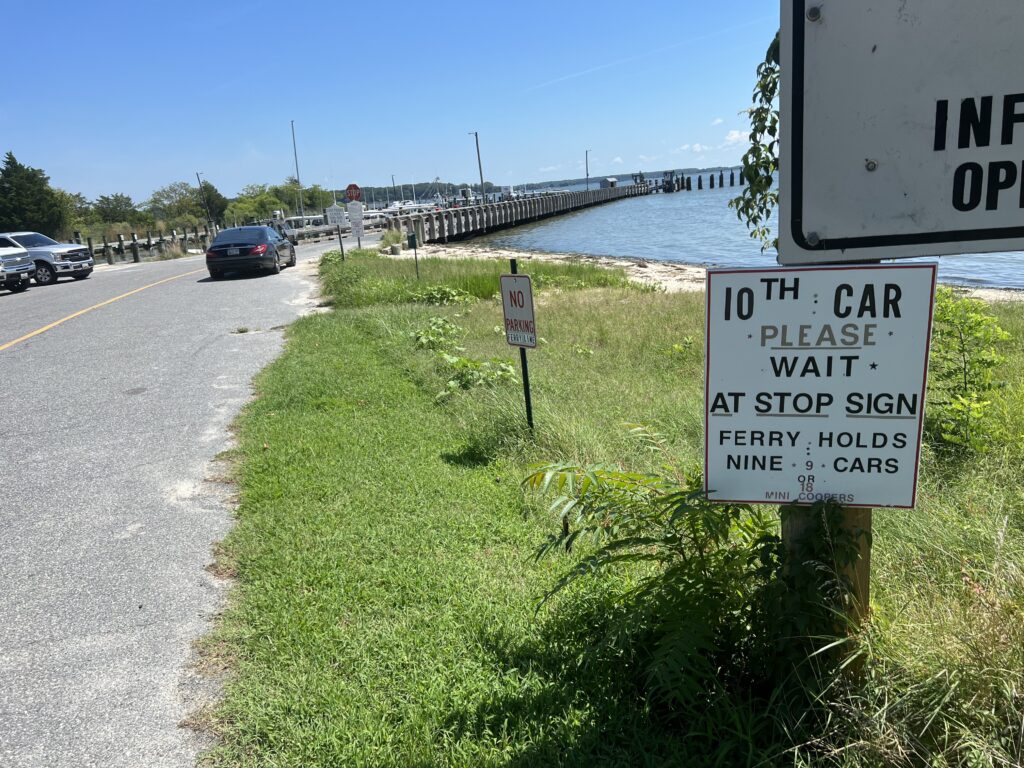
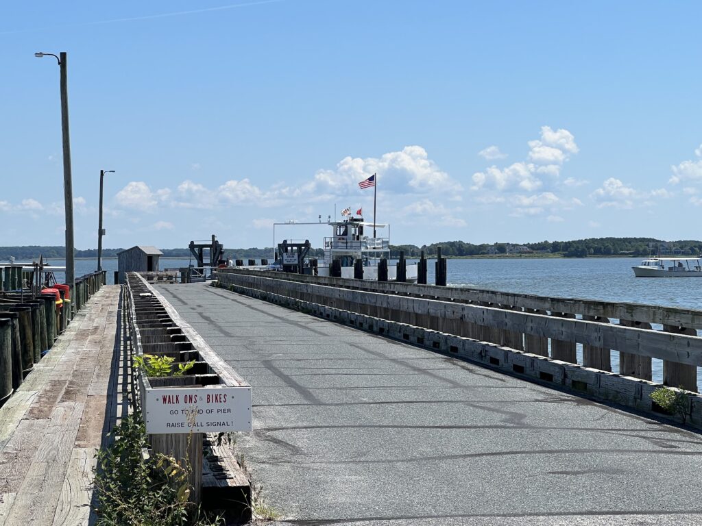
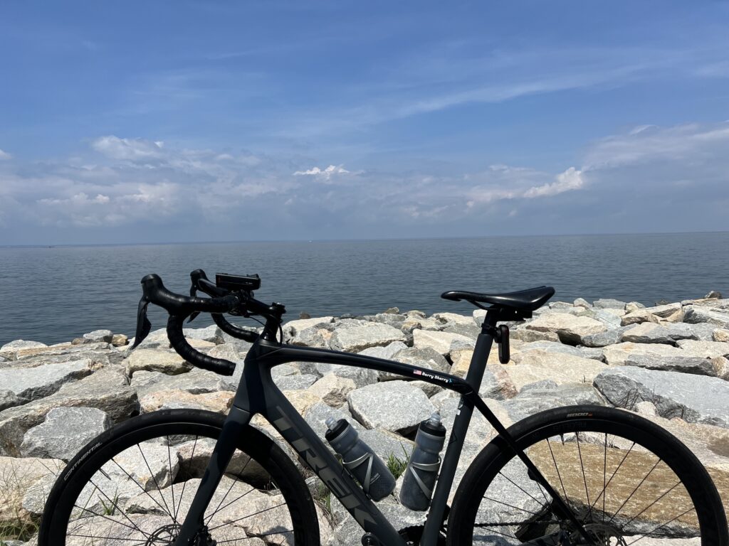
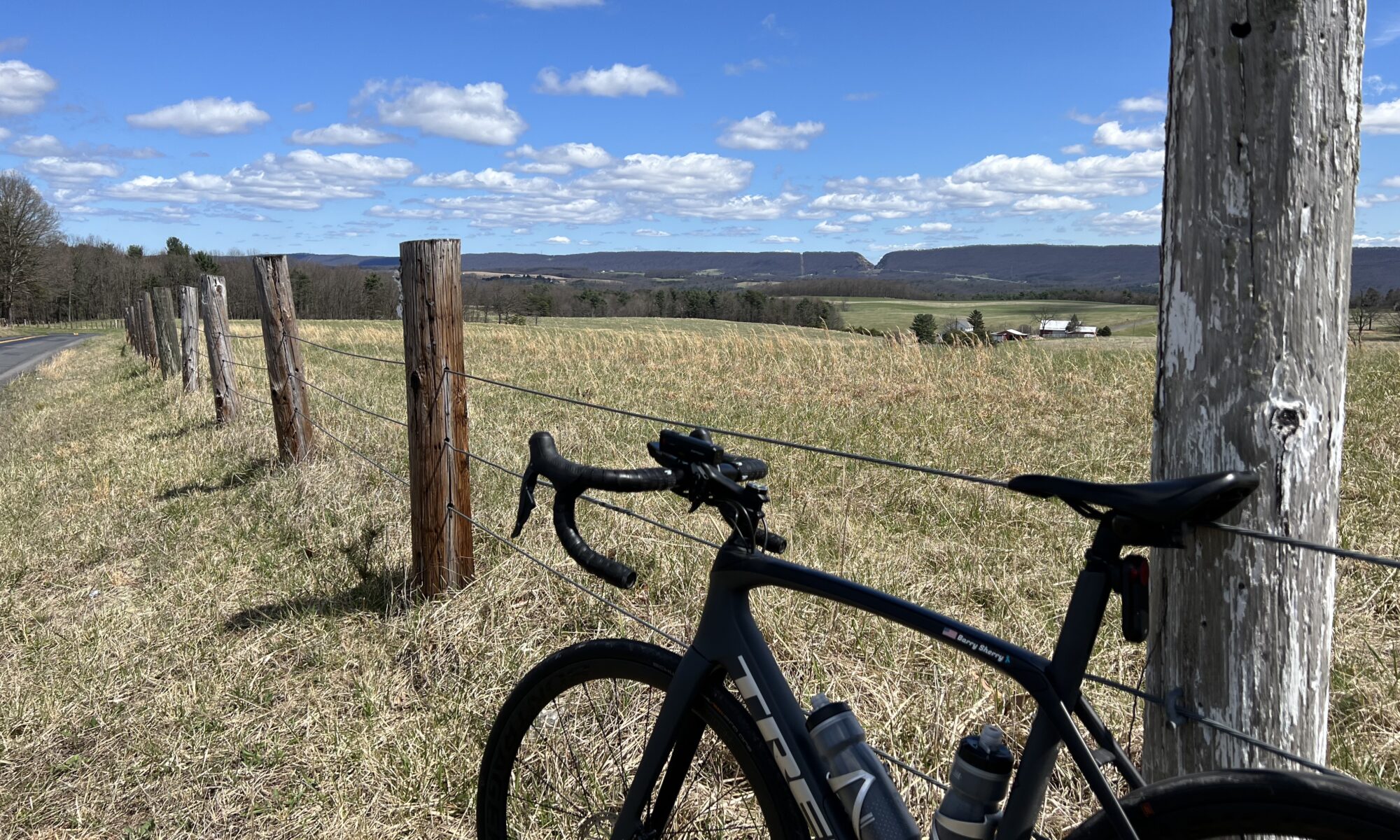
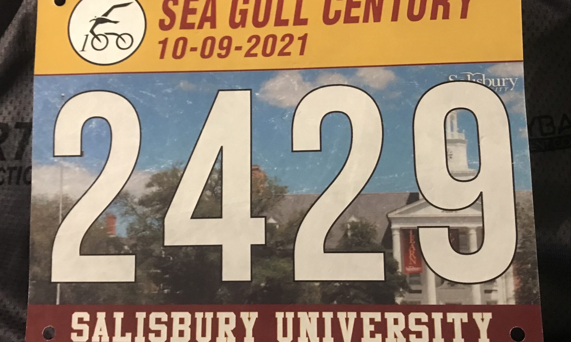
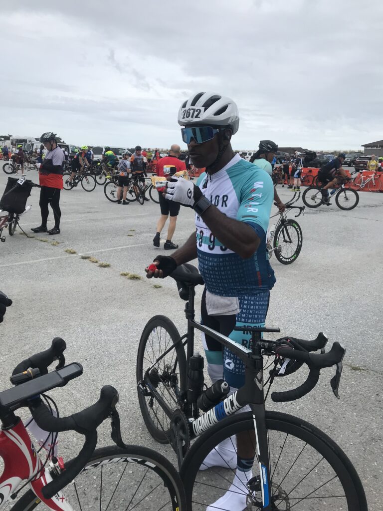
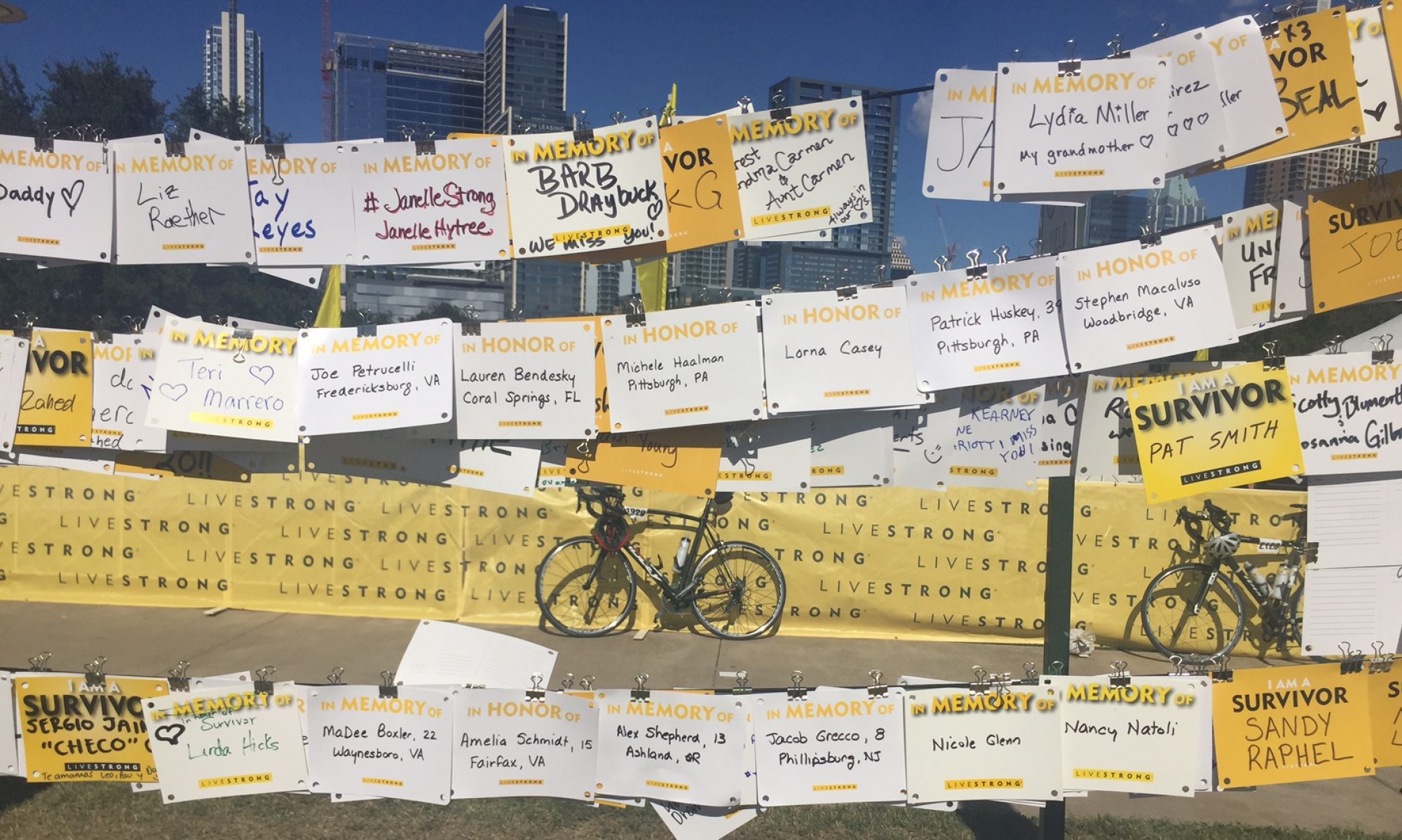
It is a rain or shine event along with a no refund policy. I had paid my $100 and really wanted to ride this 100-mile course. Fresh off some personal records for speed in Corolla, North Carolina, I was in my peak end-of-season fitness. And I wanted the ferry.

The new Scottish Highland Creamery, Oxford, Md.

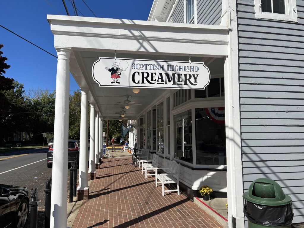
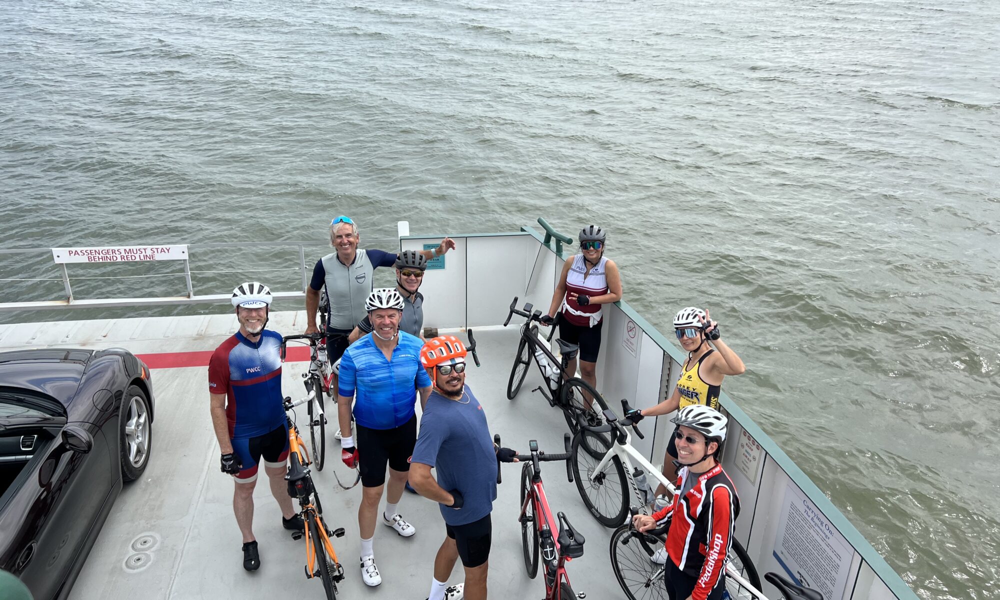
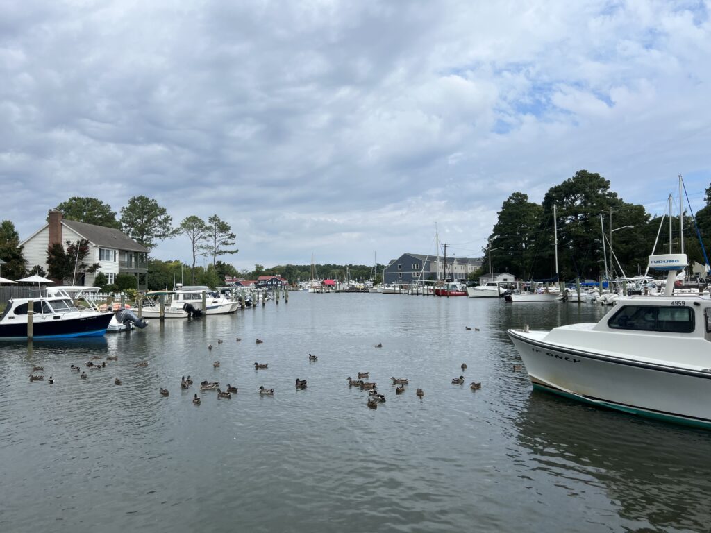
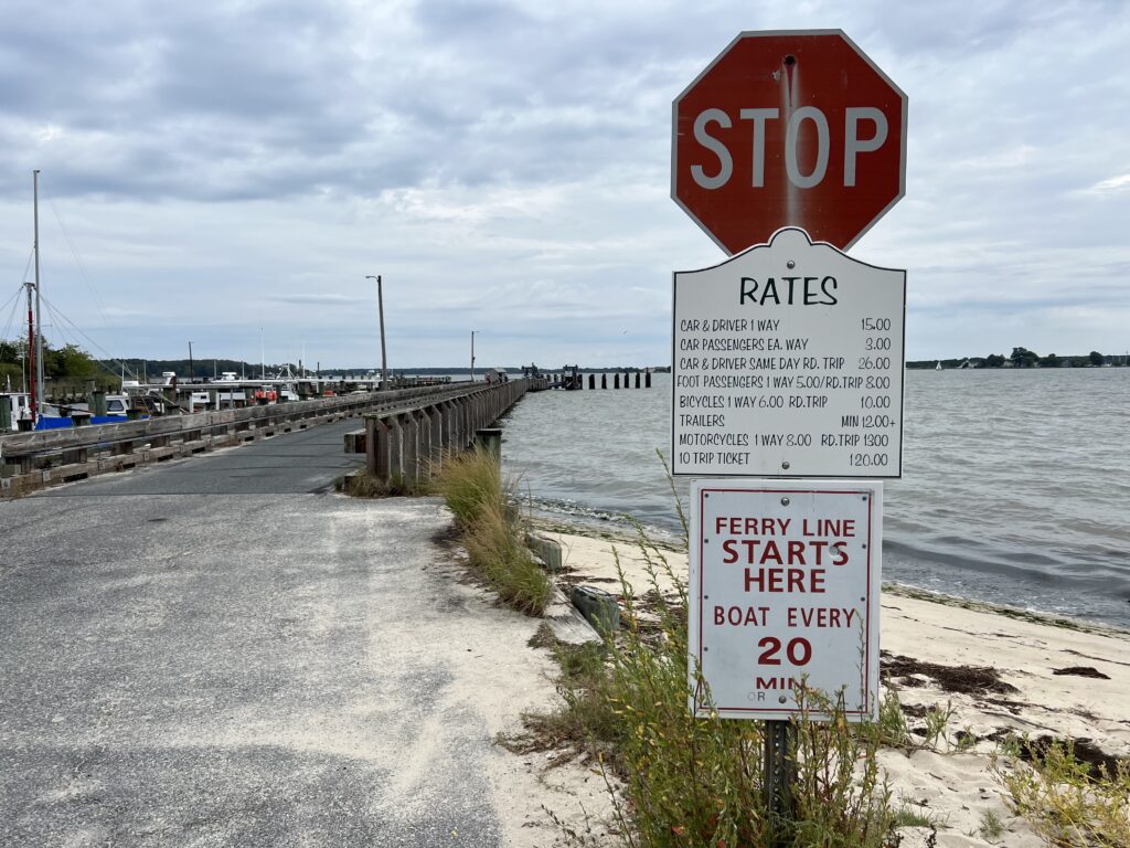
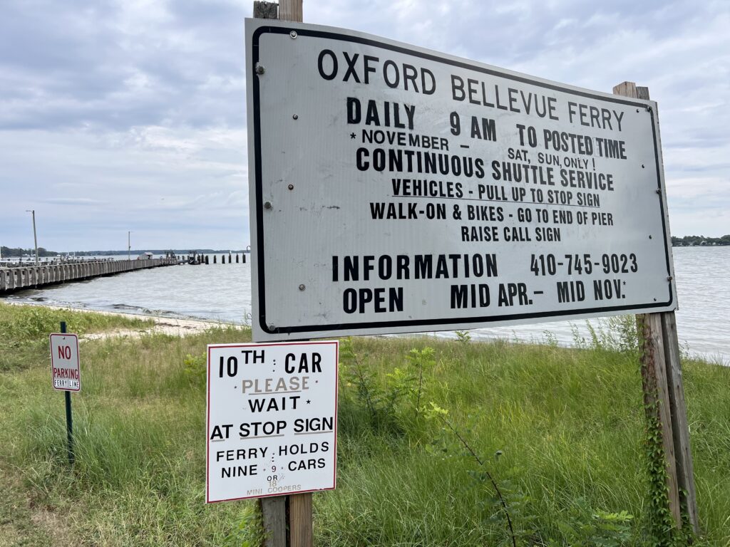
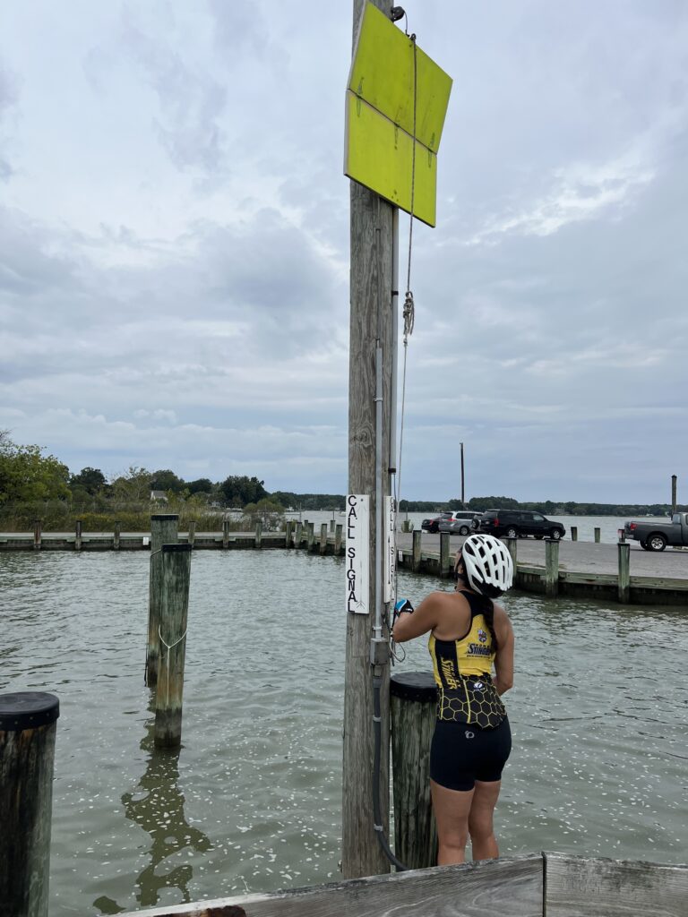
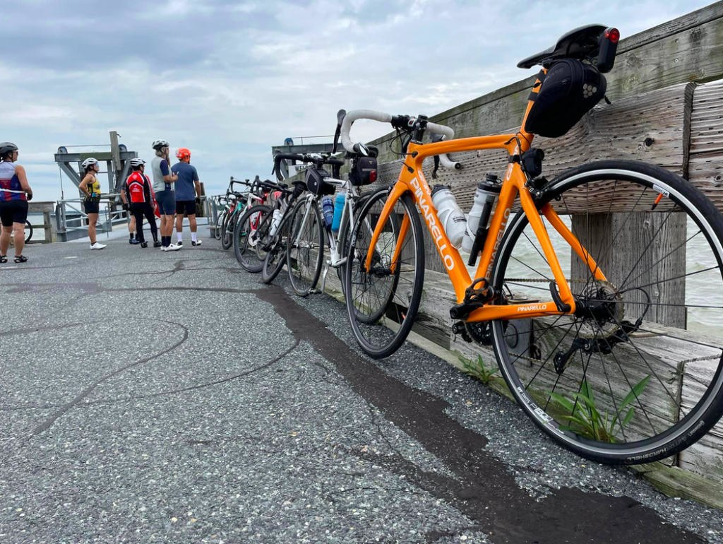
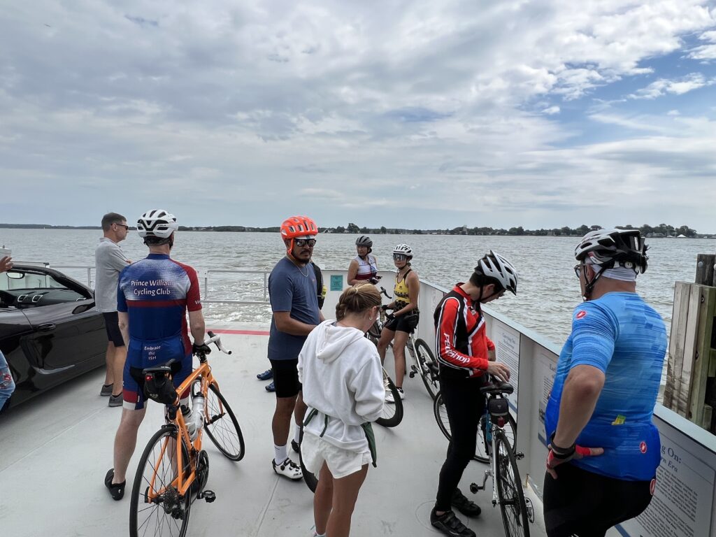
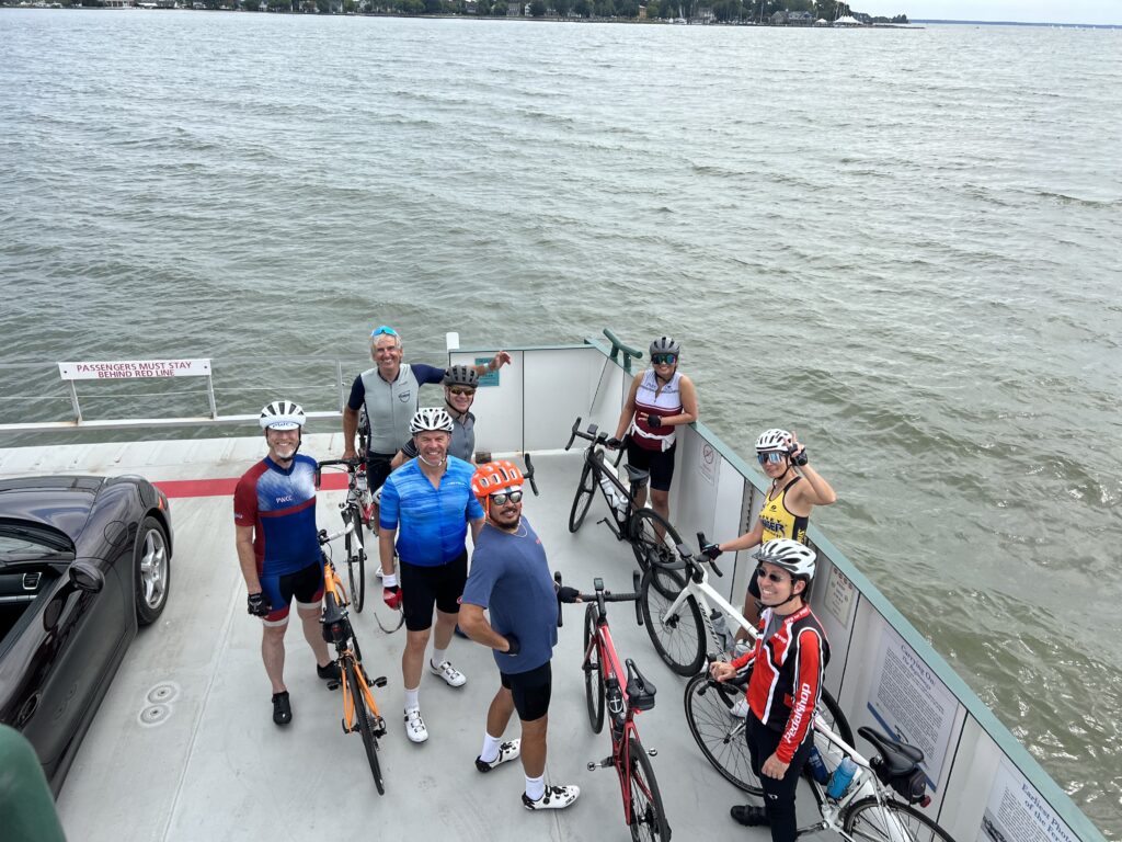
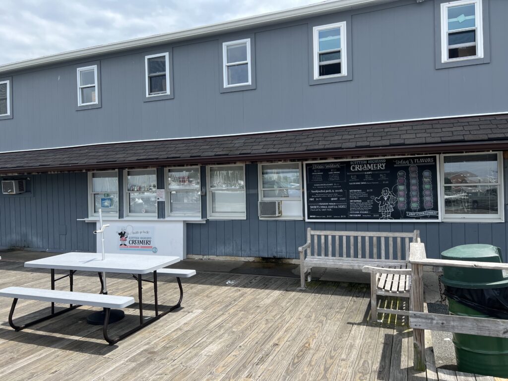
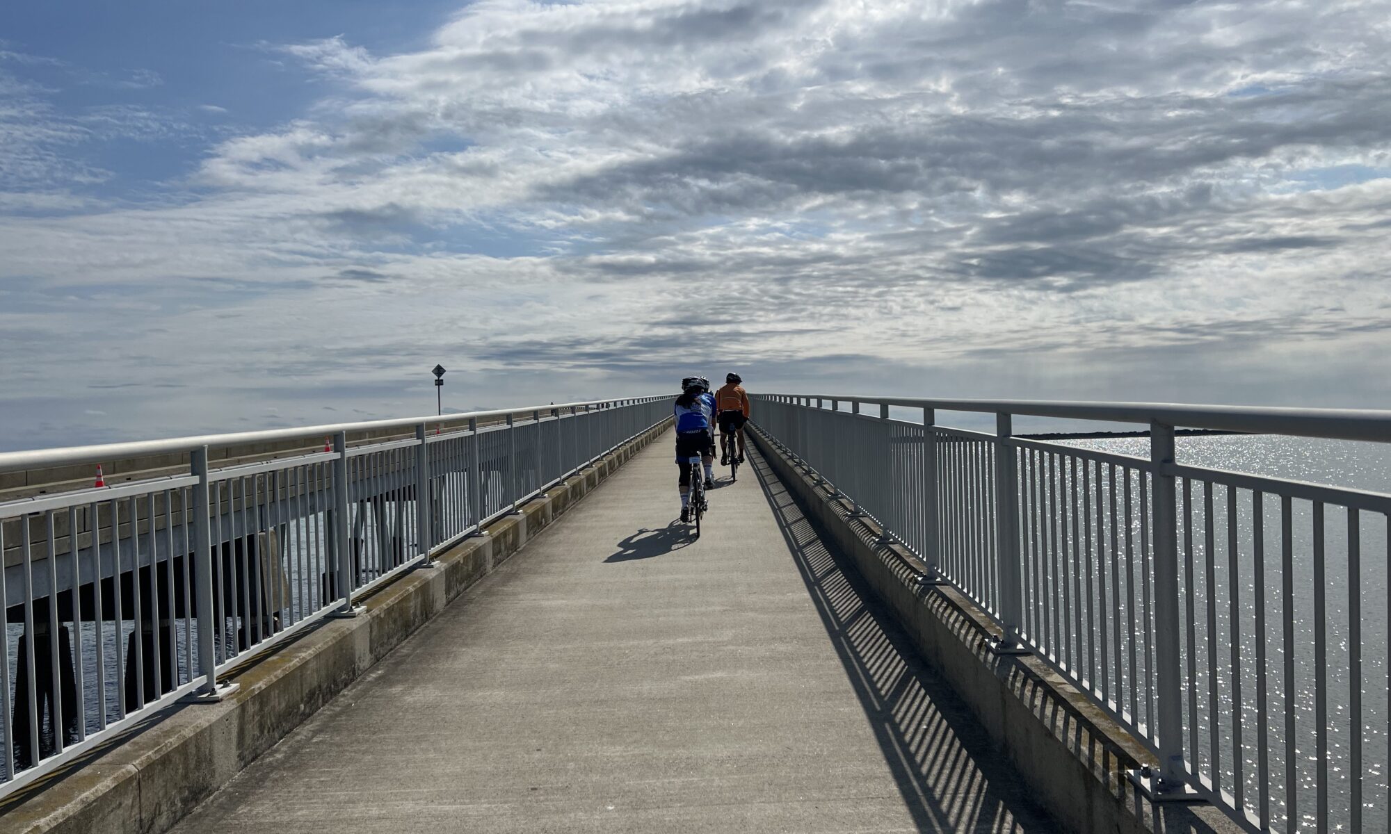
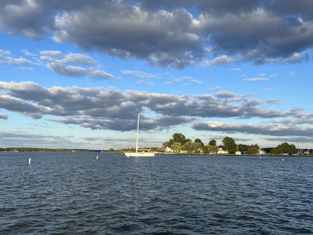
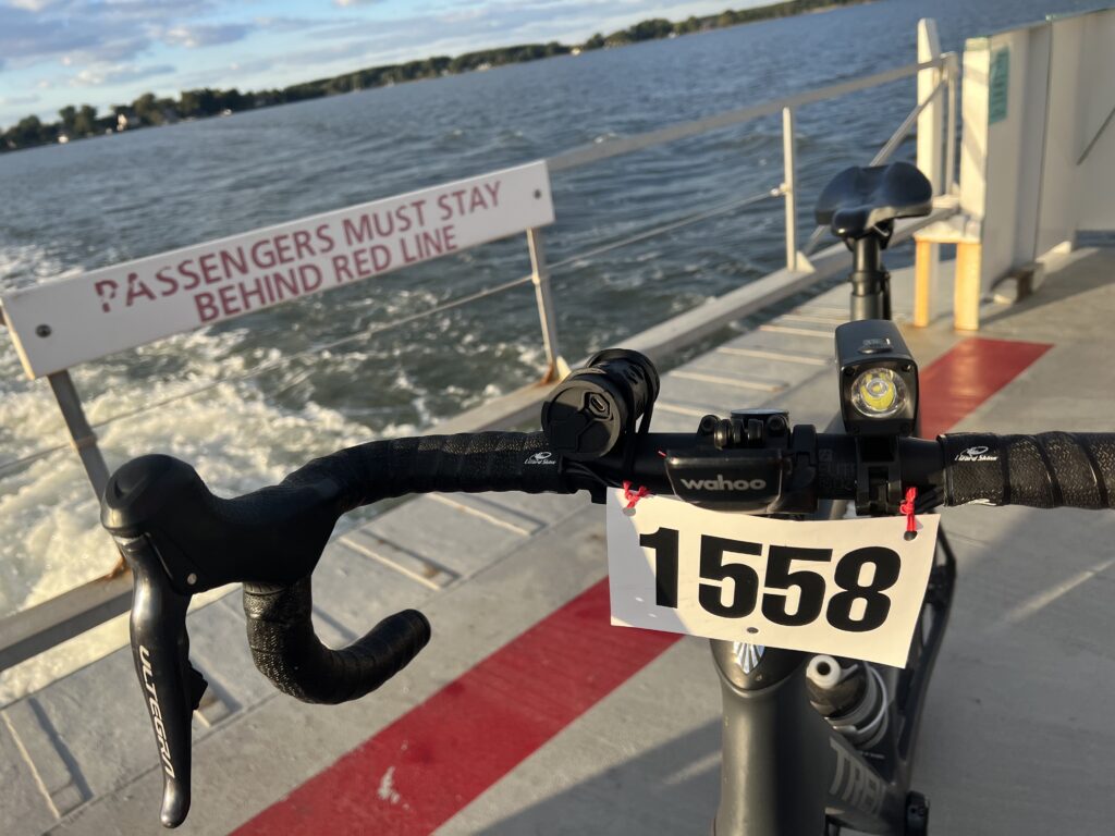
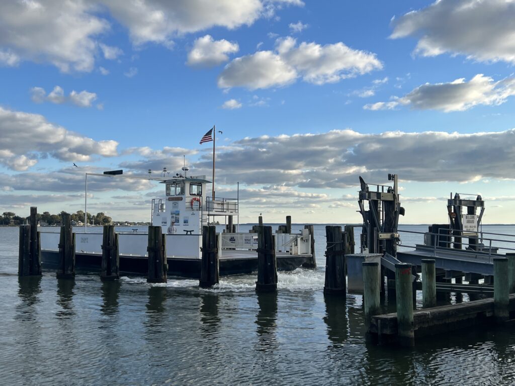
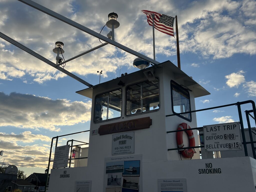
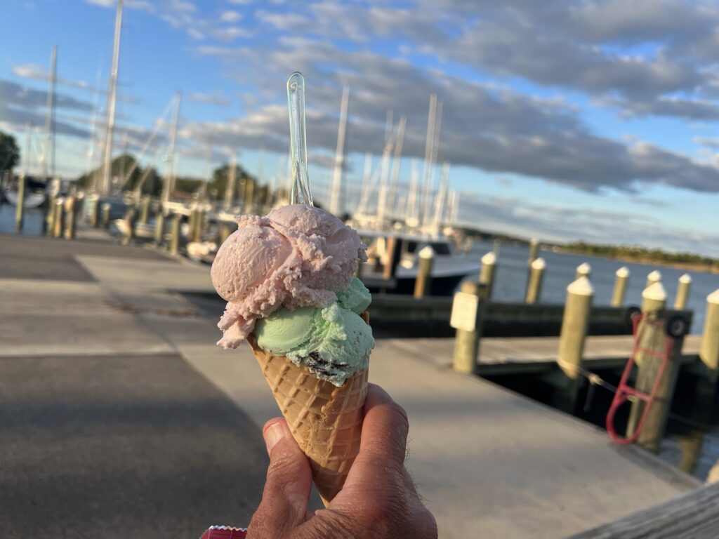
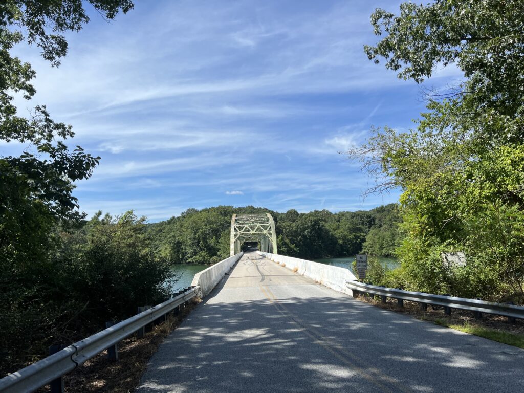
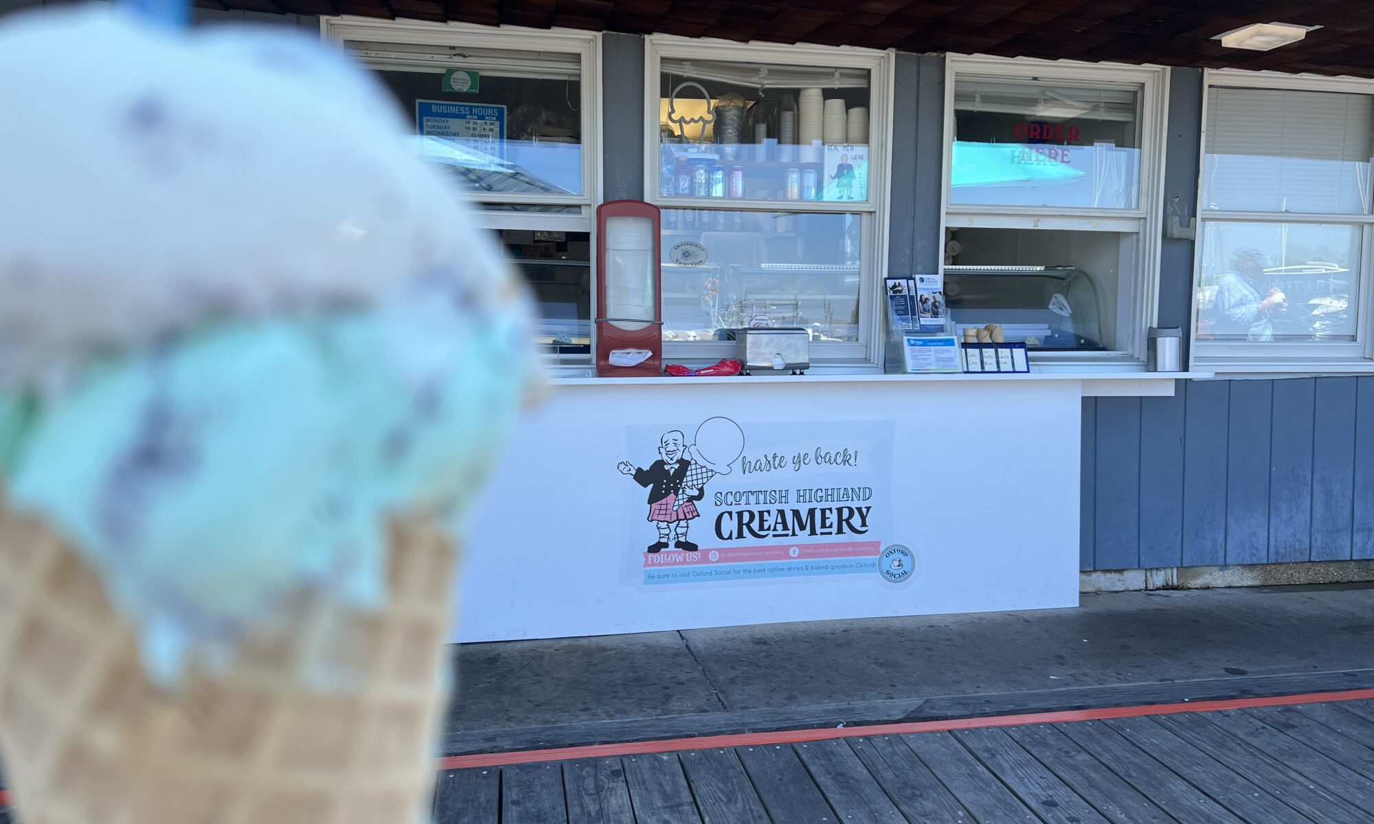
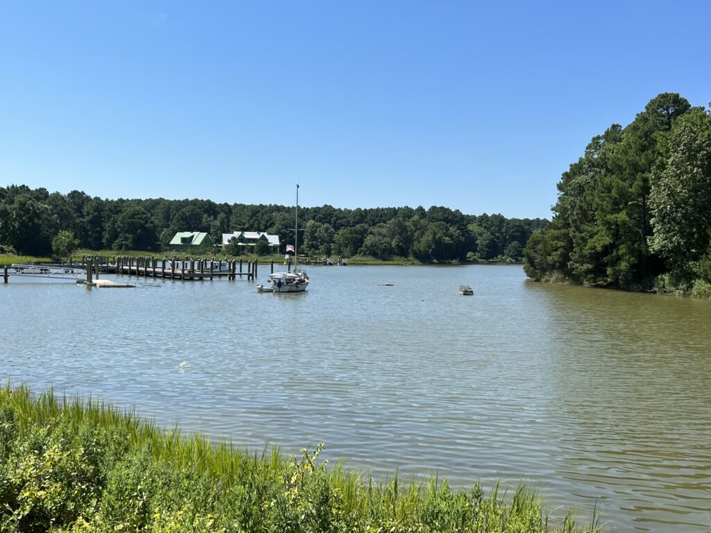
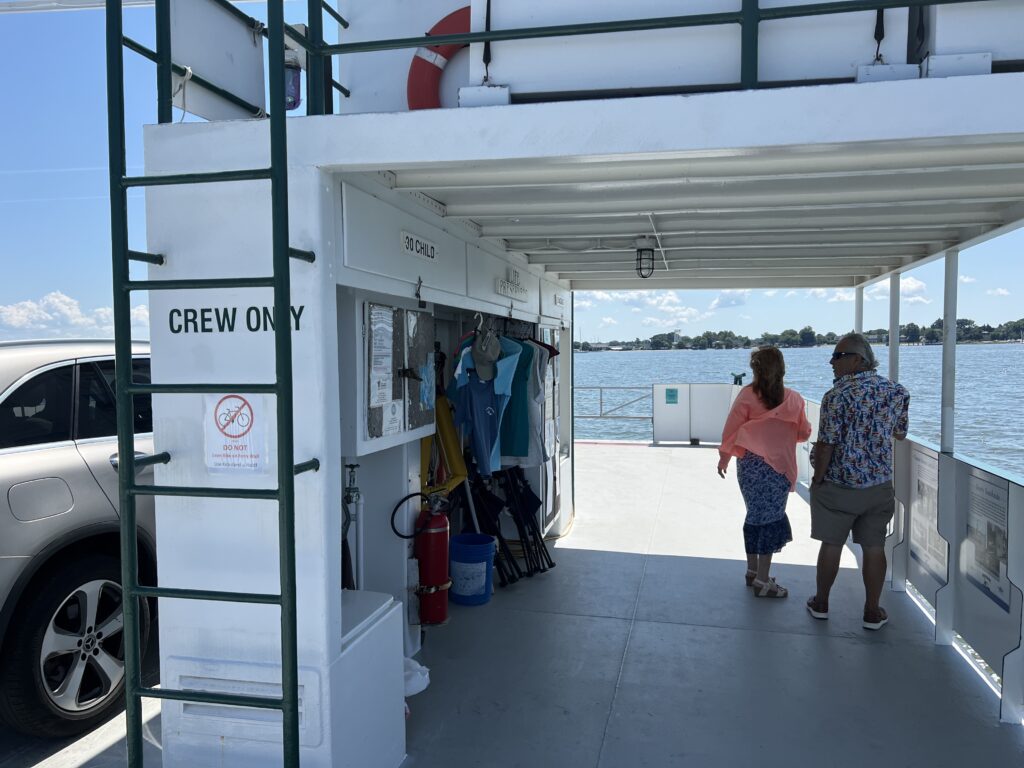
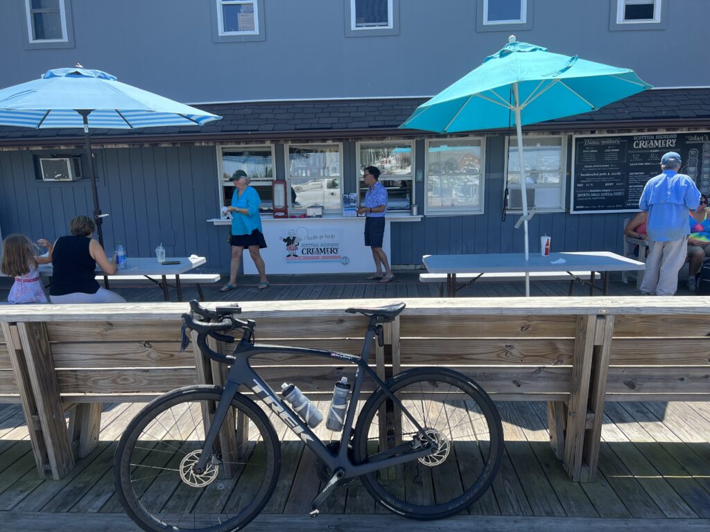
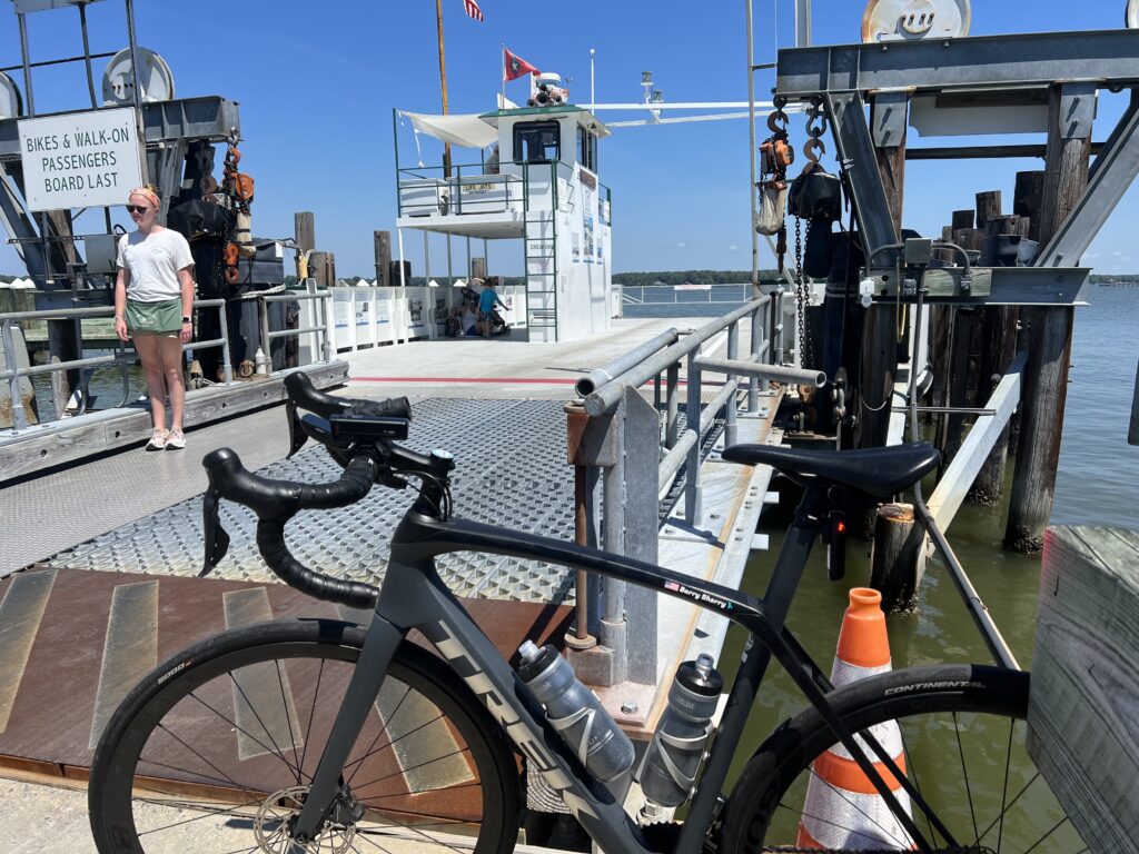
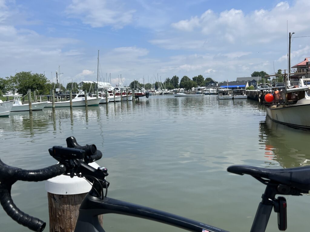
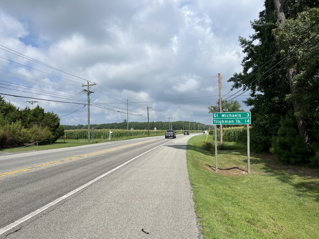
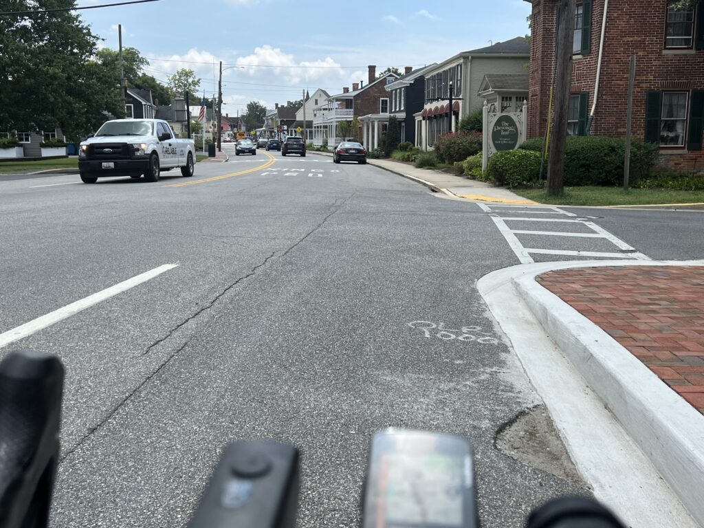
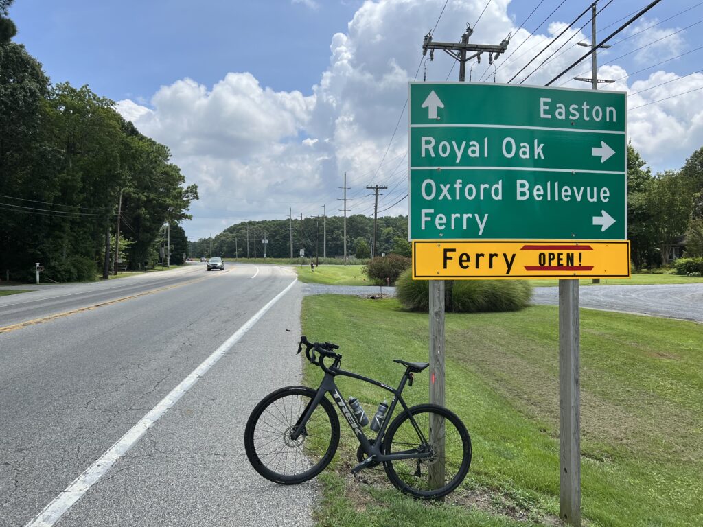
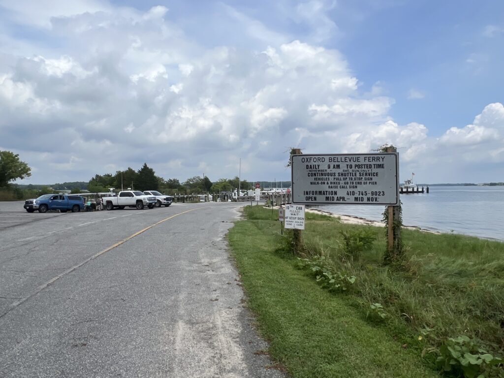
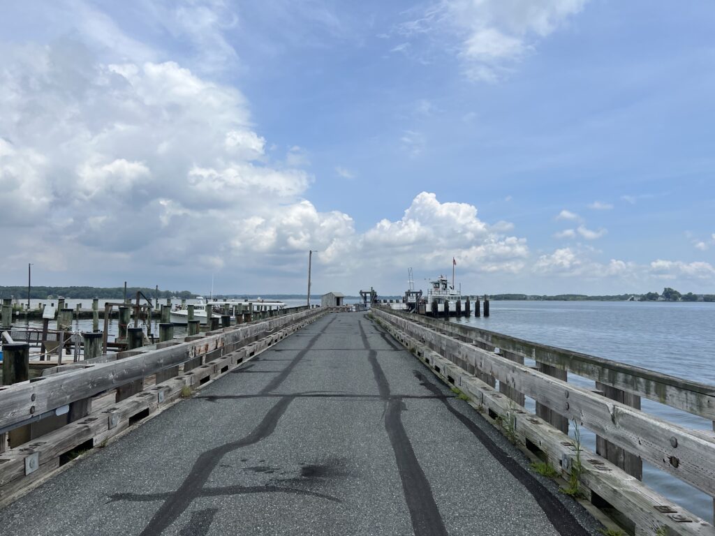
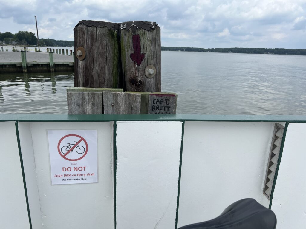
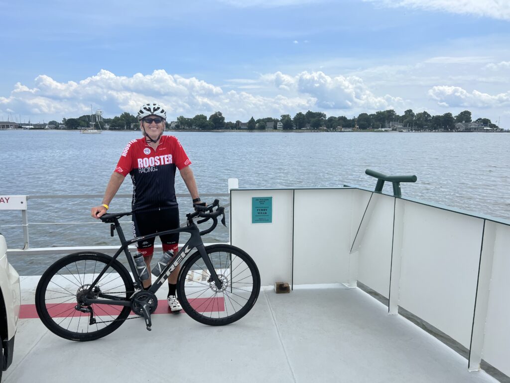
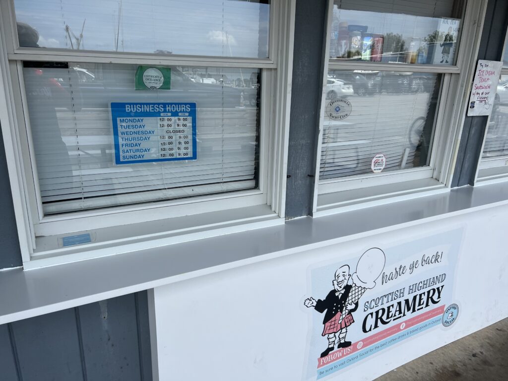
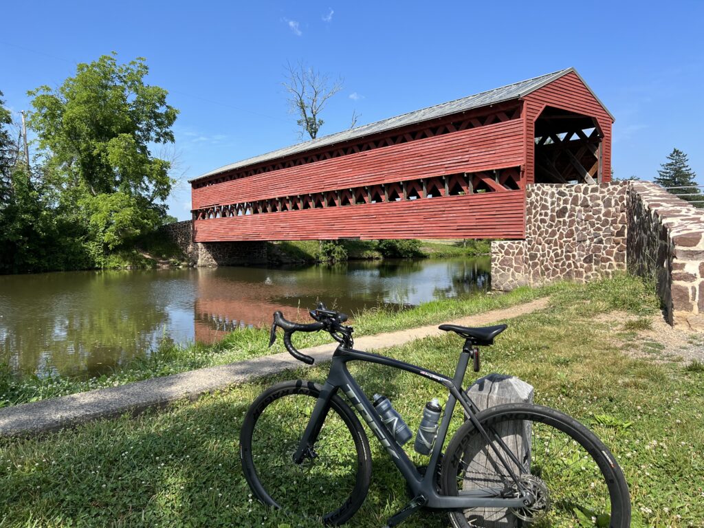
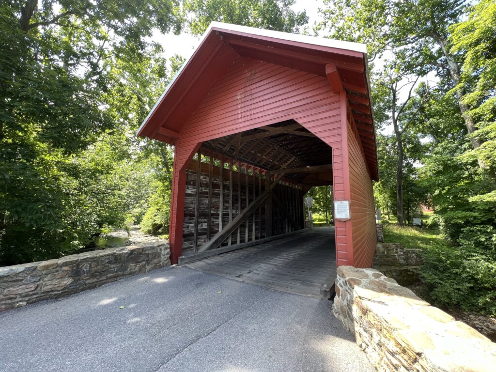
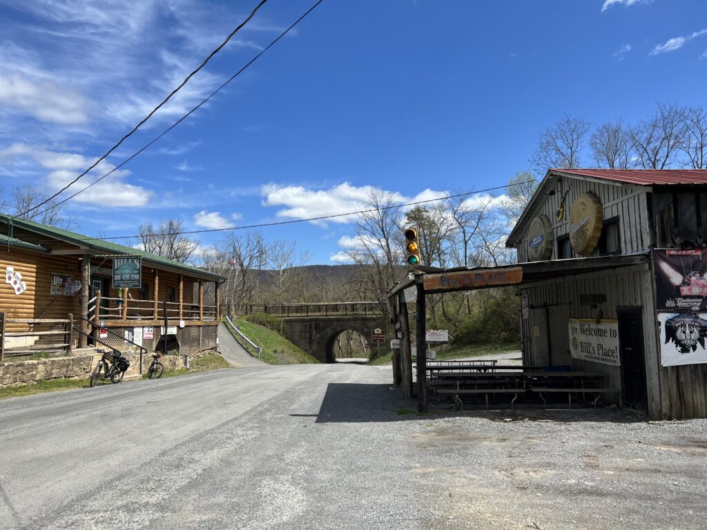
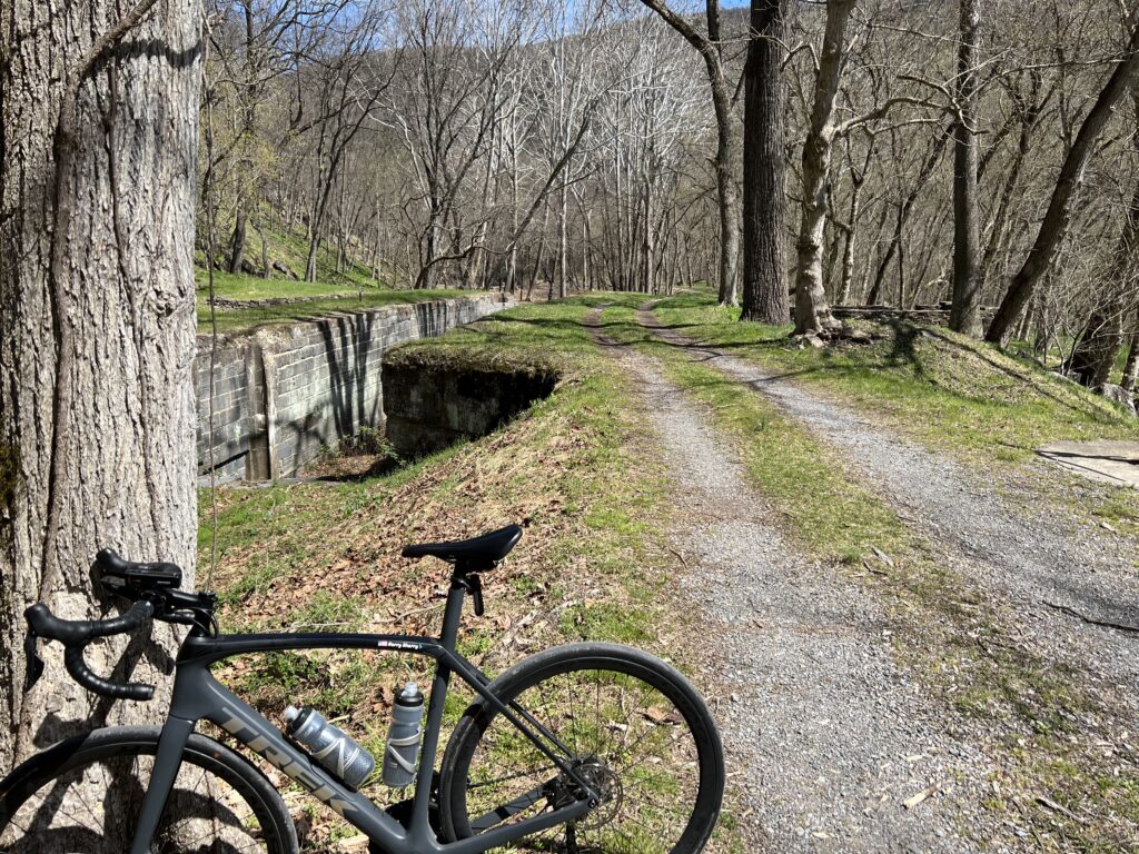
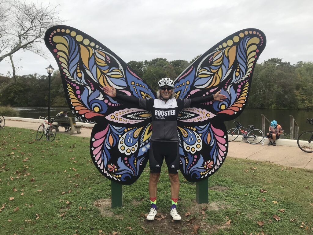
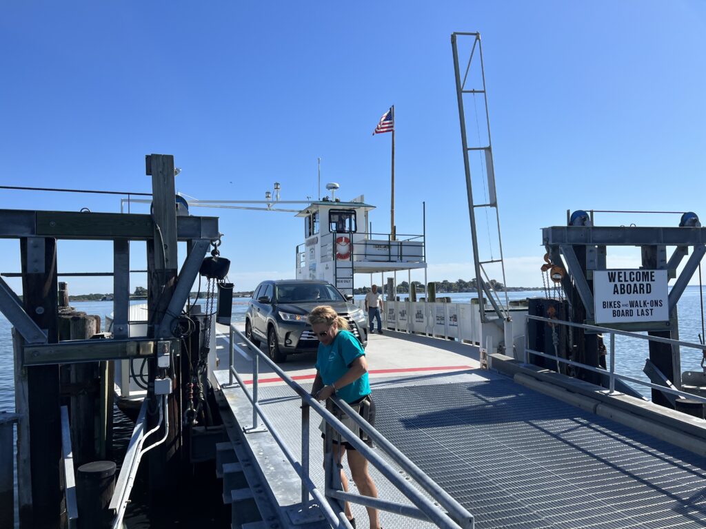
On Thursday I drove to Salisbury but first stopped in Easton for a St. Michaels loop ride. I went out to St. Michaels, rode through the beautiful residential section, cut over to the trail, and then headed to the Oxford-Bellevue Ferry. The operator was Brooke, a lovely woman who had been from Warrenton, Virginia. And stopped for ice cream, of course.

Oxford Ferry

Dinner last evening was across the street at the Texas Roadhouse. I ordered a 6-oz. sirloin, a cup of chili, and corn. That seemed to be an adequate meal. A the Hampton Inn my breakfast was a bowl of oatmeal (but probably not much bigger than a cup), a scoop of scrambled eggs, and a thin-sliced ham patty. Should have gone with the waffle. Or lots of oatmeal.

Perryhawkin Church Road

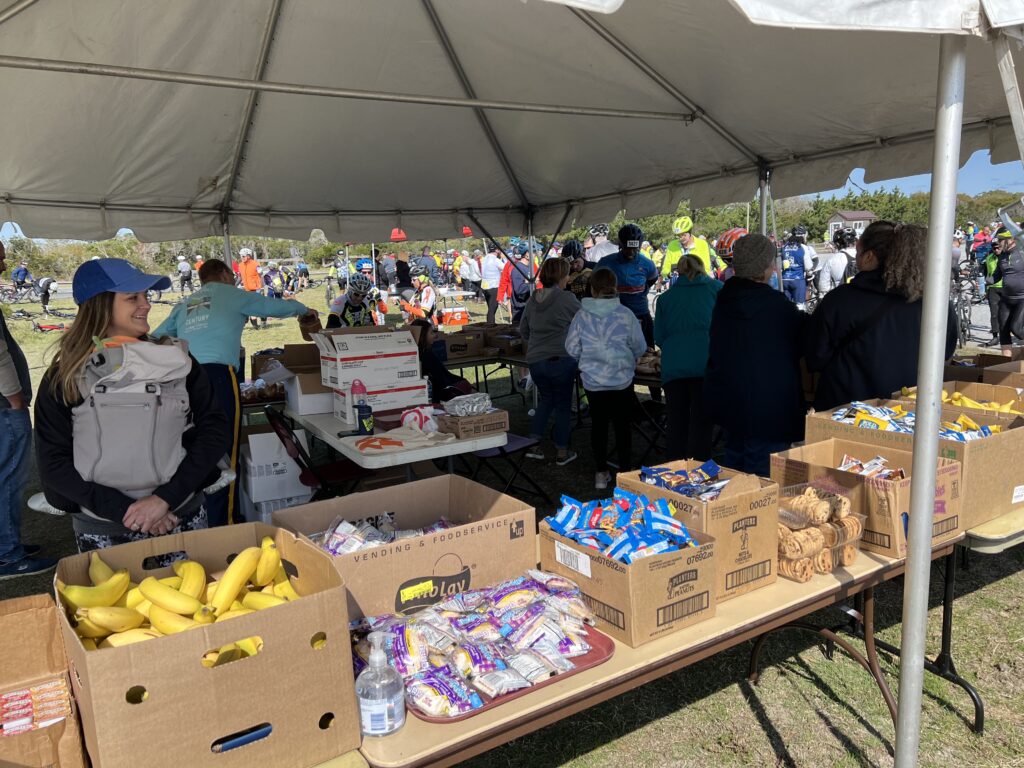
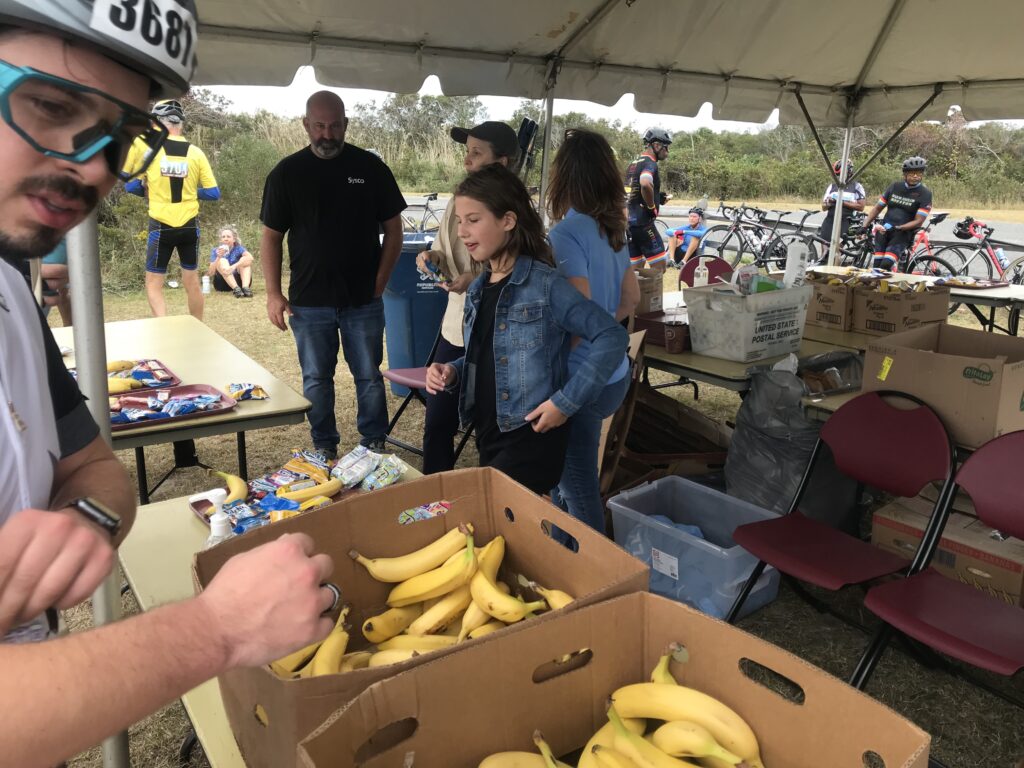
Last year it was overcast and almost cold. I blew by the first two rest stops stopping only at the one at Assateague State Park. I took only a bagel. Two bottles of fluid shouldn’t have been enough but it was. Because I rode well last year I wasn’t worried about nutrition today. I carried two SIS gels, two chewable carbs, one pack of Honey Sticker chews, and a banana I got from breakfast. And two bottles.

SGC Markings on the Road

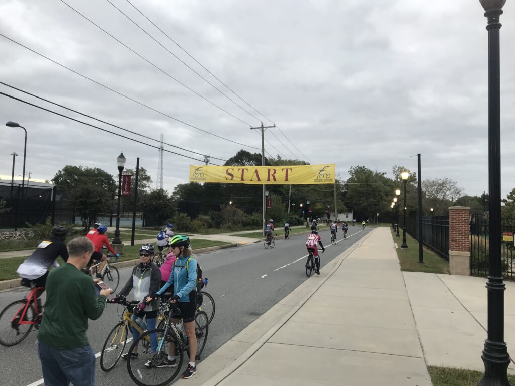
I was ready to roll and reviewed my directions. On Tuesday an email had gone out to all riders:

IMPORTANT NOTE: **Route Detour** Please be aware we were required to add a last-minute detour to the route affecting BOTH metric and century riders. Updated RidewithGPS links can be found on our website (seagullcentury.org).

Somerset, Md.

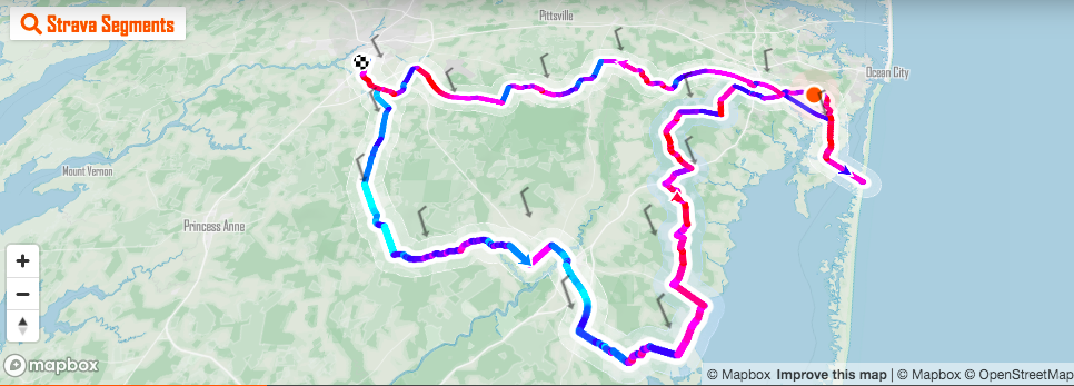
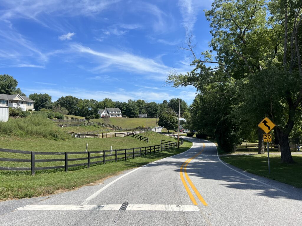
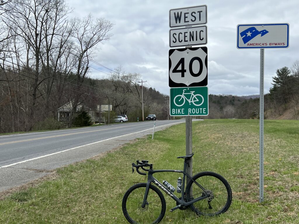
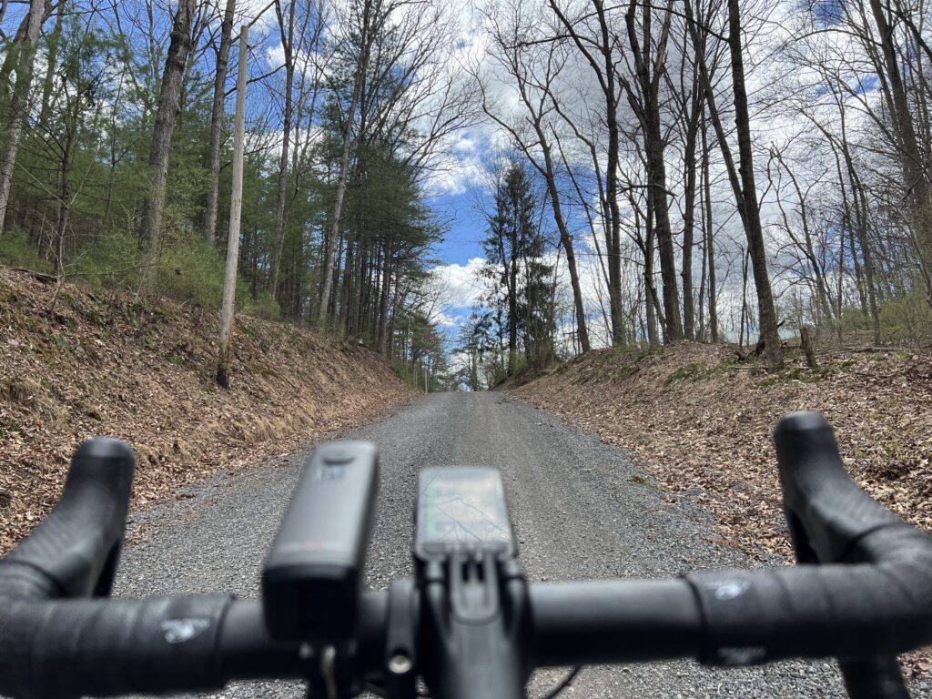
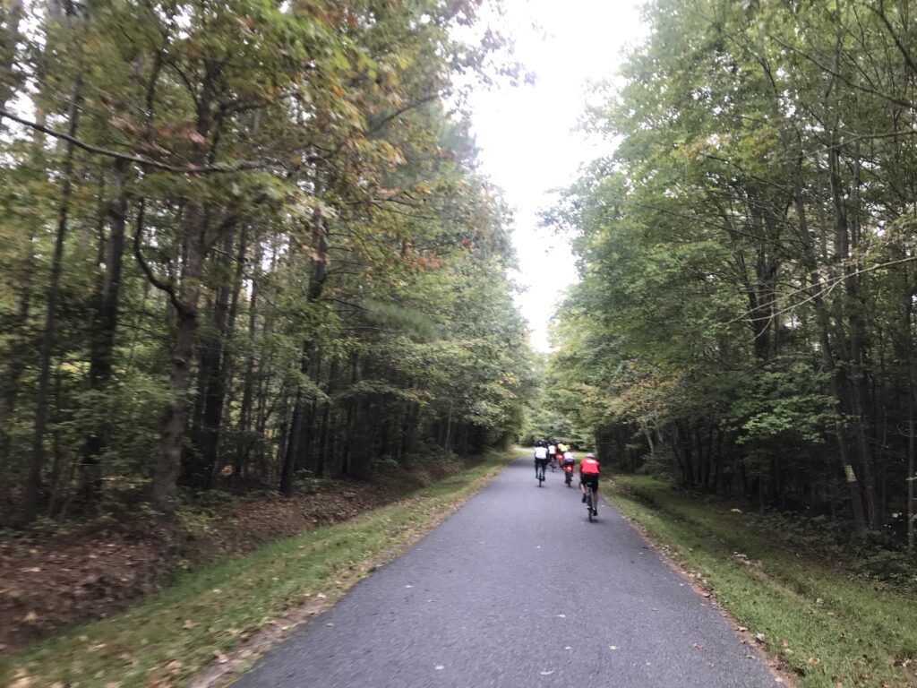
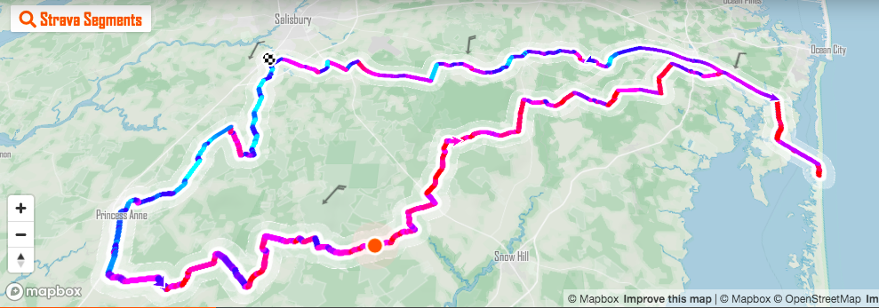
Despite knowing every turn of the route I went to the SCG page and downloaded the route to my Wahoo. And indeed the route was different this year compared to the past. We were no longer going through Snow Hill (a neat little town), along the bayside, or through Newark. Whether this was temporary for this year or permanent I do not know.

Washington High School – Rest Stop One

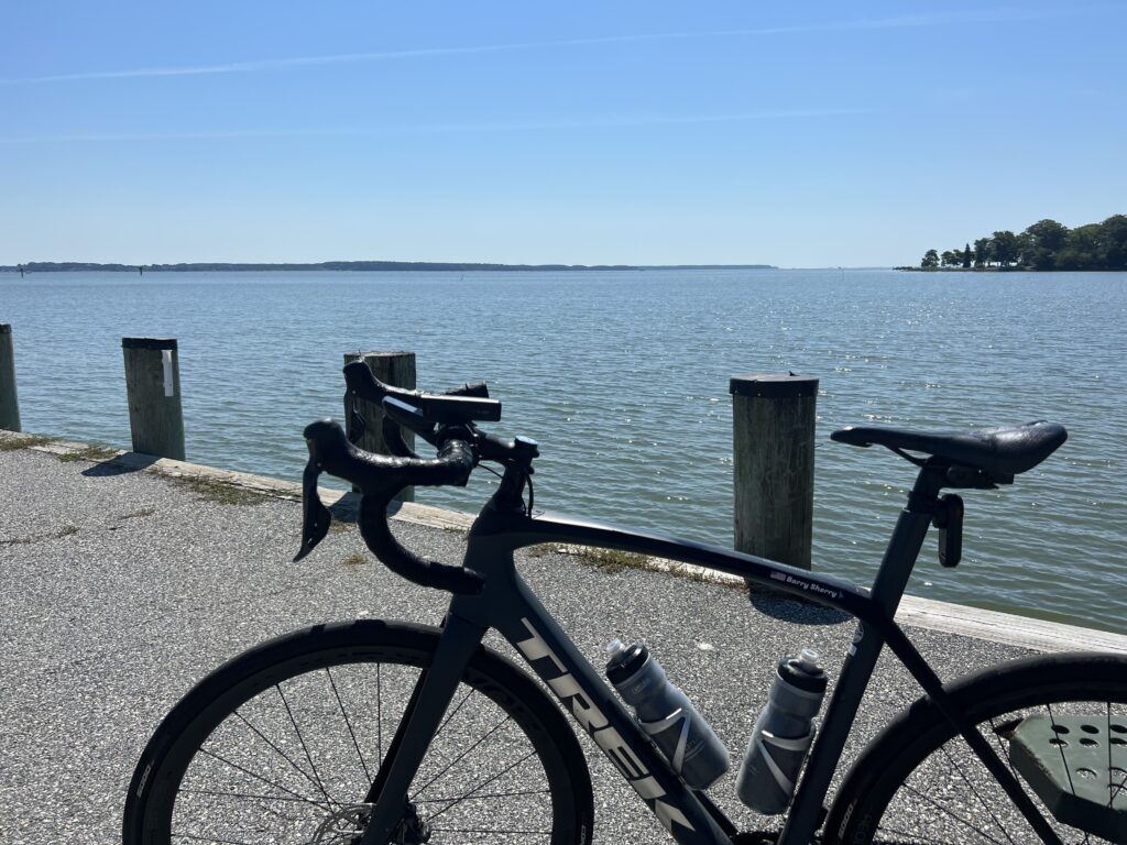
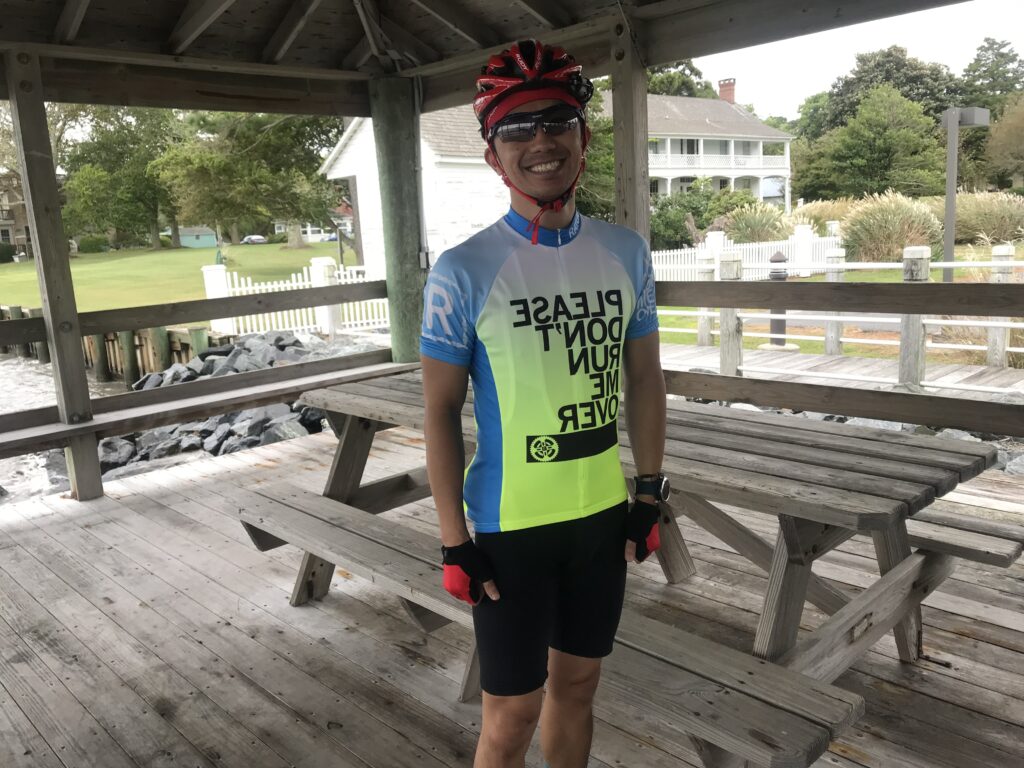
It was 55℉ (12.8℃) when I started. I wore my Schleck Xperience kit, arm warmers, and a vest. The low rising morning sun brought much-needed warmth and it was very pleasant riding until I came to one of the forested sectors. The temperature seemed to drop 10 degrees inside the forest and the sun was completely blocked from reaching the road. It wasn’t until three hours into the ride that I finally removed the vest. The warm warmers came off 30 minutes after that.

Porta-johns are the most welcome feature at Rest Stop One

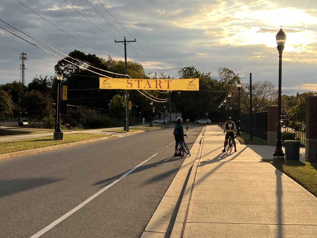
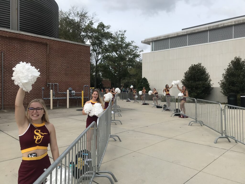
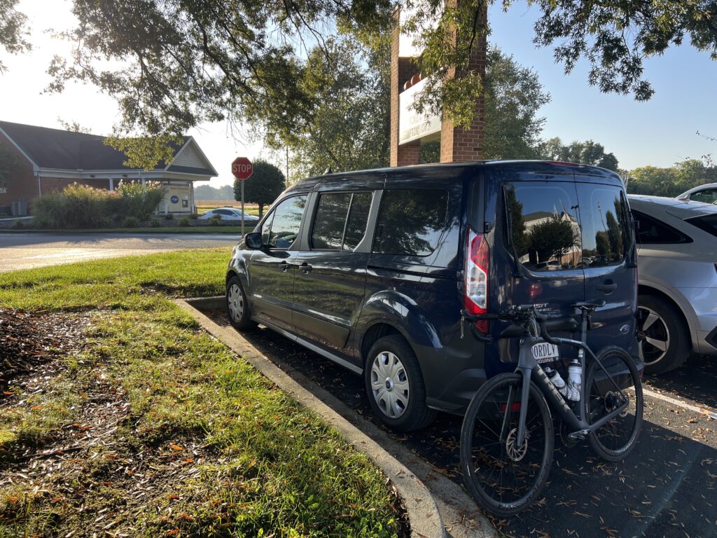
I had made my own route change. Instead of leaving from the college at the official start, I would ride out the door from my hotel in Fruitland. It was less than one mile before I would pick up the route of the SGC. I could return to the college for my check-in to pick up my swag (t-shirt).

Maggs Gym at Salisbury University

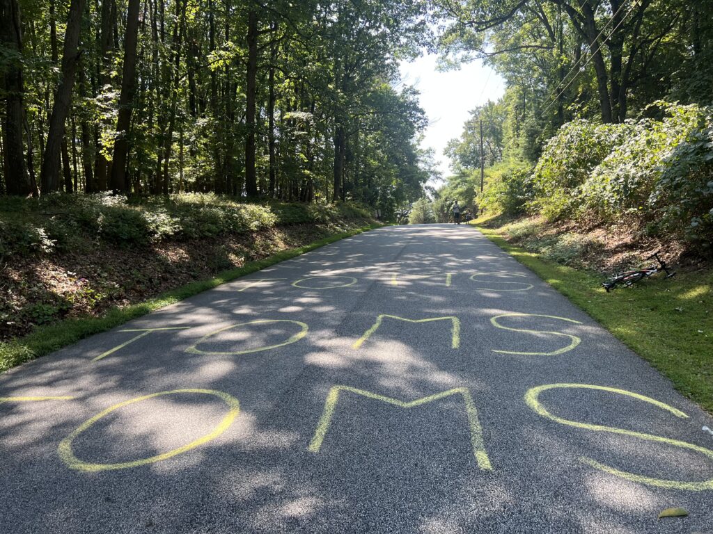
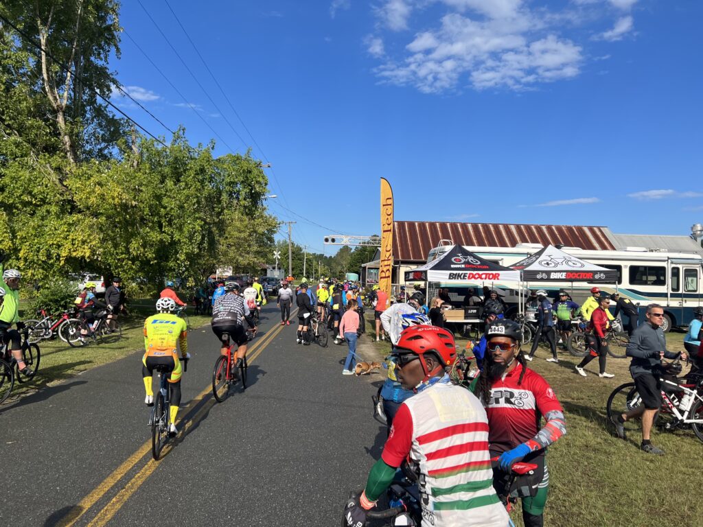
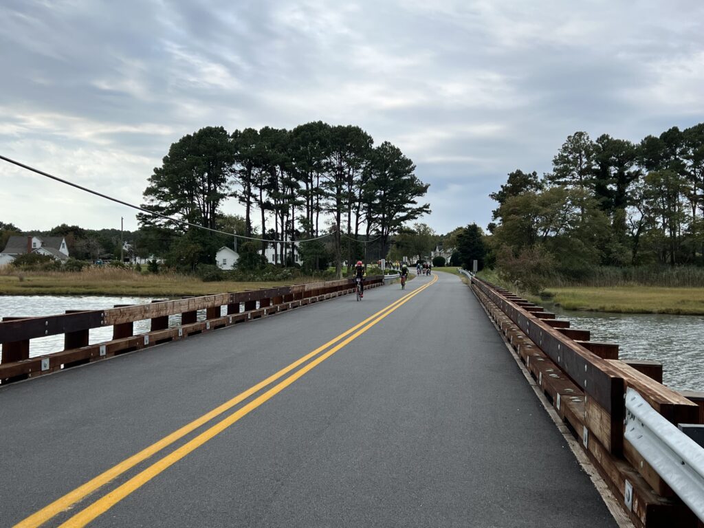
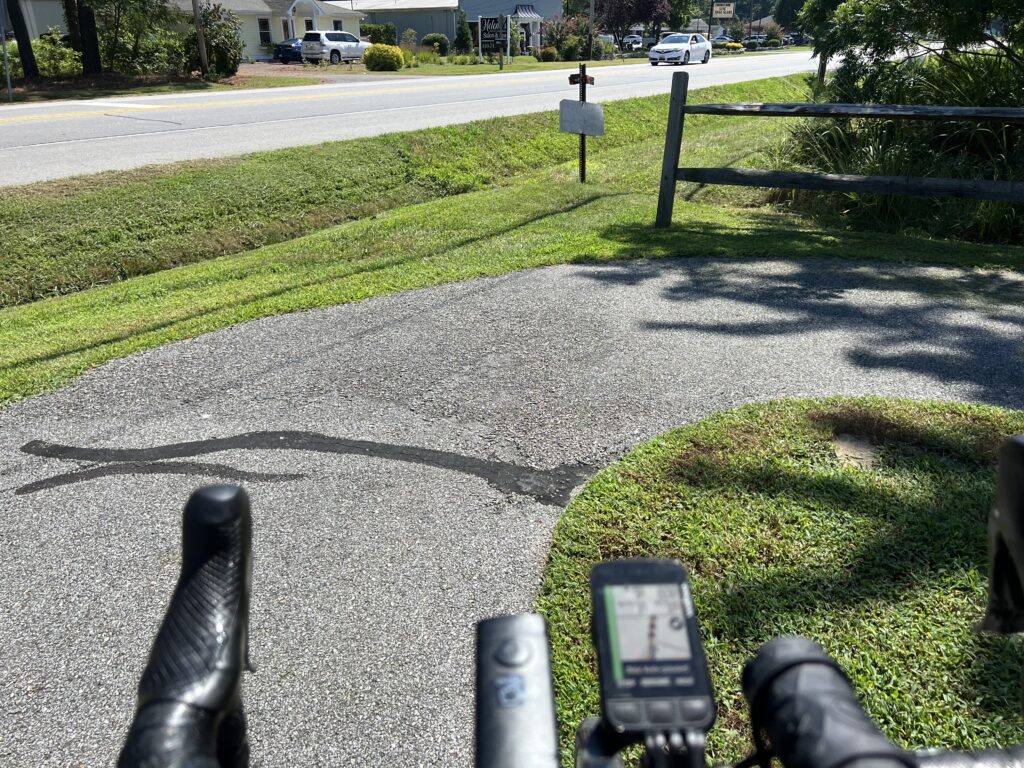
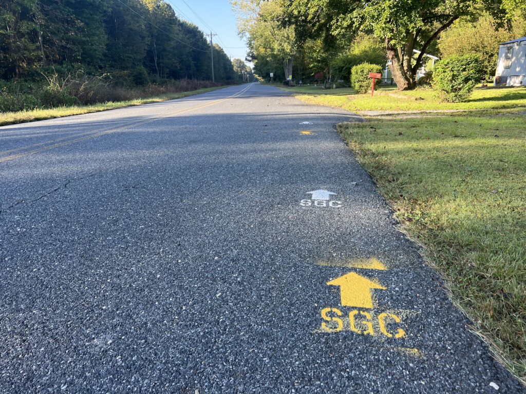
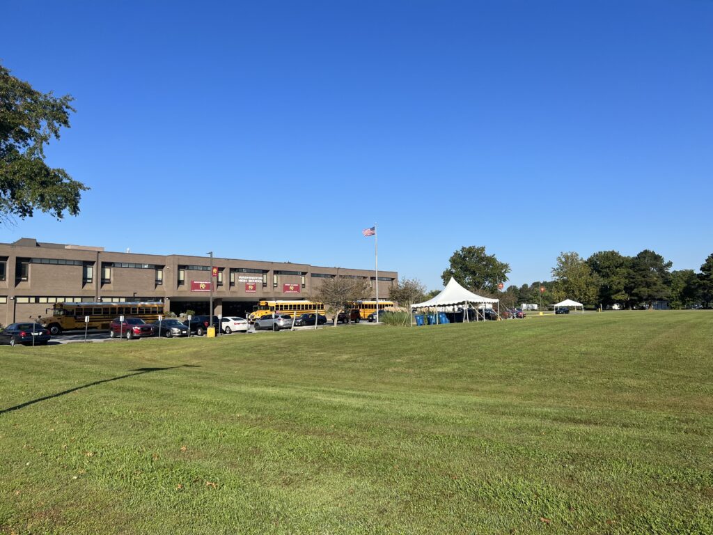
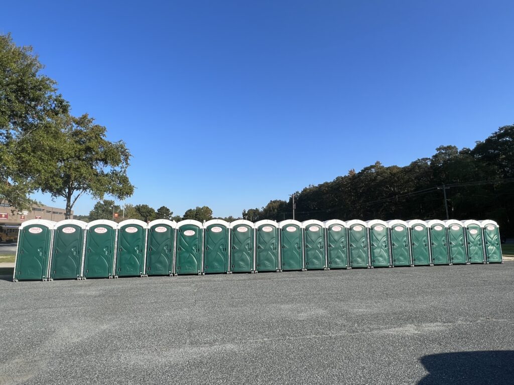
The first rest was set up at Washington High School in Somerset, Md. The porta-johns were all in place as was a tent for the food and snacks. It was two miles after this stop where I came to the first fork in the road. My map had me going straight on Dublin Road but the painted SCG markings turned right on Arden Station Road. I first followed the markings but then did a U-turn. Once I was no longer following my Wahoo but some paint in the road I could be in trouble. I have missed marked turns before but never missed a turn on the Wahoo. In Wahoo I trust(ed).

Had a great bib number this year

The routes came back together, maybe at Mitchell and Dublin Roads. Two other times the painted directions and my Wahoo downloaded map would disagree. I always followed Wahoo.

Pusey Branch, near Snow Hill

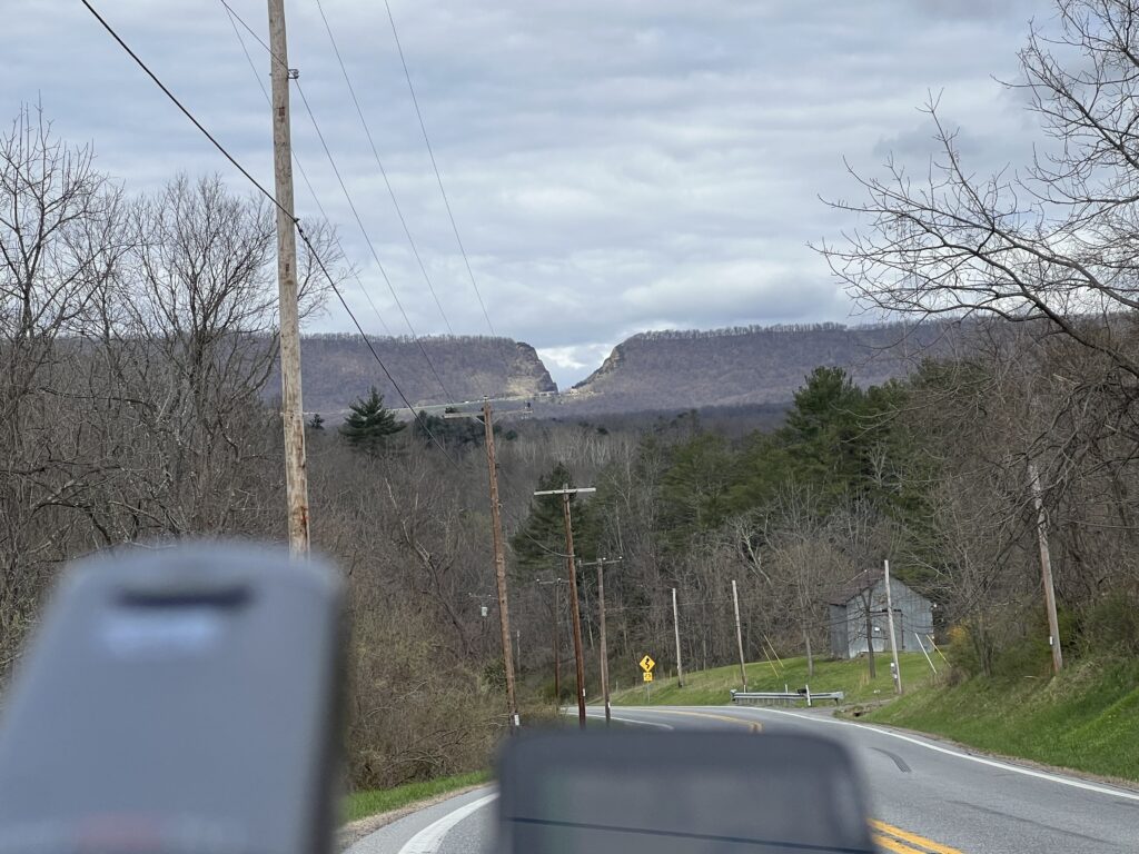
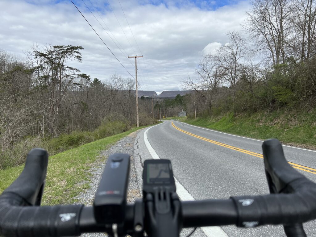
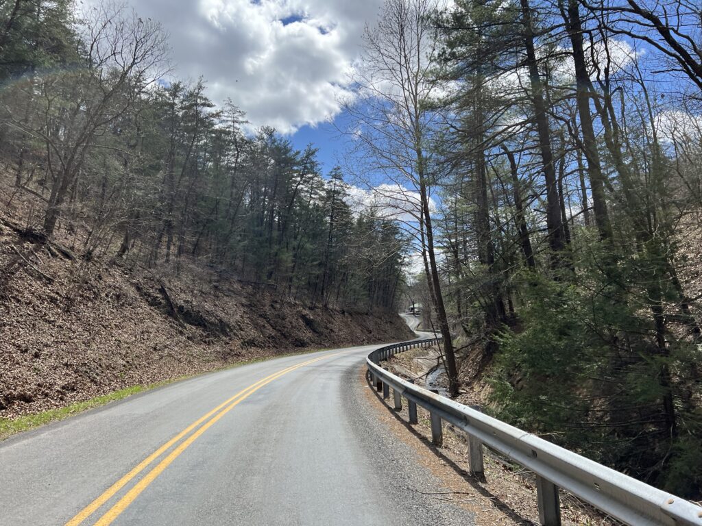
Why the change in route I do not know. It could be for safety or police reasons as the old route to Snow Hill and Newark featured crossings of busy US 113. A few years ago there was a light that cyclists used to cross 113 near Newark that went onto Newark Road. That featured an odd grade crossing of railroad tracks that many riders crashed on. The newer version featured riding on 113, with the help of police, but they were there for hours stopping traffic.

Berlin – It is much more quaint than this photo

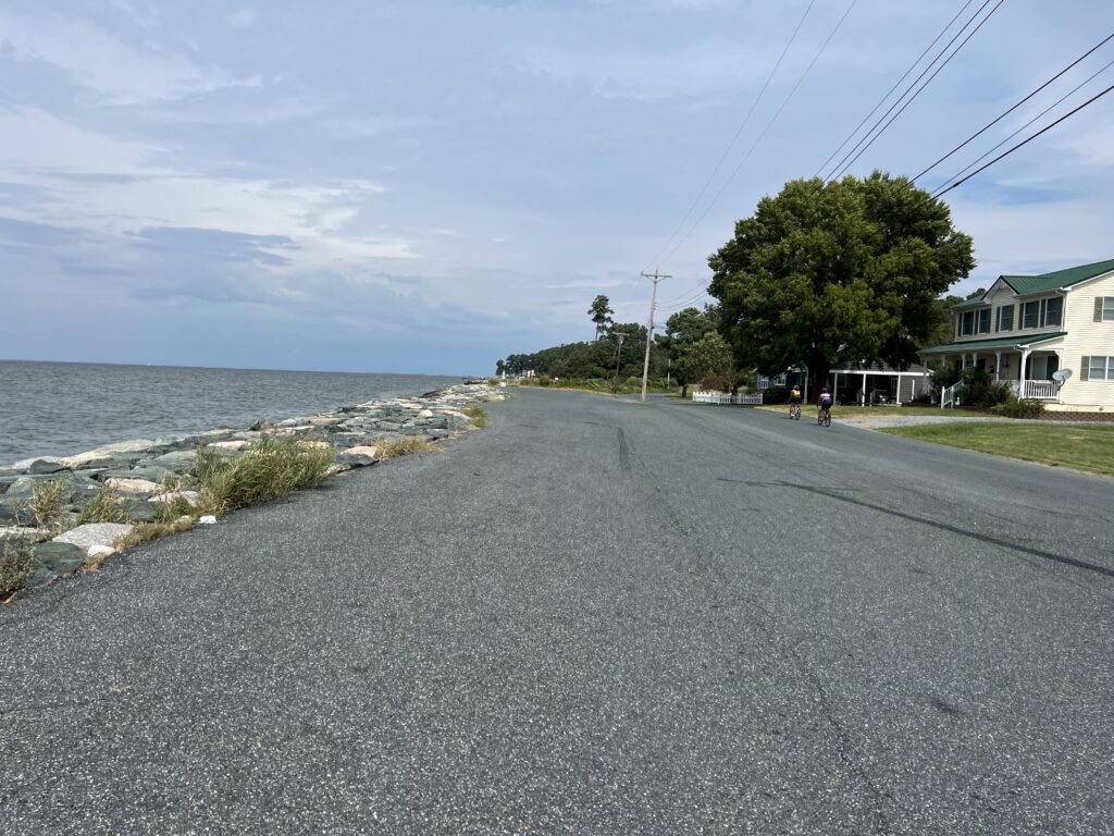
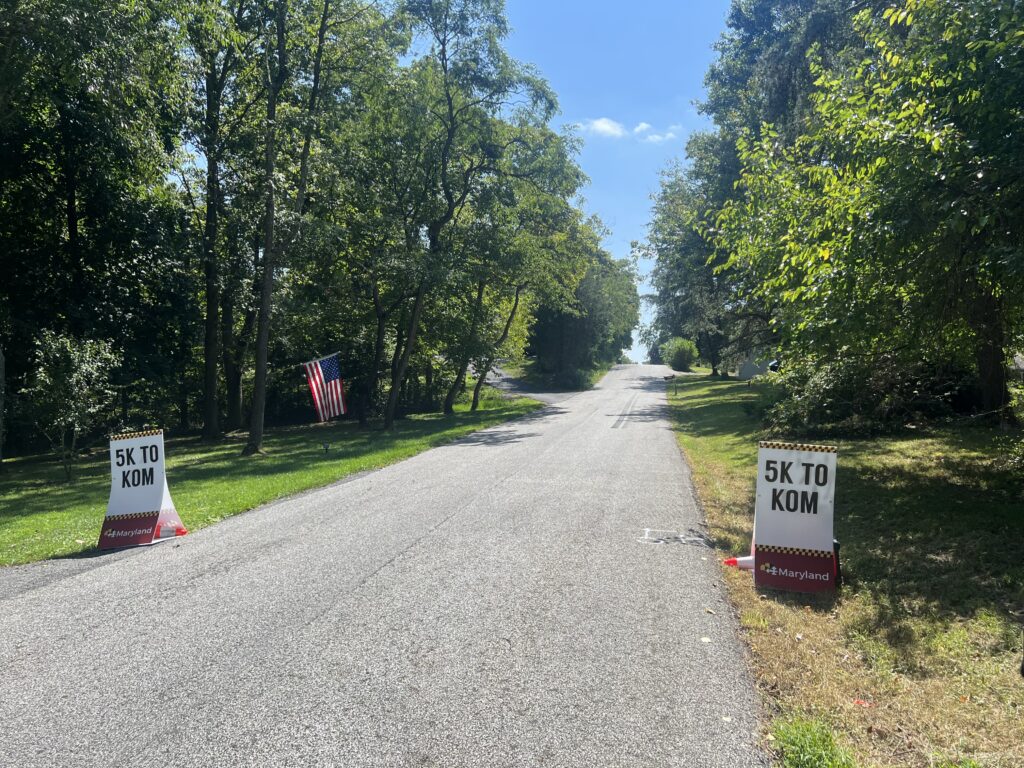
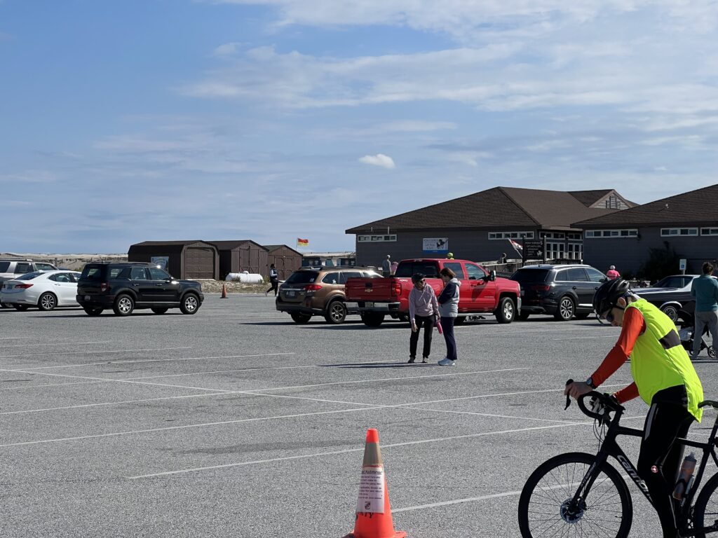
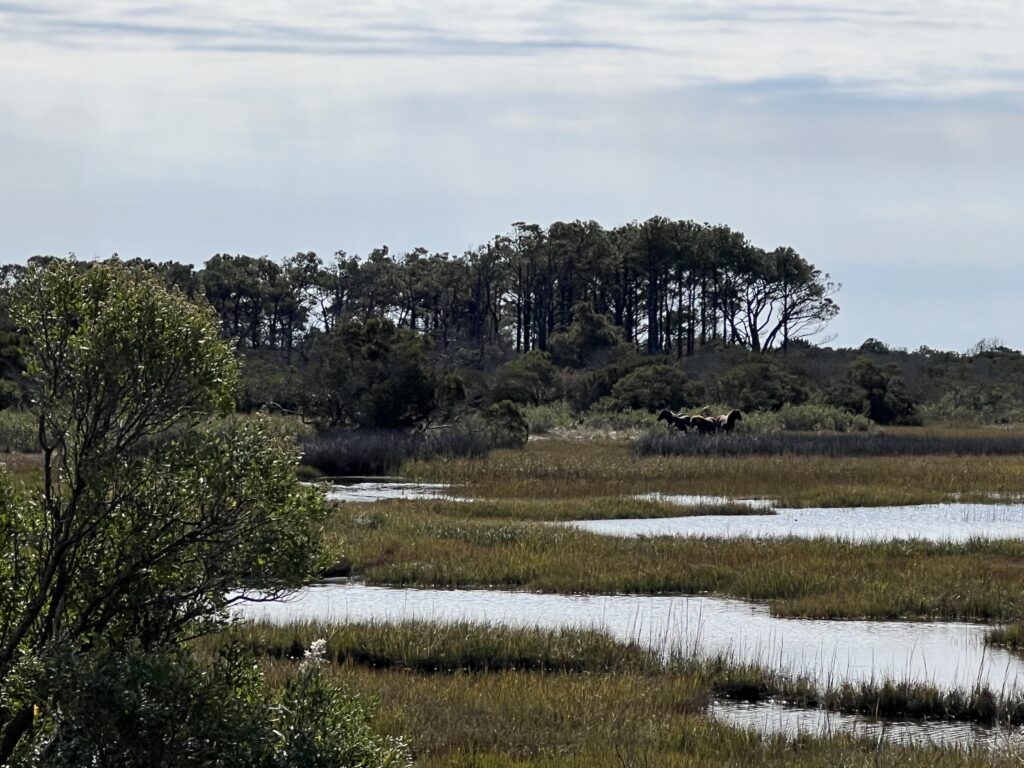
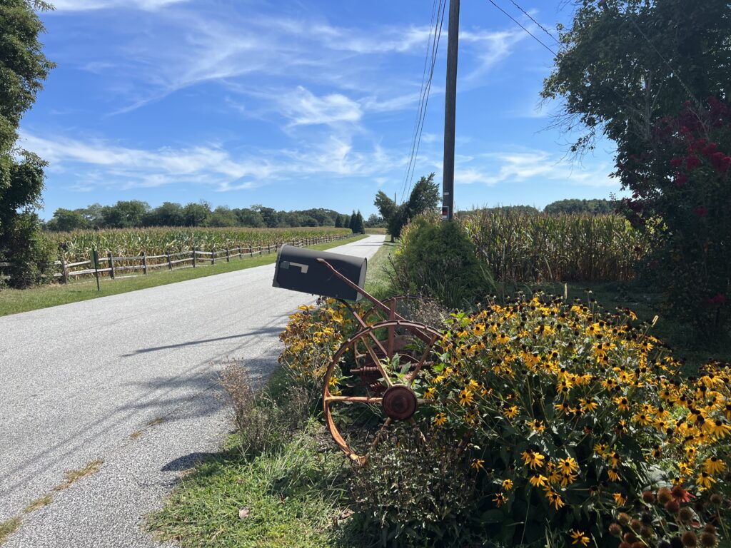
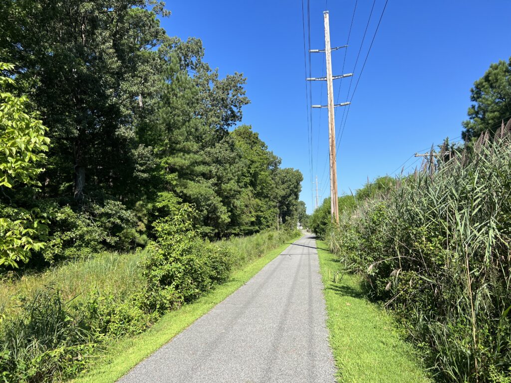
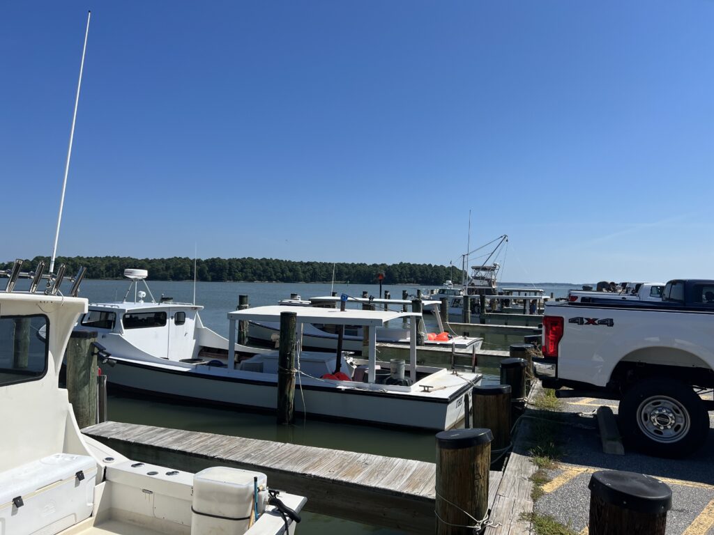
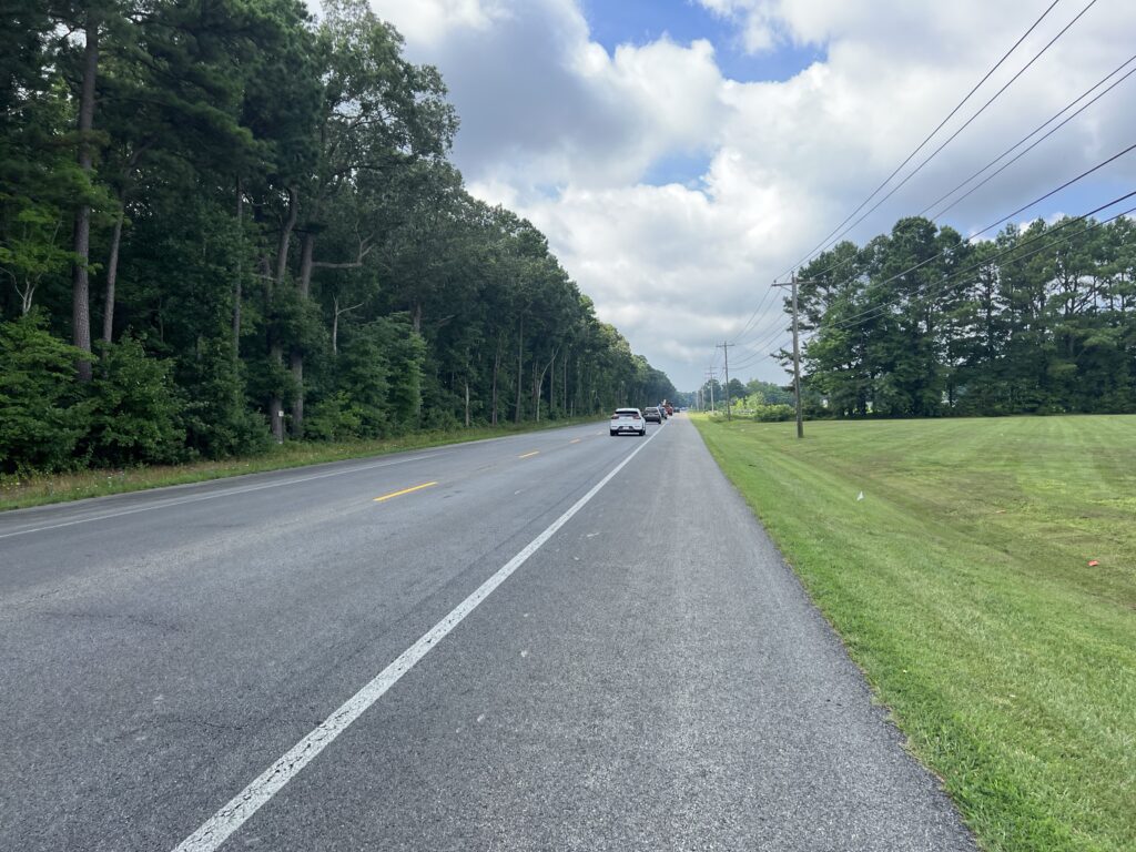
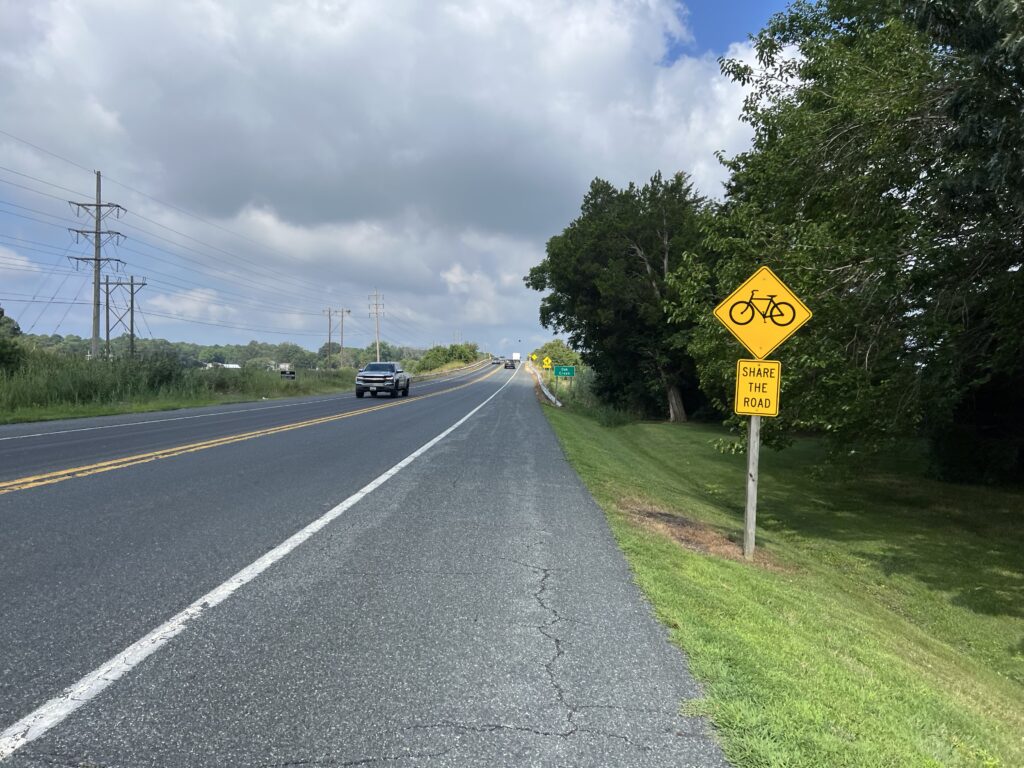
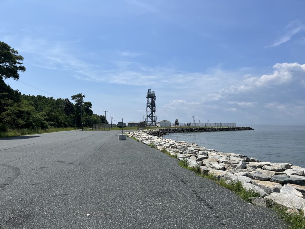
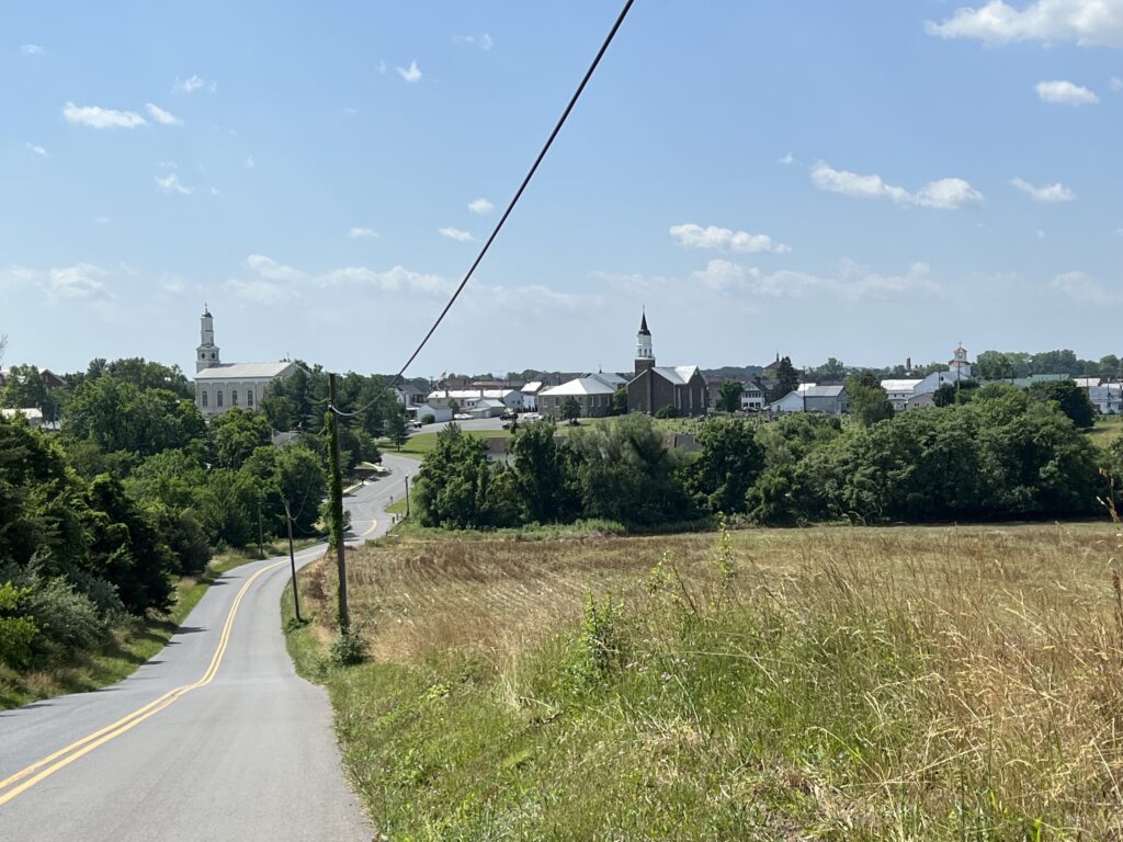
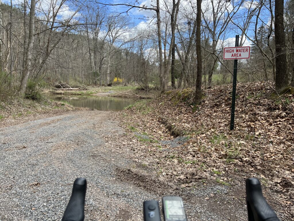
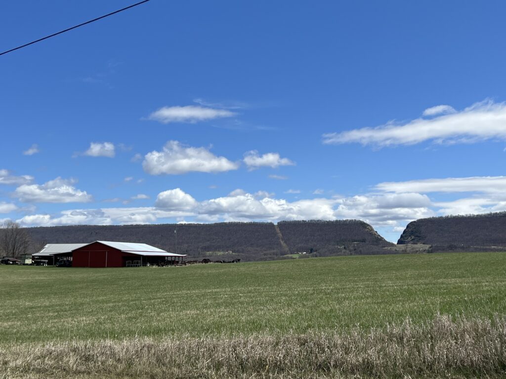
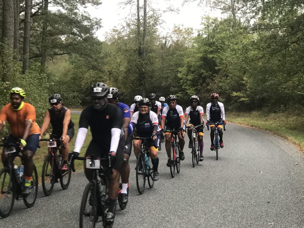
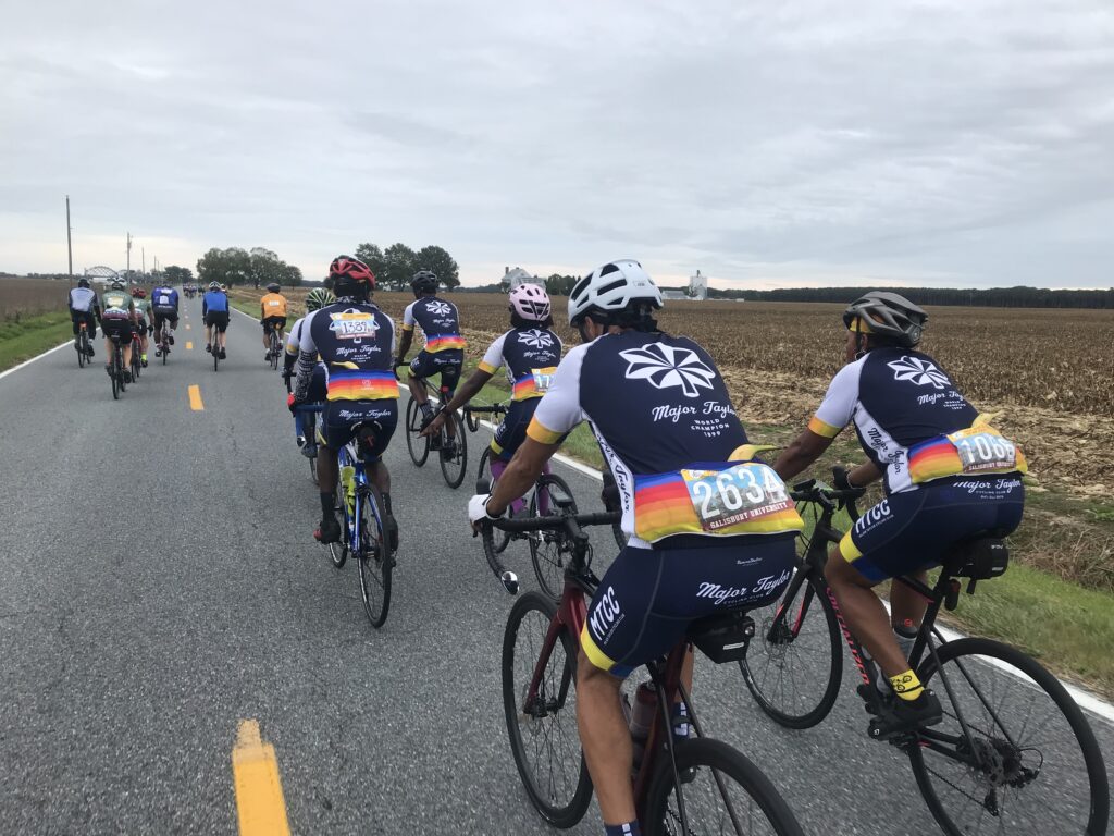
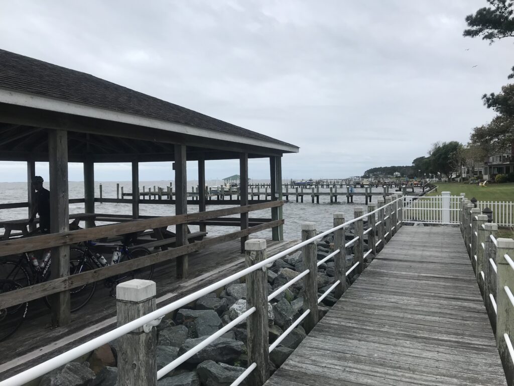
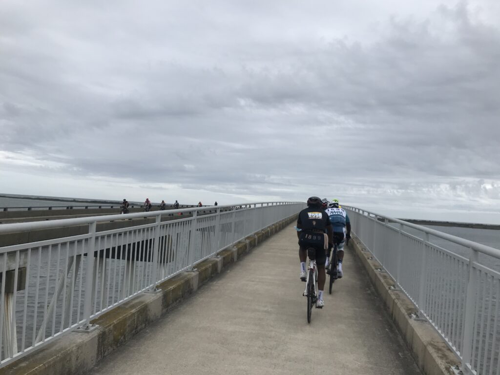
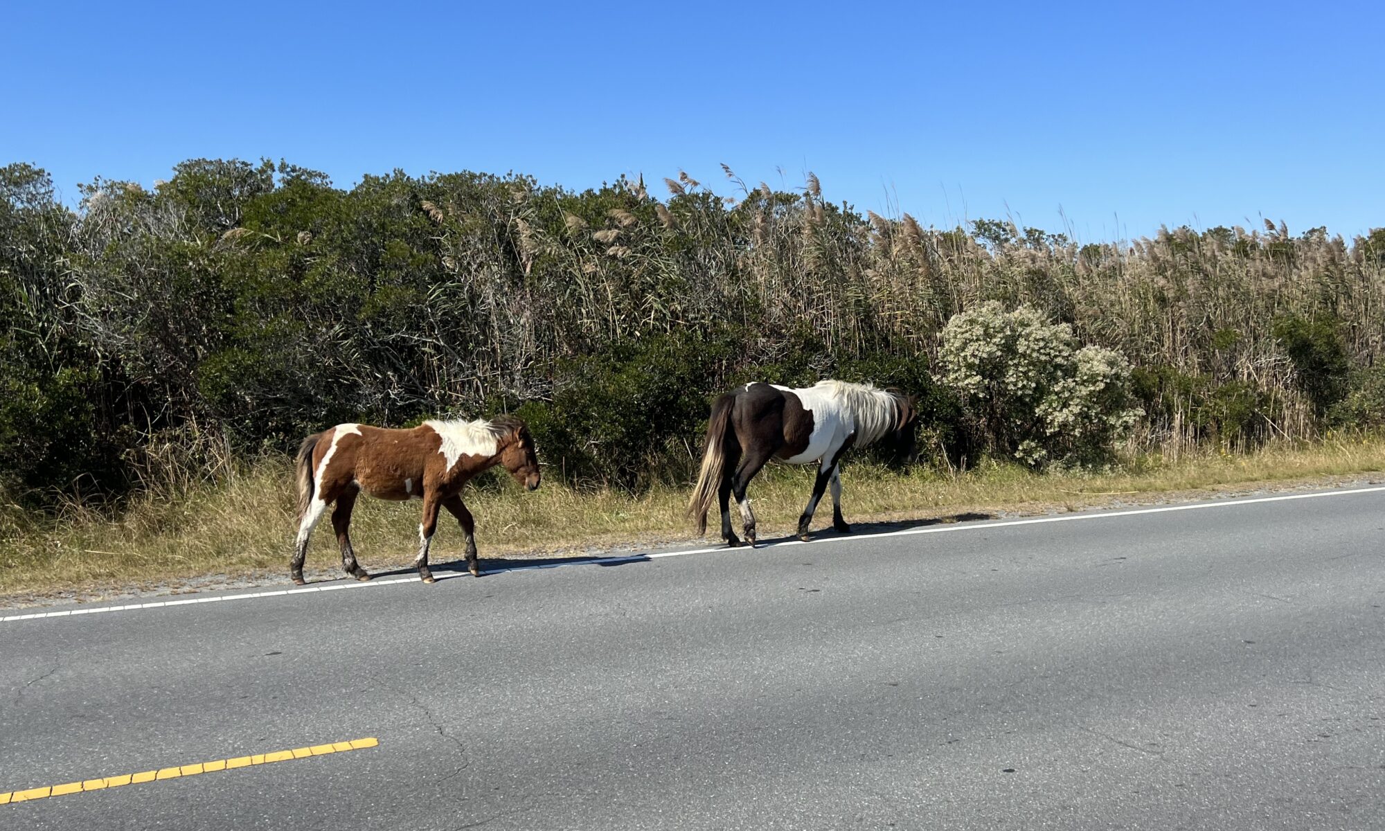
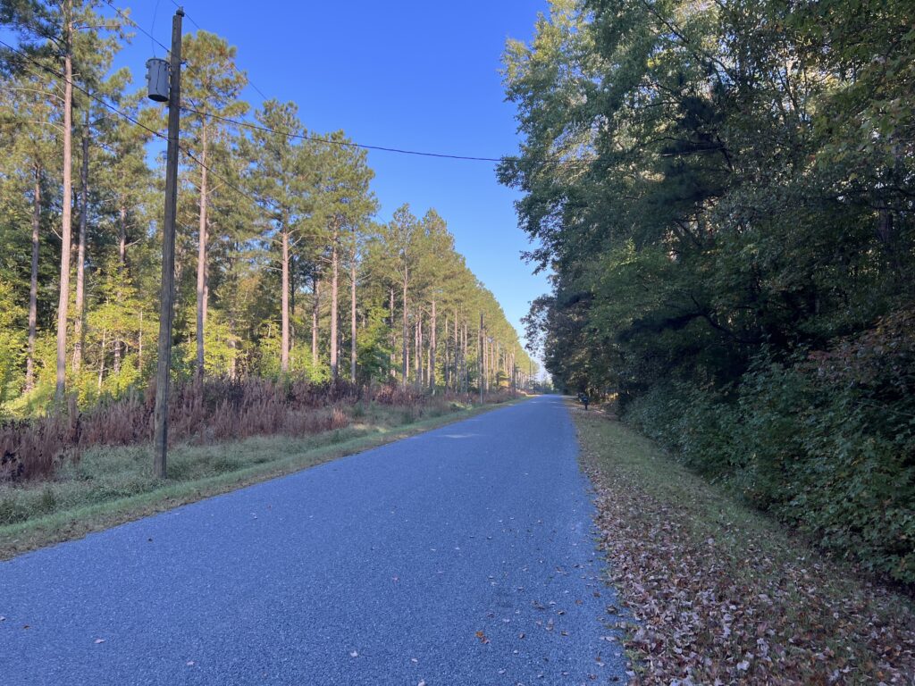
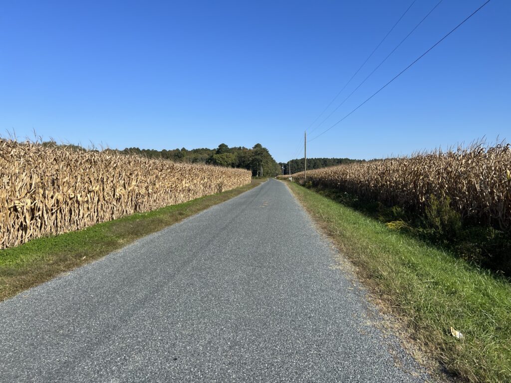
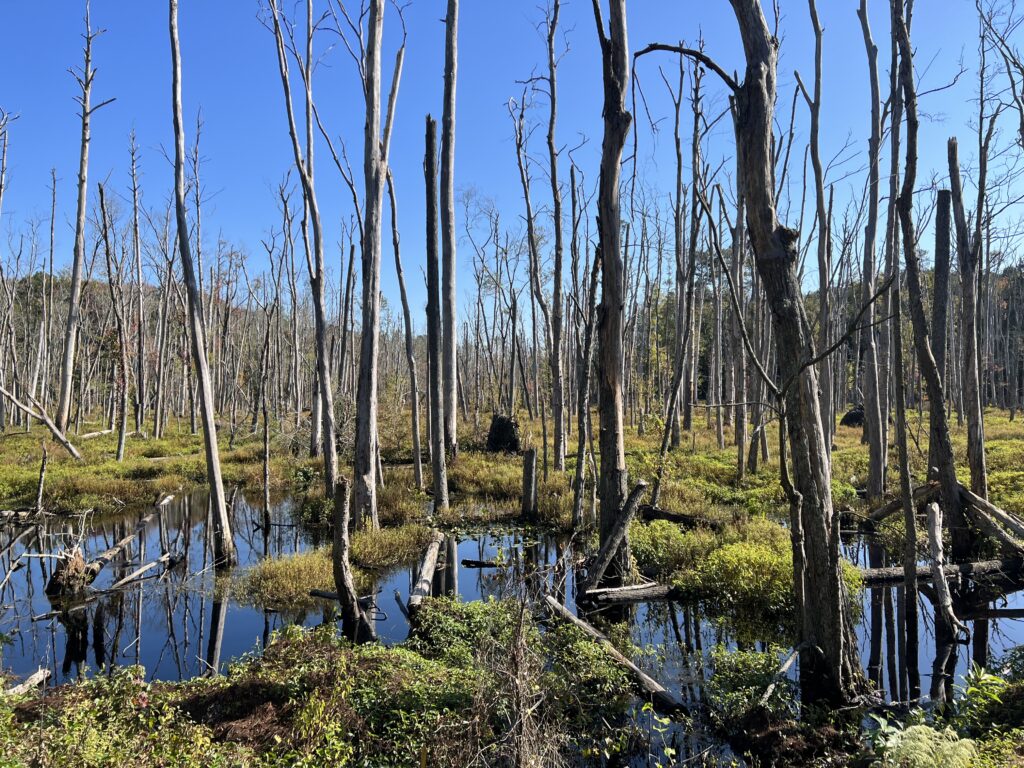
The new route featured many more miles in the country. The roads were “heavy” (chip and seal) and my speed was slow. Once out to Berlin, it was the same run into Assateague Island. A park ranger told me 3-4 years ago that for his event they try to move all the wild horses to the south end of the island to avoid the crowds of cyclists.

Assateague Island Hill Climb

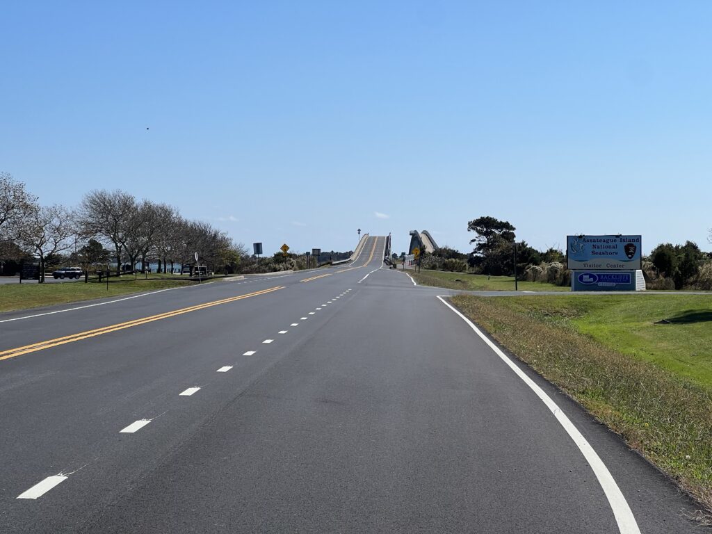
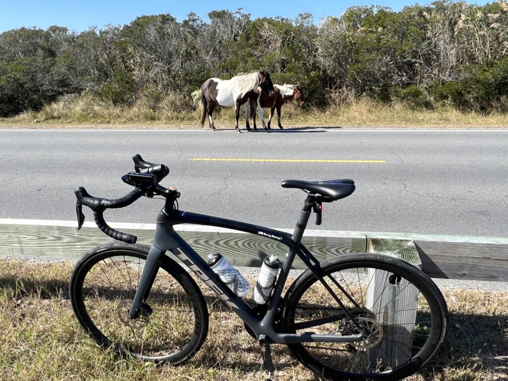
I did not stop today at the Maryland State Park which is where the main lunch rest stop is for the SGC. Instead, I turned right to go to Assateague Island National Park. I have a pass to get me in. Before I reached the entrance I came upon three horses grazing. I said hello, took a photo, and then headed back.

Assateague Island

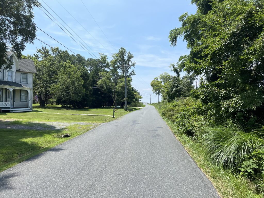
There was one small change from the past years’ route. Instead of following Sinenpuxtant Road today’s route was to follow Assateague Road back to Berlin. That saved two miles and at that point was probably just to shave miles since the new route was already over 100 miles in length.

Assateague Island. Watch your wheels.

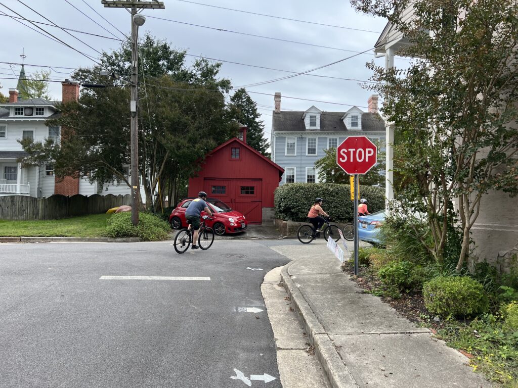
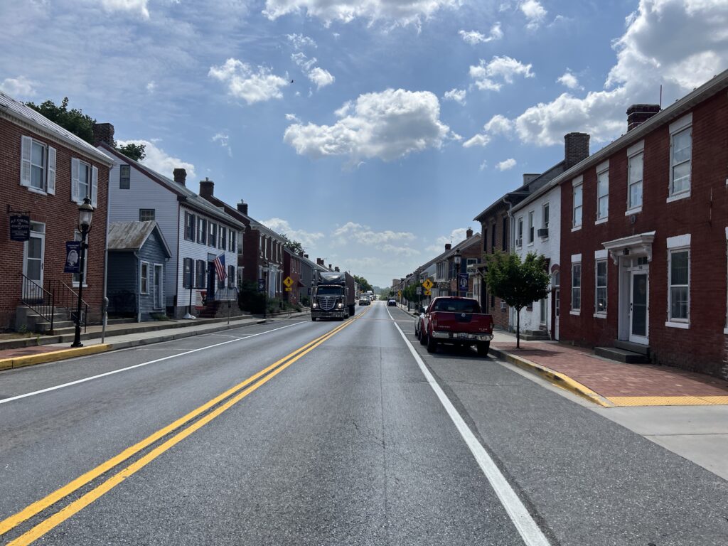
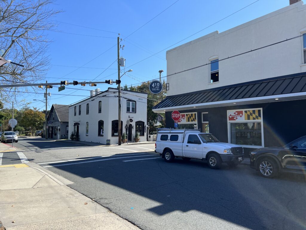
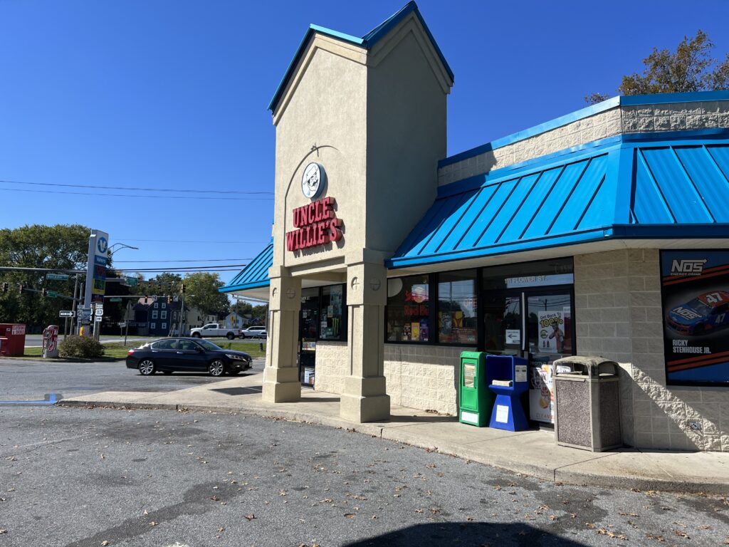
I had decided to get something to eat in Berlin. I was thinking the convenience store called Uncle Willie’s. But when I arrived the clientele hanging around outside did not give me a good feeling about leaving my bike behind while I went inside to make a purchase. I continued on.

Uncle Willie’s

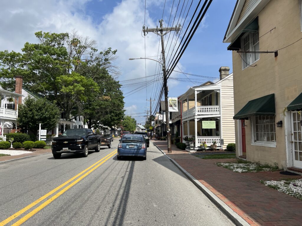
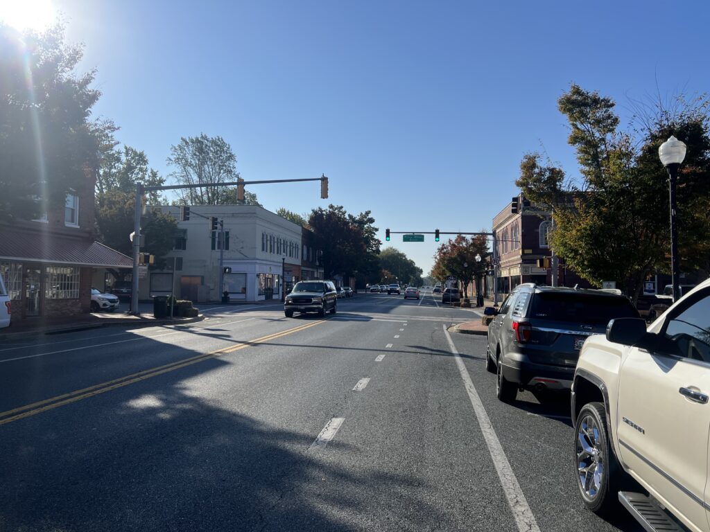
The SGC route takes riders around the beautiful downtown in Berlin but I chose to ride through it. I found a burger place and then made a stupid decision as I usually do when I am tired. I decided that time was more important than food and would just roll on to the end. I had less than 50 km to go.

100k to go. This was a milestone today as I felt sluggish all day.

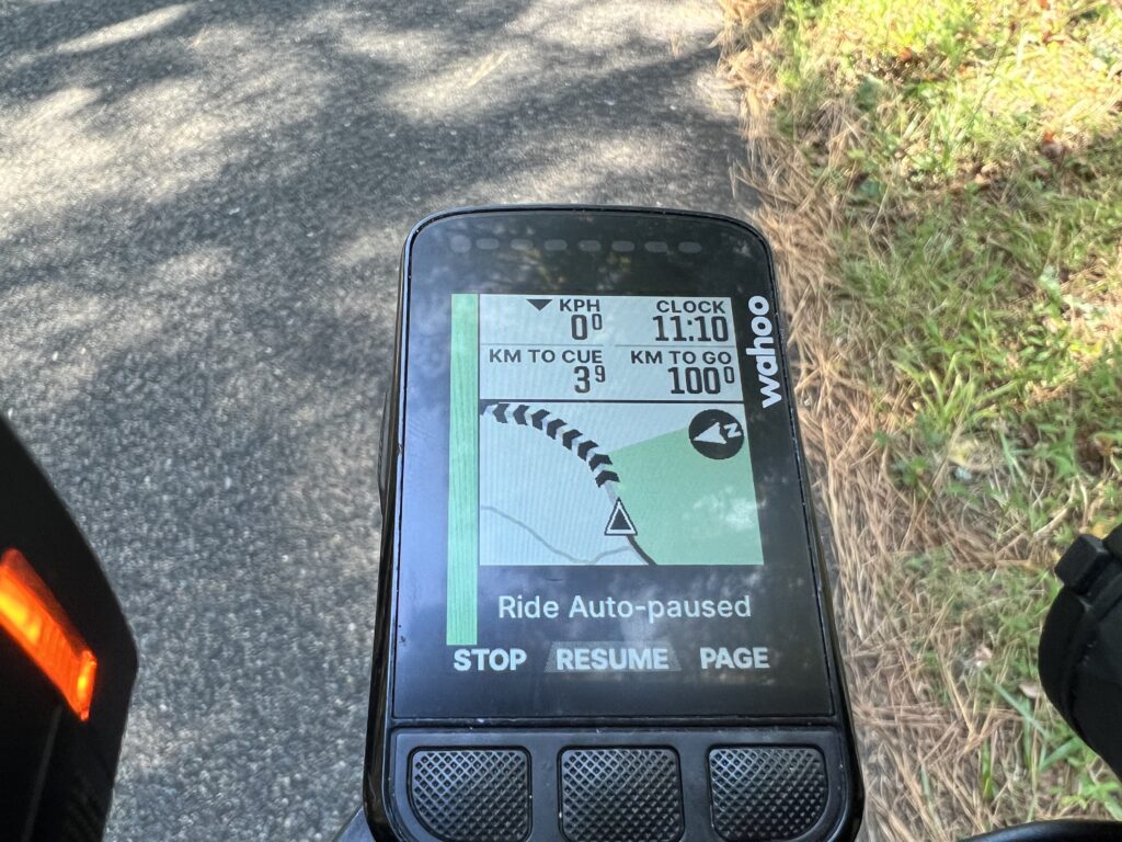
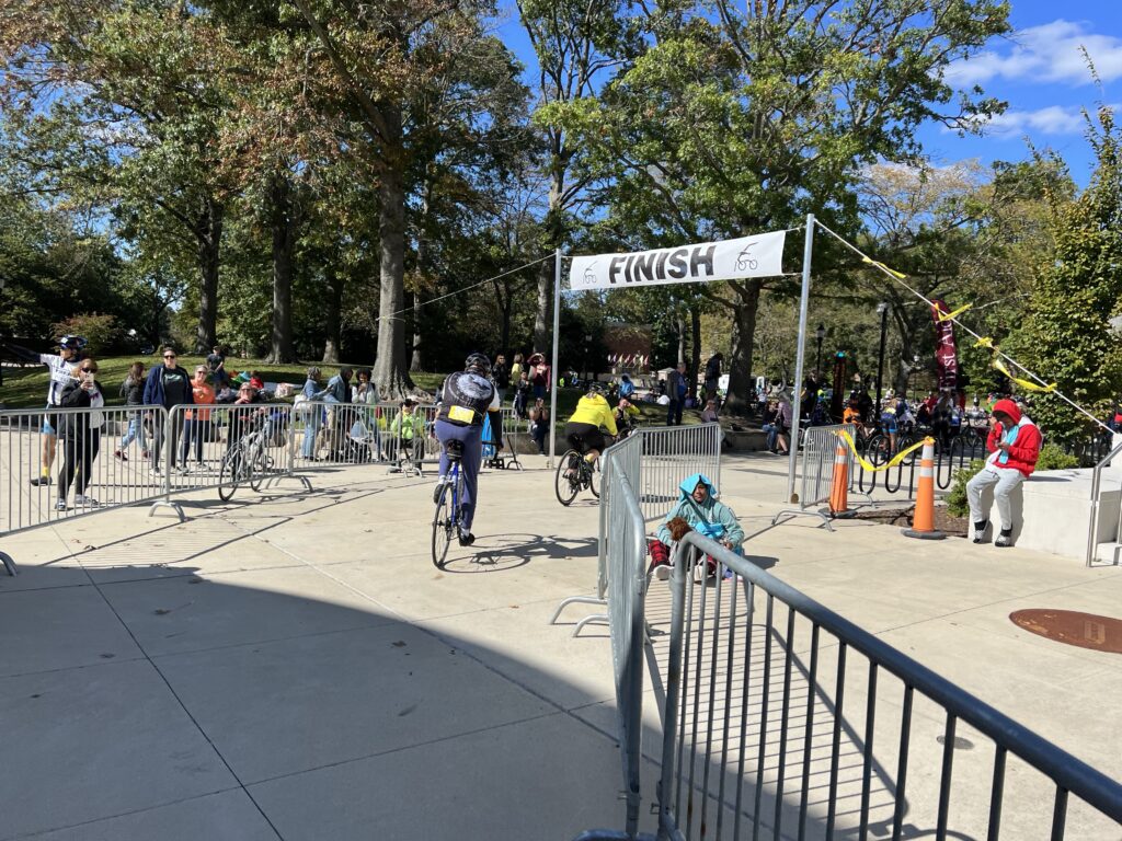
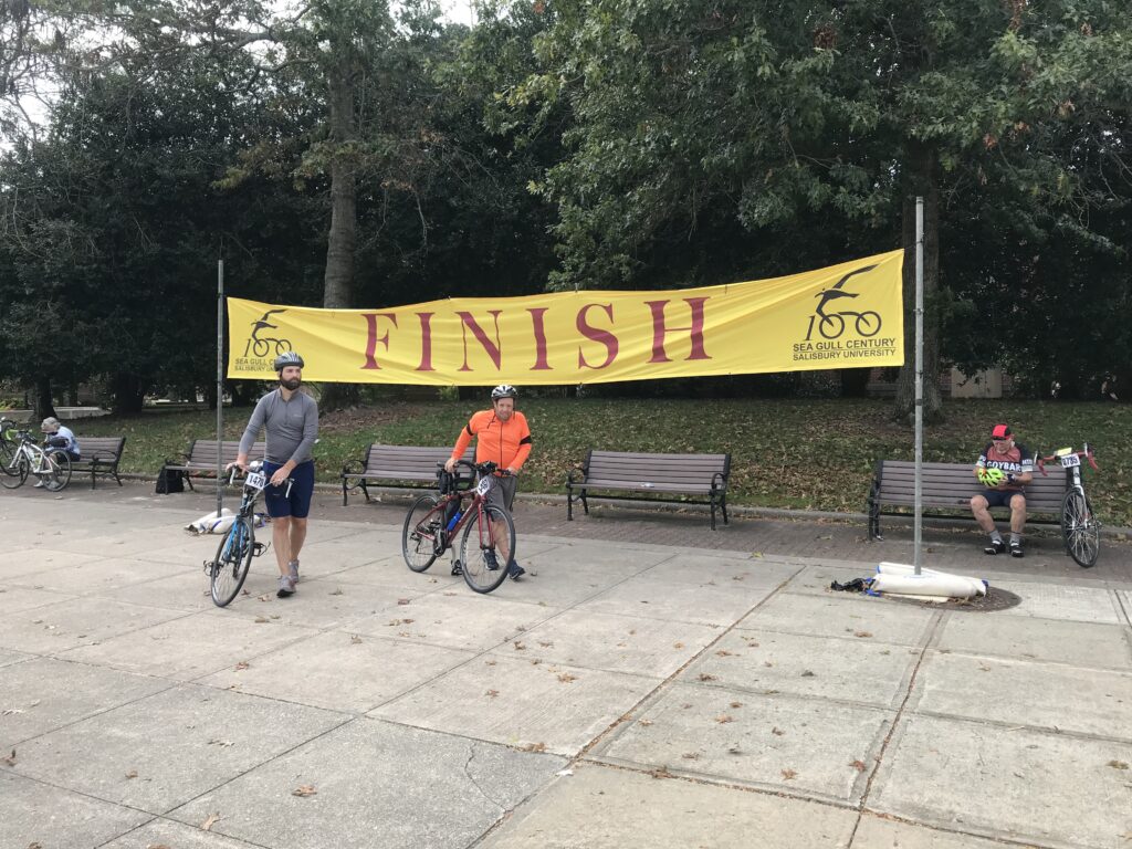
As I got closer I was feeling very sluggish. No power was coming from my legs. I was just pedaling – maybe pedaling squares in cycling parlance. With 12 km to go I turned off the route back to the college and changed it to route to start. I didn’t need to go to the college on my bike. That could be sketchy too to leave it outside unlocked.

Assateague Island. Looking at the Atlantic Ocean.

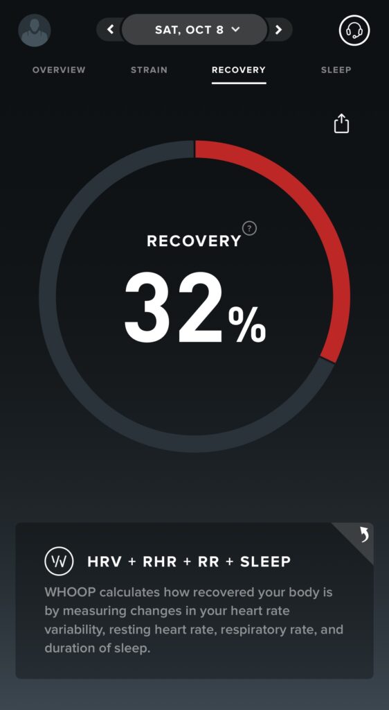
I headed back to the Hampton Inn. I hadn’t been tracking average speed and even if I did, I display it in kilometers so I wouldn’t know what my goal was. But when I uploaded my ride to Strava and saw my average I was disappointed my speed wasn’t higher. But I was bonked.


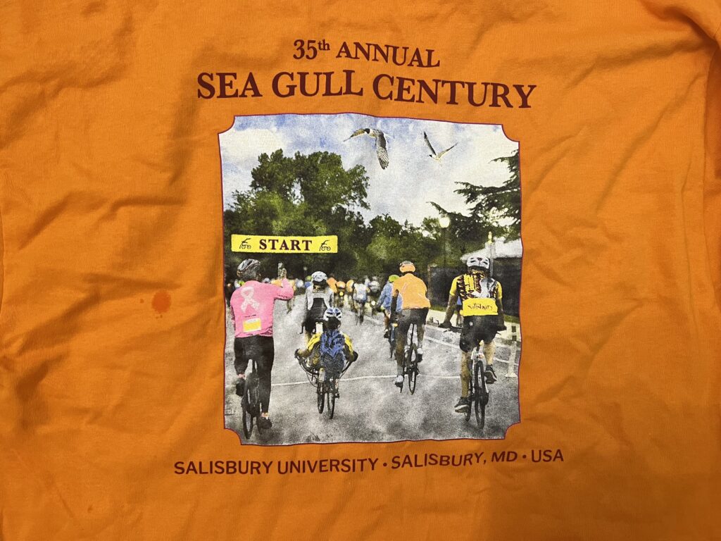
THE FUTURE: “Never say never. But never.” (Mike Tomlin). I’m not saying I will never do this event again but doubtful. Of course, this would change if a friend or friends are going and want to ride in a group. Last year for $100 (?) I got a T-shirt. And a bagel. I acknowledge that free snacks and drinks are available on course at four places but I typically don’t take advantage of them.

Swag

If I want to stay in Salisbury the hotels are much more expensive the weekend of the SGC if you can reserve one. In my case, the Hampton was $82 more per night (tonight vs. Thursday night). A better route for me is a solo ride starting in West Ocean City and riding to Salisbury, saving Assateague for near the end. I always like building towards the big crescendo.

Windsock. Lots of red (wind in my face)

It’s a fun ride. A flat but windy course. But I don’t need the event to ride. I doubt that I will come back specifically for this event. But never say never.


Working on the Chain Gang

EASTON, MARYLAND

“That’s the sound of the men working on the chain gang”

The lyrics of the 1960 hit song by Sam Cooke reverberated in my head as we rolled down the road with me out in front with my nose in the wind. I have been on many group rides where a pace line is simply one person at the front and everyone else drafting. They may pull for 3-4 minutes or 10-12. And often it only ends because the group has to stop. And today looked like I might be that guy.

Rolling through Easton

I have often wanted to organize a “chain gang” pace line but the opportunity did not present itself with the exception of one brief time in Florida on a cancer charity ride. These are hard to organize because of the roads we ride or sometimes the composition or size of the group.

Rolling through Easton

The weather in Warrenton, Va. today scrubbed my plans to ride to see my grandson play baseball. It rained off and on all day in Warrenton for his games. I would not have enjoyed a 70-mile ride in the rain. But our local club had a field trip to Easton, Maryland, which is one of my favorite rides.

Rolling through Easton

Our leader was Michele who is known for starting rides promptly as advertised which I absolutely love. And she is known also for leading a ride, that is, riding at the very front. I had not responded that I was going to join the ride because it was a spur-of-the-moment decision made this morning when the weather was bad in Virginia but nice in Maryland. I arrived at 9:15 a.m. and Michele was surprised to see me. Heck, I was surprised to see me.

Rolling through Easton

I started my Wahoo bike computer and brought up my route for the Tilghman Island Metric which I have ridden multiple times. I love riding on St. Michael’s Island. I did not have the specific route they were riding because I didn’t need it although it would prove to be a little bit different.

Rolling through Easton

It was 9:40 a.m. when we rolled out, 10 minutes later than the group’s posted start time. I chided Michele about always being prompt and she told me she gave a grace period for a “field trip” ride. I chuckled. She made a couple of announcements as we were rolling with two groups and then said I would be leading her group. Just as we were starting to roll my Wahoo shut down. I told her that because of the downtime, my computer went to sleep so I’d catch them after a reboot. We’re all data geeks and I couldn’t roll out and miss one or two kilometers waiting for it to turn back on.

Rolling through Easton

They took off into Easton. I saw them make their first turn and they disappeared down a street. Once Wahoo “warmed up” and was ready to go I took off to catch them. It was a different route than I have taken in the past but I was confident I would find them. I did, bypassing them on a side street and then waiting for them at the next turn.

Rolling through Easton

Our route was farther north than the main road to Saint Michael’s I have always taken. We were on Glebe Road. It was better since it was rural and didn’t go past the Target and BJs shopping center on St. Michael’s Road. When I have ridden this loop my mileage was 60 miles so if one wanted 62.14 miles, a metric century, this extra addition would probably do it.

St. Michael’s, Md.

Michele was leading the group in a line and I rode up beside her. We rode double for a little bit and then single-file with me at the front. And we rode one group off the back. We waited for them at the next turn.

I was on the front to St. Michael’s when Michele called for a stop to wait for our second group on the road. We stopped but then decided we wouldn’t wait and try to ride as a large group even to our predefined split. Our group had eight riders and we went through a residential area of St. Michael’s and avoided the main street through town.

The end of Tilghman Island. Chesapeake Bay.

After going through St. Michael’s and back on the main road, Highway 33 or Tilghman Island Road, we had a wide shoulder. I had been doing almost all the pulling along with Michele. We had passengers. And I wanted to break it up.

In cycling, a chain gang is a group of cyclists in a close-knit formation of two parallel lines drafting behind the leader. The formation comes from the fact that it is harder to cycle at the front of a group than in the shelter of another rider. The rider behind enjoys the slipstream of the rider in front. The motion of the formation is such that the left line is always passing the right line.

Tilhman Island Country Store

Better than most groups we had settled into a double-pace line. Two people would take their turns pulling at the front, usually 3-5 minutes, and then they would peel off. This would work if it could be done safely. But we were on a shoulder next to a two-lane main road. The person on the left would have to move to their left which meant crossing the white lane and into the traffic lane on the highway itself. Ideally, the person on the right would peel off to the right and drift back but there was no room. So they too made their way to the left crossing in front of the pace line to the highway. This was not ideal.

Donkey Donut – Sprout Cafe

John and I were sitting on third wheel when one rider decided he was going to pass us and go up to the front. He passed in the center, very close to John, which was a very dangerous maneuver. Just as we avoided a mishap, a second guy followed him. Wow. This was a sketchy group. Or a ride with some sketchy riders. I wasn’t sure about a double pace line.

Michele had mentioned to me that I might want to try and teach a chain gang formation. And the opportunity was right. I told John that when he and I got to the front we would start a chain gang rotation. We did not stop to explain to others but started this while riding on the shoulder. I knew three of our riders, Michele, Sunny, and John. And I knew I could trust them. The other four guys I wasn’t sure about as I had not met them before. But we had to do something different than passing each other in the middle of a pace line. We would have to try this and see.

Oxford Ferry

It was our turn. We were rolling along at 18 mph. I told John to slow down a little (17 mph) and let me pass in front of him. I moved over and Sunny, who had been following me, moved up to take my place. I slowed down to 17 and told her to pass me at 18 mph. She did.

Oxford Ferry

In the back, we tried to instruct the last person on the right to move to the left. We knew we had varying degrees of experience. Some may have been ex-pros, who knows? But some also may have had very little group riding. A couple of guys got to the front and “attacked” to pass, ramping the speeds up to 21-22 mph. This, of course, was not the purpose of a steady line.

Call for the ferry

And we had a couple of guys that when they passed and moved to the right they kept their speed. Actually, they even increased their speed. John seemed to have been the victim of this tactic more than others. I picked the wheels I wanted to follow and it was my friends, Michel, John, and Sunny. They picked it up quickly.

Oxford Ferry
Credit: PWCC Facebook (Orange Pinarello)

John held 18 mph. When the rider in front of him moved to the right and kept it at 18 John kept it there too. He would hold his pace as long as it took for the right side to slow down to let him in. If they didn’t, they would be riding on the front and not rotating. The great thing about the chain gang is that it is self-correcting. As we rode the 11 miles towards Tilghman Island the pace line got better.

Onboard the ferry

We arrived at the draw bridge as the bells were going off. The bridge was opening. Seven of us hurried across the open grate segment while Sunny wasn’t sure if she would have to bunny-hop an opening in the bridge. She made it.

Tilghman’s Island

We rolled to Tilghman Island Country store and stopped. Most riders bought sandwiches. I wanted to roll on as I prefer to eat after a ride. Once everyone was fulfilled we rolled to the end of the island and turned around at Sharps Island Light. After crossing the draw bridge again, we formed our chain gang and rolled the 11 miles back to St. Michael’s. The time flies by while in a line like this.

We stopped at Sprout Cafe in St. Michaels for another snack. Another break. Then we went to the bike trail that bypassed the town. The main road had a narrower shoulder so we rode single file to Royal Oak Road towards the ferry. And while it was a country two-lane road, there were signs for bikes to ride single file. Ugh.

On the ferry

We arrived at the Oxford ferry at 1:30 and did not see it. There was a sign for bikes to go to the end of the pier to raise the call signal if the ferry was not there. Michele gave the ropes a tug and opened the sign board. It seemed to take forever but the ferry arrived at 1:45.

Scottish Highland Creamery

In Oxford, we went down to the Scottish Highland Creamery at the waterfront but it was closed. Although they opened a new storefront on Main (Morris) Street, we rolled past without stopping. Although I always want to stop there, with the stop at Tilghman’s Island and another in St. Michael’s, plus waiting 15 minutes more for the ferry, I was fine with rolling towards home.

We left Oxford and the road presented itself once again for a chain gang. Wide shoulders and little traffic. The last 10 miles flew past. The group dynamics really improved and everyone eventually got the hang of it. In all, we rode 32 of the 62 miles using a chain gang. It was one of the best group rides I have done in a while.


Maryland Cycling Classic

PARKTON, MARYLAND

This was the second year for the UCI race and I had to decide whether to volunteer or to go and be a spectator, a.k.a., fan boy. I chose the latter.

Tractor showing off on course

Last year I volunteered and it was chaotic. I’m still not sure if I went to the right location to be a course marshal. Communication to the volunteers was awful and I did not give them a second chance. This year I went as a fan.

5K to KOM

My location last year was on a corner at Prettyboy Dam Road and Falls Road and I found parking right beside the corner at Bushland Road. I drove back to the same spot.

KOM

I had mapped out an outer loop that would take me into Pennsylvania and an inner loop that would simply circumvent the Prettyboy Reservoir. I miscalculated the amount of time to drive to northern Baltimore County and did not leave myself enough time to ride the outer loop. That was okay. In a perfect world I was going to ride the longer route before the race went by and then the shorter one after the race passed.

My perfect artwork

When the course hit the Prettyboy loop they would pass by my location twice as they also would ride the inner loop twice. I thought that was the best place to be without being on a long steep climb.

The view on TV – I am standing on the left in what appears to be black

I left my car and rode one mile on Prettyboy Dam Road when I realized something was amiss. My radar wasn’t displaying on my Wahoo head unit. That was because I forgot to put it on my bike. I never ride without a helmet and rarely ride on the road without my radar light. I went back for it and started over.

Team EF Education First – EZ Post (in pink)

I then only had time to take the short loop. It is hilly and is used by the race to start to break it up. As I came upon an intersection at Beckleysville and Gunpowder Roads I saw the large MDOT trucks and wondered if there was a construction job nearby. Then it became apparent. The trucks were there to block road access and they were blocking me from going through. I told a Baltimore County cop that I needed to get to my car that was parked down at the reservoir and he waved me through.

I went up the KOM climb thinking all along at the Tour of Denmark they call it they KOH, or King of the Hill, because they don’t have mountains. Maryland does, but not in Baltimore County. You have to go to Western Maryland to Garrett and Frostburg to find mountains in Maryland. It was nice to see the people gathered here to cheer the riders for King of the Hill.

Second lap

I descended to the dam and entered the green zone. This was in conjunction with a feed zone and was where riders could discard their trash. But if they were taking on fresh bottle or food in a mussett, this is where once they have the items in their pockets or on their bikes, they discard these as well. A mussett would especially be a nice souvenir.

Toms liked it – that’s all that matters

The crowds were starting to assemble in the feed zone. But crowds here were nothing like in Europe. Maybe 50 or 100 people or so. Still, I wanted some place were I could be alone.

The hill coming out of the reservoir was perfect. I had carried some yellow chalk with me ans stopped to write T-O-M-S on the road. This was for Toms Skuijins, a Latvian rider and one of my favorite riders in the peloton.

Last year Toms was at the front of the breakaway when they went past. Today he was in the pack but would breakaway aftewards. He was in a solo break but caught and passed bu his teammate, Matthias Skjelmose, on his way to victory. Toms took 5th.


Mattias Skjelmose (Lidl-Trek) won in a dominant fashion the second edition of the Maryland Cycling Classic in Baltimore on Sunday. The Danish champion attacked from a five-rider front group inside of two laps to go and crossed the line with over two minutes on the chase group.

The first major selection in the tough race, made even more difficult by the hot temperatures, came with 65 miles of the 121 mile race to go as the field splintered leaving around 35 riders in the front. More aggressive racing led to a final group of six battling for the win on the first of four city circuits. The group also included Toms Skujiņš (Lidl-Trek), Hugo Houle (Israel-Premier Tech), Neilson Powless (EF Education-EasyPost) and Lucas Hamilton (Jayco-AlUla).

Using team numbers to their advantage, Skjelmose and Skujiņš launched multiple attacks until the Latvian managed to get free in the final 20 miles. Skjelmose waited for his moment to make his countermove when his teammate was reeled in and left everyone behind.

Powless launched his sprint with 200 meters to go to take second place, ahead of Houle. Hamilton finished fourth and Skujiņš, held on for fifth. (Source: CyclingNews.com)


NOTES: Forget sticks of chalk. They actually make a spray chalk. There are a number of roads around the reservoir that beg exploring on a bike. If I go back be sure to map these roads. And wear a potato costume for Toms.

When the Magic Happens – Sea Gull 2022

SALISBURY, MARYLAND

Last night I stayed at the Hampton Inn & Suites, West Ocean City. I was asleep at 10 p.m. hoping to get a full eight hours before getting up at 6 a.m. I was most interested in my Whoop Band recovery score which seems to always be poor before a big event.

Assateague State Park

It did not disappoint. Yesterday I did an easy 22-mile ride in Easton on the way here. I didn’t want to not ride at all and this short ride would not stress me. My Whoop score for the ride was an easy 13.0.

I went to breakfast at 6:30 a.m. I sat down to eat and then looked at my recovery score. It was only 31%. I was already in the red. That signifies that I have not recovered but not riding was not an option. Riding and sucking would be.

Whoop Recovery score before the ride. This is not good.

I knew no one who was riding today but hoped to see some riders from the Blair Cycling Club (Altoona, Pa.). I used to see them but haven’t for 3-4 years so either we don’t have good timing or they no longer come to this event.

The weather was cool. It reached 80℉ (26.7℃) yesterday and I certainly hoped for more of the same. But a cold front came in overnight. It was 55℉ (12.8℃) at the start. Despite a brief appearance of the sun at the rolling start, it was gray and windy.

I didn’t want to be fixated on speed. I removed the speed display from my Wahoo. And I switched the units from miles to kilometers. It’s different. They go by faster than miles but to see “164 km remaining” on the head unit at the start was sort of daunting.

The sun peaked out for a minute at the start

I wore my red Roosters kit, arm warmers, and a vest. Many riders had knee or leg warmers. Even spotted some with balaclavas. I started riding and passing people. I should have been mindful of riding the first third easy, the second third normal, and having enough to finish strong.

Instead, I had a tailwind and took advantage of it. I was passing many riders and passed a guy on a blue bike. I noticed that he picked up the pace and followed me. He never quite sat on my wheel but I knew he was behind me. Eventually, he came beside me and complimented me on my pace. Then he added that he hoped I didn’t mind him “hanging back here because I kept a great pace.” Ha! After a compliment it was OK.

Rest-2, Newark, Md.

About 10 minutes later, a guy wearing a Marines jersey came flying by, followed by two riders. The third rider was the guy that had been following me. I jumped on. We went a mile or two when the guy with the big engine pulled off. Apparently, he thought he was pulling friends and asked “Where are they?” And then he sat up.

Crossing the Pawpaw Creek

The second guy took a turn. When he pulled off he dropped too. I then followed the guy who had followed me for so long. That was fair. We came to a Live Segment on Strava and I wanted to set a PR. But not by sitting on. So I moved to the front and pulled him to the end. I got my PR. We turned the corner and he was gone. Damn.

Snow Hill, Md.

I came to Rest-1 at MP23 in Snow Hill and kept going with a brief foot down because of the foot traffic. There was a group there called Heavyweight Cycling. Most were big guys. I asked where they were from and was told Raleigh-Durham. I never saw them after the stop although they were motoring before it. Pretty cool kits.

Chincoteague Bay

In Newark (MP42) I kept going through Rest-2. The location changed from last time. I did not see if it was a water-only stop or food. Actually, I put a foot down and opened my second pack of Energy Chews. I ate a couple then took off.

Chincoteague Bay

It started to rain. It was more spitting than anything. But it was gray and windy and I thought if I’m getting soaked then I will look to turn this boat around. I’ve ridden this event enough times to know that I don’t need to. The roads were wet but the rain didn’t last long. Actually, my kit wasn’t even wet. The gray soon gave way to sunshine.

Train station in Newark, Md.

It was a nice run into the state park at Assateague. The port-a-johns were busy. I went for food. I took a bagel. One bagel. Then I turned my nose into the wind. It would be a 30-mile headwind.

The Verranzano Bridge at Assateague Is.

My goal, if I had one, was a six-hour century. I would need to average 16.7 mph. I had no clue how I was doing because I wasn’t displaying speed. And if I did, it was in kilometers so that may or may not have been useful. But I knew this. When I came through Berlin I knew I had 30 miles or so and probably two hours and finish by 2:00 p.m. – and that would give me a 6-hour century including stops.

Assateague Island

At 1:00 p.m. I had 27.5 km remaining and I figured I would finish by 2:00. As I came to Rest-4 at Adkins Mill (MP83) I rolled through.

Food tent at Rest-3, Assateague Is.

I also knew then that I was screwed on nutrition. One bagel is all I grabbed from four rest stops. No fluids. After the ride when I checked, I had consumed slightly more than one bottle of fluid over 100 miles.

Rest-3 at Assateague Is.

I continued on. After going through Berlin, a larger group went by and I started to go with them. But this was a solo ride. I passed two accident scenes with a cyclist down. Both were in groups. I don’t know these people but I know they are not professional bike handlers. It wasn’t worth it riding in the big groups that form on this ride.

Muscrat Love. I see this guy almost every year.

I found a side road outside of Berlin to go down and have a nature break. As I got back on the road a group of Major Taylor Cycling Club riders went by. They were going just a little faster than me and I was drawn in. It was easier than fighting the wind.

The horses on Assateague. They were the only ones I saw but I saw some.

Not sure how long they were together but there soon was a split with half the group riding off the front. Since I was a passenger in the back I was caught out by the split. The new group was slower and smaller.

Salisbury cheerleaders at the finish

It was here that my ride changed. Every year I have done this ride there was something special about it. The first couple of years I met and rode with some riders from the Blair Cycling Club (Altoona, Pa.). In 2018 I met Sandra. She had been dropped by two friends and I basically towed her the last 60 miles. Then she left without saying goodbye or thank you. In 2019 I met Andrew & Staci, two cyclists riding their first Metric. There was always something magical but not this year. Not in 2022, nothing.

I rode solo most of the day. I was reflecting on this may be my last Sea Gull. There was nothing special about this ride. Around M90 we passed a young lady struggling. By struggling I mean she looked like she was capable of going faster but was pedaling squares.

I was at the back and I told her that she would do well to hang with us. She thanked me and she jumped in. We were in twos at that time so she was on the back with me. Sarah* made it a mile at pace but then tailed off. I quickly decided to drop with her.

Brief convo – “Have you done this century before (not have you done a century before)?” And Sarah told me this was her first. I knew then I would help get her home, if not at a great pace then at least at her pace. Although we rode side by side a little bit, I mostly tried to have her follow my wheel as we were into a brutal headwind (last 30 miles). I never could get the pace right as she kept losing my wheel.

But for the last 10 miles we talked and I encouraged Sarah. Some of it was cycling. Some of it was just about life. This may have been the best I felt towards the end of a century but it was nice for me too to have a diversion. She made it and I was as proud as she was. (But she refused to ride an additional 25 miles with me.)

The Finish

For a ride that had nothing for 90 miles, just being able to help Sarah gave my ride meaning. It was a great Sea Gull Century.

Windsock Direction of Wind

As for those additional 25 miles. I love the Oxford-Bellevue Ferry. I rode it yesterday on my way to Ocean City and thought that after the Century I would stop there on the way home. The reason was two-fold. First, this would be my last planned ride in Easton, Md. for the year. And second, I wanted to see how my body would respond to 125 miles. Even more, how it would respond to 25 more after riding 100 with a little break (driving).

A boat in the Tred Avon River, Oxford, Md.

I drove to Oxford and parked at the dock. I started riding and I felt good. There was no sluggishness in the legs. As I headed toward Easton I saw I was seconds off my best pace but could not lift the pace anymore. So the legs felt good but I really couldn’t dig much deeper.

I then had this fear. I would miss the last ferry. I saw a sign yesterday that it was at 6:15 p.m. I would have to ride hard the entire way. If I missed the ferry I would have to turn back and the 22-mile loop would be a 44-mile ride after the Sea Gull. And I would be pushing darkness.

Crossing the Tred Avon River

When I got to the last three miles I was rolling. I came in 1:00 faster than my previous PR. I had already been designated the “Local Legend” of the “Bellevue Breezeway” with four attempts in the last 90 days. This would be ride number five.

The Talbot, Bellevue, Md.

I got to the ferry as it was coming in. I wanted to think I made the last ferry of the day but after I disembarked I saw it make another trip to Bellevue.

The Talbot

I’ve been riding well and finished the Century with a 17.9 mph average. Maybe better, I didn’t have a drop off in my last 22 miles as I finished the loop with an 18.1 average. Overall, I averaged 18.0 on the day. Very well down (pat on my own back here).

A proper way to finish 125 miles

Maybe most importantly, this Sea Gull had a purpose. Maybe I’ll return. You never know when magic will happen.

End of a long day. Chesapeake Bay Bridge


DISTANCE: 125 miles
SPEED: 18.0 mph
WEIGHT: 176 pounds

Maryland Cycling Classic

SPARKS, MARYLAND

UCI World Tour professional cycling returns to the U.S. This was the first race in three years held on U.S. soil. Welcome to the Maryland Cycling Classic.

Velocinno

I wanted to be a part of it so I volunteered as a course marshal. There were two, maybe three, time slot options to be a volunteer. I signed up for the early one which was 1:30-4:30. I knew that would place me in Baltimore County somewhere. I did not want to be assigned in the city – too much commotion and unsure where I could park then ride to my assignment.

Farm country

As the race date drew closer so did my frustration with the lack of communication from the organization. The signup form had an auto response which gave no useful information. The first email communications came on Sunday, August 28 which was just one week from the event.

Metal plate bridge

I would have liked to have known in advance about the charity ride held yesterday. I found out about it when the volunteer information was sent on Tuesday, August 30. Since most volunteers are probably cyclists, it seemed to me that this info should have been disseminated immediately, even if just in the auto-response.

UHCCF Bridges of Hope Ride, presented by Kelly Benefits

Although, with a very high fundraising threshold ($500) and a deadline that had already passed, it meant that your credit card would be charged for the full amount if you signed up. I decided against doing the charity ride. But I would find the route and ride some of it, especially for the parts that overlapped with the pro circuit.

Riding the route would give me an idea of what the pros would be riding. Plus I could swing by and pick up my volunteer materials. And hopefully, I could see where I would be a course marshal.

Prettyboy Dam. The surface is brick.

We had Zoom training for volunteers. I did mine on Tuesday, August 30. We were told our assignment posts would be sent shortly but nothing came.

Prettyboy Dam

Volunteer swag was a T-shirt, water bottle, and some other items. Volunteer check-in was Thursday in Baltimore, Friday in Hunt Valley, and Sunday in either location. I really did not want to make two trips to Baltimore. But I didn’t know where my assignment was either and without that information, I didn’t know if I could check in on Sunday and still get to my location. So I went on Friday to check-in and to go for a ride.

Volunteer materials

I looked at the 50 km and 100 km routes for the charity ride and then designed my own 61 km (38 miles) route. I checked email and text for my volunteer location up until the time I arrived at Velocinno. If I knew where I was going to be I could ride to the location and check it out.

Nothing came in until 12:36 p.m. on Friday. I was just about finished with my ride. This was virgin riding territory for me. Intersections meant nothing to me until I was able to open a map.

I parked right across a creek from Velocinno at a fire station in Sparks, Md. It looked like a neat bike (and coffee) shop and a rider today told me it was the cycling center for the area. Although I had to ride on Falls Road / Md. Rte 25, it was only for about 200-300 meters before I turned onto a metal grate bridge. And just like that, I was in the country. At first, I was on rolling roads but those soon gave way to hilly. There were no flat sections.

Falls Road General Store at Falls Road and Mt. Carmel Road

It was pretty. Northern Baltimore County looks a lot like southern Pa. I was just 5.5 miles from the Pa. state line (by bike, maybe 4.5 as the crow flies) and the race got within one half-mile of Pennsylvania. Much of my ride was around Prettyboy Reservoir. There were two bridge crossings and one dam crossing. I was hoping for more water views but much of the time the roads were in a forest.

Crossing Prettyboy Reservoir

I was on Sparks Hill Road, a climb on the Reservoir Loop. I wasn’t going hard but I certainly wasn’t inching my way up. Almost out of nowhere came a rider sprinting past me. I recognized the kit of EF Education First-EZ post. I suspect it was Daniel Arroyave Canas, a rider from Columbia.

Two EF Education riders going up the road

After a descent around a corner of the reservoir, Sparks Road kicked up again. This time my radar showed I was being approached and I glanced back and saw four riders from EF Education First. I grabbed my phone to take a picture and as they came by, riding not much faster than me, one called me by name. I suspect this was Nielsen Powless.

Passing me on the climb

At the top of the climb, their team car was pulled over and all seven riders stopped. It didn’t look like the right time for a photo op although I stopped and put a foot down to take their photo.

Magnus Cort-Nielsen just to the left of the team director, Tejay Van Garderen (in black)

I didn’t hang around but took off and enjoyed the descent to the Prettyboy Reservoir dam. It is quite an impressive structure and I slowly went across it. After snapping a photo of the dam itself I was surprised to see four of the EF Education First – EZ Post riders come rolling across the dam.

Magnus Cort-Neilsen gives me a thumbs up as the team rolls by

My fun done for the day, I was ready to stop. It was hot, around 88℉ (31C). And although I was only at Mile 30, I was starting to feel the effects of the heat and the constant ups and downs. The last four miles would be all downhill so I did something right.

Prettyboy Dam

When I finished I got a text with my assignment. If this had come 60 minutes earlier I could have scouted it out. Oh well. I drove to Hunt Valley to pick up my T-shirt and then made the two-hour drive home.

Prettyboy Dam

It wasn’t until Friday at 7:30 p.m. that an email came in with our assignments. My name was nowhere to be found on the attachment. I immediately replied asking for clarification. Since I was assigned at Falls Road and Prettyboy Reservoir Road I checked the spreadsheet and my name was nowhere to be found.

The assignment was on a loop that the riders would contest twice as they made 1 3/4 passes around the reservoir. On the second pass, they did list a volunteer’s name, but it wasn’t mine. So I asked for clarification and never received a reply.

The assignment was also confusing because the direction on the first pass was to flag the riders to continue straight while the second pass was to tell them to turn right. Absent a response from the organization, I would report as directed and just figure things out. And that is what happened.

My handiwork

Although the text said to be there by 1:30, I was there at noon today. I rode a short bit and chalked the road for Tom Skujins. An email that went out earlier today said a course marshal captain would be by and hand out flags to those who were signaling direction on the course. None came by. Not to worry because I brought a referee flag.

Breakaway group on Pass 2

Around 2:30 the other volunteer showed up. We had a brief discussion and he left for another corner presumably to spectate. A few people started gathering on our corner. As the race got close I got into a safe position off the road yet one where the riders could see me. There was a couple there and I told them I was giving them fair warning – I was going to be blowing a whistle hard.

Toms Skujins is the lead rider
I am in yellow flagging the direction of the sharp curve

Although I have blown the whistle in more than 1,000 soccer matches, I don’t think I have been more nervous than blowing the whistle for 25 riders approaching a sharp curve at 30 mph and me waving a flag. All got by safely so I must have done a good job.

On Yeoho Road

Since there would be about 30 minutes before the second pass, I went back to sit in the chair that I had brought. A woman had two dogs and asked me a question. The most common question I got today was how many riders were there. Answer: 112 (16 teams of seven riders). Her dog, Rudy, barked at me and I tried to make nice. I leaned down and held out my fist. The dog got close as though he was going to sniff and then lunged at me. Nipped my leg. NEVER BRING A DOG TO A BIKE RACE!!

Riders going over TOMS written on the road

The second pass was uneventful. There were some riders way off the back, mixed in with the spectator cyclists who were back on course. I had to blow my whistle once at four cyclists to get off the road as the race was still on, although it wasn’t the front of the race.

Remnants of the peleton on Pass 2

I had a great experience with the Baltimore County policeman assigned to the intersection. It was a sweeping right-hand corner with Fall Road coming in from the left. I rode through here on Friday and never once did I wonder which was to go. It was clear the road went to the right. This was not a location where a course marshal was needed. Let alone two that were assigned.

In the corner at Falls Road

By the time the race passed a second time, with 74 miles to go, it had been completely blown apart. The teams may have expected an early breakaway would be allowed to form with a 5-6 minute lead and then pulled back with 4-5 miles to go. Instead, 25 riders got away, built a lead to four minutes, and the peloton just became one of many chase groups 10 minutes down.

Prettyboy Dam

Ultimately, only 46 riders finished the race, the last one to cross was Callum Ormiston (Pro Touch) at 21:17. Pre-race favorites Michael Matthews (Team BikeExchange-Jayco) and Dylan Gorenewegen (Team BikeExchange-Jayco) missed out, finishing at 9:54.

On Yeoho Road

Eventually, a 12-man group broke free which became a four-man group for much of the last 10 miles but was joined by Andrea Piccolo (EF Education First-EZ Post) with two miles to go. In that four-man group that was at the front all day were Sep Vanmarcke (Israel-Premier Tech), Nickolas Zukowaky (Human Powered Health), Nelison Poweless (EF Education First-EZ Post), and Toms Skuijins (Trek-Segafredo).

That would be the finish order with a four-up sprint as Piccolo dropped off. I was hoping that Toms would pull this one out. But a finishing sprint involves not only the fast men but perfect tactics including when to go. And, of course, whose legs still have anything left.

I did not get down to the Inner Harbor to see the finish. Traffic leaving my spot was too heavy although with planning, maybe I could have. But I watched it on TV (the GCN+ app).

Prettyboy Reservoir

I have been a course marshal for USA Cycling Nationals, UCI World Championships, the Amgen Tour of California, and the Tour of Pennsylvania. They all had different challenges. ATOC seemed to need marshals at the start and finish towns. They had different coordinators for each town and they used traveling marshals in the middle. The Maryland Cycling Classic assigned marshals for the entire course so, in some ways, it was a much bigger challenge. From the perspective of my history at other events, they had more hiccups than my other events. However, the second time around will be better and I would love to go back. What a great day!


First attempt at spelling TOMS. Fail!


Source: ProCyclingStats.com
If there’s any question that Americans only know the Tour de France
This is from the race promotion kit

Saint Michaels – Part 2

SAINT MICHAELS, MARYLAND

I liked the ride from Easton to Saint Marys to Tilghman Island so much that I wanted to go back and do it again. But I picked a bad day. The temperature was 91° (32.8℃) and the humidity seemed to match.

Bike path around Saint Michaels

I left the house an hour earlier than last time and would be riding an hour earlier. I also modified my route to not go all the way to Tilghman’s Island but instead take another road to a tiny town named Neavitt. It is located at the southern terminus of Maryland Route 579 on the north bank of the Choptank River.

Neavitt, Maryland

Unlike Tilghman’s Island, which has a gas station and a general store, there appeared to be no commercial businesses here. Just some private dock slips at the end of the road. In addition, the road to Neavitt had no shoulders to ride on in contrast to the road to Tilghman’s Island. But traffic was extremely light so that was not a problem.

Neavitt, Maryland

The winds seemed stronger today than they were the last time I was here. The route was nearly identical. However, I was able to take a nature trail or bike trail out around the business center of Saint Michaels. It was pretty but even slower than sitting in traffic. I think.

Saint Michaels

On the way back I stopped just outside of Saint Michaels at Highs Dairy. This time I not only filled my water bottles but grabbed a Snickers. I love my energy chews but the chocolate candy bar was a welcome relief.

End of the path in Saint Michaels – it just ends without connecting to the road.

I turned onto the country road to the Oxford-Bellevue ferry. I now had a base time and hoped to better my time for a PR. But the winds were too strong or the heat and humidity were zapping me. Once I fell 15 seconds behind my pace I sat up and soft-pedaled to the ferry.

Oxford-Bellevue Ferry

On the ferry were two cars. The nice couple in one car brought over an ice-cold bottle of water and offered it to me. I did not hesitate even though my water bottles were basically still full. I would need all the fluid I could get on this day and the cold water was refreshing.

Oxford-Bellevue Ferry

I chose this day because my next available day, tomorrow, was a Wendesday. And the Scottish Highlands Creamery was closed on Wednesday as I learned my lesson the hard way. So I chose to ride in this heat and humidity for – ice cream.

Couple who gave me water

It was bascially two blocks from where the ferry docked in Oxford to get ice cream. And suddenly all the riding in the heat and humidity were worth it.

Scottish Highlands Creamery

The last 10 miles seemed to be downhill so maybe I was picking up some tailwind. I did go through one mile on a one-lane milled road under construction. But the ice cream seemed to fuel me just enough for the run-in back to start.

Oxford-Bellevue Ferry

Today was a 50-mile ride instead of a 60-mile ride like last time. But it still left me pretty drained. But I love the ride and I really love the ferry. And ice cream. Must do this again.


DISTANCE: 50.7 miles
SPEED: 16.7 mph
WEIGHT: 172 pounds

Saint Michaels

SAINT MICHAELS, MARYLAND

I’m not sure why I picked this. I think I was looking at cycling on Kent Island and my eyes looked at the map and saw St. Michaels. I’ve certainly heard of it but never been there.

Idlewild Park, Easton, Md.

I saw Tilghman’s Island and thought I’d do a ride from St. Michaels to Tilghman’s. But that wasn’t far enough. A quick search for cycling St. Michaels and I found the Bellevue Ferry. I haven’t had a bike ride with a ferry since White’s Ferry on the Potomac closed. Using RidewithGPS I had my route. It was a 60-mile route from departing from Idlewild Park in Easton.

On the way to St. Michaels

I was watching the weather for the week and planned to ride tomorrow (Thursday). But when I woke up this morning I looked at the next 36 hours and today presented a better chance of not getting caught in thunderstorms. I left home at 7:35 am.

What does this sign mean? It is next to the bike lane (a wide shoulder).
Bikes can use the road? Maryland, you are confusing.
Or maybe it’s a warning that the road narrows on the bridge ahead.

The park is small but with adequate parking and restrooms. For almost all of the 60 miles, I could ride a dedicated shoulder away from the traffic lane. There were just a couple of pinch points before St. Michaels. In the town, I needed to take the lane. It’s a very charming town.

St. Michaels, Maryland

The 11 miles to from St. Michaels to Tilghman Island were on a dedicated shoulder lane until I came to the bridge in town. My GPS was showing “distance to next cue” and I was counting down miles to my turnaround point. So when I hit the bridge I was shocked to see 4.4 miles to the next cue.

Tilghman’s Island

I thought about turning around then but didn’t want to cut my ride short. The road south of Tilghman was a two-lane road with no shoulders. But there was no traffic either. I soon realized the next cue was back at the bridge. It was 2.2 miles to the end or turnaround. Actually, it wasn’t the very end of the island but appeared to be fenced off at that point.

South of Tilghman’s Island

What appeared to be the end of the road opened into what was a parking lot for fishermen.

Sharps Island Light – Tilghman’s Island

I saw very little water on this ride which was disappointing only because in studying the map it looked like I would have water views for 60 miles. But while never very far away from the bay there was always woods or a cornfield. Lots of cornfields.

Tilghman’s Island, Md.

I turned it around and headed back towards the bridge in Tilghman’s Island before going back to St. Michaels. My decision was whether or not to stop for more water. I brought two bottles with me but still had most of one left. I passed a small country store and then saw a gas station store right by the bridge. I decided I was good until at least Saint Michaels.

Tilghman’s Island, Md.

It was a bit breezy if not windy. I thought I was fighting a headwind on my ride out but when I turned around I still had the wind hitting me. It was probably a cross-tail going out and a cross-head going back.

On the way from Easton to St. Michaels

Once I got back to St. Michaels I thought about stopping for that extra water. The town is very charming but I had to go through it before I found a quick place to stop. It was a car wash/gas station. I got a bottle of water which filled 1.5 bottles. I didn’t think of it at the time but should have grabbed a Snickers bar too.

St. Michaels, Md.

It was about two miles out of town before coming to the turn to the ferry. There was a sign and it was open.

It was about 4.5 miles on a two-lane road to the ferry.

Ferry Road

I had no expectations about the ferry other than it would cost $4. It actually cost $6.

Oxford-Bellevue Ferry

I arrived just as the ferry was ready to leave. There were two cars loaded and I rode my bike right up.

Ferry entrance

I rolled on taking notice of not to lean my bike against the bulkhead. What’s up with that?

Don’t lean your bike

There were two cars and two families on the boat. The ride probably took 12-15 minutes. Maybe less

I had read about this great creamery. For 50 miles I waited for that ice cream cone. I even told a couple on the ferry about it. When we docked I took off for the creamery forgetting to “resume” my GPS which I had paused to cross the river.

Scottish Highland Creamery

I studied the menu. Two scoops and you could mix them. I settled on Mint Chocolate Chip and then turned the doorknob to enter. It was locked.

Closed Wednesdays

Who closes an ice cream store on Wednesdays? This was so wrong.

Peachblossom Creek

No ice cream would make the nine-mile ride back to Easton a bit harder.


DISTANCE: 60 miles (50.5 via GPS; 0.5 not captured)
SPEED: 17.5 mph (fastest ride of the year)
WEIGHT: 174 pounds

Sachs Bridge

THURMONT, MARYLAND

I had seen the Sachs Bridge a couple of years ago on a social media post and decided I should ride that bridge someday. That someday came today.

It was only a few weeks ago that Michele posted a three-covered bridge ride in Frederick Co., Maryland. I couldn’t make the original date but rode it the day before on my own. It was beautiful except for the four miles of getting in and out of Frederick which was a bit sketchy with traffic. But the roads and scenery are great.

Downtown Thurmont

The original ride was postponed due to weather and the next week I jumped in with the original group. Six of us rode the three-bridge route. I was the only one that had ridden it before and they seemed to appreciate someone with knowledge of the route being along for the ride.

Loys Station Covered Bridge

My own bit of adventure involves finding a route someone else has ridden, downloading it to my Wahoo bike computer, and following the roads. Even more adventuresome is simply mapping out a route and taking my chances.

The big problem in this adventure-seeking is one does not know the surface/condition of the roads or the traffic. We try to alleviate this by avoiding major roads and then we cross our fingers and hope the route is good.

Bridge at Simmons Road over Toms Creek

I was coming home from an Ohio trip and made a diversion to Thurmont which is only 12 miles north of Frederick. I parked at the Thurmont Community Park which has restrooms. I was ready to roll out by 8:00 a.m. on a day in which temperatures were to reach the high 90s.

I headed out of town on what are now familiar roads. At 3.5 miles out of town, I had mapped out a left turn on what I learned was a dirt farm road. I kept going past it. No problem. I took the roads I knew to Creagerstown and to the first bridge of my new three-bridge ride, Loys Station Bridge.

Bridge at Simmons Road over Toms Creek

Having been here twice in the last month there was no need to stop for a photo op other than to grab a quick photo. Then it was headed north on new roads.

Toms Creek Church Road

The roads are so nice here. The pavement is mostly excellent and these roads have so little traffic. A guy on a Trek Emonda caught me and we rode together for about two miles. He was headed to the Catoctin Mountains and then back to Frederick. I was headed north. When I told him I was from Virginia and stopped just for a ride he said “I like that. I really like that.”

Passing the Amish in no. Frederick Co.

At Simmons Road (MP 15) where it crosses Toms Creek, he said “I bet you turn right up here.” I said, “yep.” I turned and that was the last I saw of him.

Motters Station Road

All the roads were great. At MP 21 I crossed into Pennsylvania with no signs. I mean, there wasn’t a “Welcome to Pennsylvania” sign. I saw the pavement had changed and I noticed the first parked cars at a farm with Pennsylvania plates.

Civil War Hospital, Gettysburg

At MP 26 I crossed US Rte 15 via an overpass. The next mile carried slightly heavier traffic into Gettysburg (three miles farther) but I turned off after one mile. I went through part of the hallowed ground that makes up Gettysburg National Military Park.

Gettysburg National Military Park

I was on Millerstown Road. This was a road I had ridden from the opposite direction five times in the Civil War Century. Instead of following the road as it became Pumping Station Road, I turned onto Red Rocks Road followed by Water Works Road.

Gettysburg National Military Park

Water Works Road has an old bridge with bollards to keep vehicle traffic off it. I could and did cross on my bike. That took me to the Sachs Covered Bridge. And what a bridge it was.

Waterworks Road

Built in 1852, it is one of the longest bridges in Pennsylvania. It is in great condition (rebuilt after a flood) but only open to foot and bicycle traffic.

Waterworks Road

At MP 30 I was 60% done with my ride but also felt that it was pretty much over. The highest point was yet to come but this was rolling terrain and not mountainous. But each little rise would take its toll in the heat.

Sachs Bridge

The transition back to Maryland was the same as entering Pennsylvania. Pavement change. Different license plates. And that was it.

Emmitsburg, Maryland

I approached Emmitsburg and for a moment it looked like a scene out of France. A winding road next to a field. Off in the distance, the churches of Emmitsburg formed the skyline. I needed a French croissant.

Emmitsburg, Maryland

Actually, with only 11 miles to go, I needed water. I rolled through downtown looking for a convenience store but didn’t pass any although they have them. I didn’t worry about it because I knew that Roddy Road Bridge had a park.

Roddy Road Covered Bridge

When I got to the park I discovered they had no water. Just a picnic shelter and a port-a-john. Or outhouse. Whatever. It was just 2.5 miles to the car from there. Suck it up.

I got back to the car where I had a cooler packed from my trip. In it was ice-cold water and ice-cold Coke Zero. I was refreshed.


EPILOGUE – I did not research the history of Sachs Bridge before I rode. It is routinely listed as the most or one of the most haunted sites in Gettysburg or among bridges. Three Confederate soldiers were hanged here and are said to frequent the bridge and visitors. Users can do their own search.


Sideling Hill the Hard Way

HANCOCK, MARYLAND

It was 1974 when I first drove National Highway (aka U.S. Rte 40) up and over Sideling Hill. It is a four-mile climb and my little car struggled to go up in 4th gear. Well, it never did. Sometimes third gear and always downshifting to second gear to take the horseshoe curve at the top.

On US 40. Sideling Hill cut for I-68 is in the background (Zoomed)

Interstate-68 was constructed and finished, at least parts, by 1991. It which followed some of old US 40. The most impressive feature on I-68 is the cut in the mountain so the highway could go through a gap instead of crossing all the way over the top.

Crossing the Western Maryland Rail Trail, Hancock, Maryland

There are only a handful of crossings over this ridge. One of those in Pennsylvania near Breezewwod is now the Abandoned Turnpike. The tunnel is one that I have ridden through probably a dozen or so times.

Old U.S. 40. The cut in Sideline Hill for I-68 is far off in the distance.

But today would be about the climb. I parked at the C&O Canal parking lot in Hancock. I began with a short climb and the first four miles of the profile looked like sharks’ teeth. At Mile 4 the climb began.

Old. U.S. 40 (now Scenic 40)

Although the speed limit was 55 (or was it 50?) mph the very few cars all gave me wide berth. Or often it wasn’t necessary as there was a wide shoulder I could use although it still had some winter dirt in the lane.

The climb on Scenic U.S. 40

This was my first real use of the new display of my Wahoo. As it displayed the profile of the climb each section was color-coded as to grade. That was pretty cool.

Wahoo display of the gradient ahead. The graph segments are 1/4 miles (400m).

I didn’t race up the climb but kept a steady pace. I concentrated on remaining seated as I often pop out of the saddle more than most cyclists. I would say this was relatively easy. I also left room for improvement if I would do this again.

The top of Sideling Hill

Once over the top and a quick stop at the scenic overlook, I began the descent and squeezed the brakes. It was windy, the road, while straight, wasn’t smooth, and there was a sharp turn-off just one mile down the mountain. Once on McFarland Road, I needed to squeeze the brakes a bit tighter. The road was steeper, 10% in many parts, and technical (lots of curves).

View from top of Siedling Hill, Scenic U.S. 40, looking was towards I-68.

I had mapped out a Pennsylvania portion and followed High Germany Road. It was only two miles to the state line but it was more climbing to the Mason-Dixon Line. The border was not marked other than by a Fulton County sign.

Mason-Dixon line. Really.

I turned onto a gravel country road which was okay because I expected some gravel. I did not know this road was not it. A review of the map shows this wasn’t supposed to be gravel. It should have been paved (according to the map).

High Germany Road

And then things started to unravel. I followed Buck Valley Road and my computer indicated to bear left which was a gravel road. I chose to stay on pavement until Wahoo was determined for me to make a hard left up a gravel road.

It’s gravel and it’s pretty.

It was sketchy and I was going deeper into the woods. I came to Sideling Hill Creek and there was no bridge. No crossing. Wahoo wanted me to follow a hunting trail but I turned around.

I was a little bit lost and a little bit scared. I was out of food and my water was low. I hoped for a cell signal enough to find a map and was able to get one. I could see the route I needed to get me to Orleans.

The road ends here. Literally.

When I came to the climb to Town Hill I decided to forgo it. Wahoo said my next turn, here, was in three miles so I knew the climb was 1.5 miles. My legs didn’t have it. I was beat up from 3500’ of gain in 25 miles. Since it was an up and back, or up and down, I decided to skip it and head back to Hancock.

At the Oak Barrell Cafe and Deli, Little Orleans, Md. (Right off I-68)

The Orleans Road was delightful. It was six miles but I don’t remember any traffic. The first three miles were rollers followed by a delightful three-mile downhill. It was probably a 4-5% downhill – not too fast where I needed to touch the brakes. It was the most enjoyable part of the ride.

Orleans Road

I came to Orleans and passed Bill’s place. I recognized it from my Pittsburgh to D.C. trip in 2004. I had planned my day on stopping here for lunch and I picked the week he took his summer fishing vacation. And it was closed. Today there were two cyclists here, outside. It may have been closed today too although more likely they were just milling around before leaving.

Bill’s Place, Little Orleans, Md.

I had mapped to follow New Germany Road and the one-mile climb away from the Potomac River did not look very appealing compared to the alternative. The alternative was the smooth-as-silk Western Maryland Rail Trail extension. I hadn’t been this far and hoped that I would have 18 miles of paved trail back to Hancock.

Western Maryland Rail Trail

I jumped on the trail and went the wrong way. Not crazy. I just wanted to see how far it would go in the opposite direction. Not far was the answer. It was less than a mile (0.8) when it came to the Potomac River. There is a beautiful bridge here waiting to be converted to trail use but it looks like it might remain closed forever. Apparently, West Virginia, on the other side of the bridge, is not real thrilled about spending money expanding the trail into the Mountain State.

The end of the line – Potomac River, Little Orleans, Md.

After turning around I followed the trail a mile and a half where it ended at the Indigo Tunnel. A ramp takes users down to the C&O Canal Towpath where one must ride a little more than two miles to pick up the rail trail again.

Indigo Tunnel

Paving the trail and opening it through the tunnel seems like a simple proposition. Except there is a colony of endangered bats that live in the tunnel. So for now the bats win and that’s okay with me.

C&O Canal

Except that I was riding a road bike today and the towpath is the towpath. Suggestion to the National Park Service. How about paving the two miles of the twopath so the users of the rail trail will have a paved trail the entire way?

A bike-kayak-everything rental on the WMRT

One back on the trail it was familiar territory. When I first started riding this trail the eastern portion was very rooted. This is from Hancock (MP 10) to Big Pool (MP 0). That was the first section completed. The western section, up to MP 22, was newer and the tree roots had not started peeking through the surface of the trail. That has changed in the last few years and today it was very rooted, especially near MP 20.

A look from the western side of Sideling Hill

But it was sure nice to have almost 30 miles of flat after all the climbing. The legs were sore but I avoided any mechanicals or crashes. Life is good!


IF I do this ride again. Pennsylvania is still doable but must stick to all pavement. Skip Schultz road by staying on High Germany Road to Harmonia Road. That probably would add 1.5 miles. Then stay on Buck Valley Road. There are no gravel shortcuts here. Lastly, make the climb to Town Hill B&B for the best views around. And take High Germany Road out of Little Orleans. It is a one-mile climb but followed by great downhills before merging back with the WMRT. It also avoids riding on the canal.


Sea Gull Century

SALISBURY, MARYLAND

Officially this was my seventh Sea Gull Century. Officially because last year it was canceled but I rode it anyway.

Start line in Salisbury

Each Sea Gull brings new experiences and memories. In 2016 I met and rode with some members of the Blair Cycling Club. In 2017 I just rode solo. In 2018 I basically towed Sandra for 60 miles and she never thanked me or said goodbye. In 2019 I met Andrew and Stacey which was refreshing. Last year was unofficial and backward.

Major Taylor Cycling Club, Columbus

I didn’t know what 2021 would hold. Let’s start with breakfast. I stayed at Tru by Hilton in Georgetown, Delaware. Although the breakfast area was fully lit, they would not turn on the juice machine or pancake maker until 7:00 a.m. I left at 6:10 a.m.

Major Taylor Cycling Club, Columbus

I went through the drive-thru at McDonalds and went with the standby of hotcakes (no sausage). Actually, I was quite happy with the breakfast.

Snow Hill, Md.

In Salisbury, I parked on the street next to the stadium. I liked this spot. Much better than a big lot or a field. It was gray and 62º. I wore arm warmers and took a rain jacket which I would not need. I was wheels-down at 7:40 a.m.

Rest Stop, Assateague State Park

Today I wanted to be real conscious at doling at my effort. Easy in the first third is the adage. And in the first hour, my perceived effort was a two (out of 10). My heart rate seemed to never go above 115. I was riding easy.

Snow Hill, Md.

I looked for a place for a natural break and found it behind a truck parked in the woods. When I rolled out I jumped in with a Major Taylor Cycling Club group from Columbus. These people were truly delightful. I enjoyed riding and conversing with each rider.

Country Riding

This ride attracts a number of Major Taylor Cycling Clubs from all over the east coast. Most (all?) are people of color and today I found my niche riding all day with Major Taylor riders.

The first rest top was in Snow Hill, Maryland. The police had a separate route for cyclists to the rest stop and it reminded me of RAGBRAI. It was so crowded you (almost) needed to dismount and walk your bike.

Please Don’t Run me Over

I had integrated with a group before the second rest stop. While almost everyone went to the rest stop I continued straight. I caught onto a new group. This one was a little awkward. I was looking a Strava Live Segments and knew I could set a PR on a two-mile segment if I could pass this large group. It was a large group and since we were on a country road with good visibility of oncoming, the group was spread across the entire road.

Assateague State Park

I had to fight my way through the group to the front. I heard someone say “he is really moving.” I take that as a compliment. I was also going into a brutal headwind. I got the PR, went about one mile further then pulled over and removed my arm warmers. This was strategically done simply to allow them to catch me without admitting they were catching me. Then once they went past I went and caught up to them.

Mile 80 Rest Stop

We hung together until about 10 miles before Assateague Island. I went off the front and didn’t see them again. When I arrived at the rest stop I met a rider from MTCC-New York. “Webb” was cramping and I pulled out one of my Hot Shot drinks to eliminate cramps. He was surprised I gave it to him and asked what he owed. I told him if he liked it he could buy some and the next time he sees a cyclist with cramps he could pay it back. He drank. His cramps went away.

Yodeling and Cycling
Any thoughts of buying this kit ended today when I saw it

I left the rest stop solo. Again. Once over the bridge, I joined four riders from MTCC-Philly. The five of us, four men and one woman, were taking equal pulls. I thought we might have 20 miles of this.

Webb drinking Hot Shot

After 2-3 miles a larger group passed us and soon we were part of a much larger group. For the first time today, we had a tailwind. We only averaged 21 mph on this segment but that includes creeping through Berlin. It took me 60 miles but I finally found the group I wanted to ride with. But it would not last.

Verranzano Bridge

We stopped at Mile 80 at the rest stop. As usual, I wasn’t staying long. I waited a little bit to see if a group would form. None did so I headed off willing to slow pedal and be caught. After 10 miles on this 18-mile segment, I shifted from wanting to be caught to not wanting to be caught. I wasn’t.

Salisbury University Cheerleaders at the Finish

I went through the tunnel at the college, stopped long enough to take a photo of the Salisbury University cheerleaders, grabbed some ice cream then slowly rode back to my car. It was a really good day and I loved all the MTCC riders I met. One of my favorite Sea Gulls yet.


DISTANCE: 102.5 miles
SPEED: 17.7 mph
WEIGHT: 171 pounds

I actually rode 0.2 faster last year solo but today included the last mile of getting back to the car. It’s not all about speed and I purposely rode slow today. But if it was, I am still very happy with this ride.

Verified by MonsterInsights