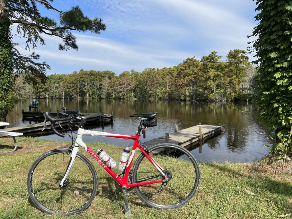
Every ride needs a ferry. And this could be a near-epic ride. A medium-distance ride (80km/50mi) and a 40-minute ferry ride.
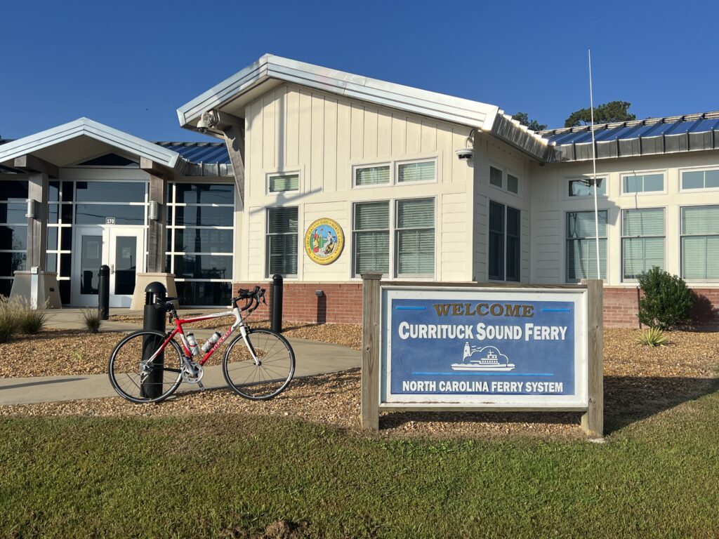
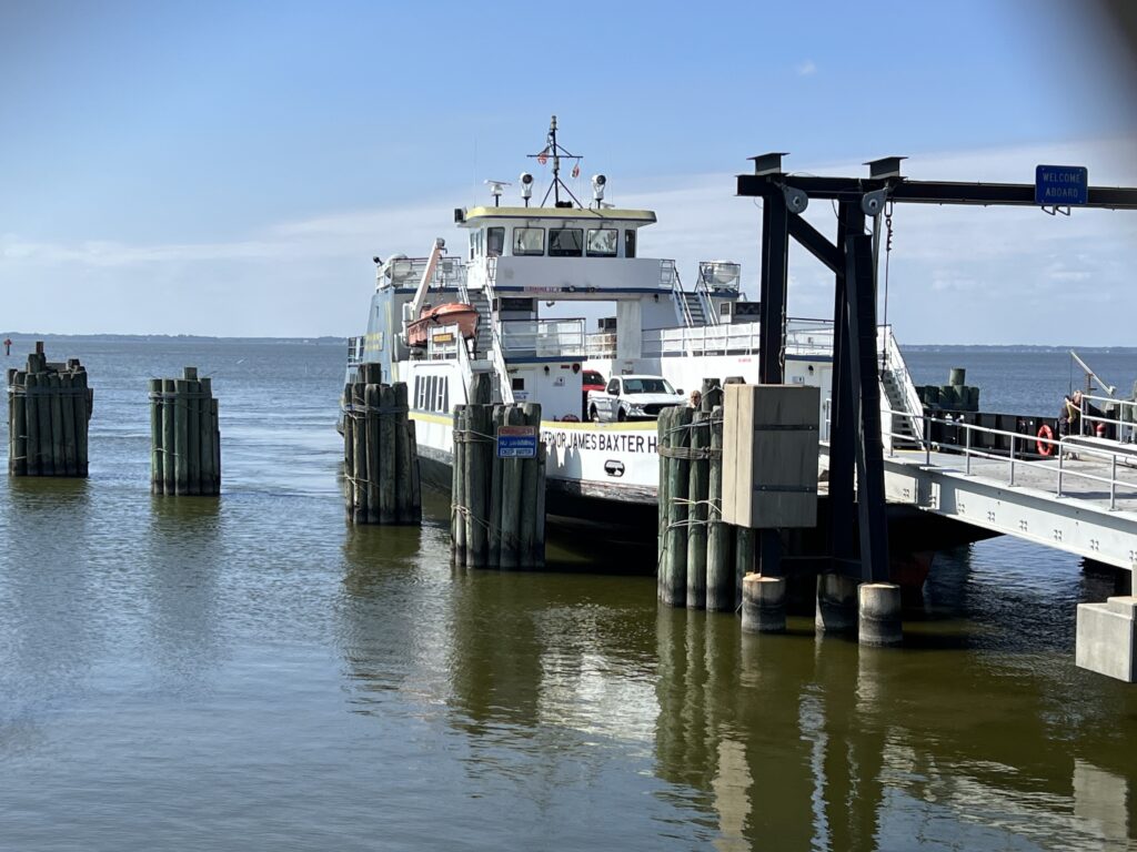
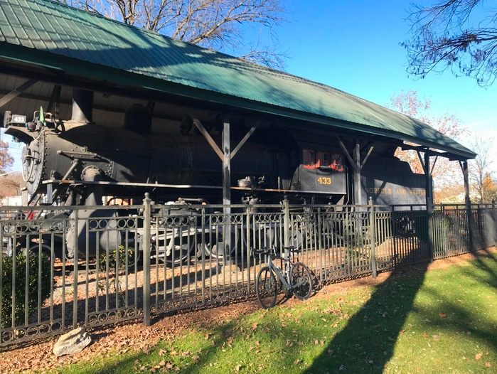
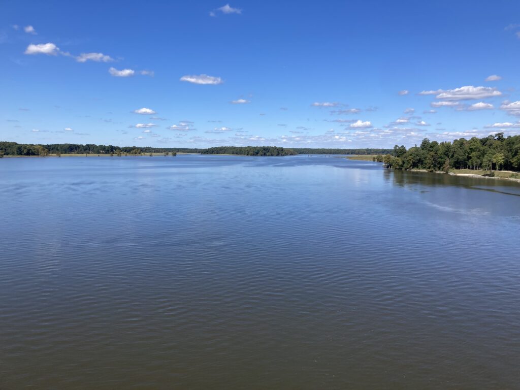
Ferry at Currituck, N.C.
Using the tools in RideWithGPS I mapped out a ride between the two ferry terminals of the Currituck-Knotts Island Ferry. I choose a couple of points on the map and RideWithGPS then mapped out the route. It usually avoids major roads, and indeed, instead of riding on NC Hwy 168 it routed me over the road at Moyock and brought me back to 168 at Northwest for about 1/2 mile which was unavoidable.
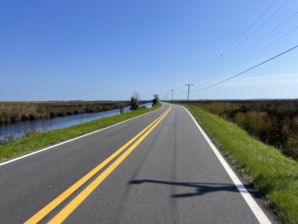
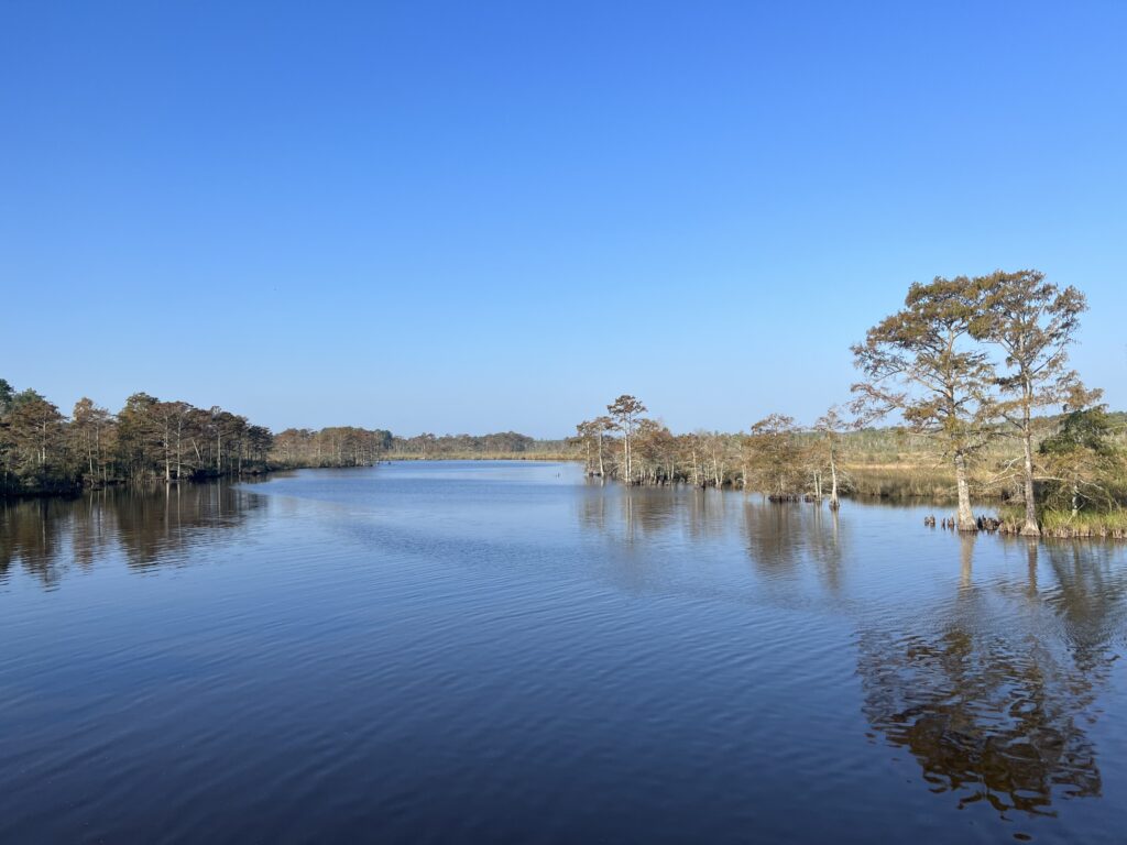
MacKay Island Wildlife Refuge – Marsh Causeway
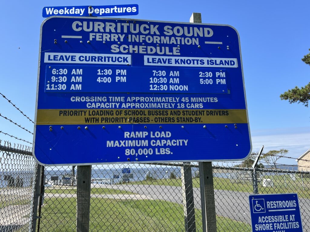
The schedule was my main planning point. The ferry runs every two hours and one would not want to just miss a ferry and wait for 90 minutes or more for the next one.
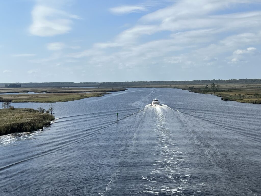
Ferry arriving Knotts Island
I mapped my ride from Currituck to Knotts Island. This was in a clockwise direction and had nothing to do with prevailing winds but was solely based on wanting to finish with a ferry ride. Although it was negligible today it would make sense to check winds to see if one could catch a tailwind towards the end of the ride.
Ferry at Currituck, 8:33 a.m.
From Knotts Island my feasible choices for meeting the ferry would be 10:30, 12:30, or 2:30. The only real workable time was 12:30 so I planned for a 9:00 departure and estimated that I would arrive at the Knotts Island ferry shortly after noon.
MacKay Island Wildlife Refuge
I was unable to determine the parking situation at the ferry. I looked for parks nearby where I could start my ride but when I arrived I pulled into the ferry administration building at Currituck. There was a small parking lot behind the building with a sign warning against overnight parking. I read that to be that daytime parking was okay so I parked.
Parking behind the admin building at the ferry
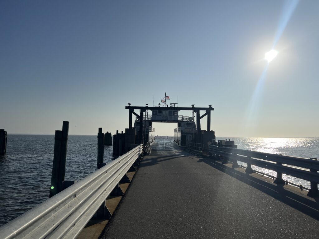
Some cars were coming off the ferry at 8:30. This must have been the 7:30 departure from Knotts Island and was running late. I thought that if they were departing soon it would behoove me to take the ferry first thing and ride my route counter-clockwise. That way I would have no downtime waiting for the ferry or angst in case I was running late. But a quick check of the sign and I saw the next departure was at 9:30. I rode my originally planned route.
Actually, this is in Virginia Beach
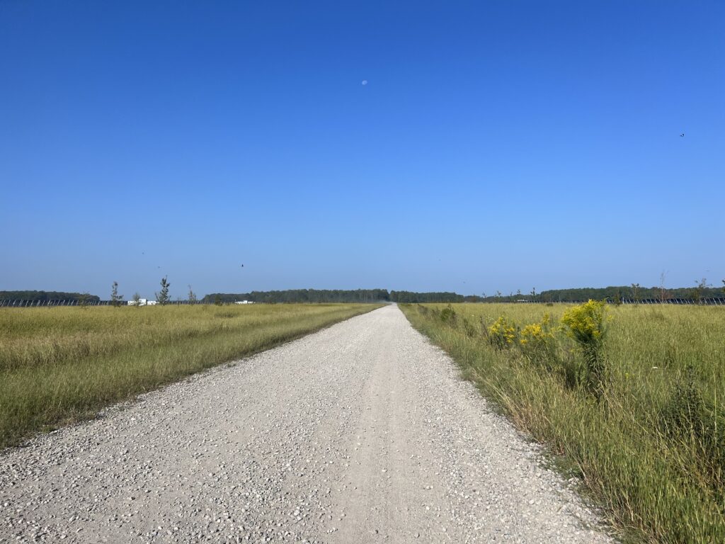
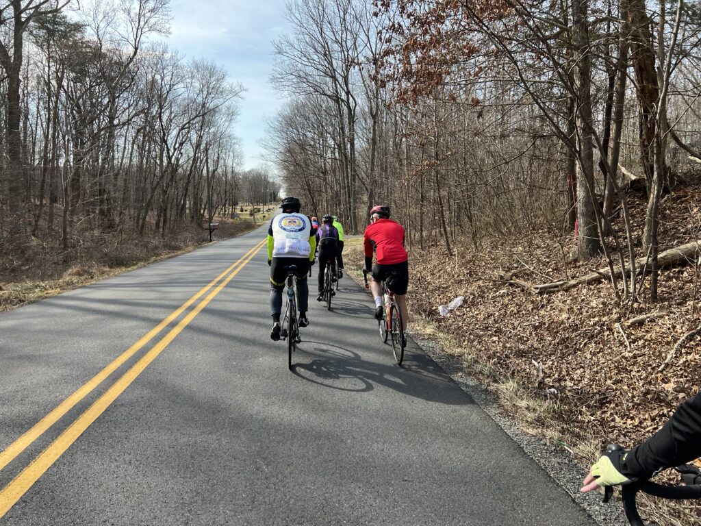
Almost immediately I was on NC Rte 168 but only for half a mile. Then I turned onto secondary roads. The back roads were great except for a major hiccup. Gravel.
Gravel. Not my friend.
RideWithGPS uses Google Maps and Google Maps showed the route as 100% paved. It wasn’t. I came to Cooper Garret Road. I stopped. It was gravel. And it wasn’t packed dirt. It was heavy gravel with a sand base.
Virginia state line (notice the pavement difference). But no welcome to Virginia sign. But there is a Welcome to Virginia Beach sign.
I opened up Apple Maps to see if there was an easy alternative. I didn’t see one. I slowly trudged through the gravel knowing it was a little more than two miles until South Mills Road and hoped that it was paved.
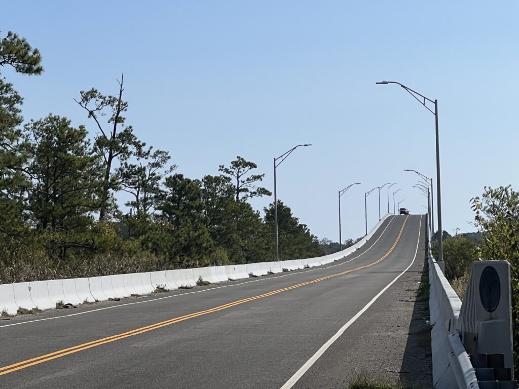
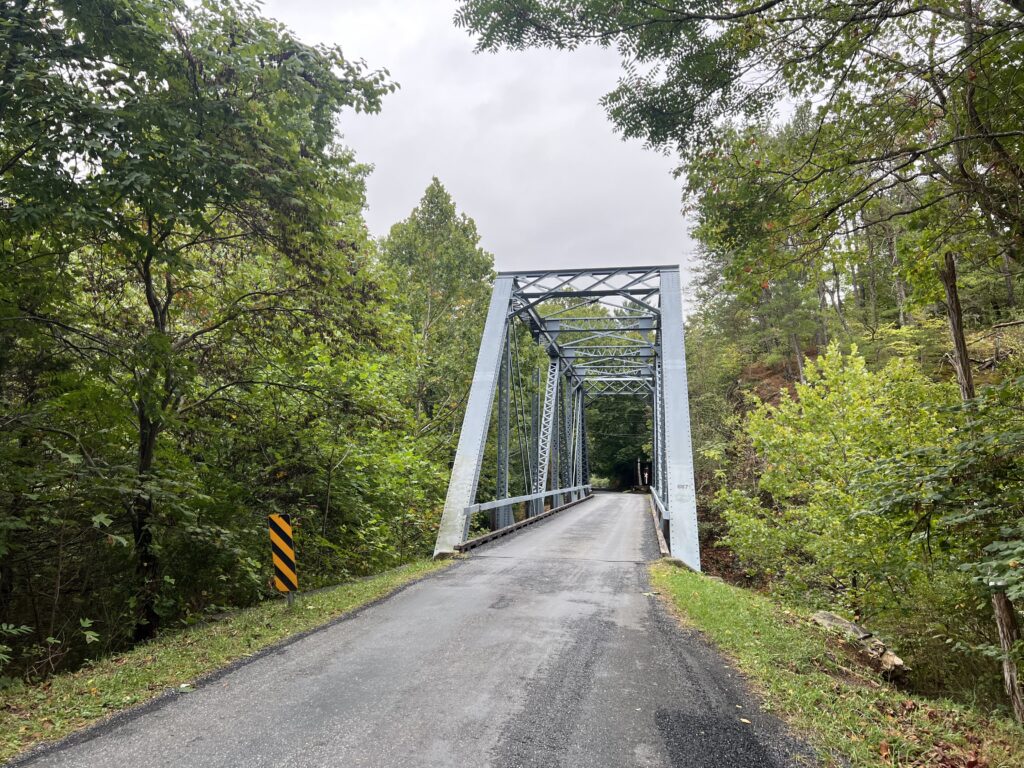
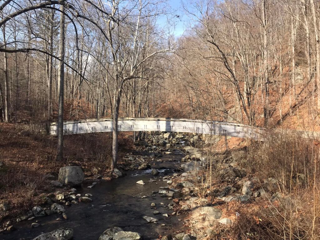
Bridge on Pungo Ferry Road, Virginia Beach. (Hillclimb)
I was on my Trek Pilot with skinny tires. The 25 mm tires cut through the sand and made controlling the bike difficult. I was afraid I might have a flat. And I was losing the time that was necessary to make the ferry on time at Knotts Island.
North Landing River, Virginia Beach
(Photo from bridge on Pungo Ferry Road)
I got through the gravel and back to paved roads. Barring any mechanicals or more road surface surprises I calculated that I should arrive at Knotts Island about 12:05 – 25 minutes to spare. Well, I forgot about the wind.
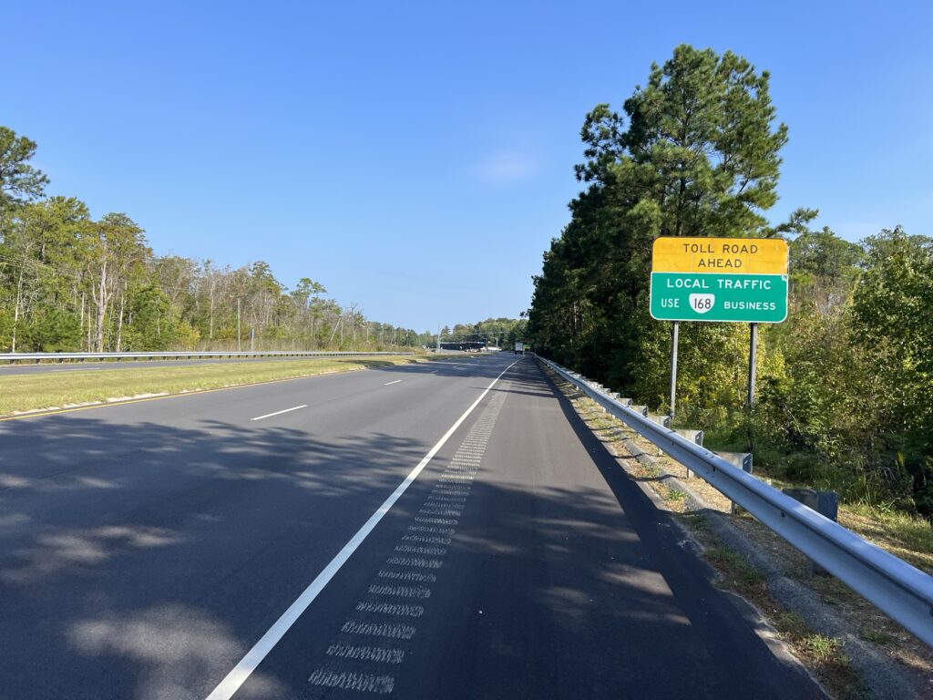
Va. Hwy 168 – Battlefield Blvd, Chesapeake, Va. (Only on this road for 1/2 mile)
There were strong winds blowing and if they were headwinds I could be in trouble. But they were mostly cross winds headed to Knotts Island with a tailwind the final 10 miles.
Ferry Schedule, Knotts Island
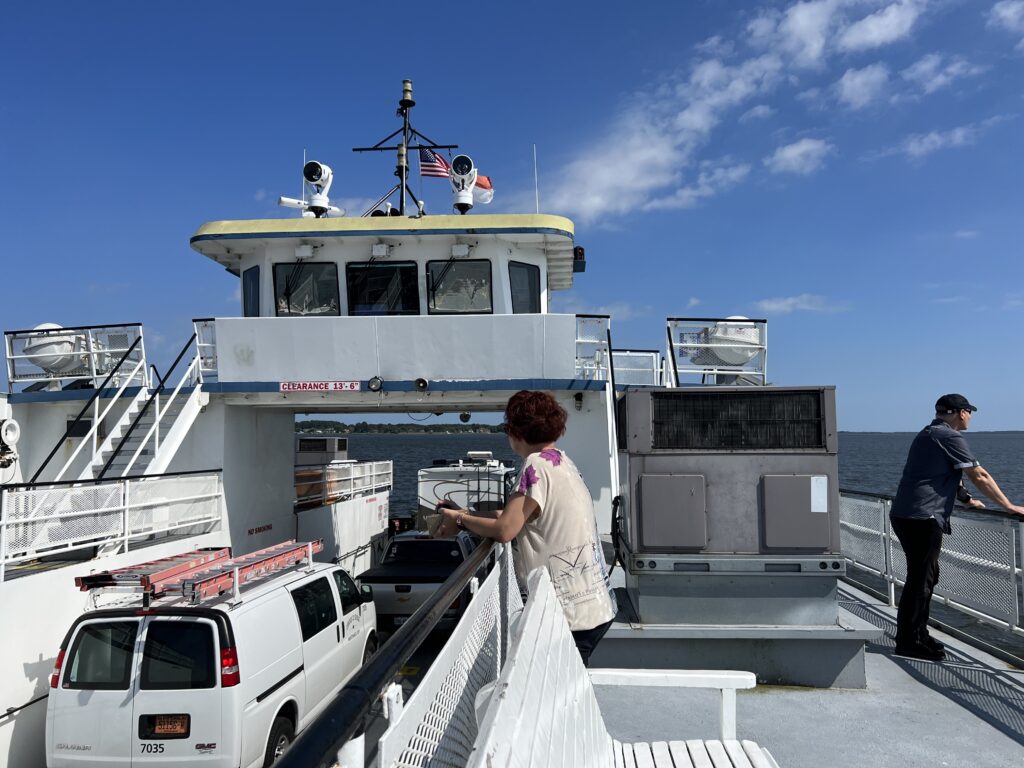
I pulled into the waiting area for the ferry at 12:00 pm. Slowed by gravel and then pulling over three times for photos, I still had 30 minutes to spare.
Knotts Island
The ferry is free. It departed at 12:30 and made the crossing in 38 minutes. There was an RV, two cars, three motorcycles, and me on the boat.
Onboard the ferry
I doubt that I will ever do this loop again but I would love to. If anyone reads this and wants to ride it I’d turn right at the tracks in Moyock (before the tracks) onto Oak Street. Go three blocks to the end at Shingle Landing Road. Cross the highway and it becomes Camellia Drive. Follow that to South Mills Road and that will avoid that gravel. Avoid the gravel
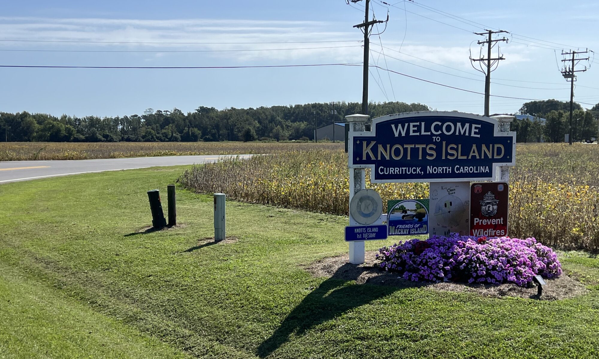
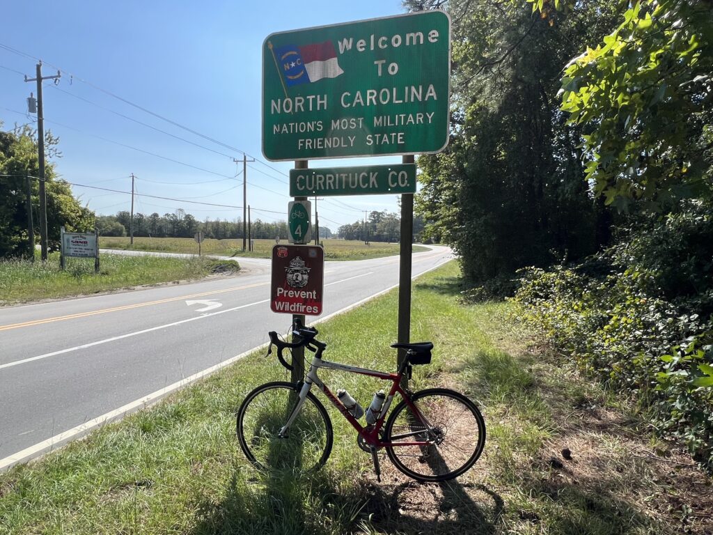
North Carolina border sign – Knotts Island
I rode this on a Tuesday morning in October. There was virtually no traffic on Hwy 168. On a Saturday morning, the departing traffic from OBX would be horrible and must be avoided. While the website seems to indicate the ferry runs daily, it must be noted that the sign on the schedule is for a weekday schedule. When we stopped on a Saturday there was a sign indicating that it was closed for the day. High winds were not a problem so before I would do this again I would double-check to make sure the ferry was operating. It may not operate on weekends.
Travel seems to affect me more than a hard effort on a bike. In the past three days, I’ve been to Altoona, Somerset, New Brighton (all Pa.), and now Harrisonburg, Va. When I arrived yesterday it was in the middle of Tropical Storm Ophelia. I had ridden daily since returning from Europe on July 4, a streak of 81 consecutive days. But yesterday was a washout and I viewed that as good. My body would rest.
Whoop band
The weather was unsettled as to whether the remnants of Ophelia would still be giving us rain in the morning. I had looked forward to my daughter, son-in-law, and granddaughters to be on course on U.S. 33 to cheer me on. As for the latter, the rain convinced them not to come and for the former, it was gray but mostly dry.
Ready for Action
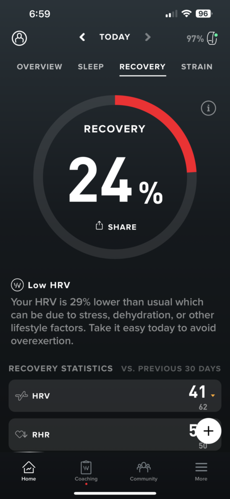
My Whoop Band provides biometrics and I looked at my data. My overnight recovery was at 24%. The suggestion was to stay in bed for the day. (Not really – but to rest and not take on any strain.) Whoop did not know that I planned to ride 80 miles including two huge mountain passes.
Robert Warren Hess and Barry
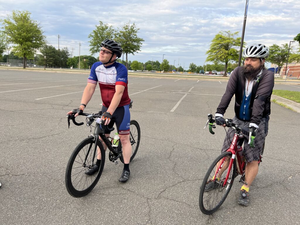
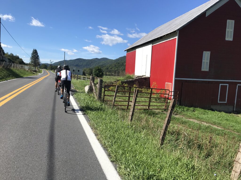
It was cool, 57℉, plus a chance of rain. No kids on the mountain climbs to cheer for me and the thought of riding on U.S. 33 wasn’t appealing. My Whoop said not to push the strain. I decided that I would ride with Robert Warren Hess, the founder of the Prostate Cancer Awareness Project.
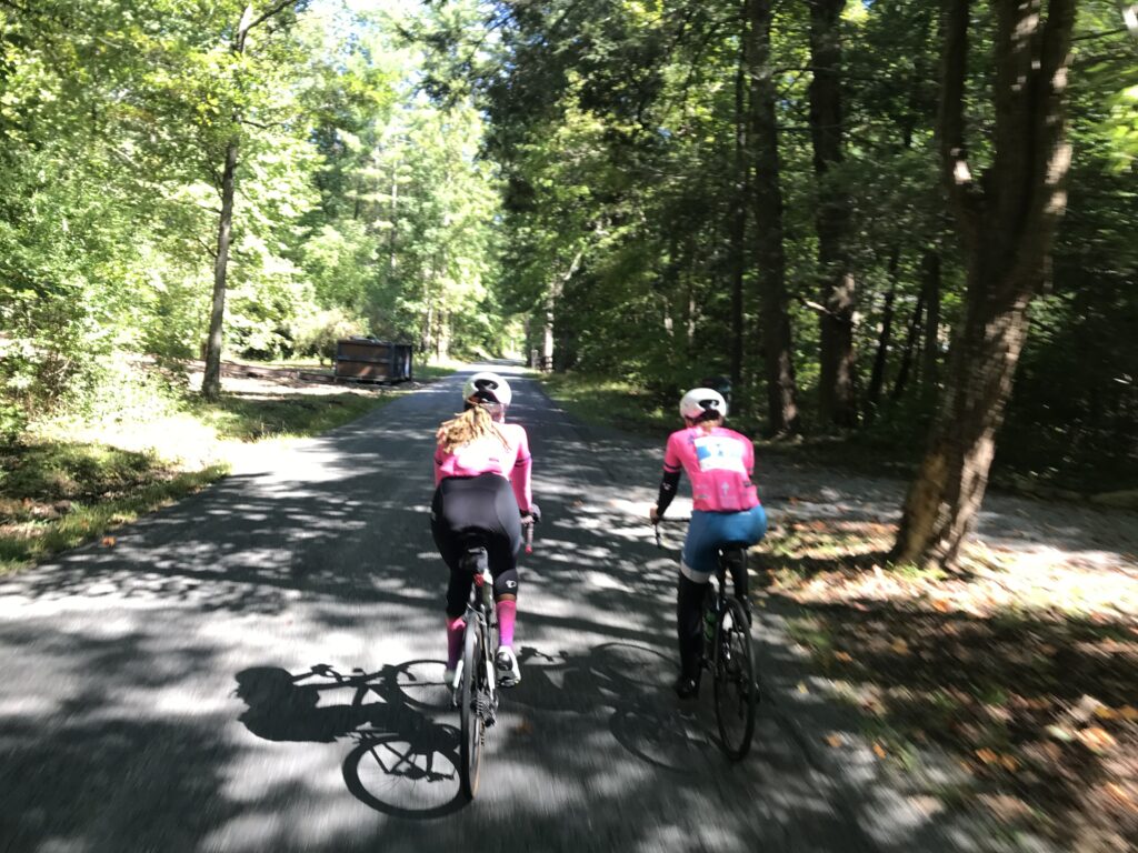
Riders having fun
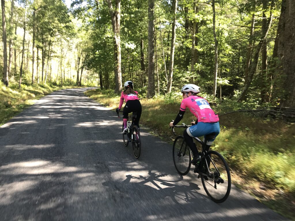
Robert and I rode near the back as he was riding the shortest route available, 36 miles. I would ride the Metric Century, some 62 miles. That’s not a lot different than the original 78 miles that I planned to ride but a significant difference in climbing.
On the loop
Robert and I rode and caught a couple from Greenville, S.C. The wife was telling me that her husband wanted to ride the Metric Century but would ride with her on the Valley View Challenge, the 36-mile route. I suggested to her that her husband could ride the Metric while she and Robert stayed together for the Valley View Challenge but he decided he would stay with his wife.
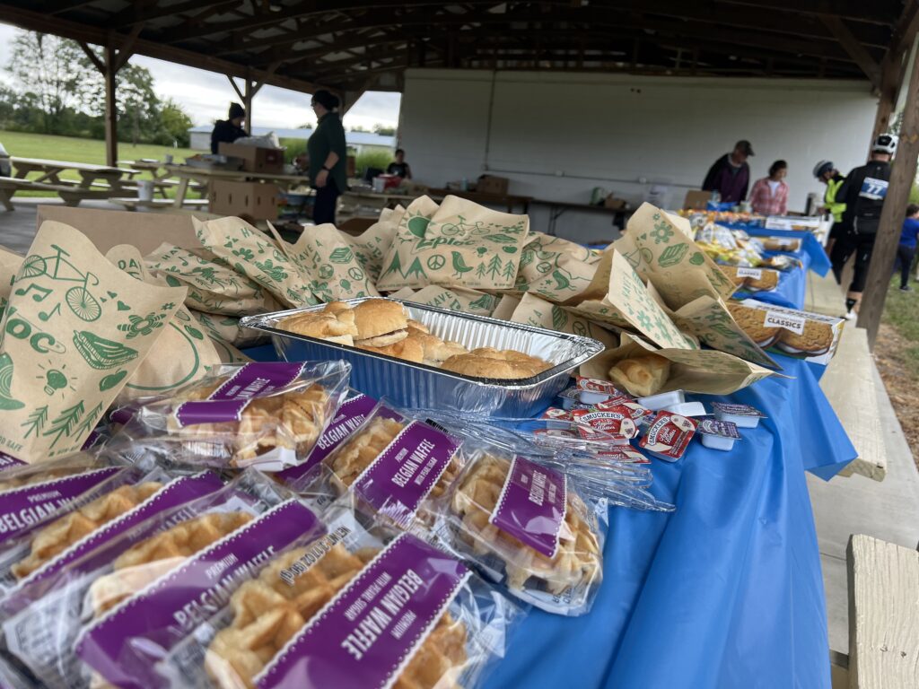
Rest Stop
After Robert and I rolled out of the rest stop we came to a split. The Metric route included a 27-mile loop back to the rest stop. I wished him well when a woman came flying up between us. She asked which way we were going and I replied “Whatever direction you are.” That wasn’t creeping on her, it was acknowledging that if she went straight Robert would ride with her and if she went right I would ride with her. She went right.
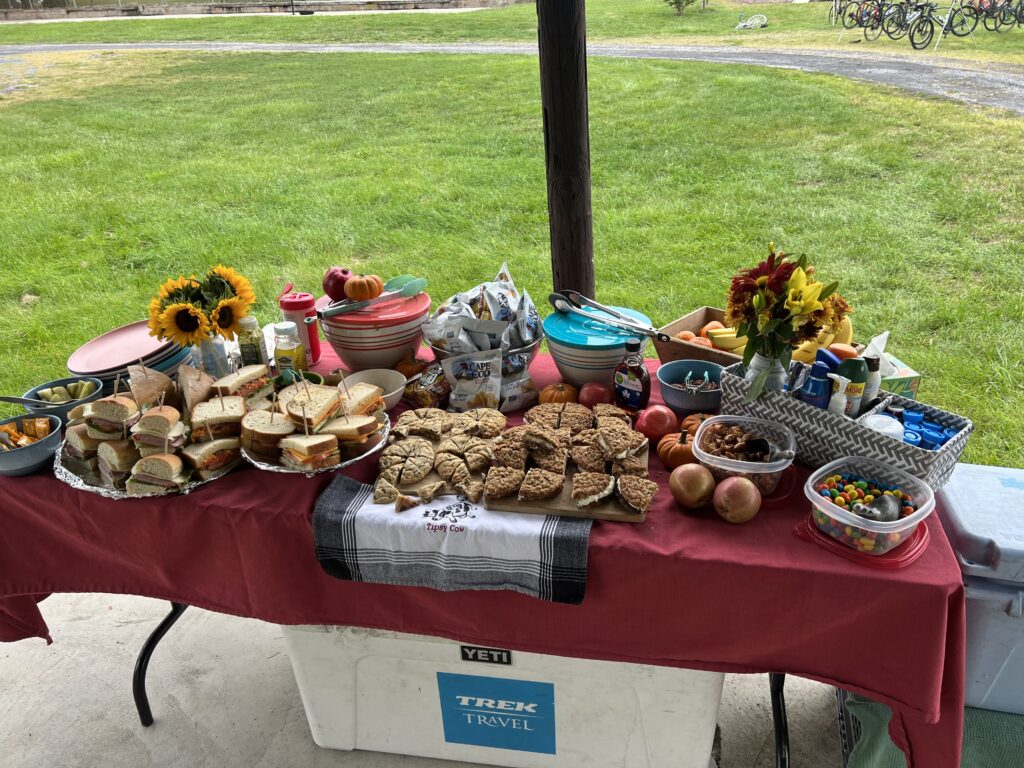
Food at the rest stop
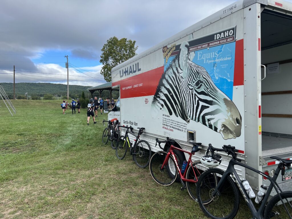
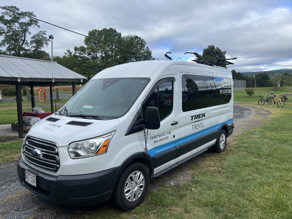
Robert and I were last on course for these two routes that didn’t go over the mountain. As the founder of the PCAP, he spends time talking with every rider at the rest stop. And I also spent time meeting some Trek Travel Guides for the Shenandoah Valley Gravel Bike Tour. So we were quite surprised someone came up from behind us.
Trek Travel
Wilma started at 8:30 and missed our roll-out at 8:00. Her husband was also riding but he opted for the 36-mile route. I sensed she wanted to beat him, i.e., ride 62 miles faster than he could ride 36 miles although she never said that.
Bridge in Stokesville
We rolled together back to the rest stop where we had caught a number of the Metric riders. Although they left while we were still at the stop, I told Wilma that we would soon start catching riders. And we did.
Stokesville (next to the bridge)
When we came to the sprint section I asked Wilma how her sprint was. She said not very good. I believe that today I could compete for age group winner in the sprint but at registration, I was told by a person handing out the chips that I didn’t need one. Indeed I would not be competing on Allegheny Mountain or Reddish Knob but this one I could have. But I had no timing chip.
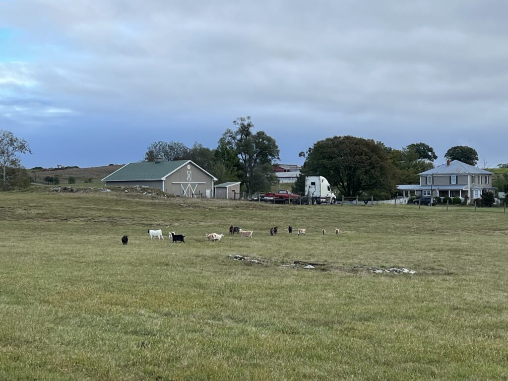
Goats
I thought about how I would handle it and told Wilma to hold my wheel and I would try to tow her to a win. We went but I never was at 100% effort and frequently backed off so she could stay with me. And I still set a PR. I think that had I had a chip today I could have gotten it. Oh well, my bad for not pushing back on the chip issue before the ride. (Note to self: Strava winner today was 1:50 which will be my target next time.)
Lunch at the finish – from Hank’s
Wilma and I continued to catch and pass riders. We made a turn and up the road about 100 meters and saw a guy pedaling. She said, “There’s my husband.” And she blew by him. Not even a glance back or slowing down to ask him how his ride was going.
Trek Travel presentation for their group
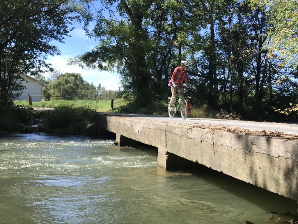
On a climb on Swope Road, I caught an Amish horse and buggy. It had caught three cyclists that I knew I would be passing. But I did not want to pass the horse and buggy. Eventually, the driver saw a place where he could pass the cyclists and I followed. The horse took off up the hill and I followed, blowing past the cyclists. I matched the speed almost as if I was drafting the buggy. I wasn’t, I swear. The kids in the buggy would wave to me and I would wave back. What fun. Probably some of my Wenger cousins (at least 7th).
Wilma and a buggy
We avoided the rain. I listened to the Whoop. I had a companion for 100% of the ride to the split (Robert) and one from the split back to the finish (Wilma). For a day of rest, it was very enjoyable. Another great Alpine Loop Gran Fondo.
Crossing the low bridge
A SPECIAL FEAT – As Robert and I rode I told him about my decision to ride the Metric Century, adding that it would give me all five routes. Early on I rode the Alpine Century Loop with its gravel. I rode the Full Century on pavement. Minus the 25-mile loop, I’ve ridden the Shenandoah Mountain adventure. In 2015 I did the Gran Fondo but opted for the 36-mile ride so I could hurry to Richmond to see the UCI World Championships. And today I would ride the Metric. Robert told me that Jeremiah Bishop had told him that no one had ridden all their routes. And so I would complete that. I also told Erin Bishop that after my ride and she found it “interesting.” (My quotes)
Riding gravel is the new “in” thing in cycling. The advantage over road cycling is that riding on gravel roads means very few cars. And that alone is enough for many gravel riders.
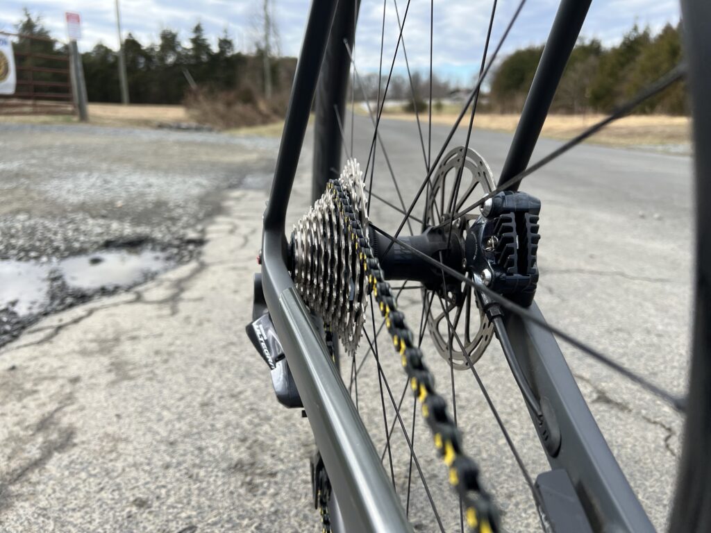
New Drivetrain Day
The disadvantage is that the bike is harder to control. In addition, I always feel like I am one piece of gravel away from having a flat tire.
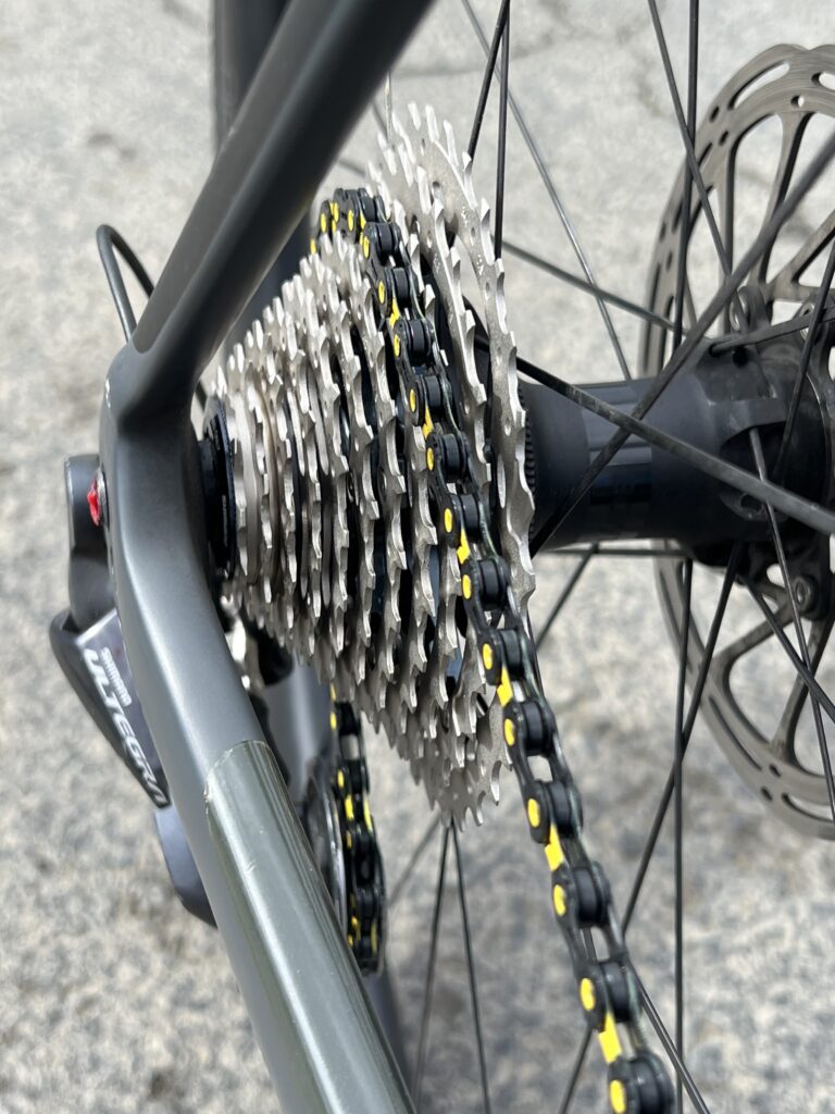
Clean cassette and chain
Although I have a gravel bike, a Trek Checkpoint, I have not come to embrace the new fad in cycling. I am a fearful gravel rider.
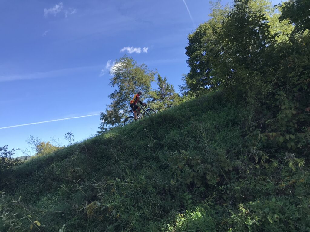
Generally, I am one of the fastest descenders on group rides. I seem not to be able to recognize or process risk and am probably inches away from a serious high-speed accident. But put me on gravel and I am absolutely the slowest descender. Others in the group are flying down these roads over gravel and I am holding a handful of brakes.
Near Rixeyville
I am not comfortable descending and don’t think any amount of practice will make me enjoy it. I ride it to join friends on group rides but that is about it. And perhaps if paved roads simply aren’t available.
Culpeper detour. Just walked through it.
I needed a metric century because I was doing a fundraiser for my upcoming MS-150. I challenged my friends that I would ride in distance the number of miles they raised in dollars. I went to RideWithGPS and mapped out what I hoped would be a perfect metric century. RWGPS uses Google Maps so I assign no blame to RWGPS. I drew the route and it showed as 100% pavement. I was set.
Near Culpeper
It was a combination of my Remington routes and a Culpeper route which I always route clockwise. I decided to ride this one counterclockwise because it would be new to me.
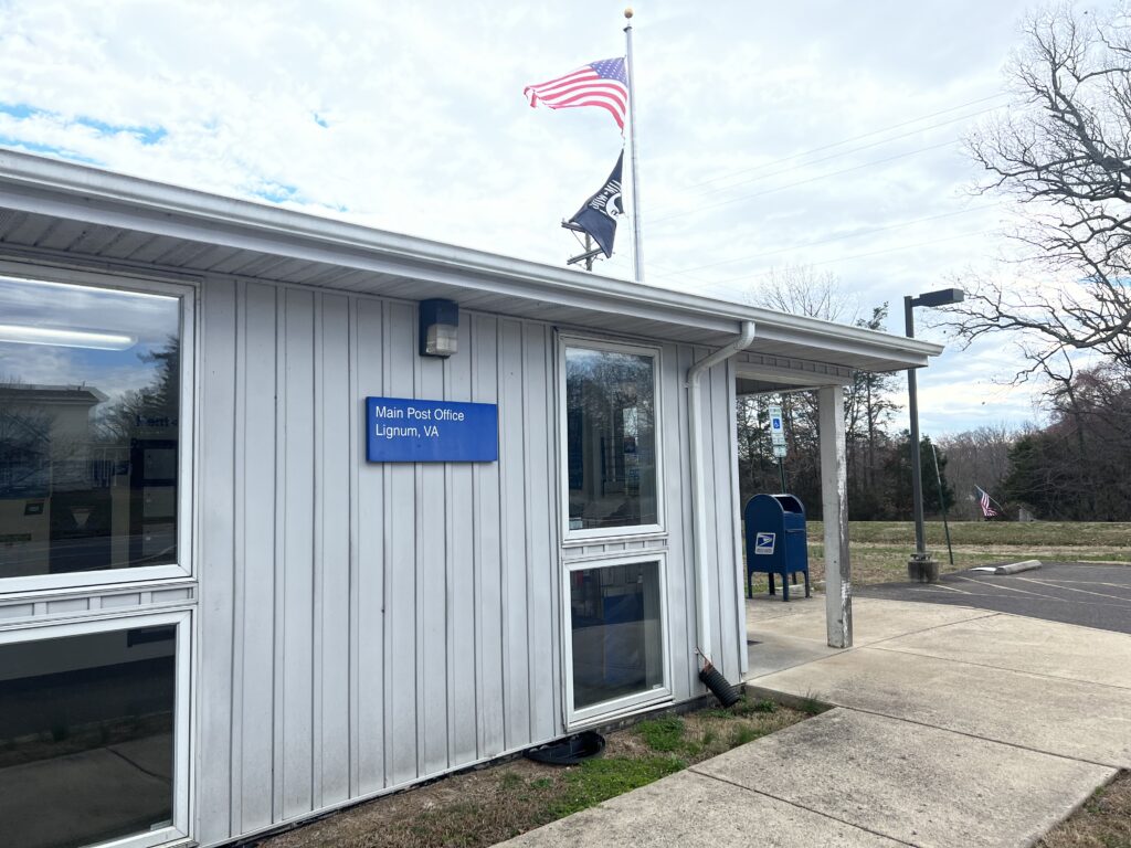
Post Office Lignum, Va.
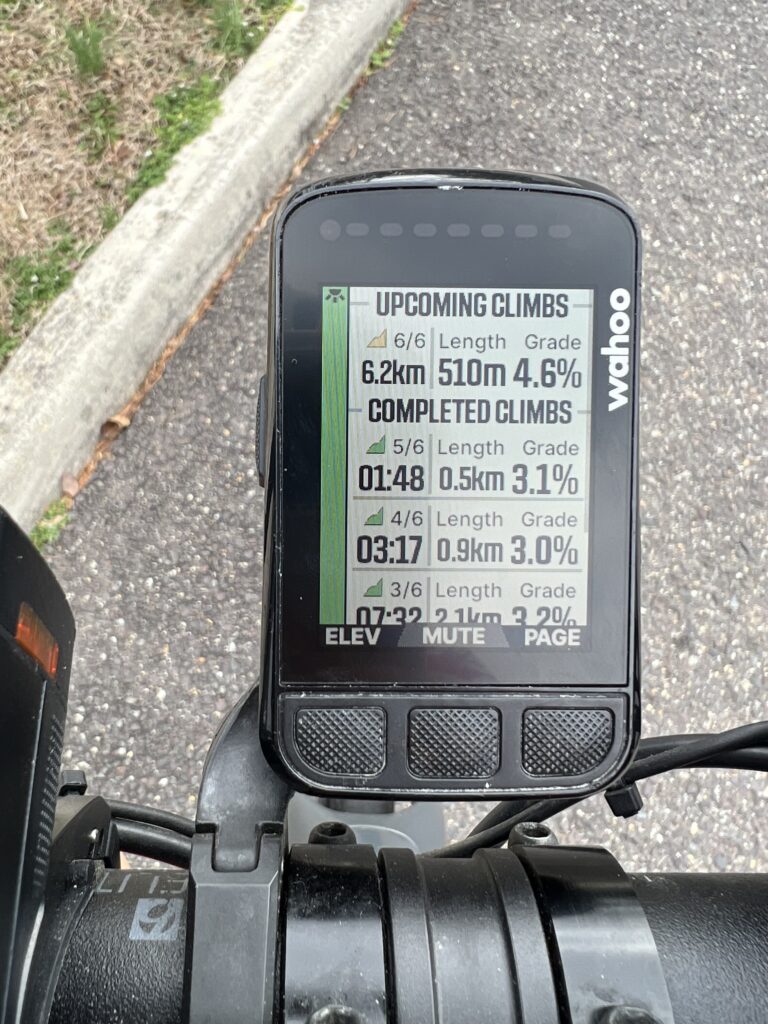
I headed out on familiar roads even if the direction wasn’t. I quickly came to “Climb 1/6” and then Climbs 2-5. Almost all the climbing seemed to be done in the first 30 km. I was happy to get what climbing there would be out of the way early because it was to hit a record-breaking 80 degrees today.
The Climbs on the mapped route appear on my Wahoo
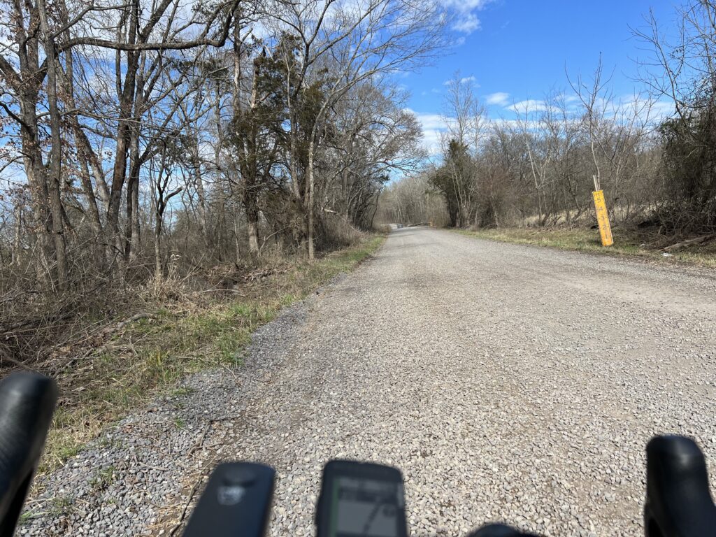
The sixth and final climb was just ahead at 63. km to go. The country road was beautiful with almost no traffic. And then the road turned to gravel. Oh no. This was not expected. I slowed down. I did not know how far the gravel would extend. Well, it was three km (two miles) when it turned to pavement for the final climb of 500 meters. And then it was back to gravel for another three km. In all, it was four miles of unexpected gravel. This was not fun.
Gravel!
I tried to choose my line and stick with it. The gravel alternated from packed dirt (which is actually quite alright) to newer gravel that had been put down within the last year or so (not quite alright). I didn’t know how far it would go and was quite relieved when I reached pavement at the end.
This was a beautiful route but the map drawing let me down. I already went to the drawing board and changed it. I hope that I found all asphalt roads this time.
It was one week ago that I thought about the upcoming International Ride of Silence. I have attended a couple in Rockville, Maryland, and was at one in Dayton, Ohio. But I thought we should have something in Virginia.
I checked the website and only saw a ride at Radford. Nothing in northern Va. Nothing in Richmond or Roanoke. Nothing in Virginia Beach. Wow.
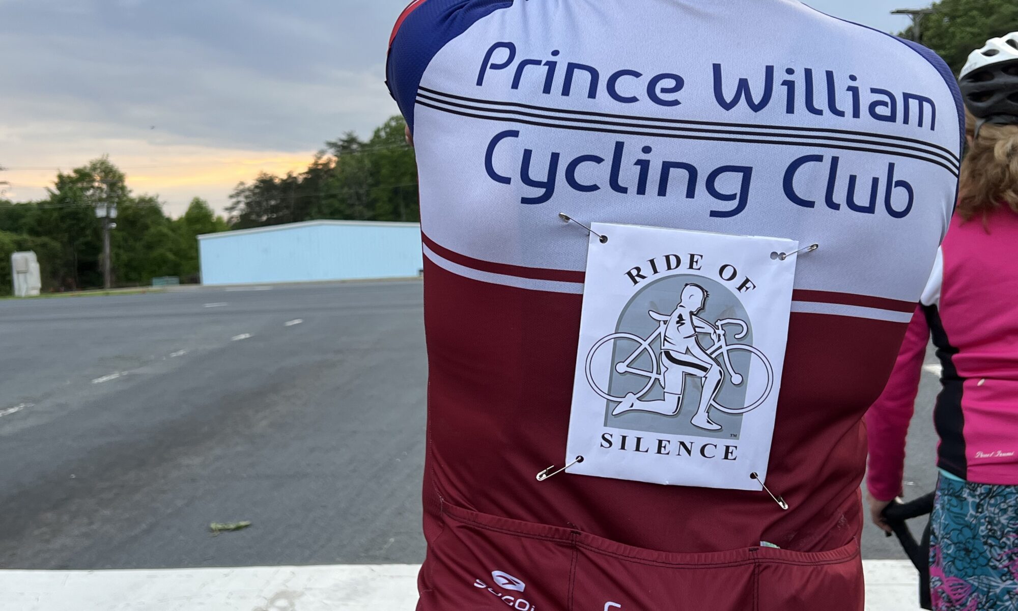
I decided to organize one. With little publicity we had six riders come out to our FIRST Ride of Silence. I wasn’t a novice at organizing rides. Nine years ago I had organized a “Tribute Ride.”
We met at C.D. Hylton High School. I chose this location because it is the site where Joseph James Callahan was killed in September 2013. He was riding on the bike trail in front of the school when a 17-year-old girl drove off the road, struck, and killed him. We rode for Joseph Callahan.
I also bought new flags for his makeshift memorial. The school has let it remain on the property for eight years and I’m afraid without maintenance they may remove it.
The program was simple. We wore black armbands in honor and memory of those who have lost their lives to drivers. We wore red if we have been struck by a vehicle. Half our riders wore red. Read that again.
I opened the “program” with remarks about the Ride of Silence. I spoke about Joseph Callahan and then about Jamie Roberts. We opened our circle to recognize anybody. Chelsea Johnson led us in The Ride of Silence poem.
Tonight we number many but ride as one In honor of those not with us, friends, mothers, fathers, sisters, sons With helmets on tight and heads down low, We ride in silence, cautious and slow The wheels start spinning in the lead pack But tonight we ride and no one attacks The dark sunglasses cover our tears
Chelsea was with Jamie when she was killed in Kentucky in 2014. Chelsea spoke about how Jamie lived!
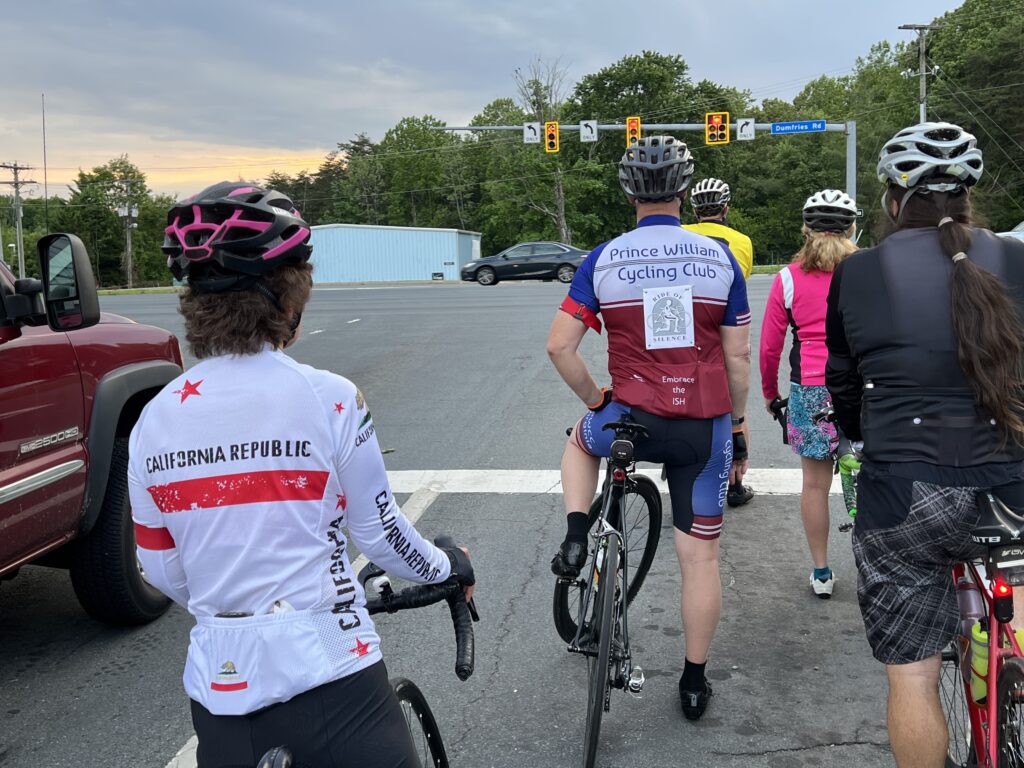
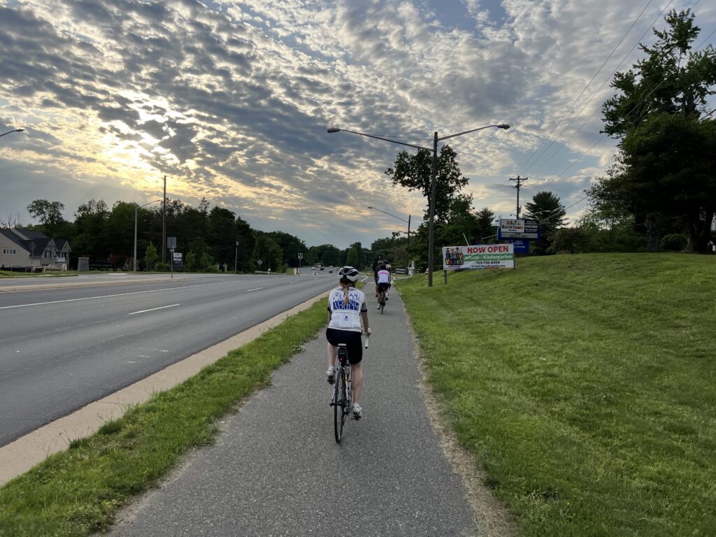
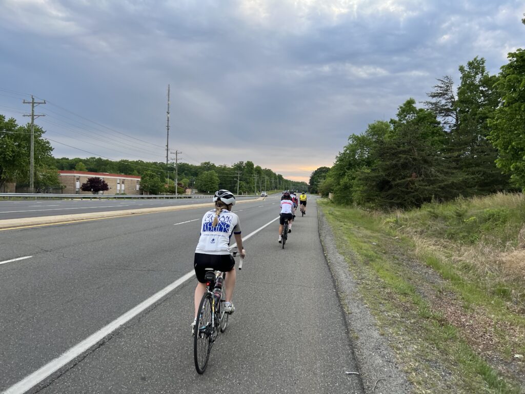
At 7:00 p.m. we rolled out. The route was simple – an 11-mile counterclockwise route of Spriggs Road (bike path), Hoadly Road (shoulder), Dumfries Road (bike path), Minnieville Road (bike path), and back to Spriggs Road.
After the event riders were invited to Armetta’s for a post-ride celebration and reflection. This will be the first and many rides to come.
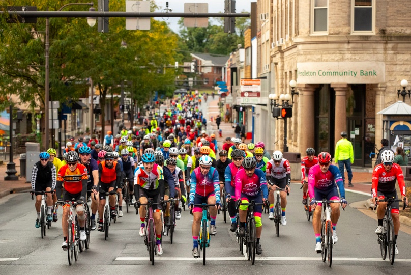
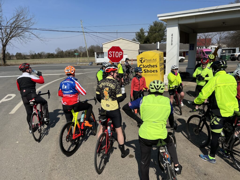
It was a group ride with Prince William Cycling Club billed as “Shake off the dust and clean off the rust.” The departure location was the Old Bust Head Brewing Company in Warrenton.
I arrived on a cold morning (45º) with plenty of time but fiddled with my contact lenses. By the time I rolled up to the start at 8:59 a.m. (I could have moved quicker.)
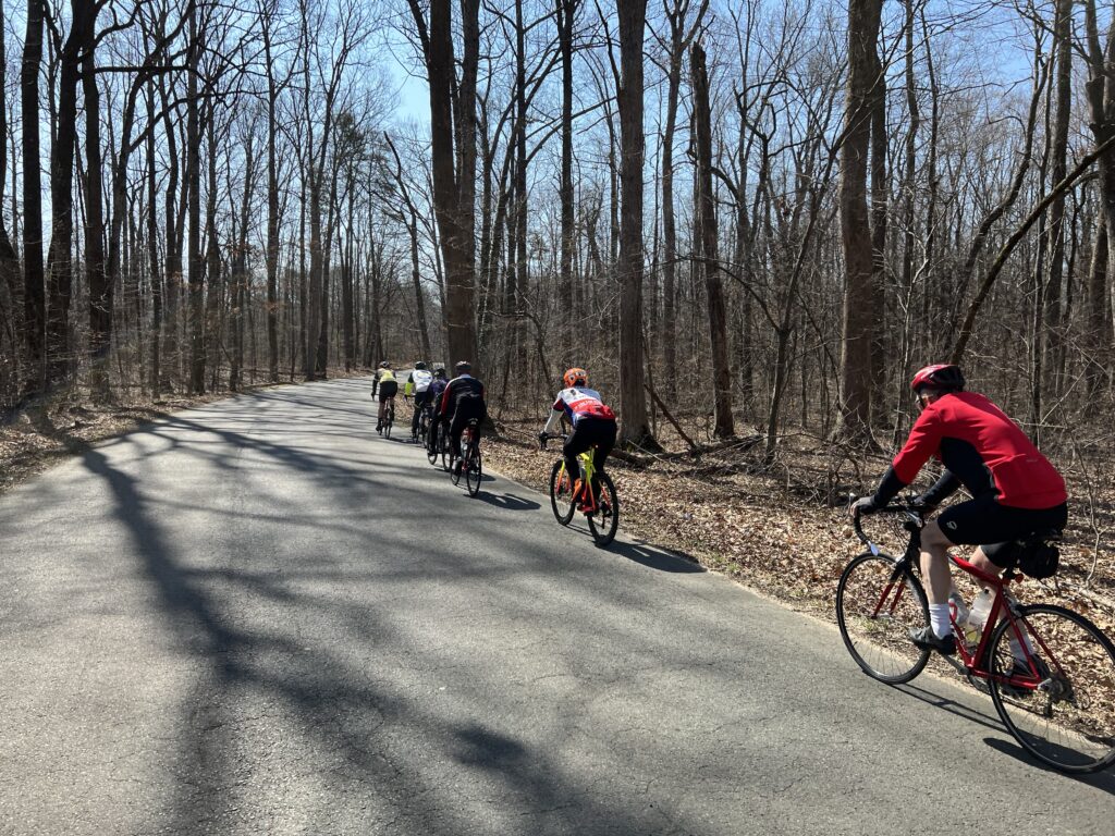
There were about 40 cyclists but in two groups leaving at 9:00 a.m. I had to make sure to find the faster/longer group. If there was a division at the start I could certainly tell by the riders in each group. I also figured, correctly, that the faster group (15-16 mph and 40 miles) would be smaller than the 30-mile group. But we were in one large group and I needed to make sure as we rolled out. I also asked as we pedaled away.
There were nine of us. John (Orange Pinarello on Facebook), Charlie, Ed, Jamie, and Louis, three others, and me. I was the oldest.
On a group ride, no one says they check out everyone’s bikes but everybody does. Who’s on the neon carbon bike? Who has the oldest bike? Anyone with a classic bike? And who is riding a gravel bike on a road ride? Uh, that would be me.
I was perfectly dressed. But I guess we all were. Most worse leg or knee warmers. With an expected temperature of 60º, I wore my Roosters Racing kit. I had a light Roosters jacket which meant I was the guy in black/grey on a black/grey bike. I had knee warmers but my screaming color socks from Ridge Supply gave me a little color. And black “cookie” long-fingered gloves. No headcover under my helmet.
Only four of us said they uploaded the route to their computers and I don’t know who they were. I did and my Wahoo was working perfectly.
Store in Catharpin
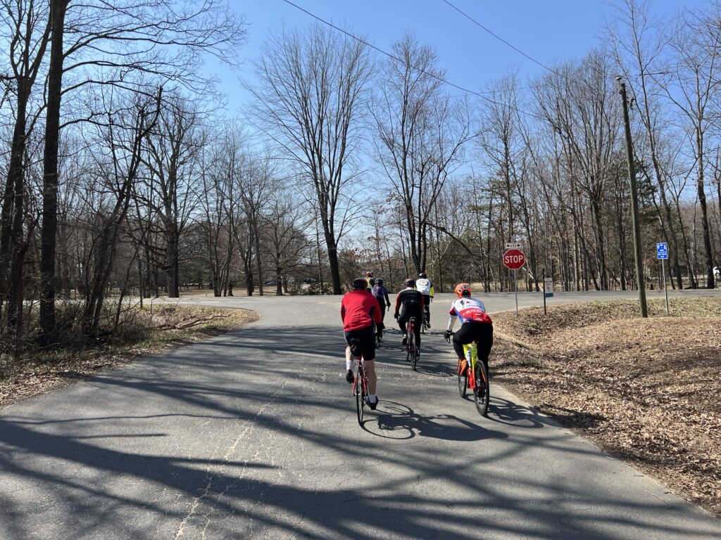
Well, I wasn’t quite ready to roll. I didn’t have my gloves on. So I stayed at the back to get them adjusted then joined the group. We stayed together for a while. There was a split at the traffic light in Catharpin so the front group pulled over waited for the back group.
As we rolled into the country we gapped two riders. I do believe it was one rider and a sweeper. We were rolling along at 18-19 mph and someone asked us to slow the pace to no more than 16. I went to the front then did nose-breathing riding. Easy pace. After two miles I was told I caused a further split in the group. Damn me. We pulled over and waited for everyone to catch up.
We came to a country store where we caught the slower group. Since they left after us they obviously went a shorter way. They left before us and we caught them again in Cassanova but quickly turned onto our longer route.
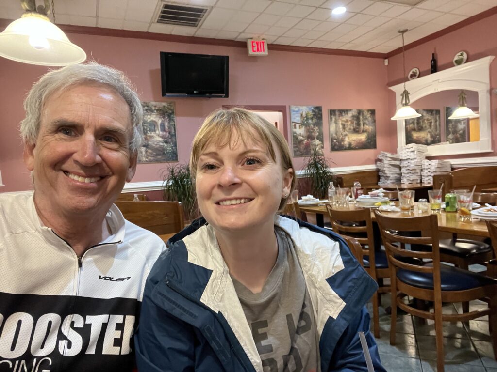
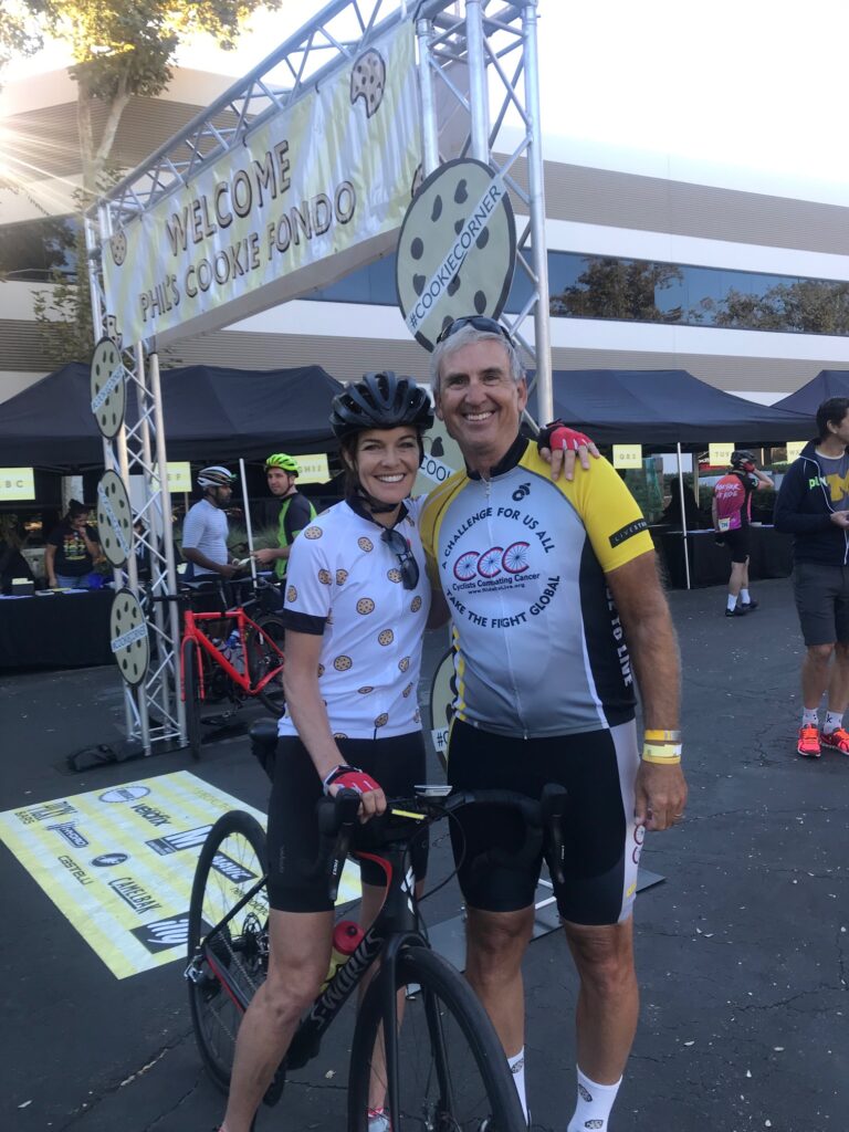
It was at the store that John remembered where we had ridden together before. Two years ago I was riding from Manassas to home and he asked if he could ride along. He had remembered my Seinfeld story. At first, I was confused and then we both said “Delores!”
In October 2019, I was at Phil’s Cookie Fondo in Malibu, California. I happened to recognize the actress that plated Delores in the Seinfeld episode where he didn’t know his girlfriend’s name and it went too far that he could no longer ask her. So he had to figure it out. It was a classic episode and the actress, Susan Walters, posed for a photo with me. I talk too much.
Barry and Susan Walters
At 27 miles in, one of our riders, Bill, hit his wall. I told John I’d sweep and ride with Bill but John dropped back too so both of us did. We lost sight of the group. At Mile 34 we caught them as they had waited. I lost Bill and clawed my way to the front three riders. I guess I wanted everyone to know that I had not been dropped and could be riding at the front if I wanted to. I caught them at Mile 37 then let them go as this was a double left-hand turn. I wasn’t sure who knew the route and felt someone should wait for the stragglers to show them the way.
PWCC40 – Single file in Fauquier County
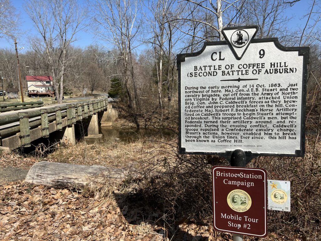
I counted seven riders then, after five minutes, decided to ride back to find our last two. I went 3/4 of a mile, uphill, before I saw them coming. Briefly, because so much time had elapsed, I had begun to worry that they took their own way back. But once I made contact we rode back down to the Battle of Coffee Hill then toured up Rogues road. Bill had to stop. Cramps. Badly.
Our game plan was for me to ride back to the start/finish (5.5 miles) then check on them. If they needed up I would go back and pick them up. I got back, called, and Bill had stopped completely and John was waiting with him. So I went and picked him up, This was Bill’s first outdoor ride of the year. It was my 60th.
The ride was supposed to be 15-16 mph. I came in at 17 and it would have been higher except for the 3-4 miles I rode sweeping with Bill. John’s ride was 16.5 mph so he lost 0.5 mph sweeping Bill. I may have lost that much too. I could not find someone in the first group to compare to but since we rode together that would have been my average.
But it was a beautiful late-winter day. And it served as a reminder that I have three weeks before my double-century ride in Florida. Need to get in the miles.
John thanked me for helping. If not me, then who? Hopefully, anyone in our group would have stepped up but no one did. I’m sure John would have but we had the luxury of him waiting with Bill for me to come back and pick him up. I had no room for John.
Fourteen years ago I first rode this climb as part of the short-lived Blue Ridge Extreme Century. It was at Mile 50 before we encountered this climb and when I saw a friend walking near the top that was enough for me to join in. My memory, which may be wrong, tells me I went back in 2008 for a different route. But I think we climbed this again and I flatted near the top. I was dragging a low tire and had to walk it to the top for a repair.
I had forgotten about this climb completely until July when the Texas4000 came through. Their route included a descent of this climb. I briefly thought about incorporating this climb as training for Mount Washington but never did. With nice December weather upon us, I put together a 50-mile ride which I thought, tracked what I did 14 years ago. It did not.
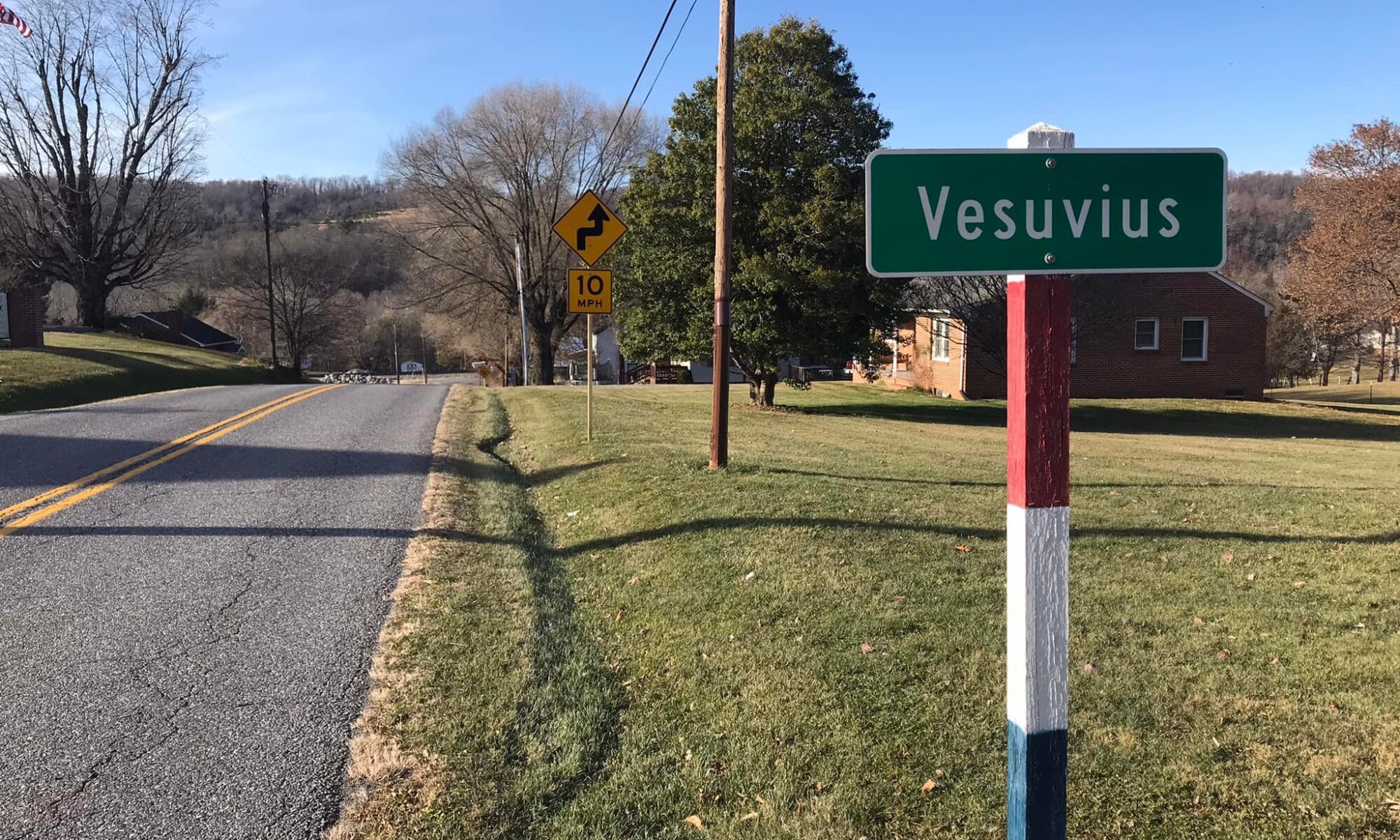
Vesuvius has a few homes and no parking. But it does have a church – the Vesuvius Baptist Church. I parked there. I sought permission but the door was locked when I knocked on it.
With a start temperature of 45º, I opted for knee warmers, a headcover, gloves, and a jacket. I started from the parking lot and was immediately on the climb. I remembered nothing about this climb. I was getting warm but had no problems going right up it.
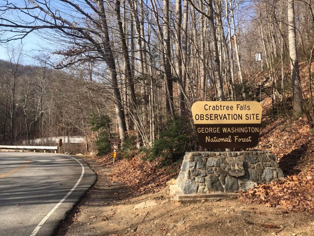
Headed towards Crabtree Falls
Although I had unzipped my jacket, at the top I stopped and zipped it back up. The descent here was fabulous except winds were sustained at 29 mph making bike handling difficult. I stopped briefly at Crabtree Falls and felt and heard problems with my rear brake. I decided not to touch it the rest of the ride. Descending would be with one brake.
Crabtree Falls. South Fork Tye River.
I routed myself a bit too far. I ended up on Patrick Henry Highway. While not too busy in Nelson County, it was still named after a Virginia/U.S. Patriot. It was a highway. It was 8.5 miles to the Ski Barn. I was on a gradual climb with a nice one-mile descent. I loved the ride but would not recommend it or plan to ride it again because it was Patrick Henry Highway.
Crabtree Falls
The Ski Barn was Beech Grove was familiar. It was a rest stop twice for the Extreme Century rides. And from there it would be a six-mile climb to the “top” at Reid’s Gap.
While I rode today to prove myself on Vesuvius, equal to that was the climb to Reid’s Gap. Fourteen years ago I was pulled off my bike on this climb. What I remember: I came to a section and saw other people walking. At that point, I decided I would too. I did not walk too far before remounting and continuing. On the right side of the road was a setup. There was a tent. Definitely a tent. There was an ambulance or fire rescue vehicle parked. And a paramedic yelled to another, “you get his bike, I’m going to get him.”
They pulled me off my bike and made me sit in the tent. They had iced towels they put around my neck. They gave me fresh water. After 10 minutes they told me I could leave but offered, and even strongly suggested, that I be SAGged back to the finish. I refused.
I got back on the bike that day and rode a couple of hundred yards then walked a little more before finally remounting and riding to the top. And that is my memory of that August day.
Patrick Henry Highway near Beech Grove
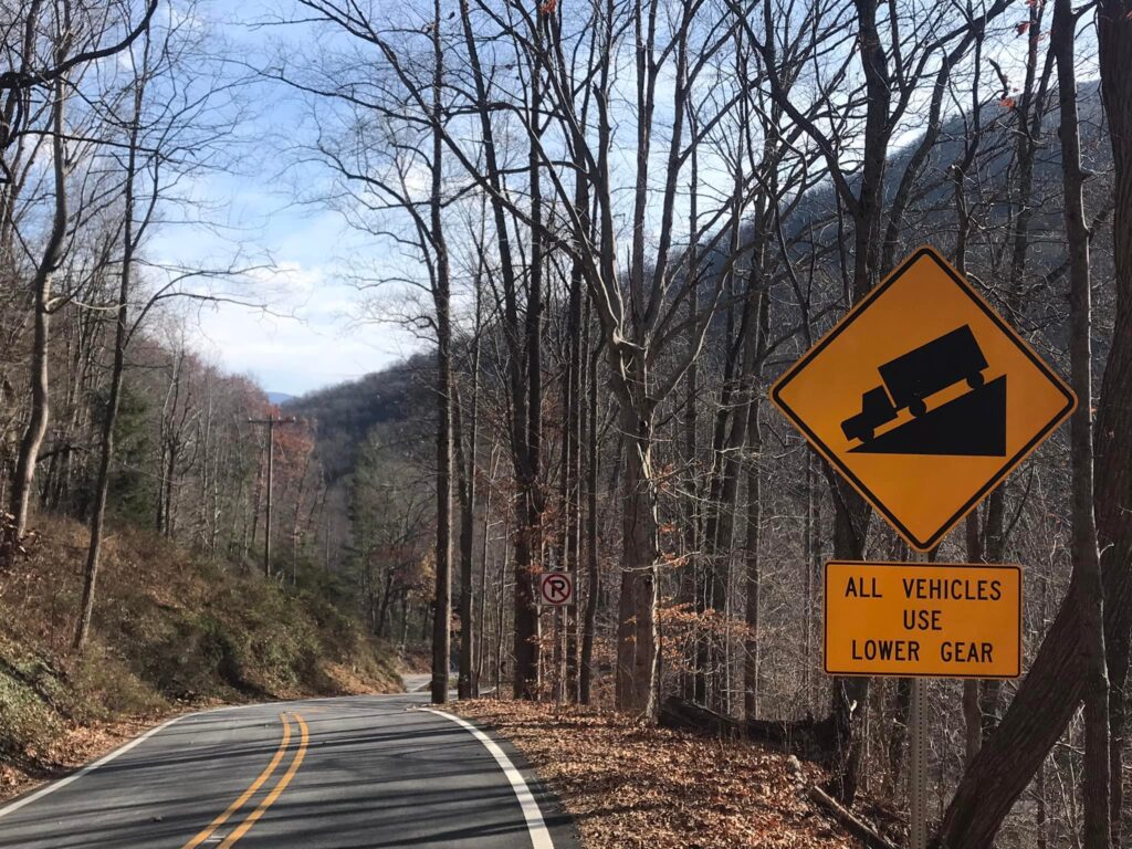
My Wahoo showed the distance to the next turn which was six miles (5.7 actually). I thought how bad could this be as I started up the climb. The road was busier than I thought and I think most drivers in a hurry were headed to Wintergreen Resort. This is a steep climb. The Virginia Hill Climb Championships have been held here, maybe all on the Wintergreen property to avoid the public road.
I remembered the description in 2007 as the “18% grade of Reid’s Gap.” And I remembered the paramedics. And not much else.
The lower slopes of the climb are gentle. The first two miles probably average two percent grade and the third mile averages three percent. It really kicks up at the entrance to Wintergreen. It is 1.1 miles from there to the top and averages 12.4%. That’s steeper than Mount Washington (12%) although it’s for the final mile and not 7.6 miles.
Reid’s Gap
I hurt. I was going slow. But I was going. I rode my standard road bike setup and not my climbing setup for Mt. Washington. At the top, I turned south on the Blue Ridge Parkway. I did not realize that my climb simply continued. In all it was a 17-mile climb when I was expecting six.
I bonked. I had two bottles with me and went through both. I had one pack of energy chews. Gone. Depleted. I was pedaling but no longer feeling my body. It was surreal. Maybe worse was that I was thinking one I got to Reid’s Gap my body would catch a break. I didn’t know I had 11 more miles of climbing left, even if it was just 3-4% grade. The Blue Ridge Parkway has a rough surface, a “heavy” road as we say in cycling terms. I was spent.
Normally I love forward to the final descent. What a perfect way to end a ride. But I determined not to use my rear brake which made the descent sketchy. I took it much slower than I normally would have. But I made it. My clothes were a mix of sweat and snot. I quickly changed out before driving home.
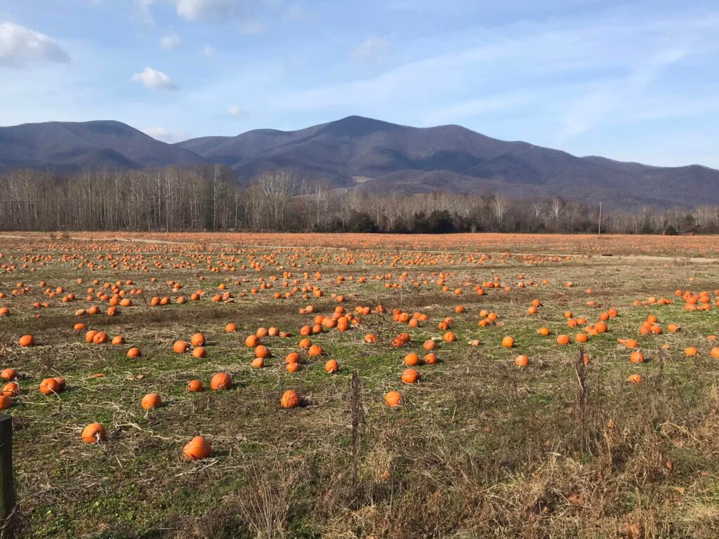
Pumpkin farm. Thousands of rotting pumpkins. 🙁
The Reid’s Gap climb left me pretty beat. I never remembered that the last mile was 13% with grades even higher in spots. But unlike 14 years ago, I powered, albeit slowly, to the top. And this day left me feeling better about that hot day in August 2007. That was a tough climb then and now.
QUICK THOUGHTS: I last rode this before we had GPS bike computers and therefore, did not have comparison times. Nor was a sure of the exact route that I created to ride today. We definitely did not ride on Patrick Henry Highway. I could have shaved six miles by tracking Rte. 680 at Tyro to Beech Grove. That looks like the road that comes into Beech Grove that we took except it has about one mile of unpaved surface on it. I don’t remember any gravel from 14 years ago. I doubt that I do this ride again but that modification to the route is worth looking at.
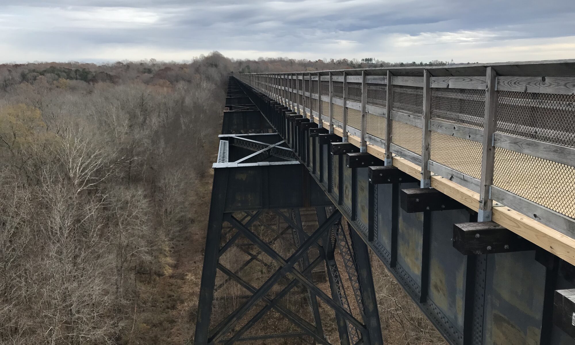
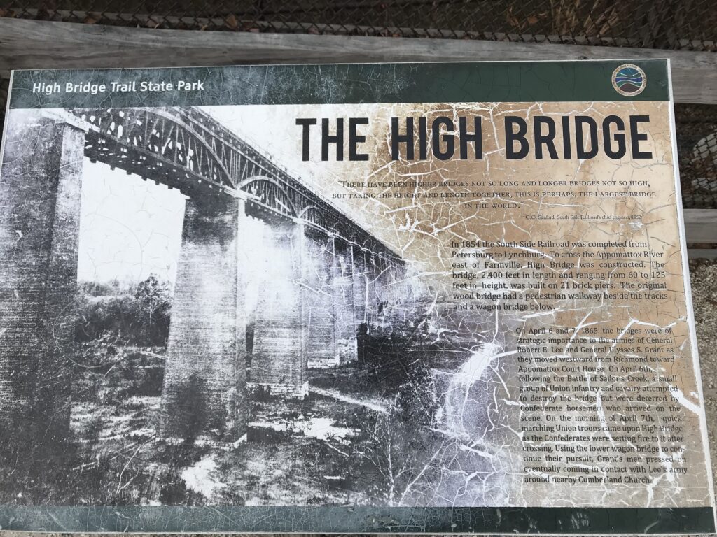
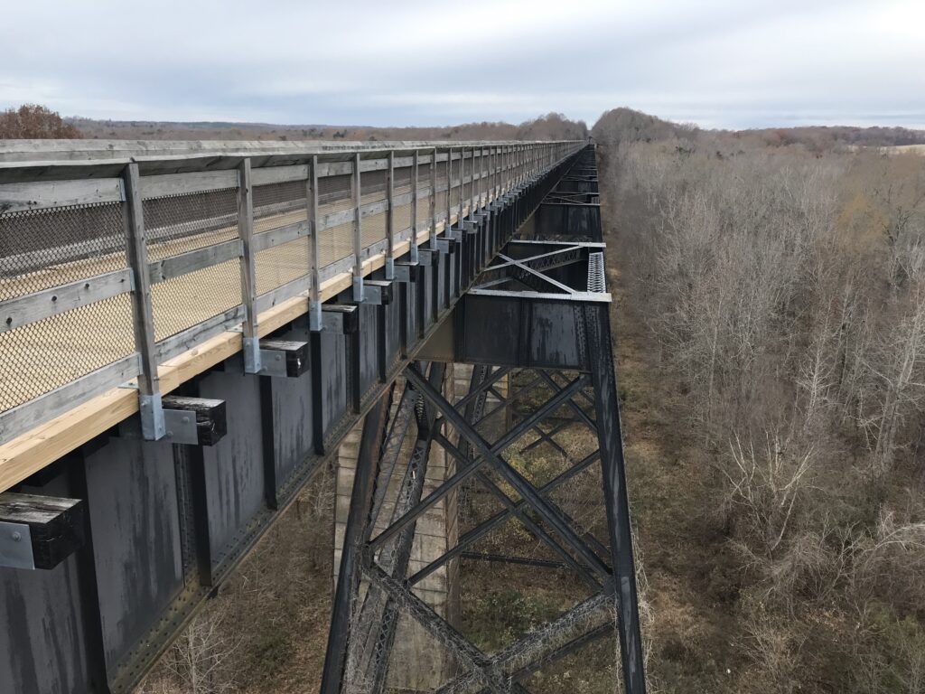
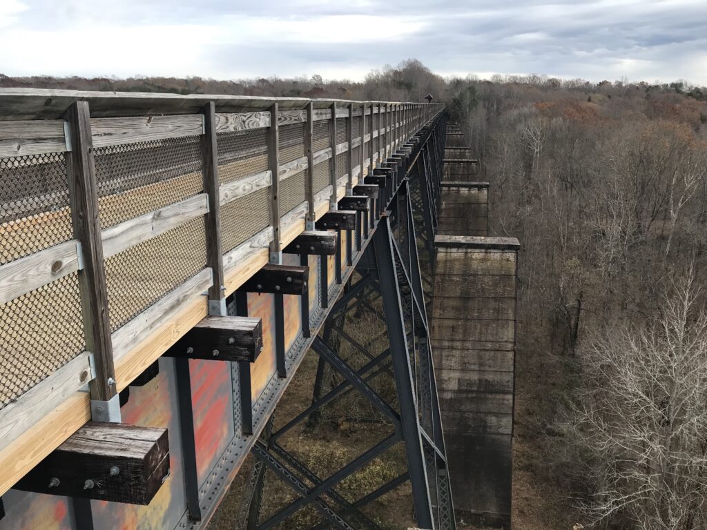
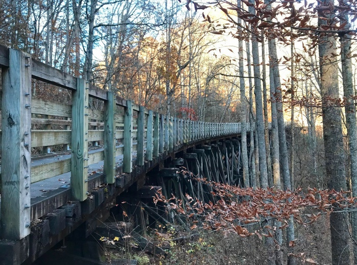
“There have been higher bridges not so long and longer bridges not so high but taking the height and length together, this is perhaps, the largest bridge in the world.” – C.O. Sanford, South Side Railroad’s chief engineer, 1852
High Bridge
I first stumbled upon High Bridge, or High Bridge State Park, while on a charity ride in 2013. Our route for the day didn’t take us anywhere near this site but that was the problem. Our map didn’t take us anywhere. The organization wasn’t organized and after making a 30-mile loop we were back to where we started. Someone (me) saw the trail and the signs to High Bridge and we made a deal. Let us ride over the bridge and we’ll call our 50-mile ride to nowhere a ride to somewhere and drive the rest of the way to Raleigh.
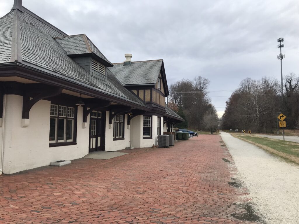
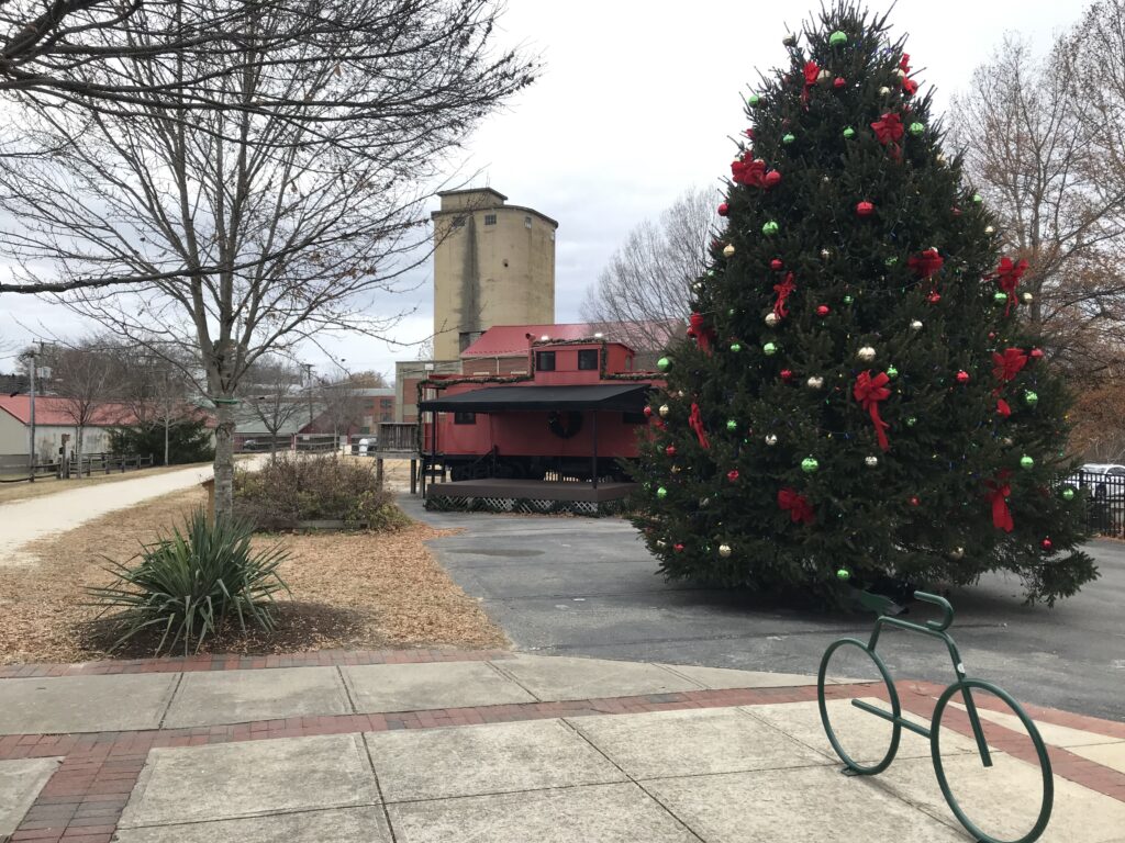
Train station, Farmville, Va.
It was an early Spring day in 2013 and there were lots of users out on the trail. I wanted to see it without people so I chose a day in December. And I didn’t see any users until I was nearing the end of my ride when a couple went by on bikes. It was a gray day with temperatures in the upper 50s. I would have preferred a few more degrees or sunshine but I could not control that.
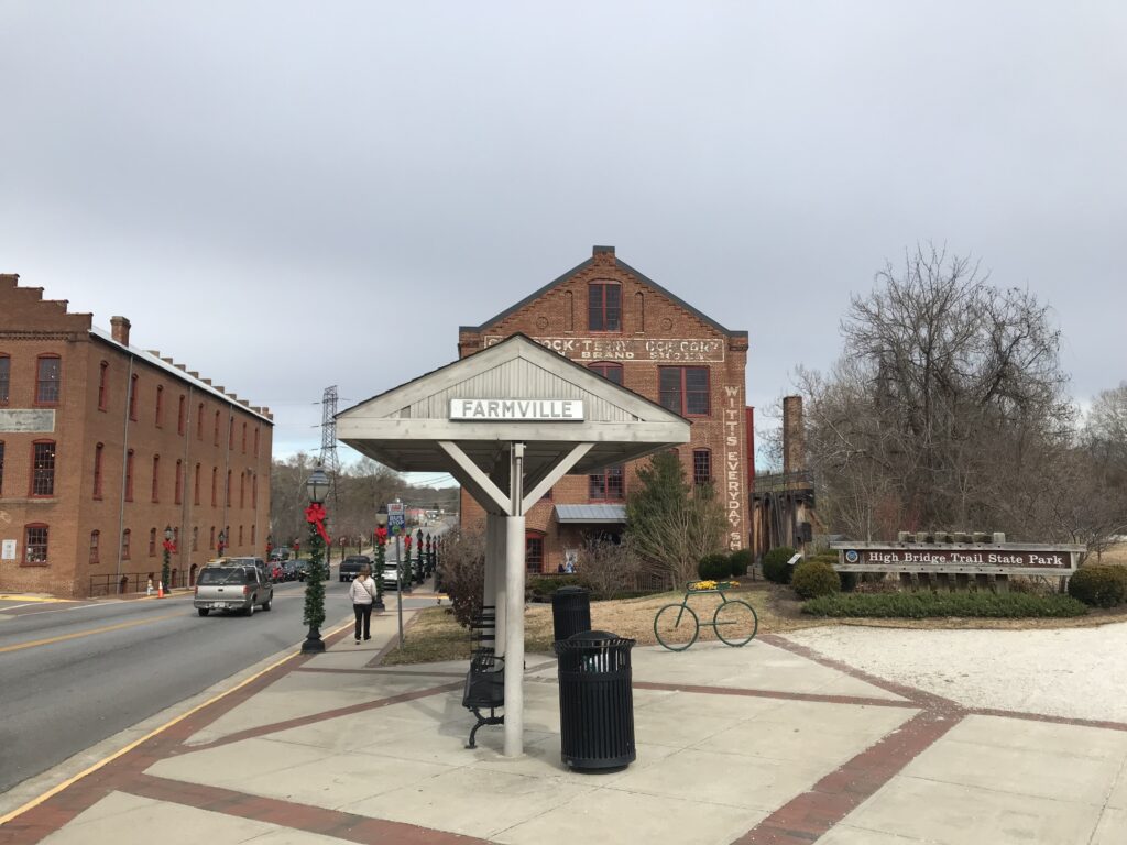
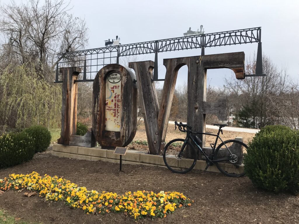
Farmville, Va.
I chose to park in a shopping plaza next to a Cook Out restaurant. I wanted to see a little of the charming town of Farmville and not just stick to the trail. Although the prettiest part of the downtown I bypassed by staying on the trail. It’s charming nonetheless.
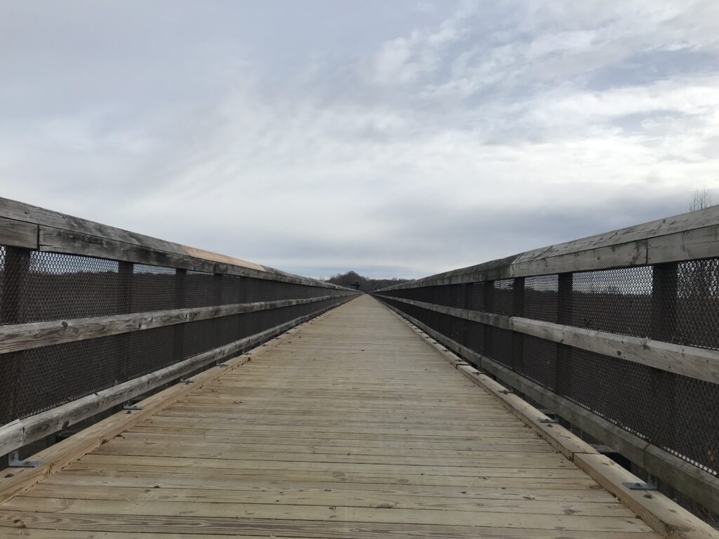
High Bridge
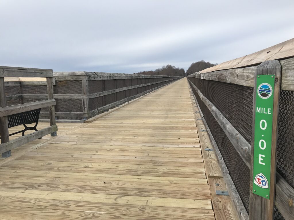
In preparation for the ride, I read some trail reviews on TrailLink.com. What junk reviews. One user complained because Mile Marker 0.0 is in the middle of the bridge and they count up from there – in both directions. He stated he wouldn’t be back. Who really cares?
MM 0.0 The center of the bridge
Other users complained because the bridge is the only fixture on the trail. They don’t make trails based on your model train layout. Another complained that the crushed limestone was really gravel. Well, duh!
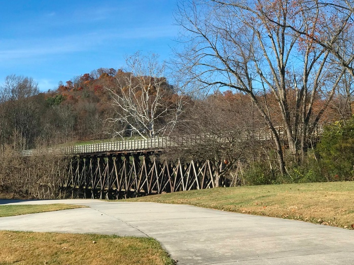
High Bridge Trail
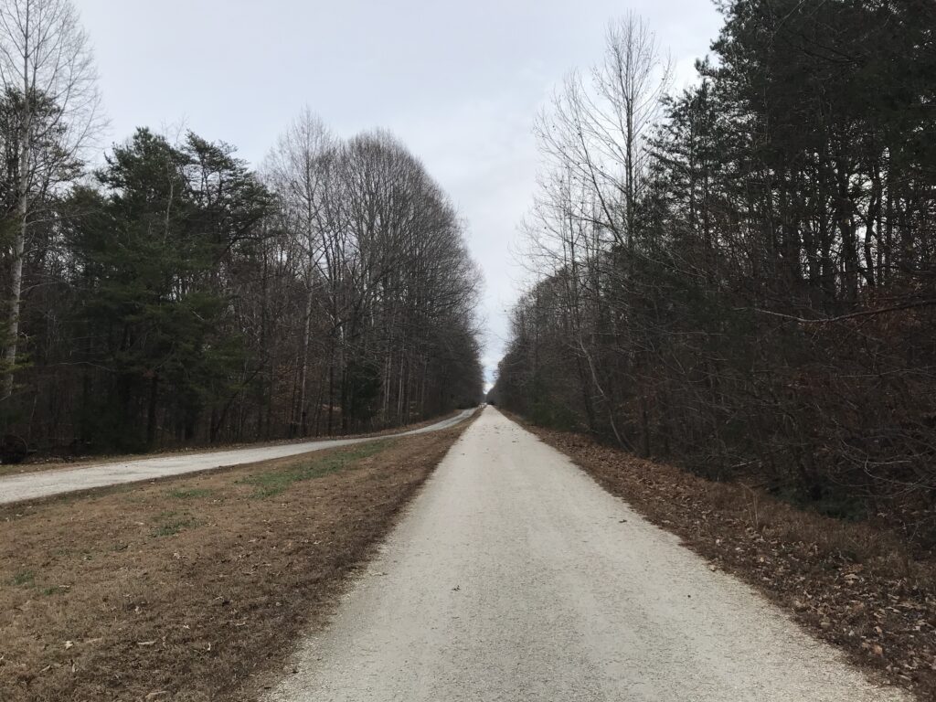
It’s a rail trail. Almost all of its 33 miles are flat (a feature of most rail beds turned rail trail). There are no great vistas along the trail except for one and it’s really great – the bridge. The surface is crushed limestone which was mostly packed solid making for a very passable surface even for a road bike – which I rode today.
High Bridge
Farmville is a charming college town. Longwood University is located here. From Farmville to the bridge is 4.5 miles (7.25 km). The trail is not a thru-trail, unlike the Great Allegheny Passage which connects Pittsburgh with Cumberland (and to Washington, D.C. via the C&O Canal Towpath). Is it a “destination” trail? Maybe, depending on your perspective.
Downtown Farmville, Va.
I don’t know that I would plan to vacation here, unlike the Pine Creek Trail in Pennsylvania’s Grand Canyon. Thirty-three miles is a little short for a destination trail. As mentioned previously, there is but one fixture, High Bridge, but that alone makes a trip here worthwhile.
High Bridge
I enjoyed the peace and quiet of today’s ride. It was weird not seeing any other users except that couple near the end. I saw four dogs roaming around. One had a really bad coat of fur but also a ribbon around his neck. They didn’t approach me and while I thought of approaching them, I did not. Likely as not to be someone’s pets that were off-leash.
High Bridge Trail in Farmville, Va.
Bottom line: If you’re anywhere near the trail, take a ride, a walk, or a run on it. The bridge is awesome.
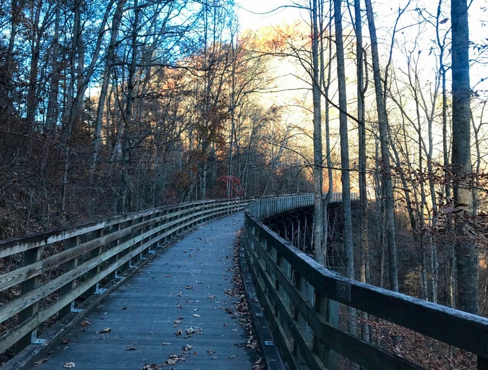
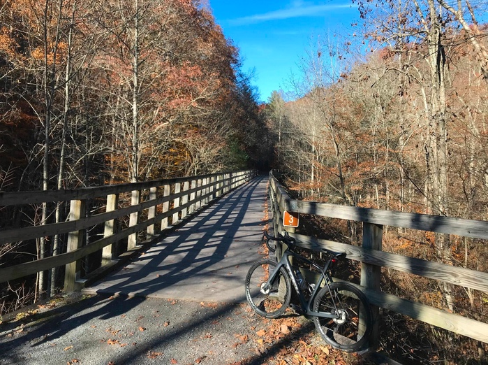
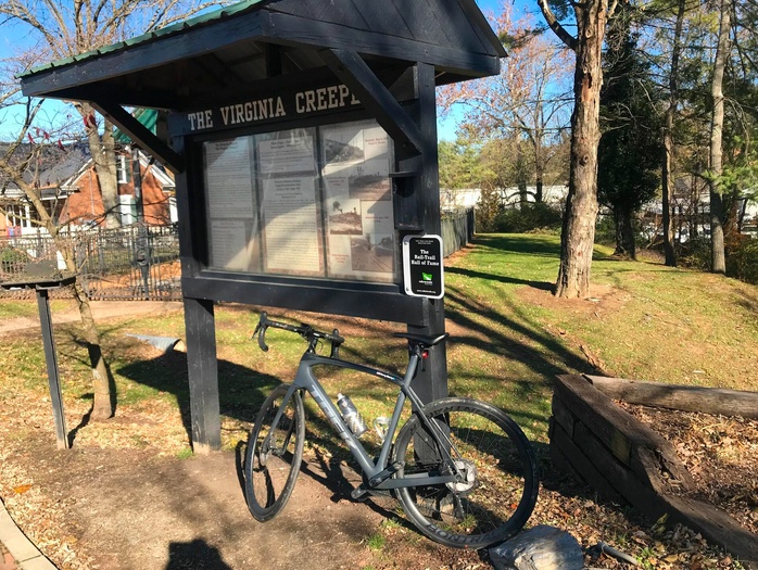
The Virginia Creeper Trail had intrigued me for a while. I did not plan to ride it, especially this time of year. But a trip to Florida and I decided to get a taste of it. The experience on the trail would determine whether I want to make this a destination trip at some point.
Creeper Trail – Abington, Va.
I was traveling from Pennsylvania to Florida and had my mother with me. We left Somerset and there were three to four inches of snow on the ground and on the road. My consecutive days ridden streak was now at 1,049 straight days and I hoped to be able to finish a third consecutive year of a ride every single day. I would need a ride today.
Bridge 1
It would be a long day in the car and I tried to stop with my mother at least once every two hours. I saw we would pass through Abington, Virginia. I knew the Creeper Trail went through or to Abington but I didn’t know much more. But I would figure it out.
Creeper Trail covered in leaves
It never warmed up but the 44 degrees were much warmer than we left behind in Somerset. I told my mother I would need about 45 minutes and we took a break from our trip from Somerset, Pa. to Gatlinburg, Tenn.
We parked at a trailhead and thought I might have an option of going north or south (or east or west). But Abington is the terminus so there was one way to go.
And the direction was down. The trail goes 34 miles to Whitetop Station in the Mount Rogers National Recreation Area, at the Virginia-North Carolina border.
Bridge 3
The trail is a crushed limestone trail. In November the gravel is mostly covered by leaves. I was on my Trek Domane road bike and had no problems on the trail. I saw some neat fixtures (trestles).
Abington, Va.
We had parked in a lot and my mother took the opportunity to walk out on the first trestle. I was gone for 55 minutes as I was not making good time on the leaves. It was a very nice diversion and I certainly would ride it again if I’m in the area. Given my distance (178 miles) from the trail, I don’t know that I would return just to ride this trail. But if I was in the area I certainly would.
A View from the Creeper
There is a shuttle in the area that one can use to go to one end and ride back to the car. I thought the grades on this trail were a little steeper than some of the trails I have been on and that would be a fun option to explore. But this was a nice ride on a chilly Fall day. My 1,049th consecutive ride.
It was a most beautiful day. Tim and I drove to Richmond and parked at the Great Shiplock Park which is about one mile from the Richmond Main Station. We rode to the station and waited.
Tim and the Great Shiplock Park
If only someone knew how to run a train. Sigh. A woman greeted us (nice) and told us the train was running late. Still under pandemic protocols, most of the large open station was closed off so people had to be in one area. The doors to the outdoor platform where one could breathe fresh air were locked.
Entrance to Main Station, Richmond
When the train arrived and arriving passengers disembarked they could not open the doors to get into the station. And we could not leave to get to the platform. Finally (maybe no more than two minutes but for some people, it probably seemed much longer), an employee came and opened the doors.
Great Shiplock Park (viewed from Amtrak)
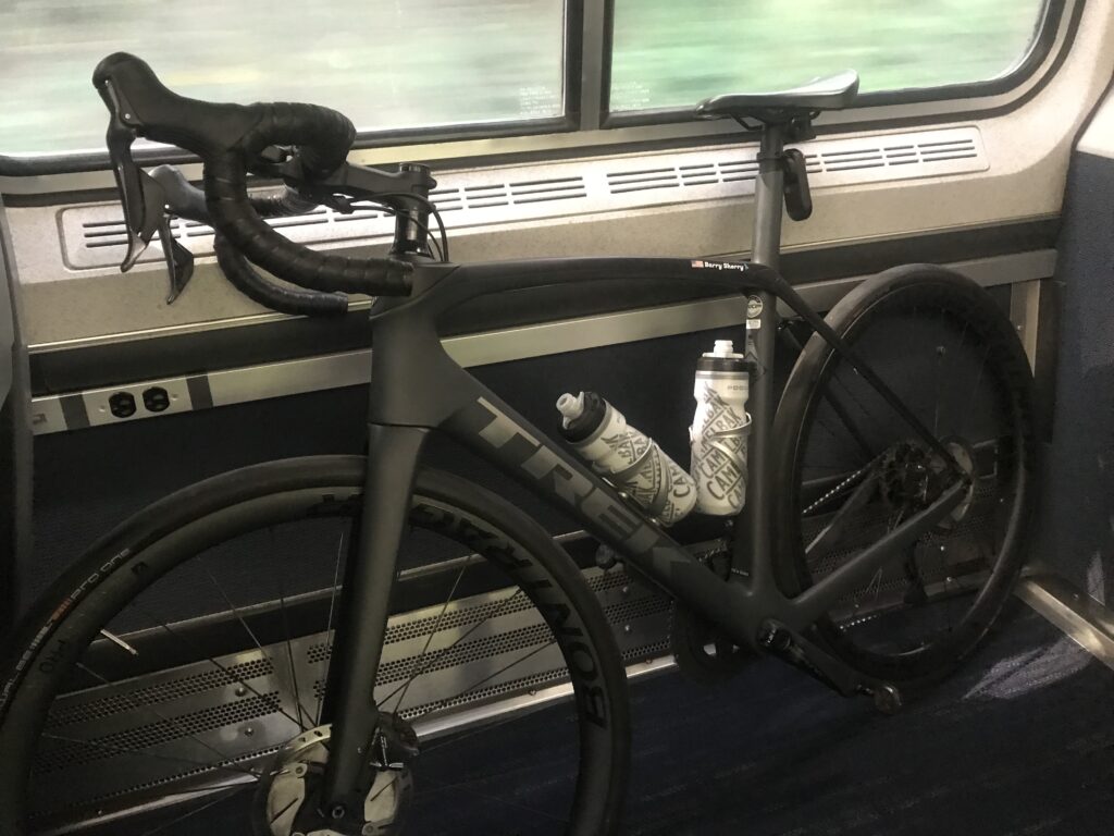
Tim and I rolled our bikes onto the platform. The conductor said he had a bike rack in this car and “back there.” I guess I took this one and Tim went back there. We went to separate cars.
My bike aboard the train (ready to disembark)
The rack had one hook and I tried to hang my front wheel but the hook didn’t like a deeper rim that I had. I was able to turn it just right and hang it. I then saw an instruction sign that said to remove the front wheel. Not sure how that would have worked. I didn’t have my tool to remove the wheel readily available.
That also tells me Amtrak is not accommodating of many bikes. They must anticipate quick-release skewers which have been replaced by through-axles. Depending on the bike you may need a special tool to remove the wheel. I use a mini-rachet which I did not have with me. For an emergency, I could get to one in a tool kit inside my frame. As for bikes with bolted-on front wheels, they would be out of luck too. Amtrak can do better if they want to.
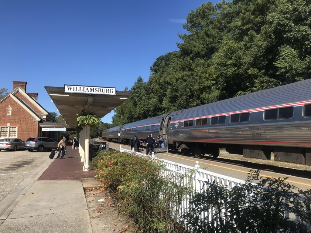
About halfway through the ride I put the bike in a luggage area. It fit better. I actually through we were approaching Williamsburg and was getting ready. But we weren’t.
Williamsburg, Va.
Once in Williamsburg, we rolled down through Duke of Glocester Street in Colonial Williamsburg. Very slowly. If Tim wanted a faster average speed today I killed it in Colonial Williamsburg.
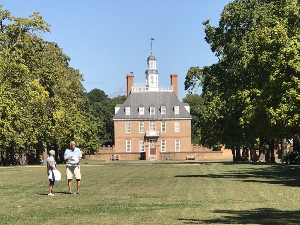
Governor’s Palace, Colonial Williamsburg
Rather than take John Tyler Highway directly to Jamestown to meet the trail, my mapping took us through some residential areas. They were very pretty but I’m not sure about the benefit. The highway did have a bike lane for much of it. I think the only section it did not was where we finally picked it up.
Williamsburg
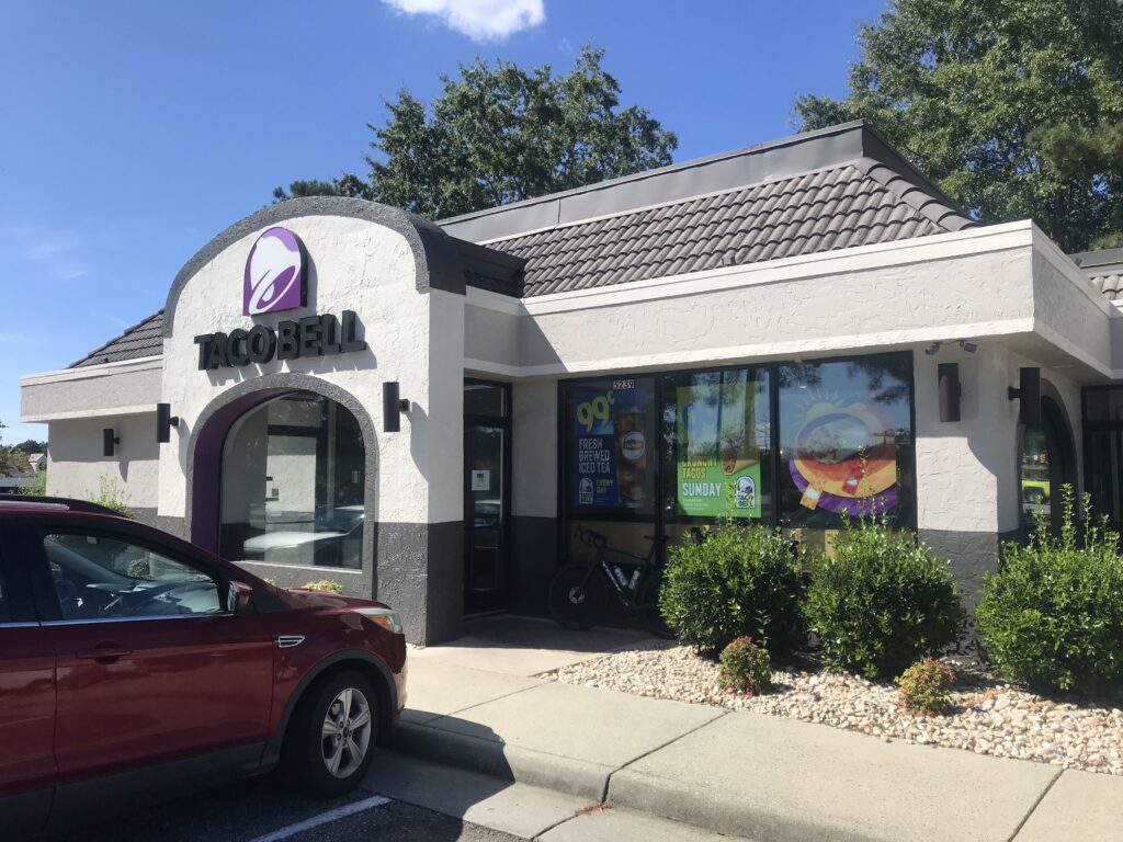
We passed a Taco Bell and grabbed a not-so-quick bite to eat knowing that food options were limited on the ride. It was 11:30 a.m.
Taco Bell, Williamsburg
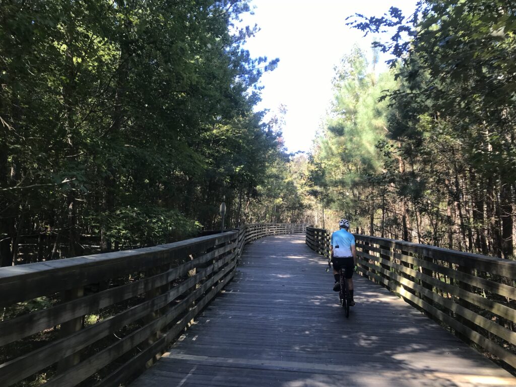
The trail in Jamestown was easy to find. The Virginia Capital Trail is a paved and boardwalk trail that follows the Rte. 5 corridor. While next to the highway almost all of it has a strand of trees between it and the road. When there is no traffic going by one does not see the road and it appears it is a trail in the woods.
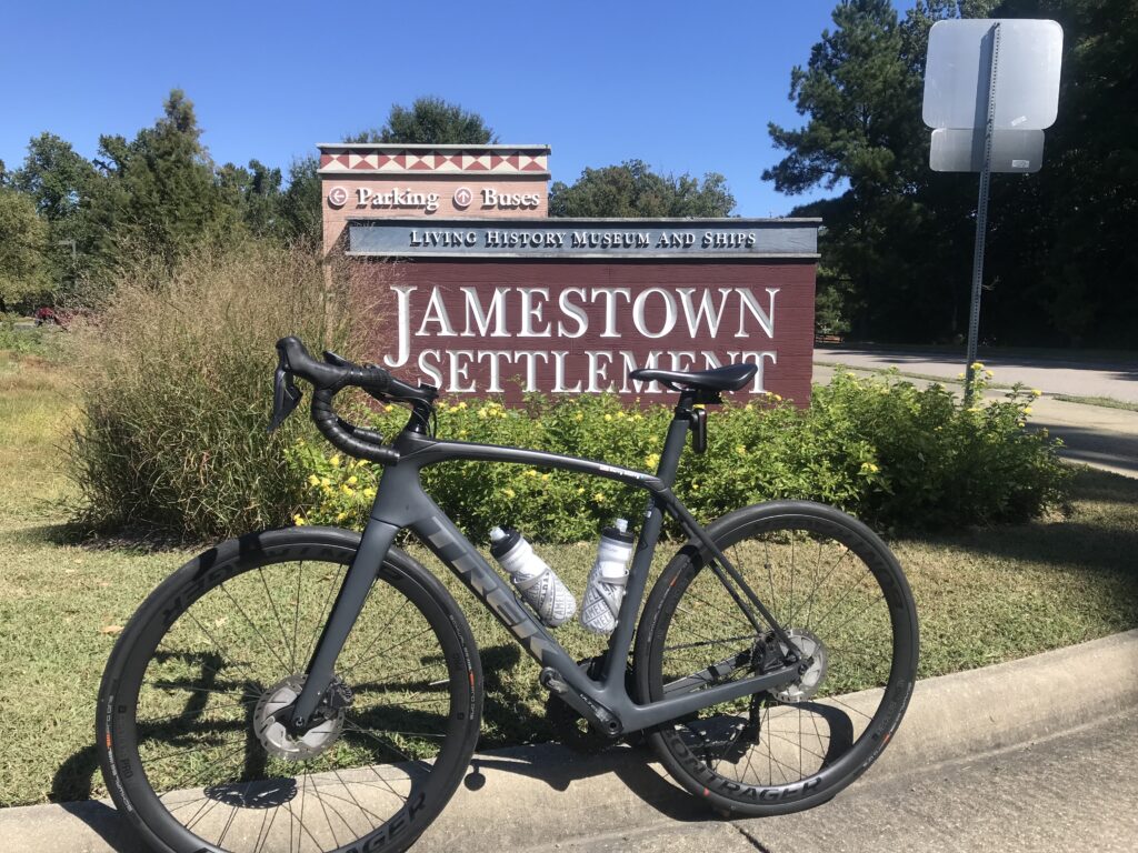
Jamestown Settlement
There are not many provisions on the trail. I had forgotten there was a very nice-looking deli restaurant at Mile 2.5 (Spokes + Art Provisions Co.). At Charles City, there is Haupts gas station which has some good fried chicken. Also in Charles City, there is Cul’s Courthouse Grille. And then northing until Mile 48.
The long bridge at MP1
We had a wonderful headwind most of the way. But it was 72º and it was great.
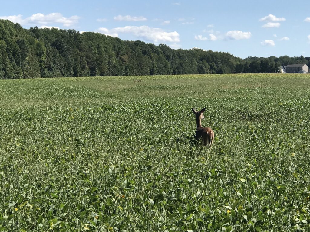
A deer is outstanding in his field
At Kingsland Road we left the trail as I opted for some back roads which added two to three miles. Tim was okay with that because he wanted to make sure we rode a metric century (100 km or 62.14 miles). The mileage would do that. These were roads used in the Climb to Conquer Cancer that I have ridder before. And I approved.
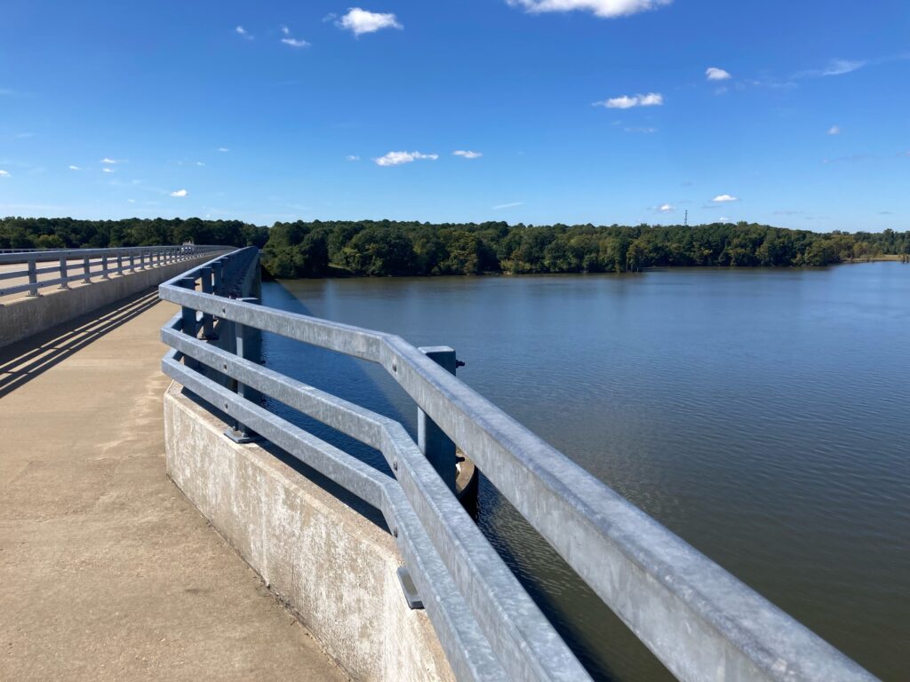
Chickahominy River
We stopped for water when we got back to the trail, around Mile 48 . There is a new 7-Eleven opening soon but was a store across the highway as well. Tim got water for the last five miles and we began the nice mostly downhill ride to Richmond.
Chickahominy River
I don’t know what picture I had painted of Libby Hill but I think Tim was picturing Mount Washington and not Libby Hill. When we got to Rocket’s Landing I could see the monument atop Libby Hill and pointed that out to Tim. I think he was relieved to see that it wasn’t far away and it wasn’t very high.
Richmond in the distance
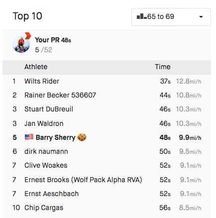
I wanted Libby Hill. Twice I raced it as a timed climb in the Climb to Conquer Cancer. Both times I finished at 0:53. Three weeks ago my time was good enough to win the 65-69 age group at the event. The problem for me is they had a 60-69 age group. I never saw official results and could not easily determine on Strava who I may have lost to but the most important person I am racing is me. And I wanted a good race time today.
Church, Williamsburg, Va.
We came to the gated entrance (no vehicles permitted) and I showed Tim the climb. He thought it might take him four minutes. I pointed out that even if he went half as fast as me he’d still be there in under two minutes.
The trail
I was hoping for one second. I hit the climb from a dead stop. The bike started to bounce. I made the hard left onto the climb and felt the rear wheel slip on the wet cobbles as here there is always some runoff or drainage across the road. It’s about 6″-12″ at best (worst).
One of the boardwalk bridges on the trail
My helmet, which I thought was tight, was moving as were my sunglasses. I never looked at my Wahoo Live Segments to see if I was ahead or behind my PR pace.
Near Great Shiplock Park, passing underneath the train tracks, Richmond
Halfway up is the sharp right-hander. Once I turned it I got out of the saddle. Three weeks ago I tried standing here and the bike bounced so much I sat back down. Today I stood and let the bike bounce.
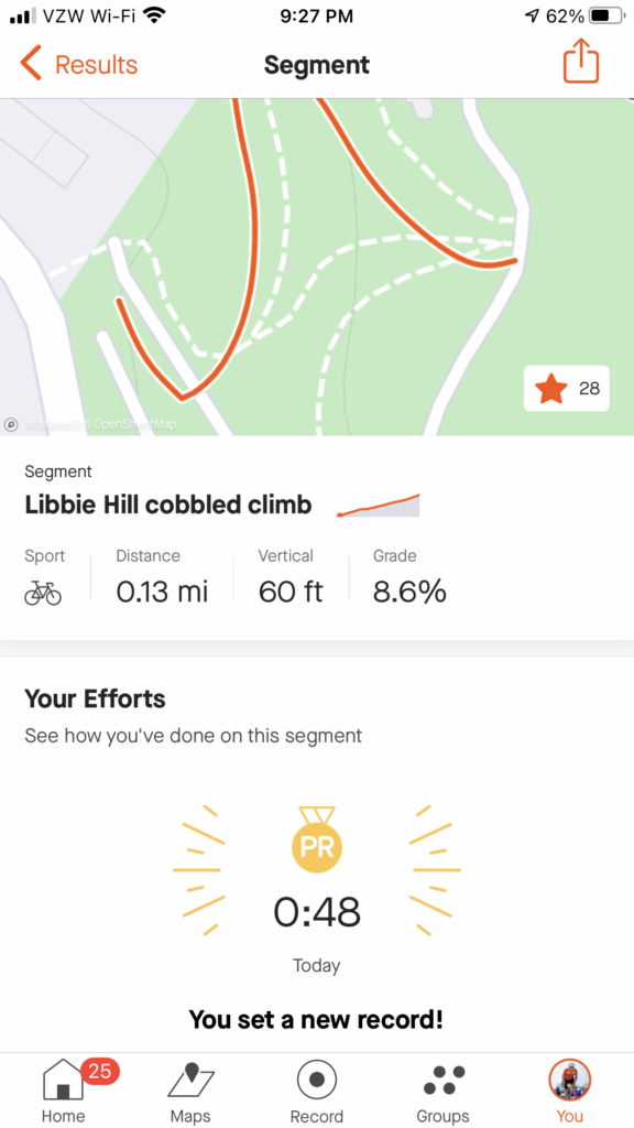
Strava showed me 0:47. Strava disagreed.
I’m not sure if I was out of the saddle the rest of the way or if I sat. But I went across the top and saw the time – 0:47.
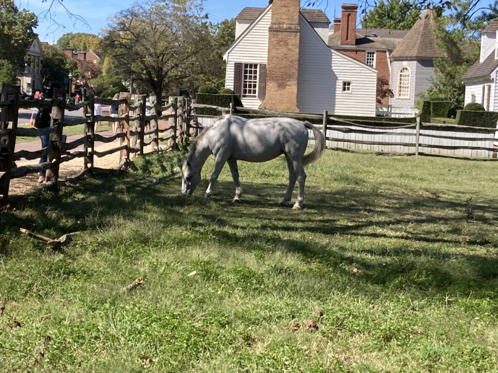
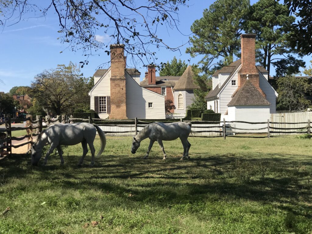
Horses in Williamsburg
I killed it. I destroyed my previous best time. Then I saw Tim was coming and I was encouraging him as well. And in his first time, he came in 1:33. Excellent! Being his first time he now has a marker for a PR for the next time as well.
I beat Libby Hill. Credit: Tim
Officially, Strava would record my time as 0:48. I still destroyed it. And maybe the next cancer climb, a 0:48 would be good enough for the 60-69 group. (They should align with Strava’s 65-69 group but that’s a different discussion.)
The top two times were done on trainers and not actually at Libby Hill
We descended back to the car. Tim saw a parking lot that looked promising to cut through although we didn’t need to. But it had two bridges which led to Stone Brewing. When we exited we were in the outdor cafe area of the brewery. Oops. Let us ride between your tables. We went through the parking lot and were back on the trail only 400 meters from where we parked. In all we rode through three of Virginia’s capitals through history, Williamsburg, Jamestown, and Richmond.
I did not have a good feeling about this weekend. Tires, like most bike parts, have been in short supply since last year. It caught up to me on Monday when I had a flat on my front wheel.
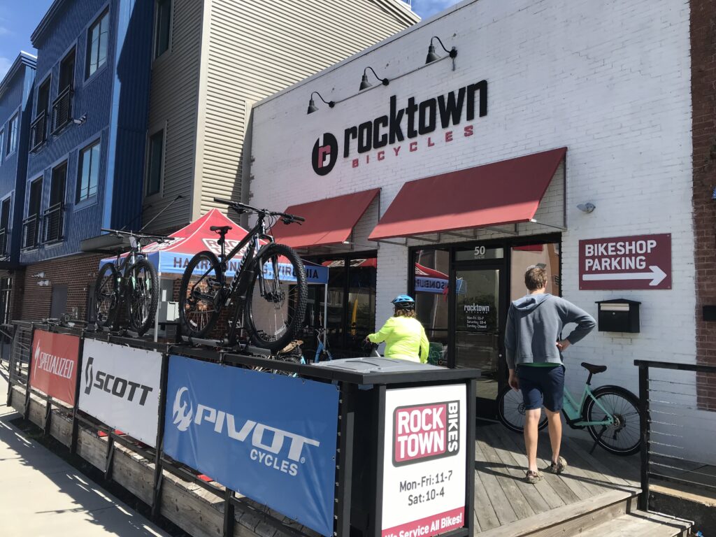
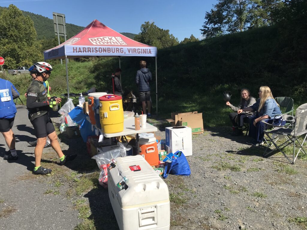
Rocktown Bicycles, Harrisonburg, Va.
I bought replacement Schwalbe tires and installed them on Thursday. On Friday I rode to Fosters in Manassas. While I was eating the rear tire went PFFFFFFT. That was strange for a new tire but I pulled out my repair kit, put in a new tube, and was ready to roll.
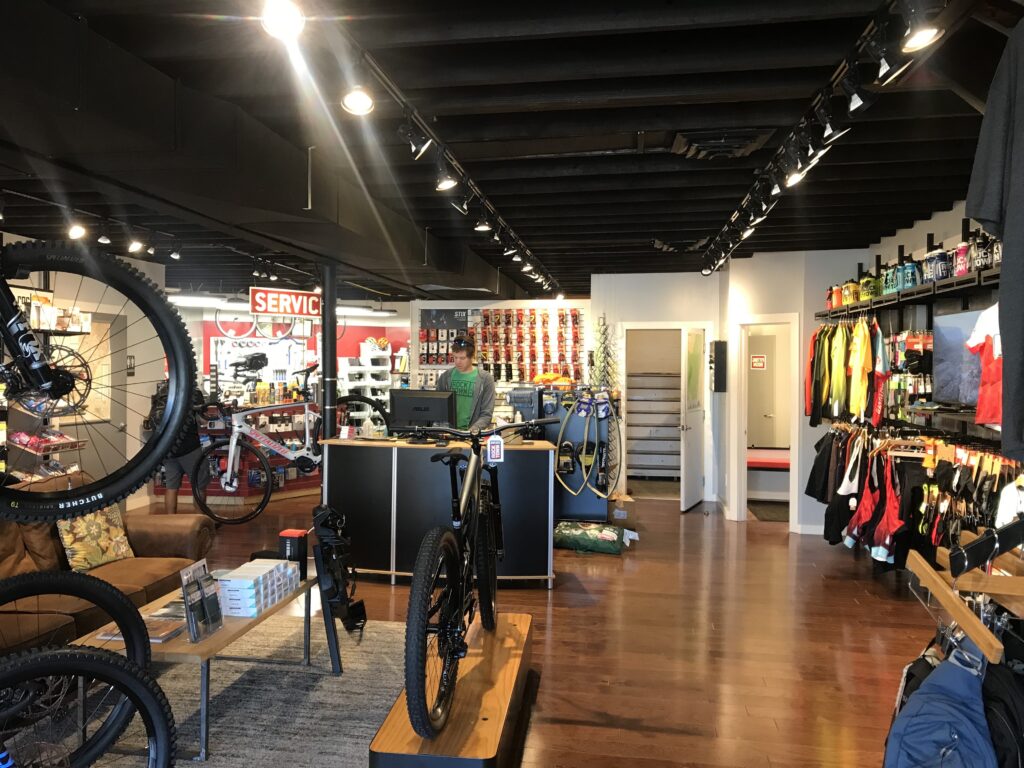
Rocktown Bicycles, Harrisonburg, Va.
The tire held well despite only 40 psi. I stopped at home, brought the pressure up to 90 psi, then finished my ride. After I put the bike back the rear tire went PFFFFFFT. I changed the tire and one hour later the third new tube went PFFFFFFT. Well, it was time to learn my lesson. I inspected the wheel and saw there was a hole in the rim tape. It was 7:00 p.m. on Friday and no place for repair. I would travel to Harrisonburg with a wheel needing repair.
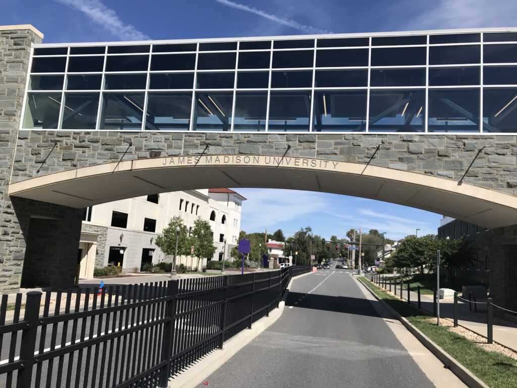
James Madison University, Harrisonburg, Va.
Yesterday I went Rocktown Bicycles in Harrisonburg. This is a very nice shop and Sean greeted me. I told him what I needed and in 10 minutes I was out the door and ready to roll.
Maybe move the post two feet? Harrisonburg, Va.
As the top fundraiser for the Prostate Cancer Awareness Project, I was invited on a private ride at noon with Jeremiah Bishop. But my phone decided to bring in every single saved email and put it in my phone’s inbox. With thousands of emails, I could not find the one about the ride info. I tried unsuccessfully to contact someone about the ride.
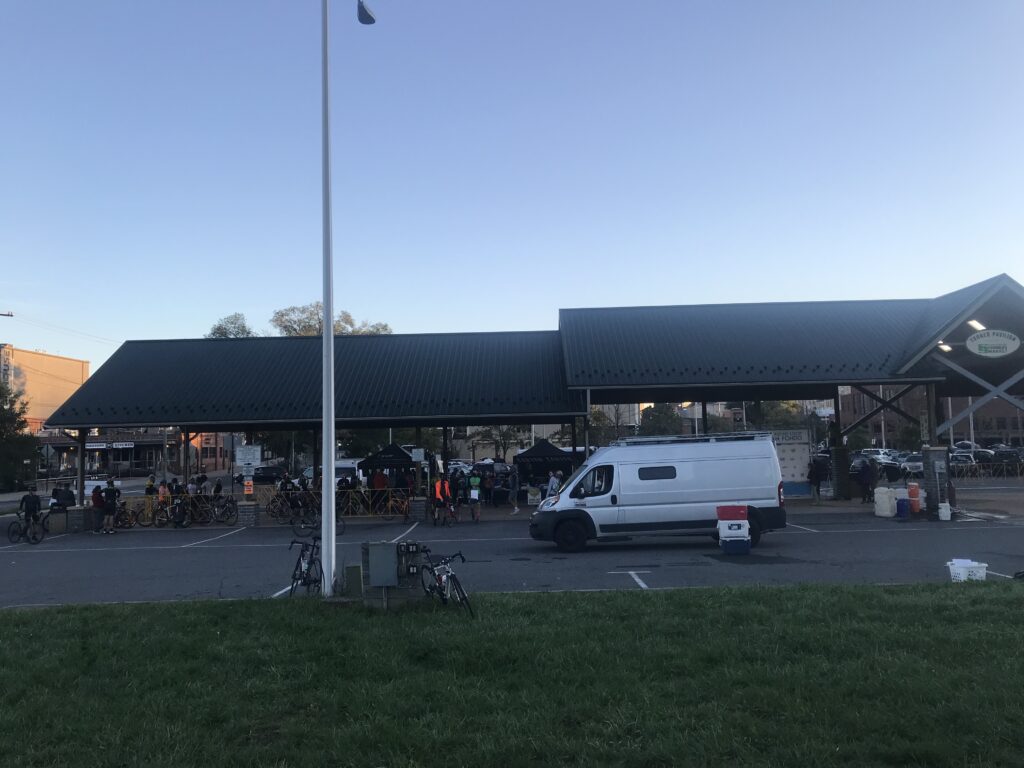
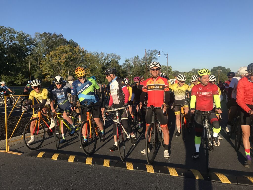
Early morning registration
My alternative was that I went to Brothers Craft Brewing and then the Hotel Madison, two locations we had used in the past. No ride. Since registration was at 2:00 p.m. and I decided to ride around town. And that was OK because I did not need a 30-mile ride before the Alpine Loop Gran Fondo.
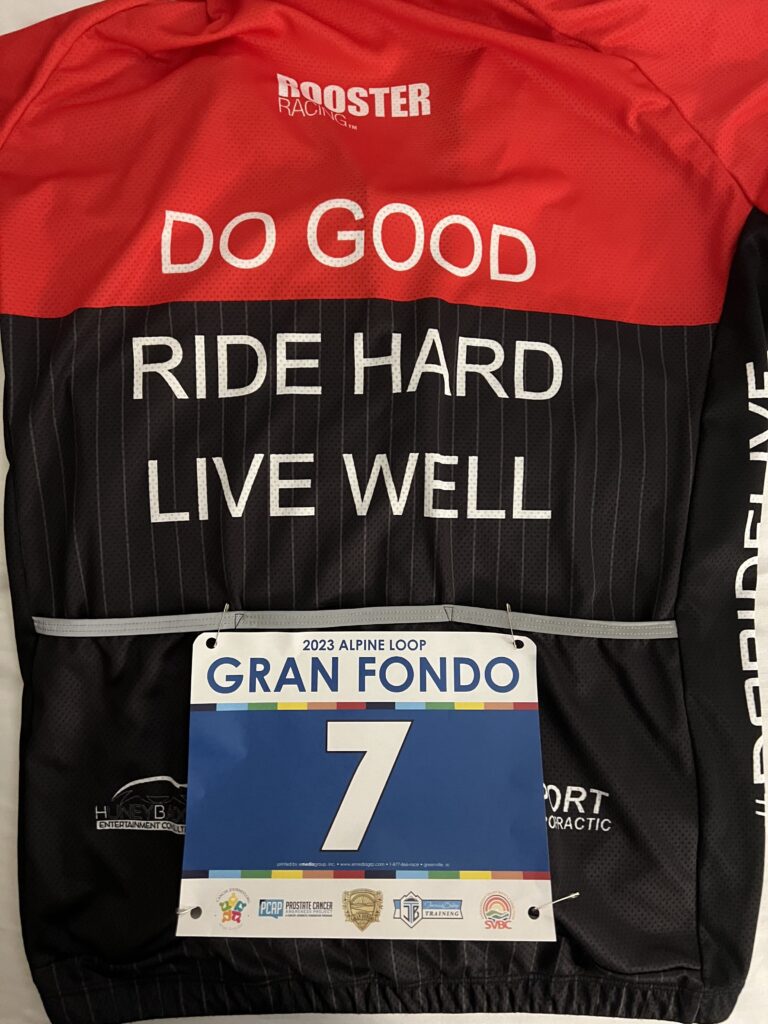
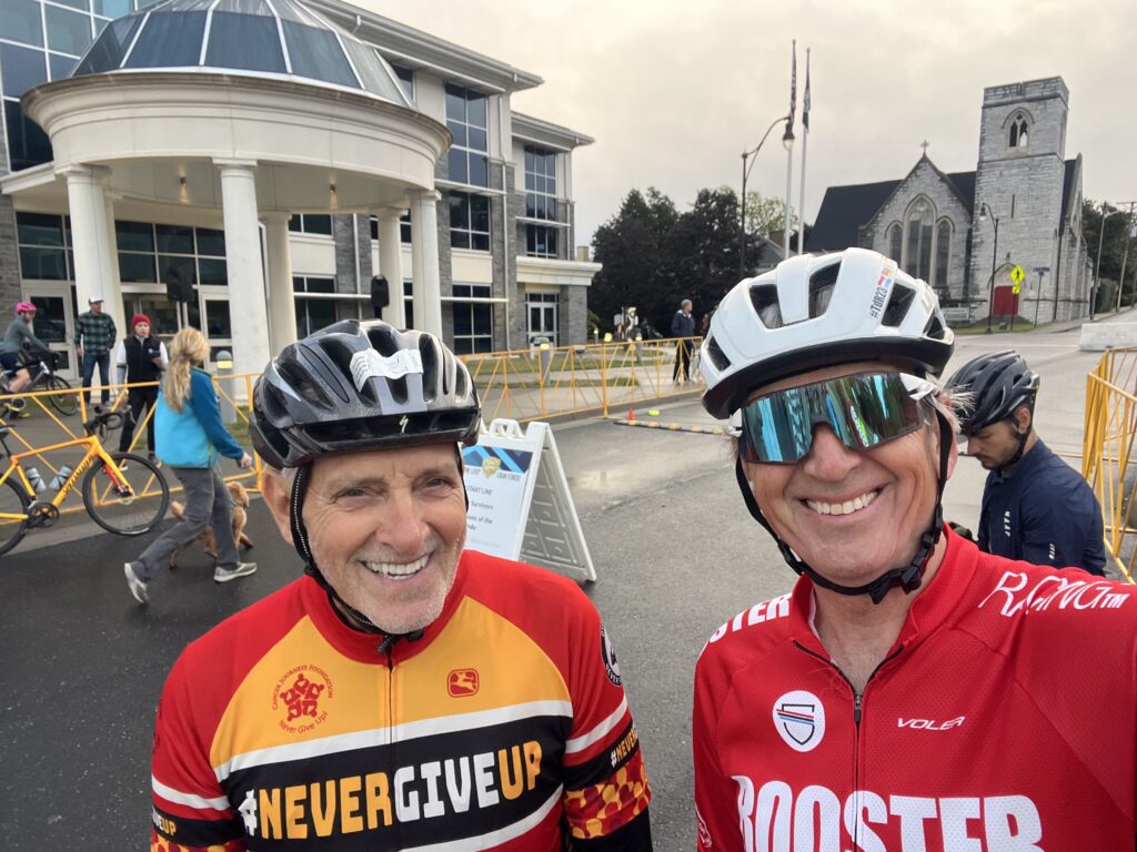
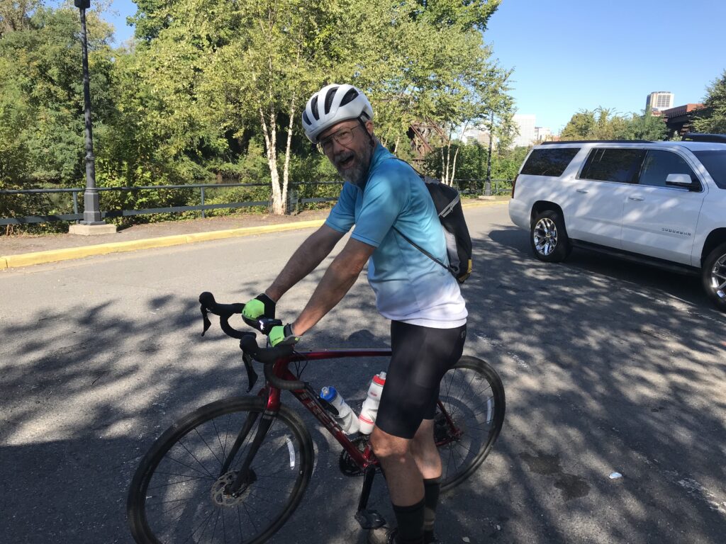
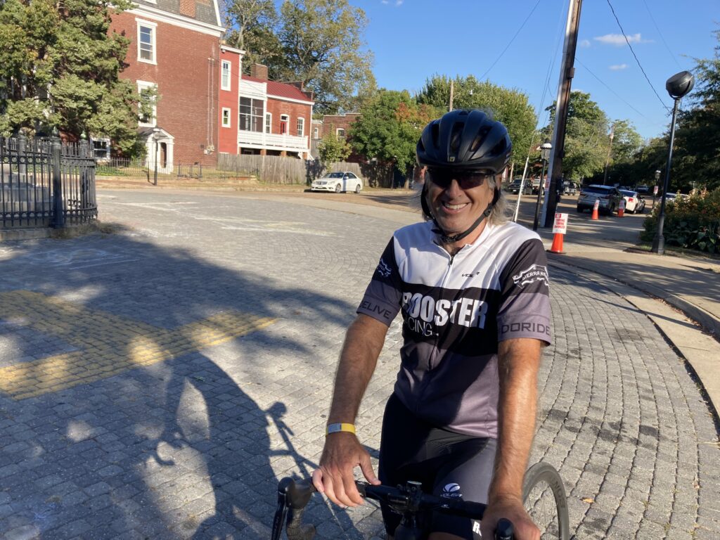
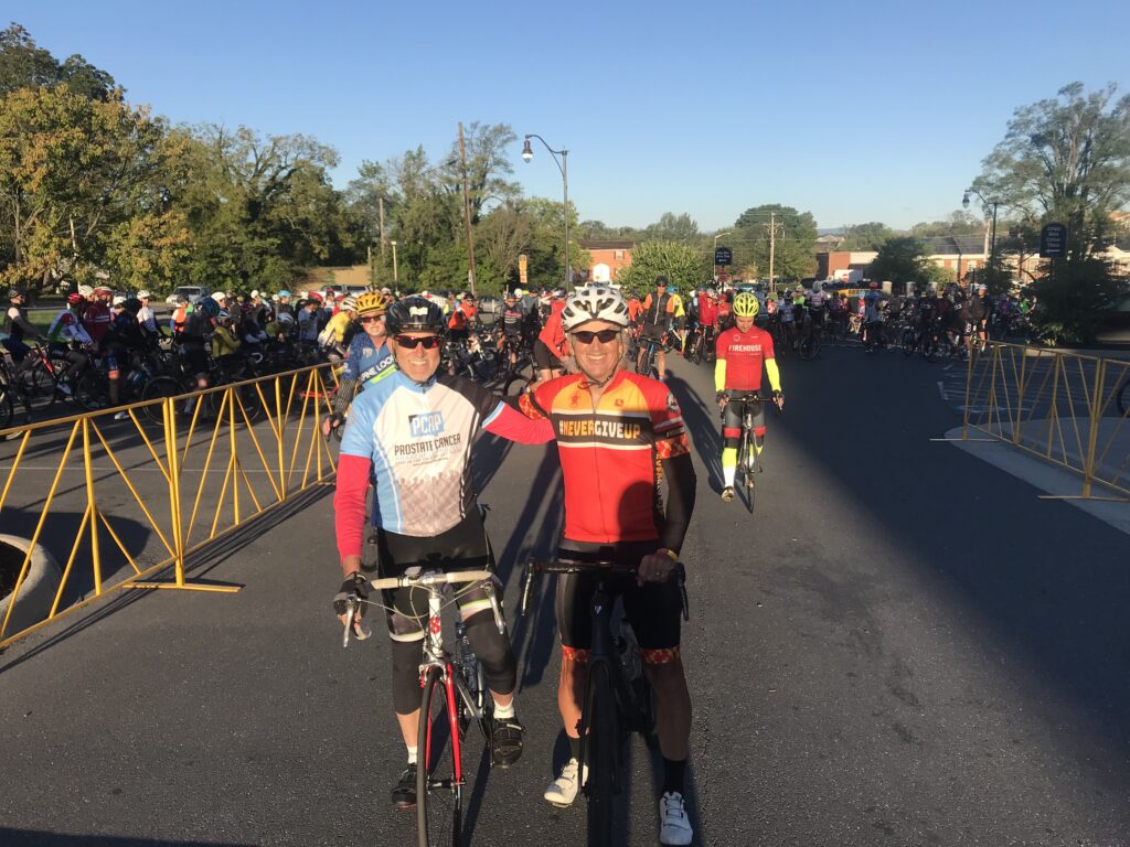
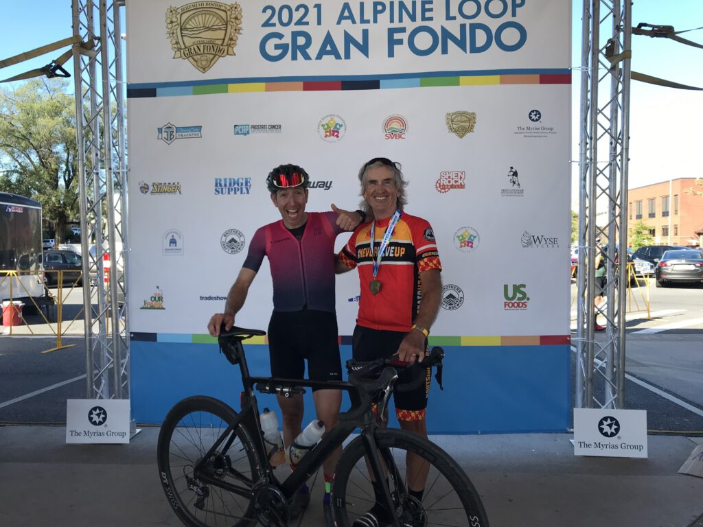
Robert Hess and Barry Sherry line up first for the roll out
I stayed in town at Tru by Hilton. Who uses alarm clocks? Well, the guest before me, that’s who. At 5:00 a.m. the alarm went off. I was not ready to get up. And I didn’t know how to turn off the alarm. I unplugged the clock and started my day with one less hour of sleep than planned.
The starting line – my vest was in my back pocket for the photo
I drove to the venue after thinking I would ride there. But U.S. Rte 11 looked sketchy (curb to curb, no shoulder). Once I arrived I got my timing chip and then heard my name being announced as the top fundraiser. I went to the mic and told my “secret” to raising money. “You have to ASK people.”
The choice today was 78 or 100 miles. These are the same routes except for the addition of a 22-mile loop. At the start I wasn’t “feeling” 100 miles. I got my bottles ready, grabbed some food, and went to the starting area. It was 48º. I put on a vest and arm warmers.
Robert are you in there?
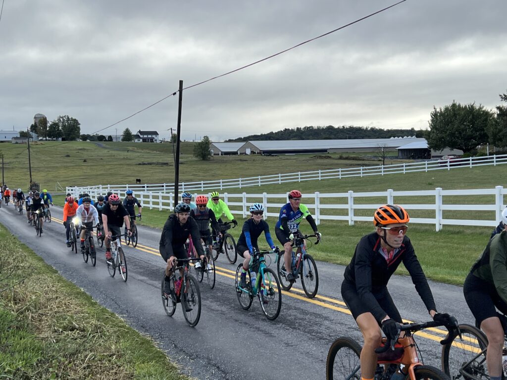
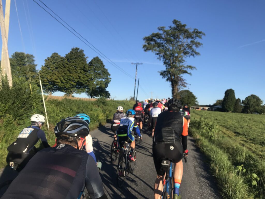
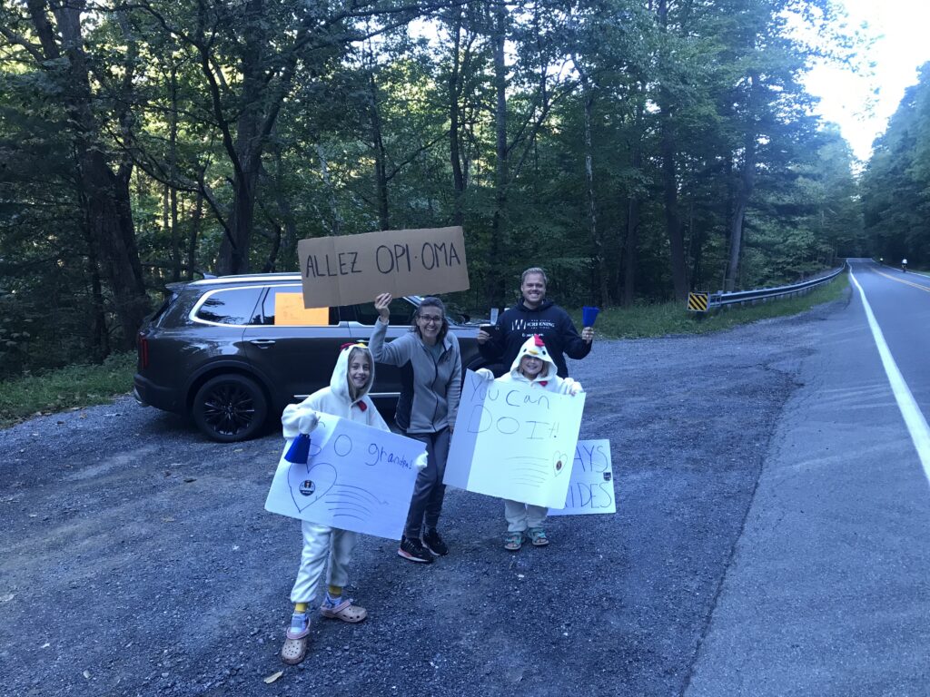
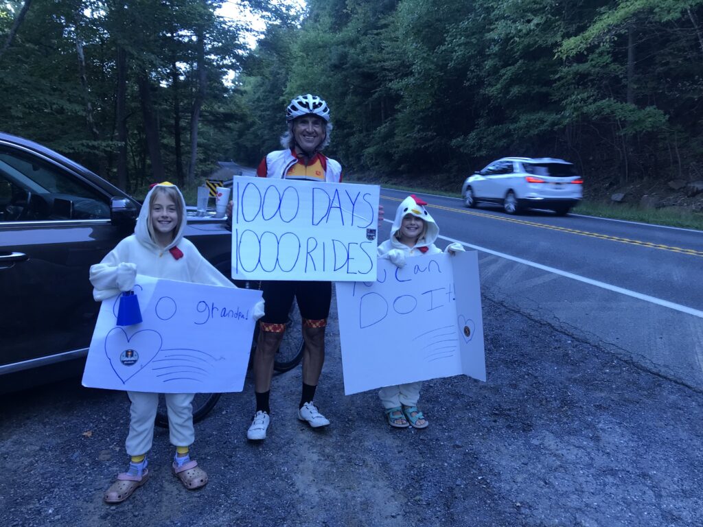
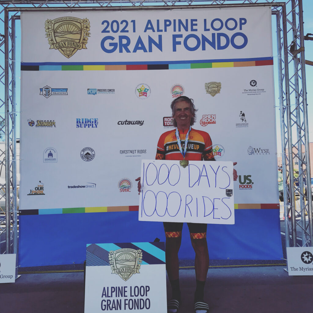
We rolled out of town. Once we turned on Switchboard Road I let people pass me. The road is crowded and it’s tight. I just don’t trust the big group. And I had a bigger goal. At 10 miles into the ride I would “celebrate” 1,000 consecutive days of riding at least 10 miles. I didn’t want to be taken down in a crash which almost happened beside me when a rider clunked his gears, came to a start, and was almost rear-ended.
Our fan section
Also, further back was Robert Hess. I pulled over to wait for him. I didn’t see him so I continued. But when we came to At Whitmore Shop Road I waited for him to arrive. We chatted for a few minutes and then he went left and I went right. I already let the main group gain 4-5 minutes on me.
Proud Grandfather
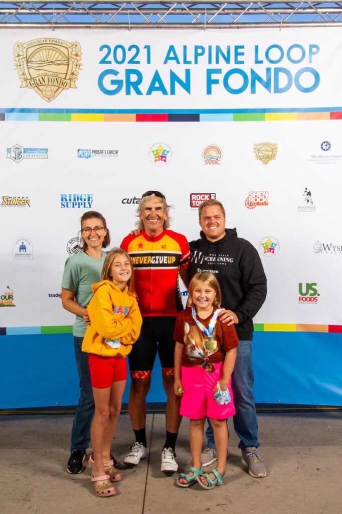
I told Ashley and Bryan they could expect me to roll by at 9:00 a.m. And at 9:00, I saw them up ahead on a pull-off area just before George Washington National Forest. They had signs cheering me on. I stopped for about five minutes, gave the girls a hug, and told them I would see them at the top.
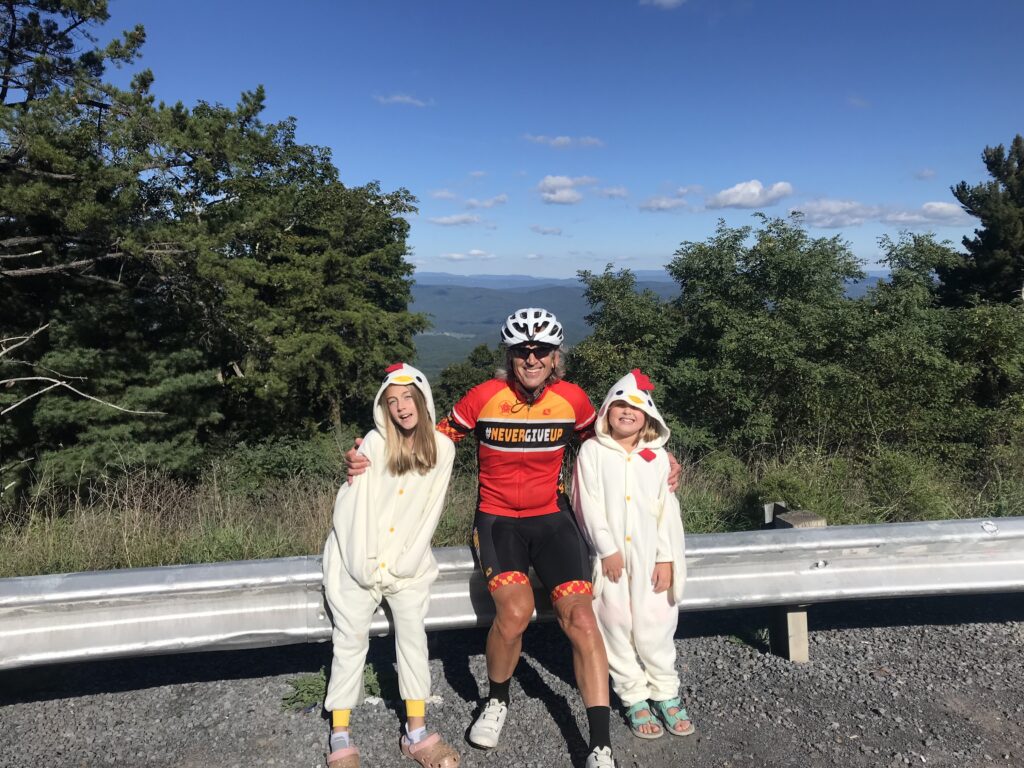
Chickens on High Point
I hit the climb which is a timed KOM segment. After four or five minutes I looked at my Wahoo computer. I was only eight seconds behind my all-time best which was 10 years ago. I had no idea.
Another minute or so and I was only down six seconds. I started to think that maybe I could get a PR. I was 10-12 minutes in when I saw I was ahead by two seconds. And I was catching people. I was feeling good. Every previous attempt I was trying to count the distance to the top. Today I didn’t even notice. Everyone up the road was just a new target to reel in.
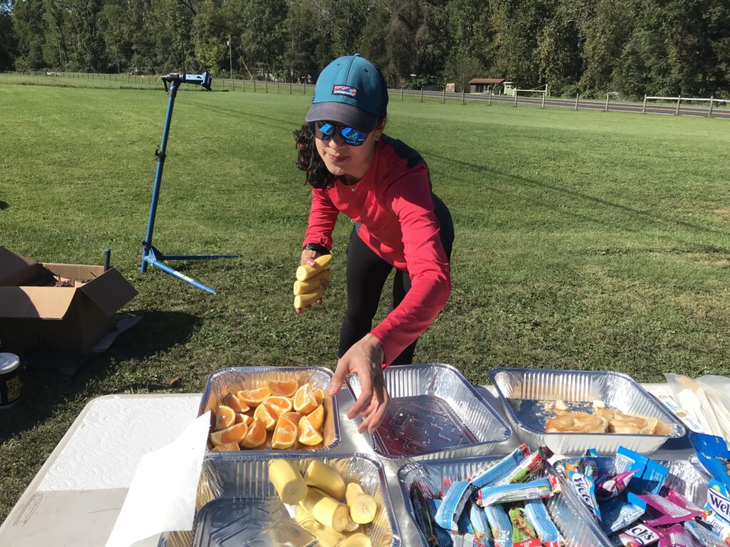
Volunteer at the rest stop in Brandywine, WV
In all, I caught and passed 11 people on the climb and did not get passed by anyone. Of course, I was almost dead last when I started so who was left to pass me? I was up 1:02 when I reached the top. A PR! I was very excited.
Rest stop at Sugar Grove, WV. Rocktown Bicycles provided the bike support.
At the top, the girls were waiting for me. My day was made. No matter what else happened I PR’d Shenandoah Mountain and I saw the girls on course. It would be a great day. When they told me that they would be in town in the afternoon I decided I would do the 78-mile ride so they could see me finish.
Sugar Grove, WV
I bombed the descent on Rte 33 to Brandywine. I made it over to the rest stop which is at the base of the climb up Reddish Knob. After a short break and a small can of Coke, the climb began. I don’t know what happened but almost immediately I was 40 seconds behind my best time. But the time began to come down. And I was catching and passing people. The Live Tracking on my Wahoo stopped working and I would have to wait to find out if I set another PR. (I did.)
Start of the climb up Reddish Knob
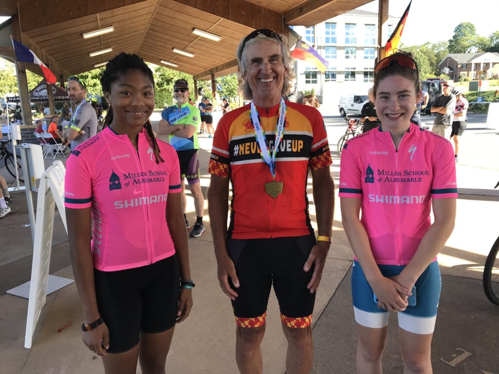
I passed two girls from the Miller School of Albermarle. I had been chatting with them at the rest stop and they were pulled over. I really admire these young kids. Since they weren’t in immediate distress I continued on but decided when I reached the top I would turn around and go back to shepherd them up the climb. I passed the KOM finish but realized it was about a half-mile short of the Strava segment. So I had to keep going to the end when I could turn around. In all, I passed 10 riders on this climb. I was passed by no one.
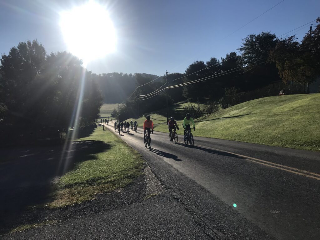
Flying down the mountain
Going back down I met the girls then turned around. One of them had to stop to take on a gel. But other than that they were riding well. When we reached the summit we started down Reddish Knob. I warned them the pavement was crap but they did not heed the warning. They flew! At first, they gapped me but I eventually caught on. They were taking too many risks for my liking as I hung on.
Flying down the mountain
As the road started to level out, we slowed down and just chatted. As we left the steeper part of the mountain which was mostly traffic-free, I went to the front and they stayed on my wheel until we reached the next rest stop together. They told me they were riding the 78-mile route.
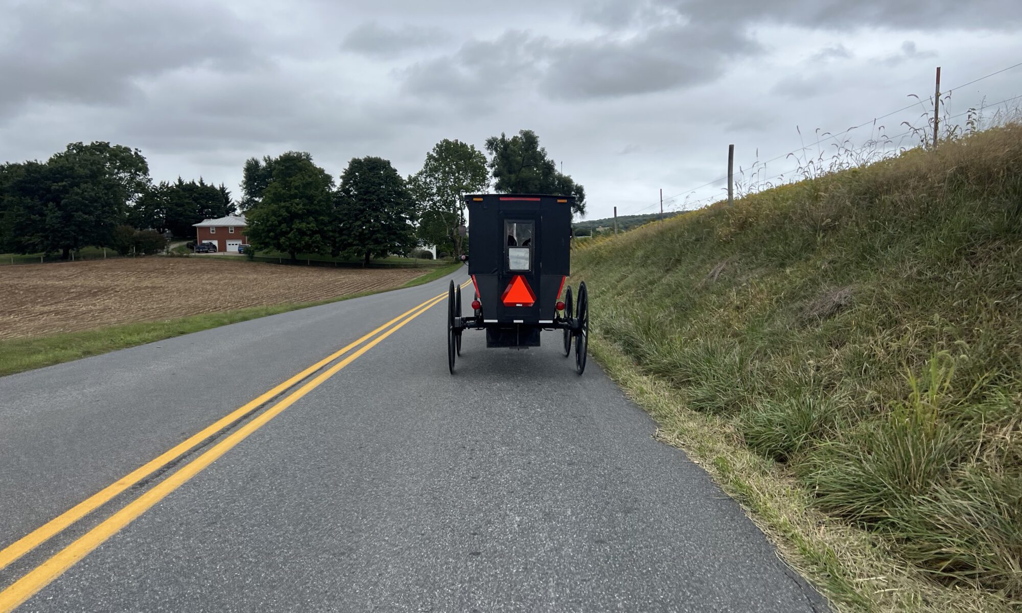
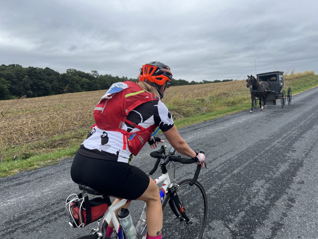
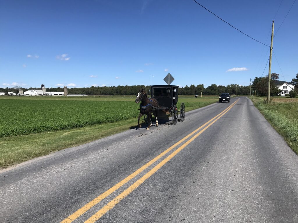
The Amish near Dayton, Va.
Actually, I was feeling good enough now to ride the 100 but had the granddaughters waiting for me in town. I texted them that I would finish between 2:30 and 2:35.
Beaver Creek
In the valley I saw lots of Amish, at one point maybe more than 30 buggies pulled by horses. I passed one buggy, announcing my presence as loud as I could so I did not spook the horse. I waved at very single one that passed me in the opposite direction and almost all waved back – and smiled too. The time was 1:45 and they appeared to all be headed to a 2:00 gathering.
Near Dayton, Va.
Most surprising to me was a young Amish man passing me in the opposite direction. I waved but he couldn’t wave back as he had one hand on his handlebars and one hand holding a cell phone to his ear. It appeared to be a flip phone, not a smart phone.
Jeremiah Bishop and Barry Sherry
The last timed climb was Mole Hill. I wasn’t sure I would have anything left but saw that I got a PR on it too. And there were three more segments on the way back into town. I PR’d them all.
1000 Days
1000 Rides
At 2:32 p.m. I came to the finish. The grandkids were waiting. I was introduced to the crowd but without anything that I had written on my application. We took a family photo and I hung out for a while.
My riding partners down the mountain
After they left I checked Strava. PRs on the three timed climbs and all three I was in the Top Ten Age Group. Then I checked to see if there were any times better than mine in that list for today. And there was one. I found a guy who beat me by 2:00 on Shenandoah; 1:00 on Reddish, and I beat him by a minute on Mole Hill. So he got me by 2:00 total and I knew I was not the KOM for my age group. But I did finish second in my age group in the climb. And this year a sprint was added. I finished second there too. Maybe there were only two of us.
High Knob 33 is Shenandoah Mountain
But I was happy. My best times were 10 years ago and who would have thought I could PR at my age? I am not a climber and this improvement was very satisfying. I accept that there are better climbers. I had a great day on the bike and a better one off the bike with my granddaughters.
Everyone (that knew the Tour de France) loved this sign Ashley carried
Note: At the beginning, I was right behind a safety bump and was not clipped in to start. I awkwardly pushed off with my feet losing a couple of places and forgetting to start my Wahoo. This file is missing the first 0.4 miles.