BEDFORD, PENNSYLVANIA
It was bittersweet day as we had been planning for Jacob’s Hero Ride across Pennsylvania for children’s cancer research and to honor Jacob Grecco. Although that didn’t work out, I was able to bring a couple riders on the team, Chey Hillsgrove and Chelsea Johnson, to Pennsylvania for some riding.
I promised them mountains then delivered bridges. Without a word (at first) about my goal, we headed up Business U.S. 220. I mapped the route, loaded it to my Garmin, and off we rode. I really only really knew the last 10 miles of the 50-mile route – the run-in back to Bedford.
I had planned to start at Old Bedford Village, where we saw our first covered bridge, but there was an admission fee of $11 per person and I wasn’t sure we could leave the car there without admission. We parked at the Fairfield Inn (with permission).
The first four miles consisted of rollers then we hit a nifty two-mile climb. I didn’t know it was here but it was very nice. I told them we weren’t riding in the mountains, and we weren’t, but I’m not sure they believed me.
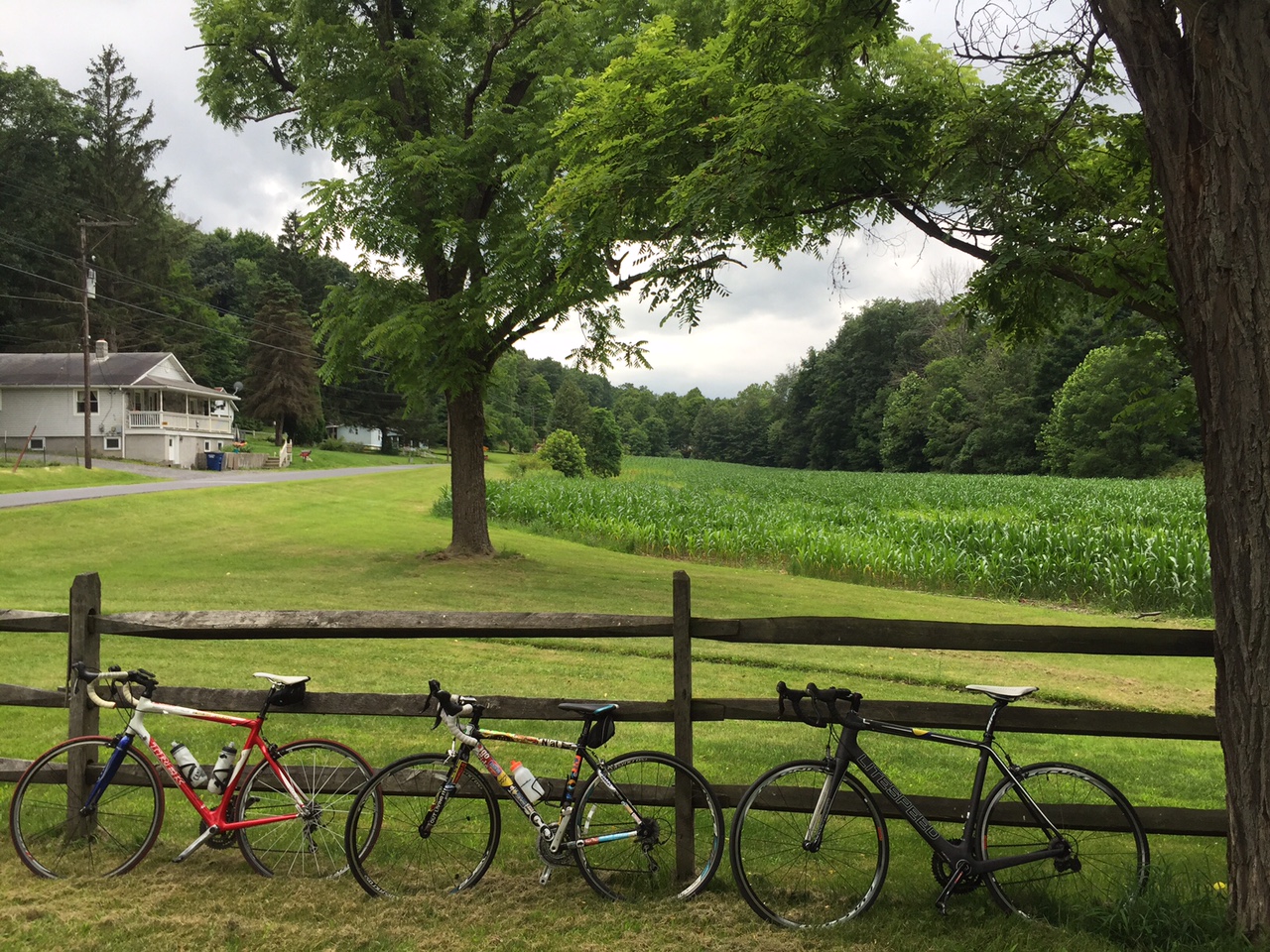
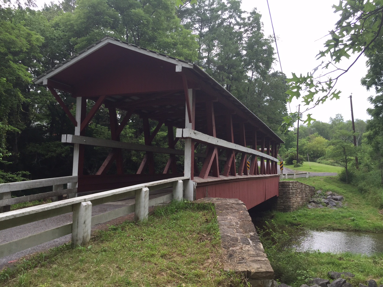
We rolled through Osterburg and out into the country. Chelsea seemed to love riding among the corn then my GPS beeped for an upcoming turn. As I looked at the upcoming left turn I saw it – the first covered bridge.
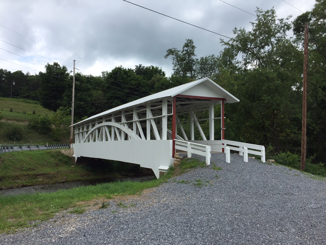
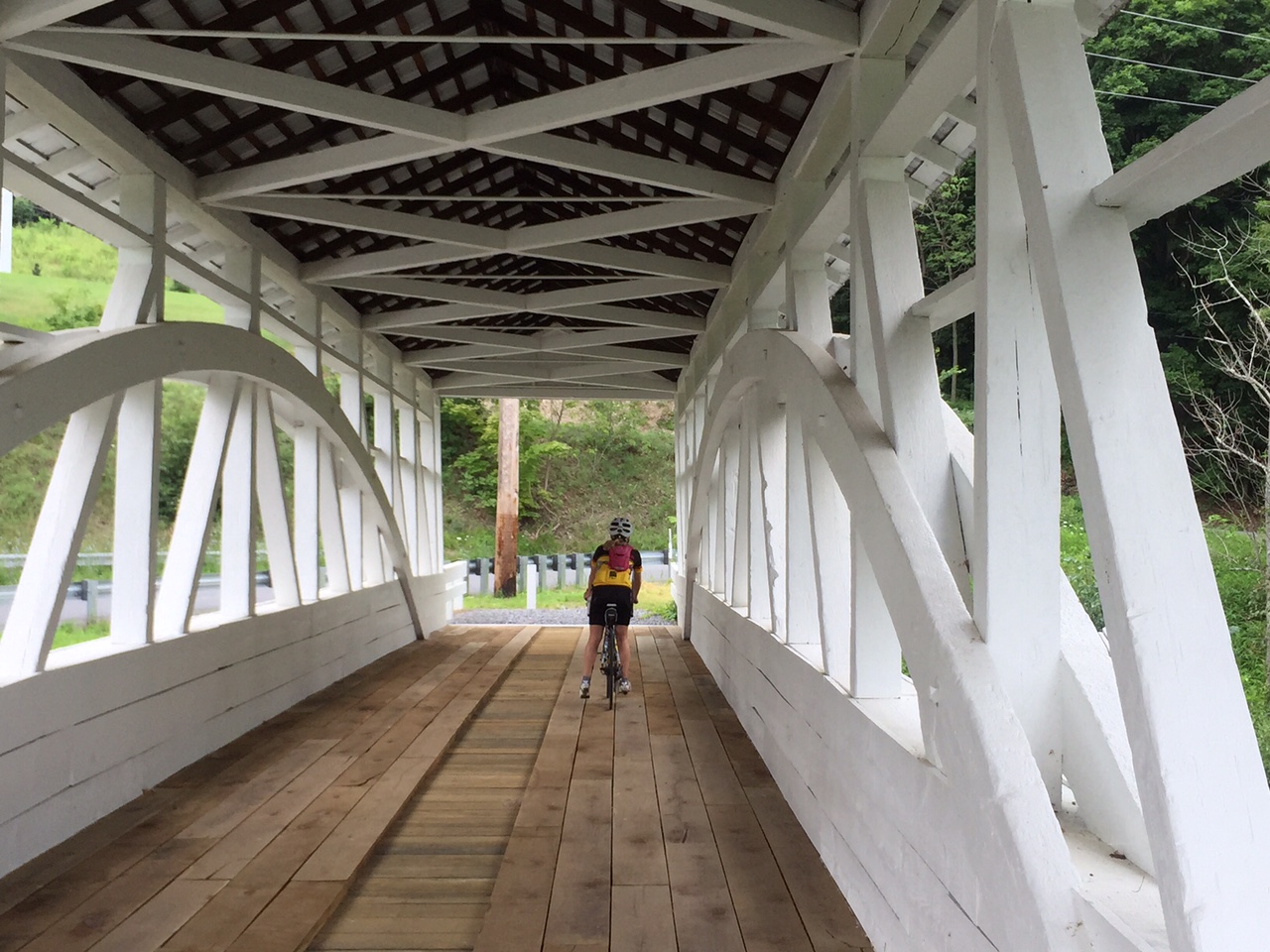
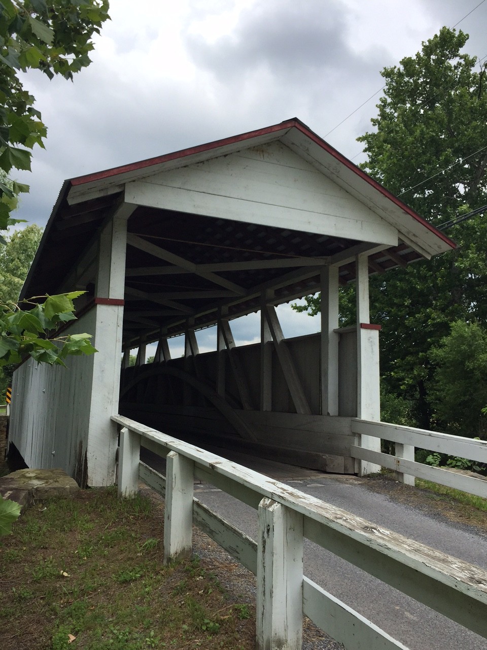
We stopped and took it in. And although it was no longer in service, we rode across the Bowser Covered Bridge.
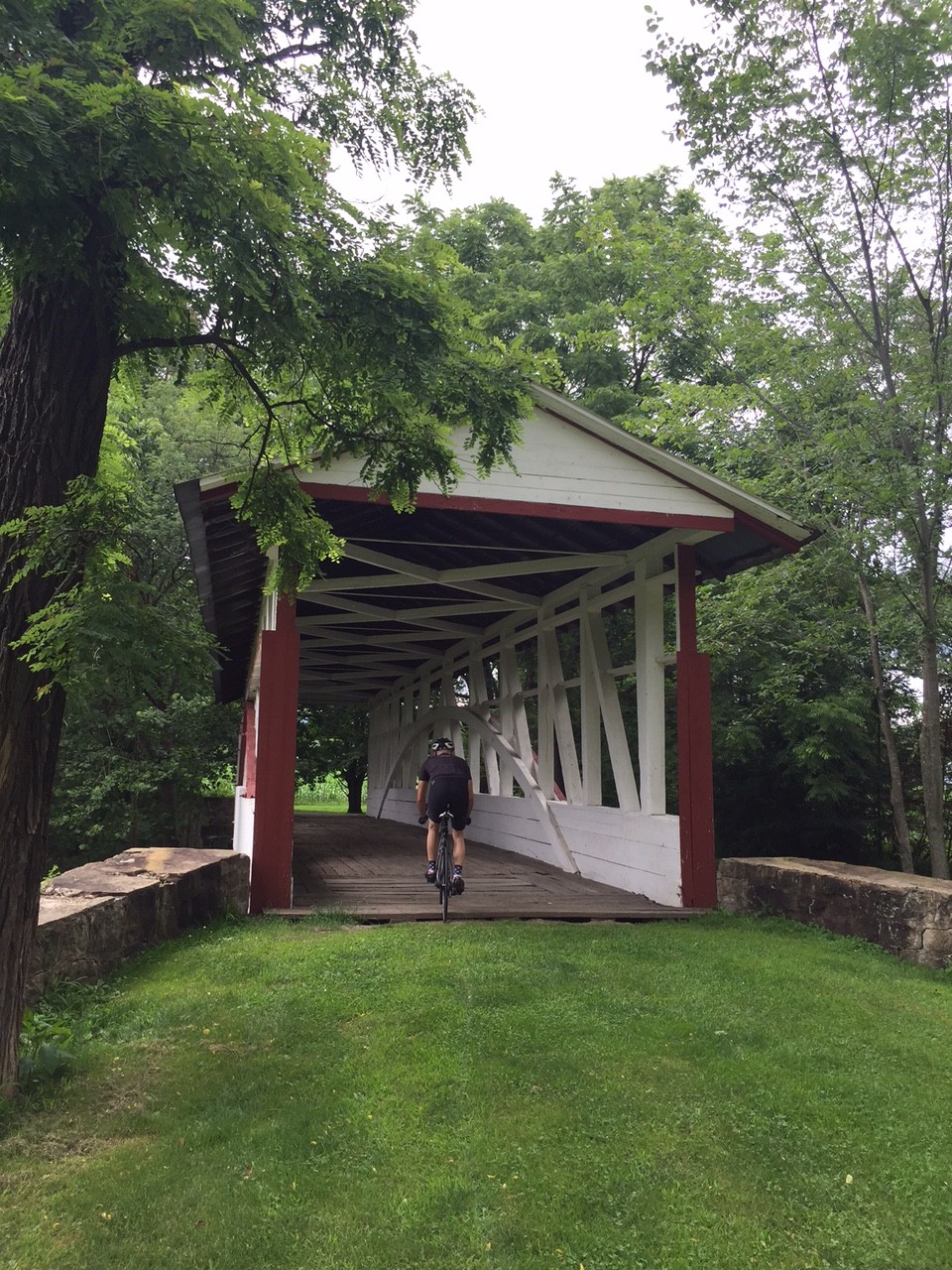
We didn’t travel much farther until we found Snook’s Covered Bridge followed by Kniseley Covered Bridge. Here we stopped for a brief water/snack break.
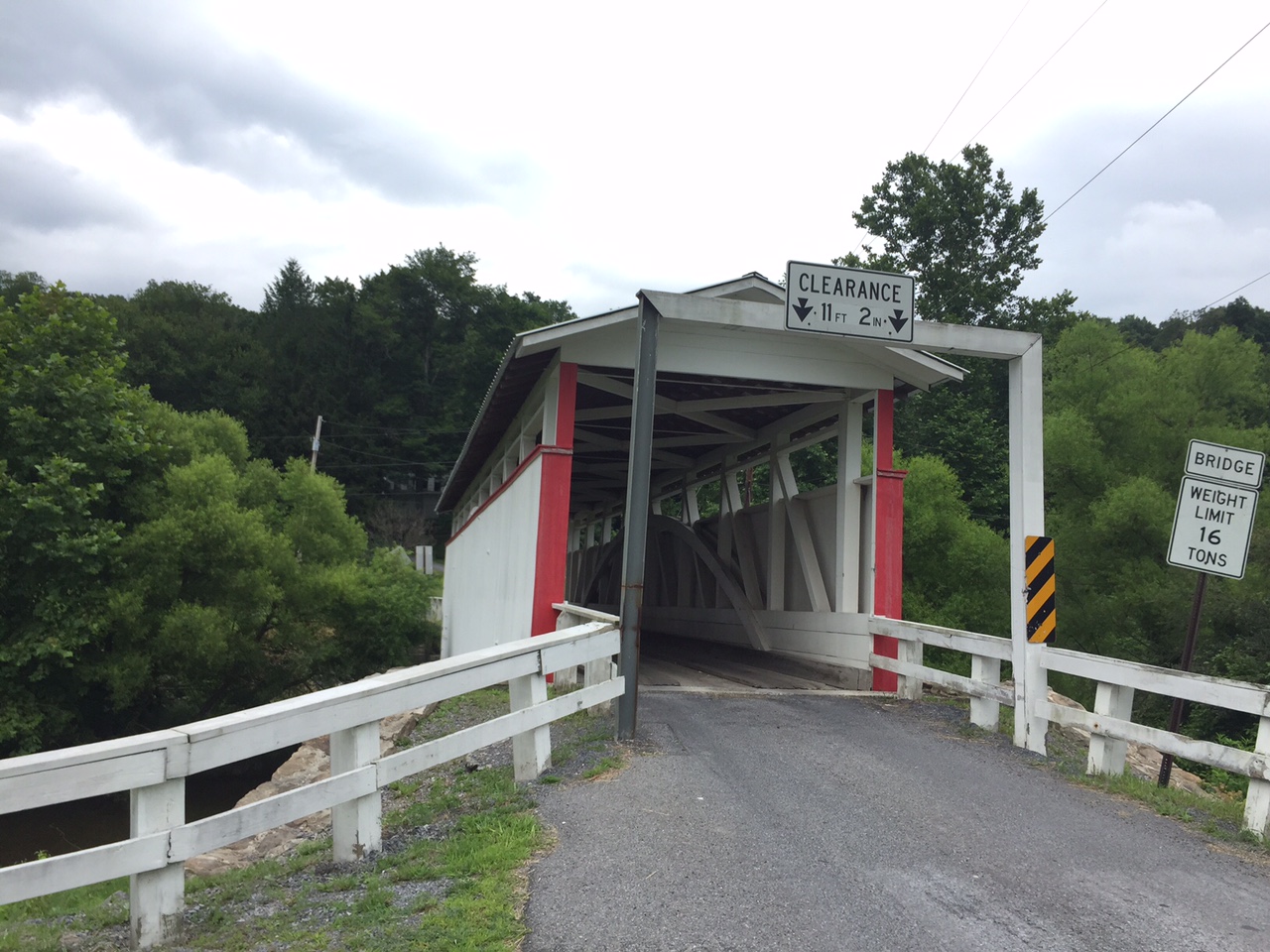
And so it went. We stayed mostly in the valley and visited covered bridges, the next being Ryot Covered Bridge. Chelsea said she would call it the bridge ride and eventually I told her she could call it the Coverage Bridge Ride.
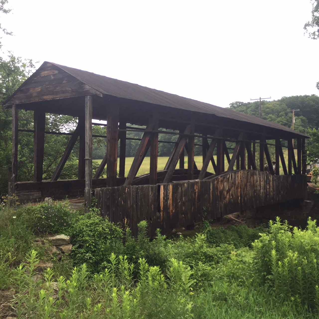
We passed the Cuppet Covered Bridge just off the side of Pa. Rt. 96. It is very weathered, unpainted, and looks to be in need of repair but there were some people who looked like they were working on it.
As we entered New Paris it started raining. I stopped to put my valuables in a Ziplock bag.
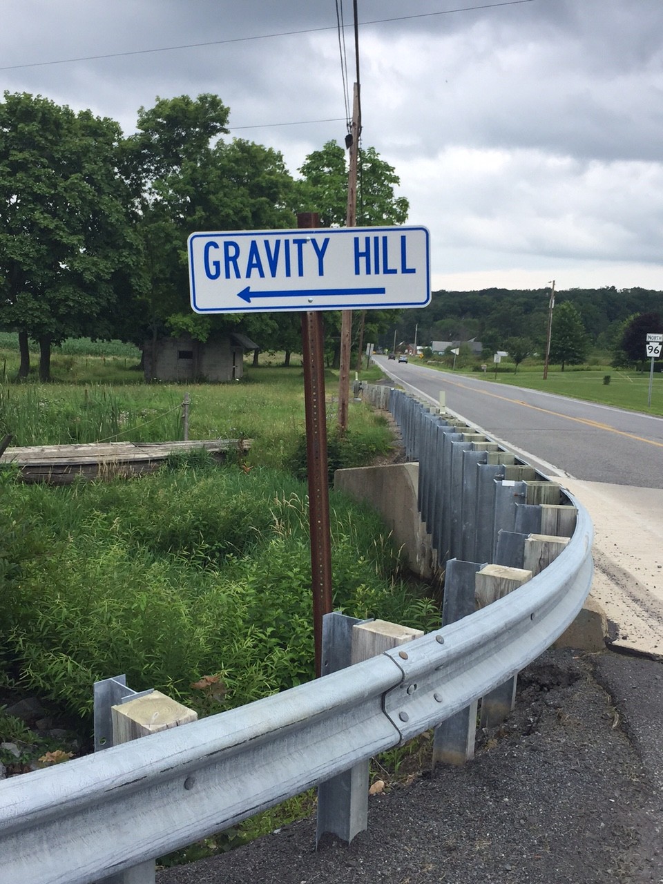
After New Paris headed south on Pa. 96, we turned right and started a 2 1/2 mile climb in the forest. It wasn’t too difficult although we were climbing. And I saw painted on the back of a road sign “G Hill..” Chelsea asked “Did that say hill?”
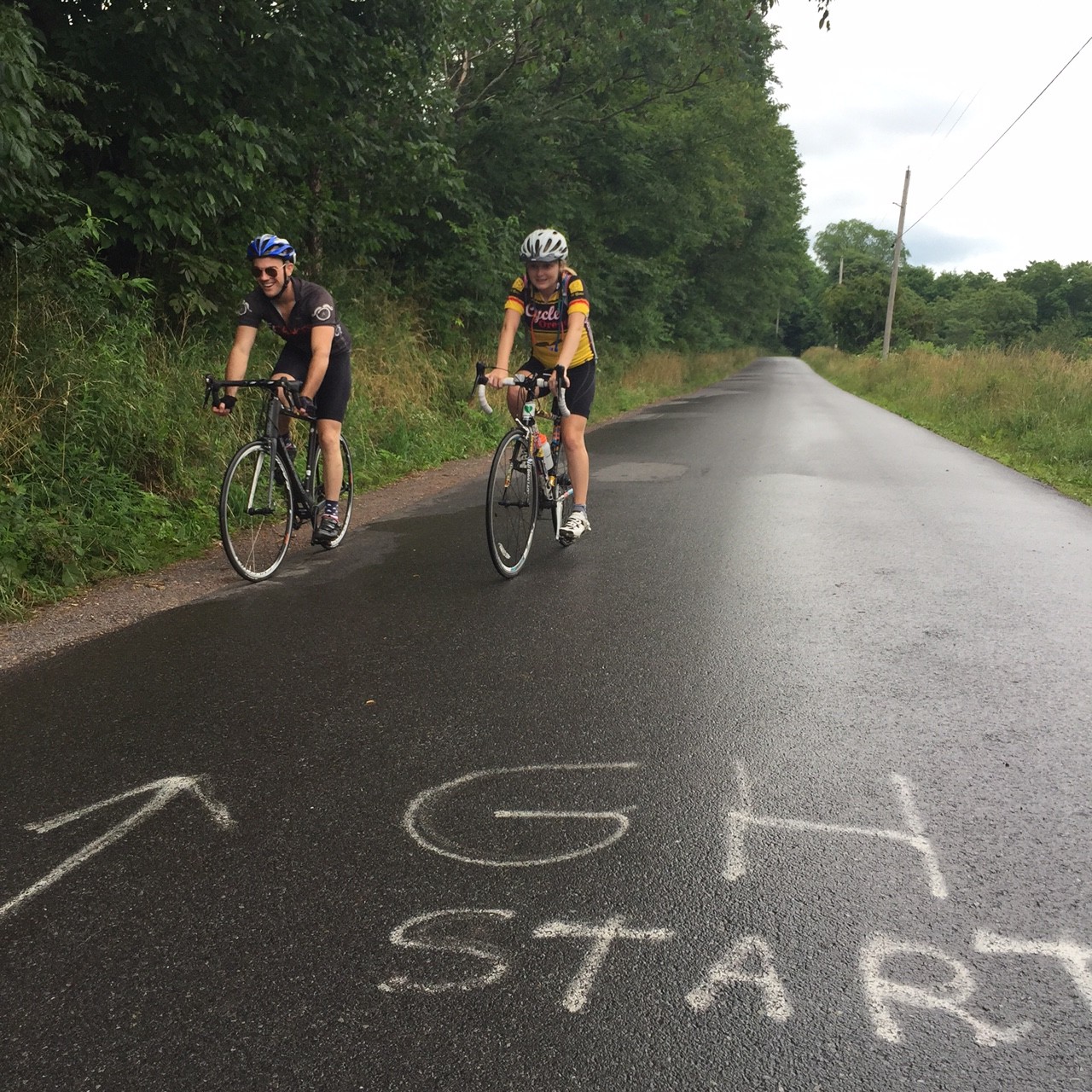
We got to a false flat and I saw painted on the asphalt, “GH End.” I then had to find “GH Start” which I did. Confused, Chey and Chelsea looked at me and I explained we could coast up Gravity Hill.
I didn’t get it and still don’t. This is a Bedford County Tourist attraction but there’s nothing there other than a section of asphalt. No souvenir stand selling “I survived Gravity Hill T-shirts.” Just some paint on the road. After coasting uphill, we headed back to Rte. 96.
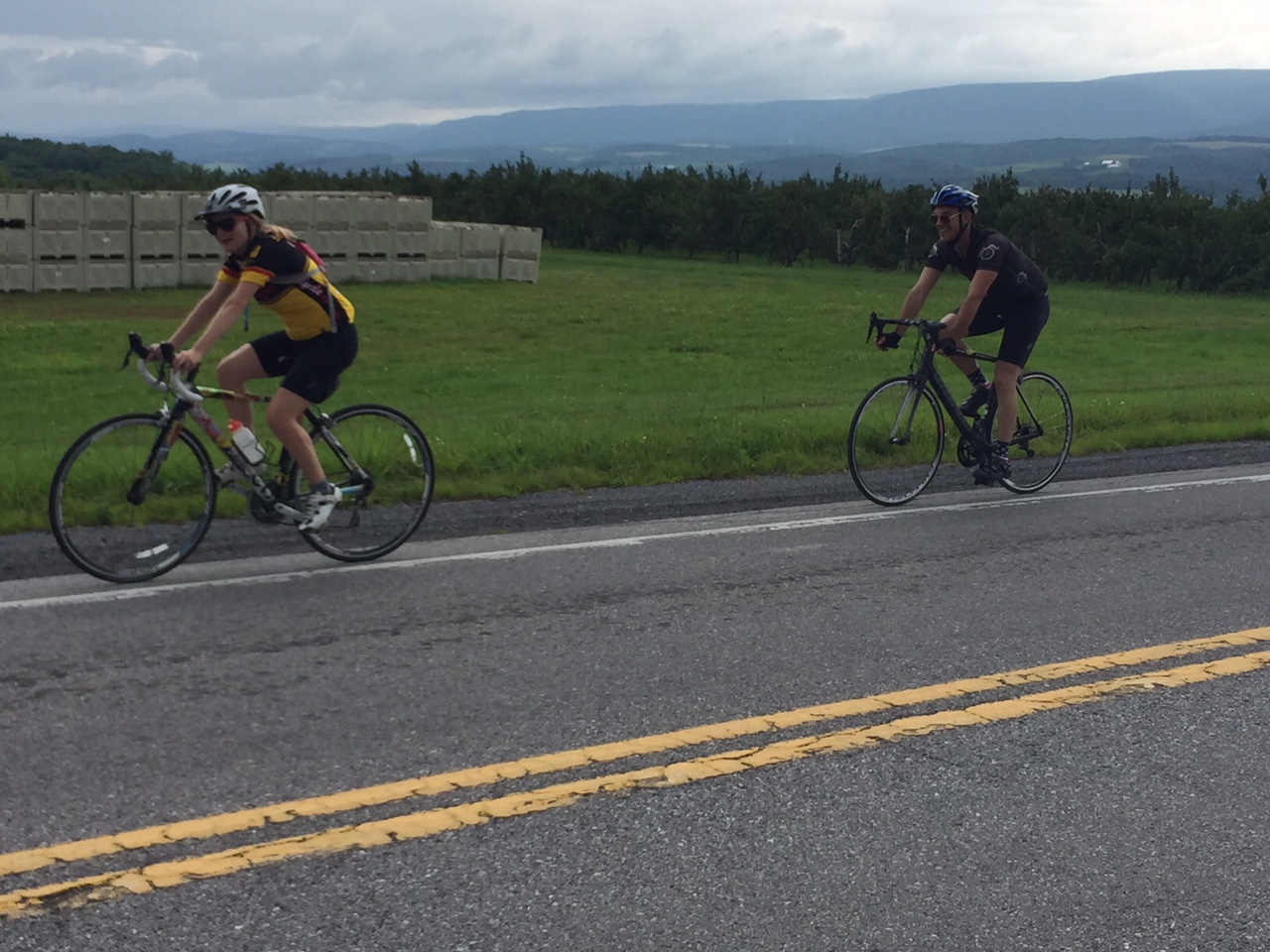
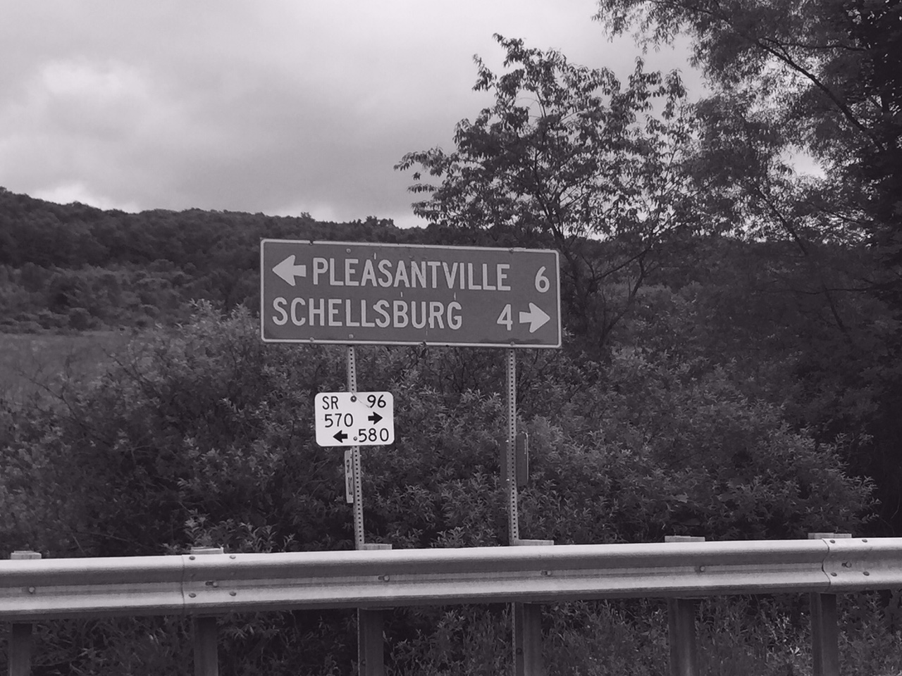
Headed to Shellsburg, but out of the rain, we hit a climb just over one mile long. No, we weren’t in the mountains – just Pennsylvania. The view from the top was great but we were in a light rain and I couldn’t capture a good photo moment. We laughed about an orchard selling “Transparent apples.” How would you know how many you bought if you can’t see them? OK, that was dumb.
(White Transparent – also known as Yellow Transparent in the USA – is an early-season cultivar of apple which is usually used for cooking due to its sharp taste. Source: Wikipedia)
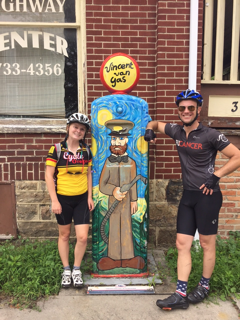
We stopped briefly in Shellsburg and admired Vincent Van Gas, a 1930s gas pump artfully painted in 2008 to celebrate “Pennsylvania 250.” We left and headed south finding Colvin Covered Bridge. By this time, Chey and Chelsea had quit taking pictures of bridges.
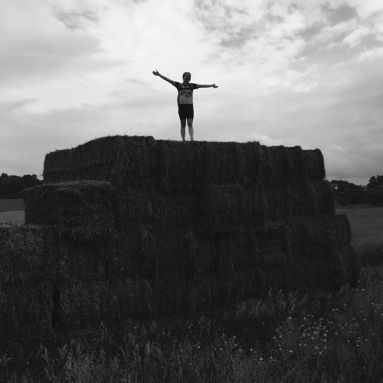
Out in the country Chelsea saw some huge bales of hay which she had to climb. And why not, right?
We came to Pa. Rte 31 which is signed as Pa. Bike Route South. It has about a two-foot shoulder which, mostly, was enough. But then the rain. It opened up on us and we got soaked. But we were in it for no more than three minutes.
We slowed for a minute alongside the rode and I pointed out a gravel road to Turner’s Covered Bridge off in the distance. They told me they would wait for me if I wanted to go look at it. Anyone getting tired? Anyone? We rolled on.
We followed 31 back to US 30. I pointed out we passed the road to Herline Covered Bridge. I don’t think anyone heard me. We could have crossed it and come back and continued with a steep climb to US 30. But best to continue the shortest way back.
Just outside of Bedford we turned on Weber Lane and took it over to Business 220. There was a bit of a ramp back up to 220 and Chelsea walked the last 10 yards saying “I can’t believe I have to walk this.” I think she was caught out in the wrong gear. It happens.
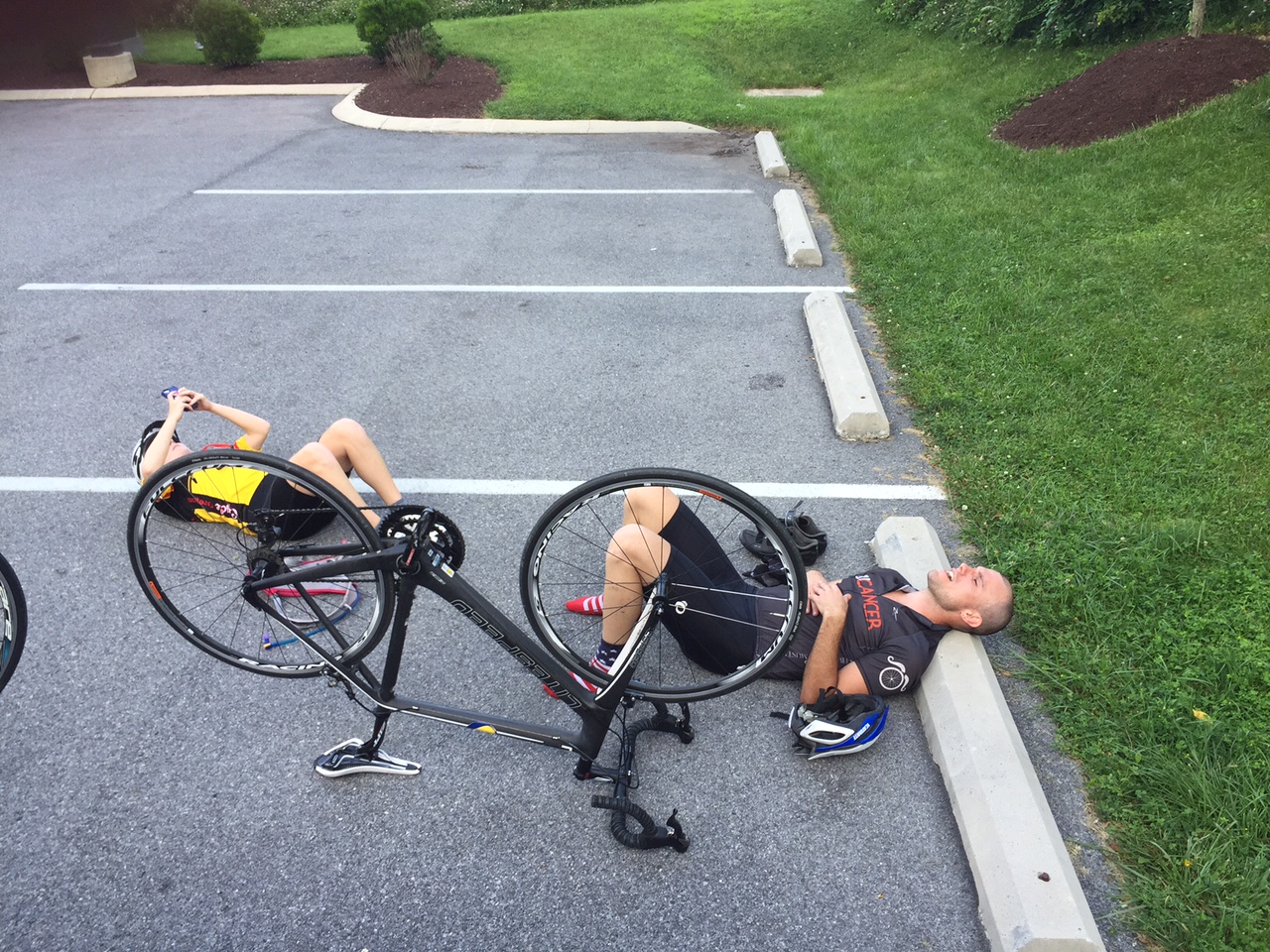
We arrived back, maybe a little tired, and a lot wet. Time for refueling before tomorrow’s ride.
A day of bridges was wonderful. The rain, not so much, but mountains tomorrow!
One Reply to “Covered Bridges”
Comments are closed.