RANSON, WEST VIRGINIA
Listening to the weather forecast this morning they determined that no prior Easter in Washington, D.C. had ever reached 80 degrees. Today it would. Of course, this was also the latest Easter in recent memory. It was a beautiful day for a ride and to try my new route to Charles Town.
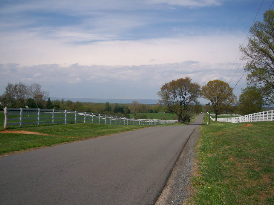
The middle portion of my trip would remain unchanged — that from Aldie to Airmont via Snickersville Turnpike. But those 11 miles would be the only constant.
I had determined that from Airmont to Charles Town was about the same distance whether I cross on Va. 9 at Keyes Gap or took Va. 7 over Snickers Gap. But traffic, not distance, should be the determining factor in finding the best way.
I’m not sure how many times I have crossed on Rte. 9, less than 10, but it’s never a fun proposition. Entering just west of Hillsboro, Rte. 9 is two-lane, 55 mph, with no shoulder, sharp curves, and a two mile climb, although only the second mile is where the road kicks up.
My maps showed that if I stayed on Snickersville Turnpike and crossed the mountain at Va. Rte 7 it would be much safer. One doesn’t need to actually get on Rte. 7, which is a major four-lane road over the mountain, until about 1 kilometer, or 0.6 miles, from the top. Plus there is a decent size shoulder, although I wouldn’t necessarily call it real wide. But I knew I didn’t have to ride on Rte 7 except for that mile going over the top and then just over one mile (two kilometers), where I would cross the Shenandoah River.
At the southern end of the trip, I had taken the Prince William Parkway to Rte 234/Sudley Road past the Manassas Battlefield to Gum Springs Road. Following Gum Springs I took Braddock Road, which in these sections, is a very rough unpaved road for more than two miles. It connected with U.S. 15 for one mile and U.S. 50 for another 1.7 miles. My goal was to avoid these two major U.S. routes, both of which were two lanes and neither of which had much of a shoulder.
I headed down Bristow Rd which is a two-lane road with no shoulder but most drivers are pretty good about respecting cyclists on this road. It turns into Linton Hall Road which was the only part of the route I did not like. Four lanes, it is curb-to-curb with no shoulder, a 45 mph speed limit which meant most cars were doing 55 mph. The total distance on this portion was 10 kilometers (6 miles).
It was a short trip through Haymarket to Antioch Road at which time I stopped to call home and then was met by another cyclist, “Kenny.” We chatted as we rode off together. It was fun for a while but then I soon realized I was near the red zone. He was setting a pretty fast pace and I was struggling to stay on his wheel. I enjoyed his companionship but was relieved when he turned to ride up Ridge Road.
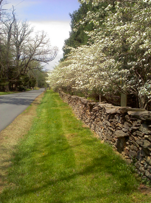
With just one missed turn, I made my way to Aldie and Snickersville Turnpike. The day was gorgeous and the spring blossoms were on the trees. Snickersville is a roller coaster and for every screamin’ downhill section, you pay on the other side with a climb. It softened up the legs for sure.
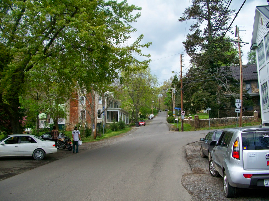
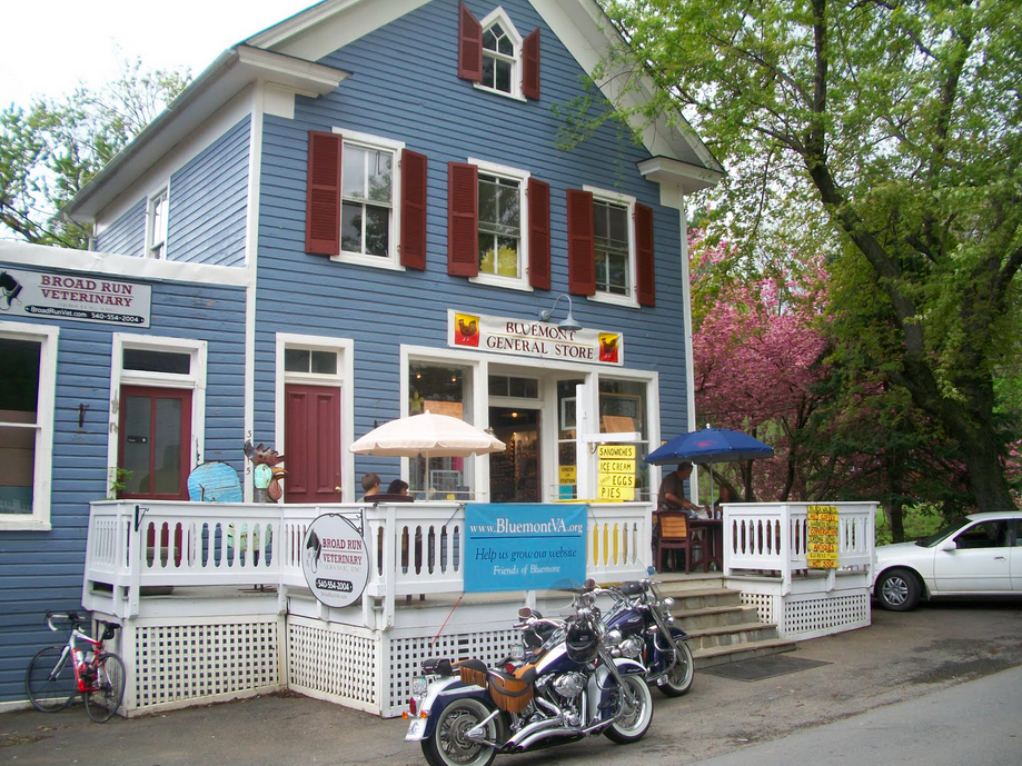
I stopped at the general store in Bluemont and surveyed the dark clouds on the mountain. I knew I’d be getting wet sometime. Some things you can’t avoid.
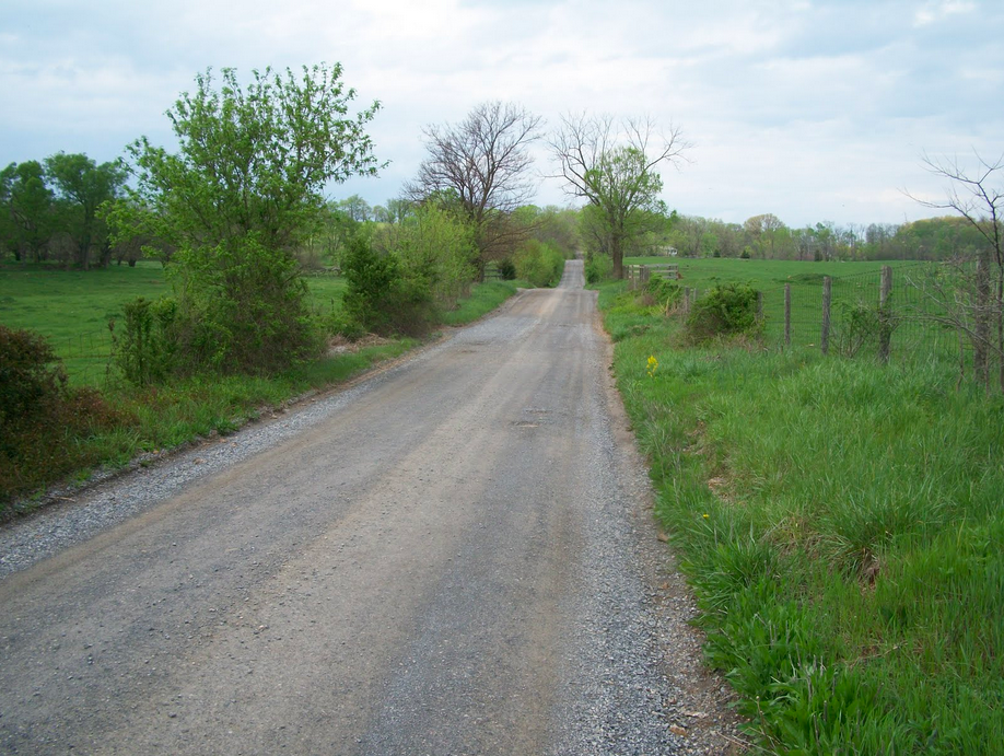
With temperatures in the 80s, I really didn’t mind the rain at the top of the mountain and as quickly it came it seemed to leave – or I left it. At the bottom of the hill, I crossed the Shenandoah River and turned on Casselman Road. I followed the Shenandoah River briefly then turned and was surprised to find my route turned to dirt. A gravel road. Oh well. It was 2.5 miles (4 km) over the dirt before I was on Wickcliffe Rd.
I came to Kabletown Road and followed this to Old Cave Road to Charles Town. But I saw lightning in the distance. Dark clouds were looming ahead and I knew I was going into it. Again. I looked for shelter but found none and rode through about 10 minutes of the worst of it. Lightning followed by an almost immediate crack of thunder. It was scary.
I was drenched, but I was safe, I made it to Charles Town.
On the day it was an 80 mile ride which was a bit longer than the old route but almost all of it, more than 10 km (6 miles) is because of the Haymarket portion. I traded a couple of miles of dirt roads on Braddock Road for faster traffic on Linton Hall Road. I need to think if that’s a fair tradeoff.
The climb on Rte 7 is more formidable than the mountain crossing on Rte 9 and is safer too so this way is definitely in the books as the route to follow. I have to look for more paved roads and less dirt in Clarke Co., Va. but those 2.5 miles weren’t that bad.
Even with the thunderstorm, it was a great day on the bike.