MARCO ISLAND, FLORIDA
it looked like a nice ride so I thought about this 40-mile loop for a few weeks now. I have never been to Marco Island so this was my chance – perhaps my only chance.
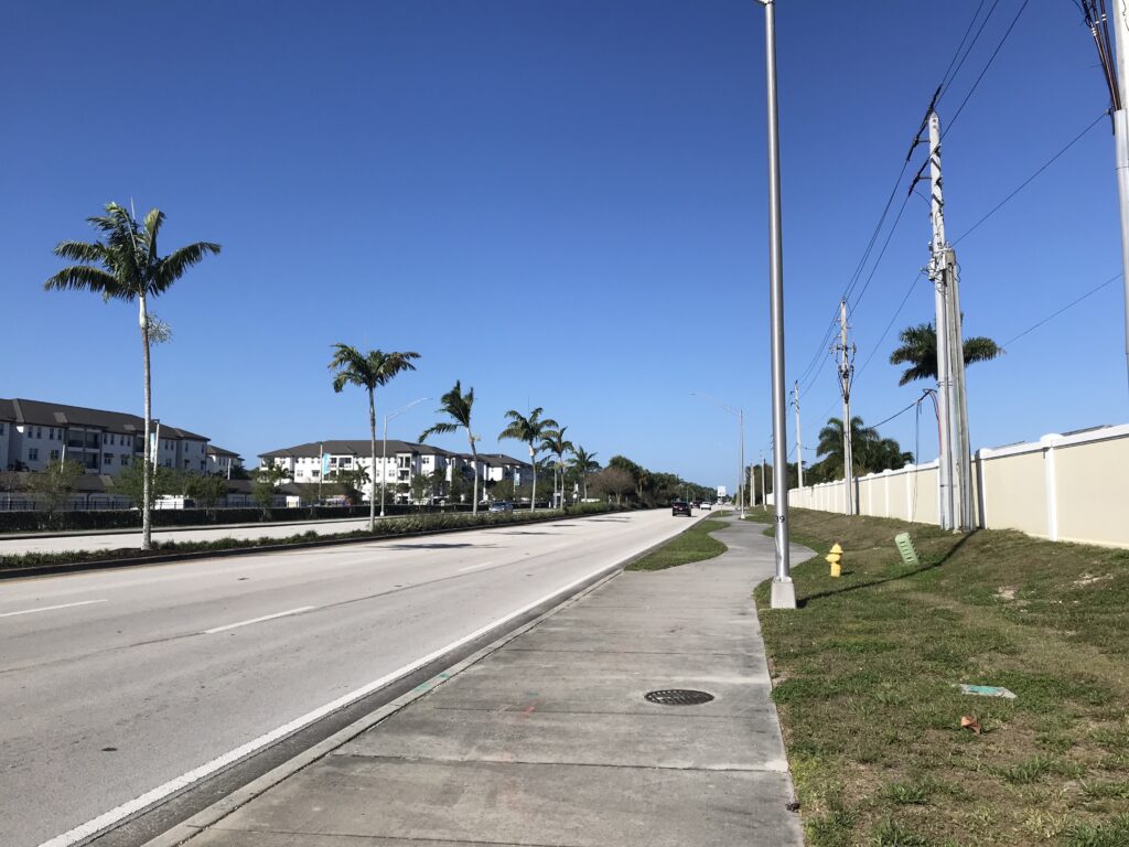
I used a ride done by my friend, Joe, a few weeks ago. I parked in a shopping center by a Publix grocery store. I headed west planning to be on street but it had no shoulders and no bike lane. Next to it was a concrete path that looked like a bike path. I followed it for a half-mile until I turned into a residential area and took streets until I reached Collier Blvd.
Collier is a six-lane highway which is very busy. It does have a separate bike lane which is separated from 50 mph traffic by five inches of paint. But it’s white paint so that must have protective qualities.
The next 4.5 miles to Marco Island, I flew, I was hitting speeds of 30 mph and averaged 24 mph for the segment. That could only mean one thing. Tailwind.
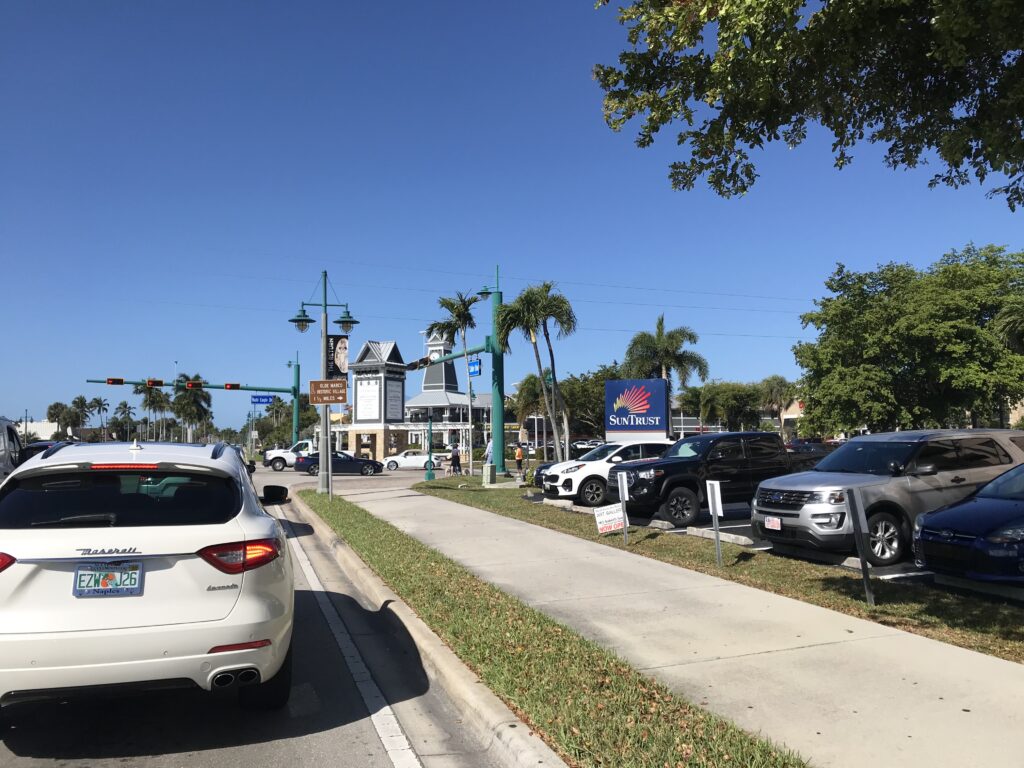
On Marco Island, I was mostly in traffic lanes. I didn’t find over-courteous or rude drivers. Just drivers. They were fine. I was fine. We got along.
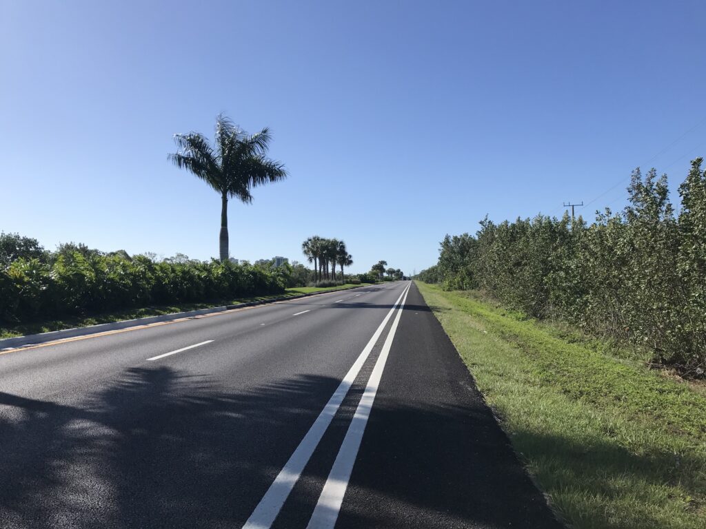
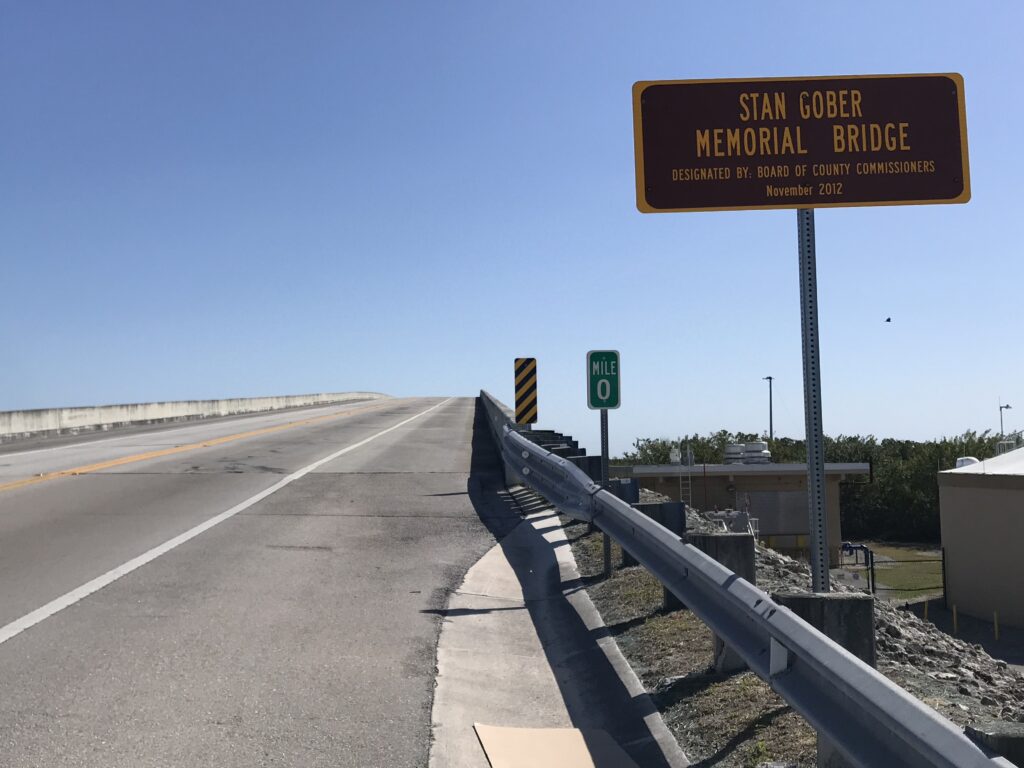
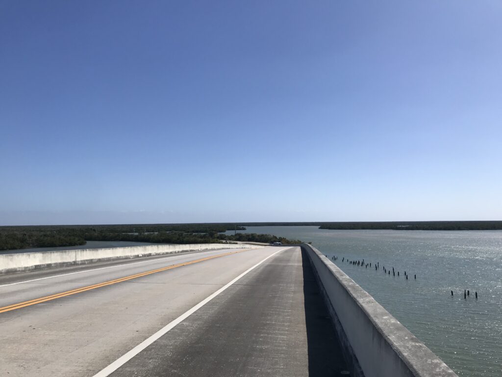
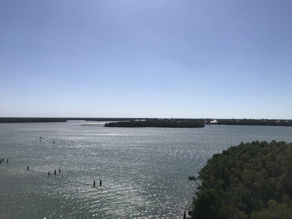
I followed the southern route out of town. It took me over the Stan Gober bridge and then it was a 55-mph two-lane highway. Joe told me it was straight and the traffic was used to seeing cyclists. While I was the only cyclist I saw today, at no time did I feel unsafe or had any cars pass without giving a wide berth. And I was also going into a brutal headwind. My trip to Marco was a gift. This was the work.
For the next 12 miles, I only averaged 14.6 mph. It was tough work. I saw a number of signs for “Buddy,” a dog missing in the area since Feb. 11 (a month now). Breaks your heart. I sure hope Buddy was reunited at his home.
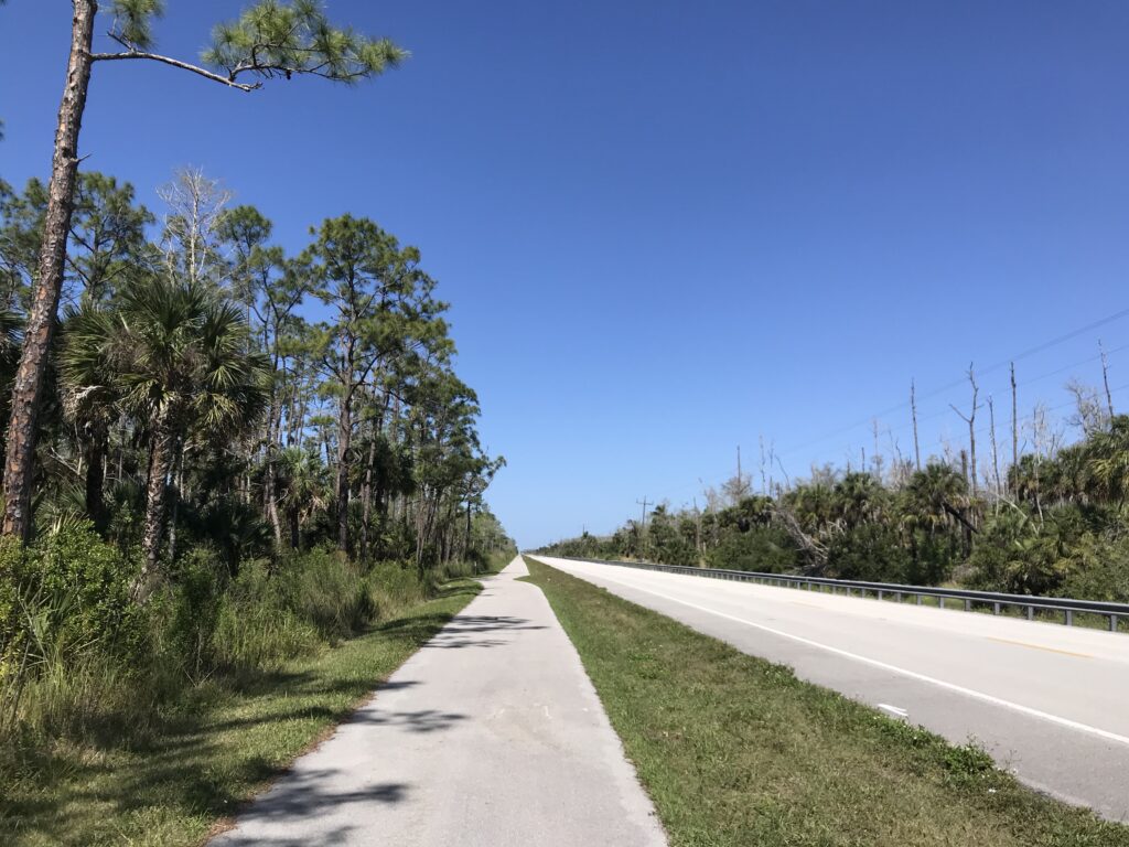
I turned on Highway 41 North and, to my surprise, saw a pretty nice bike path next to the highway. It would only last 2.3 miles. But I crossed over the highway and picked up a bike lane. I would ride the bike lane six miles to my turn back into the neighborhood. I also picked up a cross tailwind. It helped. I averaged 20 mph in this section.
Not all cyclists are comfortable riding on the road, like I did leaving Marco, or in a bike lane that is on Hwy 41. You have to trust, and hope, and pray, that no one is distracted and they stay in their lane and don’t drift. It’s not my favorite place to ride but I would not necessarily avoid it.
The last five miles were back into the headwind. And my speed dropped to 14.9 for the segment. Arriving back I had covered 41 miles at a speed of 17.9 mph. I was hoping for 18 but with the winds, this wasn’t too bad. My winter rides were often 11-12 miles and even though I rode at Hilton Head last week, it wasn’t far and wasn’t at speed. So this was a jump. A huge jump. I’m happy.
Distance: 41 miles
Average speed: 18 mph (RideWithGPS)
Max speed: 37.8 mph
Weight: 172