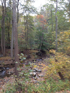

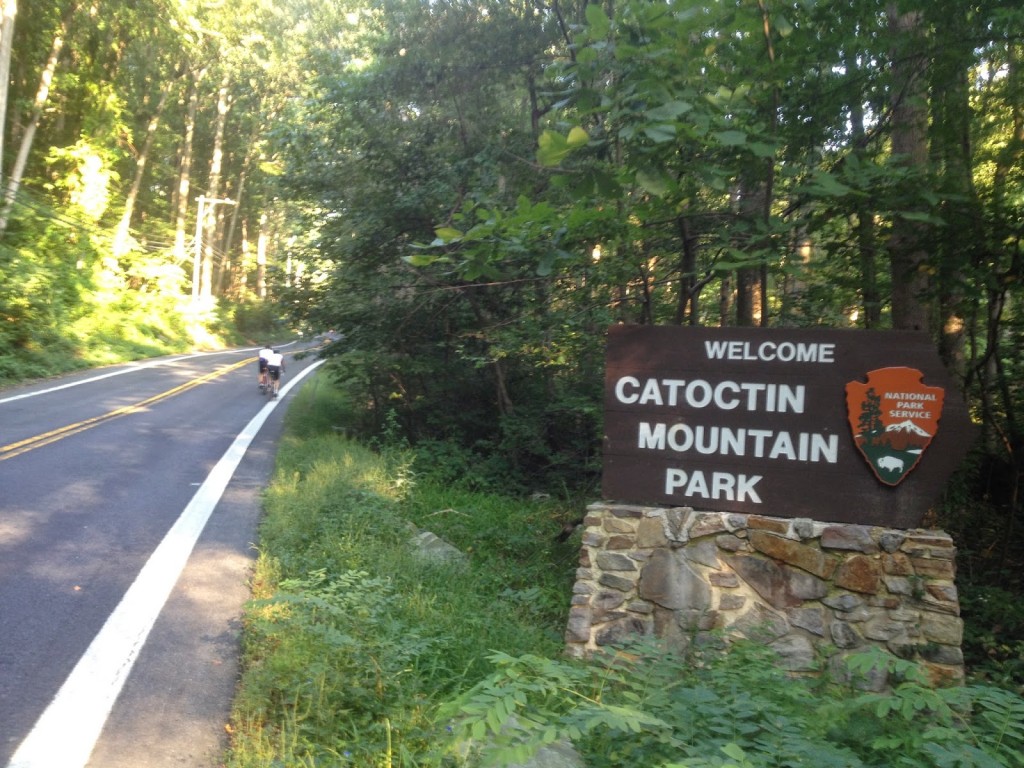
THURMONT, MARYLAND
It was hot. And I was worried. Last year I cramped by Mile 9. I did go out hard last year and posted my best time on the seven mile “warmup” climb from Thurmont up through the Catoctin Mountains. But today it was already humid and I wanted to pedal slowly.
It worked. By worked I mean I posted my worst time of six efforts. Although it was only 53 seconds slower than three years ago when I must have tried to go hard. But I didn’t cramp so I was pleased and thought I was on a good day.
 |
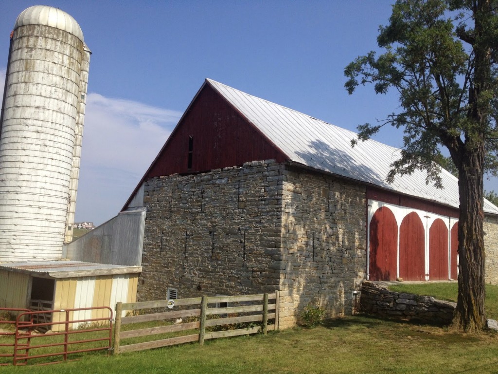
| South Mountain Creamery |
On course I came to the unmarked hill where I have hit 50 on the descent. I held some back and only hit 48.3 mph. I’m never quite sure I’m on the right descent until it’s too late.
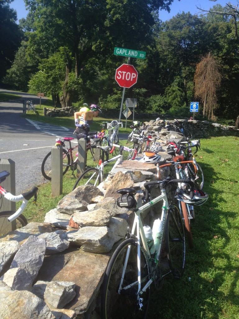 |
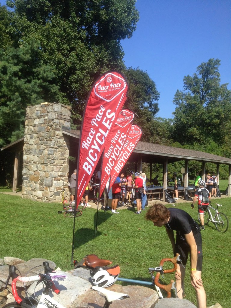
| Rest Stop at Gapland on South Mountain |
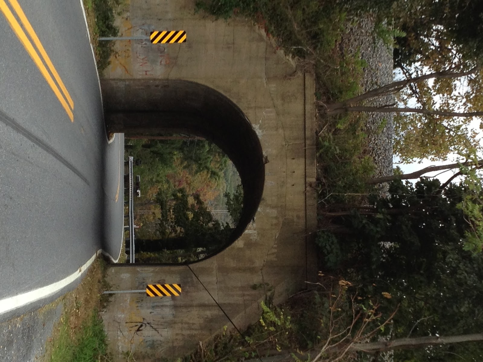
New this year was a reroute which took us up a challenging little climb. It was on Mt. Tabor Road just beyond Myersville, which we did not ride this year. It was a little more than 1/4 mile but much was at 14% grade. That was quite a surprise. I had been side by side with a rider from California who complained about “east coast roads.” I never saw him again once we started climbing. He quickly fell off the back.
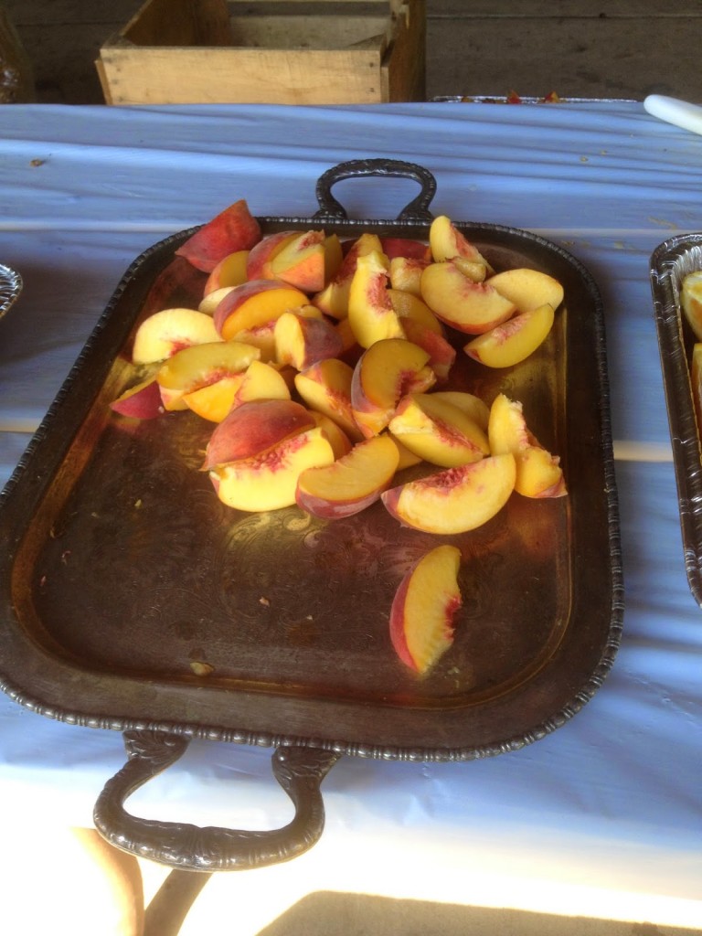 |
| Peaches – Fresh Peaches |
It was a different route this year. Some of it was due to construction including the tarring (and chipping) of some roads which makes for messy bikes. And some of it was rerouted because communities complained – I am assuming Myersville and Boonesboro – two towns the route historically has gone through but today did not.
 |
| Rest Stop at Gapland |
After the first rest area on South Mountain the Burnside Bridge Road was closed and we went up Porterstown Road instead. This climb was just nasty. Hot and humid, there were sections at 17% grade. It took us just past the battlefield at Antietam which was not on course this year due to road construction on the Burnside Bridge Road.
 |
| Near Boonesboro, Maryland |
Arriving at the second rest stop I filled my bottles and drank one on the spot. And promptly filled it again. I was going through water faster than I could replenish it. I was out of water by the first rest stop, out by the second, and just could not keep enough on the bike.
One of the volunteers looked at me and said “today, you’d be best to take the bailout.” It’s hard enough fighting those voices from within but when a volunteer tells you to bail out I have to admit it became a thought.
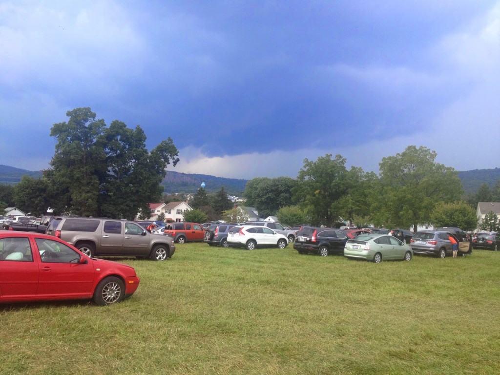
The neat thing about this ride is the full century ride features a “bailout” option at Blue Ridge Summit, Pa. If after 65 miles of riding you’re just not feeling it, or you are dehydrating, or storms are coming, one can descend nine miles back to the start in Thurmont.
At the rest stop I heard some riders talking about the bailout and they checked the maps. On the climb one could go up a shaded road or out in the sun. I’ve done both. As I rode up Raven Rock Road I came to the turn to Richie Road. There must have been 10-15 riders there contemplating which way to go. Some were already going straight, which, IMHO, is not where they wanted to go. Richie Road is shaded and it’s the same climb up the same ridge.
 |
| Thunder and Lightning – Storms moving in |
Up and over the top, the last major climb of the day, I descended to Fort Ritchie and Blue Ridge Summit, Pa. I saw a man changing a tire and went back to “help” (really, I was just curious – I wasn’t really going to help). It was my friend, Sean Walker. I was hoping to see him today and now got to ride with him.
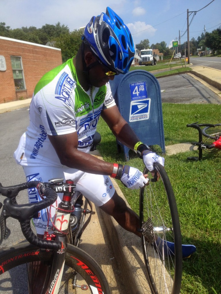 |
| Sean Walker |
Sean had been coaching a client and we were talking about the heat. I was already out of water and the next stop would be another 15 miles in Fairfield, Pa. He suggested the bailout. Had he been riding to Gettysburg, I would have too, but there’s strength in numbers. Sean took the bailout and I started to head to Gettysburg. I had been lifted by an adrenaline rush from seeing him. But it wore off and I realized I would be suffering for no good reason. I find the alternative bailout route.
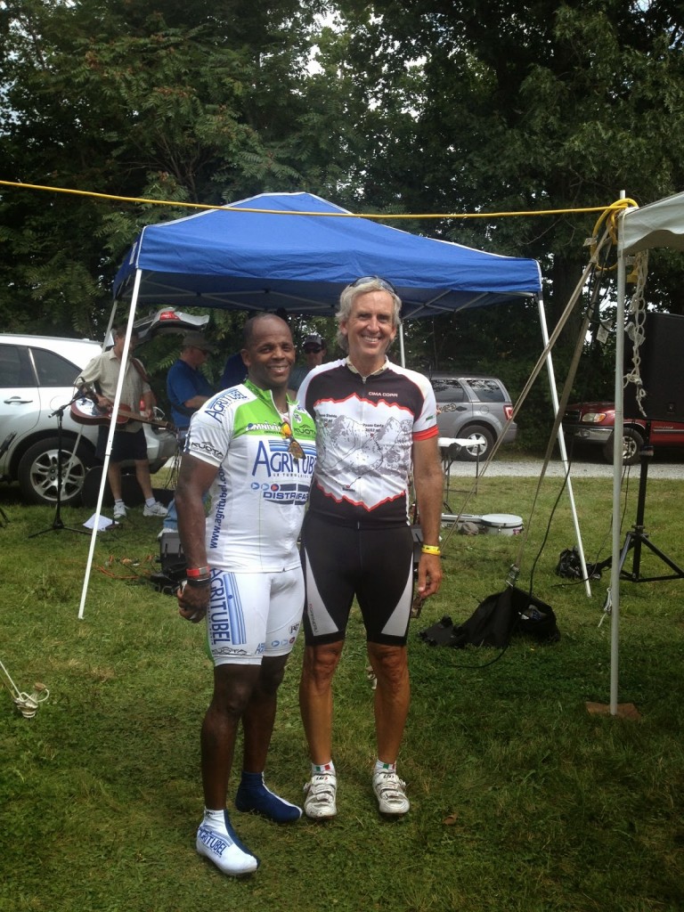
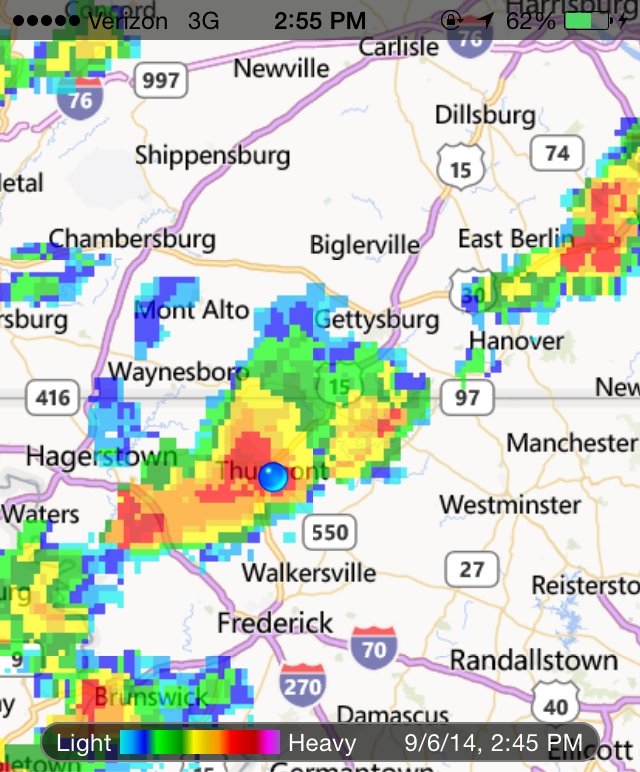
Back in Thurmont, we got our ice cream and watched the storms roll in. They were pretty strong. We were thankful we made the right decision, heat or not. And very thankful not to be caught in the storms.

It’s not often I make good decisions on the bike. I am willing to finish, no matter what. So it’s hard to make a decision not to finish. But many were caught in bad storms plus I was on my brand new bike and wasn’t ready to subject it to bad weather. Not yet. So maybe if it wasn’t about me today, it was about the bike.