Dayton

BEAVERCREEK, OHIO

I was hoping to ride on Friday with my friend, Laura Snyder, but that did not quite work out. When that opportunity passed she suggested Sunday morning could work. I took her up on it.

Laura on the Creekside Trail

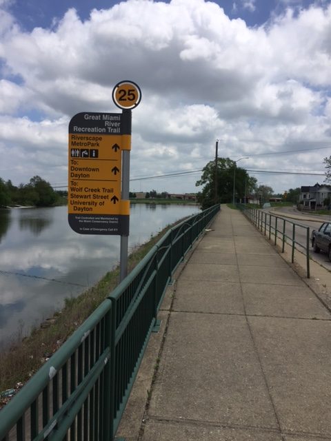
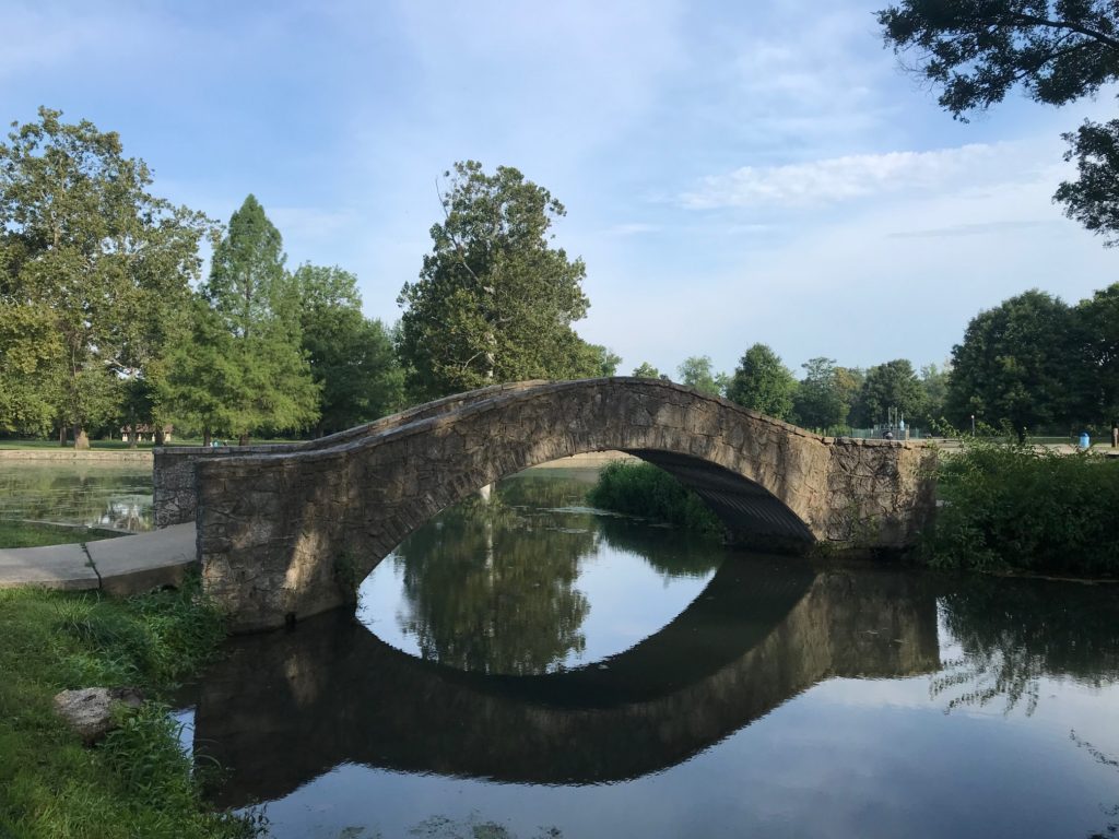
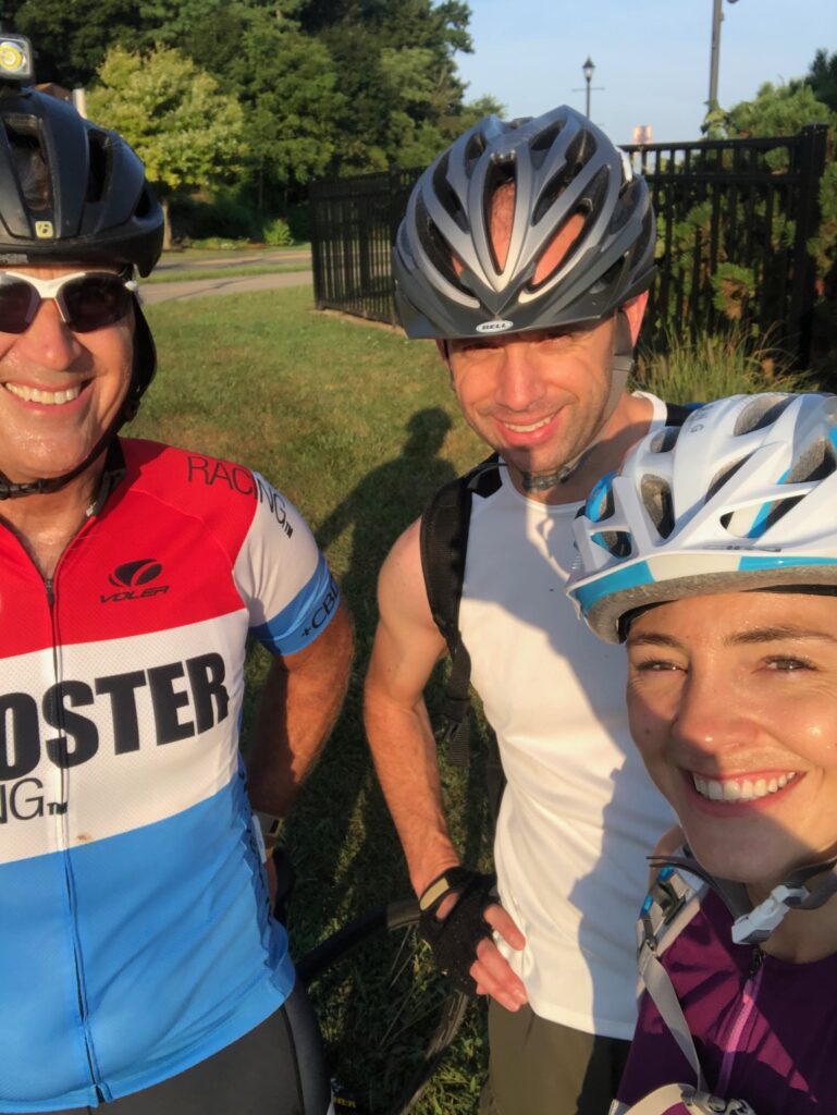
Laura and her husband, Chris, met me at the Creekside Trail in Beavercreek for a 7:00 a.m. rollout. A rail trail, it is wide with good pavement and few riders (at least compared to the W&OD in Virginia).

Xenia, Ohio


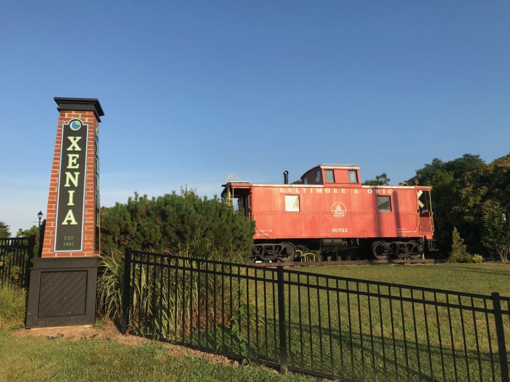
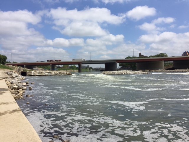
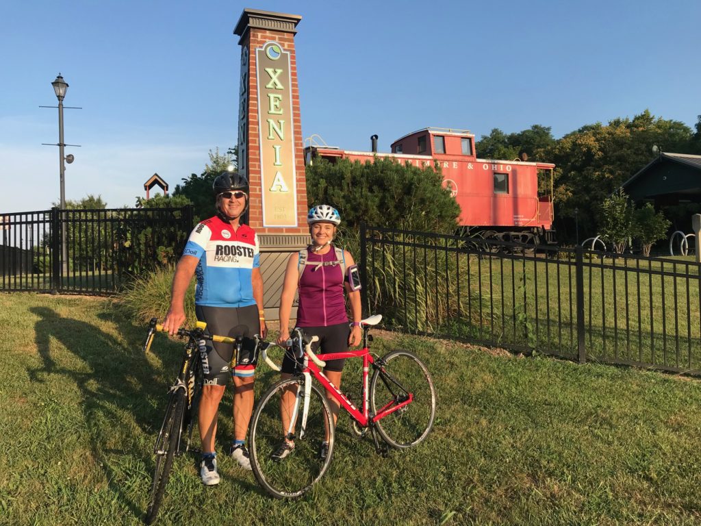
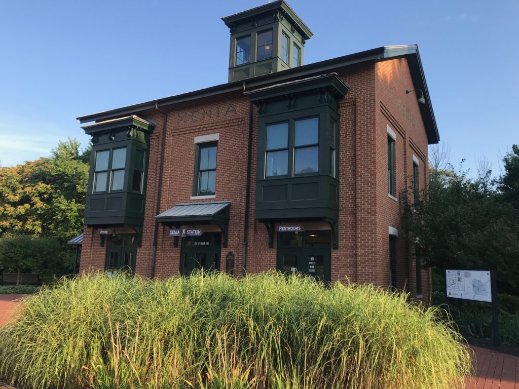
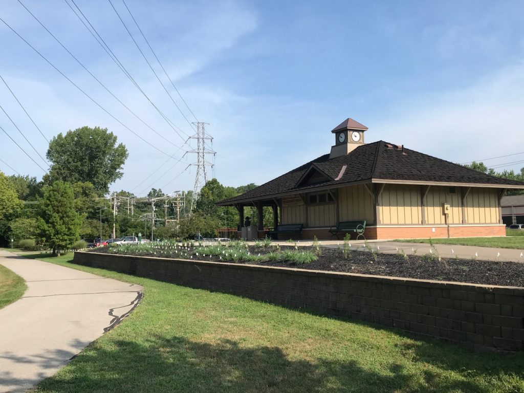
We headed east on the trail towards Xenia which was only seven miles away. We sort of lost “the scent” of the trail at the train station. Or maybe we didn’t. I was thinking we would connect with the Little Miami Scenic Trail which runs north to Springfield. And I see now we could have.

Chris and Barry (Credit: Laura)


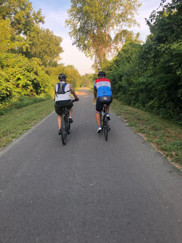
Chris and Laura were time-pressed. Although normally it would have been for church, Chris was leaving town for a week on business so we had to turn around and get back to the start.

Barry and Laura


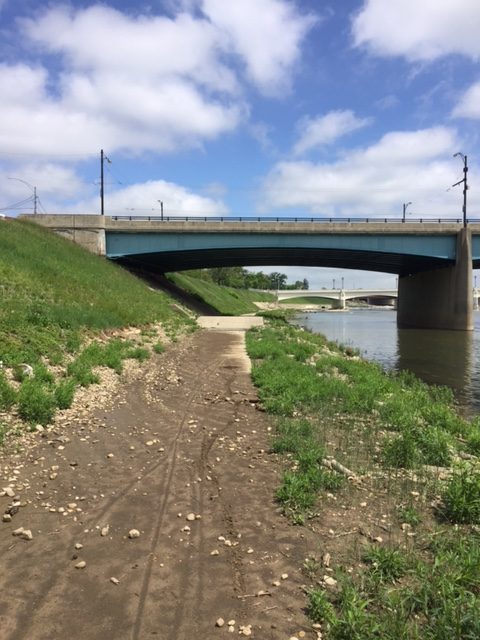
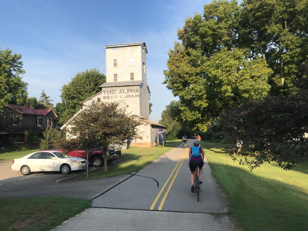
After saying goodbye, I rode more, this time to the west. Entering Montgomery County the trail got narrower and it wasn’t as good as it was in Greene Co. The trail may have also been older but there was a marked difference.

Xenia, Ohio


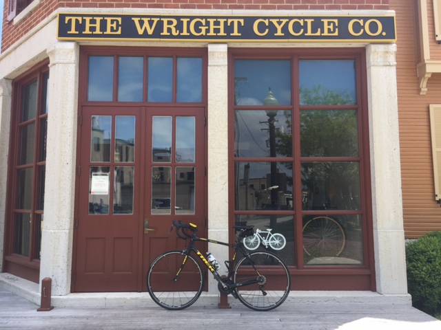
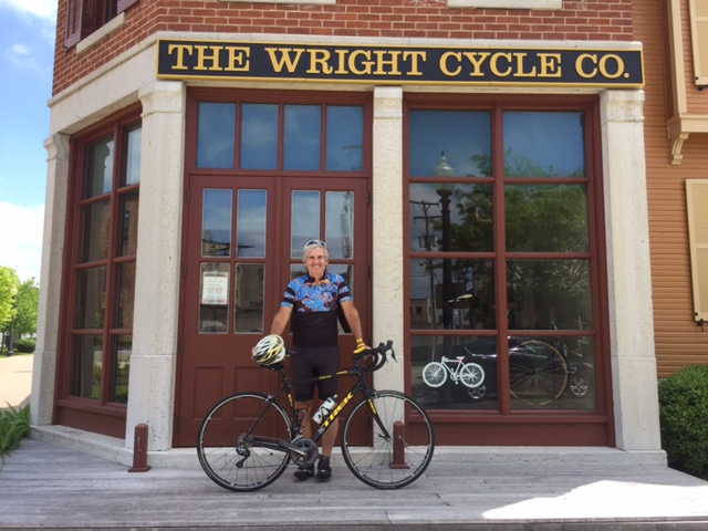
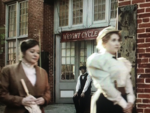
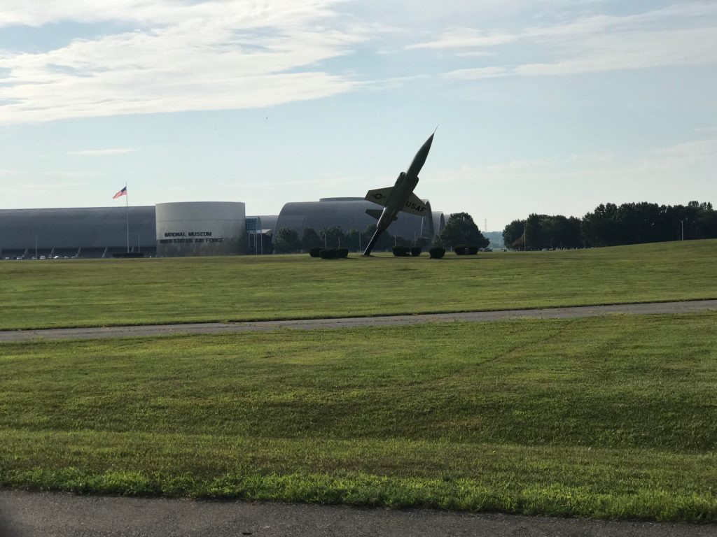
I followed the trail to Eastwood Metropark in Dayton. I think I picked up the Mad River Trail. I ended up at Wright Patterson Air Force Base Museum. This brought back some pleasant memories. We lived near here in the mid-60s. Money was very tight and family activities meant to find things that were free.

Eastwood Metropark


The Air Force Museum was free. The first time we went we followed the signs and were directed to Gate 35c. My dad saw that and thought he needed 35 cents. And I’m not sure he had it. But when he approached the sentry he waved us on, and Dad was probably not the first person who thought that.

Air Force Museum


I smiled as I thought of that memory then turned around. I needed to get back on the road to Virginia.


Barry, Chris, and Laura selfie (Credit: Laura)
As I was going through a parking lot in the Eastwood Metropark, a car backed out of a space never seeing me. A man walking a dog yelled to the driver, “there’s a bike behind you.” I swerved and did a U-turn. The driver sped off, and I’m still not sure he ever saw me. As I left the walker said, “that was close, wasn’t it?” I told him as far as drivers go, it really wasn’t that bad.

Beavercreek Station


Maybe it was the company I had for the first half. Or perhaps the enjoyment of exploration. Or maybe the gorgeous weather. But it was very enjoyable and I hope to get back to the Dayton area to ride again.


My Past is Past

DAYTON, PENNSYLVANIA

This wasn’t the trip I planned but this was the trip I got. I drove to Dayton with the intent of doing a 30-35 mile loop around Mahoning Dam up to North Freedom.

I arrived in Dayton to begin my trip. I had preloaded a course on my Garmin and was determined to follow it. I went about 500 yards and turned onto a dirt road. Oh crap. Not sure how long I could do this. Thankfully it was less than a mile.

I followed my course for about four miles when Garmin told me to turn. It was a dirt road. I decided to forgo my plan and ride the “main” road. The main road was a chip and seal road. There were no flats. It was up and up again. Perhaps an occasional down hill. But not many.

I turned to go to Timblin, passing the farm of Scrap and Dot Snyder. Scrap is deceased but he was a classmate of my dad’s, and as I would discover later, 4th cousins.

Hard to imagine that 100 years ago this railroad town was a center of commerce. I stopped at the post office and talked to the postmaster, Stacey Taylor. She helped me with some of my roads. I had wanted to go up Brocious Road. I found the road, despite missing a sign, but found it was uphill, turned to gravel, and protected by angry dogs. I turned around.

I found my way to St. James Lutheran Church, founded by my great-great-great-grandfather in 1831. In 1989 I visited the church and was not greeted warmly as the locals were afraid my Uncle Tom Sherry and I were there to steal their pastor. We weren’t.

The church closed three years ago and Stacey told me the Lutherans tear down their closed churches rather than let them fall into disrepair. I didn’t have time to walk the entire cemetery but found some of my Sherry relatives. I actually meant relatives named Sherry because the cemetery is full of my relatives.

I left on my planned route and one mile later the road turned to gravel. Although I followed it for a bit, I turned back. I came to Shreckengost Road where I saw a teenage Amish girl. We talked for about 10 minutes. She helped me avoid gravel (go back the way you came).

I went to Ringgold then headed over to North Freedom. I passed Sherry Hollow Road. I understand my great-great-grandfather, Daniel Sherry’s brother, John Sherry, had his farm here.

We lived in the area from 1961-1964. My dad served four churches and I passed the North Freedom Church. I made my way to Salem, or New Salem, and saw the second church. In New Salem I attended a two-room schoolhouse for first and second grades (1-2 were in one room; 3-4 were in another). My teacher for first and second grade was Mrs. Shreckengost.

I left Salem and rode down to McWilliams. Then it was back towards Dayton. My legs were hurting.

I came to the crossroads. Here was Mt. Carmel E.U.B. church which may have close by 1968. It was the third of the four churches my dad served. A forest surrounded it and I thought about the Lutherans. How much better it might have been to simply tear it down.

The sign said Dayton – 8 miles. I knew my planned route was around the face of the Mahoning Dam. And I knew it would be 12 miles. I was very tired and was planning to ride the MS Ride tomorrow. I decided to go the short way.

I got back to Dayton and met a kindergarten teacher at Dayton Elementary School. The school opened in 1963 and we were bused from Salem to Dayton to attend this new school. It has been 54 years since I had been there. She was not impressed.

Back in Dayton, I met a kid on a bike. He wanted to race. He wasn’t wearing a helmet and I told him that I wouldn’t race unless he wore one. Deal breaker.

In a little over 30 miles I had climbed about 4500′. That was extremely mountainous. It was hot. I was toast.

That evening I met my 4th cousin, Jody Sherry Scott, in Clarion.  She told me her dad was born in McWilliams. We met at her frozen yogurt place in Clarion, Yo-Licious. I highly recommend it.


Great Miami River Trail Part I

DAYTON, OHIO

I was excited about riding the Great Miami River Trail in the Dayton area. I wanted to ride next to the river and find the Wright Cycle Co., the historical museum site for the Wright Brothers.

Dayton Aviation Heritage National Historical Park

I  also wanted to visit the Dayton National Cemetery. I have two distant relatives buried there and my cousin, Patricia Lawmaster, posted that yesterday would have been her mother’s 93rd birthday. I wanted to get some photos for my genealogical database and for Patricia.

Stella Ruth Gallagher, Patricia's mother
Stella Ruth Gallagher, Patricia’s mother

I thought I would park at Deeds Carillon Park in Dayton. I figured it was safe and, as an added bonus, was probably 50 years since we visited as a family. It might be neat to see it again.

Dayton06

Ashley Snow (R), National Geographic's American Genius
Ashley Snow (R), National Geographic’s American Genius

I drove out to the Dayton National Cemetery. I found my gravestones then headed towards Deeds Carillon Park. On the way I looked up and was besides the Wright Brothers’ Museum. It was a no-brainer, I would park there. There would be no Deeds Park for me today.

Dayton03

Last year National Geographic aired a series called American Genius. The episode called “The Contest for Human Flight” documented the Wright Brothers vs Glenn Curtiss “the World’s Fastest Human.” My daughter, Ashley Snow, had a cameo appearance walking past the Wright’s bicycle shop. I knew I needed a photo in the same location.

Dayton10
Period house down the block. Not sure if it’s 120 years old or made to look like it.

I went into the visitor center and as greeted by a nice government worker wearing a beige and green uniform. She told me that this museum was covered the Wright Bros. up to their flight at Kitty Hawk. There was another museum across town that covered post flight Wright Bros. She also told me that in all, Orville and Wilbur owned five different bike shops at different times.

Dayton14
One must cross Wolf Creek as it flows into the Great Miami River on this narrow path

She called another ranger, Casey, to come open up the shop for me to tour. I wish I had asked a question about the history of the building. Which shop was this? Then what, store? Warehouse? Residence? Vacant Building? What involved in getting it restored? Oh well, maybe I have to go back.

Dayton16
Building a river experience

After touring the Museum, I headed out to find the trail. I only went a few blocks before I was at the river. I found stairs down and then started up the trail. Many blocks in this area were closed but this was open. I didn’t go far before I saw how crappy the trail was. Rocks. Mud. Three to four inches deep at times. It was not enjoyable and I soon climbed out of the river basin.

Dayton18
Rough pavement ahead

I made my way into the city of Dayton although it was more like dipping my toes in Lake Erie. I didn’t see much. I found the trail on the east side of the river and it was torn up too.

Dayton15
This section trashed my bike

But I finally found a way out on the trail and rode north. I knew I’d be riding later in the day and didn’t want to go too far. The trail became more remote. The farther from the city the better it was.

Dayton22
Dayton, Ohio

I passed a golf course named Kitty Hawk G.C. Wonder if North Carolina knows?

Dayton24

I turned around. I mostly retraced my ride back to the Wright Bros. Museum. Once finished it was off to find my favorite part of Dayton – Skyline Chili.

Dayton28


Verified by MonsterInsights