Covered Bridges and another Mountain

SÖRENBERG, SWITZERLAND

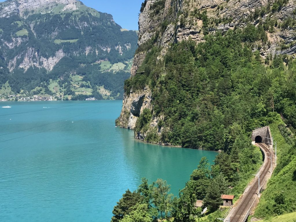
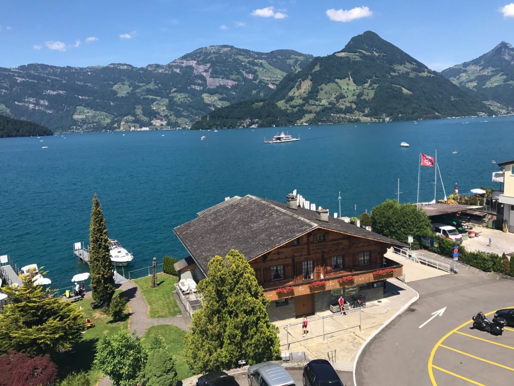
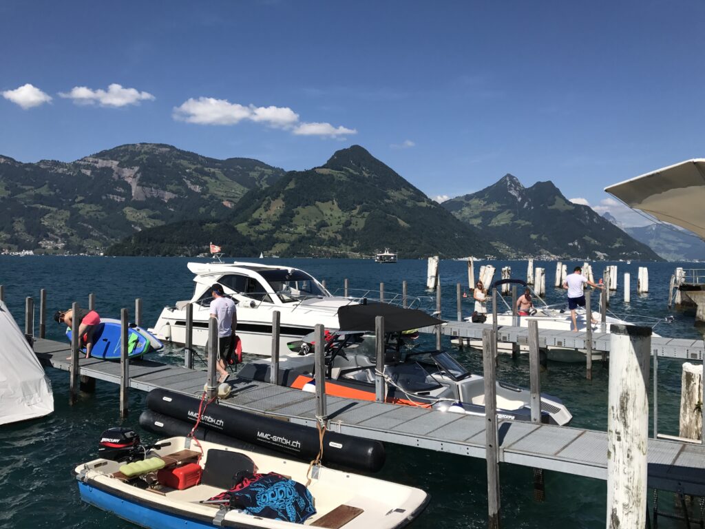
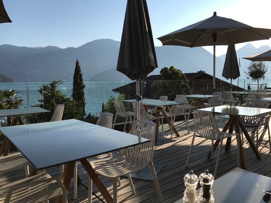
The day started with breakfast at the Seerausch Hotel in Beckenreid. It was the first hotel where they had a full buffet including eggs. So good but the view of Lake Lucerne was better.

Breakfast overlooking the beautiful lake

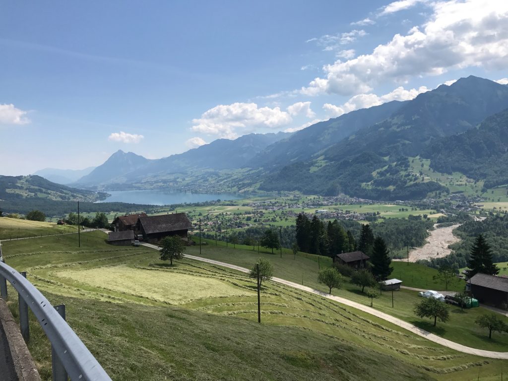
The Panoramic Alpine Route 4 would quickly take a lakefront road. There standing in the grass close to the lake was a topless woman talking to another woman. She was probably getting ready to catch some rays. I wanted to stop there for a photo of the lake but that would have been creepy in any language. So I went about 500 meters farther.

Lake Luzerne

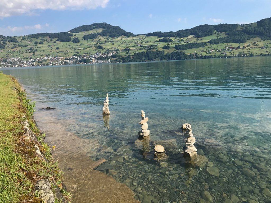
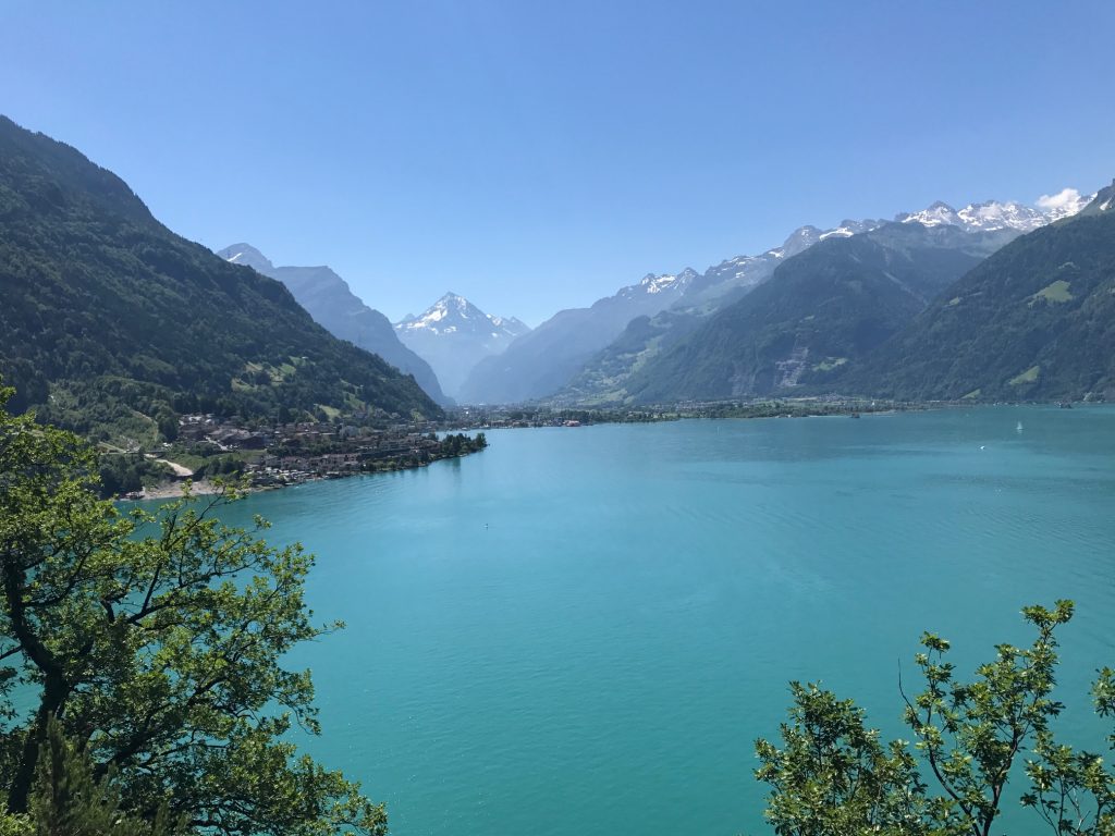
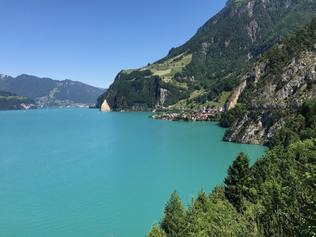
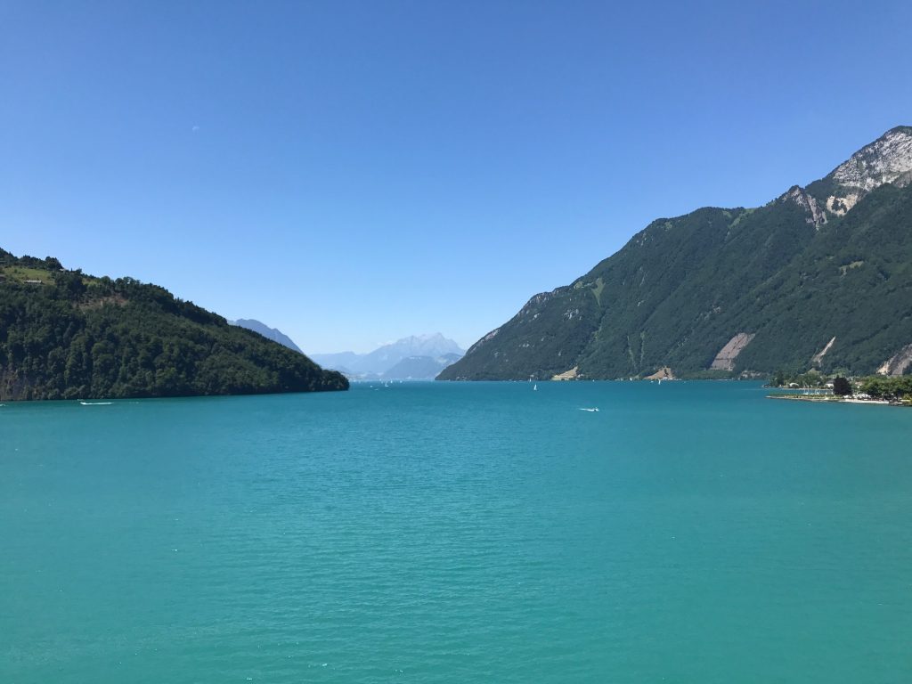
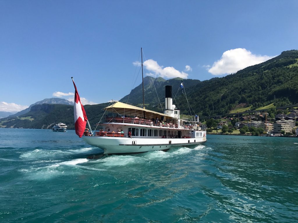
The water of the lake is clear. The morning was perfect, about 68° (20° C).

Lake Lucerne

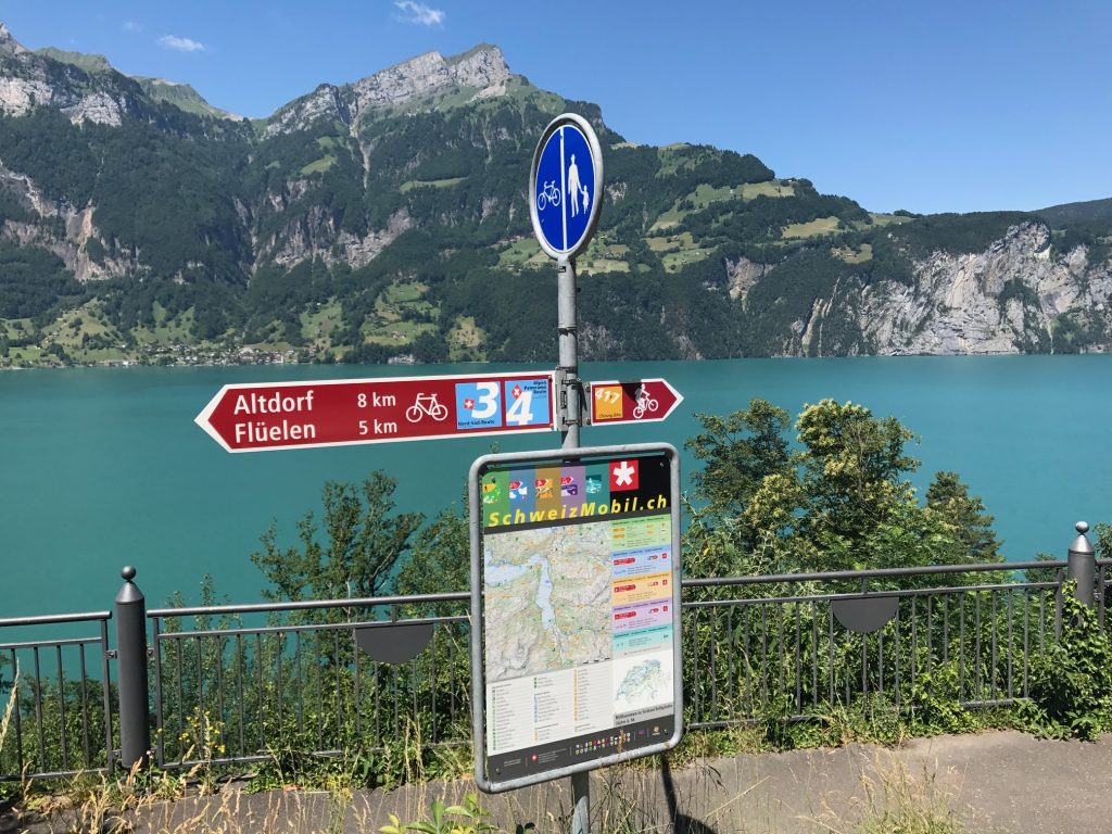
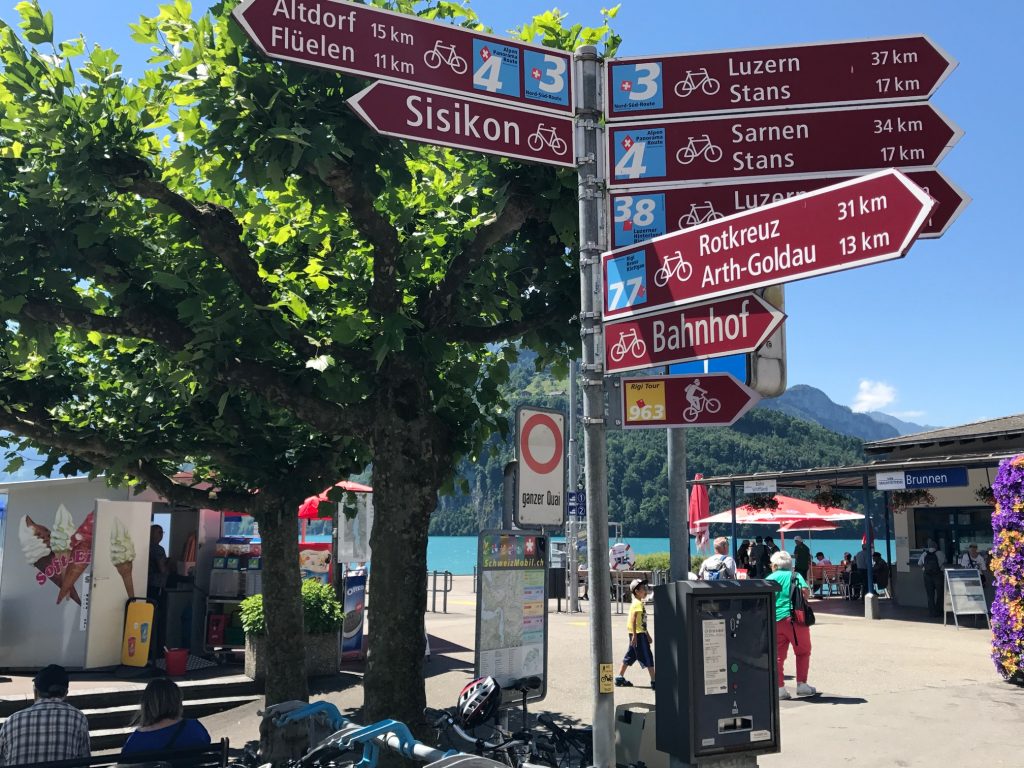
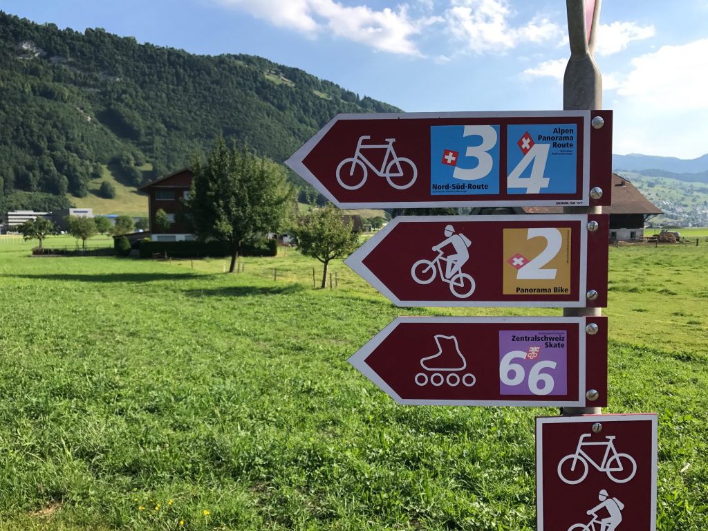
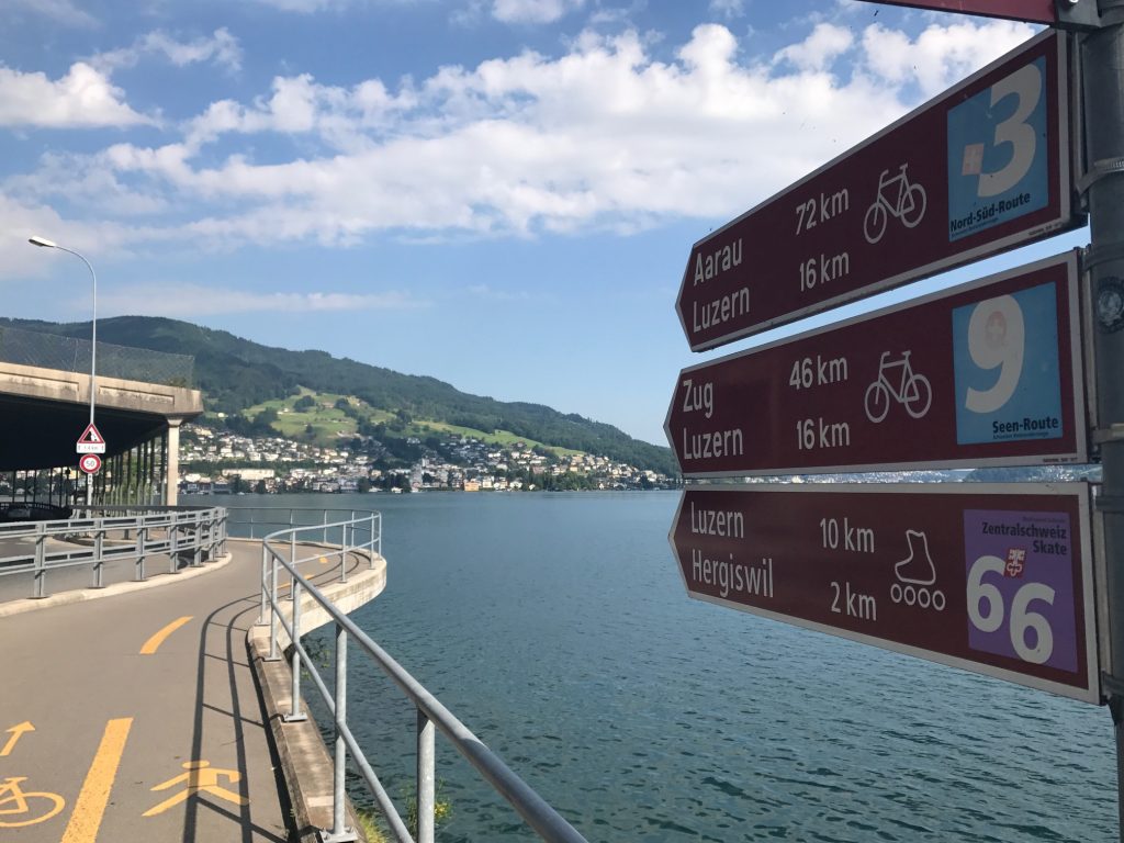
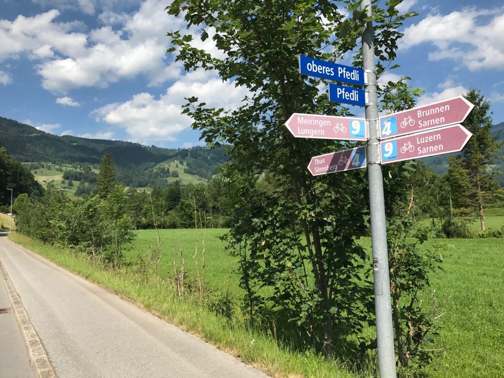
I would follow the Blue Route 4 signs where I could find them and rely on my Garmin as a backup. And I would need them.

Engelberger, Swizterland

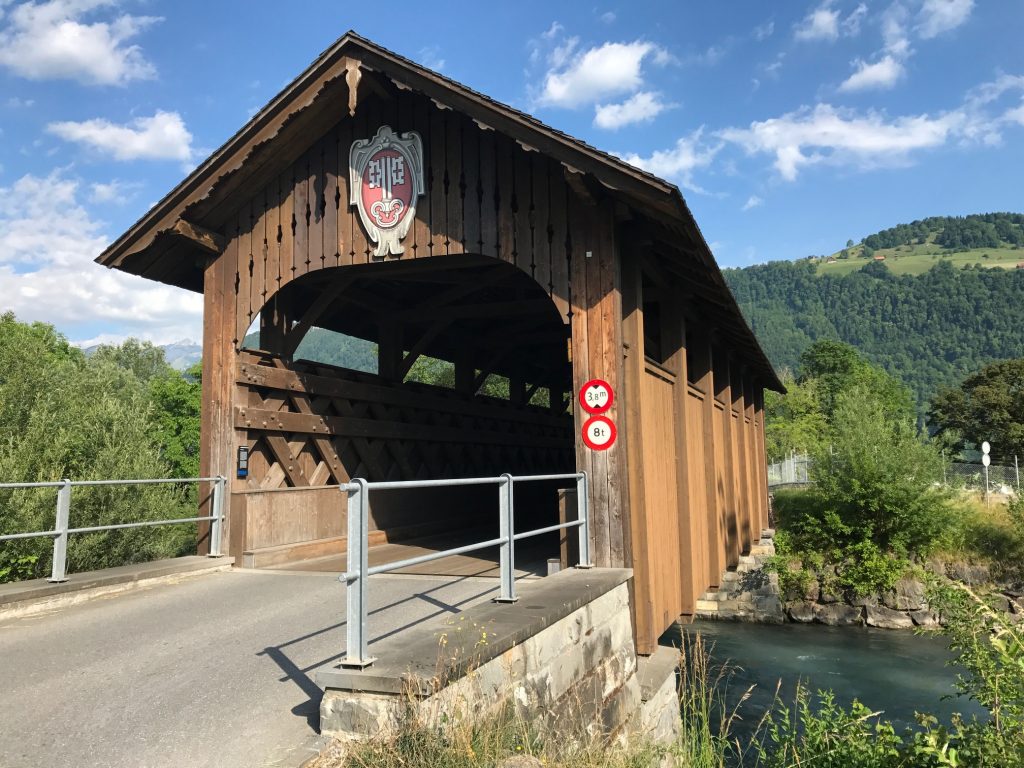
A real surprise was coming to a covered bridge. I couldn’t tell when it was built…

Engelberger, Switzerland

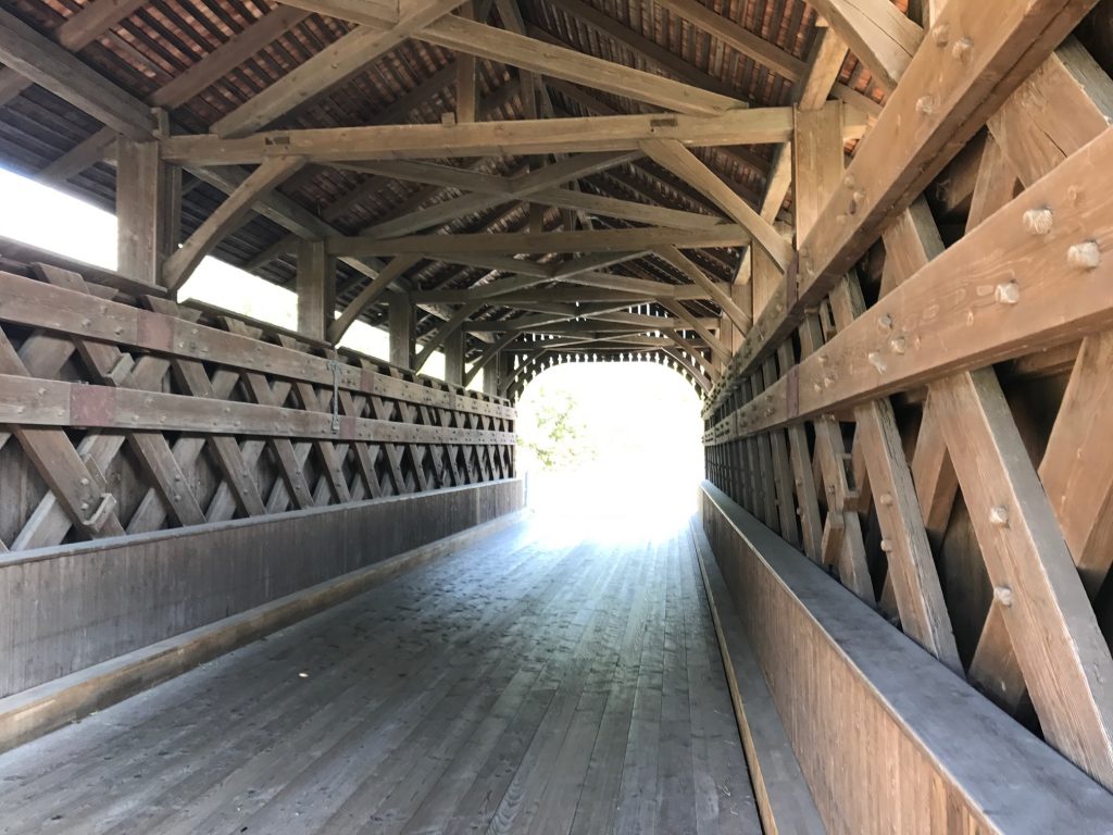
…but it sure had sweet decking (floor).

Buochs Airport, Switzerland

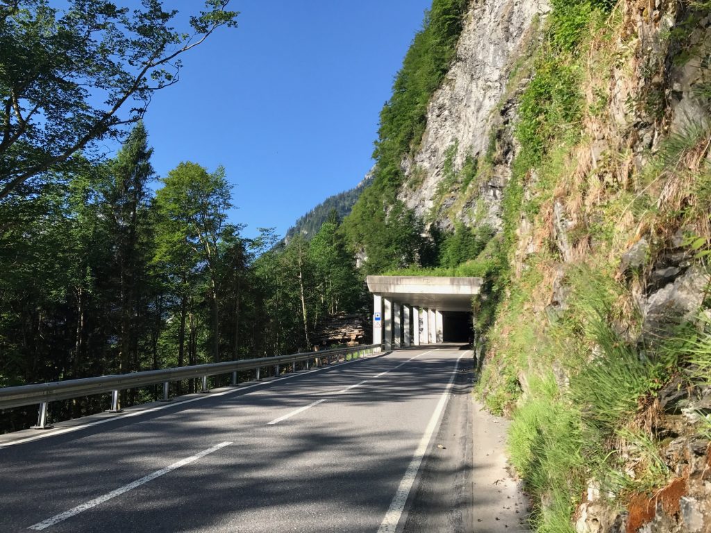
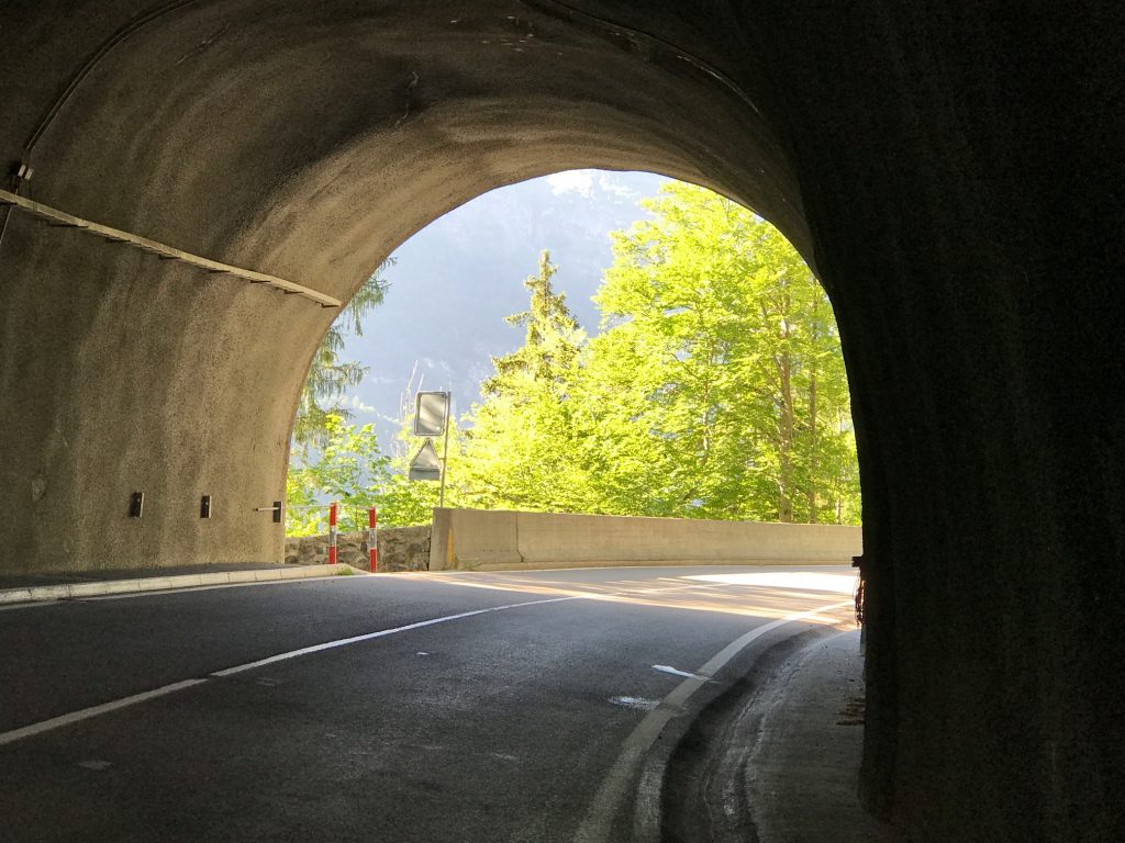
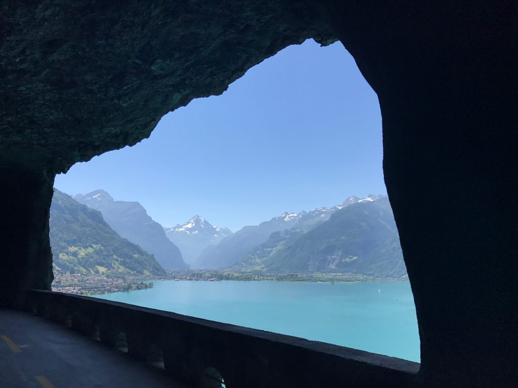
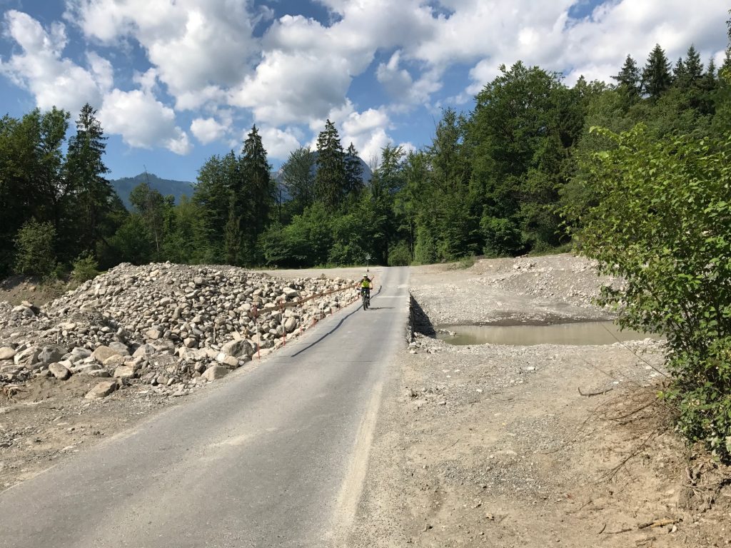
The first direction decision came at a culvert. There was a sign and I thought I followed it correctly but it took me in this 100-meter loop under the road I was just on.

Buochs Airport, Switzerland

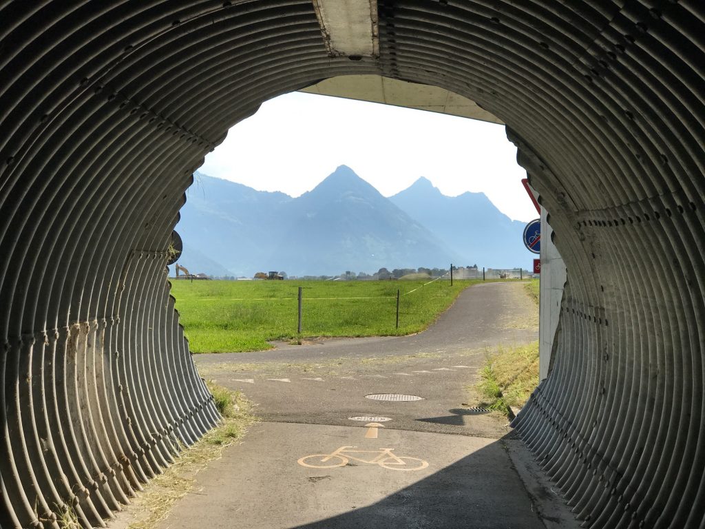
I didn’t mind it one bit because it gave me a unique view of the mountains.

Stansstad, Switzerland

I got off course a bit in the little town of Stansstad. I did a two-block loop, looked closer at the signs, compared to Garmin, corrected it then kept going.

This was 10 meters from the turn for Route 4 at Lake Lucerne but sure is pretty (Hergiswil, Switzerland)


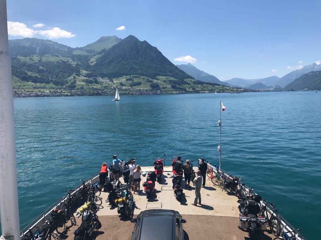
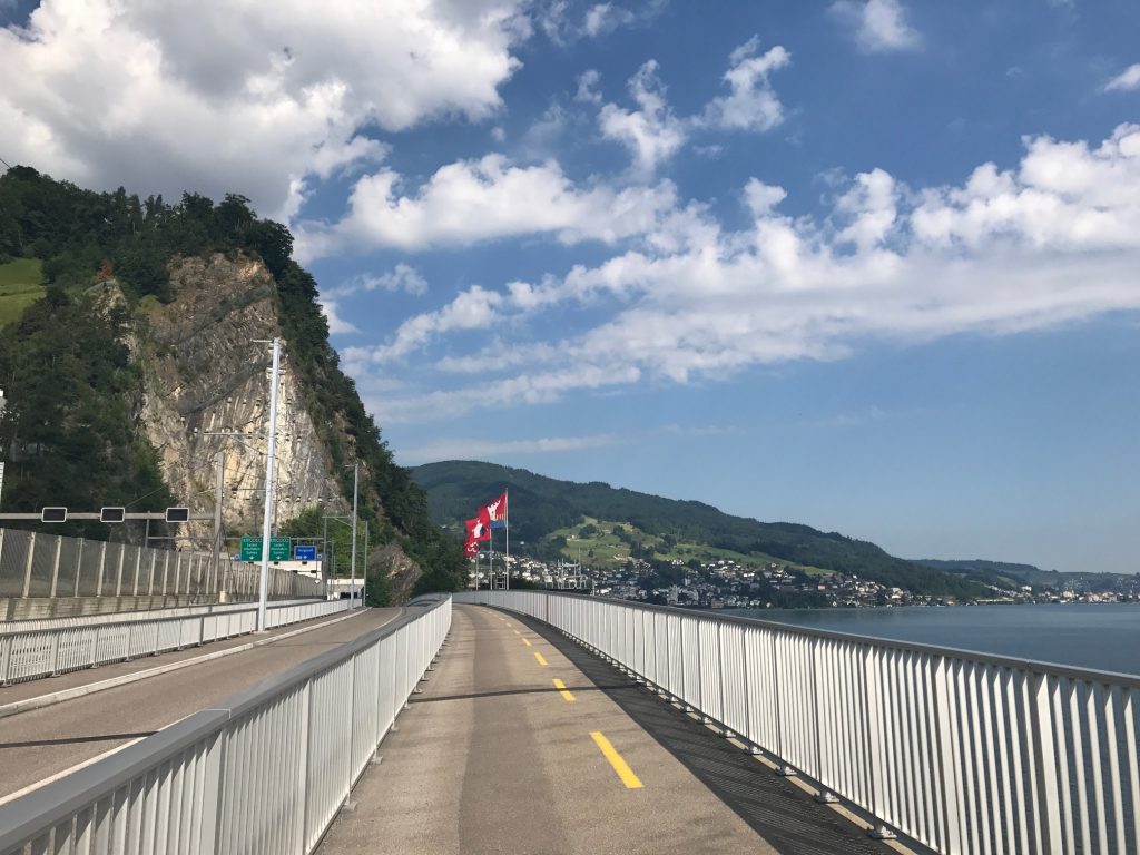
I crossed a bridge then followed Rte 4 on a lake road to Alpnachstad.

Stansstad, Switzerland

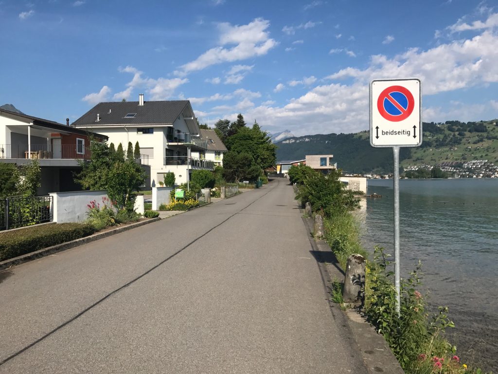
I followed the road next to the lake. There was a “sidewalk” which was really a boardwalk.

The Pilatus-Bahn cog railway

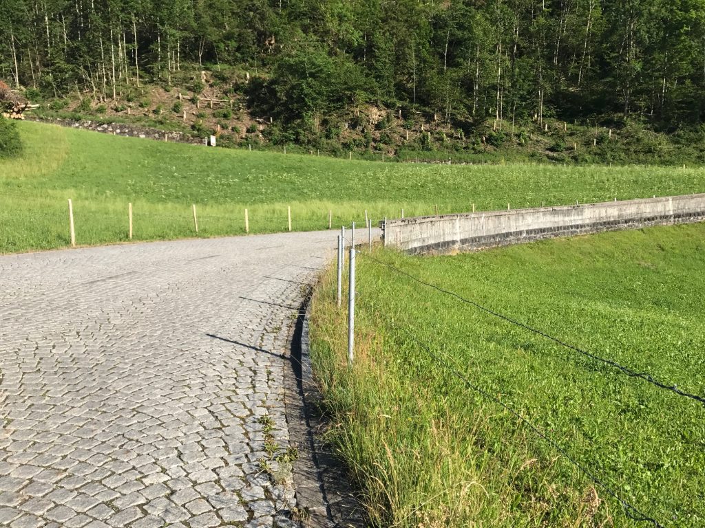
I was expecting about a 30 km (19 mile) easy cruising ride this morning and that is what I got. Cobbles. But for a short ride.

Saren, Switzerland

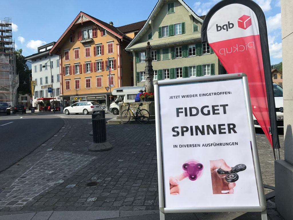
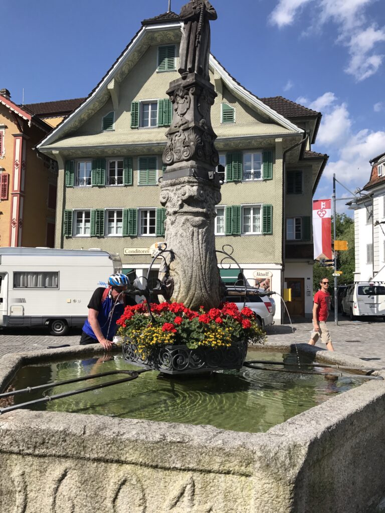
The town of Saren is beautiful. In the center was freshwater, which I would need. And the fad of 2017, Fidget Spinners, is global.

Wilen (Sarnen), Switzerland

On my way out I entered a forested area then crossed what appeared to be a stream project. Had I looked to the right, and maybe I did, I would have seen what I was in store for.

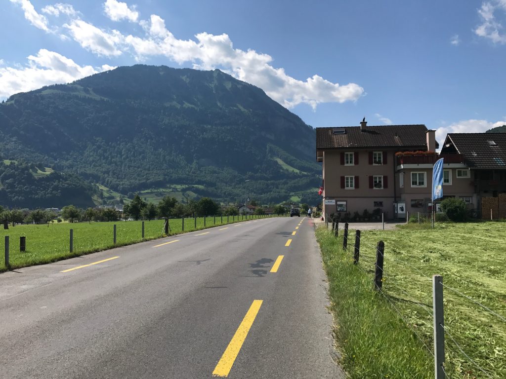
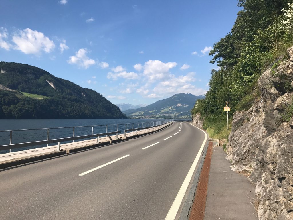
Along the lake, I was back on a highway. Some roads have bike lanes which is really one meter to the right. The lines presumably make the drivers aware that we are there.

Giswil, Switzerland

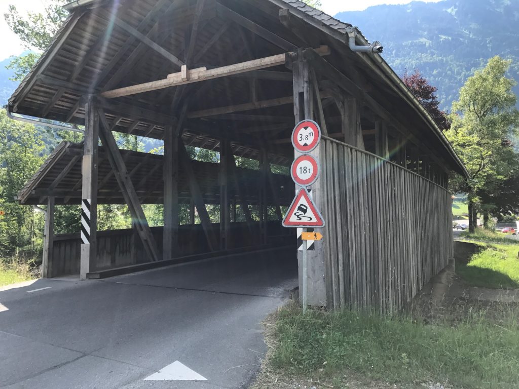
At Giswil I came to a second covered bridge. It’s not quite Bedford Co., Pa., but I was a happy camper. Or rider. I love my covered bridges.

Giswil, Switzerland

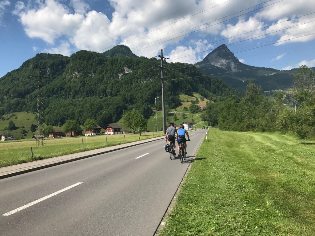
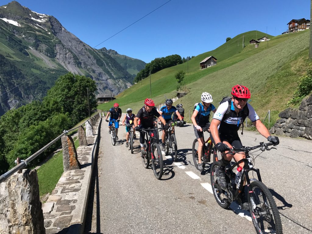
Leaving Giswil, I uncharacteristically made a good biking decision. I stopped for a photo then jumped in behind two riders who looked like they were riding the Alpine route.

Giswil. Route 9 goes left and up; Route 4 continues straight. I made the wrong turn.

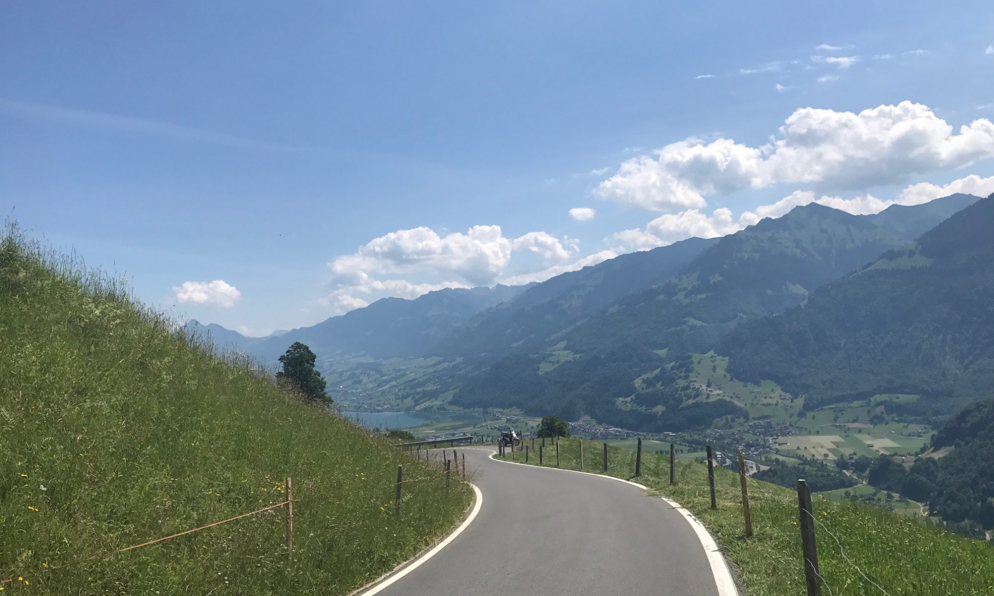
Ahead I could see a road climbing, steeply, to the left. I knew I had a left turn coming up. They turned and the one guy turned back. I passed him and started climbing. It was steep.

Giswil, Switzerland

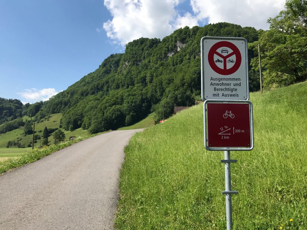
I checked Garmin and it said I was “Off Course.” Well, sometimes one can be 10 meters off and it says I’m off so I was going to ignore it. I started climbing higher and could see I was going away from the route I mapped.

Giswil, Switzerland

The two men had stopped already and I asked (MAJOR LANGUAGE BARRIER – not sure they were German-speaking) if this was Route 4 (I held up four fingers). They said it was.

Giswil, Switzerland – Be careful reading the signs

I thought back to the turn. There was a sign but I didn’t look. The thought of going back down those steep 400 meters to check the sign then climb it again disturbed me but not more than taking the wrong route. I grabbed a quick photo and went back down.

Bike Route 4

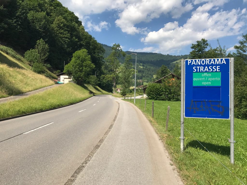
I was glad I checked. I was right. Rte 4 continued straight for another 400 meters before turning onto Panorama Strasse.

Hey, that looks like my RAV4

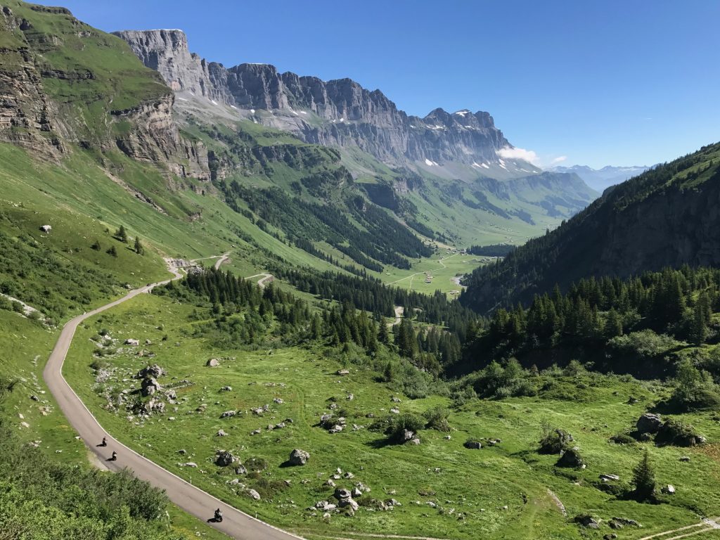
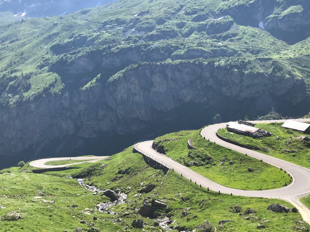
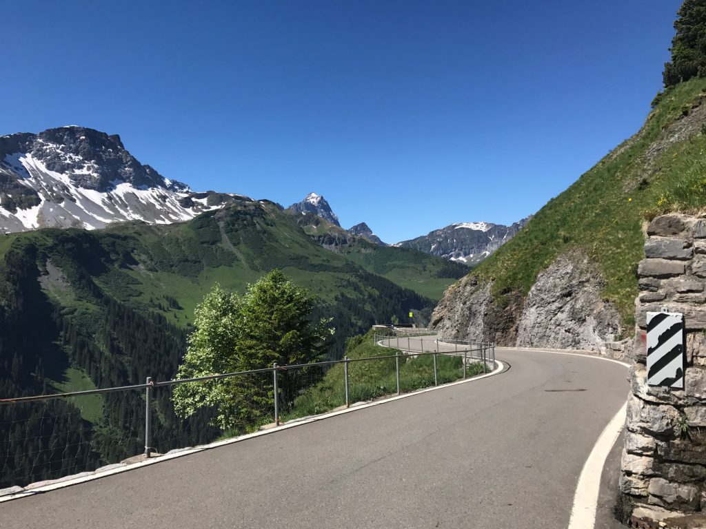
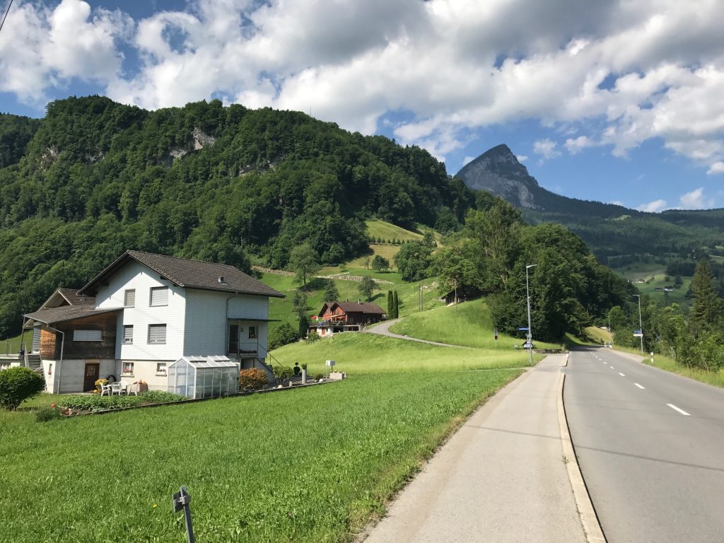
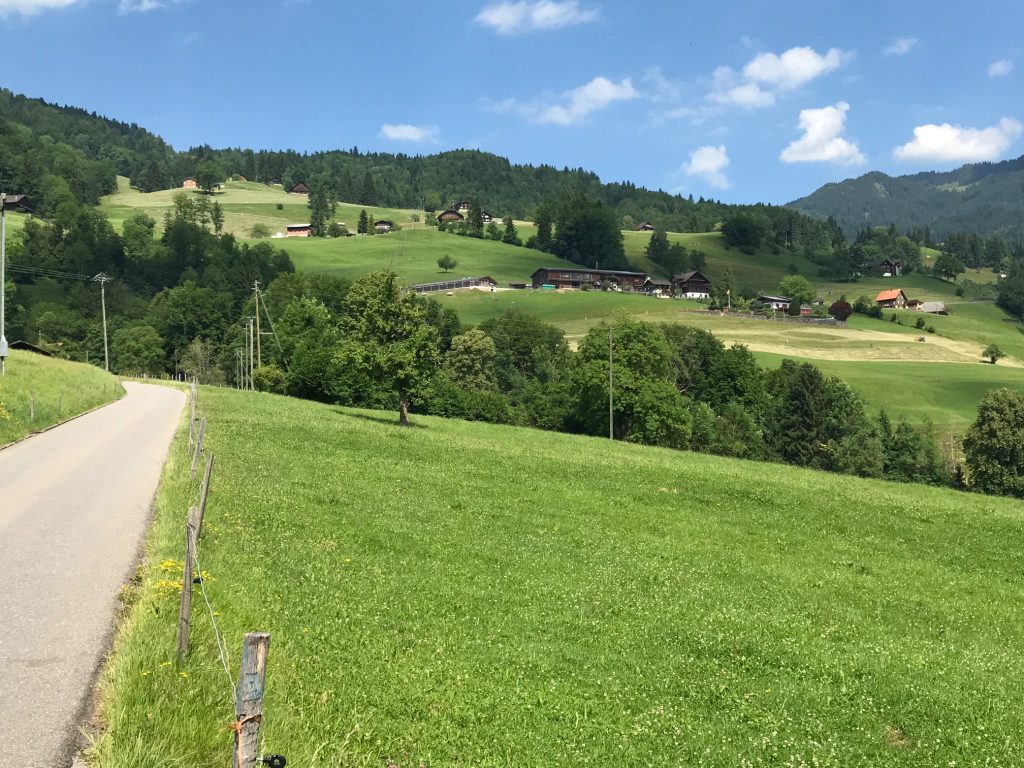
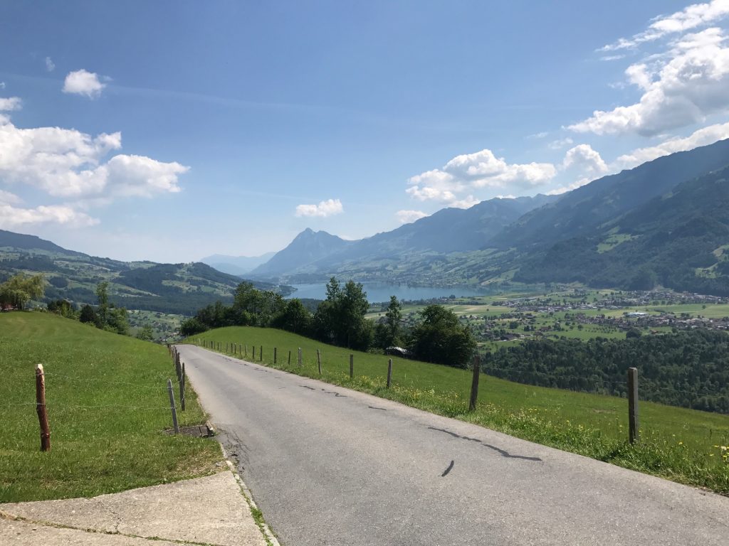
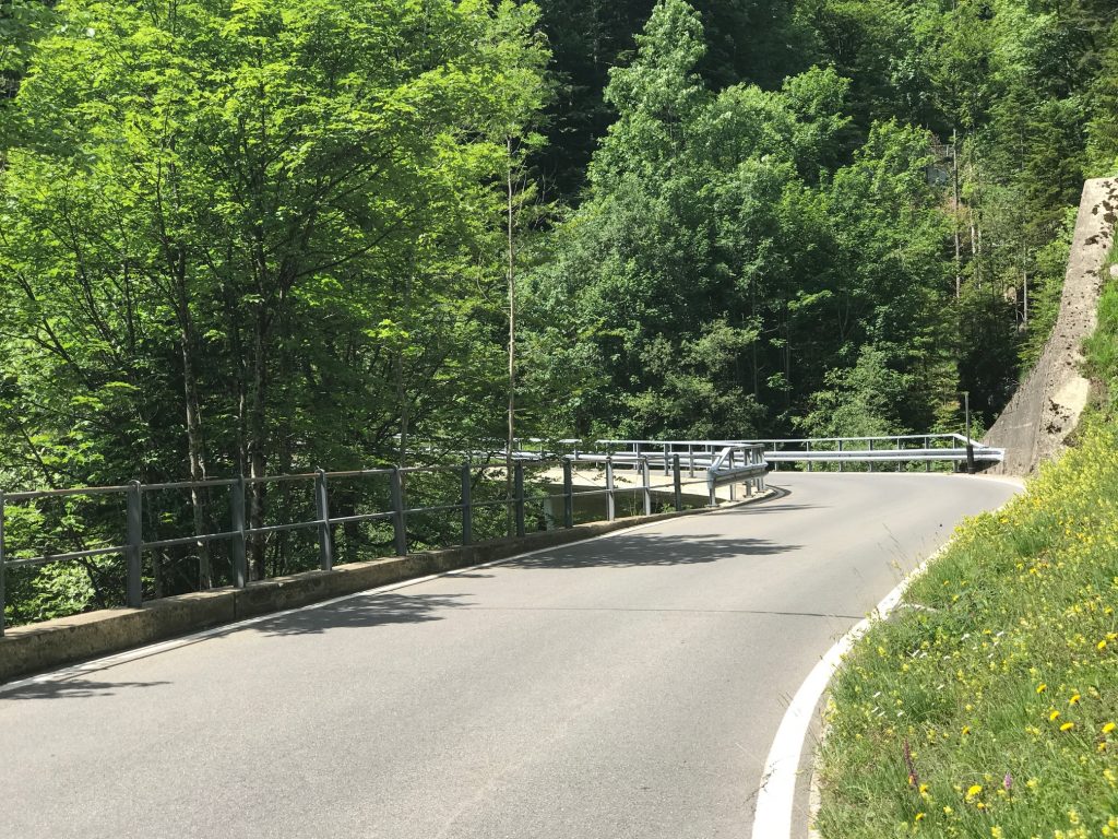
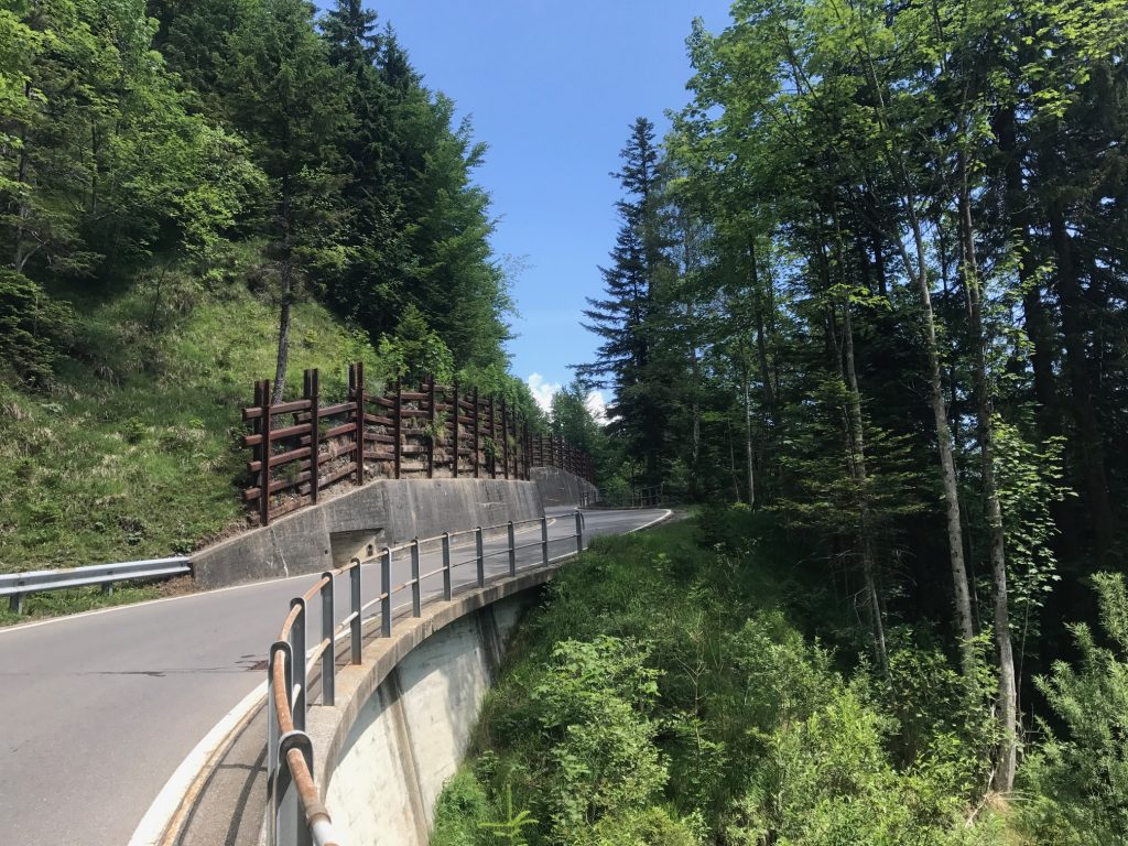
This road was mostly a one-lane road. Two cars could not pass. But there were some sections every 400-500 meters or so where a car could pull over to let one pass in the opposite direction.

Giswil, Switzerland

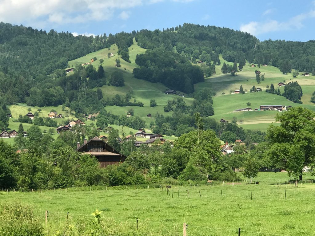
I looked up and figured I would pass by every house on the mountain. I was right.

Giswil, Switzerland

There was room for a car and a bike but only inches between a bus (city) and this bike. Thank you bus.

Giswil, Switzerland

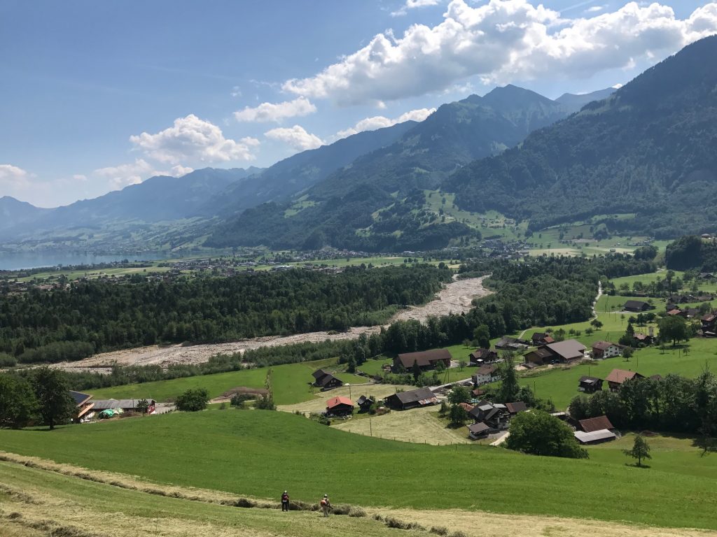
I was sweating profusely. On the lower slopes were simply farms and no trees. I was exposed to the blazing sun.

Giswil, Switzerland

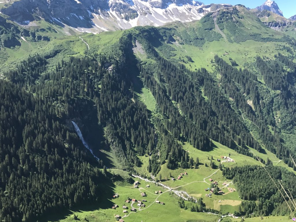
The climb was 11.8 kilometers (7.3 miles). Much of the way the grind was 8-9%.

Looking back to the washed-out stream I had crossed – Giswil, Switzerland

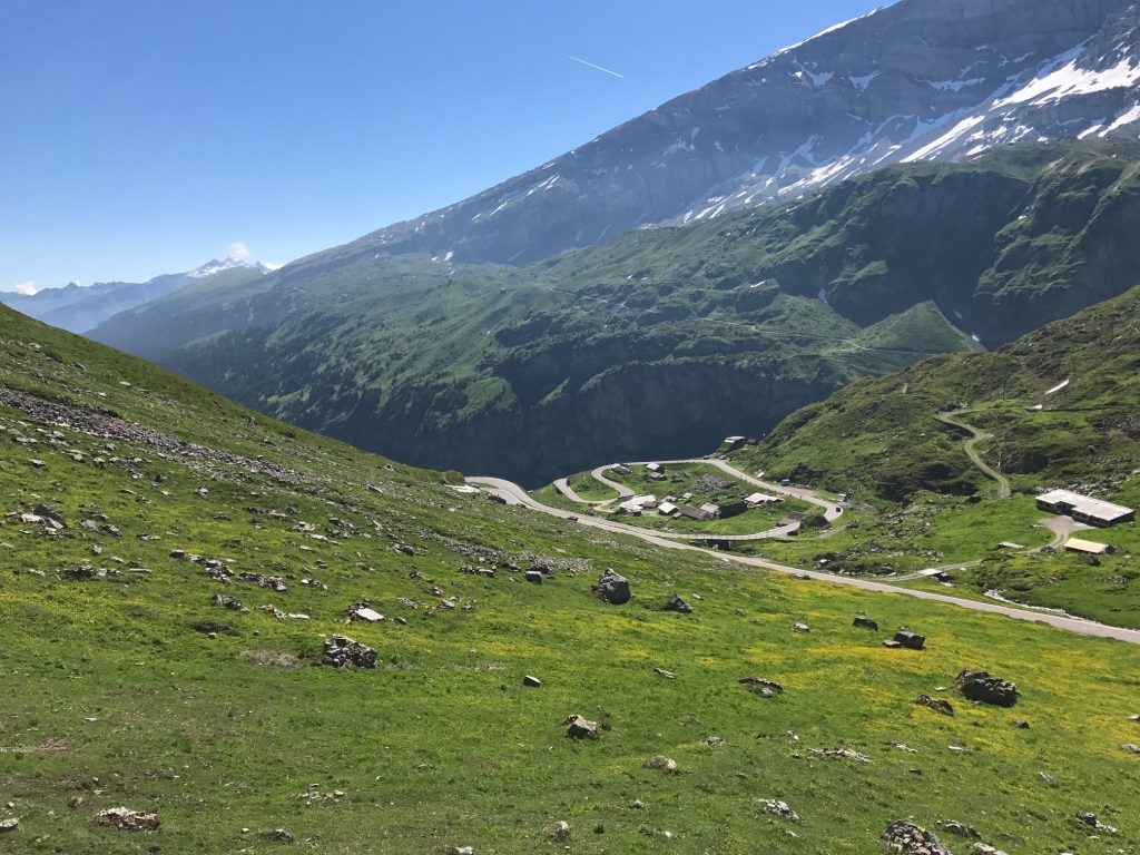
In my mind, I had calculated the climb to be 11 kilometers but as I watched Garmin I had a math error. I was off by one kilometer. It’s tough when you think you’re at the summit but you’re not.

Giswil, Switzerland

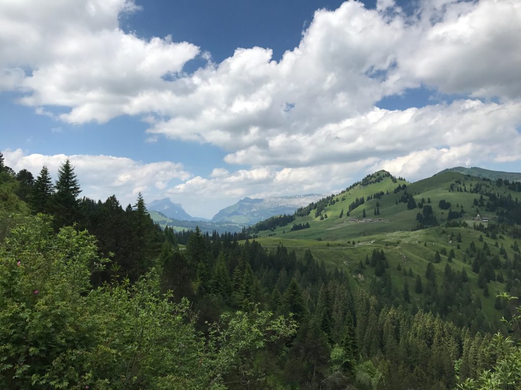
Somewhere, and I have no idea where the open section gave way to forest. It was a welcome relief from the sun.

Giswil, Switzerland

In the forested section, the Garmin showed higher gradients. It was registering 11-12% and even up to 18% (which I know it wasn’t – my body knows 18%). It wasn’t that steep. Long, yes. Steep, no.

Actually a 7-8% upgrade here – Giswil, Switzerland

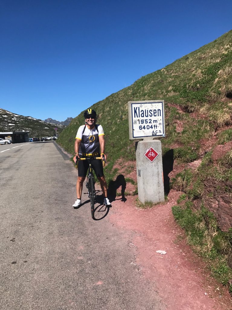
Unlike Klausen Pass yesterday, where I was passed by 203 motorbikes, today I would be passed by 13 and only one “was in a hurry.”

Giswil, Switzerland

I went long stretches not hearing anything but birds of the forest and the occasional cowbell.

Giswil, Switzerland. So glad to find this water.

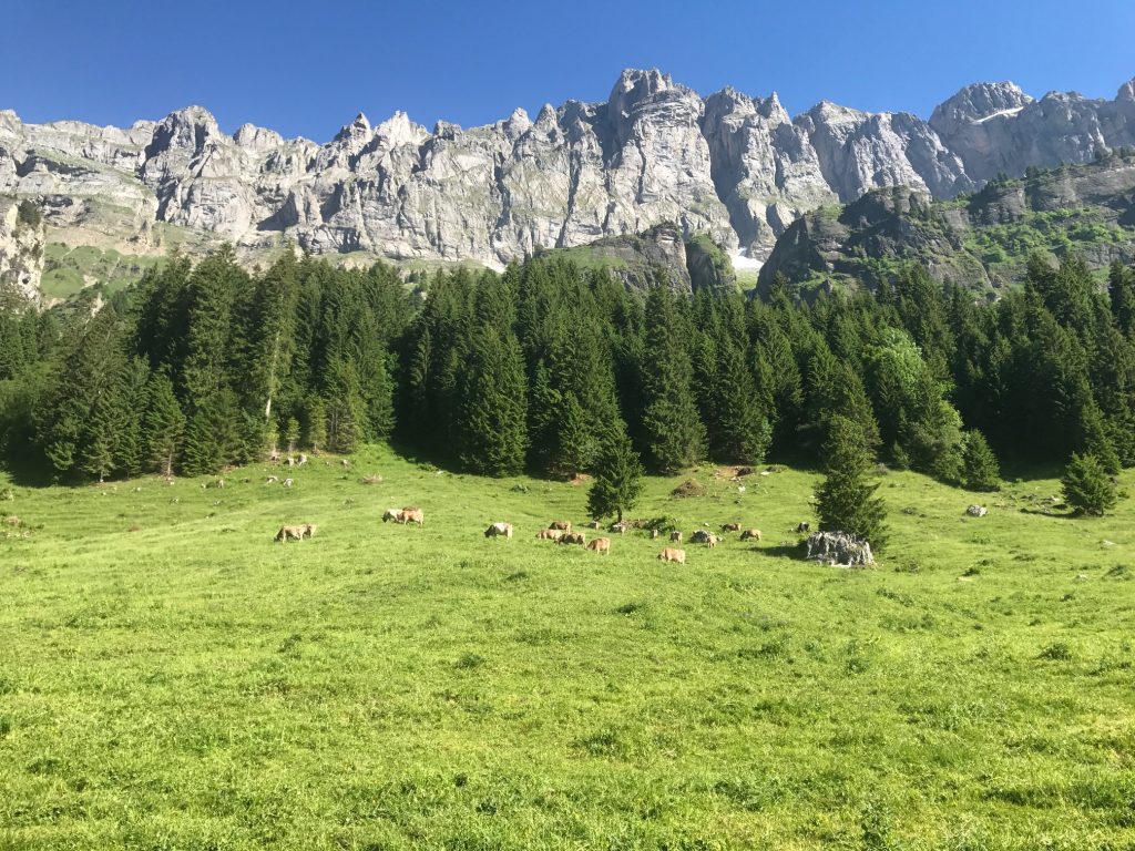
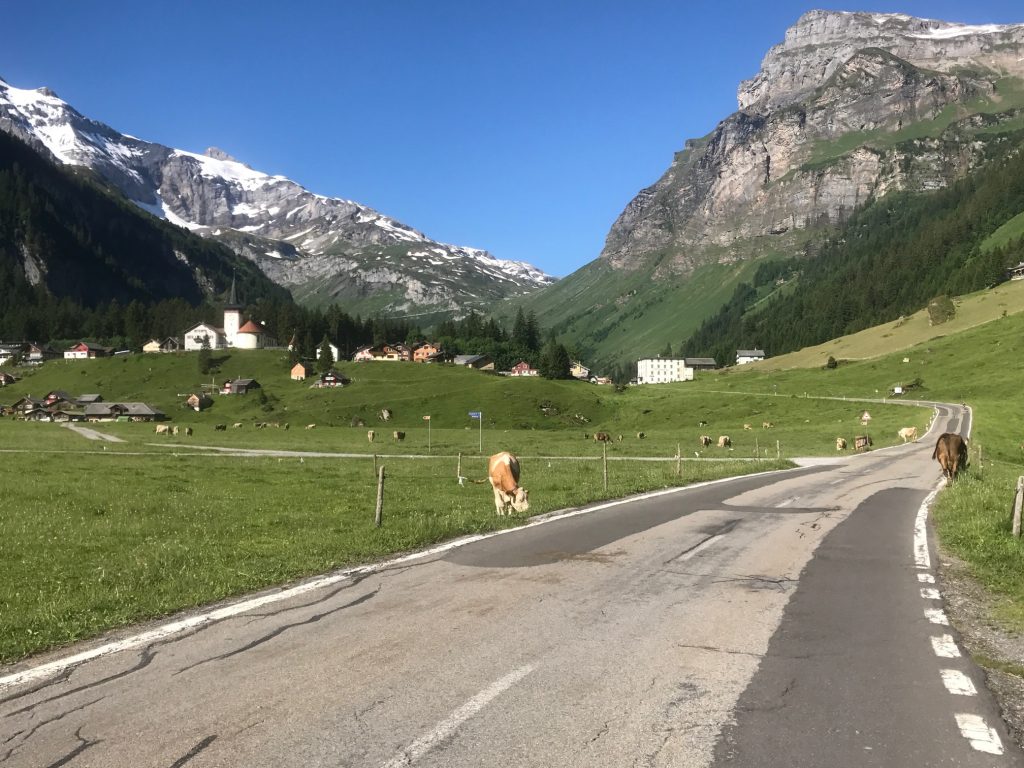
The higher I went the more cows I heard. I crossed a cattle guard and was in an open graze cattle area.

On this corner was an air sock and this guy sitting with his toy. He showed no interest in interacting with me even as I stopped and took an obvious photo. Giswil, Switzerland


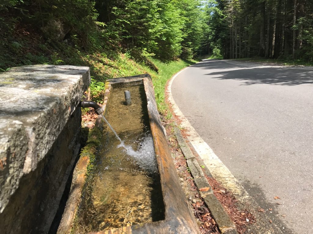
I went through those two bottles and saw a water fountain. I stopped and filled up. Very cold water. They would last me another 2-3 kilometers.

Giswil, Switzerland

I came upon perhaps 40 school kids on a hike. For a while they seemed to be walking at the same pace I was climbing. But I soon passed them. A couple of kids tried to run alongside me but they didn’t last long although I thought they may beat me to the summit. They didn’t.

Giswil, Switzerland

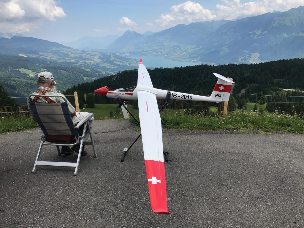
What I thought was the summit was still 1200 meters from the top. A man sat there with his toy airplane. There was a windsock attached to a pole and he brought along his own windsock. I thought about asking him to take a photo of me climbing but he had no interest in even making eye contact.

Giswil, Switzerland

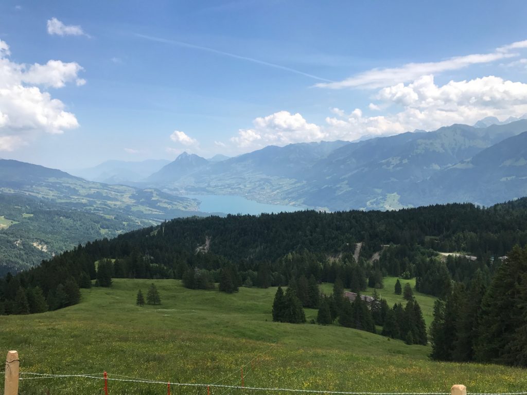
The views on the descent weren’t nearly as breathtaking as those on the ascent. Or maybe I simply had more time to take them in on the climb.

The gondola at Sörenberg

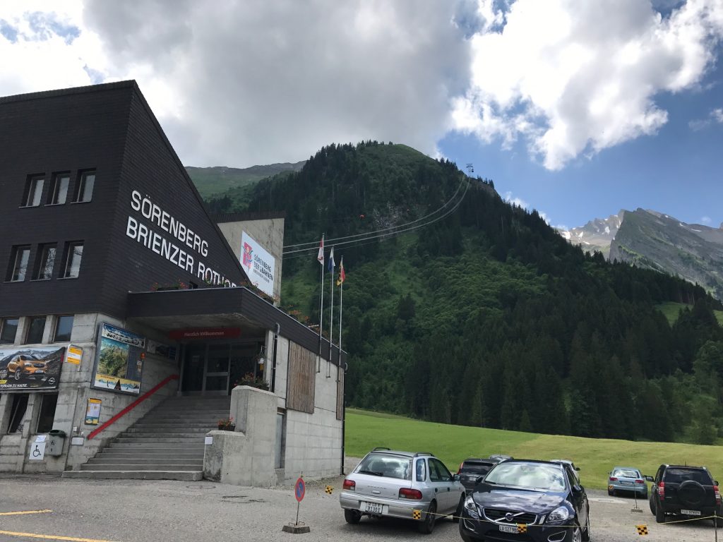
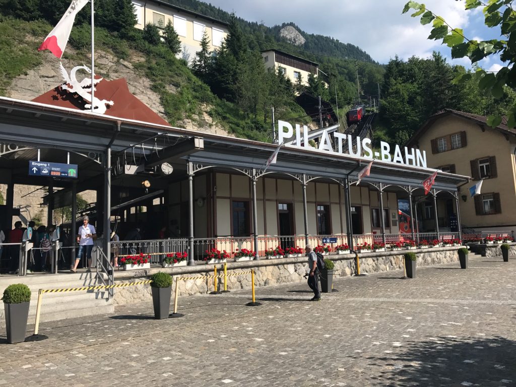
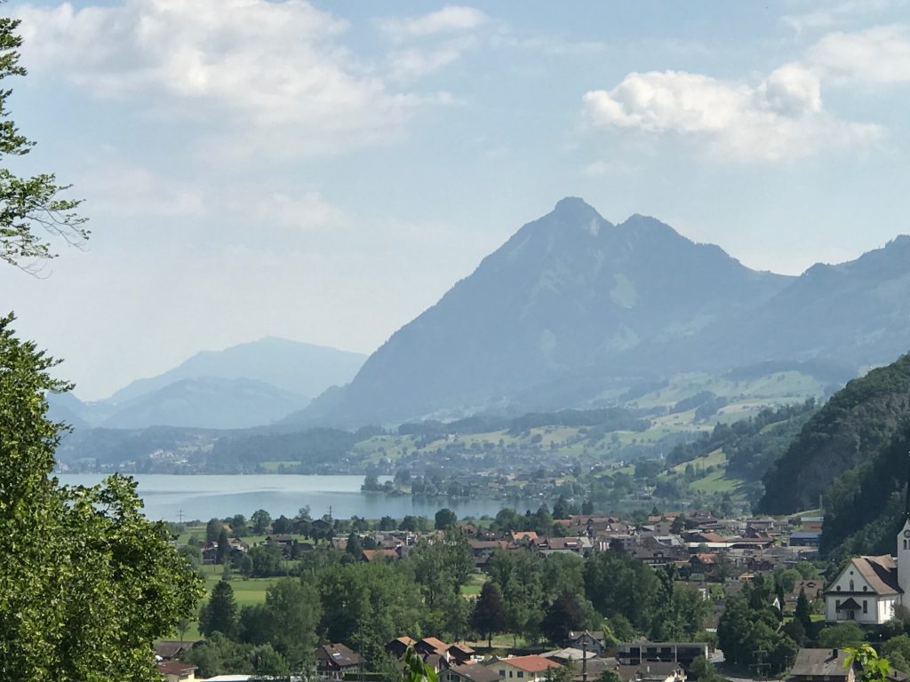
Right before Sörenberg I stopped at a cable tram. Interesting, but I didn’t know where it went. Although I would find out later.

Sörenberg, Switzerland

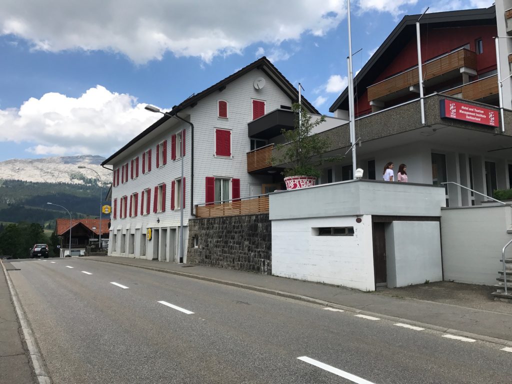
Going through Sörenberg I saw some young ladies in front of a school for Hospitality Management.

Sörenberg, Switzerland

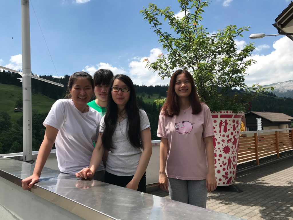
I stopped and asked if they spoke English (the sign was in English). They all did. Four young women from Vietnam. I also asked if I should go to Vietnam for bike riding and they laughed and said “Oh no.” I had read that Vietnam is a great destination for cycling this I found their response interesting.

Directions to Hotel Rischli , Sörenberg, Switzerland

I checked into the Hotel Rischli and the desk clerk offered me a discount card for the tram. As she was showing me the brochure it also included a cog railway. Then I realized this approach was the backside of the mountain that I had traveled three years ago. Had I spent my money to see the views from “up there” I certainly would have been surprised. And maybe pissed to learn I could have ridden for free.

Dinner at Hotel Rischli, Sörenberg, Switzerland

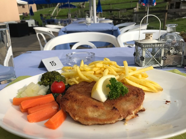
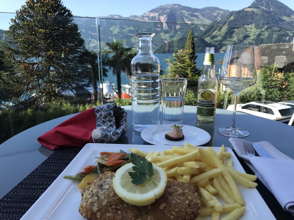
Dinner was out on the patio. I wanted to order Rösti although at the time I did not know the name. I settled for a Pork Cordon Bleu dish which is what I had yesterday in Beckenreid. It was delicious but at 35 CHF a bit pricey for this traveler.

Cyclist refilling bottle in Sarnen

What a Gorgeous Lake – and Mountain Too

BECKENRIED, SWITZERLAND

I am blown away at the view of Lake Lucerne and it’s hard to remember what an awesome day in the saddle it was. Or out of the saddle.

The start of the climb in Linthal

I began my day in Linthal. It was just 55° (13° C) at 8:00 a.m. I put on arm warmers which would last all of about half a kilometer. I was prepared for how tough a climb last night by meeting the couple from Zürich. I saw them this morning at breakfast too. “Tough,” he said.

The cobbles would last about 150 meters through the first switchback. Linthal, Switzerland

I would be climbing the Klausen Pass. I studied the route map and knew what exactly to expect. Just not cobblestones.

Snow shed

I would normally ride without stopping but I figure this will be the only time I am ever here. So I said I would stop for photos. The first was the snow shed and I also turned on my lights.

Gorgeous snow sheds or tunnels – Linthal, Switzerland

A house with a view – Linthal, Switzerland

The snow sheds had windows to the outside world and breathtaking views. However, I did not capture enough. As I climbed higher I sometimes thought there would be better vistas only to find the road went straight into the forest and I was no longer able to see the valley below.

Cows. Lots of cows. – Urnerboden, Switzerland

The climb up to the pass was 23 km. At 10 km it was a plateau (mostly), sort of like Big Meadows in Skyline Drive in Virginia. To the right, I could hear the symphony of cowbells playing in the distance. I wondered if they needed a director.

The white building to the right, ahead, is the Wilhelm Tell Hotel – Urnerboden, Switzerland

In the plateau area, a false flat mostly for about five kilometers, are free-range cattle.

Just another gorgeous view – Urnerboden, Switzerland

I would go through a small village of Urnerboden. To the right was the Hotel Wilhelm Tell. I didn’t think much of it at the time but this was said to be the birthplace of Swiss Hero William Tell. (The area, not the actual hotel.)

Urnerboden, Switzerland
The plateau area – Urnerboden, Switzerland
Bees, lots of bees. – Urnerboden, Switzerland
Looking down the road I climbed and three more motorcycles ready to pass me – Urnerboden, Switzerland

After the second section, the road kicked up again to the summit, this time about eight kilometers.

Switchbacks in the final section – Urnerboden, Switzerland

The solitude of the climb was interrupted by motorcycles passing me, one within inches. In addition were lots of sports cars, Porsche, Jaguars, even saw four Deloreans. Unfortunately, many drivers treated this road as their racecourse.

Looking back at the switchback section – Urnerboden, Switzerland

On the climb I passed two cyclists, a man and a woman, and got passed by three, two men and a woman. And 203 motorcycles.

Barry at Klausen Pass

I would characterize the climb as hard but not the hardest. Four climbs: Mount Washington; Hurricane Mountain Road (NH); San Pellegrino (Italy); and maybe Henrietta Road (PA), all brought me to my knees making me think I should quit. This ride never did it. It was just a slog, a 2.5-hour slog to be sure, but I knew I would make it.

At the top – Unterschächen, Switzerland

With the hard part over and drenched in sweat, it was time for the easy part of the day. The descent.

On Klausen Pass – Unterschächen, Switzerland

I thought I might bomb the descent but instead took it easy. The words of Wayne Stetina resonated with me when he told me four years ago that he never bombs a descent he hadn’t seen before. I decided I would take it easy.

Descent off Klausen Pass – Unterschächen, Switzerland

I stopped frequently for the views. In addition, the road was too beat up and too windy to let the bike roll.

It’s pretty far down there – Unterschächen, Switzerland
I held the camera and said “Cheese,” a universal word. – Unterschächen, Switzerland
Altdorf, Switzerland

I descended into Altdorf, a beautiful town. And then I saw it. Lake Lucerne.

Lake Lucerne – Flüelen, Switzerland

Leaving town I found the bike path to avoid riding with the cars in the tunnels, of which there were five or six.

Lake Lucerne – Flüelen, Switzerland

The bike lanes in Altdorf were well marked. Once I was in a dedicated lane sometimes it was bike-only and sometimes it was for bikes and pedestrians.

Lake Lucerne – Flüelen, Switzerland

In the tunnels, often the bike lane would go in with the cars and the pedestrian path would be on the outside of the tunnel, high above the lake. Sometimes the bike lane would be outside as well. Simply gorgeous.

Lake Lucerne

The one thing to watch out for is bike paths could become sidewalks without notice. And there are penalties (fines) for riding on the sidewalks.

Klewenalp, Beckenreid, Switzerland

As the road got closer to Brunnen it was harder to determine where the bike lane was. But I managed to find my way, at times following two locals (I presume they were local).

Lake Lucerne – Sisikon, Switzerland
Lake Lucerne – Brunnen, Switzerland
Brunnen, Switzerland
The signs in Brunnen, Switzerland
FCB – Brunnen, Switzerland

I came to a small stadium for FCB (Footballclub Brunnen). Either it was too late in the match to collect admission or the game was free but it was free for me. I wanted to see the referees of which there was one. Two thoughts: I was surprised they were using just one referee and my refs in Woodbridge are better.

Ferry at Gersau, Switzerland

The rest of the ride was lakeside to the ferry at Gersau. What a beautiful road.

Ferry at Gersau, Switzerland

Onboard I saw a cyclist. Everything about her could have been American. She was on a Cervélo bike (which is Canadian and more likely in the U.S. than Europe), wore a Specialized kit (based in California), rode Speedplay cleats and had a Garmin 500 GPS. But she was a local who ride halfway around the lake (60 km) then took the ferry back.

Barry on Lake Luzerne

Disembarking at Beckenreid, I saw the hotel and rode right past it, looking for the Klewenalp. This where Ashley and I went with Ben Z. seven years ago.

Ferry from Gersau to Beckenreid – It was so enjoyable riding along the lake in Beckenreid.
Lake Lucerne

I found it, then bought some ice cream and watched the paddle steamer. We rode that boat in 2010.

View from my hotel room – Beckenreid, Switzerland

Only then did I check into the hotel. I was told when my luggage was dropped off the guy wondered if I beat him. He said I always do. I didn’t know it was a race. But actually I arrived an hour earlier and had spent the time riding around. Tomorrow he doesn’t stand a chance.

A room with a view! – Beckenreid, Switzerland

The hotel was Hotel Seerausch. Simply gorgeous.

Beckenreid, Switzerland

It was a warm (hot) day. The hotel had their own private beach access to the lake. I went down and dove in. It. Was. Cold! I forgot I was swimming in glacier water. I did not stay in the water more than 10 minutes.

Dinner at the hotel

In addition to first class accommodations, the staff here was the best I found in Switzerland. There’s not too many places I would say I must return to but I would love to return here.


Verified by MonsterInsights