Beautiful Bike Paths

LINTHAL, SWITZERLAND

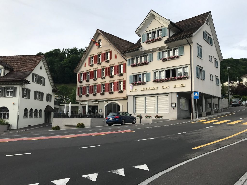
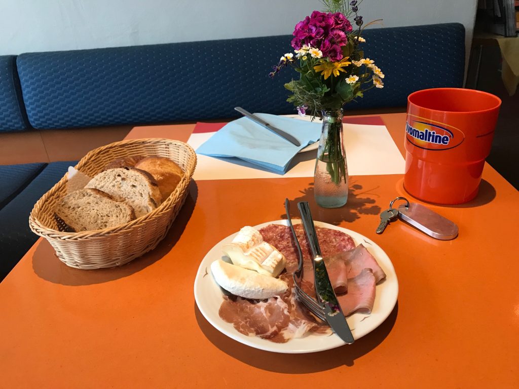
Breakfast this morning was at Hotel Cafe Huber in Lichtensteig. As I finished the owner came went to the bakery and gave me some bread to take with me. That was very nice.

Breakfast at Cafe Hotel Huber. Orange juice and sparking water would be added.

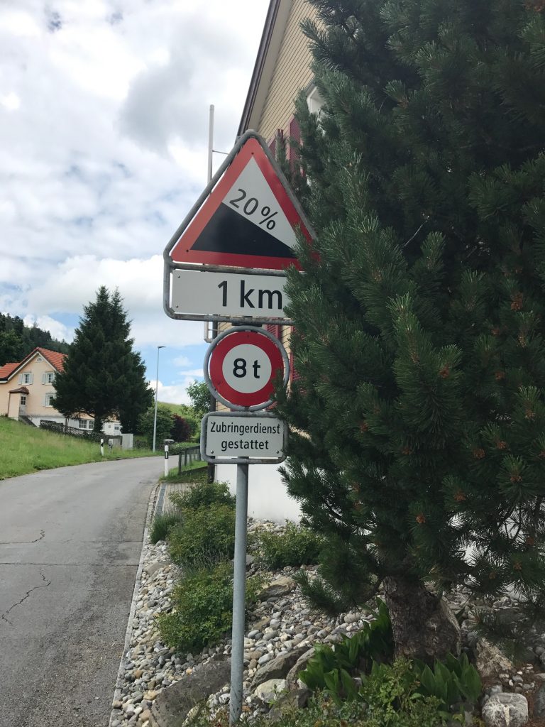
There would be two issues to deal with today. I never get saddle sores but developed those yesterday. Although better, they would stay with me today. And second, those signs…

Lichtensteig

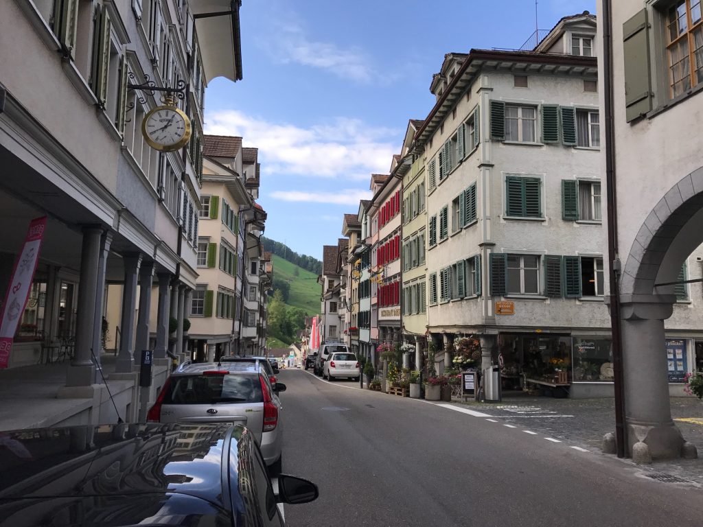
Or more accurately, lack of signs. On a cool morning, I rode downhill to Wattwil. That was my reward for riding uphill to Lichtensteig yesterday.

A view from Wattwil

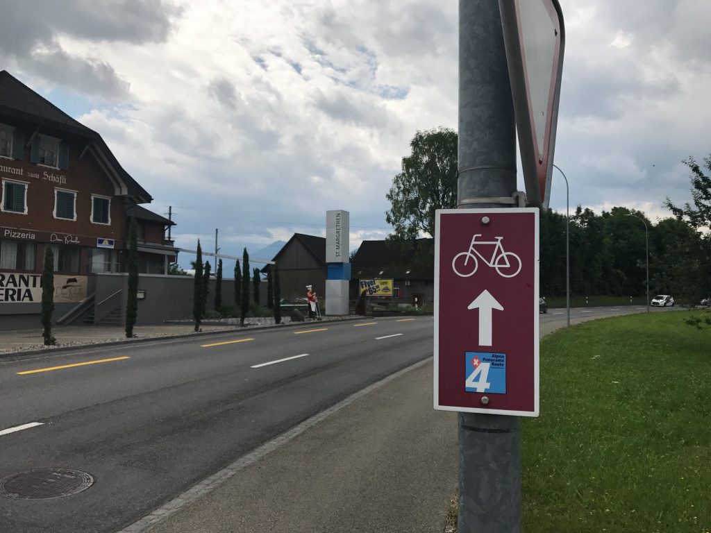
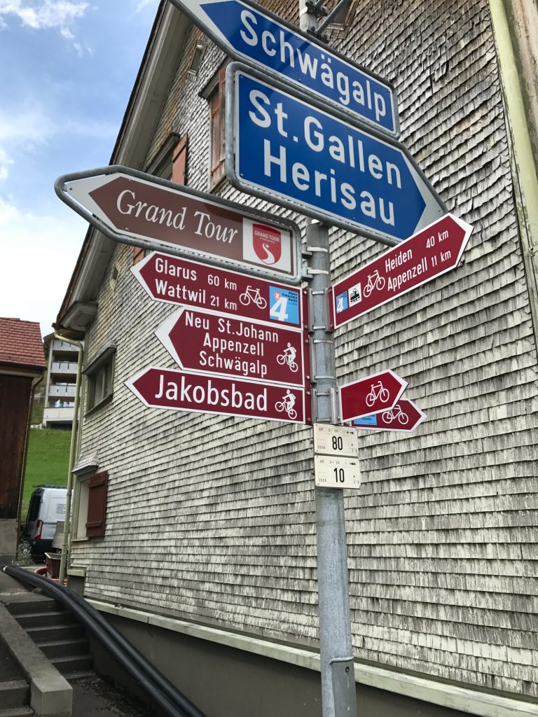
When I came to the town I turned on the main street to follow Bike Route 4. I also had uploaded the route to Garmin. I had gone no farther than one kilometer when Garmin told me I was off course.

Bike Route 4 – to Zürich? (Wattwil, Switzerland)

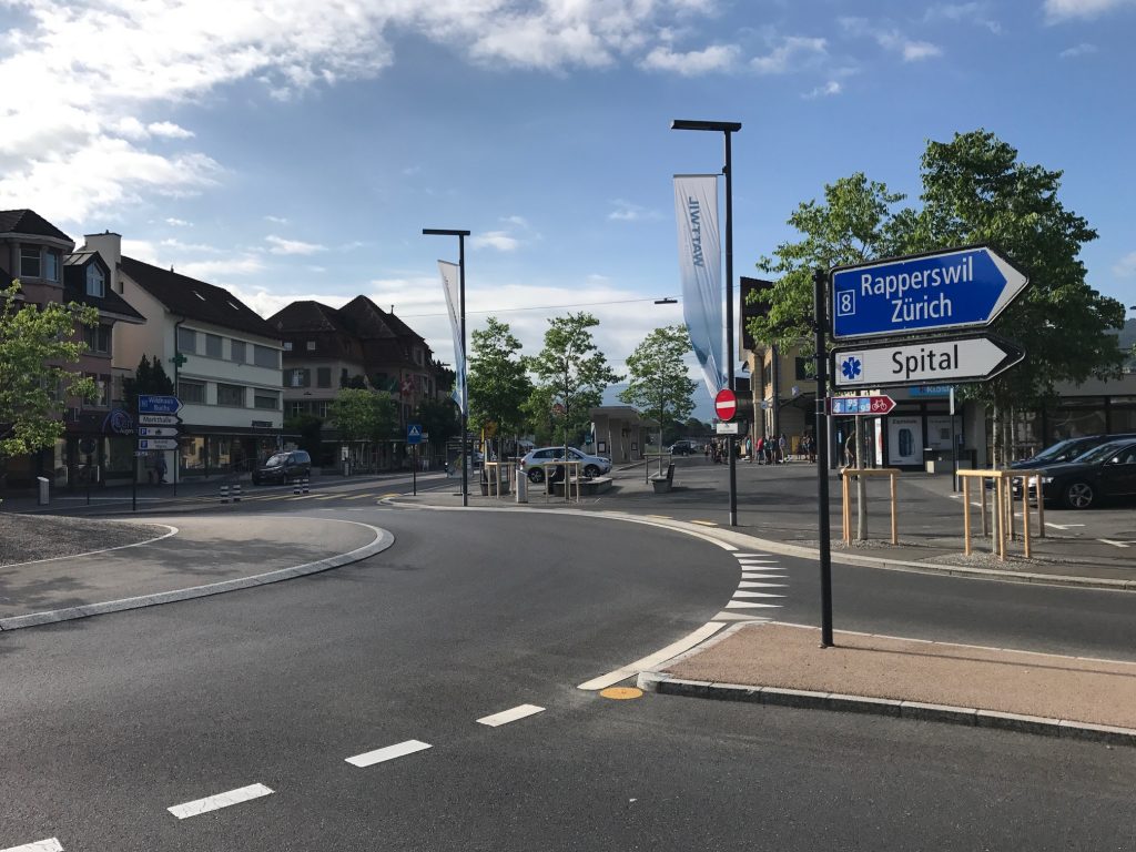
I turned around and went back into town. I went another way when I saw the blue Route 4 sign. I lost that trail too. I turned around.

The start of the day’s climb. It’s steeper than it looks. Wattwil, Switzerland

I decided to follow my Garmin no matter what. Leaving town I turned on a road that was not marked with a sign. About one kilometer later, I had to turn and there was the sign. I was on the right route after all.

A cyclist farther up the hill. I would catch him. Wattwil, Switzerland

Two or three or 10 times during today’s ride I chose to follow Garmin where there was no sign. Eventually, I would be proven right. In contrast to yesterday, I did not ask anyone for directions today.

Hey look! Frisbee game ahead. Wattwil, Switzerland.

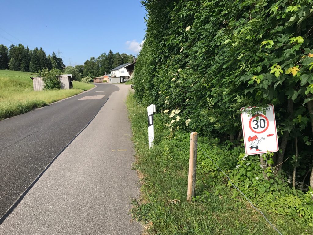
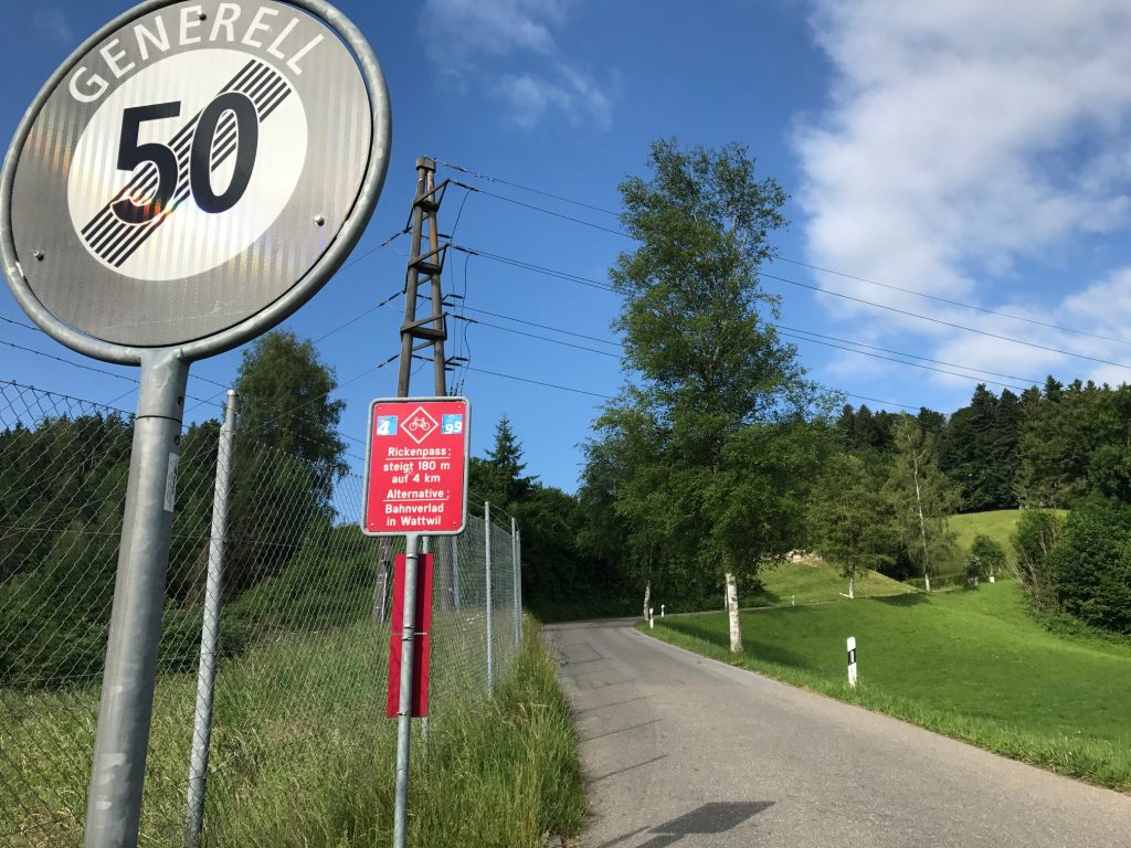
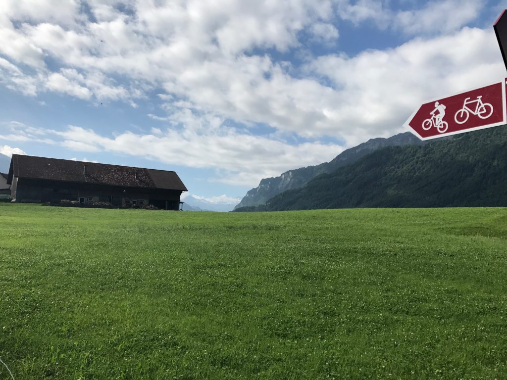
I had already decided that it would be next to impossible to follow this route solely by depending on the signs. They simply are not everywhere they need to be. I would not say the route is well marked but “pretty well” marked. Maybe best in the world but could be better.

Kaltbrunn, Switzerland

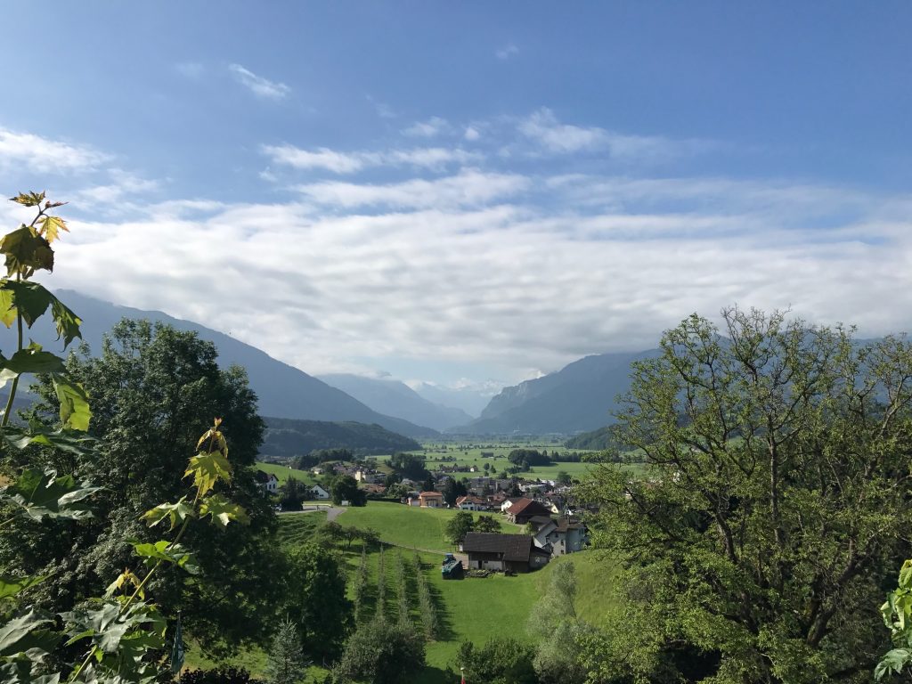
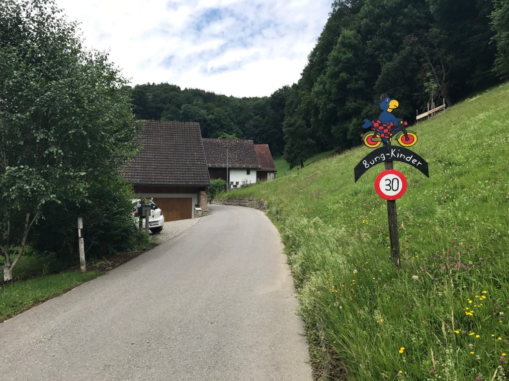
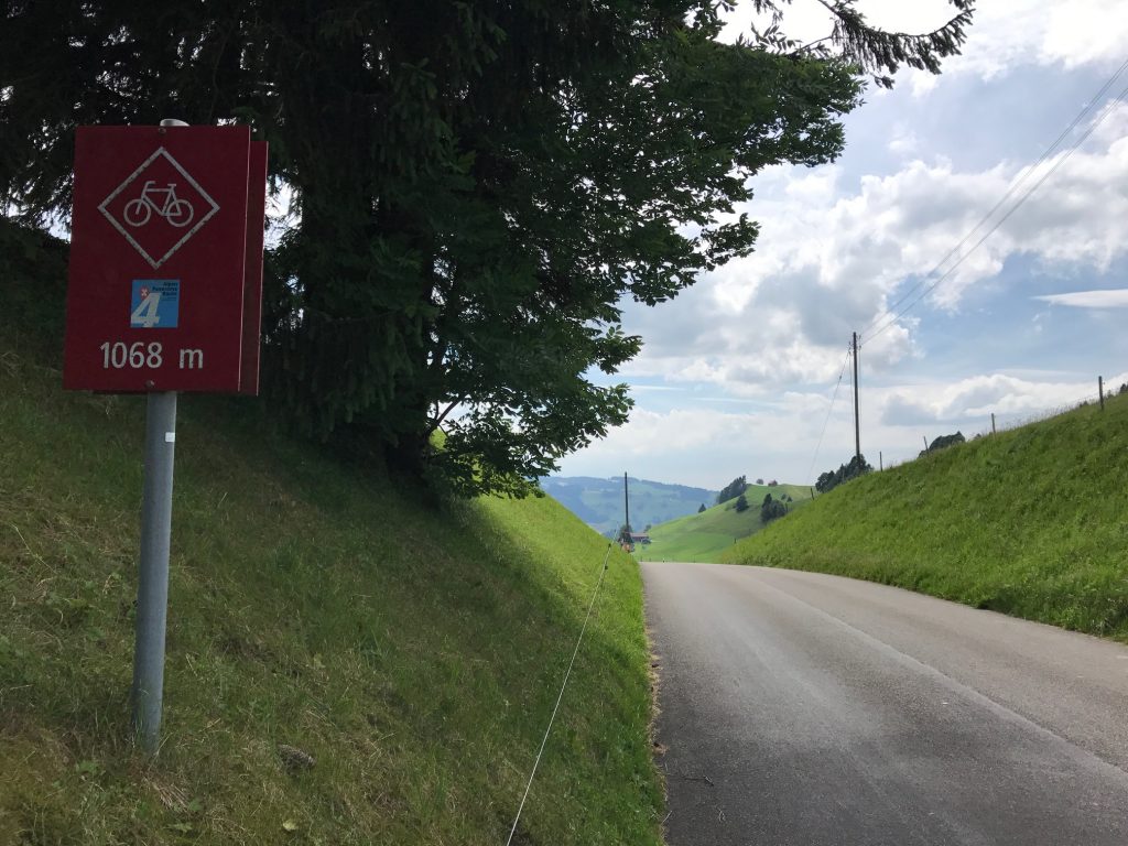
I had studied my route today and knew leaving town I would have a climb. Not too tough (compared to yesterday) and then a descent. The map showed flat or a slight climb the rest of the way. And that played out as expected.

Ricken, Switzerland

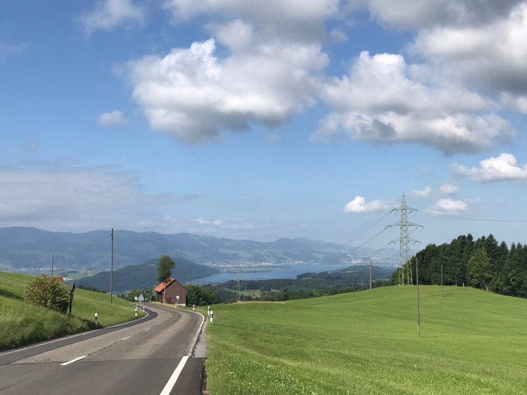
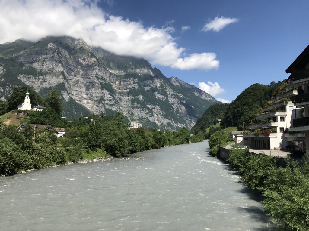
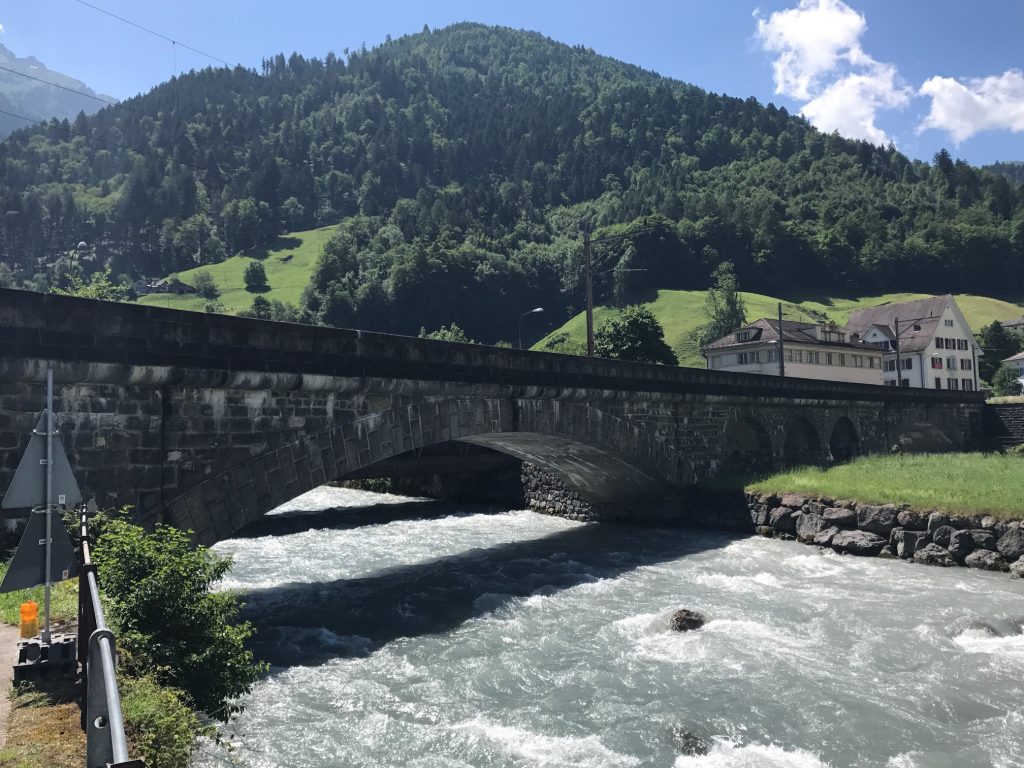
The descent offered gorgeous views of Lake Zürich (or perhaps that is Obersee, the “Upper Lake” portion of Lake Zürich) in the distance and the mountains ahead.

Flat farm roads ahead. With nice views. Benken, St. Gallen, Switzerland

At the bottom of the hill, I lost the signs and went with Garmin. I turned on a narrow road that was flat and straight. It was the right direction.

Schänis, Switzerland

I was just 25 km in (15.5 miles) and the rest of the day would be flat to trending upward. I would also be on these narrow roads with no traffic although occasionally riding back on a highway.

Where one of the Rte 4 signs leads. This river comes from Lake Walen. Bilten, Switzerland

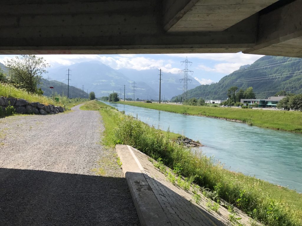
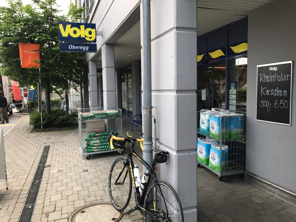
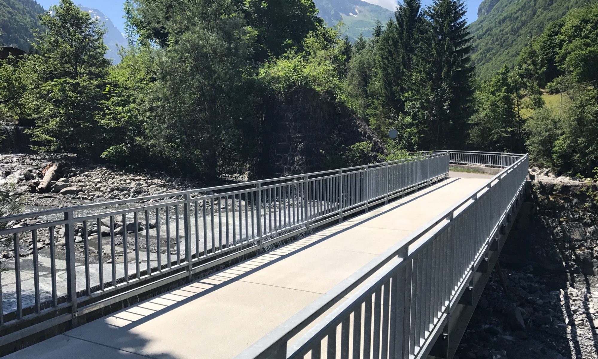
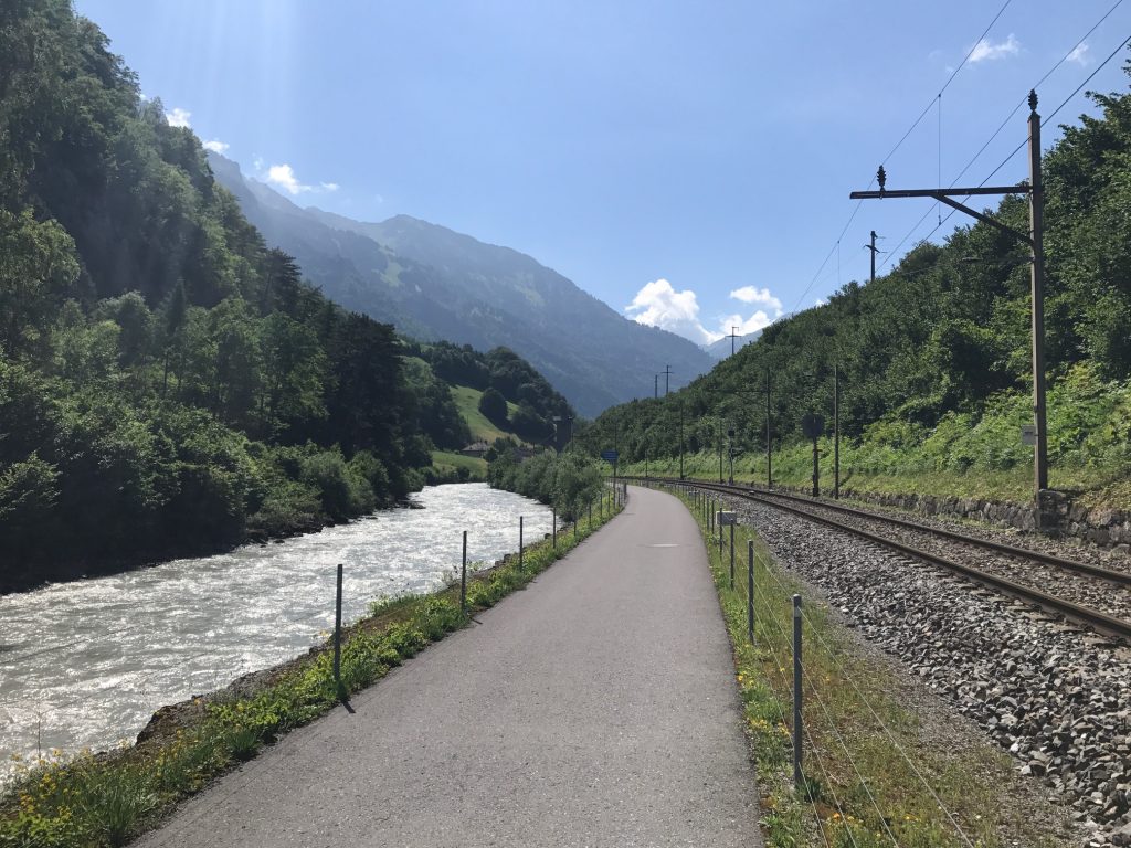
I came to one turn for Route 4 and it went down to the river and followed a gravel road.  I stopped for a snack from my pocket then waited at the top to see if any road cyclists were on this path. One coming in my direction looked at it and exclaimed in German “they must be crazy if they think I’m riding on that crap.”* He then headed straight and I decided to follow him.

Näfels, Switzerland

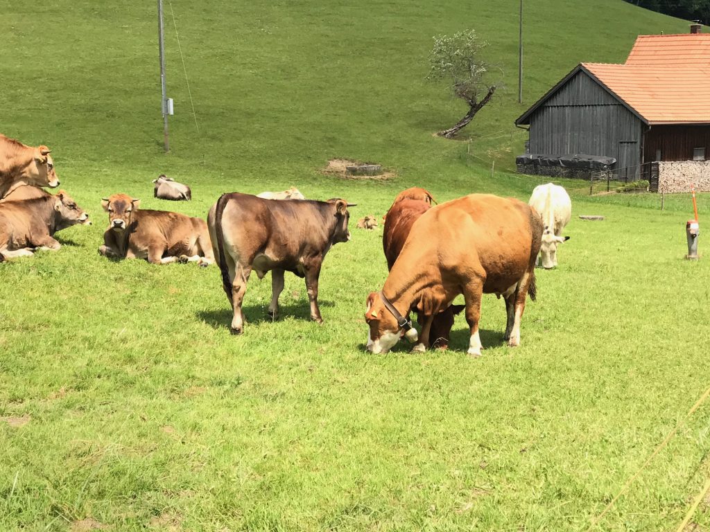
Along open road were just cyclists and walkers. I didn’t see any runners. And horses.

Näfels, Switzerland

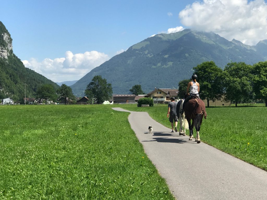
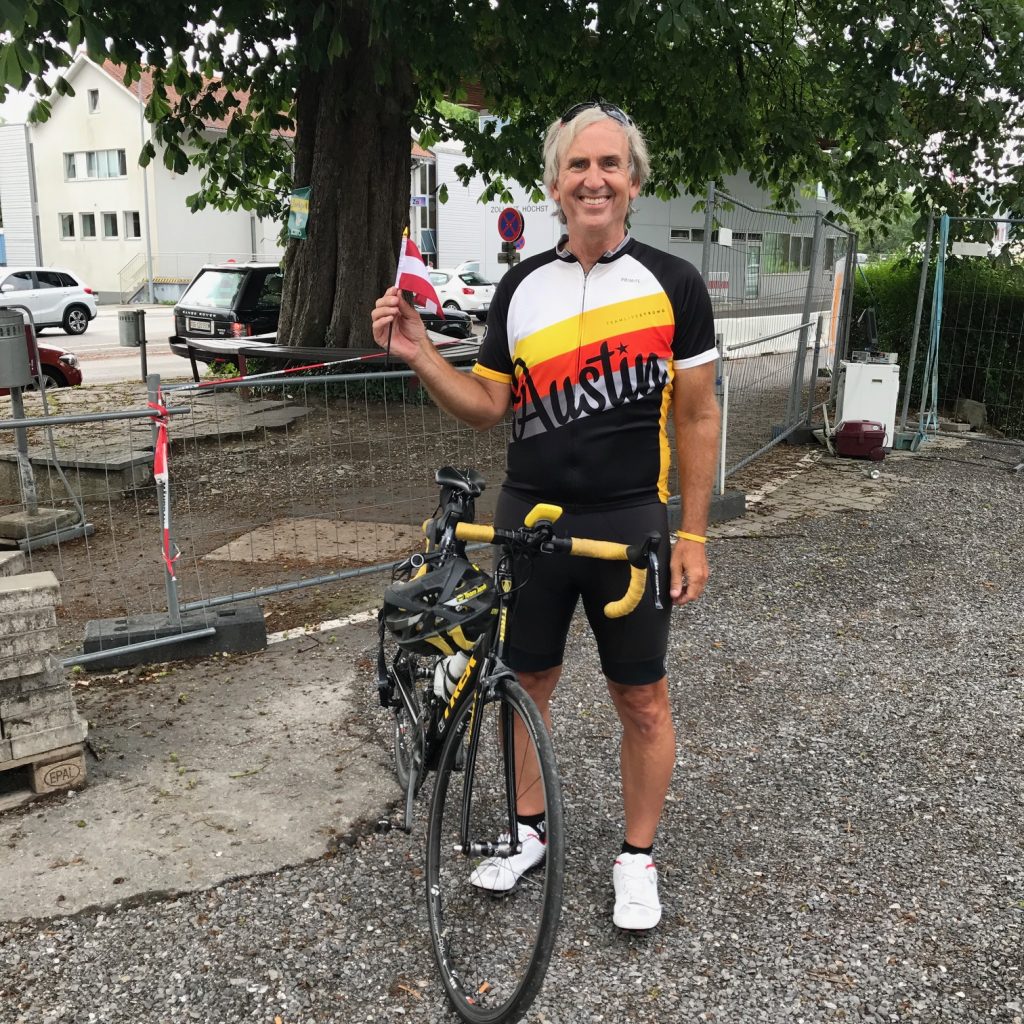
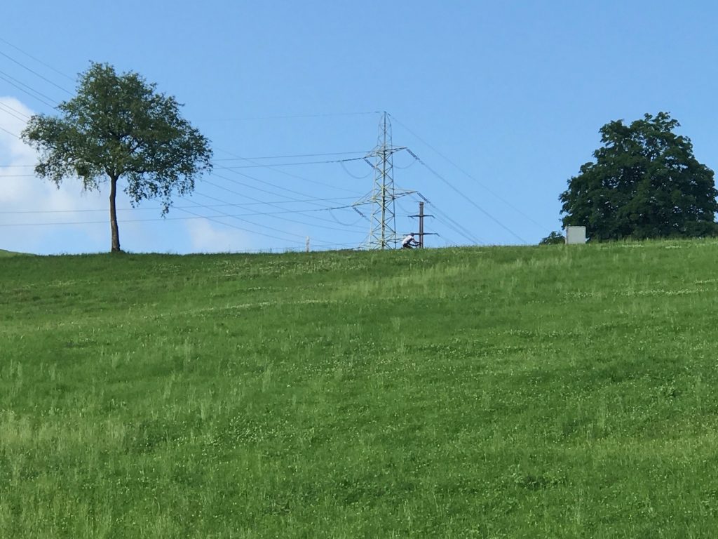
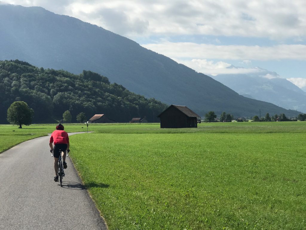
I saw a young man, Marcel, and stopped and asked if he would be my photographer. I wanted a picture of me on my bike with the mountains in the background. He agreed.

Mugging for the camera with a Swiss flag. Näfels, Switzerland. Those are the Alps, not the Rockies.

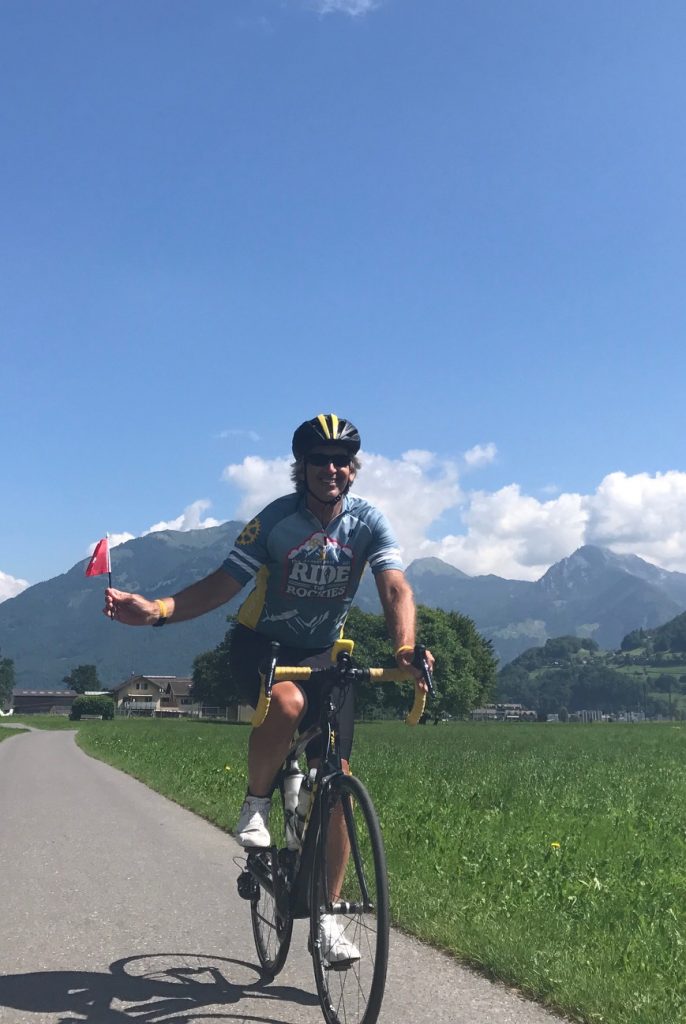
Marcel and I had a nice conversation of at least 10 minutes, maybe 15, standing alongside this wonderful path. Well down, my friend!

Marcel the Photographer
Marcel – Näfels, Switzerland

I really can’t offer much more. The route signs were pretty good but not perfect. But the weather was perfect.

Netsal, Switzerland

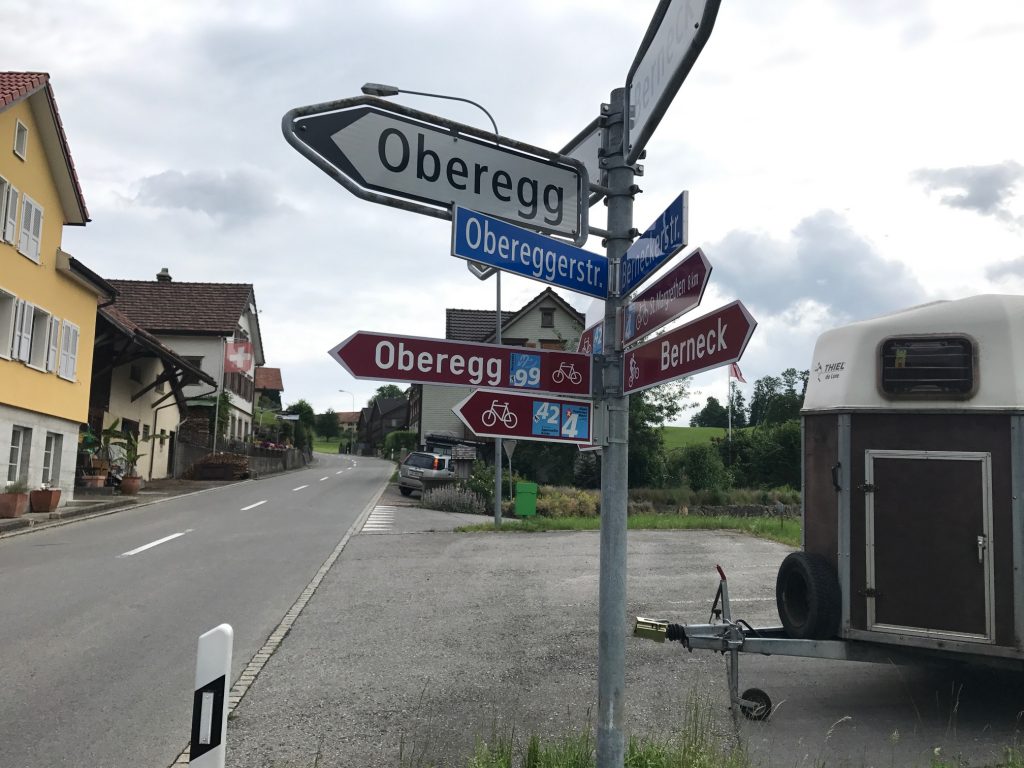
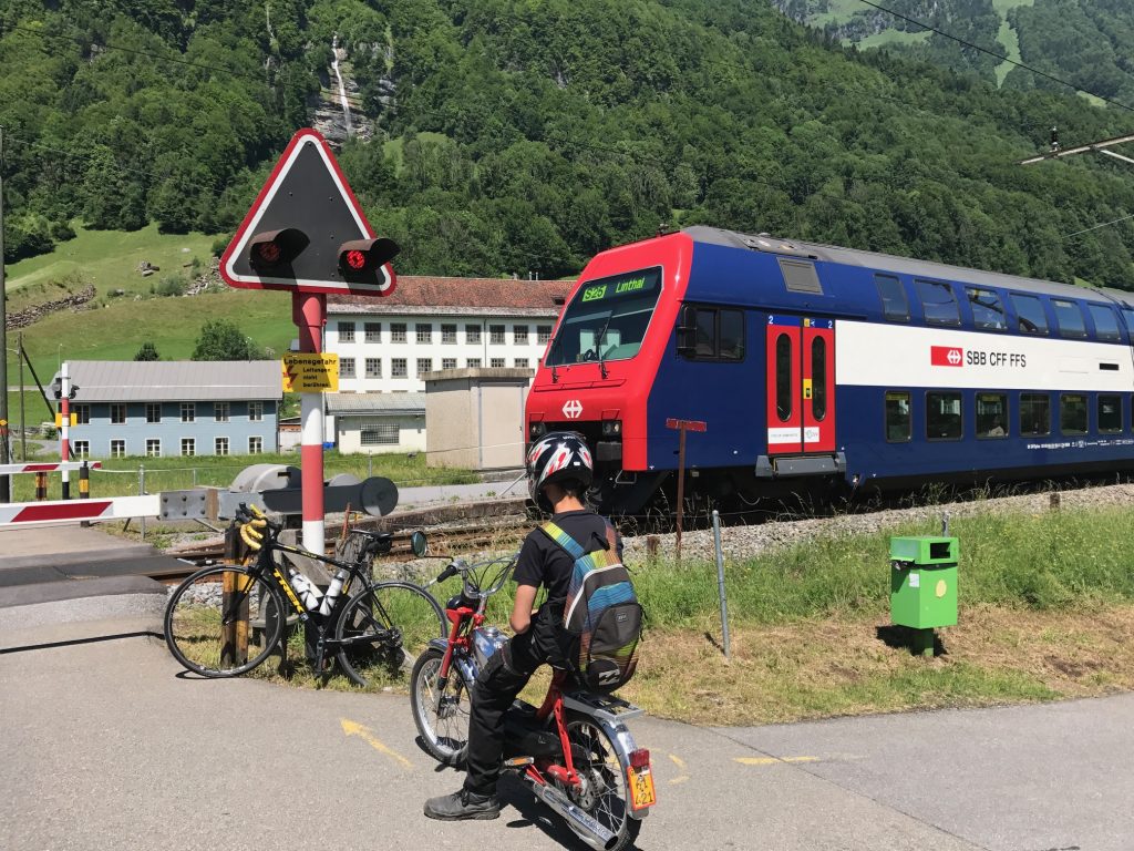
At Glarus Süd there was a festival in progress. The bike route was blocked with signage to take a different route to Linthal.

Ennenda, Switzerland

I figured if the route to Linthal was marked, why not take it, but another couple came by and went passed the closure. So I followed them.

Festival in Glarus Süd, Switzerland

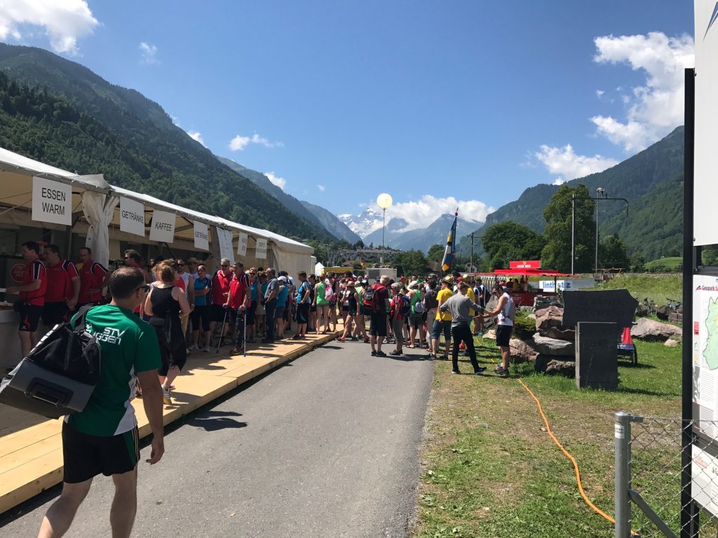
I was glad because I don’t know if I would have known how to get back on Bike Route 4 and it was a great alternative.

Glarus Süd, Switzerland

As I made my way through the people, one woman said “Nice velo.” I liked that!

Leuggelbach, Switzerland

I found myself pedaling slower than normal, a little in part due to saddle sores but mostly because my eyes were constantly scanning the scenery. No need to race this route and fly by. And it was a short day.

Hotel Bahnoff, Linthal

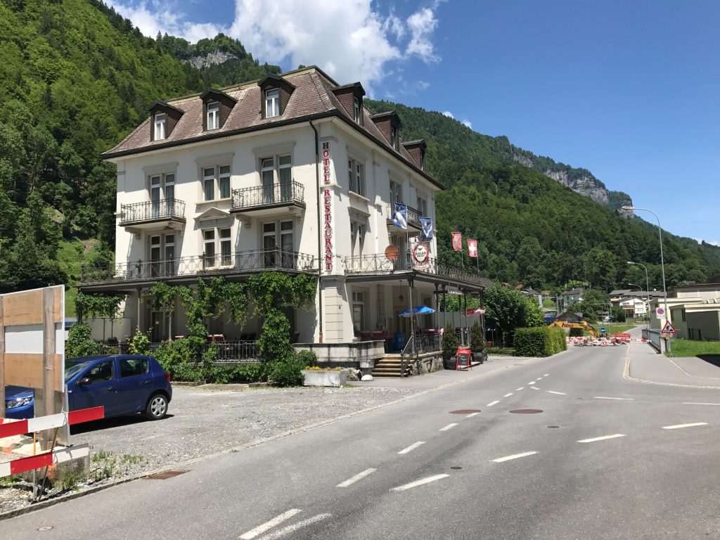
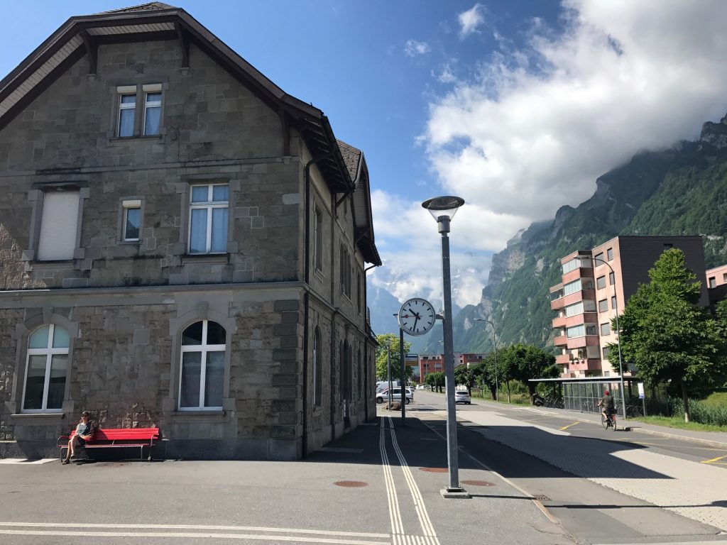
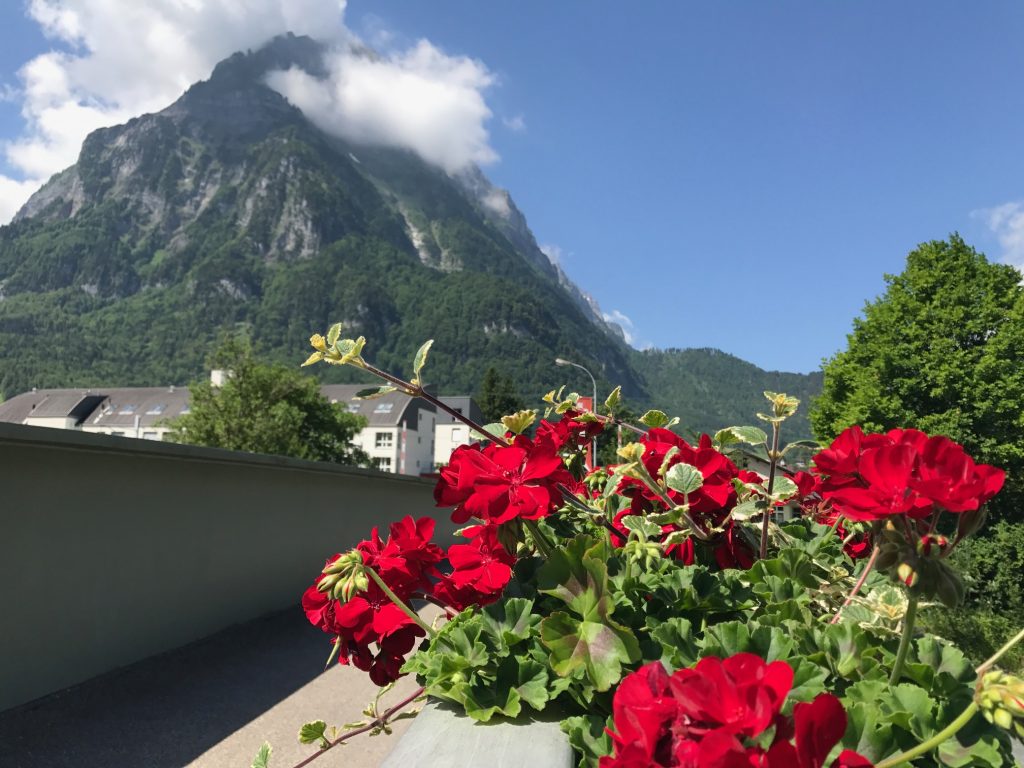
My hotel in Linthal is Hotel Bahnoff. It has a much larger room than the Hotel Huber and the Wifi is pretty good. Time to catch up and study tomorrow’s route as well.

Linthal, Switzerland

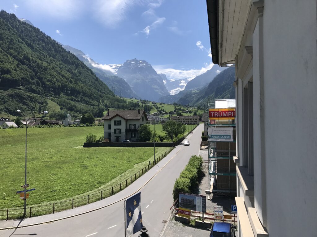
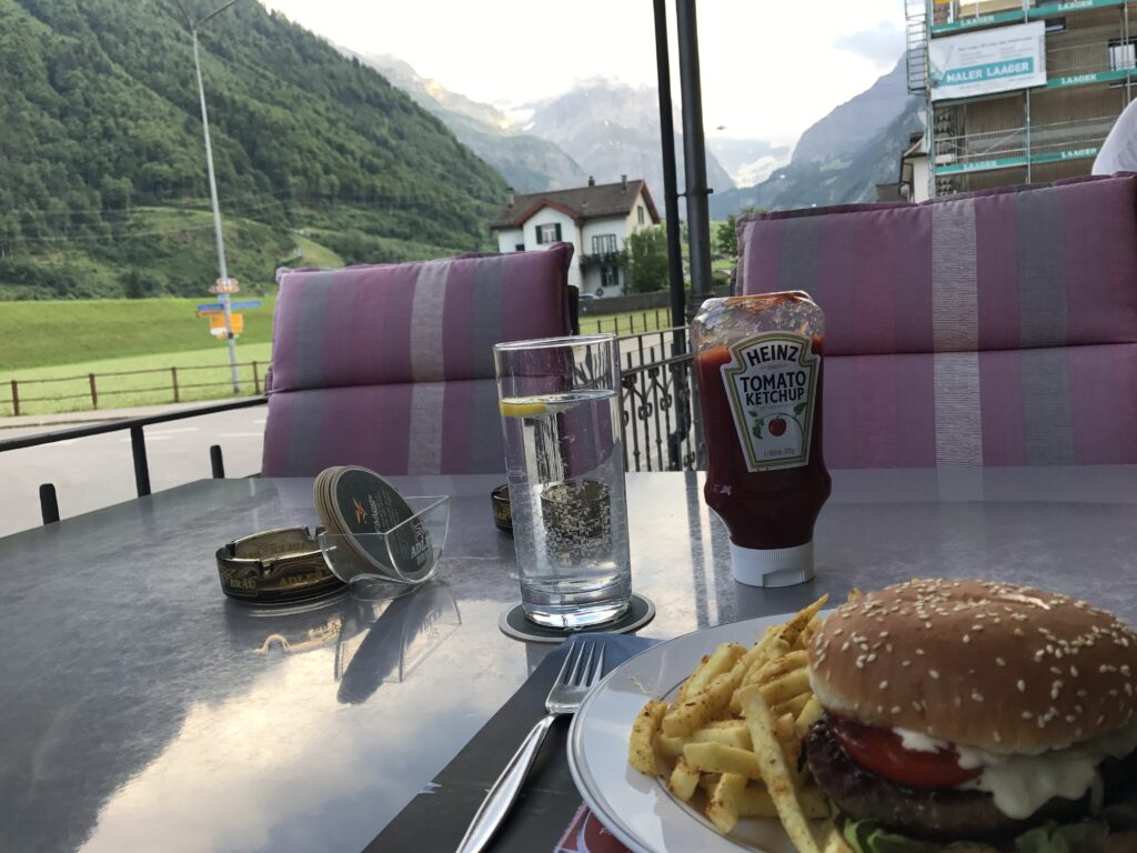
POSTSCRIPT:  At dinner I sat out on the patio at the hotel. One table over came a Swiss couple who had just hiked whatever pass I am climbing tomorrow. They are from Zürich. We had nice conversation all evening during dinner.

Dinner at the Hotel, Linthal, Switzerland

___
*Ha! I have no idea what he said but that was certainly the gist of it. Seriously.

Ennenda, Switzerland

Lost Among All the Signs

LICHTENSTEIG, SWITZERLAND

Today was the start of my Panoramic Alpine adventure. My friend, with whom I was staying, got up earlier than normal and took the tram to the train station in Zürich with my suitcase while I biked there. I beat her.

Train to St. Margrethen

After I boarded the train I thought I saw no identifying marks on the train and wasn’t 100% sure if I was on the right one. I thought I had remembered boarding on Platform 8 and we went with that. I wonder how many people board the wrong trains and don’t discover it until they are underway?

The Austrian side of the River Rhine

I arrived St. Margrethen then found one guy working behind the counter. I explained that I needed to leave my luggage at the luggage counter. At first, he didn’t understand but then took the bag to his backroom. I wondered all day if it would be delivered to my hotel.

Well hello Austria!

Jumping on my bike I went exploring for a gateway to Austria. The one I had mapped out I didn’t find but found another. After asking two policemen if it was safe for bikes, they showed me a bike path on the bridge and I quickly crossed the River Rhine. The river was much smaller and narrower than I anticipated.

The first Bike 4 sign I found

I found a willing participant to take my photo with an Austrian flag, then gave her the flag for her son. I then crossed back into Switzerland to begin my journey. Time spent in Austria: 15 minutes.

Bike shop in St. Margrethen

There was but one problem. And I hoped that it would not be a huge problem. Actually it wasn’t huge other than causing me a lot of angst. A lot.

On the first climb

I mapped out the ride on Ride With GPS but forgot to upload it to my Garmin. Stupid me. I planned to rely on Garmin today for directions. The hardcopy maps that Eurotrek provided me were in my checked luggage. At the train station. I would have to follow the Bike Route 4 signs.

Panoramic Alpine Route 4 is a road bicycle route that is marked across Switzerland. My tour papers said it is well marked. I say that it is not.

Street sign in Oberegg. I did not get to descend this one.

I found the first sign for Rte 4, followed it, then quickly lost it. In St. Margrethen. I came to an intersection and there was no sign which way to turn. I turned right. I did a loop.

Stopped for water and thought I’d try this blue Fanta even though I don’t drink soda. I still don’t know what that was.

I saw a bike shop that were authorized dealers for Trek. I didn’t see any Treks inside. I asked them where to pick up the route (1). They sent me back on the loop I just did. They did not seem real interested that I stopped in.

Oberegg

I came back to the same spot. This time I went straight. Eventually I saw another sign. I was on the right road after all.

Water stop in Oberegg

Leaving St. Margrethen I turned onto a side street, if a mountain road with switchbacks is a side street. For the next seven miles I would be climbing while profusely dripping with sweat. Much of the climb seemed to be 10-12%. I won’t say I wasn’t prepared, I will just say I wasn’t expecting that. OK, I wasn’t prepared.

Cows playing bells

Climbing through heavy forest I welcomed the sound of cow bells. Lots of them. I didn’t welcome the smell of cow manure. Lots of it. But I guess that comes with cow bells.

I kept my eyes peeled throughout the ride for more signs. Mostly they were there but sometimes they were not or perhaps perfectly hidden. In one small town I completely “lost the scent” and asked a young man on a bike (2).

He knew nothing about Rte 4 but suggested I go back to the traffic circle and this time go straight. I came to a T and there were the signs. He also told me I may have to “Ask (my way) Across Switzerland.”

Trogen

Actually, absent any signs one would assume to go straight so that one wasn’t a problem. It’s where there were turns but no signs.

Maybe an ancestral home for me?

In Appenzell I last saw signs right before I reached the town but at the traffic circle there was nothing. So I went straight. I only went a few blocks and ran into two cyclists, apparently local, who knew nothing about this bike route (3).

Teufen

I went back to traffic circle and saw nothing. But I did see a police sign so I went to the police station and asked them (4). They knew nothing about the route but they knew Google maps. They printed out a map for me. But I still didn’t know how to get out of town.

Appenzell

I saw a bike shop and stopped (5). The owner vacations in Fort Lauderdale and was very gracious. He filled my water bottles and told me how to get to next town. I followed his directions – 1km and turn left – and those worked.

Bike shop in Appenzell

As we talked he told me I would turn left then go up this “little hill.” It was a mountain! Actually, looking at it now that I did it, it was only a mile. A little hill.

Appenzell

But going off course in Appenzell actually worked out. I saw some neat shit I wouldn’t have otherwise. The town center is pretty. Horses came by and one dropped a load. One of the staff grabbed a shovel and bucket and cleaned it up in less than one minute than ran and jumped back on the wagon.

I went seven miles to the next town, Urnäsch and came to a T. There was the Rte 4 sign and I had been on it the entire time. Not only didn’t I know it but I figured my bike friend just got me headed for Wattwill the best way he knew how.

Urnäsch. I was on the right road the entire time.

Maybe with so many miles in my legs made the last section seem the toughest. Near Hemberg I had been descending when I turned and started down another descent. I didn’t know this one would bottom out and throw another nasty ascent of a mountain at me. I had had enough.

I guess this was the high elevation for the day. It was the only marker I saw about altitude.

On my scale of 1-10 for difficulty, a 10 is can’t or won’t do it. A 9 is have to stop but will carry on. An 8 is lots of swearing at the mountain. Today was an 8. A solid 8.

I got to Wattwill where I had to ask two more people directions (6,7). They were in front of a post office soliciting people about swimming pools. That’s not happening in front of a USPS office.

My hotel in Lichtensteig, Switzerland

They were both early 20s so I figured, correctly, their English would be superb. And it was. They directed me the last four miles (although they teased me with 4km) but I checked into the Hotel Huber. No A/C (still waiting for mountain air to cool down – it will) and WiFi only worked if I left my bedroom door open. But the bed is comfortable and that is what I needed most. And my luggage did arrive.

L’Angolino Pizzeria, Lichtensteig, Swizterland

In the end, it was a pretty hard day. It was made even worse by not having directions or a map with me. I ended up asking seven people in my Ask Across Switzerland tour. Dinner was at the L’Angolino Pizzeria and then off to bed – with the door open for Wifi and air circulation.


Verified by MonsterInsights