Father Time is Undefeated

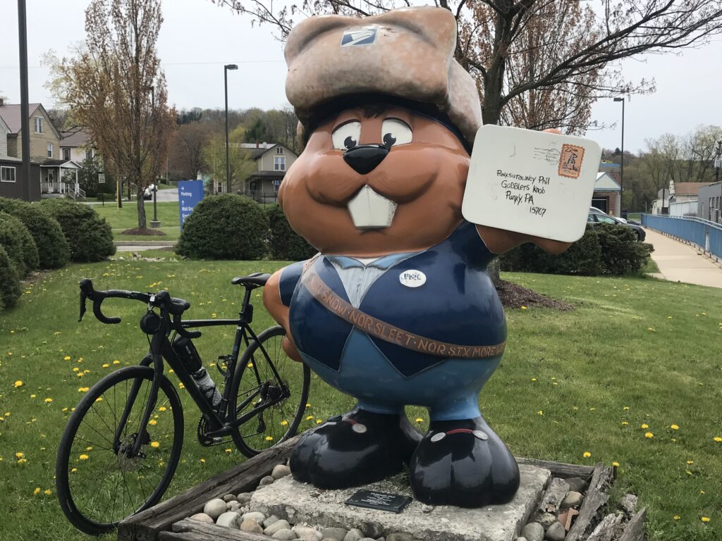
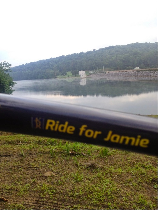
ROSSITER, PENNSYLVANIA

Father Time is Undefeated. I hear that more than I need to but perhaps mostly from Ron Cook on KDKA-The Fan. While accepting that premise I also want to believe I can delay ‘ole Father Time.

I seem to be measuring my rides on average speed. Throughout much of 2021, my rides have mirrored what I did 10-11 years ago (which is basically when I really started tracking such things using GPS). And then there is this ride, Somerset to Punxsutawney. I averaged 16 mph in 2010 and have never gotten back to it. Is Father Time winning?

Parking at Team Kia, Geistown

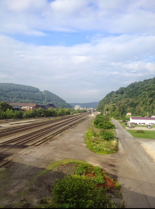
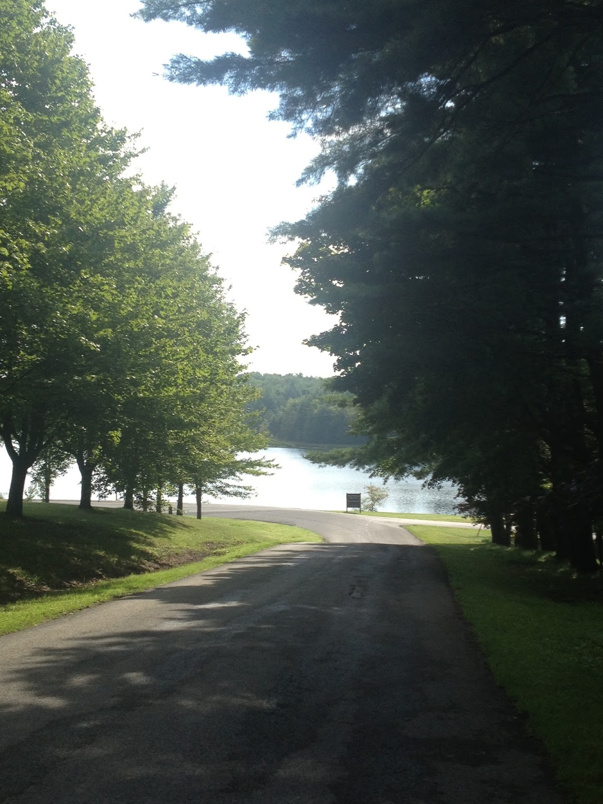
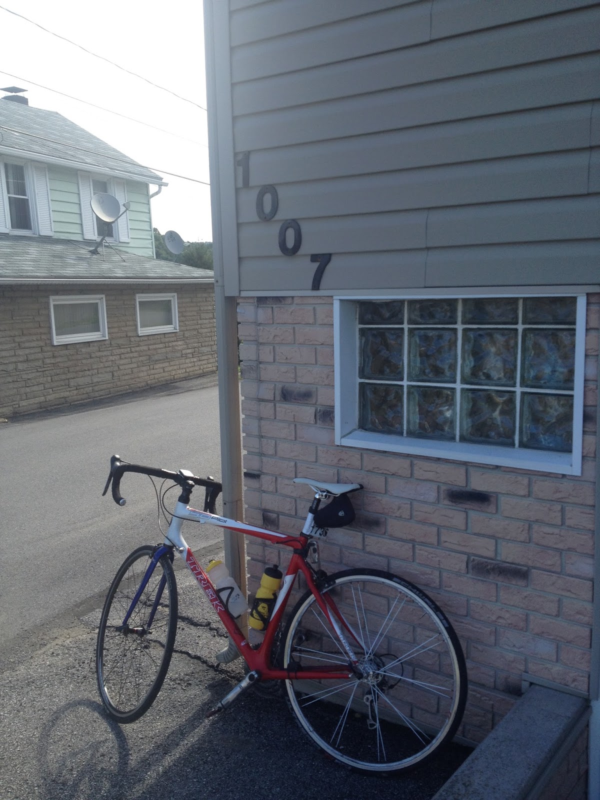
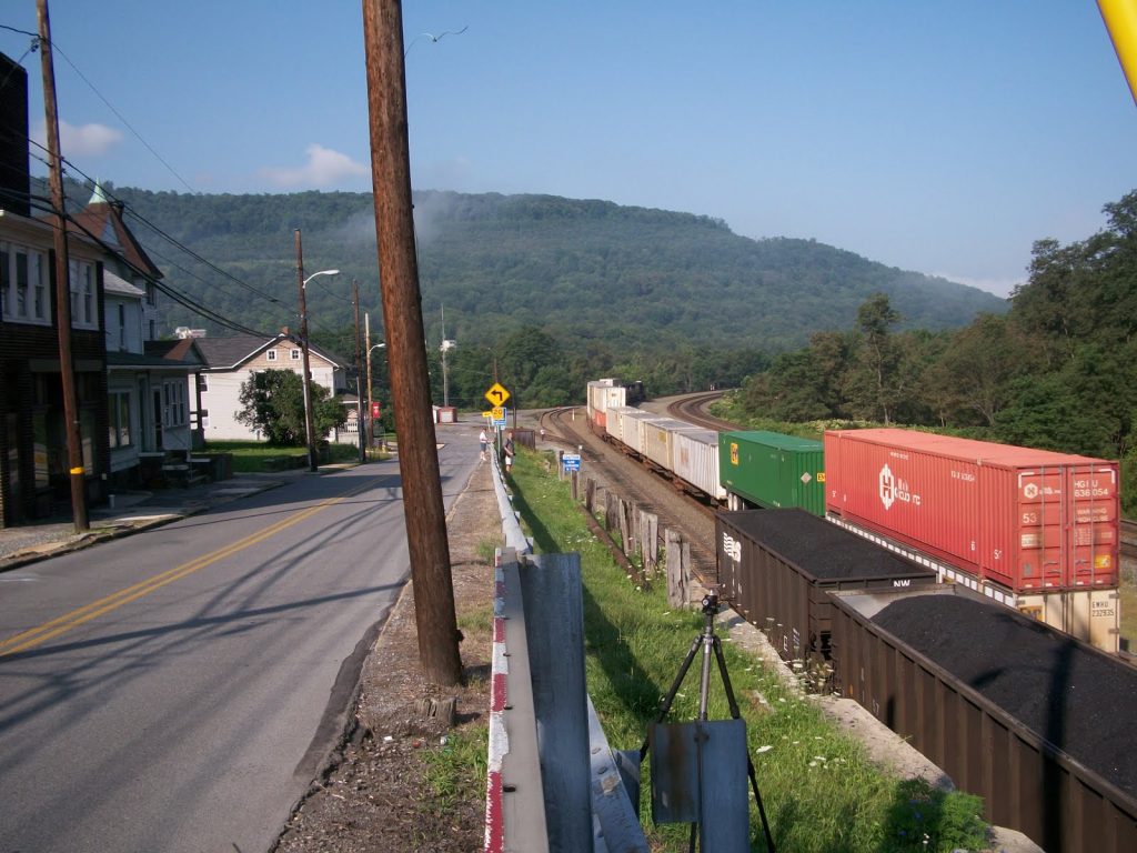
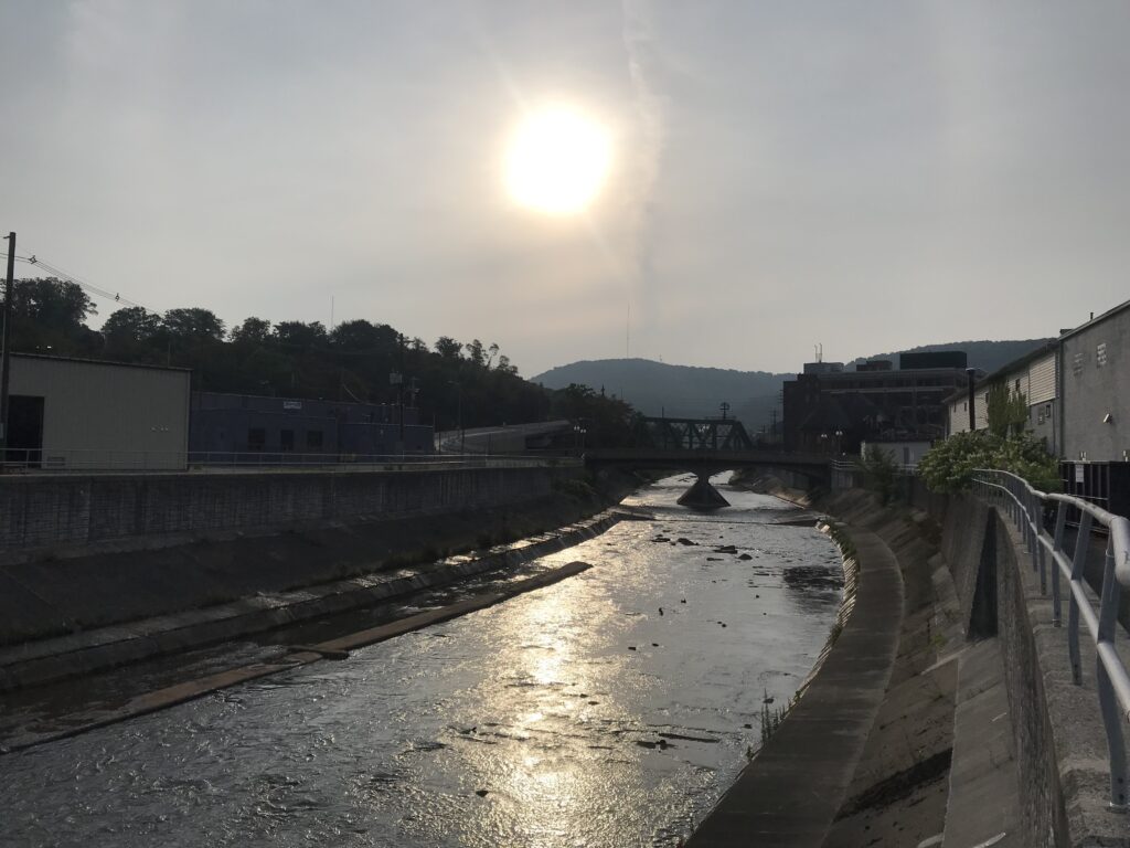
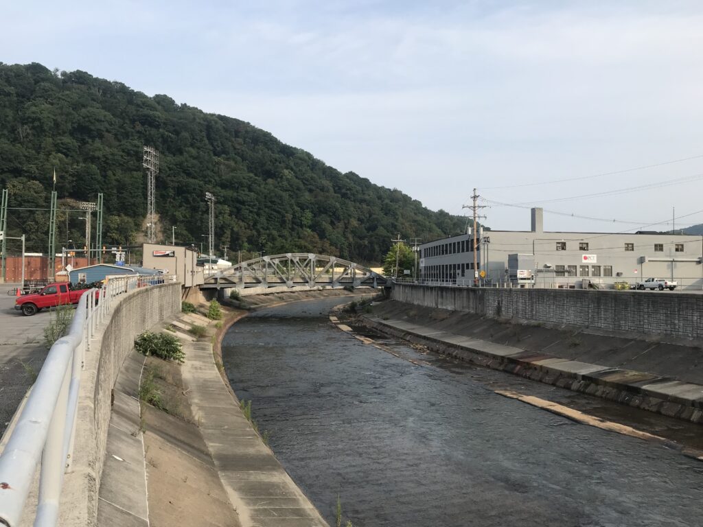
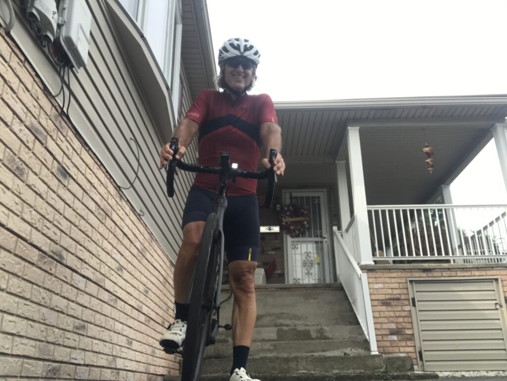
About today: I parked at Team Kia in Giestown (with permission). From there it is a five-mile descent to Johnstown before the real ride begins. This is the first ride I have done using Strava Live Segments so I had targeted some segments to “race” today.

Downtown Johnstown

The first was the climb out of Johnstown that begins in East Conemaugh. And it did not come in. So I rode the climb at tempo but never going too deep. The result was my second best time (14:30) which was only surpassed by my ride in 2010 (14:09). I am pretty confident that I could have squeezed out 21 seconds if I knew my progress. So this may have been a win.

Inclined Plane, Johnstown

I was plagued throughout my ride with Live Strava Segments that did not appear where I expected them. This evening I figured out why. I had a new Wahoo and did not set it up with Wifi to connect with my mother’s Wifi. So any segments I set up or selected (starred) yesterday did not sync when I selected sync. Operator error.

Conemaugh River, Johnstown

I had a surprise segment in Vinco (PR) but could not get the Station Road Climb segment in Twin Rocks. That was set on a dedicated ride three years ago in which my goal was a PR. And in 2018 it was also near the beginning of my ride.

Morning overlooking Johnstown (from Geistown, Scalp Ave.)

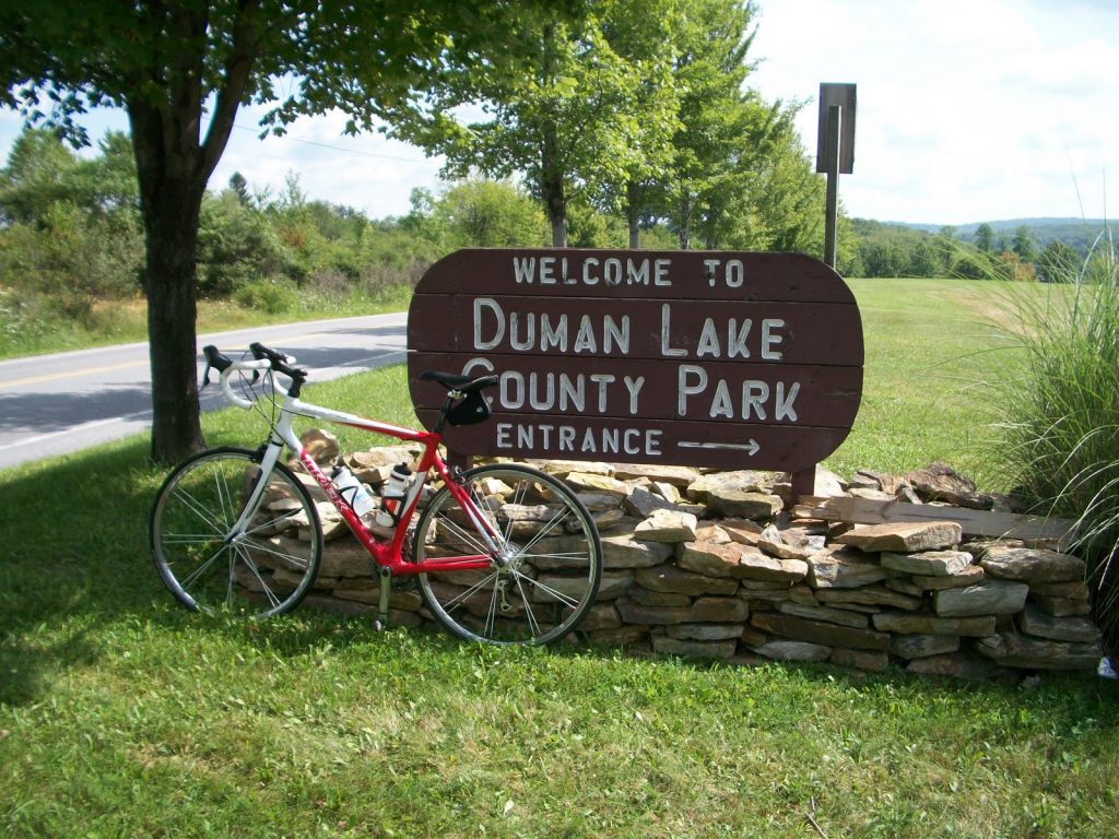
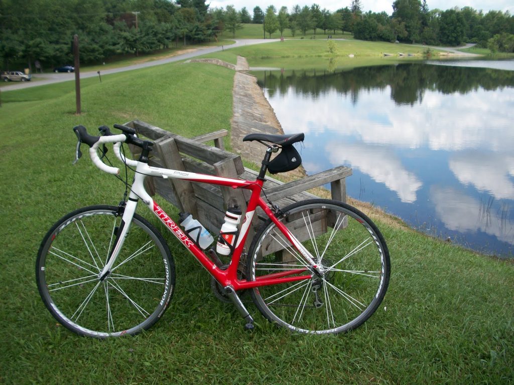
I knew I would PR the four-mile segment from Belsano to Duman Lake. That was 12:32 (2010). I knew I would have to go hard and I saw I was on pace for the KOM (11:08). In the last mile, I went from being 4-5 seconds ahead to being 1-2 seconds down.

Conemaugh River, Johnstown, Pa.

I buried myself pushing the pace. Finally, I saw the time – 11:09 PR. Missed it by one second. What an effort. Then I told myself that what I saw was a provisional time and maybe once uploaded I would gain one second. I was shocked when that actually happened. And I was even more shocked to see that the KOM was 11:09 and not 11:08 which I was fixated on. I got a well-earned KOM. This segment can best be described as a time trial segment more than a sprint or a climb.

I went reasonably deep for a PR on the Blue Goose climb to Nicktown and got it. And I also got a KOM on the downhill from Nicktown to Northern Cambria. But only by six seconds and since this is not a Live Segment (more than -0.25% grade), I could only hope that pedaling the entire way would earn those seconds.

Winebark Park, Rossiter, Pa.

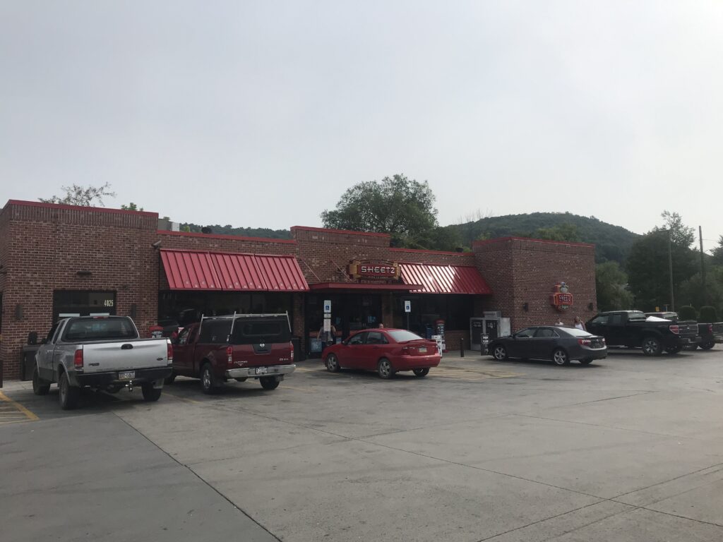
In Northern Cambria, I stopped at Don & Nancy’s house even while figuring they were out of town. Then I headed to Sheetz. I filled my bottles with ice then bought water from their cooler.

Northern Cambria, Pa.

In Cherry Tree, I passed the fair Cherry Tree Days where a banner proudly displays ALWAYS THE FIRST WEEKEND IN AUGUST. Trying to keep a good pace I did not slow or stop to take a photo.

Cherry Tree VFD

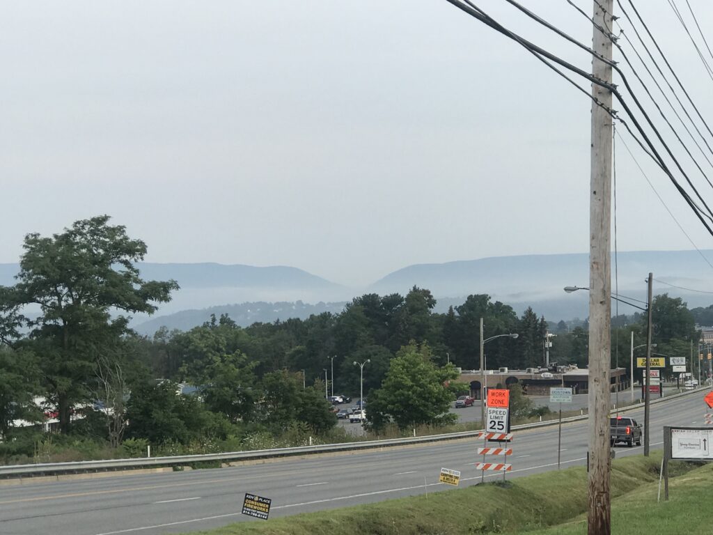
Here the ride gets tougher. It’s all up and down (mostly up) and the roads are “heavy.” I did set a KOM on the Williams Road climb but I am the only cyclist who ever recorded and uploaded to Strava on that road. I was getting tired and by the time I did the last stretch to the “Crossroads” (which is where my great-grandfather, John T. States, lived, I was toast. Done.

Corinne and Barry. When you attend the family reunion and find someone else wore your outfit.

It is time now for reflection. Maybe chasing segments left me more drained than just riding along. Or maybe Father Time is reminding me, Father Time is Undefeated.


Reflection time. I wanted to look at the average speed over time. It ranged from 14.0 to 16.4. I am convinced that I had a strong tailwind in 2010 which helped me achieve the 16.4 speed. That was one week after I posted 14.3.

Today’s ride of 15.4 was almost my second best (which was 15.5). I’m thinking I sucked but that’s almost the best time in 10 years.

Weather certainly affected some rides as I was caught in heavy rains a couple of times. I also think, strangely enough, that the longer rides starting in Friedens or Somerset were a bit easier in that they had 15-20 additional miles that trended downhill to Johnstown whereas stating in Geistown is almost starting in Johnstown.

Sheetz, Northern Cambria

Using the ride in 2010 where I averaged 16.4 mph, RideWithGPS shows the average grade was 0.7% Compared to today’s Geistown ride which was 1.2%. So that could explain most of the one mph difference between the two. Of course, so could competing for KOM segments. I was drained after the segment to Duman Lake and it wasn’t too long before I had to start the Blue Goose Climb. Ending in Nicktown it was only one mile before the descent to Northern Cambria. So chasing segments may have been an overall negative. But getting a higher speed on the segment may have helped out. Who knows?

DateDistanceMPHStart
8/7/201089.4214.3Friedens
8/14/201077.5616.4Friedens
8/13/201178.8214.4Friedens
8/3/201376.0014.4Friedens
8/10/201361.5114.9Friedens
8/2/201485.0515.5Davidsville
8/6/201686.1814.7Somerset
8/13/201640.4315.0Ebensburg
8/12/201740.3214.3Ebensburg
8/19/201751.5314.1Ebensburg
8/4/201860.0314.2Geistown
8/10/201956.0015.0Geistown
8/7/202157.7315.4Geistown

Another factor that is hard to quantify is rest. Yesterday I set four PRs climbing over Ray’s Hill tunnel in Breezewood. My legs felt like Jell-O to start. So how the legs feel leading up to the ride, nutrition both prior to plus while on and off the bike, weather (heat and rain), will all be a factor in how I ride. Plus age – but it doesn’t look like that’s a factor here.

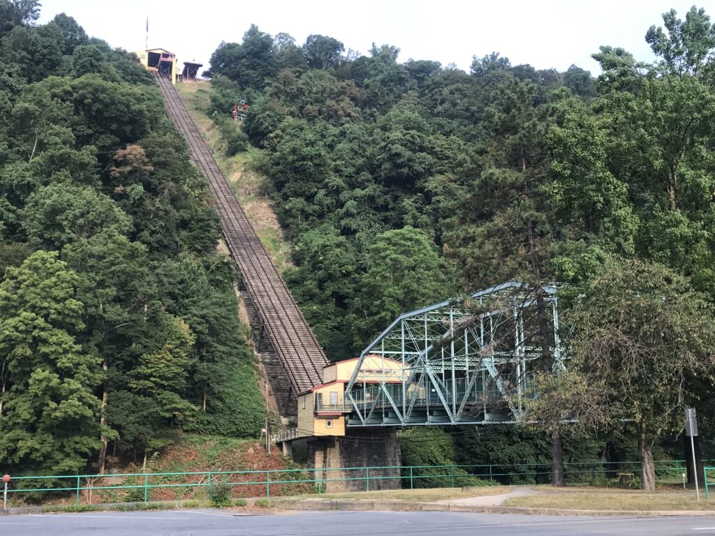
And maybe the final factor is the amount of time I spent sightseeing or stopping to take photos. Today I did not just motor through Johnstown but turned and went over to the Inclined Plane. Likewise, in Northern Cambria, I went to the Lowmaster’s house then went to Sheetz, making a couple of U-turns in the process. No hurry at all. In 2010 I went straight through Johnstown with no sightseeing stops and the same for Northern Cambria. Today’s sightseeing added 1.5 miles but also took 18 minutes. Adding that to the 2010 trip and my average speed would have dropped to 15.8.

I’m not sure what it means but I will include heart rate. Today my average was 136 bpm. My high HR was 174 which was on my “time trial” from Belsano to Duman Lake. Looking back 11 years my HR was 132 bpm and my max was 166 which was on the climb out of Glen Campbell (I missed a turn). I think this is inconclusive. An out of shape rider may have a higher HR than someone in shape. Or if one works harder than the other that could also be a factor. But the work rate as measured by HR was about the same. Maybe I need power meters?

One other comparison. From the bridge in East Conemaugh to Trojan Road (Arcadia/Glen Campbell). It is 41 miles. Both times took me 172 minutes (2:52) at an average of 14.4 mph (it trends uphill beginning with the climb out of Johnstown). Looking at this metric, I rode the same today as I did in 2010 which was my best time ever. And maybe, just maybe, if you take out the eight minutes in Northern Cambria today riding over to Sheetz, then I rode better today.

Also looking at this metric, maybe I didn’t have a great tailwind in 2010. Maybe that was the standard and I matched it today, some 11 years later.

When I did not come close to my 2010 speed I was bummed. But looking closer, I posted a good speed today for the Appalachian Mountains. The difference between total speed between 2021 and 2010 can mostly be explained by the sightseeing component and some by eliminating the long time trending downhill by starting in Friedens.

Father Time is coming for me – but maybe not as fast as I feared. Back off Jack!

The Shadow Knows

PUNXSUTAWNEY, PENNSYLVANIA

The roads here have one quality. They go up. Turn a corner and the road goes up (occasionally down too). But there is one place they don’t. The Mahoning Shadow Trail.

Water Street, Punxsutawney, Pa.

The MST is a 15-mile rail trail that follows the Mahoning Creek to the west and goes deep into the forest to the east. I wasn’t sure how much time I had to ride so I asked for recommendations from my Punxsutawney friends. The consensus was the cool things were to the west.

I parked at Punxy Phil’s (I would eat there too) and joined the trail at the west end of town (well, the west end of downtown). The trail is a crushed limestone trail but there were large stretches where it was barren of limestone. More like packed dirt which actually was OK.

At time is was almost two single tracks

The Mahoning Creek is a beautiful creek with lots of sections of what appears to be deep pools of water. And this was a logging creek 150 years ago as loggers could float their logs to Pittsburgh from here.

Beautiful Mahoning Creek

This became a coal mining area and one passes abandoned coke ovens in the hillside. They were used to burn coal into coke for iron furnaces.

Coke ovens

I passed perhaps 12 other users on this section from Punxsutawney out to Valier (or Fordham). I made mental note of the best photo ops for the ride back into town.

Reaching Punxs’y I carefully noted the signs as I had read reviews which stated they were lacking. And I concur. I don’t know Punxs’y but I’m not a complete stranger either. I knew where the trail entered and exited the town and if I couldn’t follow a marked on-street trail I was OK navigating there by myself.

On the trail in Punxs’y

The signage is bad. Period. Entering Punxsutawney from the west I found myself on the levee next to Mahoning Creek. Or on a paved path. The path here is very narrow but on this cloudy and cool day, it was OK because I didn’t meet anyone coming from the other direction.

On the levee next to the Mahoning Creek

I lost the “scent” of the trail but headed back to where I knew it was. I found the skateboard park but turned around when I didn’t see a trailhead. I left, went back to the main road (East Mahoning Street), and decided I would ride the main road to Cloe. At Cloe, I could pick up the trail.

On the road, it’s a climb. A real climb. The roads here go up and go up some more. But I like to climb so I was OK with taking the highway. But once on East Mahoning Street, I saw a sign marked Bike Route and decided to take it. And I found a trailhead for the MST. And I still don’t know if it’s THE trailhead – but it worked.

Punxs’y Phil is everywhere

It is two miles alongside the Mahoning Creek before reaching Cloe. And here the trail leaves the Mahoning Creek.

This is also a trailhead /parking and a decision for me. Where does the trail go? I hadn’t studied a map to know and my gut said to turn left (on Rte 36) and I would find it in a couple hundred yards. At the stop sign in the lot there is a small blue arrow – straight.

Trail marking. Apparently. Perhaps add a small MST sign to the blue sign?

What is this? Is this a directional sign for the MST? I didn’t know but it puts one on the Cloe-Rossiter Road and I was OK with riding to Rossiter and back on the highway and calling it a day.

I went a few hundred yards past Cloe Lumber and saw a sign to the left for the MST. I think. Or maybe it was just bike route. But I jumped on it and was now on the eastern portion of the MST.

No longer following a stream it did cross Canoe Creek. On a map I was next to Ugly Run but never saw it. I was in a deep forest. There is nothing here except trees. And more trees.

MST – towards Winslow

At the end I came to Winslow Road. I wanted to jump on the road for the ride back but wasn’t sure where it would take me. I decided to ride the trail back. And I would just ride. (And it was a good decision not to take the road.)

Winslow Road trailhead

I followed the trail back to Cloe, crossed Rte 36 and decided to ride as far as I could in Punxs’y before the trail ended. I passed where I had entered and this time exited at the skate park. I also rode through the grass. For this rider, the trail is not well marked.

Once in town, I decided to take surface streets back to Punxy Phil’s. It was nice riding through town.

Downtown Punxsutawney

My short review of the trail is this. It lacks the railroad infrastructure of high trestles or tunnels some iconic trails have. But the MST can’t do anything about that. It also lacks facilities but you are never more than 7.5 miles from Punxsutawney where you should be able to find anything you need – water, food, restrooms. The signage is not good in town. But you will find peace and quiet and solitude riding out towards Winslow with a fast ride back. IMHO, it is prettier riding towards Valier simply because you are next to the Mahoning Creek most of the way.

It may not be a destination trail but definitely one you should ride if you are in Punxsutawney.

Equipment: I rode my Trek Checkpoint (Gravel bike) with 700×32 tires. There were no issues with tire size. 28s would have been fine and 25s would be too.


Reunion in the Rain

SOMERSET, PENNSYLVANIA

Seven years ago I started attending reunions regularly with my parents in part so I could ride from Somerset to Punxsutawney and have a ride back. A normal ride would be 80 miles. Except I previously left from Friedens which is north of Somerset. Today I would leave from Somerset.

Somerset in the morning rain

The weather forecast was ominous. With a 40% chance of rain I pushed off just as soon as I found daylight. Except it began to rain. I wasn’t crazy about riding on wet roads and still a little bit dark. I decided not to follow Rte 281 through Friedens but took back roads over near Shanksville, passing the Flight 93 Memorial Chapel along the way.

Flight 93 Memorial Chapel

Rain, heavy at times, kept me from going fast. I’m not normally scared on the bike but there were a couple of descents where I was scared. I was descending too fast down Mostoller Road because I had no brakes. Everything was wet and I wasn’t getting any grip on the brakes. I came to a stop sign at the bottom of the road and had no choice but to fly through the intersection even while grabbing a handful of brakes. With corn fields on either side I could not see approaching traffic but hoped for the best. I went through the intersection with no problem.

Hidden Lincoln Highway gas pump in Stoystown

I was in a steady rain until Johnstown when the skies turned grey. Just grey. But it was nice not to be fighting the rain and knowing, hopefully, that drivers can see me on the road.

Famous Coney Island in Johnstown

Haven made this ride numerous times, there was nothing tricky about it. I followed my route through Davidsville to Johnstown where I picked up Rte 271 to Nicktown and Northern Cambria. In Northern Cambria I stopped and saw friends/cousins, Don & Nancy Lowmaster, before heading up to Cherry Tree and Indiana Co.

Nancy and Don Lowmaster

I passed one Amish buggy and waved to the people inside. I find the Amish are always very friendly to me when I’m on my bike and we do share that common bond: drivers hate us.

Yard sign, Smithport, Pa.

Otherwise, the ride was uneventful. I am always on the look out for dogs and seemingly get by the one house every year before the loose dogs notice me. They missed me again today.

Canoe Twp., Indiana Co.

I was dirty when I arrived at the reunion although not too wet as my wicking clothes got rid of the rain only to be replaced by sweat. But I was thankful, especially with the early weather conditions, to have made it safely.


Punxsutawney Phil

PUNXSUTAWNEY, PENNSYLVANIA

I’ve done this ride before although never quite like this. It was “wheels down” at 6:30 a.m. on a cool morning with a cloud cover. I left Friedens and rode up Pa. Rte 281 to Stoystown and not a single car passed me. I stopped briefly to take a picture when I found one of the decorative 1930s gas pumps that celebrate the Old Lincoln Highway.

Old gas pump, Stoystown, Pa.

In Stoystown I got on Plank Road for what should have been an enjoyable descent down to and past the Quemahoning Reservoir. And then I remembered a couple of weeks earlier laughing at Frenchman Arnaud Demare stopping during the Tour de France and running into someone’s camper to use their bathroom. Karma would get her revenge today although there were no campers alongside these forested roads. The good thing is that no cars passed me on this stretch of road either. (**)it happens.

Quemahoning Reservoir

Riding my new Trek Domane, I was wondering if my average speed would be higher today than it was four years ago when I was chased by Rottweilers. But I rode at a relaxed pace, often stopping to take pictures. Or other things.

Arnaud Demare takes a comfort break during the Tour de France (2014)
Source: BleacherReport.com

In Northern Cambria at Mile 55, I stopped at the home of Don & Nancy Lowmaster for a needed water break. The sun had come out, it was warming up, and I had depleted my water. Nancy refilled my bottles with ice and water.

Fox Pizza, Davidsville, Pa. – My “One Hour” Photo

Although another 20 miles remained to my destination of a reunion site, these were the hardest miles for me. While the climb out of Johnstown seems somewhat steep, the road is good and the grade is constant. Once on these back country roads the climbs become stepper, the surface a little rougher, but for me, the hardest part is the grades are not consistent. It is hard to find a pedaling rhythm.

Coney Island, Johnstown, Pa. Hot dogs aren’t just for lunch anymore.

On Arcadia Road, I remembered a loose dog last year, so I sped up and went into stealth mode. I thought I was by safely. Then to my right heel was a pit bull chasing. Oh boy. But I was already 200 yards past his house and I think he was more chase than catch. At least today he was.

East Conemaugh, Pa., looking towards Johnstown

Just before Smithport someone went by and called out “Hi Barry.” I have no idea who it was.

Gobblers Knob, Punxsutawney, Pa.

After the reunion, I decided to ride on to Gobbler’s Knob and into Punxsutawney. I had never been to Gobbler’s Knob. It was another 6-7 miles with much of it on those nasty little climbs that are steep with no consistency. It was August 2 – six months after or six months before Groundhog Day. Was I early or was I late? It didn’t matter. It was a sweet ride down to Punxsutawney to end the day.

I had my dad leave the reunion and drive my car to the County Market in Punxsutawney to pick me up.

Gobblers Knob, Punxsutawney, Pa.

A check of the data shows I was not faster than four years ago although it was my second fastest time – even while not feeling so hot.

Punxsutawney Redeux

PUNXSUTAWNEY, PENNSYLVANIA

It’s reunion time! First the States reunion followed by the Lowmaster reunion the first two Saturdays in August. It gives me the opportunity to ride from my parents’ place near Somerset to the reunion site near Punxsutawney.

One hour photo – Top of Summit Hill out of Johnstown

I just can’t seem to leave early enough (daylight) to make it on time and decided to do something different today. Planning to drive to Pittsburgh to see the Steelers v. Giants with my father, I asked him to drive my car to Punxsutawney after dropping me at Davidsville, Pa.

This would knock the first hour off my trip but it also took 30 minutes or more driving there so it really only saved me 30 minutes. It also took 17 miles of the easiest riding out of the trip.

Two Hour Photo – Duman Lake, Cambria Co.

Grey and overcast, I wore arm warmers when I took off. Coming out of Johnstown, it started to rain, lightly. I just couldn’t escape the rain on these trips. Like last week, I felt good on the climb but managed a higher descending speed because the roads were mainly dry on this trip.

In Northern Cambria I stopped briefly at my cousins, Don & Nancy Lowmaster, for a water break but they weren’t home. No worries. I pushed on.

Three Hour Photo

In Cherry Tree I stopped for about 15 minutes and talked to the young clerk in the post office. I am friends with the postmaster, Michael Perrone, and was surprised to learn that he had recently retired.

I took the usual back roads through Banks and Canoe Townships in Indiana Co. At one point I came to some barking dogs, one unleashed. Not my friend. I like dogs and I was able to make friends with this one. He licked me. Although he wanted to chase me when I left.

Not quite my Four Hour Photo

I told my dad it would be 4 1/2 hours and I pulled in 4:40 minutes later — it was those extra 10 minutes in Cherry Tree.

I like this route. Route 271 between US 422 at Belsano and US 219 in Northern Cambria is especially nice. Great pavement and very little traffic plus a real nice four mile downhill from Nicktown to Northern Cambria. I’m ready for more reunions.
 

No Dogs This Year

PUNXSUTAWNEY, PENNSYLVANIA

Last year I biked from Somerset to Punxsutawney on consecutive weekends for family reunions. The lowlight was being attacked by Rottweilers and it has always made for some scary riding since. And the truth is, I have avoided that section of road ever since.

Today was a near-perfect day. Rain at the very start (I didn’t say it was a perfect day), cool enough to be comfortable although the sun eventually came out around Johnstown.

Coming out of Davidsville on Pa. Rte 403 there is a wonderful three-mile descent. The grade averages 6-7% and one can simply coast. In preparation for Mount Washington, I had removed the big ring off my bike so there was no pushing the speed to extreme heights. Traffic was light and respectful until some jerk came up behind me and laid on the horn. After he passed we approached a light and he stopped. He was very angry. He reached over to wind down his window (loser) and started screaming. “GET OFF THE F___ING ROAD!” I smiled and asked him why he was so angry. Just another day in the paradise of riding.

Arriving Johnstown I was passed by a large truck, slightly smaller than a dump truck. Just after passing me, it rounded a curve and a large piece of rebar came flying off the truck, crashing to the sidewalk and smashing into a telephone pole. A few seconds earlier that would have been me. Ouch.

In Johnstown, I passed Coney Island Hot Dogs. It was 8:30 a.m. I looked in the window and thought maybe they’d be serving breakfast but I saw a worker serving hot dogs. Who eats hot dogs at 8:30 a.m.? People in Johnstown, that’s who.

Conemaugh River Valley outside of Johnstown

The climb out of Johnstown on Pa. Rte 271 was nice. I could hear trains creeping in the valley. The cool air still enjoyable.

Twin Rocks

I followed 271 through Mundys Corners, Nanty-Glo, Twin Rocks, and Belsano Shortly after Belsano, I tried a new route – Snake Road. I thought at first it was named for serpents it soon became apparent that it was named for the way it snakes through the forest.

I came back to 271 and at Nicktown, followed it to Northern Cambria. I wasn’t going to take the shorter route through Marstellar and risk seeing those dogs again.

After Northern Cambria, I stayed on Rte 219 despite the warnings a bridge was out three miles ahead at Emeigh. It was. I simply took my bike and walked over it.

Bridge out on 291

After Cherry Tree, I used the Garmin for the first time to direct me. Each time I ride through here I seem to take different roads and I found some today. Once I got to Smithport, I knew exactly where I was going but there was one problem. Fresh oil/tar on the road. The last four miles had the tar and chip surface. Gravel is not a friend of road bikes and neither is tar. I arrived but the bike wasn’t in such good shape.

The worse sign a cyclist can see

Outside of the messy tar, it was a very enjoyable day on the bike. And no dogs.

Reunion Photo – Kay Walborn (far left), next to Barry Sherry

Saved by Biscuit

PUNXSUTAWNEY, PA

Today was the STATES family reunion in Canoe, Twp., Indiana Co., Pa., near Punxsutawney. I had hoped to leave my parents’ place near Somerset and bike 75 miles to the reunion while they drove there. And I hoped to beat them there. That would not happen.

The temperature was 56 degrees (13 C) when I left. The ride was uneventful until I reached Johnstown. I had planned to follow Rte 271 through Johnstown for about 25 miles so you would think I could stay on it without a cue sheet for more than one mile. You would be wrong.

I went through Franklin borough just outside Johnstown and was barely paying attention to the signs when I briefly saw one which stated TRUCK ROUTE 271. At first I followed it but then doubled back to double check the sign. And it was clearly marked “truck route.”

Biscuit01
It is marked TRUCK ROUTE, no?


To my thinking, this was the truck route which was longer and not as steep as the regular route. You’d think. You’d be wrong.

So I went straight instead of turning and I immediately began a real nice three-mile climb and did not regret following this route. Until I reached South Fork, that is. Then I knew something was wrong. Terribly wrong.

I found two guys who were “railfans” alongside the tracks with their huge cameras. One was from New Jersey. The other was from Vermont. Nice guys but they certainly couldn’t help me.

Biscuit02
Rail fans from the Northeast come here to take pictures


I found directional help in the form of a man at a gas station. He had to think about how to help get me back to Rte 271 then discounted a road because it had a “big hill.” He said no bike could get up it. I told him the bigger the better. So he sent me that route. He was right (about big hill but wrong about being able to ride up it). I enjoyed every minute of the climb. I also called my mother and told her not to worry if I wasn’t at the reunion within an hour or two after they arrive because I went far out of my way.

Biscuit03


Once back on course I stopped for a brief break at Duman Lake County Park near Ebensburg. After the break I made it to Nicktown then paused to read my cue sheet. I remembered I could turn right and end up in Northern Cambria where I could refill my water bottles – now empty. But my cue sheet, which I made, had me turn left. I turned left then made a right turn in half a mile.


Biscuit04
Duman Lake Park near Ebensburg

As I approached Marsteller I spotted two huge Rottweilers ahead and fast approaching. I stopped and immediately dismounted. I turned my body to hold my bike between the dogs and myself. And they came right at me.

Not a photo of the actual dog – they were meaner looking
I figured I had little chance against one dog. And my odds dropped to zero against two of them. I was successful in holding one at bay but the second one could see my trick and was about to go around my bike and greet me from the back side.

I’m holding a carbon fiber bike. Lightweight and expensive although the cost meant nothing. In an instant I wish I was on a $100 steel bike. Or at least aluminum. I figured my only chance was to swing the bike wildly. It was a stupid plan.

There was a car parked a little behind me. I thought maybe I could quickly climb onto the hood then maybe the roof. But what happened next was too fast to accurately recall.

A tiny terrier in the lawn next to me came running out of his yard right to the two huge dogs. They immediately lost interest in me and saw a furry meal instead. The little gal let out a yelp – a big yelp from a little dog – and somehow she got away. I thought she would be mangled to death. Its owner quickly appeared and with the two of us there, and perhaps confused over what just happened, the Rottweilers scurried away. I really don’t remember why they left or where they went.

During the 60 seconds or so I was scared to death but outwardly calm. I tried to talk to the dogs but did not appear aggressive, other than keeping my bike between us, nor did I try to flee. And I kept my eyes on them, never turning my back, which is why I never saw the terrier who came to my rescue.
I am convinced that that little terrier came out of her lawn to protect me. I also believe that had she not appeared that I would have been hurting pretty bad tonight. I like dogs. It is a shame that some people don’t train or control theirs.
I was shaken. I got back on my bike and rode away, not fully comprehending what occurred nor expressing enough gratitude to the dog’s owner for what the terrier did for me.
I have a chance to ride this route again next Saturday but not sure I want to ride past this stretch of road again. I may elect to drive instead, stopping to thank the owner properly.
I reached Cherry Tree, Pa. and found a country store to refill my bottles. As is my custom, my bike and I went inside the store and no one questioned me.
Biscuit05
My bike inside the store
The last 20 miles of my day were trying on me. These are real country roads with few houses and a lot of farms. Many folks own dogs, big dogs, and allow them to roam freely. I was on edge the rest of the ride.
At the end of the day I had ridden 90 miles, climbed more than 8,000 vertical feet, and narrowly avoided one nasty mauling.
UPDATE: SUNDAY AUGUST 15, 2010 
Yesterday I biked the same route to my LOWMASTER reunion except that I avoided this stretch of road because of the dog experience.
Today I drove 50 miles, one way, from my parents’ house in Somerset, Pa. I carried two bags of doggie treats. My quest: To meet the owners and thank the dog.
Biscuit06
Gabby Pizur and Biscuit

I took two bags of doggie treats to Biscuit, a 3-year old Yorshire terrier. The family was glad to meet me and wanted to thank ME for saving their dog. That is not what happened.

I explained that I was the one in trouble and their dog bounded over the 18″ – 24″ retaining wall from their lawn right into these two Rottweilers that had me cornered. I believe Biscuit acted only because she saw me, a total stranger, in great trouble with these dogs.

 _________________________________
UPDATE FRIDAY AUGUST 27 – I did a phone interview with Ashley Watt, a newspaper reporter for the local newspaper in Ebensburg or Northern Cambria. I thought the focus was on Biscuit, the Yorkie, who saved my butt/life. I don’t know when or where it was published but a magazine called Punxsutawney Hometown, picked up the story for their October issue. Pretty embarassing. They called me a “former Punxsy resident.” (I was born in Punxsy but I’m not from Punxsy.)


Map and Stats for August 7 (from Ride with GPS.com)

Map and Stats for August 14 (from Ride with GPS.com)

Verified by MonsterInsights