SHELLSBURG, PENNSYLVANIA
This time I got it right.
With rain hanging in the air from Greensboro to Boston, I tried to find a window when it was dry enough to ride. In addition I was coordinating this ride with Rocky Sprow. We agreed on the start time of 12:30 p.m. and met at Shawnee State Park.
Rocky brought his friend, Ed, with him. The last time we rode together I had some girl strip naked in front of me and jump off a dam. I couldn’t promise anything quite as exciting as that today.
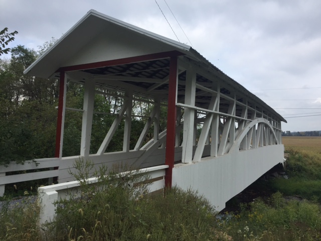
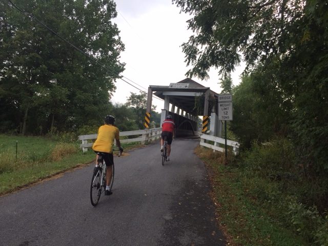
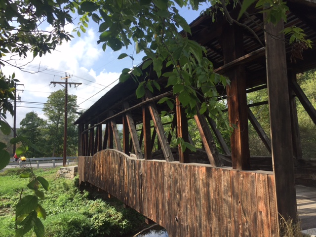
We headed out of Shawnee State Park towards Manns Choice. The roads were mostly dry but the sky was gray. We found the Herline Bridge just five miles into our ride.
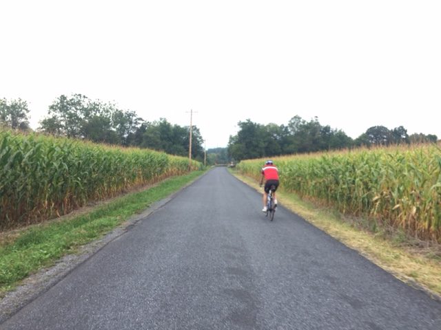
From Herline we went on Rte 31 and US Rte 30. We were on the shoulder on Rte 31 for 5.5 miles to the Jean Bonnet Tavern and another 1.5 miles on US 30. This was the sketchy part of the ride but best get it over in the first part. This is marked as Pa. Bike Route S – a major route across the state. But as I often say, “just because you slap a sign on it (designating it as a bike route) doesn’t make it safe.”
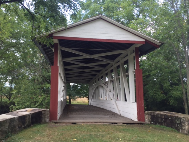
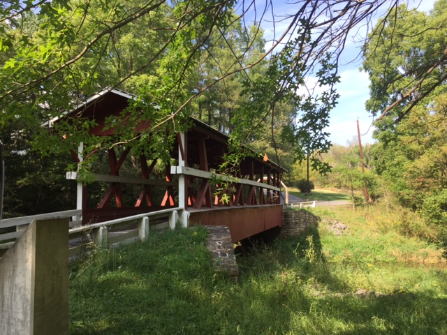
We found the the Claycomb Bridge at Old Bedford Village then followed Old 220 out of Bedford. From this second bridge to the third would be 11 miles – our longest stretch between bridges. Up ahead we could see rain on Blue Knob. It did not look like we would survive without getting rained on.
We went through Osterburg which was the location where I followed the Covered Bridge Route last time and missed four bridges. This time I stayed with what I knew was right.
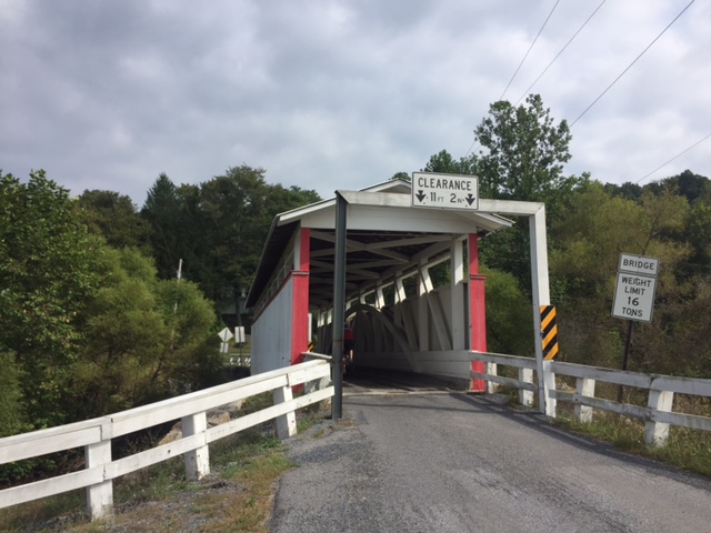
The third bridge was Bowsers Covered Bridge and then it was only two miles farther to Snook’s Covered Bridge.
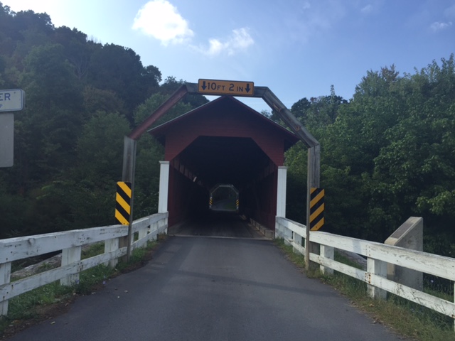
After Snook’s it was just another two miles to Knisley’s Covered Bridge. I rode through each bridge and this was the most challenging. The floor boards have large gaping cracks in them and I rode diagonally to avoid getting my wheel caught in one. But I rode it through it.
In an area where drivers are usually very nice, we were on Dunnings Creek Road. A driver came up behind us and laid on her horn for about 30 seconds all the while she was passing out. Wow. A young lady too which blew away our stereotypes. May she have a better day than whatever it was that was disturbing her.
The Ryot Covered Bridge was just ahead, about 2.5 miles from Knisley. We survived less a little hearing.
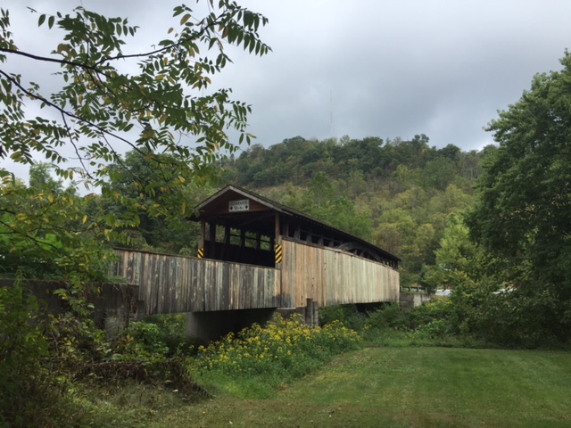
Once onto Rt 96, yet another 2.5 miles just before entering New Paris (“Named for the Capitol of France”) we came to the Cuppett Covered Bridge. It is not open to traffic but one needs to just carry the bike over a guard rail and it has good flooring. I biked through it.
So that was it. From Bridge 3 to 7, we saw five covered bridges in less than nine miles. We also had been trending uphill but one big hill was still to come.
There is a one mile climb from New Paris to Shellsburg. It probably averages 4% for the climb but the steeper sections seem to be in the 6-8% range. Rocky and Ed were on my wheel but I kept a good pace up, for me. Not sure what I was doing but I saw my heart rate in my red zone above 170. Usually only Mt Washington brings that out of me. Then it went over 180. I’m not sure I’ve recorded higher on a bike. But it felt good. And they were no longer on my wheel.
In July last year I went up with Chey Hillsgrove and Chelsea Johnson in more than 10:00. Today I did it in less than 6:00.
We descended to Shellsburg then went over to Colvin Covered Bridge. Then it was a turn towards home. We passed the Hillegass Camp. Rocky said he spent the summer of his 6th grade year here and learned to swim in Shawnee Lake.
Eight covered bridges in 43 miles. I could have added a ninth (Turner’s) by adding a couple more miles but it is down a heavy gravel road. This route was perfect. The sun came out. Perfect temperature, no rain, eight bridges not four, and good riding partners.