Cap to Cap

RICHMOND, VIRGINIA

The goal: Park in Richmond, take a train to Williamsburg and ride back on the Virginia Capital Trail.

I was thinking Union Station in D.C. with its six-level parking garage. In Richmond, I found nothing other than a mostly vacant lot near the train station which needed a parking app. I drove a few blocks away and found on-street parking. After all, I was riding a bike today so it really didn’t matter how far away I parked.

Richmond Main Train Station

The area where I parked seemed a little sketchy. Next time: I will park at the trailhead at the bottom of Pear St. then bike to the station.

Inside Richmond station

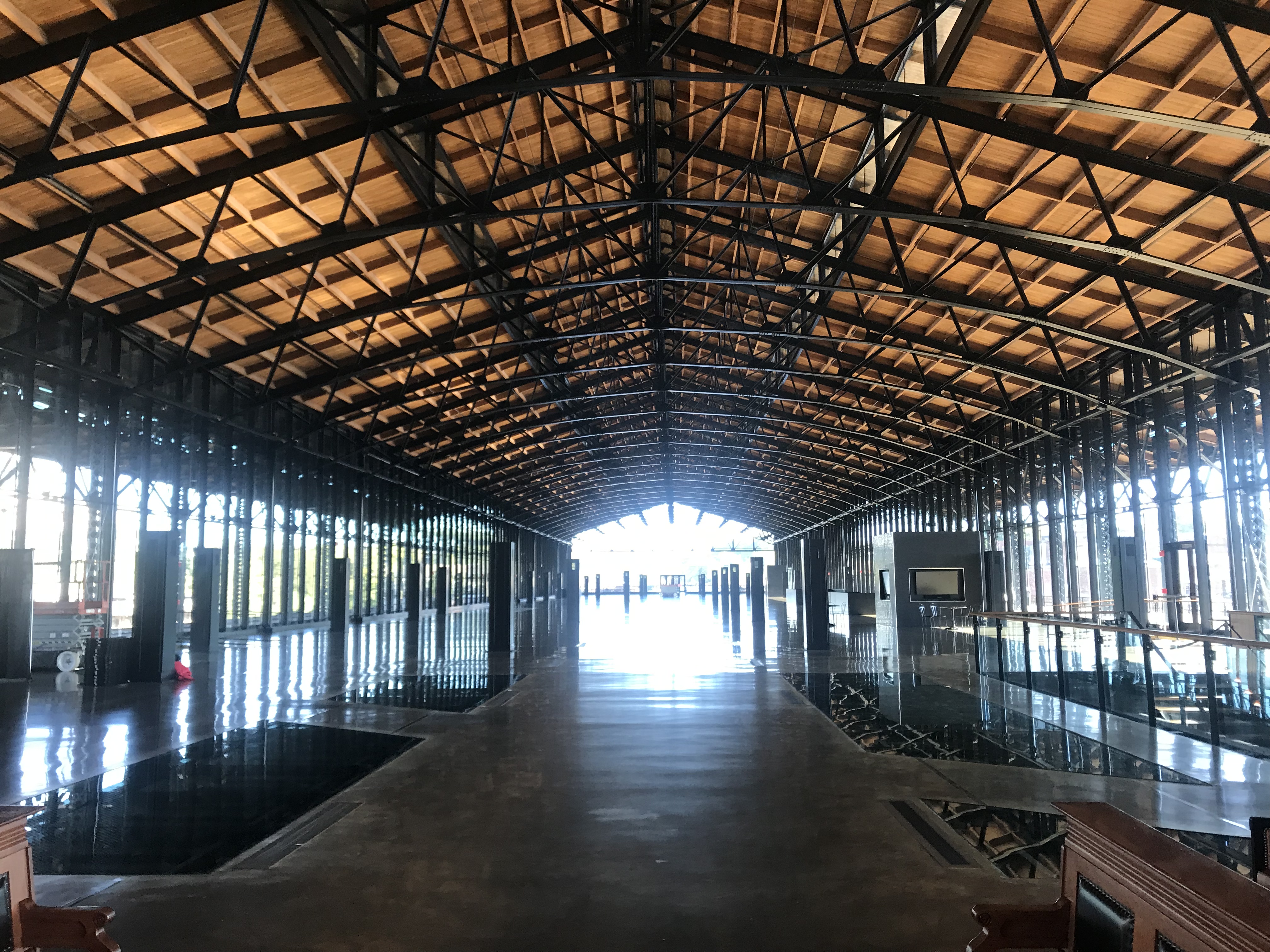
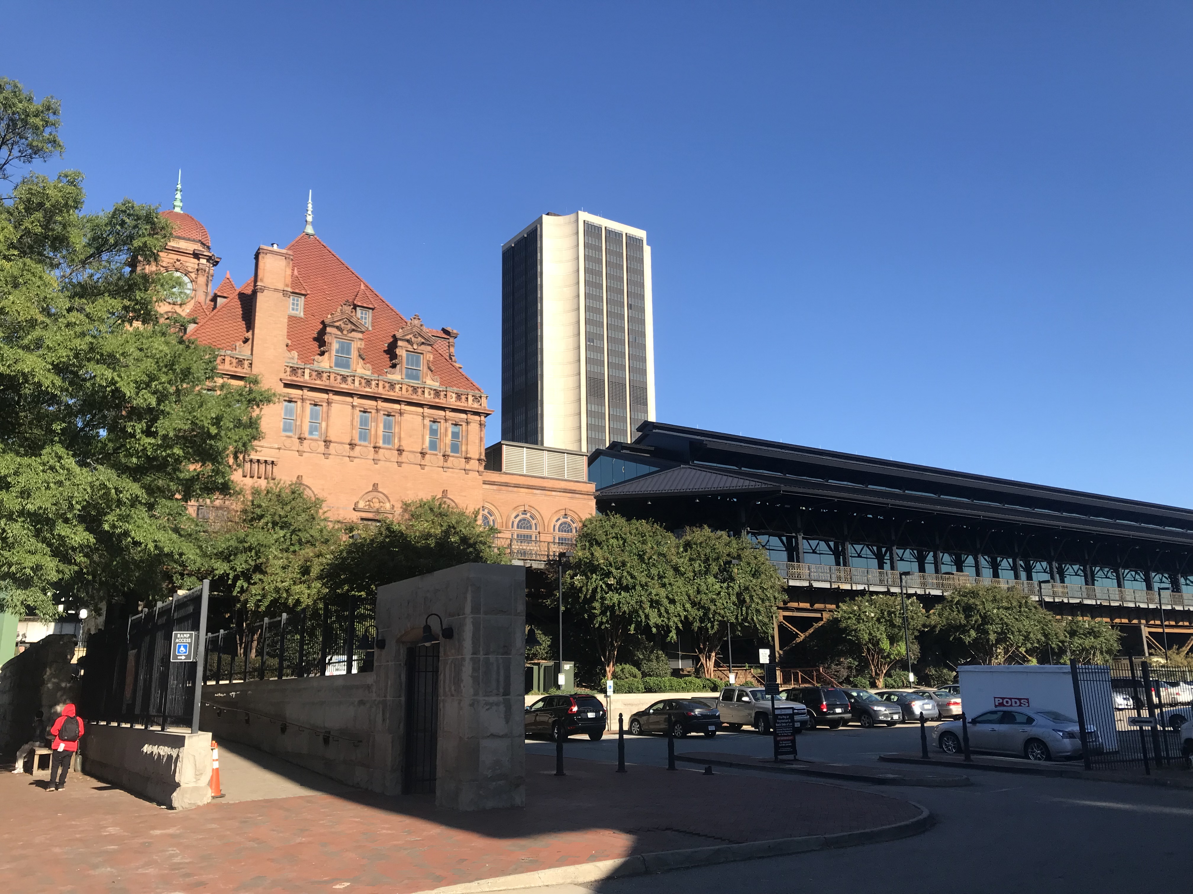
Like so many U.S. train stations, the Richmond Main Station is a treasure. What a beautiful building. It was, however, lacking in signage. I had no idea which track my train was arriving on or how late it would be. It was scheduled at 10:03 a.m. but had not arrived by then.

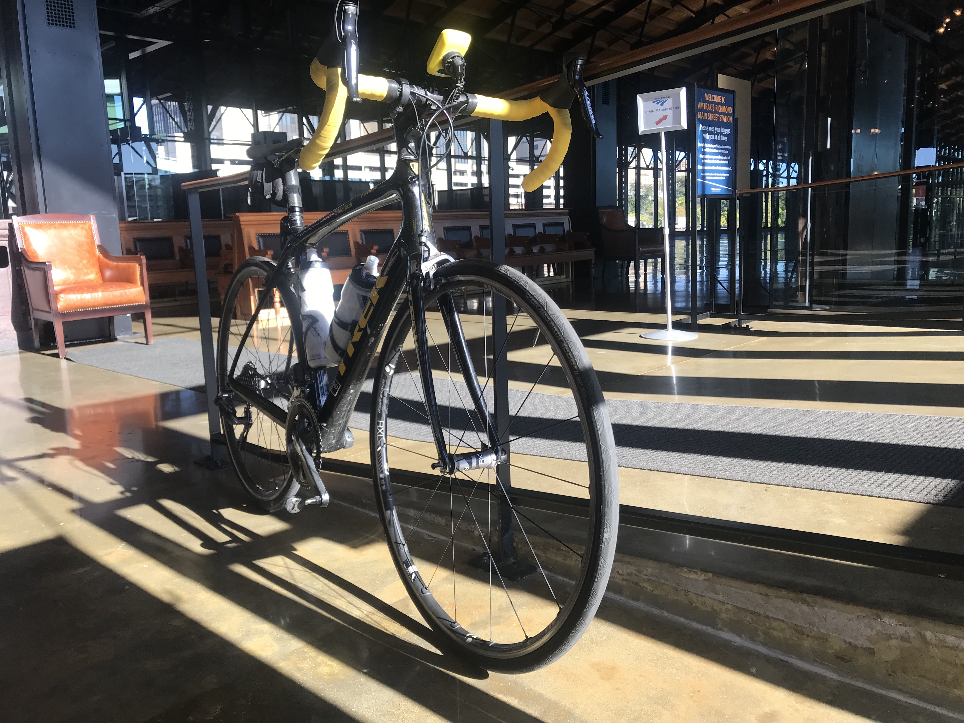
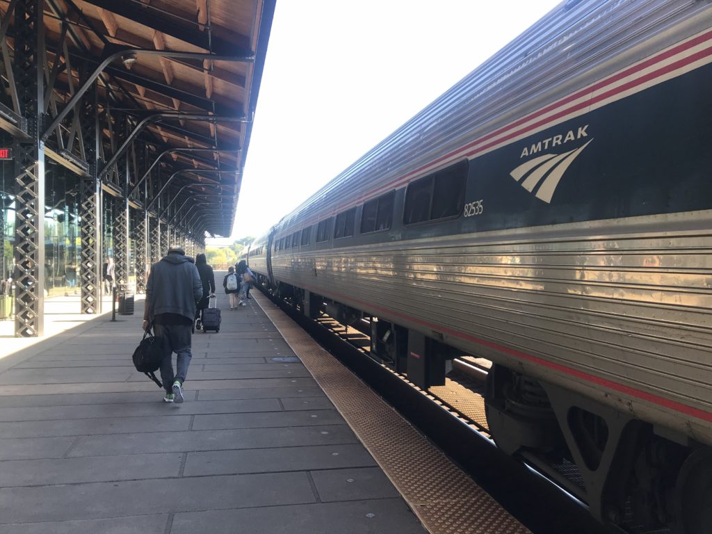
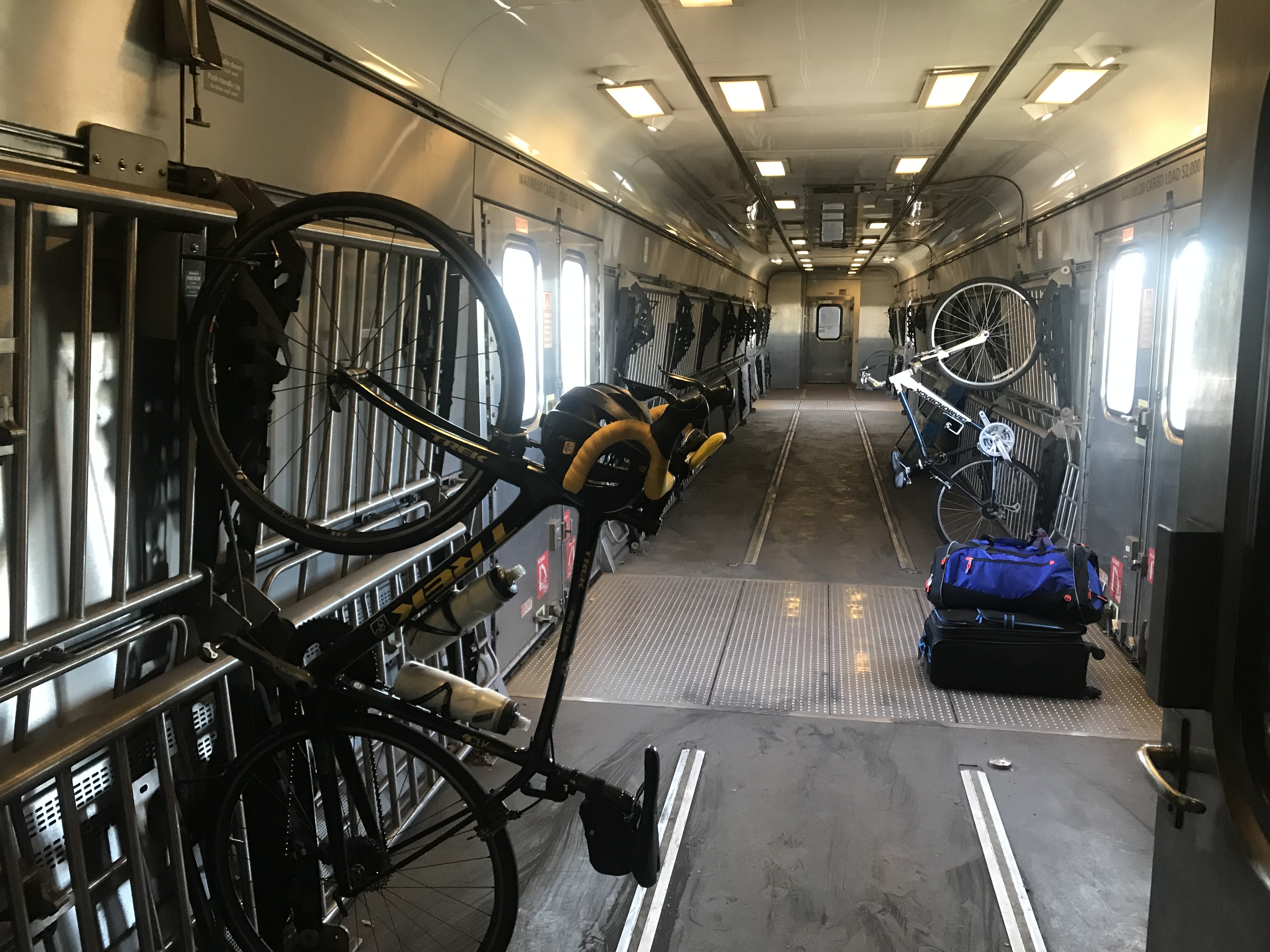
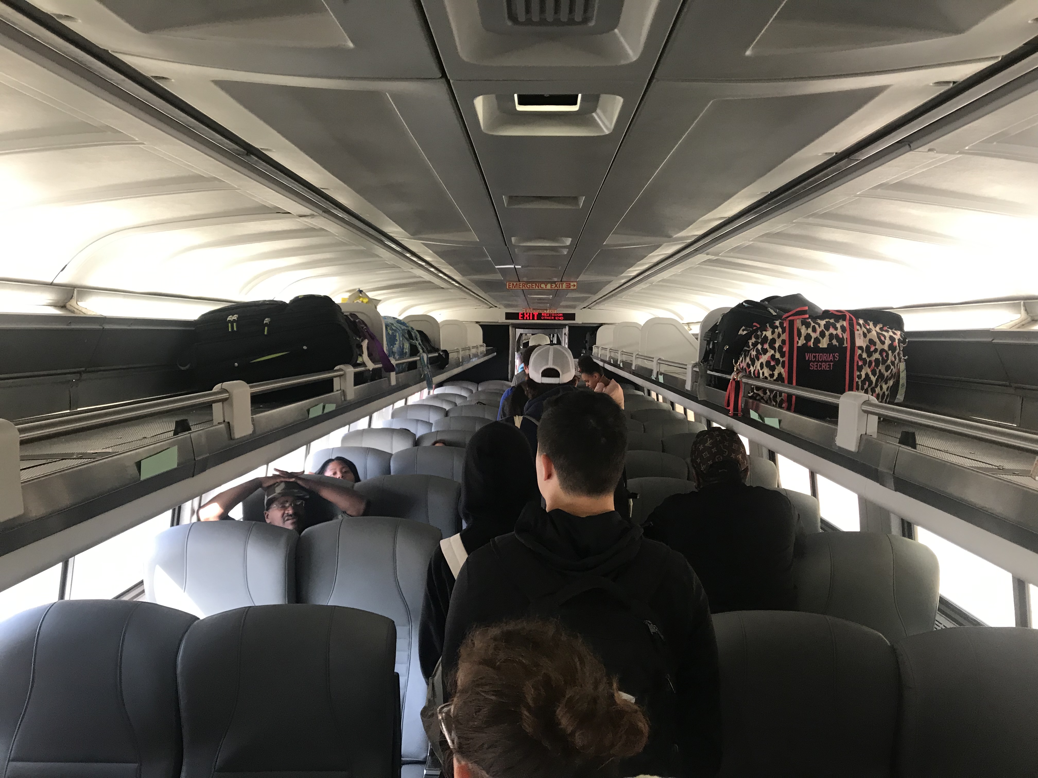
I had made a bike reservation so someone should have known that I was boarding with a bike. The baggage car was at the front of the train. There was one boarding area, in the middle, where the conductor checked our tickets.

Richmond Main

I had to enter the middle of the train. When I asked the conductor where I should put my bike he said “anywhere.” I was expecting two hooks per car but found none. One we got rolling he walked it through two cars to the baggage car and hung it on a hook.

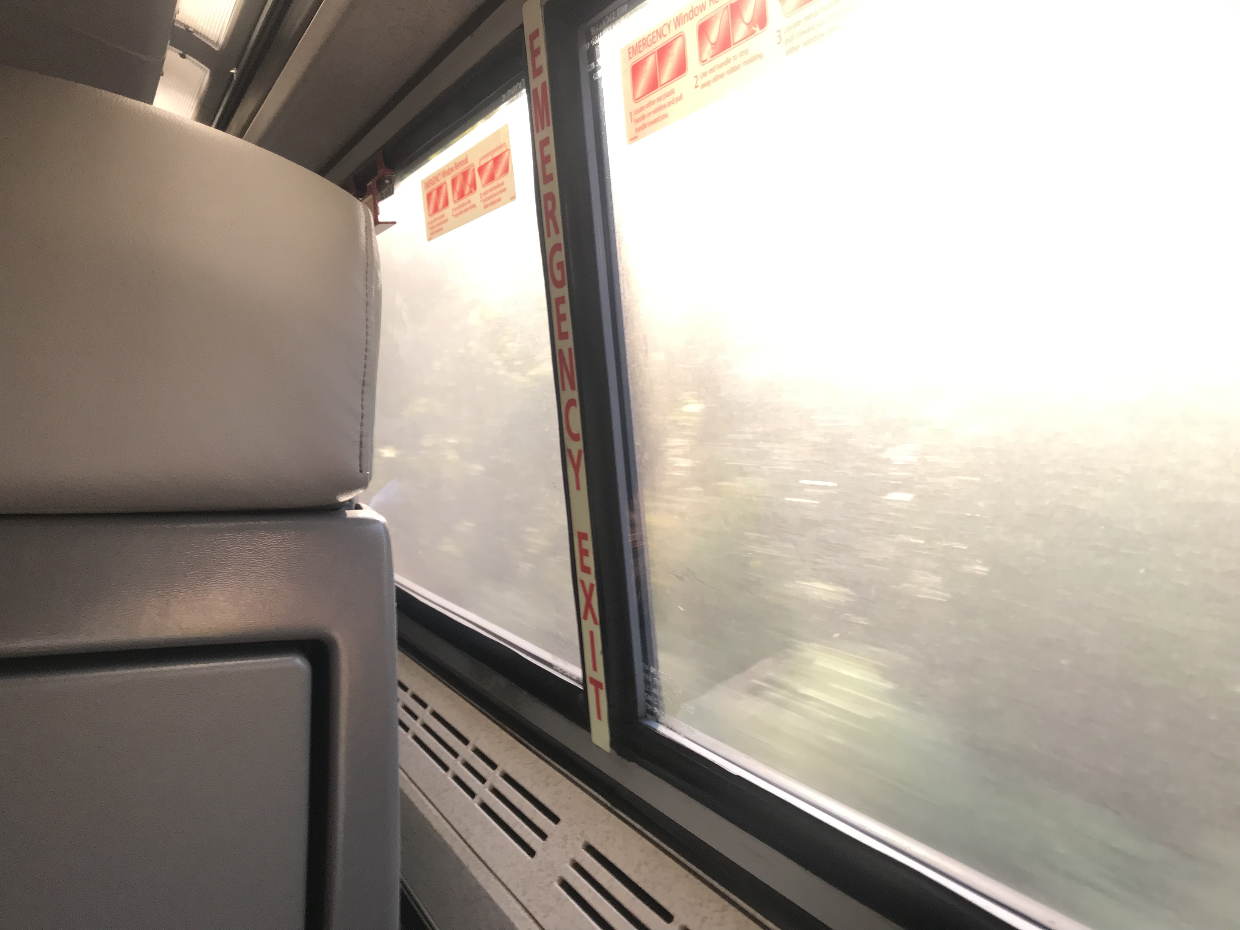
The train ride could have been enjoyable The windows were filthy dirty and it seemed the engineer loved blowing that train whistle. Seems to me that there should be better ways in 2019 to warn people of an oncoming train rather than a whistle. I’m not sure I ever heard a train in Switzerland use one.

Dirty windows

With the glare of the sun hitting those windows, it was hard to see any scenery. But mostly it was a forested area from Richmond to Williamsburg.

The seats were much better than the last time I rode a train. Only the constant whistle kept it from being truly enjoyable.

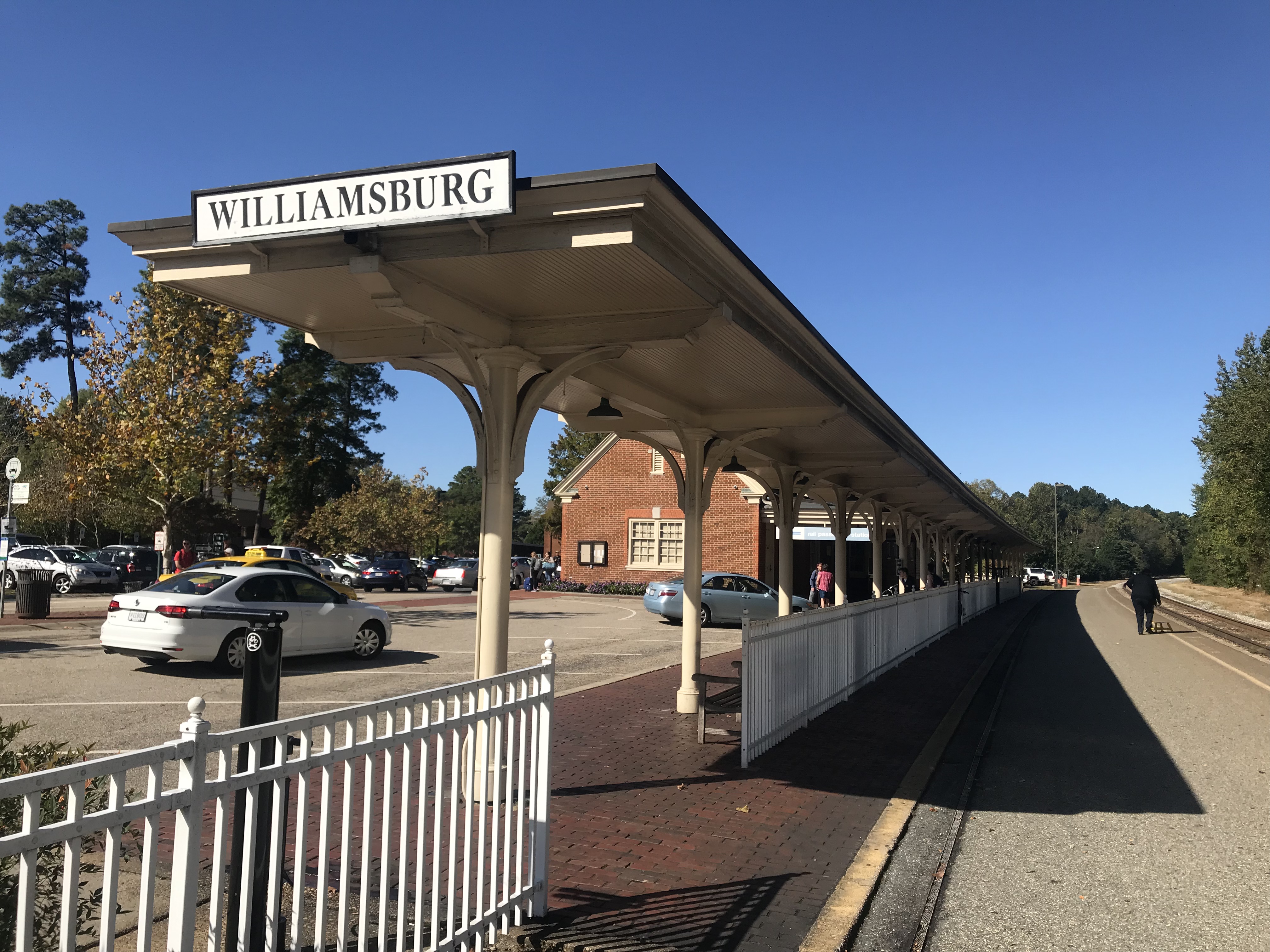
At the Williamsburg station, I had to exit from the middle of the train then walk back up to the front to pick up my bike. Seems the two cyclists would have been better served to exit with their bikes.

Colonial Williamsburg

I had no clue where I was but then – I was in Colonial Williamsburg. I rode the traffic-free streets for a few minutes then found Rte. 5 towards Jamestown.

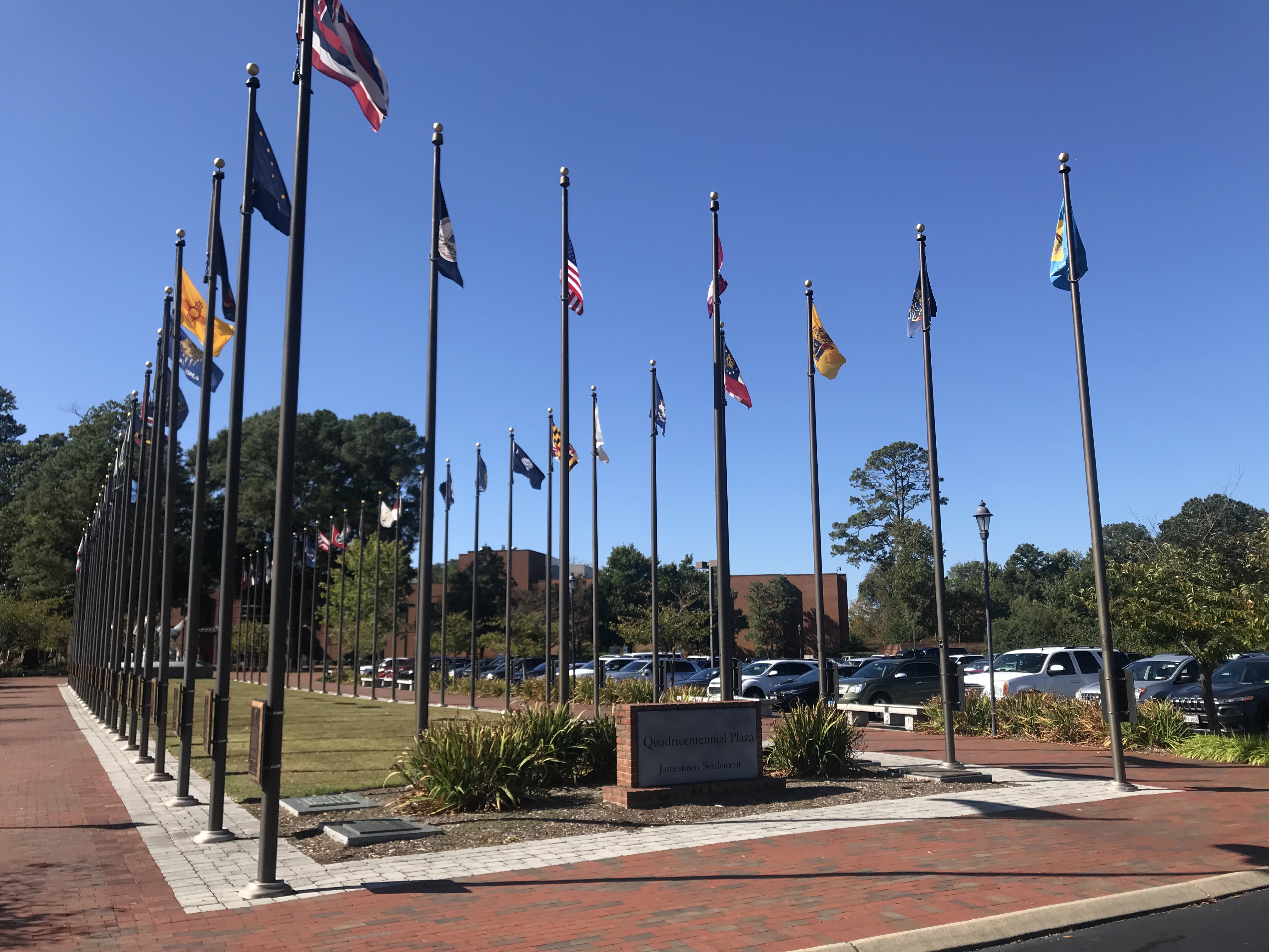
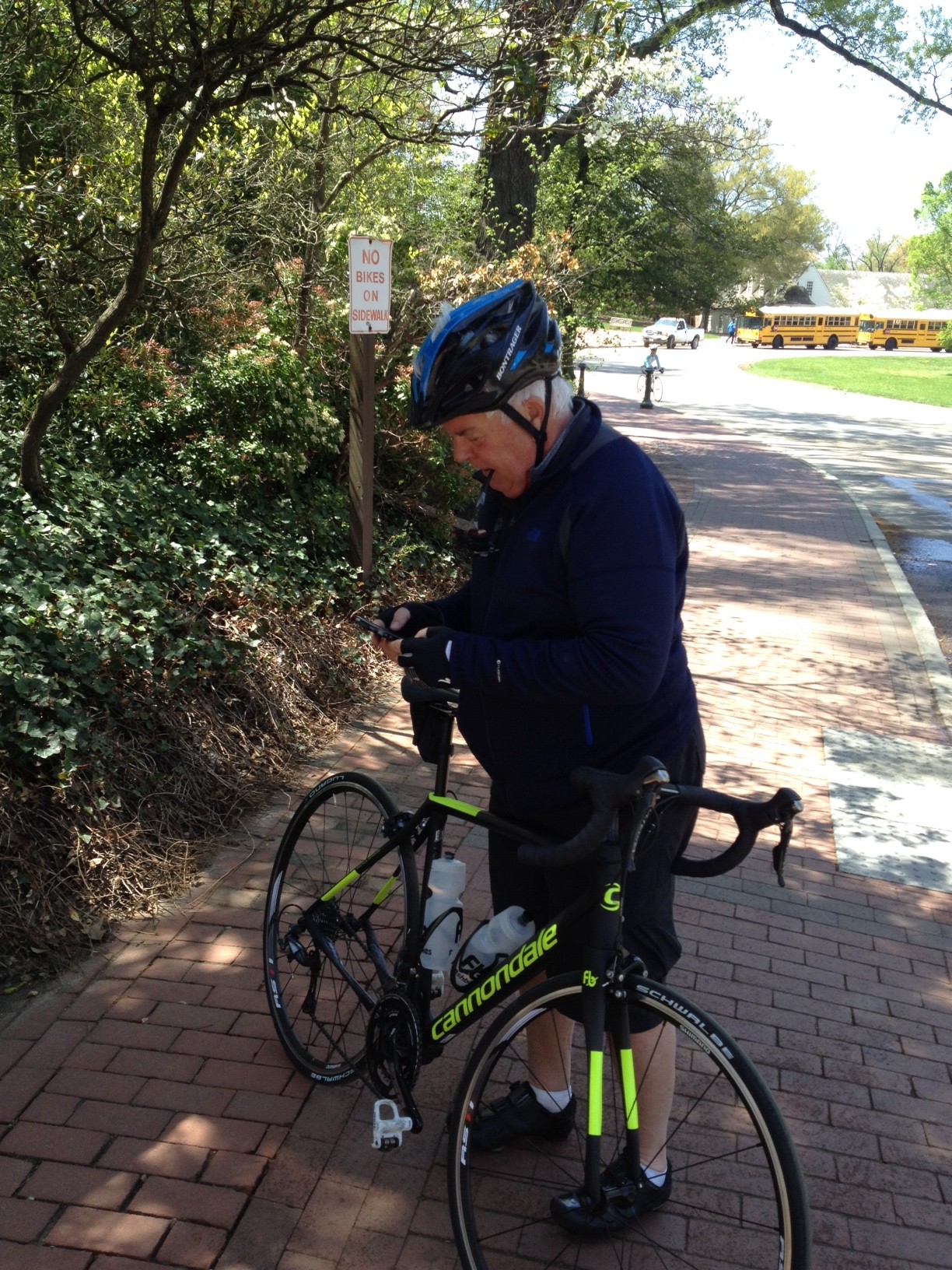
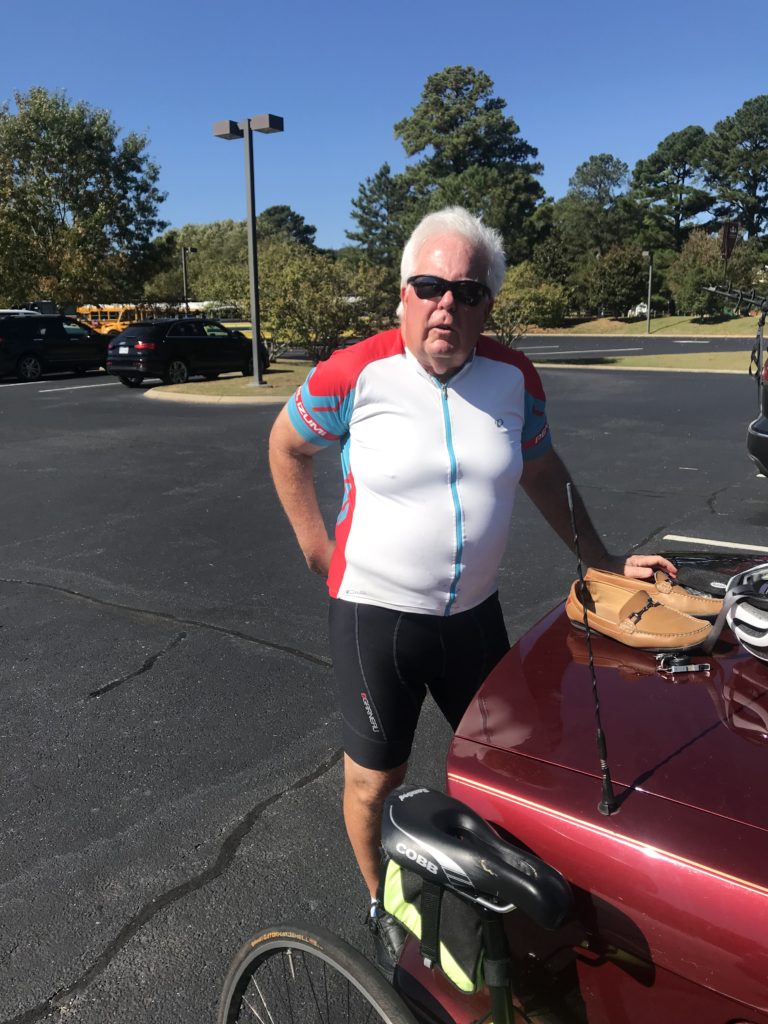
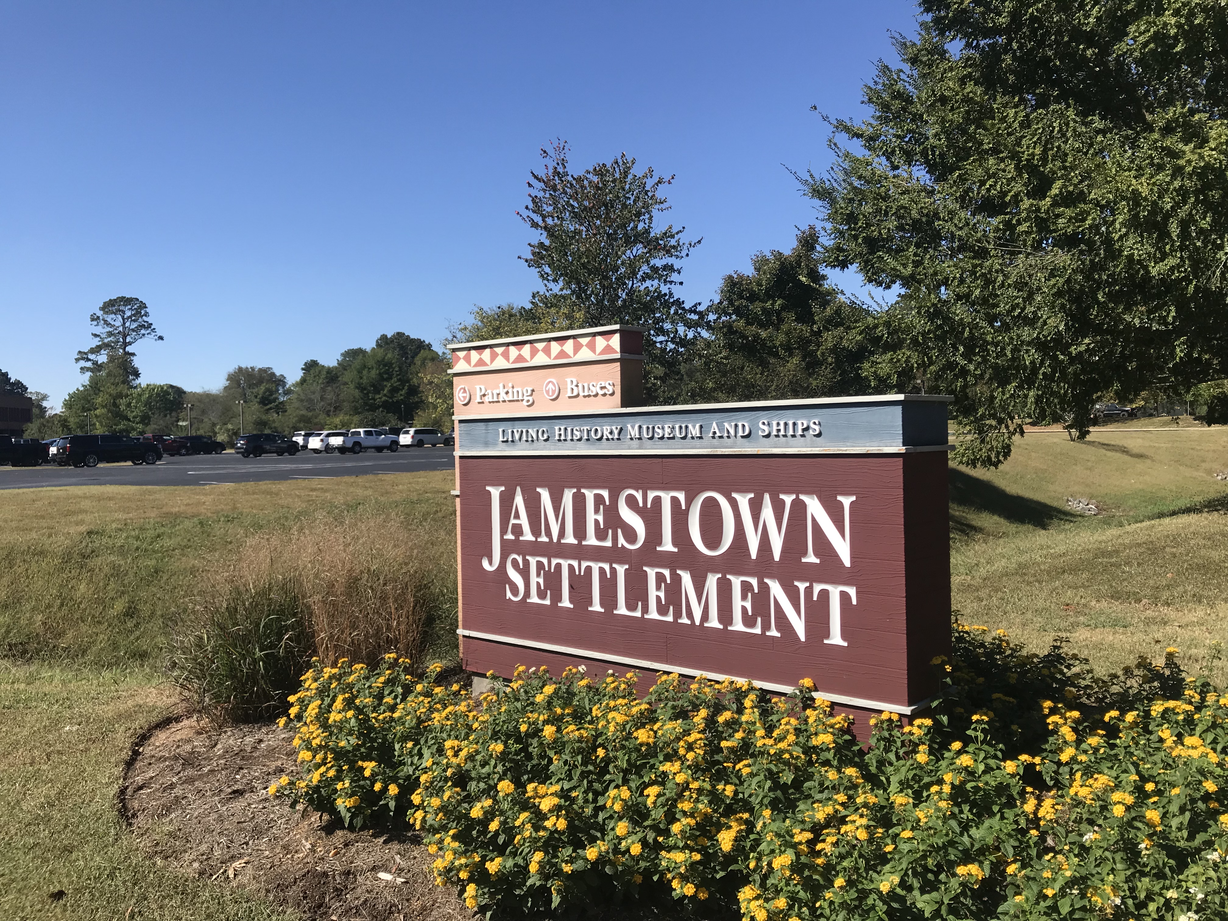
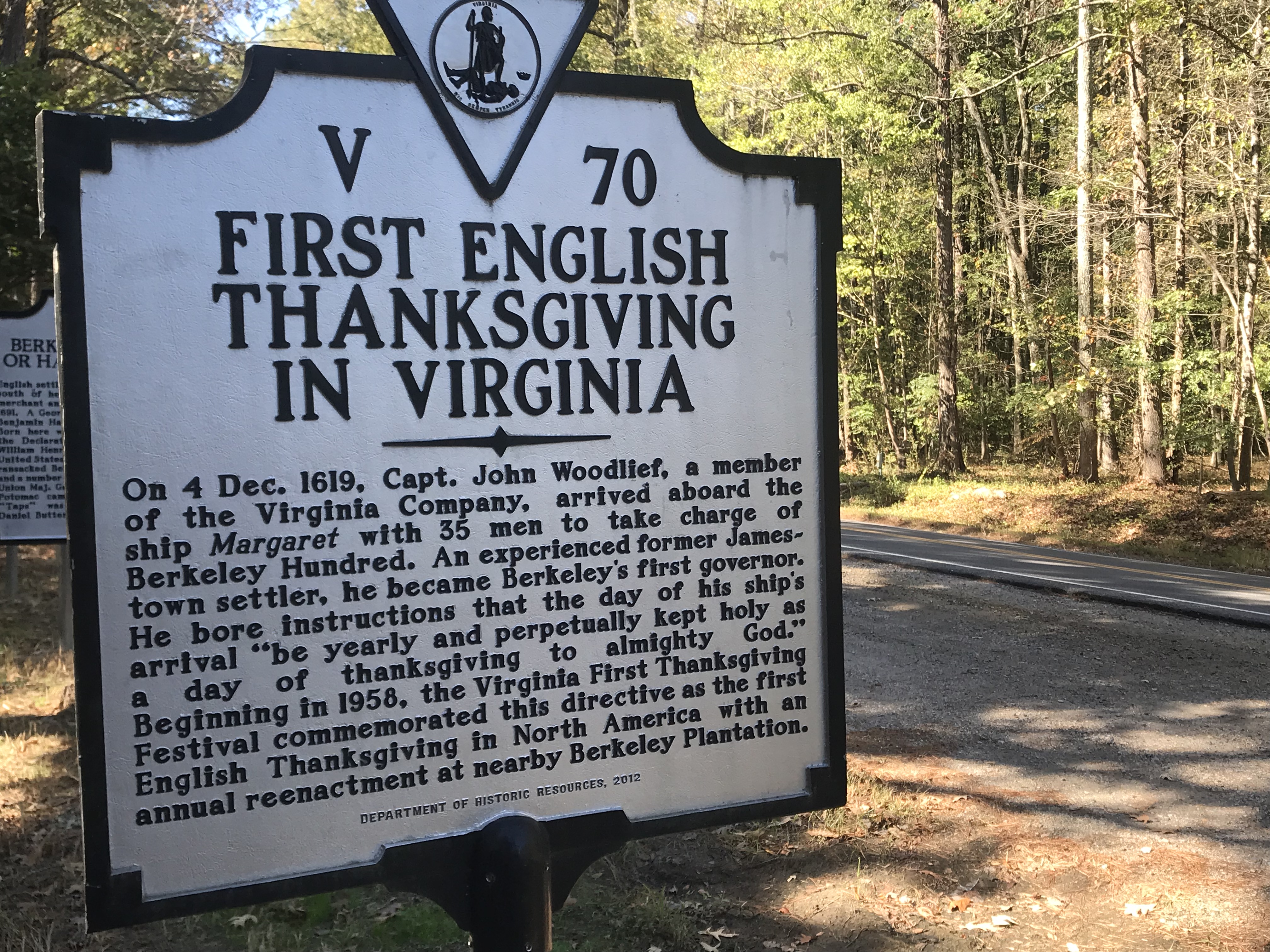
Arriving at Jamestown Settlement, I met Terry Moran. We would ride together the first 13 miles of the Virginia Capital Trail before he would turn around and go back to his Williamsburg home.

Terry Moran

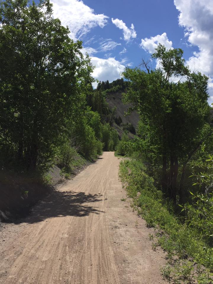
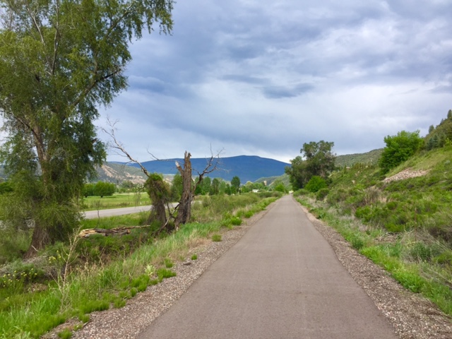
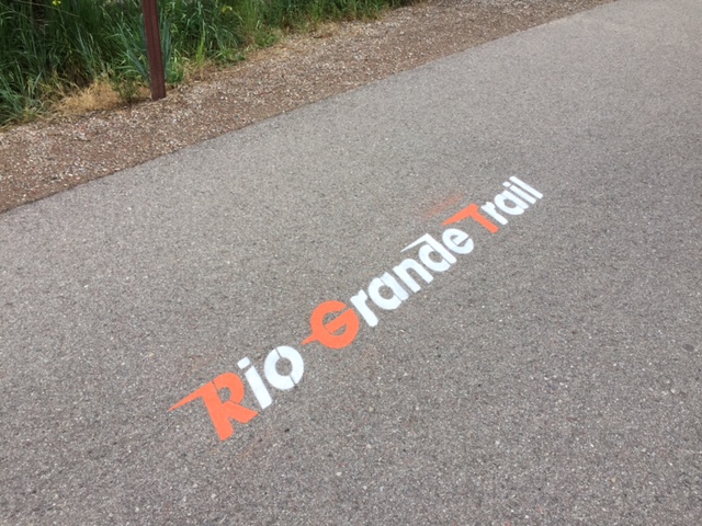
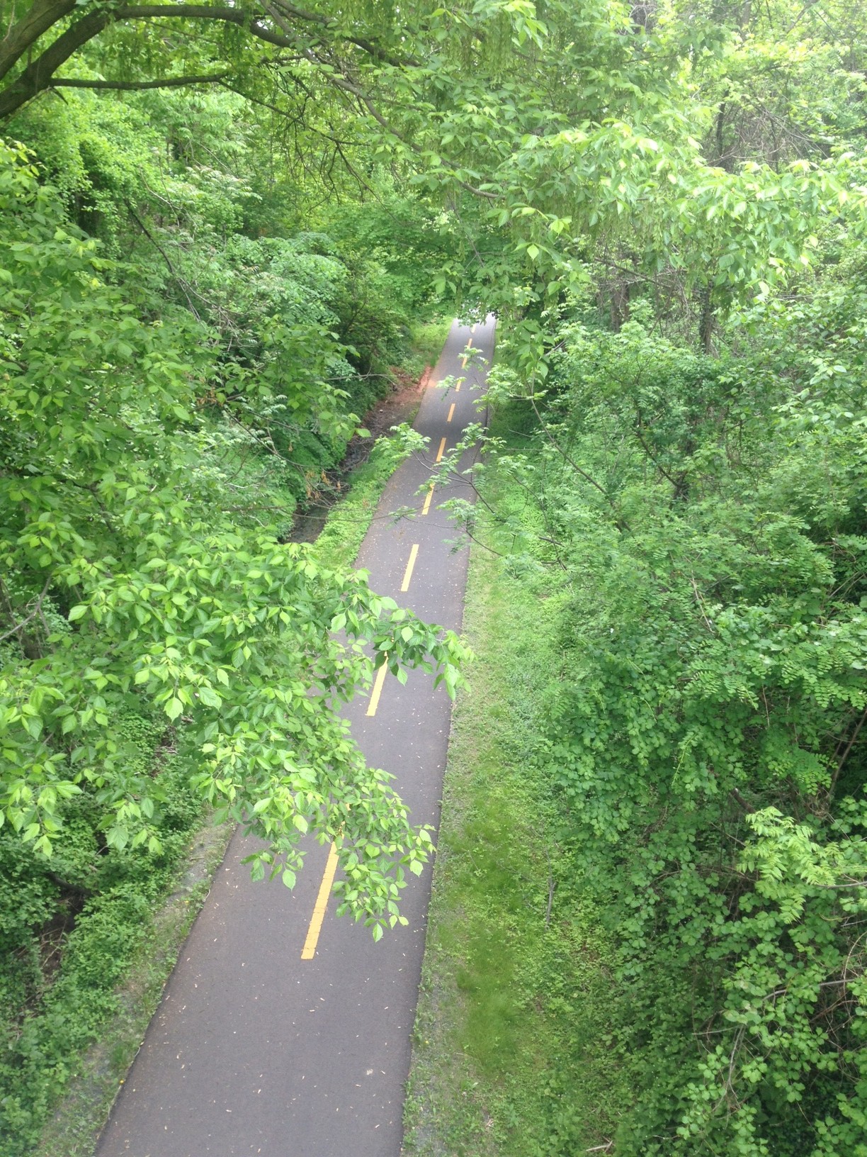
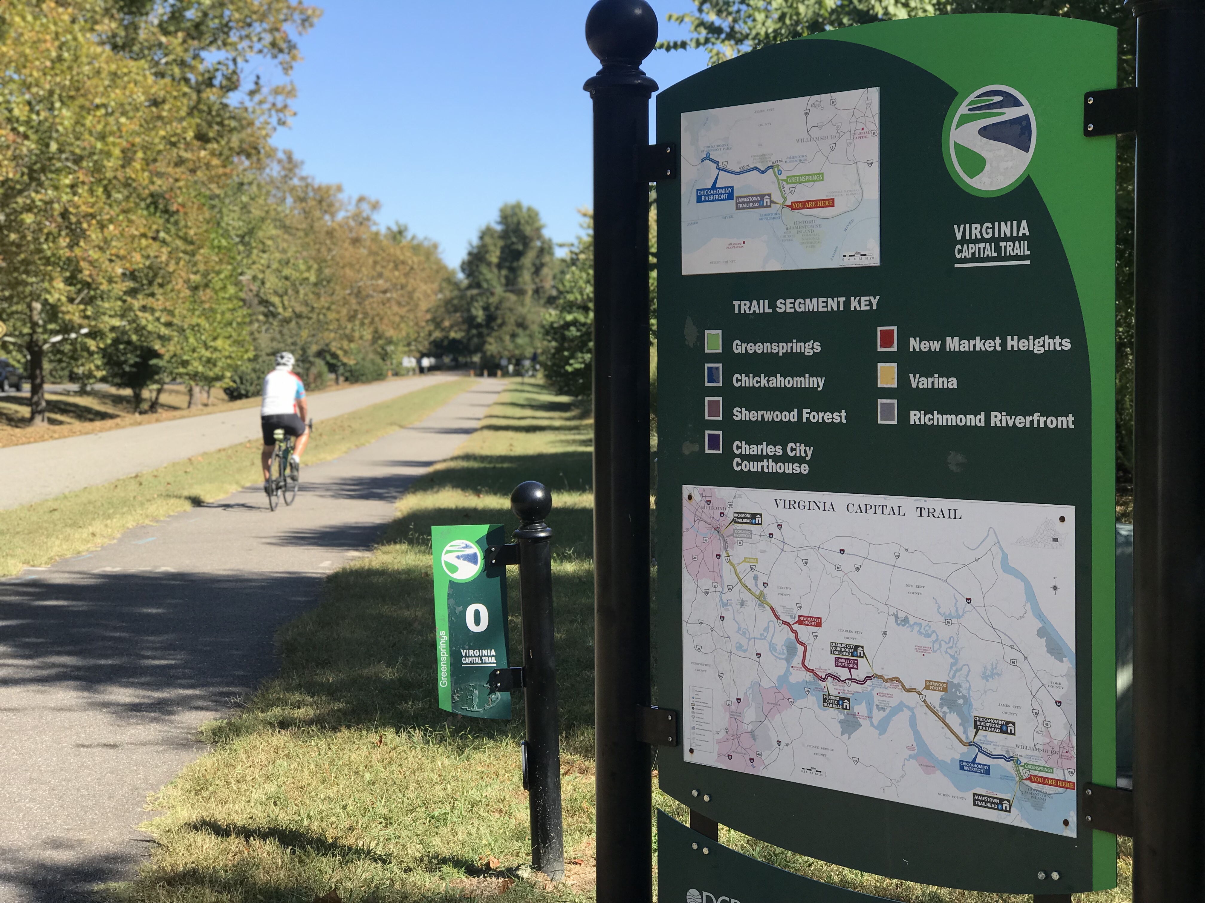
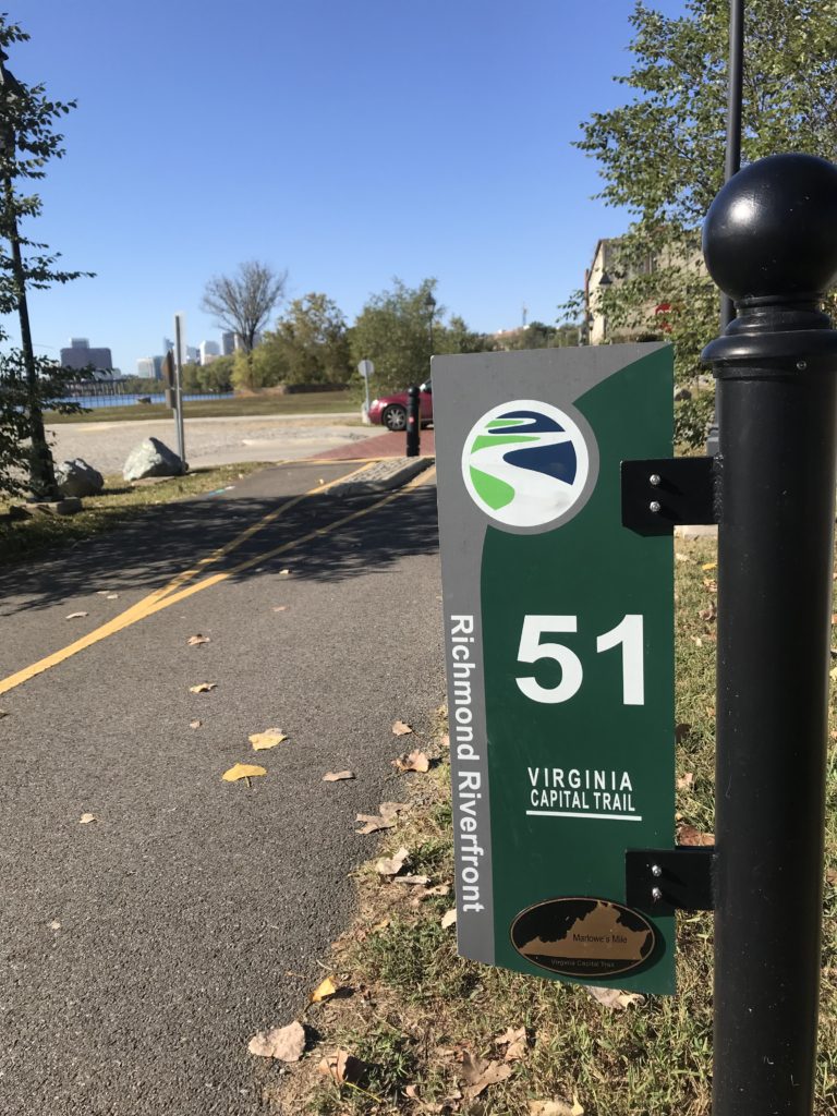
The trail begins here and is a 51-mile bike trail from Richmond to Jamestown. It is 98% trail with two small portions at Charles City diverted to the street as well as one section of about 1/4 mile near Richmond.

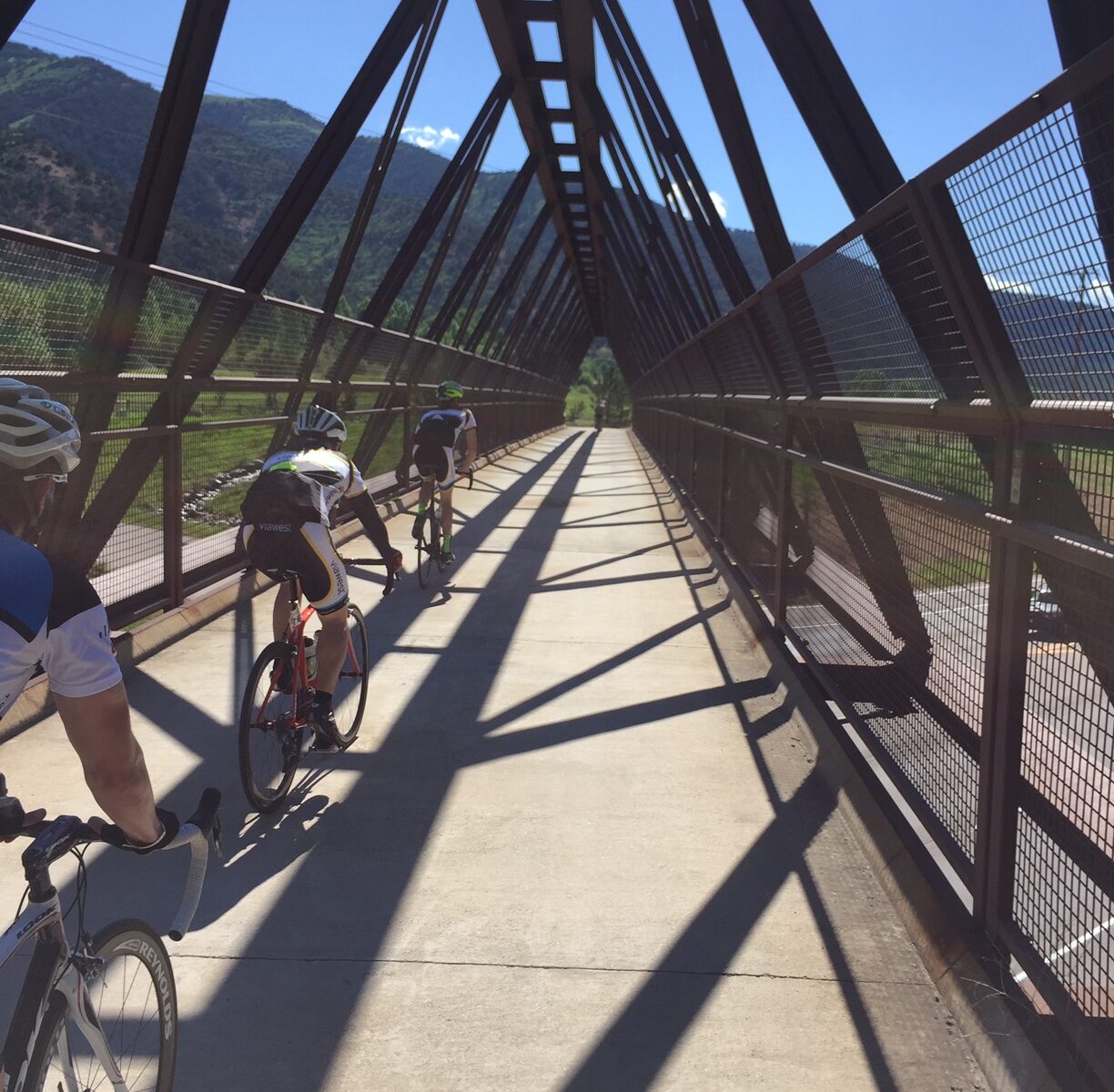
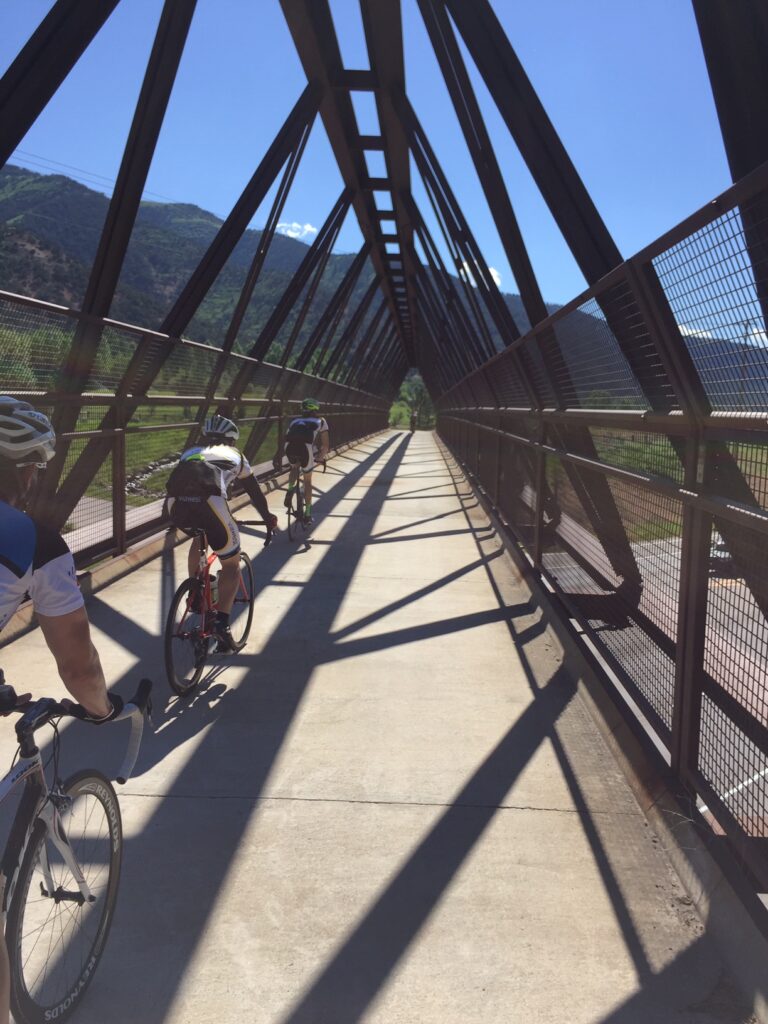
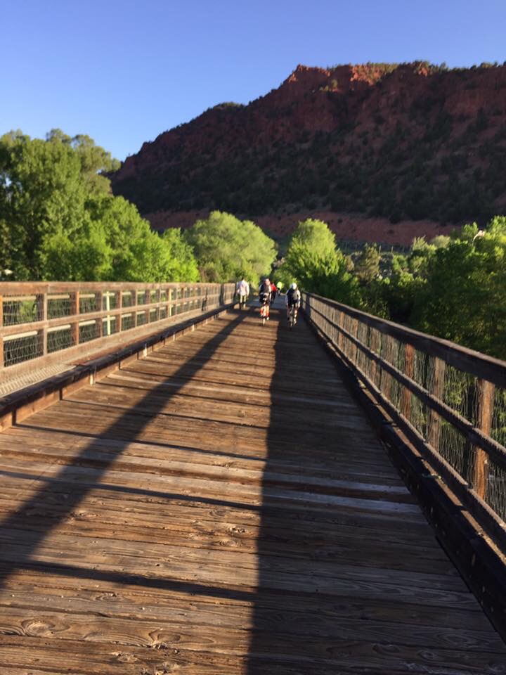
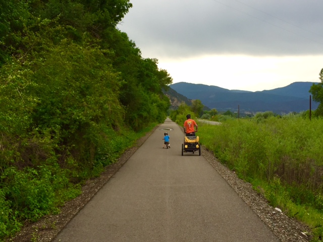
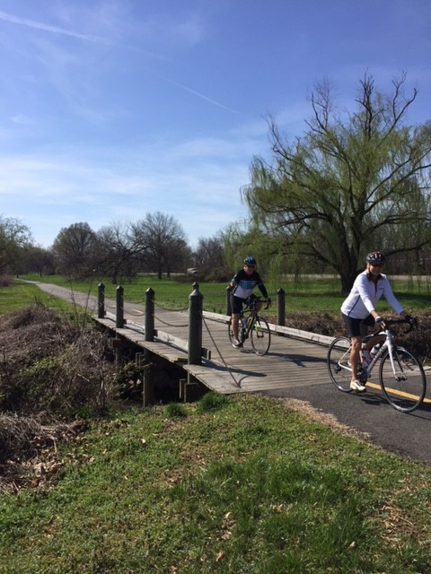
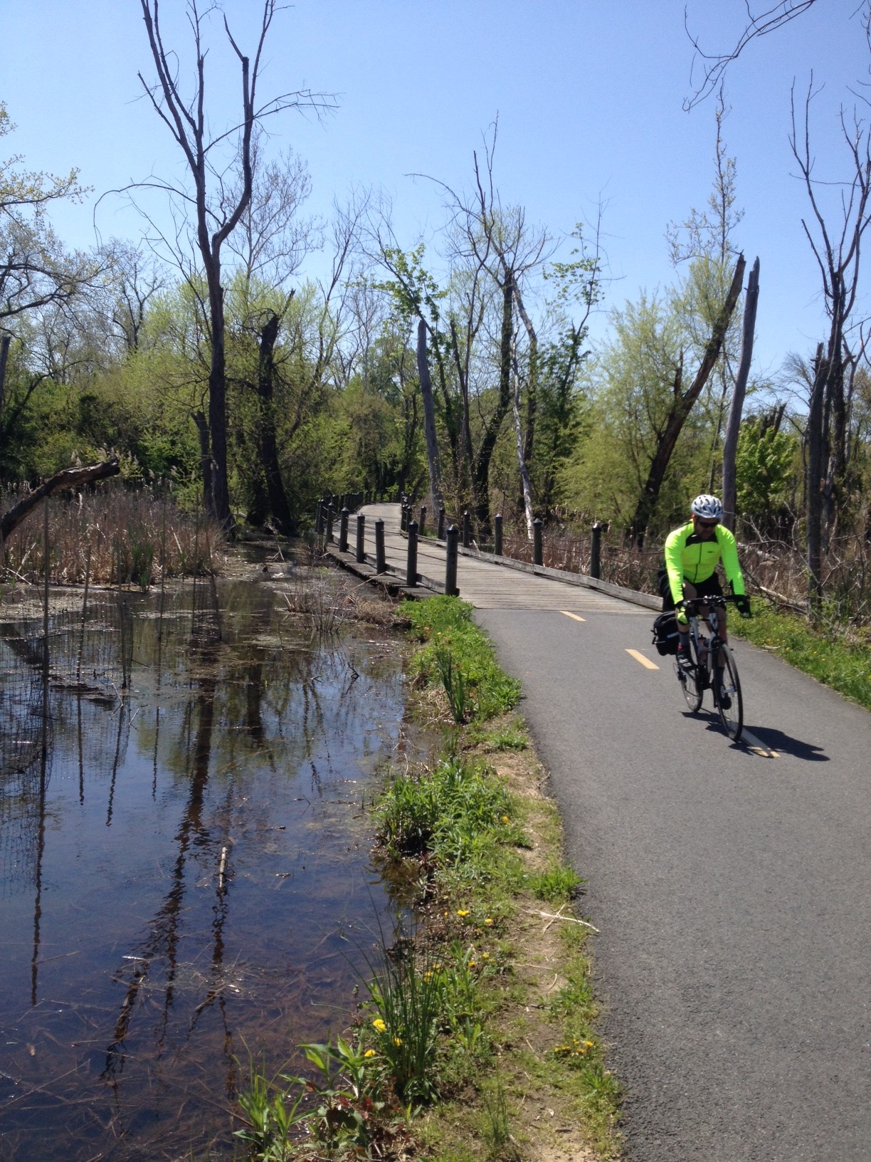
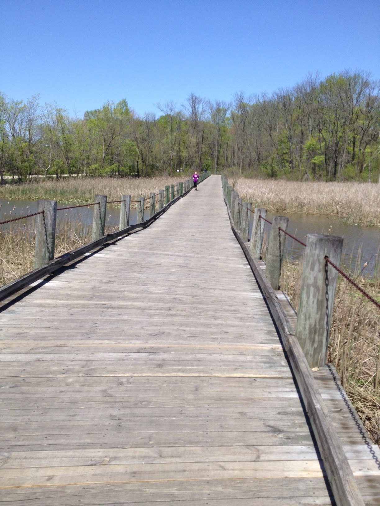
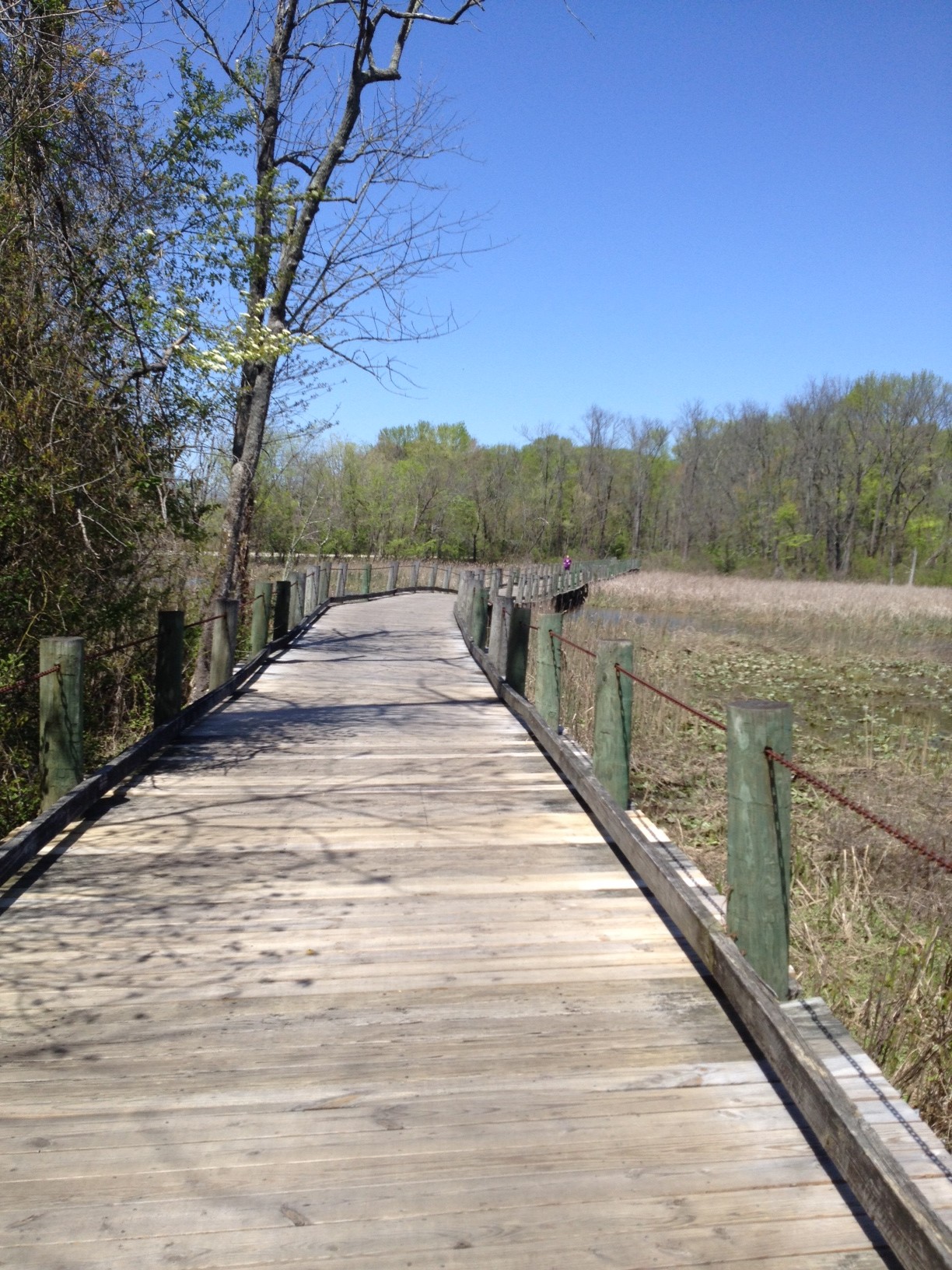
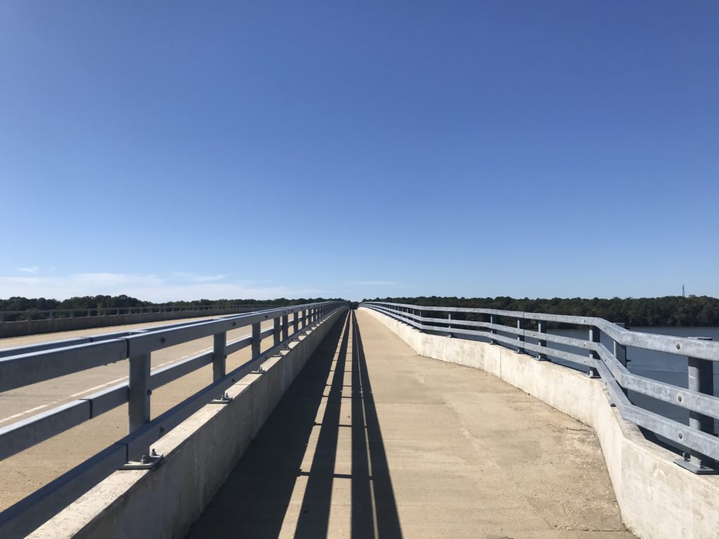
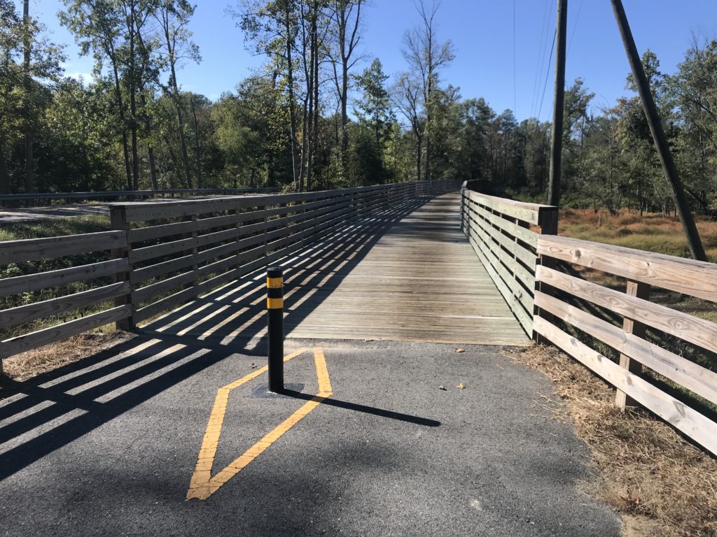
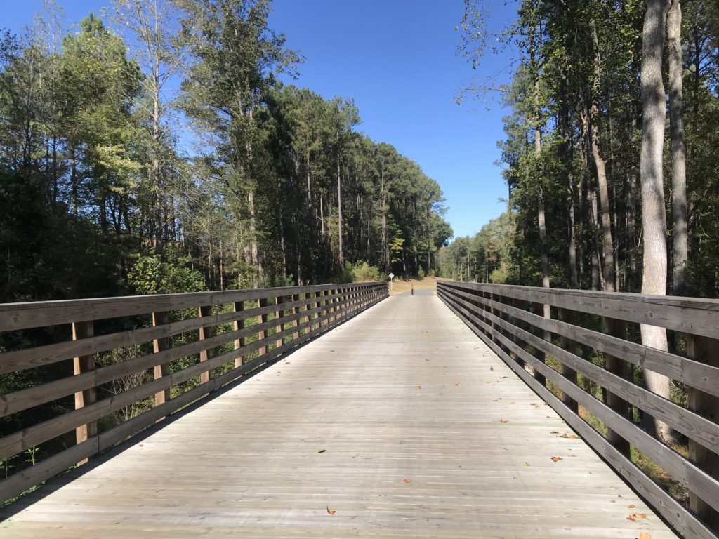
If you love wooden boardwalks this is the trail for you. Every mile it seems you cross one of the bridges. All are in great shape now but wonder if they will hold up in 10-15 years. But enjoy them now. They are great!

Terry rides into the distance

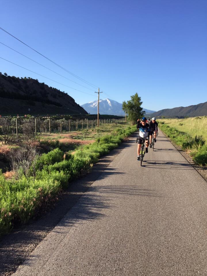
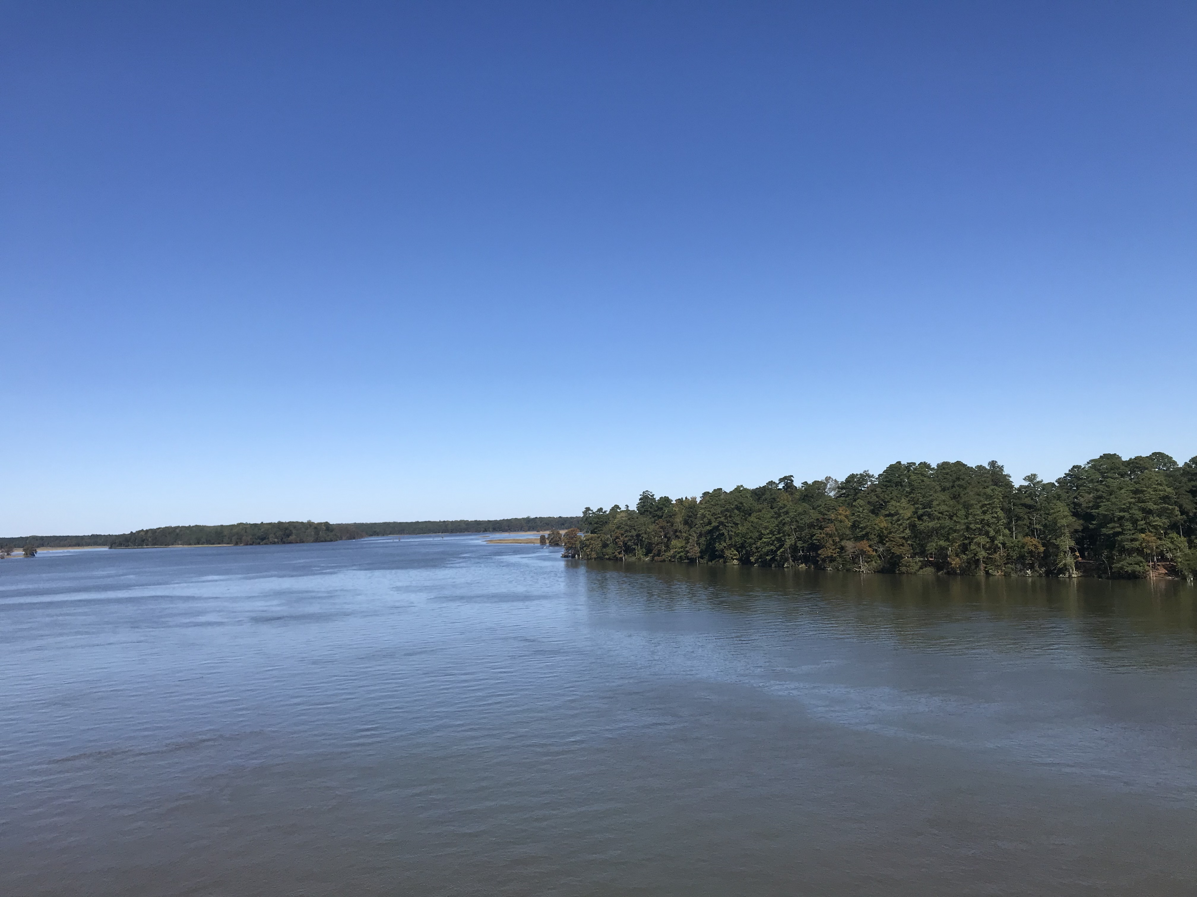
The eastern section is pancake flat. It is situated in the Middle Peninsula section. It is wooded with its share of wooden bridges as it follows Rte 5.

Chickahominy River

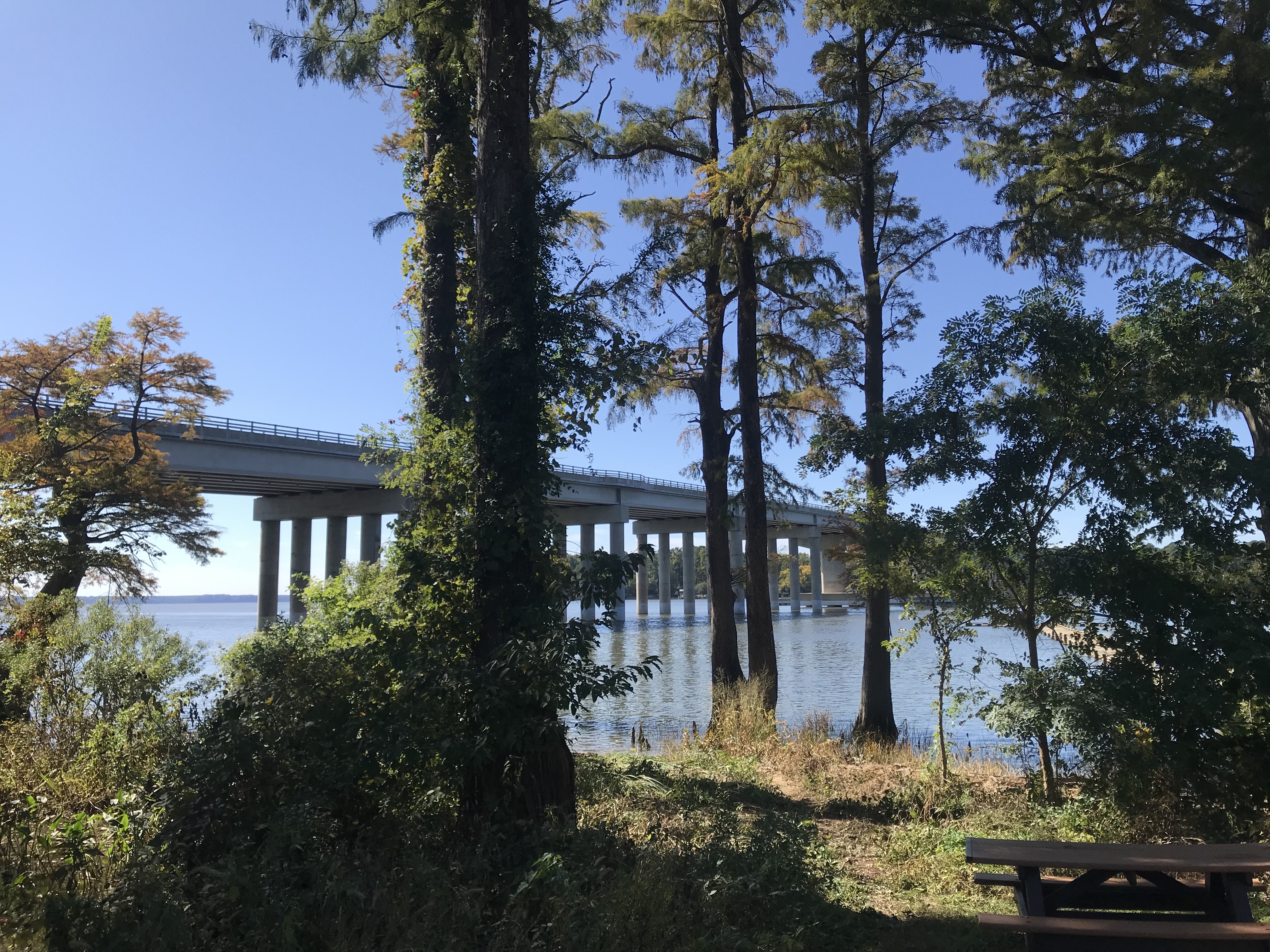
At MP 6 (or 7) the trail crosses the Chickahominy River. There is a separate bike lane on either side or the cool kids can ride on the shoulder on the highway.

Crossing the Chickahominy River

Once over the bridge, the trail continues with Charles City being the next landmark. Charles City Courthouse is at MP 21. There are little to no amenities on the trail so grab them when you see them.

Chickahominy River

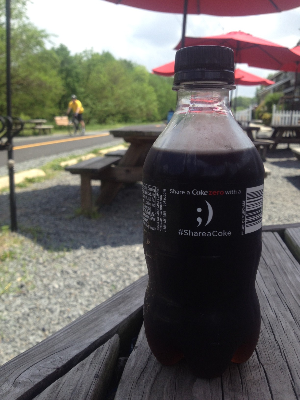
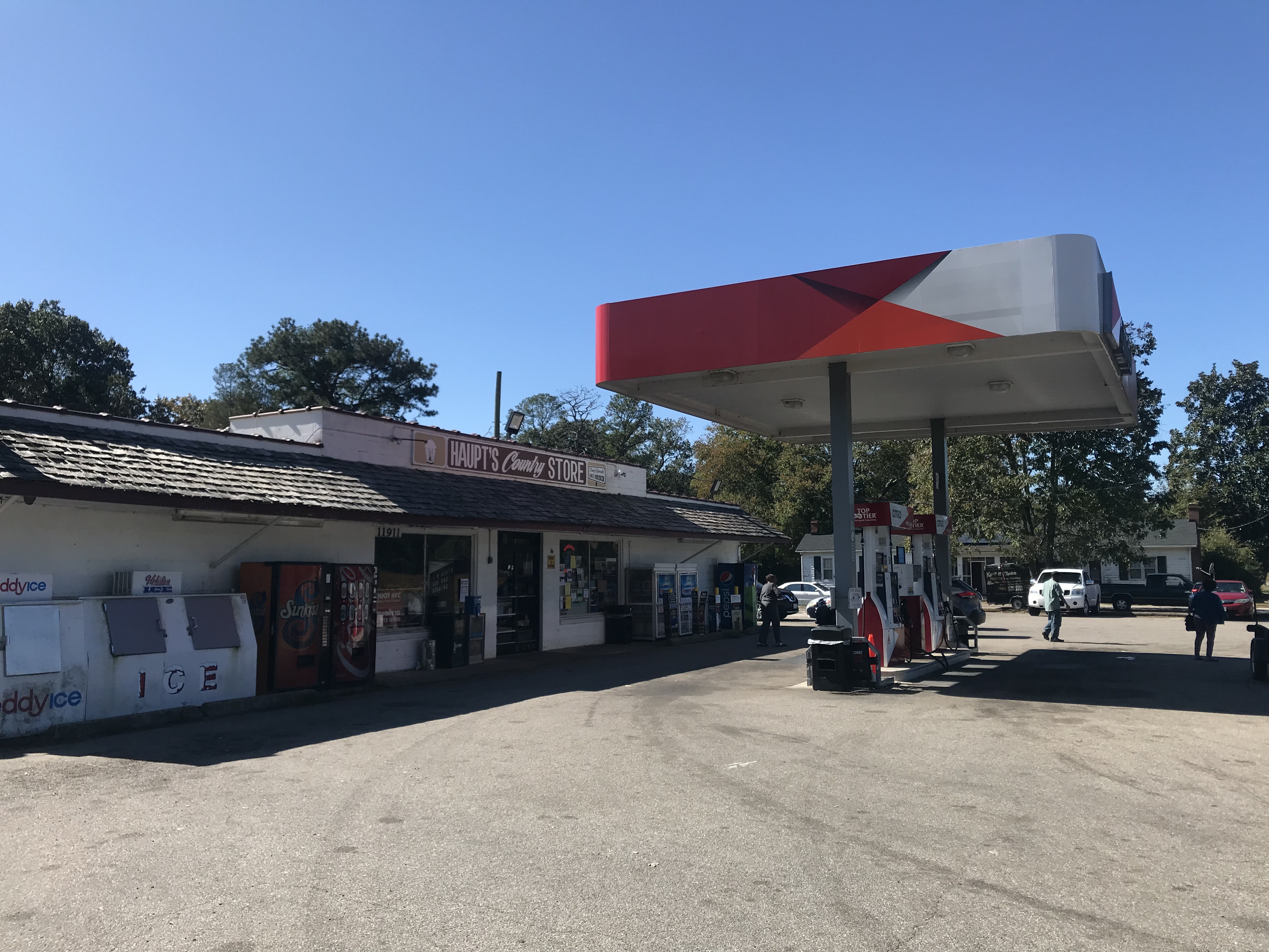
Terry had turned around at MP 13. He suggested to me that I stop at the Citgo service station at Charles City – for their fried chicken. I came to Haupt’s Country Store and at first, kept going. But then I smelled the chicken and went inside. Chicken by the piece was $2.65 for a breast and roll. It was good but there was no seating area, not even a bench outside.

Haupt’s Country Store

At Charles City, the trail disappeared into the street for a couple hundred yards. I passed Cut’s Courthouse Grille and saw some bicycles parked outside. That is your restaurant option if you want sit-down. At the Citgo Station, I stood next to a trash can.

Did you know this?

After Charles City, I entered the plantation area. Shirley. Berkeley. Sherwood Forest.

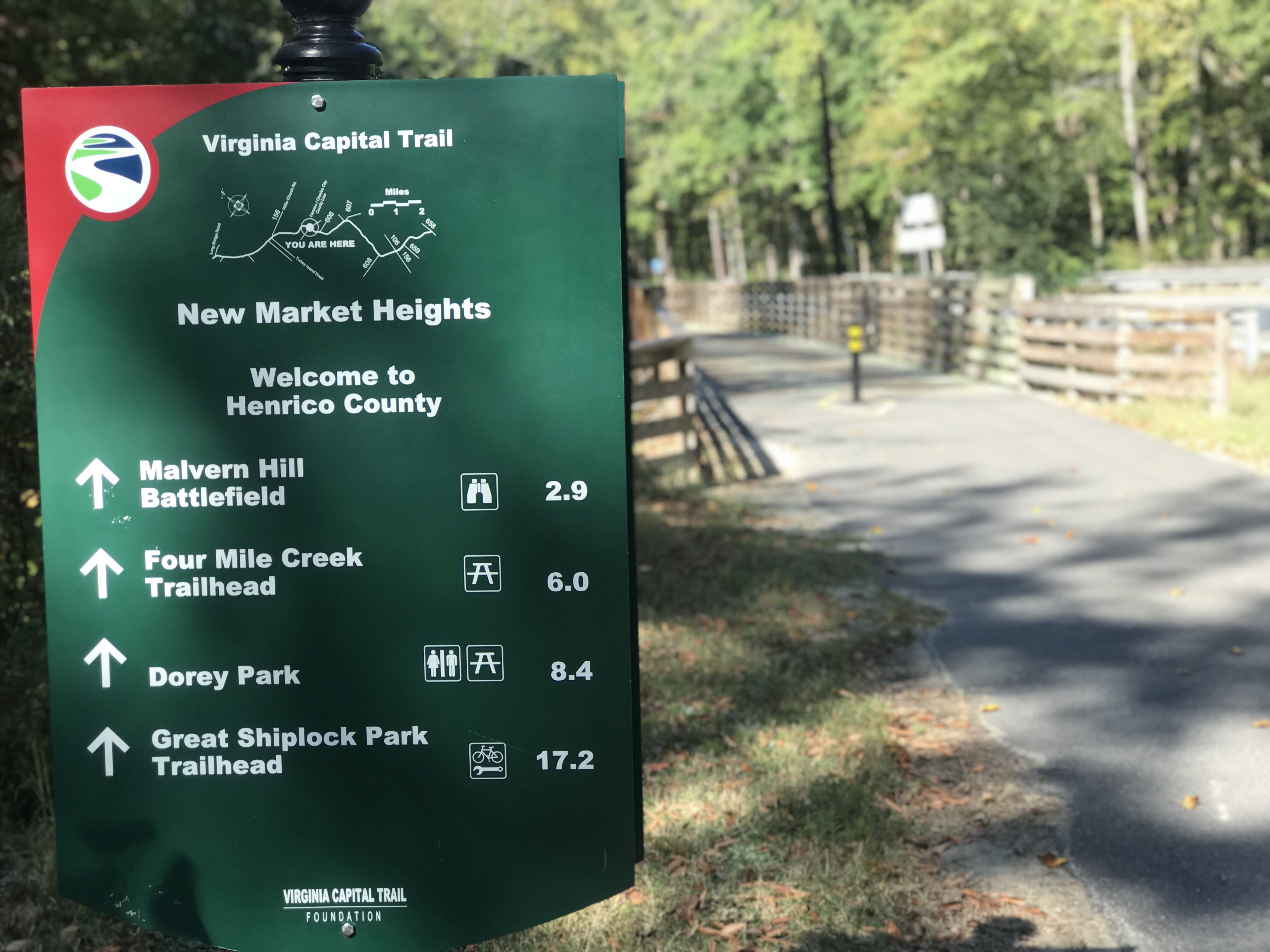
Once in Henrico County, the trail went from flat to rolling. The rustle of dried leaves cracked beneath my tires. It was still wooded in many sections and the Fall leaves were covering the trail.

Another bridge – all are in great shape

Fueled by my piece of chicken, I averaged 17 mph from Charles City to Richmond. My time at either end, Williamsburg and Richmond, slowed my average speed as I was site-seeing in Williamsburg and climbing Libby Hill in Richmond.

Four-Mile Creek Park

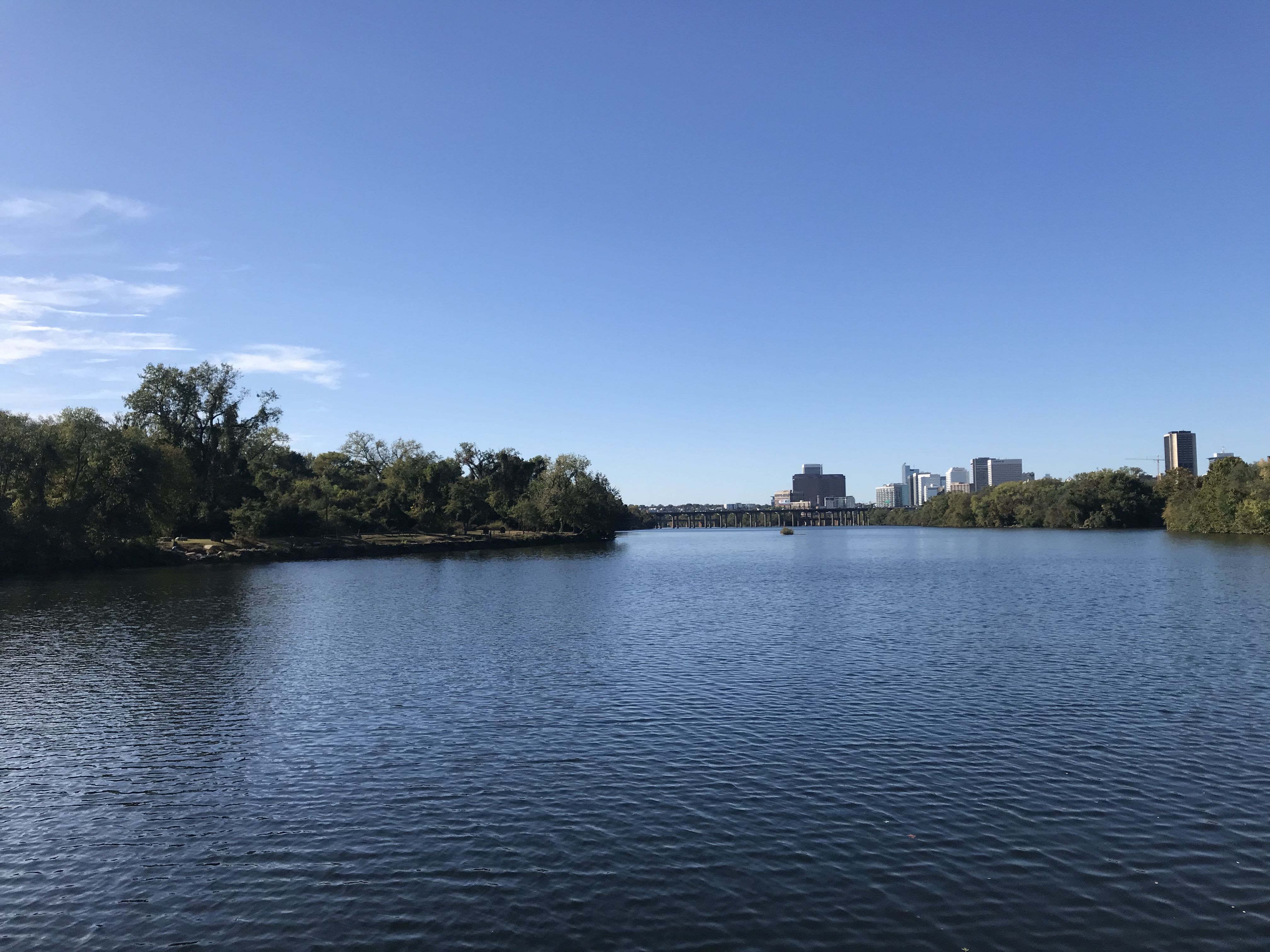
As I got closer to Richmond the trail became familiar to me. I stopped here in April and had ridden part of this before.

The trail goes under I-295 and is the only place there is considerable road noise.

Mile 51 in Richmond

As I got close to Richmond, I remembered some of this trail from having ridden it four years ago when I volunteered at the UCI World Championships. But some of it was also new to me.

James River, Richmond

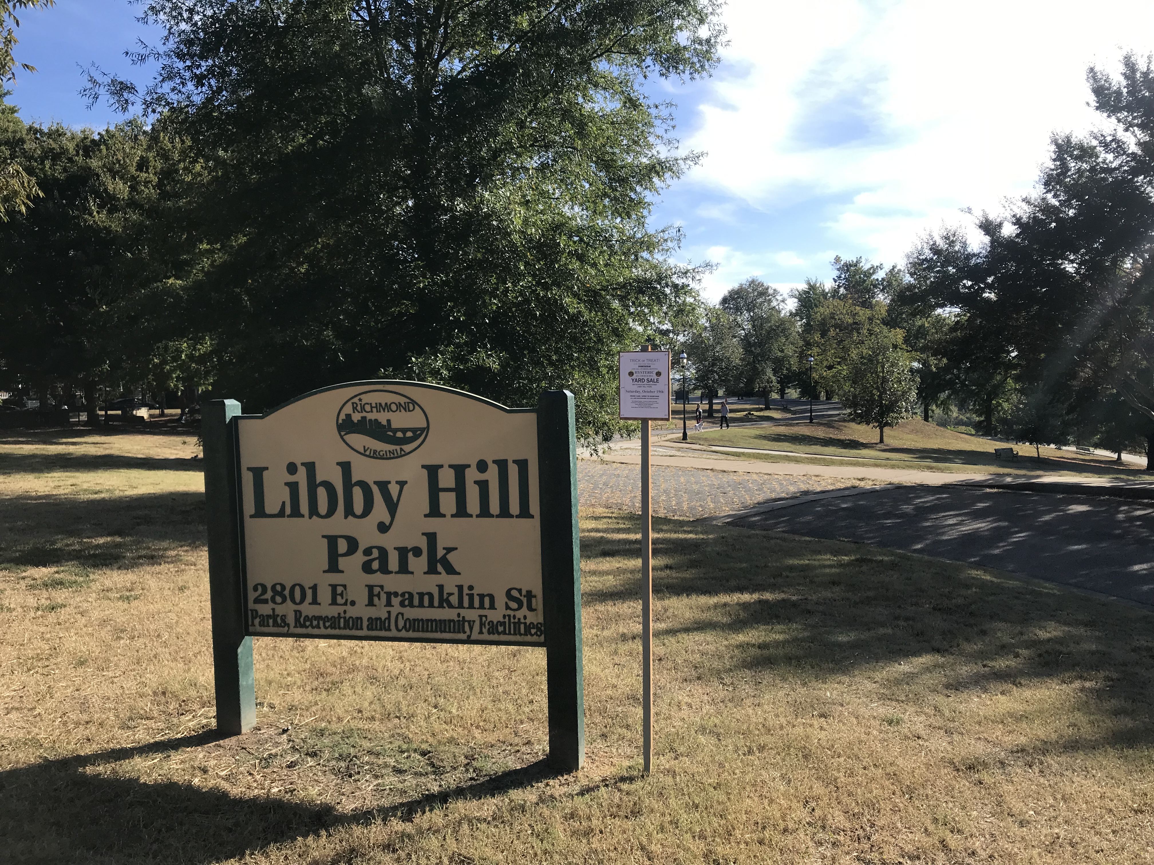
Rather than finish the last quarter-mile of the trail, I turned off it to go up Libby Hill and find where I was parked. At Libby Hill, there was a chain across the entrance. After 10-15 seconds of thought, I decided that was for automobiles. There was an opening for a bike and I rode up the famous Libby Hill – as I did three times last month.

The cobbles on Libby Hill

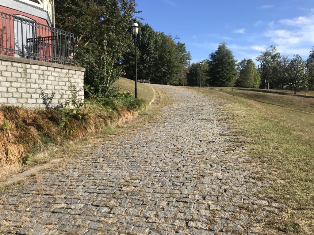
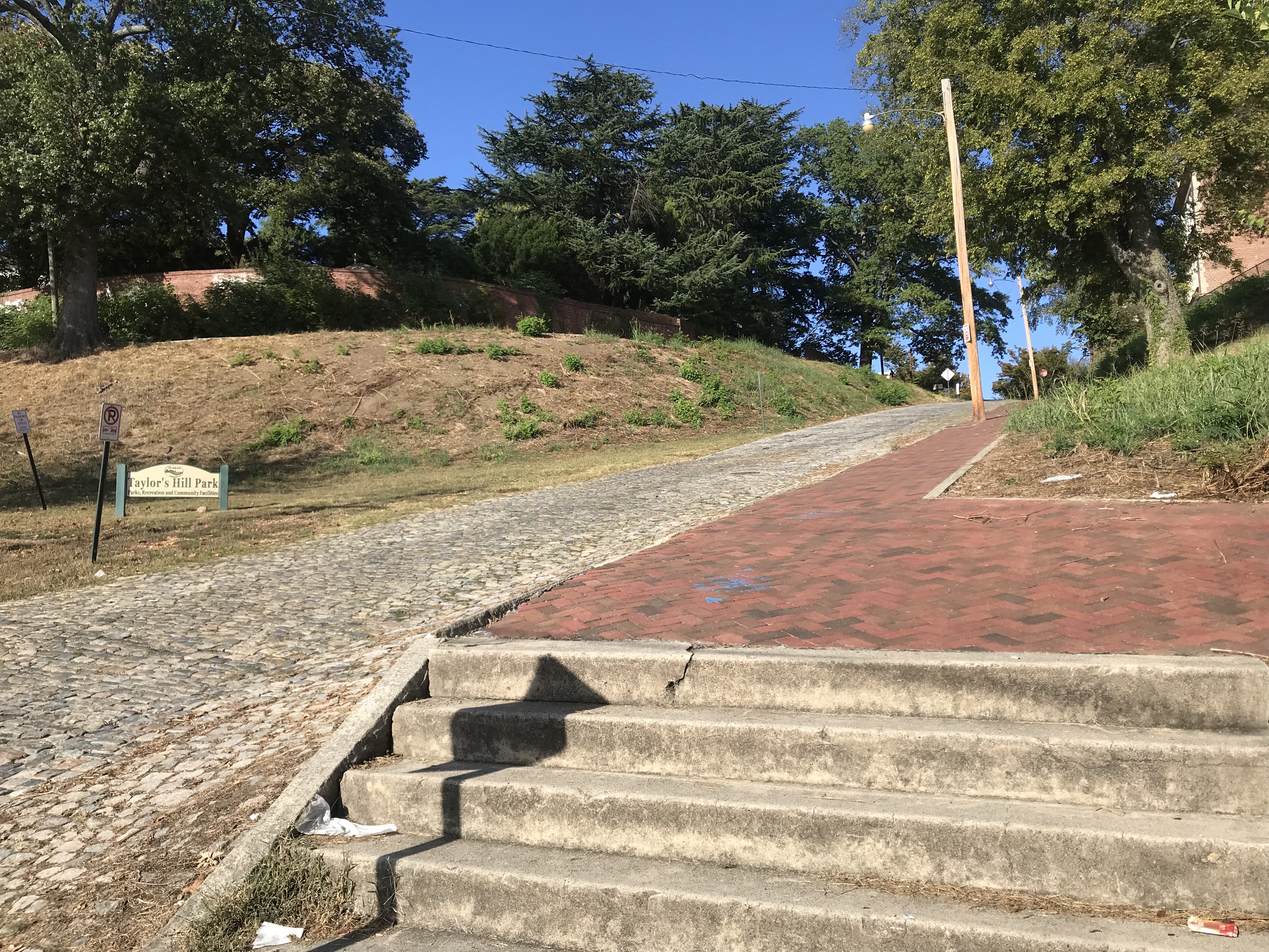
At the top I needed to find my way to my car. I was on Richmond Hill and the street where I parked, Grace Street, did not continue because of a cliff.

sN. 23rd St is a cobbled street that looks to be 12% grade going down. I decided not to ride down it, afraid of my traction while bouncing on the cobbles. The sidewalk presented a good option and I carefully went down the sidewalk. However, at the bottom, it becomes steps.

Richmond Hill – It’s steep – need steps

It was a 60-mile day. It was a beautiful day. I would recommend this again although I would think I would like to add the Jamestown Ferry as an option and ride on the south side of the James to Rte 156.


Fort Collins

FORT COLLINS, COLORADO

On its sixth and final day, RTR will return to Northern Colorado with their eyes set on Devils Gulch and Horsetooth Reservoir; a stage originally planned for 2012 but rerouted by the High Park Fires. Cyclists will enjoy a 55-mile trek through Larimer County, touring the vibrant communities that not long ago were hammered by relentless rain and devastating floods. Now, standing tall as ever; a testament of community, will and grace; these towns are primed and ready for a parade of cyclists. The week will draw to a close as 2,000 friends – new and old –reflect and rejoice at Odell Brewing Company in a little town we fondly call Fort Fun!

One week goes by too fast. Hard to believe this is the last day of Ride the Rockies.

I left the Comfort Inn and went back to RTR headquarters. I noticed a number of riders were just jumping on course and going without going back to RTR headquarters, and who could blame them? But I rode uphill and went to the official start line, not to be pure in my ride but simply to meet my riding partners.

David and Christine were at the start. I sort of ignored the actual profile believing, as I told them, that we had a 20 mile downhill followed by a mostly flat run-in to Fort Collins. I was partly right. We had a 20 mile downhill.

RTR16_6_01
Looking at Estes Park with the Rocky Mountain National Park in the background.

We rolled down through Big Thompson Canyon. It was here in 1976 that a flash flood killed 143 people. The canyon is gorgeous and made for a nice descent to Loveland.

It was a perfect ride except when we were in the lowest part of the canyon. At first it appeared the highway department was doing some road work but it became more apparent that a truck hauling asphalt came by and was dropping asphalt. There was a stream of asphalt in the west bound lane. Although we were going east, the cars were trying to avoid it and black tar covered pebbles were flying towards us in our lane. Yuck.

RTR16_6_02
Big Thompson River

We turned on Buckhorn Road for a back road ride to Fort Collins. I expected a flat or maybe “lumpy” finish. This was anything but that. We stopped at Aid Station 2 where Christine caught up with her brother, Don, who joined us for a bit.

RTR16_6_08

We came to the Horsetooth Reservoir. There were three sections that appeared to be spillways but I think they were just dam retaining walls. All were close to the water and then featured a neat little climb up away from the water.

The last climb of the week

These were some of the steepest grades we had all week. Many people were walking. (Not us, of course.)

RTR16_6_03

But what comes up .. must come down. On the last hill, I saw a really nice descent. I let it go. I was quickly up to 51 mph, my top speed of the week when I saw a 35 MPH speed limit sign and two policemen. Oh well. If they were busting cyclists on this descent they had me. I just got down lower in my tuck and rolled by. And waved.

Random finishers

The roll in through Fort Collins was nice. This is a very pretty city. We continued to O’Dell’s Brewery where the finish line festivities were being held.

RTR16_6_05
This guy was on a bike all week (hand-cycle). Impressed!

My car was in a lot next to the finish. Had I had my keys with me I could have put the bike away. Instead, I had to retrieve my luggage from Alpine Cycling and take all of it to the car. Then I went back for Terry Moran’s bike. He had gone home on Tuesday but Alpine moved his bike to Fort Collins so I could take it home.

RTR16_6_10
A hotdog, or bratwurst, to celebrate

After the ride I searched out the Smoothie folks for one last Smoothies. I found a Polish Sausage to celebrate then waited for the closing ceremonies. I didn’t win the bike but heard some facts about the ride: Youngest rider was nine; Oldest was 82. Every state except West Virginia was represented. Ten countries were represented as well.

RTR16_6_11
We crossed the finish line together

Throughout the week we passed some amazing cyclists. I saw a blind cyclist – hopefully he was stoker on a tandem. There are always some hand cyclists, often with Ride to Recovery. There is a guy I met two years ago who has no hands – just prosthetic hooks. Since he can’t brake using hands, he has a “butt brake” where he slides back on the saddle and it applies pressure on a bar connected to a braking system. Then there was “Tim.” He rode a recumbent hand-trike. No legs, and one functioning arm plus as prosthetic arm. Absolutely amazing.

RTR16_6_06

It was a good week and a good ride to end the week. Let’s do this next year!


Aspen

ASPEN, COLORADO

This year’s tour starts in the shadow of Mt. Sopris and the charming community of Carbondale; a small town with big views surrounded by ranchlands and unending Colorado sky. The 50-mile day will treat cyclists to Missouri Heights – perched on a bluff – then meander along the Rio Grande Trail en route to Aspen.

It was 46° when Terry Moran and I rolled out of Carbondale at 7:00 a.m. We picked up the Rio Grande rail trail and followed it along the Roaring Fork River for five miles.  I told Terry I would commit to riding with him only on the last day to ensure that he made his flight. He said he figured as much as the climbs would separate us.

image
On the Rio Grande Rail Trail

We turned onto the first climb and Ride the Rockies was officially underway.  It was the last I would see Terry. The air was thin and I was breathing heavy. But I felt good enough to roll past Aid Station 1.  I caught a guy wearing a “Five Borough Ride” jersey and we talked all the way to station 2.

image
Terrance Moran at Ride the Rockies

It’s a funny thing about talking to people on the road. Often it is without introduction or names. If you roll into a rest stop together, as we did, there may or may not be an expectation that you roll out together. In this case, I lost my mark.

RTR16_1_01
The Rockies in the distance

Leaving the stop I had a brief conversation with the people at the Davis Phinney Foundation for Parkinson’s. Once back on the road we had a pretty good descent which led us back to the Rio Grande Trail.

RTR16_1_02
Aid Station 2

The trail splits the Roaring Fork Golf Course. I stopped for 10 minutes to talk to one of the guys at a cart path intersection.  He told me this is a private course and hard to get on to. He also stated that Lance Armstrong comes out to play occasionally.

image
Splitting Roaring Fork Golf Course

Eventually we were directed off the trail back to a road. A road which seemed to never stray far from the trail. Briefly I was with a man from Washington and a woman from Charlotte. But I noticed the trail and road never really separated. I told them I was going to jump back on the trail. It was more pleasant (no traffic).

RTR16_1_03
Riders coming through Roaring Fork Golf Course

Except for once when I jumped back onto the road to Aid Station 4, I just stayed with the trail. I didn’t stop at the station but went through it to pick up the trail again. Then we started to get serious separation. The trail climbed higher while the road stayed next to the river.

RTR16_1_05
The Wanderer

I met a cyclist coming from Aspen. Fully loaded. He said he was just wandering. He started in Tucson but couldn’t find a campground in Aspen. He thought he might head to Canada but really just wanted to know if he could buy a beer in Carbondale.

RTR16_1_06
Rio Grande Trail near Aspen. Dirt.

I stayed on the trail thinking I was doing better than everyone else. Then it turned to dirt. Oh well. It was only 2-3 miles into Aspen.

RTR16_1_08
Don Sheppard

Riding into Aspen I looked over and saw Don Sheppard on the road. I first met him in Italy two years ago.

RTR16_1_07
Micha and Neil

Once I reached the school I checked in with my friends from the Davis Phinney Foundation for Parkinson’s. While there seeing old friend, Lauren Hunt, two cyclists rolled in I had met this morning at the hotel. Micha and Neil had ridden the Sellaronda last year so we chatted about the route.

RTR16_1_11
Bike Corral in Aspen

I went to the hotel, the Limelight Hotel. It was 11:30 a.m. and my room wasn’t ready. I then escorted two cyclists back to the school/headquarters. I went back to check on the room. Still not ready. This time I went to eat. I found CP Burger. While I was waiting I heard the name Lance Armstrong called. When I ordered the young man told me when my order was ready they would call “Sidney Crosby.” I took that as an omen. The Penguins would win the Stanley Cup tonight.

RTR16_1_09
My receipt, not Sid’s – an omen before the Pens would win the Cup

The cycling seminar featured the real Lance Armstrong.  It was a Q&A session with tour host, Ron Kiefel. It was a full house. Lance said his only regret was the way he treated people. He wished he could do more with cycling, but he’s banned. And he worries about the Livestrong Foundation.

Lance Armstrong and Ron Kiefel

When asked about tomorrow’s route over Independence Pass, Lance called it “easy.” People laughed. He further explained that if the pro peloton rode it, the sprinters would stay together in the peltoton over the top. Easy for the pros.

Lance said he owed an apology to each of us; those who defended him over the years. But he didn’t stick around to talk or apologize. That’s Lance.


Carbondale

CARBONDALE, COLORADO

The day started out beautiful. Terry Moran and I left our hotel in Brighton, Colorado for the one-hour drive north to Fort Collins for the start of my 4th Ride the Rockies.

RTR16_0_01
I-70 (by bus) in Glenwood Canyon

Arriving Fort Collins, we were directed to a parking lot across from the Odell Brewing Company, which was the official ending point of RTR. We loaded our bikes on a truck and then boarded a bus for transport to Carbondale, the official start town of Ride the Rockies.

RTR16_0_02
I-70 West

The bus headed south to Denver then picked up I-70 and took that west. We had secured front-row seats on the bus and had awesome vistas. I had traveled as far as Idaho Springs before but that was the farthest west I had been on this highway.

RTR16_0_03
Carbondale, Colo.

This was my first time through the Eisenhower Tunnel and the view was spectacular. We went over Vail Pass and I was marveling at the bike path that was sometimes next to I-70. We followed I-70 through Glenwood Canyon, truly an engineering masterpiece.

RTR16_0_04

Our route took us to Glenwood Springs which looks like a nice place to visit someday. We went through Glenwood Springs and made our way to Carbondale. The sunny skies soon turned gray.

RTR16_0_05

Logistically, Day 0 is always the toughest at RTR. We went to the registration tent and got our credentials. Then we took our luggage and boarded a bus to our hotel. After dropping the luggage off at the hotel and waiting 20 minutes for the rain to subside, we took a bus back to RTR headquarters and picked up our bikes. The rain had stopped.

RTR16_0_06

I’m not sure what happened next. I told Terry I was going to go for a bike ride although I wasn’t leaving from the school. I had a backpack that I needed to offload. I followed a trail down to the hotel, stopping at a Subway for a sandwich to take back to the room.

RTR16_0_07

With gray skies, I set out on my “explorer” route. I had studied some maps and had a general idea where I was headed but wasn’t entirely sure. I found the Rio Grande Trail which is a rail trail built on the old Denver & Rio Grande Western Railroad. It connects Glenwood Springs with Aspen and runs 42 miles.

RTR16_0_08

I followed the rail trail until it moved away from the main road. Then I jumped on the road and began climbing. I had planned to follow the road until I reach Crystal Springs Road but once I did I kept going instead. The road continued up and simply looked interesting.

RTR16_0_09
A view from Panorama Drive

I came to a road called Panorama Drive. Who would want to follow that? Me, that’s who. I rode that for about five miles until I was back at the entrance. I then turned and found Crystal Springs Road. What a wild descent that was. All fun all the time. It was five miles of nothing but downhill. Glorious downhill.

RTR16_0_10

Reaching Highway 82 I trusted my instincts and went left. Looking at a map later, right would have worked even better. But left got me seven miles instead of two back to the hotel. My instincts were a little off.

RTR16_0_11

This simply allowed me to retrace some of the earlier route although I was confused about why I ended up there. But more riding. Back at the hotel, we got ready for an early night with an early rollout in the morning.

RTR16_0_12

Lodging was at the Days Inn. Mostly good but the bathroom was extremely tiny. Ride the Rockies starts tomorrow!


Crashing the White House

WASHINGTON, D.C.

Nine hundred and ninety-one days. That’s the number of days it has been since I last crashed which was on July 3, 2013. I broke my collarbone that day.

Today was to be simple. Real simple. We got a call yesterday that a foreign exchange student on her way home to Denver was stuck in New York since Denver got hit with 18″ of snow. Could she come stay with us for a few days? We said yes to picking up Katrin Bunke from Germany and, as a bonus, her friend, Kaede Furusawa from Japan, too.

DEL_Brett09
Katrin on the Mt Vernon Trail

So what to do with two foreign exchange students “stranded” in the DC area? Go for a bike ride, of course. We had the added bonus of 80° (27° C) and the cherry blossoms at their peak. I asked Terry Moran if we could borrow a bike from his wife, Patty. He agreed. They agreed. We met Terry and Patty, picked up the bike then drove to Daingerfield Island for our adventure to see the cherry blossoms.

DEL_Brett13


We left the lot and rode to Gravelly Point, stopping to watch the airplanes fly over us, landing just a few hundred meters away. We made our way across the 14th Street Bridge and stopped at the Jefferson Memorial. As I was coming to a stop I saw Kaede stop and was talking to some students. These were her friends from the YFU trip in New York. They had added a Washington, D.C option to their trip but as it turned out, Katrin and Kaede got it for free.

DEL_Brett14
Cherry blossoms at the Tidal Basin

We rode up to the Lincoln Memorial where Patty and the girls walked up inside the memorial while Terry and I waited with the bikes. We then directed the girls to the Vietnam Memorial where they walked down and visited. We stopped briefly at the World War II Memorial then made our way over to the White House.

Katrin and Kaede
Katrin and Kaede

We circled the Ellipse and as Terry tried to stop for a photo-op he was directed by the Secret Service to keep on moving. So we all did. I came to the transition between street and sidewalk. And lurking there, unbeknownst to me, was a 3/4″ lip that was parallel to the street. As I turned my wheel it did not. I came crashing down on my left side, landing hard on my hip and elbow. Nothing broke but I had road rash mostly on my elbow. But my ego was shattered.

DEL_Brett16
Bike taxi

We went to the north portico of the White House so the girls could get a photo-op, which had been denied them on the south side. We then got on the bike lane on Pennsylvania Avenue and rode over to Ford’s Theater. We were hoping to get them inside but there was an hour wait.

DEL_Brett17
Outside the Lincoln Memorial

Checking the time we decided it was best to call it a day. We headed out, carefully maneuvering through traffic and people to get back over to the 14th Street Bridge where one could ride without the crowds. A 15 mph headwind actually felt pretty good the last four miles back to the car.

For the girls who aren’t used to riding, the sunshine and 25 km (15 mi.) was enough of a ride. For me, it was enough of a ride too. With bruises and road rash, well, let’s just hope it’s another three years before I hit the pavement.*


One of Those Clippy Guys

CLARKES GAP, VIRGINIA

I have been doing a series of rides with Terrance Moran, helping coach him to do his first 50-mile ride. We have been going at his speed, which is about 12.0 mph, as he gets comfortable in distance riding with clip-in shoes.

Today I was by myself and I wanted to ride to Clarkes Gap and back from Reston. It was warm, around 80°, and I took off. Unlike weekends, when I seemed to get passed by all the hammerheads, today I was only passed once.

Trail at Clarks Gap
W&OD Trail at Clarks Gap

After the Luck Stone Quarry, a young guy on a Time Trial bike came flying by me, and truth be told, scared me a little. He did not call out “passing” or “on your left.” Just head down, earbuds in. So I reacted like any sane, somewhat pissed off cyclist would: I jumped on his rear wheel and stayed there for the next seven minutes (two miles). He was annoyed and when we came to the stoplight in Leesburg he asked why I was drafting him. The real answer was “because I could” but I said, “Oh, sorry, I was just waiting to hear ‘on your left.'” Was that wrong?

At the top of Clarkes Gap I turned around into a slight headwind. After rolling through Leesburg I stopped for a candy bar at the Carolina BBQ restaurant on the trail in Ashburn. As I was walking out, making noise coming down the wooden ramp, an older woman, also a cyclist, said “you’re one of those clippy guys.” Laugh out loud. Yes, I guess I am.

May05
A little caffeine boost at Carolina Brothers

Back on the trail, I felt myself slowing down. I was supposed to have a tailwind returning but was going into a headwind. Once finished and uploaded the ride I was surprised I was four seconds faster coming back than going out. I swear I was slower. I averaged almost 17 mph, solo, on a relaxed day, which was a vast improvement over the 12 mph which I have been averaging. With Terry.


Mount Vernon Trail

MOUNT VERNON, VIRGINIA

Terry Moran recently got a road bike and was anxious to start getting miles. I started in Dunn Loring and offered to meet him in Alexandria at the Marina for a trip down the Mount Vernon Trail.

DELETEMV1
Terry on the Mt. Vernon trail

Still a bit chilly for late April, the temperatures were in the mid 50s.

DELETEMV5
Boardwalk south of the marina

This is a popular trail but not so much on a cool weekday. We didn’t have to dodge too many people.

DELETEMV6
Terry taking a break

The trail mostly follows the Potomac River although there are some beautiful stretches of boardwalk, mostly over wetlands. Boardwalks scare me ever since I crashed on one on this trail in July 2013.

DELETEMV2
George Washington’s Home
DELETEMV7
Terry

It is mostly a flat trail but close to Mr. Washington’s estate it becomes hilly. Not long but short steep little climbs.

DELETEMV4
Boardwalk south of Alexandria


It was a nice ride. Nothing epic but great scenery. And Terry only fell once – when we approached an intersection the same time as a BMW. He panicked as he unclipped and fell over in the grass. The driver, a beautiful woman, and I laughed.


Verified by MonsterInsights