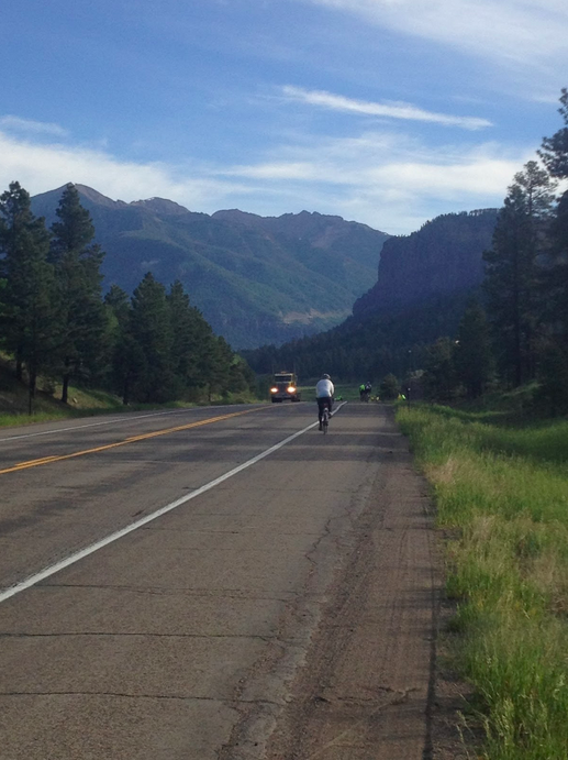
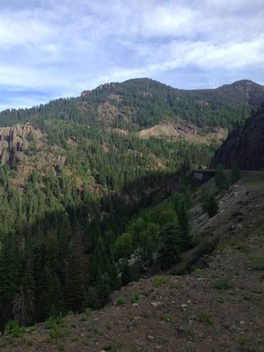
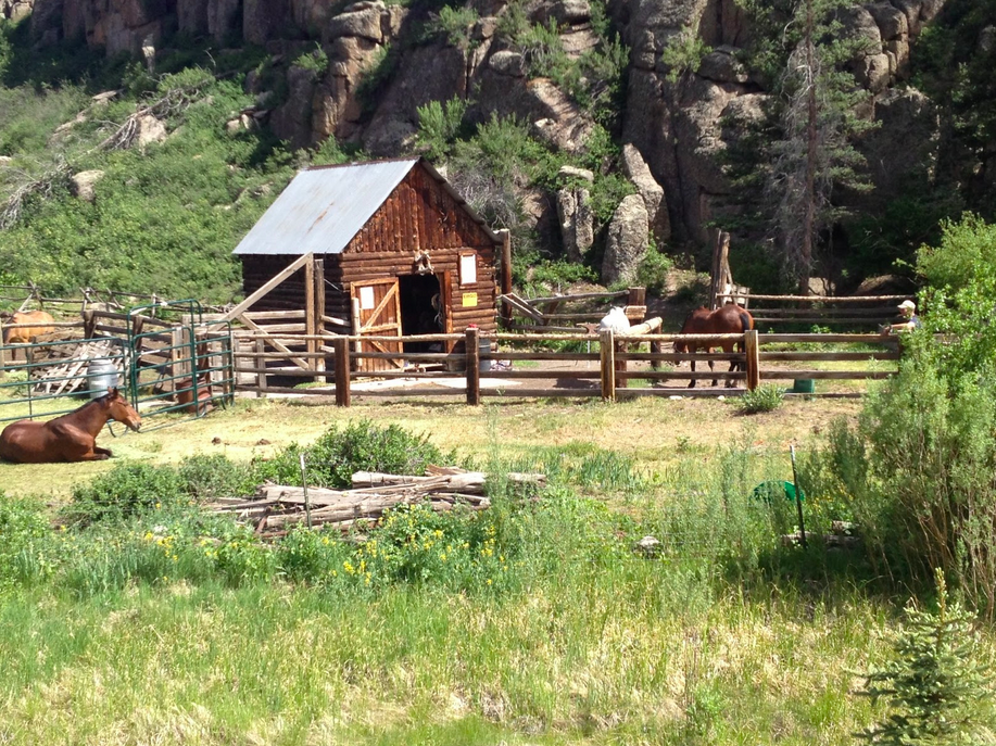
This is one of my favorite climbs. A four mile warm up climb followed by a four mile steep climb including an 18% wall. Three lakes and a 200′ tunnel. A mountain stream cascading down as you ride up. Trains creaking as they slowly make their way up the mountain. What more can one ask for?
On my way back from Ride the Rockies I never gave it thought that riding at altitude would help. This wasn’t a test to see if riding at altitude would make me stronger. If it was, it failed.
I always underestimate how difficult the climb is. Today was no different. It is hard. But once to the top you have a couple miles of flat on top of the mountain followed by a nice seven mile descent on Sugar Run Road. For me it’s just a perfect place to ride.
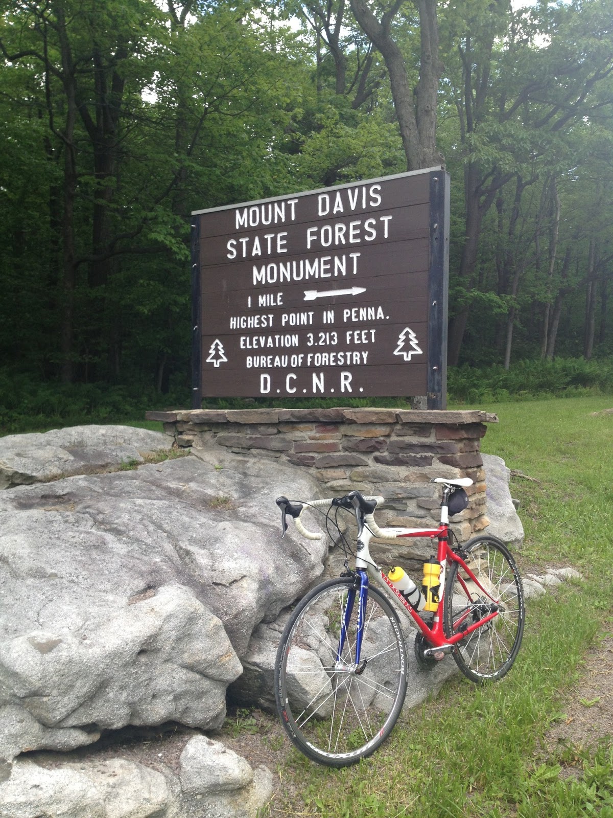
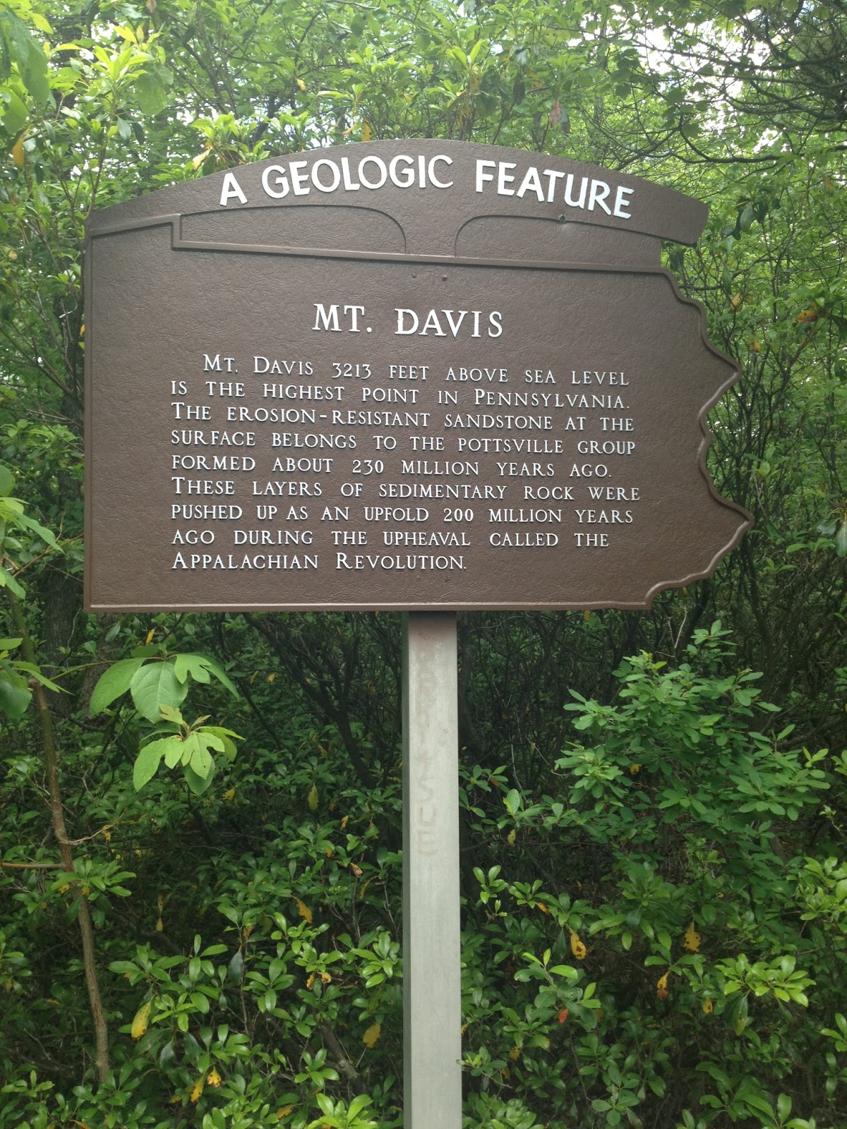
Mount Davis, the tallest peak in Pennsylvania, is in Somerset County which is where my parents have lived for most of 33 years. I have never been there. I decided today that I would bike up it.
When I mentioned it to my parents my dad asked if I would ride from Confluence so I thought that might be the logical place to start. I didn’t know the roads.
I mapped out a route which would take me up Fort Hill Road to Green Road to High Point to Mt. Davis Road. When I reached Green Road I found first that it was descending and second that it was a dirt road – not just a dirt road but a dirt gravel mix and a bit of ungraded forest floor – much like Imgrund Mountain Road. I decided it was not worth the risk and took another route.
I found Pumpkin Center Road climbed so I kept going up – until the bottom just dropped away. That’s what makes climbing hard in this section of Pennsylvania because most of these roads do not have a continual climb but it seems for every two feet of gain you lose one. It also means on the descent there is some climbing too.
Pumpkin Center Road
I made my way to Mt. Davis Road and was unsure where to go. Finding no one to ask, I turned on the phone and found a map – I was headed in the right direction. Then it just a matter of making it to the top.
The ride back down was nice but Pumpkin Center Road had a 12% grade which kicked up to 20-22%. Ouch. Why do they do that on my descent?
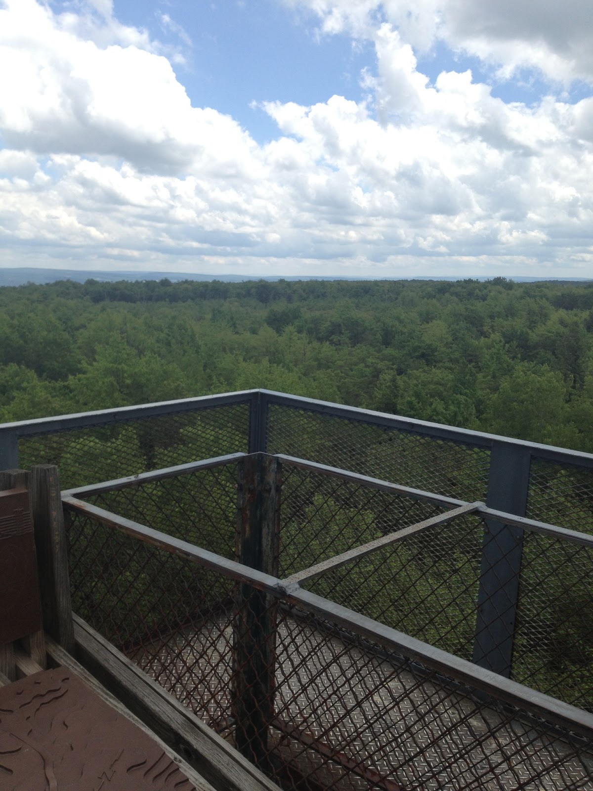
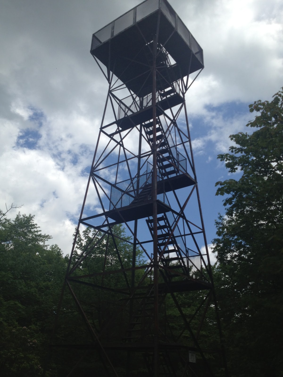
Observation Tower at Mt Davis
I need to come back and try this from the Meyersdale direction. But cross Pennsylvania off my list of states I’ve cycled to the highest point (along with New Hampshire). Seriously – I don’t know where I’ve been although I’ve also ridden up Mt. Evans, Colorado which is the highest paved road leading me to think there are higher peaks in Colorado with dirt roads. Anyhow, it’s not a goal, just a fun thing to do.
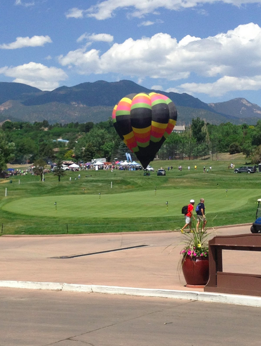
I wanted a good Midwestern ride to break up the monotony of the long drive home from Colorado. Muncie was a perfect place.
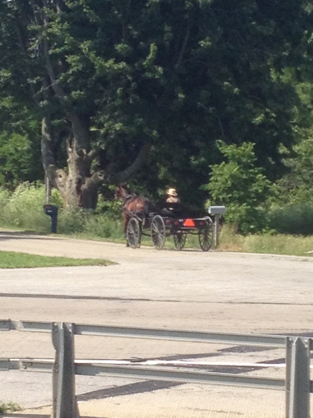
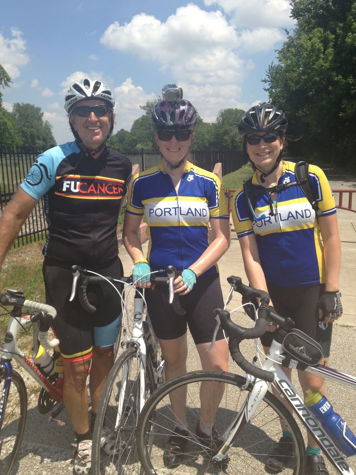
The 4K for Cancer Team Portland was coming through. I knew they would be on the Cardinal Greenway rail trail. I headed towards Richmond, Indiana, thinking I’d ride 10 or maybe 20 miles before intersecting them.
I rode 43. I arrived in Richmond and was near the end of the trail. I began to worry that they had entered the trail farther up and had passed me without seeing. But finally, around the corner, here came six riders of the 4K. And they were almost like “hey, good to see you.” Almost no surprise.
But it’s all good. I turned around and we headed back to Muncie. I only saw eight of the 4K riders (six riding and two in the water van) because the other groups were hanging back with the father of a scholarship winner. And I had a seven hour drive ahead.
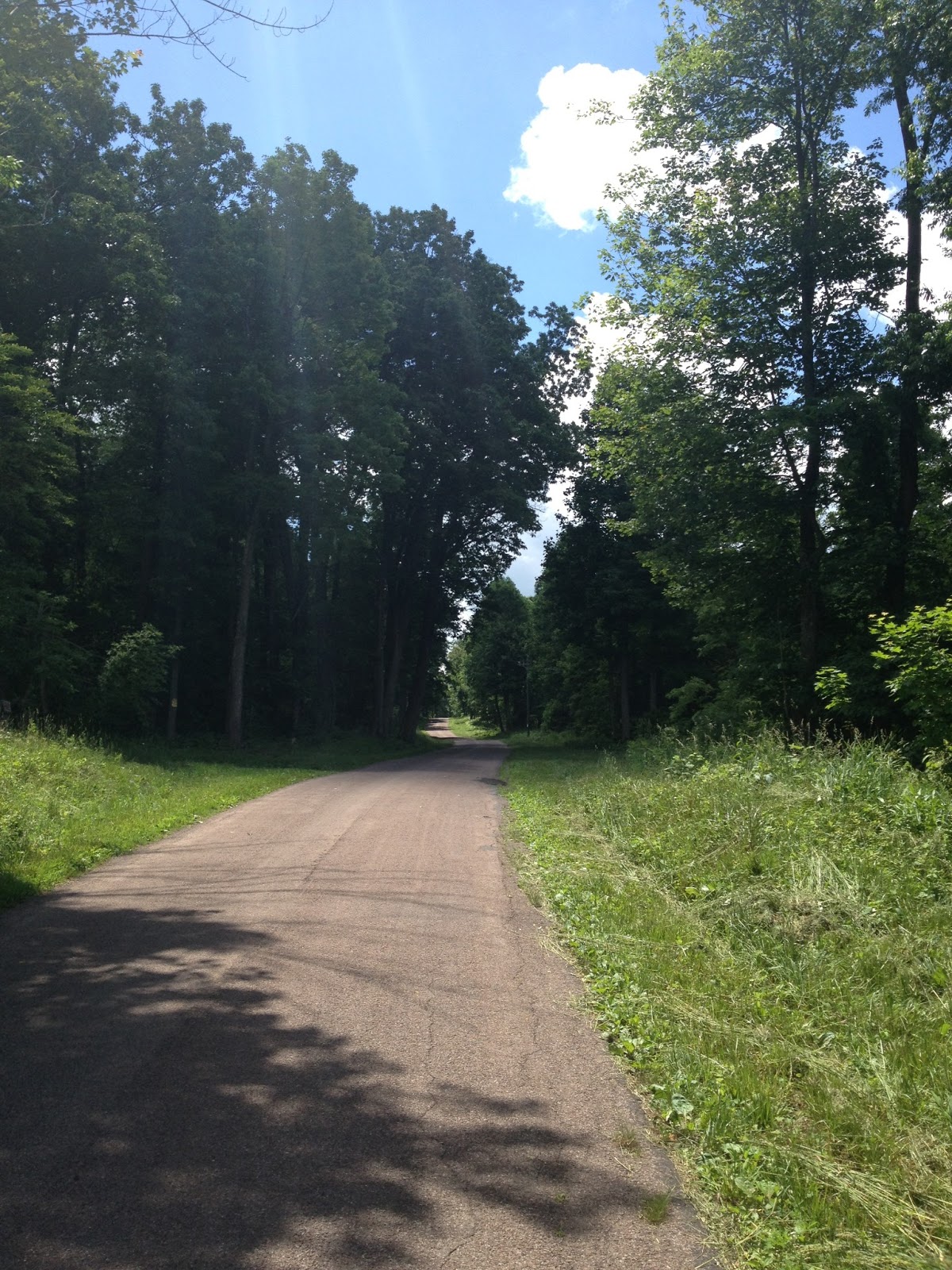
The rail trail was beautiful. Almost no riders were on it. It is paved with good asphalt and much of it is shaded.
“The Cardinal Greenway takes its name from the last passenger train to regularly travel the route (Chicago-Cincinnati-Washington): the Cardinal. The train service in turn derived its name from the state bird of all five states which it traversed.”
I’m guessing those states were Illinois, Indiana, Ohio, West Virginia, and Virginia — all of which do have the Cardinal as the state bird.
It was a beautiful morning to ride and easy to keep going and going and going. Just like in Kansas, the Garmin froze and once it came back online I lost the ride info I had just done. Oh well.
After a day in the car it was time to hit the ground and ride. And it wasn’t good.
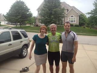
I was excited to meet my 4th cousin, by marriage, Nick Schotamus. Oooh, he is younger than I thought.
The only chance I had was Nick only had his single speed bike. Didn’t matter.
My Garmin was like me – broke for the day. It recorded the first 10-15 miles then quit. When it finally came back the first segment was gone.
This was Kansas – near Kansas City. The route had some incredible rollers. The terrain reminded me of Pittsburgh although in a suburban and country environment. We would hit these steep climbs then have steep descents. It was anything but flat.
Karen Schotamus, Barry Sherry, Nick Schotamus
At the end my legs felt like Jell-O, something I never felt after a week of riding in the Rockies. But more importantly I got to meet my cousins. This was a special day even if I sucked.
Day 7 of Ride the Rockies brought mixed feelings. On one hand, I could ride here forever but on the other hand, it felt like it was time to stop. Scott Olson and I began our day by eating breakfast at McDonalds which opened at 5:00 a.m. (like they should have).
Navigating road furniture in Cañon City
Once out on the open road the two of us stayed together through Florence. As we were leaving, and I was missing some photo ops, we were joined by two, then three other riders including a medic. And we were flying.
Quick photo in Florence
We were on our bikes before 7:00 a.m. Even trending uphill, we might arrive at the finish by 10:00 a.m. Scott was all in to do that but I was not. He wanted to get there, tear down and pack his bike, grab his luggage and catch a noon bus to the Denver airport. I had no where to go except Hays, Kansas, after the closing ceremony.
Saw this bike today Maybe I should have bought one around 2000-2001
After doing a pull for our group, I moved aside and let them go. One rider saw me and drifted back briefly to pull me back in but I told them to go on. I was happy riding my own pace. Quite happy, in fact.
They picked up 50, then 100, then 200 meters on me. Then I quit watching. I shouldn’t have. Moments later I came upon a rider standing in the right lane of two motioning all cyclists into the travel lane and away from the shoulder. I saw a couple of riders down on the shoulder. I hoped it wasn’t Scott. But it was.
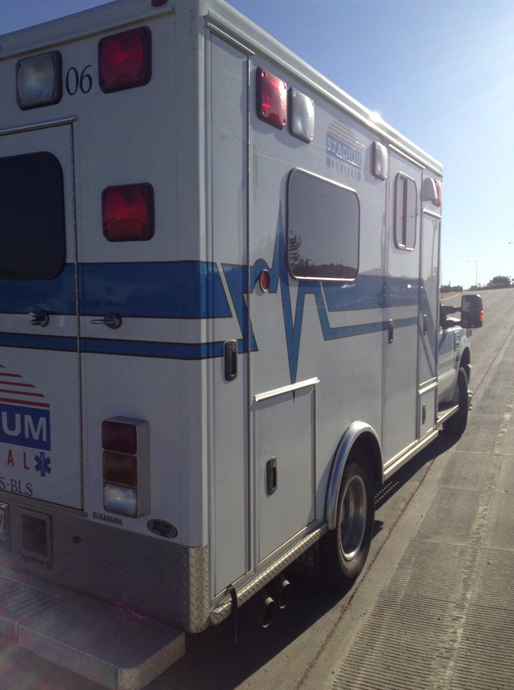
SAG wagons are bad. This one is worse.
I stopped as did a second medic (one of our riders in the group was a medic and immediately was administering first aid) and quickly did what I could which was to help direct oncoming cyclists away from the danger spot – an uneven open seam in the concrete highway.
The Colorado State Patrol, on motorcycles, quickly arrived and an ambulance was not far behind. I was able to help lift Scott to put the board underneath him and then onto the stretcher. We made plans for me to pick up his bike in Colorado Springs after it was SAGged there but that would not be necessary as RTR took care of that.
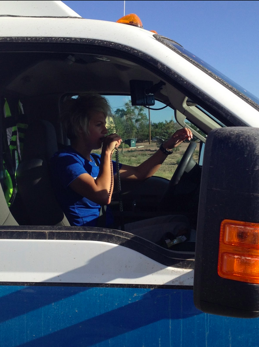
“SAG” driver
Scott and another rider went to the hospital and I was pretty shaken up. It was hard to ride after that.
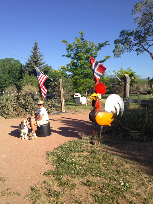
Rooster. A Norwegian rooster perhaps.
In comparison to the crash that I narrowly avoided, the rest of the day was uneventful. I rode slowly just talking to spectators and riders. At the second rest stop one rider saw the Mount Washington Auto Road Hillclimb jersey and asked me if I actually did that race. We chatted. He told me that wanted to try it but thought it would be too hard.
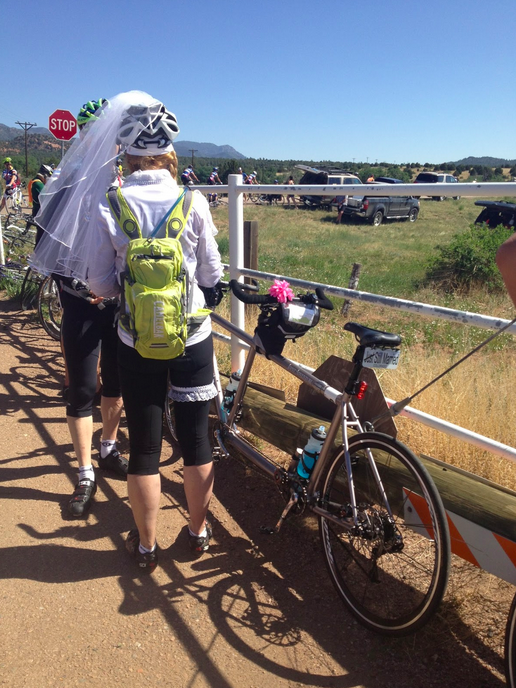
Just married Don’t know where this relationship is going but they will get there faster on a tadem
After the second Aid Station, I was passed by Ron Kiefel and his sister, Erlinda. I joined them for a couple of miles, long enough to tell him I didn’t know how they could race on when a teammate goes down. It does leave one shaken. I was still shaken. But I wasn’t invited to join the two of them and soon let them go.
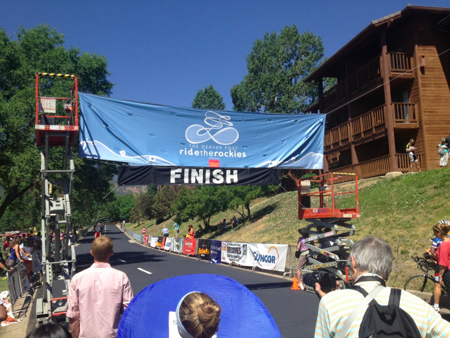
Colorado Springs – The End
A few pictures. A few more miles and then I arrived the finish line. It didn’t feel like an accomplishment although many people were celebrating it as such. Volunteers were handing out pins. For me, it was just over.
Beautiful views at the finish
I loved Ride the Rockies. I was asked by Lauren Hunt of the Davis Phinney Foundation to return next year and ride for them – a real honor to be sure. The memories I take are not of the riding although hard to beat a six-mile stretch off Wolf Creek Pass where I averaged 40 mph. But I will remember the people – Chris and Erin, the kayakers in Telluride; George Hincapie and Connie Carpenter; Bob Roll, the rider from Haymarket; a veterinarian from San Diego; an 8-year-old boy at Oak Lodge in Pagosa Springs; Lauren and Jenna from the Davis Phinney Foundation; Ron Keifel and his sister, Erlinda; the paraplegics riding with hand cranks; and Margaret and John riding with Parkinson’s. And many more that I have left off.
A standing ovation for the Colorado State Patrol arriving in Colorado Springs
This is one event, maybe the only event, that I can see myself returning to.
The rain that fell last night brought ash. Cars and bikes that were outside were covered with spotted ash. But at least the area got some rain.
I did not want to wait for the 6:00 a.m. breakfast at the Super 8 and instead went to McDonalds hoping they would open before 6:00. This one left me shaking my head. Thousands of cyclists, most of whom actually like McDonalds, at least for breakfast – those hotcakes supply carbs — and all wanting to roll out early for a 95 mile day – the fourth day in a row of 85+ miles.
And McDonalds was closed. Well, not closed completely because there were workers inside at 5:45 a.m. But they weren’t budging. The line outside was long at 6:00 a.m. when they appeared to reluctantly open the restaurant. I guess if you’re not a kid they don’t want to serve you. Service was very slow. I am not a fan.
When I rolled out from McDs at 6:20 it was cold. The usual 48 degrees. We rode through Big Horn Sheep Canyon but I didn’t see any big horn sheep.
At Mile 25 I turned right and began a climb on a country road. Not all did. There was a sign which stated “US 50 OPEN” and a number of cyclists decided for whatever reason to travel US 50 to Cañon City. Although this was the original planned route, all RTR support was on the new route. These riders were on their own. I didn’t go because I respected the organization and I wanted the extra miles. Bragging rights, you know.
It actually went deeper than that. The organization offered us two options for today. One was to ride the 95 mile route and the other was to take a bus. They made it clear that they did not want cyclists on US 50 even if it was open. If they had to close the road again they could not evacuate all the cyclists. Also, they would be in the way of emergency equipment. To ride the “renegade route” was an irresponsible option but did not stop some riders including one of the bloggers for the Denver Post.
The Royal Gorge burned. No riders could go through there but they could see across the gorge and see the Royal Gorge Bridge. I wish I could have seen it but chose not to. Plus I would have a much more memorable day.
After the second rest stop, I saw Ron Keifel and his sister, Erlinda, pull out. I was close behind. Within a few minutes I was side by side, then shoulder to shoulder, with Ron. Erlinda motored ahead. For 17 miles we chatted. Ron regaled me of stories from the Tour de France, Giro d’Italia, Tour of Switzerland, and more. We talked about cycling, Lance Armstrong, Bob Roll, and more. And we chatted about life.
During this time there was a third rider on our two wheels. She sat in for a free ride. Ron is as down to earth person as you will meet. He talked about not riding much and having a sore butt and legs. Just as we were pulling into Westcliffe, where there was an aid station, he disappeared.
Ron Kiefel, Barry Sherry
As I turned the corner somewhat bewildered, a rider said to me that “your friend just stopped and took a break.” Did I just drop a seven time Tour de France rider? Really? Oh this is awesome!
At the aid station I was a couple hundred meters behind the Kiefel group as they rolled out and wasn’t about to integrate again. Nor could I catch them. For the next 10 miles I watched this group stay 200 meters ahead. And then on a false flat my legs felt good. I picked up the speed and started passing lots of people (except for the Keifel group). I flew by the woman who had been sitting on with us earlier and with the Keifel group after the aid station. She explained she could not stay with the Keifel group. I invited her to follow my wheel. I pulled her to the next aid station.
After going through Hardscrabble Pass I rolled out of the San Juan National Forest by myself. The descent was steep and technical. I quickly got up to 48 mph but applied the brakes. And I saw where one rider had just gone over the guard rail. Oh boy.
“Numerous Ride the Rockies cyclists crashed and were sent to the hospital on Friday as they attempted to maneuver the descent of Hardscrabble Pass in Custer County, a treacherous hill added to the route when the course was altered for Royal Gorge fire road closures. Riders reported crashes that sent people over guard rails while biking switchbacks along the downhill section of the pass.” 1
After seeing the carnage on the descent I sat up and took it carefully. While the run-in to Florence looked to be all downhill on the profile the reality is it flattened out and got hot. I was struggling. I had one group of three pass me and knew I could follow their wheels. But I knew I was too gassed to help and didn’t want to sit on. I let them pass.
About five minutes later the Kiefel group passed me. And Ron called out my name. It was an instant energy boost. I joined them and in short order we passed the group that I was too tired to follow. In Florence I moved up to talk some more with Ron.
After our last stop in Florence I rolled out and we quickly had four but I excused myself as not wanting to work anymore with anyone. I was pretty gassed. But I did want to stay ahead of the Kiefel group because it would be embarrassing to get caught yet again. And I managed that.
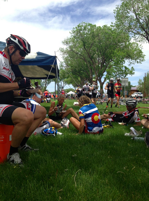
I finished the day, added some bonus miles to make 100, and attended the cycling seminar. While Chris Carmichael was the featured speaker, and gave the same “caught up in the era” excuses as we heard all week, the highlight was Margaret Rae Tennant, a woman with Parkinson’s Disease who was riding in this week’s tour. She presented her video, Better on a Bike, and she received a standing ovation.
Recovery
At the seminar, a woman from the US Geological Survey named Jane spoke and told of how she tried to follow the wheel of Ron and “another rider” and was just hanging on. Oh yea, I remember her — on the ride into Alamosa she was calling the shots and wasn’t too nice. And now she was thanking Ron and me for pulling her — and she was also the rider that I pulled back to the Keifel group on the false flat. That felt good.
The day’s profile looked pretty easy – 40 miles of flat followed by some trending uphill over the 9,010′ Poncha Pass then a descent to Salida. We were also aware of wild fires burning near Salida and there were rumors of what the next day would bring.
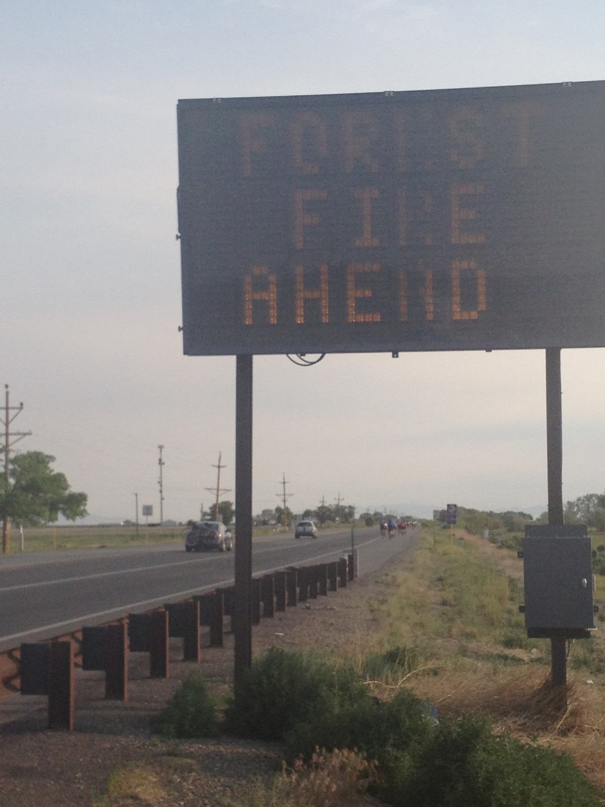
As we rolled through Alamosa, a rider named Karen asked me if I rode up L’Alpe d’Huez (which was the jersey I was wearing). Of course I did. She joined Scott Olson and me for a few miles until he pulled away as we took pictures of the sign “Forest Fires Ahead — Do Not Call 911.”
At the first rest stop I met a guy wearing a Haymarket jersey and talked to him for a while. Haymarket, like Woodbridge, is in Prince William County, Virginia. After rolling out on the Celestial Highway (Google it) I saw my friend off the road in the sand changing a flat. I went back to help him.
After the third rest I caught Karen and saw she had a pump. I had intended to top off the air pressure today at the first stop since the school was too far to go to in the morning roll out. Distracted by talking with my Haymarket friend and I forgot to check air at Stop 2. But now I was convinced the front tire was low — too low — and I preferred a pump to CO2 which I carry.
Giant Chicken Rest Stop
But as we rolled along the tire was definitely flatting and at the first intersection where I didn’t have to be in the sand, I pulled over and changed the tube. I have little negative to say about Ride the Rockies but two SAG vehicles drove by and neither stopped. Oh how I wanted a floor pump.
After Rest 3 I rolled out by myself to Poncha Pass. At the pass I saw a whiteboard which stated tomorrow’s route would be changed and details to be released at the cycling meeting. Nothing I could do but ride.
I left the pass and began the descent. I did not expect anything more in speed but got into a tuck and let it roll. The Colorado State Troopers that rode with us on motorcycles were getting tired and grumpy. Earlier I saw one, sirens on, yelling at one large group of cyclists trying to pass another large group of cyclists. And now, on my descent, a trooper pulled up beside me as I was in my tuck doing 45 mph.
I wasn’t sure of the speed limit but I didn’t want to brake. I let it roll. I pulled ahead of the cop as I was in the right side of the lane and he was in the left. I hit 51 mph. I love these Colorado downhills.
Scott Olson on Cruiser
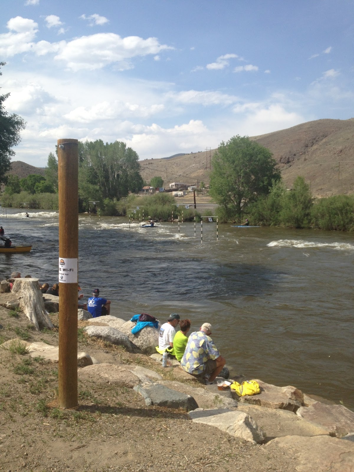
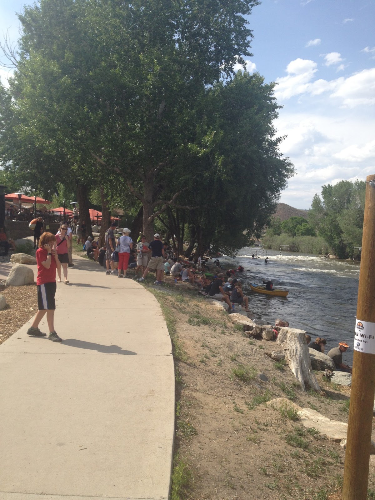
At the Salida Super 8, Scott Olson and I both borrowed “cruiser” bikes to go downtown and attend the cycling meeting. We were pleasantly surprised by the street fair downtown and the white water kayaking in the Arkansas River.
At the meeting we learned the reroute would add 35 more miles (95 total) and take us over yet another 9,000′ pass. Many people were defeated.
I was disappointed because I really wanted to see and ride over the Royal Gorge Bridge – the highest suspension bridge in the U.S. But people lost homes and jobs in the Great Gorge Fire and what I would lose is nothing compared to them. Plus we get bonus miles which will make this the longest Ride the Rockies in their 28 year history.
After dinner it rained. A thunderstorm. And the area needed it.
On paper, the first 24 miles were uphill including the last eight miles up Wolf Creek Pass, a climb with switchbacks that crosses the pass at 10,856′. It was a daunting profile.
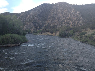
Rolling out of Pagosa Springs viewing the San Juan River
It was cold – the usual 48℉. Or less. I only wore arm warmers to keep me warm. The temperature here in the high desert was very cool or cold in the morning and then 100℉ by noon.
My legs felt like crap. This was not a good omen for climbing. Despite the profile showing all climb it seemed like there was a lot of downhill and old men and old women were passing me.
On the road (U.S. 160) to Wolf Creek Pass
On the bus ride out on Saturday, the guy I sat with mentioned to me that recovery, or lack of it due to altitude, will show up in Day 4 and I wondered if that was going to dog me today. It seemed that way. But why not Day 2 or Day 3?
One rider said this ranch we passed sold for $90M during the real estate boom
I pulled into the aid station at Mile 16 which also signaled the start of the real climb. The first 15 miles averaged one percent. Not much of a climb but still a climb. After using the port-a-john, they were generally very clean throughout the tour, I started the climb. This didn’t scare me. I think.
I did not have the tools or perhaps the courage, to look at the climb portion on Wolf’s Head. We stayed at 7,000′ in Pagosa Springs and would climb to 10,857′. The average grade for the next 8.5 miles was 6.5%.
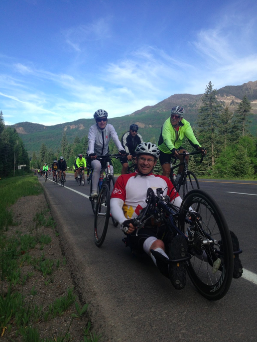
When the legs hurt you see these guys with hand cranks. RESPECT!
This was to be the climb of the week. I decided I would occupy my mind by making a game of it. I would count every rider that I passed and count every rider that passed me. And hoped that I passed more than passed me.
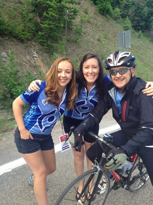
Lauren Hunt (middle) of the Davis Phinney Foundation Scott Olson and I shared a breakfast table with her this morning.
I just chugged away. It was 60 to six in favor of me passing riders. Then 102 to 10. I kept going. At the top, I was briefly passed by a rider but passed him back before the summit finish for no change. In the end, I was passed by 22 riders, including former pro Wayne Stetina. I passed 240.
The scenery was stunning. No pictures could capture it well. Maybe if I had stopped and took pictures I could have, but I wanted to keep climbing without pause.
Each day there was a designated Aid Station with a disk jockey or emcee. Today he was at the top of Wolf Creek Pass. He was having an egg shampoo contest which was a regular feature for him. Well, it was no contest. Just if anyone was willing to smash an egg on their head and rub it in, he would give them a t-shirt. It was most popular with men who shaved their heads.
The top of Wolf Creek Pass
With the climb over, the rest of the day should be easy. On the profile sheet the descent looked like a 68-mile downhill. It wasn’t.
The ride off the pass was wild. It wasn’t quite straight as an arrow, but nearly, and didn’t seem terribly steep. But it was long. The first six miles were the steepest but there was a good 14 miles or so before it leveled off.
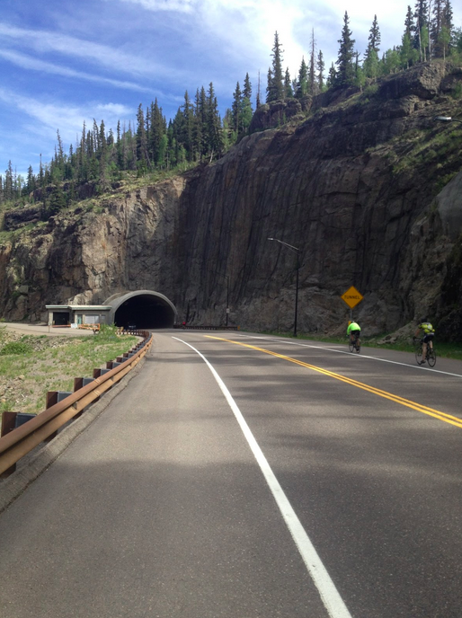
Riders on the shoulder approaching the tunnel on U.S. 160
I rolled off the top of Wolf Creek Pass and got in a tuck. Volunteers were warning us to take it easy and all riders I saw were on the shoulder. I took the lane. At high-speed, I don’t like riding on shoulders because there is often debris there that isn’t in the travel lane.
No words
Although not terribly steep, when one has long straight roads even at six percent grade one can pick up speed and I did. I hit 54 mph – a new personal best, and when I felt a little shimmy in the bike I decided 54 was fast enough. As I came to a tunnel I was warned of high winds at the other end and briefly applied the brakes. Heck, I stopped to take a picture.
The first six miles over the pass I averaged a nifty 40 mph. If only all rides could be like this.
After the aid station at South Fork, Mile 44, I rolled out alone. It was getting hot, it would be in the low 90s, and it was windy. It was tough being out in the wind and a group of about 30, which violated the RTR rules of no more than five in a paceline, came by. The guy at the end invited me to join. I could not resist.
The train was driven by four Belgians — four Belgians that I had passed on the climb. But they knew how to ride in the wind and they drove this and gave everyone a free ride. I felt bad but being on 30th wheel I was in no position to go to the front and help.
Hey look – Belgians!
After a rest stop in Del Norte (Mile 59) I rolled out with some folks that I had just ridden with in the big group. One guy did all the work and when we were passed close to the next station he had nothing left to stay with them. I went to the front and tried to take him back up to the group. I bridged up to them. He didn’t. But we were in Monte Vista.
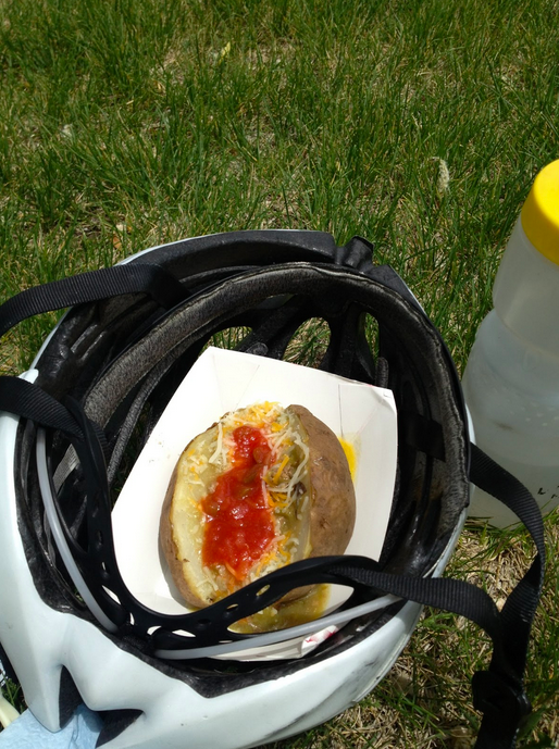
In Monte Vista the Tour served hot baked potatoes. With green chili and salsa. Perfect.
Hot baked potato in a helmet
The next 18 miles to Alamosa were dead flat. I joined the group that I had finished with and was the only time I did not feel accepted. I took my pulls. But the alpha male in the group was a woman, Jane, from the U.S. Forest Service, and it just wasn’t a friendly experience. I was looking for an exit strategy but we were on Highway 160 which was under construction and had lots of truck traffic. There was no safe place to escape to. I rode with the group all the way to the school, Ride the Rockies’ headquarters, having passed by my hotel, the Hampton Inn, miles earlier.
In Alamosa
After some exploring of Alamosa, I finished off the day making it a century. Plus four.
Back at the hotel, a very nice Hampton Inn, I grabbed my bag which was sitting in the lobby. Our bags were picked up from the hotel where we stayed daily and dropped at our destination. Alamosa sits at 7500′ in elevation. With my bag in hand, I saw there was a long line for the elevator. I decided simply to take the stairs to the third floor. I made it about halfway to the second floor before I was out of breath. Riding was no problem at elevation but climbing was.
The profile for today’s stage looked like the wires on a suspension bridge. The first 14 miles were up, followed by 37 miles of down, then 32 miles of up, followed by a downhill into Pagosa Springs.
It looked difficult. We had almost 10,000′ of climbing in an 86-mile ride. Mountainous. But no complaints as I signed up for Ride the Rockies.
Pretty as a golf course But it’s not
As with every morning, it was in the 40s when we rolled out. We had stayed at a Best Western in Durango which provided a continental breakfast that was good enough. But we were soon on a 14-mile climb and Scott Olson and I were soon separated as I popped out of the pack to take photos. (Or maybe I wasn’t able to keep up with him as he was a strong rider.)
But we were picking up speed and I was able to find him in the pack and we just rolled the middle section. We stayed together and at Arboles, Mile 51, we were able to roll out of the aid station together. At this point, we were a little more than one mile from New Mexico. We were truly in the southwest corner of Colorado.
Long somewhat boring roads
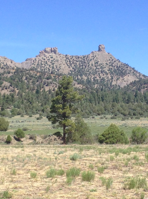
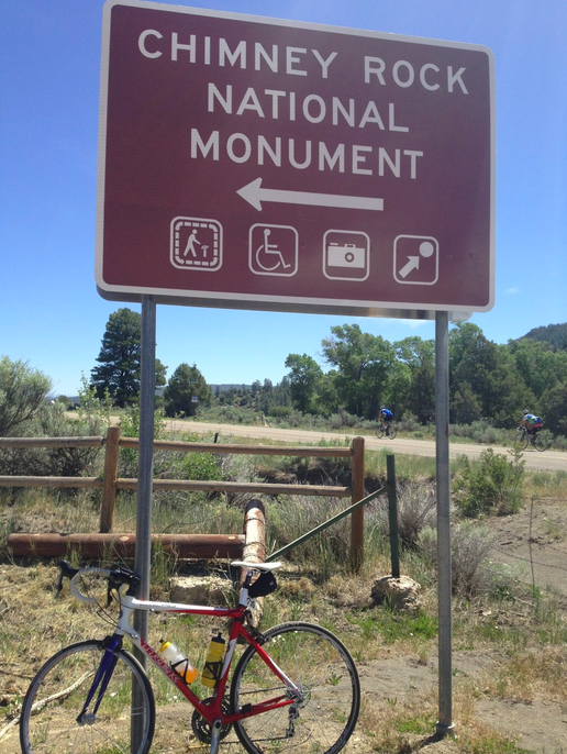
As Chimney Rock came into view we were both jockeying for the best photo ops. Scott would stop. I would stop. I stayed with him until one mile before the aid station at Hwy 160, Mile 69. I sat up and took a breather. He rolled out of the aid station ahead of me and I took it slow and took more pictures.
Chimney Rock
Chimney Rock would be the main feature on today’s ride. For many riders, they were excited to see it again or for the first time. Some were ignorant like me and had never heard of it before today.
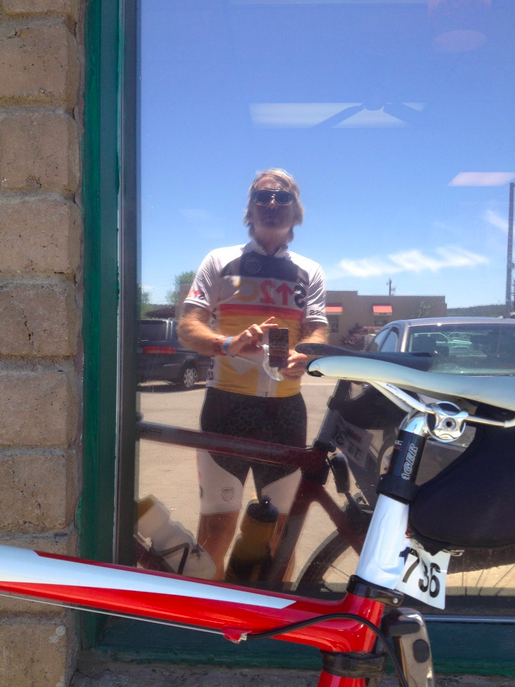
Two miles before Pagosa Springs the road dropped down. Although it was soon signed as 35 mph I wondered if this was a trick as I was hitting 45 mph without pedaling. Then I spotted a Subway and my stomach said to go for it. I ordered a sandwich, had it doubled bagged, and rolled on to the high school where I found a little shade and ate.
A window selfie at Subway
We stayed at the Quality Inn Hotel. Scott and I went to a Mexican restaurant and admired the spa across the river. Hot springs. Everywhere.
View from the Mexican restaurant. San Juan River in the foreground. Believe this is the Springs Resort in Pagosa Springs.
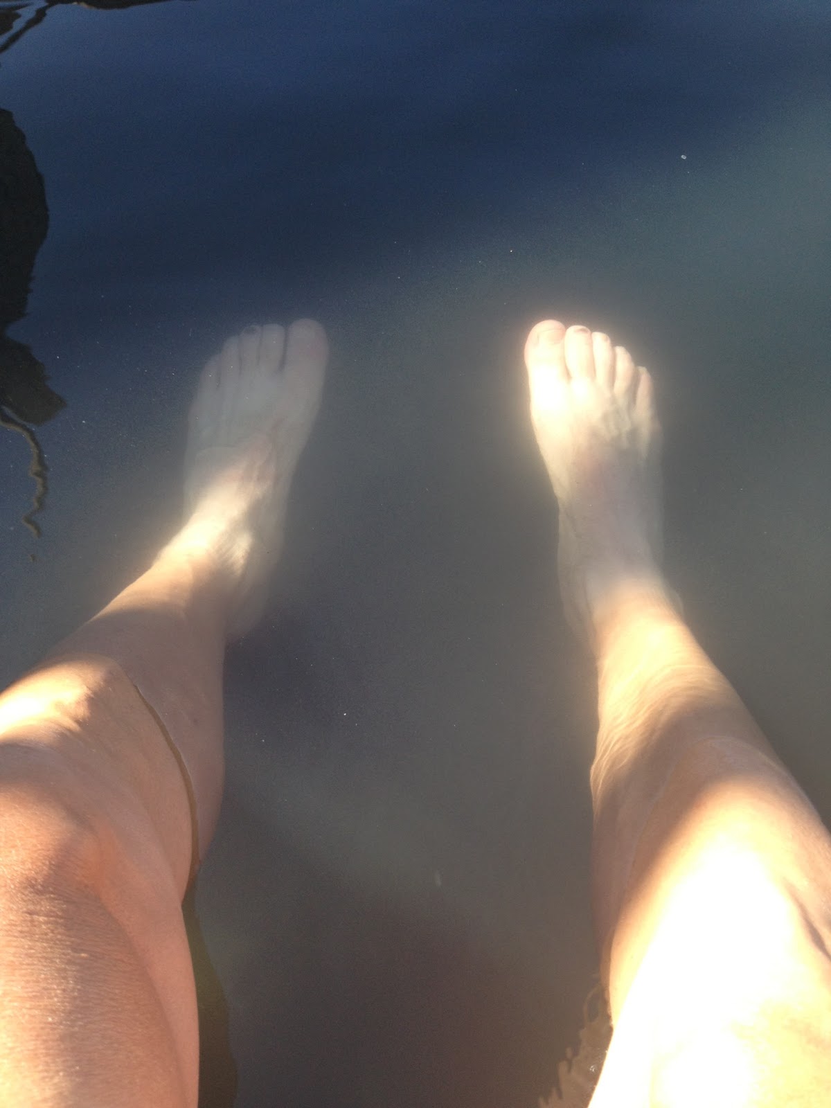
I didn’t go to the Springs Resort. Instead, after dinner, I found a public hot springs hole and soaked my legs. Very relaxing if not a bit smelly.
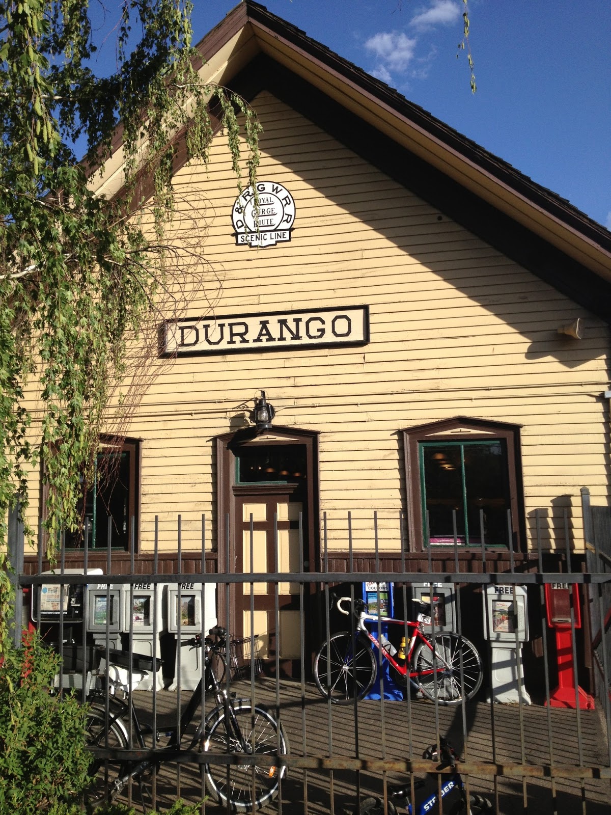
From 6,200′ Cortez to 6,500′ Durango this was to be a day of climbing. The profile basically trended up for 50 miles before descending to Durango.
My roommate, Scott Olson, and I were quick to get out the hell hole we were staying and made our way to Denny’s – which was ill-equipped to serve a whole bunch of cyclists at 6:00 a.m. Poor waitress. One waitress. What were they thinking?
We rolled out together until I peeled off for my first photo of the morning. Scott soft-pedaled and I jumped on the back of a group and was quickly back on with him. Near the second aid station we separated for good as I dropped back to talk to a rider wearing a Trek Travel jersey.
Rolling into Mancos I saw the Davis Phinney Foundation car and stopped and talked with Connie Carpenter Phinney.
The next 16 miles were a climb which was long and steady but not hard. It was just a matter of keeping the pedals moving.
Mantos, CO
There wasn’t much to stop for and take pictures but occasionally there was something interesting. Like the elk ranch.
The climb led to something called Hesperus Hill. Who knew? The last 10 miles were to be downhill into Durango but this? This was awesome!
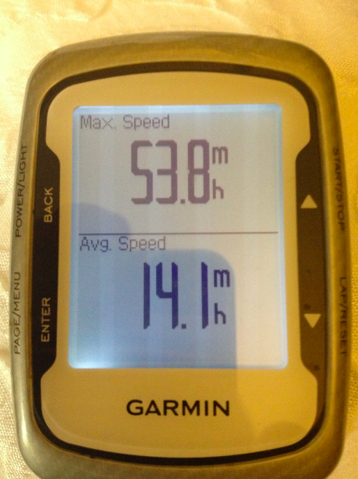
The road was smooth and cyclists were hugging the shoulder. I jumped in a lane and was following an RV which was following a tractor-trailer. We were doing 53 mph. It was a new personal best for me. And it was fun!
In Durango I ate at a pizza truck turned into a building, Home Slice Pizza, then explored the town before attending the cycling seminar at the school.
Barry with Bob Roll
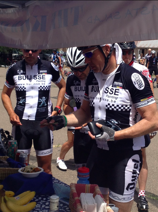
The guest speaker was Bob Roll. He is incredibly funny. He told us that George Hincapie will be doing TV for the Tour de France. Favorite part of working with Phil Liggett and Paul Sherwin: the drinking. And his picks for the Tour: Froome, Contador, and van Garderen.
After the seminar I still had time to explore the town.


