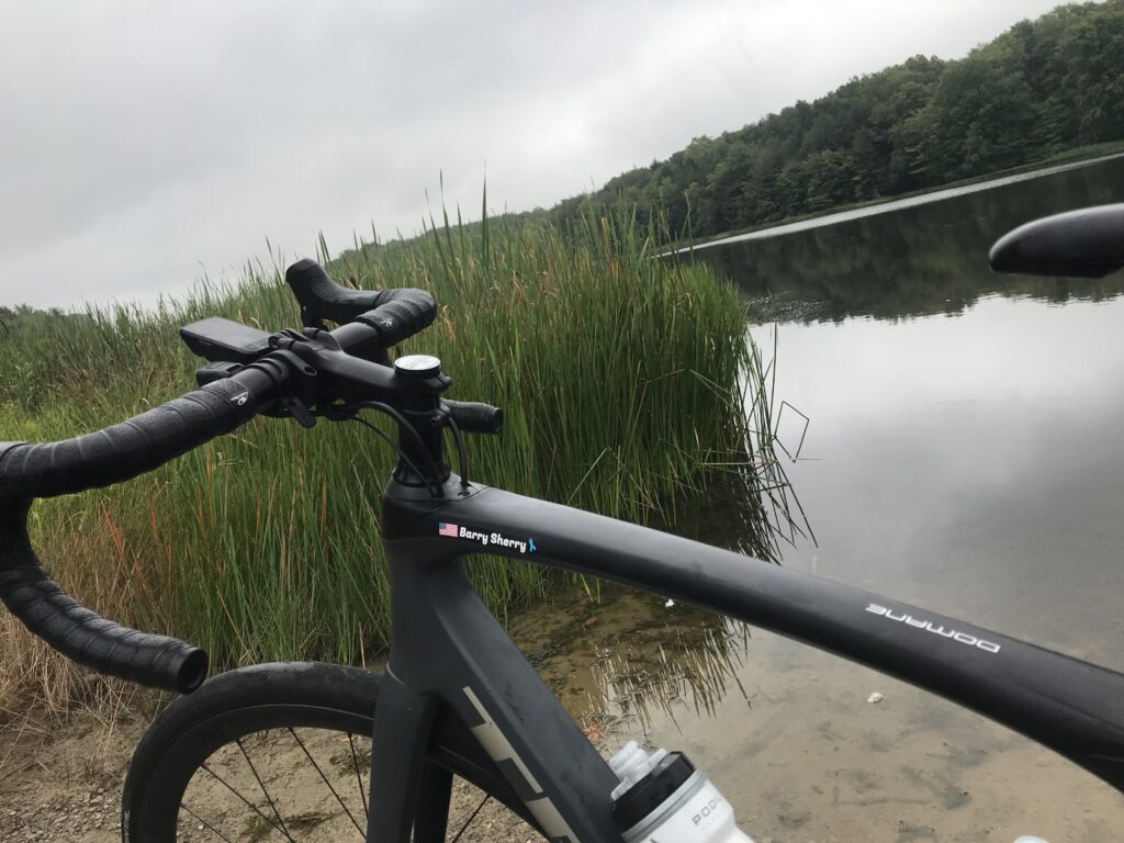
WOODBRIDGE, VIRGINIA
Another year of riding. Another year of life!
Slowly, many of the events that disappeared in 2020 came back in 2021, most with modifications, and usually to the size of the groups. But I was able to join in some although the signature event, the Livestrong Challenge, in Austin, Texas, was canceled for a second straight year.
MY TOP TEN CYCLING MOMENTS/MEMORIES
(In no particular order)
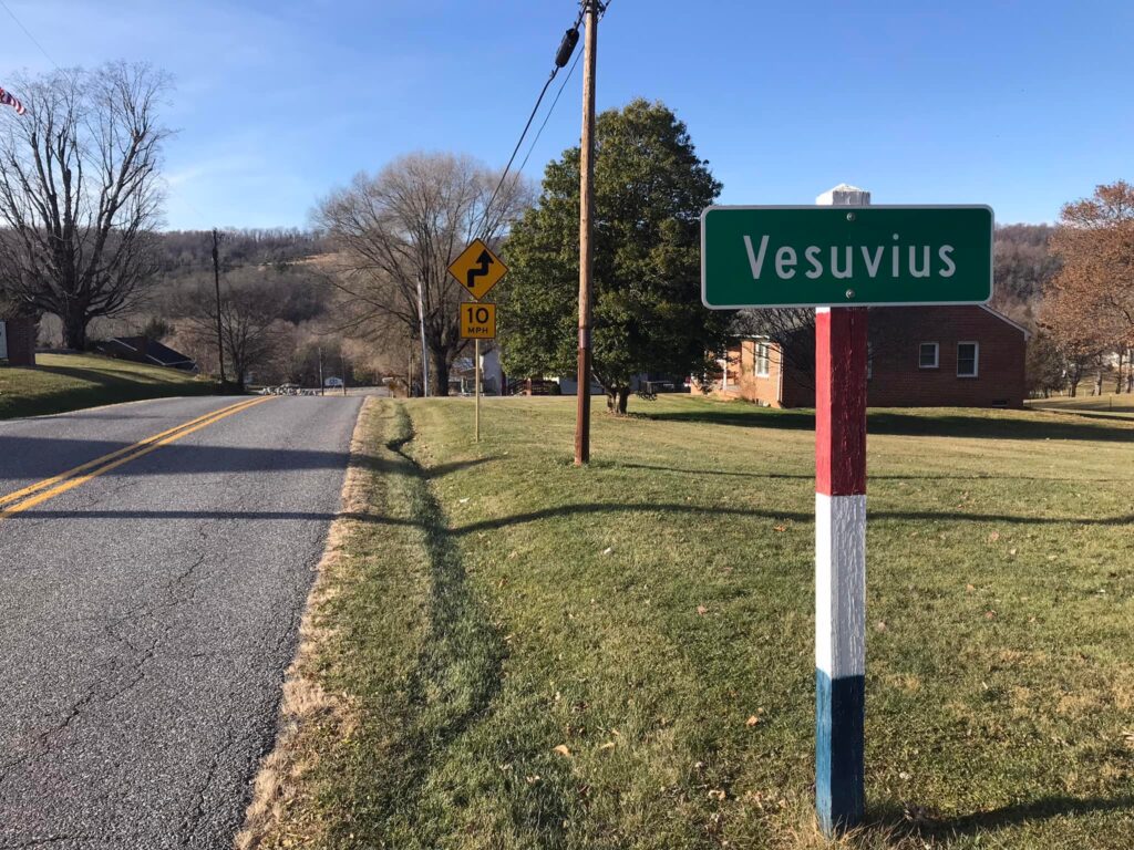
- Oh Vesuvius
- See you later Alligator
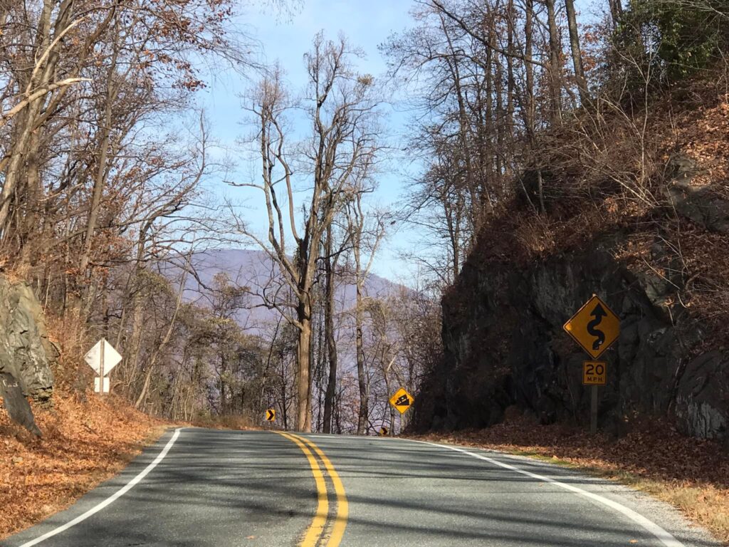
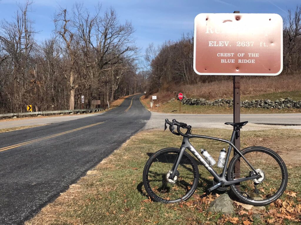
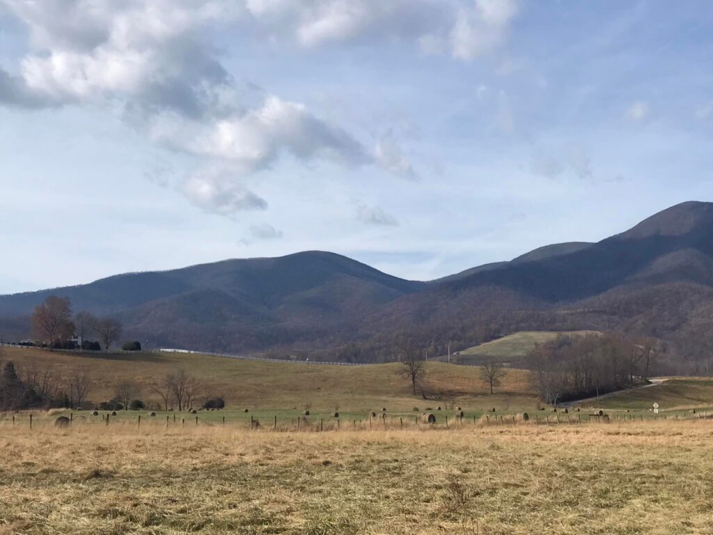
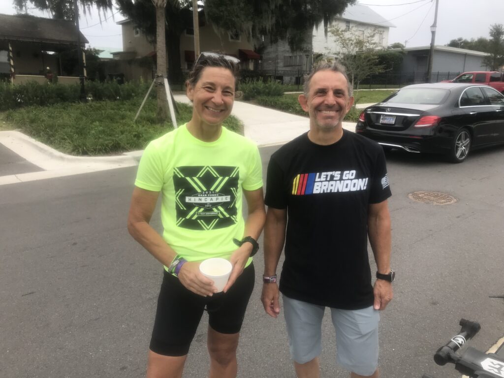
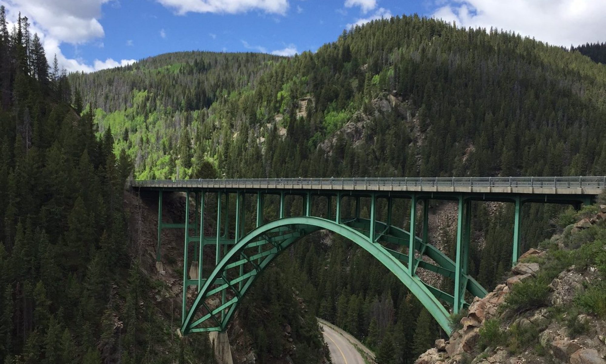
- Alpine Loop Gran Fondo
- Texas4000
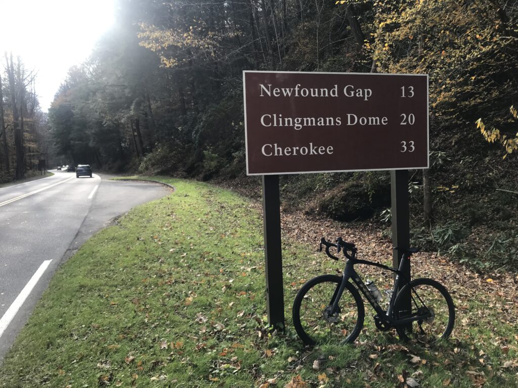
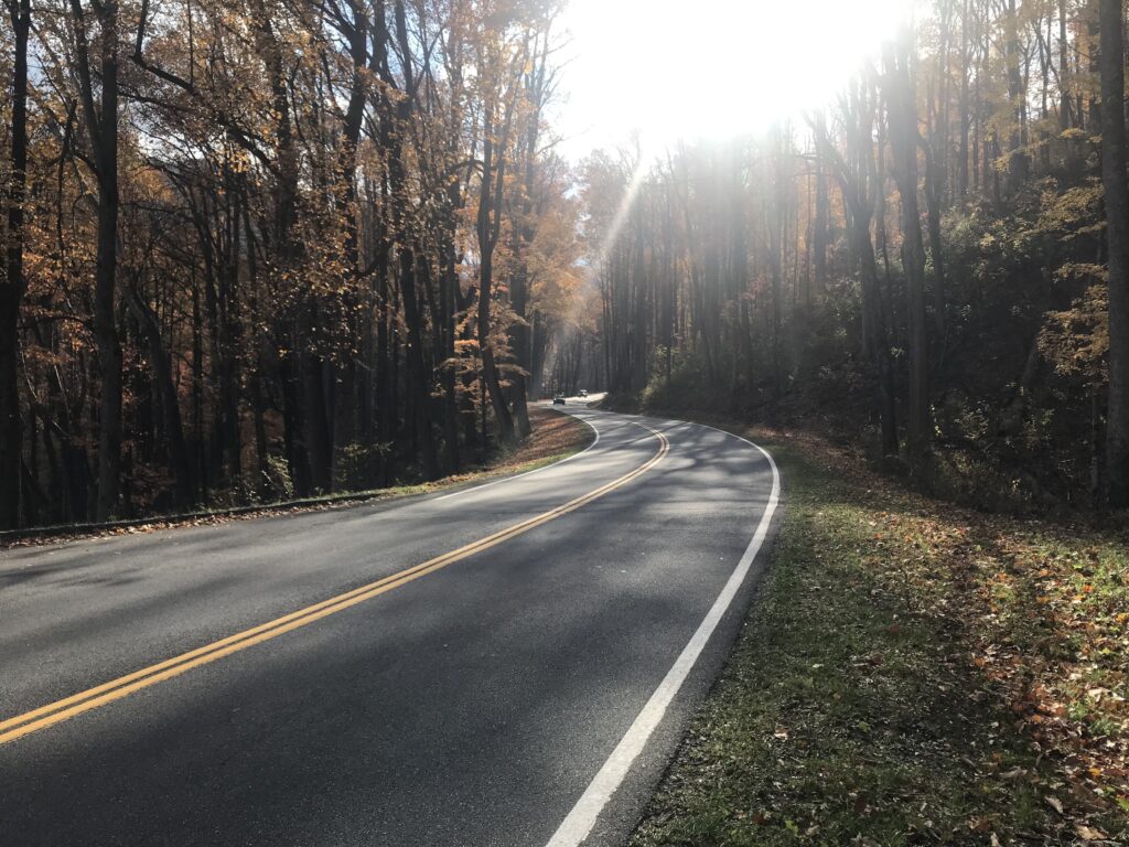
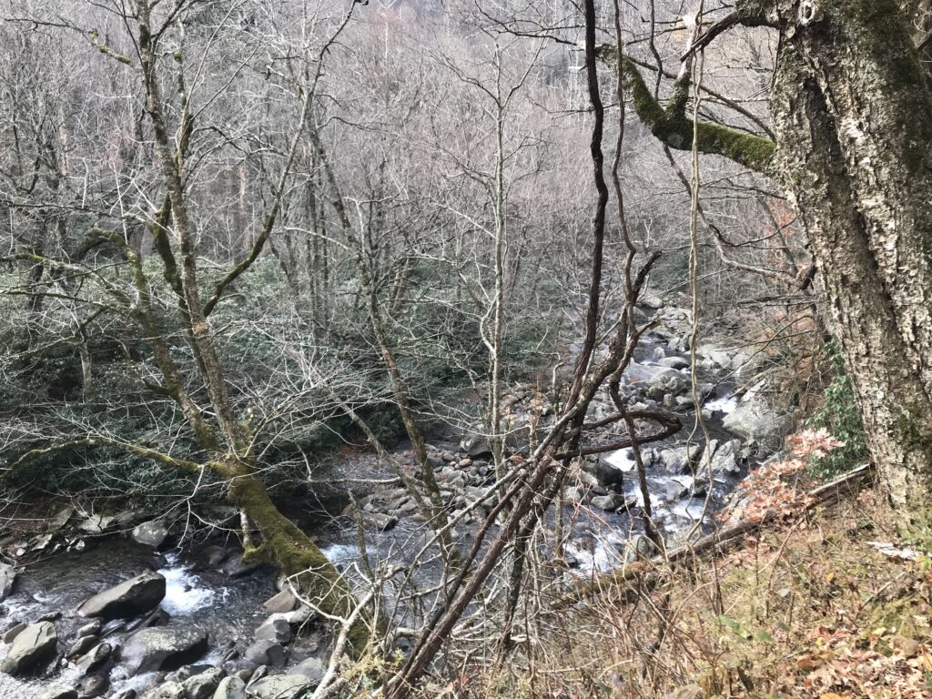
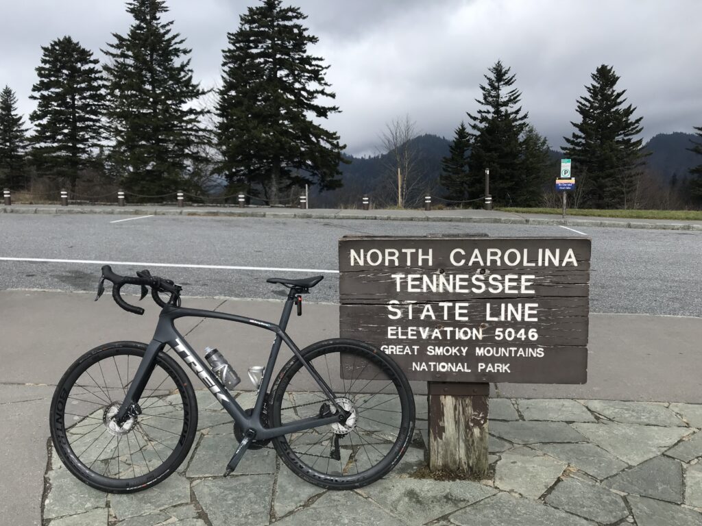
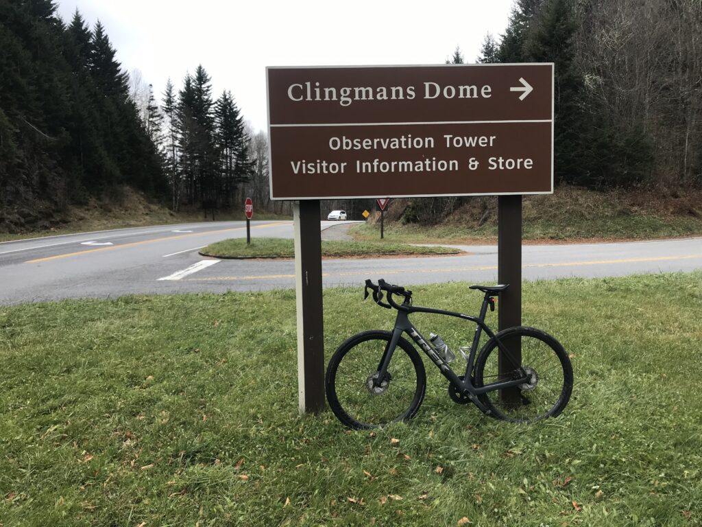
- Clingman’s Dome
- Ride to Conquer Cancer
- Horrible Hundred
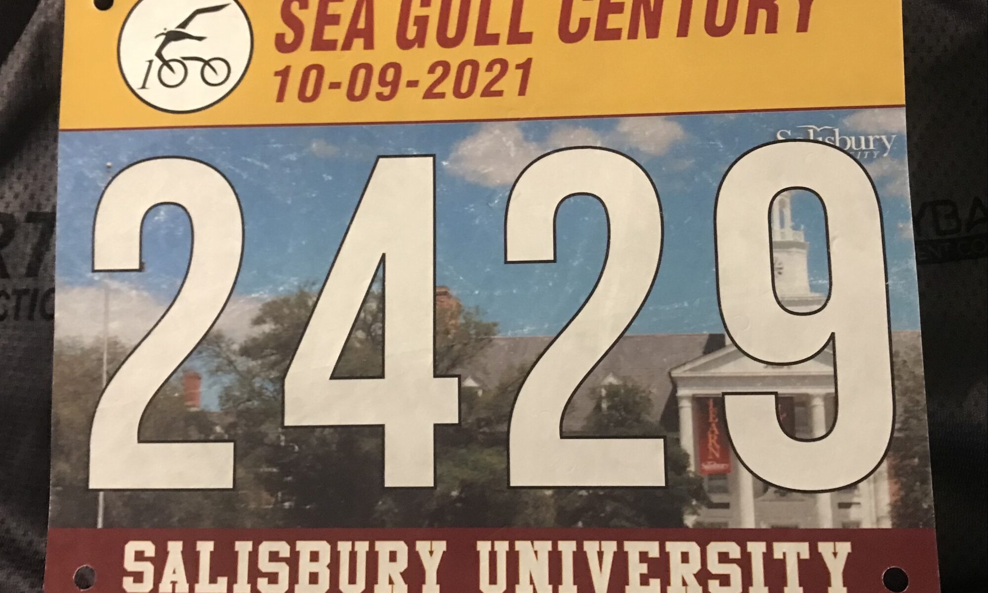
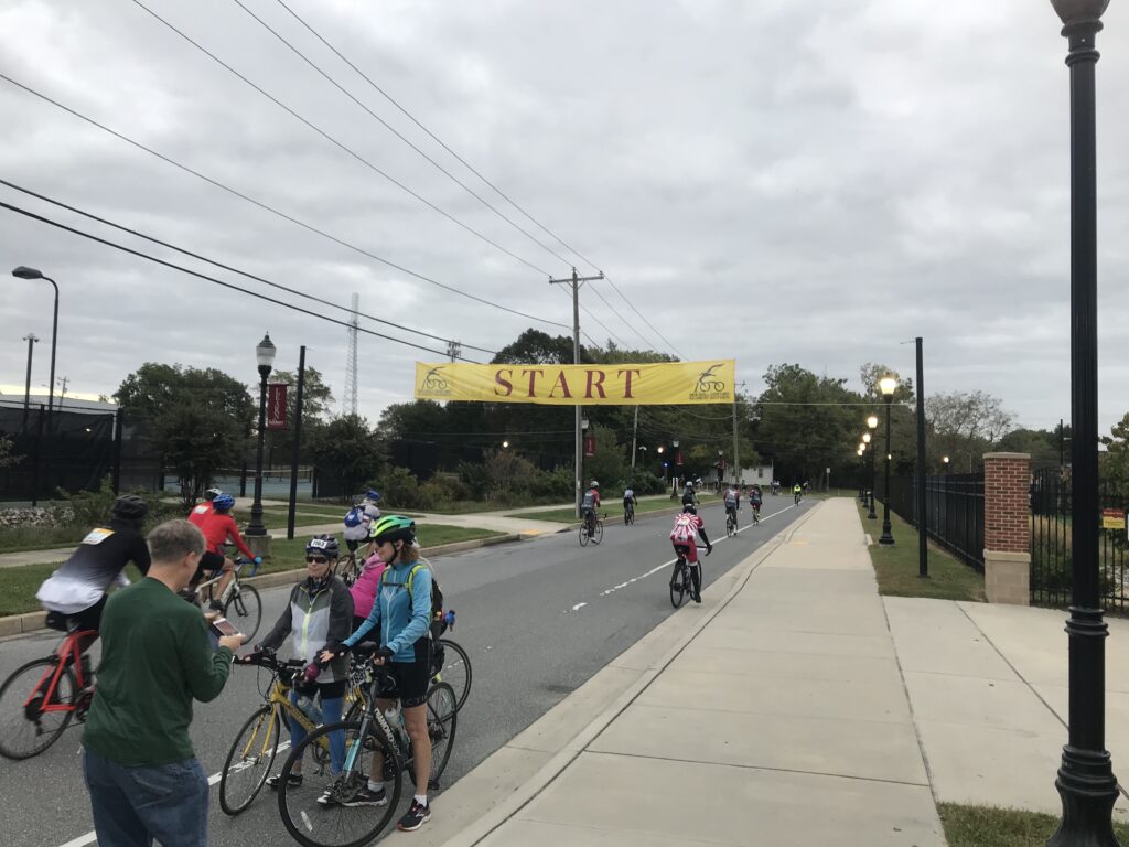
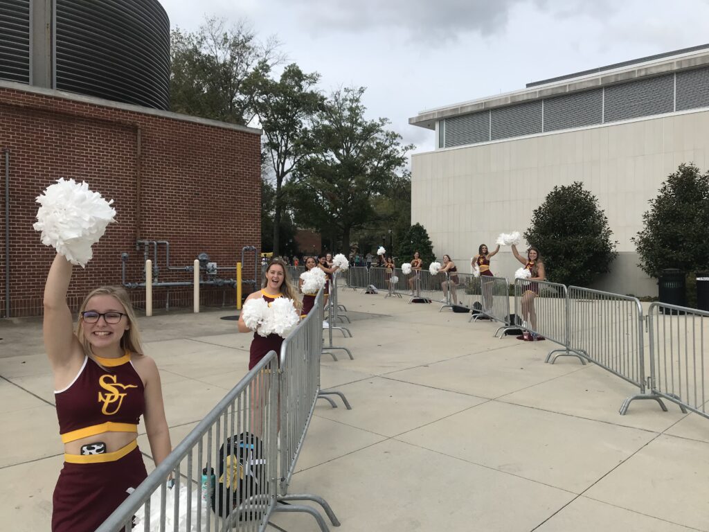
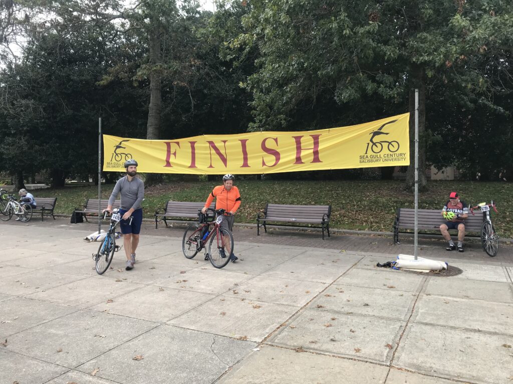
- Sea Gull Century
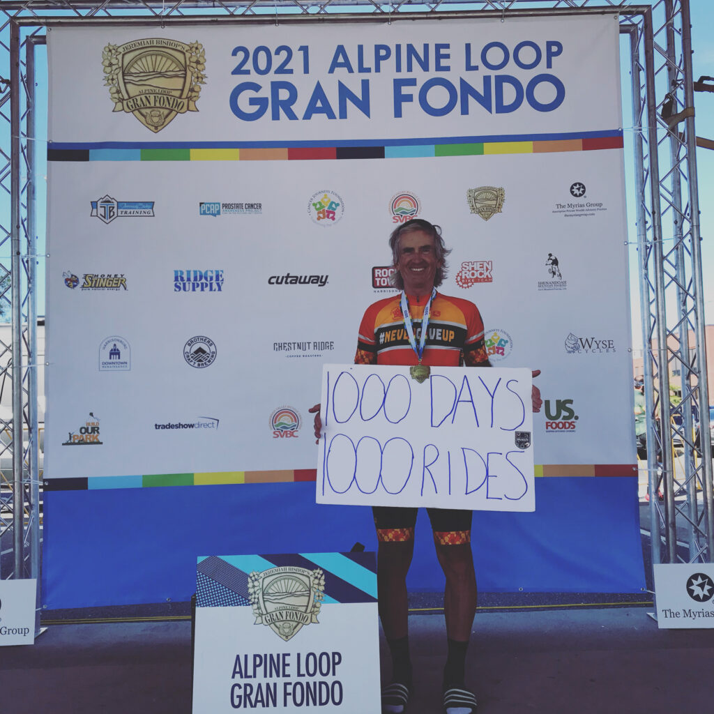
- 1000 Days 1000 Rides
- MWARBH
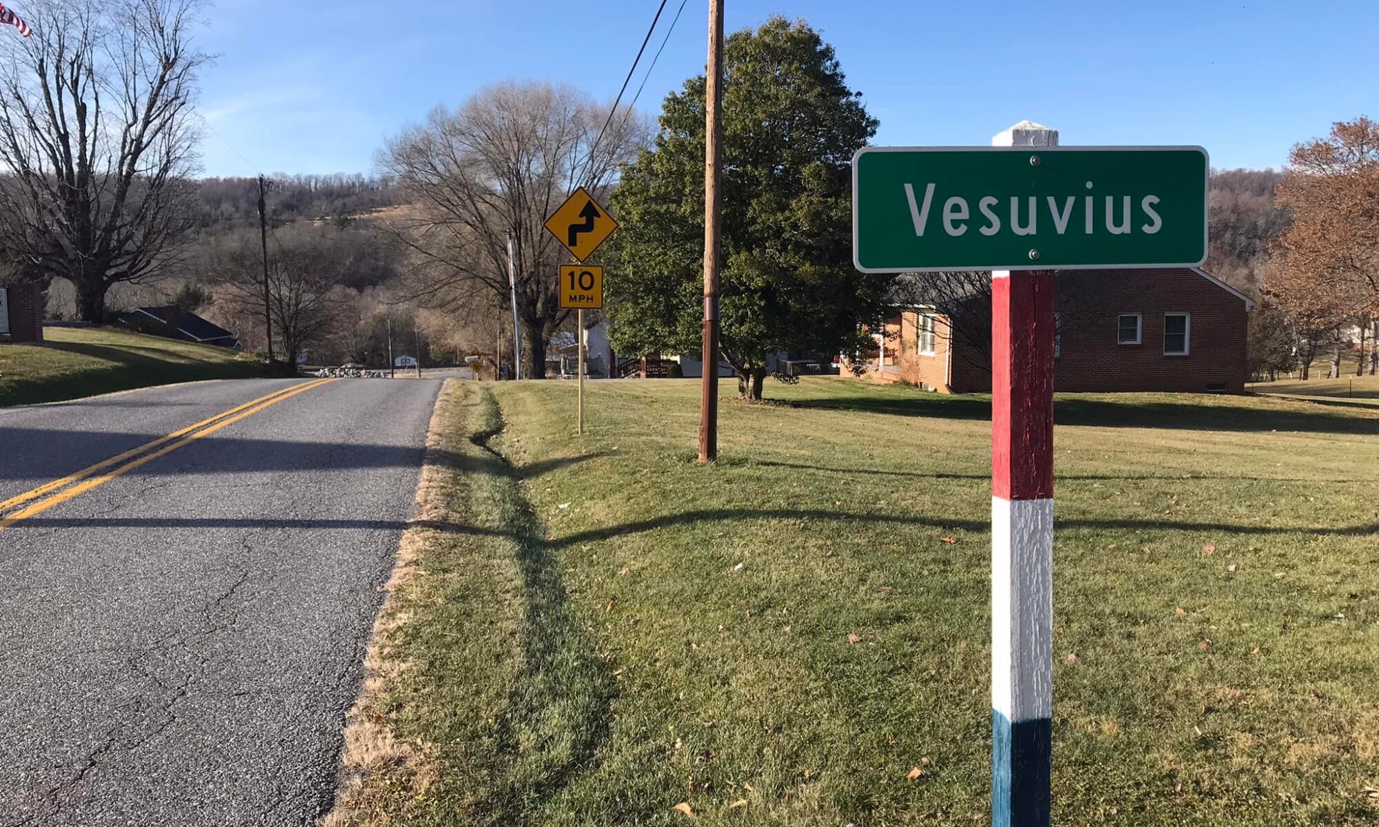
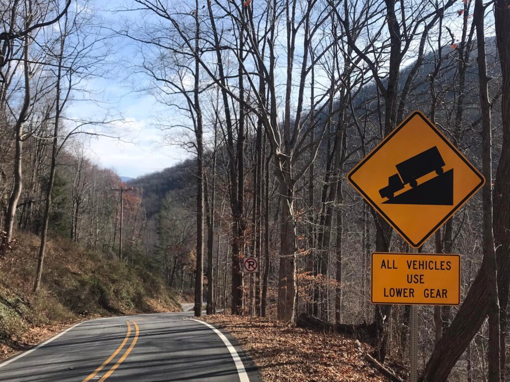
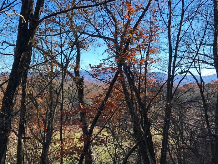
10. Oh Vesuvius. I cramped on this climb in 2007 and then was pulled off my bike by paramedics on the climb to Reid’s Gap. I vowed someday I would get revenge. In December I went and rode these climbs. Vesuvius was no problem but Reid’s Gap – I simply did not remember how hard of climb that is. The last mile is equal to that of Mount Washington. But I made it. Next up is Reid’s Gap revenge.
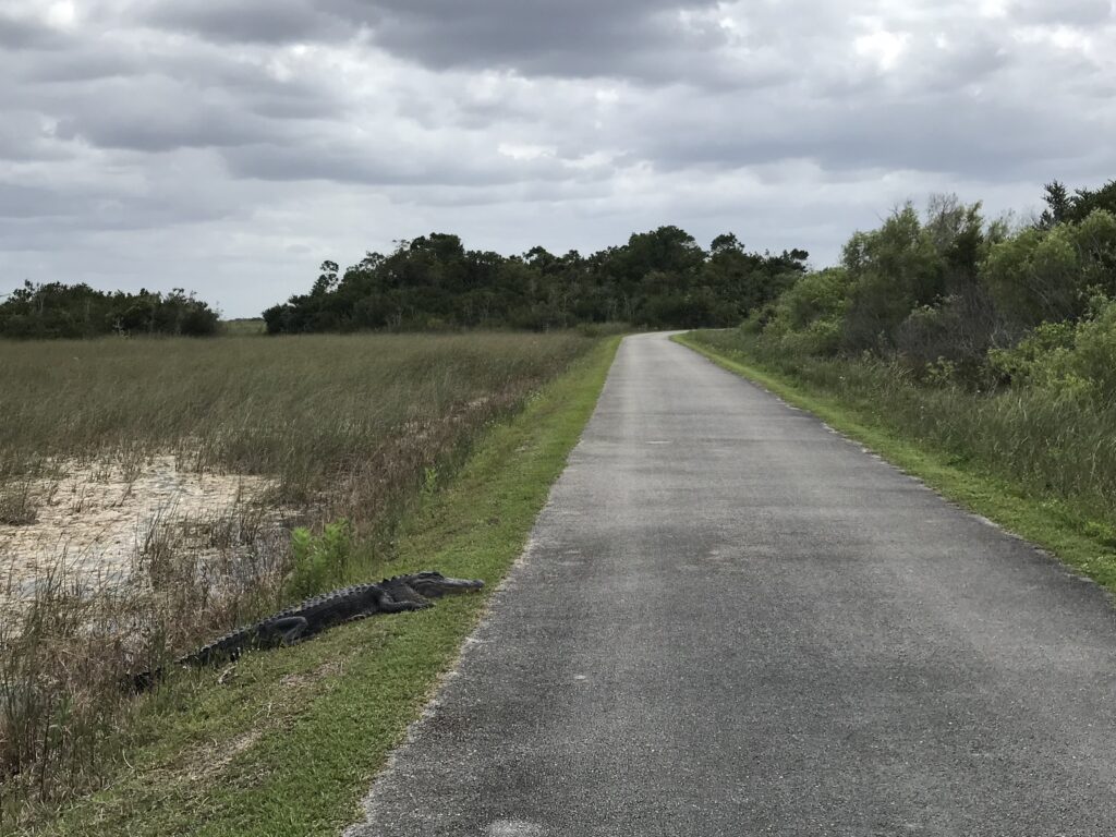
9. See you later Alligator 🐊 – In March I rode in Shark Valley in the Everglades and had to dodge alligators on the trail. What fun! I would like to ride this one again.
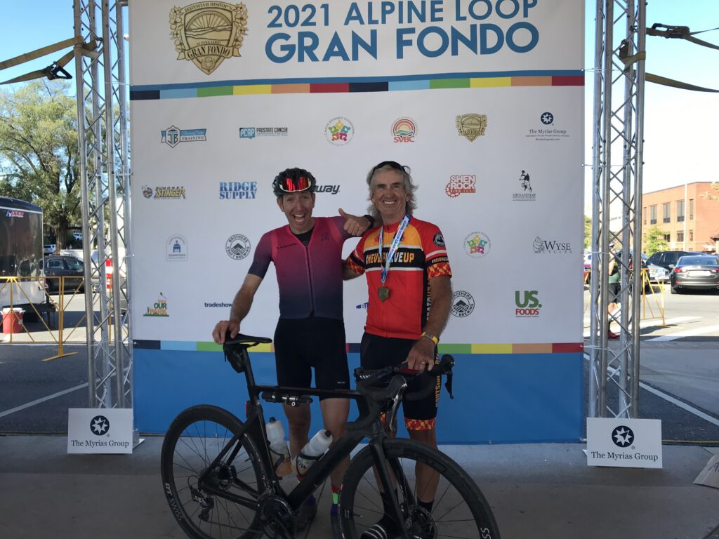
8. Alpine Loop Gran Fondo. So satisfying in many ways. I PR’d on Shenandoah Mountain and Reddish Knob and Mole Hill. I finished second in my age group but my granddaughters were on course and at the finish to see me. This was very satisfying.
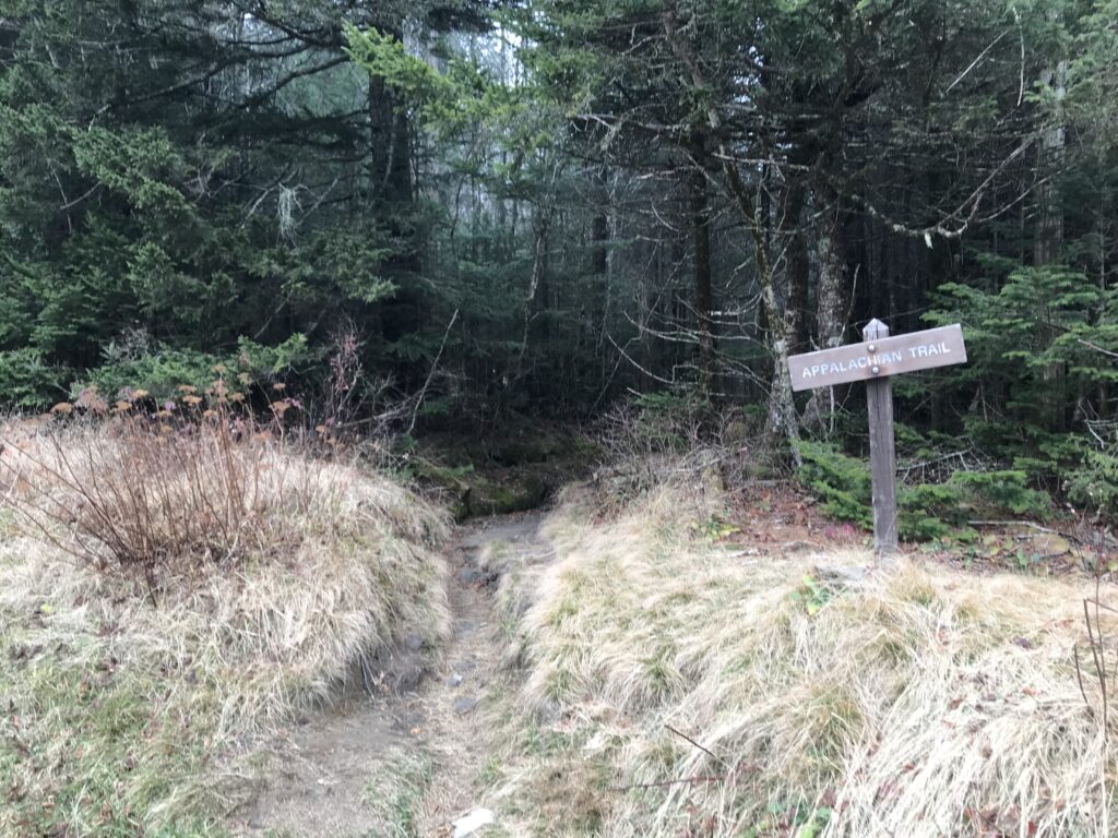
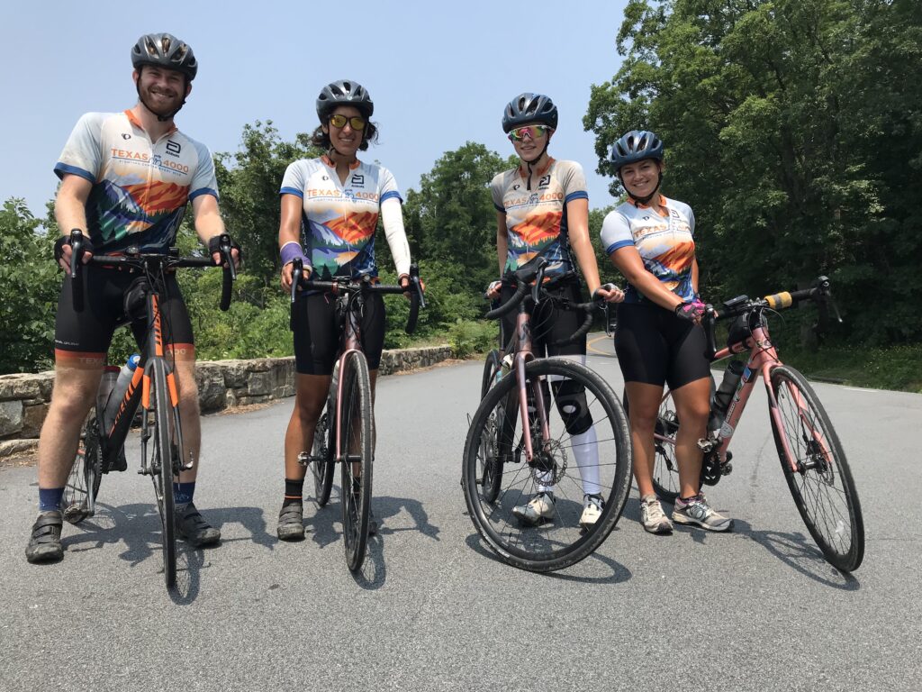
7. Texas4000. When Canada closed their border it forced the Texas4000 to reroute. They created a Smokys route which came through Virginia. We gave them a lunch stop in Linden and I rode with them on Skyline Drive.
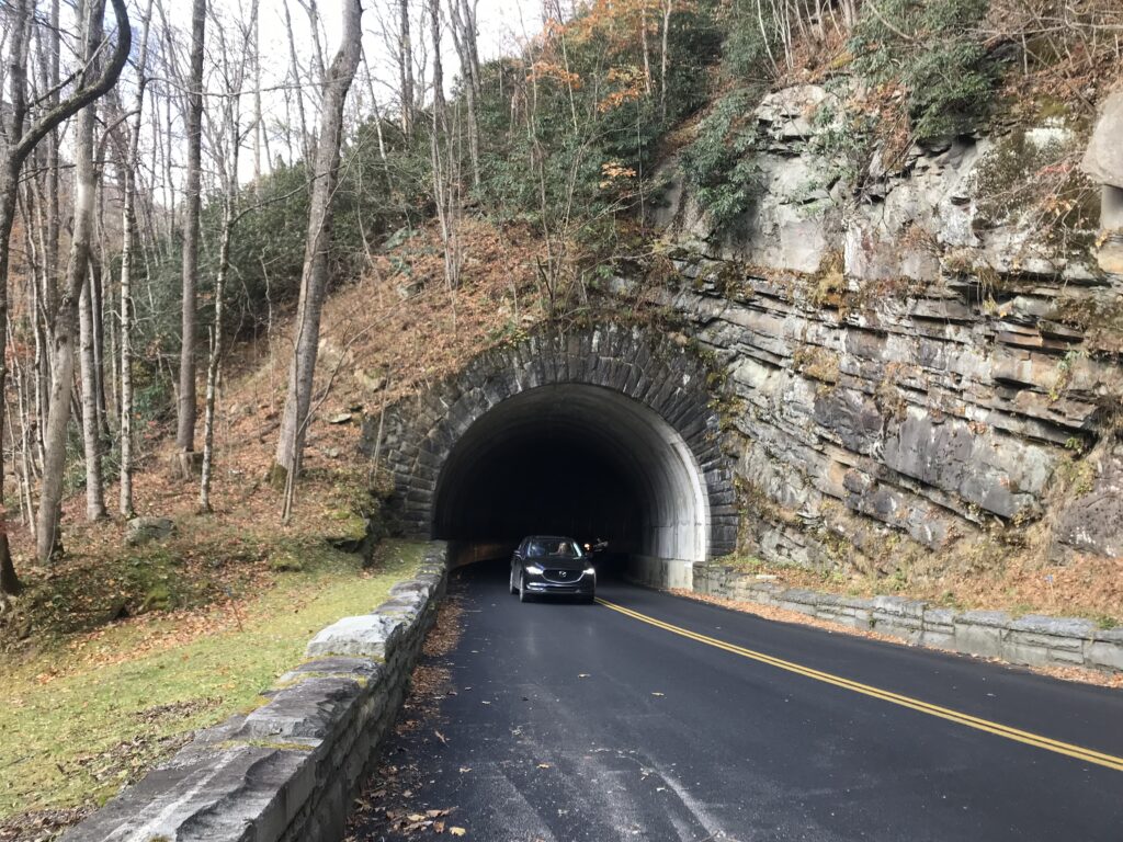
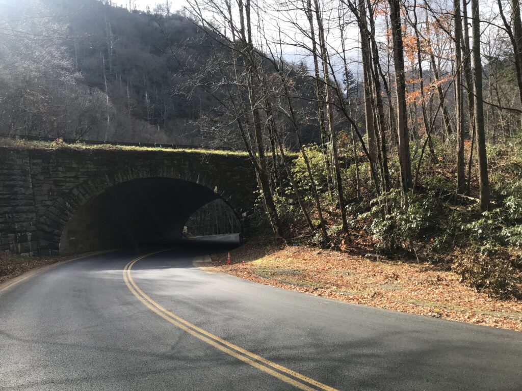
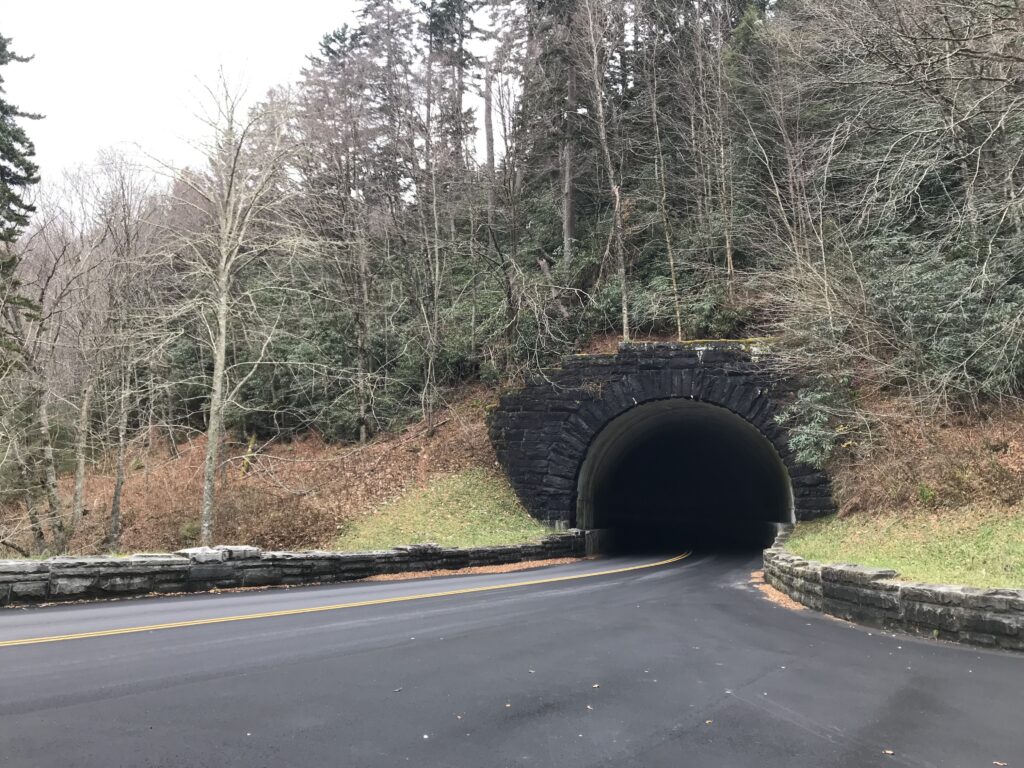
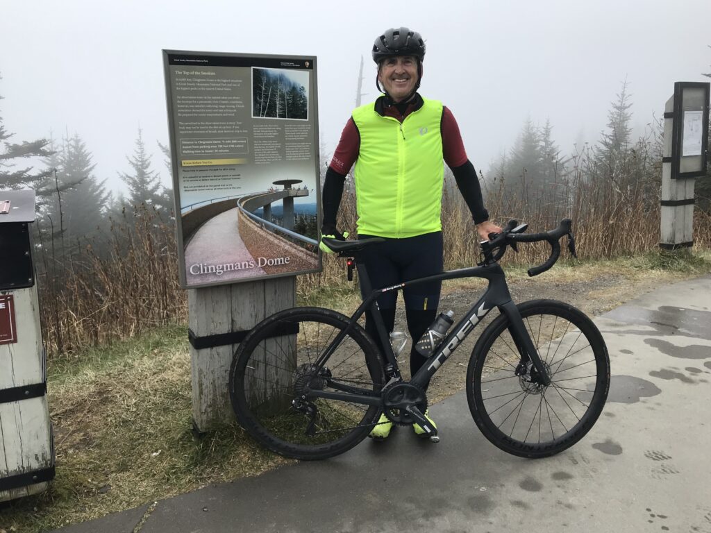
6. Clingman’s Dome. This was not quite a bucket list climb but in November I was able to ride from the visitors’ center at the Great Smoky Mountains National Park to Clingman’s Dome. Visibility was near zero at the top and this was the climb only. No descent. But still a great memory.
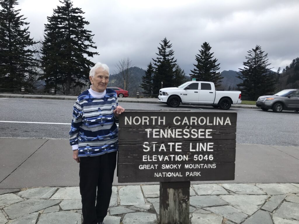
She drove to the top while I rode up.
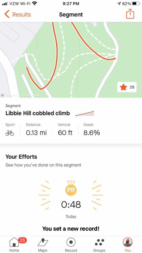
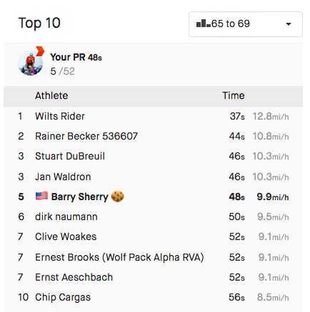
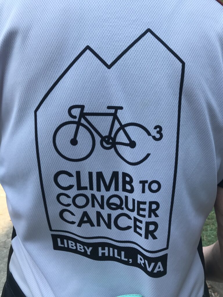
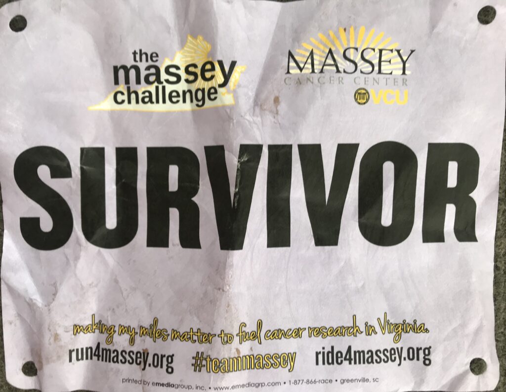
5. Ride to Conquer Cancer. Enjoyable ride in which I was concentrating on settings PRs (I was riding solo). At Libby Hill I did a PR which appeared good enough for the age group classification. But I don’t think their age groups align with Strava. But a happy ride fighting cancer. ♋️
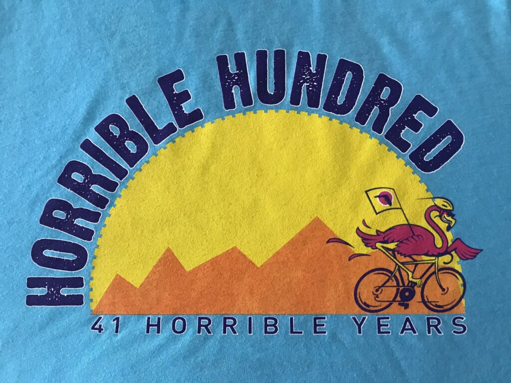
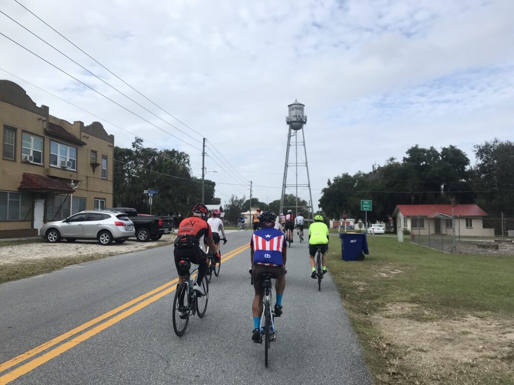
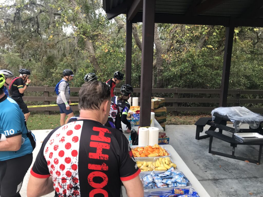
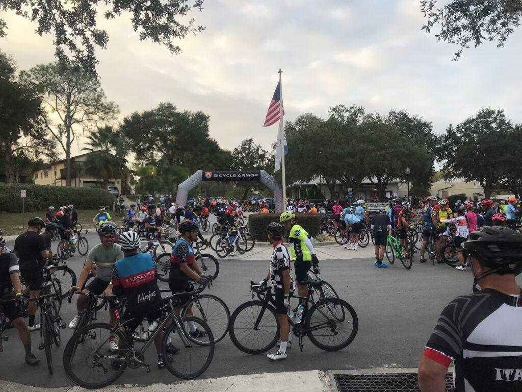
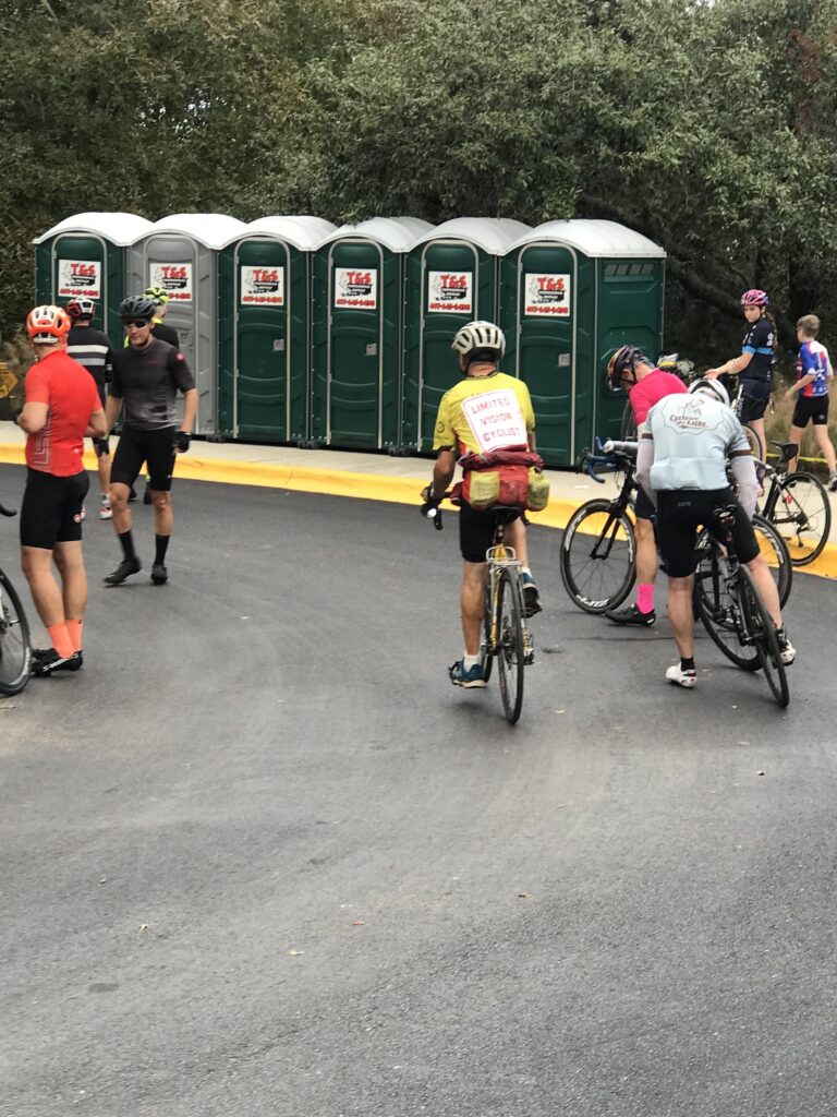
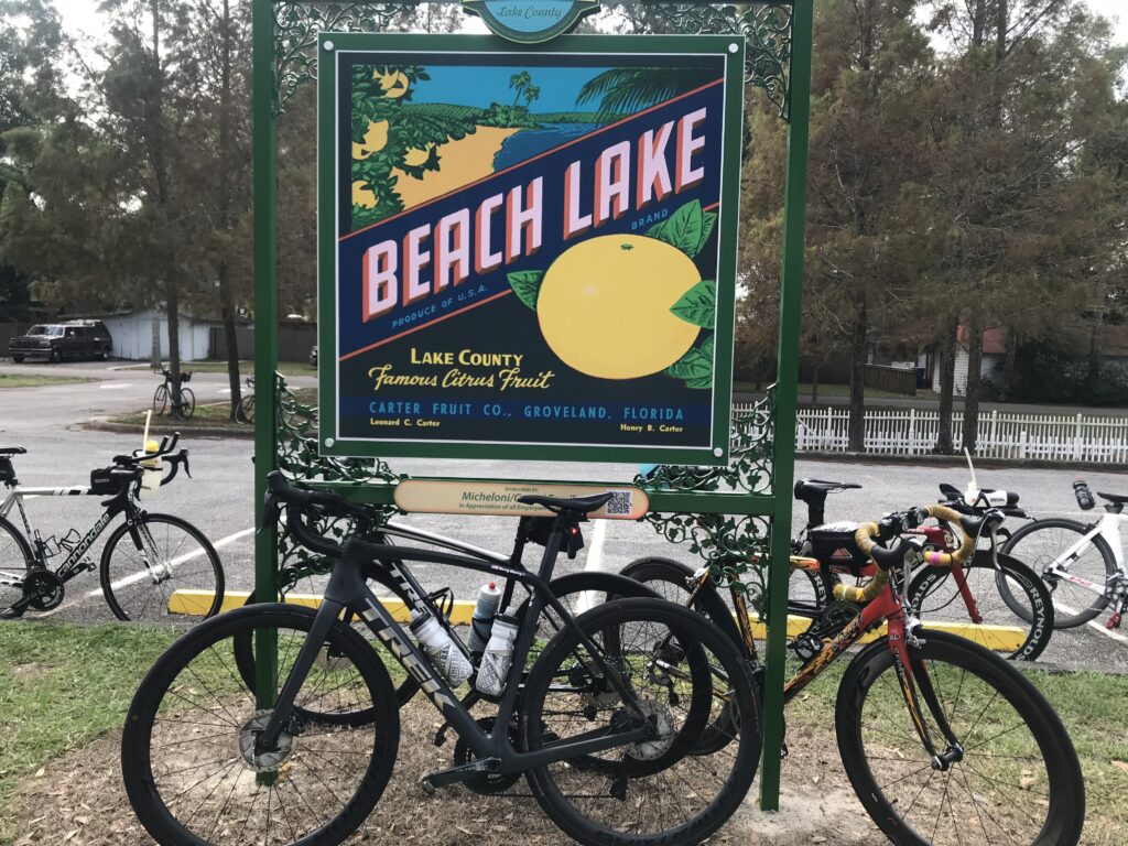
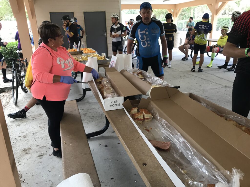
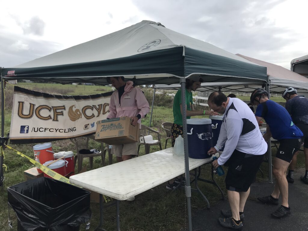
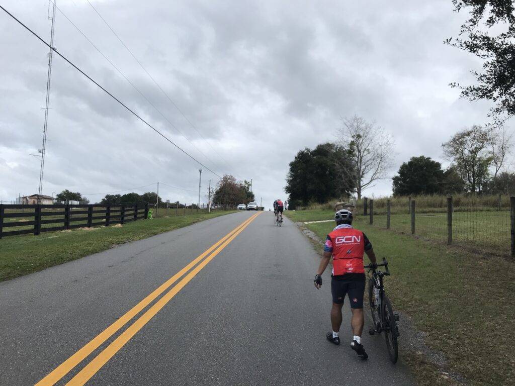
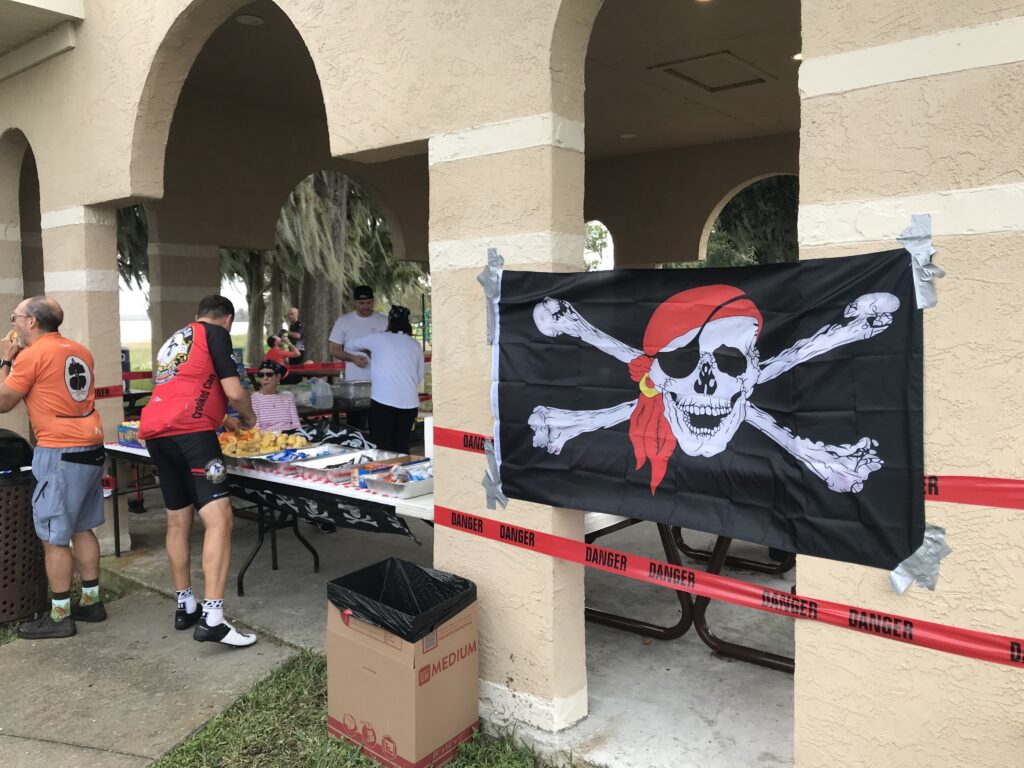
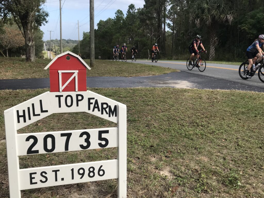
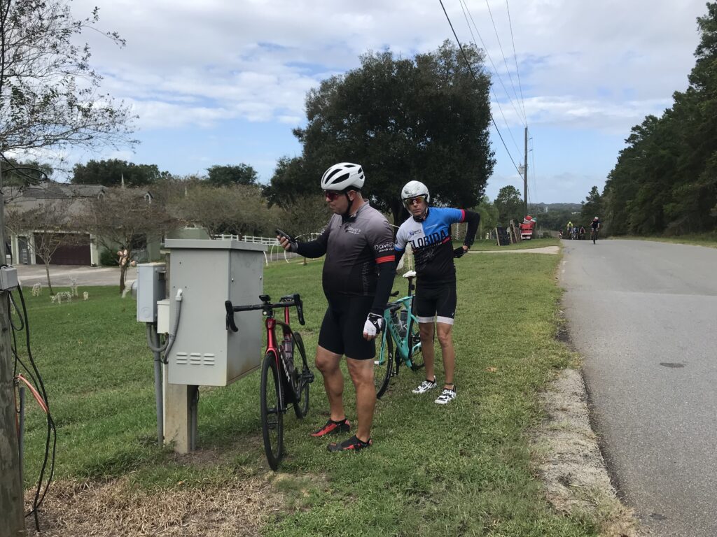
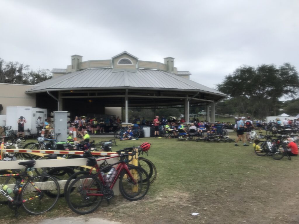
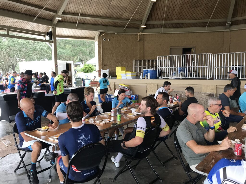
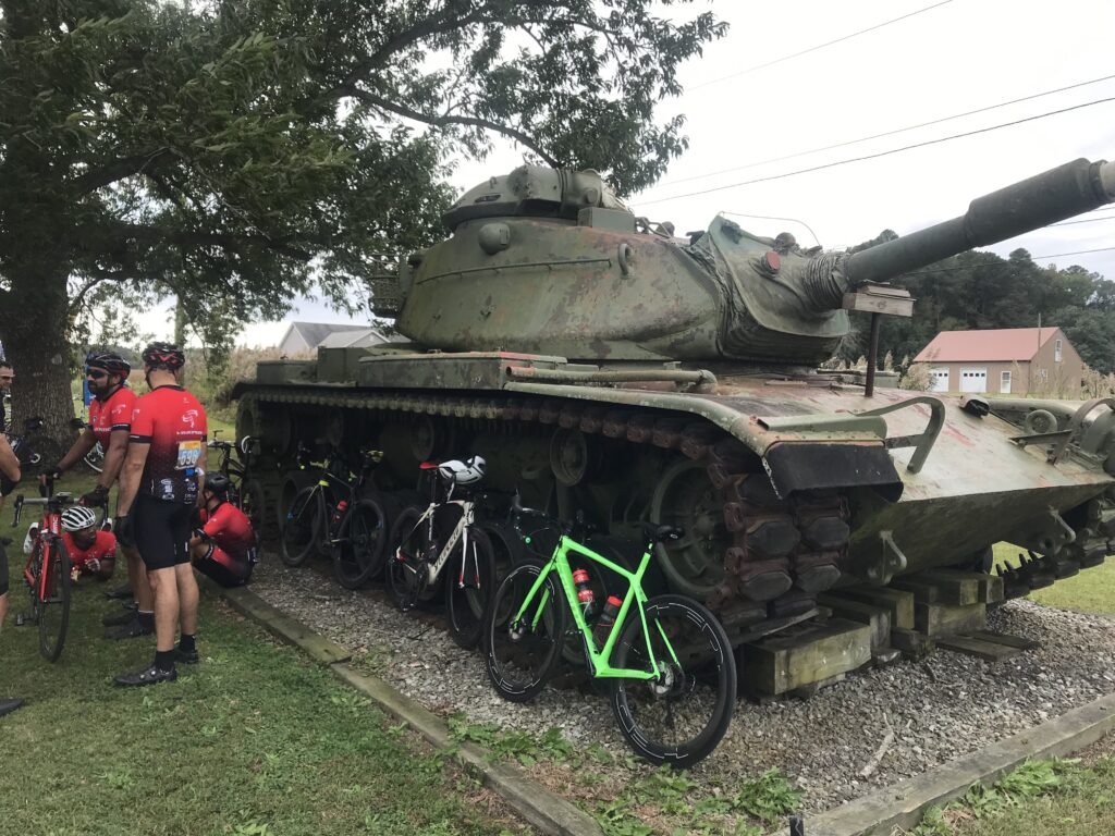
4. Horrible Hundred. This can be a two-day event and I made it that. We enjoyed a sensible paced group ride on Saturday then John Dockins joined me for the first 30 miles on Sunday’s century ride.
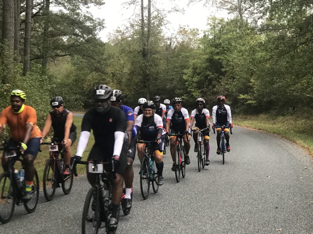
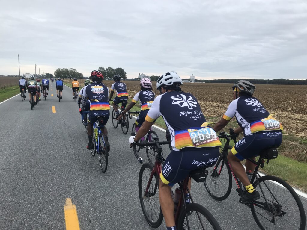
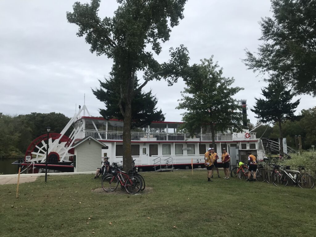
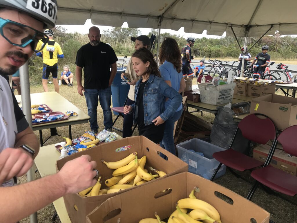
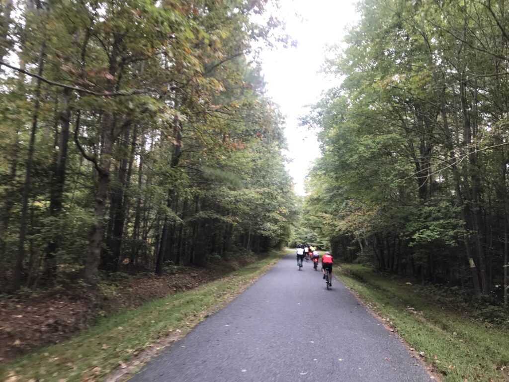
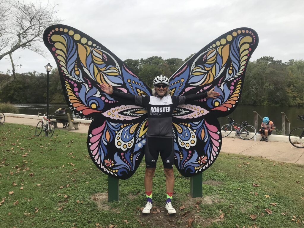
3. Sea Gull Century. A ride I always look forward to each year. Although I rode solo I enjoyed jumping in with some of the many Major Taylor Cycling Club groups. They were awesome people.
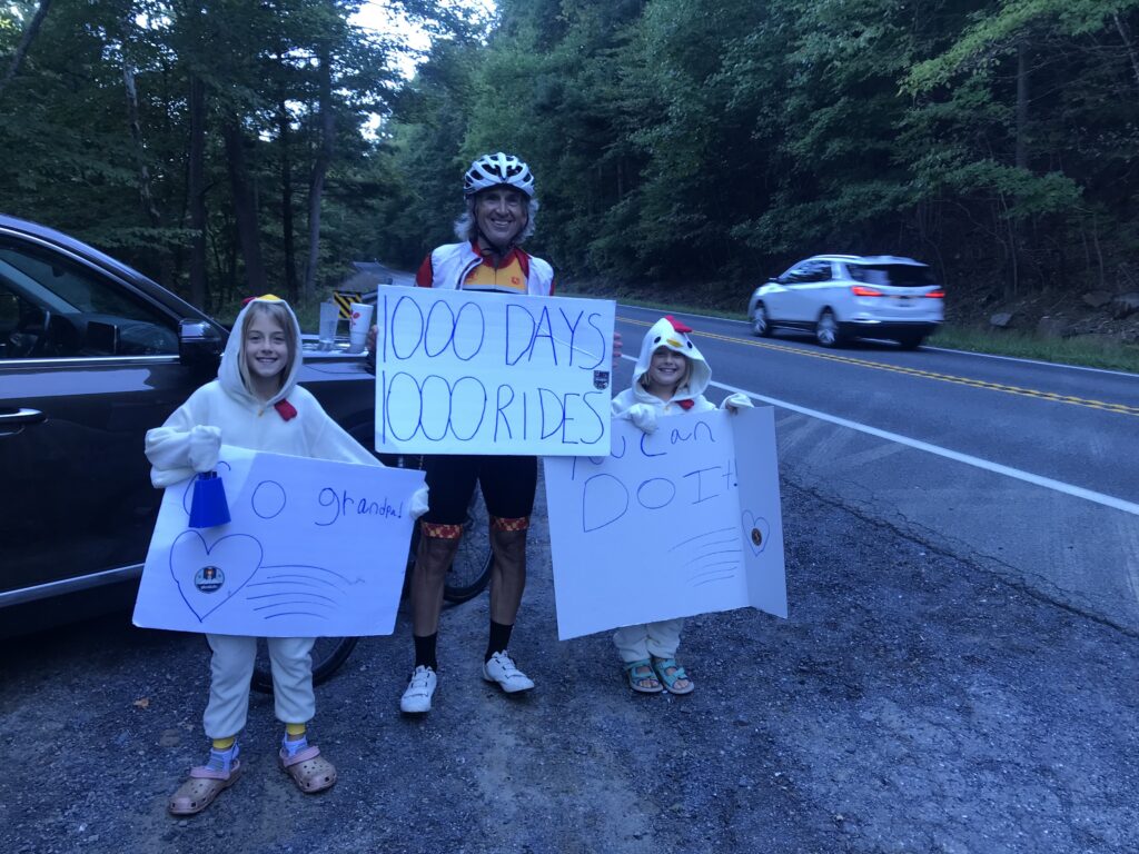
2. 1000 Days – 1000 Rides. I started in 2019 to celebrate 10 years of survivorship. I rode at least 10 miles every day. And like a bad cycling Forrest Gump impression, I kept riding and riding. On September 26 I hit 1,000. By year’s end, it was 1,096 days and counting.
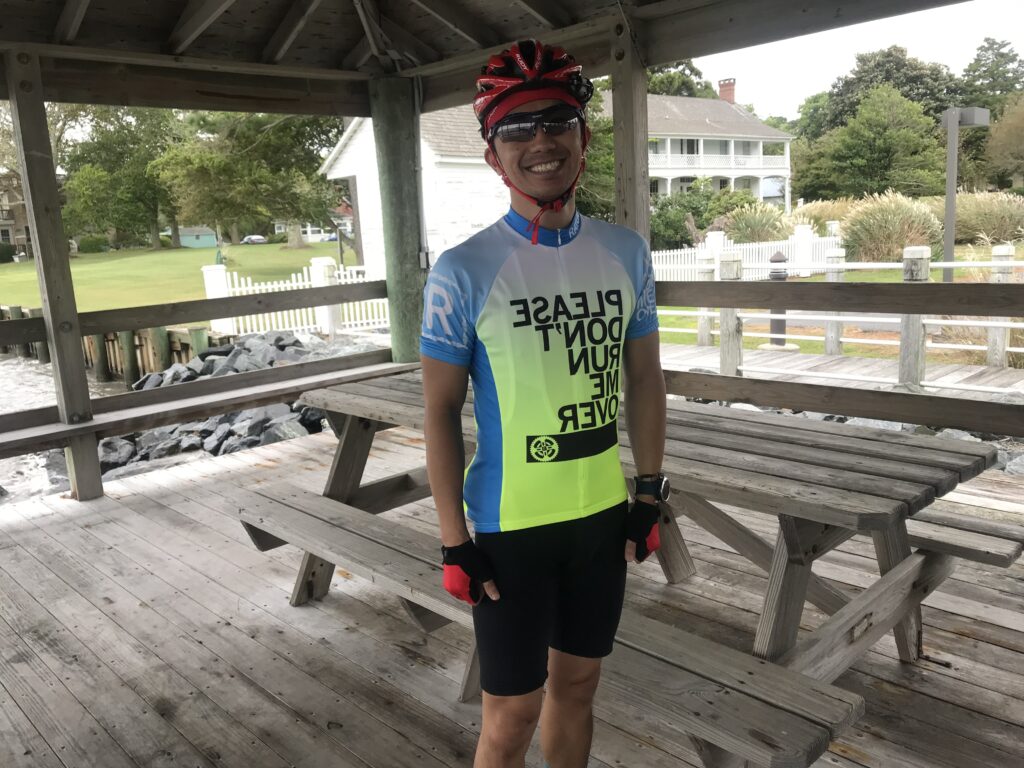
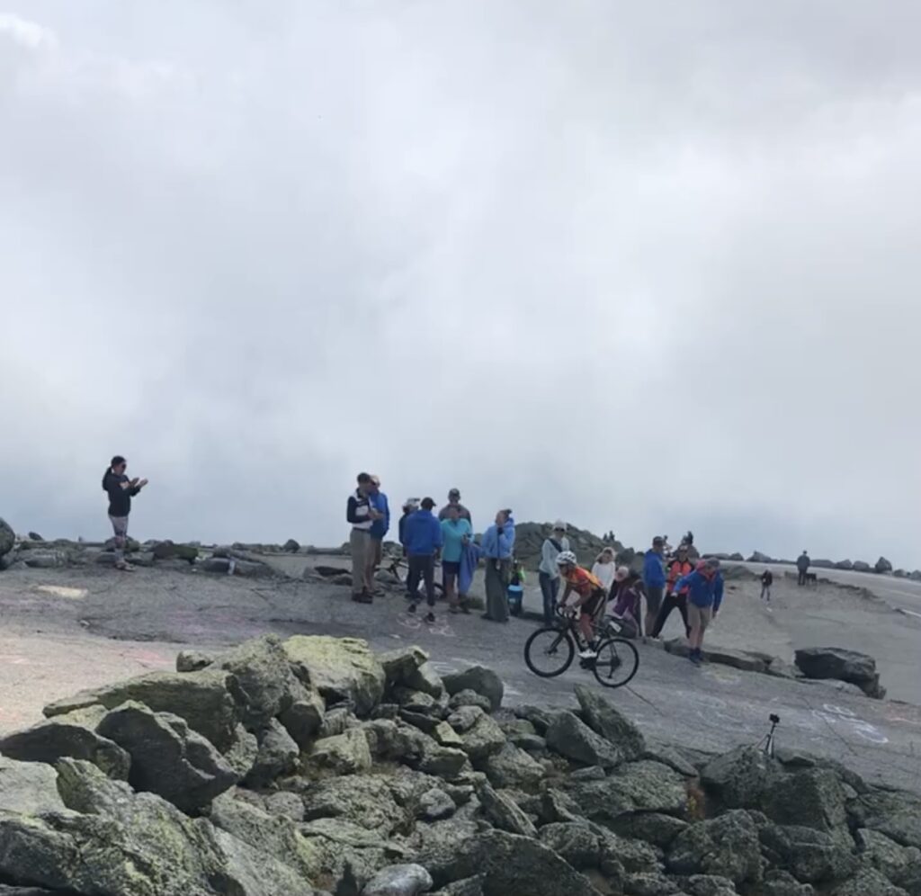
1. MWARBH. (Otherwise known as Mount Washington Auto Road Bicycle Hillclimb) I walked (rode?) away in 2014 after my eighth hillclimb content to never do this event again. Earlier this year I was drawn to the mountain. My time sucked (my worst ever) but it sure was satisfying to finish.
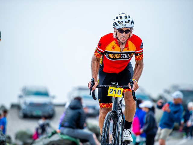
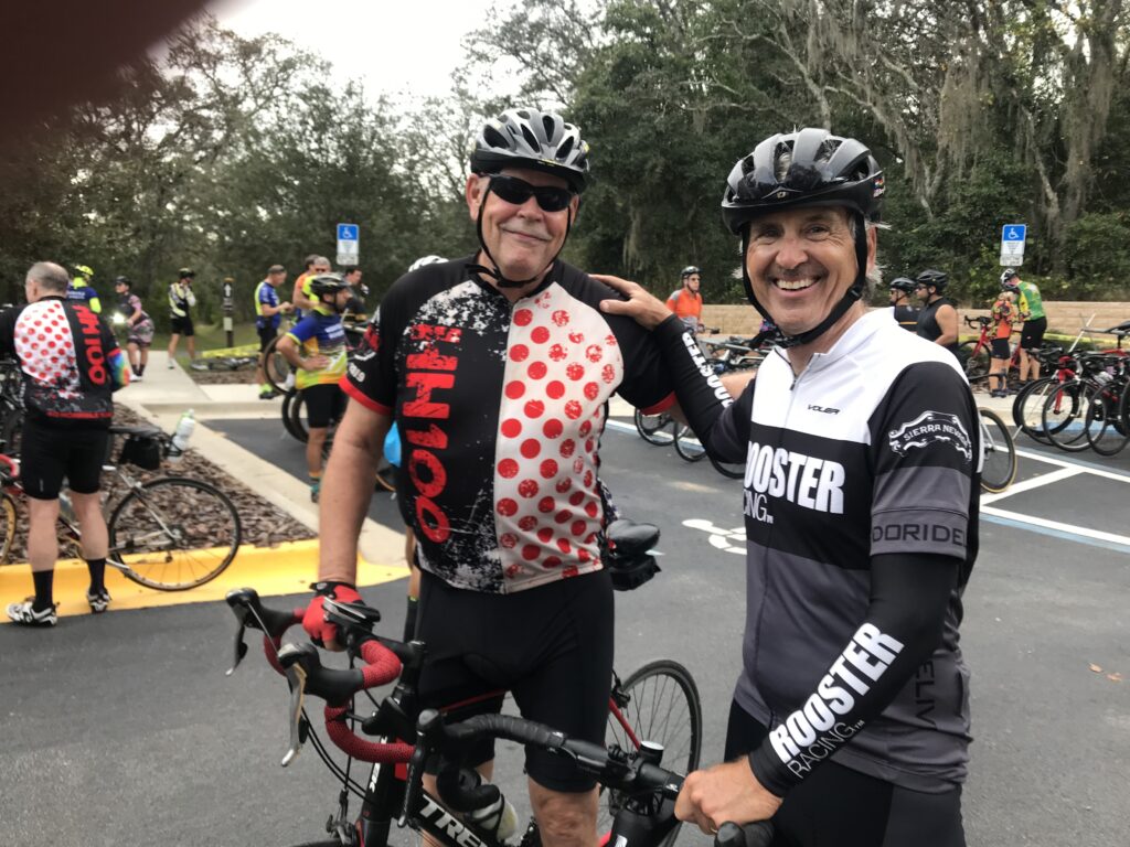
Photo Credit: Joe Vigar Photography
Not quite a Top Ten but had many other memories as well.
TWO RIDES TO PUNXSY
I have been doing a version of this ride from Somerset to Punxsutawney since 2010. It was always one way to a family reunion and I depended on my parents for a ride back after the reunions. I always looked forward to stopping in Northern Cambria to visit Don & Nancy (both now deceased) and with my dad deceased and my mother getting up in age, I think I probably rode this 70-mile route for the last time.
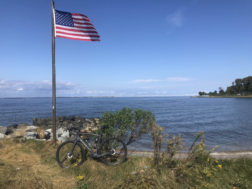
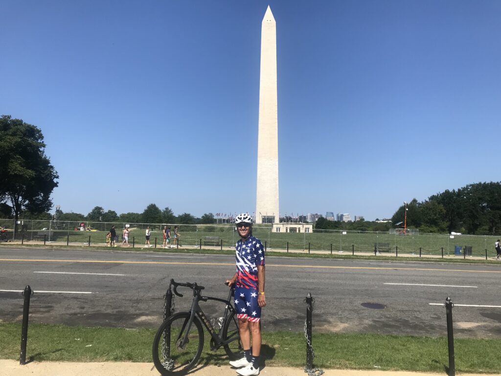
BEST REPRESENTATION OF UNCLE SAM
DID I MISS THE FERRY?
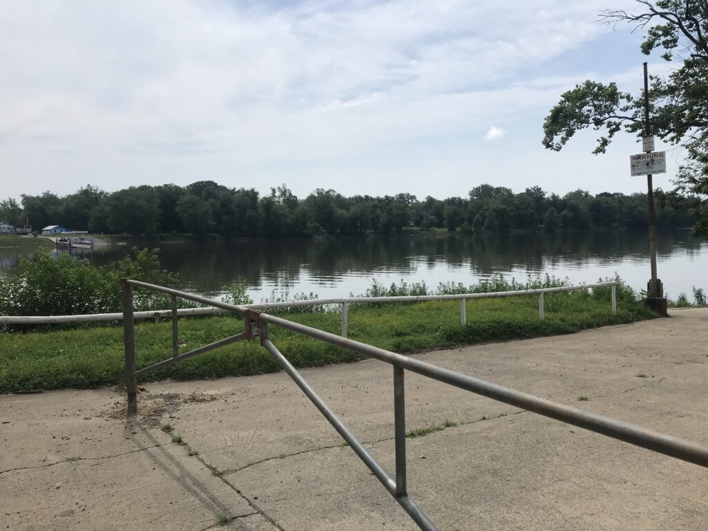
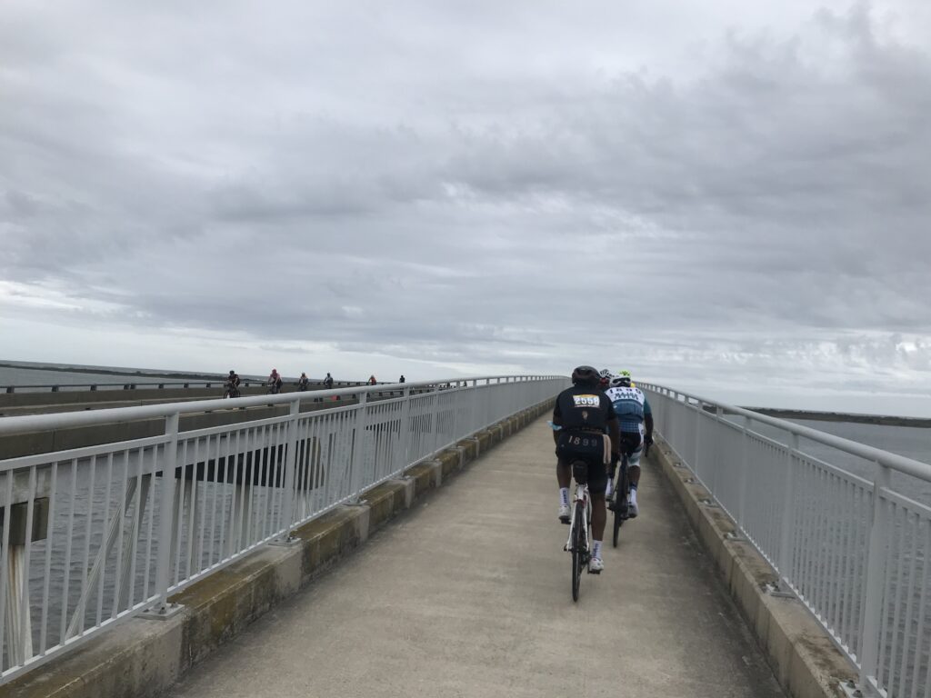
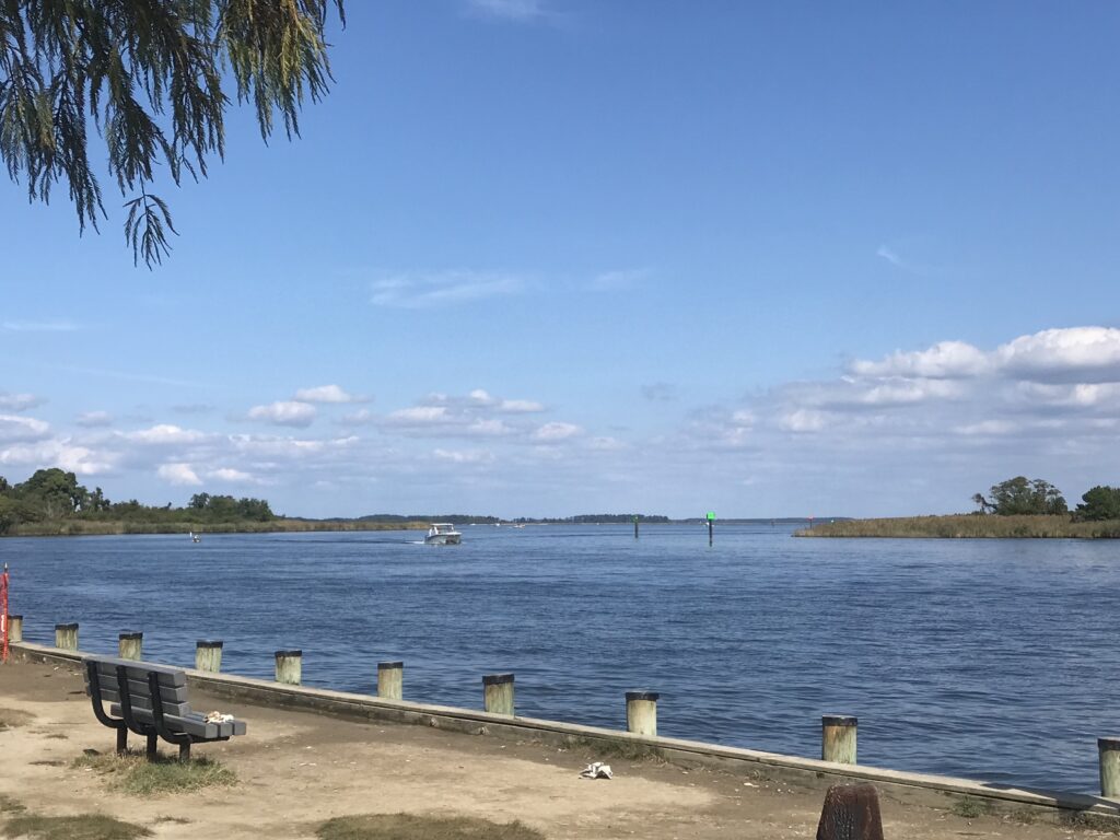
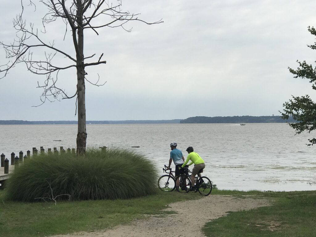
The Historic White’s Ferry, connecting Loudoun County, Virginia, and Montgomery County, Maryland, remained closed for the year, denying commuters easy access and this cyclist many good miles in Maryland. Will it finally reopen in 2022?
BEST ROAD RIDING
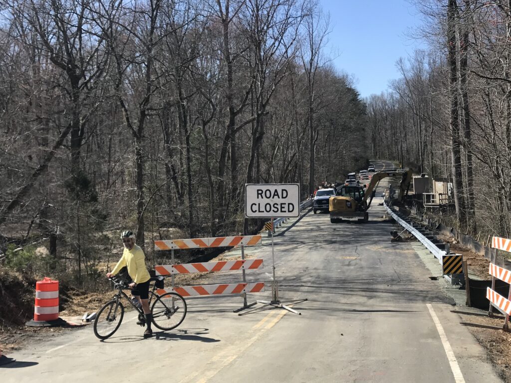
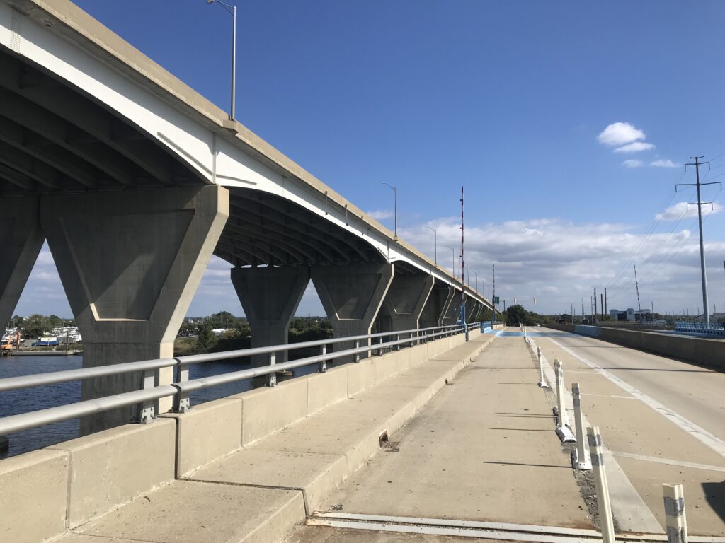
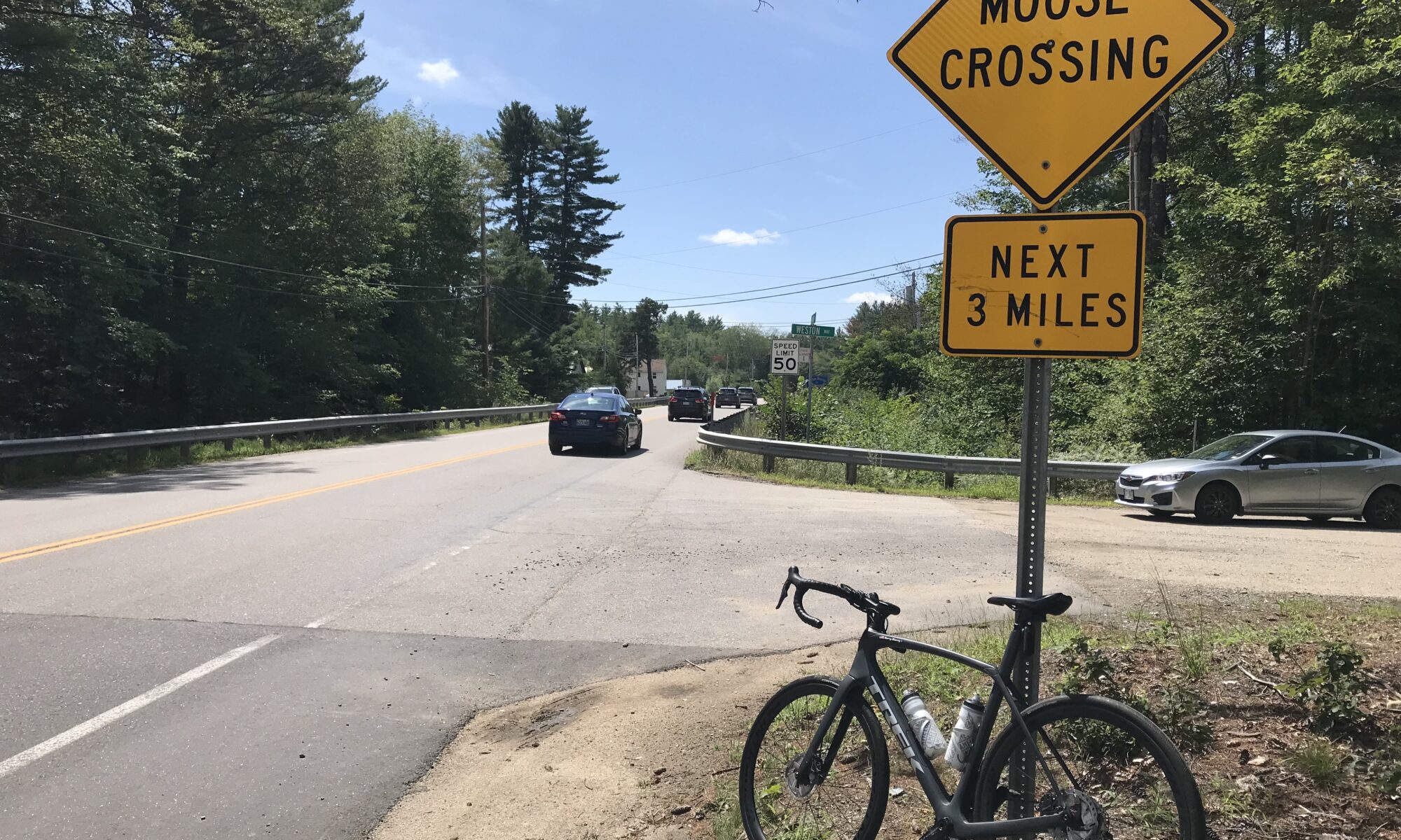
Joplin Road in Prince William County is a windy two-lane road that connects Quantico with Independent Hill. With no shoulders and blind crests and curves, it is normally too dangerous for cyclists. But a bridge was out and made this road perfect for riding. Unfortunately, the bridge repairs were completed by early April and the road is again, best left not ridden.
I WISH I COULD DO THIS AWARD
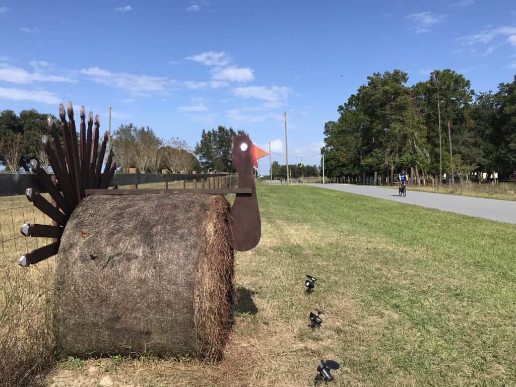
CUTEST ANIMALS
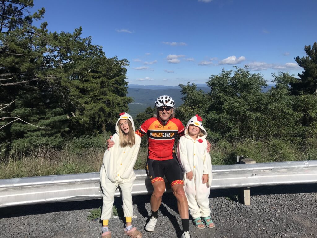
These chickens were on the summit of the climb over Shenandoah Mountain, U.S. 33, West Virginia. I love them like they’re family.
PASSED BY THE KID
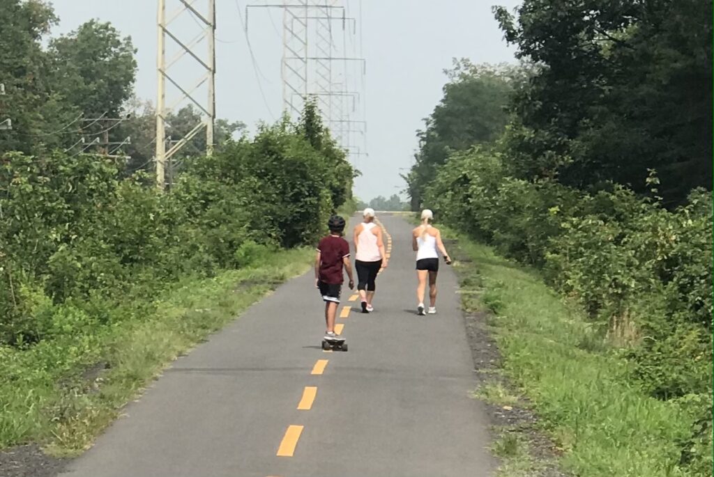
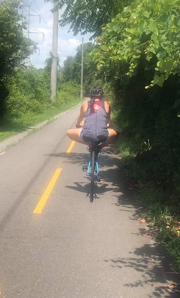
On July 21 near Ashburn. Va., my radar showed a cyclist was gaining on me. I was surprised when this kid on a motorized skateboard passed me. He told me “these things can go really fast.”
WAIT – OHIO IS TOP TEN TOO
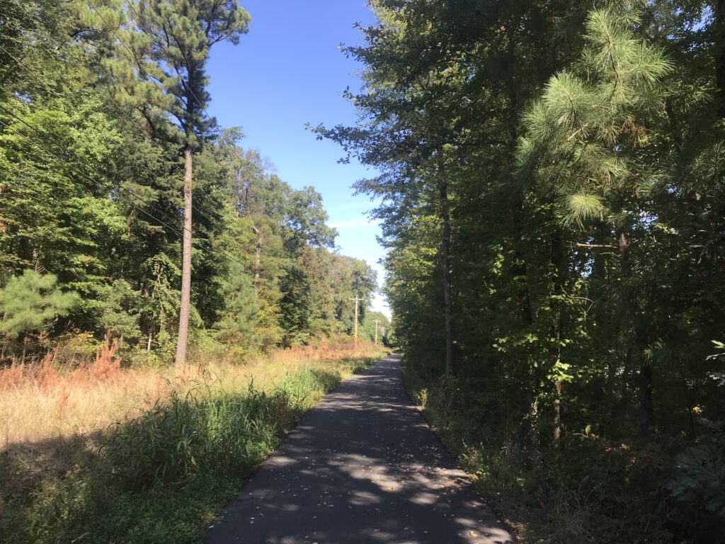
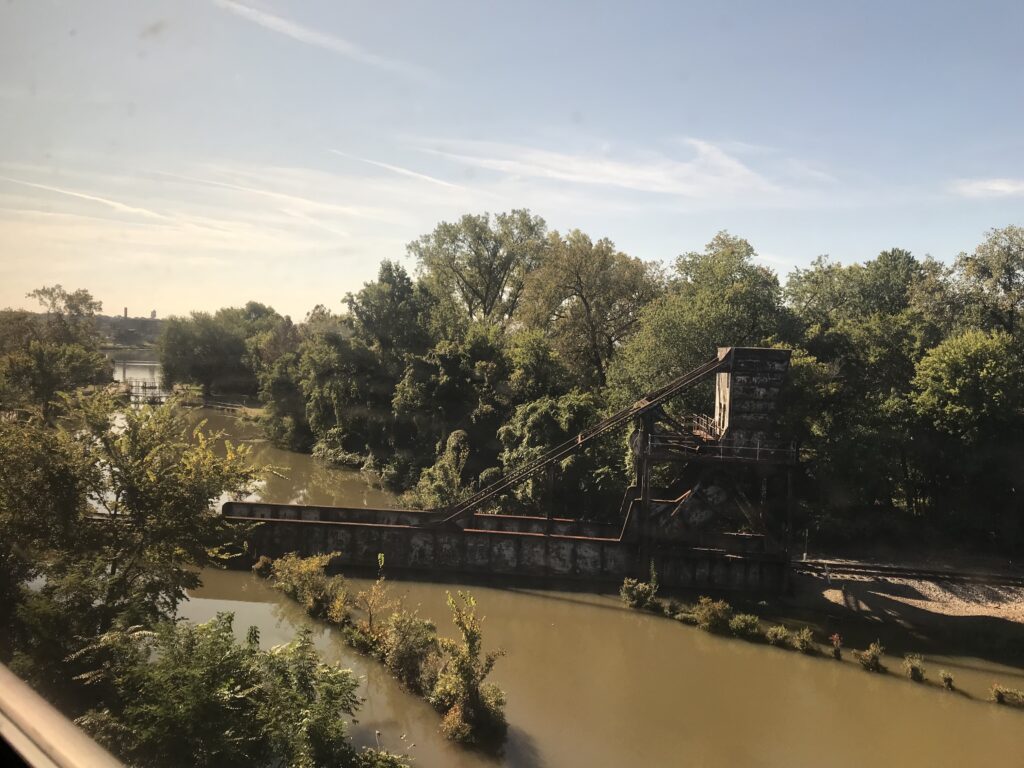
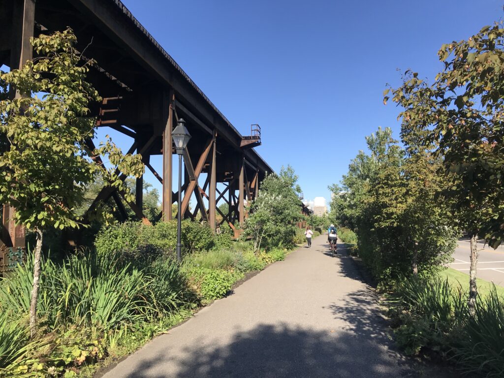
In July I rode from Springfield, O. to Cincinnati and back on the Little Miami Scenic Trail, a distance of about 80 miles each way. Paved rail trail the entire way.
BIRTHDAY RIDE
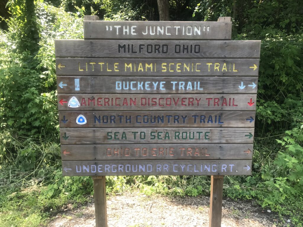
Last year I bonked badly on a mountainous birthday ride (one mile for every year) in Altoona, Pa. (they have mountains). I vowed this year I would do my birthday ride in Delaware. I didn’t make Delaware but I did make Ohio and rode from Springfield, O. to Cincinnati (Milford), Ohio.
ALMOST A GONER
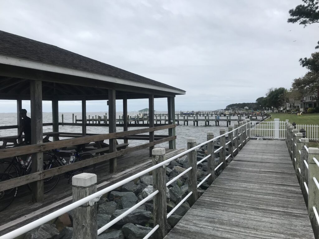
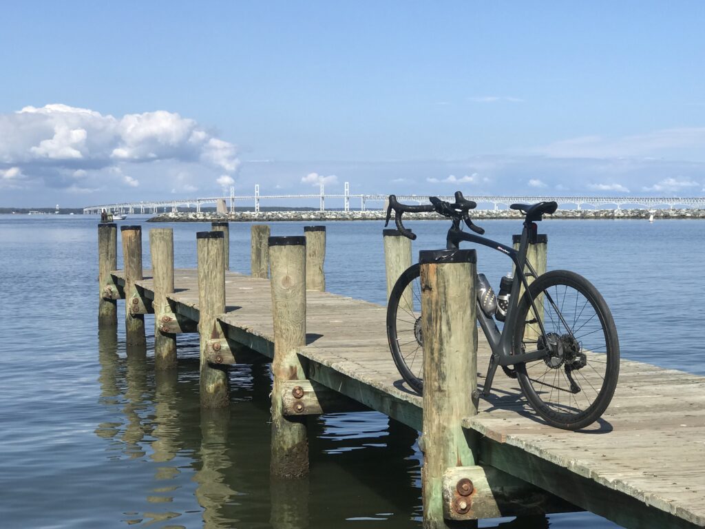
Tim and Connor went out on the pier into the Potomac River and Connor almost lost his bike. We would have saved the bike.
THAT’S A LOT OF FLATS
Before I rode on Sept. 24 I had a flat that I changed. At Fosters in Manassas it “blew” a second time so I changed it there. When I got home it flatted again so I gave up. Diagnosed it as a hole in the rim tape and replaced it the next day.
HELPING THE HOMELESS
I passed a woman on the bike path next to the Prince William landfill. I saw she was wearing trash bags so I went home and made a Care package for her. She refused all clothing but accepted the food. I’ve seen her twice since and she no longer makes eye contact.
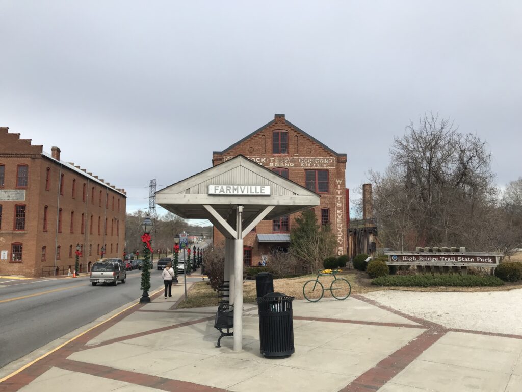
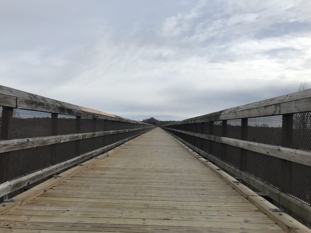
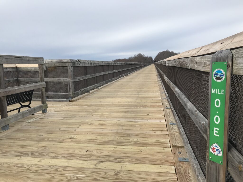
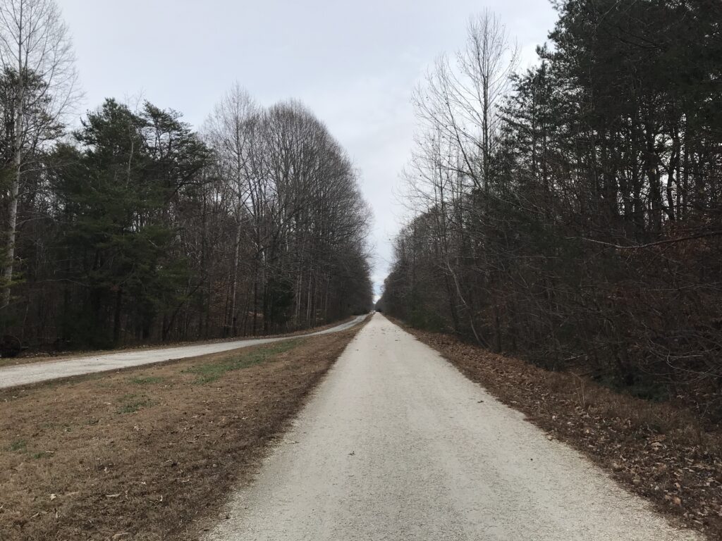
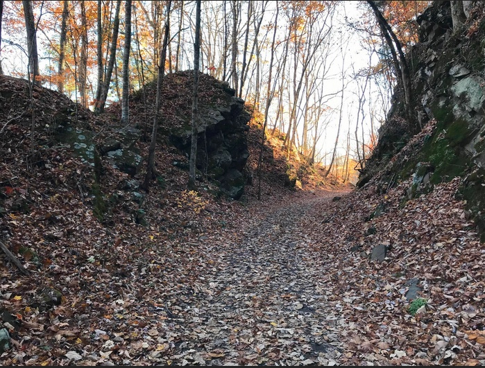
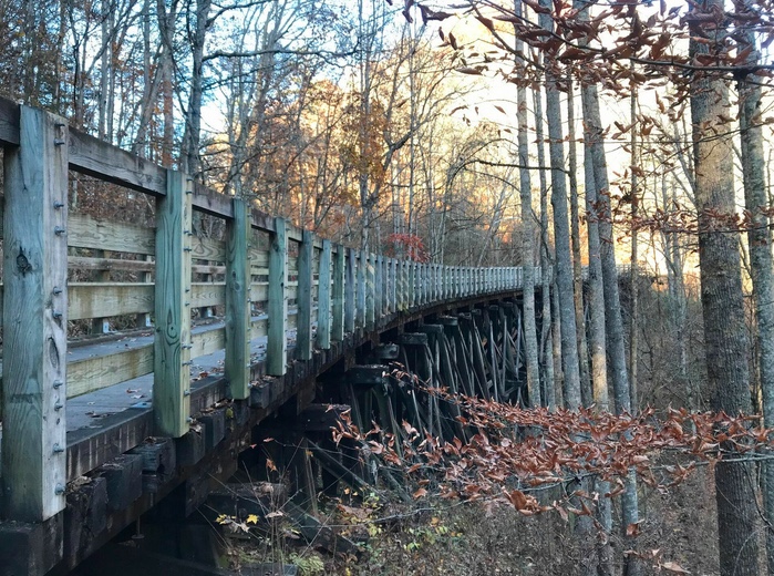
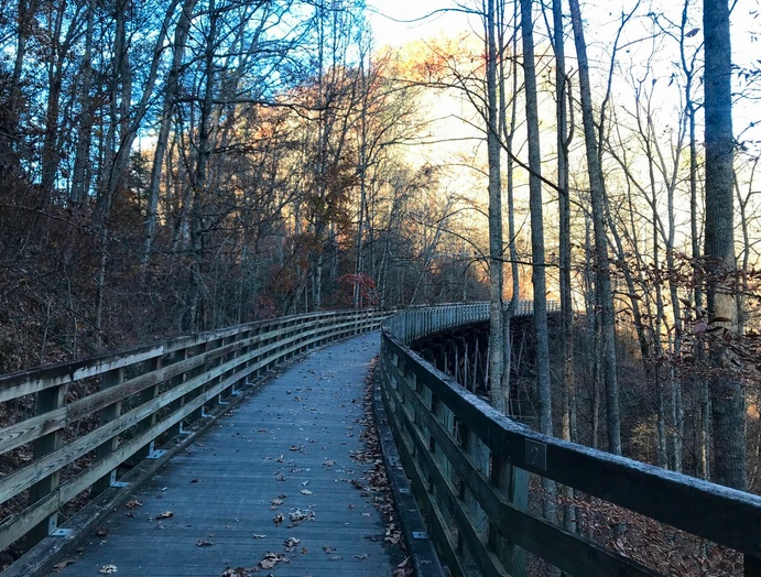
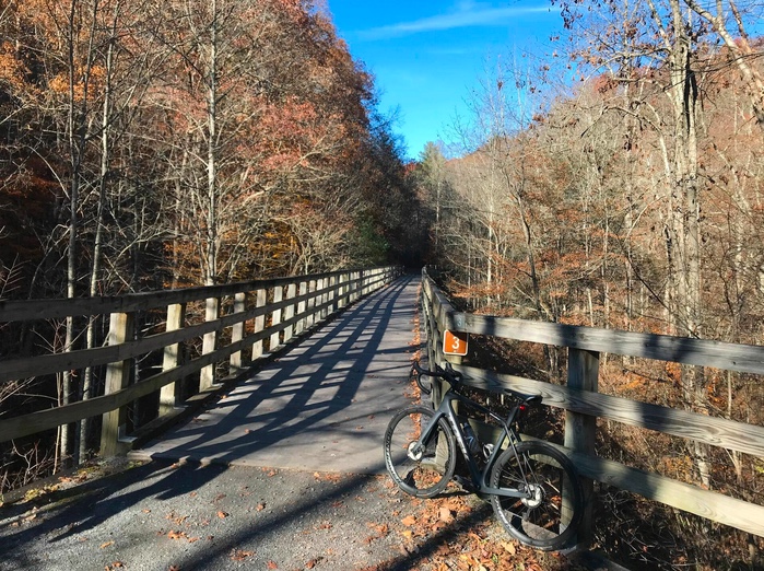
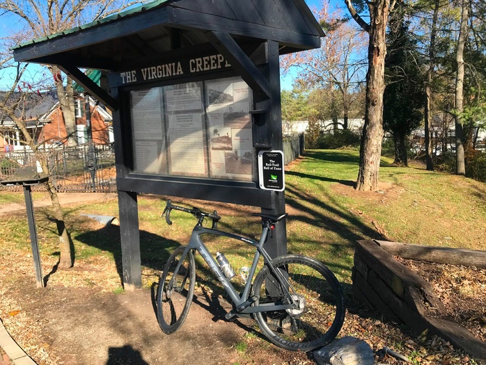
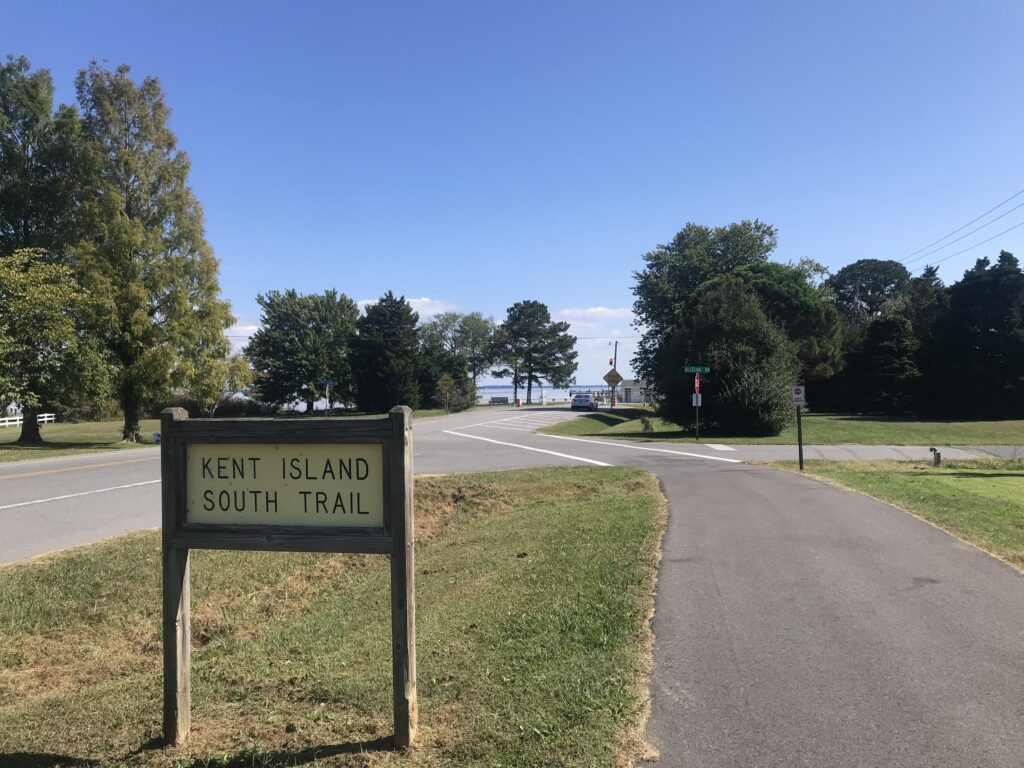
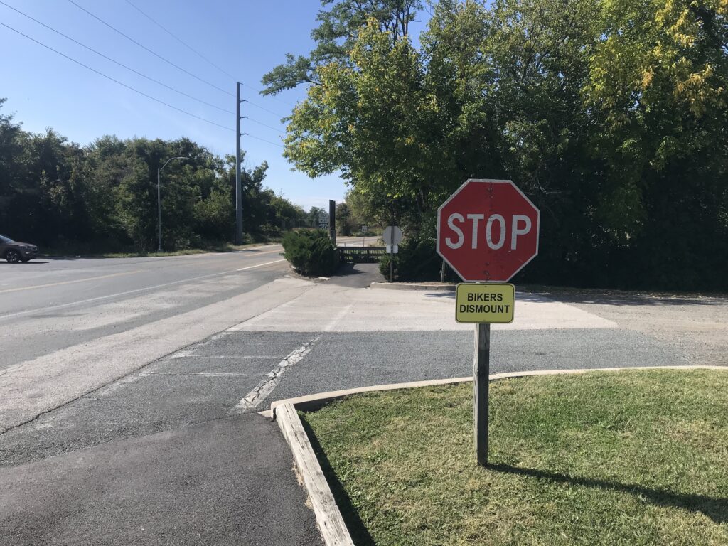
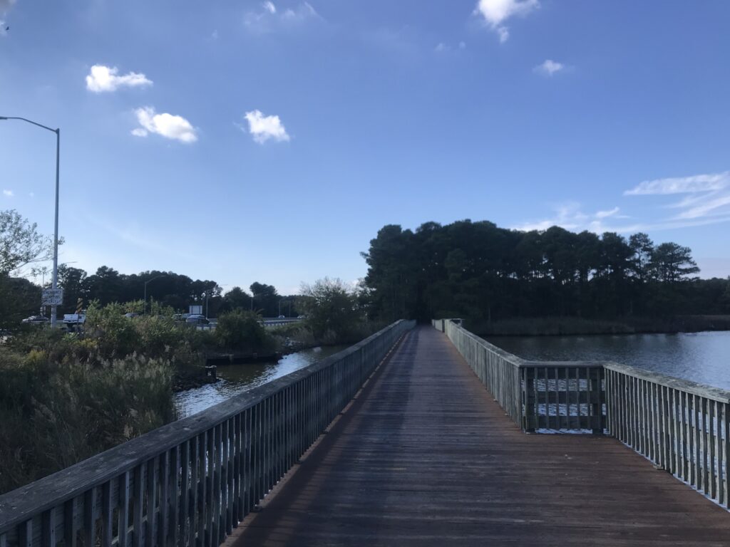
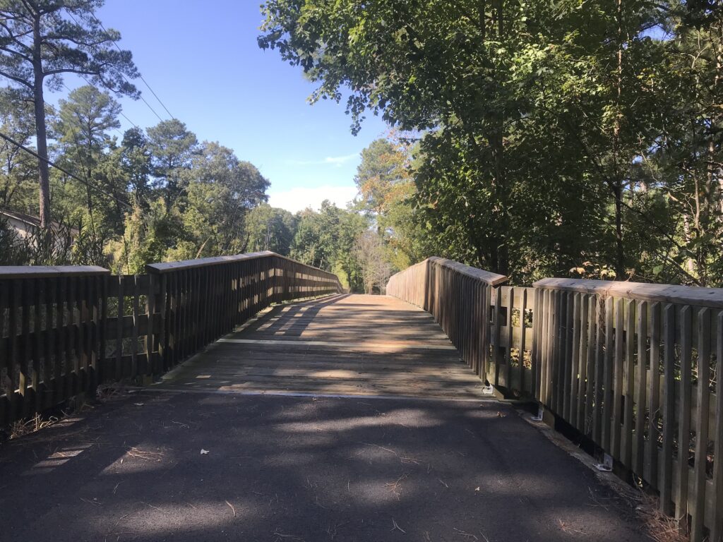
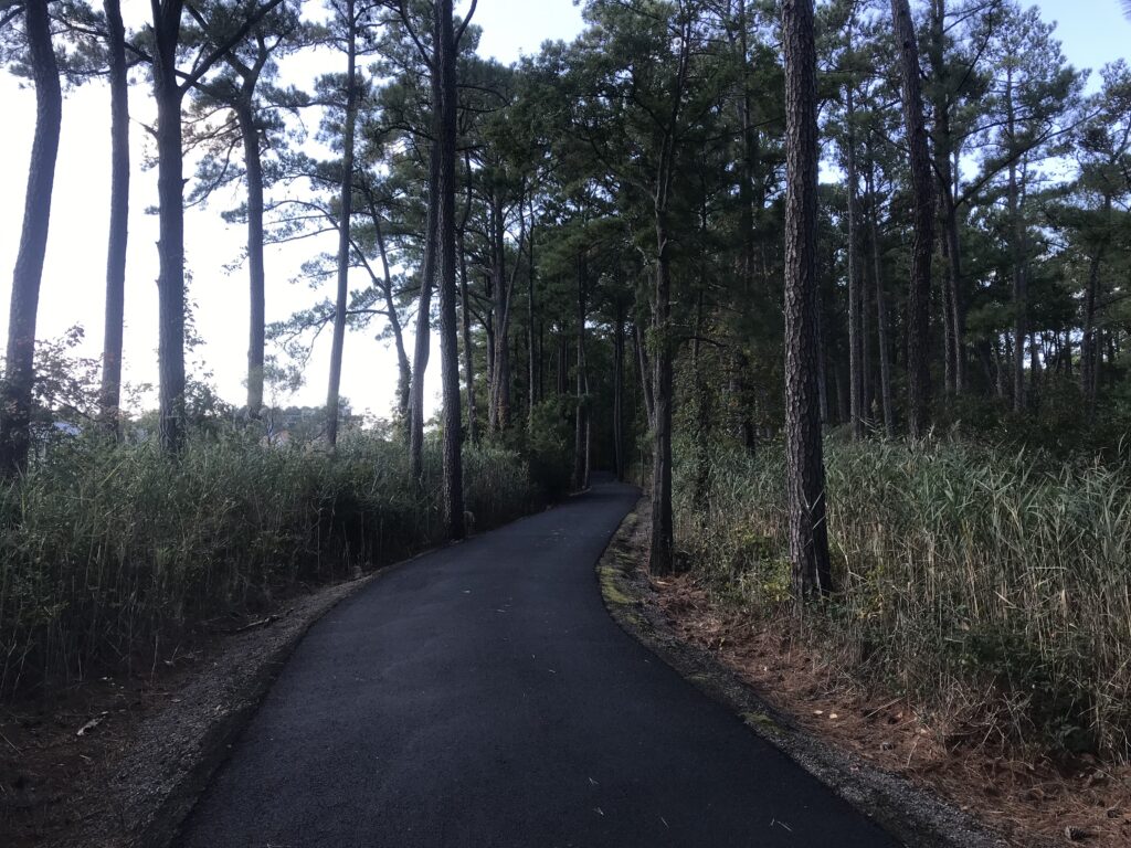
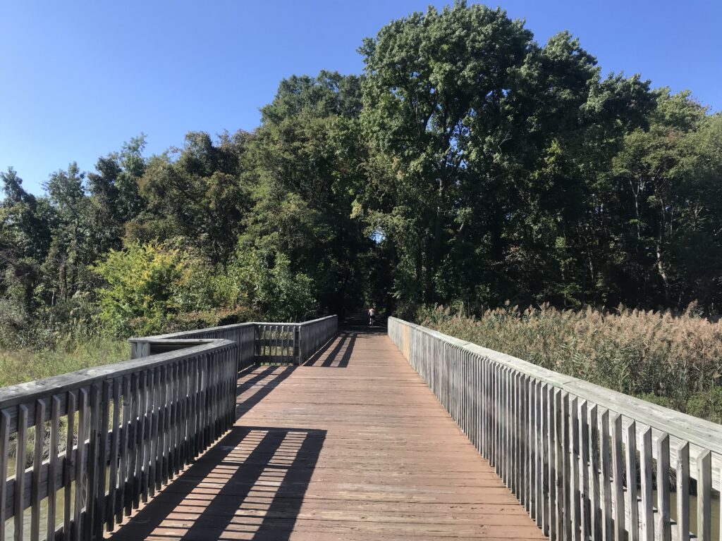
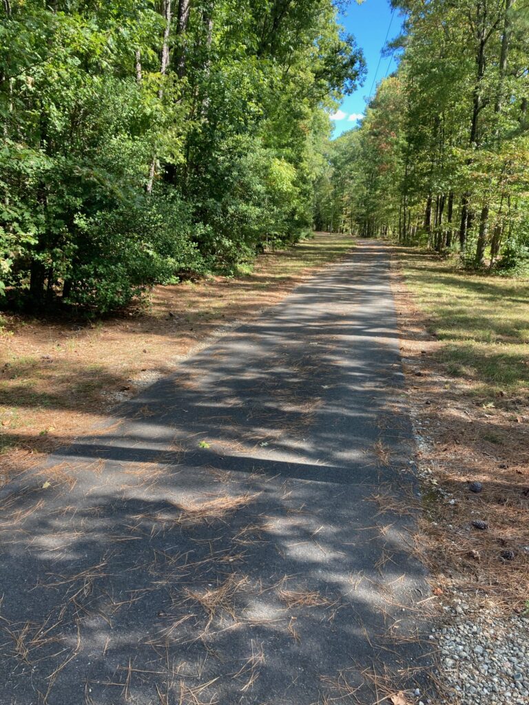
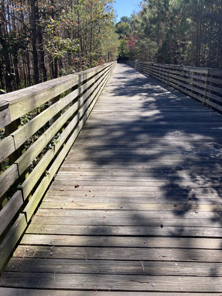
NEW AND DIFFERENT TRAILS
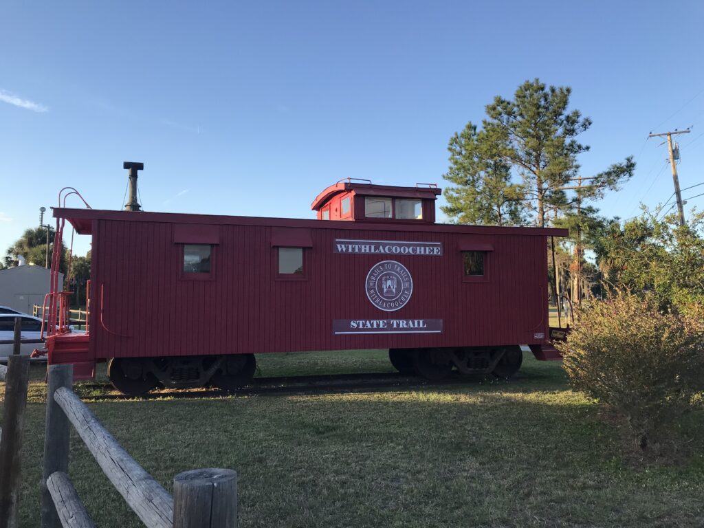
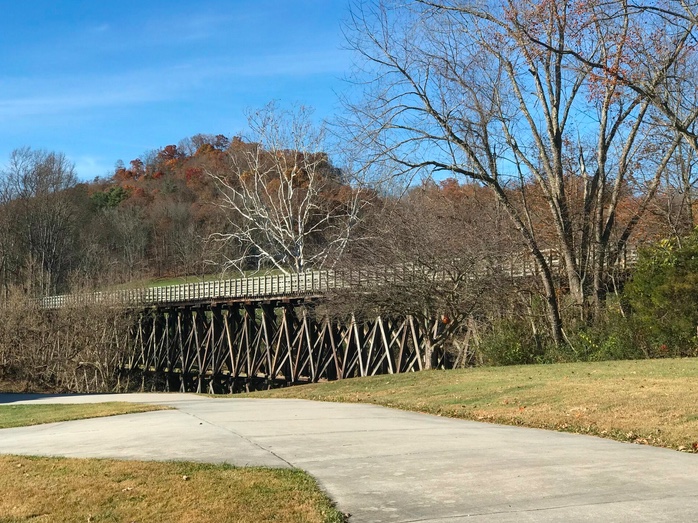
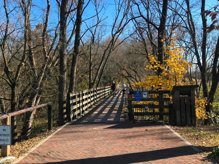
I rode the Mahoning Shadow Trail in Punxsutawney, Pa., the Creeper Trail in southwest Virginia (partial), and the Withlacoochee State Trail in Florida (partial).
NEW FRIENDS
Nah. Didn’t make any.
OLD FRIENDS
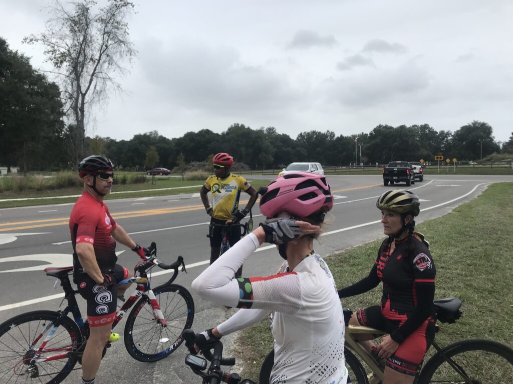
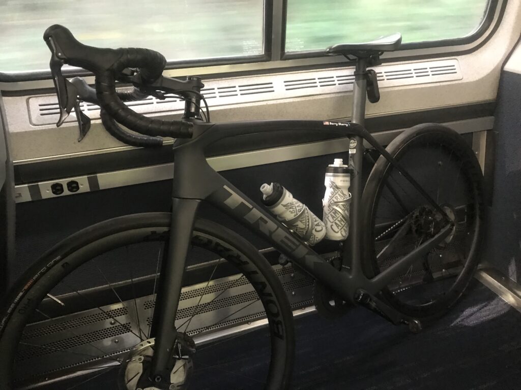
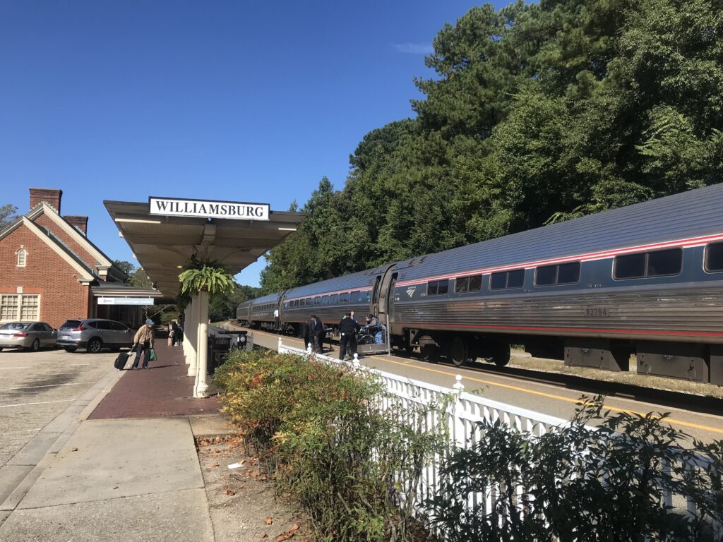
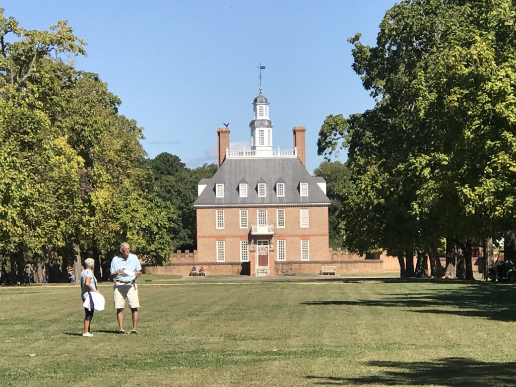
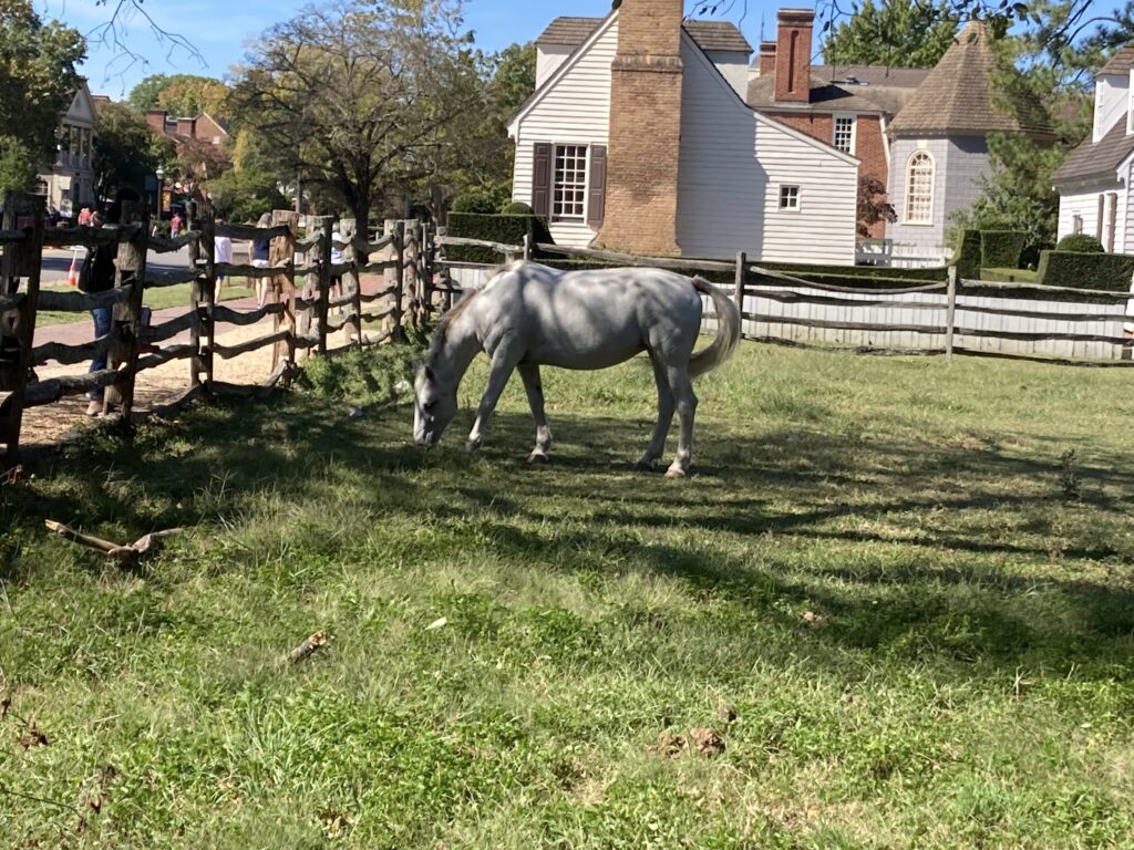
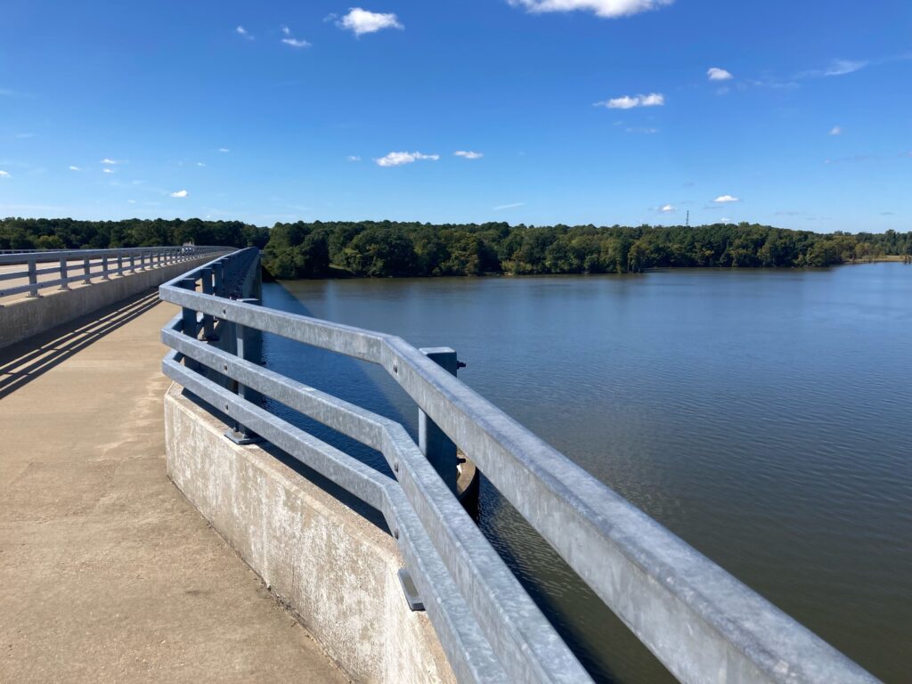
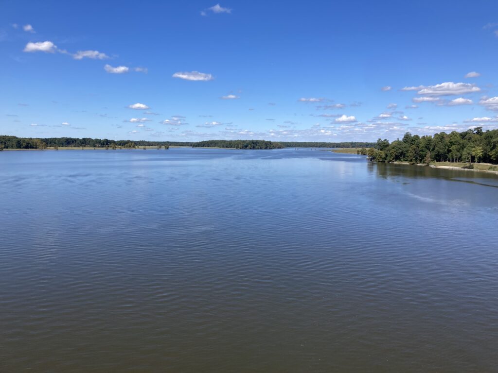
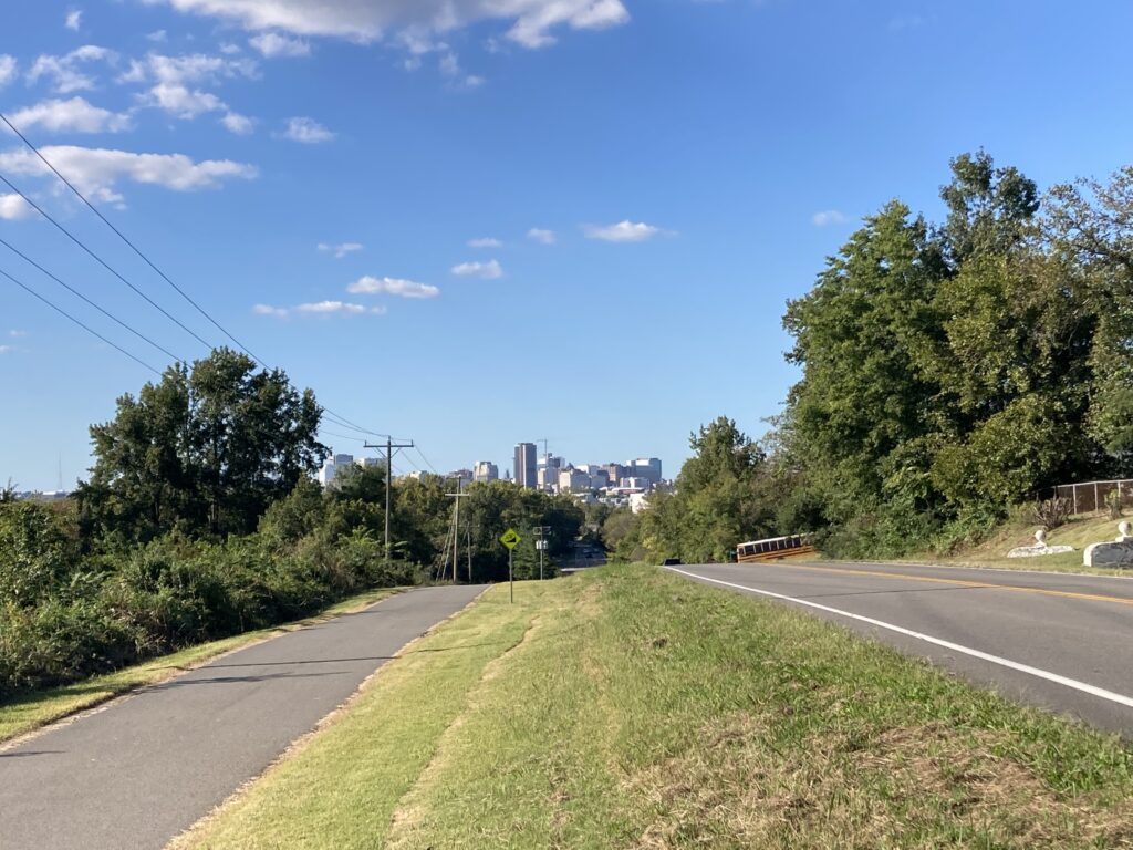
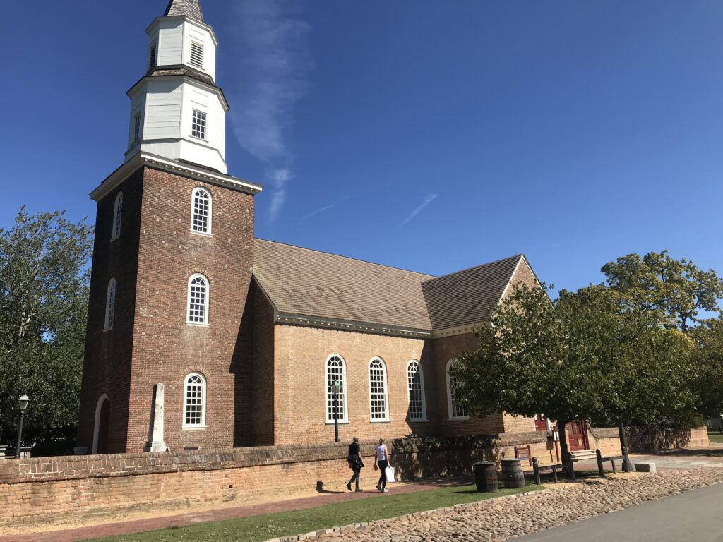
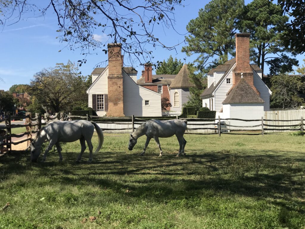
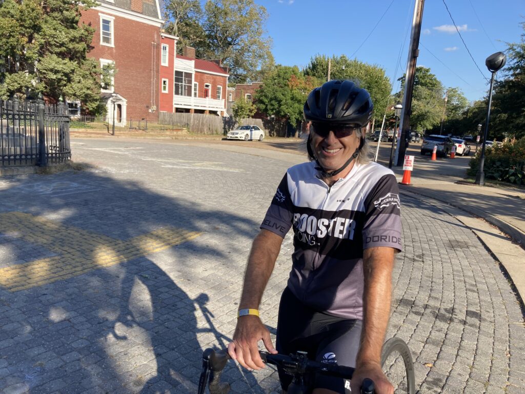
I rode with Tim more than anyone, although most of my miles are solo. But Tim and I enjoyed the roads in Fauquier County and did a couple of longer day trips. We rode the Abandoned Turnpike in Pa. and from Williamsburg to Richmond.
OLD FRIENDS TOO
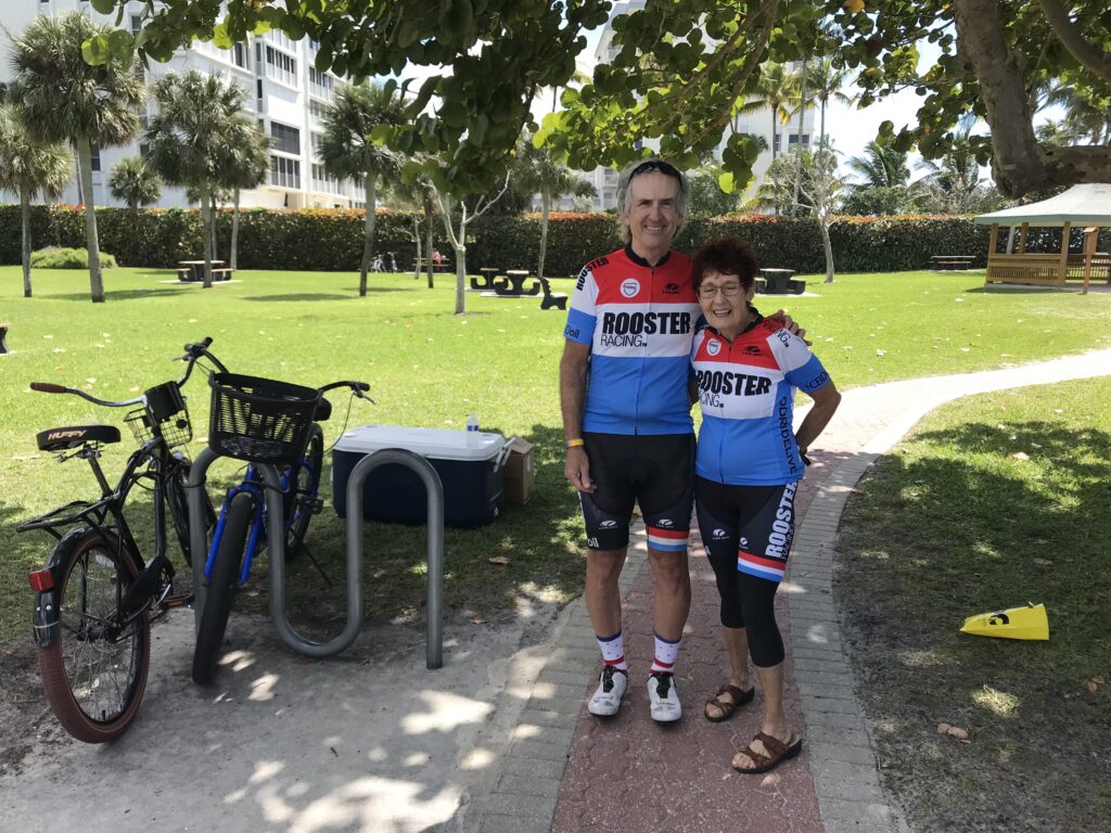
I did squeeze in a day in Naples, Fla. and see Joe B. (USPS colleague) and Margaret (Roosters). And rode in Culpeper Co. with Margaret in June.
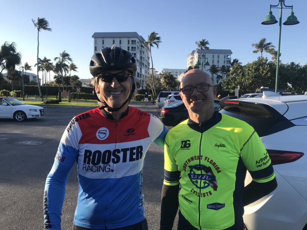
And rode with John (USPS colleague) at the Horrible Hundred in Clermont, Fla. I did see my friend, Erin, in Ohio (no photo).
ALL-WEATHER
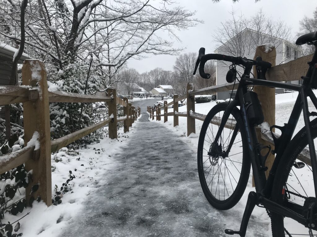
There were crap days and I tried to choose my routes carefully. This one in Montclair I messed up. But with no significant snowstorms, I was able to ride every day in 2021.
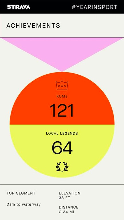
THE NUMBERS
KOM or King of the Mountains. Two years ago I was very happy when I grabbed four of those. But this year – 121!!!! To be fair, many are “trash” – small segments with 10 or fewer participants. But there were a couple where I was best out of 1,000. However, when I ride on the W&OD and there are 30,000 riders competing for a segment, I typically don’t crack the Top 100 although I always strive for #1 in my age group.
THE TOTALS
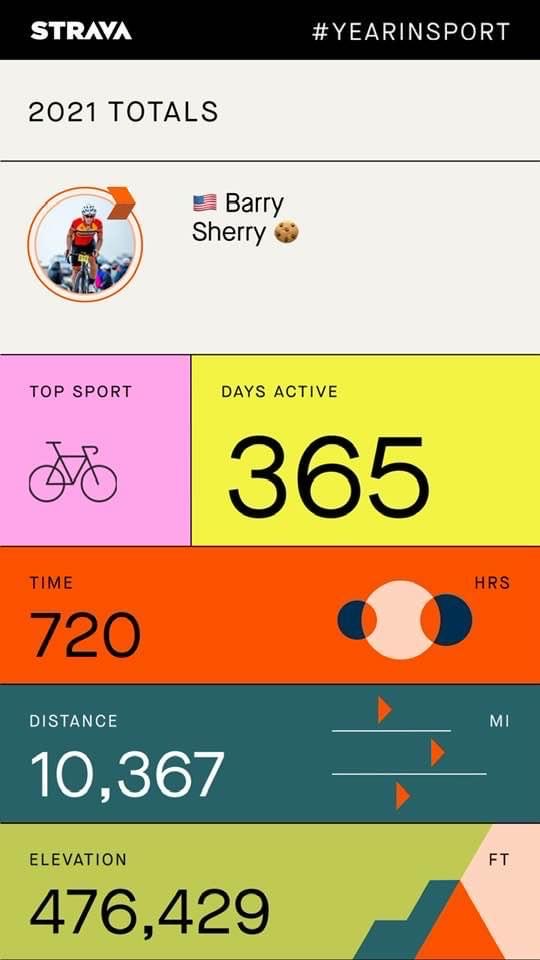
DISTANCE – 10,367 miles (16.684 km). This was my second-highest annual total, second only to 2020 (10,500).
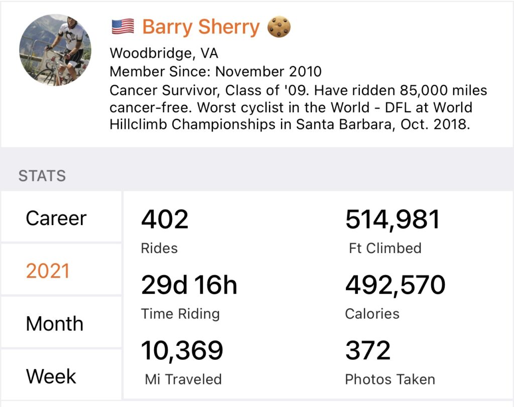
There is a slight difference between the two tracking programs. (10,367 vs 10,369).
DAYS RIDDEN: 365 (1,096 consecutive days since Jan. 1, 2019)
WEIGHT: 172 (just a little bit up from end of last year)
OUTLOOK FOR 2022
I have no goals. The consecutive days ridden streak was specific to 2019 for my cancerversary which kept going to September 26 when I reached 1,000 straight days. It could have ended there but the weather wasn’t awful enough to stop. But it won’t continue in 2022.
The Cookie Gran Fondo in Malibu by Phil Gaimon has been postponed for two years now and I still have my registration fee paid for 2020. Hopefully, that will work out for October. Likewise, the Livestrong Challenge in Austin has also been postponed for two years. And it would be nice to return to Austin.
With the uncertainty of how COVID will be handled by foreign countries, this doesn’t look like a year to travel to Europe. And my biological clock is ticking.
Above all, I hope for a safe year. Some adventures. But above all, safe riding.