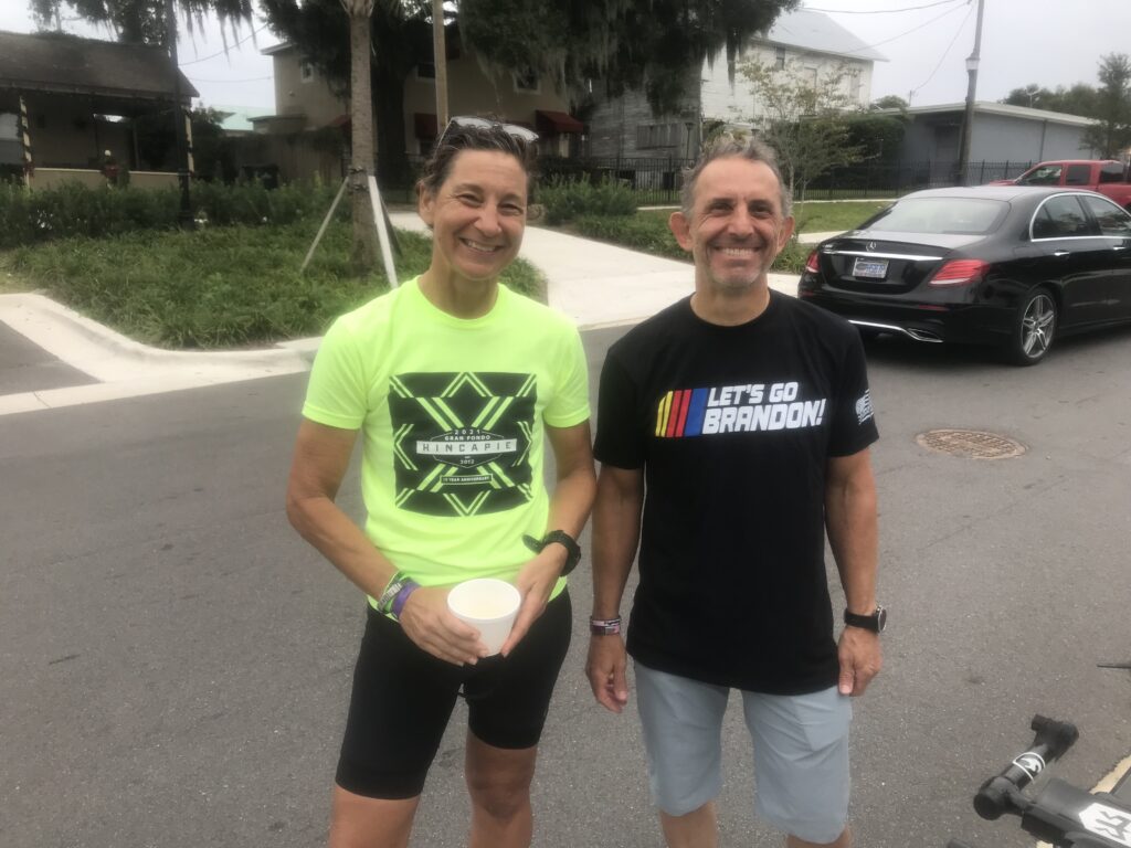
Clingmans’ Dome

GATLINGBURG, TENNESSEE

It wasn’t a bucket list climb but was certainly one that I wanted to do. I was traveling with my mother, age 90, and we diverted slightly, on our way to Florida. By slightly, I mean 115 miles. Or I guess 129 to include the seven-mile access road to Clingman’s Dome.

Sugarlands Visitor Center

Bad weather would have scrubbed my plans but the weather forecast looked good for Gatlinburg with a high temperature of 70 forecast – for Gatlinburg, but not for Clingman’s Dome. It was in the low 50s when I decided to push off from the Sugarlands Visitor Center.

U.S. Rte. 441

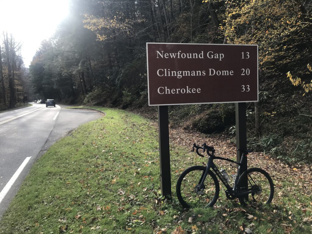
The instructions to my mother were simple. Follow the highway (U.S. 441) 13 miles to the top of the mountain then turn right to Clingman’s Dome. If she started to go down the mountain she went too far. I realized as I was riding that I should have had her leapfrog from pull-off to pull off and she would be more comfortable knowing where I was.

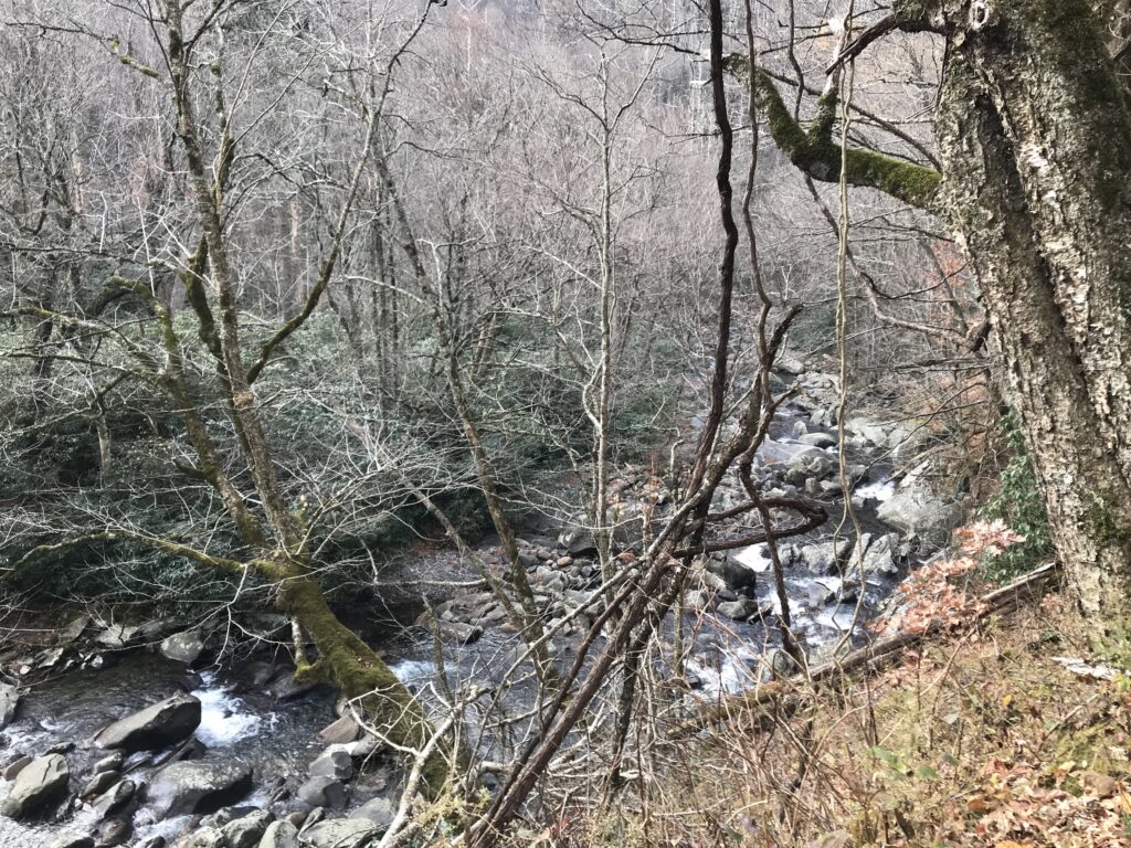
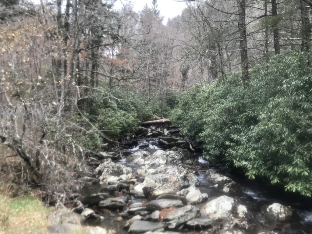
West Prong Little Pigeon River

I wore a long-sleeve Under Armour underneath my Schleck jersey along with a light vest. Gloves and a thermal cap complemented my kit.

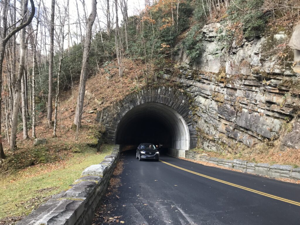
First tunnel

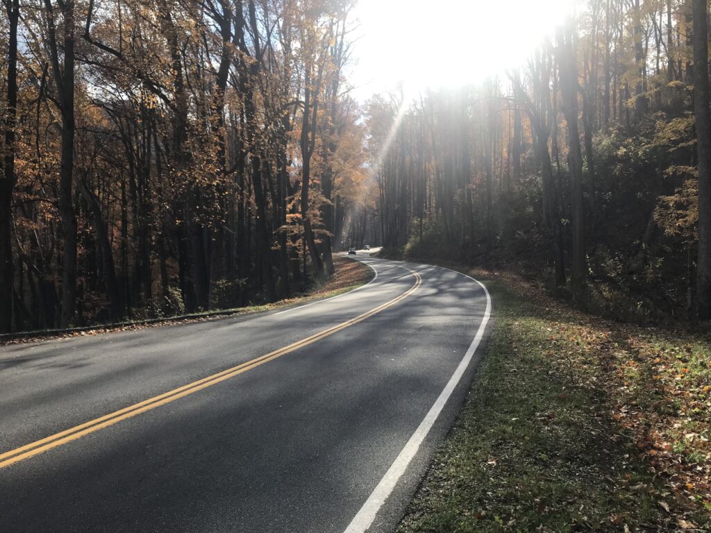
Newfound Gap Road (U.S. Rte 441) from Gatlinburg to Cherokee, North Carolina is a 36-mile road. At Newfound Gap, which is the border of Tennesse and North Carolina, there is a seven-mile access road to Clingman’s Gap. It is a two-lane road with no shoulders but plenty of pull-offs. The speed limit is generally 45 mph and I reasoned, maybe incorrectly, that the majority of traffic would be park goers in no hurry. But this is also U.S. Rte 441 and the only way over the mountain. Surely there were some drivers trying to get over the mountain as quickly as possible.
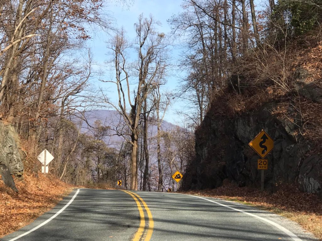
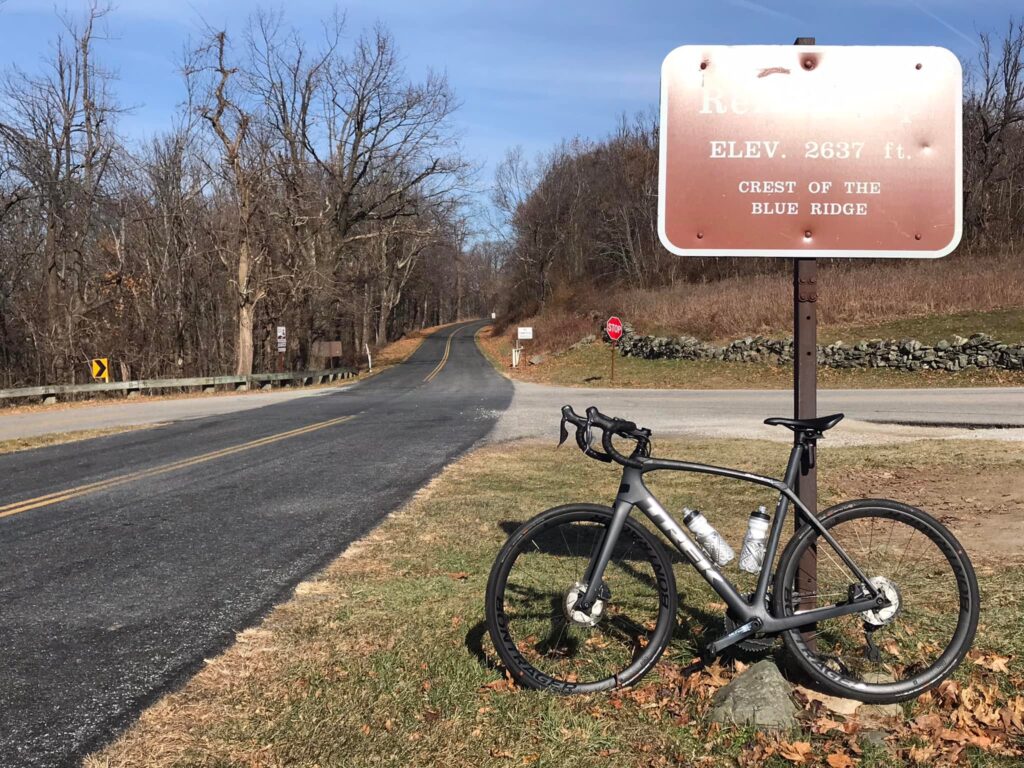
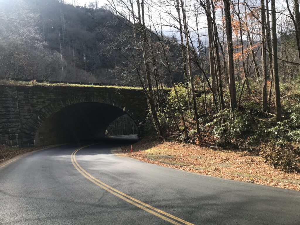
The Loop – The road goes under, or over, itself

As I started climbing I also got passed by a few cars. I would play a game and simply count the number of cars that passed me on this ride. And I would tweet out how courteous the drivers were. This lasted 91 cars, The 92nd came by me and almost hit me. I reacted badly. I screamed out.

Walker Gap Prong

I don’t ride on the white line. I’m not coordinated enough to do that as surely I would go off the road. But I ride constantly about 1-2′ to the left of the white line. And this driver seemed determined that he would drive right in the middle of the lane whether I was there or not.

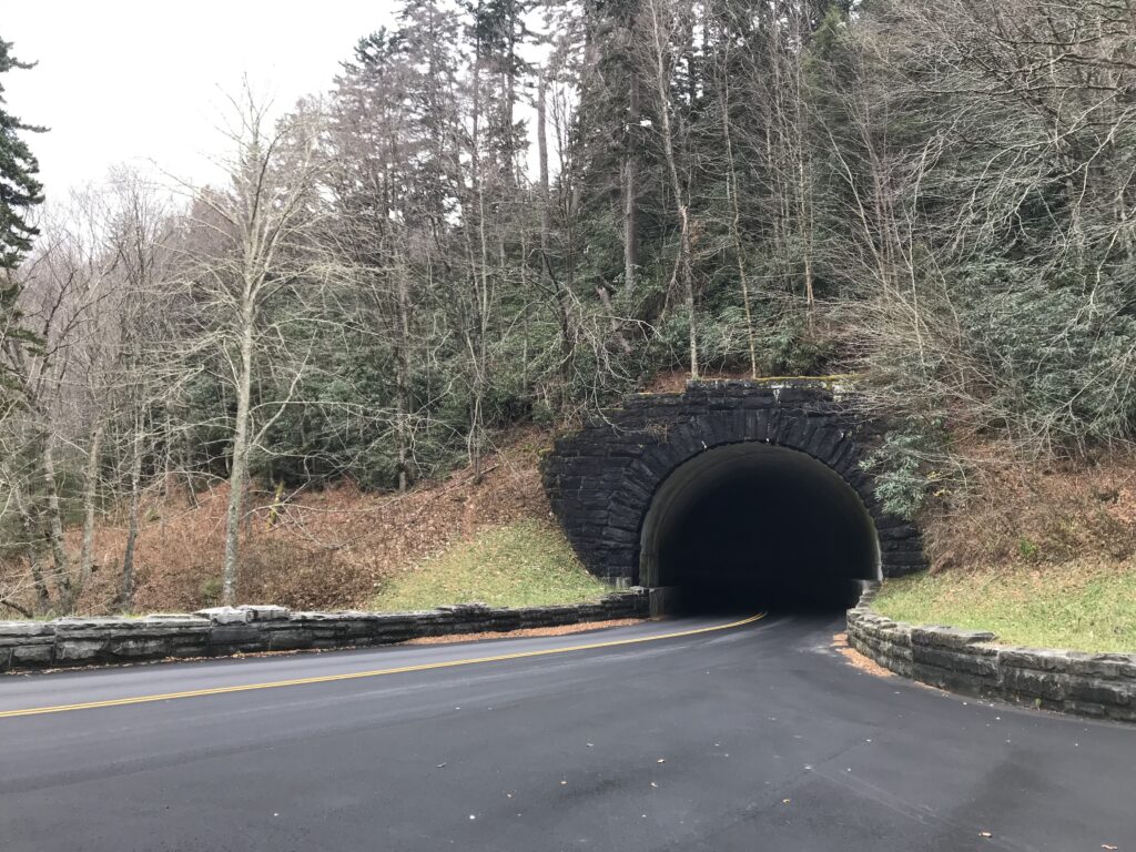
Morton Mountain Tunnel

We used to always think these were aggressive drivers meaning to punish cyclists. But some are surely distracted drivers who come upon cyclists quickly. And if you were driving 45 mph, you come upon a cyclist traveling 8-10 mph pretty quickly. Assuming there was no cell service to be messing with a phone (maybe there was?), I believe the driver was aggressive and not distracted. But it sure scared me.

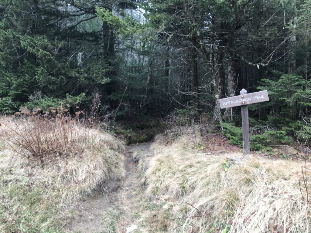
Appalachian Trail crosses on the Clingman’s Dome Road
(And also in the parking lot at Newfound Gap)

I would start my count over. I got to 31 before a second car passed me very closely. Then I got to 161 before a pickup truck driver tried to put its hood underneath my left elbow. Literally. I looked at the driver. I yelled. Then I moved to the center so he knew he didn’t have room to pass in the lane. It was quite harrowing.

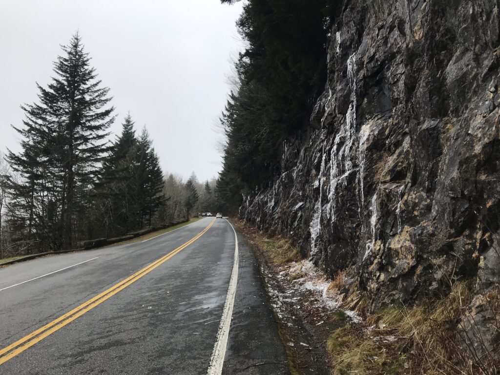
Ice on the road to Clingman’s Dome

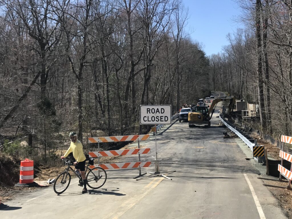
Part-way up the mountain was a construction zone. Traffic was being held for one-lane travel so at times I basically had the road to myself. But when the traffic was released by the construction flagger, I pulled off the road and let the entire group pass. There may have been 50-60 cars at a time that I would let pass while I stood safely off the road. And I did not include them in my totals of the number of cars that passed me. I was glad to pull over and let them by while waiting for that empty gap to resume riding.

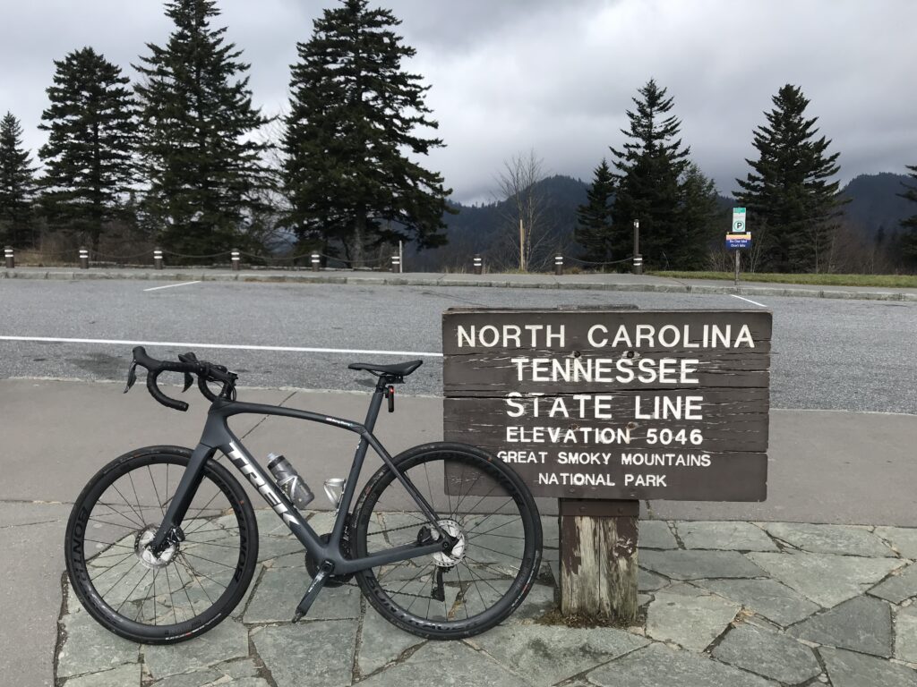
Newfound Gap – Tennessee-North Carolina State Line

About three miles into the ride I pulled over to unzip the vest, removed the gloves, and my headcover. I was sweating pretty nicely on this November day. Near the top of the Newfound Gap climb, I pulled over to zip up the jacket and put my gloves back on. It was getting cold.
Newfound Gap

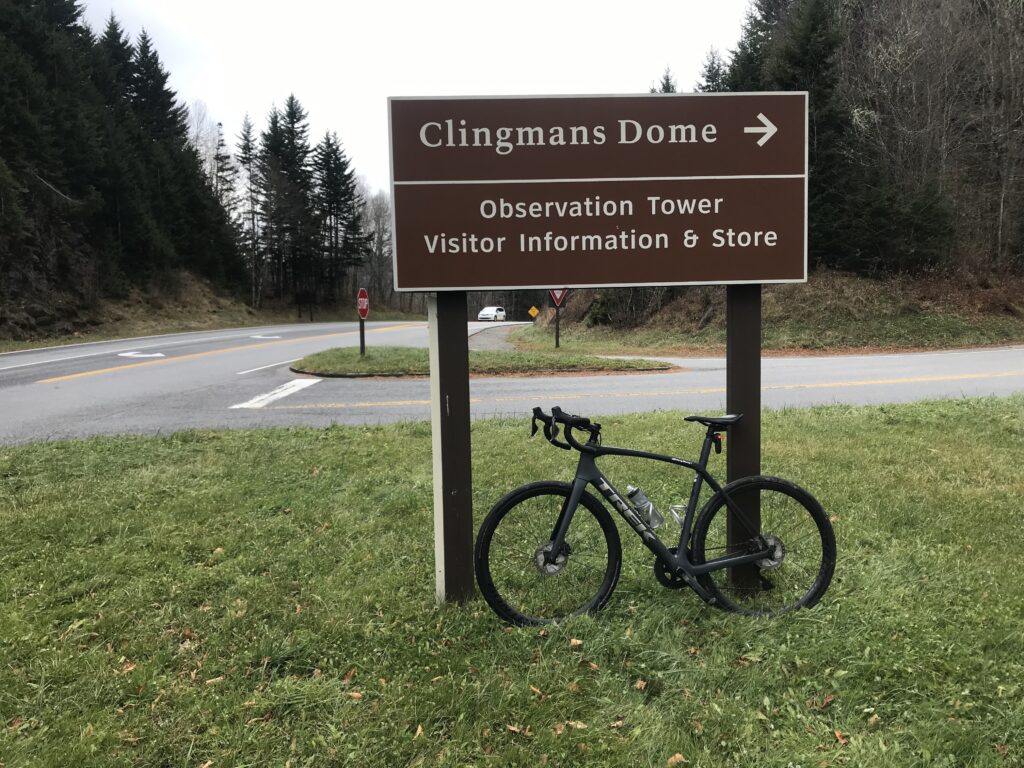
I was glad at the gap to turn onto Clingman’s Gap access road. I was surprised to see that it was closed from December 1 – March 31. I hadn’t even thought of that. But I beat it by 15 days. I hoped there wasn’t a lot more climbing, picturing the road traveling alongside the mountain top. Of course, I knew it still climbed. It was a slog. The entire ride wasn’t overly difficult but it sure was a constant slog.

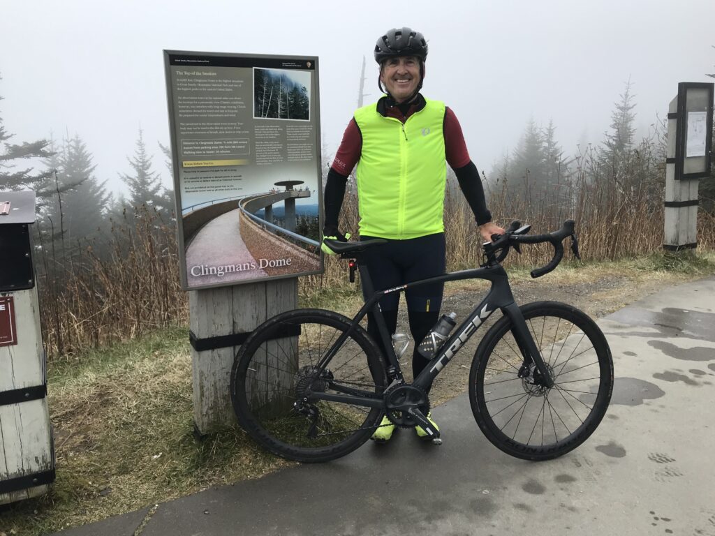
You can see what the observation tower looks like on a clear day on the sign

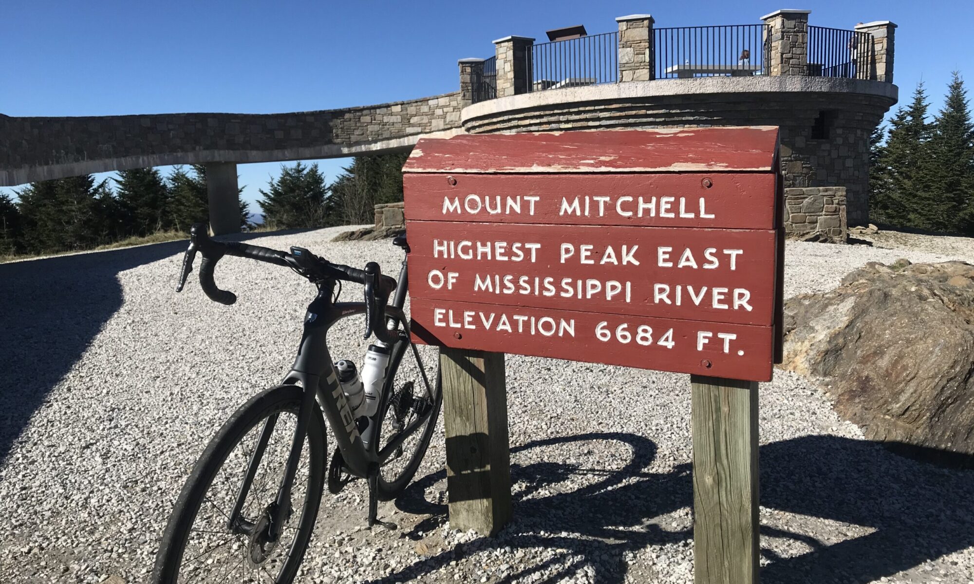
As I climbed to the top visibility dropped to about 100′. I saw my car but my mother wasn’t in it. I went a bit farther and saw she was at a restroom. I went to the base of the observation tower and found some willing person to take my photo.

I really wanted to keep riding to Cherokee. It was all downhill and who wouldn’t love a 20-mile downhill. But it would also mean trusting my mother to drive down the mountain and I wasn’t going to ask her to do that.

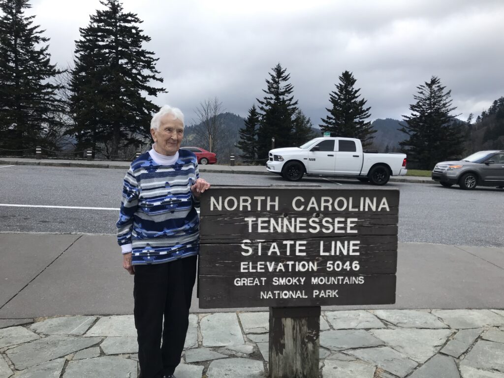
My mother at the TN-NC State Line

I sincerely doubt I will get the chance to ride down either side – back to Gatlinburg or ahead to Cherokee. I have no desire to ever ride this one again. I do not recommend this climb. The road surface is great. The scenery is wonderful. But the traffic is crap. Cyclists have the right to be on the road. But I don’t want to be dead right.


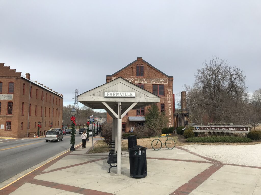
Creeper Trail

ABINGTON, VIRGINIA

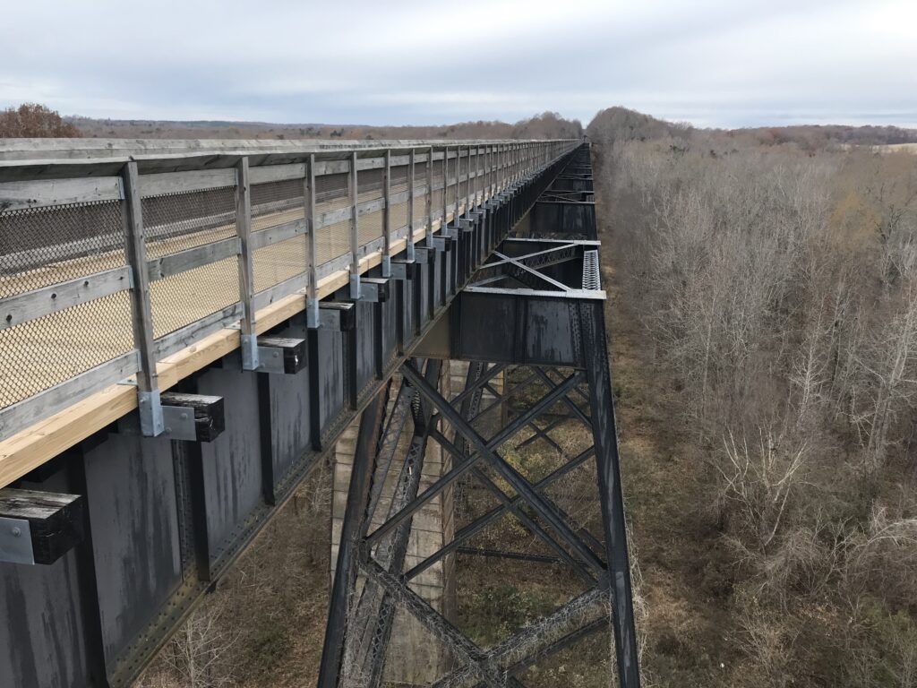
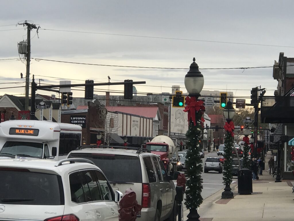
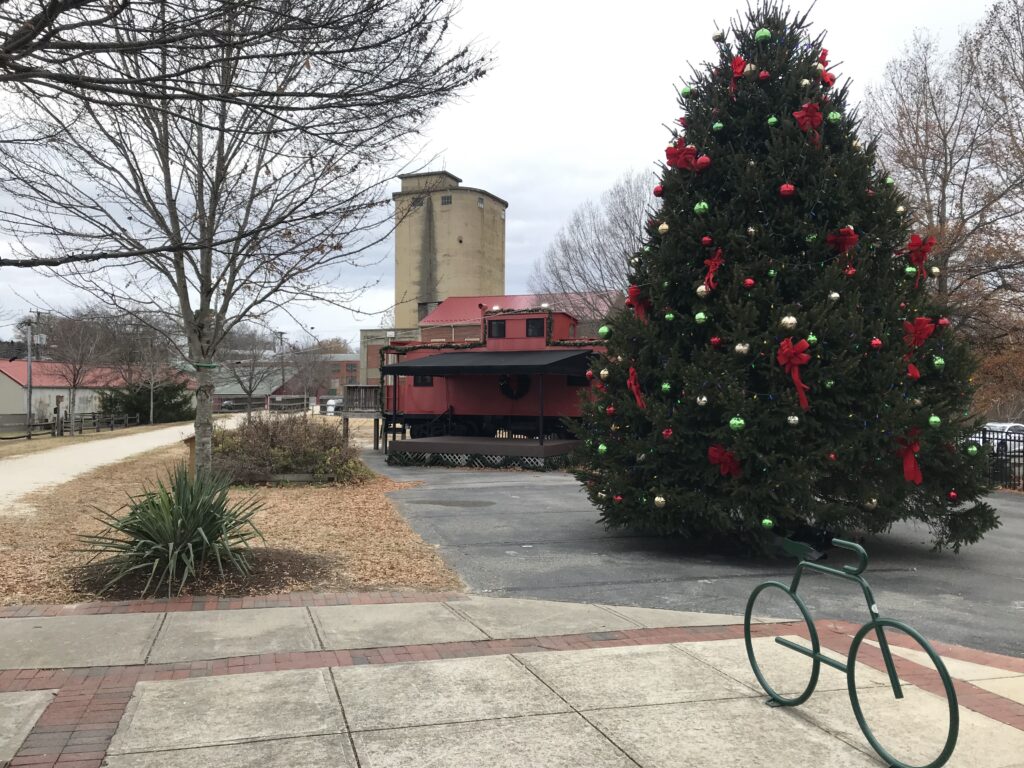
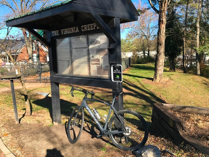
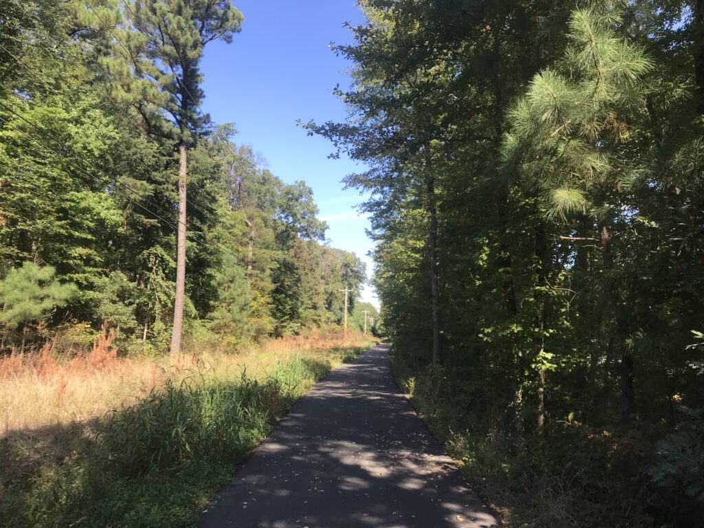
The Virginia Creeper Trail had intrigued me for a while. I did not plan to ride it, especially this time of year. But a trip to Florida and I decided to get a taste of it. The experience on the trail would determine whether I want to make this a destination trip at some point.

Creeper Trail – Abington, Va.

I was traveling from Pennsylvania to Florida and had my mother with me. We left Somerset and there were three to four inches of snow on the ground and on the road. My consecutive days ridden streak was now at 1,049 straight days and I hoped to be able to finish a third consecutive year of a ride every single day. I would need a ride today.

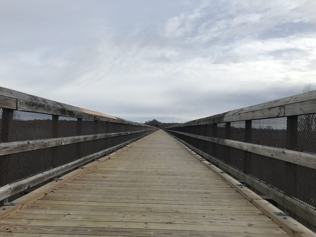
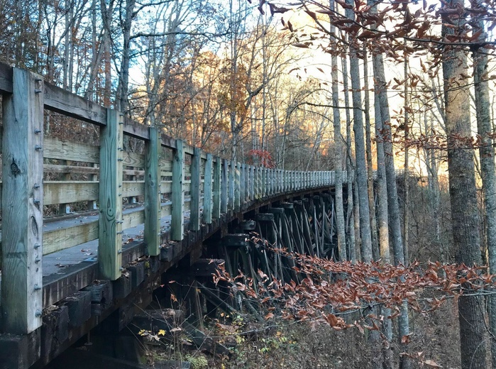
Bridge 1

It would be a long day in the car and I tried to stop with my mother at least once every two hours. I saw we would pass through Abington, Virginia. I knew the Creeper Trail went through or to Abington but I didn’t know much more. But I would figure it out.

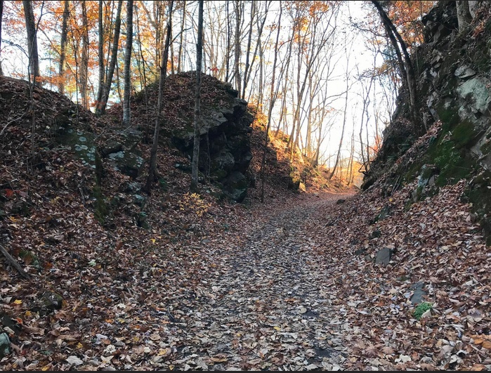
Creeper Trail covered in leaves

It never warmed up but the 44 degrees were much warmer than we left behind in Somerset. I told my mother I would need about 45 minutes and we took a break from our trip from Somerset, Pa. to Gatlinburg, Tenn.

We parked at a trailhead and thought I might have an option of going north or south (or east or west). But Abington is the terminus so there was one way to go.

And the direction was down. The trail goes 34 miles to Whitetop Station in the Mount Rogers National Recreation Area, at the Virginia-North Carolina border.

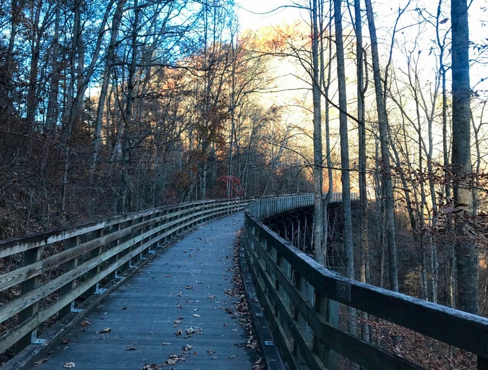
Bridge 3

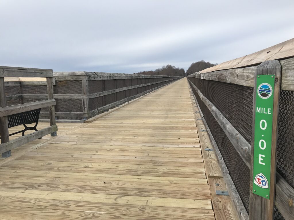
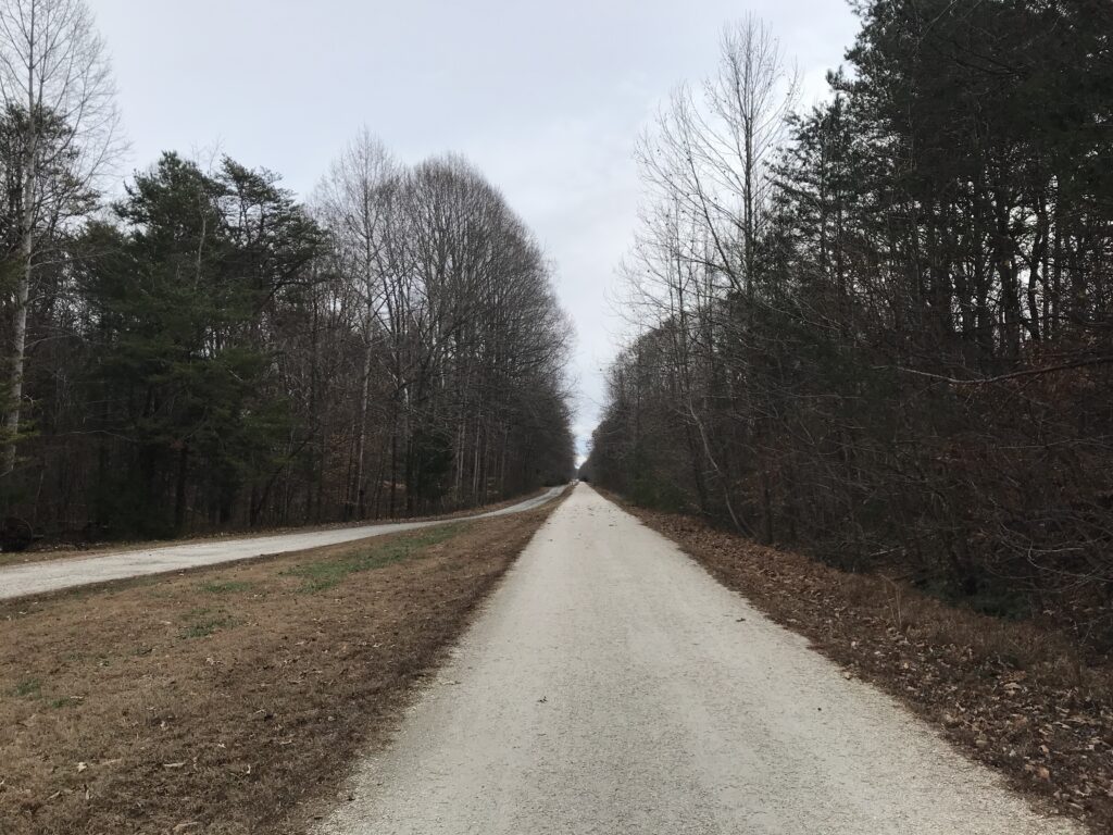
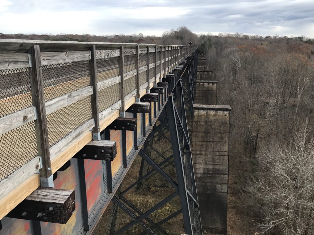
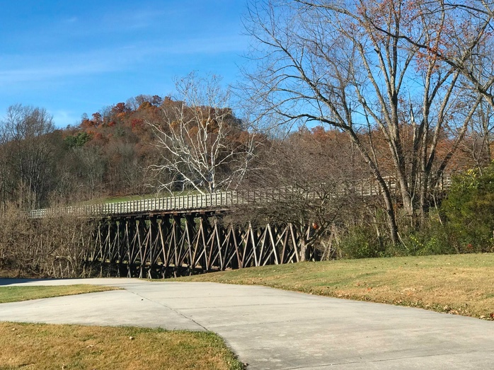
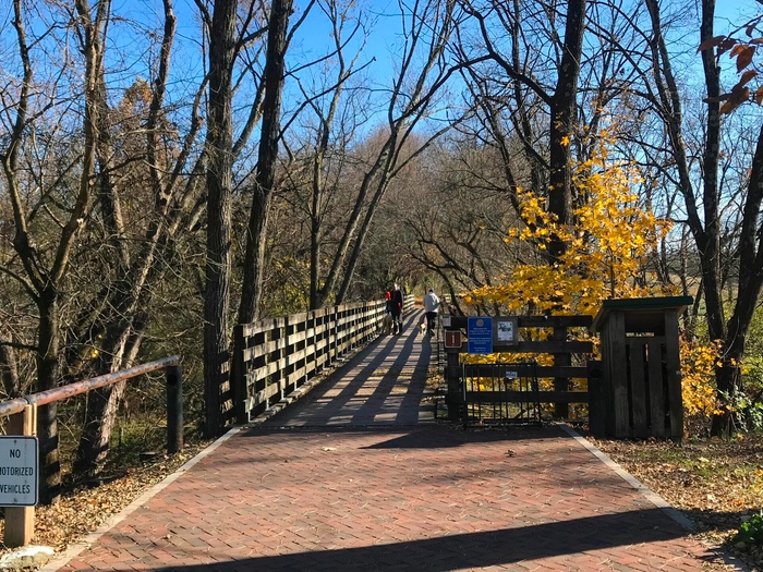
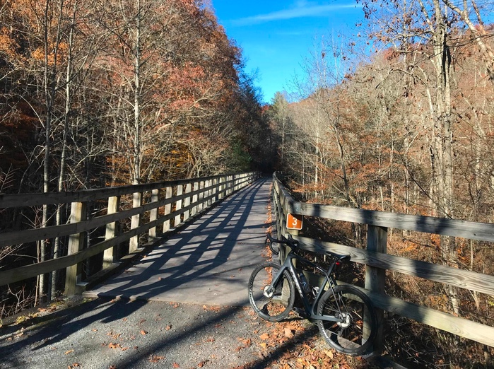
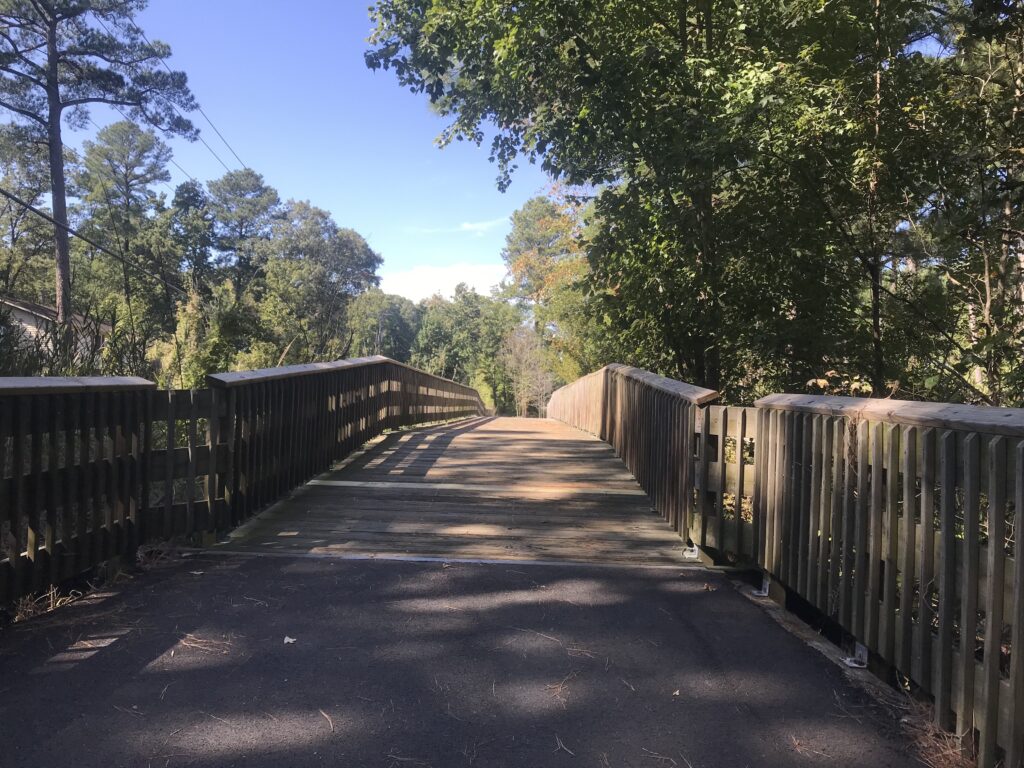
The trail is a crushed limestone trail. In November the gravel is mostly covered by leaves. I was on my Trek Domane road bike and had no problems on the trail. I saw some neat fixtures (trestles).

Abington, Va.

We had parked in a lot and my mother took the opportunity to walk out on the first trestle. I was gone for 55 minutes as I was not making good time on the leaves. It was a very nice diversion and I certainly would ride it again if I’m in the area. Given my distance (178 miles) from the trail, I don’t know that I would return just to ride this trail. But if I was in the area I certainly would.

A View from the Creeper

There is a shuttle in the area that one can use to go to one end and ride back to the car. I thought the grades on this trail were a little steeper than some of the trails I have been on and that would be a fun option to explore. But this was a nice ride on a chilly Fall day. My 1,049th consecutive ride.


Sea Gull Century

SALISBURY, MARYLAND

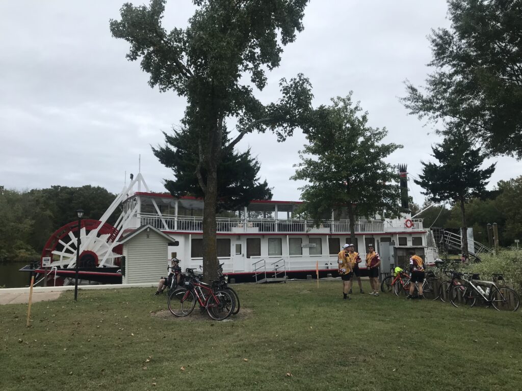
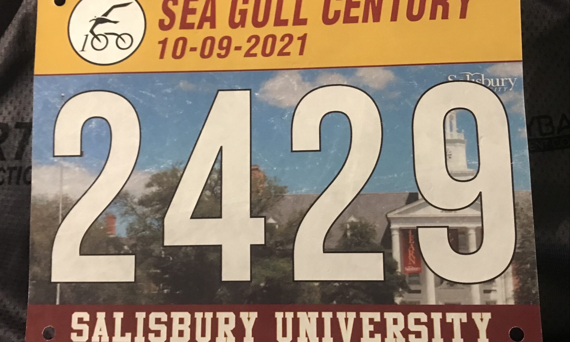
Officially this was my seventh Sea Gull Century. Officially because last year it was canceled but I rode it anyway.

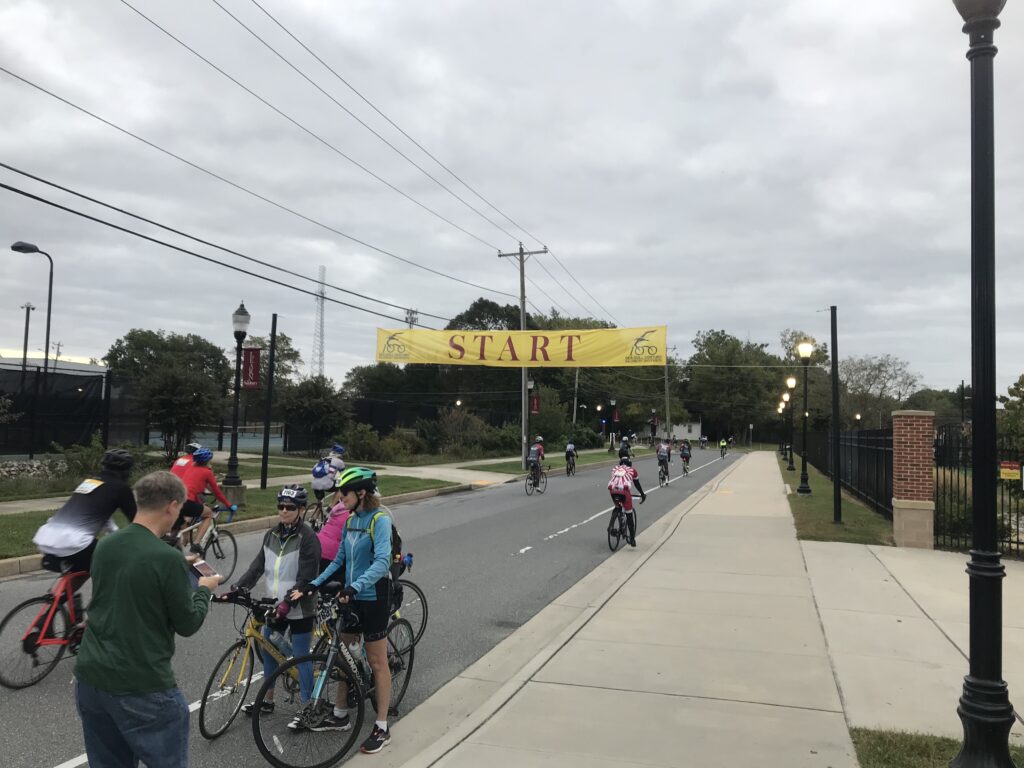
Start line in Salisbury

Each Sea Gull brings new experiences and memories. In 2016 I met and rode with some members of the Blair Cycling Club. In 2017 I just rode solo. In 2018 I basically towed Sandra for 60 miles and she never thanked me or said goodbye. In 2019 I met Andrew and Stacey which was refreshing. Last year was unofficial and backward.

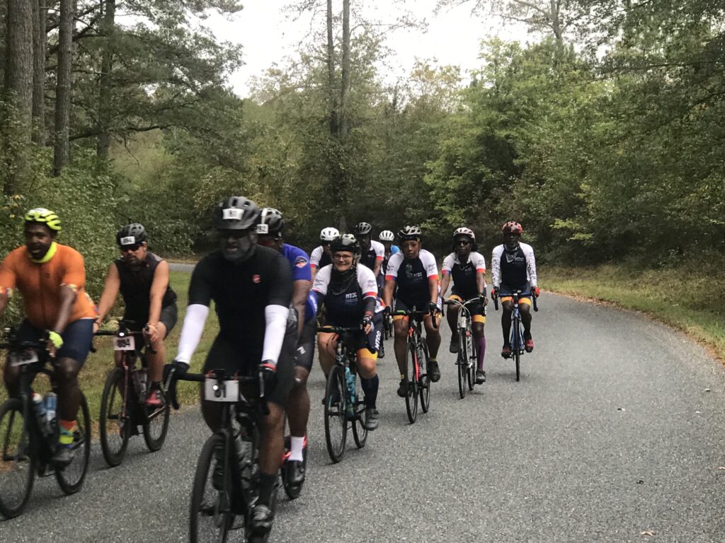
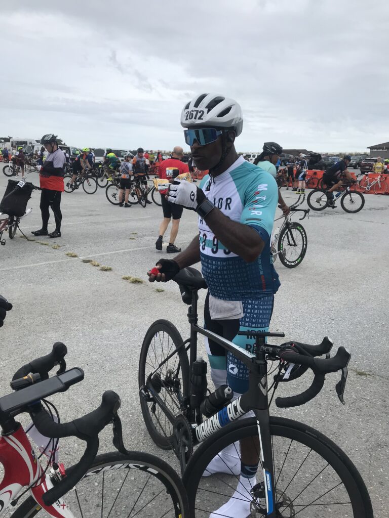
Major Taylor Cycling Club, Columbus

I didn’t know what 2021 would hold. Let’s start with breakfast. I stayed at Tru by Hilton in Georgetown, Delaware. Although the breakfast area was fully lit, they would not turn on the juice machine or pancake maker until 7:00 a.m. I left at 6:10 a.m.

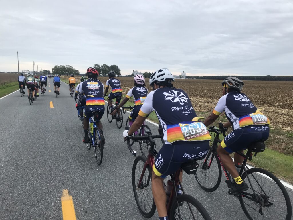
Major Taylor Cycling Club, Columbus

I went through the drive-thru at McDonalds and went with the standby of hotcakes (no sausage). Actually, I was quite happy with the breakfast.

Snow Hill, Md.

In Salisbury, I parked on the street next to the stadium. I liked this spot. Much better than a big lot or a field. It was gray and 62ยบ. I wore arm warmers and took a rain jacket which I would not need. I was wheels-down at 7:40 a.m.

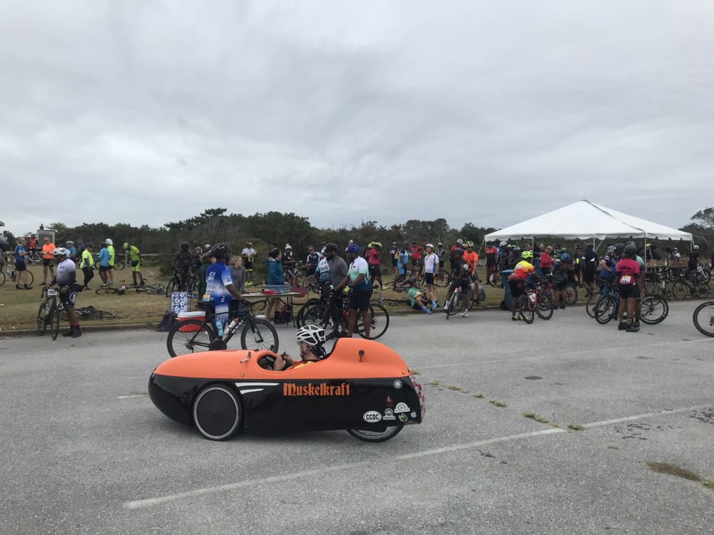
Rest Stop, Assateague State Park

Today I wanted to be real conscious at doling at my effort. Easy in the first third is the adage. And in the first hour, my perceived effort was a two (out of 10). My heart rate seemed to never go above 115. I was riding easy.

Snow Hill, Md.

I looked for a place for a natural break and found it behind a truck parked in the woods. When I rolled out I jumped in with a Major Taylor Cycling Club group from Columbus. These people were truly delightful. I enjoyed riding and conversing with each rider.

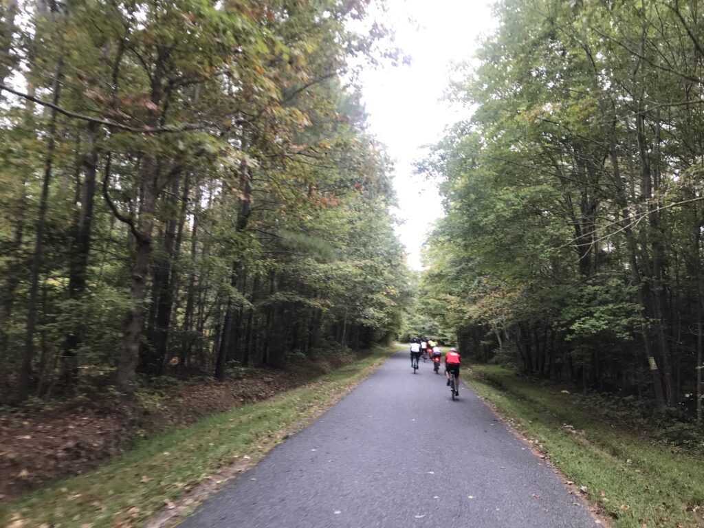
Country Riding

This ride attracts a number of Major Taylor Cycling Clubs from all over the east coast. Most (all?) are people of color and today I found my niche riding all day with Major Taylor riders.

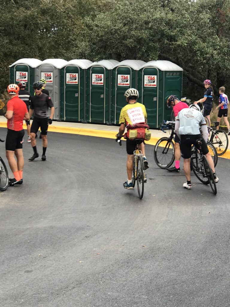
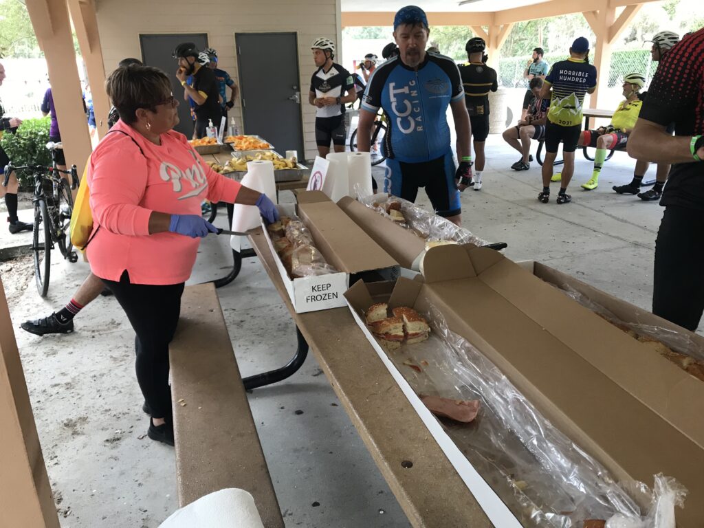
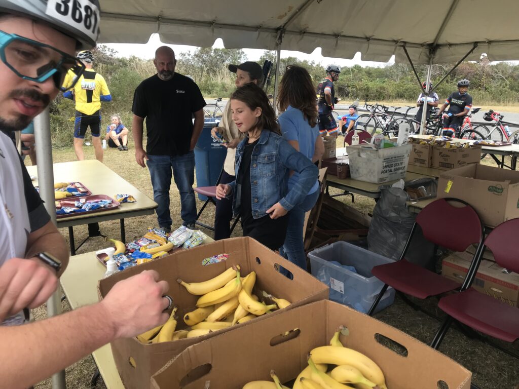
The first rest top was in Snow Hill, Maryland. The police had a separate route for cyclists to the rest stop and it reminded me of RAGBRAI. It was so crowded you (almost) needed to dismount and walk your bike.

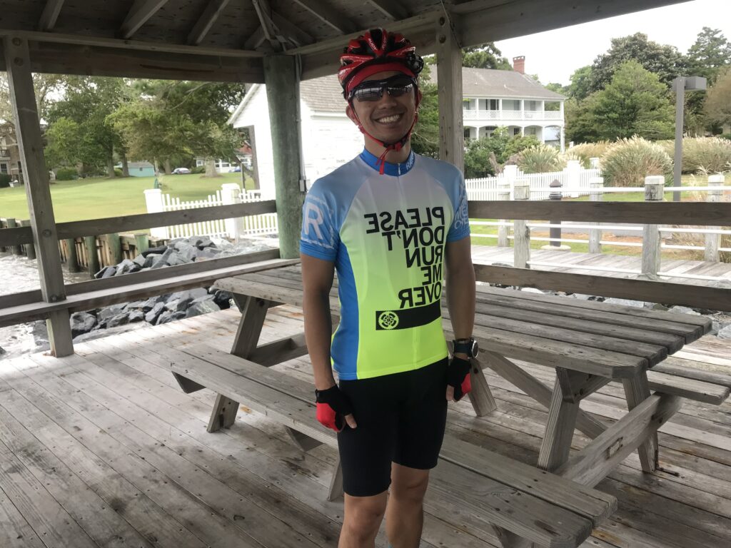
Please Don’t Run me Over

I had integrated with a group before the second rest stop. While almost everyone went to the rest stop I continued straight. I caught onto a new group. This one was a little awkward. I was looking a Strava Live Segments and knew I could set a PR on a two-mile segment if I could pass this large group. It was a large group and since we were on a country road with good visibility of oncoming, the group was spread across the entire road.

Assateague State Park

I had to fight my way through the group to the front. I heard someone say “he is really moving.” I take that as a compliment. I was also going into a brutal headwind. I got the PR, went about one mile further then pulled over and removed my arm warmers. This was strategically done simply to allow them to catch me without admitting they were catching me. Then once they went past I went and caught up to them.

Mile 80 Rest Stop

We hung together until about 10 miles before Assateague Island. I went off the front and didn’t see them again. When I arrived at the rest stop I met a rider from MTCC-New York. “Webb” was cramping and I pulled out one of my Hot Shot drinks to eliminate cramps. He was surprised I gave it to him and asked what he owed. I told him if he liked it he could buy some and the next time he sees a cyclist with cramps he could pay it back. He drank. His cramps went away.

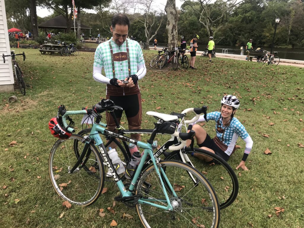
Yodeling and Cycling
Any thoughts of buying this kit ended today when I saw it

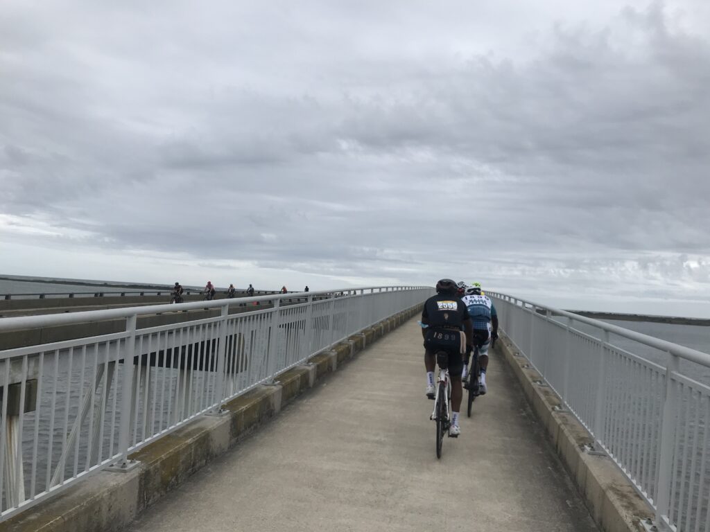
I left the rest stop solo. Again. Once over the bridge, I joined four riders from MTCC-Philly. The five of us, four men and one woman, were taking equal pulls. I thought we might have 20 miles of this.

Webb drinking Hot Shot

After 2-3 miles a larger group passed us and soon we were part of a much larger group. For the first time today, we had a tailwind. We only averaged 21 mph on this segment but that includes creeping through Berlin. It took me 60 miles but I finally found the group I wanted to ride with. But it would not last.

Verranzano Bridge

We stopped at Mile 80 at the rest stop. As usual, I wasn’t staying long. I waited a little bit to see if a group would form. None did so I headed off willing to slow pedal and be caught. After 10 miles on this 18-mile segment, I shifted from wanting to be caught to not wanting to be caught. I wasn’t.

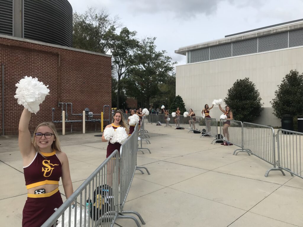
Salisbury University Cheerleaders at the Finish

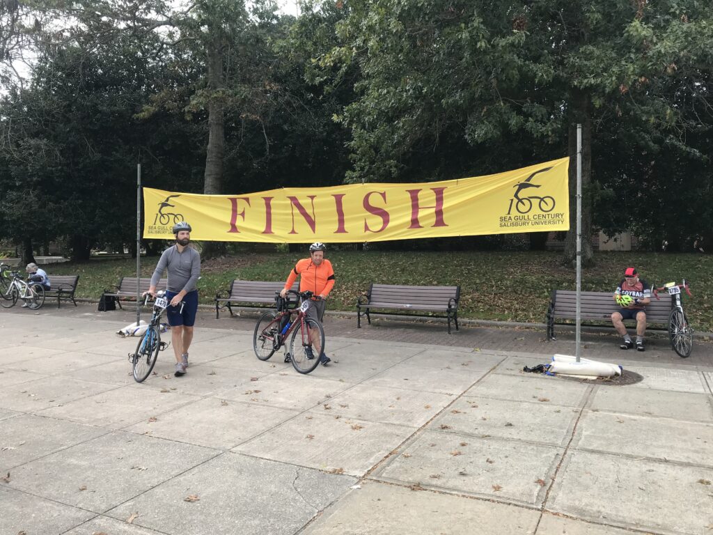
I went through the tunnel at the college, stopped long enough to take a photo of the Salisbury University cheerleaders, grabbed some ice cream then slowly rode back to my car. It was a really good day and I loved all the MTCC riders I met. One of my favorite Sea Gulls yet.


DISTANCE: 102.5 miles
SPEED: 17.7 mph
WEIGHT: 171 pounds

I actually rode 0.2 faster last year solo but today included the last mile of getting back to the car. It’s not all about speed and I purposely rode slow today. But if it was, I am still very happy with this ride.

Kent Island

KENT ISLAND, MARYLAND

I have traveled across this island two to three dozen times. Always it was just a place to bridge the gap between the Chesapeake Bay Bridge and Maryland’s eastern shore.

Traffic can be heavy especially on summer weekends. Usually, it’s get on, get moving, and get off the island. Unless, of course, one wants to stop at the Chick-fil-A.

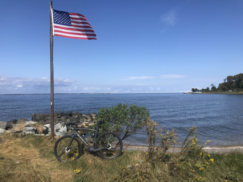
Chesapeake Bay Bridge in distance

I’ve spotted some bike baths alongside U.S. Rte 50 and decided I would explore the island. I don’t know if I would make this a destination trip but since I was headed to the Sea Gull Century it was a great place to stop and explore.

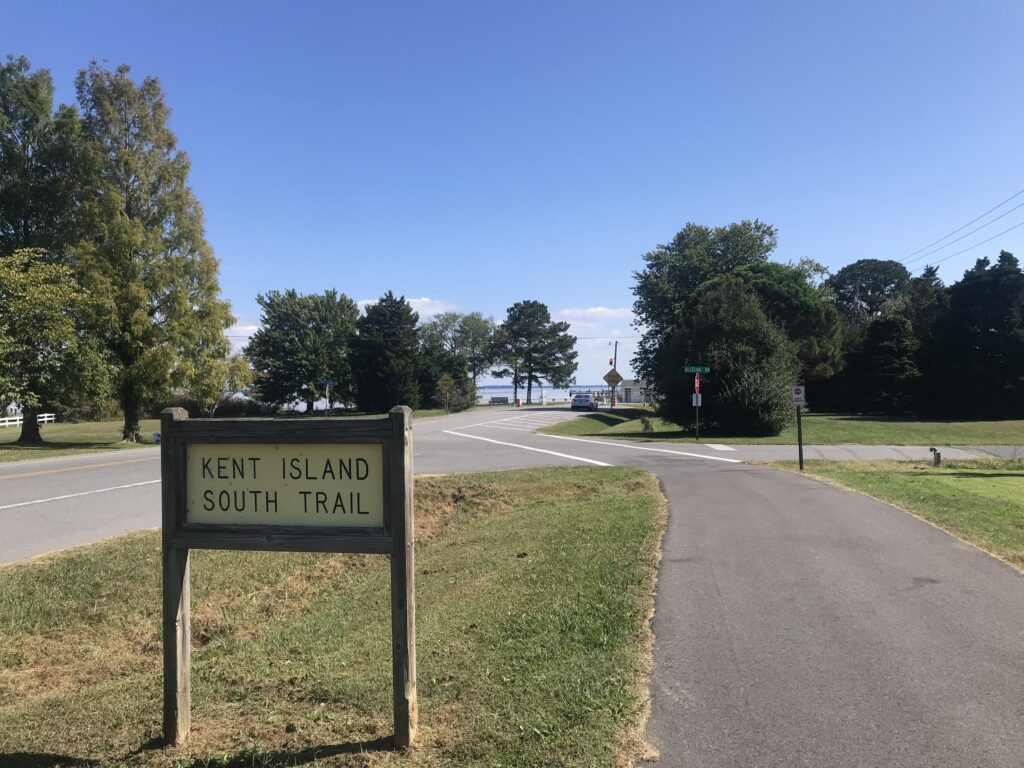
Kent Island South Trail

In a nutshell, there are two trails on the island and some road riding that connects them if you are willing. The road between the trail can be busy.

The Chesapeake Bay Bridge in the background. Matapeake State Park.

I took the first exit and went south. I parked at the Matapeake Park – the entrance to the Kent Island South Trail. But I wasn’t interested in the trail so much. In fact, when I left the parking lot I didn’t know the trail existed. I didn’t see the entrance.

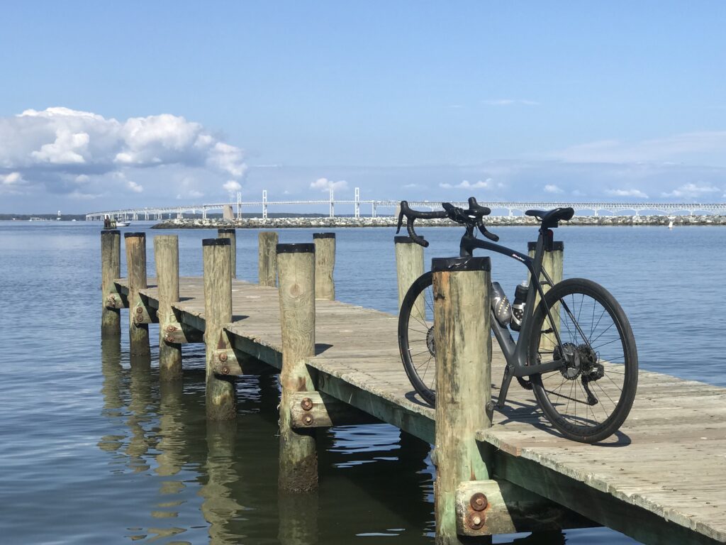
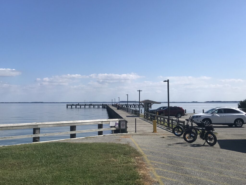
Matapeake State Park Pier

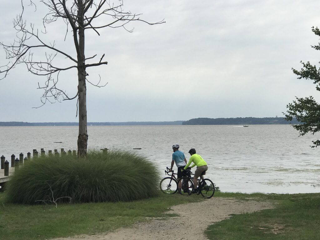
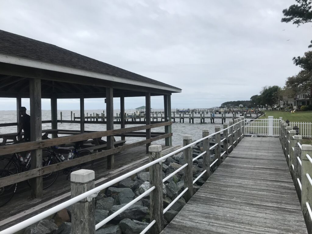
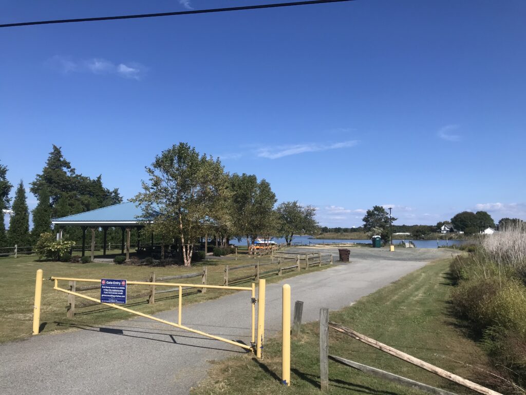
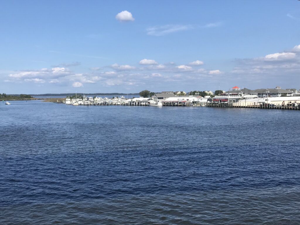
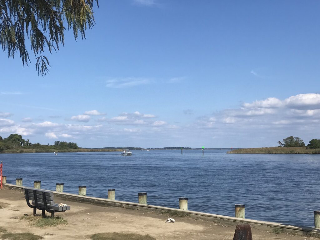
I first turned and went back to a pier and boat launch at Matapeake State Park. There is an excellent view here of the Chesapeake Bay Bridge.

Wide shoulder on Rte 8

When I reached the main road I turned right (south) and rode on the wide shoulder. I was very comfortable riding here and only then did I see a trail next to the highway. I jumped on the trail at the next opening.

The Bay Park

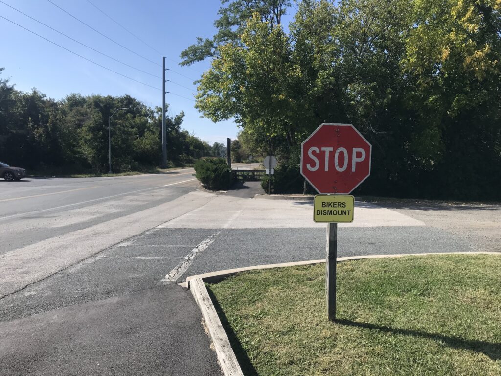
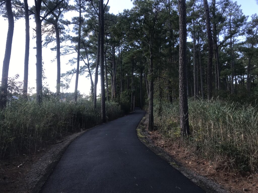
It is wide and is in excellent shape. The asphalt seems new. I’d say maybe this year but I’m not sure it’s that new. The only annoying thing is the many at-grade crossings of driveways and each one comes with a Stop sign and BIKERS DISMOUNT. Seriously? This is clearly driven by the county’s lawyer.

Every stop sign has these silly “Bikers Dismount” obviously placed there by lawyers

It is only 5.5 miles to the pier. An alternative which I intended to do was to follow the road to the southernmost tip. I followed the trail without realizing I wasn’t following my mapped ride. Maybe if there’s a next time.

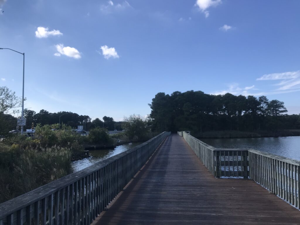
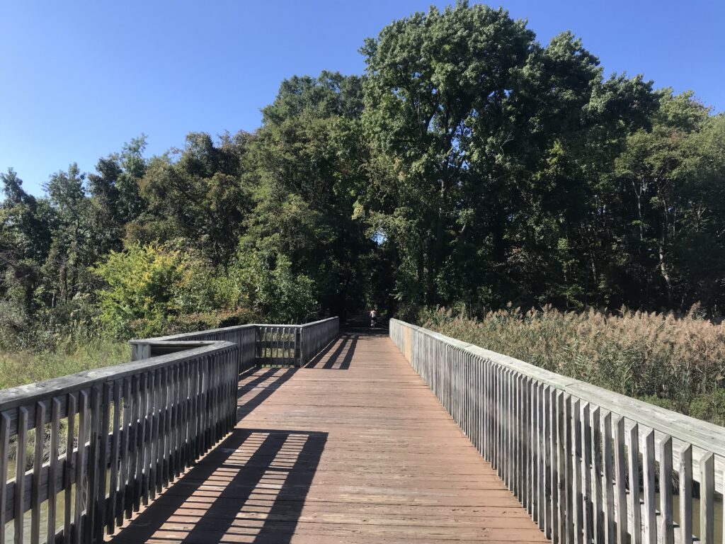
Boardwalk on the Cross Island Trail

I made it a point to follow the trail to the northern end. It took me right back to my car. I didn’t even notice it the first time.

Kent Island South Trail

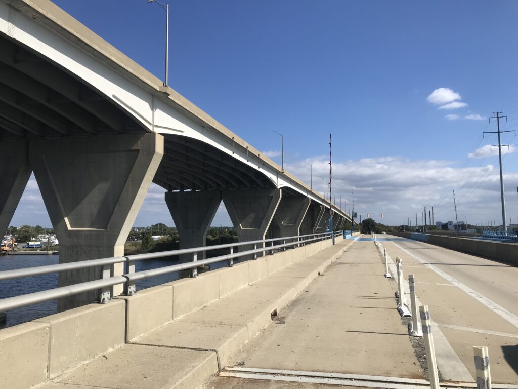
The second trail on the island is the Cross Island Trail. Generally, I prefer roads to trails so I decided to ride the road to the Kent Narrows Bridge.

Kent Narrows

It’s about 3-4 miles on Rte. 8 to cross U.S. 50. There is a wide shoulder the entire way although one must exercise extreme care when crossing the entrances to U.S. 50.

Boardwalk on Cross Island Trail

I turned on Main Street and for a while had no shoulder. The street is marked with a Bike sign – Share the Road – but to most motorists that means get out of their way not that bikes are entitled to the full lane.

Kent Narrows

I rode this section but I wouldn’t want to ride it with anyone slower than me and wouldn’t normally recommend the east-west road route on the island.

Kent Narrows Bridge

I got on the Cross Island Trail. I found a few boardwalks but know I missed the big one. I saw that as I left the island after my ride. Although I crossed the Kent Narrows Bridge I did not follow the trail to the conclusion on the west side.

Cross Island Trail

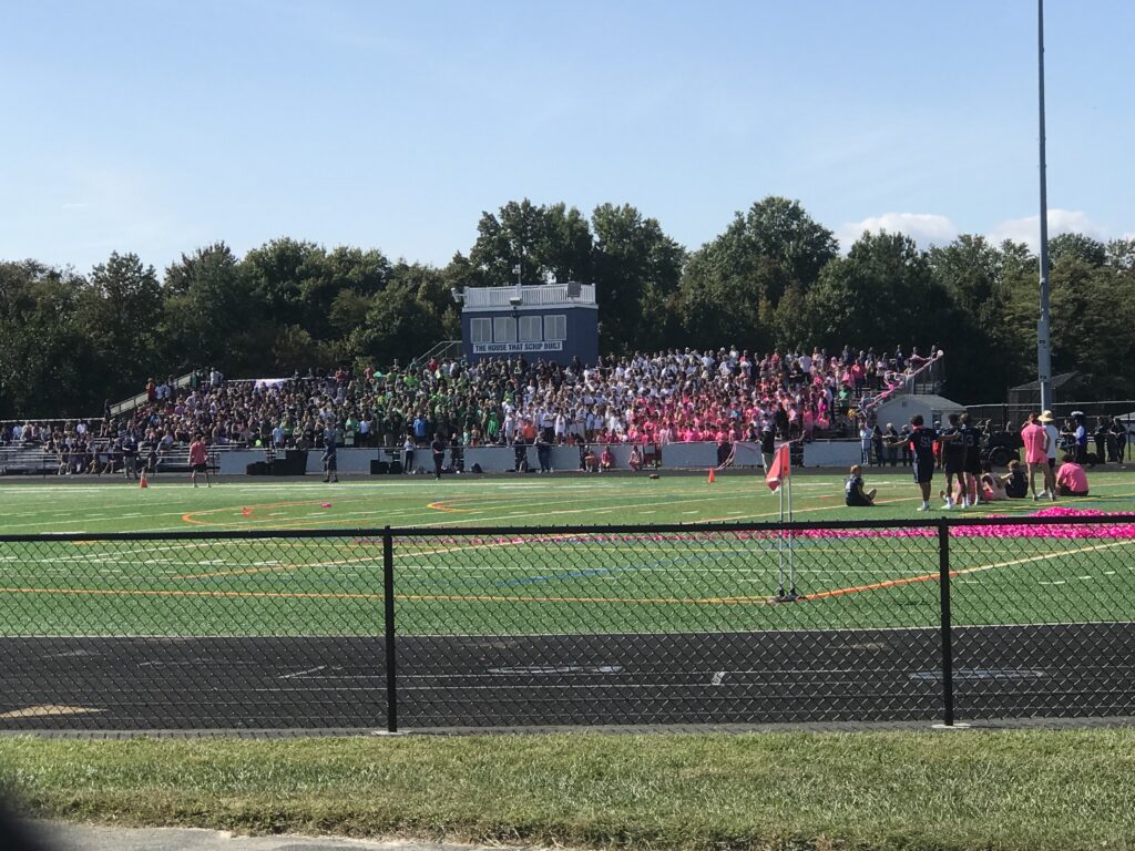
But I followed the trail back to Rte 8. It’s in great shape. Not built for speed as it meanders amongst the trees. It dumped me at Kent Island High School which was having a Friday afternoon pep rally. I stopped and watched.

Cross Island Trail

The emcee, maybe the principal, maybe the athletic director or even coach, introduced a returning former member. And then the quarterback who was standing at the 40-yard line. If the QB could hit the receiver 40 yards for a touchdown, all the students would get a free water at the next game or restaurant or something.

Kent Island High School, Md. (Pep Rally)

The QB threw and the ball went 35 yards in the air. It was a perfect strike but it wasn’t in the end zone. The receive held up, caught the ball, and then walked it. The crowd went wild. It also makes you appreciate the pros who can throw 50-55 yards or more.

It was a nice ride. Normally not a destination but sure is a great place to stop if you’re traveling through. I would love to come back for the western portion of the Cross Island Trail.


Cap to Cap to Cap

RICHMOND, VIRGINIA

It was a most beautiful day. Tim and I drove to Richmond and parked at the Great Shiplock Park which is about one mile from the Richmond Main Station. We rode to the station and waited.

Tim and the Great Shiplock Park

If only someone knew how to run a train. Sigh. A woman greeted us (nice) and told us the train was running late. Still under pandemic protocols, most of the large open station was closed off so people had to be in one area. The doors to the outdoor platform where one could breathe fresh air were locked.

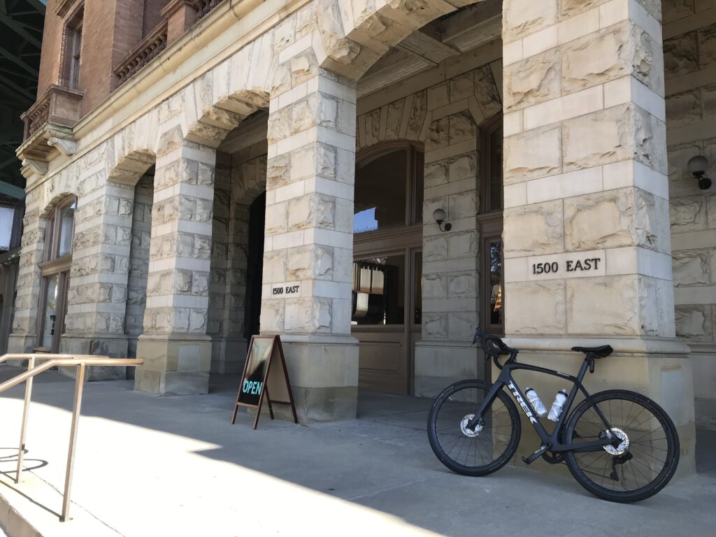
Entrance to Main Station, Richmond

When the train arrived and arriving passengers disembarked they could not open the doors to get into the station. And we could not leave to get to the platform. Finally (maybe no more than two minutes but for some people, it probably seemed much longer), an employee came and opened the doors.

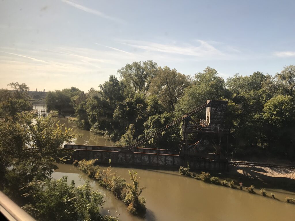
Great Shiplock Park (viewed from Amtrak)

Tim and I rolled our bikes onto the platform. The conductor said he had a bike rack in this car and “back there.” I guess I took this one and Tim went back there. We went to separate cars.

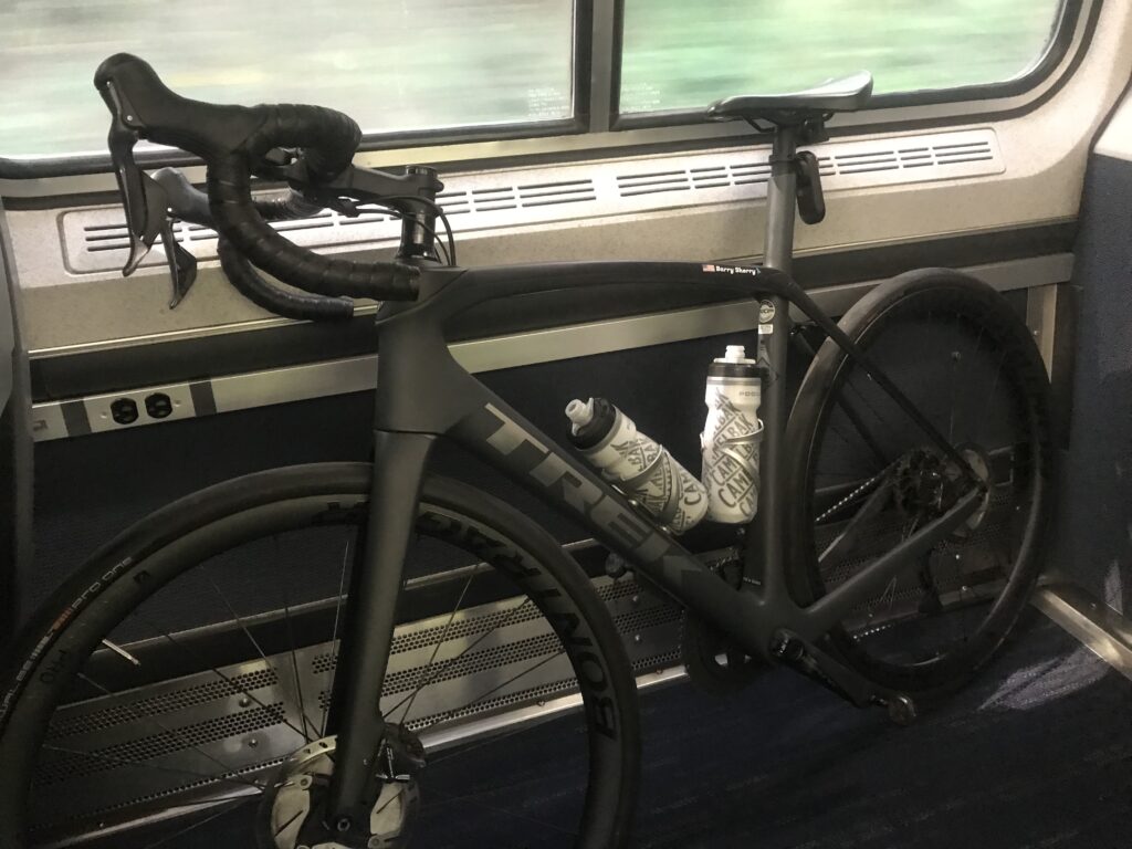
My bike aboard the train (ready to disembark)

The rack had one hook and I tried to hang my front wheel but the hook didn’t like a deeper rim that I had. I was able to turn it just right and hang it. I then saw an instruction sign that said to remove the front wheel. Not sure how that would have worked. I didn’t have my tool to remove the wheel readily available.

That also tells me Amtrak is not accommodating of many bikes. They must anticipate quick-release skewers which have been replaced by through-axles. Depending on the bike you may need a special tool to remove the wheel. I use a mini-rachet which I did not have with me. For an emergency, I could get to one in a tool kit inside my frame. As for bikes with bolted-on front wheels, they would be out of luck too. Amtrak can do better if they want to.

About halfway through the ride I put the bike in a luggage area. It fit better. I actually through we were approaching Williamsburg and was getting ready. But we weren’t.

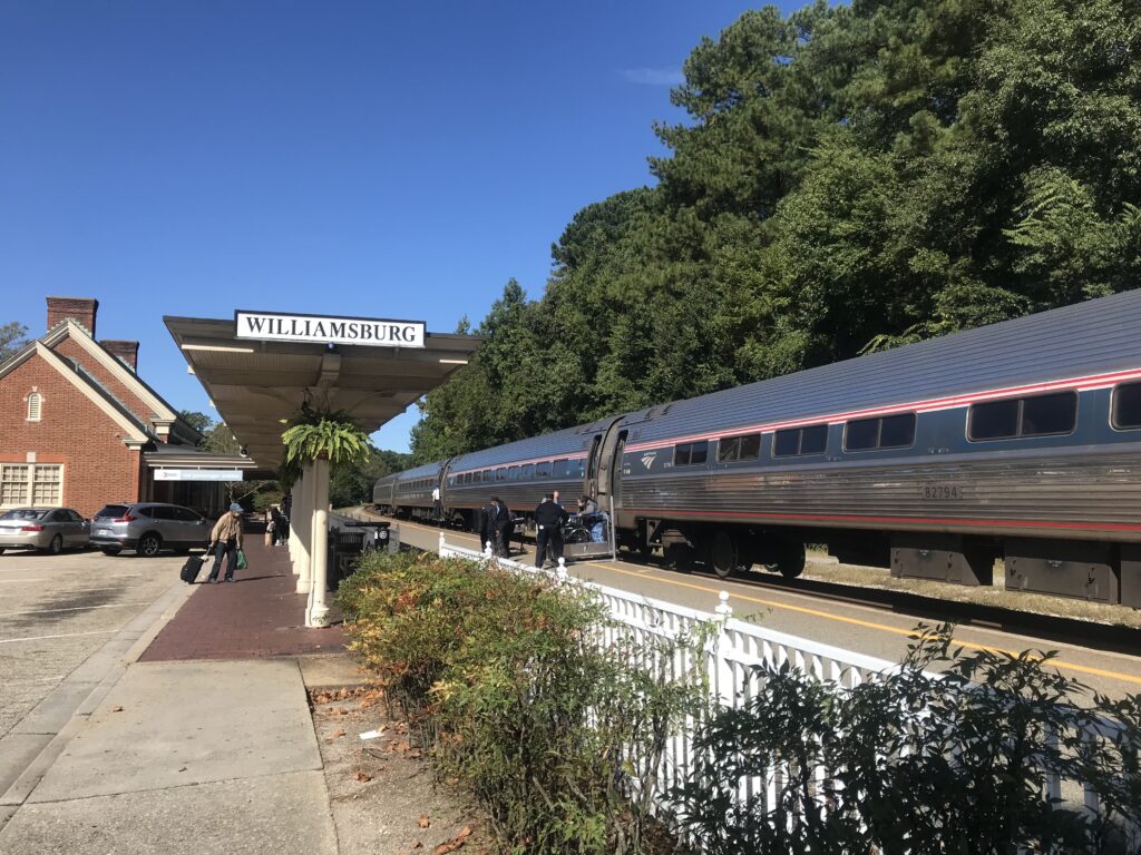
Williamsburg, Va.

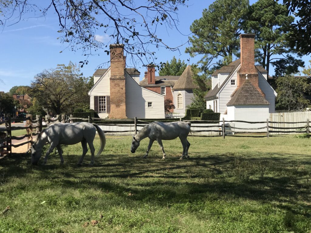
Once in Williamsburg, we rolled down through Duke of Glocester Street in Colonial Williamsburg. Very slowly. If Tim wanted a faster average speed today I killed it in Colonial Williamsburg.

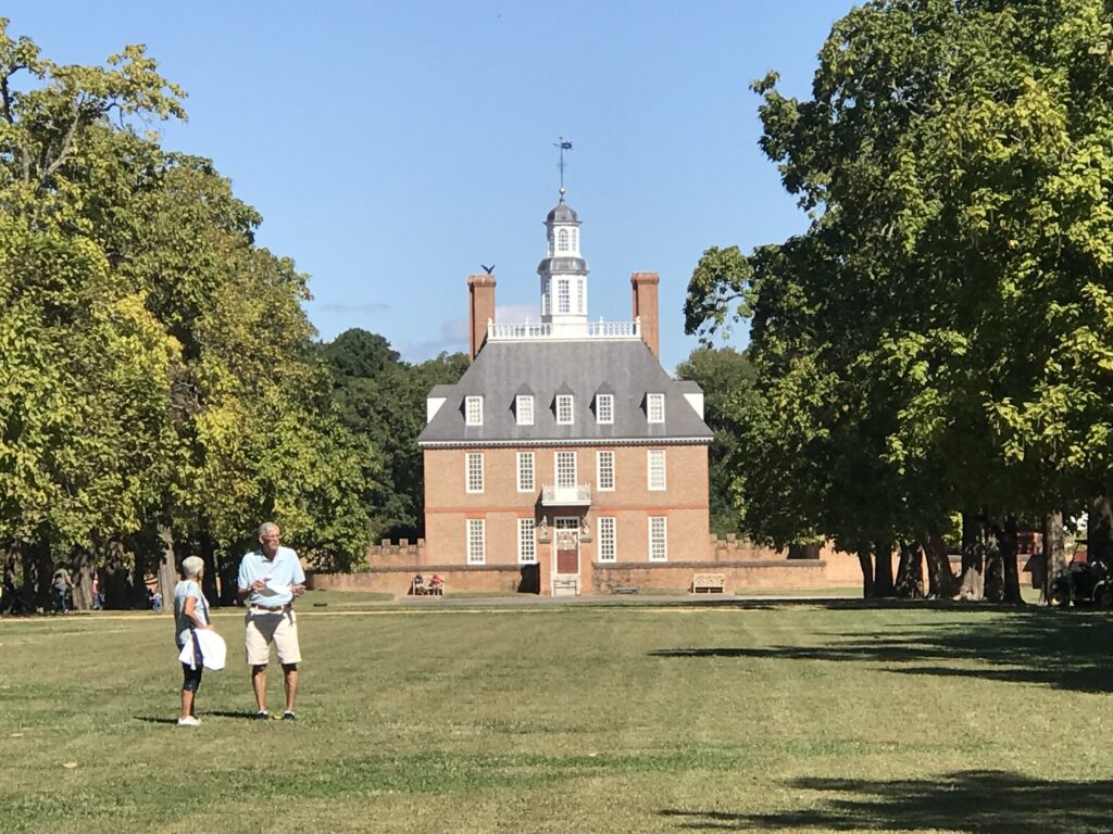
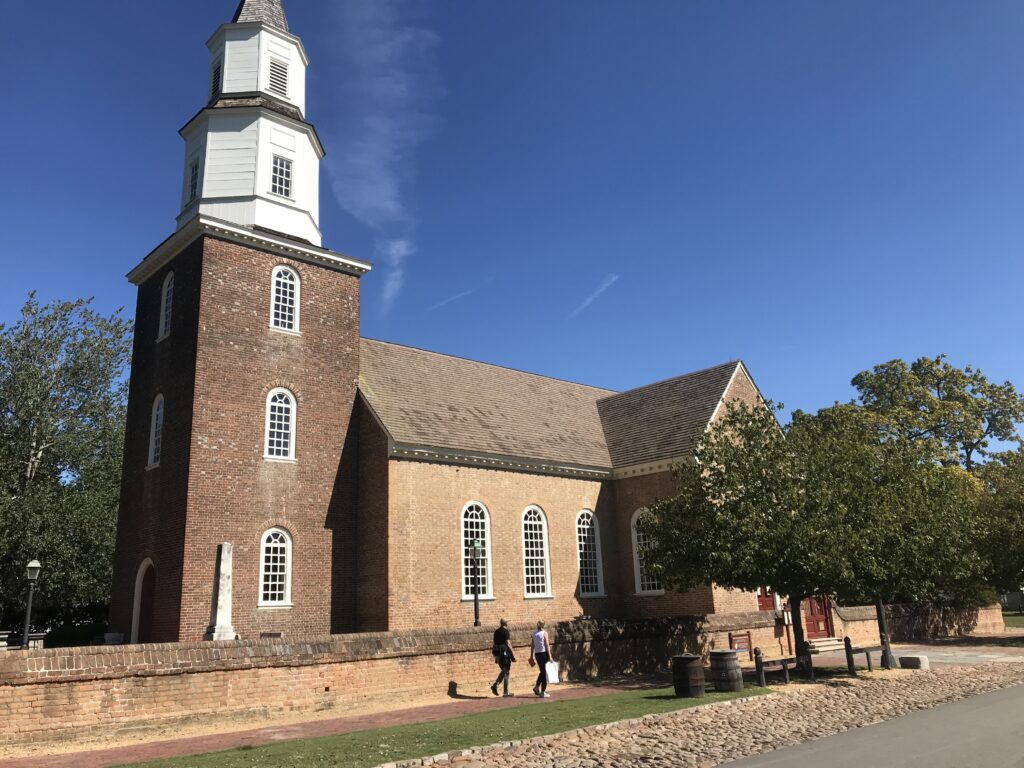
Governor’s Palace, Colonial Williamsburg

Rather than take John Tyler Highway directly to Jamestown to meet the trail, my mapping took us through some residential areas. They were very pretty but I’m not sure about the benefit. The highway did have a bike lane for much of it. I think the only section it did not was where we finally picked it up.

Williamsburg

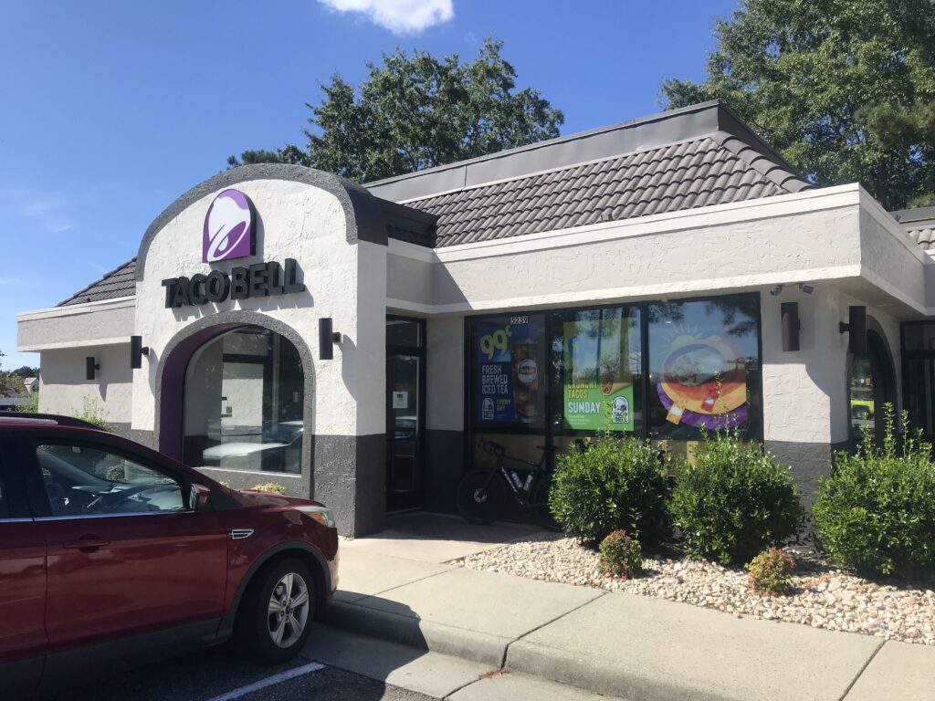
We passed a Taco Bell and grabbed a not-so-quick bite to eat knowing that food options were limited on the ride. It was 11:30 a.m.

Taco Bell, Williamsburg

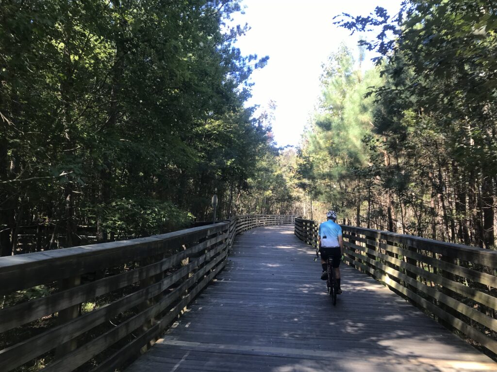
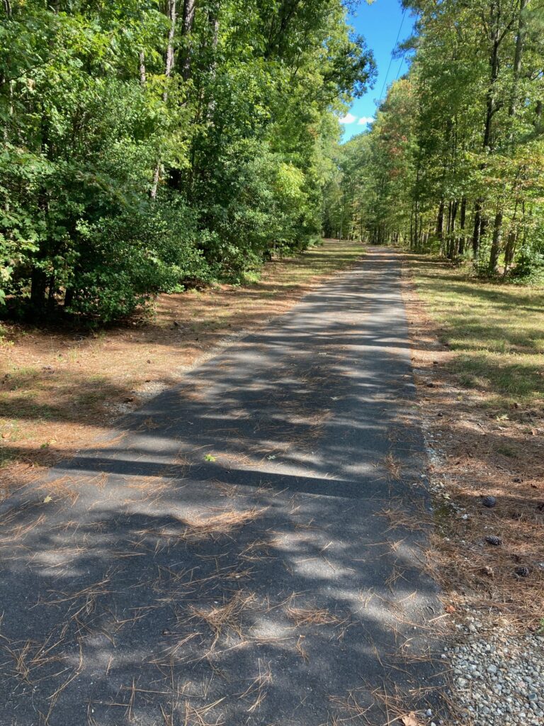
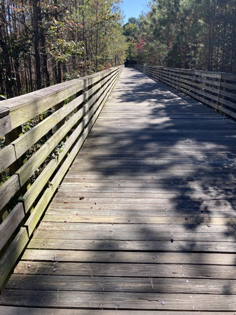
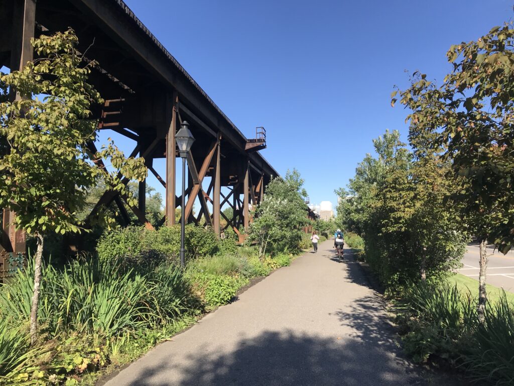
The trail in Jamestown was easy to find. The Virginia Capital Trail is a paved and boardwalk trail that follows the Rte. 5 corridor. While next to the highway almost all of it has a strand of trees between it and the road. When there is no traffic going by one does not see the road and it appears it is a trail in the woods.

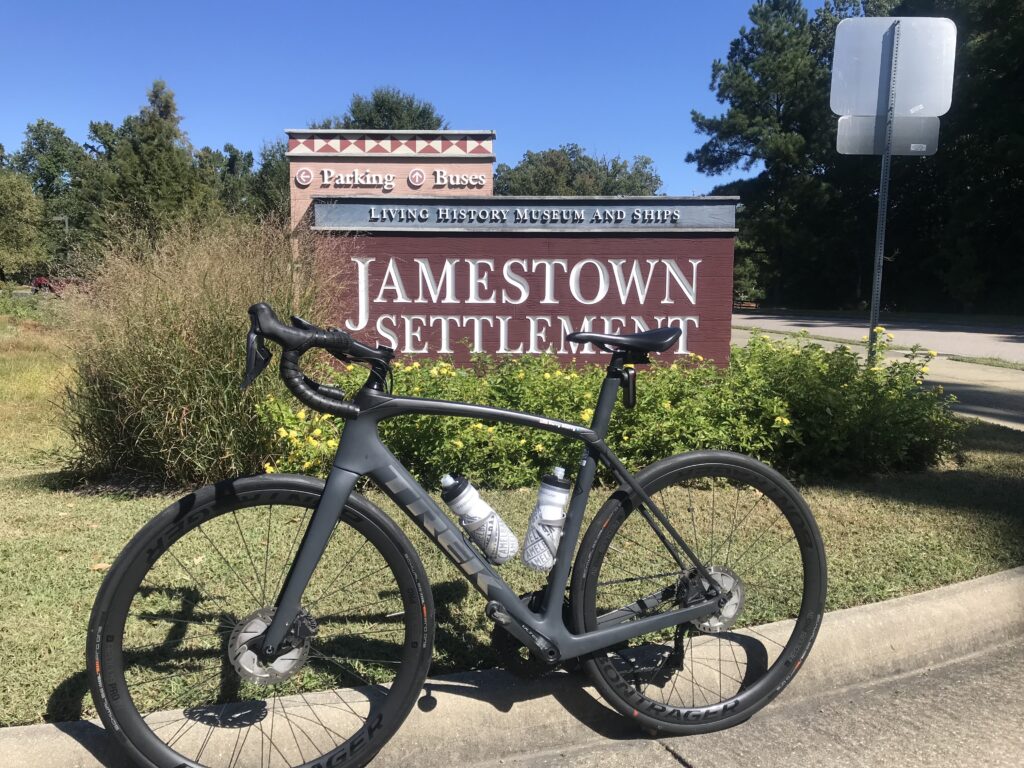
Jamestown Settlement

There are not many provisions on the trail. I had forgotten there was a very nice-looking deli restaurant at Mile 2.5 (Spokes + Art Provisions Co.). At Charles City, there is Haupts gas station which has some good fried chicken. Also in Charles City, there is Cul’s Courthouse Grille. And then northing until Mile 48.

The long bridge at MP1

We had a wonderful headwind most of the way. But it was 72ยบ and it was great.

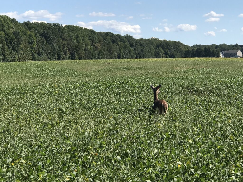
A deer is outstanding in his field

At Kingsland Road we left the trail as I opted for some back roads which added two to three miles. Tim was okay with that because he wanted to make sure we rode a metric century (100 km or 62.14 miles). The mileage would do that. These were roads used in the Climb to Conquer Cancer that I have ridder before. And I approved.

Chickahominy River

We stopped for water when we got back to the trail, around Mile 48 . There is a new 7-Eleven opening soon but was a store across the highway as well. Tim got water for the last five miles and we began the nice mostly downhill ride to Richmond.

Chickahominy River

I don’t know what picture I had painted of Libby Hill but I think Tim was picturing Mount Washington and not Libby Hill. When we got to Rocket’s Landing I could see the monument atop Libby Hill and pointed that out to Tim. I think he was relieved to see that it wasn’t far away and it wasn’t very high.

Richmond in the distance

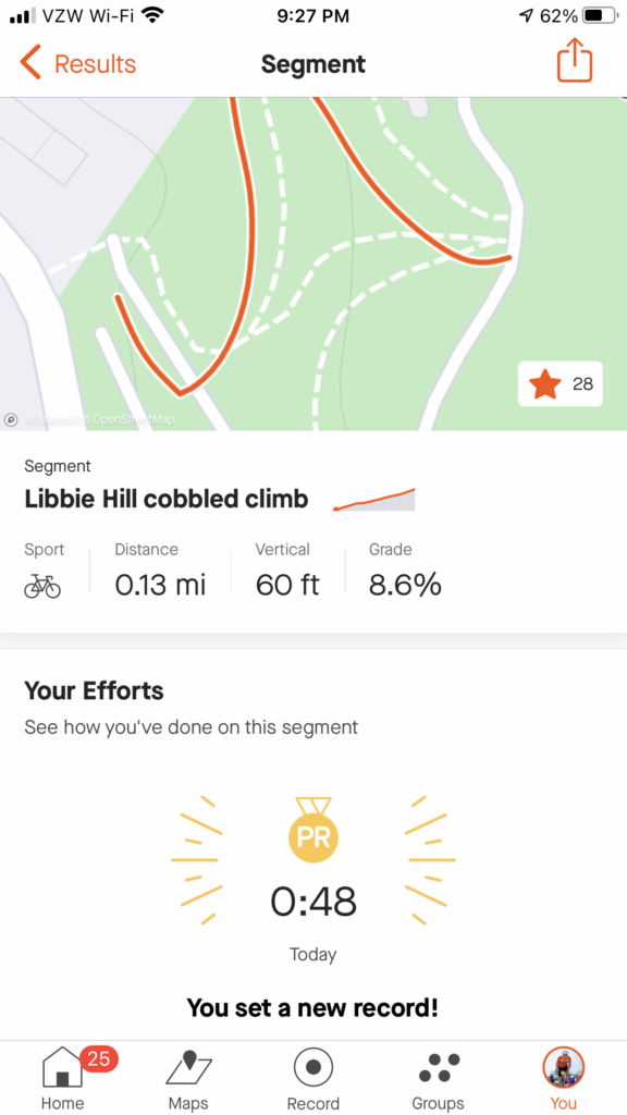
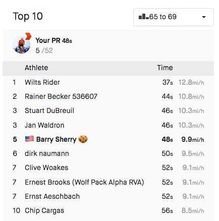
I wanted Libby Hill. Twice I raced it as a timed climb in the Climb to Conquer Cancer. Both times I finished at 0:53. Three weeks ago my time was good enough to win the 65-69 age group at the event. The problem for me is they had a 60-69 age group. I never saw official results and could not easily determine on Strava who I may have lost to but the most important person I am racing is me. And I wanted a good race time today.

Church, Williamsburg, Va.

We came to the gated entrance (no vehicles permitted) and I showed Tim the climb. He thought it might take him four minutes. I pointed out that even if he went half as fast as me he’d still be there in under two minutes.

The trail

I was hoping for one second. I hit the climb from a dead stop. The bike started to bounce. I made the hard left onto the climb and felt the rear wheel slip on the wet cobbles as here there is always some runoff or drainage across the road. It’s about 6″-12″ at best (worst).

One of the boardwalk bridges on the trail

My helmet, which I thought was tight, was moving as were my sunglasses. I never looked at my Wahoo Live Segments to see if I was ahead or behind my PR pace.

Near Great Shiplock Park, passing underneath the train tracks, Richmond

Halfway up is the sharp right-hander. Once I turned it I got out of the saddle. Three weeks ago I tried standing here and the bike bounced so much I sat back down. Today I stood and let the bike bounce.

Strava showed me 0:47. Strava disagreed.

I’m not sure if I was out of the saddle the rest of the way or if I sat. But I went across the top and saw the time – 0:47.

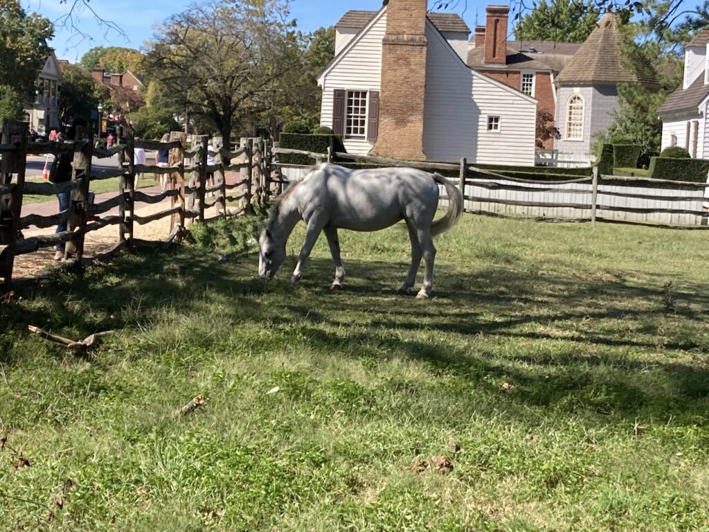
Horses in Williamsburg

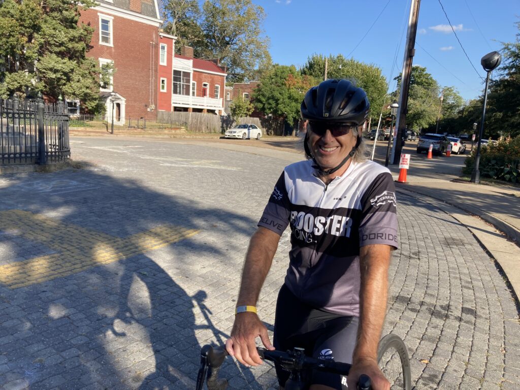
I killed it. I destroyed my previous best time. Then I saw Tim was coming and I was encouraging him as well. And in his first time, he came in 1:33. Excellent! Being his first time he now has a marker for a PR for the next time as well.

I beat Libby Hill. Credit: Tim

Officially, Strava would record my time as 0:48. I still destroyed it. And maybe the next cancer climb, a 0:48 would be good enough for the 60-69 group. (They should align with Strava’s 65-69 group but that’s a different discussion.)

The top two times were done on trainers and not actually at Libby Hill

We descended back to the car. Tim saw a parking lot that looked promising to cut through although we didn’t need to. But it had two bridges which led to Stone Brewing. When we exited we were in the outdor cafe area of the brewery. Oops. Let us ride between your tables. We went through the parking lot and were back on the trail only 400 meters from where we parked. In all we rode through three of Virginia’s capitals through history, Williamsburg, Jamestown, and Richmond.


WEIGHT: 170 pounds

I Got My MoJo Back

VIRGINIA

August was a down month. I only rode 893 miles whereas a summer month should always be over 1,000 miles. I was tired and I knew it. Not sick, just tired.

Last year I rode 1,200 miles in August. In 2019, I also rode 1,200 miles in August. This is what August should be. But 300+ miles less this year, it was an average of 10 miles per day that I was off.

August was hot. The day before my first big Punxsutawney ride I rode 30 miles in Virginia with Tim. It was 95ยบ. That left me drained. The heat continued into the second week.

Northern Cambria, Pa., Aug. 7, 2021
Don and Nancy’s house (they weren’t home)

By the third week, I cut back. And maybe it was too much. There was not a ride the entire week of 20 miles. The longest was August 20 in Concord, New Hampshire. I rode 10 miles in the morning and 11 miles in Maine in the afternoon. For the week I rode just 103 miles.

Maine-New Hampshire border, Aug. 20, 2021

Some of it was travel. Two trips to Pennsylvania then a long trip to Maine. It’s hard to get long rides in when you are driving most of the day. But then Mount Washington came. I had hoped to have a PR on Mount Washington but instead had my worst time ever.

Life’s a struggle

Maybe not worse but I was completely drained afterward. For the next 12 days, it was total blah. Nothing there. It took me 12 days to feel like my legs were coming back. And then on Sept. 2, I recaptured the Walton Drive Sprint KOM (52 sec.). I also picked up the longer Walton Roll KOM. I could not have done this in the prior two weeks.

I went to Richmond on September 12 for the Climb to Conquer Cancer. Riding solo instead of in a group this year, I was one mph faster than I was two years ago, the only time I had ridden this course. I marked a number of segments and I PR’d on every one of them except for two near the end that I held back on for a reason.

Not my jeresey

The reason was that I was riding well. I was spending a lot of energy but wanted one PR on the day. And that was on Libby Hill. Ultimately, I had the same exact time as I did two years ago. So no PR for me. But it was in the Top Ten All-Time age group. “Officially” I am 9th out of 53. But many of those are on trainers in their basements riding the Zwift Richmond Worlds Course. Not the same thing. I did not see anyone on Sept. 12, 2021, in my age group that was better. I think I won the age group for the event but never heard back from anyone.

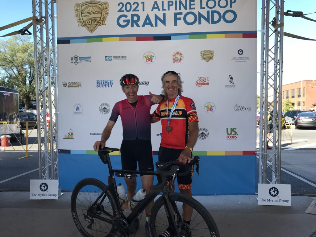
Then there was Sunday. The Alpine Loop Gran Fondo. I had my best ride in 10 years. Second overall for my age group – need to work on first. I was energized by my granddaughters cheering me on.

1000 Days 1000 Rides

There are times when one is tired. Worn down. And for me, I hit the way in August. I started to question whether I’d get my mojo back. But I am not alone.

Even the best in the world will hit the wall. Richard Carapez of Equador won the Tour de Swiss then finished third in the Tour de France. He went to Tokoyo and won the Olympic road race gold medal. Then he returned to Spain to race the Vuelta a Espaรฑa and withdrew during Stage 14. It just caught up to him.

So no need to worry when I don’t have it – even for weeks. Sometimes the body is tired and needs a rest. And what little mojo I have, will come back.

Alpine Loop Gran Fondo

HARRISONBURG, VIRGINIA

I did not have a good feeling about this weekend. Tires, like most bike parts, have been in short supply since last year. It caught up to me on Monday when I had a flat on my front wheel.

Rocktown Bicycles, Harrisonburg, Va.

I bought replacement Schwalbe tires and installed them on Thursday. On Friday I rode to Fosters in Manassas. While I was eating the rear tire went PFFFFFFT. That was strange for a new tire but I pulled out my repair kit, put in a new tube, and was ready to roll.

Rocktown Bicycles, Harrisonburg, Va.

The tire held well despite only 40 psi. I stopped at home, brought the pressure up to 90 psi, then finished my ride. After I put the bike back the rear tire went PFFFFFFT. I changed the tire and one hour later the third new tube went PFFFFFFT. Well, it was time to learn my lesson. I inspected the wheel and saw there was a hole in the rim tape. It was 7:00 p.m. on Friday and no place for repair. I would travel to Harrisonburg with a wheel needing repair.

James Madison University, Harrisonburg, Va.

Yesterday I went Rocktown Bicycles in Harrisonburg. This is a very nice shop and Sean greeted me. I told him what I needed and in 10 minutes I was out the door and ready to roll.

Maybe move the post two feet? Harrisonburg, Va.

As the top fundraiser for the Prostate Cancer Awareness Project, I was invited on a private ride at noon with Jeremiah Bishop. But my phone decided to bring in every single saved email and put it in my phone’s inbox. With thousands of emails, I could not find the one about the ride info. I tried unsuccessfully to contact someone about the ride.

Early morning registration

My alternative was that I went to Brothers Craft Brewing and then the Hotel Madison, two locations we had used in the past. No ride. Since registration was at 2:00 p.m. and I decided to ride around town. And that was OK because I did not need a 30-mile ride before the Alpine Loop Gran Fondo.

Robert Hess and Barry Sherry line up first for the roll out

I stayed in town at Tru by Hilton. Who uses alarm clocks? Well, the guest before me, that’s who. At 5:00 a.m. the alarm went off. I was not ready to get up. And I didn’t know how to turn off the alarm. I unplugged the clock and started my day with one less hour of sleep than planned.

The starting line – my vest was in my back pocket for the photo

I drove to the venue after thinking I would ride there. But U.S. Rte 11 looked sketchy (curb to curb, no shoulder). Once I arrived I got my timing chip and then heard my name being announced as the top fundraiser. I went to the mic and told my “secret” to raising money. “You have to ASK people.”

The choice today was 78 or 100 miles. These are the same routes except for the addition of a 22-mile loop. At the start I wasn’t “feeling” 100 miles. I got my bottles ready, grabbed some food, and went to the starting area. It was 48ยบ. I put on a vest and arm warmers.

Robert are you in there?

We rolled out of town. Once we turned on Switchboard Road I let people pass me. The road is crowded and it’s tight. I just don’t trust the big group. And I had a bigger goal. At 10 miles into the ride I would “celebrate” 1,000 consecutive days of riding at least 10 miles. I didn’t want to be taken down in a crash which almost happened beside me when a rider clunked his gears, came to a start, and was almost rear-ended.

Our fan section

Also, further back was Robert Hess. I pulled over to wait for him. I didn’t see him so I continued. But when we came to At Whitmore Shop Road I waited for him to arrive. We chatted for a few minutes and then he went left and I went right. I already let the main group gain 4-5 minutes on me.

Proud Grandfather

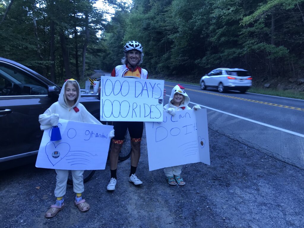
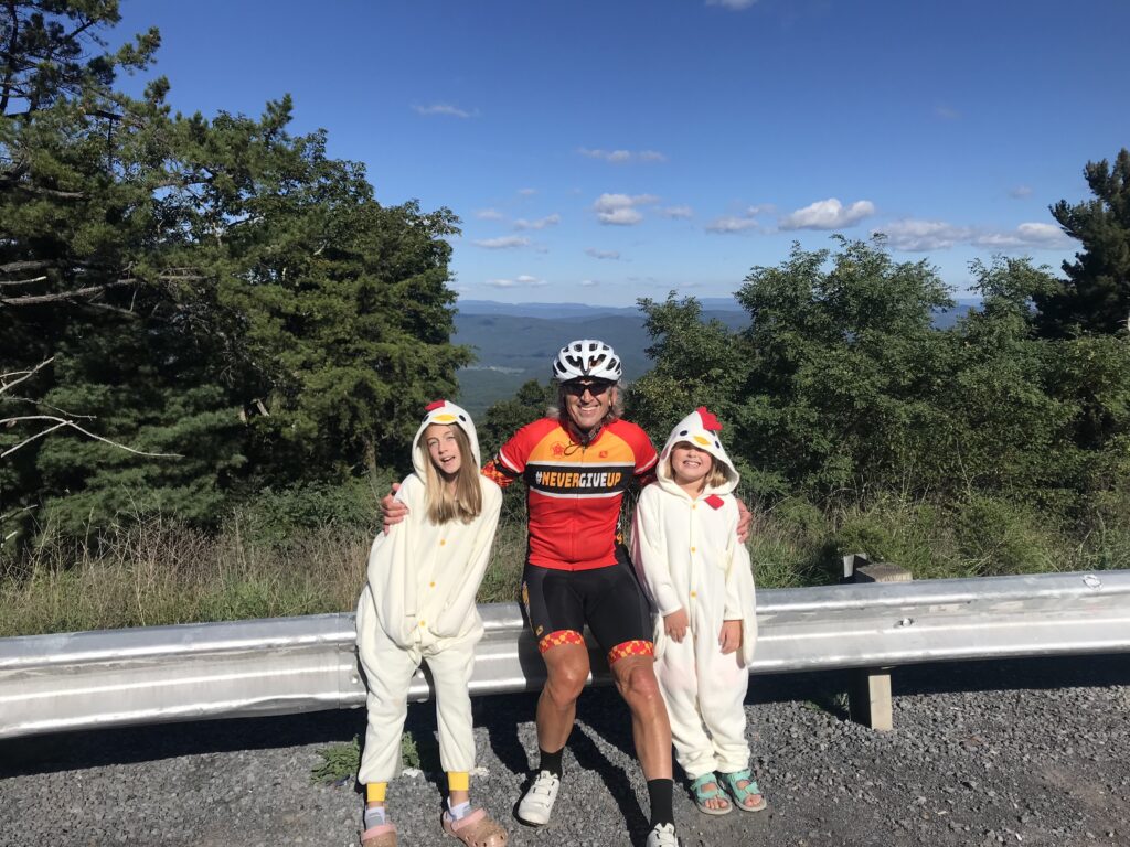
I told Ashley and Bryan they could expect me to roll by at 9:00 a.m. And at 9:00, I saw them up ahead on a pull-off area just before George Washington National Forest. They had signs cheering me on. I stopped for about five minutes, gave the girls a hug, and told them I would see them at the top.

Chickens on High Point

I hit the climb which is a timed KOM segment. After four or five minutes I looked at my Wahoo computer. I was only eight seconds behind my all-time best which was 10 years ago. I had no idea.

Another minute or so and I was only down six seconds. I started to think that maybe I could get a PR. I was 10-12 minutes in when I saw I was ahead by two seconds. And I was catching people. I was feeling good. Every previous attempt I was trying to count the distance to the top. Today I didn’t even notice. Everyone up the road was just a new target to reel in.

Volunteer at the rest stop in Brandywine, WV

In all, I caught and passed 11 people on the climb and did not get passed by anyone. Of course, I was almost dead last when I started so who was left to pass me? I was up 1:02 when I reached the top. A PR! I was very excited.

Rest stop at Sugar Grove, WV. Rocktown Bicycles provided the bike support.

At the top, the girls were waiting for me. My day was made. No matter what else happened I PR’d Shenandoah Mountain and I saw the girls on course. It would be a great day. When they told me that they would be in town in the afternoon I decided I would do the 78-mile ride so they could see me finish.

Sugar Grove, WV

I bombed the descent on Rte 33 to Brandywine. I made it over to the rest stop which is at the base of the climb up Reddish Knob. After a short break and a small can of Coke, the climb began. I don’t know what happened but almost immediately I was 40 seconds behind my best time. But the time began to come down. And I was catching and passing people. The Live Tracking on my Wahoo stopped working and I would have to wait to find out if I set another PR. (I did.)

Start of the climb up Reddish Knob

I passed two girls from the Miller School of Albermarle. I had been chatting with them at the rest stop and they were pulled over. I really admire these young kids. Since they weren’t in immediate distress I continued on but decided when I reached the top I would turn around and go back to shepherd them up the climb. I passed the KOM finish but realized it was about a half-mile short of the Strava segment. So I had to keep going to the end when I could turn around. In all, I passed 10 riders on this climb. I was passed by no one.

Flying down the mountain

Going back down I met the girls then turned around. One of them had to stop to take on a gel. But other than that they were riding well. When we reached the summit we started down Reddish Knob. I warned them the pavement was crap but they did not heed the warning. They flew! At first, they gapped me but I eventually caught on. They were taking too many risks for my liking as I hung on.

Flying down the mountain

As the road started to level out, we slowed down and just chatted. As we left the steeper part of the mountain which was mostly traffic-free, I went to the front and they stayed on my wheel until we reached the next rest stop together. They told me they were riding the 78-mile route.

The Amish near Dayton, Va.

Actually, I was feeling good enough now to ride the 100 but had the granddaughters waiting for me in town. I texted them that I would finish between 2:30 and 2:35.

Beaver Creek

In the valley I saw lots of Amish, at one point maybe more than 30 buggies pulled by horses. I passed one buggy, announcing my presence as loud as I could so I did not spook the horse. I waved at very single one that passed me in the opposite direction and almost all waved back – and smiled too. The time was 1:45 and they appeared to all be headed to a 2:00 gathering.

Near Dayton, Va.

Most surprising to me was a young Amish man passing me in the opposite direction. I waved but he couldn’t wave back as he had one hand on his handlebars and one hand holding a cell phone to his ear. It appeared to be a flip phone, not a smart phone.

Jeremiah Bishop and Barry Sherry

The last timed climb was Mole Hill. I wasn’t sure I would have anything left but saw that I got a PR on it too. And there were three more segments on the way back into town. I PR’d them all.

1000 Days 1000 Rides

At 2:32 p.m. I came to the finish. The grandkids were waiting. I was introduced to the crowd but without anything that I had written on my application. We took a family photo and I hung out for a while.

My riding partners down the mountain

After they left I checked Strava. PRs on the three timed climbs and all three I was in the Top Ten Age Group. Then I checked to see if there were any times better than mine in that list for today. And there was one. I found a guy who beat me by 2:00 on Shenandoah; 1:00 on Reddish, and I beat him by a minute on Mole Hill. So he got me by 2:00 total and I knew I was not the KOM for my age group. But I did finish second in my age group in the climb. And this year a sprint was added. I finished second there too. Maybe there were only two of us.

High Knob 33 is Shenandoah Mountain

But I was happy. My best times were 10 years ago and who would have thought I could PR at my age? I am not a climber and this improvement was very satisfying. I accept that there are better climbers. I had a great day on the bike and a better one off the bike with my granddaughters.

Everyone (that knew the Tour de France) loved this sign Ashley carried

Note: At the beginning, I was right behind a safety bump and was not clipped in to start. I awkwardly pushed off with my feet losing a couple of places and forgetting to start my Wahoo. This file is missing the first 0.4 miles.

Climb to Conquer Cancer

RICHMOND, VIRGINIA

I came to Richmond wanting to set a PR on Libby Hill. And if it was good enough, maybe win my age group (fat chance). I failed. I tied. Ugh.

Parking at Great Shiplock Park in Richmond

The Climb to Conquer Cancer is an event run by Amy’s Army of Cancer Warriors benefitting the Massey Cancer Center at Virginia Commonwealth University. I first did this event two years ago. In that event, I climbed Libby Hill three times, one pre-race, and twice during the race. Today I climbed it to get to registration and then during the event. I also did the climb once when I rode from Williamsburg to Richmond. So this was my sixth time.

Timing Chip – Climb to Conquer Cancer

In the COVID era, some events haven’t come back (Livestrong-Austin is canceled next month). Others are modified with smaller fields. This was an extreme modification. They offered no rest stops. None. Nada. I would have to carry everything I needed with me or stop along the route.

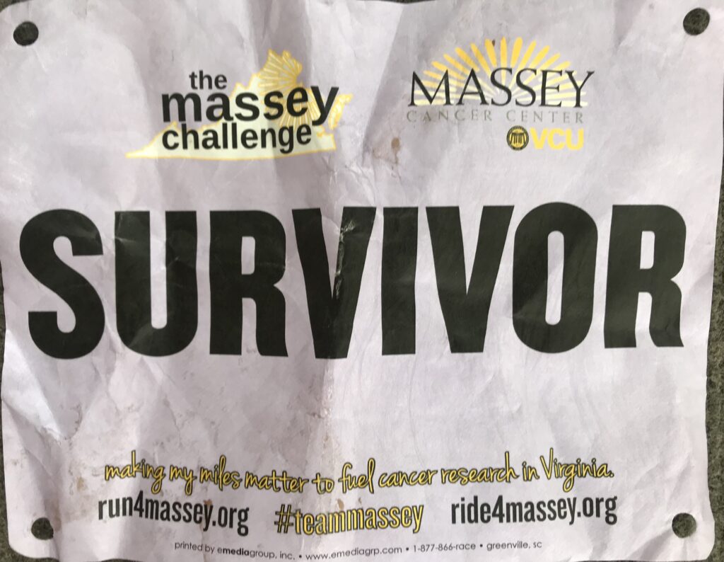
Survivor Bib – Climb to Conquer Cancer

Unlike past years where there was a small ceremony, National Anthem, then a police-escorted roll-out, today was “show and go.” For me, it meant not forming up with any other riders.

Registration Tent

I left the house around 6:15 a.m. which was a little late. My ETA was 7:45 which was later than I wanted to arrive. I parked at Great Shiplock Park which is convenient enough. I had iced my bottles and took Skratch mix with me. Added that to one bottle, poured ice water in both. Grabbed two packs of entry chews from Skratch and one gel. And that would be my nutrition and hydration for the day.

Libby Hill Cobbles.

I rode up Libby Hill, even stopping to take a picture of the cobbled route. It is much bumpier than I remembered.

Monument Libby Hill Richmond

Registration was giving your name and being handed a timing chip plate for the bike. With one zip tie, it never fit well on the bike. I should have forced the issue and used two ties. There were “bibs” for survivors, in honor of, and in memory of. But there were no Sharpies to write names on them. And there were no safety pins to attach and wear them.

Was this Amy?

I signed up knowing this would be a “lite” version. I was OK with not having support. But I wasn’t prepared for not having a Sharpie or safety pins. I had those in my car. I would have taken some to registration. But this was a major disappointment.

James River, Richmond

On a cancer ride, there is great community among the riders when they wear the names of others or even themselves. These are talking points. Connecting with others. And today, this ride missed that.

Battlefield Park Road

It was a beautiful day. The temperature at registration was 65ยบ. There were some riders milling around and I wasn’t sure if they were waiting to register or not. I leaned my bike against a tree and registered. Then I rolled out by myself.

My Wahoo GPS seemed slow in drawing the route for me so I navigated from memory, a little, before it picked up the track. I only missed one turn but knew it right away. And then I was off and riding.

Virginia Capitol Trail

I had marked a number of segments, most were in the first half of the route, that I would compete for PRs. And they started coming just one after another. And each one was a PR. I caught and passed some riders. Twice I was passed by a paceline but it was actually once. After having been passed the paceline took a break at the 7-Eleven while I kept going.

Osborne Turnpike, Richmond

I rationed my food and water and never stepped off the bike. I put a foot down in the first block at a traffic light, then again crossing Rte 5, and finally, I took a natural break on a deserted side road (in the woods). No riders went by. I literally was by myself all day long only occasionally seeing riders up the road and passing them.

East Main Street, Richmond

Around Mile 50, with no additional food or hydration, my Wahoo tempted me with GO! I decided not to contest any more PR segments, waiting instead for the finish. I came to Libby Hill. There were a couple of volunteers at the base. I turned onto the cobbles.

Looking down Libby Hill

I have a bike better equipped for climbing the cobbles this year than I did two years ago. And I have a body better equipped. I should have set a PR. I looked for the gutter where I could ride the concrete instead of the cobbles. When that ended I turned the last corner. I saw a photographer so I naturally stood because standing photos are so much better than seated. But I quickly took a seat. It was too rough to be standing.

Finish line on Libby Hill

I finished. I asked about the timing chips and was told I could keep mine. There was nothing at the end. I wanted to take a photo of someone finishing. No one came. I left.

Capitol Trail coming back into Richmond

Other than Libby Hill, I’d say there are no hills on route at least after the first five miles. It’s a rolling country route, mostly roads but some on the Virginia Capital Trail. It’s neat to finish on Libby Hill. And it’s a good cause. I hope they can get back to a fully supported ride. With safety pins.


I don’t know about the timing on the climb. I sort of trust Strava uploads more than the chips on our bikes. I do not know what triggered the start of my climb. I did not see any timing mechanism at the start, only at the finish.

I don’t know what age groups the event has. If they use what Strava (and Mount Washington Auto Road Hillclimb) uses, I would be in the 65-69 age group. I was 9th overall, all-time, in my age group and five of those were done on Zwift in the comfort of their homes. And no one today was faster. But there may be someone who doesn’t use Strava. Or timing – maybe mine didn’t record for the event. I don’t know. And maybe they use a 60-69 age group and I can’t see the 60-64 age group. But it does look like maybe, just maybe, I won that age group today.

Overall, of people who uploaded to Strava, I was 16th out of 40.

MWARBH 2021

PINKHAM NOTCH, NEW HAMPSHIRE

I’ve got some thinking to do after this one.

The hill climb in 2014 was my last one. I mean, my last one ever. What got me to the top that day was thinking that would be the last time I ever raced on this mountain.

Each year I receive an invitation from the Mount Washington Auto Road Bicycle Hillclimb to sign up. And each year I ignore it. But having lost 40+ pounds last year I felt stronger and faster than I have been in years. I was feeling it.

The race did not take place last year and this year they were hopeful it could with a reduced sized field. It would be without the big tent and podium. No spectators. No medals. And the conditions seemed to change as the date came closer. I wasn’t 100% sure I would travel to New England until I left on Wednesday.

Mt. Washington Auto Road – the day before the race

I did not have a ride down which is required so I posted on a Facebook page for either a ride down or a driver (of my car) up. Samantha sent me a text and we were all set.

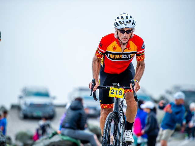
I went to registration at 4:00 p.m. yesterday then set up my bike with the number plate (#218), helmet stickers, and timing chip. I put the bib on my jersey, It was the most prepared I have ever been for an event. I was feeling it.

I was wearing my bright red Roosters Racing t-shirt and a guy saw that and asked if we (Roosters) were based in San Diego. I told him we could be. It turned out that he did a ride with Jim Ray (“Jambo”) a few years ago.

Notice the photo of Phil Gaimon in the Number Four

Samantha and Troy showed up along with Duncan, their dog. I gave Sam a bag of clothes for the summit along with my rider ticket so they could drive to the summit. I then headed back to North Conway for dinner and an early night, although it wasn’t that early.

I was up at 5:30 a.m. and got breakfast at the Hampton Inn & Suites. I drove out to the Auto Road and arrived by 7:15. I talked to the driver of the car beside mine, Jon, until Sam arrived.

Mt Washington from Pinkham Notch Road (Hwy 16)
The summit is straight ahead where the cloud meets the mountain.

Samantha found me and took my phone because I asked her to take some photos at the top. Looking at my starting time (8:50), I told her that I hoped to be there around 10:30. I would be way off.

I was expecting the temperature to be chilly at the start although I had not checked the weather. No arm warmers were necessary. My warmup was a ride out on Hwy 16. I started towards Wildcat ski station. When I reached 1.5 miles I turned around. I felt good but didn’t want to put unnecessary climbing in my legs before the race. I knew with three miles (out and back) that my total today would be around 11 miles. That would be enough.

It was fun chatting with other riders today, first at Glen House and then in the queue for the race. One guy said he had ridden this “35 or 40 times,” although some of those were unsanctioned in the 80s. Another guy wore a Stelvio jersey and we talked about Passo Stelvio. Another wore a green MWARBH jersey similar to the one I have but it appeared to be without a date. And he said he thought they used the design twice. I saw a guy on an Elliptigo – which is basically an elliptical machine on two wheels. It did not look like he had any super low gear and the event photos show him walking. Assume he made it but probably more walking than elliptical machine.

Bernie Ryan
He did a ride with Jambo a few years ago

For the first time, at the start of the race, I was in front of the bridge. Usually, I was on but most often, behind the bridge. I was probably in the third or fourth row although we were all loosely scattered. Our pre-race communications stated that masks would be worn at the start and at the finish. I did not see a single mask all day.

The cannon went off. One guy remarked “I hate that” (loud sound). We rolled out on the only flat section past the toll station. No one in our last group appeared to sprint to the hill about 200 meters away. In fact, I coasted.

Once on the climb, it was a pretty quick grouping. Some riders went to the front. Some stayed way behind. I was near the front but made no effort to stay with them. More or less I was in “no man’s land” the entire race. I do not recall anyone from behind after the first couple hundred yards catching and passing me.

Jersey ready to go

I came in hoping for a PR today. I weighed less than I ever did going up the mountain (unless in 2009 I was at 175). With Strava Live Segments I was getting live feedback. Almost immediately I was 10 seconds down. I thought that might be due to coasting on the flat section. Then I was 20 seconds down. And it was growing. I was not keeping pace with the old me – the former me. Although it was early in the race I knew that was a bigger problem. I would not be gaining that time back.

It was hot. My Wahoo was showing 85ยบ which felt to be accurate. I was sweating profusely. And those are the days I have problems with cramping. I hadn’t thought to prepare for dehydration other than I told one rider at the start that the heat made the decision on how much water to bring easy – both bottles or as much as you can carry.

MWARBH Dirt Section
Source: Phil Gaimon’s Worst Retirement Ever (YouTube), 2017
This is where I crashed in 2008

Some, many, or most of the yellow group were already up the road. Still ahead were pink and green as well as the blue and red groups, each five minutes ahead of the other. I caught a couple of greens and a couple of pinks. That’s hard to imagine since I rode so poorly.

I was truly by myself. I must have been gaining (slowly) on some even slower riders because I thought the visual of a couple of them on a crest was beautiful. I thought maybe I should have my phone/camera although not sure if I could handle it while climbing.

MWARBH Dirt Section
Source: Phil Gaimon’s Worst Retirement Ever (YouTube), 2017

I had taken a drink and altered my pace slightly to replace the bottle in the cage. And I felt a twinge in the hamstring. I knew then I was dehydrating and cramping. It was also when I saw the only photographer on course. I needed to switch bottles and held the empty one by my teeth while I reached down and moved the full one to the front cage. The photographer caught me with a bottle in my teeth. There was nothing I could have done other than take my empty bottle and roll it towards him. I didn’t. I’m no pro. I just let him snap away. I saw the picture. It wasn’t pretty.

Another view of the last curve – MWARBH 2021

Around the five-mile mark, I turned the corner and could see a long stretch of dirt ahead. And I could see a number of riders. It wasn’t so much that I caught anyone, it’s just that I could see maybe a quarter of a mile up the road, the only time all day I could do this. I focused on two riders who looked to be pushing their bikes. It must have taken me 12-15 minutes to catch and pass them. And they were pushing their bikes. I even told them it took me 12-15 minutes – they were walking about as fast as I was riding.

MWARBH Dirt Section
Source: Phil Gaimon’s Worst Retirement Ever (YouTube), 2017
This is near the beginning of the dirt section

At the six-mile curve, I turned the corner and thought that sure is steep. I think it’s 18%. I was expecting a photographer here but there wasn’t one. But the road was steep and the surface was quite hard, almost like granite. Rough granite to be sure.

Phil Gaimon – This appears to be Six-Mile Curve
Source: Phil Gaimon’s Worst Retirement Ever (YouTube), 2017

Then I heard the train. Damn! “We’re late,” I told one rider as I was passing him. In the past, I always ended with the train in the station. It sure makes for a nice photo. But the train was on schedule and I was not. It left the station before I arrived.

In the last mile, I must have passed 6-8 riders. I did not get passed by anyone. The last mile seemed easy and that is relative, of course. But fighting cramps, it was easier in this section to find the sweet spot and keep going.

Steve Liming, 68, Scottsdale, Arizona
Finish by Walking. But he made it.

I saw the final climb to the finish line. I was alone and was greeted by lots of cheers. “You’re doing great!” (I knew better – but anyone who can climb this, well, they deserve cheers). I’ve been up this seven times before so I knew I could do it again. I would have told you that I stood “out of the saddle” until the last 20 yards but the photos tell a different story – the truth.

It gets steep here (22%) – MWARBH 2021
Source: Joe Viger Photography

At the top, Sam was on the inside corner with my phone. I was both disgusted at my performance and wanted a good photo op. So I smiled for my camera (but not for the race photographer).

I rolled across the finish line. Once clear by 10 meters or so there was a stopping area. I put a foot down but couldn’t move. I knew if I swung my leg over the top tube that I would cramp severely. I leaned down on the handlebars, careful not to call it slumping. A volunteer came over and put a blanket on me. Although I was soaked, I did not need it. It was 57ยบ at the summit with a gentle breeze (10 mph). Another volunteer, or maybe the same person, brought me my medal and said she was going to just hang it on my bike, apparently thinking I was too weak to lift my head. I took what seemed like a long time but was probably no more than two, maybe three, minutes to catch my breath and get off the bike.

Last corner and 15 meters of climbing left – MWARBH 2021
Source: Joe Viger Photography

Sam brought my phone to me and then encouraged me to stand in the line on the hillside to get a photo at the summit sign. That took a while but she was waiting down by the finish line. We walked down the many steps to the lower parking lot. I loaded my bike next to that of Jen Murphy. I was most worried about the drive down – for cramps.

Eighth time up the mountain – MWARBH 2021

I was OK riding in the car. We pulled into the parking area. I opened the door in the Tesla and stood up. Then it hit me. A cramp in the left hamstring and buttocks. It hurt so bad. I tried to find a position to relieve it but finally collapsed to the grass. I was only down for about 60 seconds or so when the cramp passed. Sam helped me up and Jen gave me some electrolytes.

I was able to unload the bike and put it in the car. I was still in my sweaty bib shorts and was able to change out of them before the drive home. I just wanted to avoid cramping on the drive.

Almost to the finish

Actually, once I settled in I don’t think anyone passed me after Mile 3. But no one started after our group and all the stronger riders were already up the road.

I saw many paperboying the climb. I did not intentionally but there were times my wheel just seemed to changed directions. At times I had a hard time holding a straight line. But it was a matter of a few feet, not back and forth across the road.

I thanked every volunteer on course on the climb. It seemed at each mile marker there was a volunteer with a clipboard checking off each race number.

I don’t have good heartrate data since I did a 3-mile warmup ride and it is included in the data file. If I would do this again I need to just have a file for this climb. Maybe for RideWithGPS I will split the file and get a better look but keep it the same in Strava.

Maybe because of the cramping it was the second most tired I was at the finish. Or third. First was 2008 when I went up in regular gearing. The second may have been 2009 (PR) but I don’t remember being exhausted as much as I couldn’t unclip. And then today.

Barry, Sam Shipman, Troy

The original name of this blog was IBikedMtWashington. I guess it should have been IClimbedMtWashington except there are lots of hikers who also climb Mt. Washington. And I met a few of them today.

I was pleased they had the Polartek blankets at the summit. However, unlike years 2007-2014, they did not have the MWARBH and the Year on them.

Weight: 175 lbs*


THE GEAR

I was sad that I did not have my trusty Trek Pilot. Instead, I rode my 2021 Trek Checkpoint Gravel Bike. It is aluminum which makes it heavier than my Pilot.

It comes stock with a 30/45t front derailleur. And I changed the rear cassette to 11:40 giving me a 30:40 climbing ratio.

I put the Domane’s lighter-weight front wheel on the bike. The weight of the bike is 22.42 pounds.


THE RIDE DOWN

When I first came to the mountain in 2007 matching lone riders with drivers was easy. Or easier. The event came with a pasta dinner at registration and there was an area for drivers without riders (offering rides) and cyclists needing a ride. Sometime around 2010 the pasta dinner was replaced by a coupon good for a meal at a local restaurant and the matching process went online. There was no food coupon this year.


*I really don’t know about this weight. I had lost 40+ pounds through the end of 2020. I was religiously weighing in every day but then settled into a lifestyle where I felt comfortable. Whereas I may have stepped on the scale occasionally, I no longer recorded it. My last recorded weight was on March 25, 2021, weighing in at 168 pounds. I’m guessing I weighed 175 but maybe I was 180 or 185. But that was a good guess. I really wish I had been recording my weight since my first attempt in 2007.

Concord

CONCORD, NEW HAMPSHIRE

On my way to Mount Washington, New Hampshire, I was looking to stop the day before a little short of North Conway, mainly so as not to pay North Conway prices. I arrived last night and found a Papa Gino’s where I ordered a pasta dish thinking that would help me on the climb tomorrow.

Abandoned rail in Concord. I don’t think this is part of the railcar adventure.

I stayed at the Tru by Hilton which was a very nice property. It had rained hard overnight and I was hoping this rain would not doom the Mount Washington Auto Road Bicycle Hillclimb on Saturday. But the afternoon looked good although it was a very gray day in Concord. But I had plenty of time and it wasn’t raining. I asked the young lady at the front desk for routes. She asked if I wanted hills and I told her I did not. With a big climb tomorrow I did not need to ride hills today.

I had looked for rail-trails in the area but found none. I scouted the area briefly last night but didn’t see much. The only rail-trail riding I found was a rail car adventure where one can pedal a railcar on an actual railroad (abandoned). I didn’t think that was good to do the day before the race. Maybe next time.

Scenic Railriders, Concord, New Hampshire
(Photo – https://scenicrailriders.com
Used without permission but I’m advertising for your business)

I headed downtown having been warned that this was the weekend for the Market Days Festival. Since they didn’t open until 10:00, I asked a volunteer if I could bike through the market area. She waved me through and said, “Welcome to Concord.”

Market Days Festival in Concord

I was exploring completely on feel. While I can create routes and upload those to Wahoo, I need a private WiFi connection (home) to upload it. So I didn’t try.

Market Days Festival in Concord, NH

At the end of town, I wanted to cross the river and it looks like I found myself on Interstate-393. Oops. I did not see a sign restricting usage but knew I did not want to be there. I was able to turn around and find a safer route.

Merrimack River (Loudon Road Bridge)

It was a short ride. Just enough to loosen my legs. Arriving back I had to negotiate through the cars that were backed up off the highway waiting to go through the drive-thru at Dunkin Donuts. The Pacific Northwest has its love affair with coffee and long lines at coffee kiosks. And New England has their love affair with Dunkin Donuts.


Verified by MonsterInsights