Feeling Good
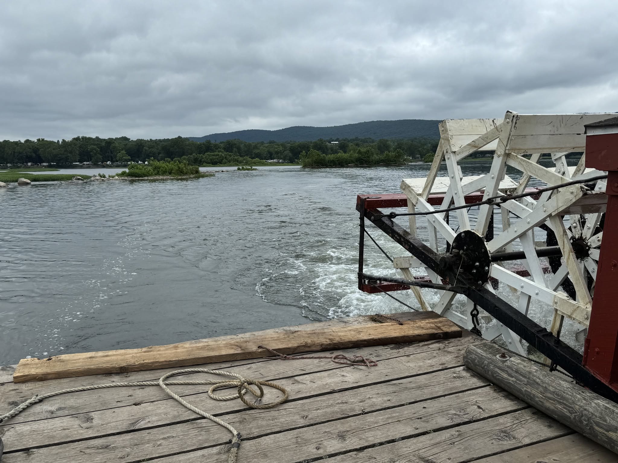
A Millersburg Ferry river crossing as I searched for a Big Boy viewing location.
A Millersburg Ferry river crossing as I searched for a Big Boy viewing location.
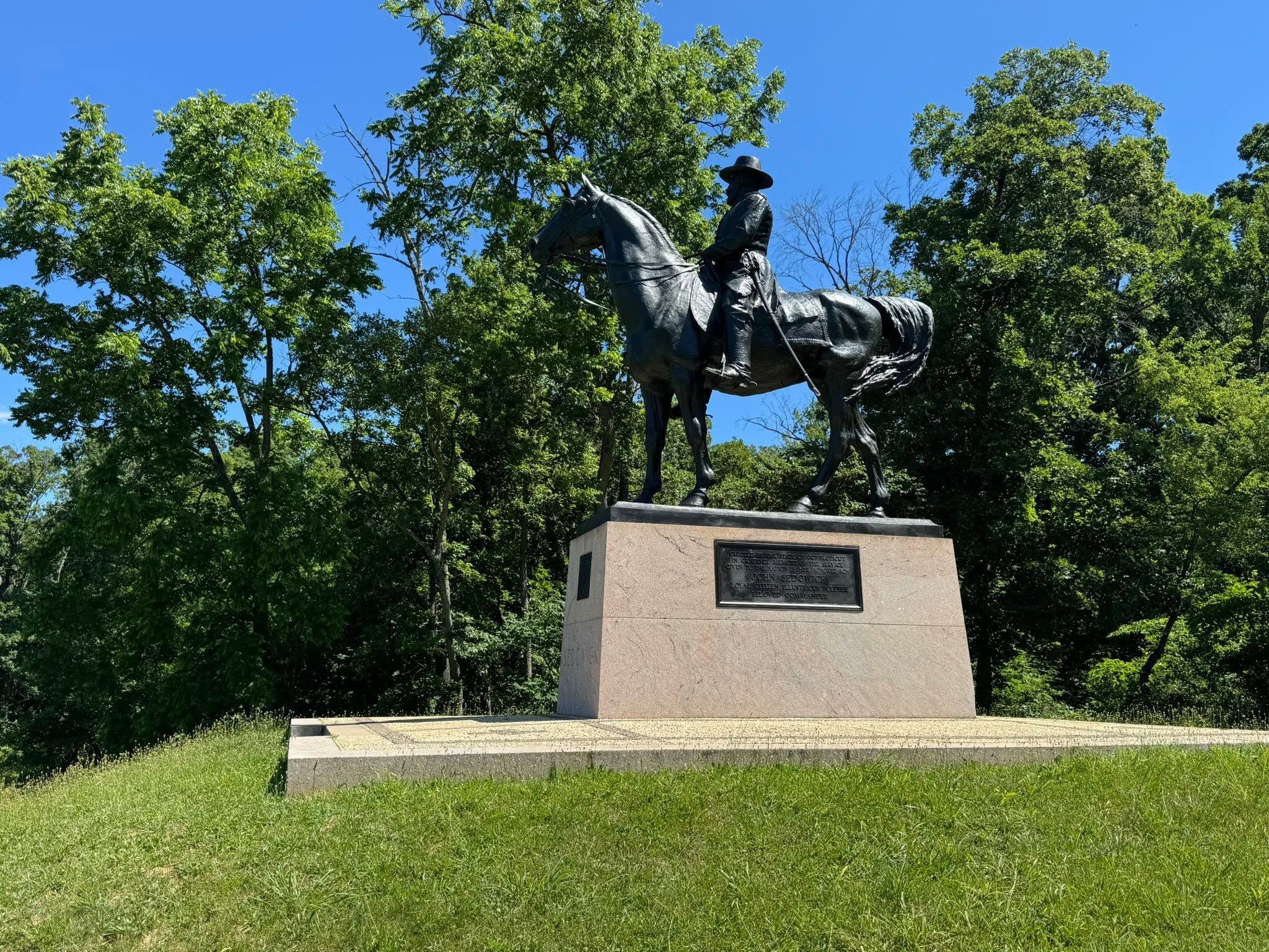
A 60-mile group ride from Thurmont, Maryland to Gettysburg (and back)
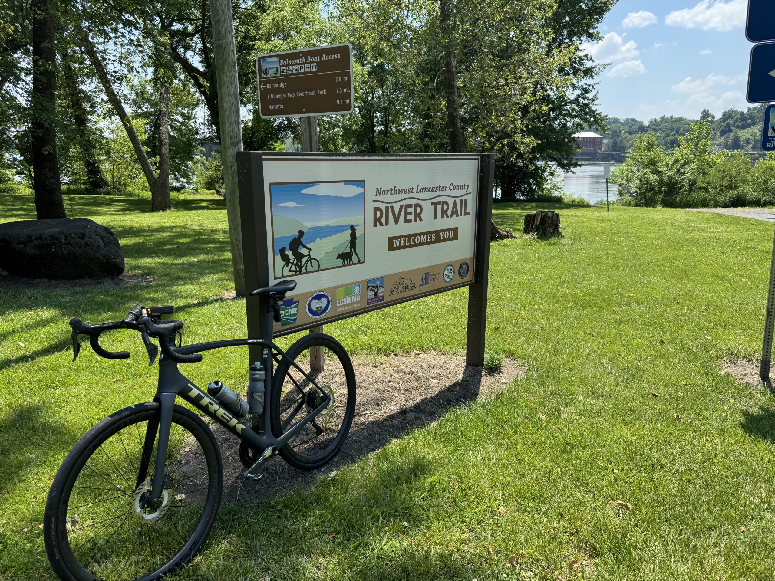
A trip mainly to the Northwest Lancaster County River Trail, this also incorporated some country roads out to Mount Joy.
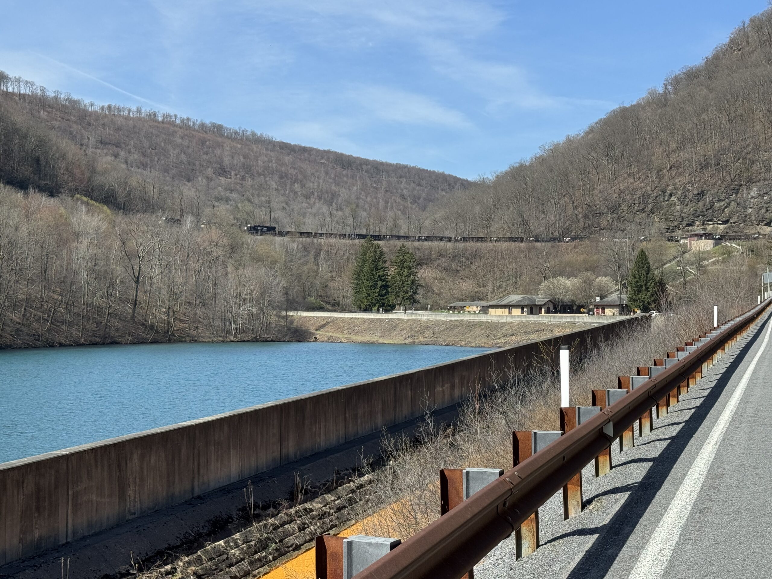
Train from Johnstown to Altoona and then a bike ride back to start
A time-constrained trip to the Ghost Town Trail exploring the connector from Duman County Lake Park

A ride on the Pine Creek Trail in Pa. Start in Jersey Shore by taking a shuttle to Wellsboro and then riding back to Jersey Shore.

A 42-mile hilly ride that crossed the Susquehanna River twice, including once by a paddlewheel ferry.


Recent Comments