
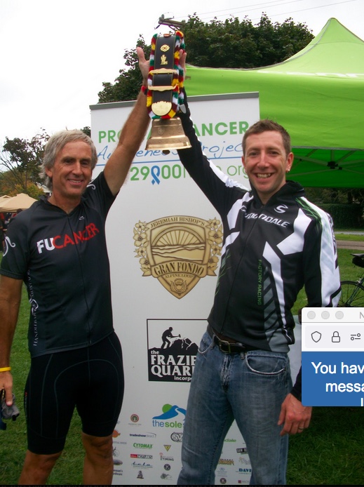
Alpine Loop Gran Fondo

I set a PR on Shenandoah Mountain. At least I thought I did. This was the Alpine Loop Gran Fondo.
Alpine Loop Gran Fondo
The 2018 version of the Alpine Loop Gran Fondo featured plenty of cramping
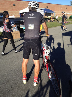
Dead Legs
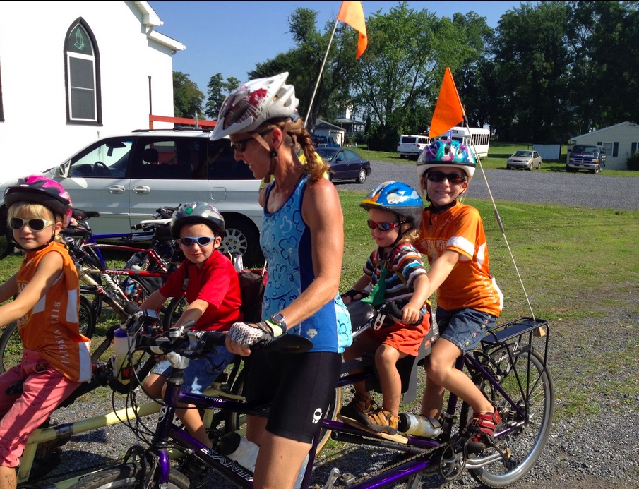
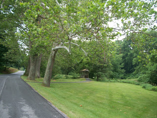
The Last Day of Bike Virginia. I skipped the actual ride and just rode home.
Recent Comments