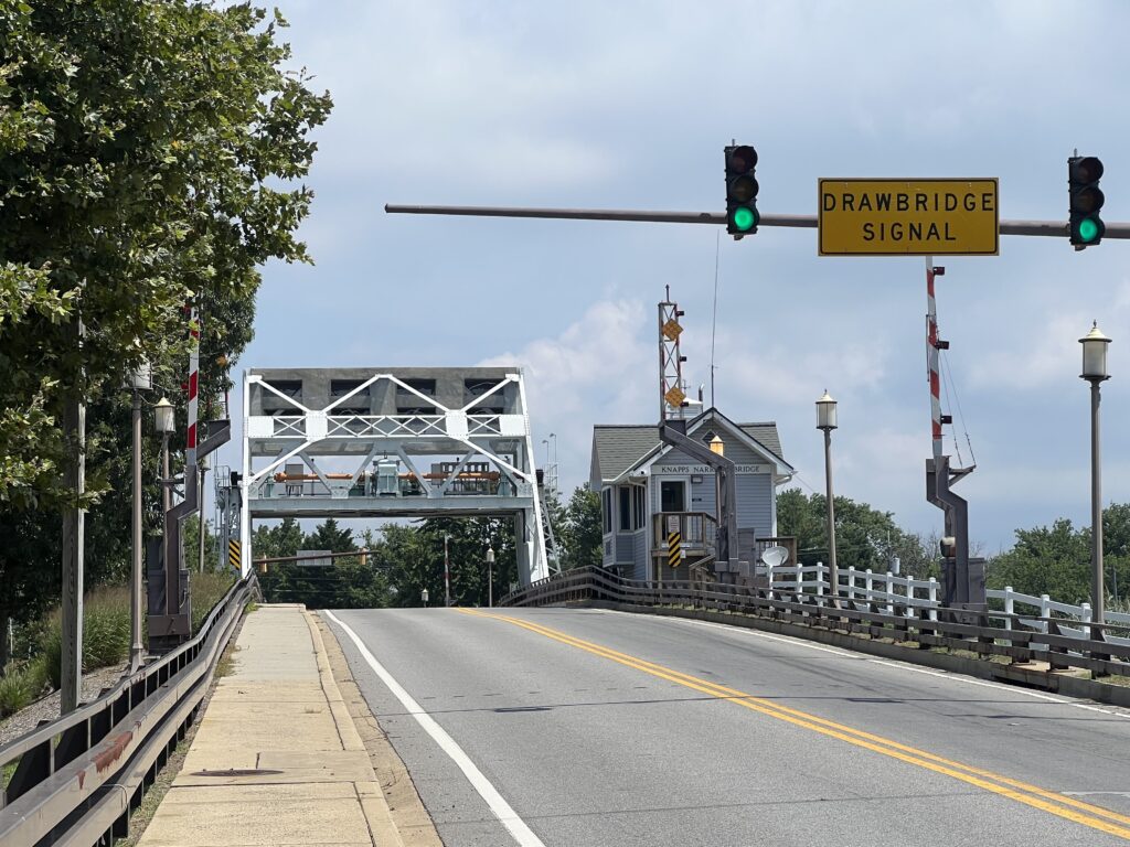
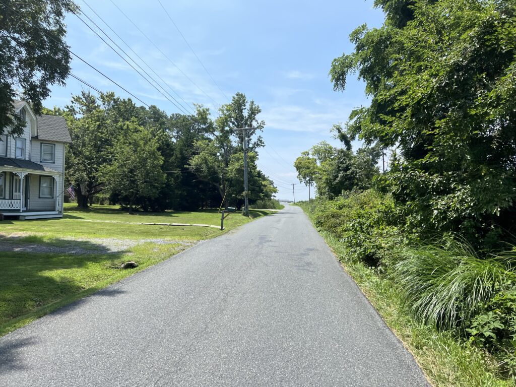
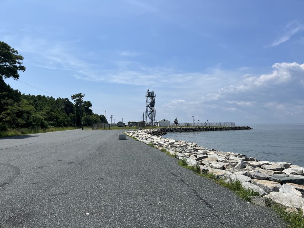
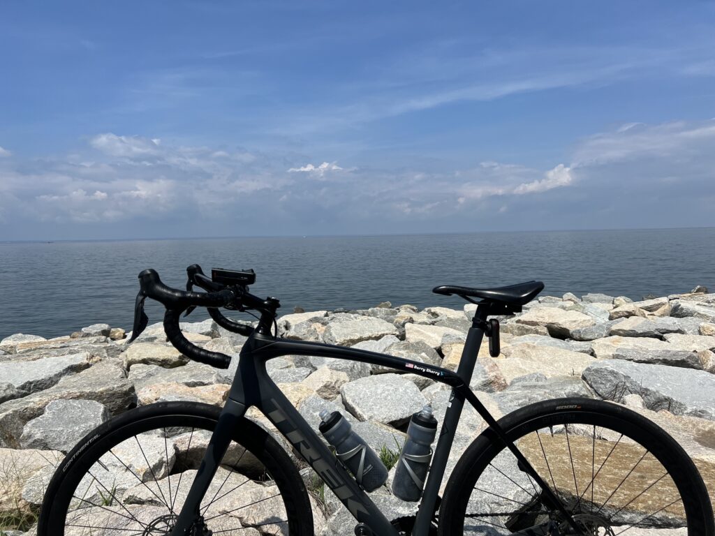
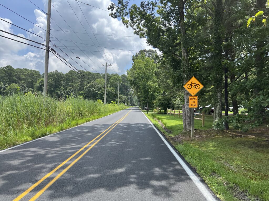
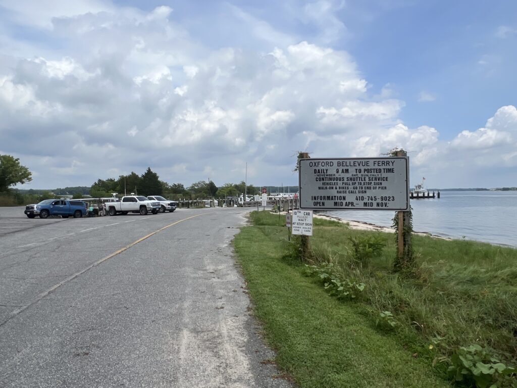
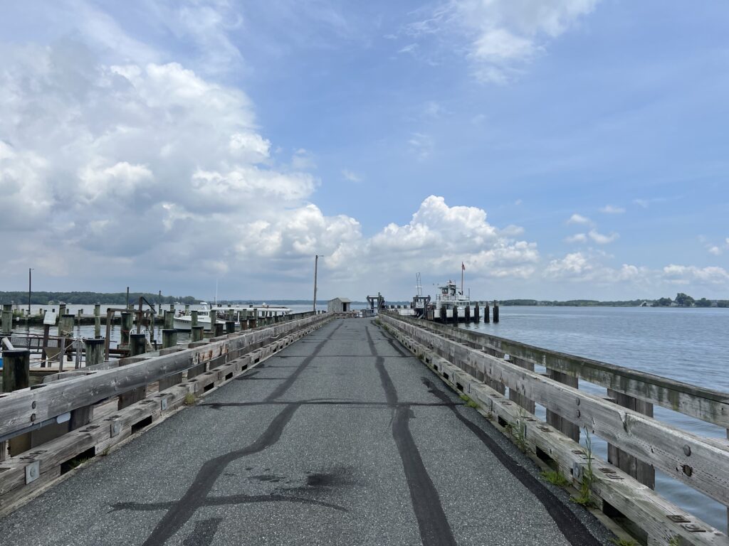
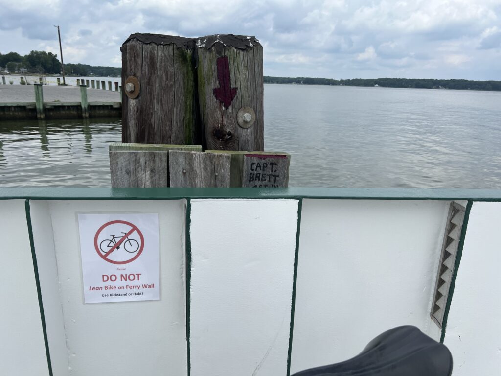
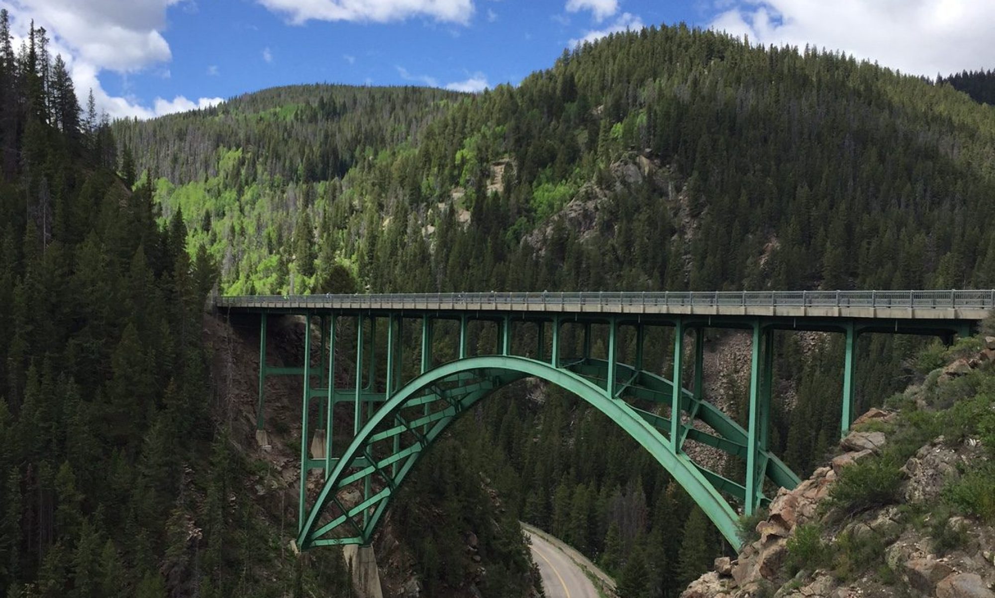
Sachs Bridge

THURMONT, MARYLAND

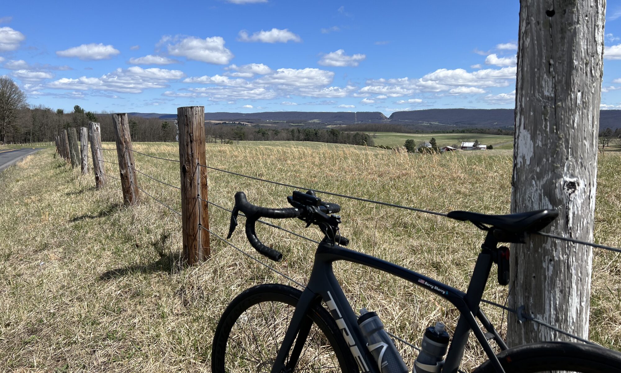
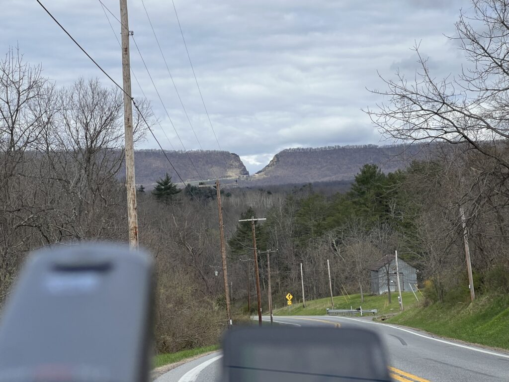
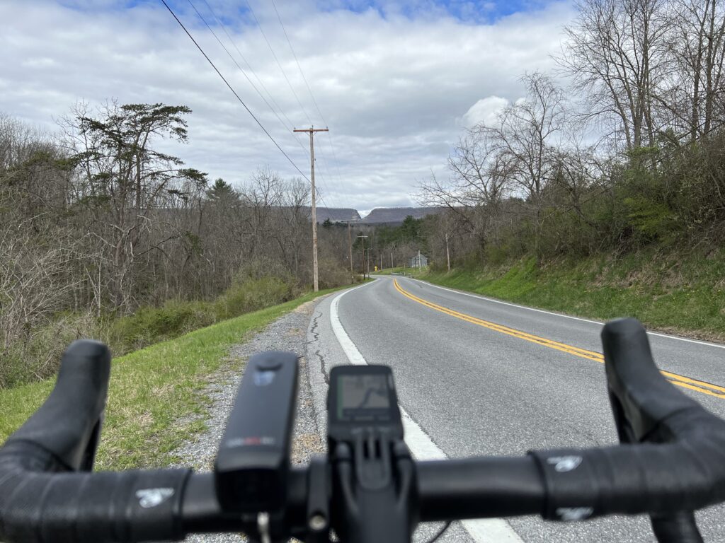
I had seen the Sachs Bridge a couple of years ago on a social media post and decided I should ride that bridge someday. That someday came today.

It was only a few weeks ago that Michele posted a three-covered bridge ride in Frederick Co., Maryland. I couldn’t make the original date but rode it the day before on my own. It was beautiful except for the four miles of getting in and out of Frederick which was a bit sketchy with traffic. But the roads and scenery are great.

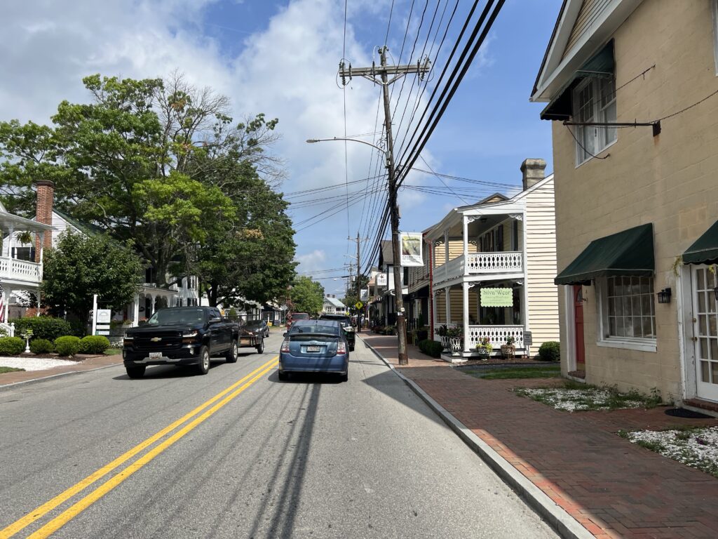
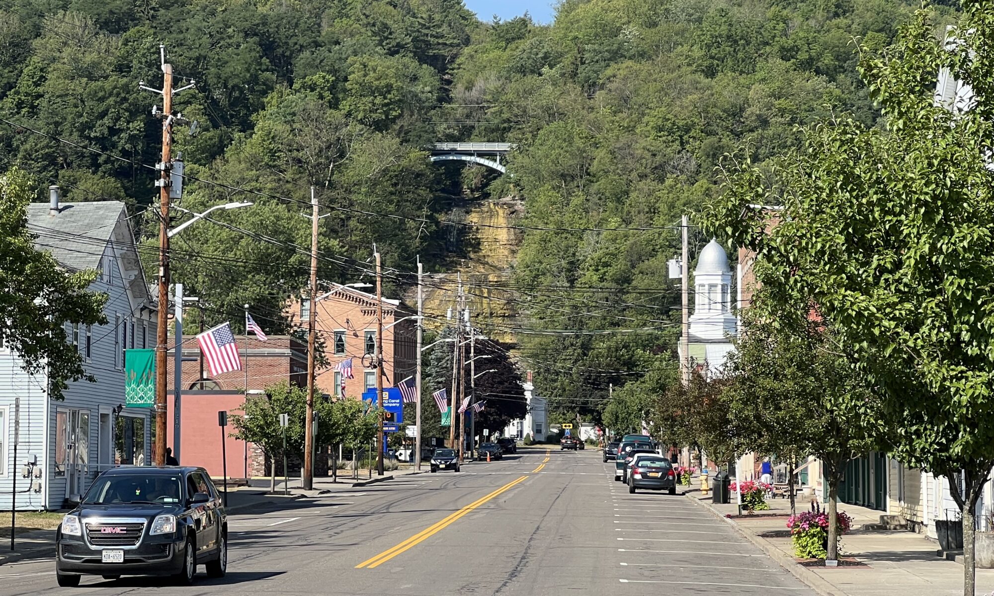
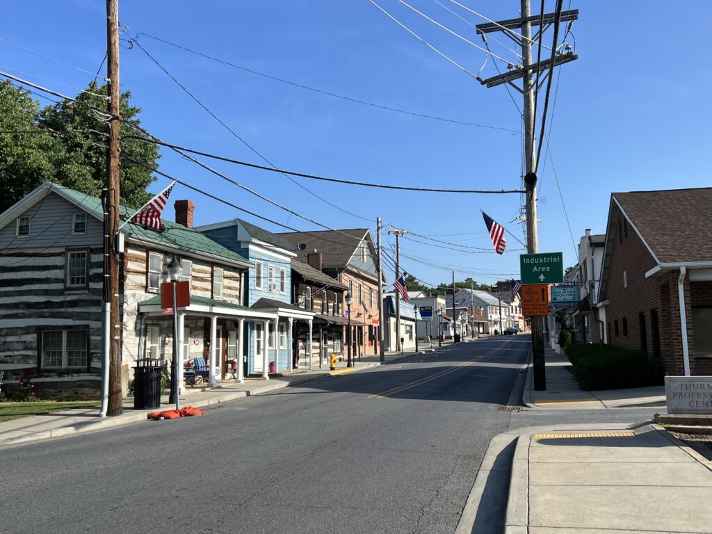
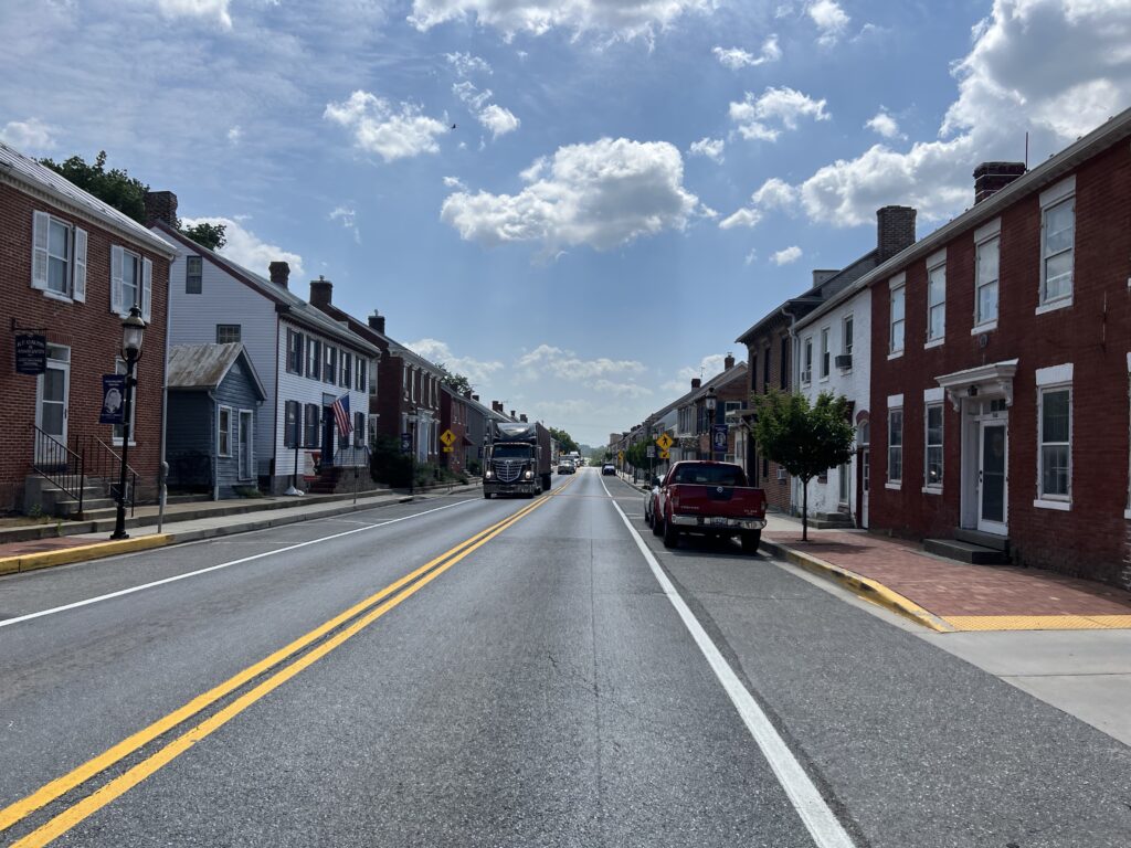
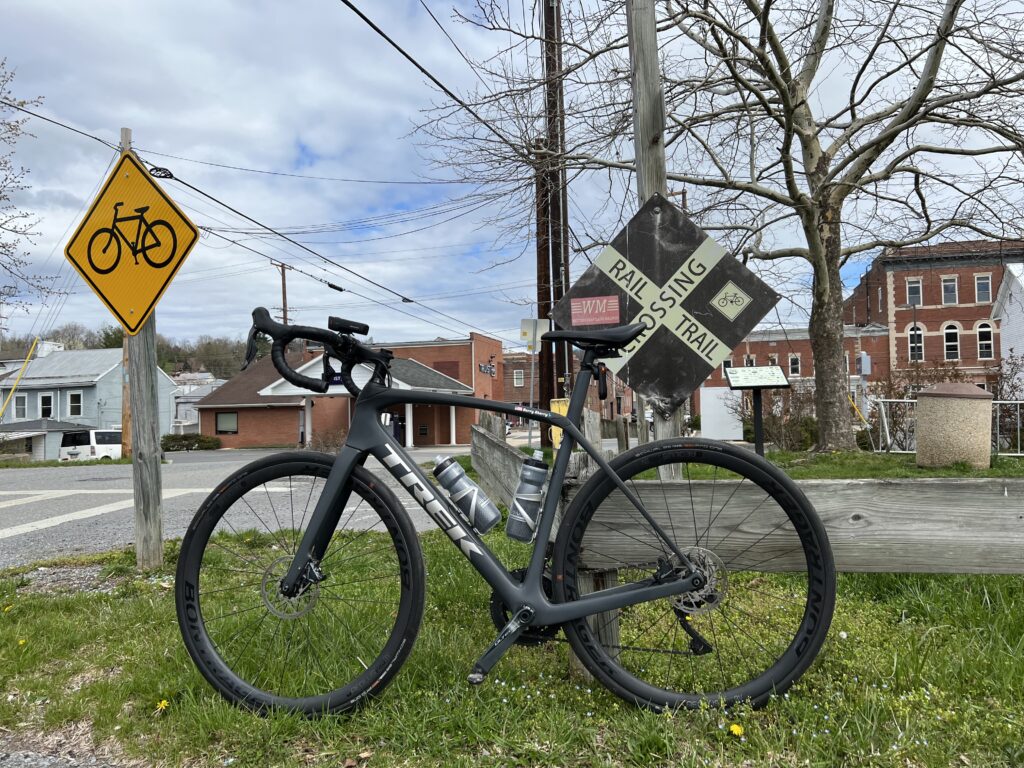
Downtown Thurmont

The original ride was postponed due to weather and the next week I jumped in with the original group. Six of us rode the three-bridge route. I was the only one that had ridden it before and they seemed to appreciate someone with knowledge of the route being along for the ride.

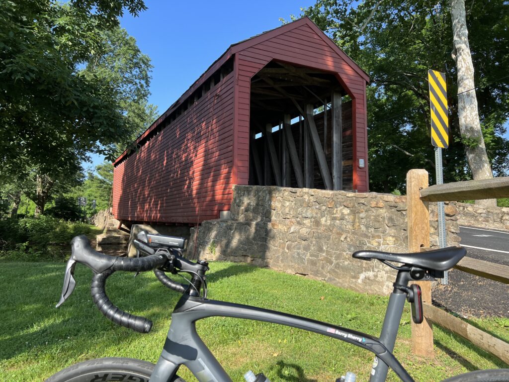
Loys Station Covered Bridge

My own bit of adventure involves finding a route someone else has ridden, downloading it to my Wahoo bike computer, and following the roads. Even more adventuresome is simply mapping out a route and taking my chances.

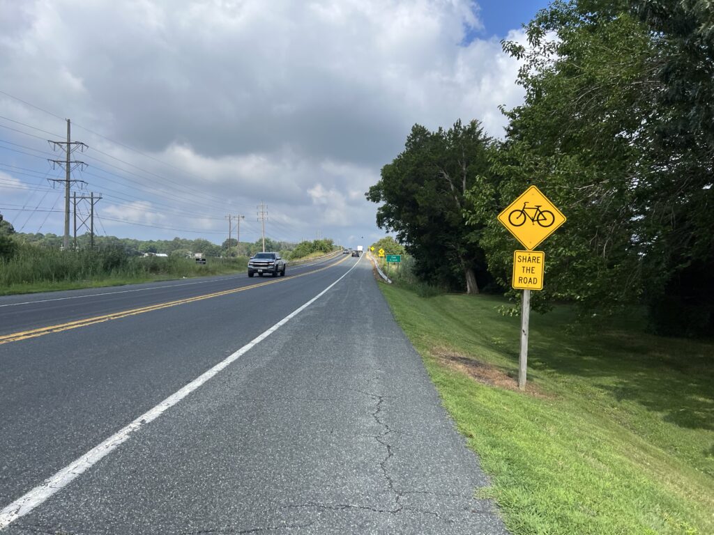
The big problem in this adventure-seeking is one does not know the surface/condition of the roads or the traffic. We try to alleviate this by avoiding major roads and then we cross our fingers and hope the route is good.

Bridge at Simmons Road over Toms Creek

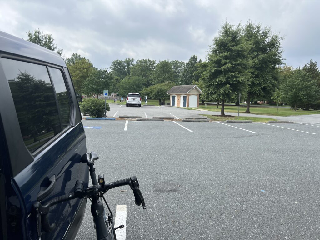
I was coming home from an Ohio trip and made a diversion to Thurmont which is only 12 miles north of Frederick. I parked at the Thurmont Community Park which has restrooms. I was ready to roll out by 8:00 a.m. on a day in which temperatures were to reach the high 90s.

I headed out of town on what are now familiar roads. At 3.5 miles out of town, I had mapped out a left turn on what I learned was a dirt farm road. I kept going past it. No problem. I took the roads I knew to Creagerstown and to the first bridge of my new three-bridge ride, Loys Station Bridge.

Bridge at Simmons Road over Toms Creek

Having been here twice in the last month there was no need to stop for a photo op other than to grab a quick photo. Then it was headed north on new roads.

Toms Creek Church Road

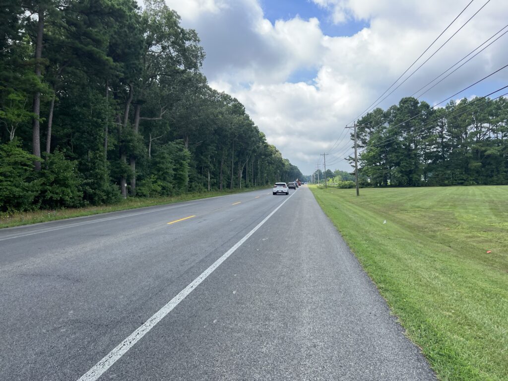
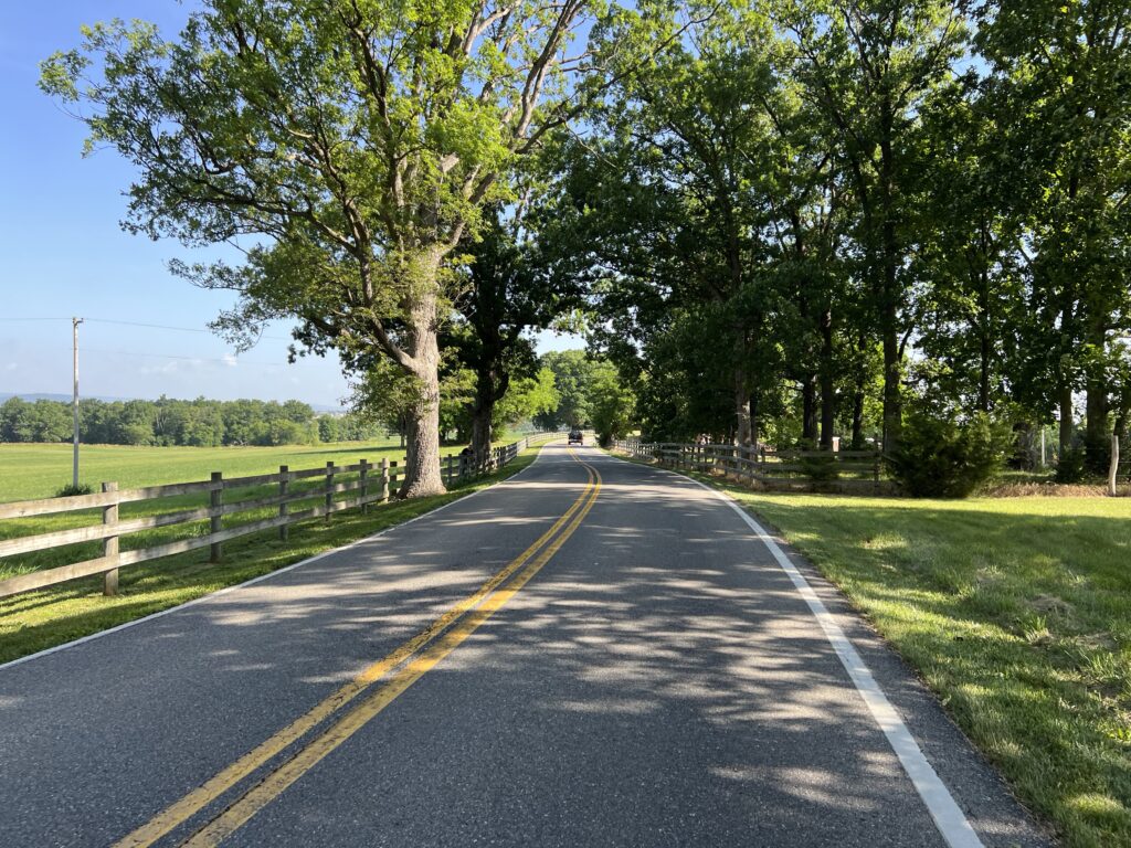
The roads are so nice here. The pavement is mostly excellent and these roads have so little traffic. A guy on a Trek Emonda caught me and we rode together for about two miles. He was headed to the Catoctin Mountains and then back to Frederick. I was headed north. When I told him I was from Virginia and stopped just for a ride he said “I like that. I really like that.”

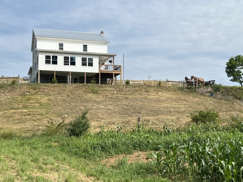
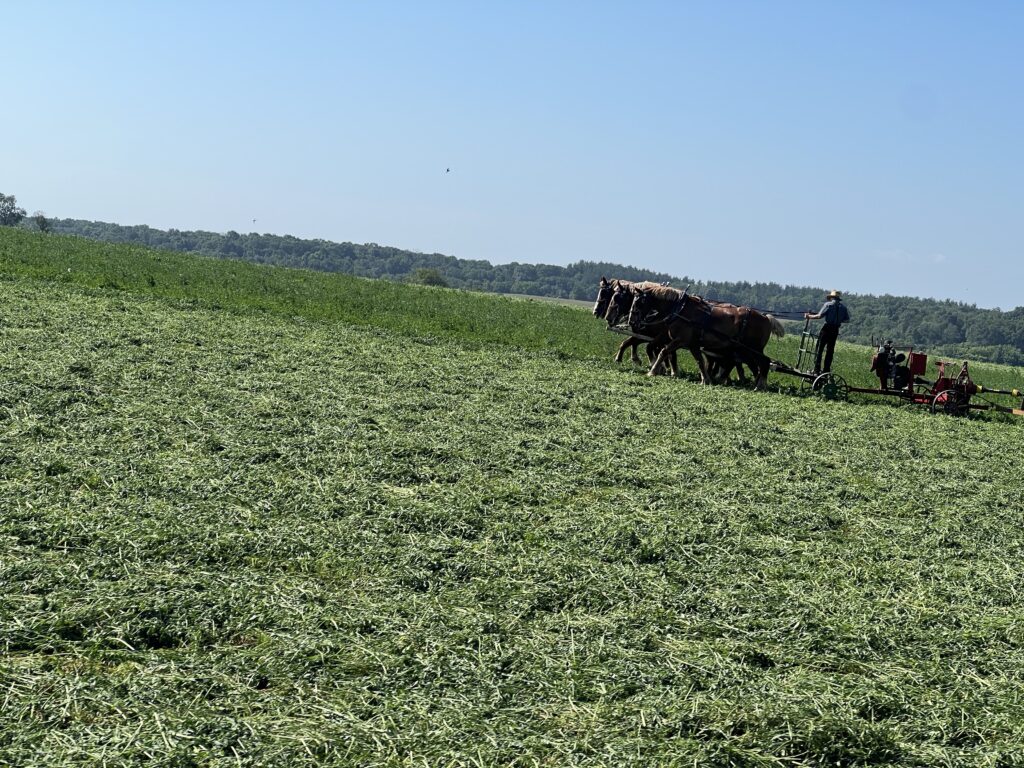
Passing the Amish in no. Frederick Co.

At Simmons Road (MP 15) where it crosses Toms Creek, he said “I bet you turn right up here.” I said, “yep.” I turned and that was the last I saw of him.

Motters Station Road

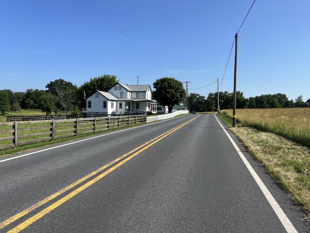
All the roads were great. At MP 21 I crossed into Pennsylvania with no signs. I mean, there wasn’t a “Welcome to Pennsylvania” sign. I saw the pavement had changed and I noticed the first parked cars at a farm with Pennsylvania plates.

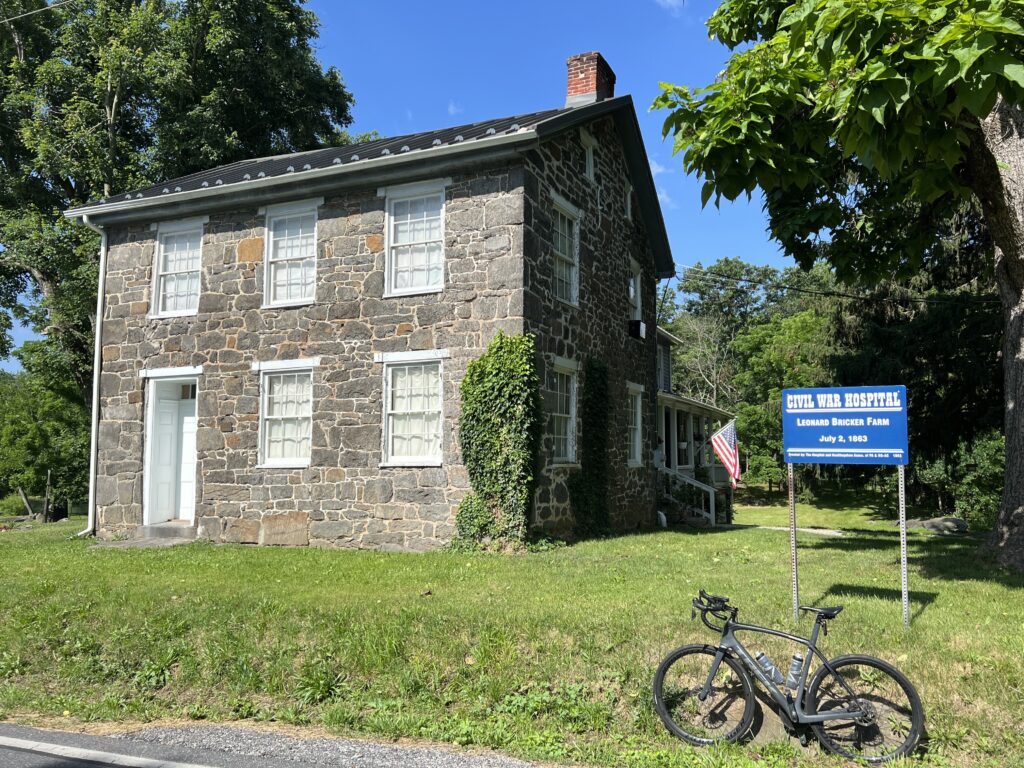
Civil War Hospital, Gettysburg

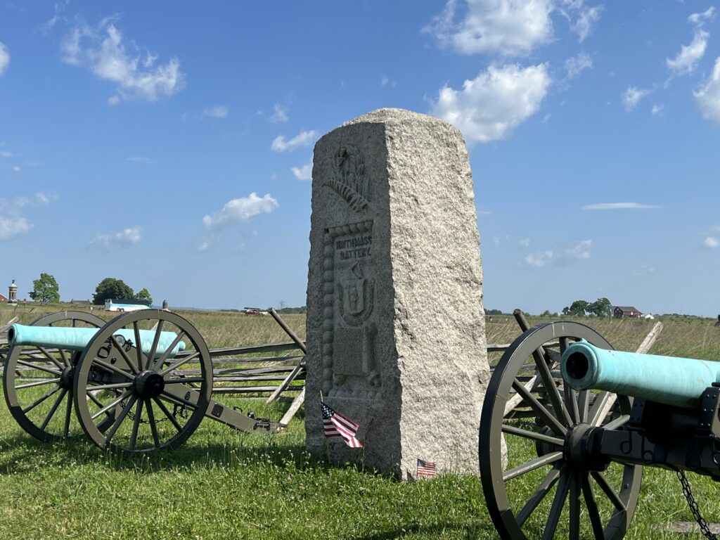
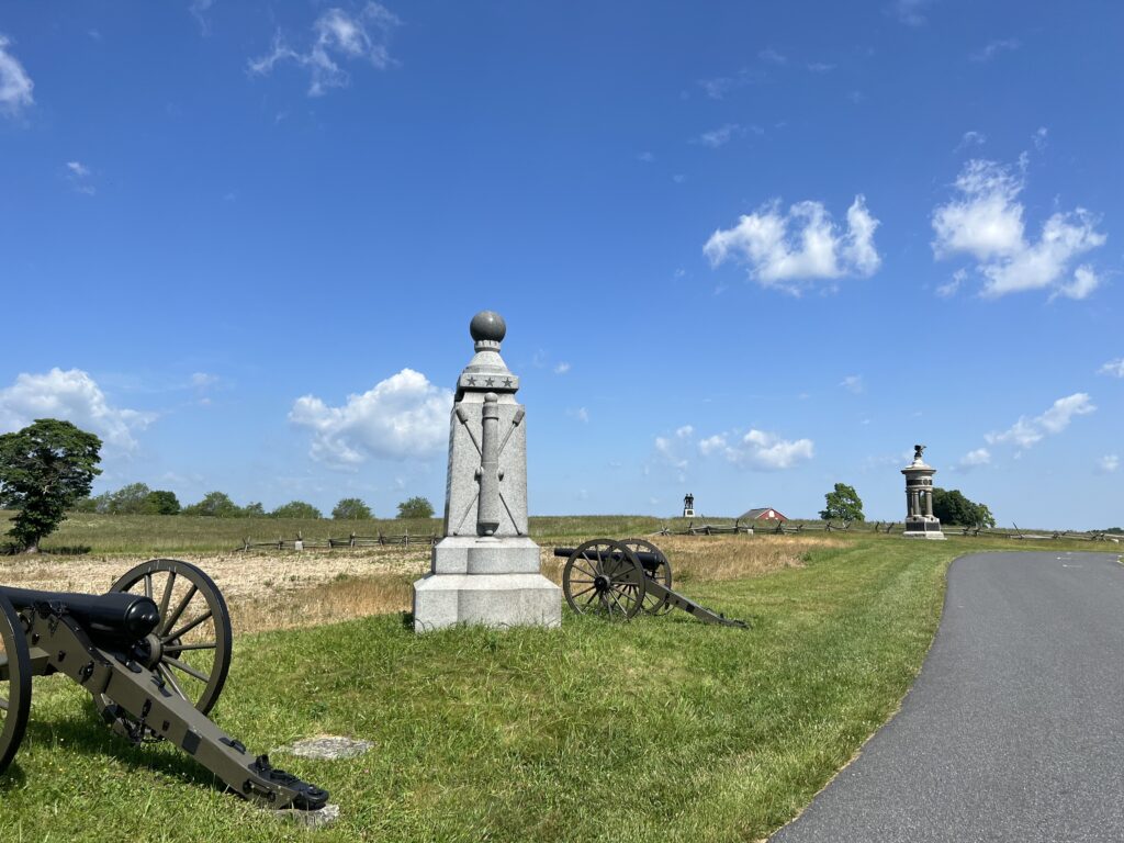
At MP 26 I crossed US Rte 15 via an overpass. The next mile carried slightly heavier traffic into Gettysburg (three miles farther) but I turned off after one mile. I went through part of the hallowed ground that makes up Gettysburg National Military Park.

Gettysburg National Military Park

I was on Millerstown Road. This was a road I had ridden from the opposite direction five times in the Civil War Century. Instead of following the road as it became Pumping Station Road, I turned onto Red Rocks Road followed by Water Works Road.

Gettysburg National Military Park

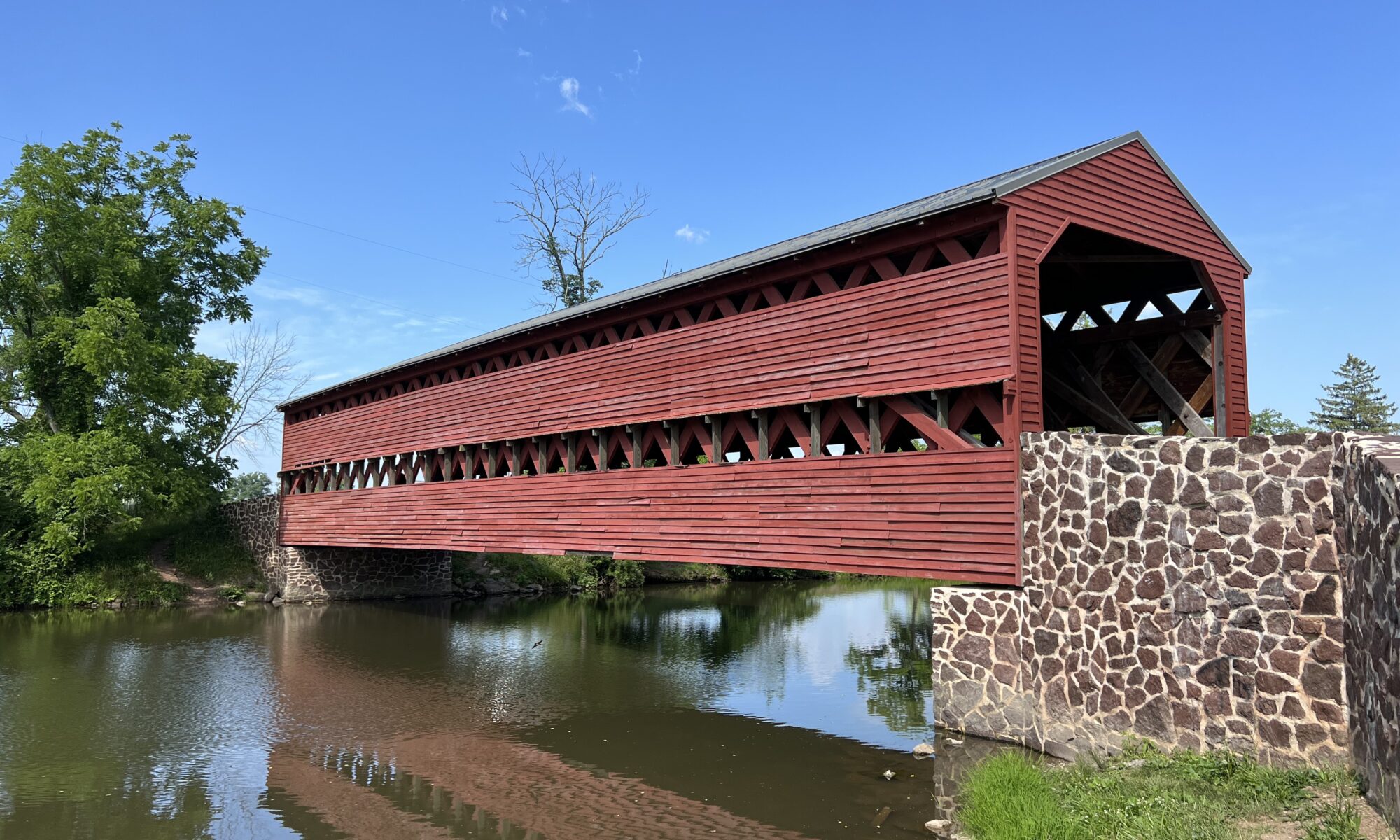
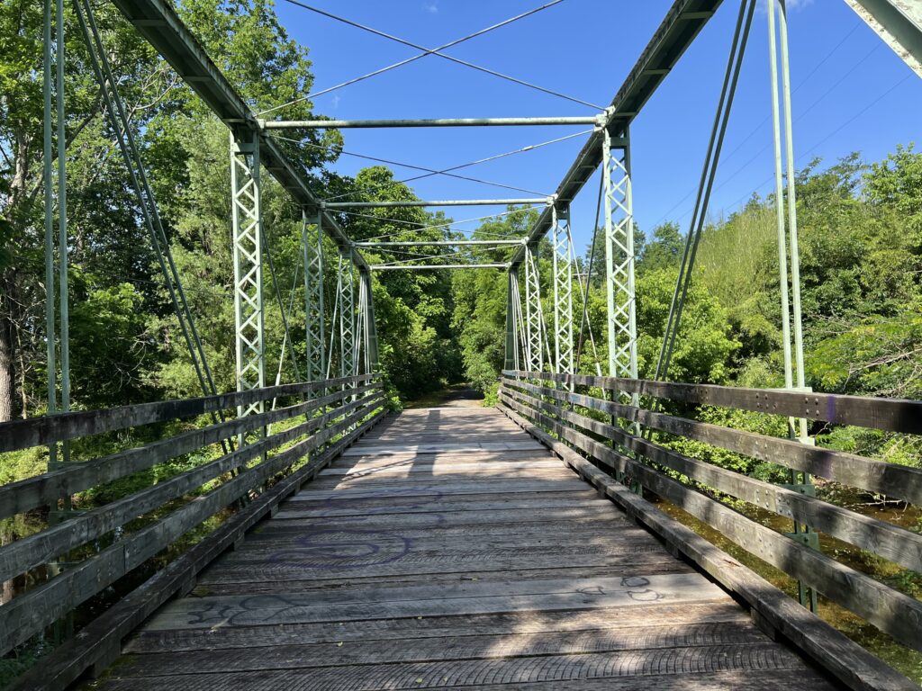
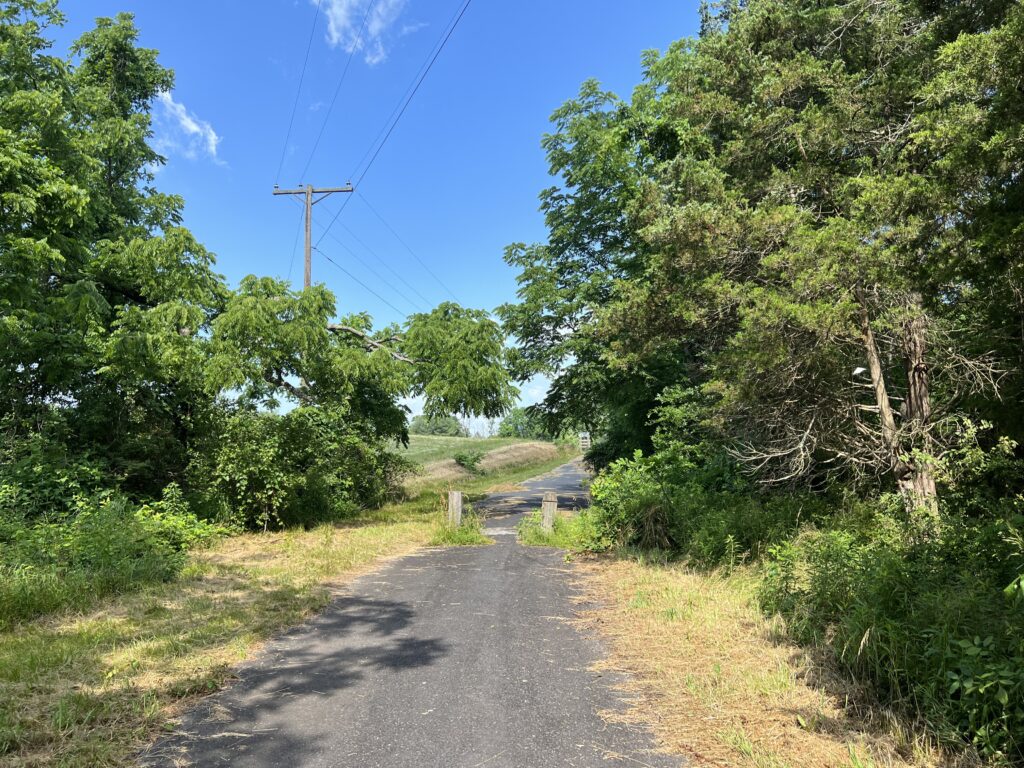
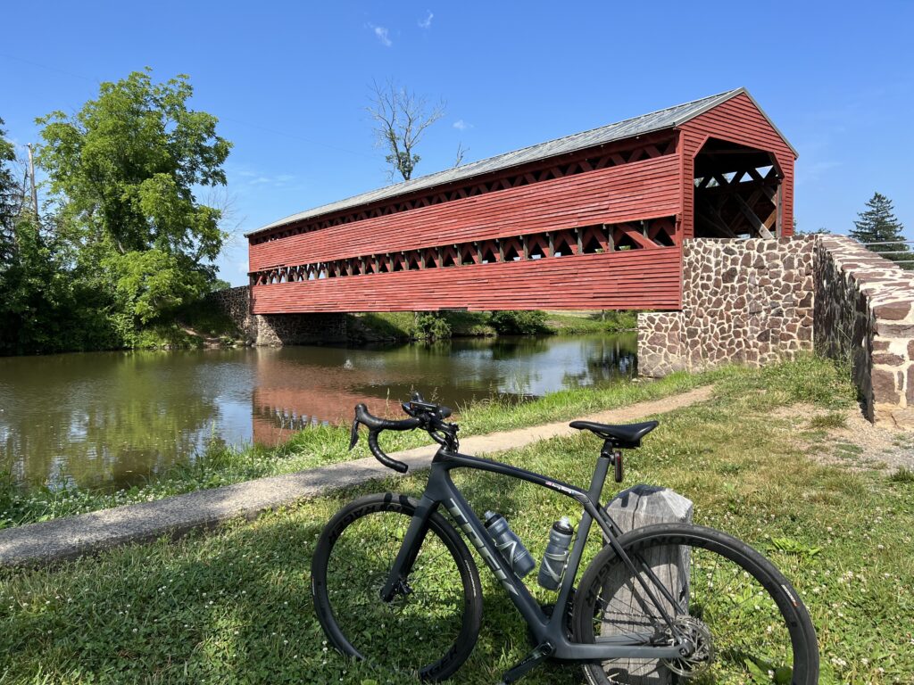
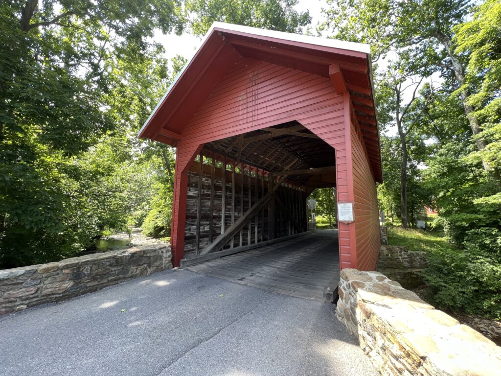
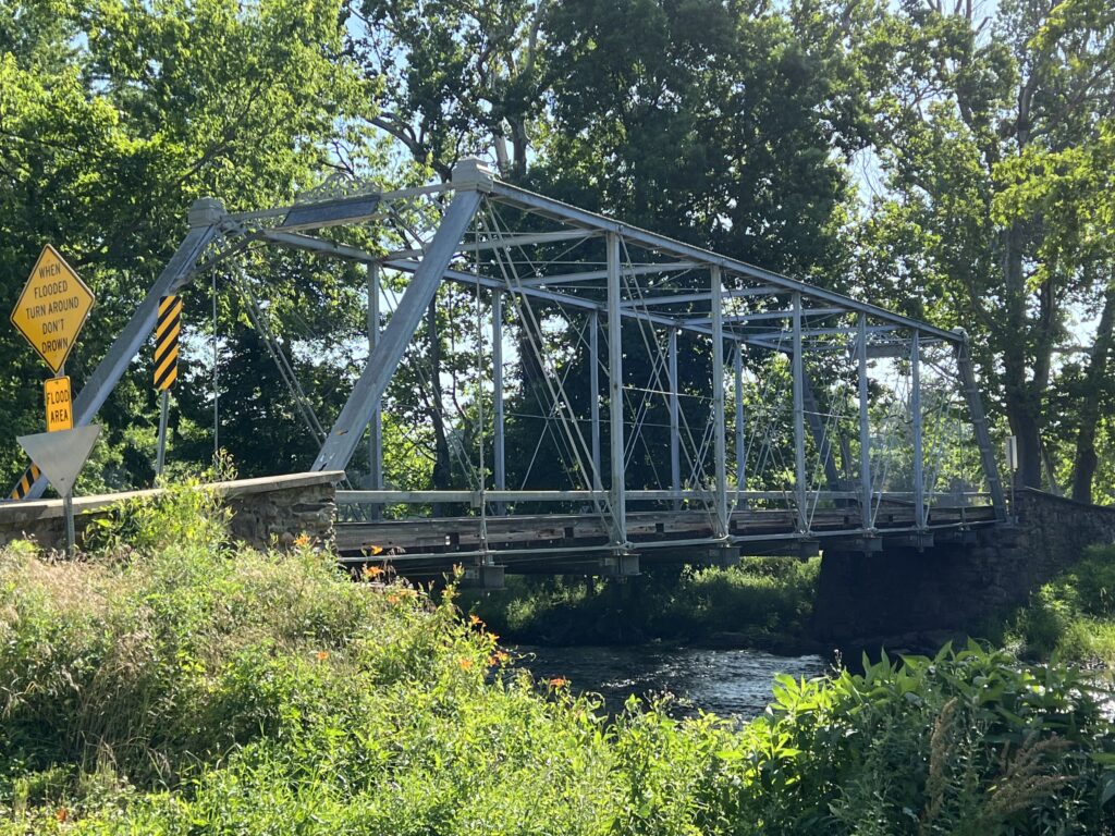
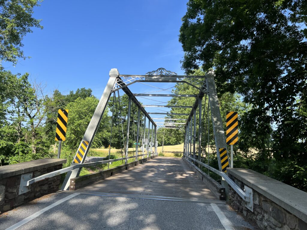
Water Works Road has an old bridge with bollards to keep vehicle traffic off it. I could and did cross on my bike. That took me to the Sachs Covered Bridge. And what a bridge it was.

Waterworks Road

Built in 1852, it is one of the longest bridges in Pennsylvania. It is in great condition (rebuilt after a flood) but only open to foot and bicycle traffic.

Waterworks Road

At MP 30 I was 60% done with my ride but also felt that it was pretty much over. The highest point was yet to come but this was rolling terrain and not mountainous. But each little rise would take its toll in the heat.

Sachs Bridge

The transition back to Maryland was the same as entering Pennsylvania. Pavement change. Different license plates. And that was it.

Emmitsburg, Maryland

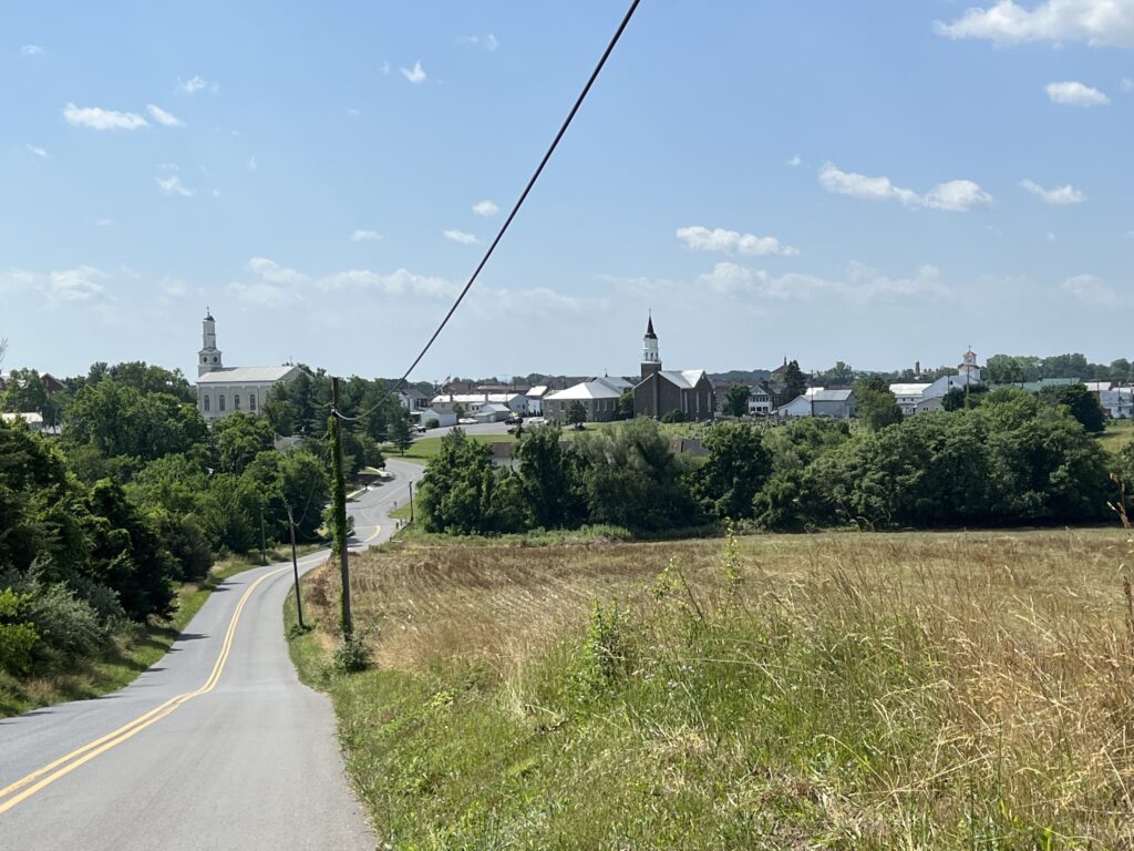
I approached Emmitsburg and for a moment it looked like a scene out of France. A winding road next to a field. Off in the distance, the churches of Emmitsburg formed the skyline. I needed a French croissant.

Emmitsburg, Maryland

Actually, with only 11 miles to go, I needed water. I rolled through downtown looking for a convenience store but didn’t pass any although they have them. I didn’t worry about it because I knew that Roddy Road Bridge had a park.

Roddy Road Covered Bridge

When I got to the park I discovered they had no water. Just a picnic shelter and a port-a-john. Or outhouse. Whatever. It was just 2.5 miles to the car from there. Suck it up.

I got back to the car where I had a cooler packed from my trip. In it was ice-cold water and ice-cold Coke Zero. I was refreshed.


EPILOGUE – I did not research the history of Sachs Bridge before I rode. It is routinely listed as the most or one of the most haunted sites in Gettysburg or among bridges. Three Confederate soldiers were hanged here and are said to frequent the bridge and visitors. Users can do their own search.


The Ride of Silence

WOODBRIDGE, VIRGINIA

It was one week ago that I thought about the upcoming International Ride of Silence. I have attended a couple in Rockville, Maryland, and was at one in Dayton, Ohio. But I thought we should have something in Virginia.

I checked the website and only saw a ride at Radford. Nothing in northern Va. Nothing in Richmond or Roanoke. Nothing in Virginia Beach. Wow.

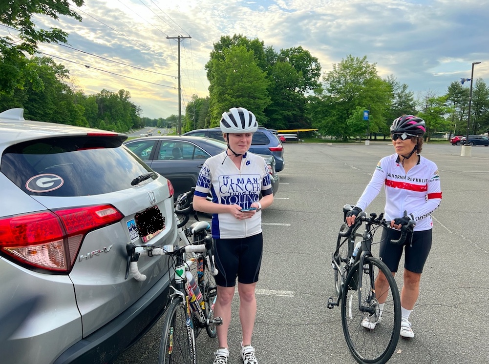
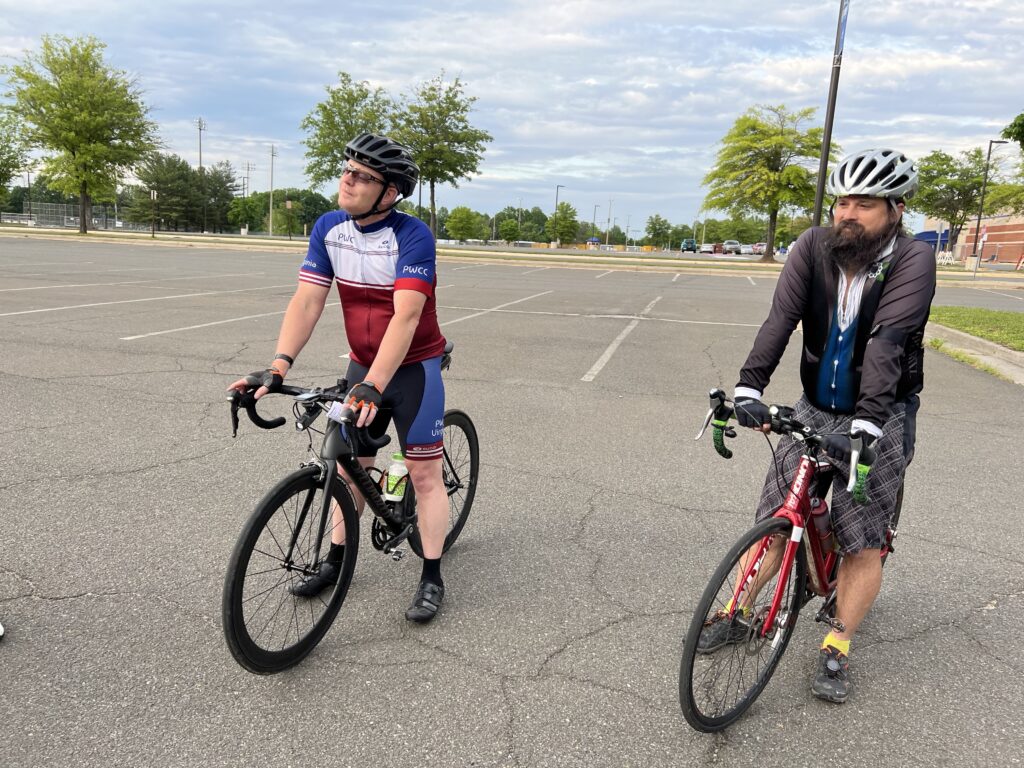
I decided to organize one. With little publicity we had six riders come out to our FIRST Ride of Silence. I wasn’t a novice at organizing rides. Nine years ago I had organized a “Tribute Ride.”

We met at C.D. Hylton High School. I chose this location because it is the site where Joseph James Callahan was killed in September 2013. He was riding on the bike trail in front of the school when a 17-year-old girl drove off the road, struck, and killed him. We rode for Joseph Callahan.

I also bought new flags for his makeshift memorial. The school has let it remain on the property for eight years and I’m afraid without maintenance they may remove it.

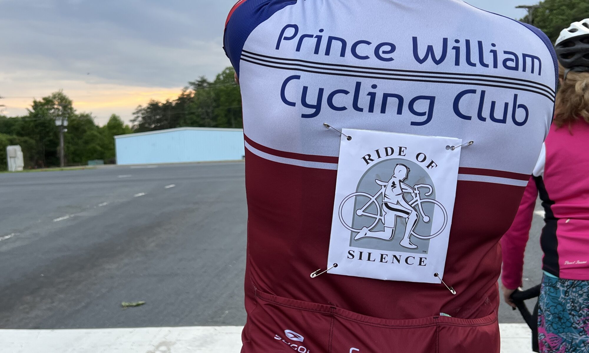
The program was simple. We wore black armbands in honor and memory of those who have lost their lives to drivers. We wore red if we have been struck by a vehicle. Half our riders wore red. Read that again.
I opened the “program” with remarks about the Ride of Silence. I spoke about Joseph Callahan and then about Jamie Roberts. We opened our circle to recognize anybody. Chelsea Johnson led us in The Ride of Silence poem.

Tonight we number many but ride as one
In honor of those not with us,

friends, mothers, fathers, sisters, sons
With helmets on tight and heads down low,
We ride in silence, cautious and slow
The wheels start spinning in the lead pack
But tonight we ride and no one attacks
The dark sunglasses cover our tears

Chelsea was with Jamie when she was killed in Kentucky in 2014. Chelsea spoke about how Jamie lived!

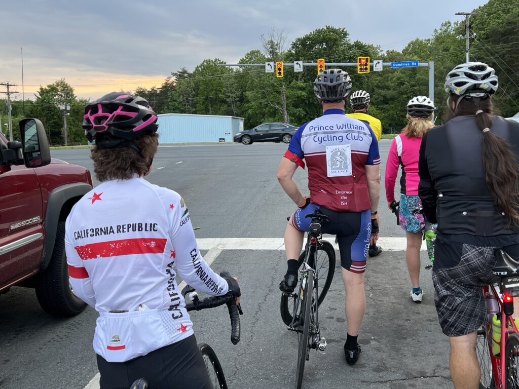
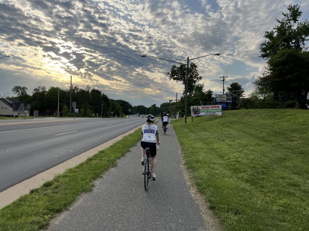
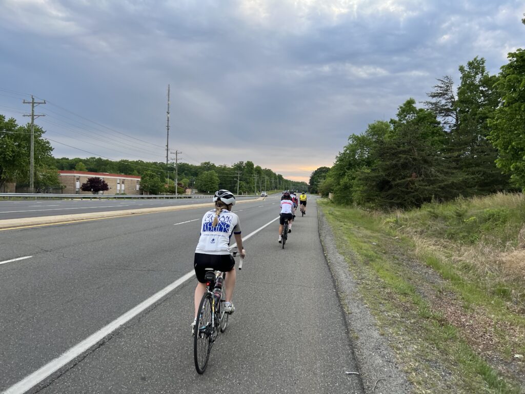
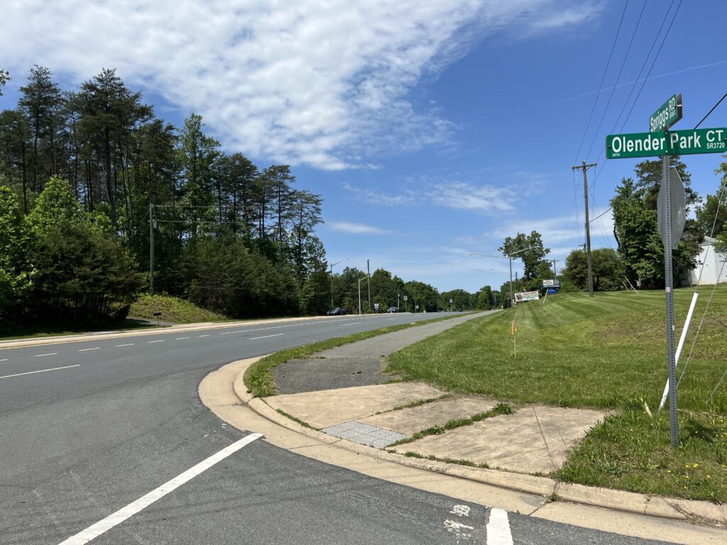
At 7:00 p.m. we rolled out. The route was simple – an 11-mile counterclockwise route of Spriggs Road (bike path), Hoadly Road (shoulder), Dumfries Road (bike path), Minnieville Road (bike path), and back to Spriggs Road.

After the event riders were invited to Armetta’s for a post-ride celebration and reflection. This will be the first and many rides to come.


The Trail or the Street?

It started on Twitter although it has been asked many times. Why do cyclists ride on the road or in the street when there’s a perfectly fine bike trail available? This time it was posed by Mark Kaboly, Senior Writer for The Athletic covering the Pittsburgh Steelers.

This could be an honest question wondering what decision-making goes into the process for a cyclist to choose the road. More likely it was a passive-aggressive shot at cyclists for daring to use the road. And it got the desired responses.

I know better than to engage in a “discussion” (argument) on Twitter but wanted to use the forum to answer the question myself. I don’t know the stretch of road in question but there are plenty of road/trail choices in Virginia I have to make every day.

I remember in 2012 when I rode more than 5,000 miles without a crash or fall over except for one. It was on the bike path on Rte 234 when a small dog on a leash crossed my path. I swerved right into the ditch to miss the dog and its owner. The overcrowding, slow traffic, and unpredictability of trail users add to the dangers one encounters.

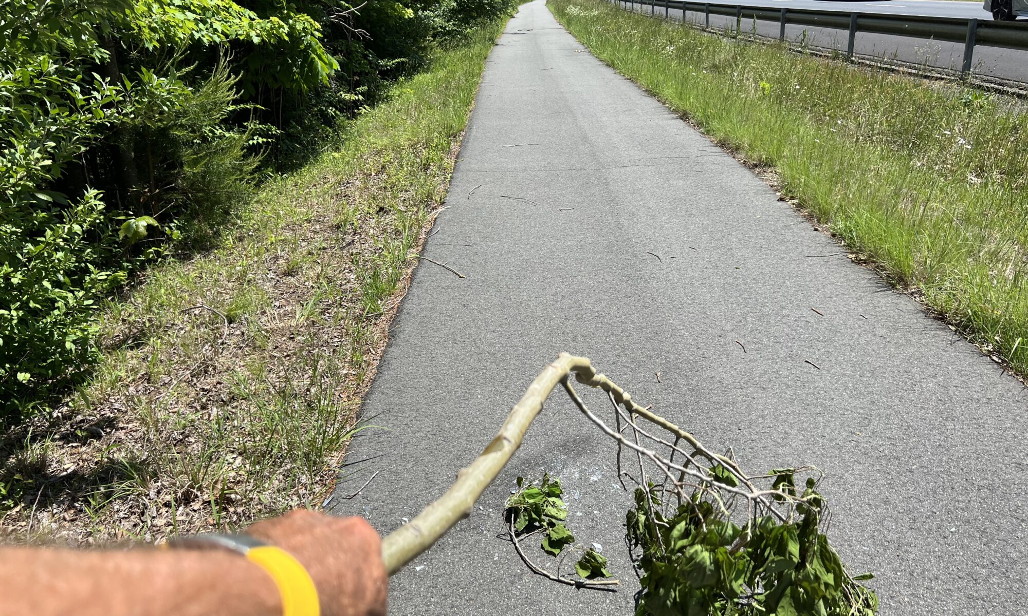
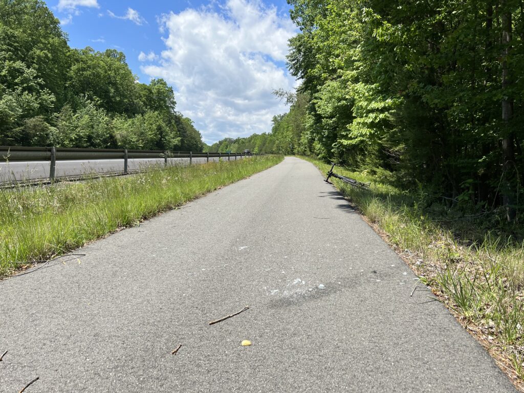
Glass on the PW Pkwy Trail – May 19, 2022
I stopped and “swept” it clean using a downed tree branch with leaves
Thick sand and dirt at the Occoquan Creek on Va. Rte 234 (May 16, 2022)

Tractor-trailer stopped way beyond the line not only blocking the trail crossing but also the ped-head light itself
Crossing Va. Rte 234 at Minnieville Road (May 18, 2022)

Like today, on the trail on Va. Rte 123, I came to the shopping center. A car was coming out just as his light had turned red and the ped-head (for the trail) and the traffic light were green. I inched out watching him. His head was turned hard left to see if he could beat that traffic while making a right turn on red. I was in the intersection and he almost hit me without looking. These trail crossings are very dangerous.

Spriggs Road cutout to the trail
Here one cannot continue in a straight line and only have
a three-foot transition to aim for an 8′-wide path

And that was my response to Mark and just a couple of the responses. To continue reasons why cyclists may not take the trail:

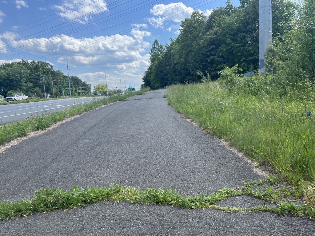
7. Maintenance on the trails is almost non-existent. They build them once and then forget about them Many develop huge cracks, cracks enough to swallow a skinny tire or cause an inexperienced cyclist to crash. In addition, some trails, especially the Mount Vernon Trail south of Alexandria, are so rooted they are almost impossible to ride but that trail sure looks nice when you’re driving by on the George Washington Parkway.

Rte 234 Trail at Independent Hil. Crack. Crack. Crack. Crack (May 18, 2022)

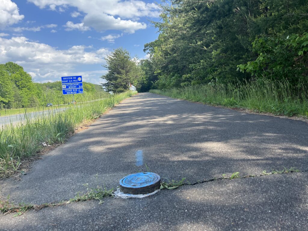
Maybe the most egregious are the sewer pipes that extend above trail level. These can cause a serious accident yet the county merely paints them.

HAZARD! (Rte 234 bike path near the Kelly Leadership Center – May 18, 2022)
I have contacted the PW Co. Supervisor for Coles District about fixing this.

8. Cyclists may want to take the road because it’s faster than a trail. Bikes are transportation and a cyclist may need to get to an appointment on time – just like a driver.

9. A cyclist may be wanting or need the cardio benefits of riding hard and not easy. Worst are the trails on Hilton Head Island which weave around trees and are popular with our little cyclists. But for exercise value, these offer little compared to the street.

10. Strava. Yes, there is worldwide competition to be the fastest in a certain segment between two points. For many segments, the fastest route is on the road.

So there are 10 reasons a cyclist may choose to ride on the trail. Ultimately the decision is up to the cyclist, not a driver.

Near Little Orleans, Maryland on a backcountry road last week there was one car on the road. Behind me. The driver pulled beside me and yelled for me to go ride on the bike trail. What he didn’t know was the Western Maryland Rail Trail ends at the Indigo Tunnel but drivers see an unconnected segment at Little Orleans and assume it is one contiguous trail. It isn’t.
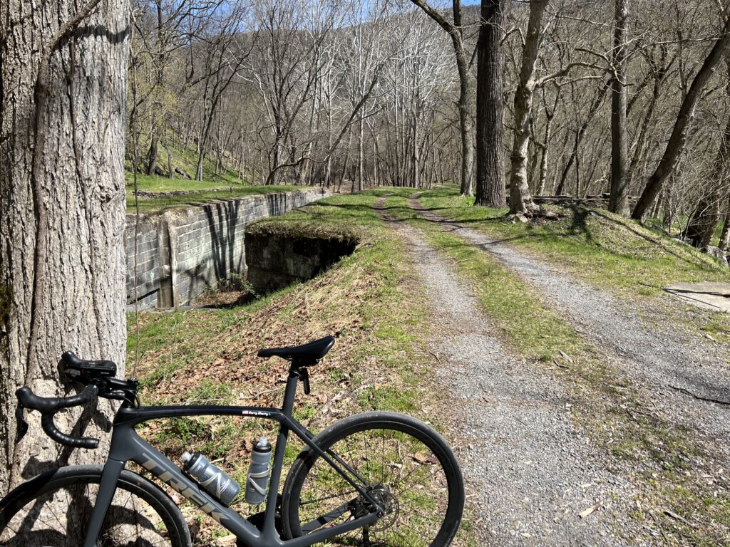
In my mind, I yelled at him to drive on the Interstate. And he told me he has the right to drive where he wants. Exactly. And we have the right to ride where we want (subject to restrictions such as super-highways). But that was in my mind only. We’re just not at the point that drivers understand that cyclists can choose where to ride. Sometimes it is on a trail and sometimes it is on the road even when the trail is available.

Sideling Hill the Hard Way

HANCOCK, MARYLAND

It was 1974 when I first drove National Highway (aka U.S. Rte 40) up and over Sideling Hill. It is a four-mile climb and my little car struggled to go up in 4th gear. Well, it never did. Sometimes third gear and always downshifting to second gear to take the horseshoe curve at the top.

On US 40. Sideling Hill cut for I-68 is in the background (Zoomed)

Interstate-68 was constructed and finished, at least parts, by 1991. It which followed some of old US 40. The most impressive feature on I-68 is the cut in the mountain so the highway could go through a gap instead of crossing all the way over the top.

Crossing the Western Maryland Rail Trail, Hancock, Maryland

There are only a handful of crossings over this ridge. One of those in Pennsylvania near Breezewwod is now the Abandoned Turnpike. The tunnel is one that I have ridden through probably a dozen or so times.

Old U.S. 40. The cut in Sideline Hill for I-68 is far off in the distance.

But today would be about the climb. I parked at the C&O Canal parking lot in Hancock. I began with a short climb and the first four miles of the profile looked like sharks’ teeth. At Mile 4 the climb began.

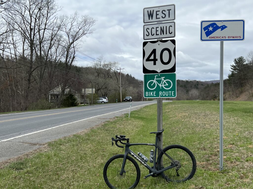
Old. U.S. 40 (now Scenic 40)

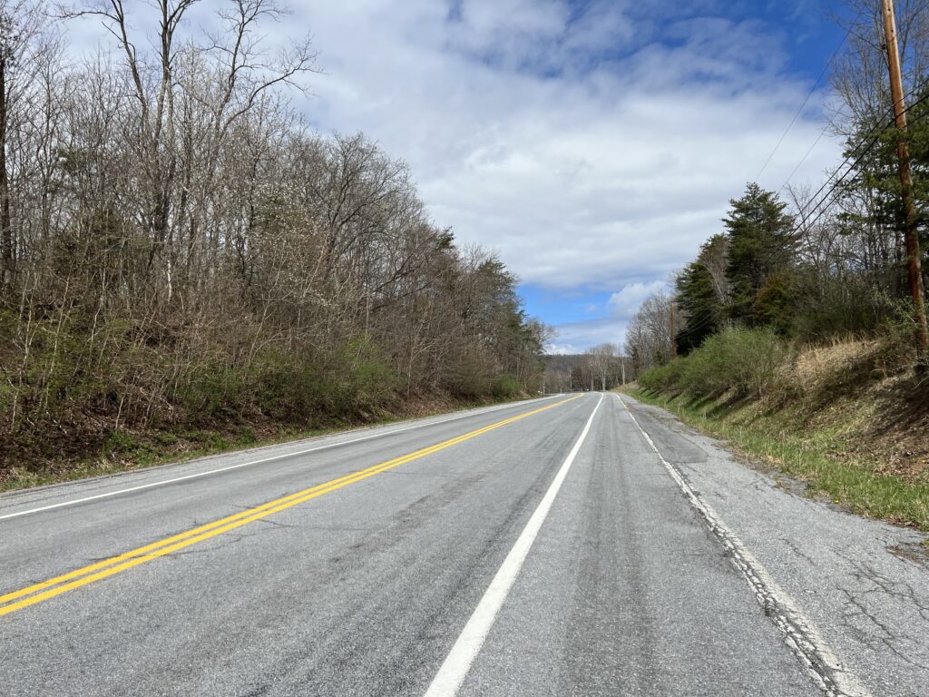
Although the speed limit was 55 (or was it 50?) mph the very few cars all gave me wide berth. Or often it wasn’t necessary as there was a wide shoulder I could use although it still had some winter dirt in the lane.

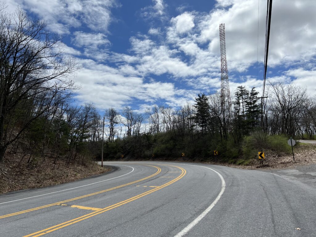
The climb on Scenic U.S. 40

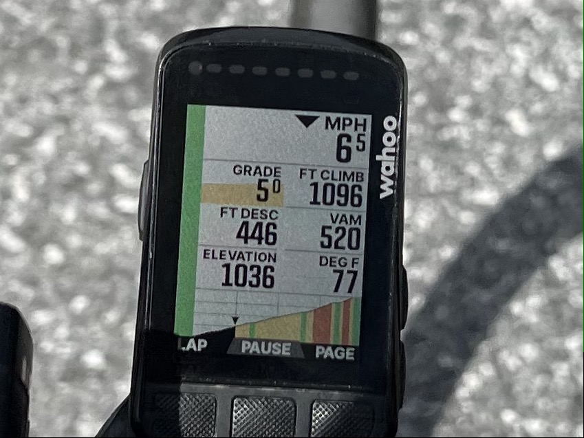
This was my first real use of the new display of my Wahoo. As it displayed the profile of the climb each section was color-coded as to grade. That was pretty cool.

Wahoo display of the gradient ahead. The graph segments are 1/4 miles (400m).

I didn’t race up the climb but kept a steady pace. I concentrated on remaining seated as I often pop out of the saddle more than most cyclists. I would say this was relatively easy. I also left room for improvement if I would do this again.

The top of Sideling Hill

Once over the top and a quick stop at the scenic overlook, I began the descent and squeezed the brakes. It was windy, the road, while straight, wasn’t smooth, and there was a sharp turn-off just one mile down the mountain. Once on McFarland Road, I needed to squeeze the brakes a bit tighter. The road was steeper, 10% in many parts, and technical (lots of curves).

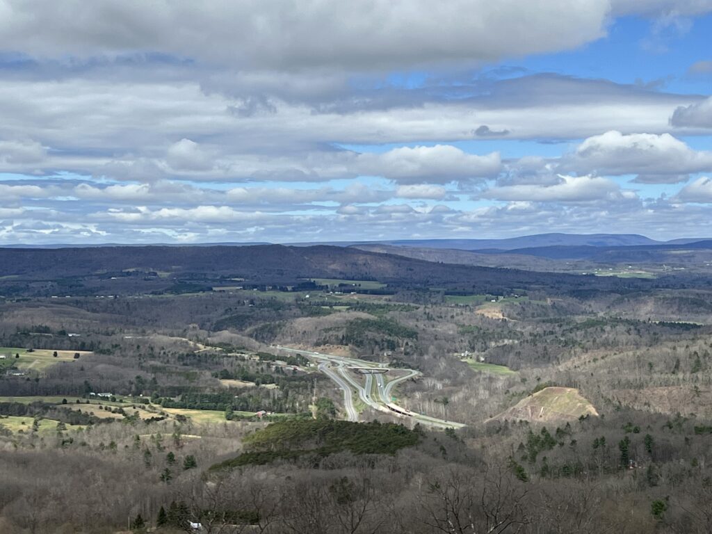
View from top of Siedling Hill, Scenic U.S. 40, looking was towards I-68.
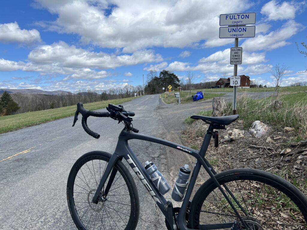
I had mapped out a Pennsylvania portion and followed High Germany Road. It was only two miles to the state line but it was more climbing to the Mason-Dixon Line. The border was not marked other than by a Fulton County sign.
Mason-Dixon line. Really.

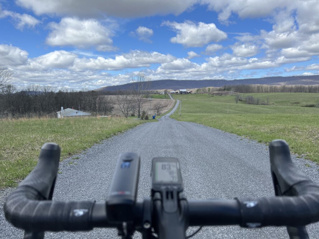
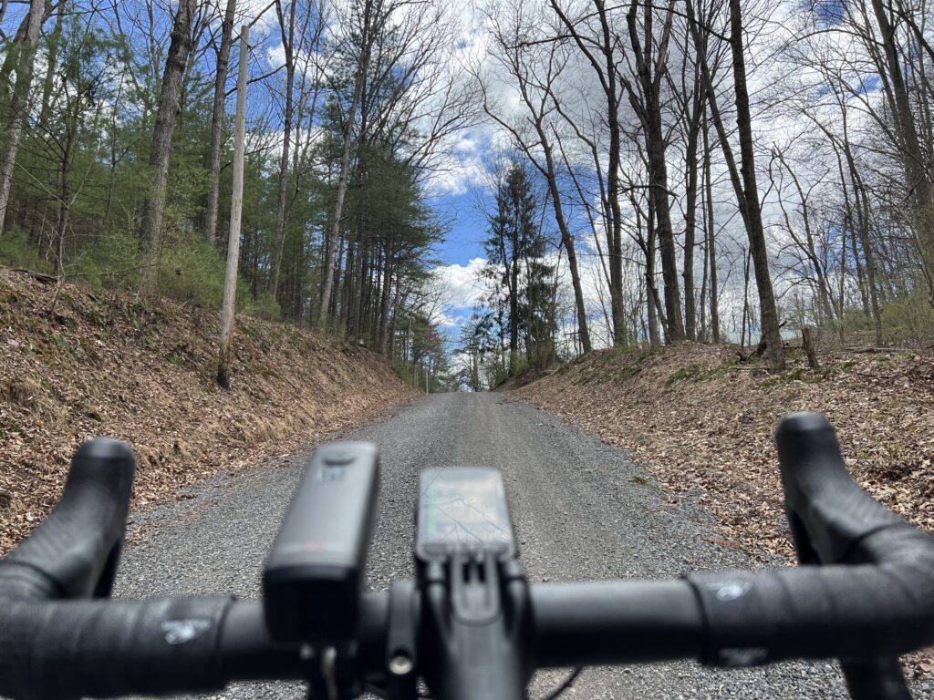
I turned onto a gravel country road which was okay because I expected some gravel. I did not know this road was not it. A review of the map shows this wasn’t supposed to be gravel. It should have been paved (according to the map).

High Germany Road

And then things started to unravel. I followed Buck Valley Road and my computer indicated to bear left which was a gravel road. I chose to stay on pavement until Wahoo was determined for me to make a hard left up a gravel road.

It’s gravel and it’s pretty.

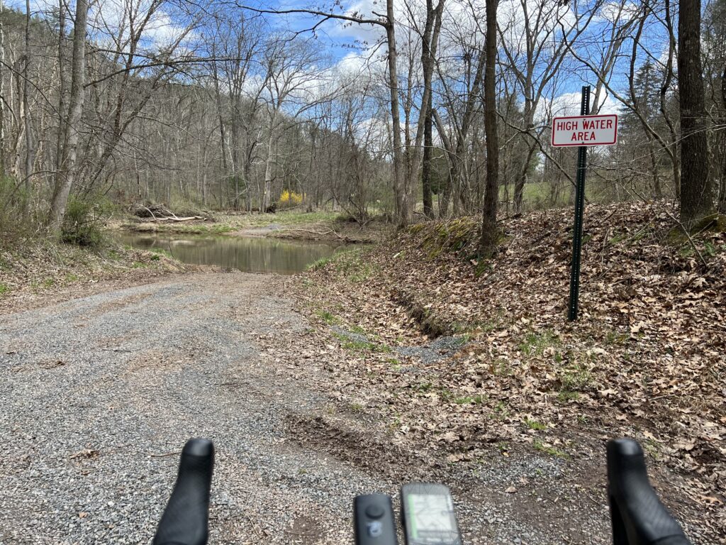
It was sketchy and I was going deeper into the woods. I came to Sideling Hill Creek and there was no bridge. No crossing. Wahoo wanted me to follow a hunting trail but I turned around.

I was a little bit lost and a little bit scared. I was out of food and my water was low. I hoped for a cell signal enough to find a map and was able to get one. I could see the route I needed to get me to Orleans.

The road ends here. Literally.

When I came to the climb to Town Hill I decided to forgo it. Wahoo said my next turn, here, was in three miles so I knew the climb was 1.5 miles. My legs didn’t have it. I was beat up from 3500’ of gain in 25 miles. Since it was an up and back, or up and down, I decided to skip it and head back to Hancock.

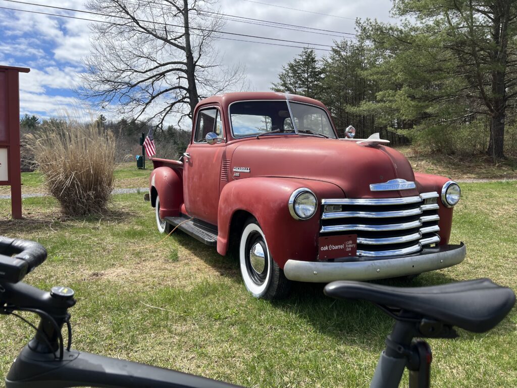
At the Oak Barrell Cafe and Deli, Little Orleans, Md. (Right off I-68)

The Orleans Road was delightful. It was six miles but I don’t remember any traffic. The first three miles were rollers followed by a delightful three-mile downhill. It was probably a 4-5% downhill – not too fast where I needed to touch the brakes. It was the most enjoyable part of the ride.

Orleans Road

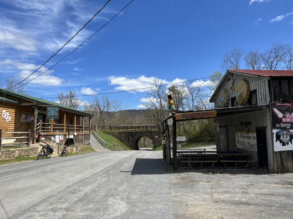
I came to Orleans and passed Bill’s place. I recognized it from my Pittsburgh to D.C. trip in 2004. I had planned my day on stopping here for lunch and I picked the week he took his summer fishing vacation. And it was closed. Today there were two cyclists here, outside. It may have been closed today too although more likely they were just milling around before leaving.

Bill’s Place, Little Orleans, Md.

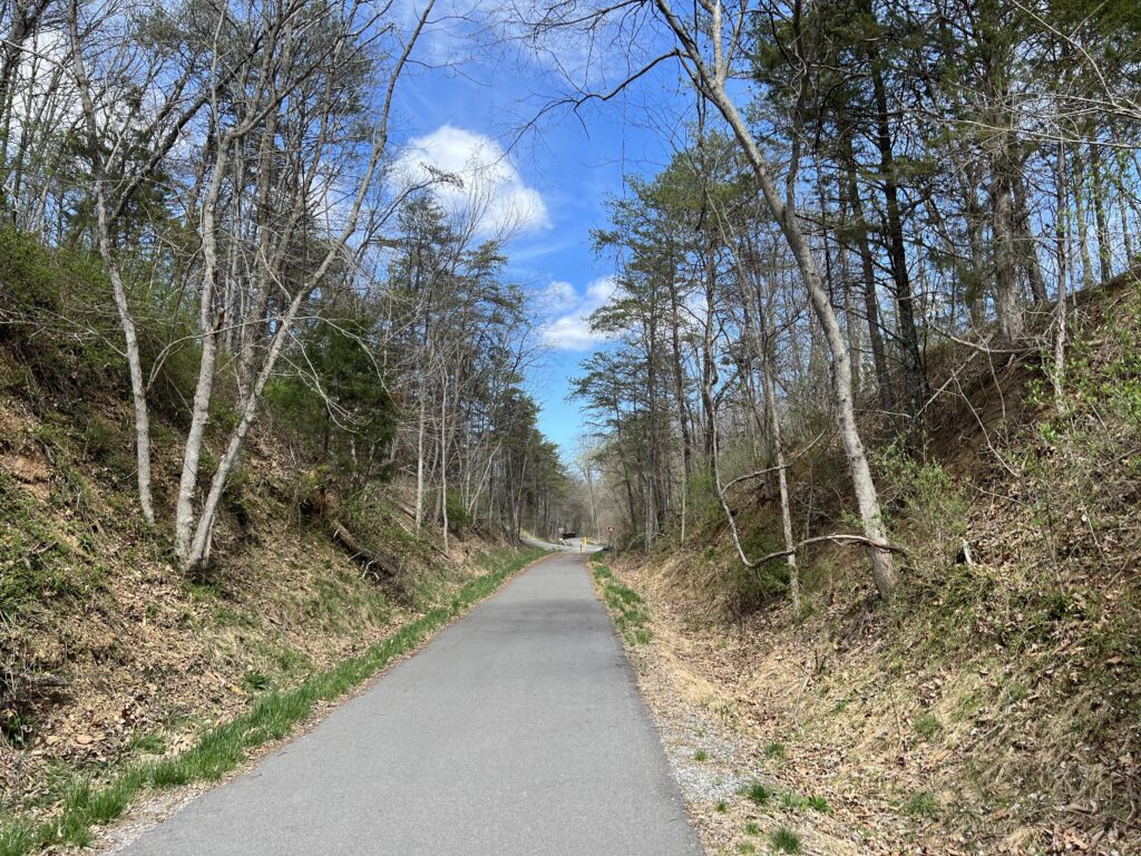
I had mapped to follow New Germany Road and the one-mile climb away from the Potomac River did not look very appealing compared to the alternative. The alternative was the smooth-as-silk Western Maryland Rail Trail extension. I hadn’t been this far and hoped that I would have 18 miles of paved trail back to Hancock.

Western Maryland Rail Trail

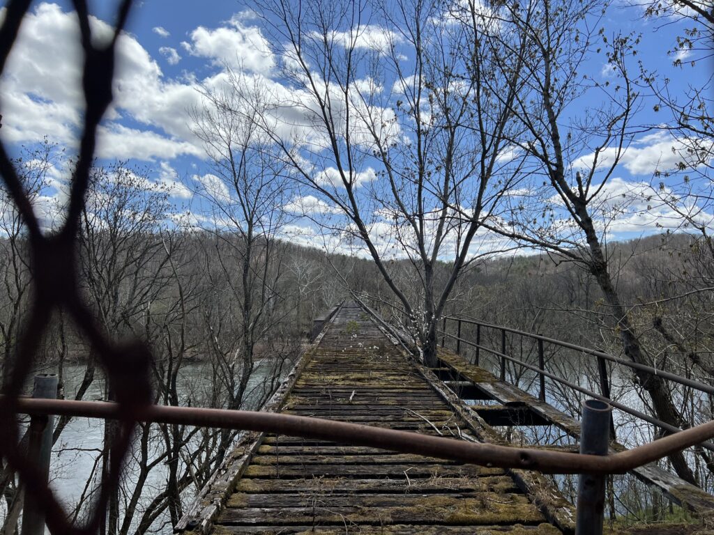
I jumped on the trail and went the wrong way. Not crazy. I just wanted to see how far it would go in the opposite direction. Not far was the answer. It was less than a mile (0.8) when it came to the Potomac River. There is a beautiful bridge here waiting to be converted to trail use but it looks like it might remain closed forever. Apparently, West Virginia, on the other side of the bridge, is not real thrilled about spending money expanding the trail into the Mountain State.

The end of the line – Potomac River, Little Orleans, Md.

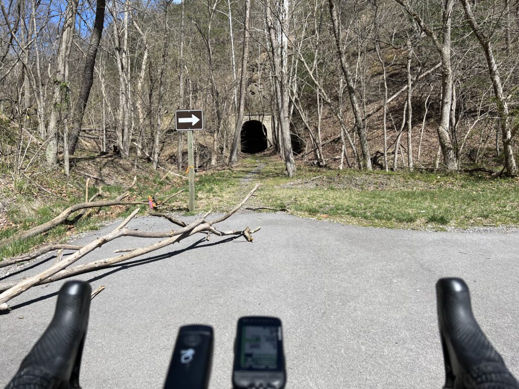
After turning around I followed the trail a mile and a half where it ended at the Indigo Tunnel. A ramp takes users down to the C&O Canal Towpath where one must ride a little more than two miles to pick up the rail trail again.

Indigo Tunnel

Paving the trail and opening it through the tunnel seems like a simple proposition. Except there is a colony of endangered bats that live in the tunnel. So for now the bats win and that’s okay with me.

C&O Canal

Except that I was riding a road bike today and the towpath is the towpath. Suggestion to the National Park Service. How about paving the two miles of the twopath so the users of the rail trail will have a paved trail the entire way?

A bike-kayak-everything rental on the WMRT

One back on the trail it was familiar territory. When I first started riding this trail the eastern portion was very rooted. This is from Hancock (MP 10) to Big Pool (MP 0). That was the first section completed. The western section, up to MP 22, was newer and the tree roots had not started peeking through the surface of the trail. That has changed in the last few years and today it was very rooted, especially near MP 20.

A look from the western side of Sideling Hill

But it was sure nice to have almost 30 miles of flat after all the climbing. The legs were sore but I avoided any mechanicals or crashes. Life is good!


IF I do this ride again. Pennsylvania is still doable but must stick to all pavement. Skip Schultz road by staying on High Germany Road to Harmonia Road. That probably would add 1.5 miles. Then stay on Buck Valley Road. There are no gravel shortcuts here. Lastly, make the climb to Town Hill B&B for the best views around. And take High Germany Road out of Little Orleans. It is a one-mile climb but followed by great downhills before merging back with the WMRT. It also avoids riding on the canal.


Alligator Alley

SHARK VALLEY, EVERGLADES NATIONAL PARK

I enjoyed this ride so much last year I wanted to do it again. And this time I invited, Margaret, one of our Roosters Racing, Inc. team to come and join me as well.

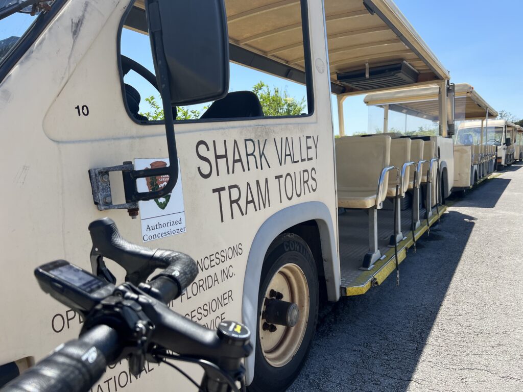
Shark Valley Tram

In the Everglades, we headed off on the tram trail. I thought that this wasn’t the best season to see alligators but we would make this work. Actually, it was a great time.

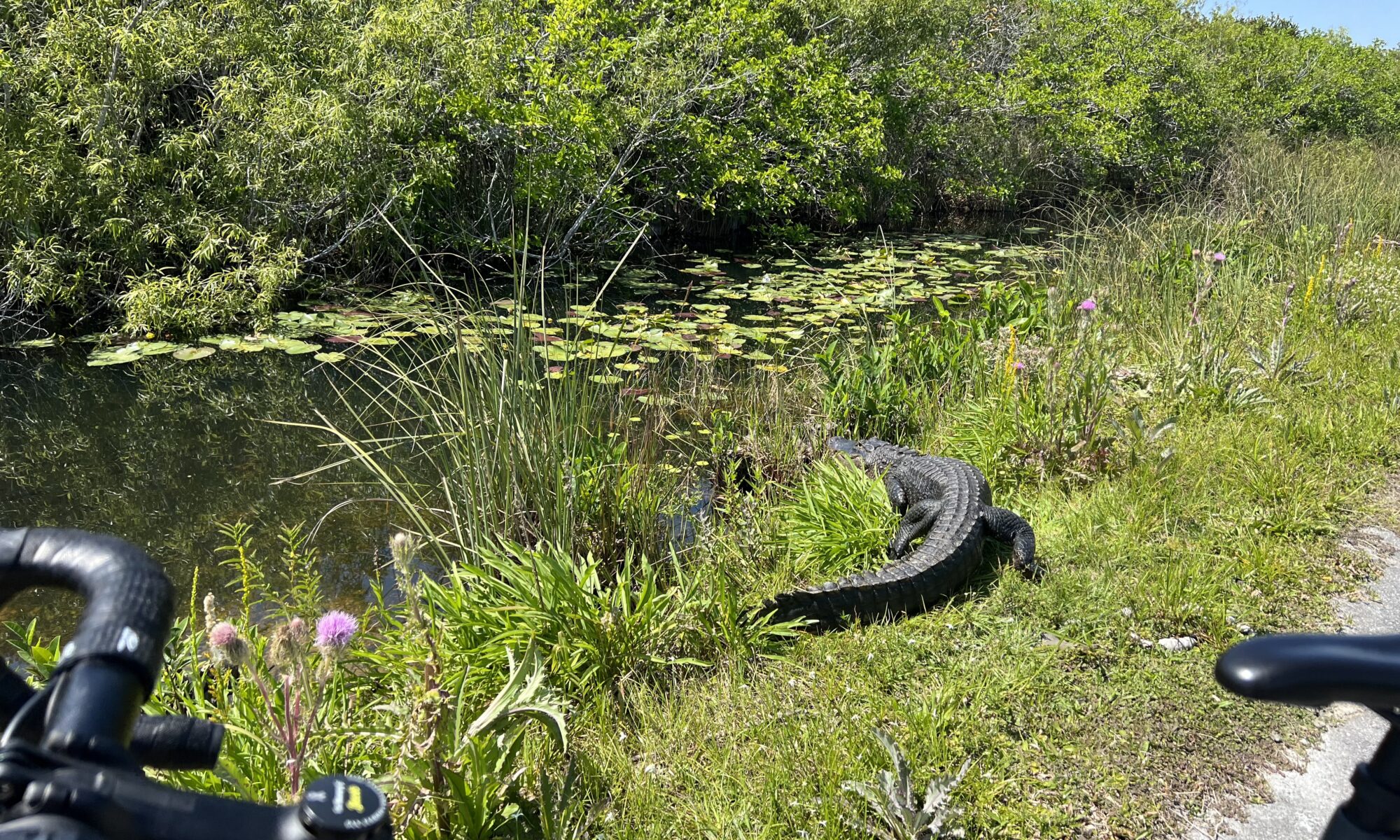
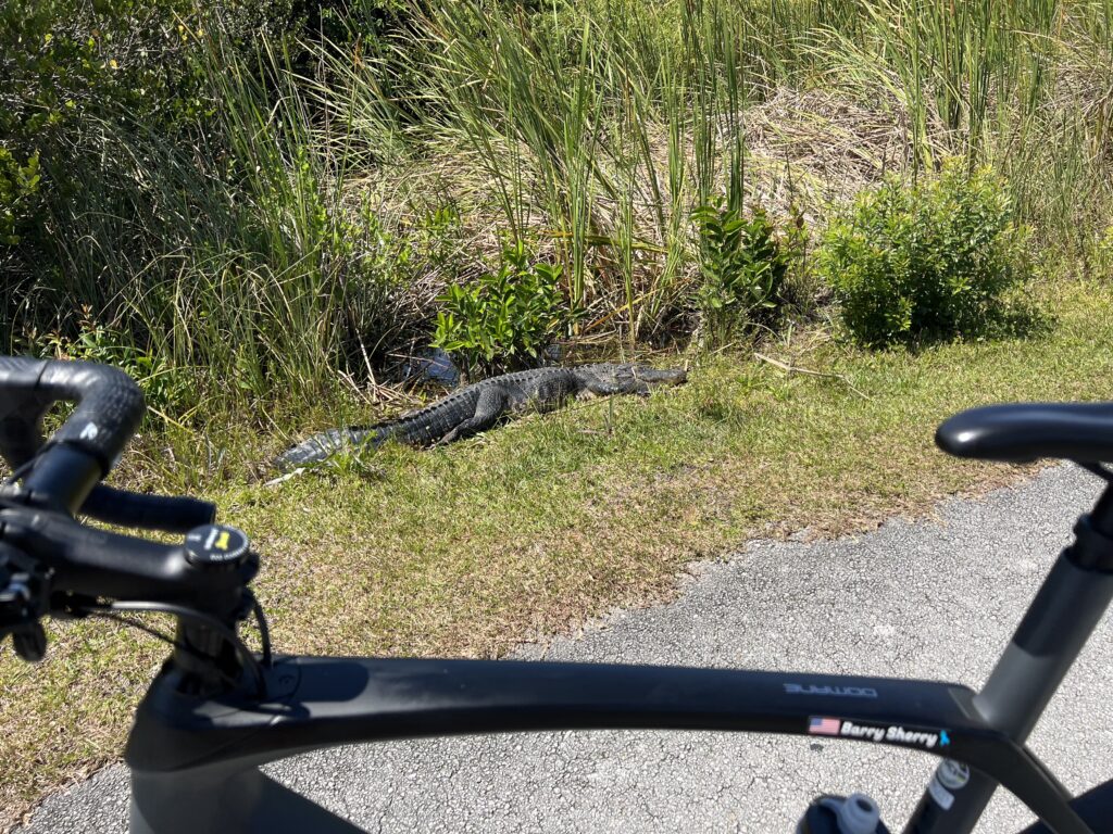
My first alligator of the day

I misremembered when I was here last. It was March 2021. In other words, the same time as I rode last year by two weeks. That wouldn’t make much of a difference.

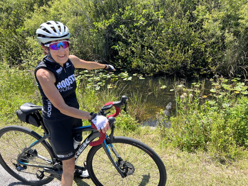
This is as close as Margaret would get

I thought that I rode earlier in the day last year but a check of the GPS file shows I started about the same time on both rides (1:00-1:30 p.m.).

Last year there were some alligators on the side of the trail. This year it seemed they were all hiding. But in the end, it was probably about the same as last year. In reading this is probably the best time of the year. It is still dry season and not overly hot. In the summer the gators are more submerged as they try to escape the hear.

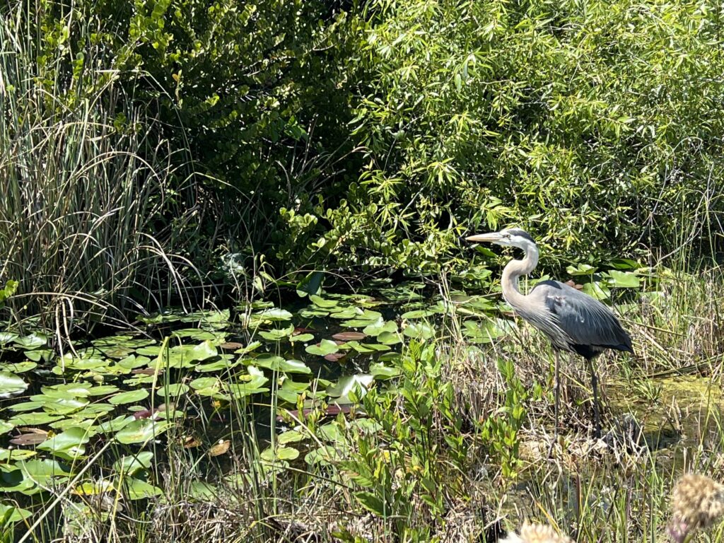
Blue heron

I love this ride. The key is to not go too fast. Slow down and enjoy the roses. Or alligators. I probably saw 15-20 alligators.

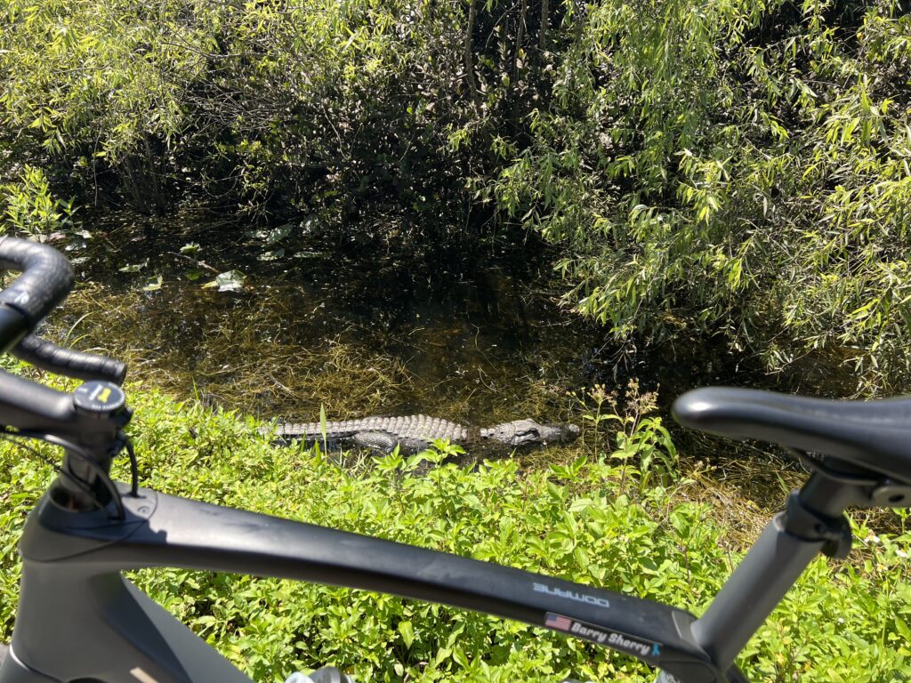
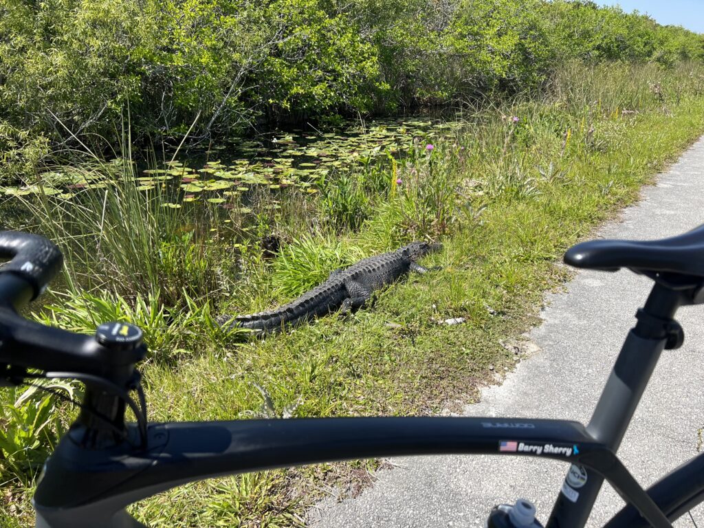
Another gator

We rode and I called out “gator!” I don’t think Margaret was thrilled about seeing them. At least I can say for sure she wasn’t as thrilled as I was about seeing them. I loved seeing the gators.

Leave me alone

The ride is a 15-mile loop. Both years I rode in a counter-clockwise direction. Most of the gators can be seen on the portion going out to the observation tower and not much coming back.

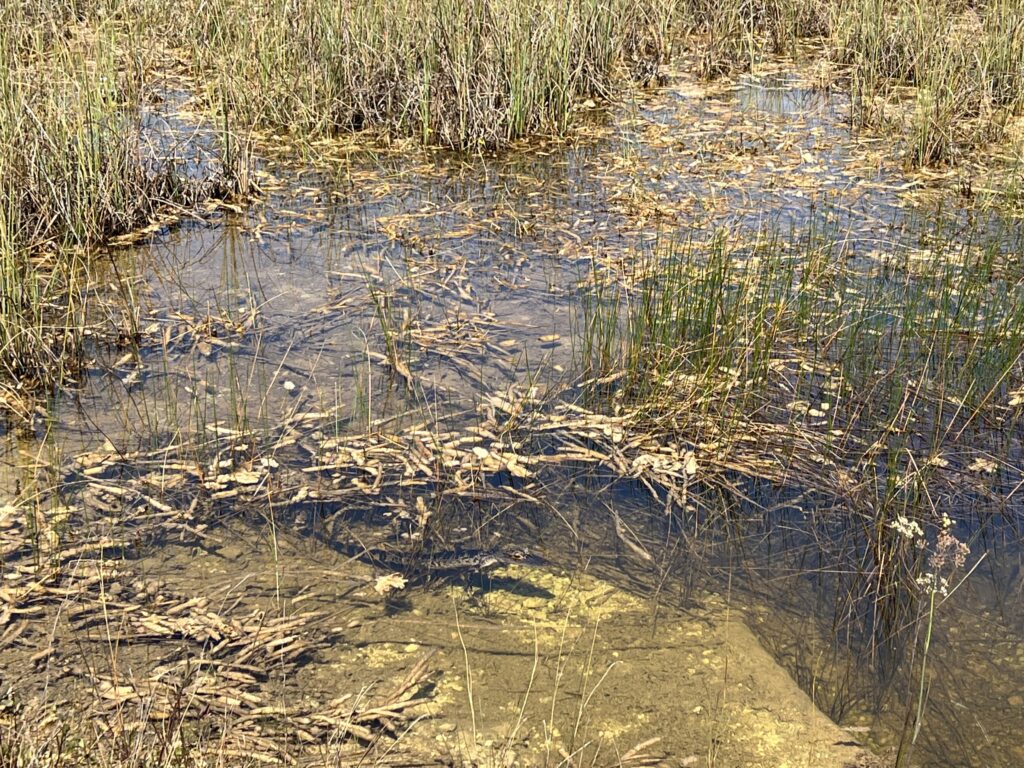
Baby alligator (bottom center)

I enjoy this ride so much. Will I do it again? I hope so.


Party Bus

TAMPA, FLORIDA

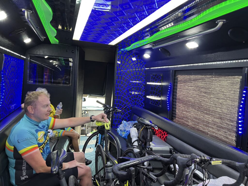
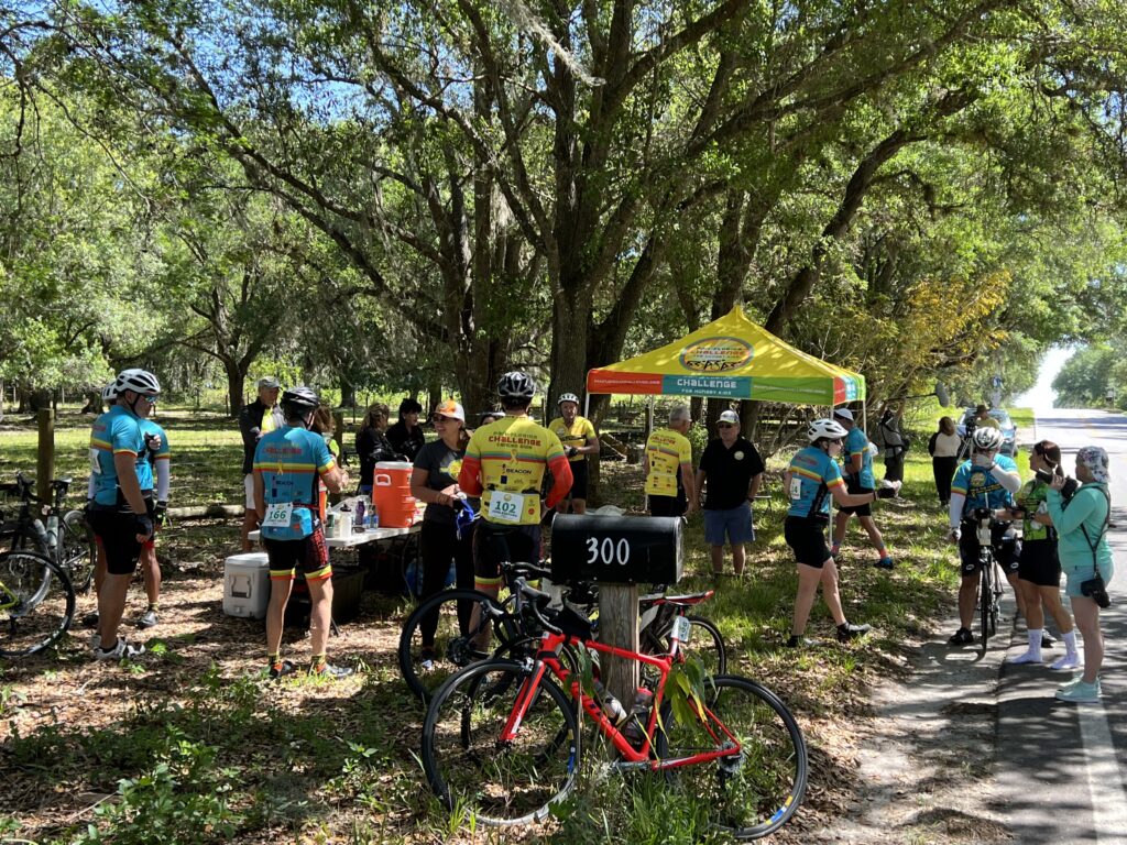
About to board a party bus for the 2.5-hour trip from Tampa to Fort Myers. There are six of us on the bus. The others, there were about 35 riders today, got rides from somewhere.

Aboard the party bus (pictured: Douglas)

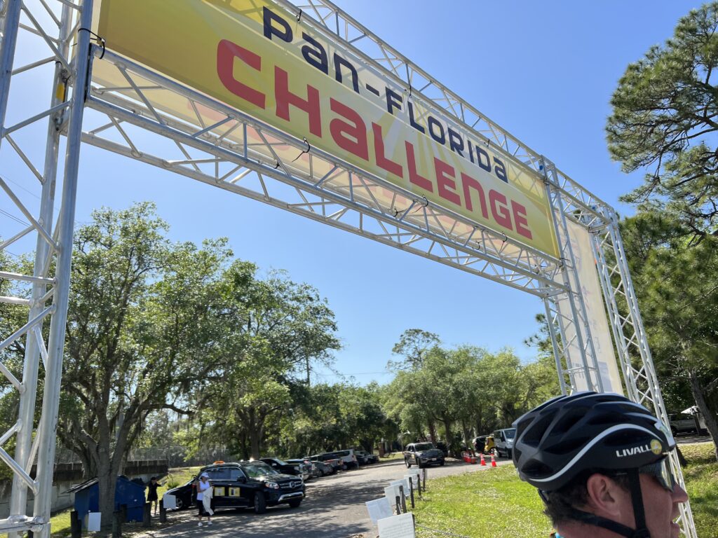
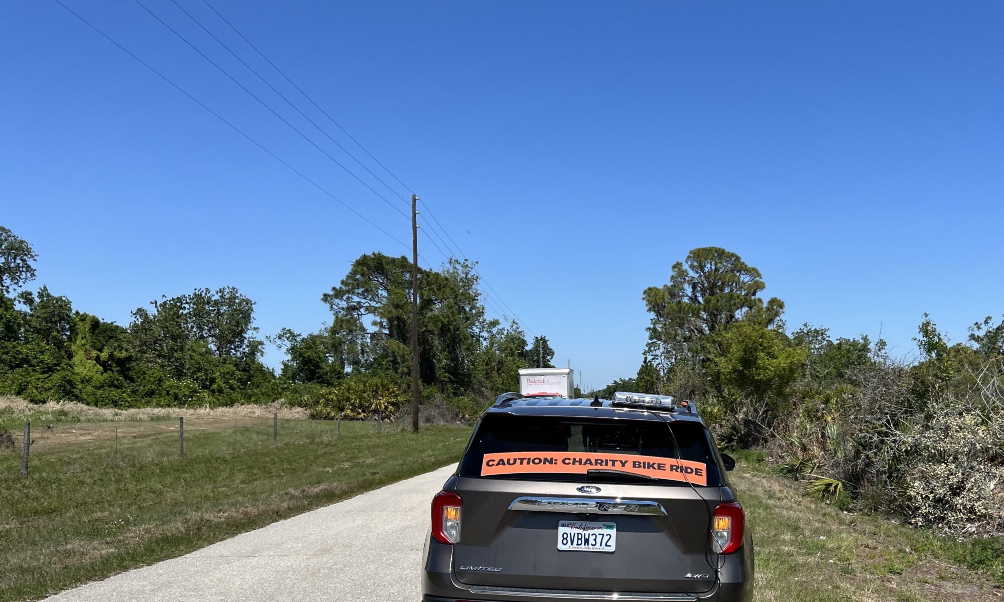
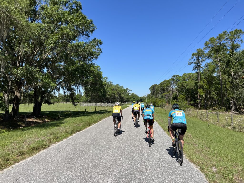
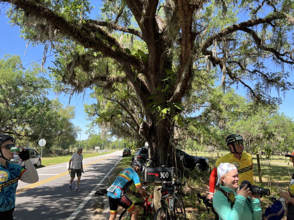
This was Day 2 of a 200-mile charity bike ride, the Pan-Florida Challenge. It has been 10 years since I last rode a double century – at RAGBRAI. With no rides longer than 15-20 miles most of the winter, would I even be able to do one century?

Yesterday went well and today went even better. The 100-mile second day was actually 106 miles. But at no point were my legs ever hurting me or my energy level low.

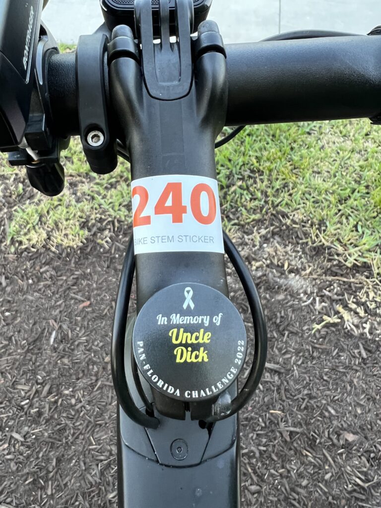
Uncle Dick is in Memory of Richard Lowmaster

The ride started when the A riders left the start line. About a minute later the B riders would go. I had looked at the group of four guys in the B group and thought I was in the right group (C). Yet I rode with those guys yesterday until I dropped them so maybe I should be with them. But I let them go.

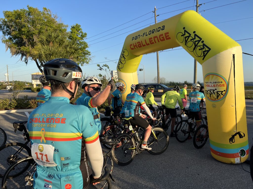
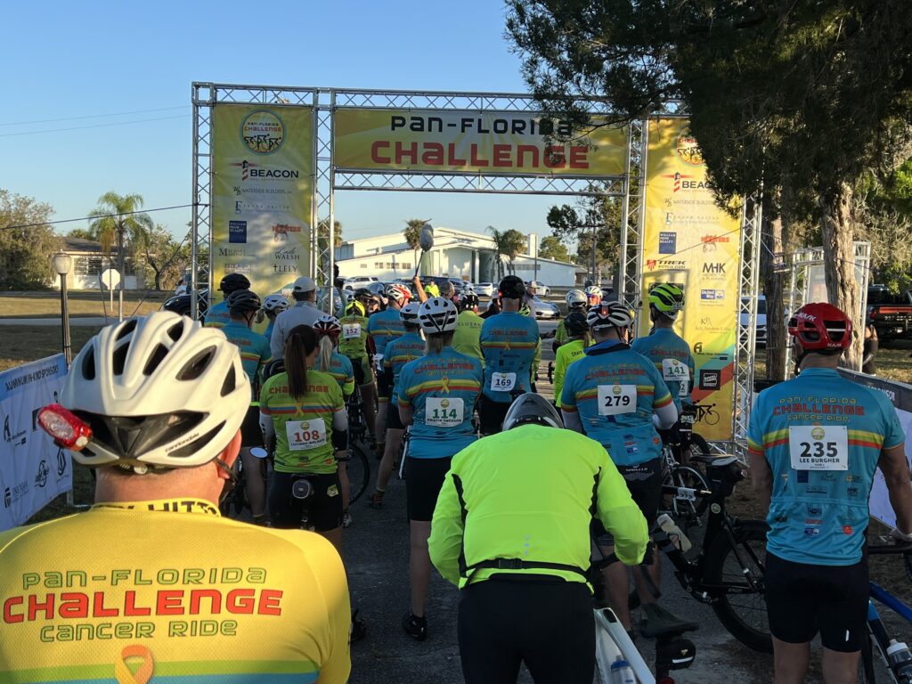
At the start line

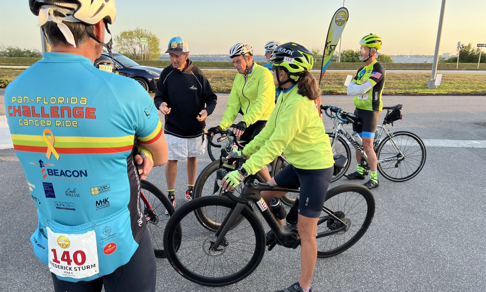
Another minute or so and then the C group pulled out. There seemed to be 12 of us and I immediately went to the front. The others lined up behind me and I carefully pegged my speed at 16 mph. Our riding speed was supposed to be 15-17 mph and by my calculation, 16 mph was in that range.

“Too fast! You’re going too fast!” I heard a voice, or maybe two, from within the group. This was not going well. I slowed to 15 then after five minutes decided to give others a chance. I moved to the back and sat behind Mark.

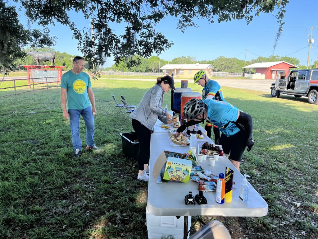
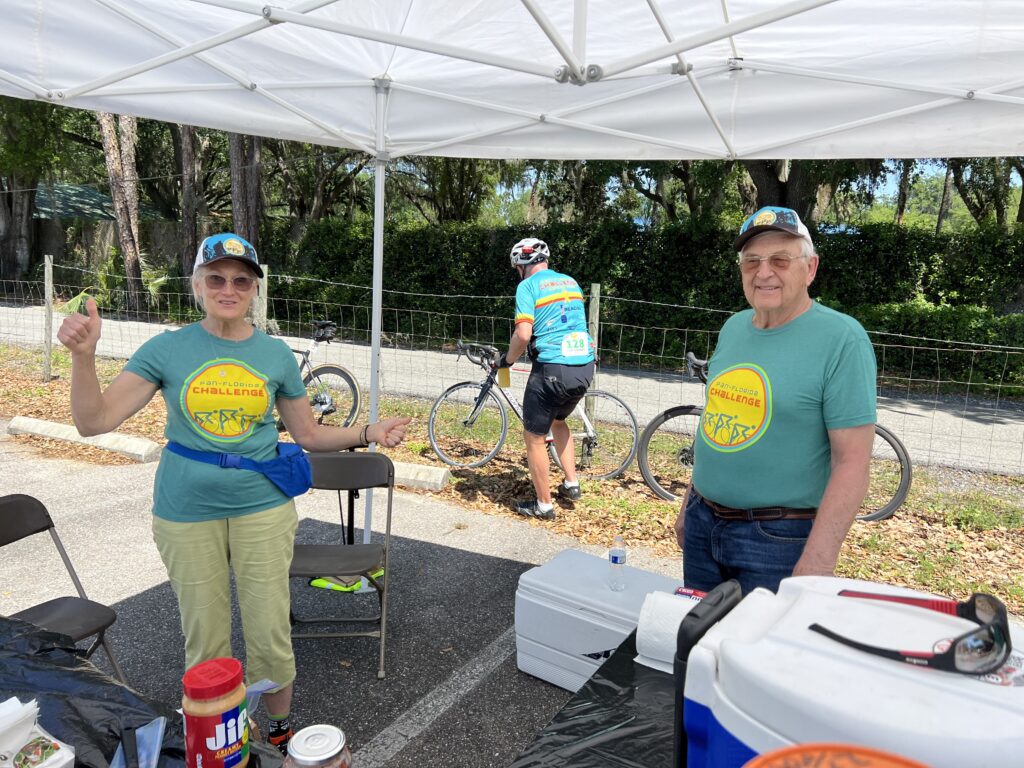
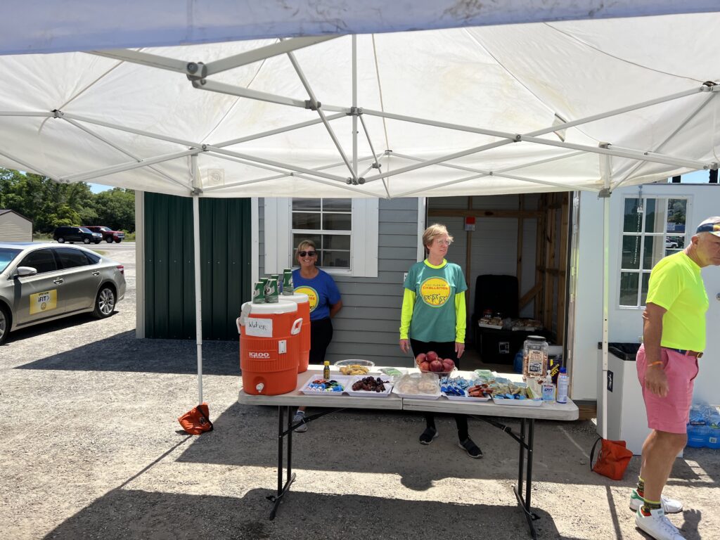
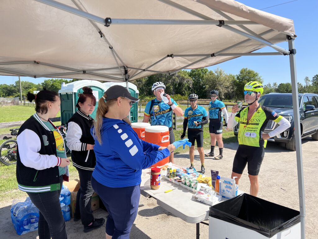
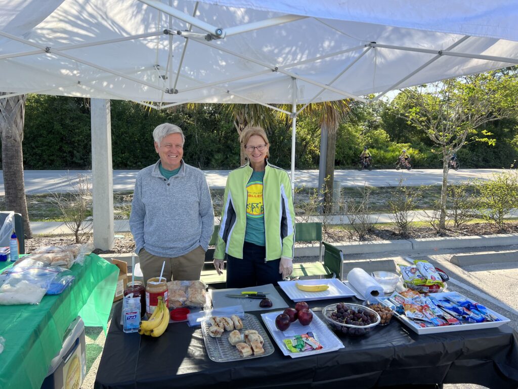
Volunteers as Rest Stop one

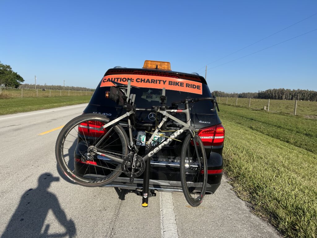
We were going 14 mph. I was not happy. I was also concerned about being in the sun too long today and needed to go faster. I could see about one mile ahead and could barely see some blinking red flashers on the four bikes of the B group.

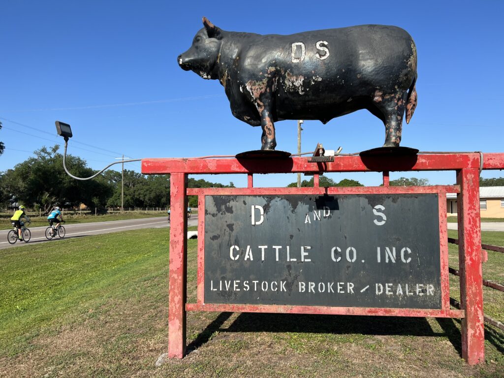
Leaving D & S Cattle Co.

It was more instinct than thought but I pulled beside Mark and told him that I was going to bridge up to the B group. I’m not sure what Mark may have thought but I only shared my plan with him. What’s the worst that could happen? Try and fail. But at least I had to try.

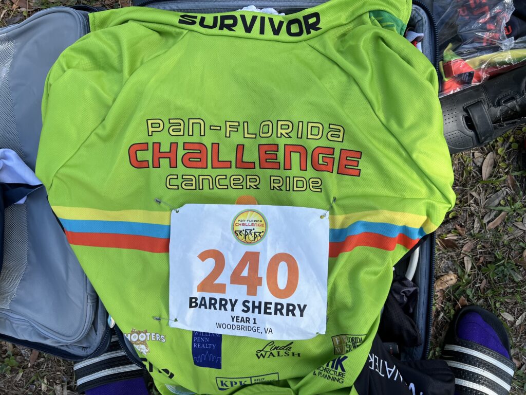
Proud to wear a SURVIVOR jersey

The line was stretched out on the shoulder or in a bike lane. I was 12th wheel when I took off. When I passed the front rider I was going 24 mph and still increasing my speed. I soon settled in and looked for landmarks up the road. The first was a pole and it took me more than 3:00 from the time I saw the group pass it until I got there. Then it was 2:15. And followed by 1:45 and 0:55. I was closing and even faster than I thought.

Rest stop four

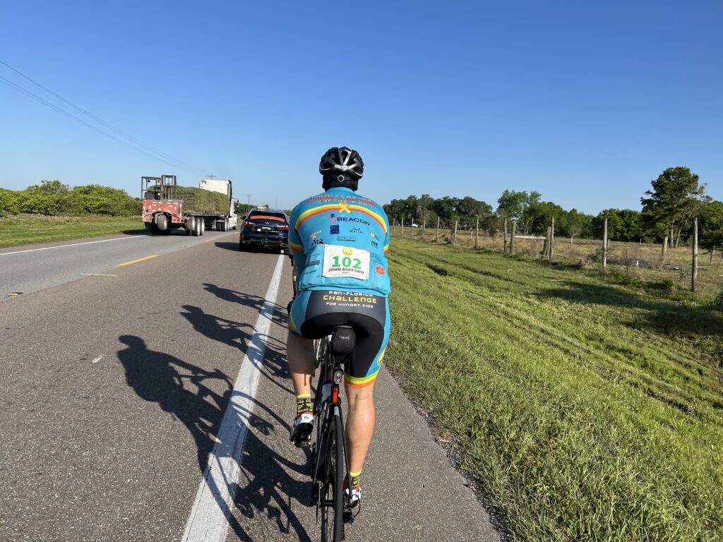
When I got to 0:30 I caught a support vehicle. The driver asked if I was trying to catch the group and I replied that I was. He then asked me if he should go tell them to slow down. LOL. “No,” I replied. “I will catch them.”

Catching the support car of Group B

If my numbers are right I had chased them for more than 16 minutes. I chased for 5.3 miles. That was probably the most or second-most enjoyable segment on this two-day ride. There’s something very satisfying about doing a chase and being successful.

Rest stop three

In retrospect, I probably should have gone right by then to the front of their group. Then I would have had five surprised faces instead of one. But I pulled in behind John who was surprised to see a shadow next to his. It was early morning and going north, we had nice long shadows to our left.

Jumping on the back of the group

But there were five instead of four that I saw leave the start line. Then a woman peeled off the front. It was Laura who I had ridden with yesterday. She greeted me loudly as I did her.

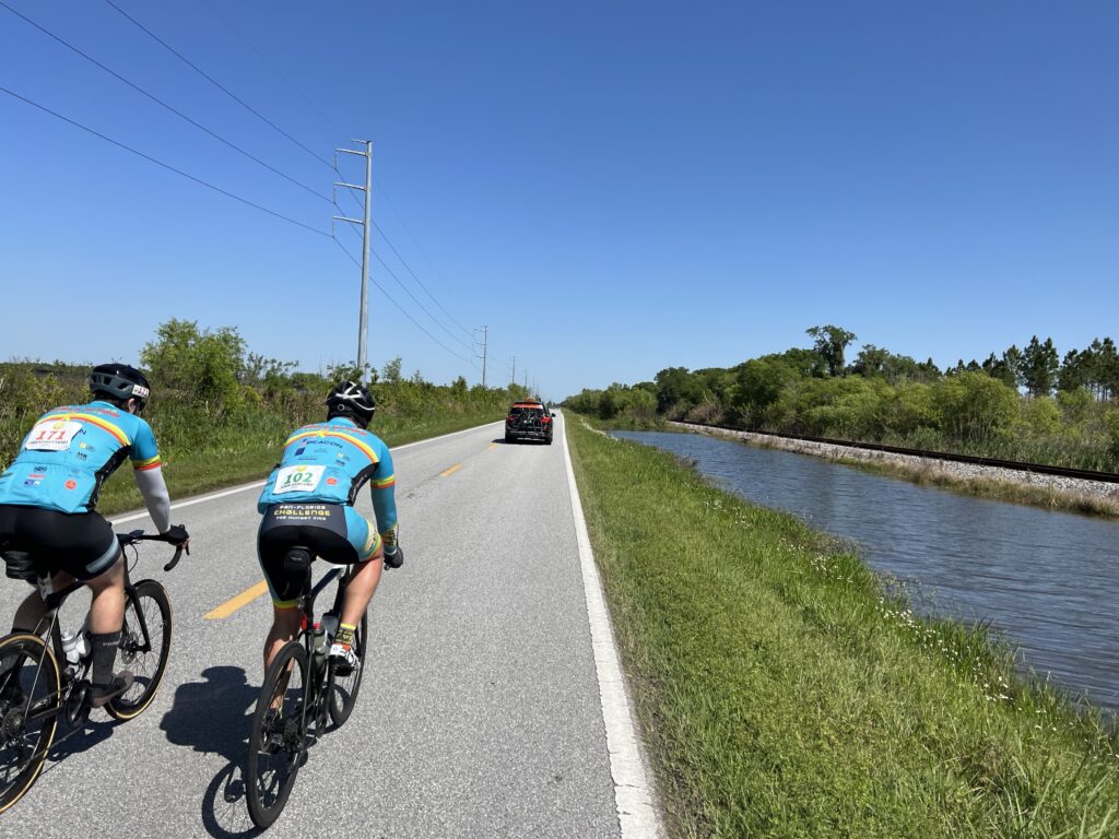
The winds were strong. Almost exclusively headwinds as we were headed north. At Mile 50 we came to a rest stop and two riders dropped out. One said it wasn’t fun riding in the wind. We were down to a group of four.

Volunteers at Rest Stop 2 – Mile 58

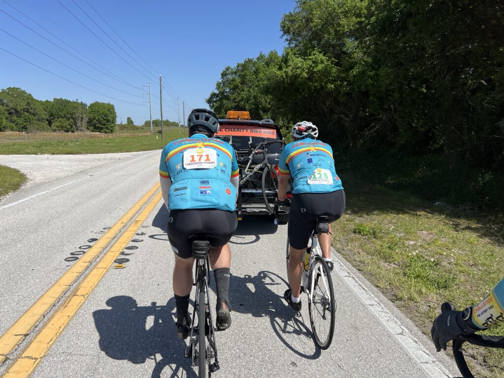
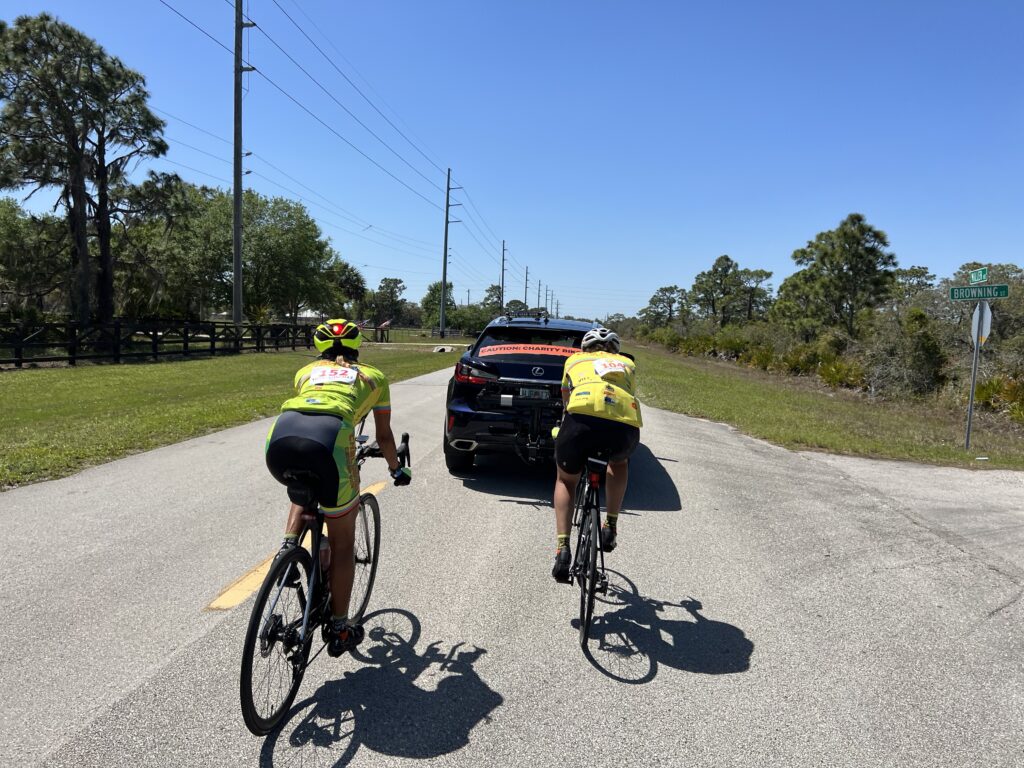
However, we also entered more rural roads and we had a support driver who was willing to let us draft off him. I was always willing to hug a bumper but didn’t want to hog a bumper. And we encouraged our weakest link, a rider whom we were always dropping. Once he got the hang of drafting at 15 mph the driver sped up to 17 mph and our rider quit. “I can’t ride at 17 (mph),” he said. This was in the B group where one was supposed to average 18-20 mph. The C group, in which I started was 15-17 and we had a rider who couldn’t ride at 17. The more I thought about this the more I thought I was right about my riding speed. It’s just that everybody else was way off.

A group of four

At a lull on a backcountry road, I worked on getting our group to do a rotating pace line. After 3-4 minutes one of our riders said “Good luck with your chain gang” and quit cooperating. That was very unusual. After the ride, he said to me, “Well this wasn’t my first rodeo.” I guess he was too good to cooperate with us. Oh well.

Drafting the support car

I asked Christopher why he was on a cancer ride. He told me he lost his mother, Theresa, 60, to brain cancer one year ago this weekend. I asked him what he thought about our two riders quitting. He told me that he was riding in honor of his mother and he was going to finish the ride no matter what.

Rest stop four

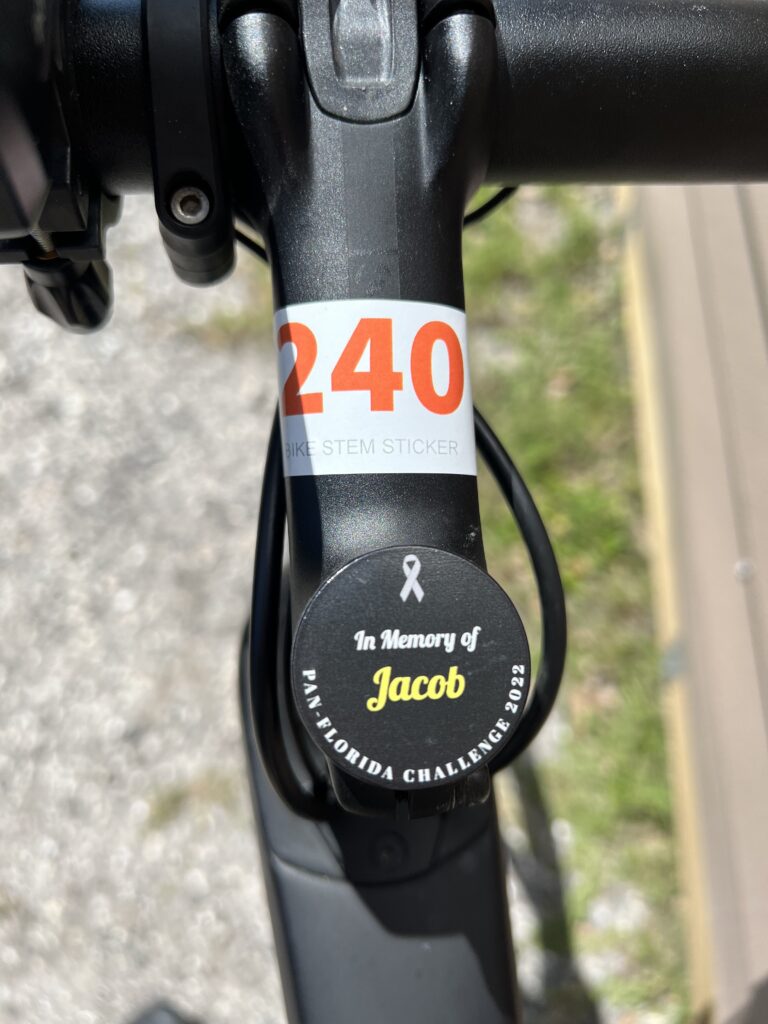
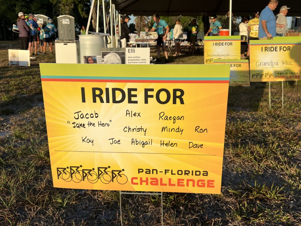
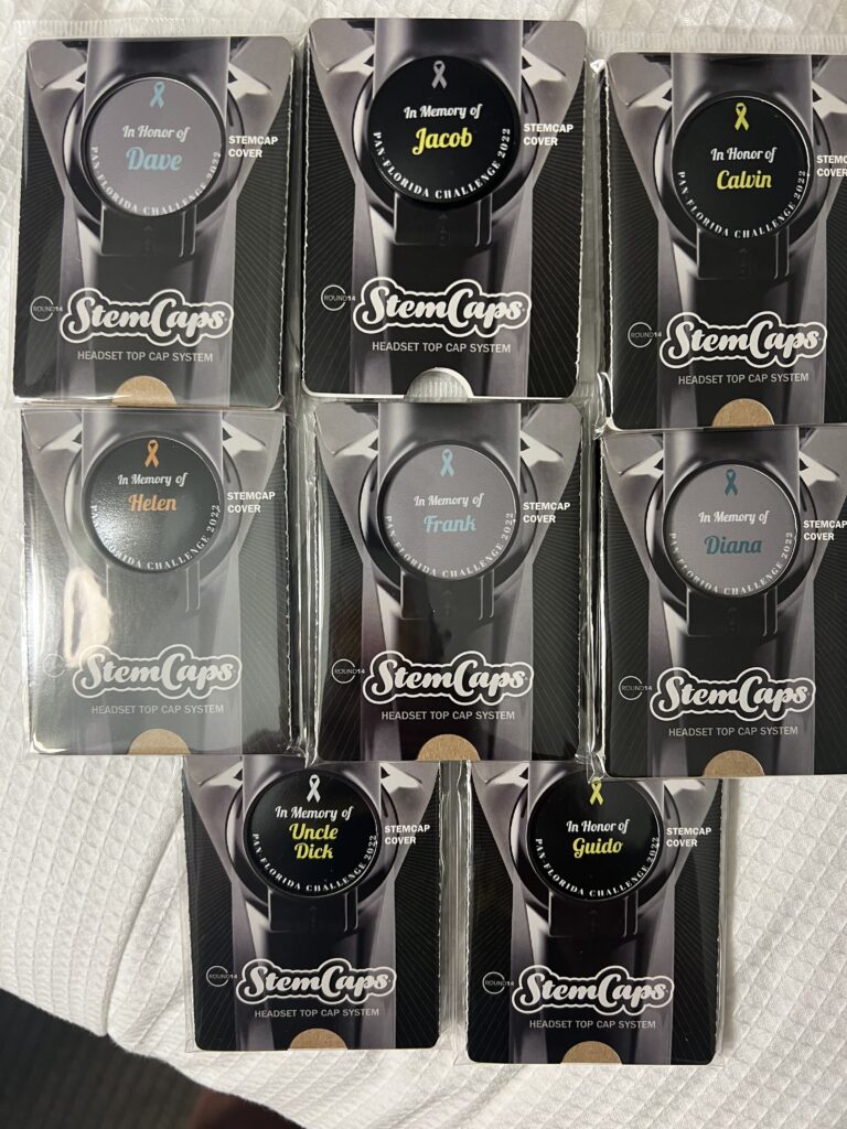
I shared the same conviction. I was riding for every name on those stem caps I had. As soon as I put a new name on the bike I was riding. There was no way I would jump in a car.

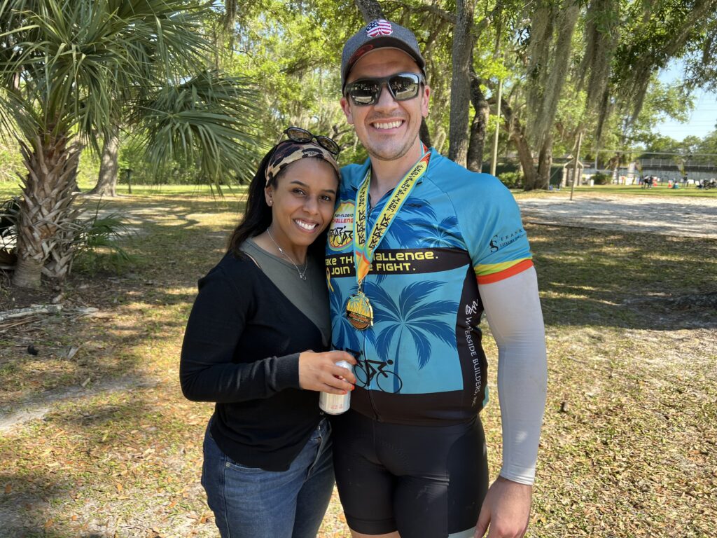
Chris also told me he is a plastic surgeon in Miami and his wife is a surgeon living in Minneapolis. I think she is finishing her residency and they will live in Miami. But she flew down to visit him this weekend and he took off on a two-day cancer ride. This is what love looks like.

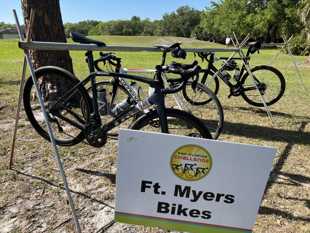
Bike corral before heading back to Ft. Myers

I never felt any energy depletion. I wanted to ride. At the last rest stop, I put on the name Jacob. And I knew that “Jake the Hero” would get me home. I would be riding for him but also with him.

Riding for and with Jacob – Jake the Hero

We picked up some stragglers and Chris and I went to the front for the last five miles. I heard people calling out to go slow so we would all finish together. Okay, I could do that. It didn’t mean anything to me if I was in a group or a group of one.

Christopher and his wife

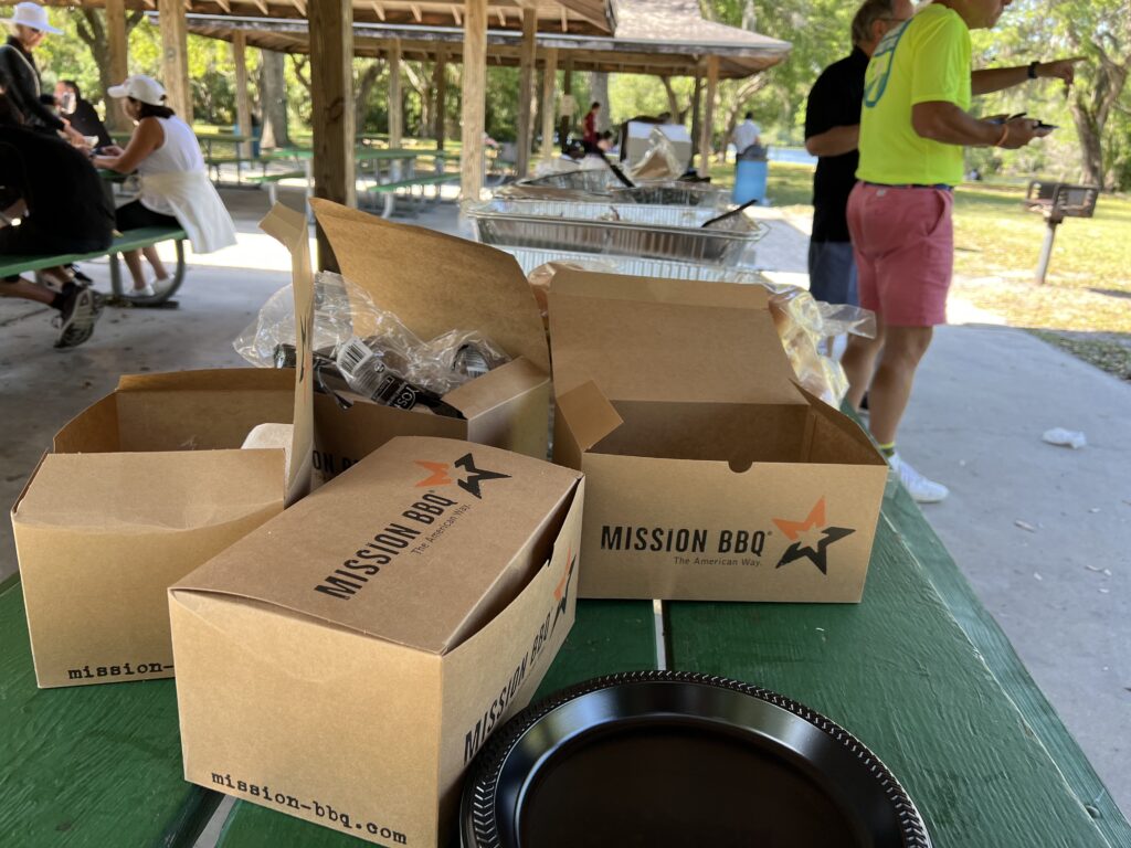
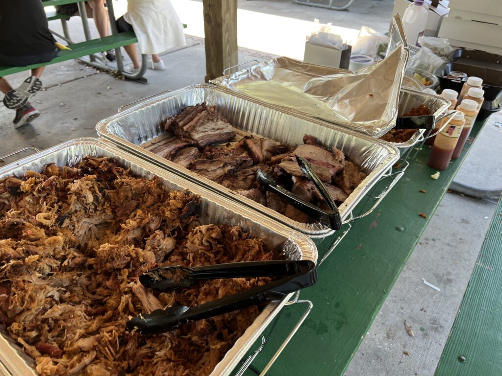
We finished in a small park. My luggage was there so I changed into casual clothes and out of my riding kit. They had dinner in a picnic shelter catered by Mission BBQ. This was my kind of dinner.

Mission BBQ

We were to board at 5:00 p.m. but are waiting on one person to finish. We had been told yesterday that anyone out on course at 4:00 p.m. would be SAGged in but I guess that didn’t happen. And I’m okay with that.

Mission BBQ

Then she finishes. She appears to be one of the oldest participants. What an effort she gave to finish. I don’t mind being delayed so she could complete her ride. What a contrast to the two in our group who just quit at Mile 50.

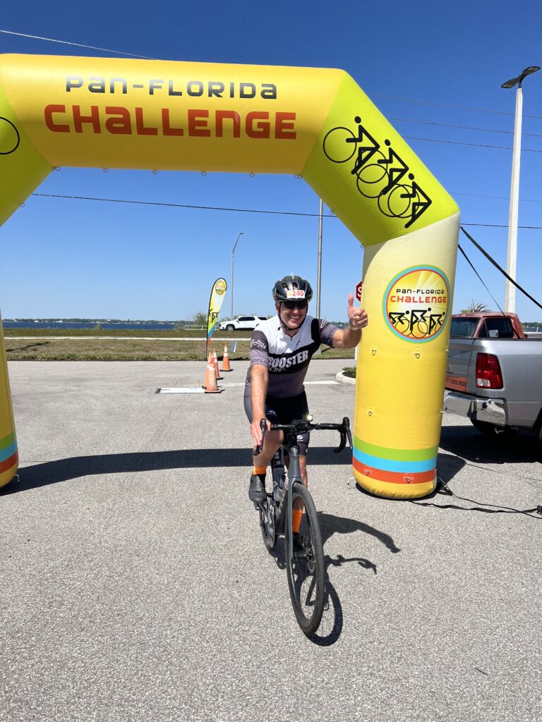
The finish

What a ride. Two Hundred (206) miles fighting cancer. With no real winter training. I like this!


FUNDRAISING: $1700


EPILOGUE: This was a great two-day event. Fundraising was daunting although it was 50% of the required amount for first-year riders. It was small, small enough to be intimate. I would consider making the drive for a two-day event but in 2023 they featured a 100-mile ride on Saturday in Fort Myers and a 100-mile ride in Tampa on Sunday. In 2024 it was a Saturday-only event. Good cause but not enough cycling to get me to drive 1,000 miles.

A Lesson in Drafting

FORT MYERS, FLORIDA

My Uncle Dan became a widower in 2020. My mother was already a widow and the two of them faced the possibility that they would never see each other again. I promised my mother that if she could sit 12-14 hours, one-way, in a car, I’d make a trip from Pennsylvania to Florida so she could visit her brother.

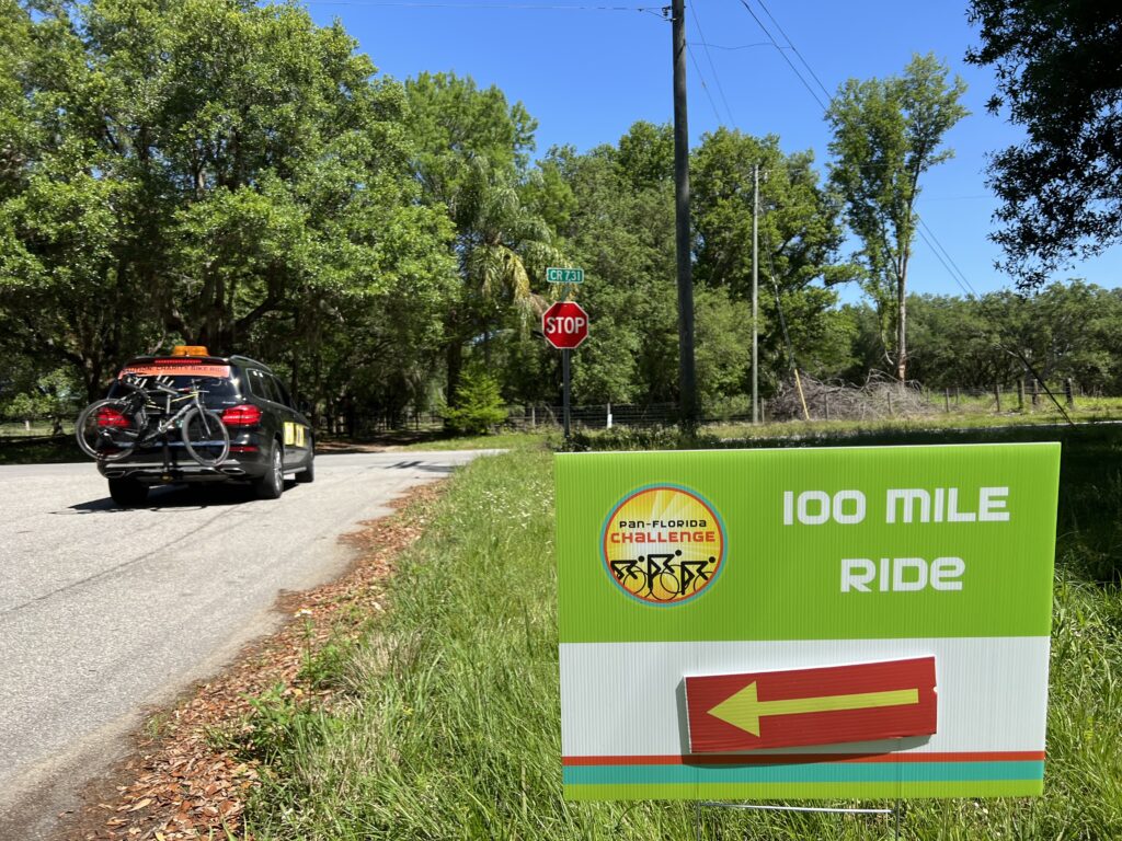
Over the winter I started looking for a cancer charity ride and found the Pan-Florida Challenge. This was a 200-mile ride from Fort Myers to Sebring on Day 1 and then Sebring to Tampa on Day 2.

What follows are my observations. I have no complaints, just observations.

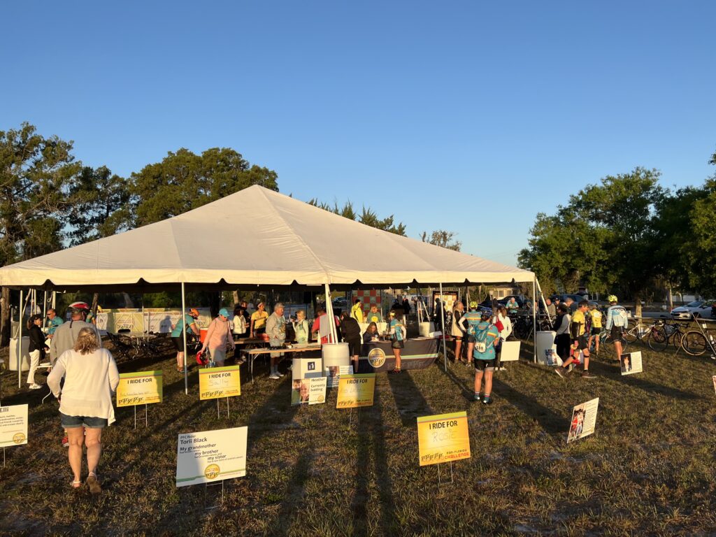
I checked in yesterday at a Brewery in Bonita Springs. Nice volunteers checked my name off a list and handed me a bag that contained stickers for my bike and helmet plus a bib with my number to wear. Also included were an event jersey and bib shorts that I ordered.

The event hotel was the Hyatt Place in Fort Myers. When I checked in I learned their breakfast was not until 7:00 a.m. We were supposed to check in at the event by 6:30 a.m. I thought I’d pass a fast-food restaurant on the way to the event but I was wrong.

Rest Stop

My GPS with a saved location took me out into the country and I went by the entrance without realizing it. Mild panic set in as I was thinking I’d miss the start. My bike’s Wahoo computer had the day’s ride on it so I turned it on and answered yes when it asked if it should navigate to the ride start. And that is how I got to the event on time.

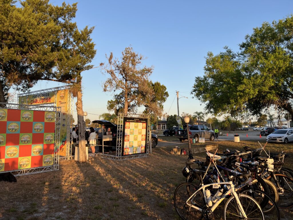
Start in Fort Myers

My biggest decision was what to wear. I had been given an event jersey but for two days which day should I wear it? If both, then I’d be trying to wash it later tonight. I decided to save it for tomorrow and wore my Rooster Racing Inc. kit today.

Event Start in Fort Myers

At the starting line, I could see that only 3-4 other riders were not wearing an event jersey. I was fine with that because I would wear it tomorrow. There were riders only riding on Day 1 and some riders had two jerseys from riding this event before.

Ready. Set. Ride

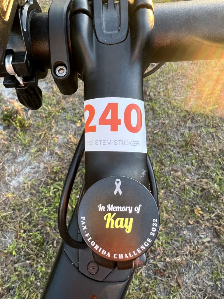
I wanted to do something very special for this ride. I had stem caps made for my bike to ride in honor of or in memory of cancer warriors.

Stem caps made for this ride

I would begin the ride in memory of my wonderful cousin, Kay Walborn. Kay died in 2018 from brain cancer.

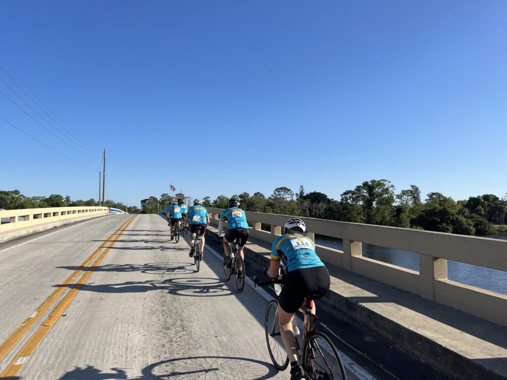
We had to declare a riding speed before the event. The A group was 21-25 mph. The B group was 18-20 mph. The C group was 15-17 mph. I knew I could ride in the B group but for a recreational cancer ride, I registered for the C group. I was prepared to ride 100 miles solo and 16-17 was an honest assessment. Honest.

Rooster Racing (Fort Myers)

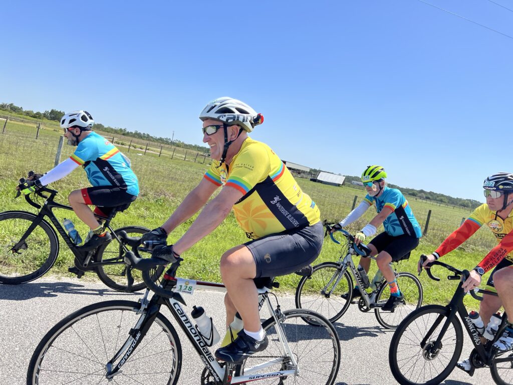
The A riders were sent off first followed by the B riders one minute (or so) later. The C group was sent off and I was somewhere in the middle of maybe 12 riders when we reached the main road. Almost immediately I was in a group with two women, Lucinda and Kristine, and one man. Lucinda took a lengthy pull until I went to the front to take over. The guy dropped off and the three of us rode to rest stop one.

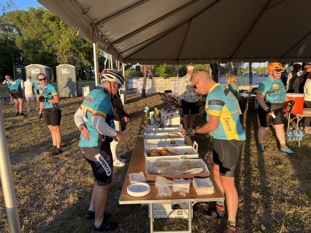
Breakfast at the start line

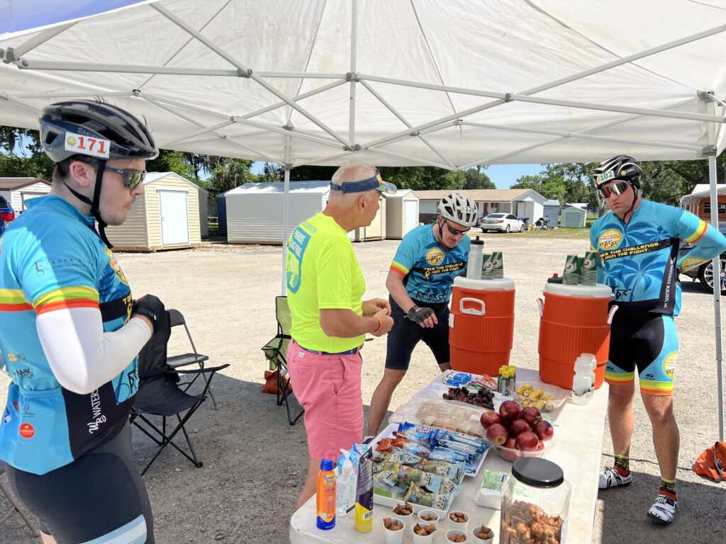
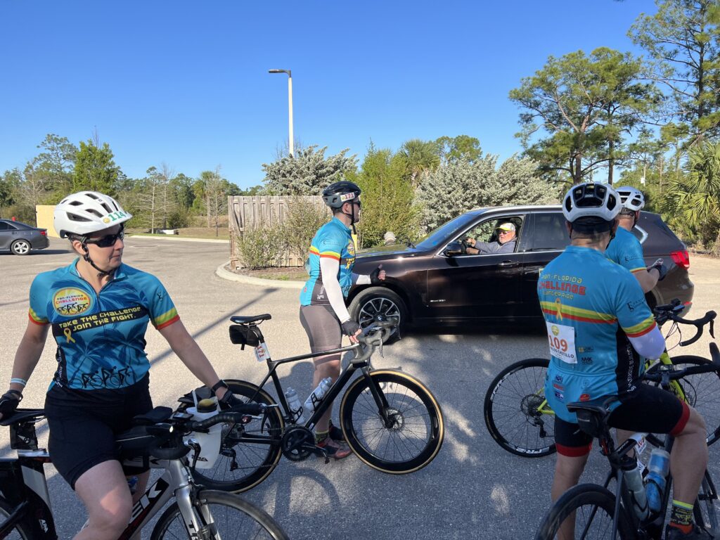
At rest stop one my priorities were to change the stem cap, refill bottles, grab something to eat, and then roll on. But we seemingly grouped up, maybe all of Group C, and rolled out together.

A hill

I pulled out of line while on a country road to ride double file. I was next to Dave from Westfield, Indiana, when he asked me if he was riding on a flat. I looked and told him he was. We both called out “flat” and pulled off. No one came with us. I was with him for 10-12 minutes before his flat was fixed. Dave then told me he was riding the Metric route and was turning around at that point. I was by myself.

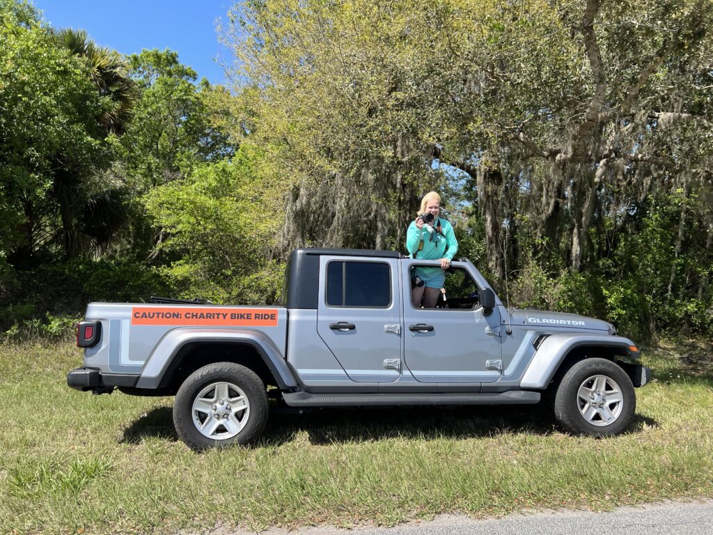
Our event photographer caught in action

If someone else had stopped at least there would be two of us to “chase.” But I was ok by myself. And sort of enjoyed it. A SAG vehicle came by and the driver must have wondered what I was doing. I was beginning to understand this was a ride where people stayed together, much like the Saturday morning no-drop shop ride. And I was all by myself, through no fault of my own I will add. The driver asked if I was OK and I assured him I was.

Alone on the road (Old State Road 8)

At rest stop two the group was resting. I pulled in, changed a stem cap, grabbed some water and a bar, and off we rode. Into the wind. We were going mostly north and there was a strong headwind coming from the north. We stayed together, probably a dozen of us, with me dropping only once for a photo op. I quickly caught back on.

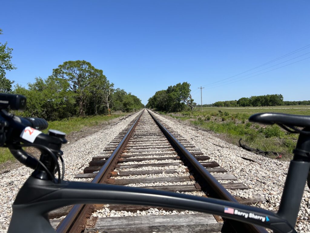
The railroad photo op (Dairy Rd and US 27)

And then the day would change for me. We came to rest stop three.

Rest Stop Three (just out of frame after the left turn) – Venus, Fla.

After quickly refilling bottles, eating half a banana, using the port-a-john, and grabbing a bag of trail mix for the road, I informed Lucinda that I was going to soft pedal until they caught me. I don’t do well standing around as lactic acid builds up and my legs feel like crap.

Rest stop volunteers

After 15 minutes and they still hadn’t caught me a vehicle came by and pulled right in front of me. I followed him closely – 18, 20, 22, 25, 28 mph – all into a wicked headwind. We did this for more than five miles until we caught the first group on the road. I went by two men and then caught two women who had their own support vehicle. I felt good enough to blow by them and go ahead but was content enough to ride with them.

In the group

My ride partners for the final 20 miles were Laura and Kristina. Kristina was from New York City and visiting her parents. I asked her if she ever drafted a vehicle and she hadn’t. I went up to the car and encouraged her to join me. Eventually, she did and then she was hooked. It was beautiful to witness. I tried to get Laura to draft but she finally revealed a secret. The driver was her husband.

Lake Placid, Fla.

We finished our 100 (99) and I went back to make sure it was 100. Then I went back again and found some of my group coming in. Lucinda had never ridden a century before and she needed to turn the odometer to 100 so she and I went out again to get her the final mile.

Rest stop three

At the finish, for the third time, my support driver thanked me for knowing how to draft. He said he offered a couple of other guys the same courtesy but no one knew how or would draft off him.

Barry at finish (and out of uniform)

At the hotel, the Residence Inn by Marriott in Sebring, I found they did not have a reservation for me. Apparently, I had signed up for the 100-mile ride and not the 200-mile ride which I intended to do. Thankfully our event director had an extra room to be used so that worked out ok.

At Rest Stop 1

Dinner was provided and included an awards recognition as well. It was in a building between the Residence Inn and Tru by Hilton, right on Little Lake Jackson. Good food and a great location.

Lake Placid, Fla.

I worried most about how my body would respond. Riding every day in preparation is one thing. But doing a one-hour ride in winter of 14-15 miles is not the same as riding 50 and 60-mile rides. But I did ok. No twinges of cramps. My big question is how the second day, a hundred after a hundred, would go.

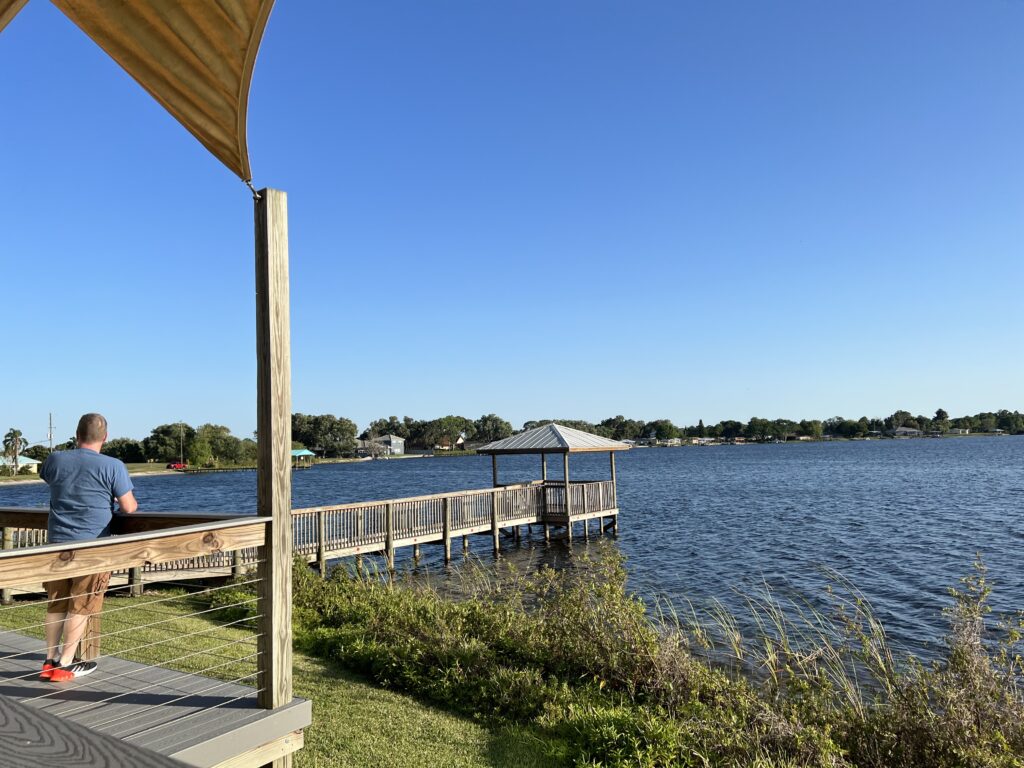
A view of Little Lake Jackson – off the deck of the dinner facility

What to wear. I may have missed it but saw no guidance on when to wear the PFC kit. Since I was riding for two days and had one jersey, I made the decision for the second day. I did this in part because I wanted to finish the 200-mile ride in the PFC kit. This is similar to Ride the Rockies where the cool kids know to wait until the last day to wear their RTR jersey for that year.

Laura and Kristina hitching a ride

I would say that today 90% wore a PFC jersey. They were either blue or yellow depending on fundraising level. But there was a special green one – for survivors. I only saw one rider, Lucinda, wearing the green. And tomorrow, I will be in green.

Kristina

◆ Everyone has a story. Some I made stem caps for. But riding for others empowers me and I talked to someone today about every single donor.


Note: Any names which may appear in this post on riders’ bibs that are similar to the names of people mentioned herein, are purely coincidental.


Casey Key – The Hidden Gem

SARASOTA, FLORIDA

This started as a review of the Legacy Trail. So I can start there. I stayed overnight in Brandon, Florida, and was headed south to Fort Myers. I wanted to ride the Legacy Trail but did not do my homework as to my starting location.

The Legacy Trail

I told Siri to find the Legacy Trail using both Waze and Apple Maps. Neither succeeded. When I ended up in Venice I made my way over on Venice Ave. to where I thought I would find the trail.

At the southern end of the Legacy Trail near Venice

There is parking at the bus/train terminal in Venice. According to TrailLink.com (which I should have noted) there is additional parking:

  • Patriots Park (800 Venetia Bay Blvd., Venice)
  • Nokomis Community Park (234 Nippino Trail East, Nokomis)
  • Laurel Park (509 Collins Rd., Laurel)
  • Oscar Scherer State Park (1843 S. Tamiami Trail, Osprey)
  • Bay Street Park (300 Bay St., Osprey)
  • Potter Park (8587 Potter Park Dr., Sarasota)
  • Payne Park (2010 Adams Lane, Sarasota)

I ended up at Nokomis Community Park. I found the trail and then headed north. I intended to head south for 1-2 miles knowing I was close to Venice. I thought I had parked east of the trail so a left turn would take me south. I also learned about the directional arrow on my Wahoo (after two years of using it). The N is not at the top of the map/computer but at the bottom of an arrow pointing up. And so when I was headed north the N was on the bottom of the screen which, in my mind, confirmed I was going south. Confused? I was.

Did you know there is a 15 mph speed limit on the trail? You will as there are signs everywhere. Even this recreational rider, into the wind, had a hard time keeping the speed to 15 mph.

The trail is straight. The trail is flat except for two overpasses. The overpass by the train depot at the southern end might be the coolest fixture on the trail.

The Legacy Trail Overpass

Being a Friday morning I can’t judge whether the trail was crowded by local standards. I saw very few runners/walkers and no dogs. Don’t they like dogs here? I also saw plenty of trikes. Not just three-wheeled bicycles but trikes ridden by the Amish.

Amish woman on a trike

My initial plan was to ride the length of the Legacy Trail and back. Then I would meet my friend, Darrin, for lunch. But the trail has a reputation as being straight and boring.

There were no alligators. Just a tease.

But any new trail to me is exciting the first time. The pavement was excellent, perhaps the best I have ever ridden. Smooth pavement and no tree roots.

A fixture on the Legacy Trail

The trail lacks fixtures. No tunnels and no great trestles. There were a couple of bridges next to the old rail line but that was it if one was looking for rail history.

Legacy Trail Crossing

The trail crosses some busy streets and I stopped and waited for the ped-head light at each. Some seemingly were pretty long which adds to a local complaint of the trail – too many at-grade crossings.

Legacy Trail – Sarasota

When I reached the end of the trail in Sarasota I headed over to the waterfront. I wanted a photo at Unconditional Surrender, the statue that commemorates the kiss in Times Square at the end of World War II.

Unconditional Surrender, Sarasota

I had already decided not to return via the Legacy Trail. Was it boring? Or was the coastal route more exciting?

Siesta Key

I headed out to Siesta Key. It’s a beautiful strip of land and overly crowded. There was a bike lane for much of it and I almost went down hard on it. At one point it was next to a sidewalk and I had to transition from bike lane to the sidewalk. I did not turn sharply but was going to ease over gradually. There was a lip and my tire caught briefly in it. But I made it and was very thankful I did not crash.

Siesta Key

Leaving the island I came to the Tamiami Trail, aka Hwy 41. There was a bike lane on this high-speed highway. I will stop short of recommending any highway riding but for this stretch neither would I discourage it.

Tamiami Trail

I was on the highway for six miles going south then turned on Blackburn Point Road out to Casey Key. I crossed a one-lane steel grate bridge over the waterway and was on Casey Key.

Casey Key

What a joy this ride was. The next four miles were the finest four miles I had in Florida. I regret I could not capture it in photos. On the right side of the narrow road was the Gulf of Mexico. On the left side was the waterway/bay (Gulf Intracoastal Waterway). If there was enough room there was a beautiful home, maybe even a small mansion. This really did look like the most perfect place to live. Or ride.

The Legacy Trail

I rode back over to where I parked and decided I needed to the last mile of the Legacy Trail down to Venice. I was glad I did.

Venice Train Station

The last mile or first mile features the Venice Train Station which appears to be a city bus and commuter parking center. Here is where the feature fly-over ramp is also.

Legacy Trail

I finished the ride and then drove back up the highway to meet Darrin. Had I known where I was going and where we’d meet, I would have stopped in on my ride. Or if he knew he would have said to stop at Mad Moe’s in Osprey.

Barry and Darrin

But it was a beautiful day and we enjoyed sitting outside.

Apparently, if you leave your bike too long in Sarasota they paint it

Don’t miss the Ringling Brothers car at the Train Depot.


Withlacoochee

BROOKSVILLE, FLORIDA

I haven’t had great luck on this trail. I brought my own luck. Weather

At 46 miles, the Withlacoochee State Trail is one of the longest paved rail-trails in Florida.

With a generally flat terrain and many access points, the trail is an ideal venue for all skill and fitness levels of cycling, running, walking and skating. An unpaved equestrian trail parallels portions of the paved trail. The trail corridor traverses three counties (Citrus, Hernando and Pasco), offering an enjoyable, varied journey as it runs through small towns, ranches and six distinct natural communities between Citrus Springs and Dade City.

Owensboro – Withlacooche State Trail

Pancake flat and very wide. It is a nice trail.

Withlacooche State Trail – Mile 0

I first came here in the late afternoon of November 17, 2021. I found the trailhead at Flora City. It has parking and restrooms. I was about halfway on the trail and my decision was to ride north or south. I met a local who advised me to ride north.

Withlacooche State Trail – Dade City

I was soon riding with a guy and enjoying the scenery, Inverness was around Mile 7 heading north. Definitely in the lake region. I continued up to Hernando before the need to turn around as I would be losing sunlight. I had a nice ride on the trail that day but didn’t quite make it to the end.

Withlacooche State Trail – Inverness

On March 23 I came to Brooksville. The trail wasn’t far away and I rode to it and went south to the southern terminus at Ownesboro. From there I rode 15 miles north to Nobleton before turning around. The trail here is very wooded.

Bridge over Cortez Bld – Fla. Rte 50 – Brooksville. Withlacooche State Trail

When I got back to the hotel I felt buggy. And for good reason. There were at least four bugs on my jersey or in my hair including an inchworm.

Withlacooche State Trail – Inverness

Nobleton is just south of Flora City, the segment I rode in November. I went back the next day and was going to finish the trail.

800 Miles to Richmond – Withlacooche State Trail
(Facing south so it’s 800 miles FROM RIchmond)

I started north and was retracing what I had ridden in November. By the time I reached Inverness, the skies had opened up and I was soaked. It wasn’t a lot of fun and that’s what riding should be about.

Inverness – Withlacooche State Trail

A neat feature on this trail can be found every mile. These are mile makers. They begin with the letter R followed by a distance. This was the Atlantic Coast Line Railroad and its headquarters was in Richmond, Virginia. It was wild to think that Richmond was only 800 miles away by rail. And I wished it was a paved rail trail. But it’s not.

The trail is wide. It passes lakes and swamps. For summer rides the heavy canopy presents needed shade from the Florida sun. Sadly, for me, it did not form an umbrella to protect me from the rain.

I would not necessarily make this a destination ride as it lacks fixtures associated with some rail trails. But if you are anywhere in the area and want to put in a few miles, definitely go here.


MILEAGE: 73.9

Shaking off the Dust

WARRENTON, VIRGINIA

It was a group ride with Prince William Cycling Club billed as “Shake off the dust and clean off the rust.” The departure location was the Old Bust Head Brewing Company in Warrenton.

I arrived on a cold morning (45º) with plenty of time but fiddled with my contact lenses. By the time I rolled up to the start at 8:59 a.m. (I could have moved quicker.)

There were about 40 cyclists but in two groups leaving at 9:00 a.m. I had to make sure to find the faster/longer group. If there was a division at the start I could certainly tell by the riders in each group. I also figured, correctly, that the faster group (15-16 mph and 40 miles) would be smaller than the 30-mile group. But we were in one large group and I needed to make sure as we rolled out. I also asked as we pedaled away.

There were nine of us. John (Orange Pinarello on Facebook), Charlie, Ed, Jamie, and Louis, three others, and me. I was the oldest.

On a group ride, no one says they check out everyone’s bikes but everybody does. Who’s on the neon carbon bike? Who has the oldest bike? Anyone with a classic bike? And who is riding a gravel bike on a road ride? Uh, that would be me.

I was perfectly dressed. But I guess we all were. Most worse leg or knee warmers. With an expected temperature of 60º, I wore my Roosters Racing kit. I had a light Roosters jacket which meant I was the guy in black/grey on a black/grey bike. I had knee warmers but my screaming color socks from Ridge Supply gave me a little color. And black “cookie” long-fingered gloves. No headcover under my helmet.

Only four of us said they uploaded the route to their computers and I don’t know who they were. I did and my Wahoo was working perfectly.

Store in Catharpin

Well, I wasn’t quite ready to roll. I didn’t have my gloves on. So I stayed at the back to get them adjusted then joined the group. We stayed together for a while. There was a split at the traffic light in Catharpin so the front group pulled over waited for the back group.

As we rolled into the country we gapped two riders. I do believe it was one rider and a sweeper. We were rolling along at 18-19 mph and someone asked us to slow the pace to no more than 16. I went to the front then did nose-breathing riding. Easy pace. After two miles I was told I caused a further split in the group. Damn me. We pulled over and waited for everyone to catch up.

We came to a country store where we caught the slower group. Since they left after us they obviously went a shorter way. They left before us and we caught them again in Cassanova but quickly turned onto our longer route.

It was at the store that John remembered where we had ridden together before. Two years ago I was riding from Manassas to home and he asked if he could ride along. He had remembered my Seinfeld story. At first, I was confused and then we both said “Delores!”

In October 2019, I was at Phil’s Cookie Fondo in Malibu, California. I happened to recognize the actress that plated Delores in the Seinfeld episode where he didn’t know his girlfriend’s name and it went too far that he could no longer ask her. So he had to figure it out. It was a classic episode and the actress, Susan Walters, posed for a photo with me. I talk too much.

Barry and Susan Walters

At 27 miles in, one of our riders, Bill, hit his wall. I told John I’d sweep and ride with Bill but John dropped back too so both of us did. We lost sight of the group. At Mile 34 we caught them as they had waited. I lost Bill and clawed my way to the front three riders. I guess I wanted everyone to know that I had not been dropped and could be riding at the front if I wanted to. I caught them at Mile 37 then let them go as this was a double left-hand turn. I wasn’t sure who knew the route and felt someone should wait for the stragglers to show them the way.

PWCC40 – Single file in Fauquier County

I counted seven riders then, after five minutes, decided to ride back to find our last two. I went 3/4 of a mile, uphill, before I saw them coming. Briefly, because so much time had elapsed, I had begun to worry that they took their own way back. But once I made contact we rode back down to the Battle of Coffee Hill then toured up Rogues road. Bill had to stop. Cramps. Badly.

Our game plan was for me to ride back to the start/finish (5.5 miles) then check on them. If they needed up I would go back and pick them up. I got back, called, and Bill had stopped completely and John was waiting with him. So I went and picked him up, This was Bill’s first outdoor ride of the year. It was my 60th.

The ride was supposed to be 15-16 mph. I came in at 17 and it would have been higher except for the 3-4 miles I rode sweeping with Bill. John’s ride was 16.5 mph so he lost 0.5 mph sweeping Bill. I may have lost that much too. I could not find someone in the first group to compare to but since we rode together that would have been my average.

But it was a beautiful late-winter day. And it served as a reminder that I have three weeks before my double-century ride in Florida. Need to get in the miles.

John thanked me for helping. If not me, then who? Hopefully, anyone in our group would have stepped up but no one did. I’m sure John would have but we had the luxury of him waiting with Bill for me to come back and pick him up. I had no room for John.


Verified by MonsterInsights