A New BlueRidger

MARSHALL, VIRGINIA

Oh how Strava Live Segments change everything. I came to ride the BlueRidger Proper (counter-clockwise). The weather was mostly sunny at the start but with a strong wind which would be cross-head or just a headwind for much of the ride. The temperature was 70°.

A few weeks ago I had ridden on Rectortown Road and found a segment I liked: Frogtown Road to Atoka Road. My goal for today: PR on that segment.
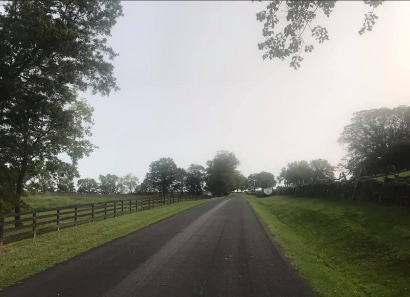
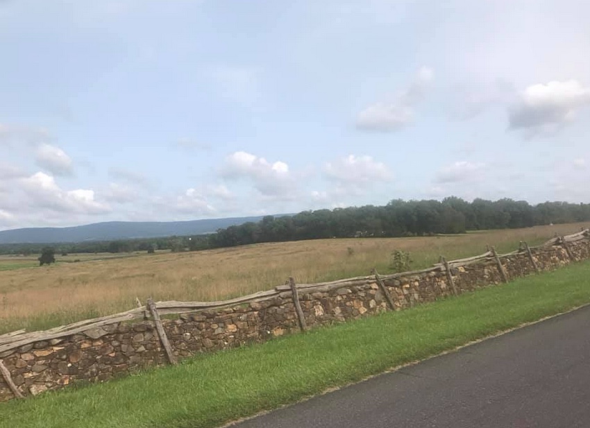
Rokeby Road, Upperville, Va.

I am loving my Live Segments but not every segment I sat seems to show up on my Wahoo. Once it’s there it stays but I never no until the next time I approach a segment if it will be a Live Segment. I rode off into a very strong headwind. Part of me said to just pedal through it while another part said to go for it. I listened to the bad me.

It did not show up as a Live Segment. Nor do I think that it would have done any good. I changed my time display to see elapsed time and went passed Frogtown at 8:48. As I approached Atoka Road I could see I was around 11:24. I knew I needed 2:24 and not 2:36. I was way off. And it was the wind. Well, at Atoka a woman looked at me and pulled out right in front of me causing me to sit up. I didn’t have to brake but I could no longer keep the pedals moving. So I settled for 3rd best of my time which was really tied for the second-best of my times. But way off the mark.
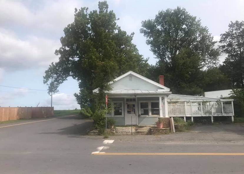
General Store at Airmont

The rest of the ride was uneventful. On Rectortown Road the road “bottoms out” as it crosses Goose Creek. I wanted to hit 40 mph here and I did. And then I got a Live Segment – GO! This was for Rectortown Test Climb. And even though I was riding into a strong wind, I decided to see if I could PR it. I was happy when 3:53 (New PR!) popped up. Old PR had been 4:15. Then I could rest the rest of the way.
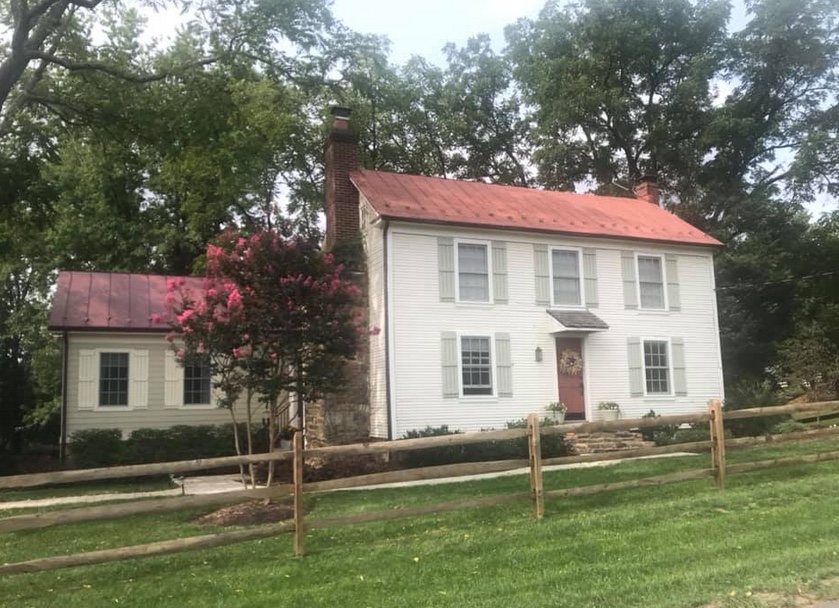
House on Snickersville Turnpike near Bluemont

Fighting the wind, I averaged 16.1 mph out to Airmont. Without doing a deep search, I found a ride from 11 years ago where I averaged 18 mph on this part. But that was in a group; I didn’t fight winds in my face; and I was 11 years younger.
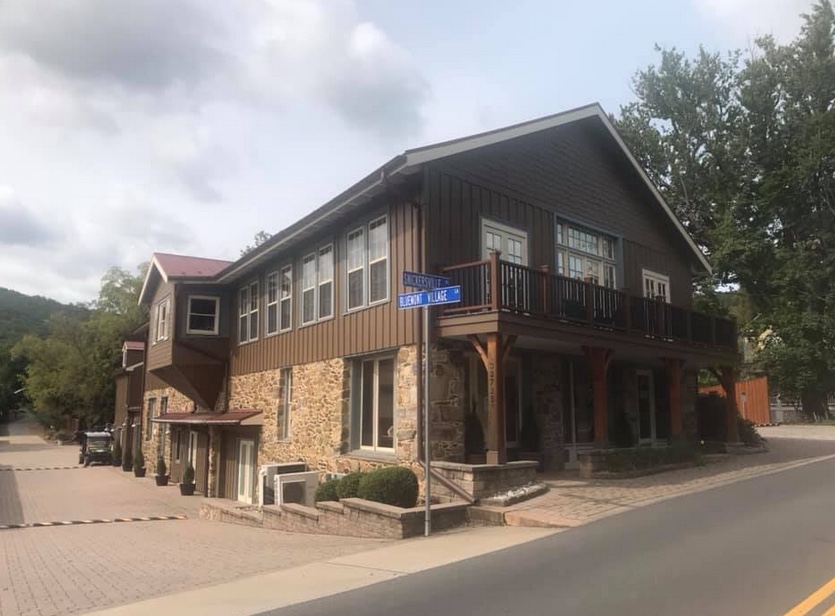
Bluemont, Va.

Passing through Bluemont, it appeared to me that some new construction has taken place since the last time I rode through here. There was a building on the left and then I saw the E. E. Lake General Store. Apparently it is a welcome center but has the old General Store facade.
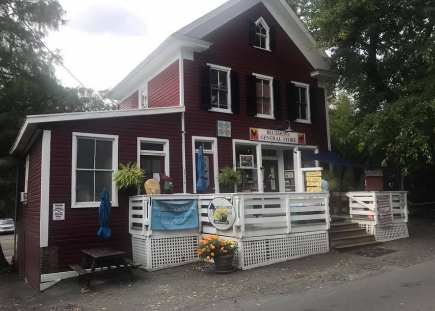
General Store, Bluemont, Va.

The climbs were pretty much as I remembered them. Moderately hard. There is a steep climb out of Bluemont on Snickersville Turnpike. It has a 180° switchback at the top and is flat over to Rte. 7. Rte 7 has a wide should as it climbs to the top of the pass. This is the easiest of the three sections here. And turning on Blue Ridge Mountain Road is a pretty steep climb with no end in sight. I still don’t know where it finally ends and dips down.
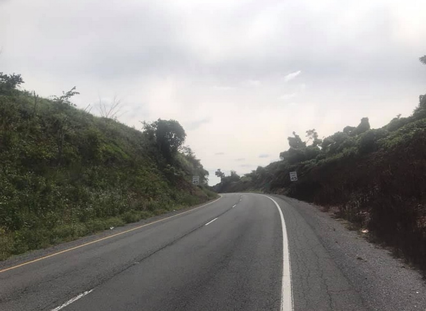
Ashbys Gap, US Rte 50, Paris, Va.

The ride off the mountain is nice. When I got to U.S. 50 I found it was too windy to descend without braking. That may have been the first time I rode here using brakes. But there were cross-wind gusts hitting me making it hard to control the bike.
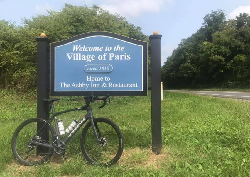
Paris, Va.

Once on Leeds Manor Road I expected and received, a Live Segment for Naked Mountain. Once it starts the Wahoo displays the elapsed time, a contour map of the climb, your estimated time, and your PR time. My PR coming in was 9:06. Today I went through in 7:44.
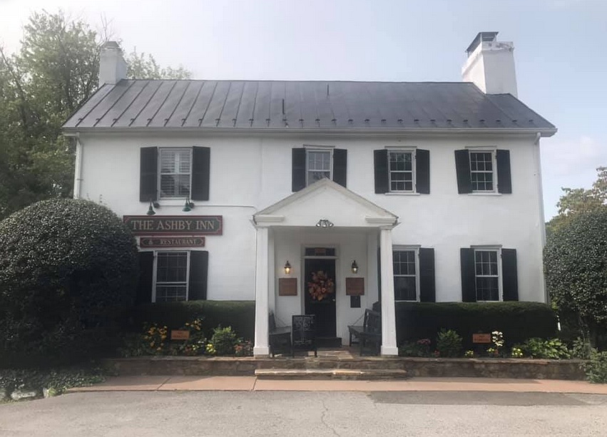
Ashby Inn, Paris, Va.

There is pavement on this road but it is rough. I wanted to descend faster but didn’t trust the pavement. Rounding a corner on a downhill the road turned up and a GO! appeared. This was for Naked Mountain Winery. It’s a short climb but I had no legs. Pretty much left everything I had a few minutes ago on the Naked Mountain climb. Wahoo disagreed. My old PR was 2:21 and I lowered it today to 1:41. I would like to see what I could do when I didn’t fight the winds.
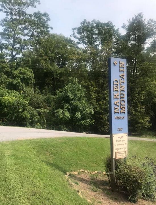
Naked Mountain Winery

The last 10 miles from Markham I had great pavement and crappy pavement. I thought I had a tailwind but my speed was only 16 mph – the same as the first 20 miles into the wind. Maybe my legs were fried at this point.

I wanted to beat four hours and came in at 3:47. Goal accomplished. It was a good solo ride fighting the winds. Wish I could do better but Strava thinks I had a good day.
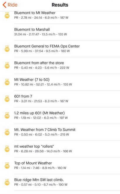
Strava PRs


Distance: 55.2 miles
Time: 3:45
Average: 14.7 mph
Weight: 180
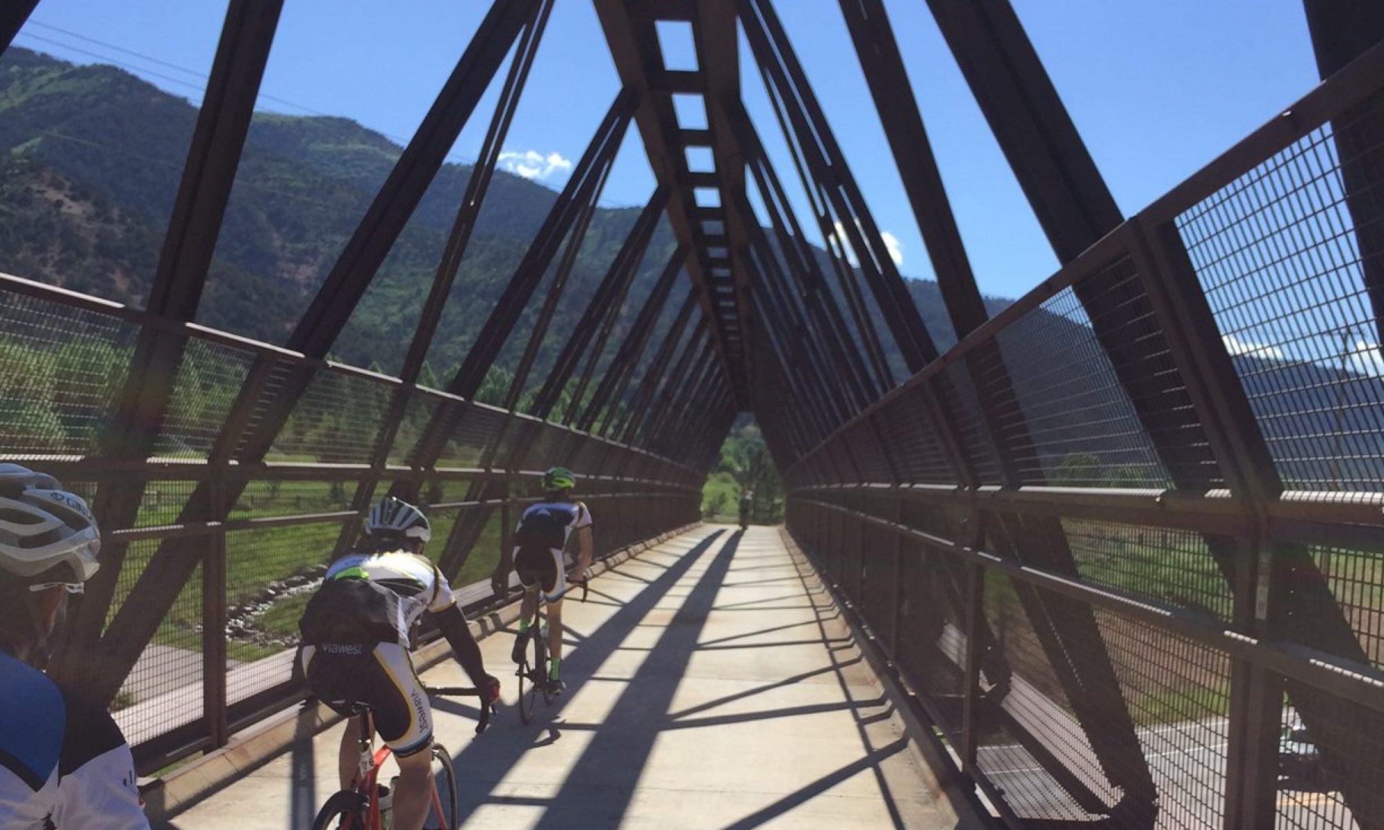
Easter Ride

RANSON, WEST VIRGINIA

Listening to the weather forecast this morning they determined that no prior Easter in Washington, D.C. had ever reached 80 degrees. Today it would. Of course, this was also the latest Easter in recent memory. It was a beautiful day for a ride and to try my new route to Charles Town.

The middle portion of my trip would remain unchanged — that from Aldie to Airmont via Snickersville Turnpike. But those 11 miles would be the only constant. 

Snickersville Turnpike

I had determined that from Airmont to Charles Town was about the same distance whether I cross on Va. 9 at Keyes Gap or took Va. 7 over Snickers Gap. But traffic, not distance, should be the determining factor in finding the best way.

I’m not sure how many times I have crossed on Rte. 9, less than 10, but it’s never a fun proposition. Entering just west of Hillsboro, Rte. 9 is two-lane, 55 mph, with no shoulder, sharp curves, and a two mile climb, although only the second mile is where the road kicks up.

Bluemont, Virginia

My maps showed that if I stayed on Snickersville Turnpike and crossed the mountain at Va. Rte 7 it would be much safer. One doesn’t need to actually get on Rte. 7, which is a major four-lane road over the mountain, until about 1 kilometer, or 0.6 miles, from the top. Plus there is a decent size shoulder, although I wouldn’t necessarily call it real wide. But I knew I didn’t have to ride on Rte 7 except for that mile going over the top and then just over one mile (two kilometers), where I would cross the Shenandoah River.

Snickersville Turnpike

At the southern end of the trip, I had taken the Prince William Parkway to Rte 234/Sudley Road past the Manassas Battlefield to Gum Springs Road. Following Gum Springs I took Braddock Road, which in these sections, is a very rough unpaved road for more than two miles. It connected with U.S. 15 for one mile and U.S. 50 for another 1.7 miles. My goal was to avoid these two major U.S. routes, both of which were two lanes and neither of which had much of a shoulder.

I headed down Bristow Rd which is a two-lane road with no shoulder but most drivers are pretty good about respecting cyclists on this road. It turns into Linton Hall Road which was the only part of the route I did not like. Four lanes, it is curb-to-curb with no shoulder, a 45 mph speed limit which meant most cars were doing 55 mph. The total distance on this portion was 10 kilometers (6 miles).

It was a short trip through Haymarket to Antioch Road at which time I stopped to call home and then was met by another cyclist, “Kenny.” We chatted as we rode off together. It was fun for a while but then I soon realized I was near the red zone. He was setting a pretty fast pace and I was struggling to stay on his wheel. I enjoyed his companionship but was relieved when he turned to ride up Ridge Road. 

The Yellow House on Snickersville near Bluemont

With just one missed turn, I made my way to Aldie and Snickersville Turnpike. The day was gorgeous and the spring blossoms were on the trees. Snickersville is a roller coaster and for every screamin’ downhill section, you pay on the other side with a climb. It softened up the legs for sure.

I stopped at the general store in Bluemont and surveyed the dark clouds on the mountain. I knew I’d be getting wet sometime. Some things you can’t avoid.

Bluemont General Store

With temperatures in the 80s, I really didn’t mind the rain at the top of the mountain and as quickly it came it seemed to leave – or I left it. At the bottom of the hill, I crossed the Shenandoah River and turned on Casselman Road. I followed the Shenandoah River briefly then turned and was surprised to find my route turned to dirt. A gravel road. Oh well. It was 2.5 miles (4 km) over the dirt before I was on Wickcliffe Rd. 

Gravel. I am not a fan.

I came to Kabletown Road and followed this to Old Cave Road to Charles Town. But I saw lightning in the distance. Dark clouds were looming ahead and I knew I was going into it. Again. I looked for shelter but found none and rode through about 10 minutes of the worst of it. Lightning followed by an almost immediate crack of thunder. It was scary.

Bluemont General Store

I was drenched, but I was safe, I made it to Charles Town.

On the day it was an 80 mile ride which was a bit longer than the old route but almost all of it, more than 10 km (6 miles) is because of the Haymarket portion. I traded a couple of miles of dirt roads on Braddock Road for faster traffic on Linton Hall Road. I need to think if that’s a fair tradeoff.

The climb on Rte 7 is more formidable than the mountain crossing on Rte 9 and is safer too so this way is definitely in the books as the route to follow. I have to look for more paved roads and less dirt in Clarke Co., Va. but those 2.5 miles weren’t that bad.

Even with the thunderstorm, it was a great day on the bike.


A Group of One

MARSHALL, VIRGINIA

It is April but unseasonably hot. In Frederick, Md., the temperature reached 97º (36º C). It wasn’t much cooler in the Blue Ridge.

This was advertised as a BB/B pace ride. While I often ride at a BB pace the problem with a BB ride is that some A riders jump in and ramp up the pace.

We left Marshall, Va. at 9:35 a.m. I was already hanging back adjusting my heart rate monitor. When we got to the open road I sat in behind five riders. The pace seemed slow — too slow, and when I got a chance I decided I was going to bridge up to the first group. Two groups had already formed and I wanted to ride with the faster group that was already about a half-mile ahead. I took off on my solo venture.

For the next five minutes, I could see the front group about 1/4 mile in front of me. So we had the BB Group followed by me a quarter mile back and then the B Group, another quarter mile behind. I truly was in cyclists’ terms, in no-man’s land.

During this time one thinks about the effort necessary to bridge up to the lead group and, once one reaches them, how tired they will be. But I was determined and I thought I was closing the gap. I also thought it might take 10-15 minutes before I could fully bridge to them.

I had gone a couple of miles when I crested a small ridge and began descending. When I reached the bottom of the descent I could see the road ahead for a half-mile and could not see the BBs. My first thought — the right one — was that they could not have added more time on me.

I sat up and pulled out my cue sheet for the ride. I had blown right by the first turn. Oops! A major oops!

After actually reviewing the cue sheet I decided to turn back and go back up the hill to the first turn. I had gone at least a half-mile and knew that going an extra mile would put me behind the B Group. And no one would know. If anything happened I was on my own.

I knew not to panic and not to try to put the hammer down to reach the B Group. I just wanted to ride at a steady pace. Of course, the quitter in me said turn around and go back while the finisher in me said to keep going and I would catch them. It might be in a mile, five miles, or ten, but eventually, I should catch them.

And thus began my long lonely journey of the 56-mile Blue Ridge Ramble.

I went out to Markham and turned on Leeds Manor Road. This would take me over Naked Mountain. The ride up the hill was a little more formidable than I expected. There were long stretches of 10%-12% grade, even kicking up past 14%. I just rode a steady rhythm and kept drinking. And eating Sports Beans (by Jelly Belly).

The descent off the east side was nice; my first 40+ mph speed of the day. I could have gone faster but the pavement was very rough. I rode the shoulder on US 17 to Paris, Va. In Paris, I asked a woman who was walking if a group of cyclists came by. She said they did. When I asked how far they were ahead she told me she saw them when she was down by the stop sign. “So however long it took me to walk from the stop sign to here.”

Yea. Helpful. At least I knew they were ahead which, of course, they had to be.

I then began the climb up US 50 (no shoulder!!!) to Clark’s Gap and then up Mount Weather. I had three water bottles with me and was trying to ration them to the store at Bluemont. Actually, I was trying to ration them to the top of the climb and figured I could do without water on the descent to Bluemont. I knew I would connect with the group at Bluemont.

Around mile 26 I was on top of Mount Weather. After a couple of miles or so of “rollers” up ahead I saw one of our riders, Klara Vraday. I had pretty much forgotten I was on a group ride and was just enjoying a solo venture. I quickly gained on her and surprised her when I said “I bet you thought you were the last rider.” I had ridden 28 miles solo.

We would have stayed together but just as soon as I caught her there was a screaming descent coming up and I wanted to bomb it. I hit 48 mph going down to Rte 7 but it does go down to Rte 7. Rather than go for 50 mph, which I wanted to do, I thought the prudent thing would be to apply brakes.

I stopped the Garmin timer waiting for Klara then forgot to restart it when I started the descent down to Bluemont. It cost me at least a mile in recorded distance and killed my average speed because I was flying down the mountain. And Garmin simply drew a straight line from where I turned it off to where I restarted it. How would it know?

We stopped in Bluemont, refueled and hydrated, and took off for Marshall. There were six of us together to cover the last 25 miles. We were still on Snickersville Turnpike when we dropped Klara. I announced this to the group then dropped back with her and brought her back to the group. This happened a second time and I did the same. The third time it happened I told the group to go on and I would shepherd Klara back to the start. She was having problems dealing with the heat and was really annoyed because those were her friends who dropped her and a stranger was the one who dropped back to escort her back.

This was a good training ride. The heat took its toll but it’s good to train in these conditions. It must make me stronger. At least I hope so.

It’s missing one mile at Snickers Gap but did record the high speed of 48 mph. And check out the elevation map. 


Verified by MonsterInsights