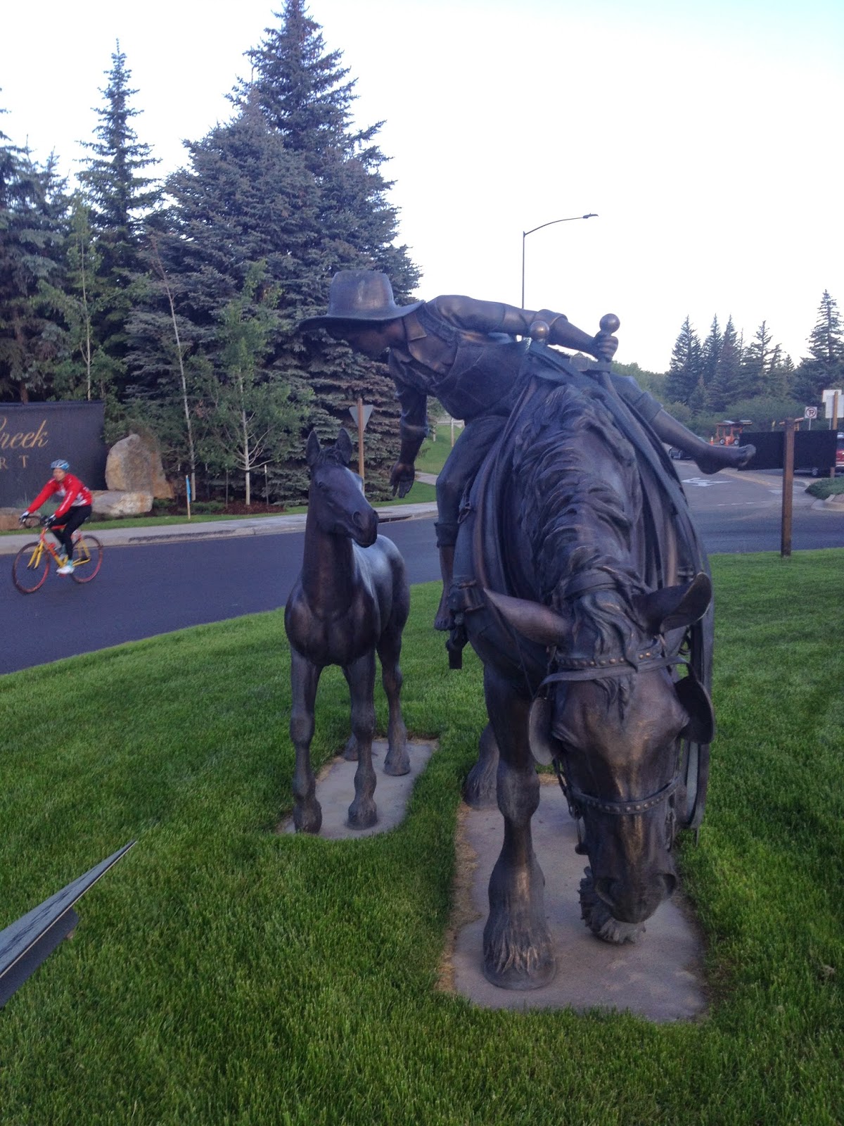
BRECKENRIDGE, COLORADO
DAY 5 – RIDE THE ROCKIES
AVON TO BRECKENRIDGE
Leaving the Comfort Inn I found myself with Mike, an amputee who ride with one arm. Mike is apparently a legend in Denver cycling. He is a strong climber. We stayed together for about a quarter of a mile when we got to the traffic circle and I peeled off to take a photo. This would save face much easier then actually being, you know, dropped.
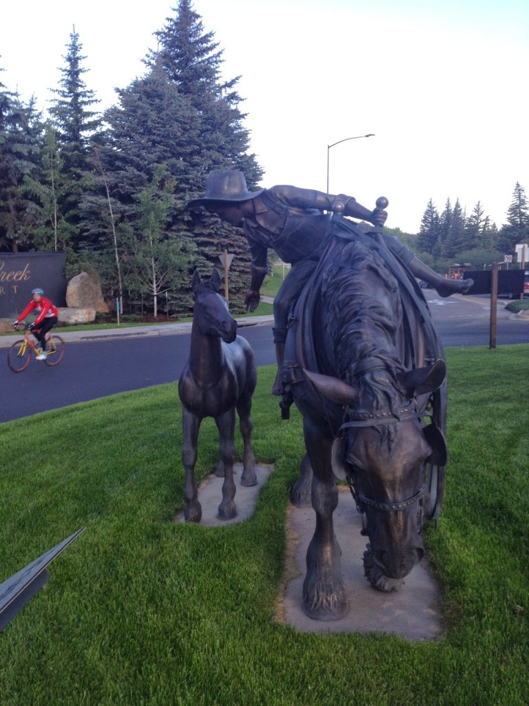 |
| Avon CO |
It was a 16 mile climb to the first pass, Battle Mountain (9,231′) but only the real climb was the last four miles. My legs felt good on the climb and I passed way people more than passed me. I even reached the top then descended back a little to try to get a good photo op.
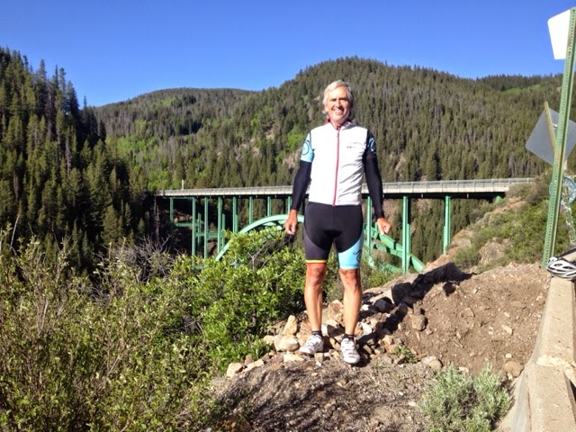
Descending to Red Cliff Bridge I had a little too much speed coming on it to stop to take a photo before the bridge. But at the bridge is a road that descends along the edge of the gorge to the town of Red Cliff. I told the volunteer standing there “I bet there’s a photo op waiting down that road.” I went down it a few hundred yards and when I was down he came down to shoot me too. Right after the bridge was Aid Station #1. I kept going.
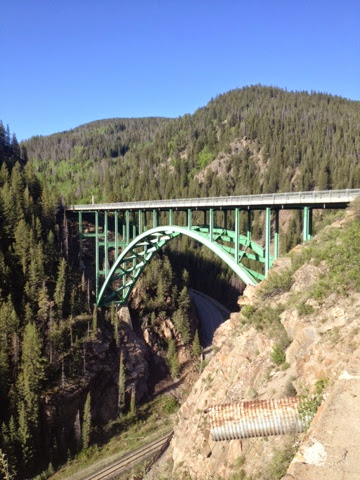 |
| Red Cliff Bridge |
After the aid station was 12 more miles of climb to Tennessee Pass (10,424′) and the winds picked up significantly. We seemed to be creeping down in the valley and I stopped at a “Point of Interest” which was a World War II Winter Training Camp for the U.S. Army.
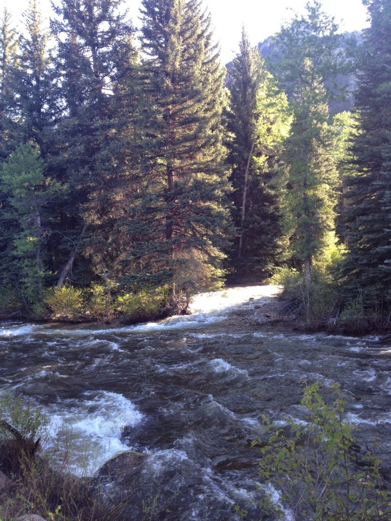 |
| Eagle River near Avon |
Seeing the sign for the summit the road kicked up significantly. Like the first climb, my legs felt pretty good. I passed a woman I thought was Lisa Smith, who I had met earlier, but it wasn’t. She was struggling a little and I encouraged her with “one mile to go.”
Then with about 1/2 mile to go the real Lisa caught me. I thought she’d blow right by me, she is a tremendous climber, but we stayed together until the summit. I stopped to use the porta-john and visit the Davis Phinney Foundation. Lisa kept on going.
 |
| Lisa Smith |
Ringing cow bells were two kids dressed as chickens. And I have seen them on the USA Pro Cycling Challenge. So I grabbed a photo with them then after rest stop. Then it was off for Leadville.
 |
| Barry and Two Cute Chicks |
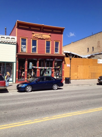
We were promised an 11 mile downhill. It wasn’t. But it was mostly easy pedaling. As I came upon a T and a turn to the left I saw signs for Leadville to the right. After talking with a State Highway Patrolman, he encouraged me to ride into town. He told me how rough a place it was. Gambling, drinking. “Still is,” he said.
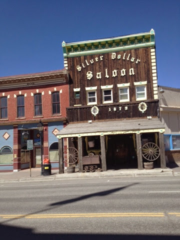 |
| Leadville |
I met two local cyclists and told them I had five minutes to see Leadville. I asked them what I should do. They told me to turn around. They called it Deadville. But I continued on and was glad I did.
 |
| Leadville |
I was leaving the rest stop when Roger and Jeanie Schultz pulled in. I told them their friend, Lisa, was well up the road.
It was 11 miles to the summit of Freemont Pass (11,318′). It seemed to be a long 11 miles and the first five miles was flat or trended downhill. Or I was seeing things. My legs no longer felt so good. Still, I worked my way past more people than passed me then saw a sign for the summit in four miles. The road kicked up in grade, a lot of 4-5% grade.
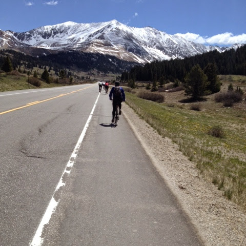 |
| Climbing towards Freemont Pass |
I passed a young lady riding a road bike with a straight handlebar. Or maybe she was on a mountain bike with skinny tires. She was easy to remember. I was struggling somewhat and about two miles from the summit she passed me.
As she passed I had no response – not that this was a race and I had to match her. She continued on. So too did a doctor I had passed earlier. He had a tag which stated MD and I thought he was from Maryland. Duh!
The last mile and one half or so before the big switchback features a long straight section which, to my eyes, looked like it was going downhill. My legs didn’t think so and my Garmin confirmed it was 3-4 % grade. That was followed by a sharp left hander and one could see the cyclists struggling up the road ahead to the summit.
Rounding the corner the road kicked up to 6-7%, maybe more. And I soon passed the doctor. And because she was identifiable, the girl on the straight handlebar bike, my goal was to pass her. She was 200 yards, then 150, then 100 yards from me. I picked up my pace and with 150 yards before the summit I went flying by. Dignity remained intact.
 |
| Summit of Freemont Pass, aka Climax, Colorado |
At the top was Aid Station #4, this one featuring the Ride the Rockies DJ. I bought a brat and sat down by an old mine train to eat it. It was the first time I bought food on course.This was also the best weather we would have all day. In the 70s at the 11,000′ summit.
 |
| The Official Summit Sign |
The descent wasn’t necessarily steep at the top. In fact, there were a couple of slight uphill sections before the real descent began. Frustrated because I had not gone more than 45 mph on this tour, I was glad to have open road. Most cyclists were riding the shoulder and I moved into the travel lane which was smoother and absent road dirt and sand. I did not want to risk an accident moving at speed from shoulder to lane.
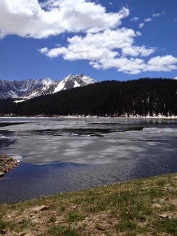 |
| Ice on the lake at the top of Freemont Pass |
I’m not sure what it was signed – maybe seven miles at 7% – but I got in a tuck and kept picking up speed. When I saw 52 mph I thought that was fast enough. I feathered the brakes a little to keep it near 50 mph.
I FLEW by riders on their descent. I’m sure all were surprised and I’d like to be riding about 35 mph when someone is going 52 mph just to see how it looks. When passing I always moved more to the center of the lane even though they were on the shoulders.
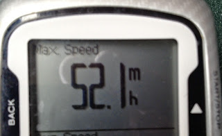 |
| 52.1 mph |
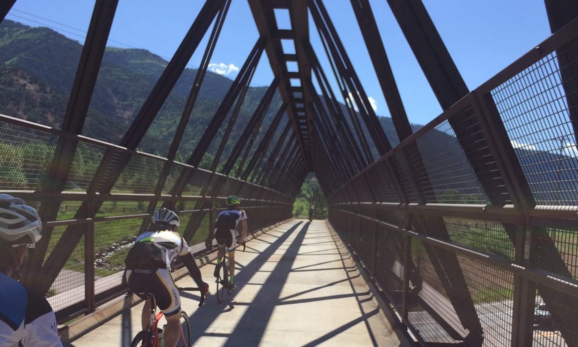
At the bottom the road intersected with I-70. But there is a separate bike road (more than a path, really), in which we rode downhill to Frisco. This was a great path alongside the river with many beaver dams, a few flooding our roadway.
 |
| Flooded path from beaver dams on both side |
With just seven miles to go (I think it was longer), I blew by the last aid station and continued to Breckenridge. The trail became dead flat. And windy. This was my hardest section of the day. But we made it to the bike corral and got directions to the Doubletree Hotel.
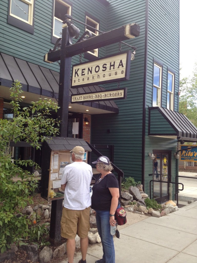
At dinner I walked through town and chose the Kenosha Steakhouse which has a patio overlooking the Blue River in back. The waiter asked if I wanted to sit out on the deck and I told him I had been fighting the wind enough today. I’d stay inside.
