SÖRENBERG, SWITZERLAND
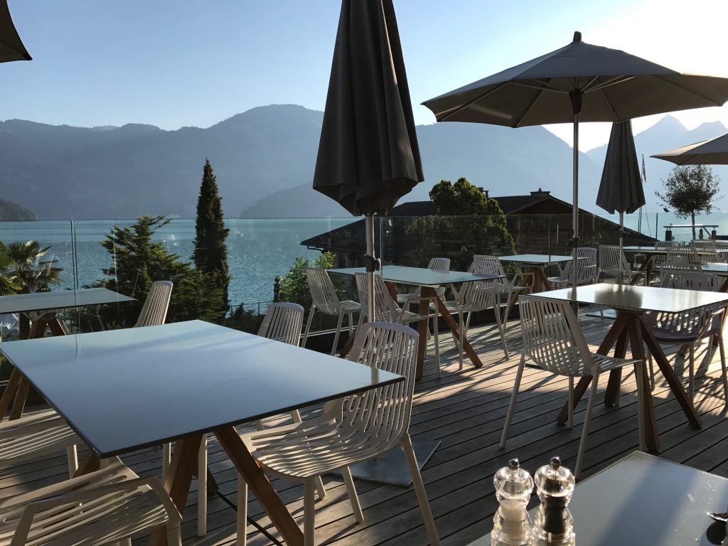
The day started with breakfast at the Seerausch Hotel in Beckenreid. It was the first hotel where they had a full buffet including eggs. So good but the view of Lake Lucerne was better.
The Panoramic Alpine Route 4 would quickly take a lakefront road. There standing in the grass close to the lake was a topless woman talking to another woman. She was probably getting ready to catch some rays. I wanted to stop there for a photo of the lake but that would have been creepy in any language. So I went about 500 meters farther.
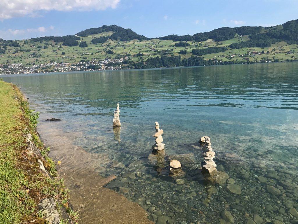
The water of the lake is clear. The morning was perfect, about 68° (20° C).
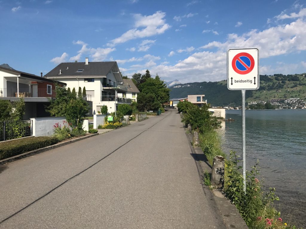
I would follow the Blue Route 4 signs where I could find them and rely on my Garmin as a backup. And I would need them.
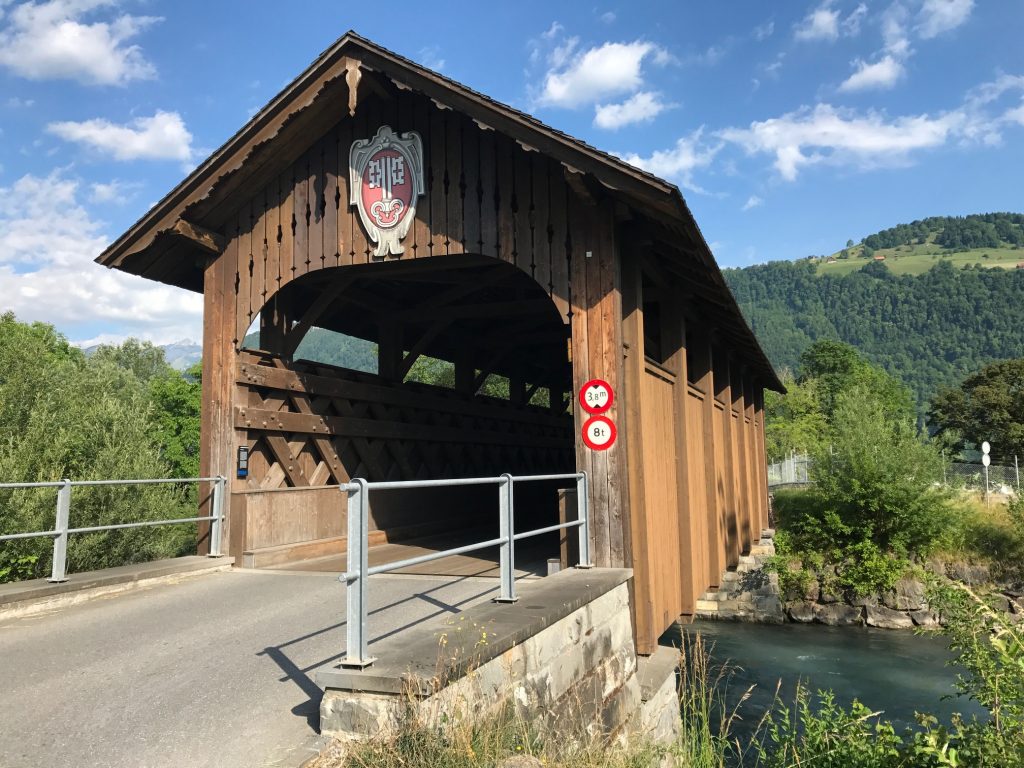
A real surprise was coming to a covered bridge. I couldn’t tell when it was built…
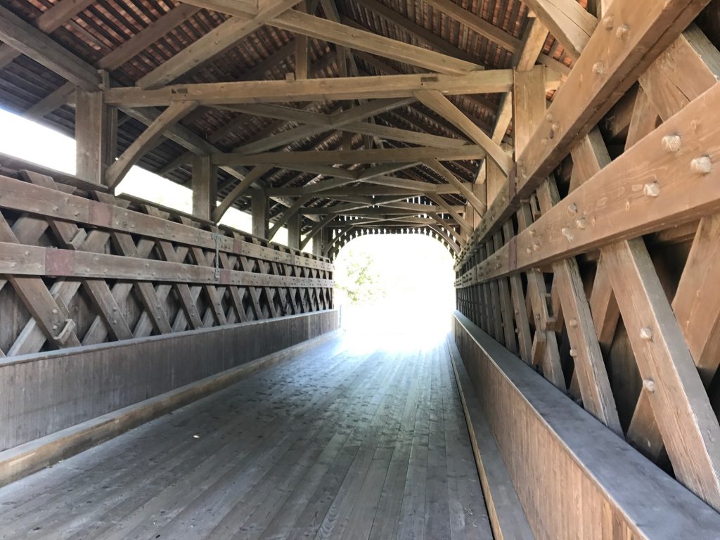
…but it sure had sweet decking (floor).
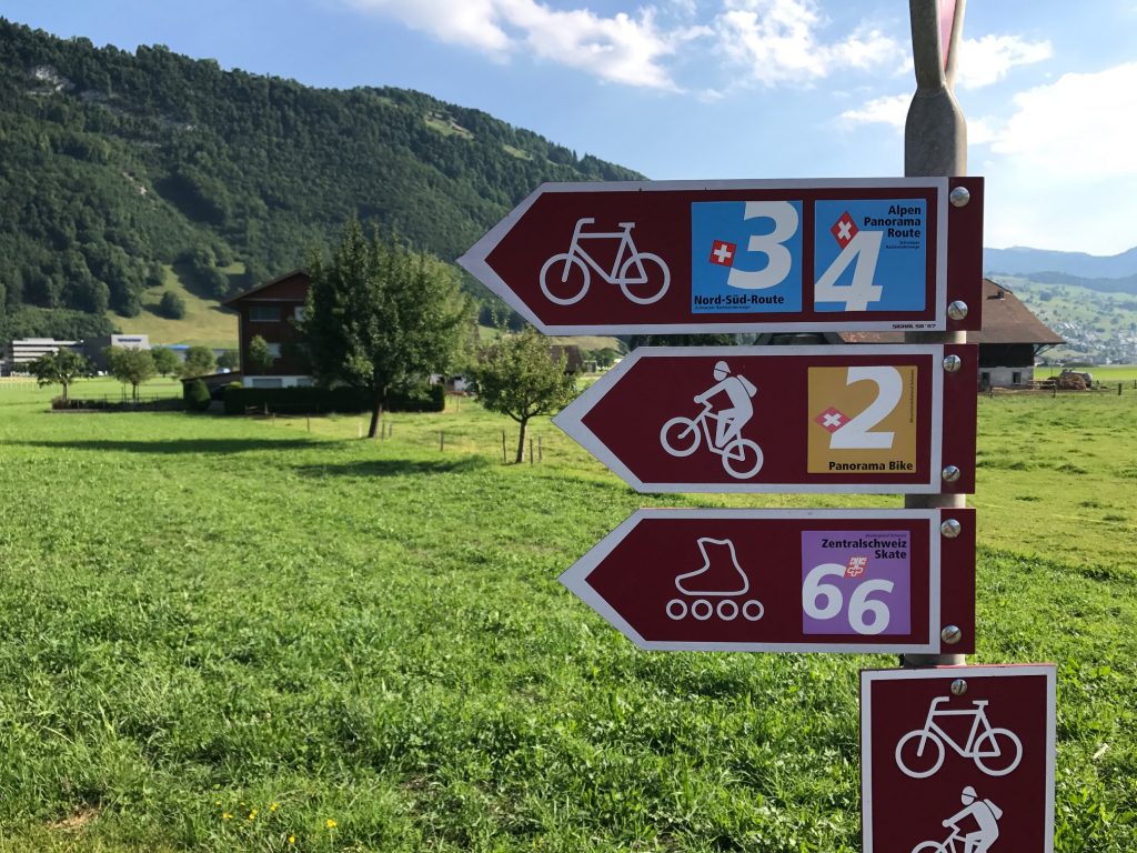
The first direction decision came at a culvert. There was a sign and I thought I followed it correctly but it took me in this 100-meter loop under the road I was just on.
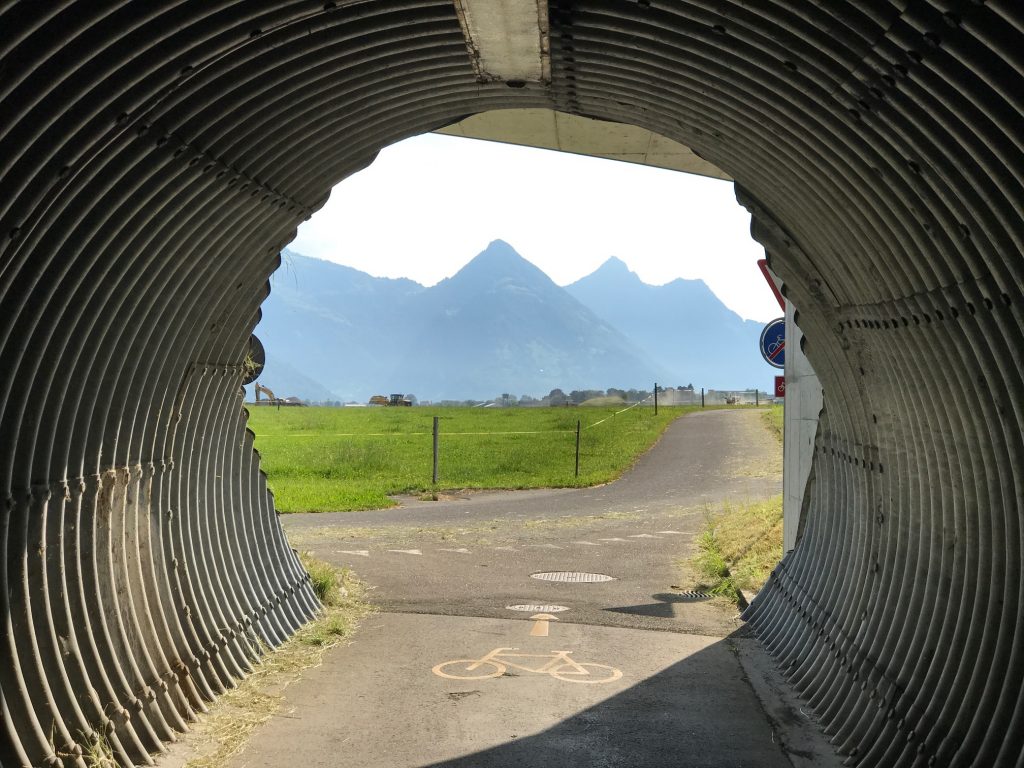
I didn’t mind it one bit because it gave me a unique view of the mountains.
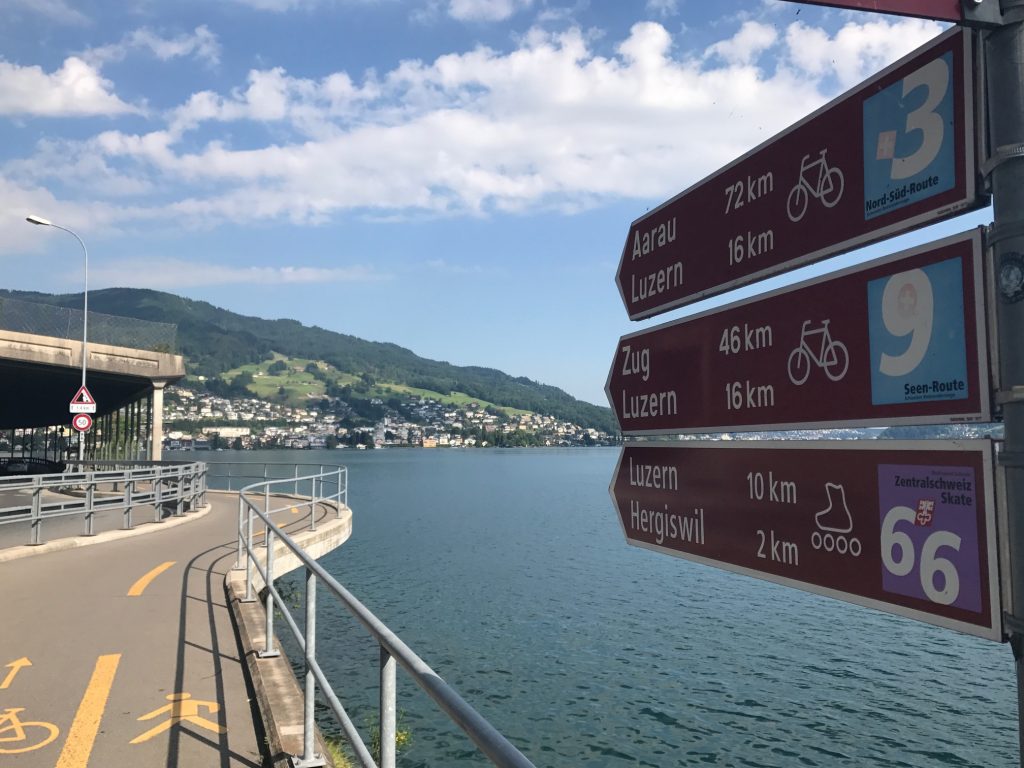
I got off course a bit in the little town of Stansstad. I did a two-block loop, looked closer at the signs, compared to Garmin, corrected it then kept going.
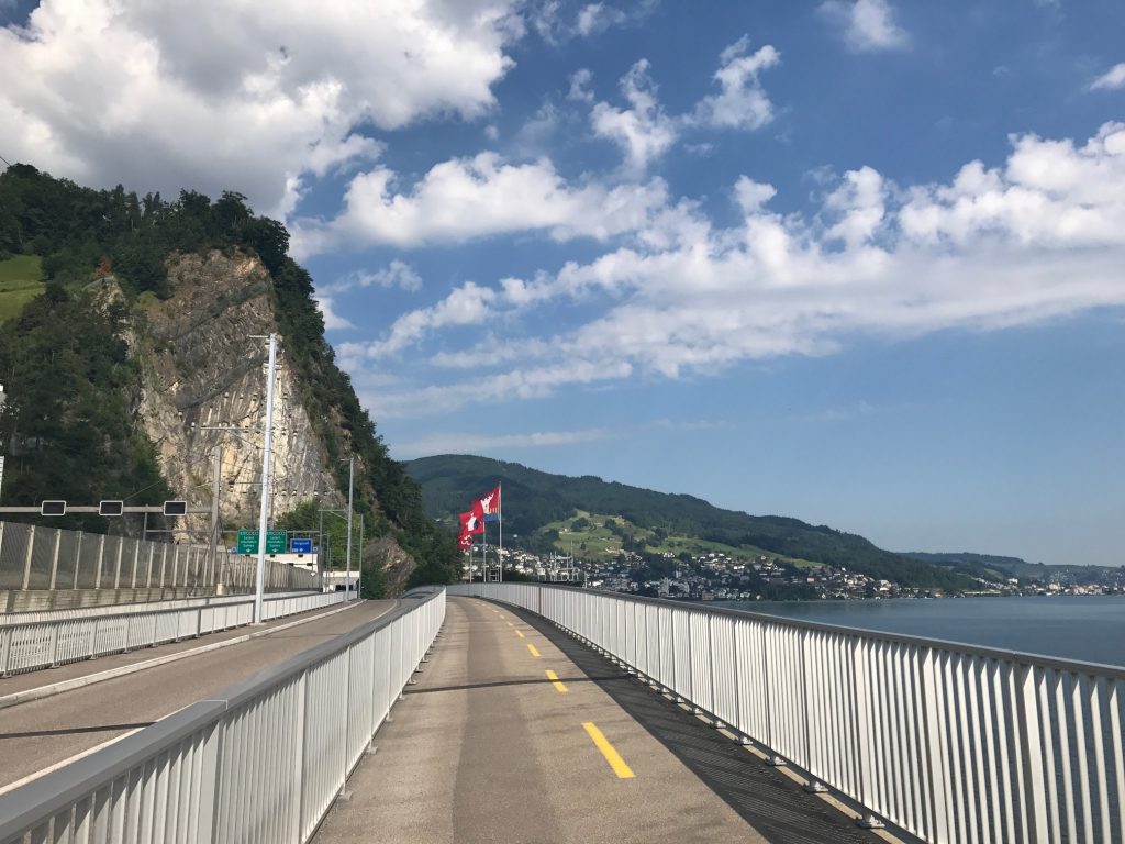
I crossed a bridge then followed Rte 4 on a lake road to Alpnachstad.
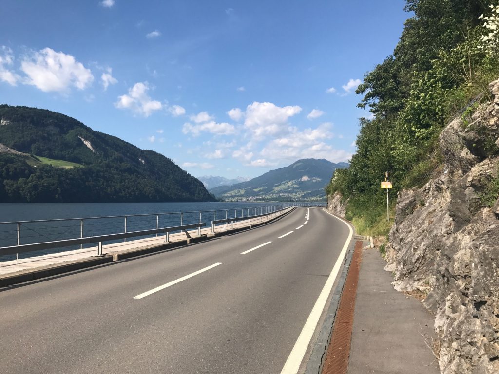
I followed the road next to the lake. There was a “sidewalk” which was really a boardwalk.
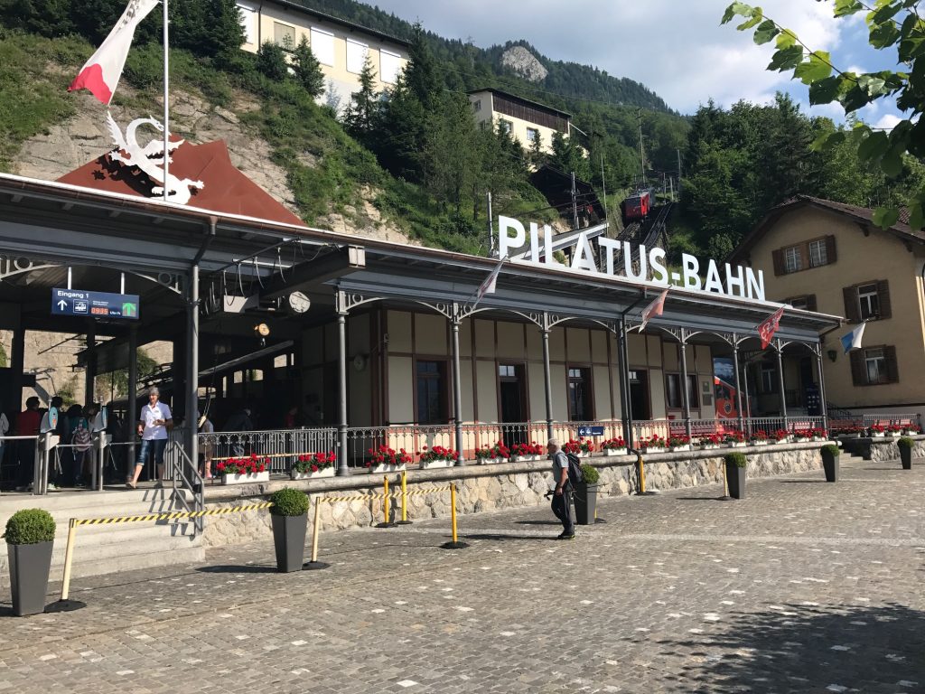
I was expecting about a 30 km (19 mile) easy cruising ride this morning and that is what I got. Cobbles. But for a short ride.
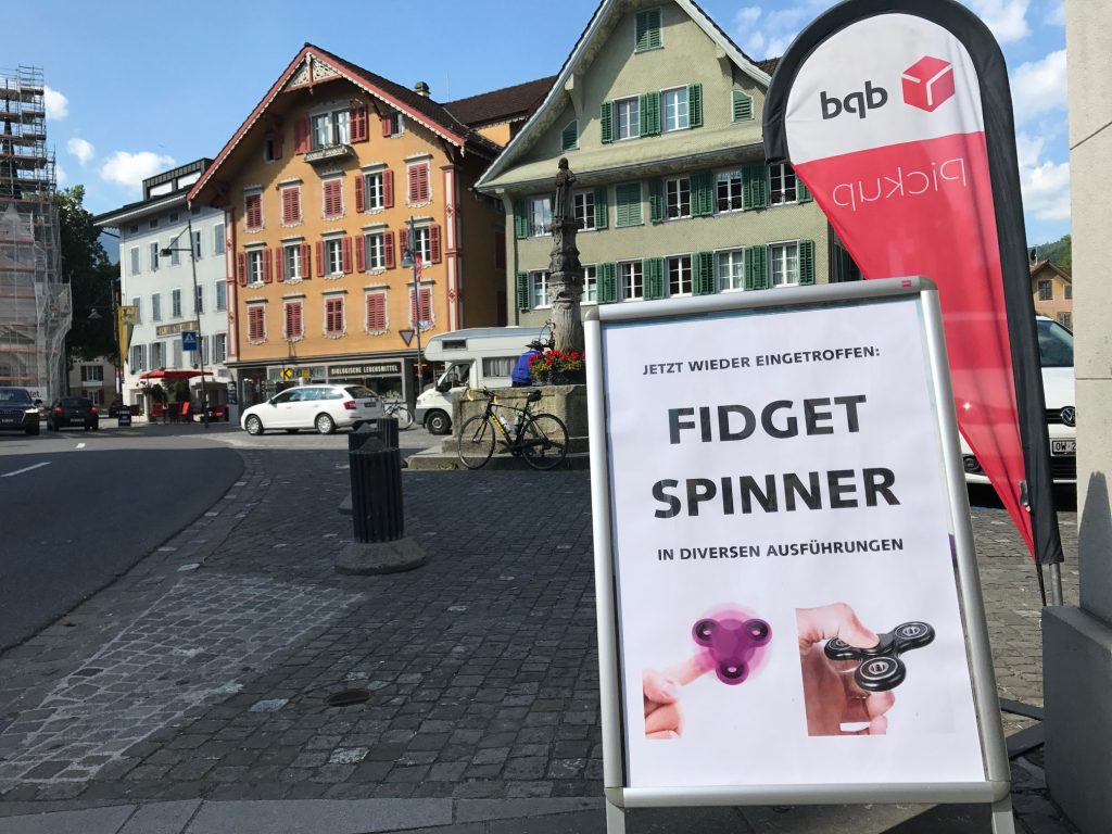
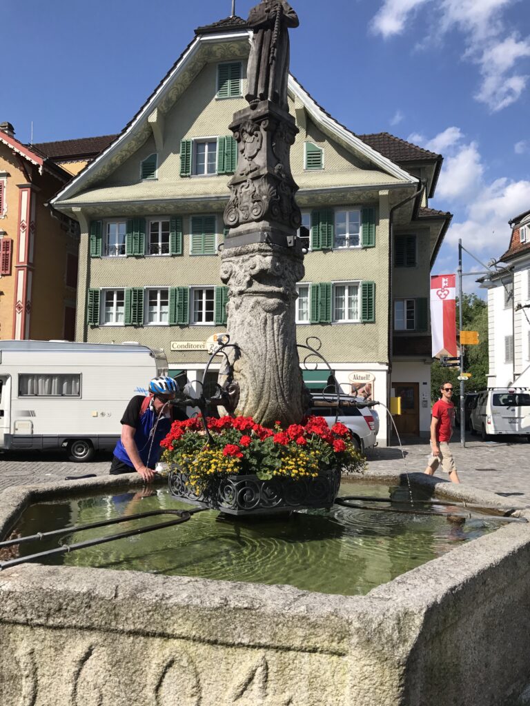
The town of Saren is beautiful. In the center was freshwater, which I would need. And the fad of 2017, Fidget Spinners, is global.
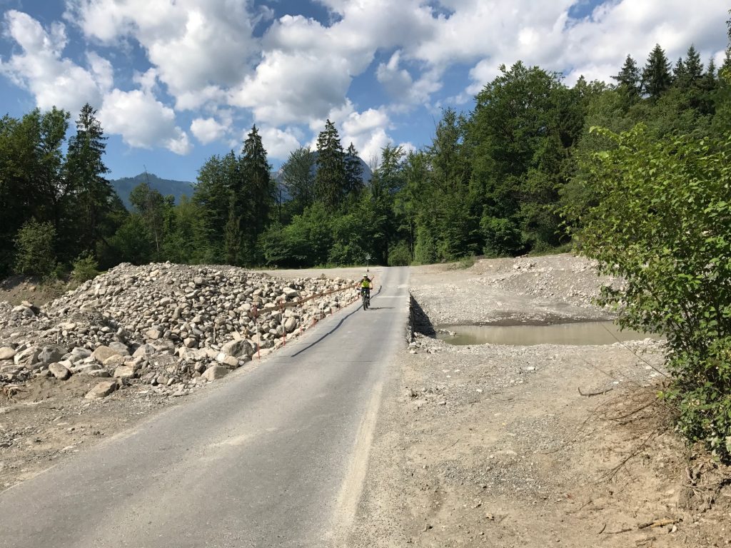
On my way out I entered a forested area then crossed what appeared to be a stream project. Had I looked to the right, and maybe I did, I would have seen what I was in store for.
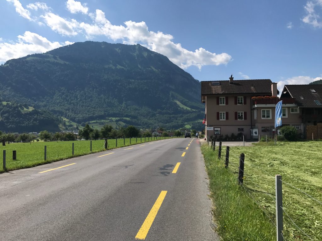
Along the lake, I was back on a highway. Some roads have bike lanes which is really one meter to the right. The lines presumably make the drivers aware that we are there.
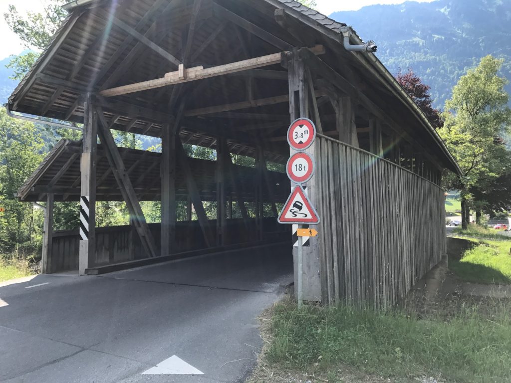
At Giswil I came to a second covered bridge. It’s not quite Bedford Co., Pa., but I was a happy camper. Or rider. I love my covered bridges.
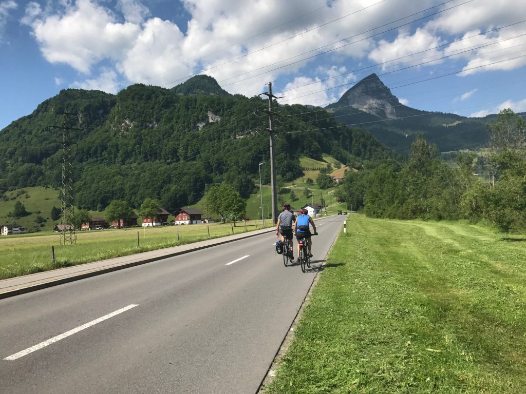
Leaving Giswil, I uncharacteristically made a good biking decision. I stopped for a photo then jumped in behind two riders who looked like they were riding the Alpine route.
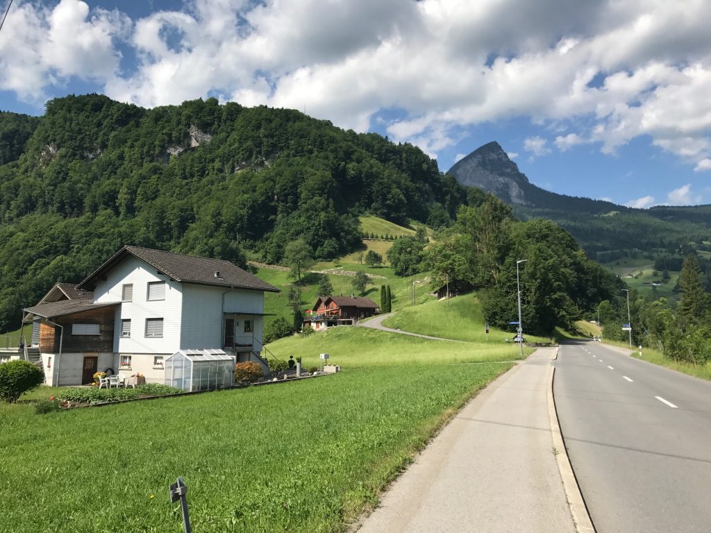
Ahead I could see a road climbing, steeply, to the left. I knew I had a left turn coming up. They turned and the one guy turned back. I passed him and started climbing. It was steep.
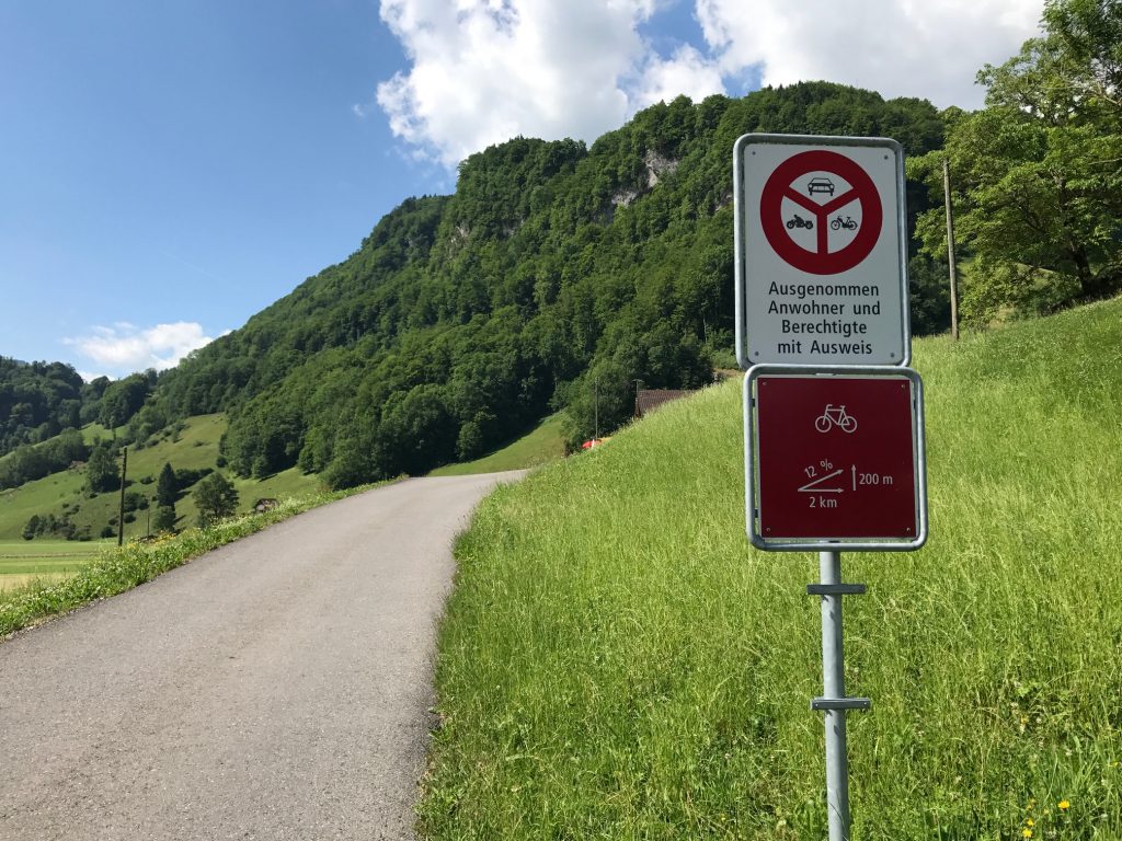
I checked Garmin and it said I was “Off Course.” Well, sometimes one can be 10 meters off and it says I’m off so I was going to ignore it. I started climbing higher and could see I was going away from the route I mapped.
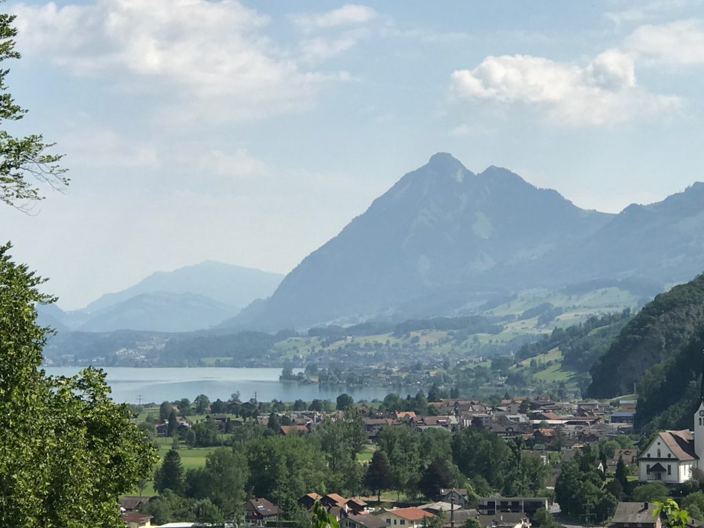
The two men had stopped already and I asked (MAJOR LANGUAGE BARRIER – not sure they were German-speaking) if this was Route 4 (I held up four fingers). They said it was.
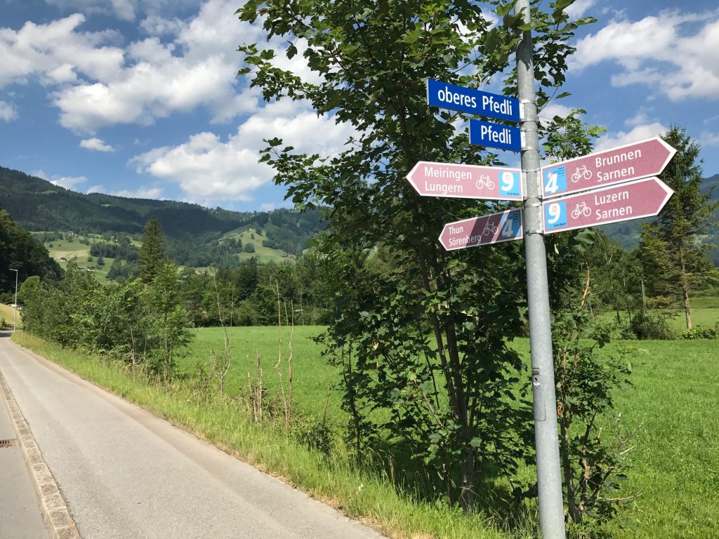
I thought back to the turn. There was a sign but I didn’t look. The thought of going back down those steep 400 meters to check the sign then climb it again disturbed me but not more than taking the wrong route. I grabbed a quick photo and went back down.
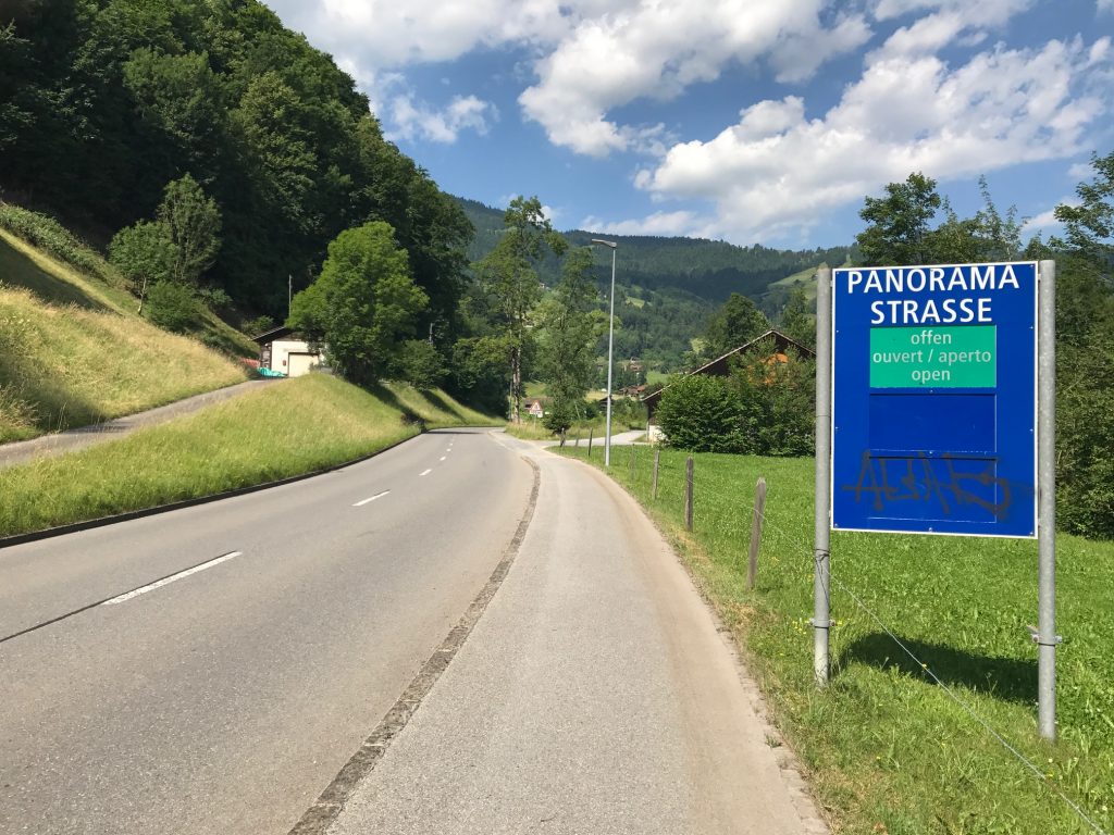
I was glad I checked. I was right. Rte 4 continued straight for another 400 meters before turning onto Panorama Strasse.
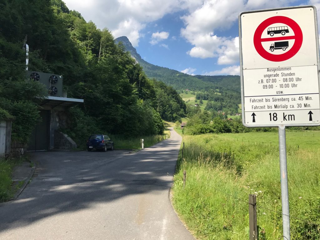
This road was mostly a one-lane road. Two cars could not pass. But there were some sections every 400-500 meters or so where a car could pull over to let one pass in the opposite direction.
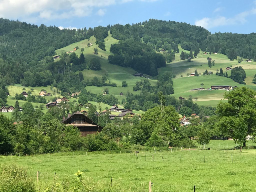
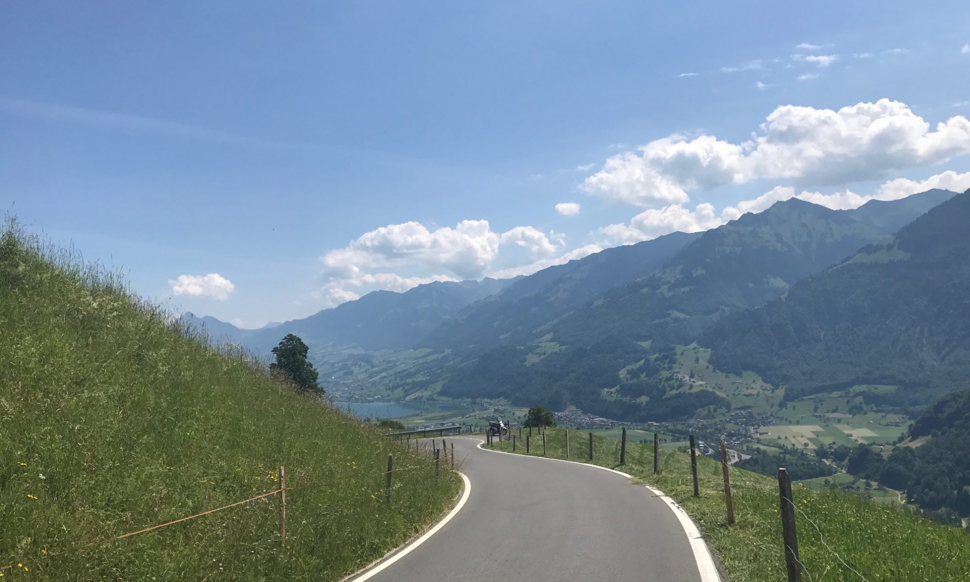
I looked up and figured I would pass by every house on the mountain. I was right.
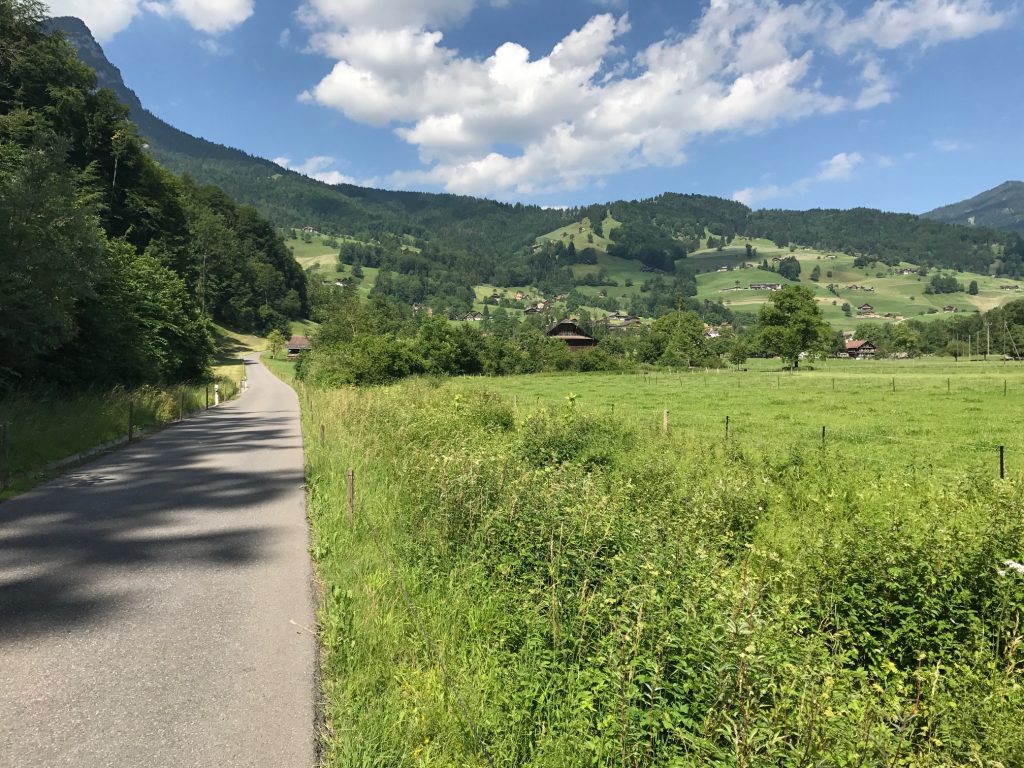
There was room for a car and a bike but only inches between a bus (city) and this bike. Thank you bus.
I was sweating profusely. On the lower slopes were simply farms and no trees. I was exposed to the blazing sun.
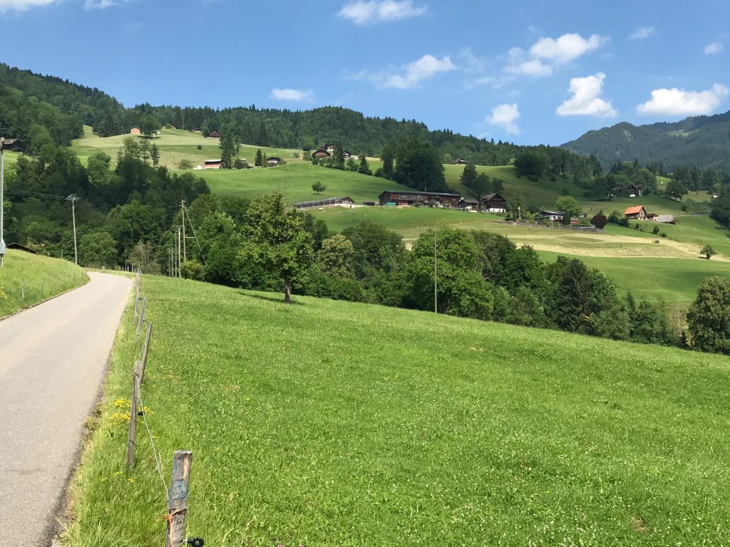
The climb was 11.8 kilometers (7.3 miles). Much of the way the grind was 8-9%.
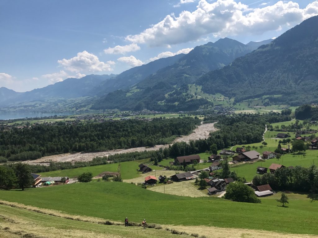
In my mind, I had calculated the climb to be 11 kilometers but as I watched Garmin I had a math error. I was off by one kilometer. It’s tough when you think you’re at the summit but you’re not.
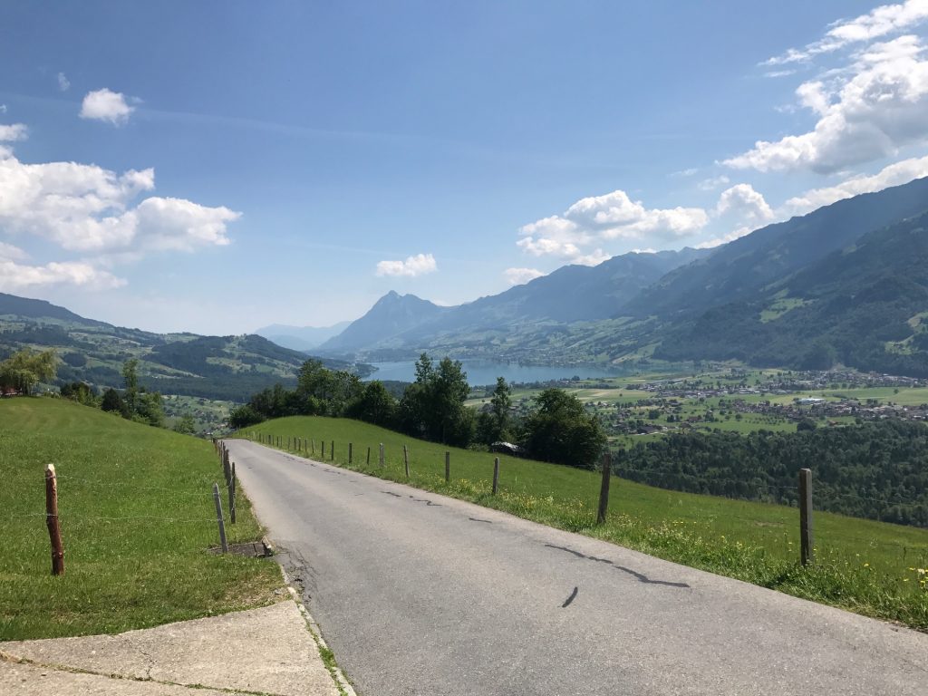
Somewhere, and I have no idea where the open section gave way to forest. It was a welcome relief from the sun.
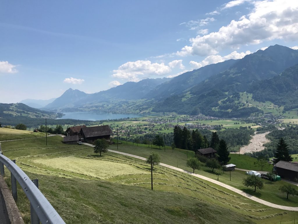
In the forested section, the Garmin showed higher gradients. It was registering 11-12% and even up to 18% (which I know it wasn’t – my body knows 18%). It wasn’t that steep. Long, yes. Steep, no.
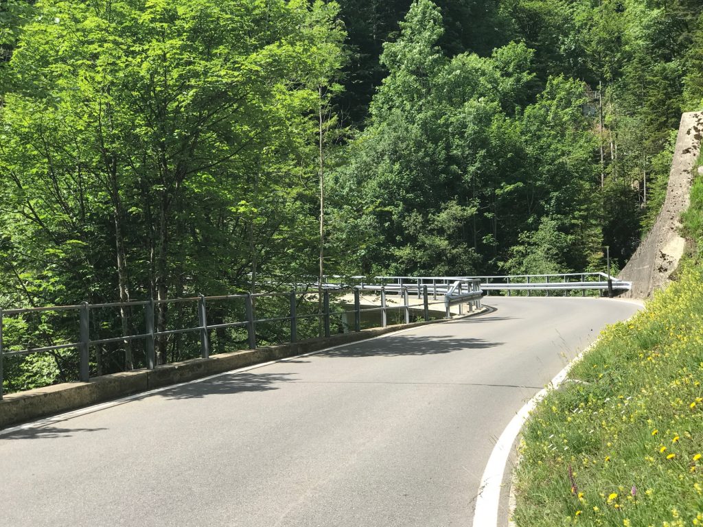
Unlike Klausen Pass yesterday, where I was passed by 203 motorbikes, today I would be passed by 13 and only one “was in a hurry.”
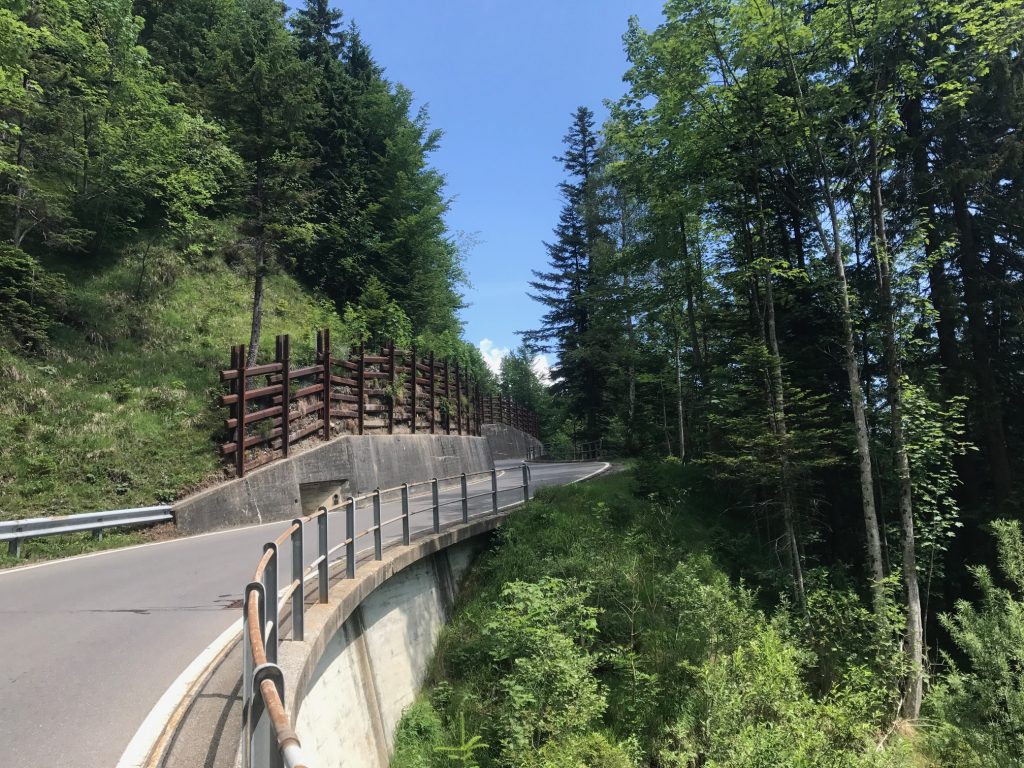
I went long stretches not hearing anything but birds of the forest and the occasional cowbell.
The higher I went the more cows I heard. I crossed a cattle guard and was in an open graze cattle area.
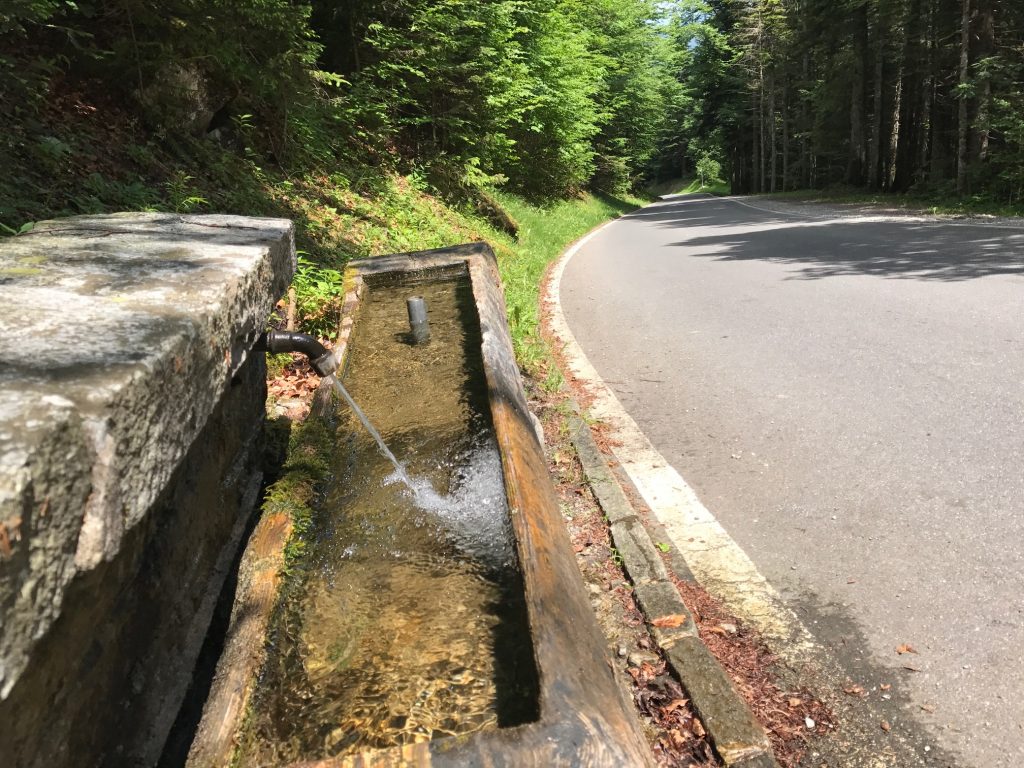
I went through those two bottles and saw a water fountain. I stopped and filled up. Very cold water. They would last me another 2-3 kilometers.
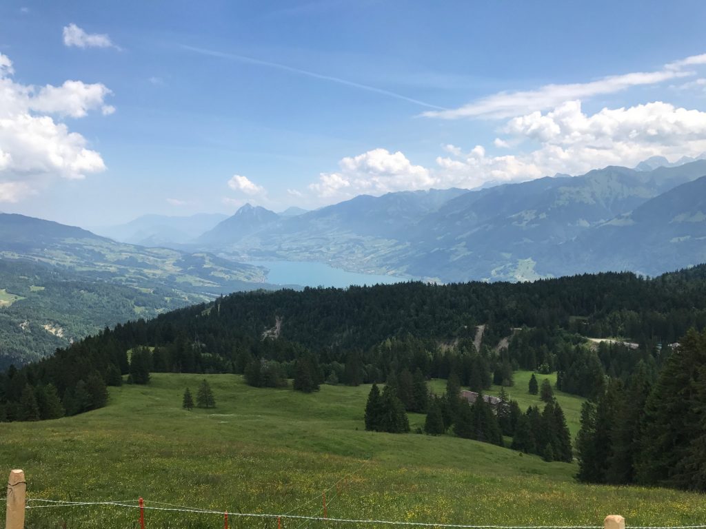
I came upon perhaps 40 school kids on a hike. For a while they seemed to be walking at the same pace I was climbing. But I soon passed them. A couple of kids tried to run alongside me but they didn’t last long although I thought they may beat me to the summit. They didn’t.
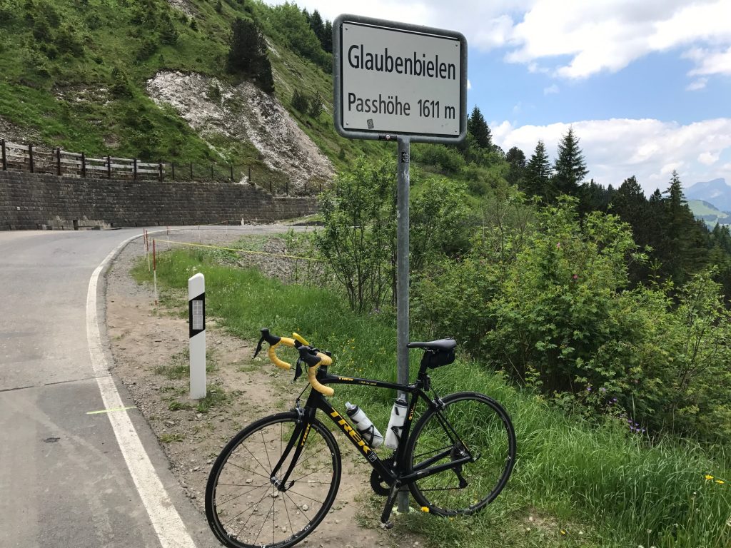
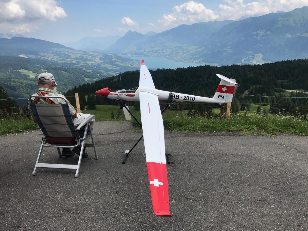
What I thought was the summit was still 1200 meters from the top. A man sat there with his toy airplane. There was a windsock attached to a pole and he brought along his own windsock. I thought about asking him to take a photo of me climbing but he had no interest in even making eye contact.
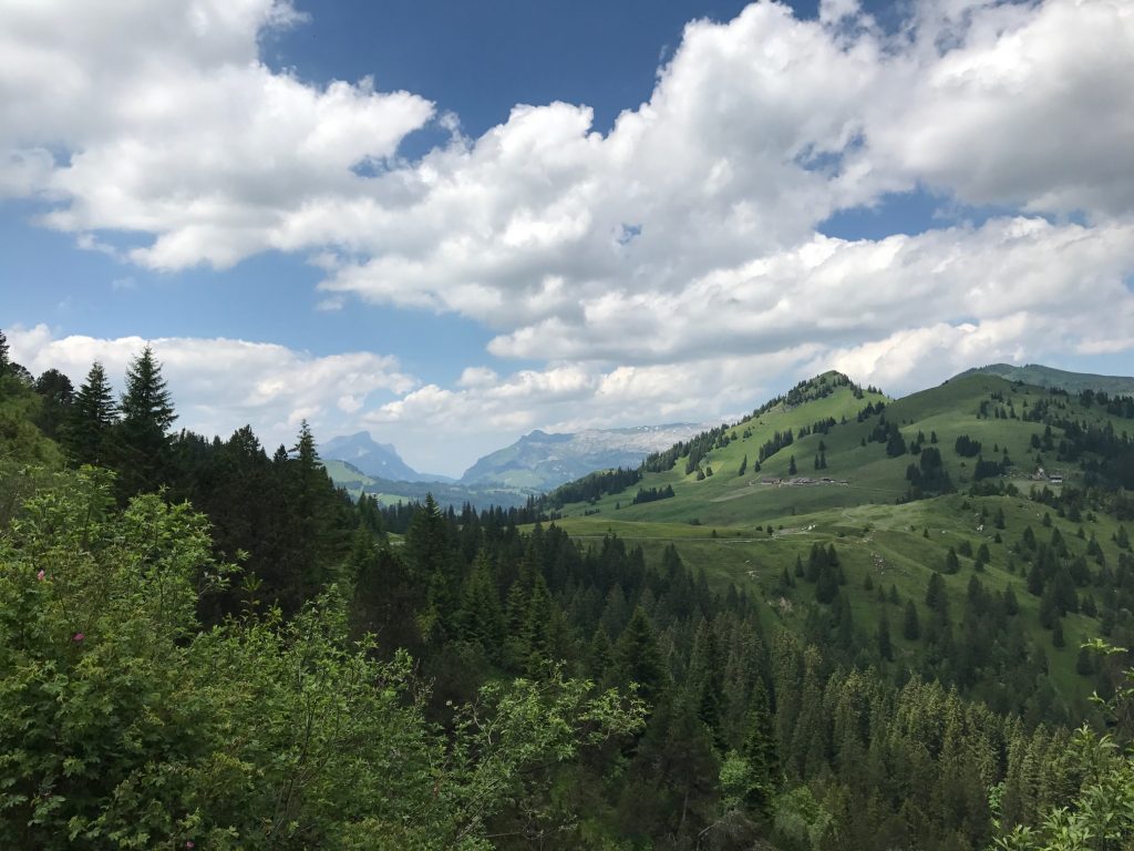
The views on the descent weren’t nearly as breathtaking as those on the ascent. Or maybe I simply had more time to take them in on the climb.
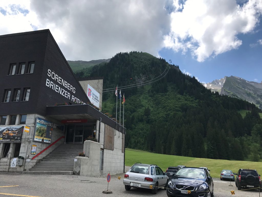
Right before Sörenberg I stopped at a cable tram. Interesting, but I didn’t know where it went. Although I would find out later.
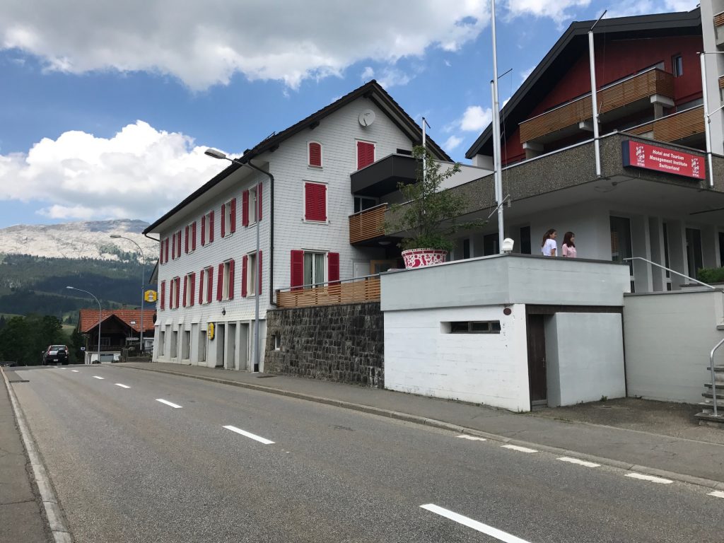
Going through Sörenberg I saw some young ladies in front of a school for Hospitality Management.
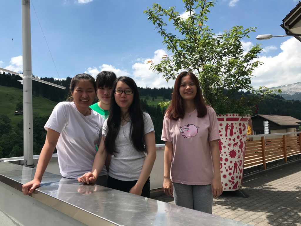
I stopped and asked if they spoke English (the sign was in English). They all did. Four young women from Vietnam. I also asked if I should go to Vietnam for bike riding and they laughed and said “Oh no.” I had read that Vietnam is a great destination for cycling this I found their response interesting.
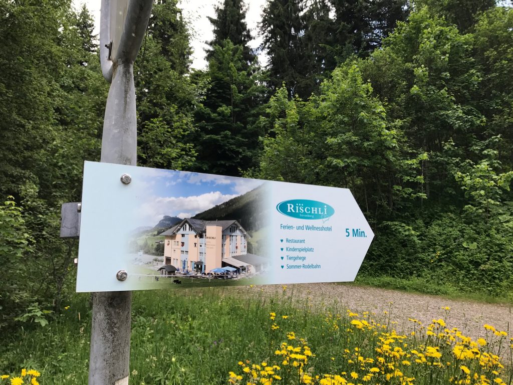
I checked into the Hotel Rischli and the desk clerk offered me a discount card for the tram. As she was showing me the brochure it also included a cog railway. Then I realized this approach was the backside of the mountain that I had traveled three years ago. Had I spent my money to see the views from “up there” I certainly would have been surprised. And maybe pissed to learn I could have ridden for free.
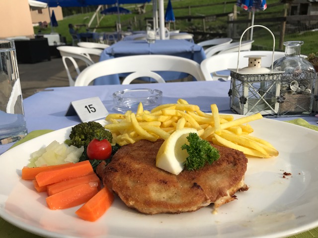
Dinner was out on the patio. I wanted to order Rösti although at the time I did not know the name. I settled for a Pork Cordon Bleu dish which is what I had yesterday in Beckenreid. It was delicious but at 35 CHF a bit pricey for this traveler.
