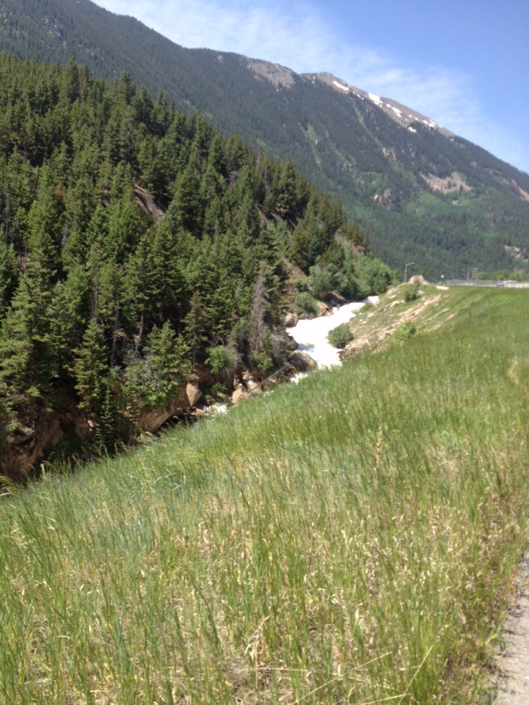
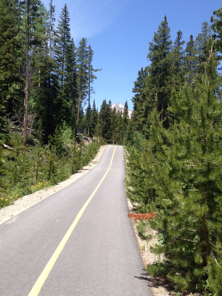
IDAHO SPRINGS, COLORADO
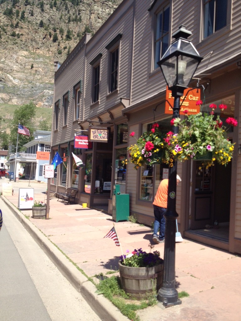
Nine years ago I flew in from San Diego to attend a sports officials conference in Denver. I rented a bike in Idaho Springs and rode to the summit of Mount Evans. My legs were like Jello and I said I would never do this ride again. Once was enough. Until today.
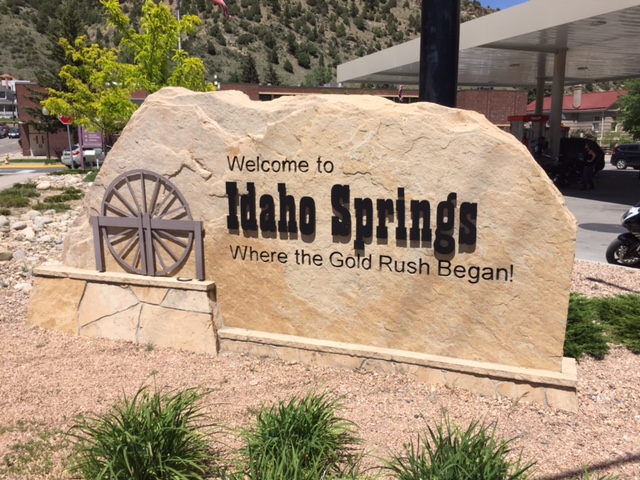
The last couple of years I was curious what the effect of riding a week about 10,000 feet may do to my ability. So this year I did it.
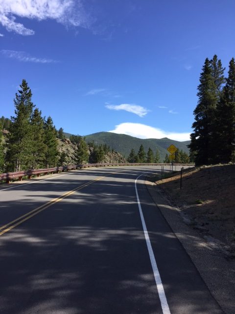
I went to Idaho Springs with this new found fitness level. And my own bike. I remember in 2007 that I could not drink enough water. Although my plans were to include bringing a Camelbak, I forgot that at home. But I did throw two extra bottles of water in a backpack which I wore.
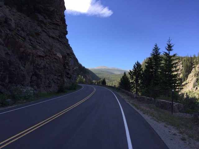
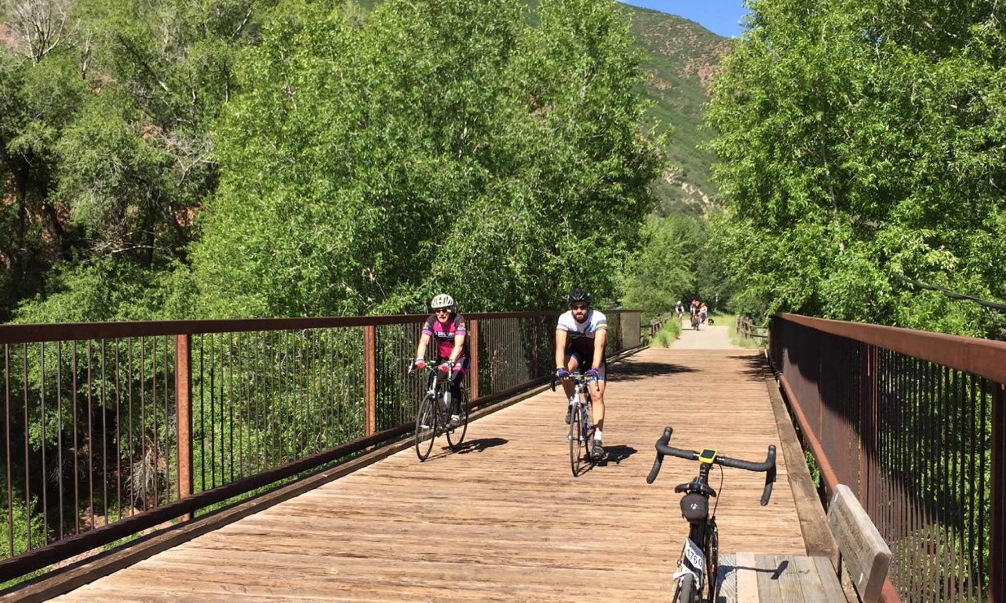
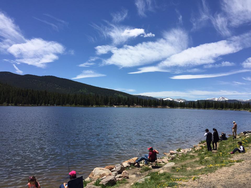
It was near 70 degrees (20 C) when I left the parking lot at Idaho Springs at 8:00 a.m. The first 14 miles are relatively easy, well the first seven miles are definitely easy. And I was taking it easy. I was reliving the events of last week’s Ride the Rockies when I was startled by Mike from Kansas City passing me at Mile 8. Initially going as far as Mile 11, I convinced him to ride to Echo Lake (Mile 14) and we chatted the whole way.
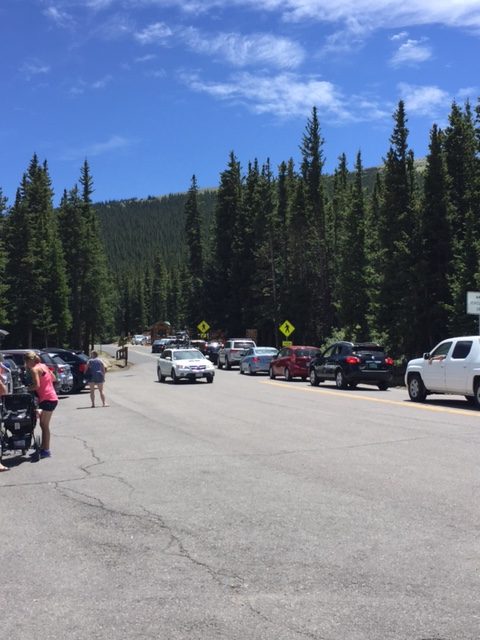
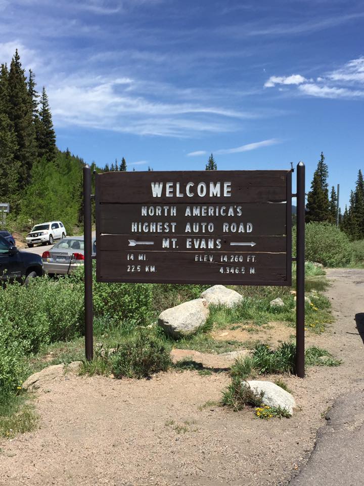
There was a line of cars waiting to enter the Mount Evans Auto Road. I joined two other cyclists talking about the admission fee ($3) when a ranger came and told us that we didn’t have to wait and just to go on in. Sweet deal.
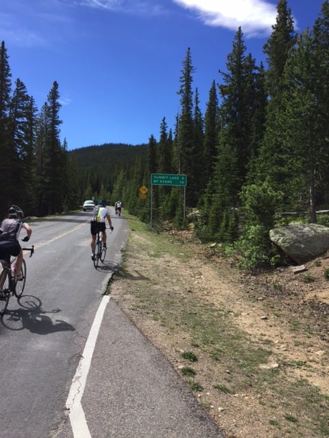
We started up the road together but after taking one photo I pulled over. My phone said that memory was full and I stopped to delete photos to free up some space. I would be rewarded for that.
About two miles up the road I saw a bear amble across the road. I could not react quickly enough to photograph him but the road cut through a hillside. The bear came from the lower section, crossed the road, then continued up the hillside into the trees.
I did not have the benefit of a Garmin tracking my ride nine years ago. I would be curious to know how this ride compared. Maybe not well.
I wanted to keep my heart rate low. I did. About three hours in Zone 1, 23 minutes in Zone 2, and I never went into Zones 3, 4, or 5. To say I didn’t push myself would be an understatement.
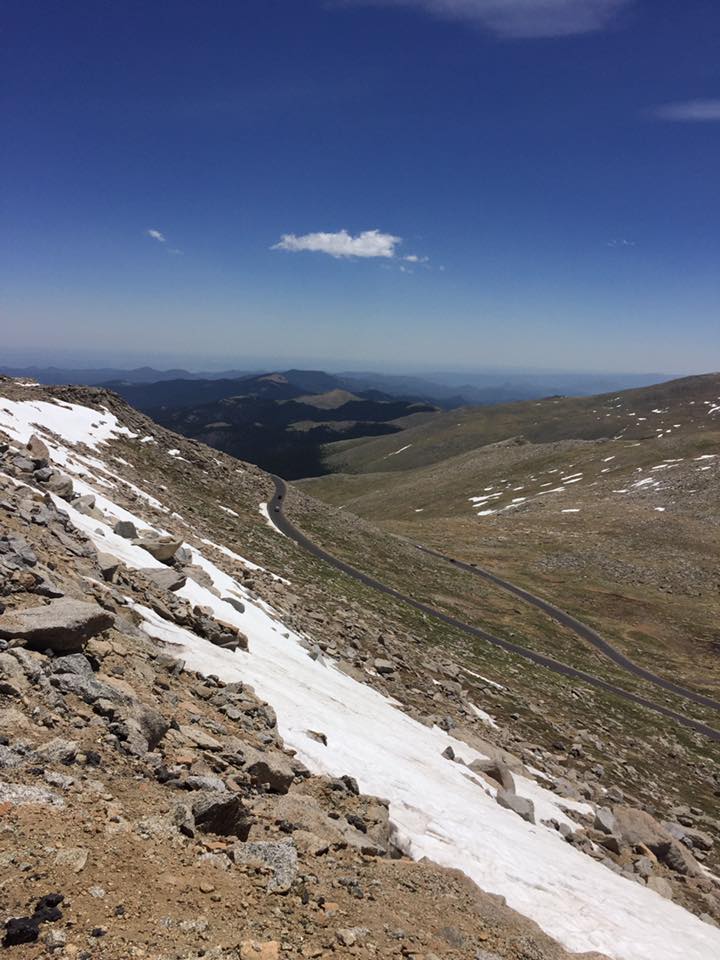
But I just kept my pace steady. I tried at times not to look too far in the distance because all I could see was the road cutting through the rocks ahead. I won’t say I remember every turn from nine years ago but much of it was familiar.
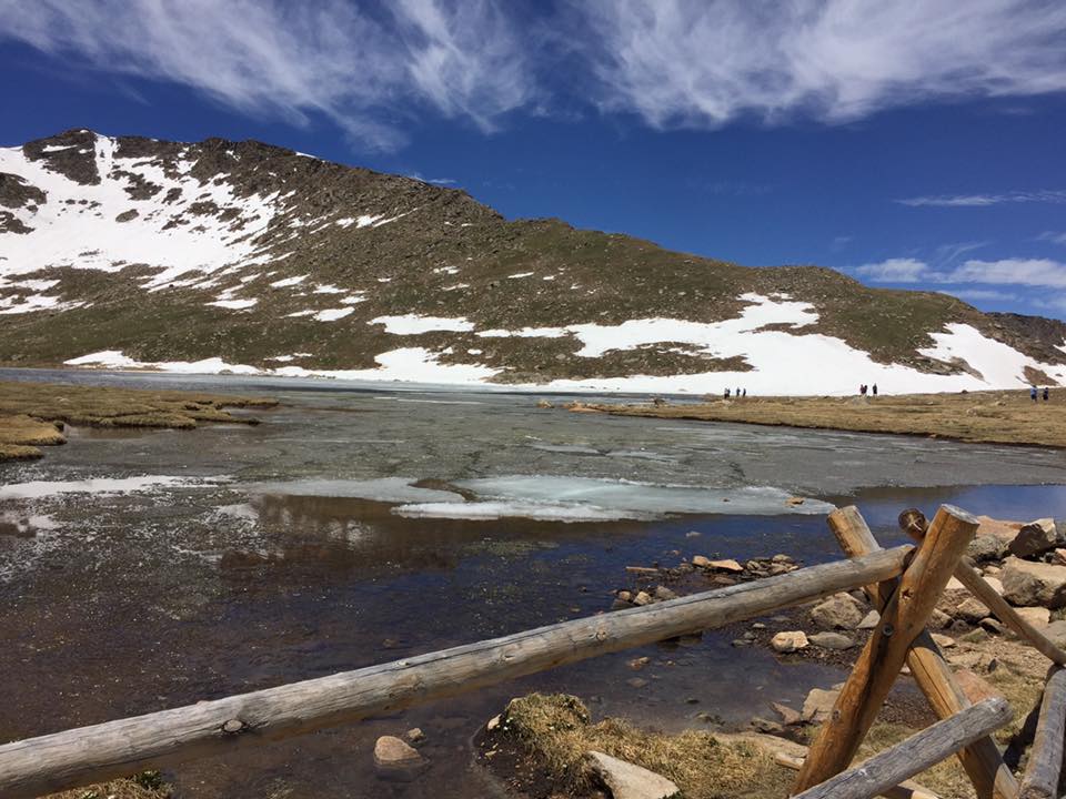
However, one section I misremembered was Summit Lake. When I approached it it was nothing like I had pictured except it was still on my right. The road dipped down more than I remembered and the lake wasn’t at all how I pictured it.
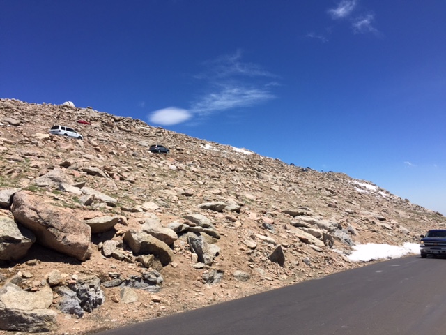
The climb is a slog. It just keeps going and going. Above the tree line the road is paved but the freezing caused whole sections to buckle. It’s not bad going up because of the low speed but makes for a rough ride coming down.
Nine years ago I tried to pedal out of the saddle (standing up) and immediately sat down. I got dizzy quickly. Today I could stand with no issues. I think one week of riding at altitude made that easier for me. But yet, I think I was slower. One week at altitude may not offset 20 pounds and nine years.
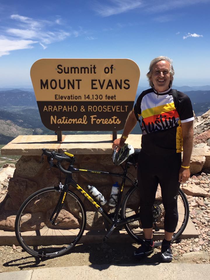
At the summit I took a couple of pictures then left. I had intended of staging my arrival by handing my phone to a stranger then going back down 200 yards or so then coming back up. But really, there is no great summit moment. Just a parking lot that people are trying to get into.
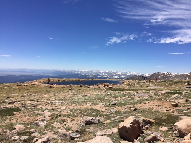
Nine years ago I went hypothermic on the descent. Today I carried a vest and arm warmers and that was enough. I was glad to have them but would have been okay without.
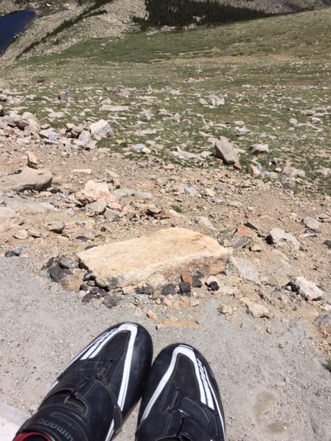
Leaving the summit, the first five miles aren’t a lot of fun. Visually it’s hard to see how steep the road descends. At times it looks like it may go down 1-2% but is probably 6-7%. The bike wanted to fly. But every 50-100 yards was a big crack in the road. Those aren’t fun hitting at 25-30 mph.
At Summit Lake there is a bit of a climb. It was no problem this time although a 28 mile downhill uninterrupted would have been nice. The farther you descend the better the road gets.
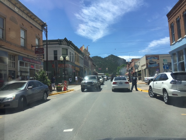
Once back to Echo Lake I had a 14 mile descent on beautiful pavement. I took off my vest and warmers because the temperature at 10,600′ was a balmy 75 degrees. From there I let it roll all the way back to Idaho Springs.
Nine years ago this was a major accomplishment. Today, it was just another ride. But a ride in which I saw a bear.
