SPRINGFIELD, OHIO
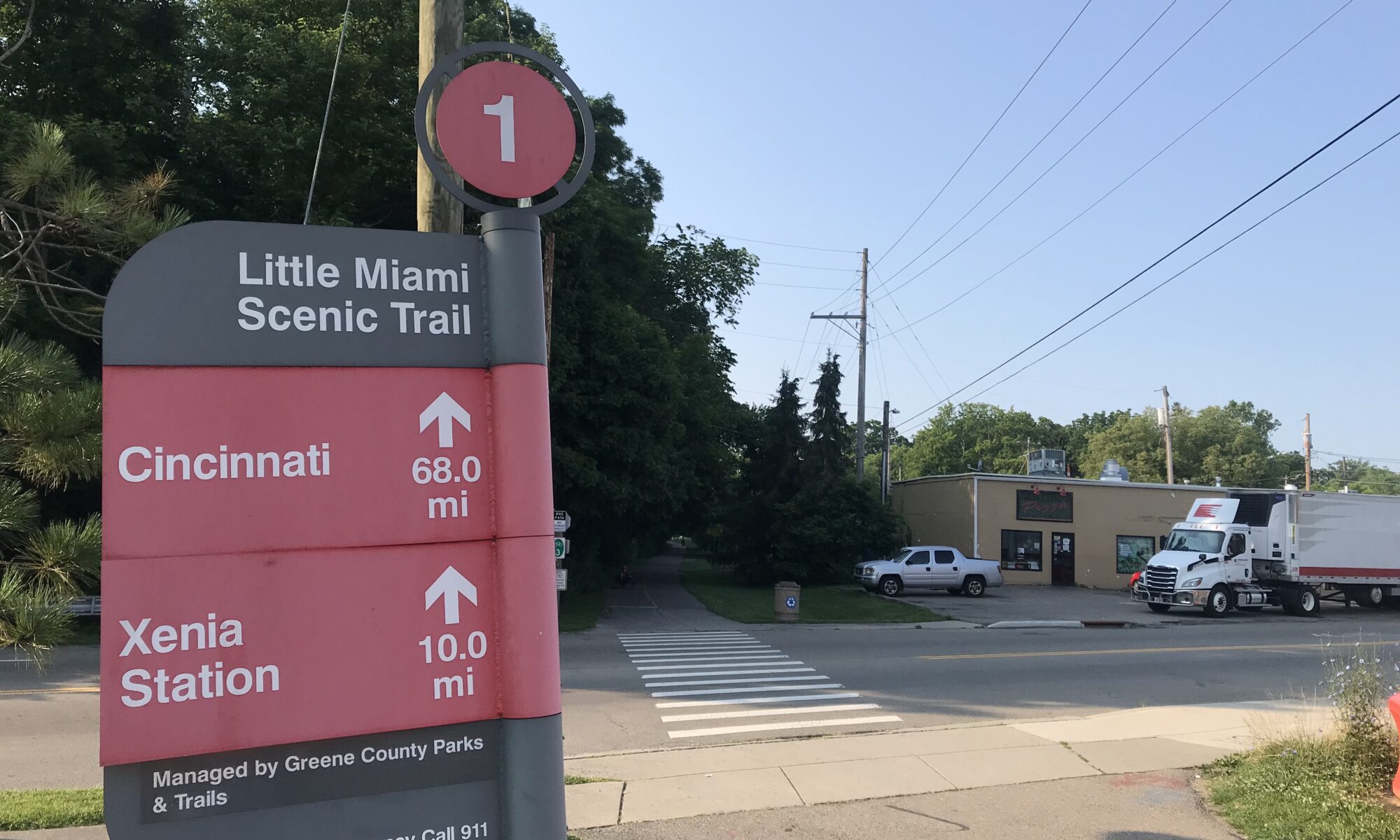
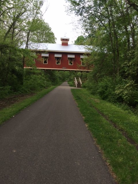
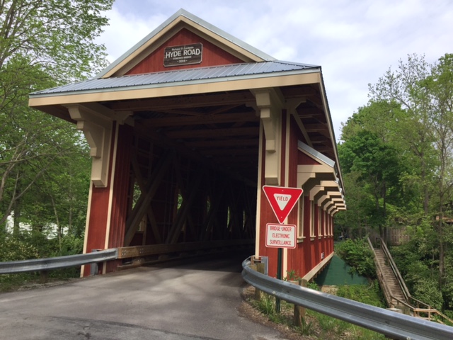
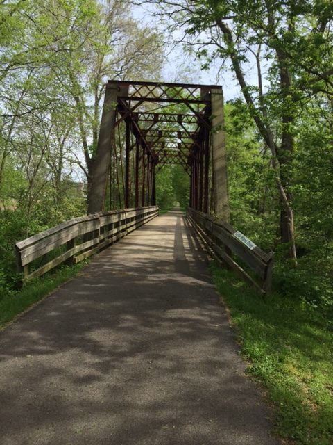
The Little Miami Scenic Trail runs from Cincinnati to Springfield, Ohio. It is a 78-mile paved rail-trail and is a “destination” trail, i.e., one that you would travel to just to ride. I had ridden on parts of it before. But I had never ridden the entire length. I decided it was time to ride the entire trail.
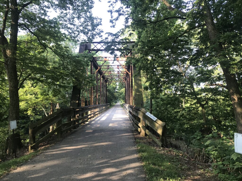
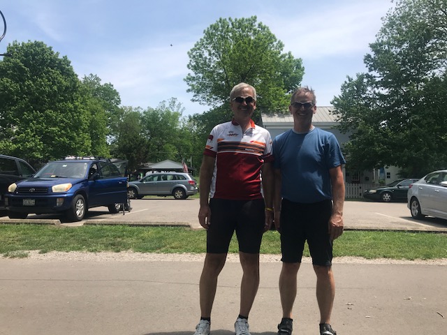
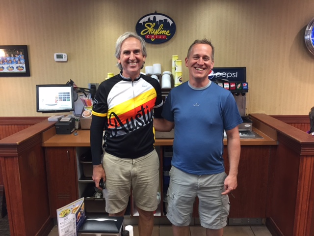
I had ridden with a friend, Bob Berberich, twice previously and I would meet him somewhere. I went to Springfield, Ohio, and stayed at the Fairfield Inn and Suites. I had scouted out restaurants in Springfield beforehand and knew they did not have a Skyline Chili but Columbus had five locations. Before arriving in Springfield, I stopped in Pinkerington for my carbo-loading.
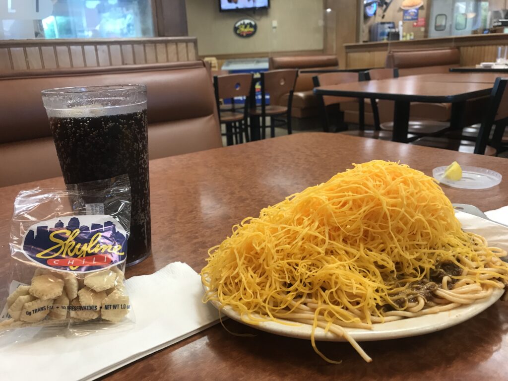
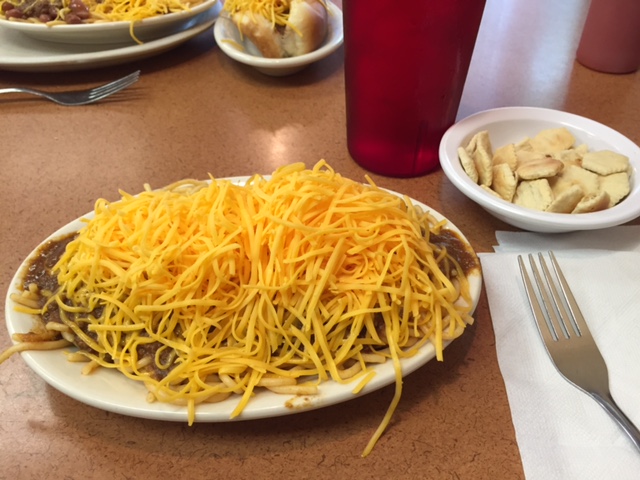
It was 6:00 p.m. when I arrived in Pinkerington at the Skyline Chilli restaurant. Perhaps foolishly, I went for a large four-way figuring I would need all the calories I could get. It was a bit much.
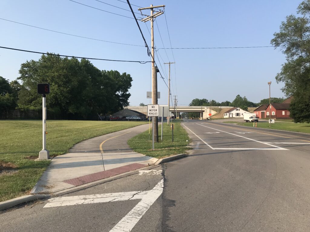
I checked into the Fairfield Inn and Suites. Very nice staff and I informed them what I was planning to do – bike to Cincinnati. They figured that might take me five days. Needless to say, they were a bit surprised and impressed when I said I would be back tomorrow. I had called ahead and asked about leaving my car for a day and they said that would be fine.
Most hotels are not fully staffed to resume serving breakfast and this was no exception. However, they had oatmeal and that was enough. I also grabbed a couple Nutri-Grain bars for my pockets to fuel me on my ride.
I am not into bike-packing. I have no paniers or racks on my bike. I don’t want the extra weight. I would travel as minimal as I could. But that would mean a small backpack.
In my small backpack, I would carry a change of clothes (shorts/t-shirt/underwear), deodorant and toothbrush, a clean cycling kit for tomorrow, and flip-flops. Sunscreen. Even then, maybe that was too much.
It was 69º when I rolled out at 7:52 a.m. Sunny. I had mapped out the route using RideWithGPS and sending it to my Wahoo computer unit. Of course, that would be super easy once on the trail. But the first four miles would be on city streets. Two were “main drags” while the rest were residential streets.
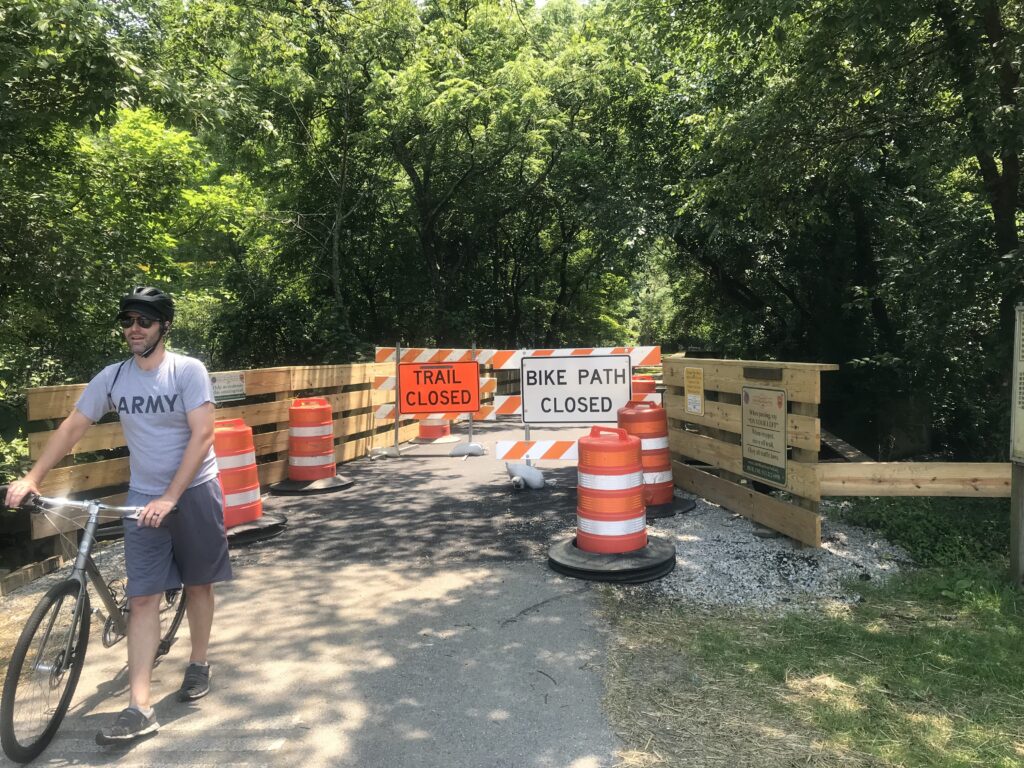
I came to the northern terminus of the trail. It was not marked – I just happened to know it was there. I jumped on it and went 50 meters and it was closed. Detour. The detour did not last long, also 50-60 meters and then I jumped on the trail again. This time for good. I had ridden this section before and recognized where I was.
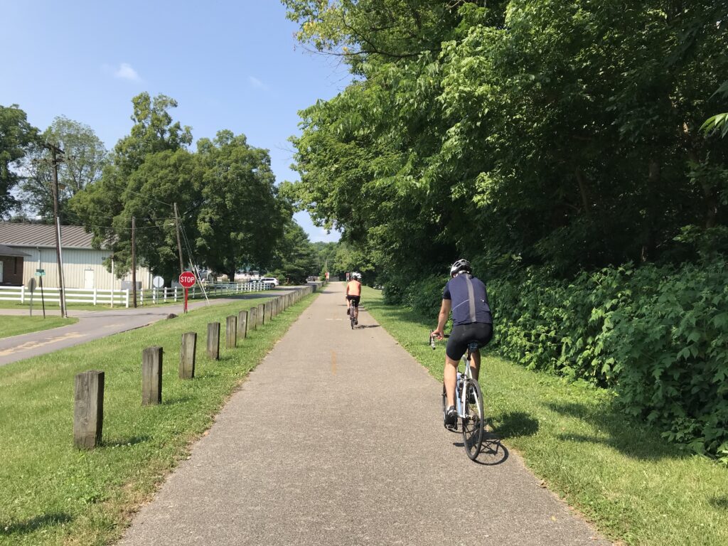
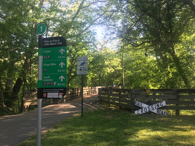
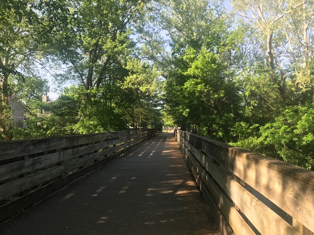
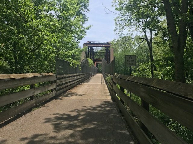
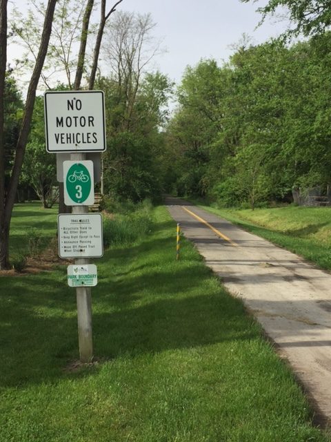
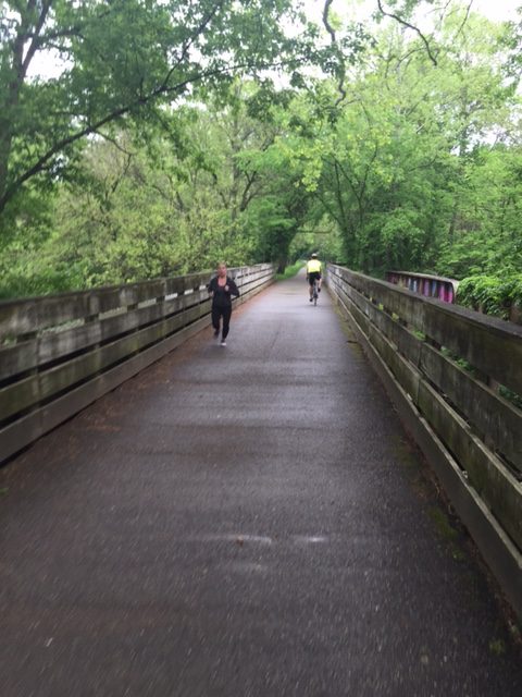
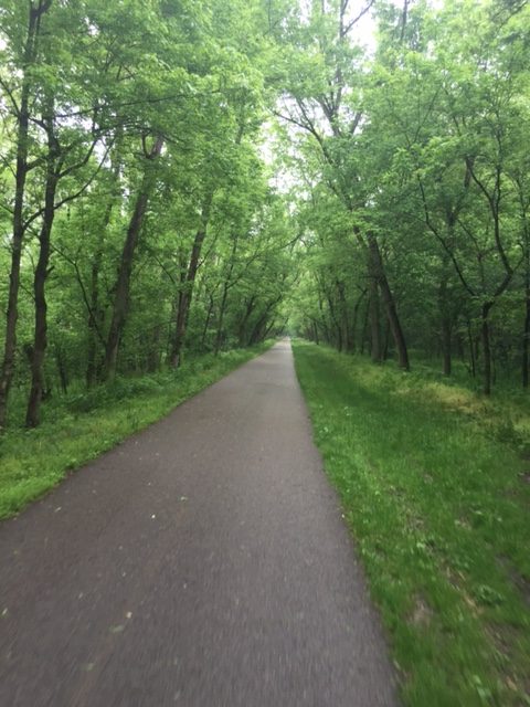
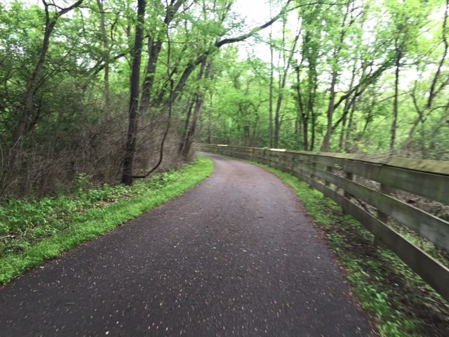
Once south of Springfield the trail is mostly forested with a heavy tree canopy covering the entire trail. Although not recommended, one could probably get away without applying sunscreen because of the shade.
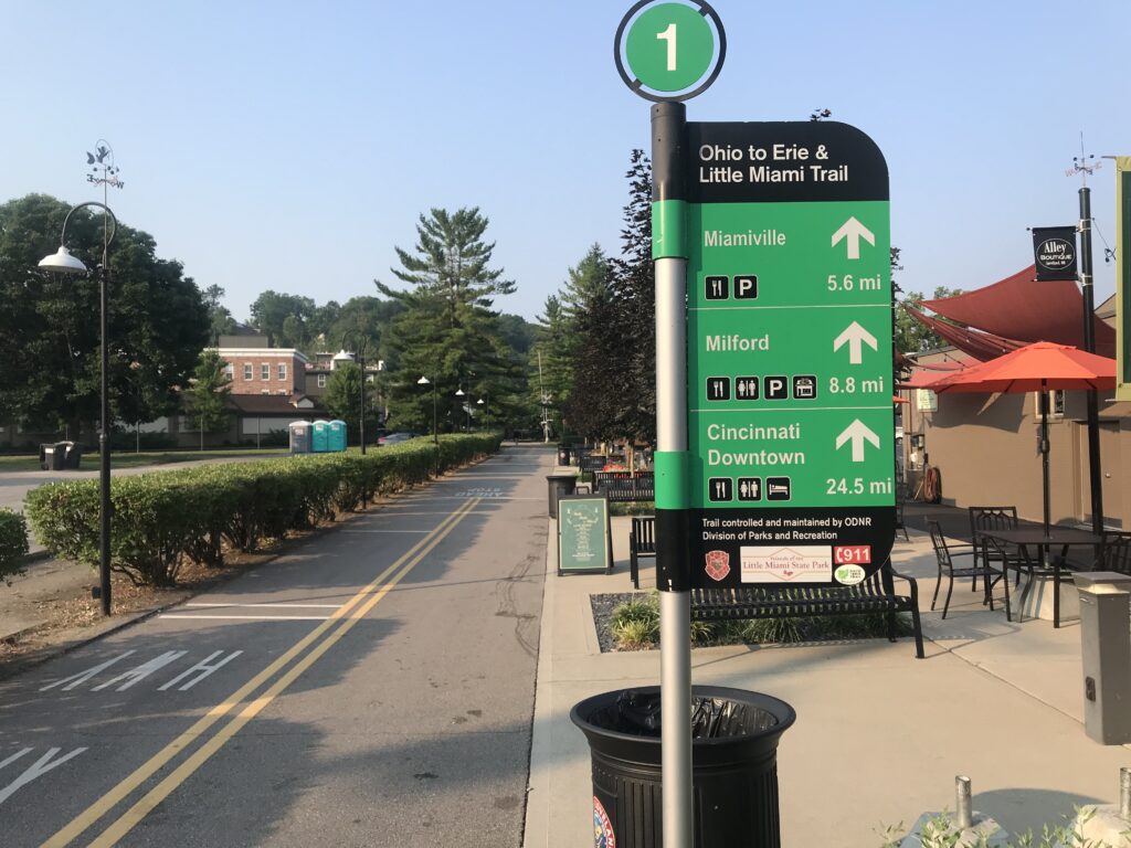
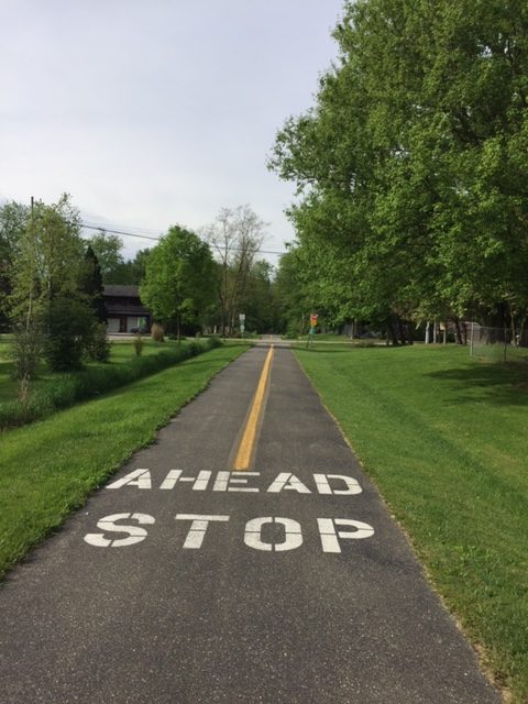
The first 20 miles to Xenia are on a wide asphalt trail. It could safely accommodate riders 2×2 in each direction. The pavement was good with barely any sections with uproots on the trail.
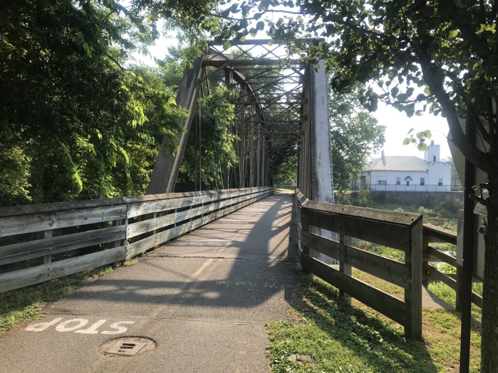
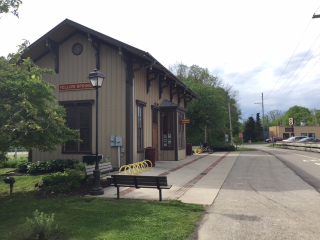
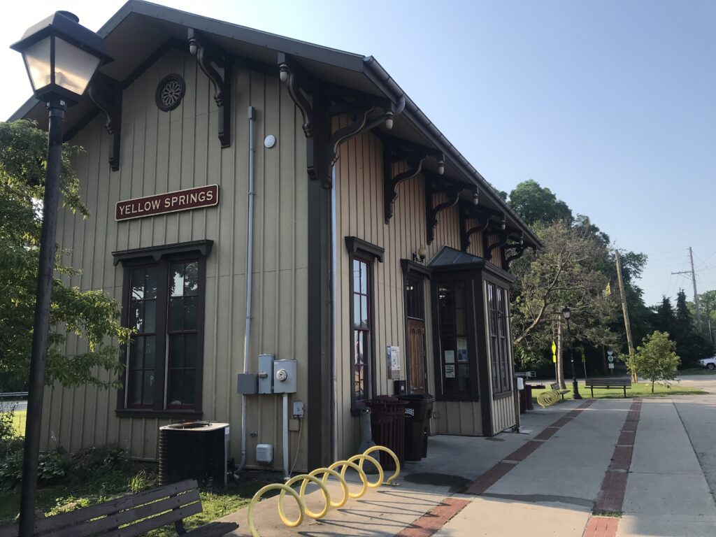
In this section are two towns. The first, Yellow Springs, is 10 miles from Springfield. The second is the city of Xenia at 20 miles.
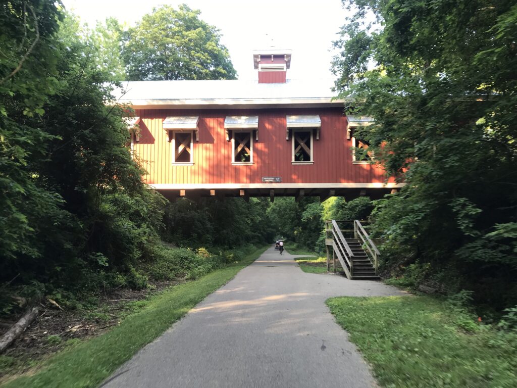
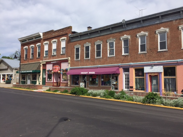
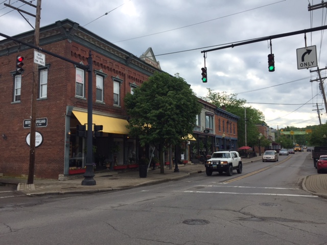
In Xenia, the trail goes right through the downtown area (which is very nice). On my way south I missed the trail crossing to the other side where it became a dedicated bike lane. Somehow I did not see the bright green crosswalk.
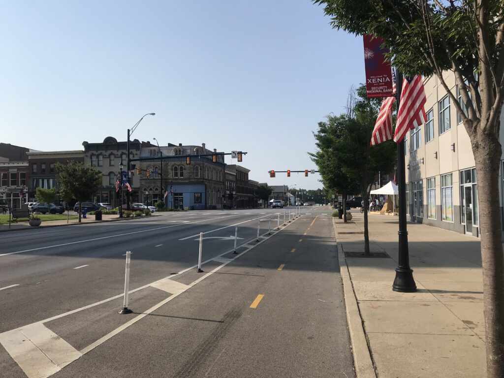
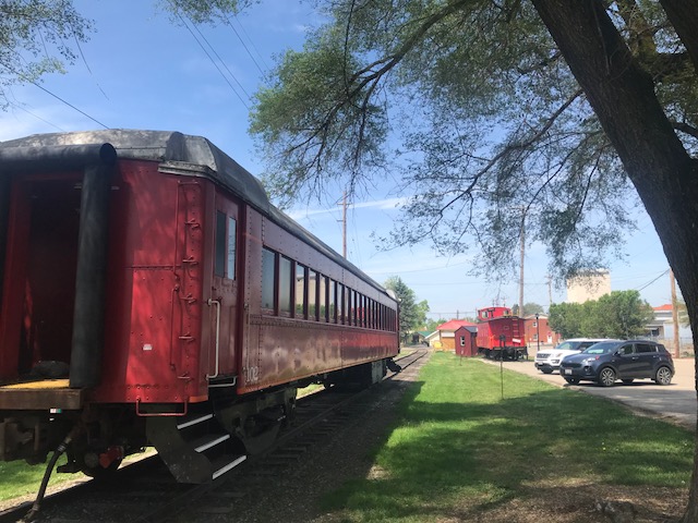
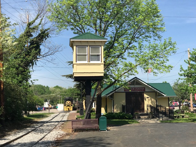
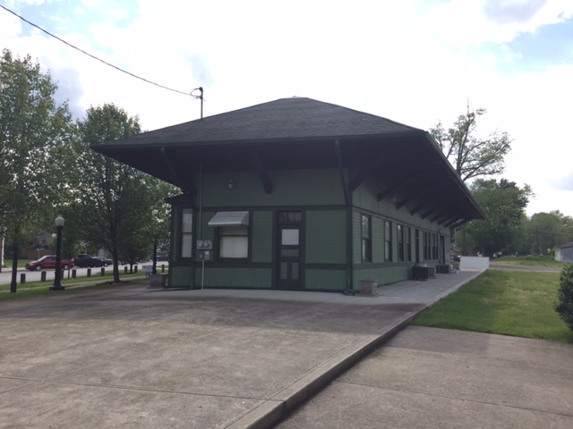
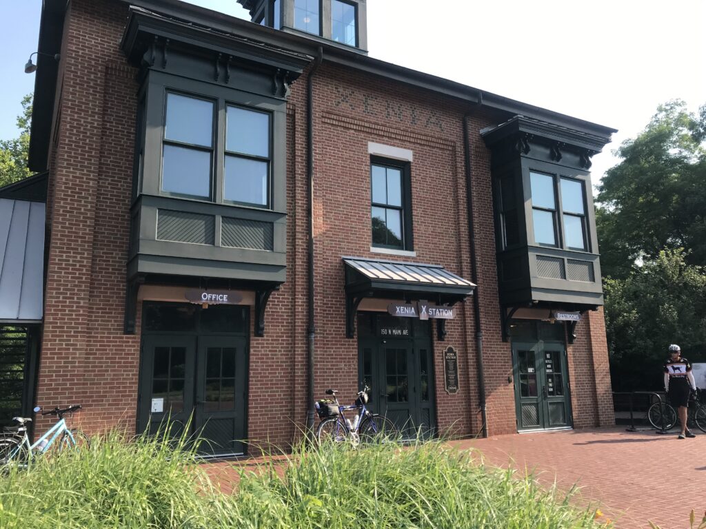
All trails, and there are many here in “Trail City,” lead to Xenia and Xenia Station. What a beautiful old station here. While it is great for cyclists it is sort of sad to think these trails were train tracks and were the lifeblood of this community.
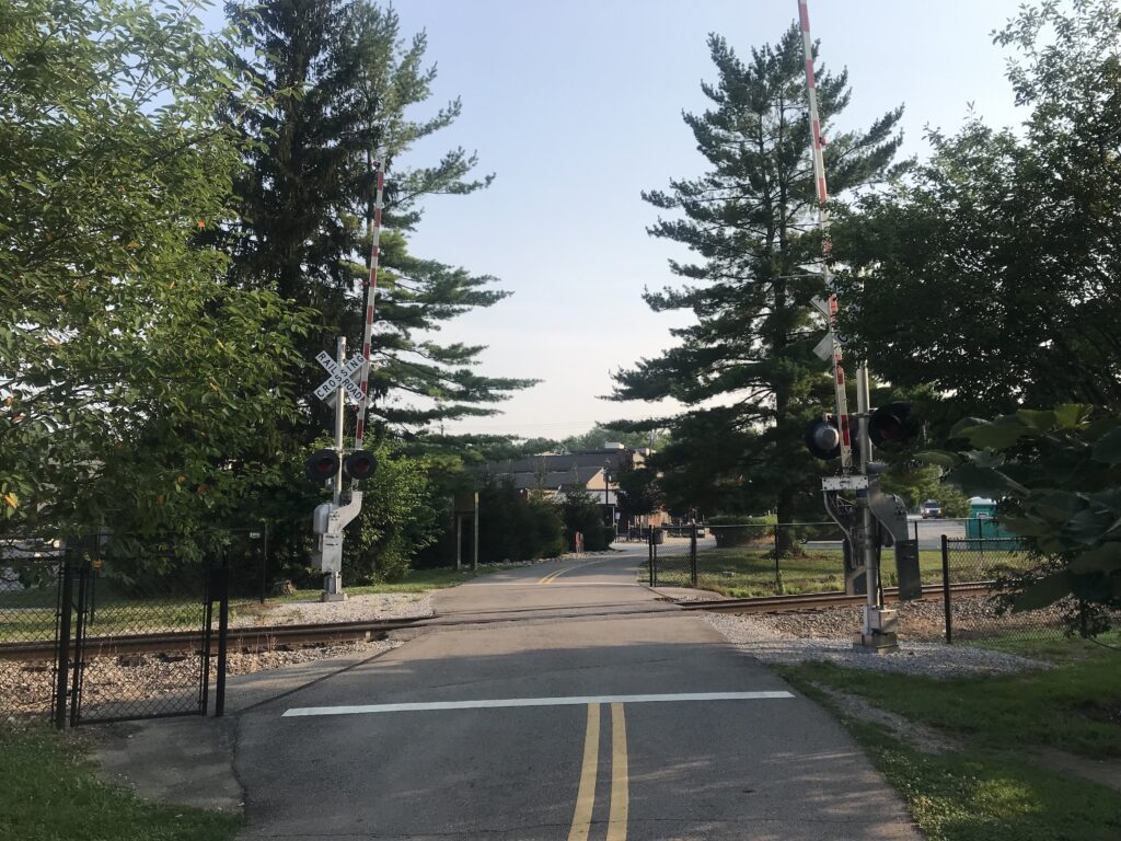
The route south of Xenia starts by entering Little Miami State Park. Here the trail becomes narrower and a little rougher. There are some rooted sections as well.
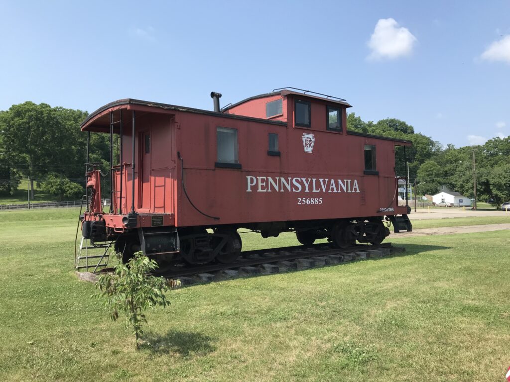
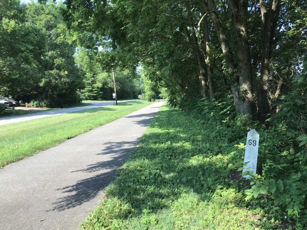
Except for one lonely mile marker left behind by the railroad, there were no markers on the side of the trail. But there were large painted mile markers every half-mile. And all distances seem to be the distance from Xenia.
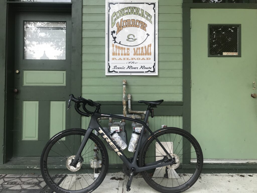
I had planned to meet Bob for lunch at Kings Mill and was having problems finding distance charts. Finally, at Corwin, there was an information board with mile markers. (I cannot find the map online.)
I saw Corwin was MM 14 and that Kings Mill was 36. With 22 miles to go, I texted Bob and told him I’d be in at 11:45 a.m. And I got there at 11:45 although I underestimated the climb and distance from the mile marker to the restaurant since my calculation was to the trail head.
After lunch, and the temperature was up to the low 90s, I went back to the trail expecting another 20 miles or so to go. I passed through Loveland, which is probably the nicest trail town here (Mile 40).
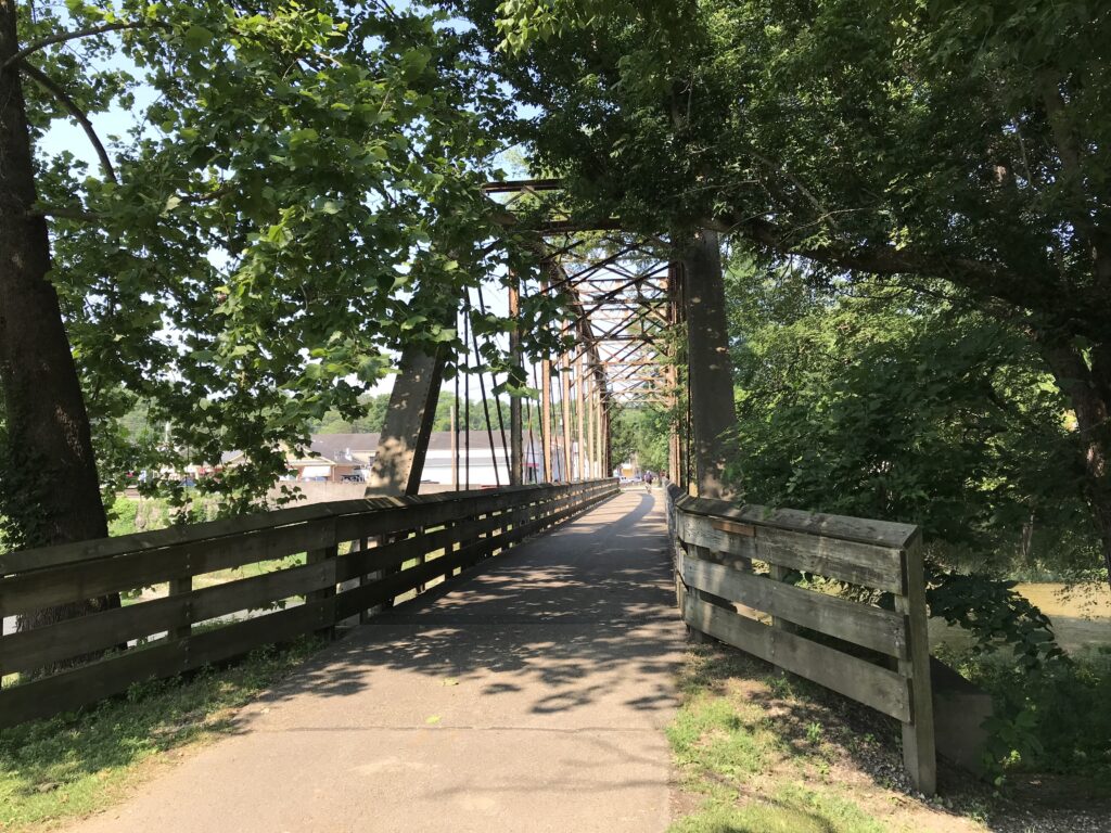
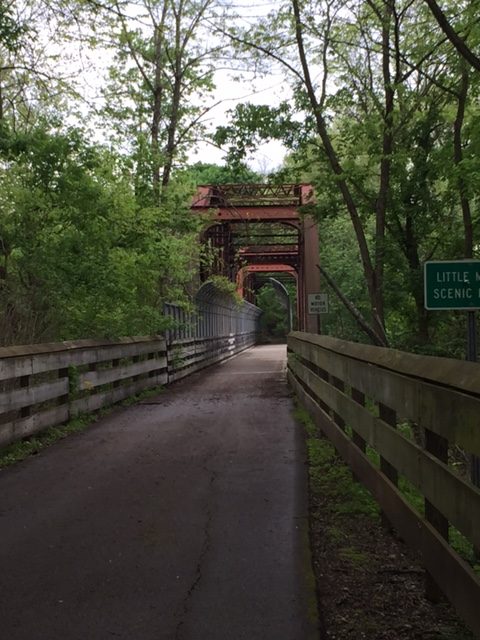
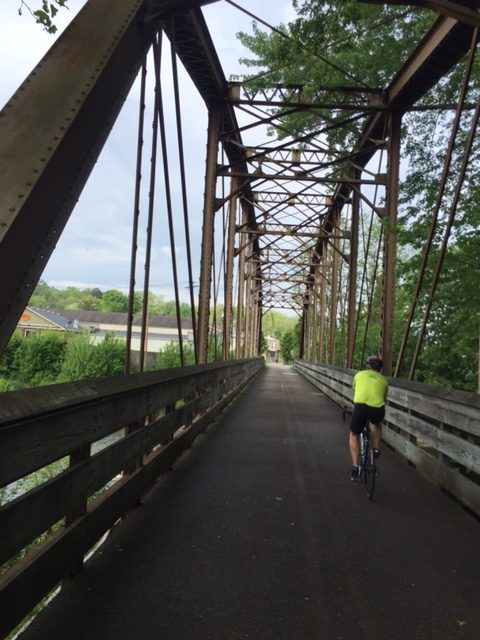
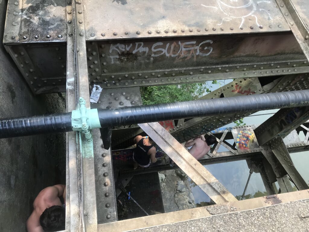
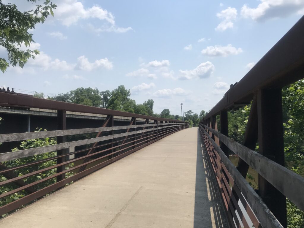
I came to a river crossing of the Little Miami and saw some “kids” (who were probably 18-year-olds, so adults, no?) at the end of the bridge. Some were crawling over the railing.
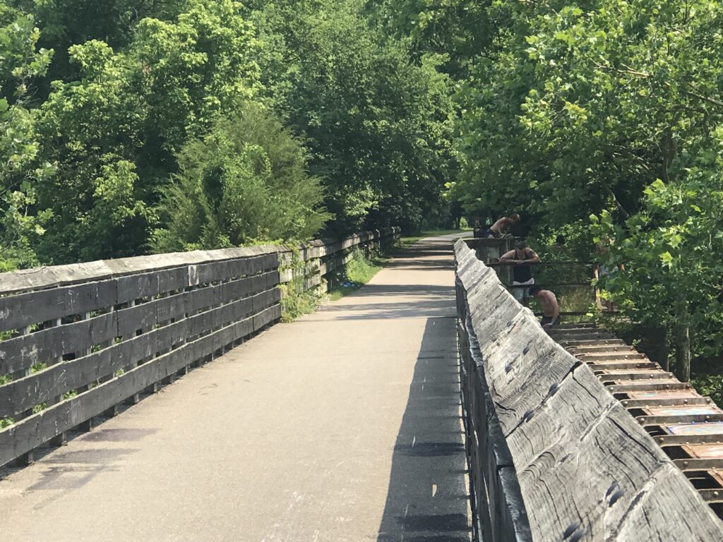
I went to the end and talked to a couple of the kids. They were scaling the fence then carefully climbing down the trestle to a girder. From there they would carefully edge their way out on the girder to the middle of the bridge and jump perhaps 30 feet into the river. Collectively, they’re braver than smart.
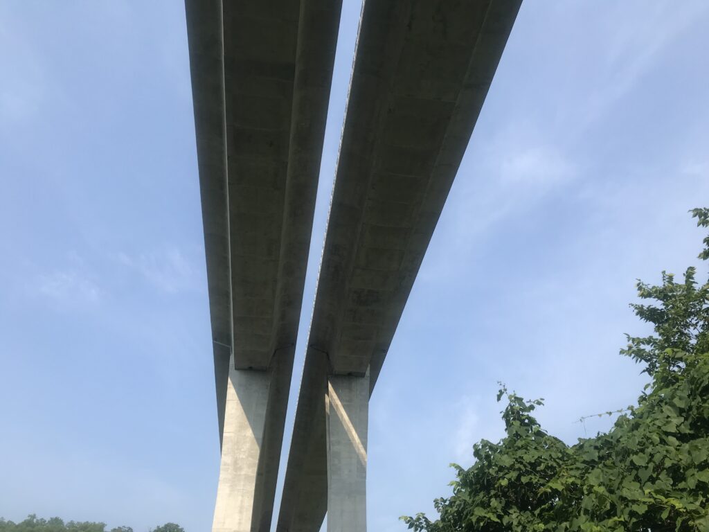
The last miles went fairly fast. I passed the Milton Trailhead and went down to Newton where I exited. The trail appears to officially end about a quarter or half-mile farther but I was exiting.
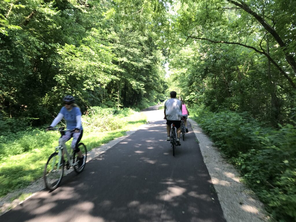
A family on four bikes was taking a wide turn into my lane so I moved over and greeted them. The mother/wife replied, “I like your cookies.” Not sure a woman ever told me that before. (I was wearing a Phil Gaimon “cookies” kit.)
It was five more miles to the hotel on Round Bottom Road. This was the only sketchy part of the ride. I would describe it as part country and part residential although that’s not quite accurate. Maybe a mix of light industry and country. And busier than a country road should be. With no shoulder, I was not comfortable riding this road.
I checked into the Tru by Hilton Hotel which was near the Interstate. The restaurants were too far to walk so I continued to ride. Quaker Steak and Lube had outdoor seating so I chose that. The one problem was their outdoor seating was smoking. C’mon Quaker Steak – you can do better. I sat outside braving the occasional smoke because that’s where my bike was.
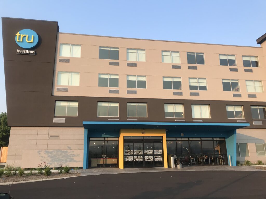
In the morning I scrounged for oatmeal as the breakfast offering was scarce. I filled my water bottles at their water cooler which had the worst tasting water from a cooler I ever had. I suspect it wasn’t an actual cooler with bottled water but had a direct line to the hotel water which was pretty awful. Of course, I never tasted the water and didn’t discover this until 10 miles into my ride.
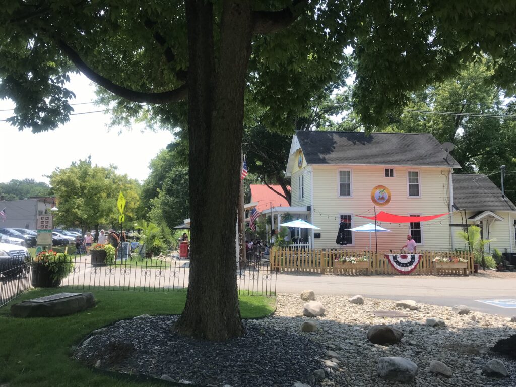
It was 74º when I rolled out on Tuesday morning. Very pleasant. I took South Milford Road into Milford passing by a nice retirement community and beautiful homes on Mound Street.
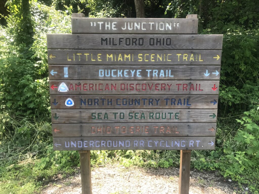
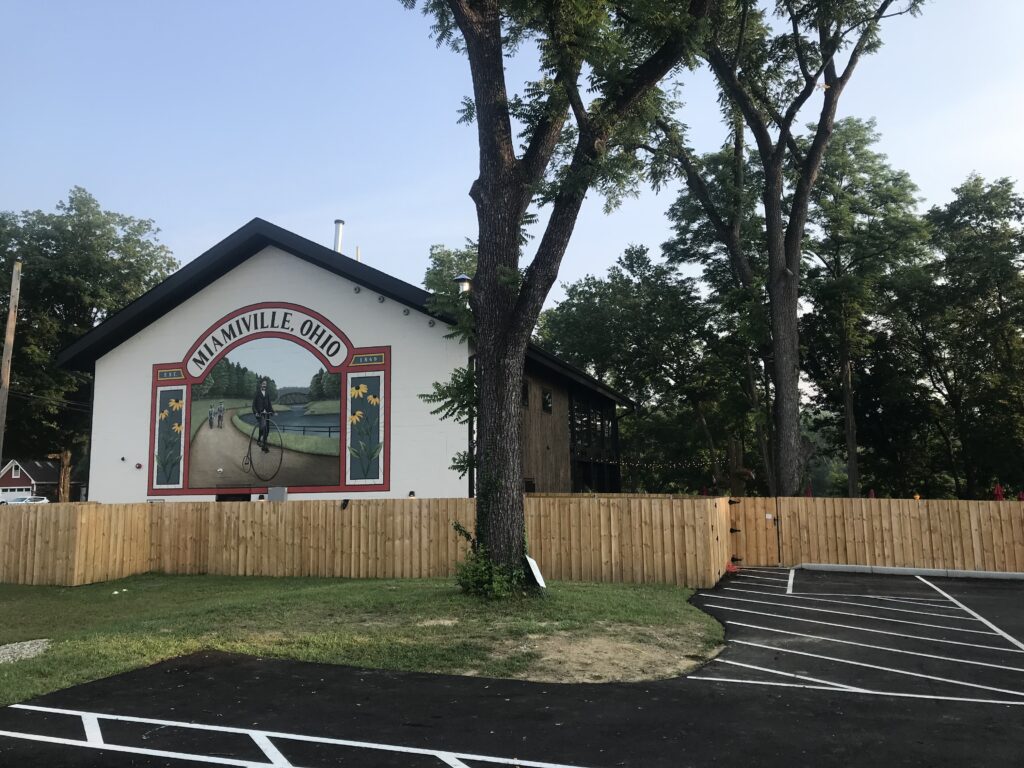
I came to the edge of downtown which looked really nice but I was right across the Little Miami from the trailhead and just went to the trail.
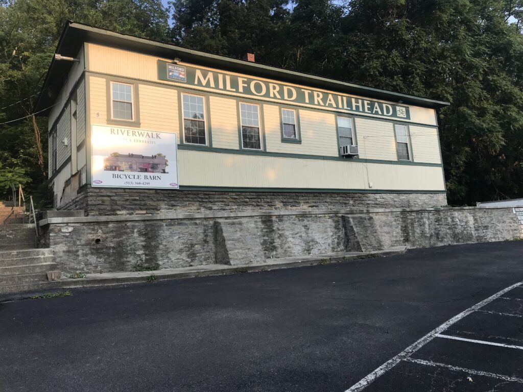
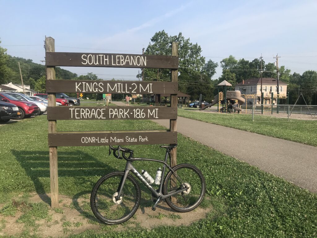
It was a lovely morning as I went north. I was 22 miles from the trailhead at South Lebanon and met Erin T. at the trailhead. With 54 miles to travel, I would backtrack my route from yesterday with two exceptions.
The first deviation came in Xenia, the Town of Trails. Erin was out of water and I wasn’t drinking mine. I brought a measured amount of ScratchLabs drink mix for one bottle and I could not taste it as I drank. The taste of the water was enough to keep me from drinking and I needed to be drinking.
We went into a Speedway gas station/convenience store. With temperatures in the 90s, Erin took her bottles to the ice dispenser on the soda machine (or here I guess it’s the “pop” machine). I went to the cooler and bought a gallon of water for $1.99. The small bottles were $1.49 each. We went outside, filled our bottles with cold water. I had dumped out my hotel water. I then gave away half-gallon of water to a passing customer.
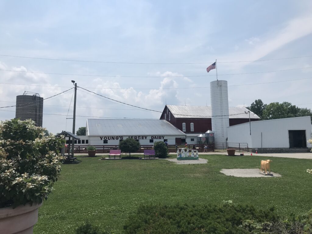
The other deviation would be a stop at Young’s Dairy Farm. I did not have a big breakfast at the hotel and did not find packaged bars at breakfast to fill my pockets. I was hungry. I was hoping Erin would want to stop for lunch and we came to a pizza place (two, actually) in Yellow Springs. But she wanted to keep going.
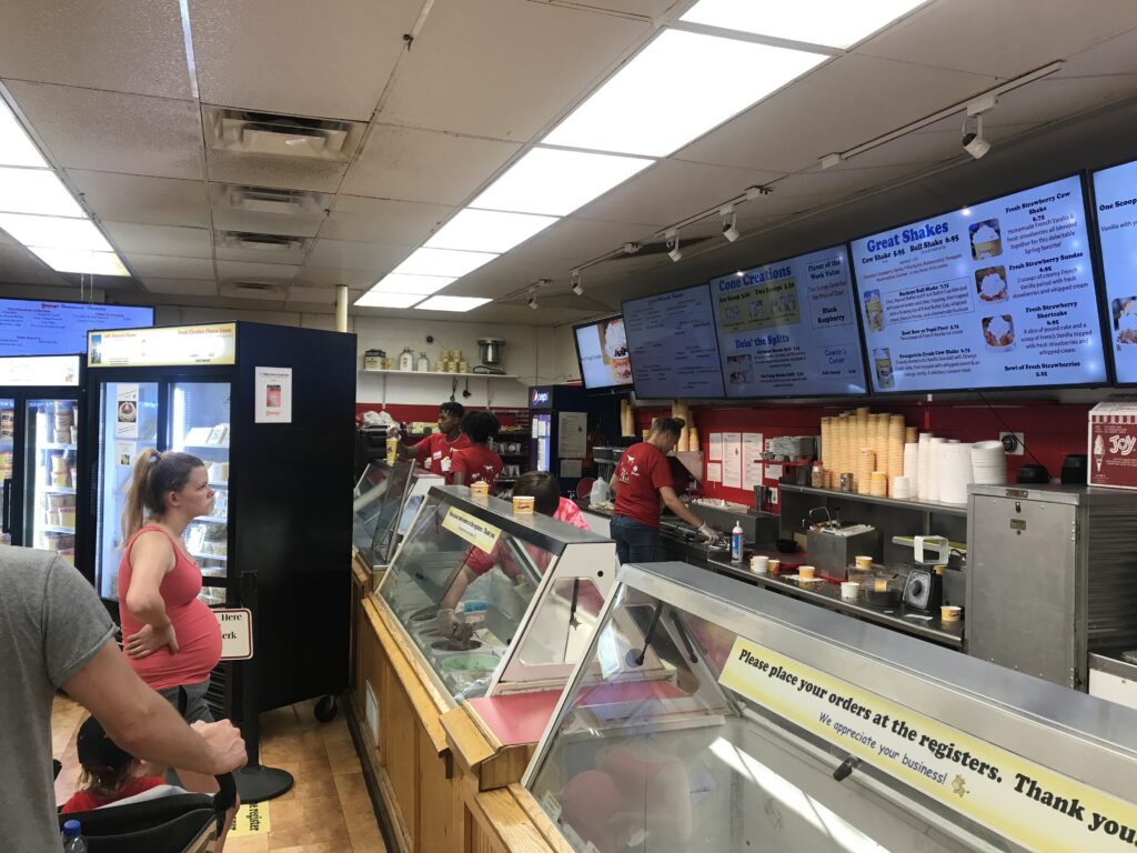
At least three times I have been told to be sure to stop at Young’s. So this time I did. We saw a sign and turned on West Jackson Road. A man on a three-wheel recumbent bike had turned on the road ahead of us and it gave us a feeling that this road was safe if he would ride on it. Young’s was almost one mile away. And it is worth a stop. It was very busy but if I get back here again I will be stopping.
Back on the road, we stayed on Ohio 68 rather than backtrack to the trail. I knew they would intersect although I was surprised at the distance which was 3.5 miles. But they did come back together. We then had four miles through Springfield back to my parked van at the Fairfield Inn and Suites.
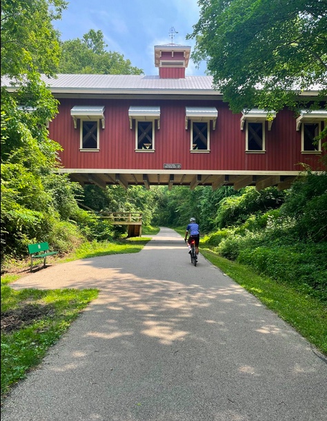
Bottom line. This is definitely a destination trail. Almost 80 miles of paved bliss. Out and back in two days was a great ride.
