Brunswick Doublecross

LEESBURG, VIRGINIA

What a beautiful day. I had mapped out a 55-mile ride and loaded it on my Wahoo. Truth was, I didn’t need a map because except for a two-mile stretch of Va. Rte. 267 (Berlin Turnpike) from Lovettsville to Brunswick, Md., I have ridden all these roads before.
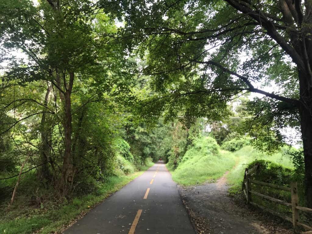
W&OD at Hamilton (MP40)

Well, not all roads. Twenty miles would be on the C&O Canal Towpath. Yes, on my Domane (road bike). I was comfortable riding the canal because six days ago I met my sister, Betsy, and her husband, Tom, plus friend, George, as they were doing a through-trip from Pittsburgh to D.C.

Betsy had texted me and said “They’ve resurfaced at least this part of the canal! .. no puddles, no roots, no rocks.”
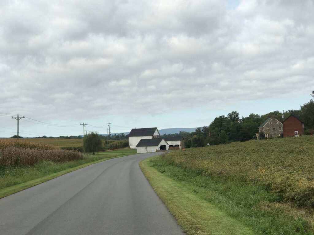
Hamilton, Va.

When I met the crew last week, I had just ridden through a steady rain. Although it had quit raining when I met them, that led to a discussion about the surface. Between Point of Rocks and Whites Ferry, it is generally hard-packed. With the rain it looked, and rode, like asphalt.
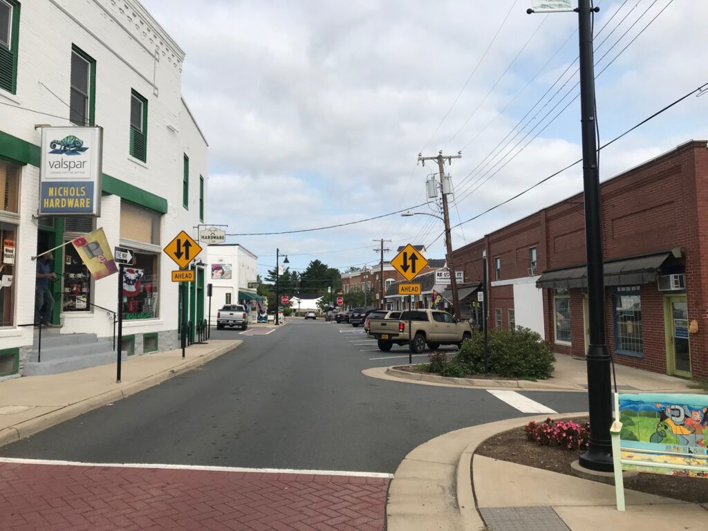
Purcellville

When I mapped out this ride I thought about taking Md. Rte. 28 from Brunswick then connecting to Martinsburg Road and the familiar country roads I have ridden many times. These are the roads to and from Sugarloaf Mountain so they would be familiar territory.
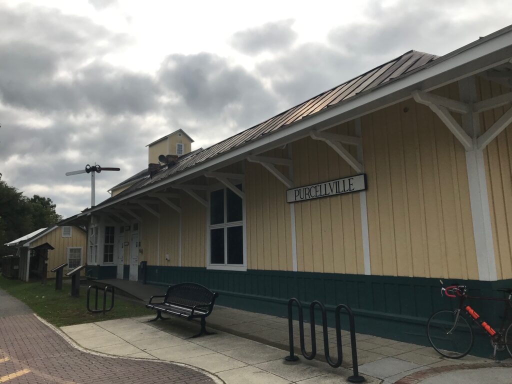
Purcellvile

But an alternative would be the C&O. The paved C&O. Well, so I thought.
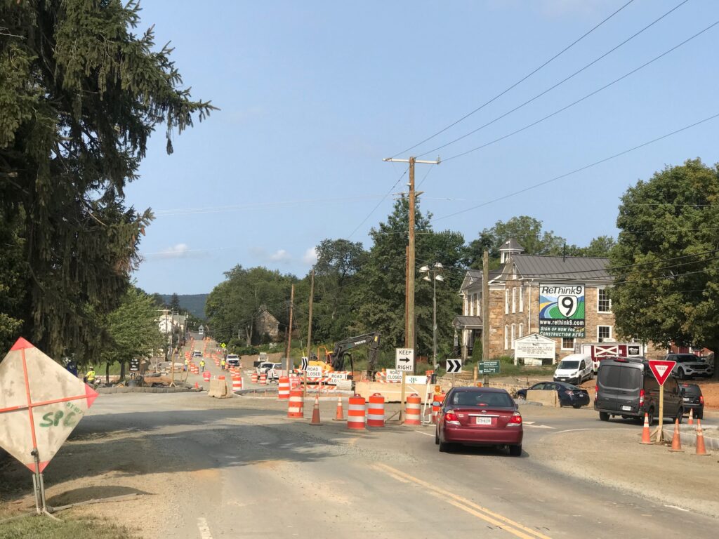
Road Construction in Hillsboro

It was a chilly late-summer morning. Just 55° (13° C) at the start. My cold-weather gear consisted of arm warmers. And that’s it.
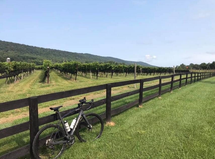
Doukenie Winery, Hillsboro

I followed the W&OD to Purcellville then took Hillsboro Road over to Hillsboro. There were ZERO cars behind me today. There’s a major construction project in Hillsboro with a detour around the quaint town, and cyclists benefit by the detour.
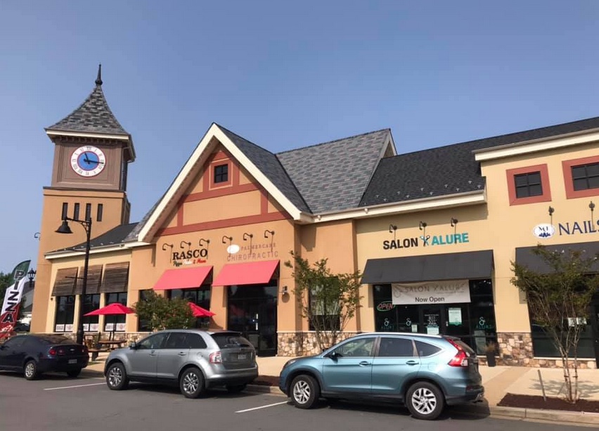
Lovettsville

From Hillsboro to Lovvettsville I followed Mountain Road. It was absolutely beautiful. I had mapped out an alternative for bypassing Lovettsville but that did not work out. I have to go back to the drawing board but I was comfortable staying on the roads I knew.
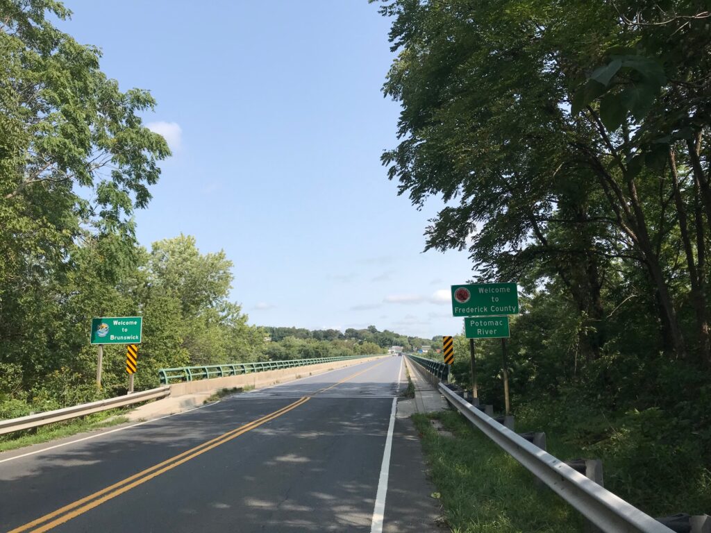
Welcome to Maryland (Brunswick)

Actually, the drawing board is confused. Checking what I had mapped out and downloaded, what Wahoo was showing today was not the same. In Purcellville, it was supposed to route me onto Chestnut Overlook Drive but did not show that. Then on Mountain Road, it told me to go straight about 200 meters, do a U-Turn, and then turn on Brittain Road. And that was gravel so I ignored it. But it looks like I had mapped an alternative for bypassing Lovettsville but that never showed up either. Don’t make me lose trust in my Wahoo.
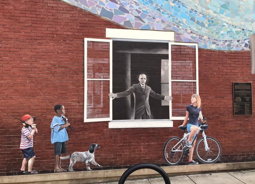
Horine Bldg (1910). The man is Dr. Arlington Grove Horine (1863-1956) owner of Horine’s Drug Store and Soda Fountain Shop. He was a surgeon with the B&O Railroad (1891-1903) and Brunswick’s mayor (1906-1914).

I jumped on the Berlin Turnpike (just the name of the road, it’s not really a turnpike). I came to a construction area and stop where the flagman held up a stop sign. We chatted briefly. He told me I was flying up the hill before I reached him. That was a nice compliment.
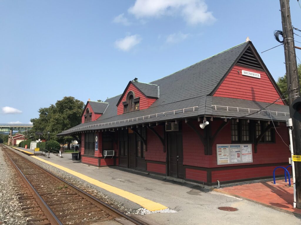
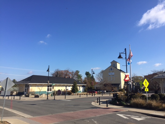
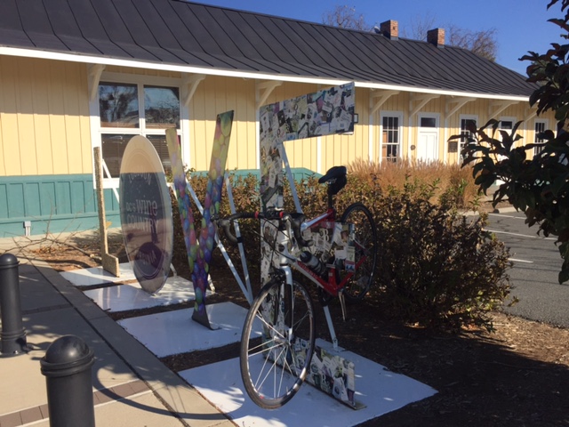
Brunswick, Maryland Train Station

It wasn’t long to the bridge into Maryland and over the Potomac River to Brunswick. In Brunswick, I looked for Mommer’s Dinner, a quaint little restaurant where Andrew and I ate back in 2001. I did not see it and would learn that it closed. I can’t determine if it was this year or just some time in the last 19 years.
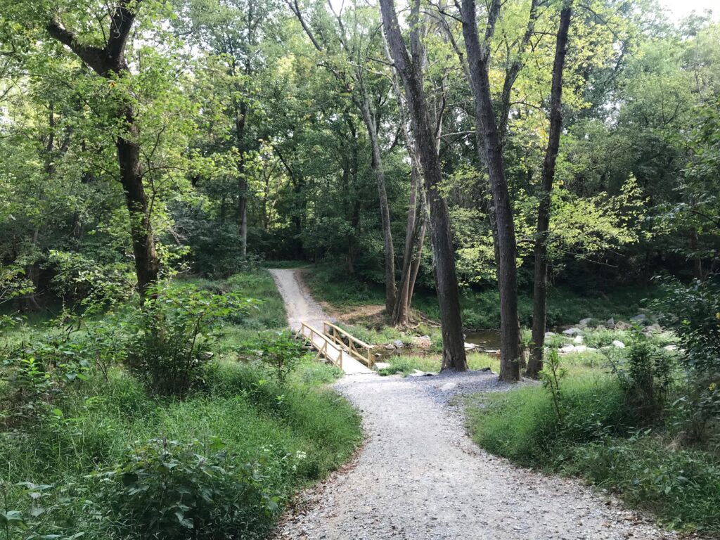
Bridge Out on the C&O

Crossing the B&O tracks, I came to the access road for the C&O Canal. And it was crap. I was expecting paved and this was a gravel road with many potholes. It was horrible.
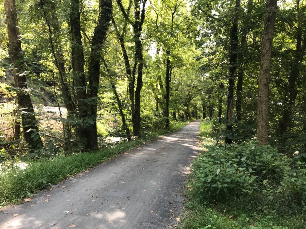
C&O

Thankfully, it would last one mile, just to the entrance of the Brunswick Family Campground. And it was 19 years ago that Andrew and I camped one night here. We thought we found a great campground only to be woken up too early by the trains just 50 meters away through the trees.
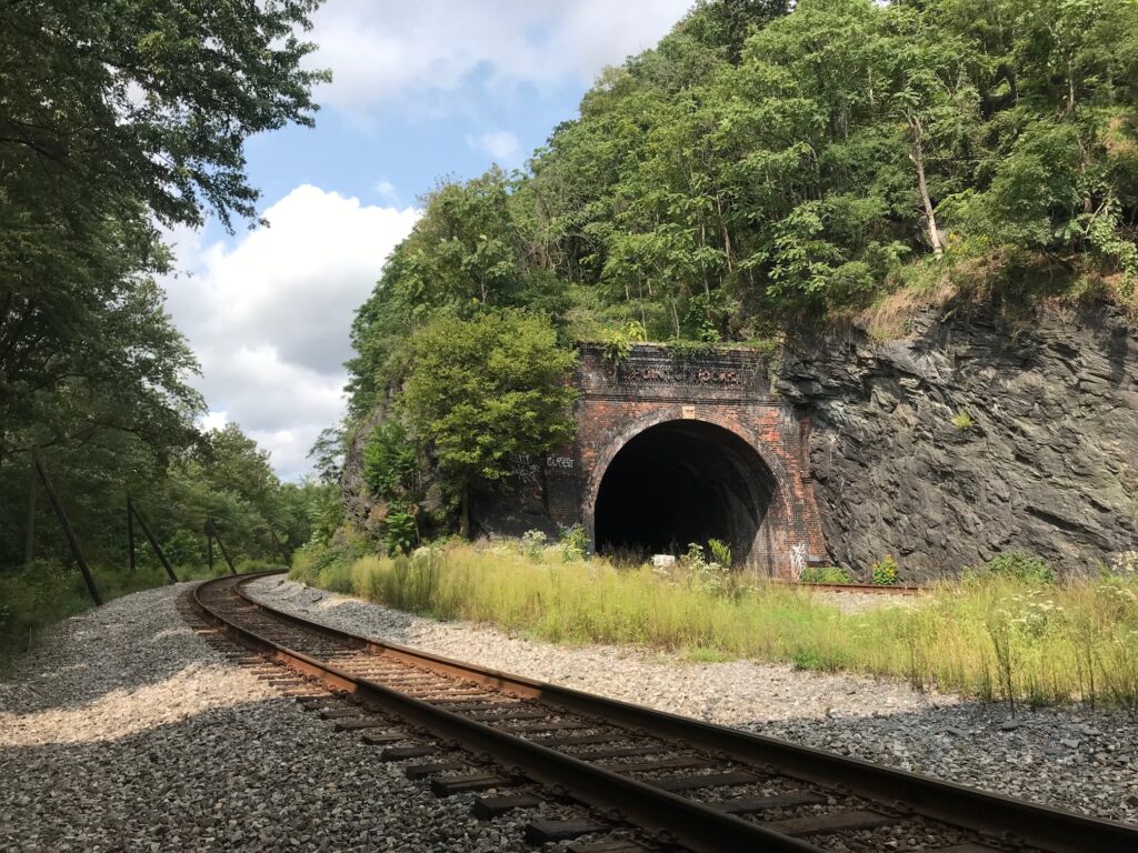
Point of Rocks, Md.

But the canal path became much improved here. I could see, without the rain, that this was definitely a crushed limestone surface. Except for one detour around a bridge that was out, it would be 19 miles of glorious crushed limestone. Along the way, I passed many cyclists. All were much slower than me. Every time I looked my speed was 17-20 mph. Not bad on this surface.
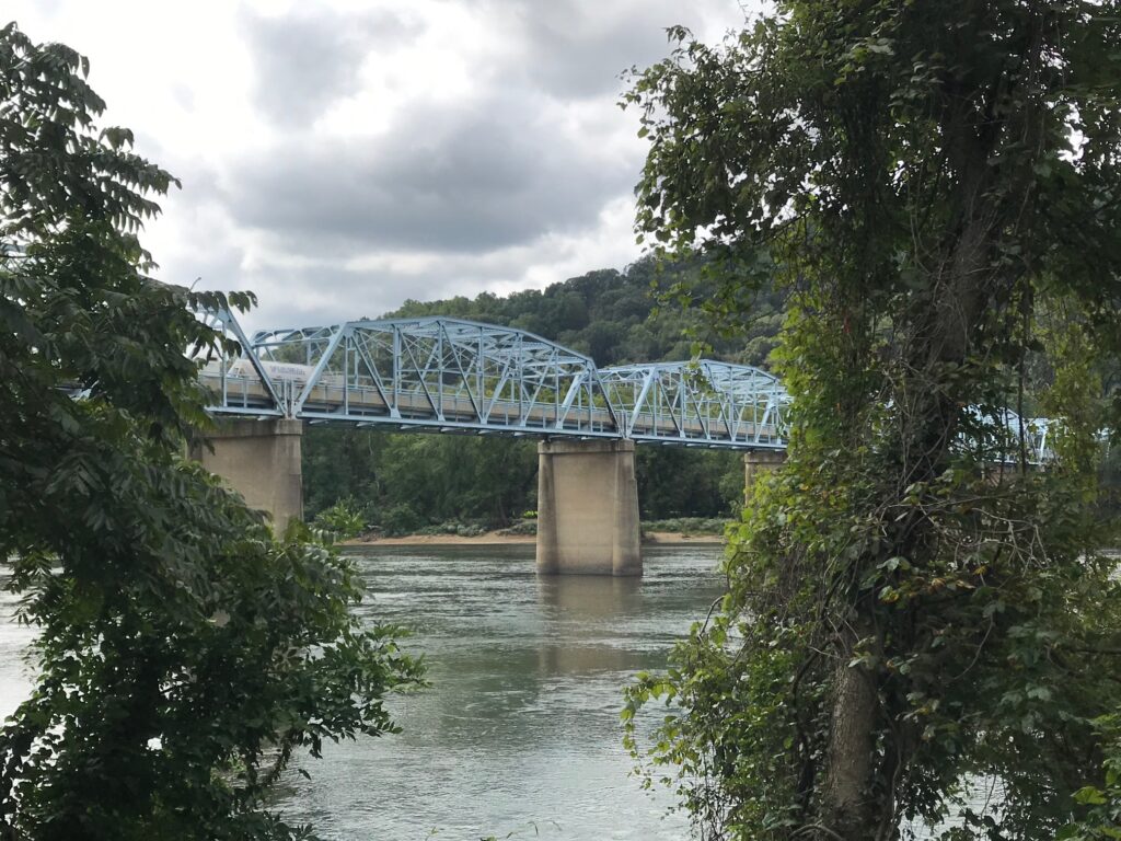
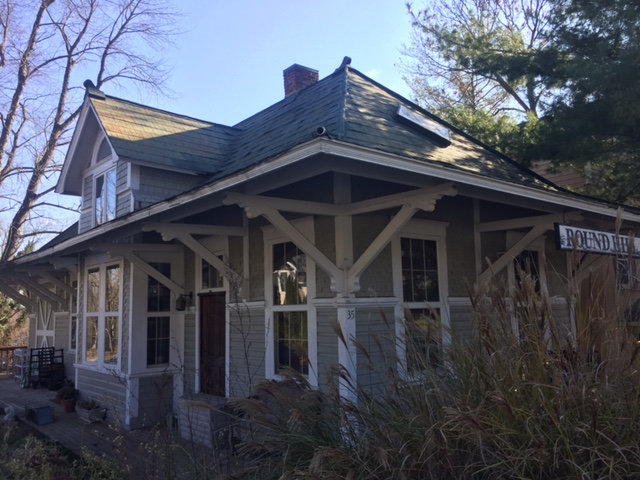
Point of Rocks, Md. US Rte 15 connects Loudoun Co. Va. with Frederick Co., Md.

There was one guy I caught and surprised. He was probably around 40 years old. He had mountain bike tires but was making great progress – probably 15-16 mph. I called out “on your left” which surprised him. He looked back, a little surprised, probably thinking he was the fastest rider on the canal today. But I was on a road bike and he had fat tires. If we switched machines he would be way faster, I’m sure.
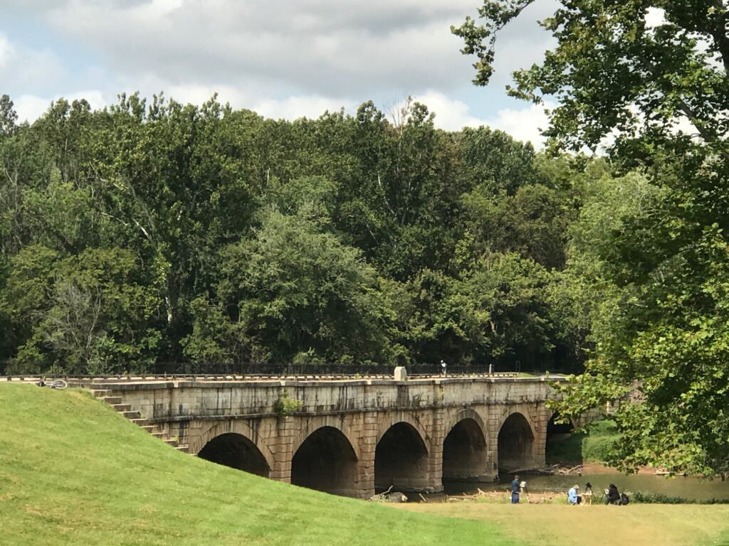
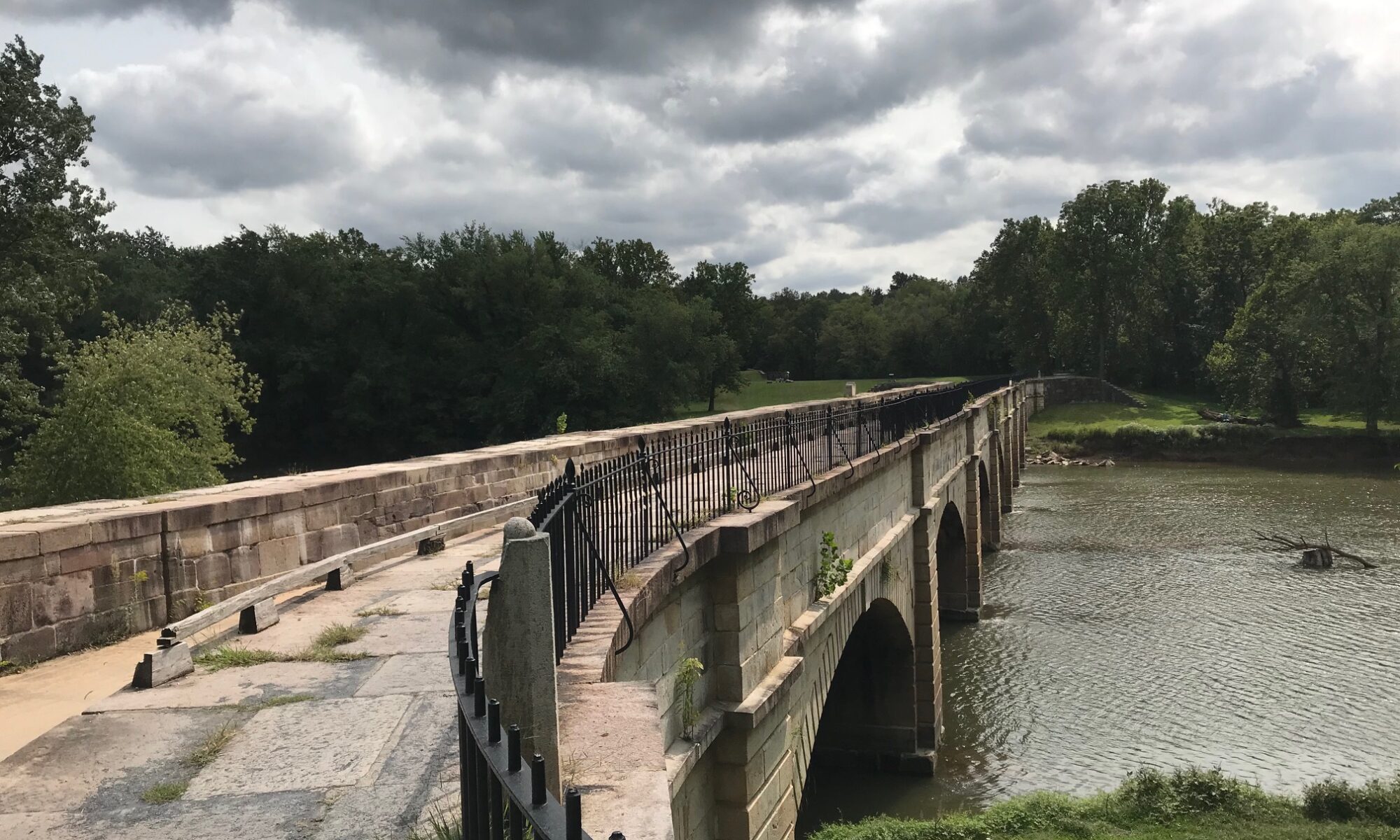
Monocacy Aqueduct

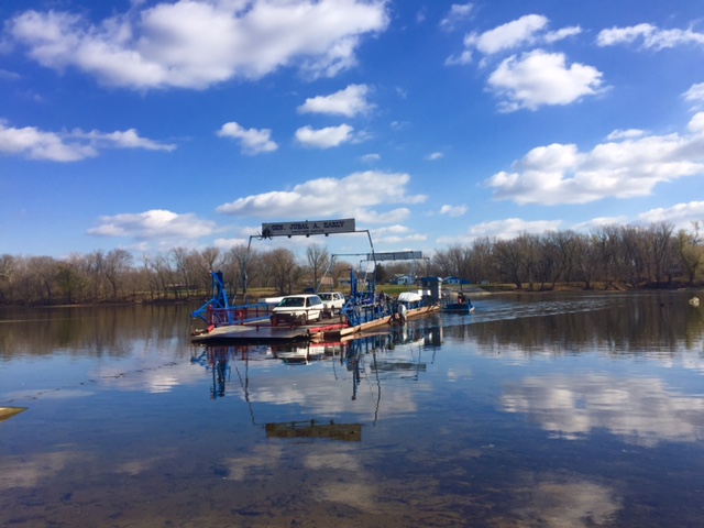
One week ago I was in a steady rain crossing the Potomac by ferry. Today was a gorgeous day. I arrived as the ferry was arriving from the Virginia side. I never stepped off the bike although I had to put a foot down for 4-5 minutes.
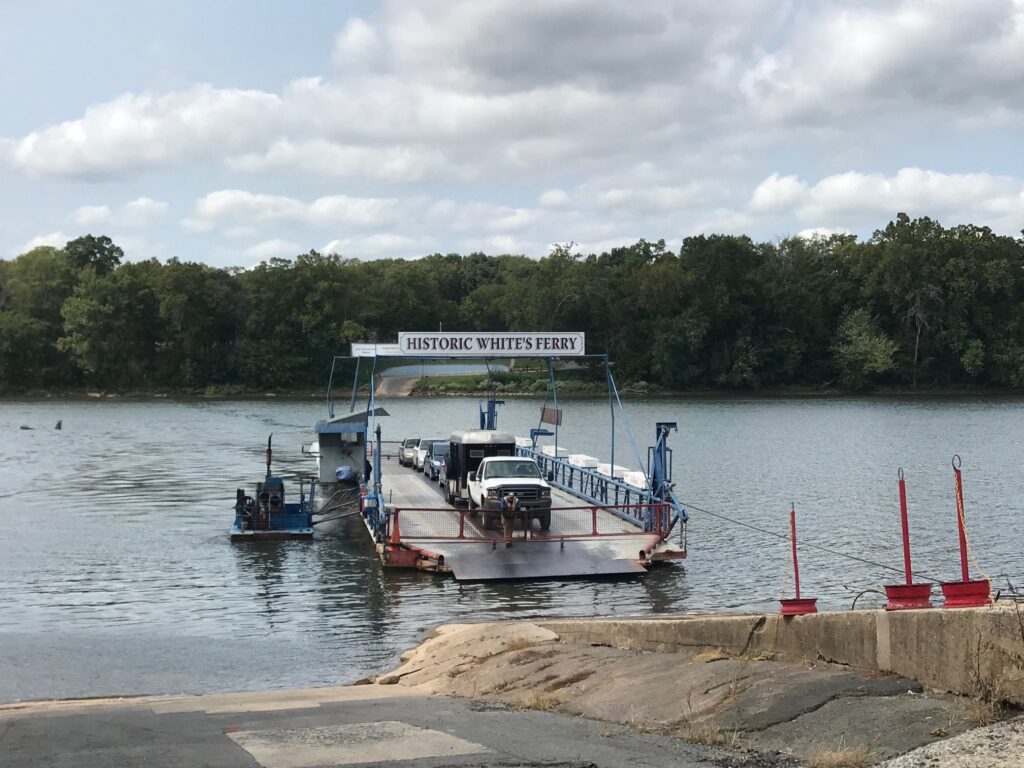
Whites Ferry

Leaving the ferry my legs felt good. There is a ramp here which is probably 15%. Almost always the lactic acid hits me here and I can barely pedal. Today I noticed no lactic. And although I was riding into a strong headwind and had 50 miles in my legs, I saw my time on this Strava segment was coming down. I would set a new PR. And I sort of smashed it.
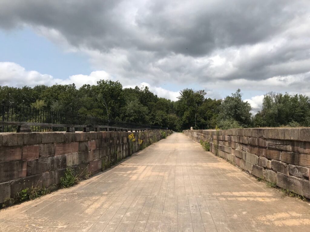
Monocacy Aqueduct

It was a beautiful day. This is a ride I would love to do with friends. It can be done with road bikes. The canal section isn’t bad except for one mile in Brunswick but that shouldn’t be enough to discourage one from this ride.
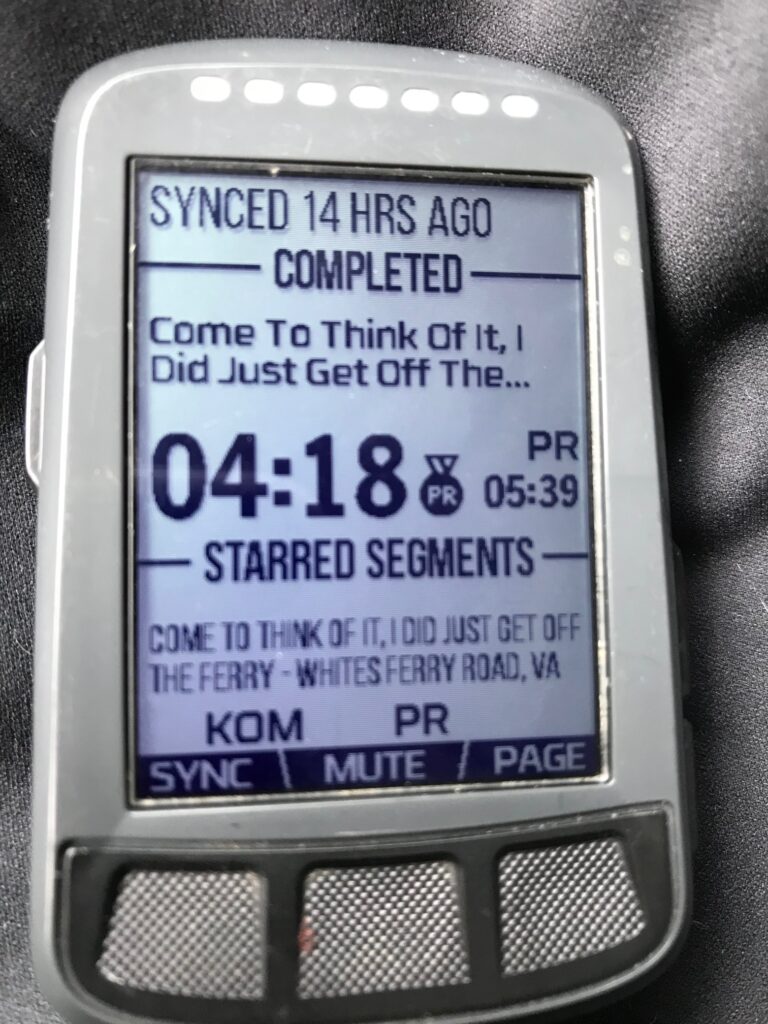

I sort of smashed my PR. It is good for #1 overall for my age group but just 67th total (out of 2691)

Distance: 55.0 miles
Average Speed: 16.3 mph
Weight: 181
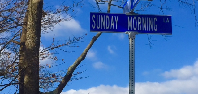
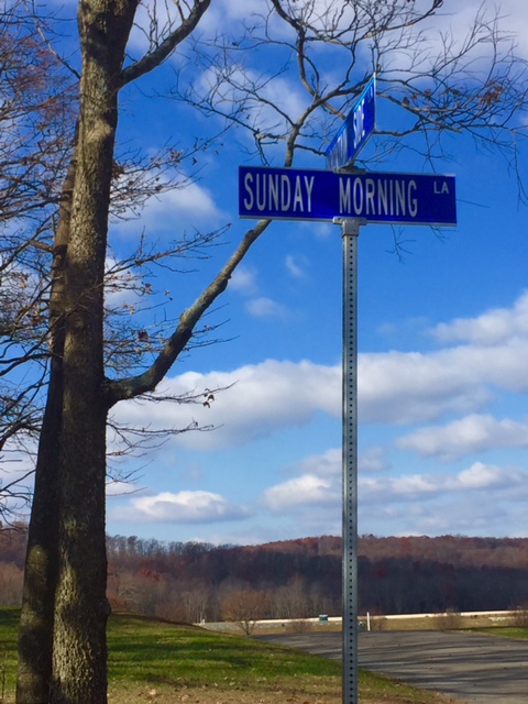
Sunday Morning

LEESBURG, VIRGINIA

Car problems led me to drive to Purcellville to meet Andrew who was in Pittsburgh. I did not plan to bike home simply because it was very cold in the morning with ice on the roads.

As it warmed up I decided it would have been a good day but I wasn’t prepared, either nutritiously or mentally. Nor did I have the clothing I needed for four plus hours on the bike in the cold.

Instead, I decided I would ride to Leesburg, spin a little on the W&OD, and Andrew could pick me up once he got to the car.

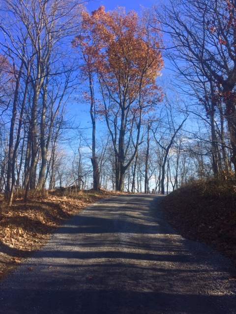
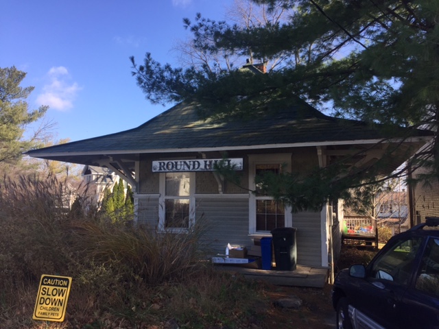
I tried to avoid Rte 9 as much as I could and decided not to take Hillsboro Road over to Purcellville. Instead I would ride to Round Hill but still have the sketchy portion of Business Rte 7 to Purcelleville to contend with. There is no perfect way to Purcellville but this trading one mile of Rte 9 for one mile of Rte 7 seemed like a fair deal.

At Purcellville I found my old friend, the W&OD. At Hamilton I jumped off the trail and onto the road before coming back at Clarks Gap. When I reached Leesburg I went exploring.

I turned on Catoctin Circle to see where it would lead. It lead me to a back entrance to Movern Park. I knew the main entrance was off U.S. 15 so I went through the park. The roads weren’t in great shape, potted and dirt, but no traffic.

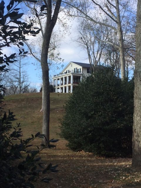
It was easy from here to ride to Whites Ferry. I passed the stately home that overlooks the Potomac and saw it was For Sale. I guess $3.0 million but it’s a bargain at $2.4 million. Buying it now.

Back in Leesburg I jumped on the trail until I heard from Andrew. I then returned to Leesburg and picked up U.S. 15 South and told him simply to look for me. My cell phone died so I figured we had one chance to get it right. We did.

It was a nice ride on a Sunday morning. A beautiful Fall morning.


Double WOD

RESTON, VIRGINIA

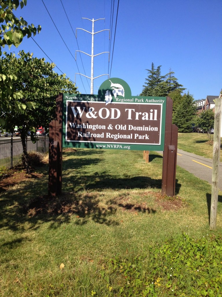
It’s local. I ride on portions of it all the time so I never write about it. It is the Washington & Old Dominion Rail Trail, which runs from Arlington Co., near Shirlington, to Purcellville in Loudoun Co.

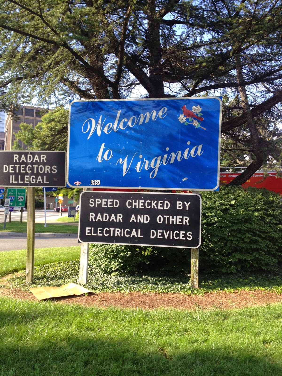
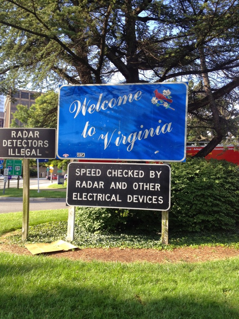
Sign for motorists as they enter Virginia from the Key Bridge in Georgetown
Sign is in Rosslyn next to the Marriott

I could do it more justice by writing about its history. I won’t. But it runs 45 miles from Arlington to Purcellville, most of the way on the right of way of the old Washington & Old Dominion, or W&OD, or simply WOD (Wad).

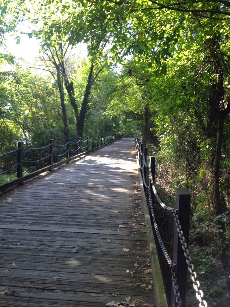
Not this section but the same boardwalk on the Mount Vernon Trail
I crashed on this on July 3, 2013

I wanted to do a double, out and back, but wasn’t sure where I would start. I also knew that a double would give me 90 miles and I might as well go for 100, it being so close and all.

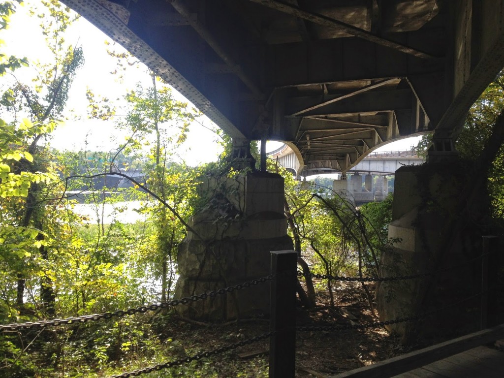
Passing under the Roosevelt Bridge into D.C.
Potomac River

Ideally, I’d like to start at the terminus near Shirlington. That is the low point on the trail. And I would head west to Clarkes Gap, the high point, which is between Leesburg and Purcellville. After a turn around it would be all downhill, right?

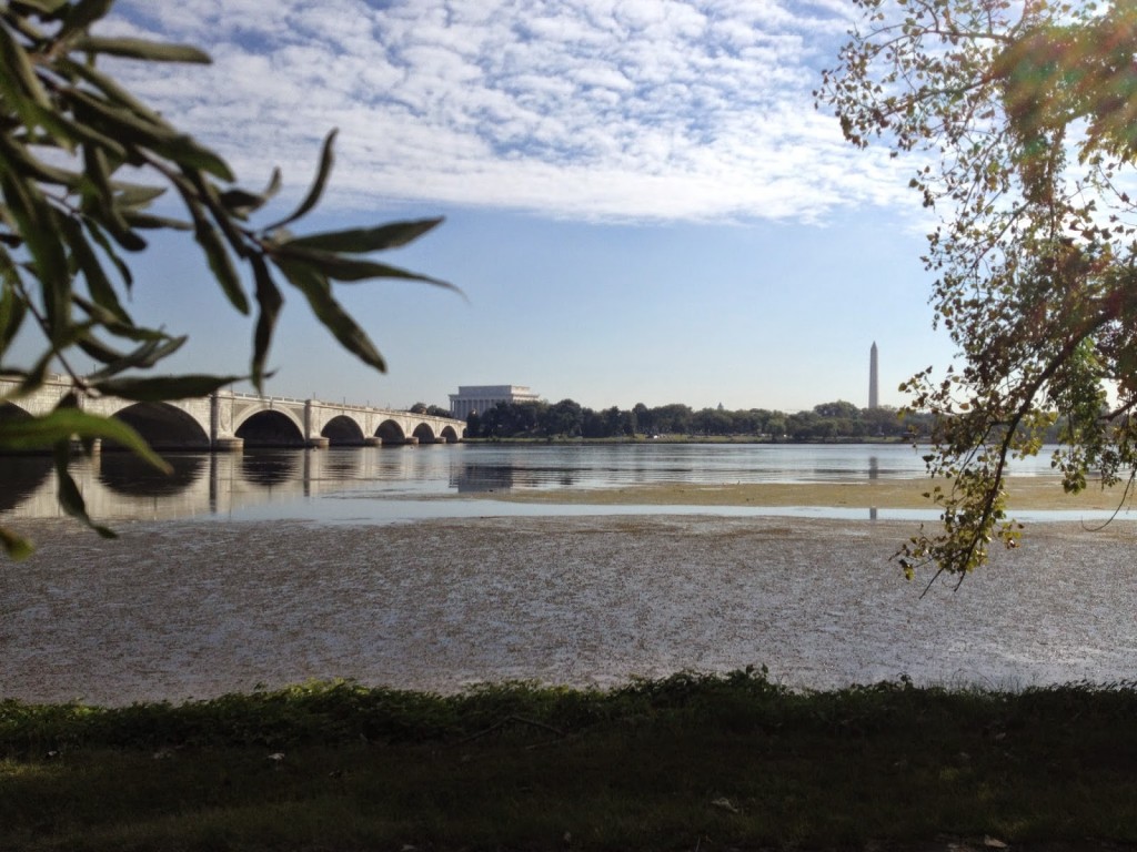
Potomac River looking at Memorial Bridge across to D.C.

Well, not exactly. But that’s the rough way to head. And for the extra 10 miles I would add the “Airport Loop” that goes by Washington Reagan National Airport. That uses the Custis and Mount Vernon trails.


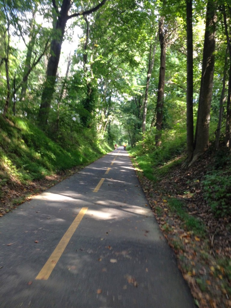
W&OD between Purcellville and Hamilton

Parking was simple near Gallows Road in Dunn Loring. I started with the Airport Loop. At MP 9, I headed east and picked up the Custis Trail which goes along I-66 into Rosslyn. From there I connected to the Mount Vernon Trail which runs past the airport.


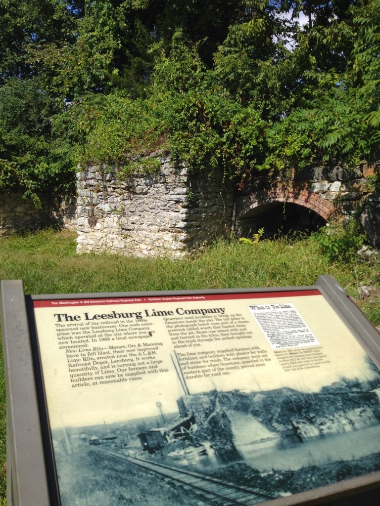
Lime Kilns in Leesburg

I was thinking of taking pictures along the way. It was at the end of the Custis Trail or the beginning of the Mount Vernon Trail where I crashed five years ago and broke my wrist and discovered cancer. Then, no more than 1/2 mile further, on the boardwalk was where I crashed July 3 last year and broke my collarbone. This route has not been good to me.

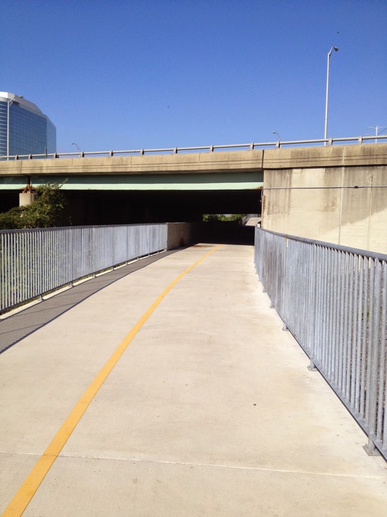
Four Mile Run Trail under I-395 Shirley Highway

The Mount Vernon Trail connects to the Four Mile Run Trail which connects to the beginning/end of the W&OD. Then the first eight miles are uphill. A gradual uphill, mostly, except where a railroad grade is not possible and the trail moves onto or next to a street.

Start/Finish at Shirlington

From Gallows Road through Vienna, Reston, Herndon, out past Dulles through Ashburn to Lessburg, the trail is mostly flat. There are sections of 1-2% grade, either uphill or downhill, in both directions, but I wouldn’t call one direction harder than the other.

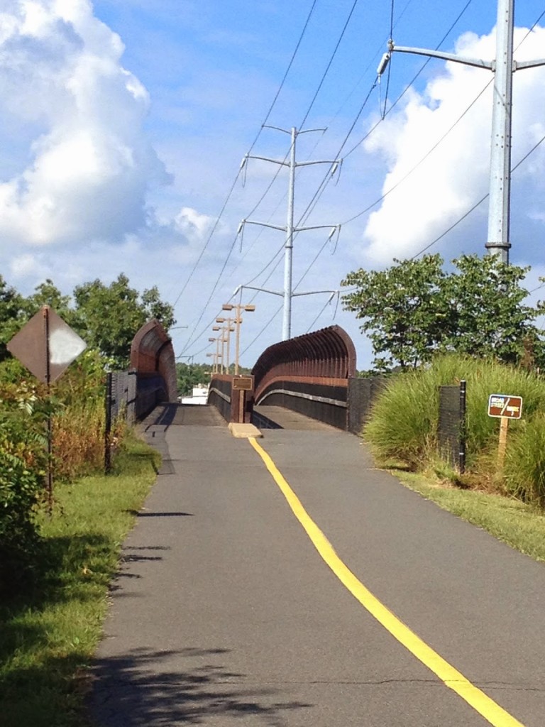
Bridge on W&OD over Rte 7 in Falls Church

At Leesburg the trail climbs up to Clarkes Gap, through a heavily wooded section which is arguably the nicest on the trail. At Clarkes Gap it goes through Hamilton to Purcellville which is the turnaround point.

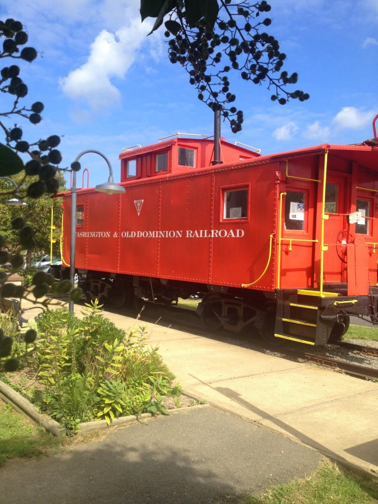
Caboose in Vienna

That is it. I started at MP 9 and did a loop which made it 26 miles. Purcellville was 63 miles and from there it was another 35 miles or so back to the car. I diverted, both ways, to The Bike Lane, at Reston Town Center to say hello to the guys and fill my bottles with water.


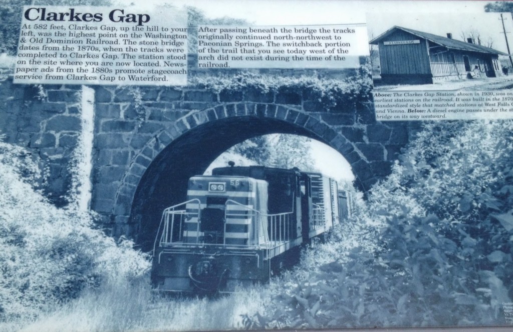
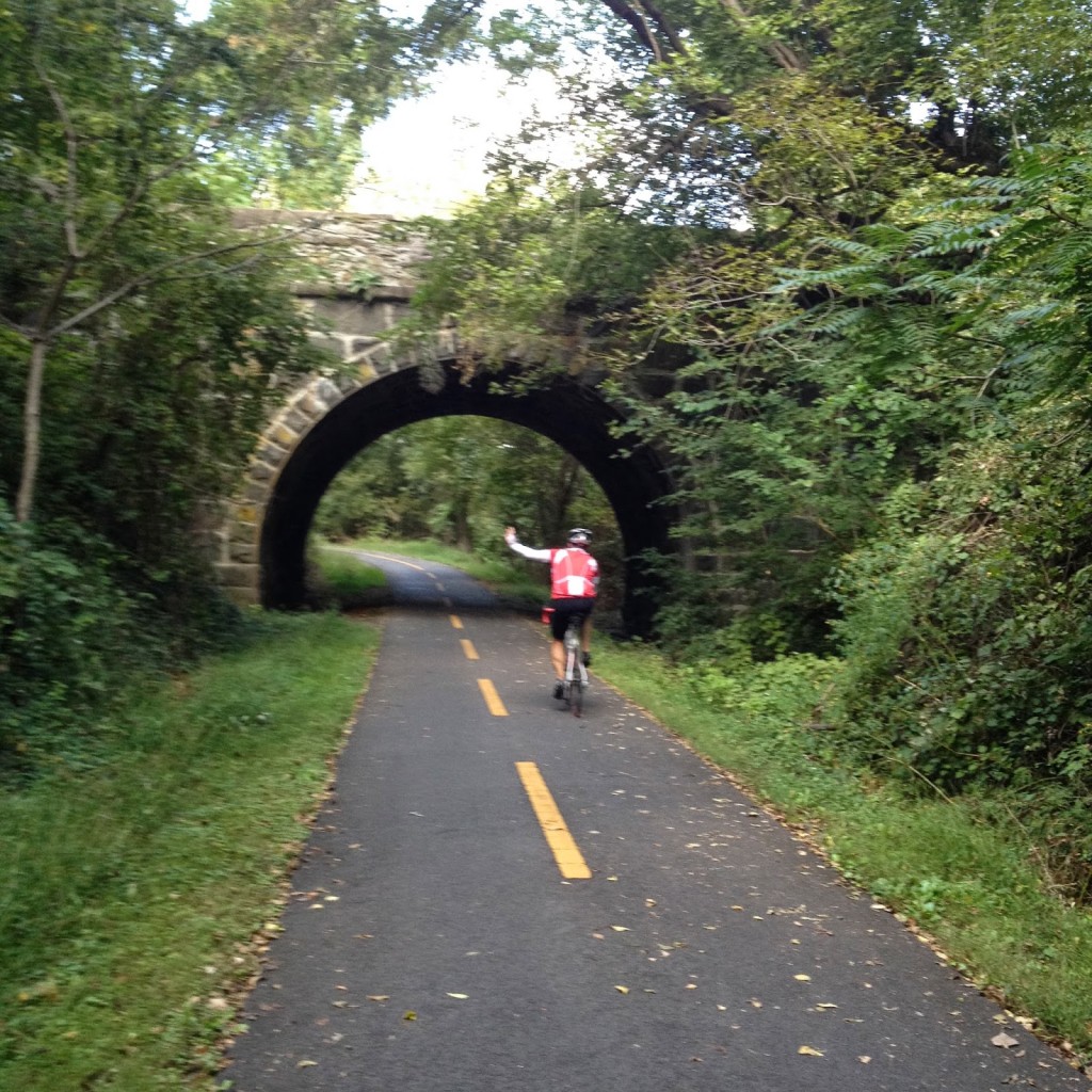
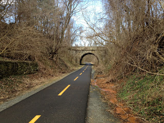
Stone Bridge at Clarkes Gap

The W&OD is traffic-free but there are also many intersections with stop signs or even traffic lights (usually very long lights). But if one wants 100 miles on a bike and no traffic – this is it. You are never far from a bike shop or restaurant. In fact, I forgot my saddle bag with tubes and CO2 and never ever worried about it – confident that other riders could help me if need me (I did carry an extra tube so I wasn’t a complete jerk).

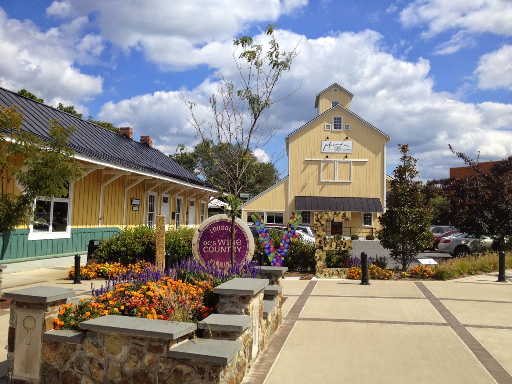
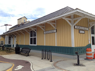
Purcellville, Va.

The Little Things

RESTON, VIRGINIA

The shop ride at The Bike Lane in Reston was canceled today because of the overnight rain and the rain forecast for most of this morning. But I went to Reston to pick up some bike parts and decided to ride on the W&OD.

I wasn’t prepared for a long ride but the more I rode the more I wanted to ride. Until I bonked.

But it’s the little things that often make a ride. And today had some of those moments.

Around Herndon I passed a young woman, Ellen, who appeared to be just restarting from a stop. I was then surprised to see that she was sitting on my wheel. I wanted to warn her that she should announce her presence lest she be hit by some flying snot rockets, of which there were a few.

We passed a man who had two dogs on leashes and one, a pit bull, appeared determined to CHASE. Someone on a bike. Ellen moved to the outside of me. I thanked her for letting me be closest to the dog.

We didn’t have long together. She was out for a short ride before turning around. But our brief conversation, especially me recalling my encounter with those Pennsylvania dogs was a simple pleasure.

I kept riding and reached Purcellville where I left the W&OD and went to Loudoun Golf and Country Club. There I met my son-in-law, Bryan Snow. Another simple pleasure.

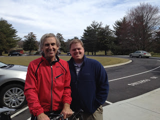
With Bryan Snow at Loudoun Golf and Country Club

The ride to Purcellville was tough. A strong wind was blowing — at times it was a direct head wind while at other times it was a cross wind. Plus it is a gradual uphill climb to Purcellville.

The terminus of the W&OD at Purcellville

I had hoped for a strong tail wind on the return but the winds were swirling and were mostly cross winds. So I fought it all day. I was not prepared for a long ride, I had no water or food. And no money either. About 10 miles from the finish I felt it. I bonked. I was out of energy. I knew it because even the slightest grades and I was out of the saddle rather than sitting and producing a constant pedaling rhythm.

While it’s not weighing on my mind like the cancer surgery of 2 1/2 years ago, my upcoming surgery has me appreciating each remaining ride until I take the forced time off the bike. And appreciate the little things such as a simple conversation or a short visit.

But next time I’ll take some food. Or at least water.

Verified by MonsterInsights