HANCOCK, MARYLAND
It was 1974 when I first drove National Highway (aka U.S. Rte 40) up and over Sideling Hill. It is a four-mile climb and my little car struggled to go up in 4th gear. Well, it never did. Sometimes third gear and always downshifting to second gear to take the horseshoe curve at the top.
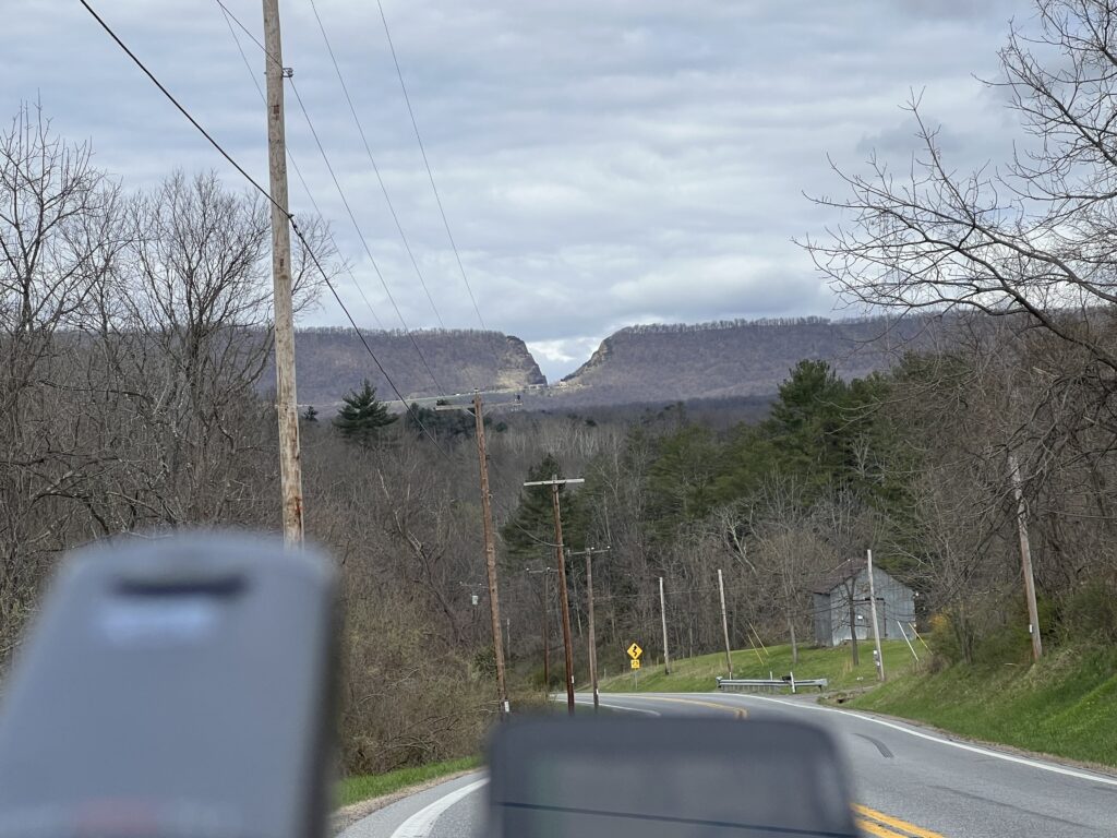
Interstate-68 was constructed and finished, at least parts, by 1991. It which followed some of old US 40. The most impressive feature on I-68 is the cut in the mountain so the highway could go through a gap instead of crossing all the way over the top.
There are only a handful of crossings over this ridge. One of those in Pennsylvania near Breezewwod is now the Abandoned Turnpike. The tunnel is one that I have ridden through probably a dozen or so times.
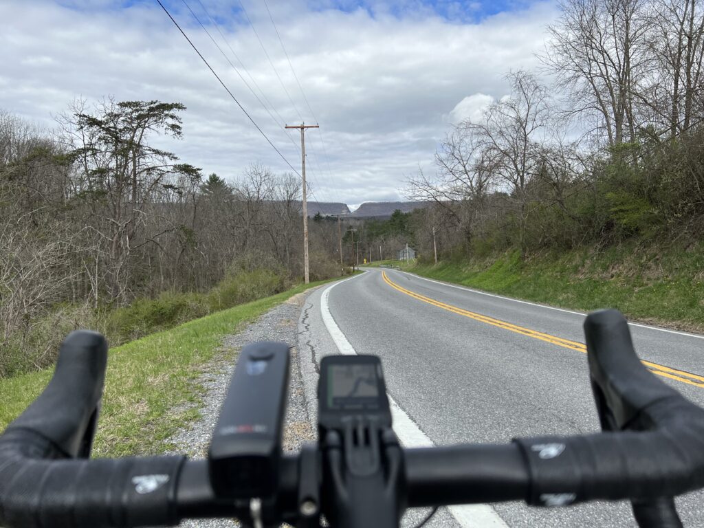
But today would be about the climb. I parked at the C&O Canal parking lot in Hancock. I began with a short climb and the first four miles of the profile looked like sharks’ teeth. At Mile 4 the climb began.
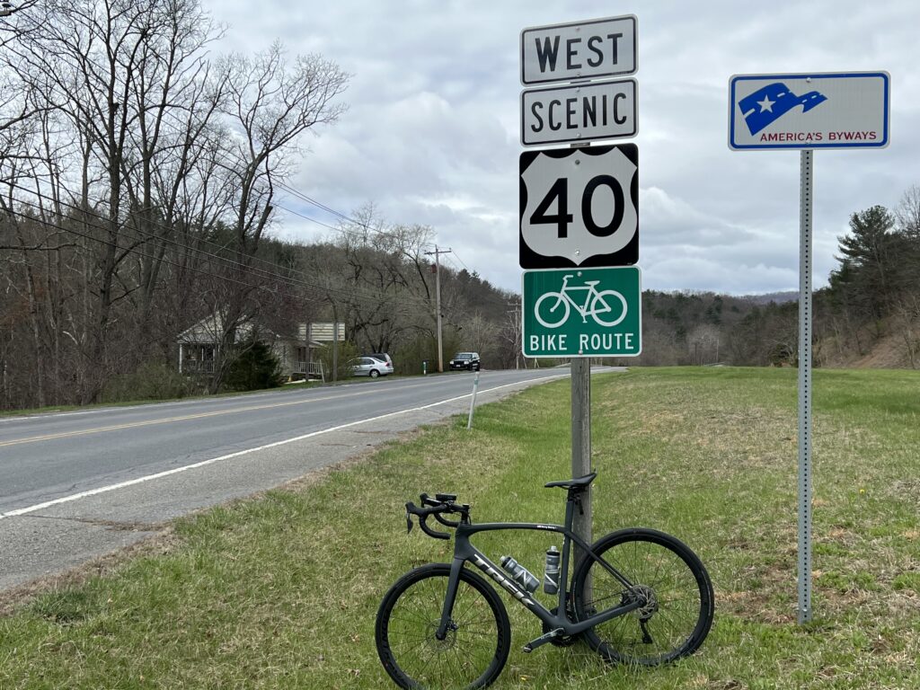
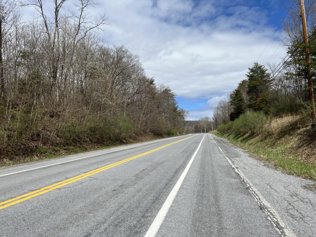
Although the speed limit was 55 (or was it 50?) mph the very few cars all gave me wide berth. Or often it wasn’t necessary as there was a wide shoulder I could use although it still had some winter dirt in the lane.
This was my first real use of the new display of my Wahoo. As it displayed the profile of the climb each section was color-coded as to grade. That was pretty cool.
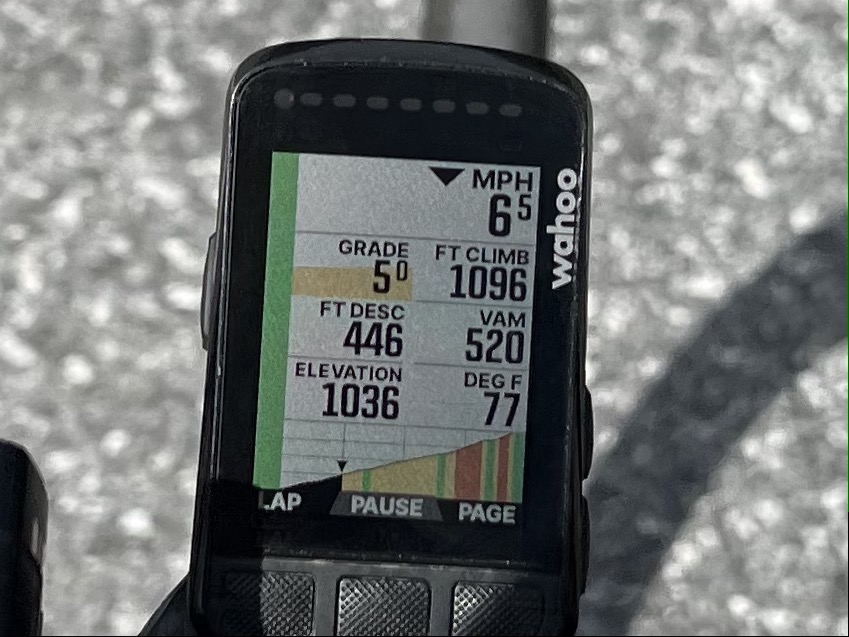
I didn’t race up the climb but kept a steady pace. I concentrated on remaining seated as I often pop out of the saddle more than most cyclists. I would say this was relatively easy. I also left room for improvement if I would do this again.
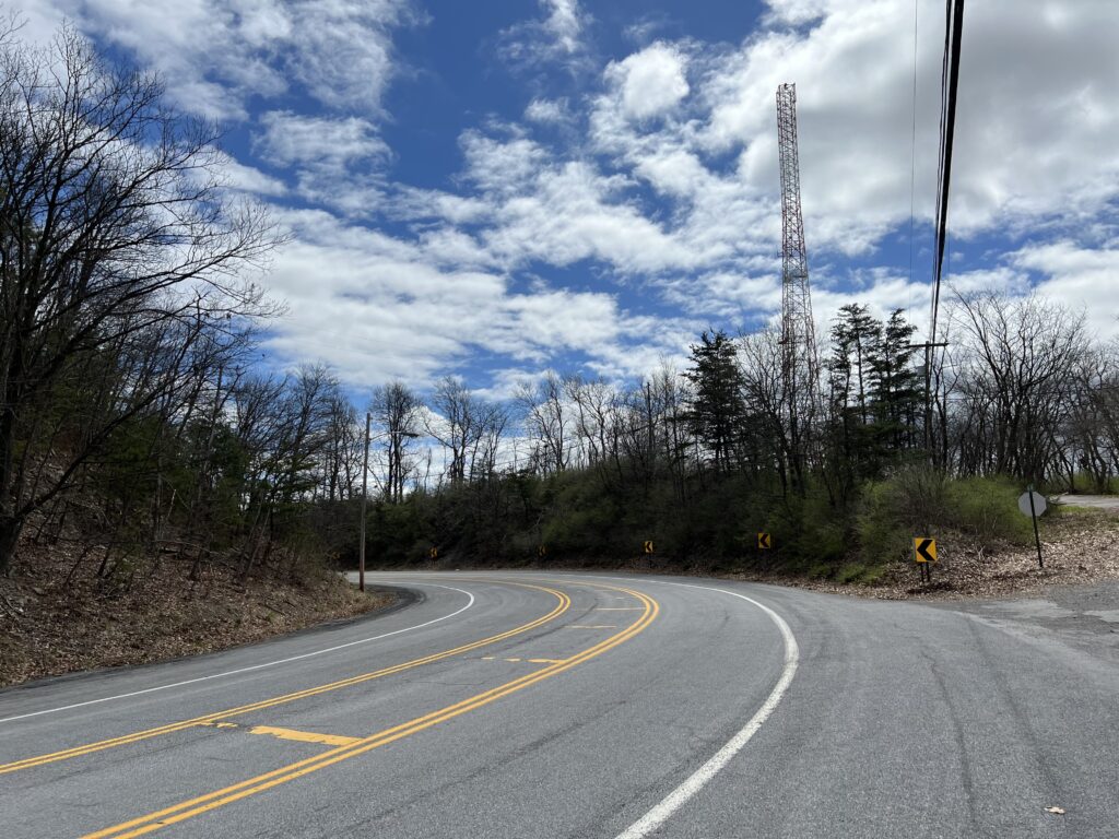
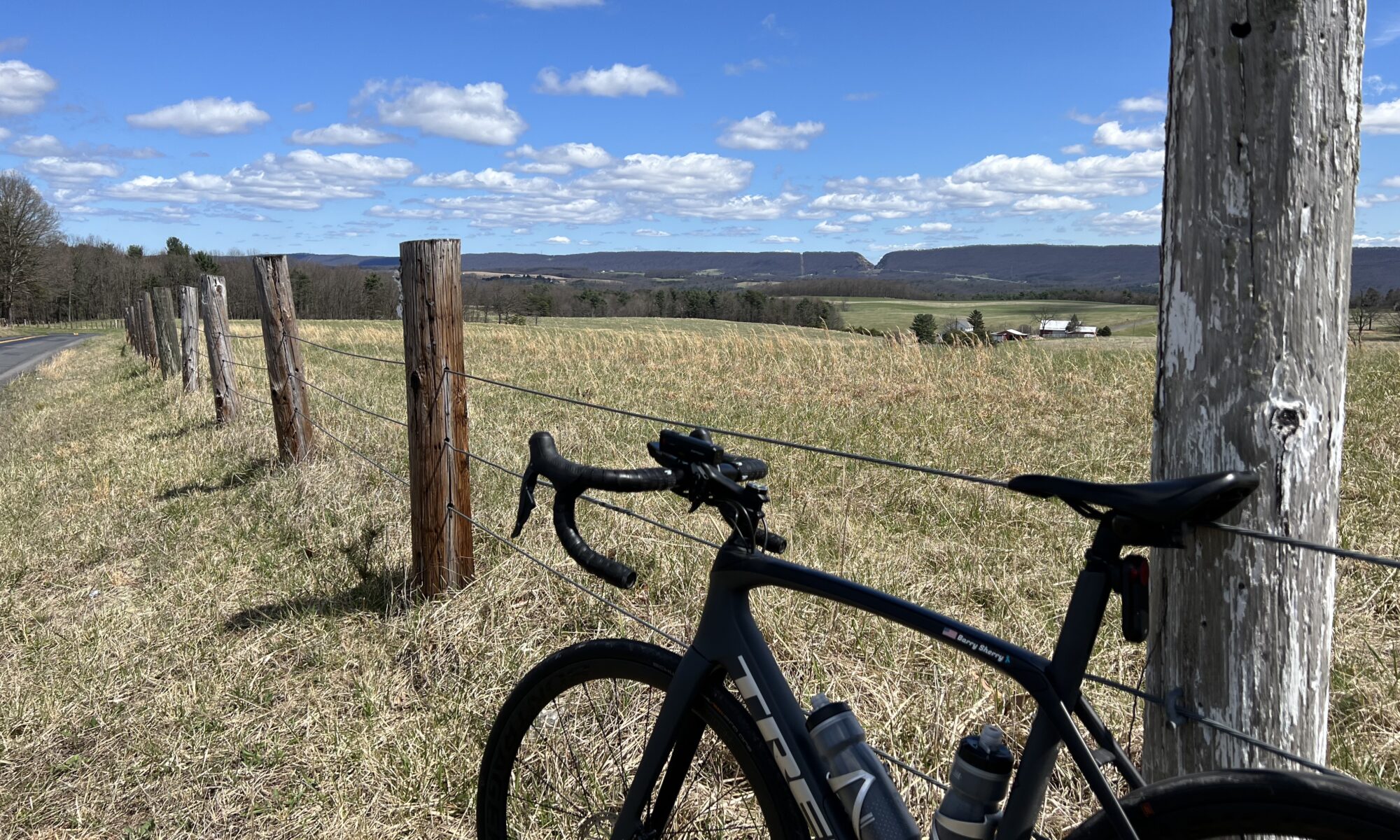
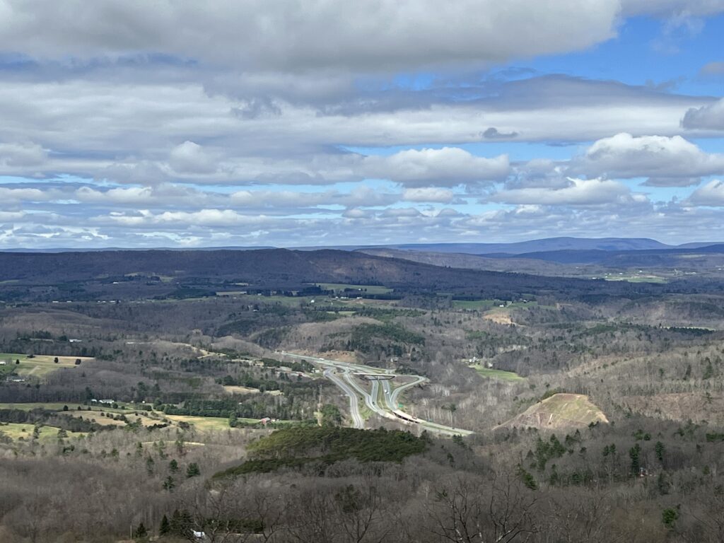
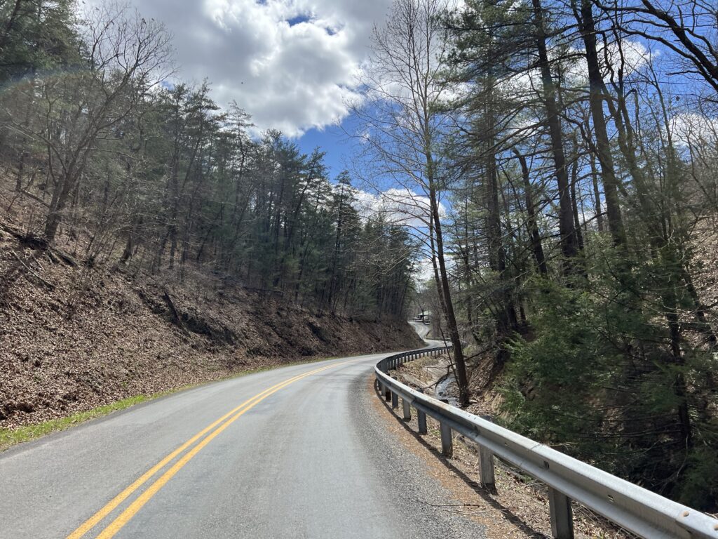
Once over the top and a quick stop at the scenic overlook, I began the descent and squeezed the brakes. It was windy, the road, while straight, wasn’t smooth, and there was a sharp turn-off just one mile down the mountain. Once on McFarland Road, I needed to squeeze the brakes a bit tighter. The road was steeper, 10% in many parts, and technical (lots of curves).
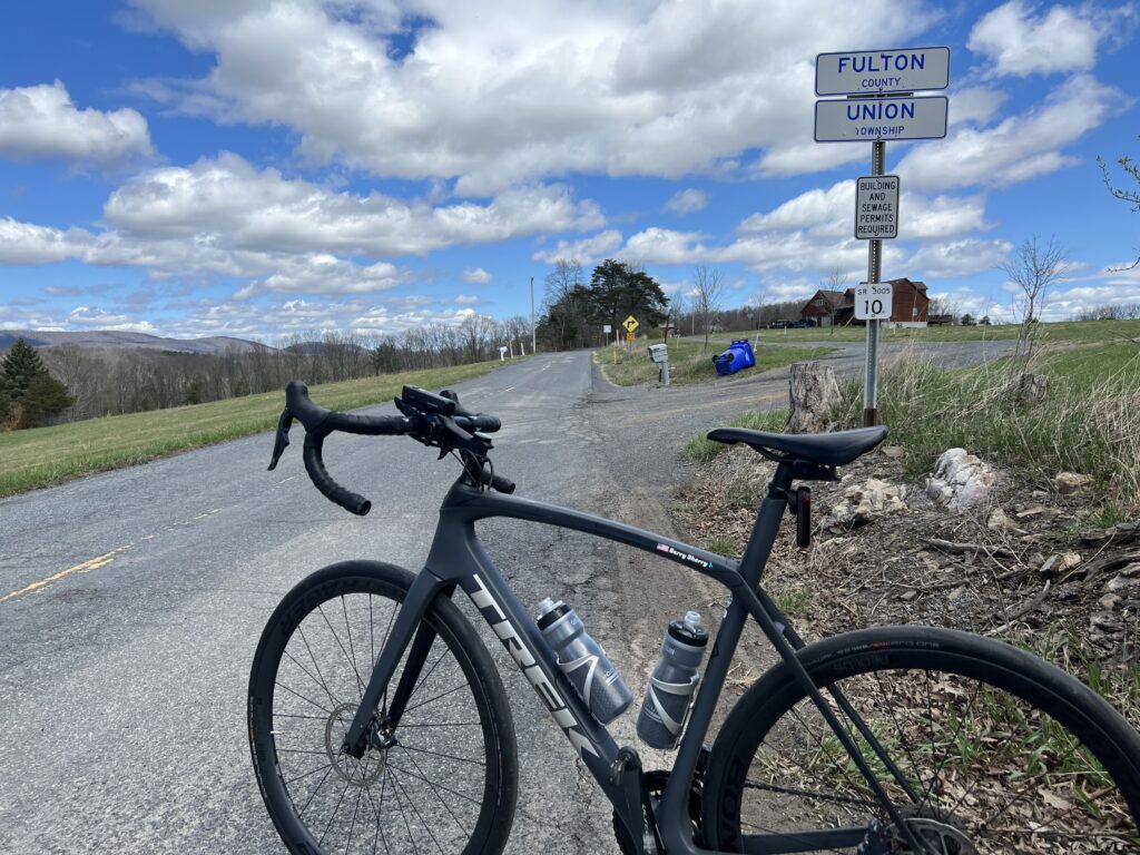
I had mapped out a Pennsylvania portion and followed High Germany Road. It was only two miles to the state line but it was more climbing to the Mason-Dixon Line. The border was not marked other than by a Fulton County sign.
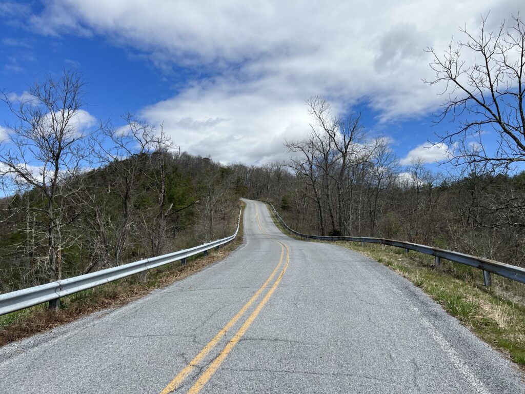
I turned onto a gravel country road which was okay because I expected some gravel. I did not know this road was not it. A review of the map shows this wasn’t supposed to be gravel. It should have been paved (according to the map).
And then things started to unravel. I followed Buck Valley Road and my computer indicated to bear left which was a gravel road. I chose to stay on pavement until Wahoo was determined for me to make a hard left up a gravel road.
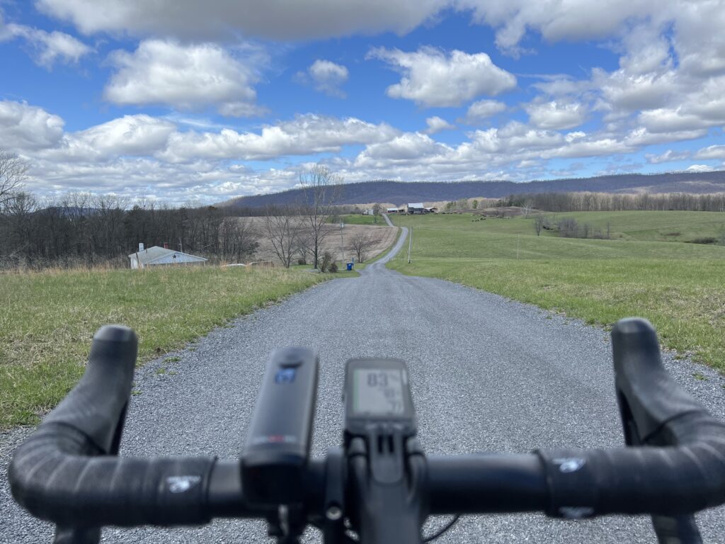
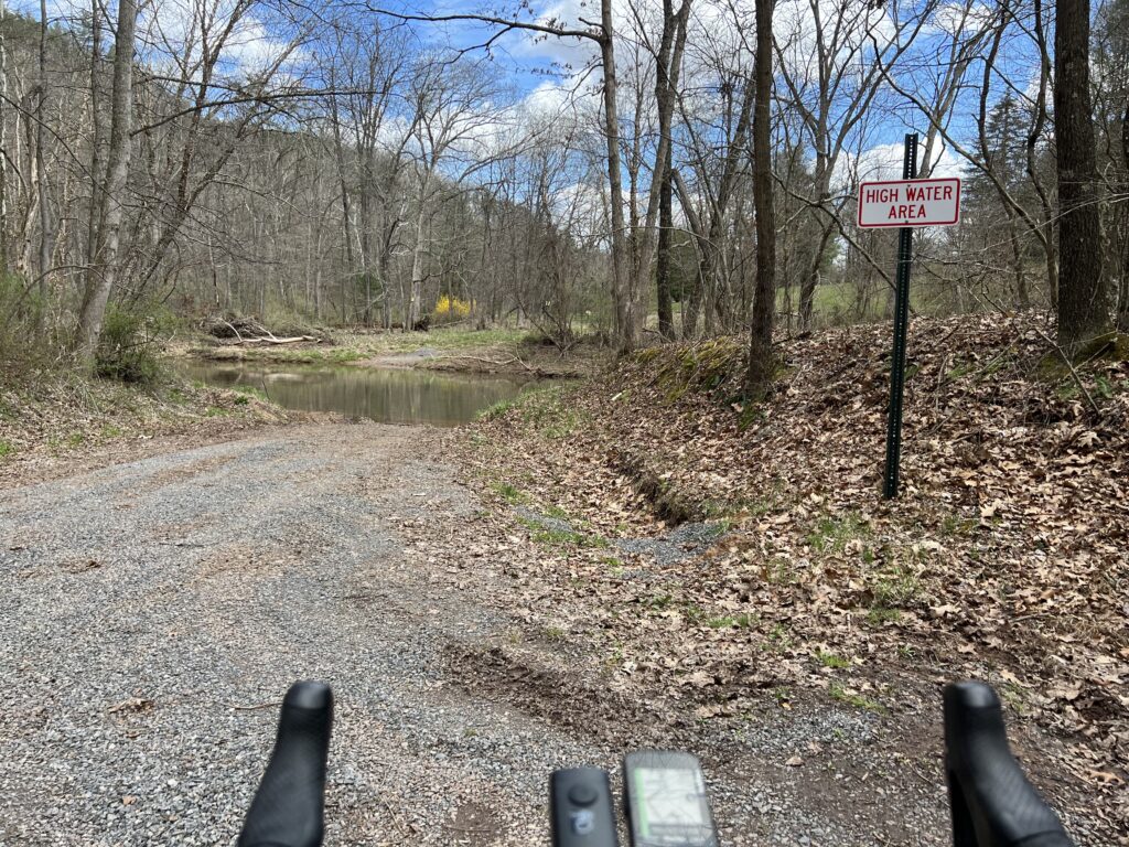
It was sketchy and I was going deeper into the woods. I came to Sideling Hill Creek and there was no bridge. No crossing. Wahoo wanted me to follow a hunting trail but I turned around.
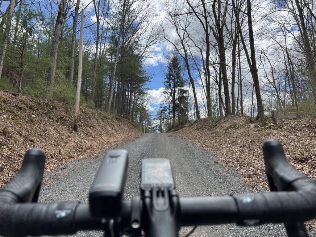
I was a little bit lost and a little bit scared. I was out of food and my water was low. I hoped for a cell signal enough to find a map and was able to get one. I could see the route I needed to get me to Orleans.
When I came to the climb to Town Hill I decided to forgo it. Wahoo said my next turn, here, was in three miles so I knew the climb was 1.5 miles. My legs didn’t have it. I was beat up from 3500’ of gain in 25 miles. Since it was an up and back, or up and down, I decided to skip it and head back to Hancock.
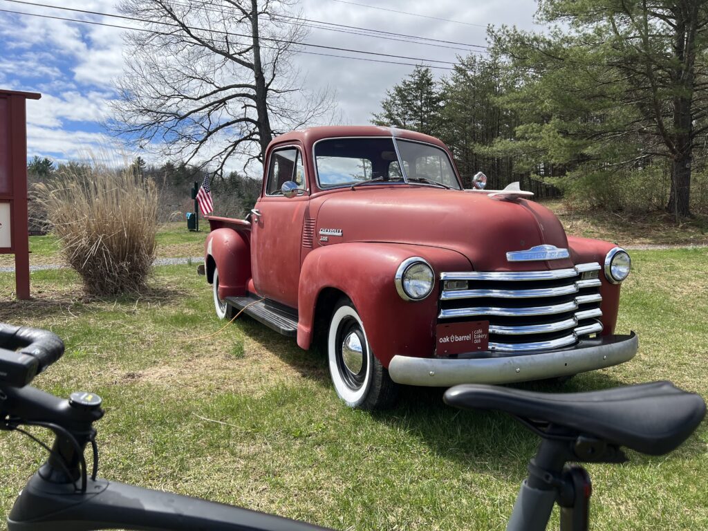
The Orleans Road was delightful. It was six miles but I don’t remember any traffic. The first three miles were rollers followed by a delightful three-mile downhill. It was probably a 4-5% downhill – not too fast where I needed to touch the brakes. It was the most enjoyable part of the ride.
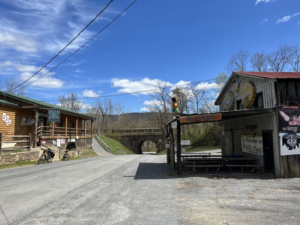
I came to Orleans and passed Bill’s place. I recognized it from my Pittsburgh to D.C. trip in 2004. I had planned my day on stopping here for lunch and I picked the week he took his summer fishing vacation. And it was closed. Today there were two cyclists here, outside. It may have been closed today too although more likely they were just milling around before leaving.
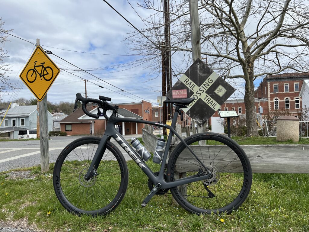
I had mapped to follow New Germany Road and the one-mile climb away from the Potomac River did not look very appealing compared to the alternative. The alternative was the smooth-as-silk Western Maryland Rail Trail extension. I hadn’t been this far and hoped that I would have 18 miles of paved trail back to Hancock.
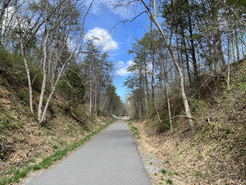
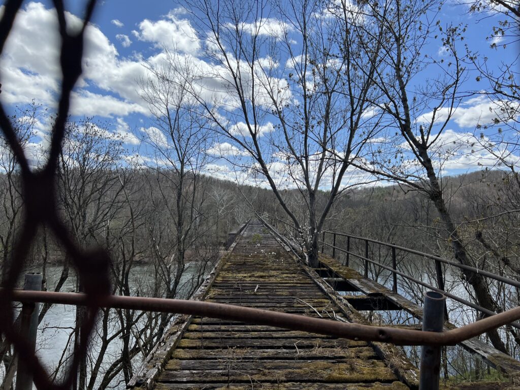
I jumped on the trail and went the wrong way. Not crazy. I just wanted to see how far it would go in the opposite direction. Not far was the answer. It was less than a mile (0.8) when it came to the Potomac River. There is a beautiful bridge here waiting to be converted to trail use but it looks like it might remain closed forever. Apparently, West Virginia, on the other side of the bridge, is not real thrilled about spending money expanding the trail into the Mountain State.
After turning around I followed the trail a mile and a half where it ended at the Indigo Tunnel. A ramp takes users down to the C&O Canal Towpath where one must ride a little more than two miles to pick up the rail trail again.
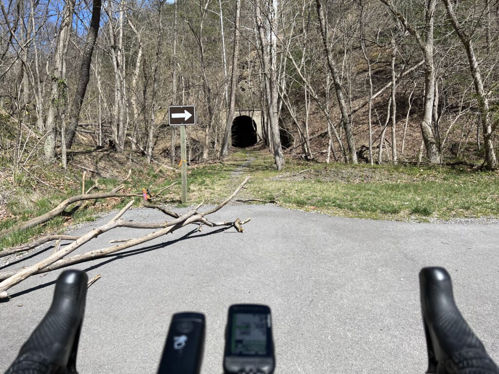
Paving the trail and opening it through the tunnel seems like a simple proposition. Except there is a colony of endangered bats that live in the tunnel. So for now the bats win and that’s okay with me.
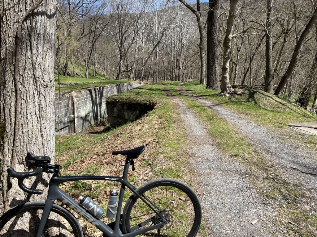
Except that I was riding a road bike today and the towpath is the towpath. Suggestion to the National Park Service. How about paving the two miles of the twopath so the users of the rail trail will have a paved trail the entire way?
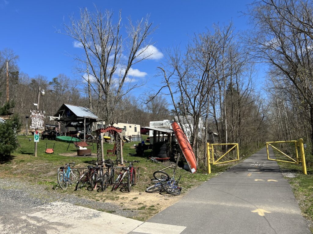
One back on the trail it was familiar territory. When I first started riding this trail the eastern portion was very rooted. This is from Hancock (MP 10) to Big Pool (MP 0). That was the first section completed. The western section, up to MP 22, was newer and the tree roots had not started peeking through the surface of the trail. That has changed in the last few years and today it was very rooted, especially near MP 20.
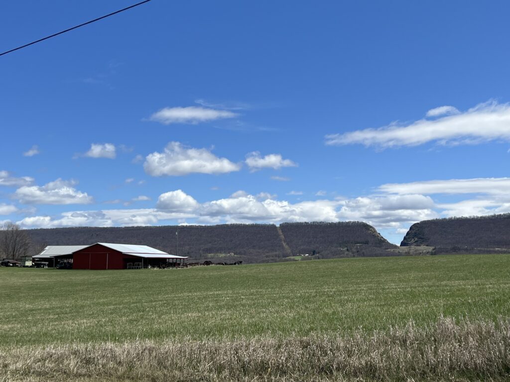
But it was sure nice to have almost 30 miles of flat after all the climbing. The legs were sore but I avoided any mechanicals or crashes. Life is good!
IF I do this ride again. Pennsylvania is still doable but must stick to all pavement. Skip Schultz road by staying on High Germany Road to Harmonia Road. That probably would add 1.5 miles. Then stay on Buck Valley Road. There are no gravel shortcuts here. Lastly, make the climb to Town Hill B&B for the best views around. And take High Germany Road out of Little Orleans. It is a one-mile climb but followed by great downhills before merging back with the WMRT. It also avoids riding on the canal.
