Cap to Cap to Cap

RICHMOND, VIRGINIA

It was a most beautiful day. Tim and I drove to Richmond and parked at the Great Shiplock Park which is about one mile from the Richmond Main Station. We rode to the station and waited.
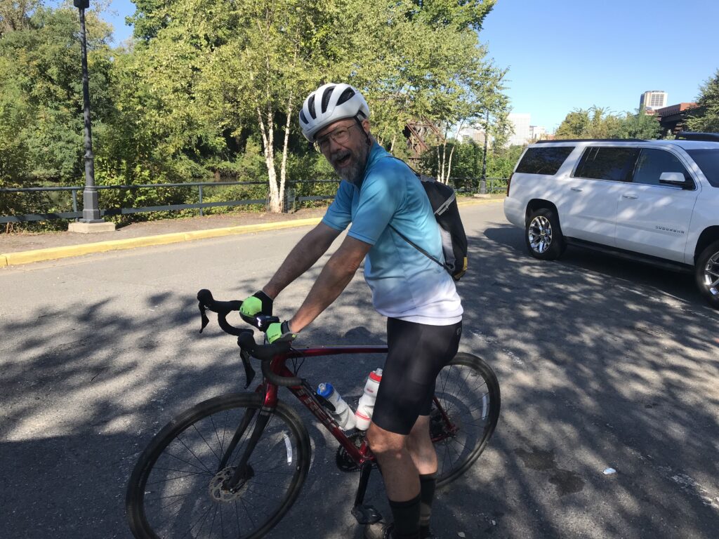
Tim and the Great Shiplock Park

If only someone knew how to run a train. Sigh. A woman greeted us (nice) and told us the train was running late. Still under pandemic protocols, most of the large open station was closed off so people had to be in one area. The doors to the outdoor platform where one could breathe fresh air were locked.
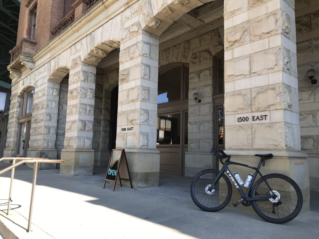
Entrance to Main Station, Richmond

When the train arrived and arriving passengers disembarked they could not open the doors to get into the station. And we could not leave to get to the platform. Finally (maybe no more than two minutes but for some people, it probably seemed much longer), an employee came and opened the doors.
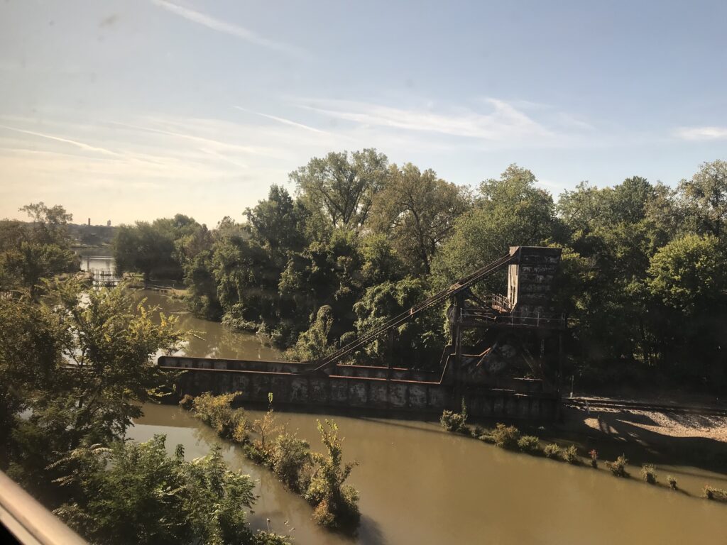
Great Shiplock Park (viewed from Amtrak)

Tim and I rolled our bikes onto the platform. The conductor said he had a bike rack in this car and “back there.” I guess I took this one and Tim went back there. We went to separate cars.
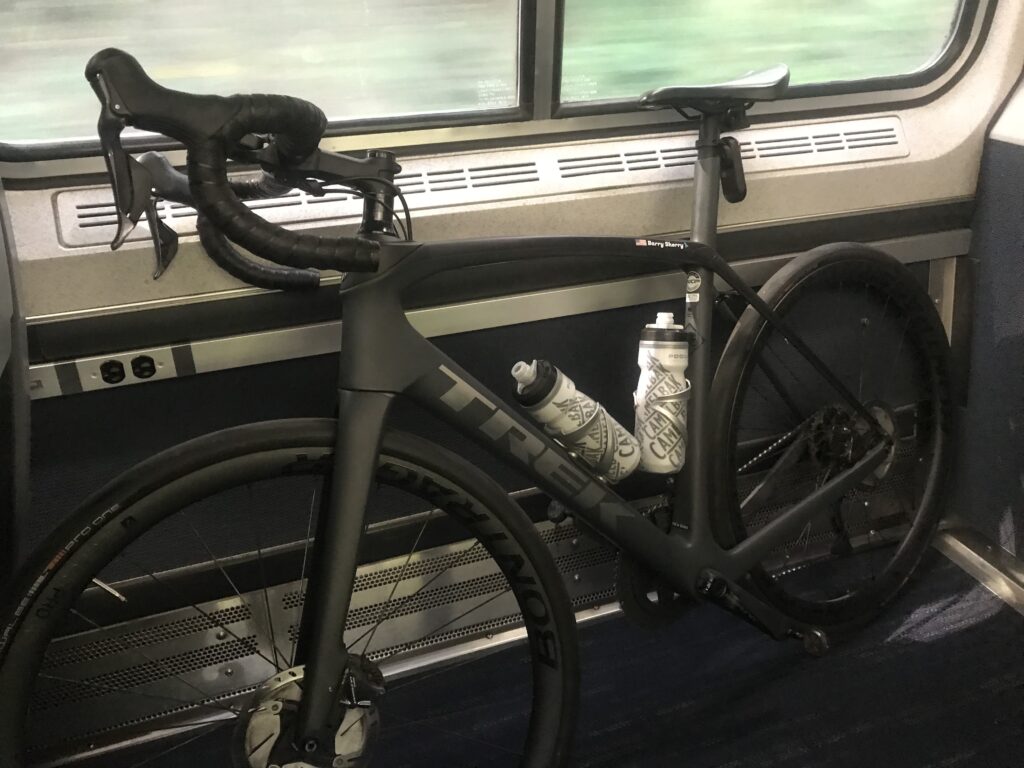
My bike aboard the train (ready to disembark)

The rack had one hook and I tried to hang my front wheel but the hook didn’t like a deeper rim that I had. I was able to turn it just right and hang it. I then saw an instruction sign that said to remove the front wheel. Not sure how that would have worked. I didn’t have my tool to remove the wheel readily available.

That also tells me Amtrak is not accommodating of many bikes. They must anticipate quick-release skewers which have been replaced by through-axles. Depending on the bike you may need a special tool to remove the wheel. I use a mini-rachet which I did not have with me. For an emergency, I could get to one in a tool kit inside my frame. As for bikes with bolted-on front wheels, they would be out of luck too. Amtrak can do better if they want to.

About halfway through the ride I put the bike in a luggage area. It fit better. I actually through we were approaching Williamsburg and was getting ready. But we weren’t.
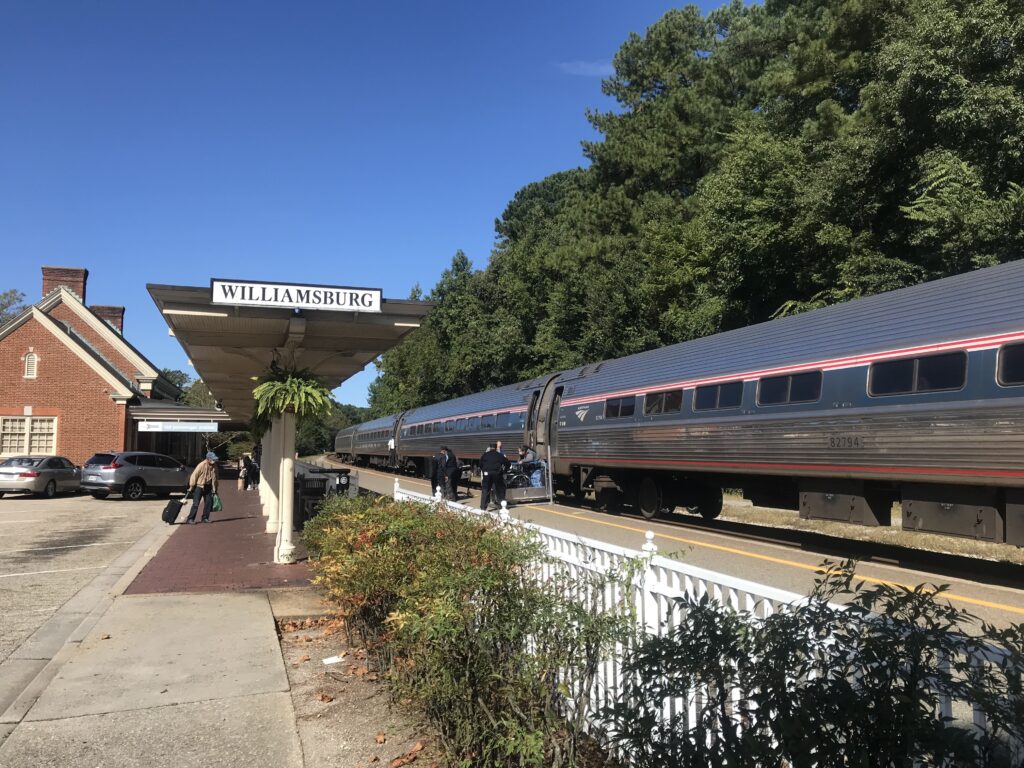
Williamsburg, Va.

Once in Williamsburg, we rolled down through Duke of Glocester Street in Colonial Williamsburg. Very slowly. If Tim wanted a faster average speed today I killed it in Colonial Williamsburg.
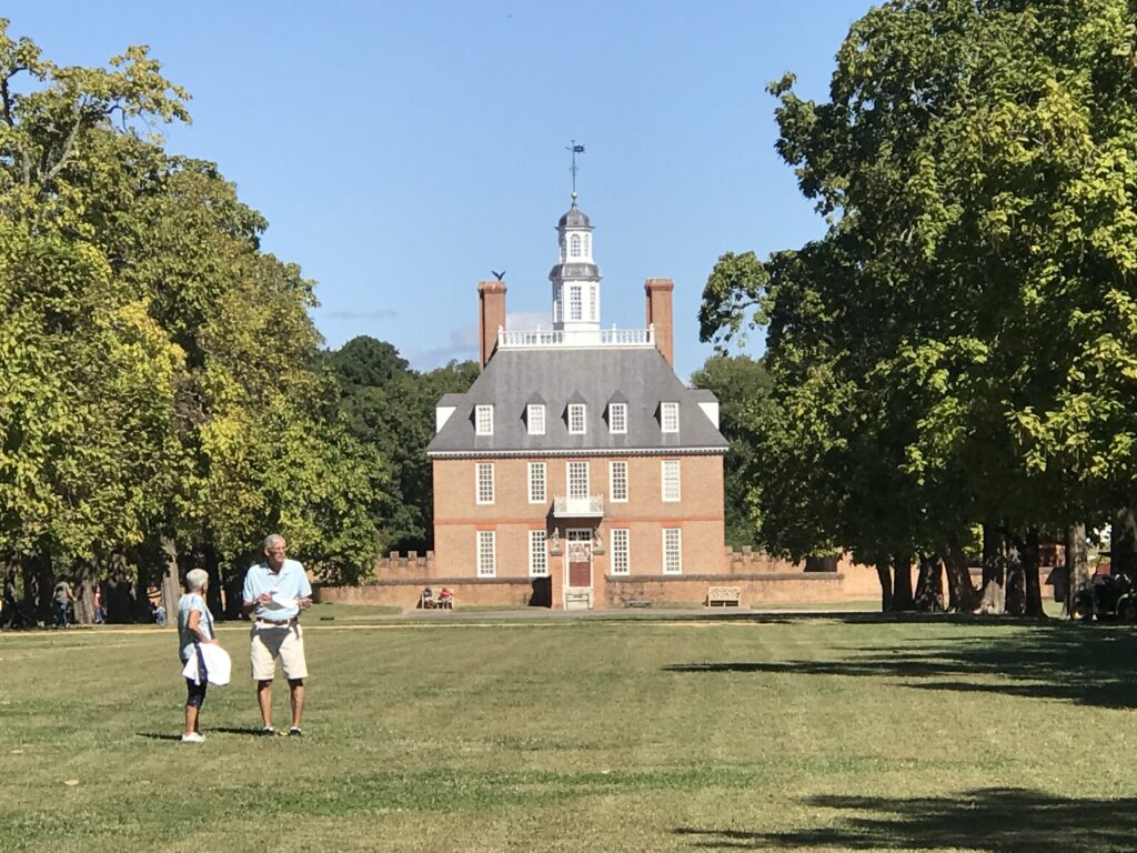
Governor’s Palace, Colonial Williamsburg

Rather than take John Tyler Highway directly to Jamestown to meet the trail, my mapping took us through some residential areas. They were very pretty but I’m not sure about the benefit. The highway did have a bike lane for much of it. I think the only section it did not was where we finally picked it up.
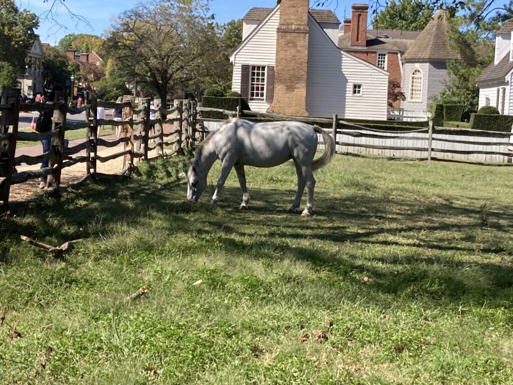
Williamsburg

We passed a Taco Bell and grabbed a not-so-quick bite to eat knowing that food options were limited on the ride. It was 11:30 a.m.
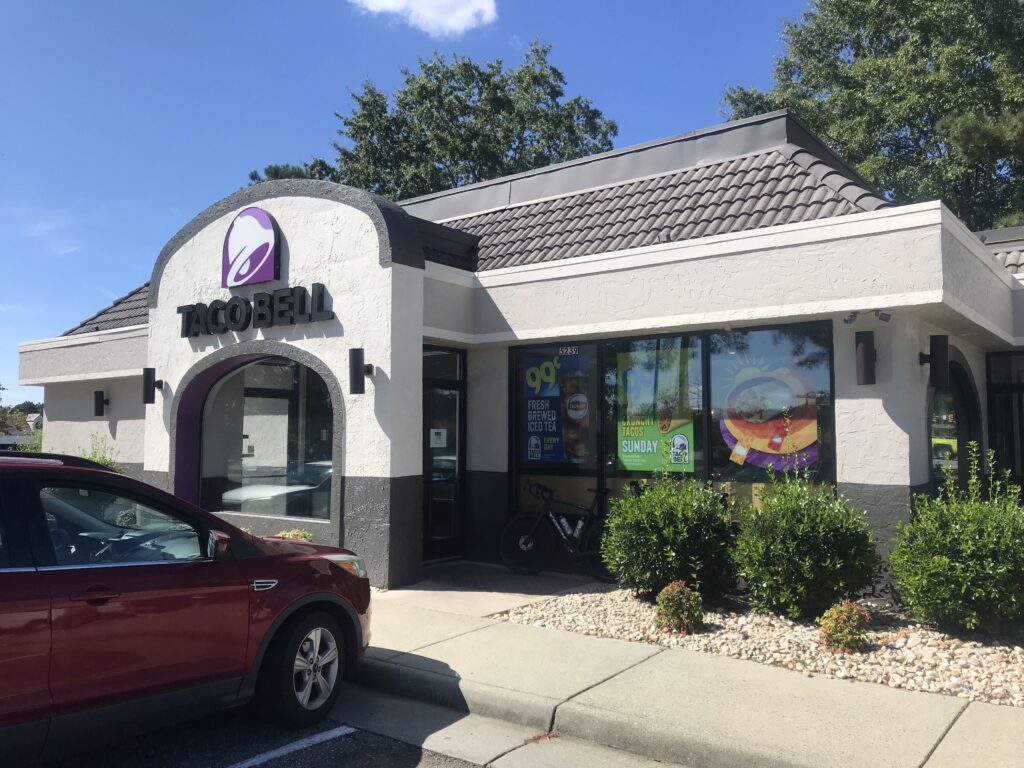
Taco Bell, Williamsburg

The trail in Jamestown was easy to find. The Virginia Capital Trail is a paved and boardwalk trail that follows the Rte. 5 corridor. While next to the highway almost all of it has a strand of trees between it and the road. When there is no traffic going by one does not see the road and it appears it is a trail in the woods.
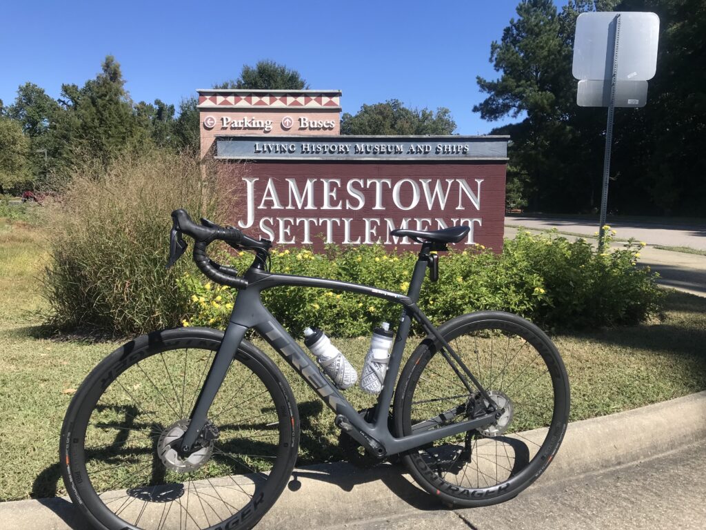
Jamestown Settlement

There are not many provisions on the trail. I had forgotten there was a very nice-looking deli restaurant at Mile 2.5 (Spokes + Art Provisions Co.). At Charles City, there is Haupts gas station which has some good fried chicken. Also in Charles City, there is Cul’s Courthouse Grille. And then northing until Mile 48.
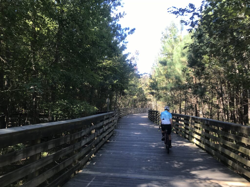
The long bridge at MP1

We had a wonderful headwind most of the way. But it was 72º and it was great.
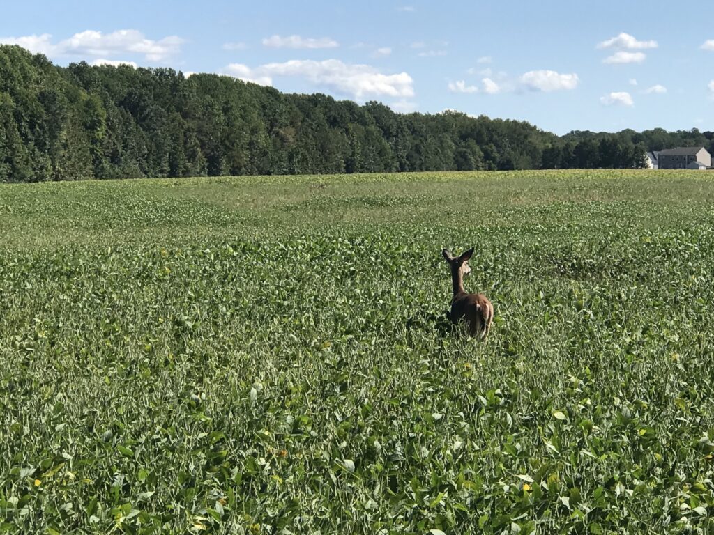
A deer is outstanding in his field

At Kingsland Road we left the trail as I opted for some back roads which added two to three miles. Tim was okay with that because he wanted to make sure we rode a metric century (100 km or 62.14 miles). The mileage would do that. These were roads used in the Climb to Conquer Cancer that I have ridder before. And I approved.
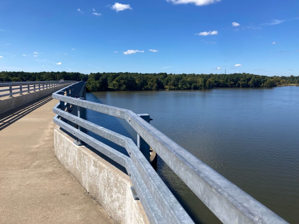
Chickahominy River

We stopped for water when we got back to the trail, around Mile 48 . There is a new 7-Eleven opening soon but was a store across the highway as well. Tim got water for the last five miles and we began the nice mostly downhill ride to Richmond.
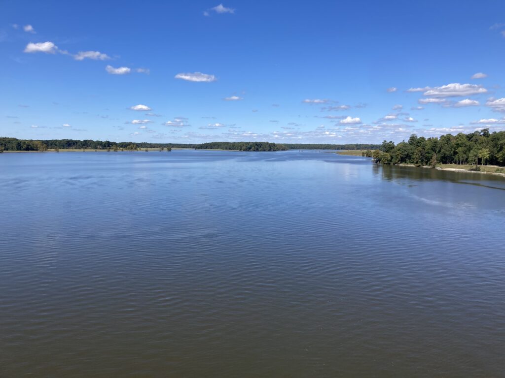
Chickahominy River

I don’t know what picture I had painted of Libby Hill but I think Tim was picturing Mount Washington and not Libby Hill. When we got to Rocket’s Landing I could see the monument atop Libby Hill and pointed that out to Tim. I think he was relieved to see that it wasn’t far away and it wasn’t very high.
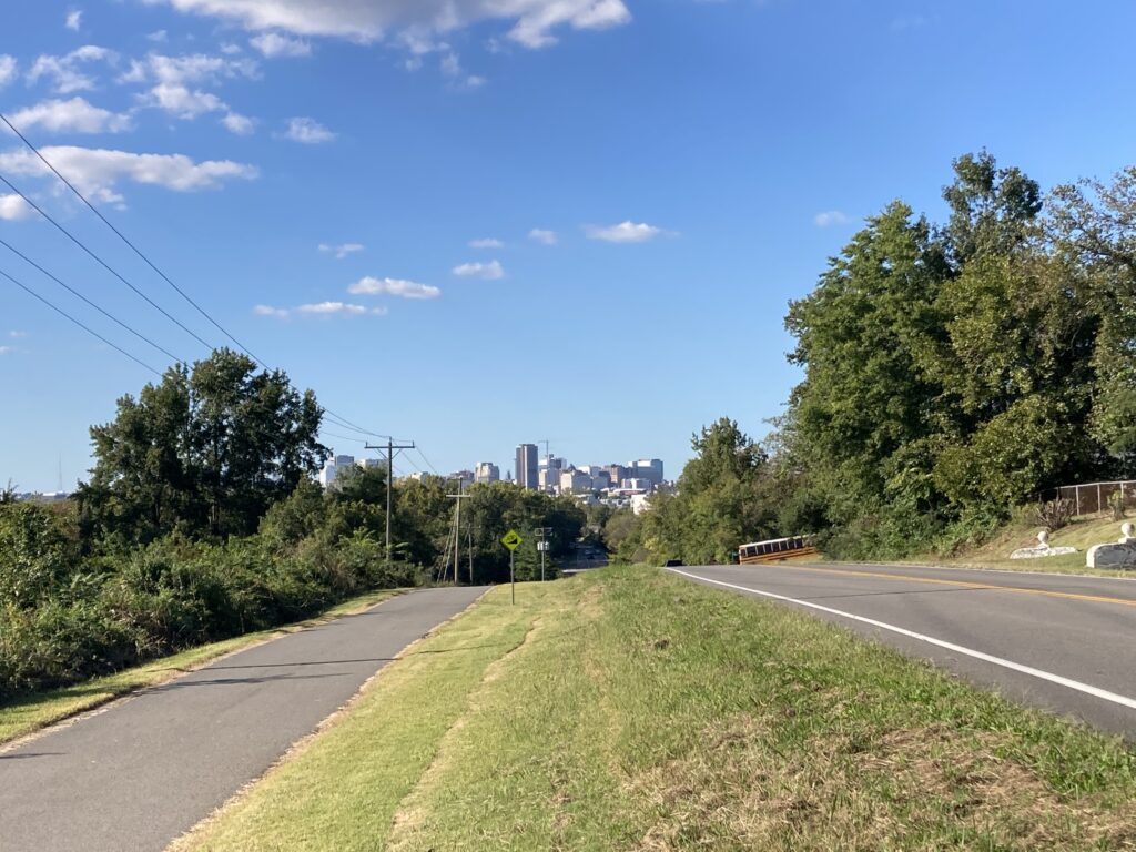
Richmond in the distance

I wanted Libby Hill. Twice I raced it as a timed climb in the Climb to Conquer Cancer. Both times I finished at 0:53. Three weeks ago my time was good enough to win the 65-69 age group at the event. The problem for me is they had a 60-69 age group. I never saw official results and could not easily determine on Strava who I may have lost to but the most important person I am racing is me. And I wanted a good race time today.
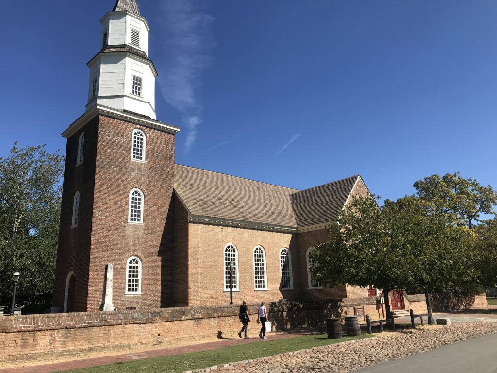
Church, Williamsburg, Va.

We came to the gated entrance (no vehicles permitted) and I showed Tim the climb. He thought it might take him four minutes. I pointed out that even if he went half as fast as me he’d still be there in under two minutes.
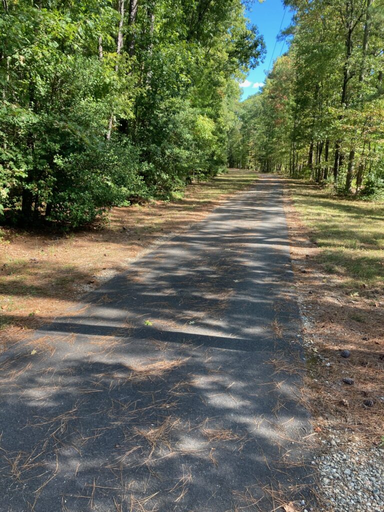
The trail

I was hoping for one second. I hit the climb from a dead stop. The bike started to bounce. I made the hard left onto the climb and felt the rear wheel slip on the wet cobbles as here there is always some runoff or drainage across the road. It’s about 6″-12″ at best (worst).
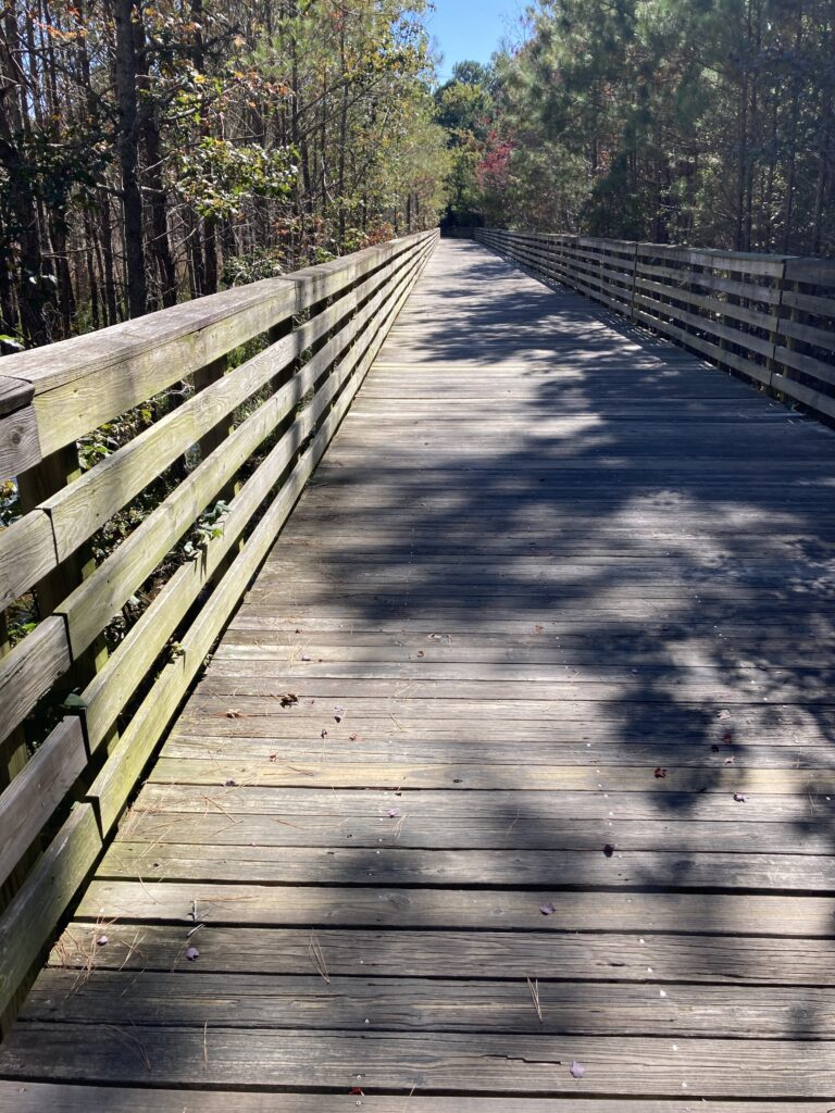
One of the boardwalk bridges on the trail

My helmet, which I thought was tight, was moving as were my sunglasses. I never looked at my Wahoo Live Segments to see if I was ahead or behind my PR pace.
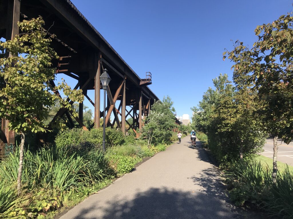
Near Great Shiplock Park, passing underneath the train tracks, Richmond

Halfway up is the sharp right-hander. Once I turned it I got out of the saddle. Three weeks ago I tried standing here and the bike bounced so much I sat back down. Today I stood and let the bike bounce.
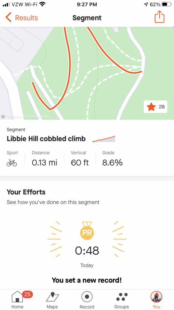
Strava showed me 0:47. Strava disagreed.

I’m not sure if I was out of the saddle the rest of the way or if I sat. But I went across the top and saw the time – 0:47.
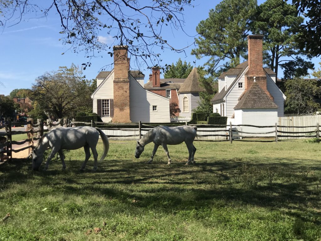
Horses in Williamsburg

I killed it. I destroyed my previous best time. Then I saw Tim was coming and I was encouraging him as well. And in his first time, he came in 1:33. Excellent! Being his first time he now has a marker for a PR for the next time as well.
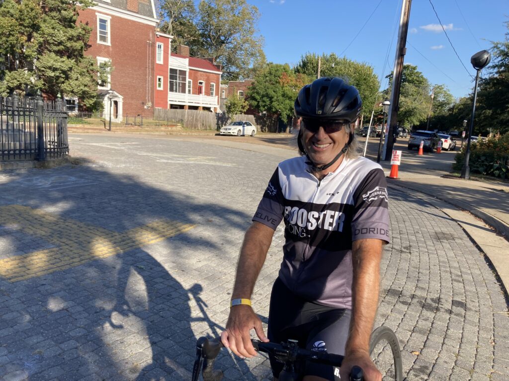
I beat Libby Hill. Credit: Tim

Officially, Strava would record my time as 0:48. I still destroyed it. And maybe the next cancer climb, a 0:48 would be good enough for the 60-69 group. (They should align with Strava’s 65-69 group but that’s a different discussion.)
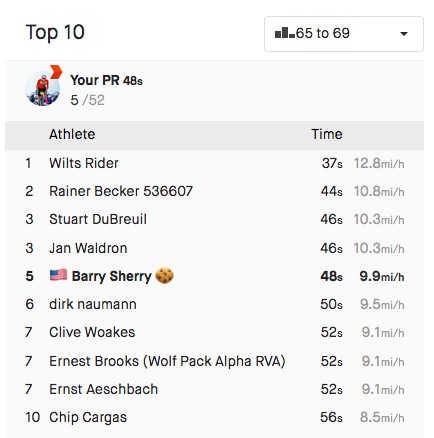
The top two times were done on trainers and not actually at Libby Hill

We descended back to the car. Tim saw a parking lot that looked promising to cut through although we didn’t need to. But it had two bridges which led to Stone Brewing. When we exited we were in the outdor cafe area of the brewery. Oops. Let us ride between your tables. We went through the parking lot and were back on the trail only 400 meters from where we parked. In all we rode through three of Virginia’s capitals through history, Williamsburg, Jamestown, and Richmond.


WEIGHT: 170 pounds
Abandoned Turnpike

BREEZEWOOD, PENNSYLVANIA

I have been here perhaps 10 times. Maybe 15. I’m sure I could look it up but I’m lazy. But I wanted to bring my friend, Tim, with me.

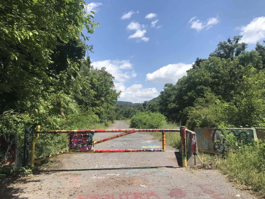
Gate at entrance to Abandoned Turnpike

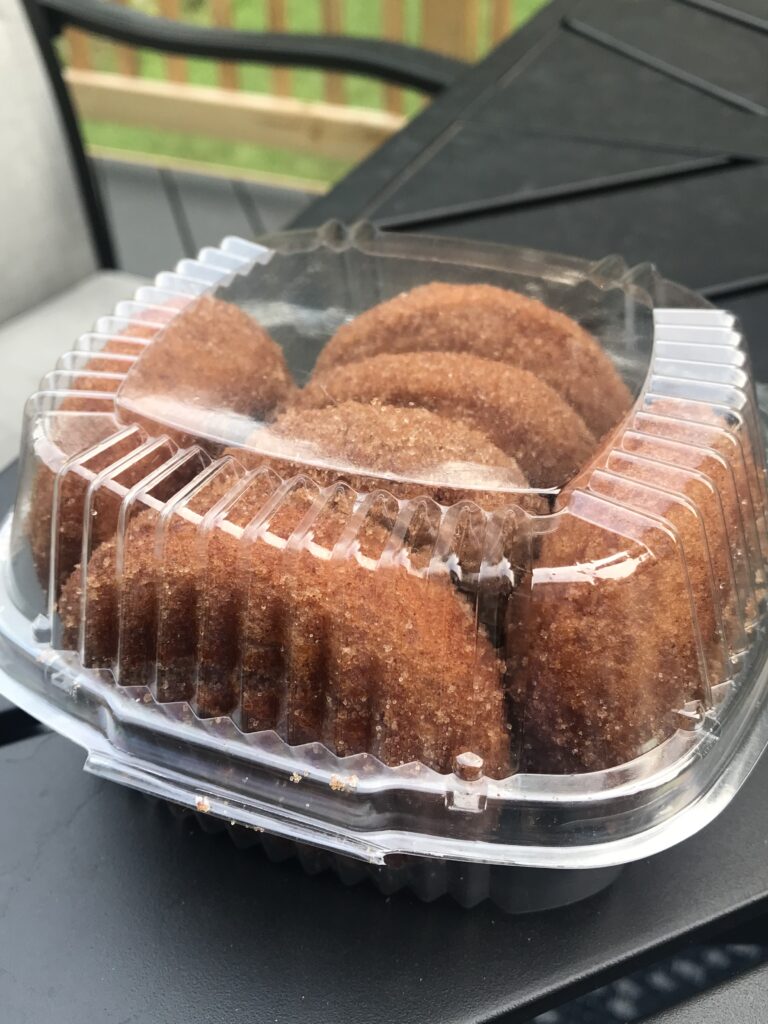
We left Woodbridge at 6:30 and drove out I-66, stopping in Linden at the Apple House Restaurant for some apple butter cinnamon donuts. We arrived in Breezewood at 10:00 a.m.

Apple cinnamon donuts from The Apple House Restaurant

The entrance to the Abandoned Turnpike used to be a dirt singletrack. I was never able to ride up the pitch and only once dared to ride down it. Today I noticed that it had been widened and paved with some asphalt. Both Tim and I were able to ride up the path to the beginning of the trail.

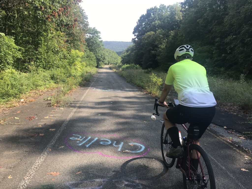
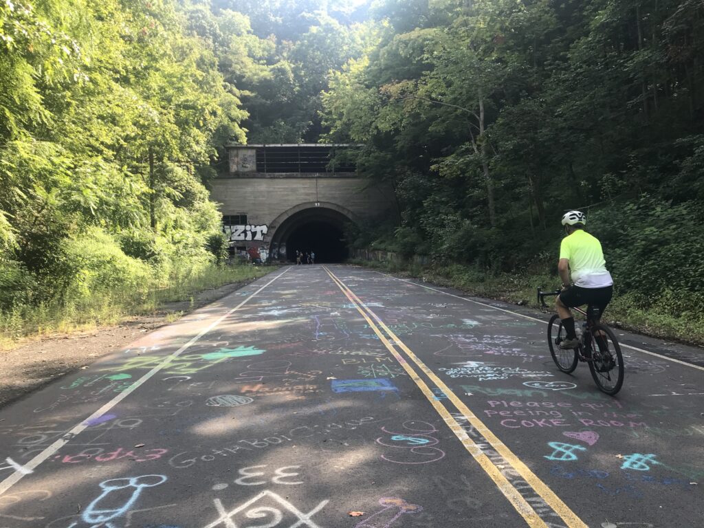
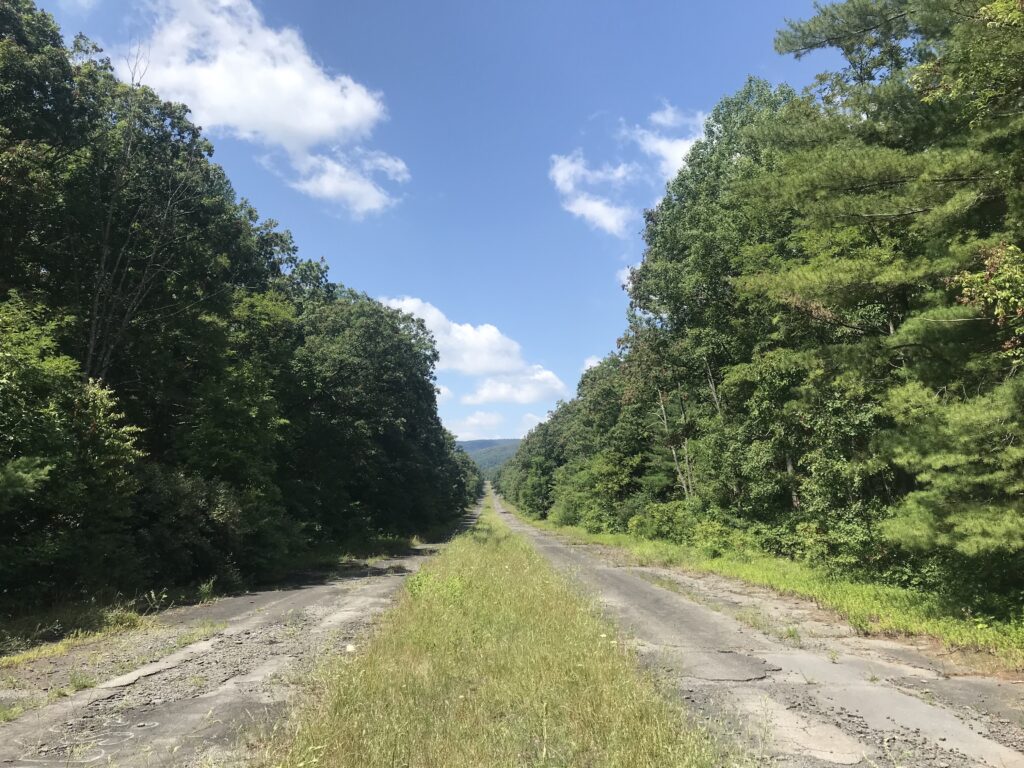
Riding down the turnpike

There was a gate across the road and the jersey barriers were arranged that one could not take a bike. We had to do the Limbo, ducking under the bar with our bikes.

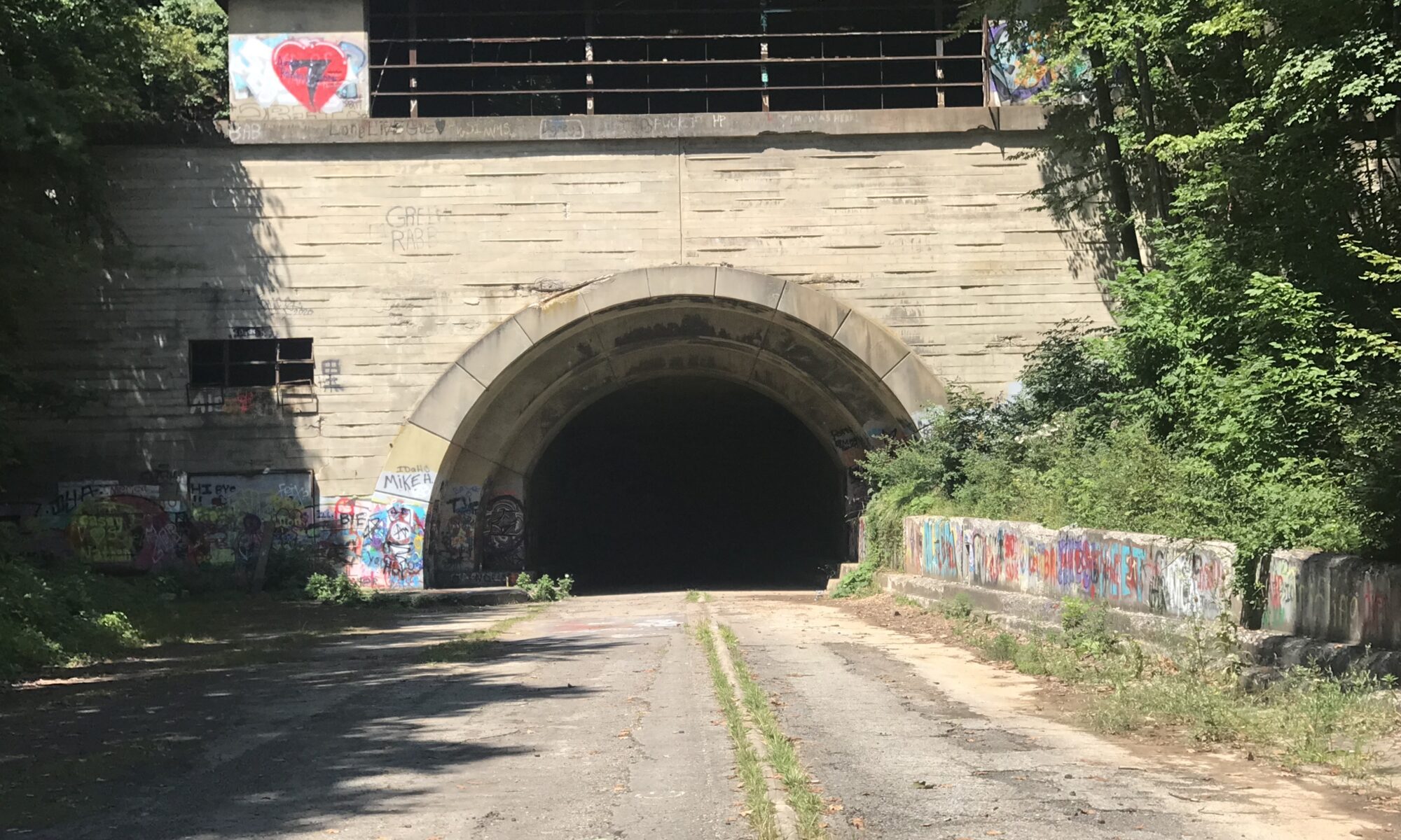
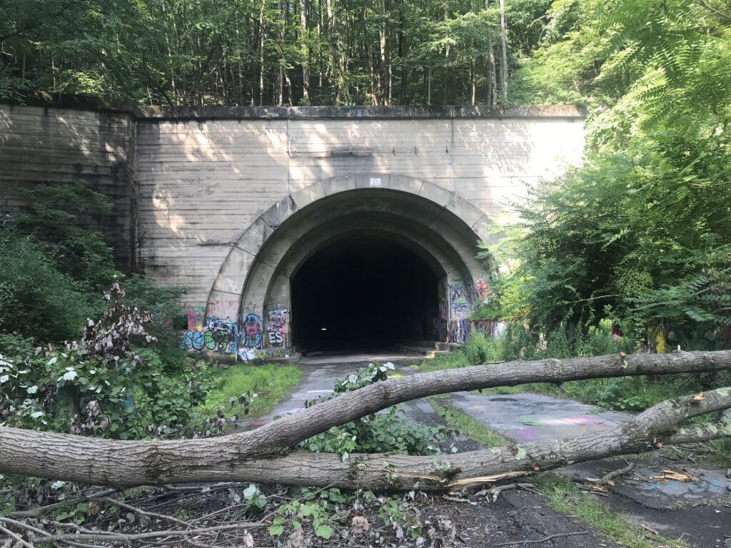
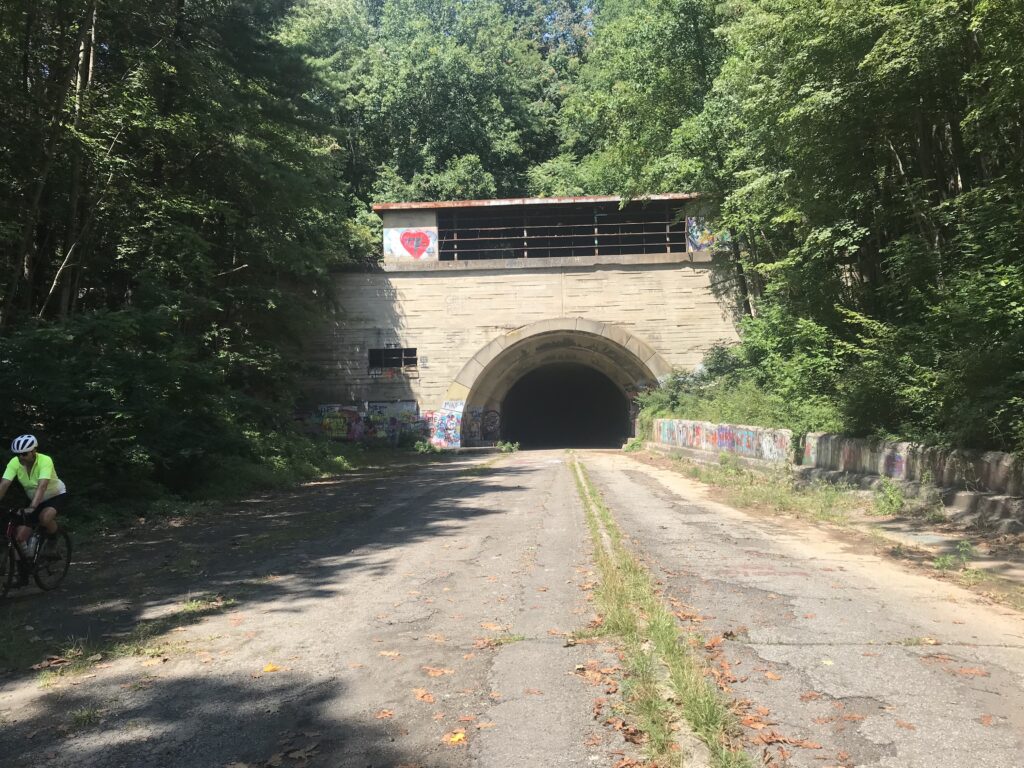
Approaching Ray’s Hill Tunnel

We were only in about a mile when we passed two guys coming back. One was riding slowly and the other was pushing his bike as his had a flat. I offered any help and was willing to give him a tube but he said he would walk. They were almost back to the cars.

Tree down

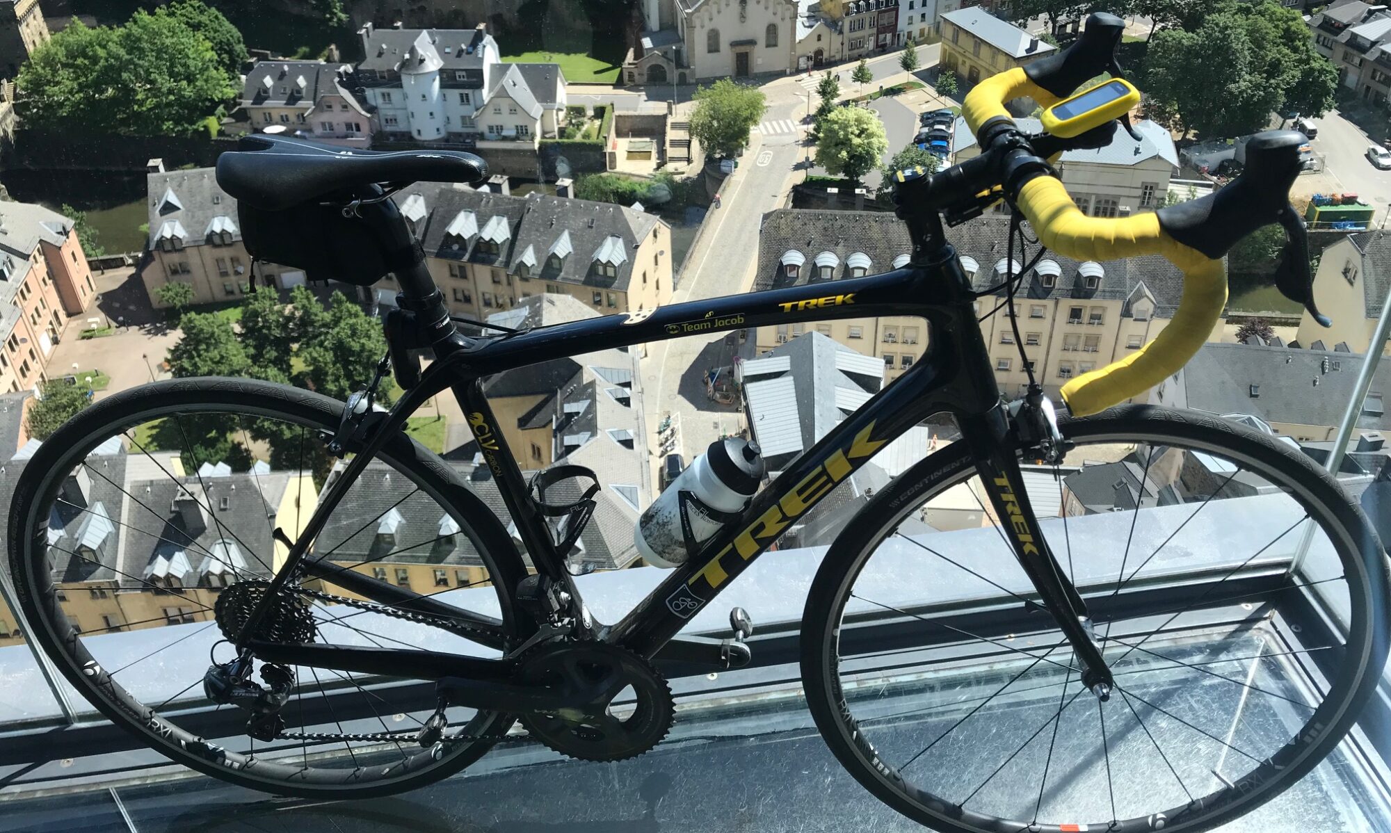
I mentioned to Tim that there is a lot of broken glass here and to always be vigilant. We rode our Trek Checkpoints with knobby tires so I was feeling pretty secure. I also thought that the turnpike looked like it had been swept at some point. Although there was broken glass, it wasn’t nearly as bad as it had been.

I talked to a family from Carlisle at the entrance to the first tunnel and Tim went ahead without me. Brave guy. In the tunnel I hit something, probably falling cement from the ceiling.

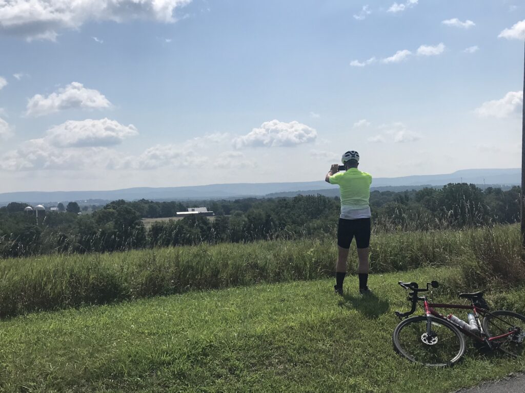
Overlooking the valley

The distance, end to end, is just 8.5 miles so an out-and-back ride is just 17 miles. That seemed too short of a ride. So I added a valley loop and created two KOM segments on Strava that I could compete for. Tim could too but having never ridden this before Strava would not show his first effort as a PR.

I went ahead on Hess Road and captured both KOMs. I consider these as garbage KOMs. First, is because very few people ride here. Second, no one knew these were segments before I created them. But I have ridden here before and would be happy with PRs. But they were KOMs and I will take them.

Between the two tunnels

We finished the loop and headed back inside the tunnels. As I came out of the second tunnel I could feel some squishiness in my front tire. I looked and told Tim that I was flatting and was going to ride ahead.

With less than two miles to go, I had hoped to ride as far as I could before it was unrideable. Being so close I didn’t want to take the time to change the flat thinking it would be faster to ride than perhaps walking. And walk I did.

Sideling Hill Tunnel

It was about 3/4 of a mile when I could no longer ride. At that point, I had to walk. I could have changed the flat but I was so close, or so I thought. End of the ride for me. But I should have changed the flat.


Although I blamed glass, I think it was just as likely broken asphalt or broken concrete inside the tunnel. I found no debris in the tire.


Skyline Drive to Big Meadows

THORTON GAP, VIRGINIA

Two weeks ago Tim Casebere and I were riding out near Remington when we ran into another cyclist. The cyclist, David Thatcher, is from Gainesville and we exchanged numbers for a future ride.

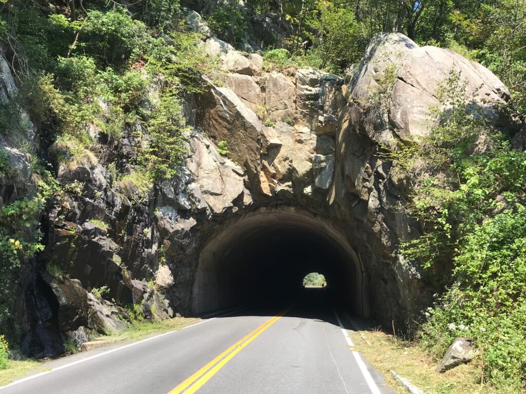
Tunnel

Yesterday David texted me and told me he planned to do a 40-mile ride on Skyline Drive and invited me to join him. I agreed.

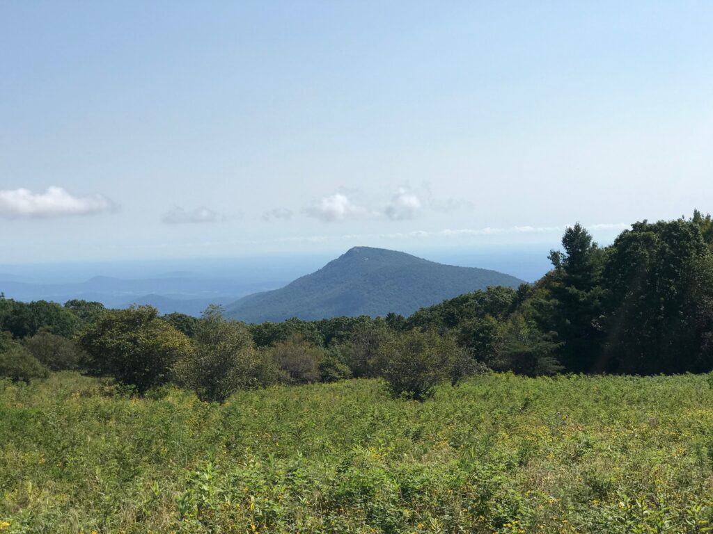
Old Rag Mountain

The only hiccup in our plans was where to meet. David said first parking south of the US 211 entrance at Thorton Gap. I saw the area known as Panorama or the tunnel overlook. When I questioned him he told me it was Mary’s Rock Trailhead, “within 1000 yards of 211.”

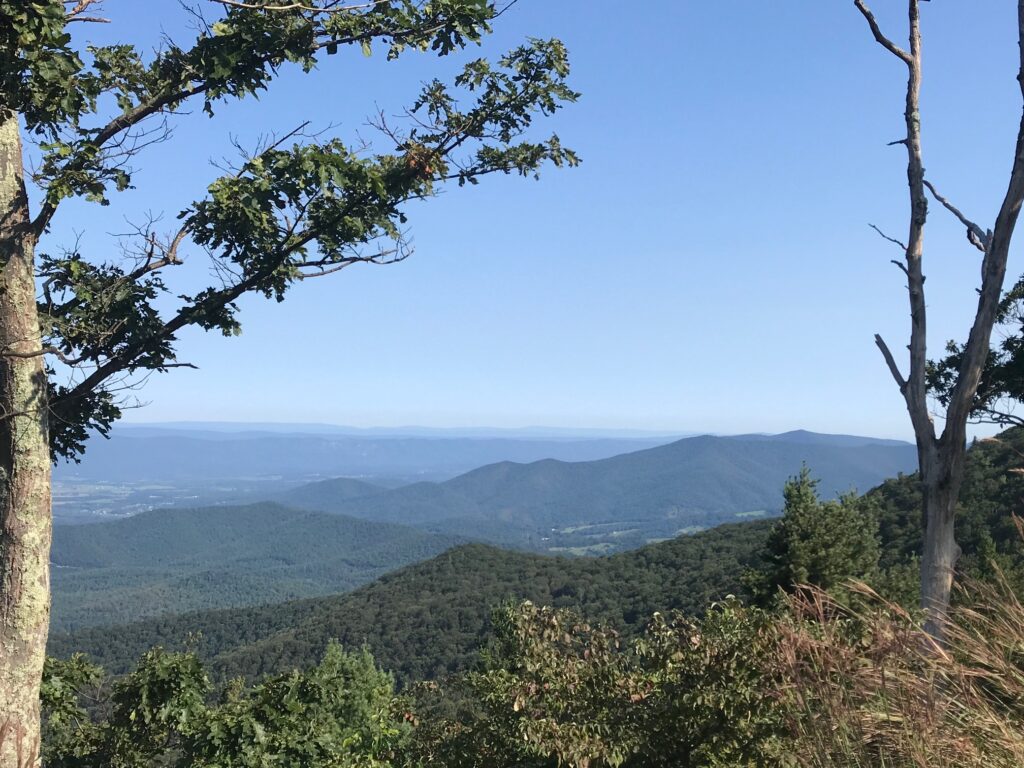
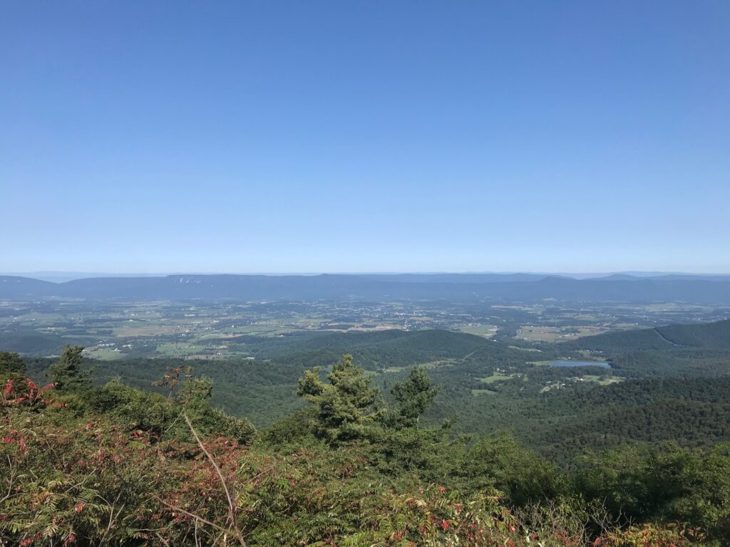
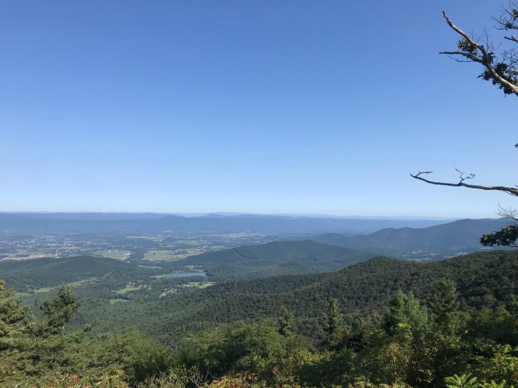
Looking west

I entered Skyline Drive and passed Panorama and went to the tunnel overlook. Didn’t see David or Mary’s Rock. I knew I went too far so I turned around. I figured I would go back to Panorama and ride by myself if that was the case.

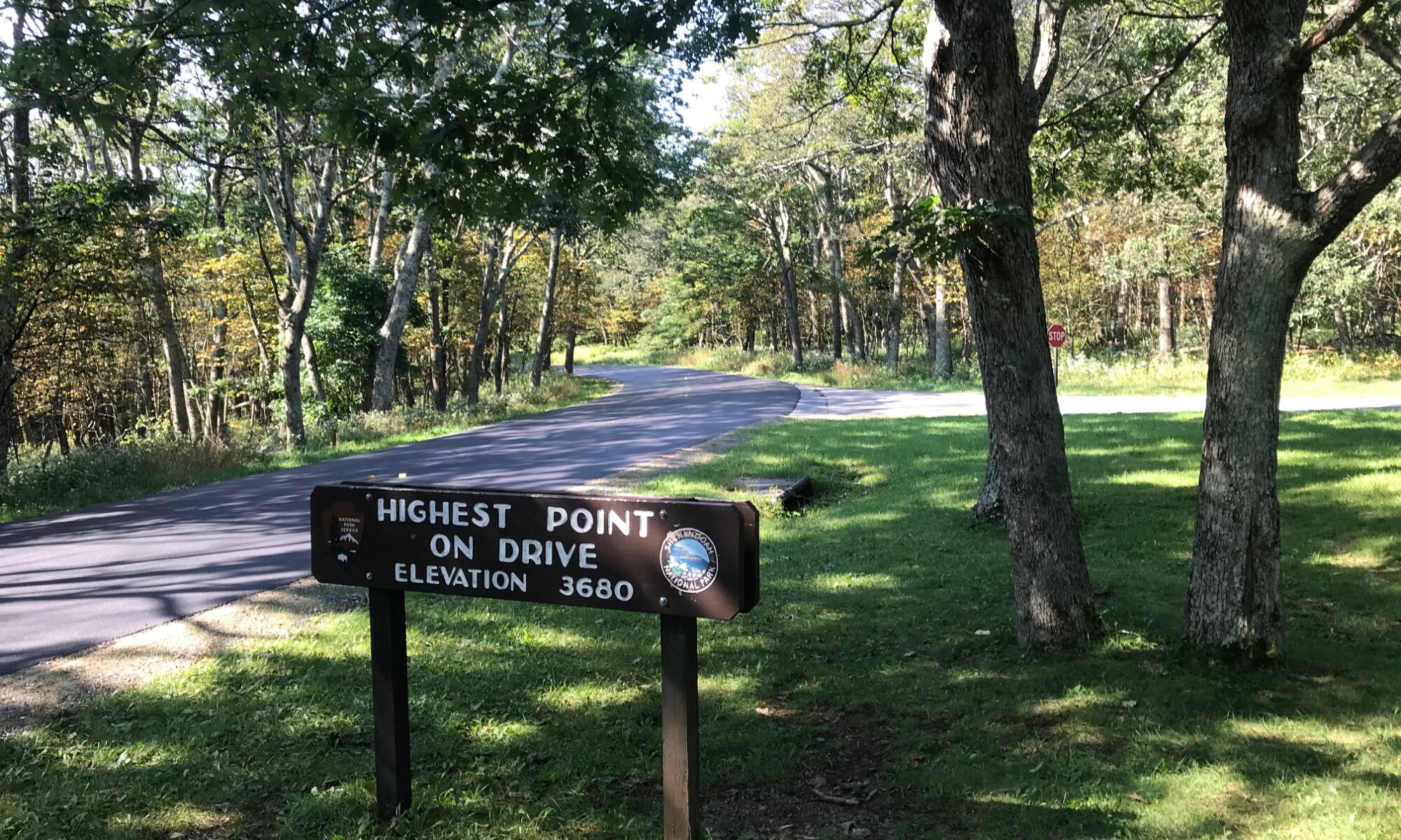
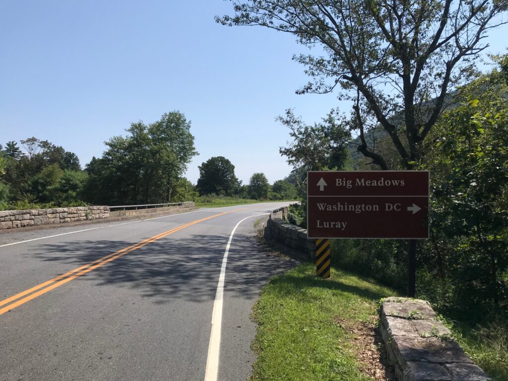
Skyline Drive at Thorton Gap

Somewhere outside of Warrenton all cellular service is lost. I doubted I would be able to contact David by text. But returning to Panorama, which has a very large sign, is a small sign or Mary’s Rock Trailhead. I was in the right place.

Looking west

We hadn’t ridden together except for a little bit in Fauquier Co. near Remington. And he was on a bonk that day. I did not know what to expect from David.

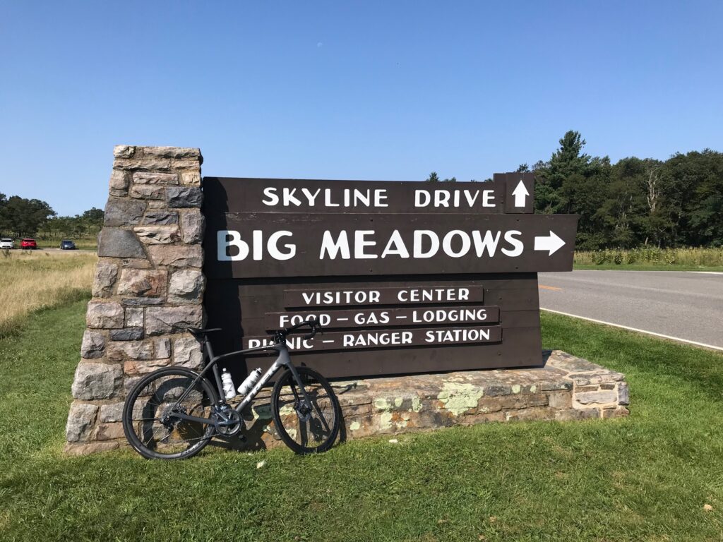
Big Meadows

It was a perfect morning, probably 65°. If I would have been riding on the flats I probably would have opted for arm warmers. But knowing there was a climb immediately, I went with nothing additional. We started out of the parking lot. I was matching David’s pace but after half a mile or so, he was about five meters in front of me. We went through the tunnel, stopping at the end for a quick photo, then continued up the hill.

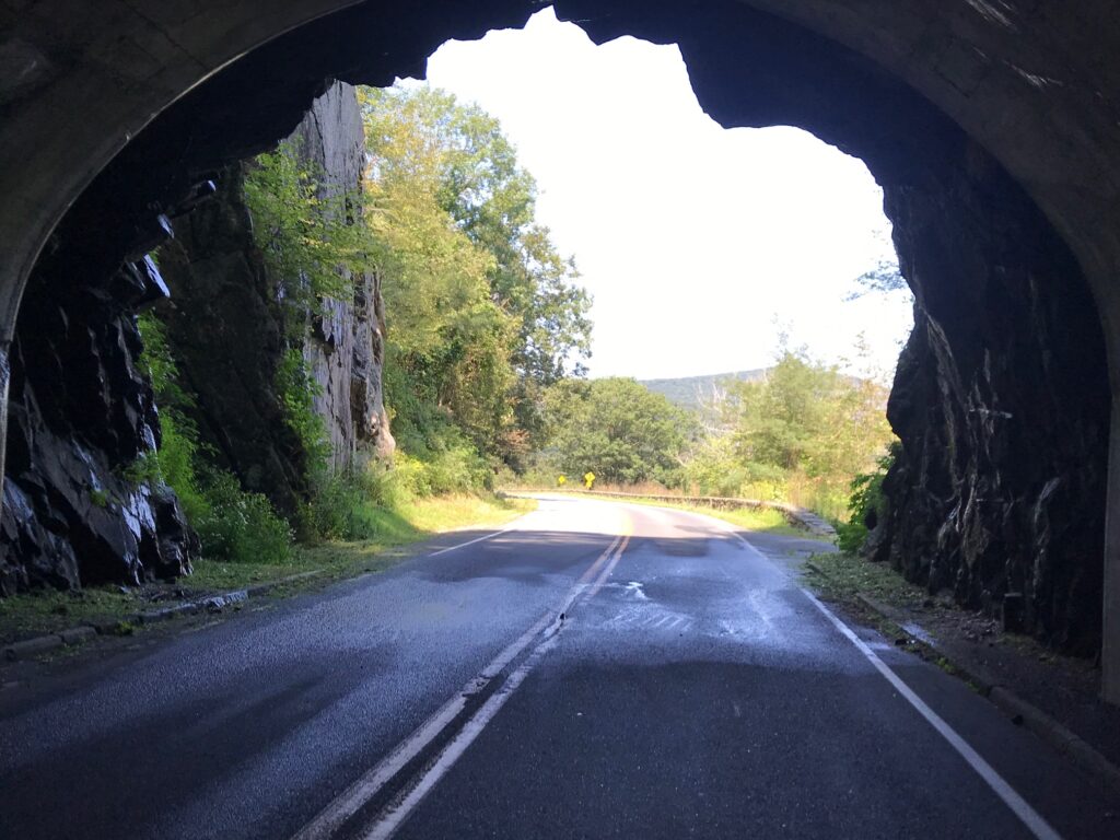
Same tunnel – different view

I stayed with David early on but he was clearly the stronger rider going uphill. Using my friend, gravity, I was the faster rider going downhill.

David Thatcher

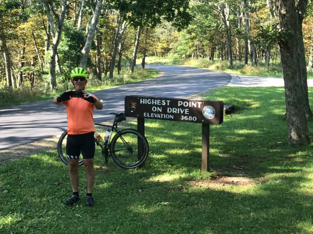
Our first climb lasted about 4.5 miles followed by a three-mile downhill then a three-mile uphill, passing Skyland, the high point on the trail. There was construction in this section which actually made riding more pleasant. The pave was perfectly smooth asphalt.

Looking west

Four of five times we came to a flagman where we had to stop and wait for a pilot car to come by and lead us, and waiting cars, through. We just tucked onto the back behind the cars. And even going uphill, they held all oncoming traffic until we cleared. No oncoming traffic. No following traffic. It was a beautiful ride.

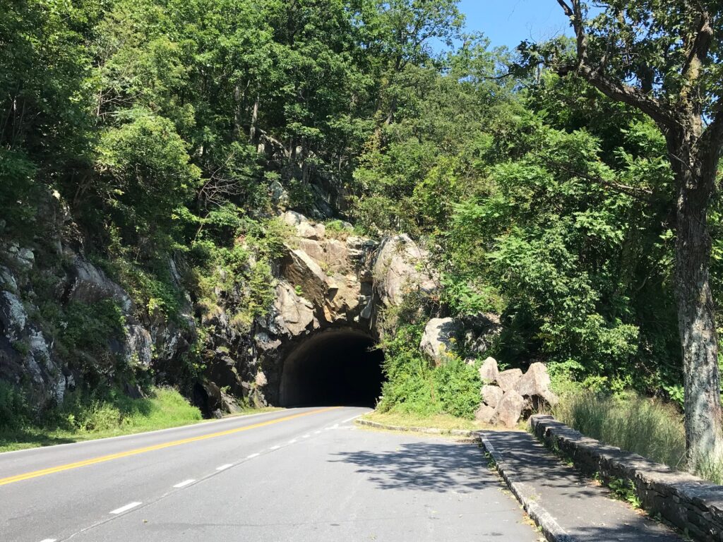
Skyline Drive Tunnel

Other than a garter snake sunning on the new asphalt, I didn’t see any wildlife. No deer. No bear. But plenty of beautiful vistas.

The distance wasn’t far but we had more than 100′ of climbing per mile. Arriving back to our cars I congratulated David on winning all the hillclimb points on course. He said that’s what he does best. And he did well today.


Distance: 40.1 miles
Average Speed: 13.0
Weight: 183

Verified by MonsterInsights