CONFLUENCE, PENNSYLVANIA
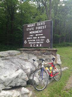
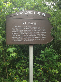
Mount Davis, the tallest peak in Pennsylvania, is in Somerset County which is where my parents have lived for most of 33 years. I have never been there. I decided today that I would bike up it.
When I mentioned it to my parents my dad asked if I would ride from Confluence so I thought that might be the logical place to start. I didn’t know the roads.
I mapped out a route which would take me up Fort Hill Road to Green Road to High Point to Mt. Davis Road. When I reached Green Road I found first that it was descending and second that it was a dirt road – not just a dirt road but a dirt gravel mix and a bit of ungraded forest floor – much like Imgrund Mountain Road. I decided it was not worth the risk and took another route.
I found Pumpkin Center Road climbed so I kept going up – until the bottom just dropped away. That’s what makes climbing hard in this section of Pennsylvania because most of these roads do not have a continual climb but it seems for every two feet of gain you lose one. It also means on the descent there is some climbing too.
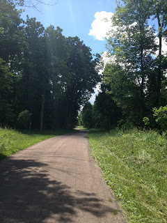 |
| Pumpkin Center Road |
I made my way to Mt. Davis Road and was unsure where to go. Finding no one to ask, I turned on the phone and found a map – I was headed in the right direction. Then it just a matter of making it to the top.
The ride back down was nice but Pumpkin Center Road had a 12% grade which kicked up to 20-22%. Ouch. Why do they do that on my descent?
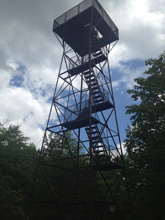 |
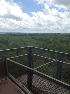
| Observation Tower at Mt Davis |
I need to come back and try this from the Meyersdale direction. But cross Pennsylvania off my list of states I’ve cycled to the highest point (along with New Hampshire). Seriously – I don’t know where I’ve been although I’ve also ridden up Mt. Evans, Colorado which is the highest paved road leading me to think there are higher peaks in Colorado with dirt roads. Anyhow, it’s not a goal, just a fun thing to do.
