DURHAM, NORTH CAROLINA
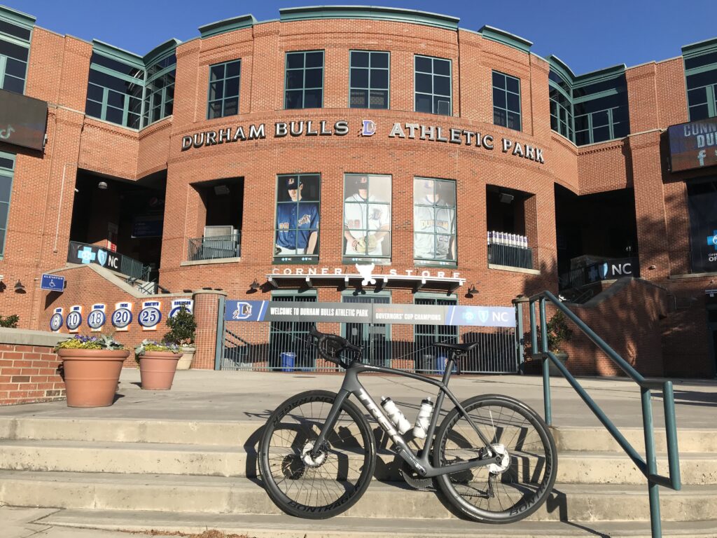
A search of trails in the area landed me at the American Tobacco Trail. This is a 22-mile trail (15 miles are paved) starting at the American Tobacco Company in Durham, right next to the ballpark for the Durham Bulls. From there the trail heads south to Cary.
The trail loosely follows a rail line that was built in the 1970s for the American Tobacco Company. In the 1980s it was shut down. That wasn’t a good investment.
My first order of business was to find parking. There is parking in Durham at the trailhead as it is a shopping and entertainment district. Despite the offer of free parking for two hours, it necessitated downloading a parking app for my phone which I didn’t want to be bothered with. And I didn’t know if I would take more than two hours.
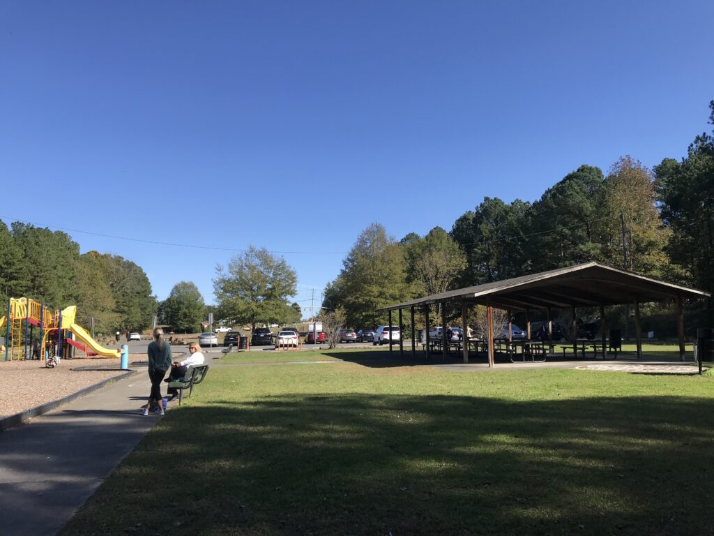
I looked for locations south of the city and found Solite Park. There was a playground and the parking lot was almost full. It looked safe enough. In preparation for this ride, there seemed to be a lot of safety questions on the reviews on TripAdvisor. Someone smarter than me can research this but this rail line divided neighborhoods, i.e., the wrong side of the tracks. But I was oblivious to that history and just rode my bike.
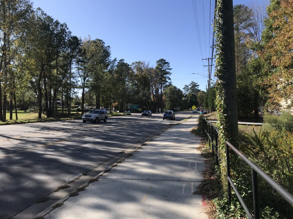
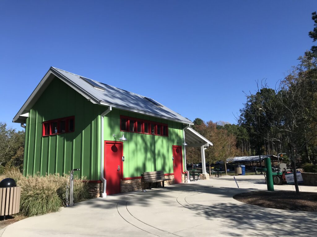
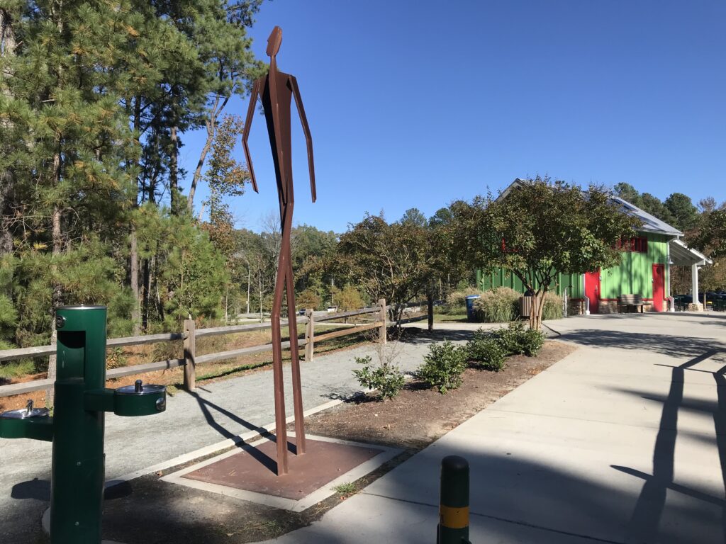
Solie Park was located at MP 4.5. It ad restrooms and a water fountain. I headed south on the trail. I was expecting rail trail – straight and level. However, as I would soon learn, in this section it was part sidewalk and often turned where one would not expect. Keep the eyes open for turns.
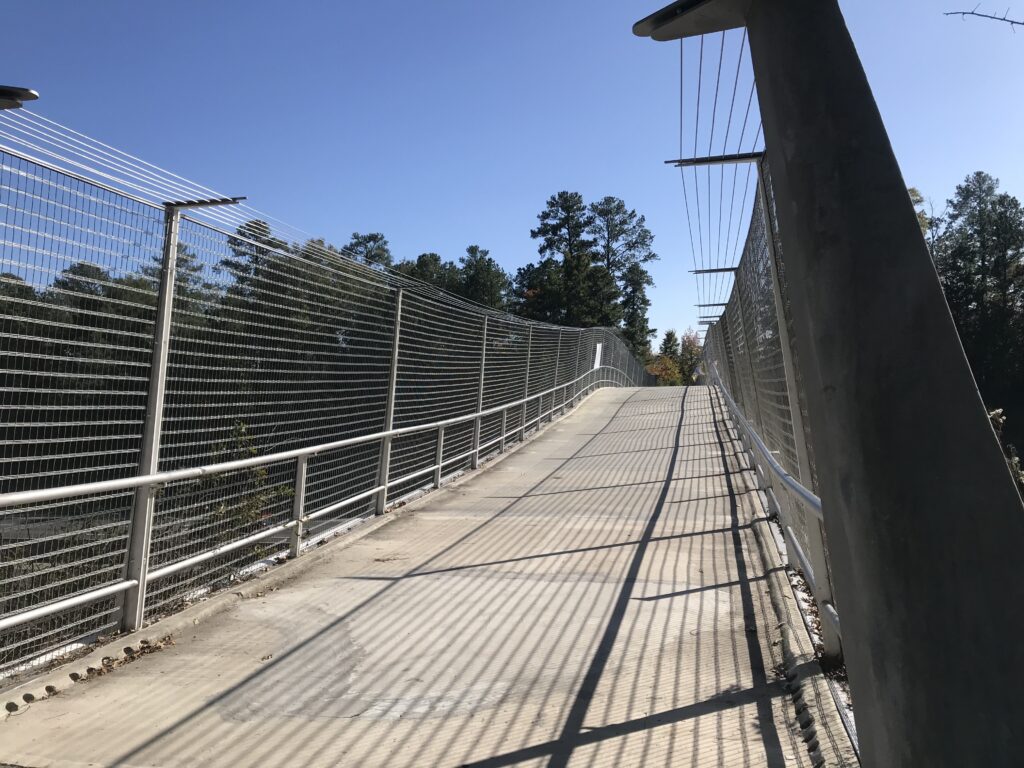
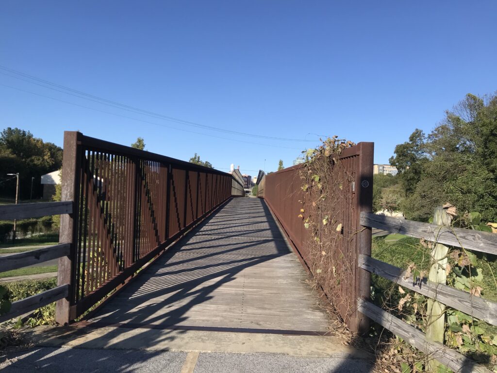
The bridge over Interstate-40 was pretty cool. It had its own contour instead of being a flat bridge. For this user, it was pretty awesome.
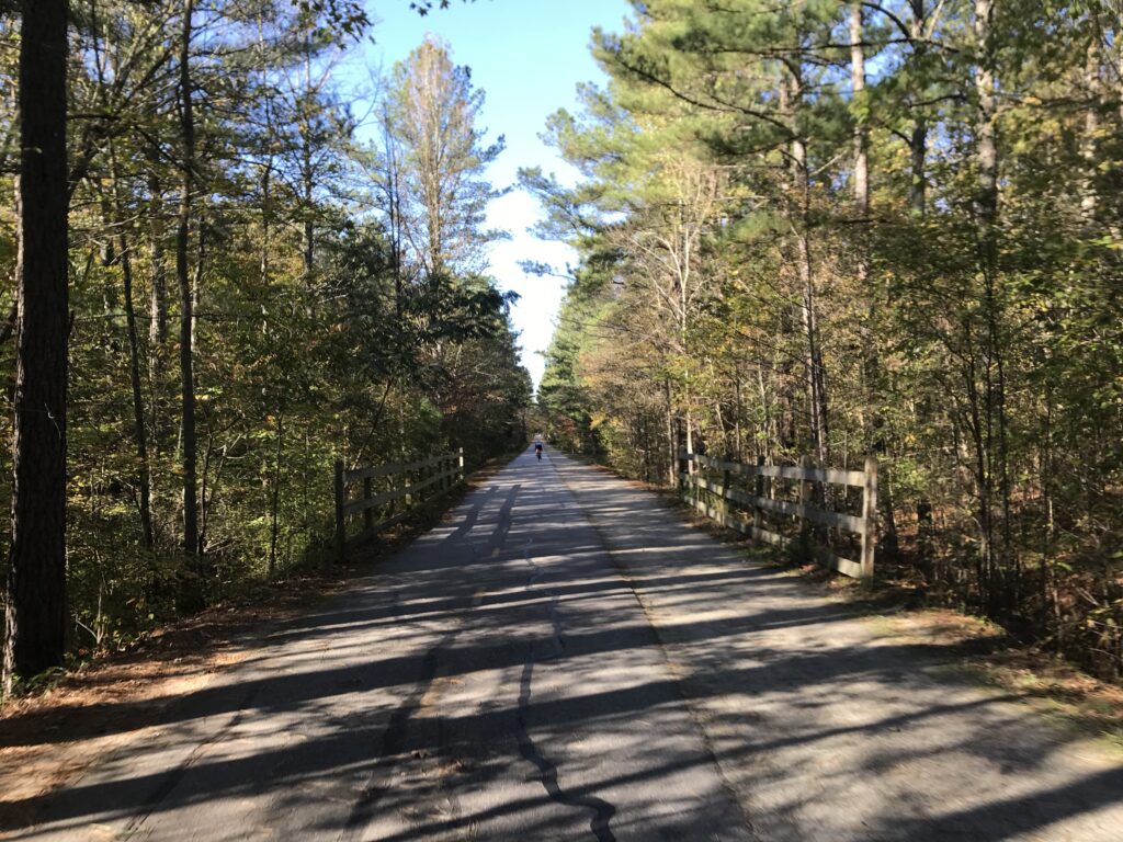
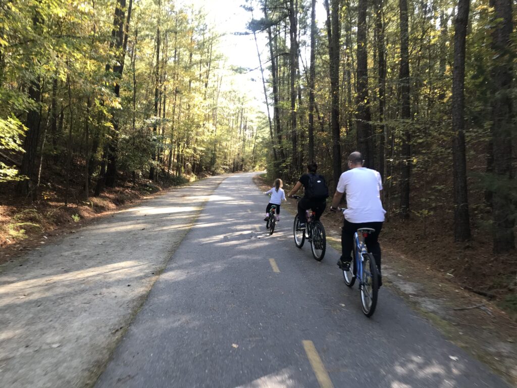
Around Mile 8 I seemed to come to the real rail-trail portion of the trail. Straight and flat. Not real sure of the location except it’s the Huntington Ridge section of Durham. It’s really a one-mile section where one is seemingly on sidewalks and has the feeling of an urban trail rather than following a former rail bed. This often happens that development takes place after removal of tracks and before a rail trail is created. These detours are a minor inconvenience compared to having use of a 20-mile trail.
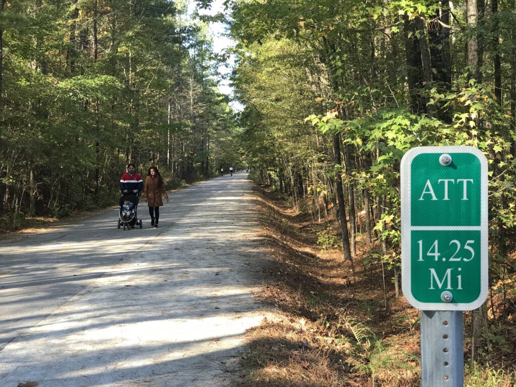
Mile markers were provided every quarter-mile which was very cool. At 14.5 the trail turned to gravel so I turned around.
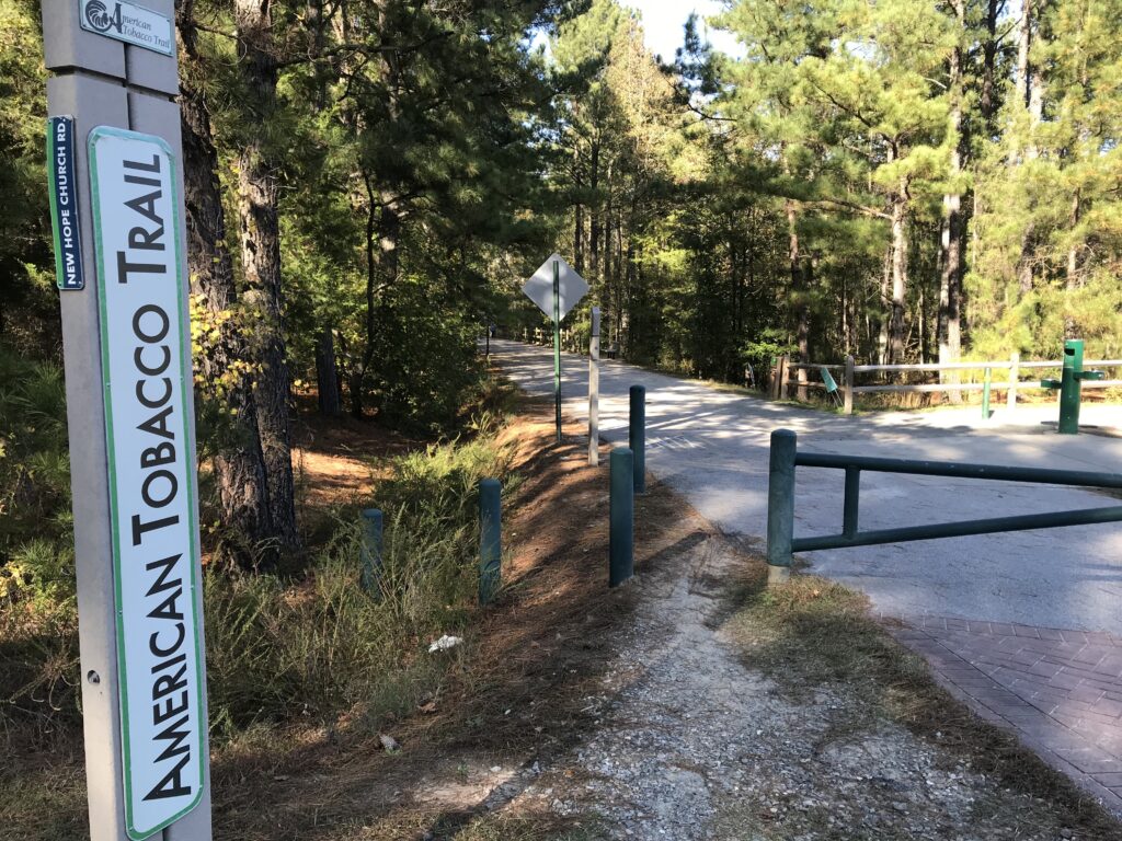
The city of Cary had a nice lot at New Hope Church Road and if I ever rode this again I would come to this lot. There were also restrooms here as well. The trail has more restrooms and water fountains than any I have been on.
When I arrived back to my car I saw the trail was closed for a detour. It wasn’t a new discovery as I had driven through a construction zone to park there. It was part of the reason I started my ride heading south as I could navigate the detour later. The parking lot was almost empty. I wanted to ride the 4.5 miles into Durham but was concerned this was one of the high crime areas that I had read about (one user said police were making more patrols).
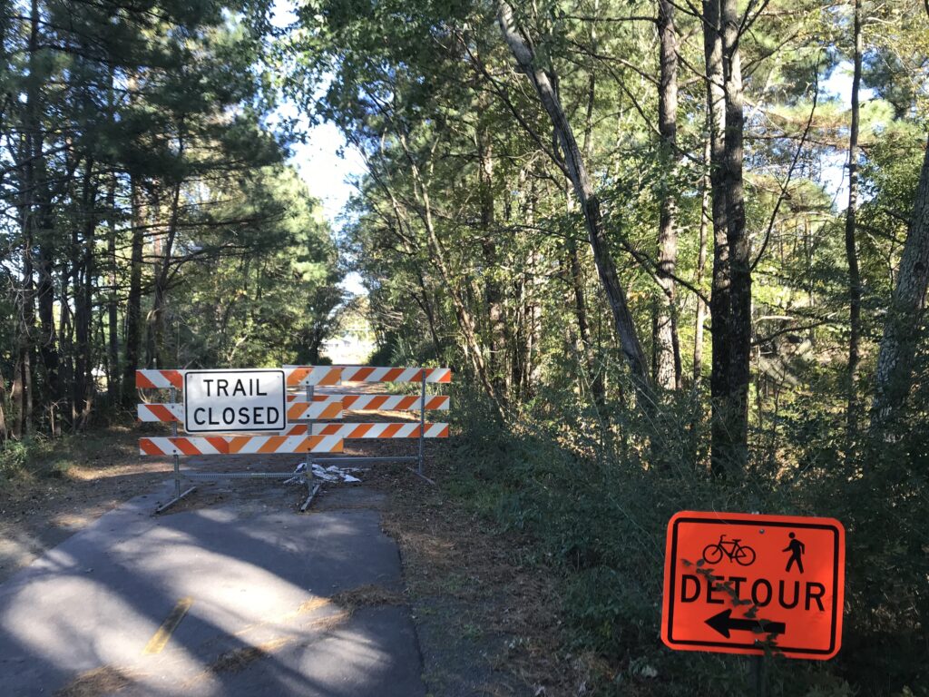
But when I got to the main street (Fayetteville Road) to follow the detour, I was lost. I could not find the detour, and not being from the area, didn’t really know where to go to pick it up. I wasn’t about to set out on a trail that wasn’t well-marked. I put my bike in my car and drove 1/4 mile where I saw the end of the trail detour was. From there I parked and rode the rest of the way into Durham.
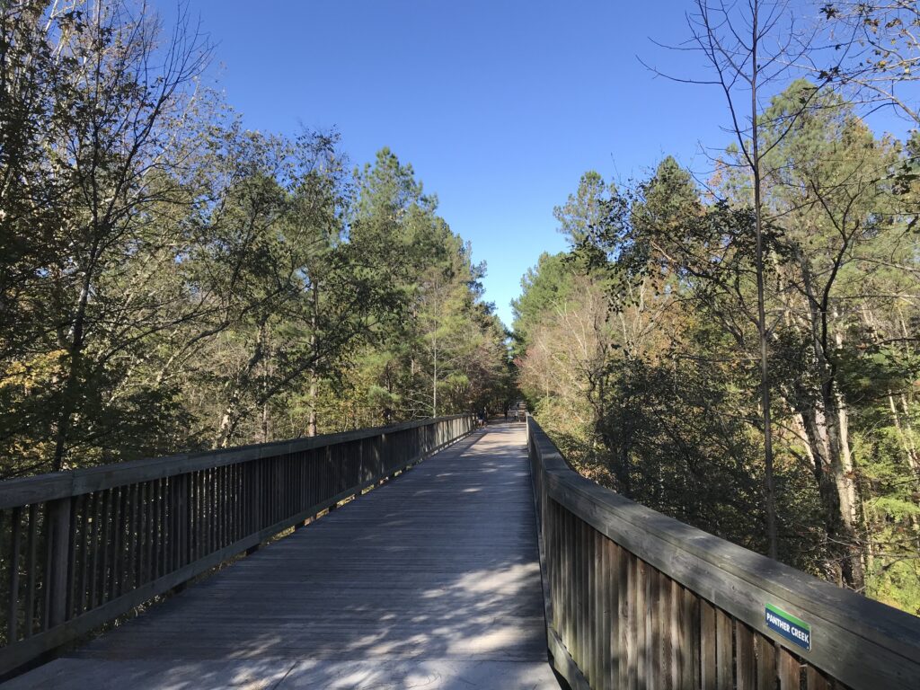
As I got close to Durham, I went across at least three, and maybe four, bridges or trestles with great rickety boards. They really made a racket. The closer to Durham the louder the bridge that I rode across. This was awesome, actually.
The downside was around Mile 2 I went through a litter-strewn section. There were some men hanging around. I’d say it looked like a homeless hangout. Nothing wrong with that but it didn’t feel safe although I went through it, twice, with no issues.
Bottom line – very nice trail. For this ride, the detour section was not well-marked but that will be temporary. There was the one-mile section where the trail zigged and zagged but just take it slow and watch for lane markings. The users all seemed courteous and it was surprisingly busy on a November weekday. My recommendation for others or if I am in the area again, is to park at the New Hope Church Road Trailhead.
Distance: 29.3 miles
Average Speed: 14.8 mph
Weight: 168
Recent Comments