RICHMOND, VIRGINIA
The goal: Park in Richmond, take a train to Williamsburg and ride back on the Virginia Capital Trail.
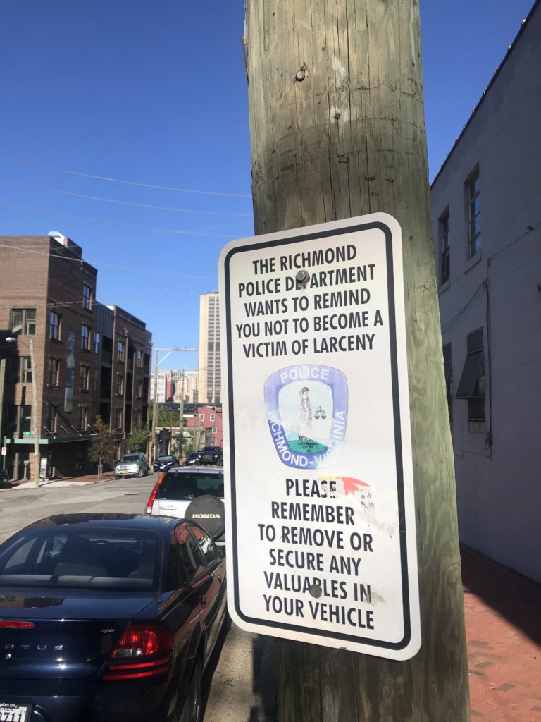
I was thinking Union Station in D.C. with its six-level parking garage. In Richmond, I found nothing other than a mostly vacant lot near the train station which needed a parking app. I drove a few blocks away and found on-street parking. After all, I was riding a bike today so it really didn’t matter how far away I parked.
The area where I parked seemed a little sketchy. Next time: I will park at the trailhead at the bottom of Pear St. then bike to the station.
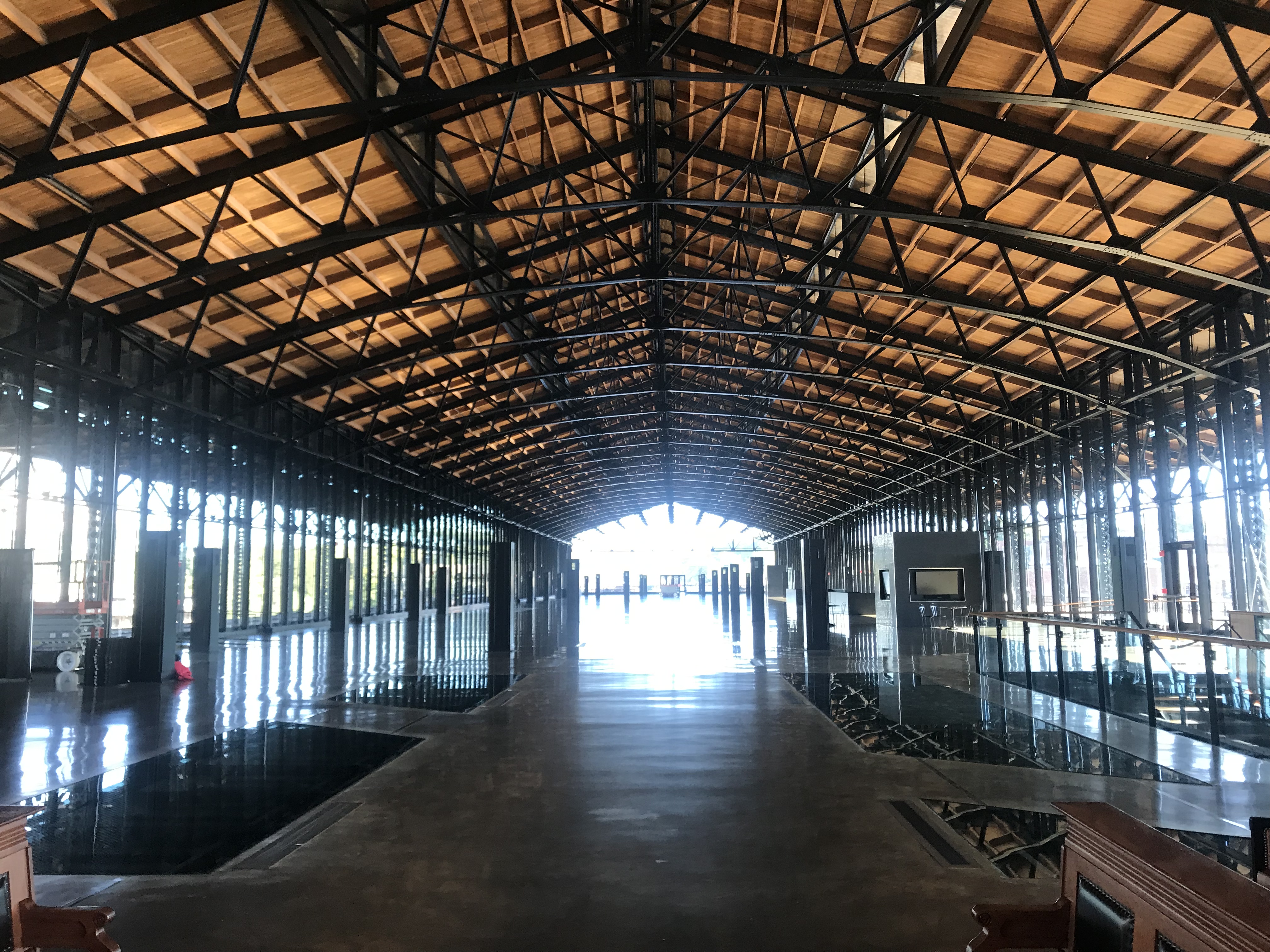
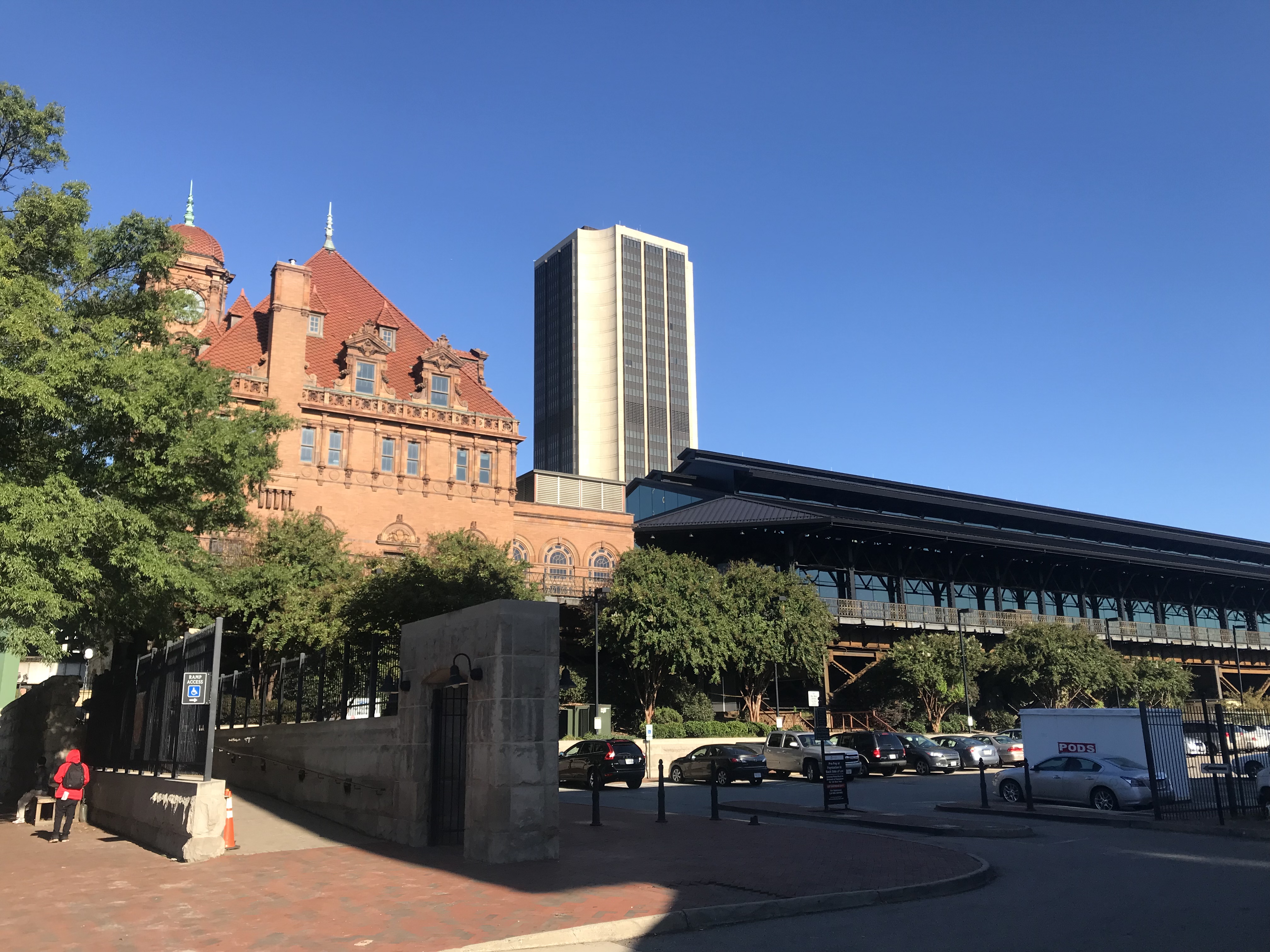
Like so many U.S. train stations, the Richmond Main Station is a treasure. What a beautiful building. It was, however, lacking in signage. I had no idea which track my train was arriving on or how late it would be. It was scheduled at 10:03 a.m. but had not arrived by then.
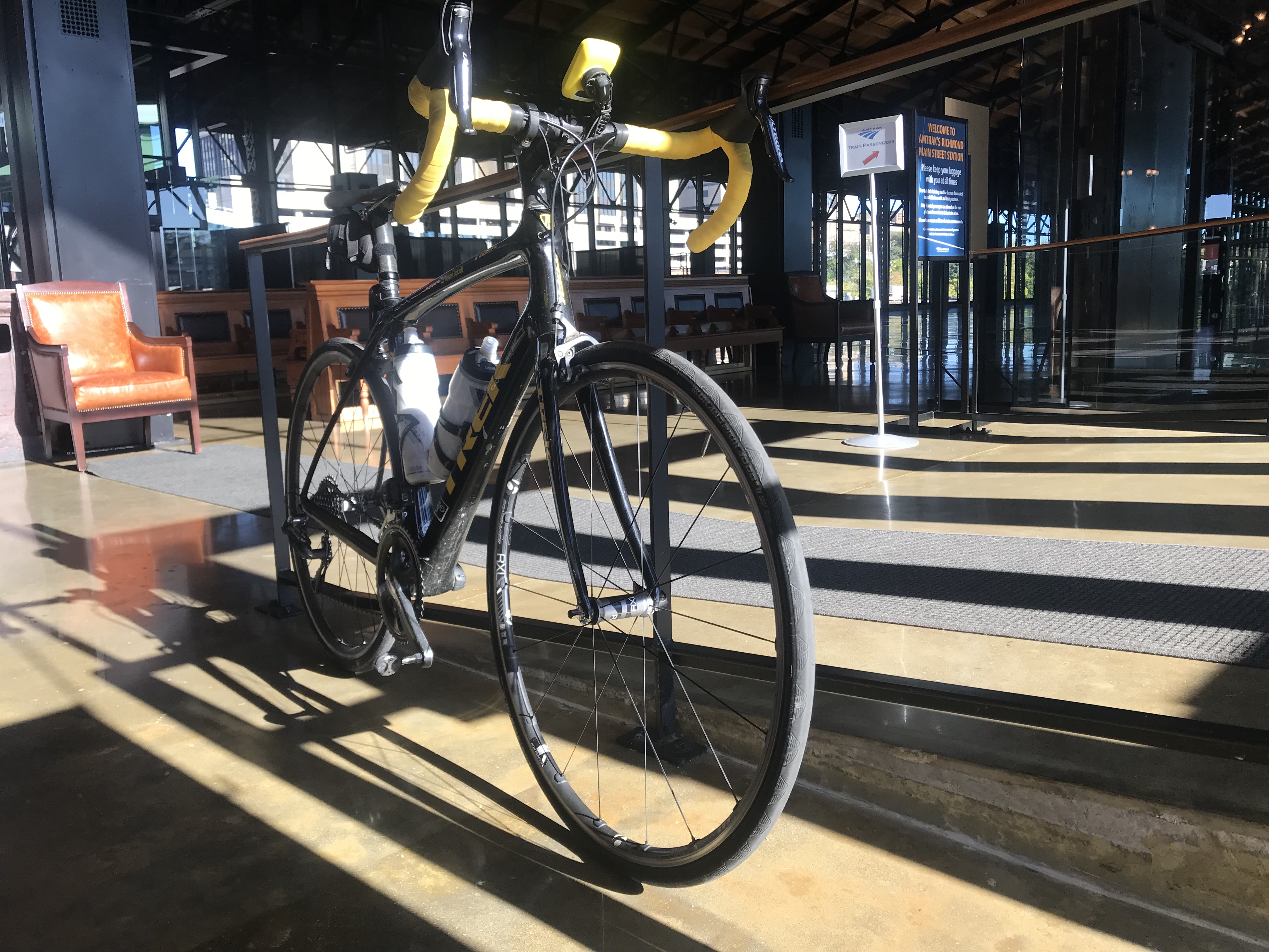
I had made a bike reservation so someone should have known that I was boarding with a bike. The baggage car was at the front of the train. There was one boarding area, in the middle, where the conductor checked our tickets.
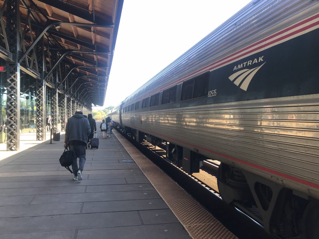
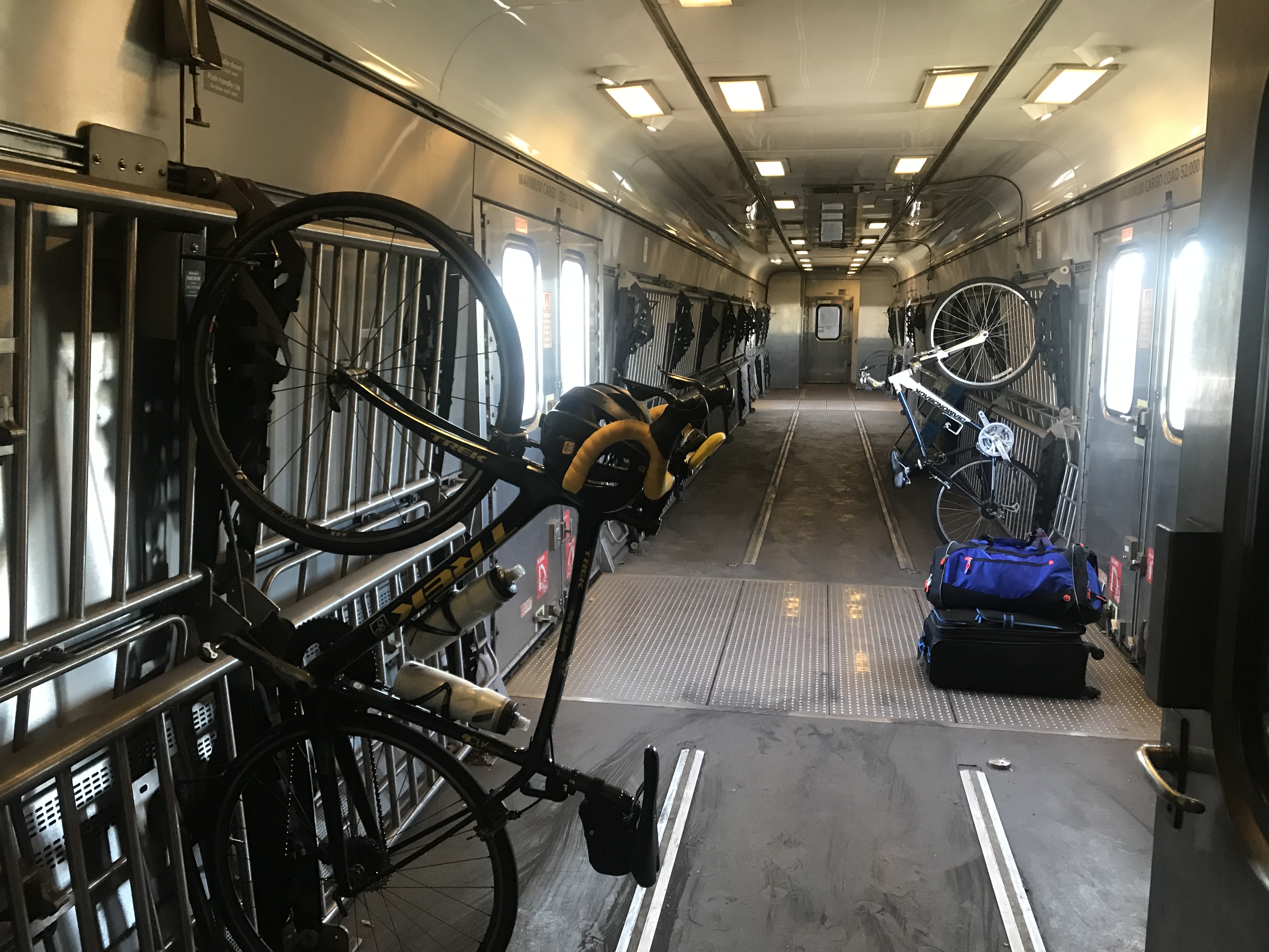
I had to enter the middle of the train. When I asked the conductor where I should put my bike he said “anywhere.” I was expecting two hooks per car but found none. One we got rolling he walked it through two cars to the baggage car and hung it on a hook.
The train ride could have been enjoyable The windows were filthy dirty and it seemed the engineer loved blowing that train whistle. Seems to me that there should be better ways in 2019 to warn people of an oncoming train rather than a whistle. I’m not sure I ever heard a train in Switzerland use one.
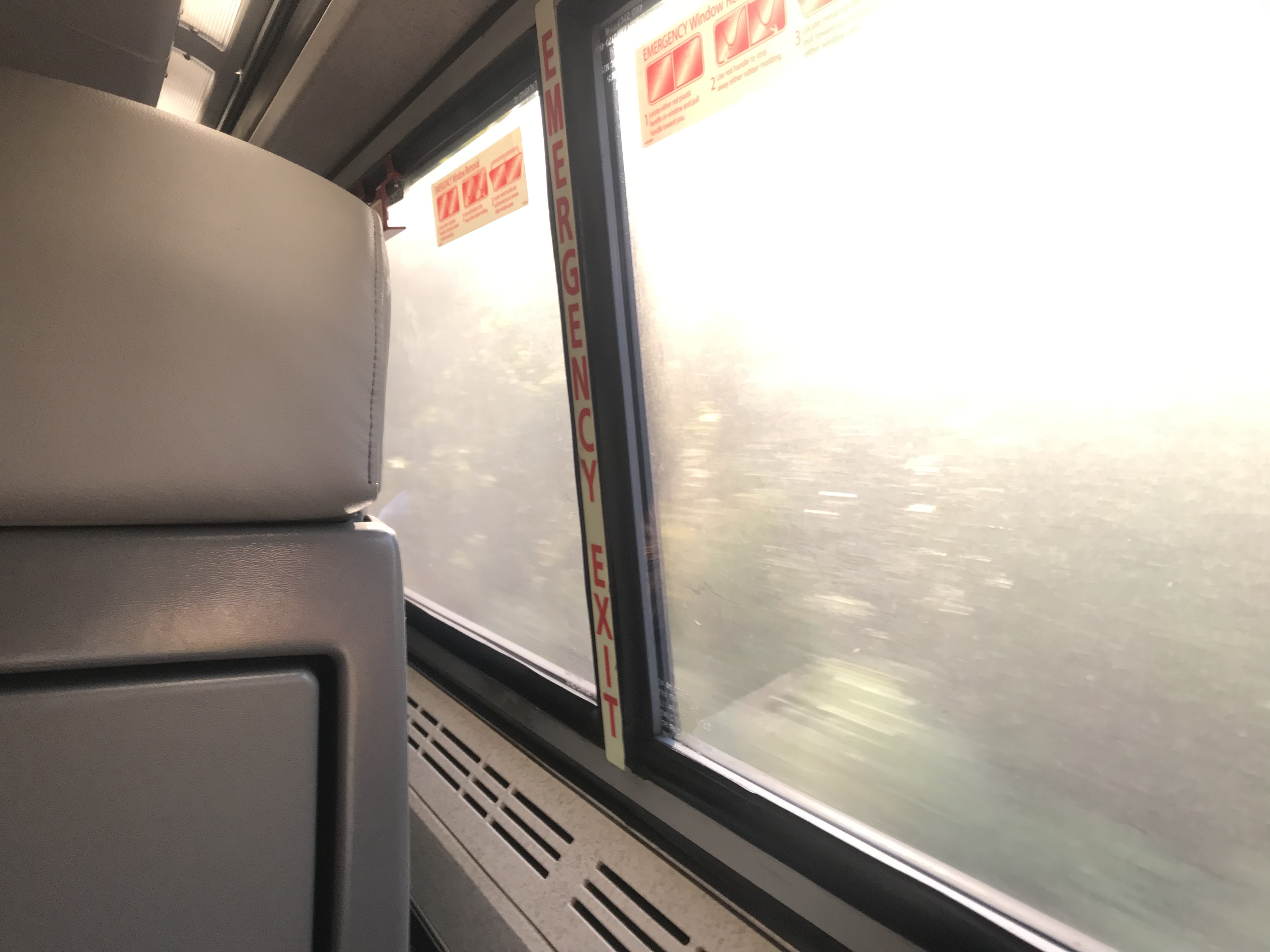
With the glare of the sun hitting those windows, it was hard to see any scenery. But mostly it was a forested area from Richmond to Williamsburg.
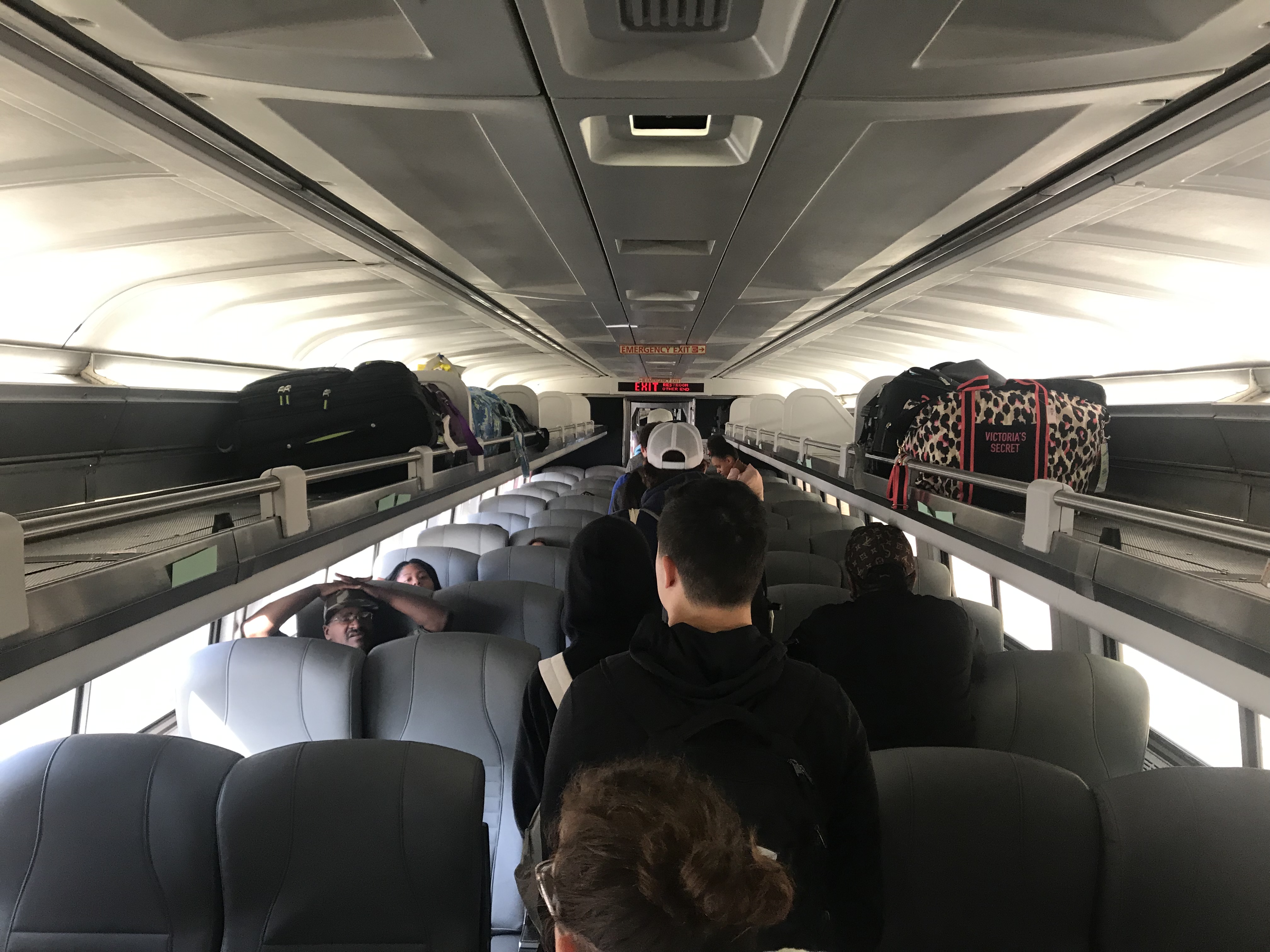
The seats were much better than the last time I rode a train. Only the constant whistle kept it from being truly enjoyable.
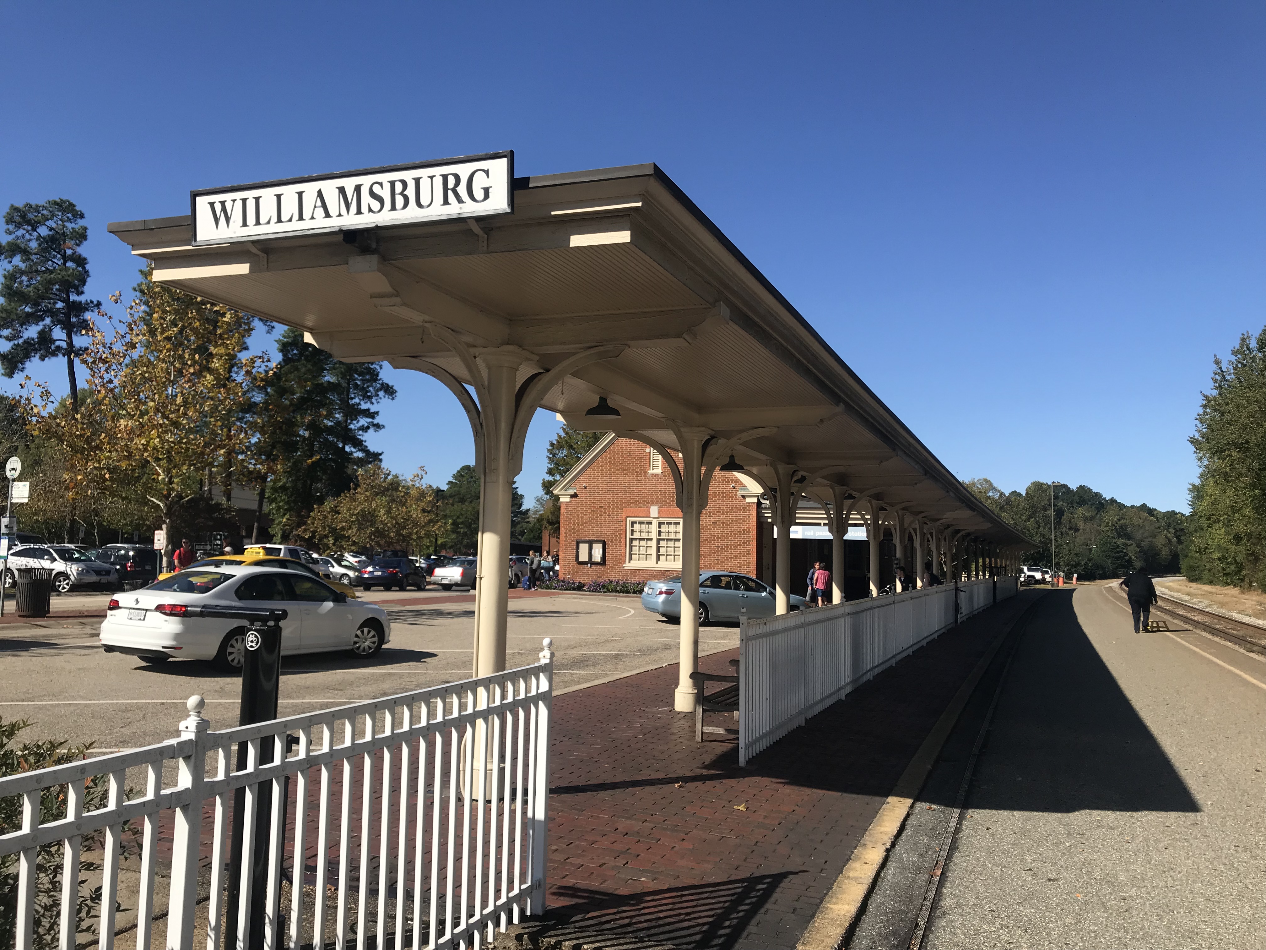
At the Williamsburg station, I had to exit from the middle of the train then walk back up to the front to pick up my bike. Seems the two cyclists would have been better served to exit with their bikes.
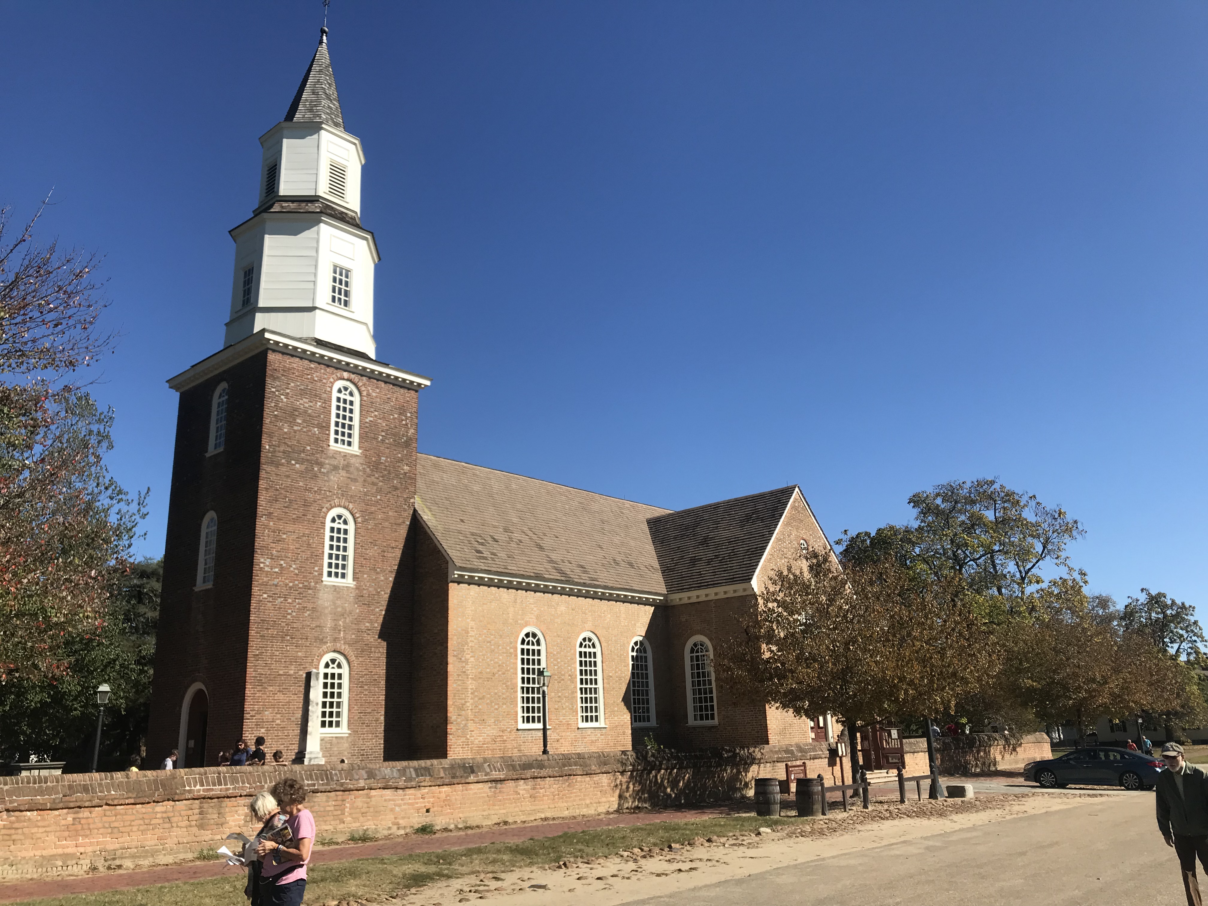
I had no clue where I was but then – I was in Colonial Williamsburg. I rode the traffic-free streets for a few minutes then found Rte. 5 towards Jamestown.
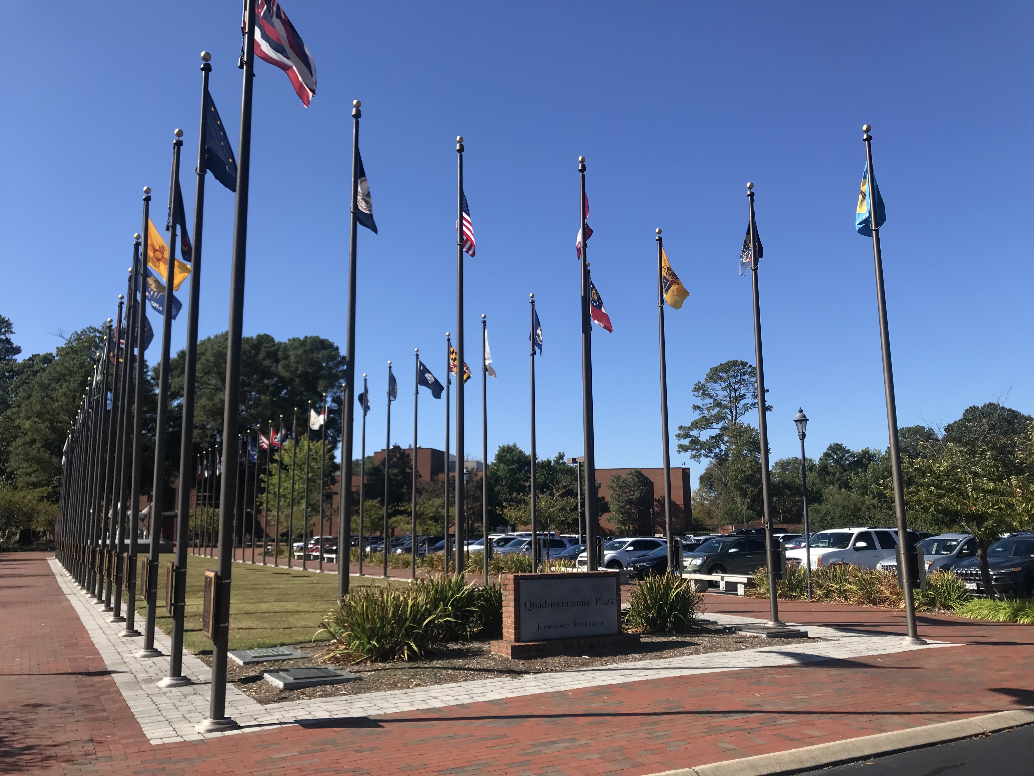
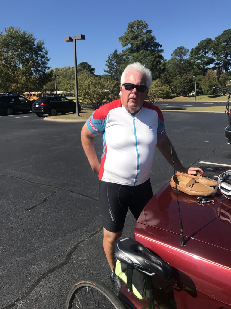
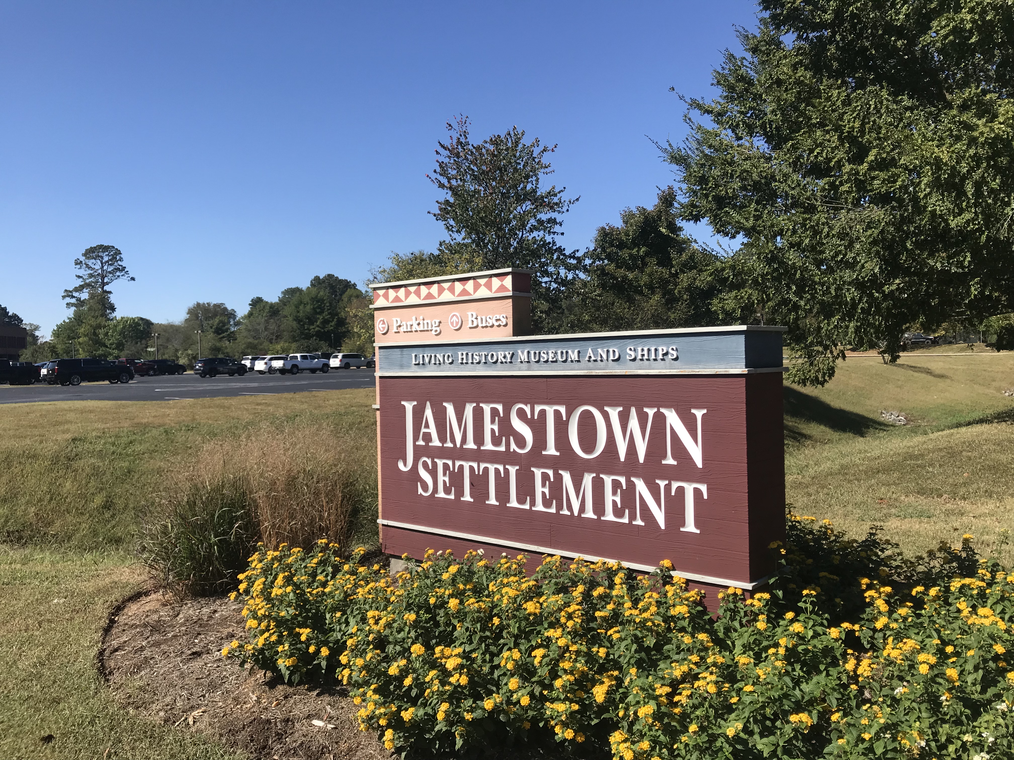
Arriving at Jamestown Settlement, I met Terry Moran. We would ride together the first 13 miles of the Virginia Capital Trail before he would turn around and go back to his Williamsburg home.
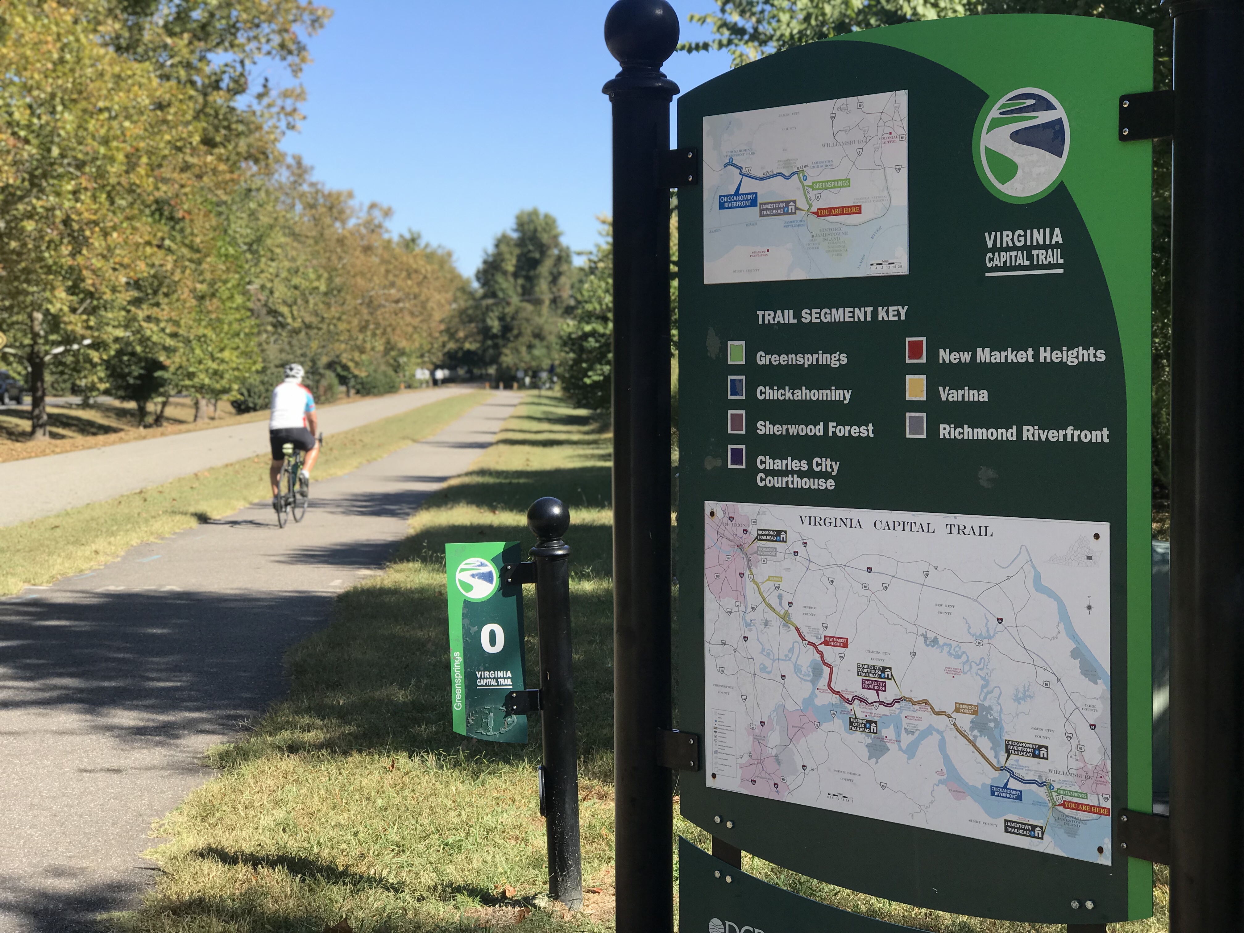
The trail begins here and is a 51-mile bike trail from Richmond to Jamestown. It is 98% trail with two small portions at Charles City diverted to the street as well as one section of about 1/4 mile near Richmond.
If you love wooden boardwalks this is the trail for you. Every mile it seems you cross one of the bridges. All are in great shape now but wonder if they will hold up in 10-15 years. But enjoy them now. They are great!
The eastern section is pancake flat. It is situated in the Middle Peninsula section. It is wooded with its share of wooden bridges as it follows Rte 5.
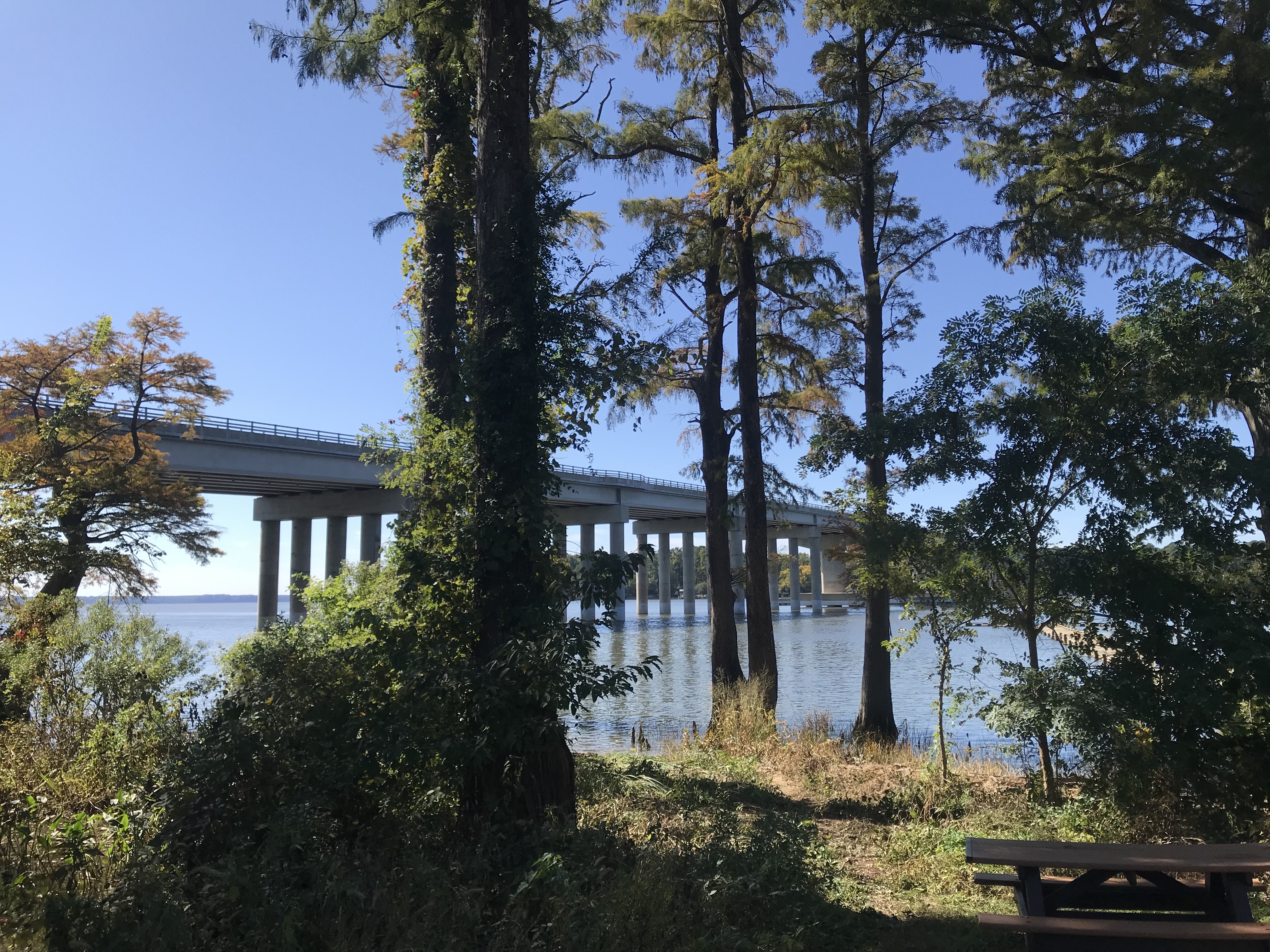
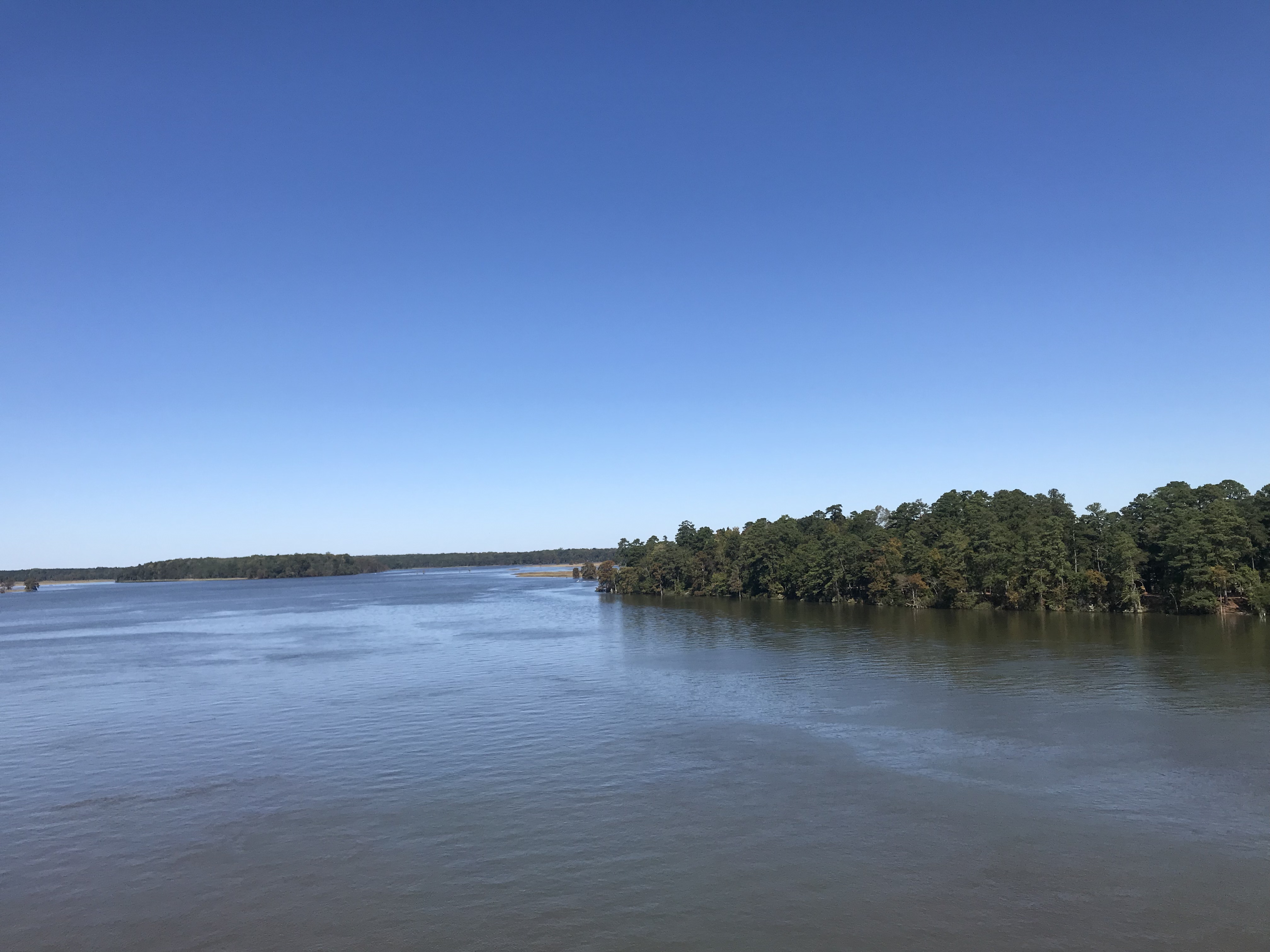
At MP 6 (or 7) the trail crosses the Chickahominy River. There is a separate bike lane on either side or the cool kids can ride on the shoulder on the highway.
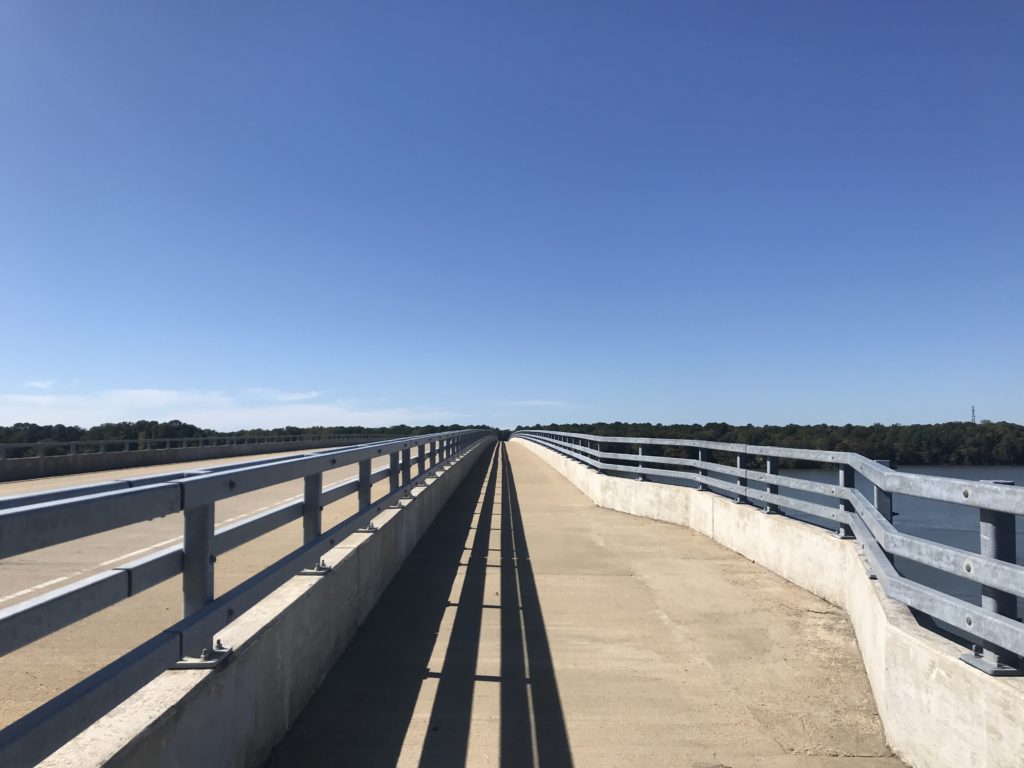
Once over the bridge, the trail continues with Charles City being the next landmark. Charles City Courthouse is at MP 21. There are little to no amenities on the trail so grab them when you see them.
Terry had turned around at MP 13. He suggested to me that I stop at the Citgo service station at Charles City – for their fried chicken. I came to Haupt’s Country Store and at first, kept going. But then I smelled the chicken and went inside. Chicken by the piece was $2.65 for a breast and roll. It was good but there was no seating area, not even a bench outside.
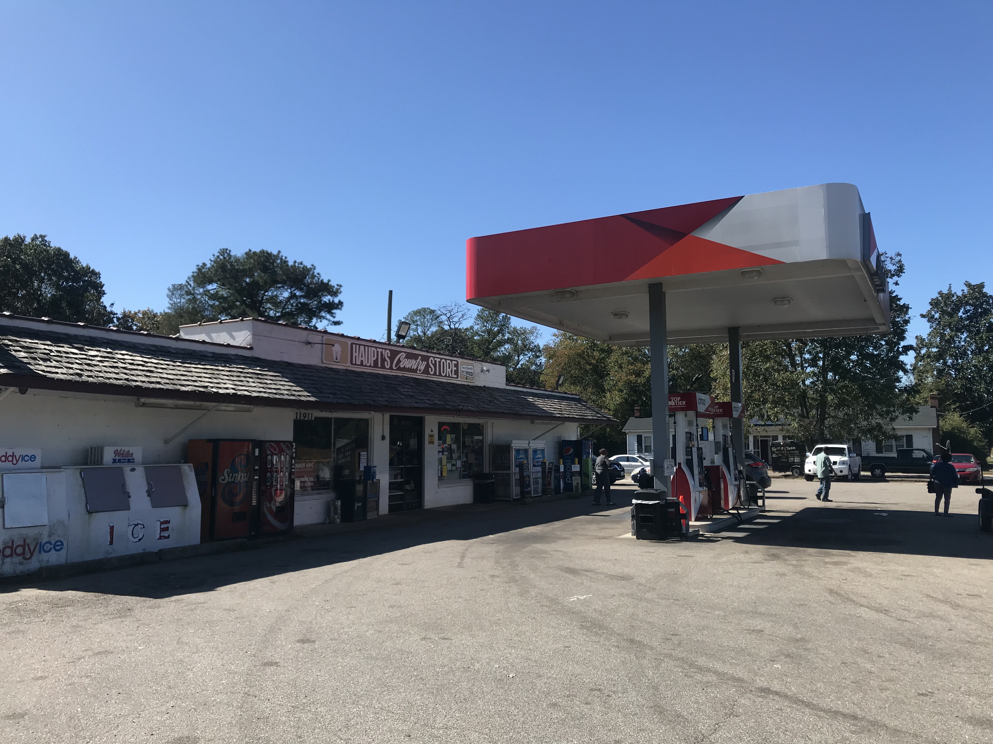
At Charles City, the trail disappeared into the street for a couple hundred yards. I passed Cut’s Courthouse Grille and saw some bicycles parked outside. That is your restaurant option if you want sit-down. At the Citgo Station, I stood next to a trash can.
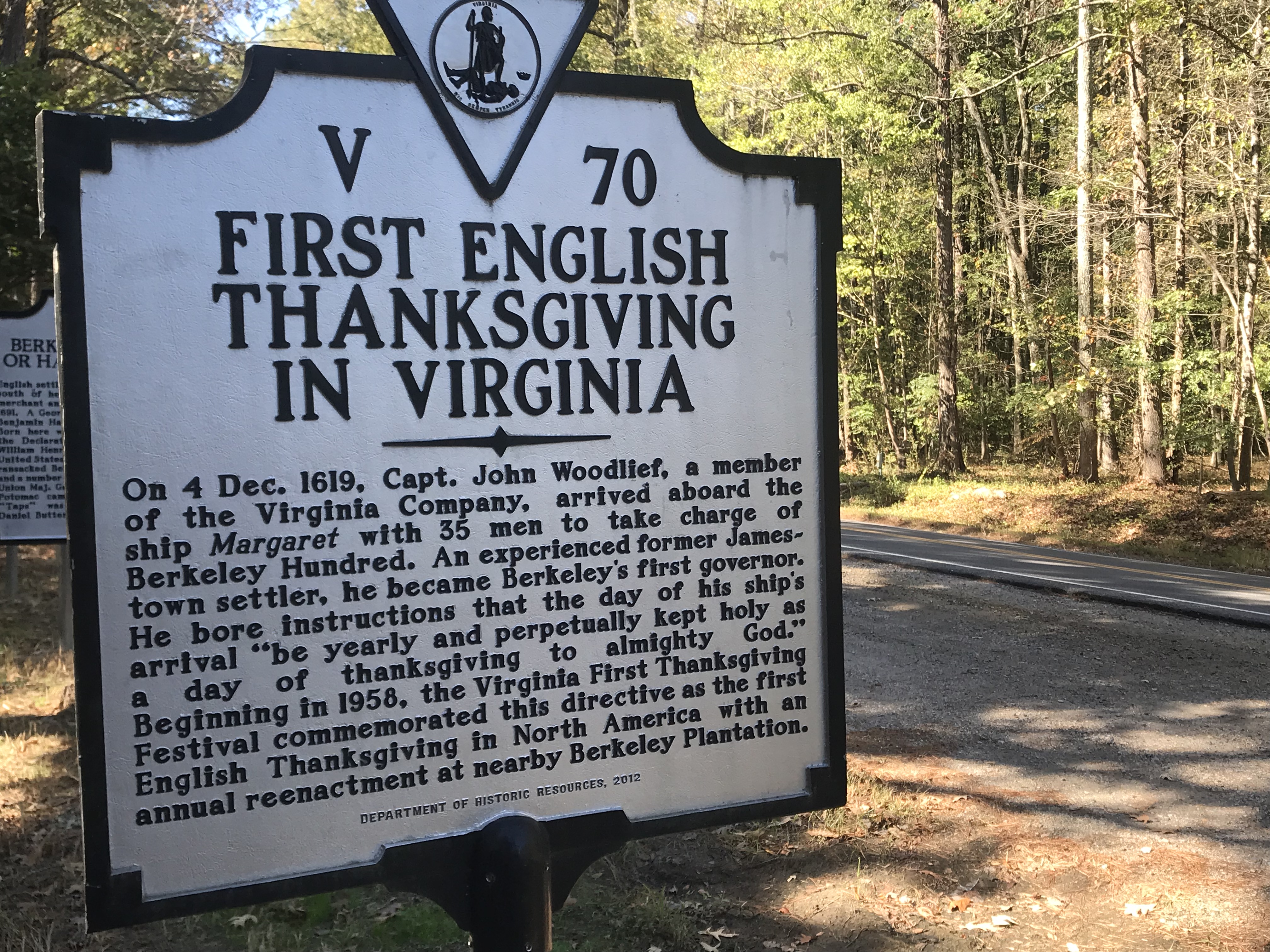
After Charles
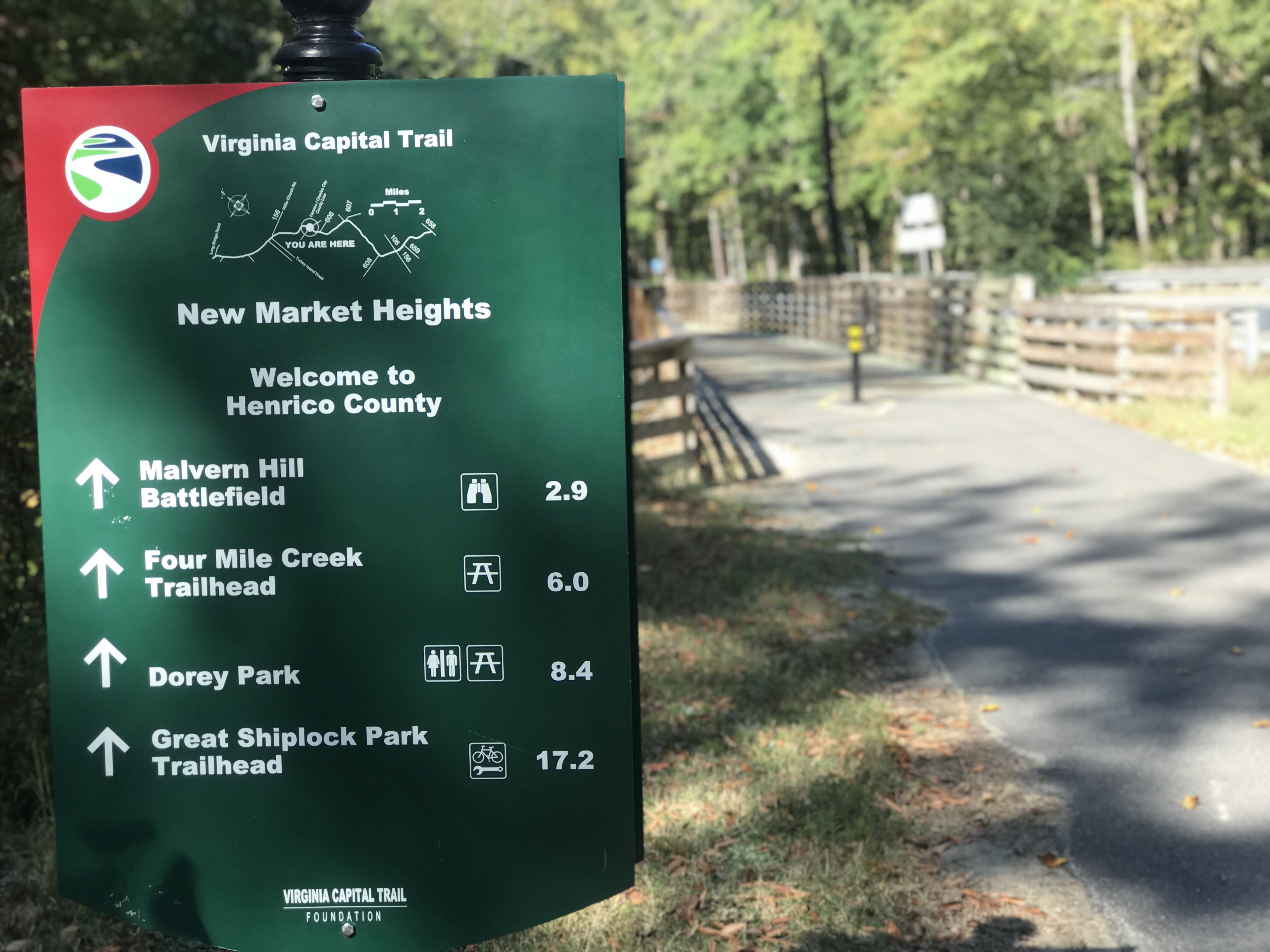
Once in Henrico County, the trail went from flat to rolling. The rustle of dried leaves cracked beneath my tires. It was still wooded in many sections and the Fall leaves were covering the trail.
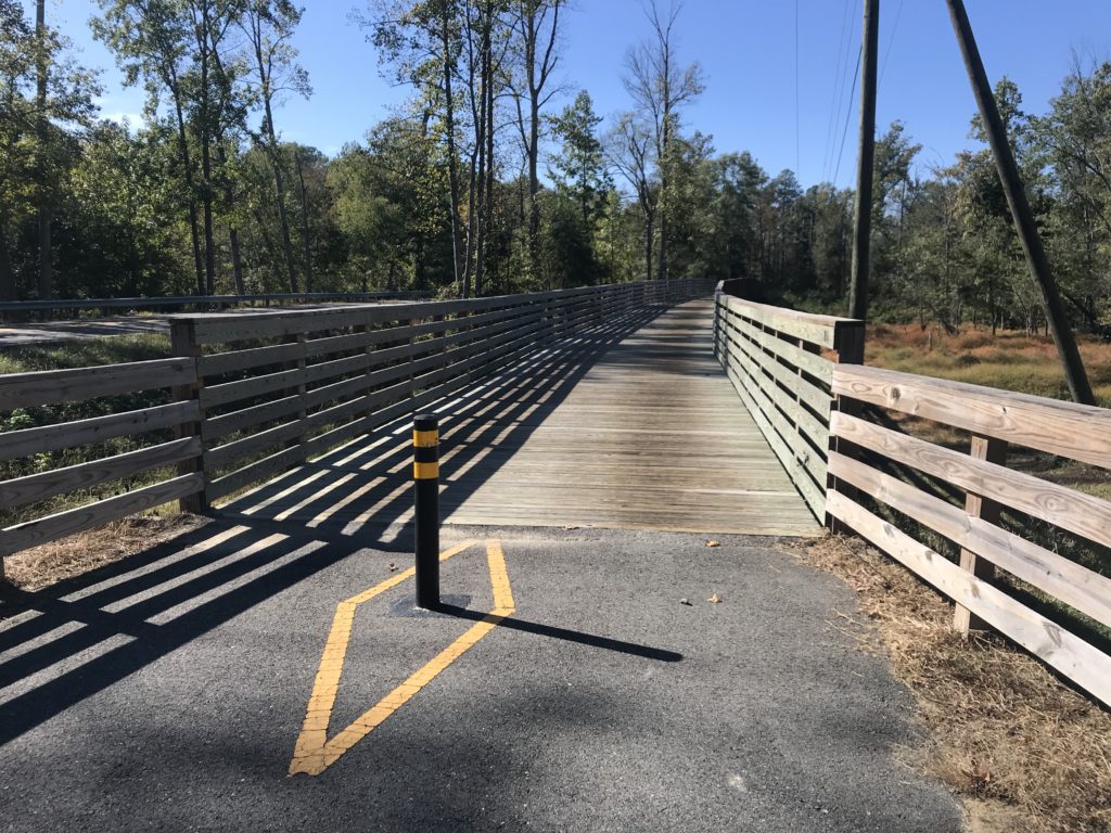
Fueled by my piece of chicken, I averaged 17 mph from Charles City to Richmond. My time at either end, Williamsburg and Richmond, slowed my average speed as I was site-seeing in Williamsburg and climbing Libby Hill in Richmond.
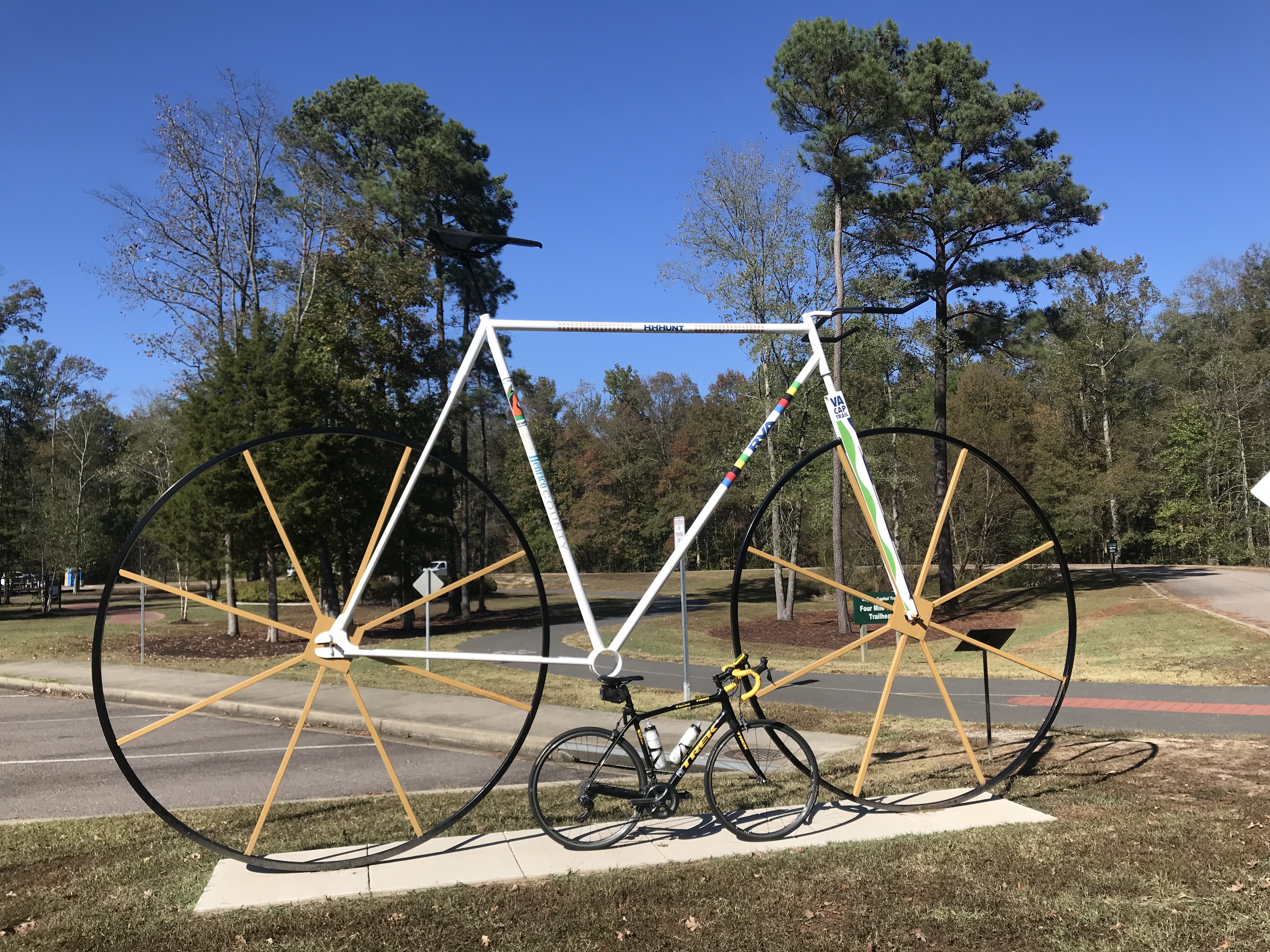
As I got closer to Richmond the trail became familiar to me. I stopped here in April and had ridden part of this before.
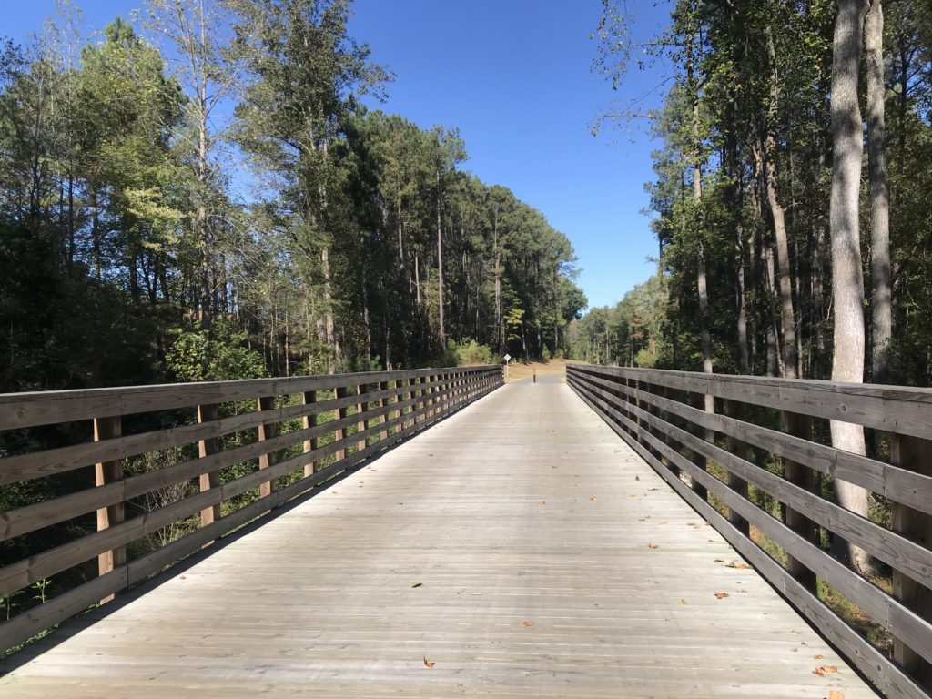
The trail goes under I-295 and is the only place there is considerable road noise.
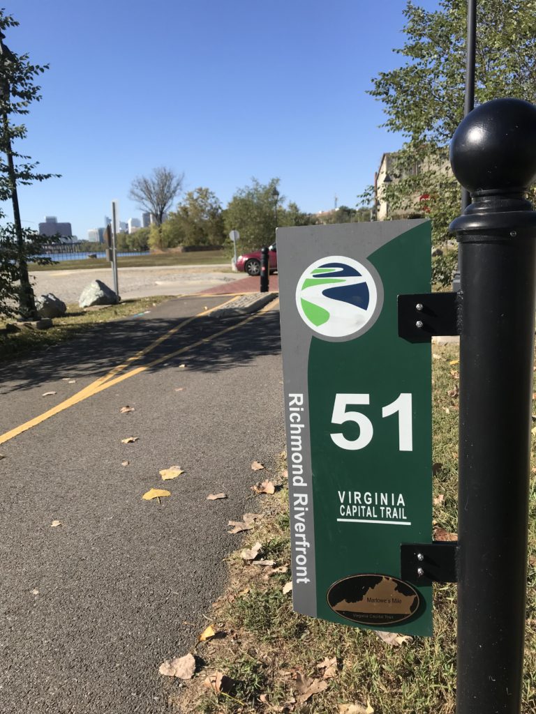
As I got close to Richmond, I remembered some of this trail from having ridden it four years ago when I volunteered at the UCI World Championships. But some of it was also new to me.
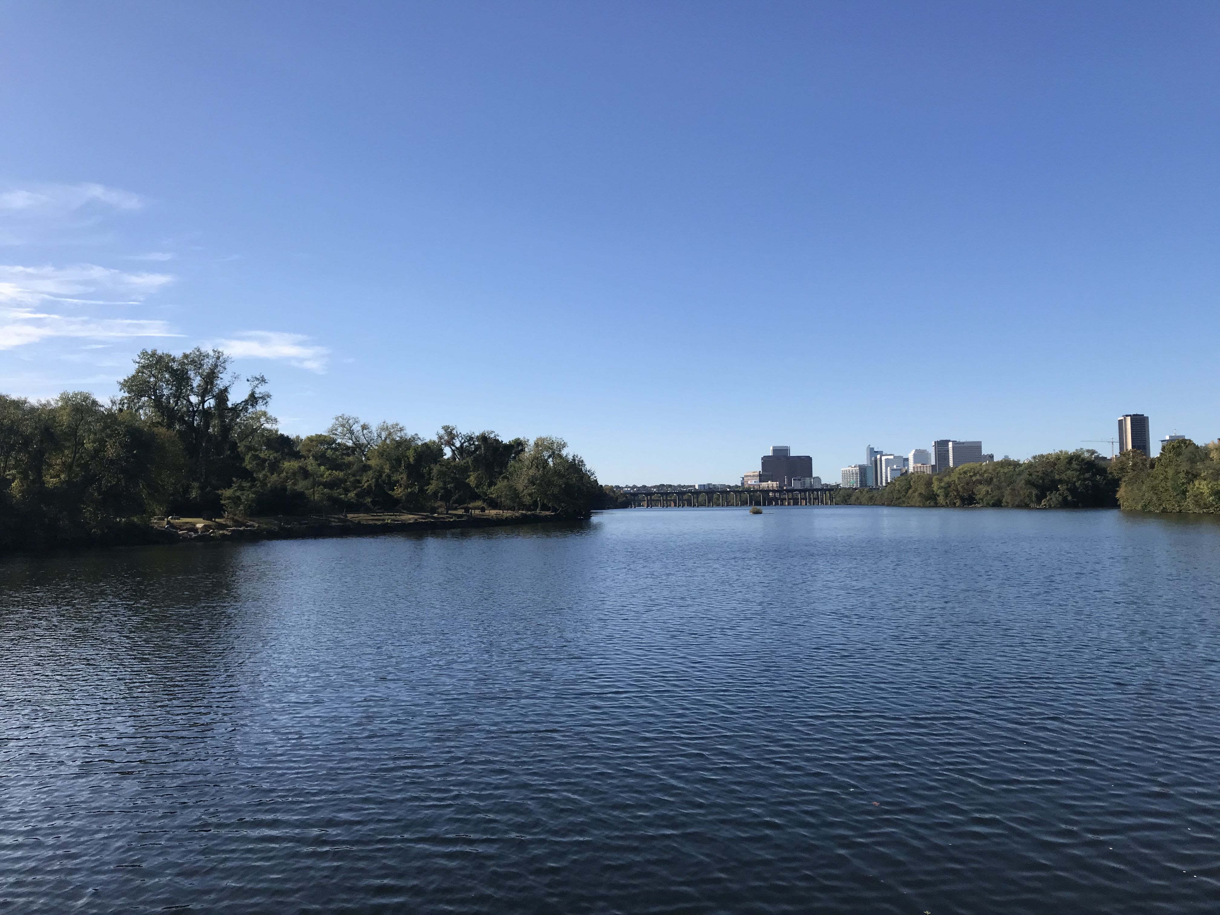
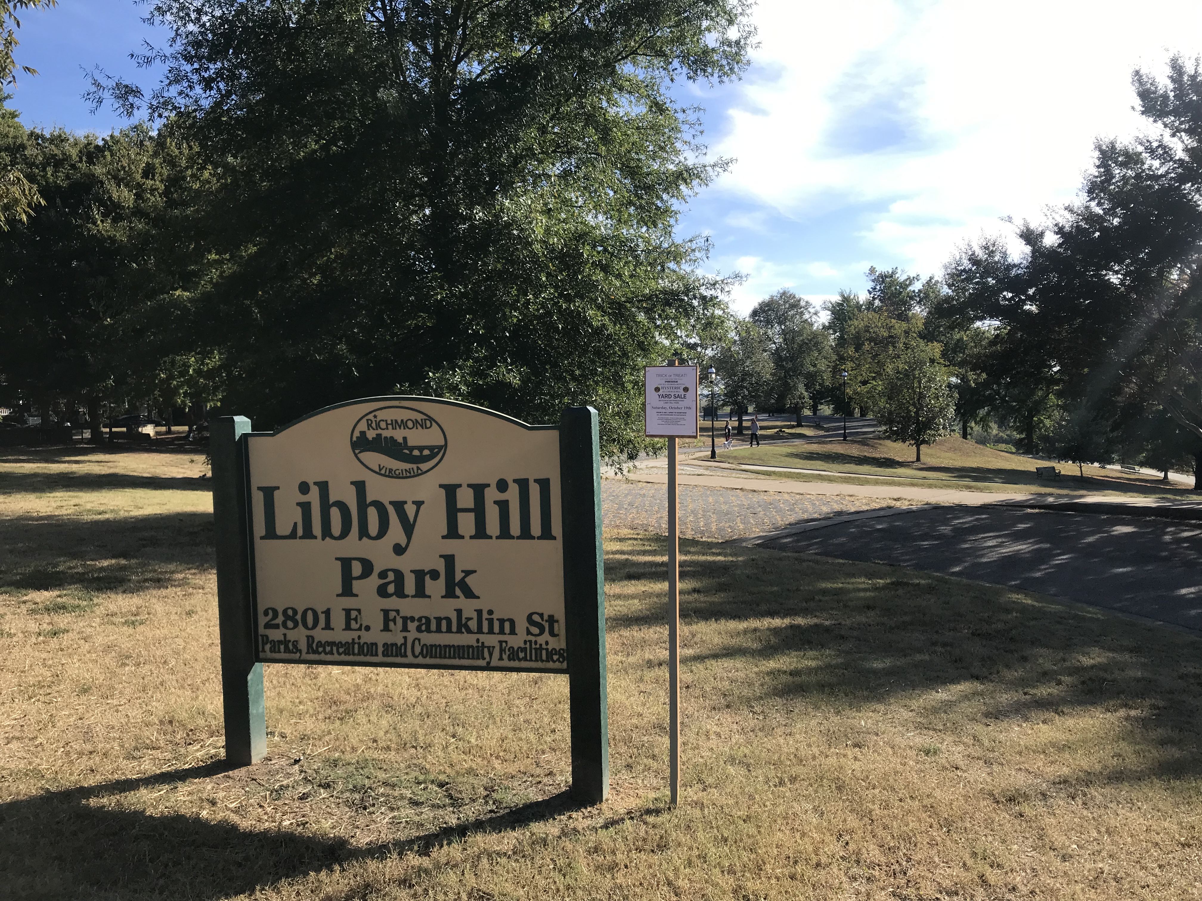
Rather than finish the last quarter-mile of the trail, I turned off it to go up Libby Hill and find where I was parked. At Libby
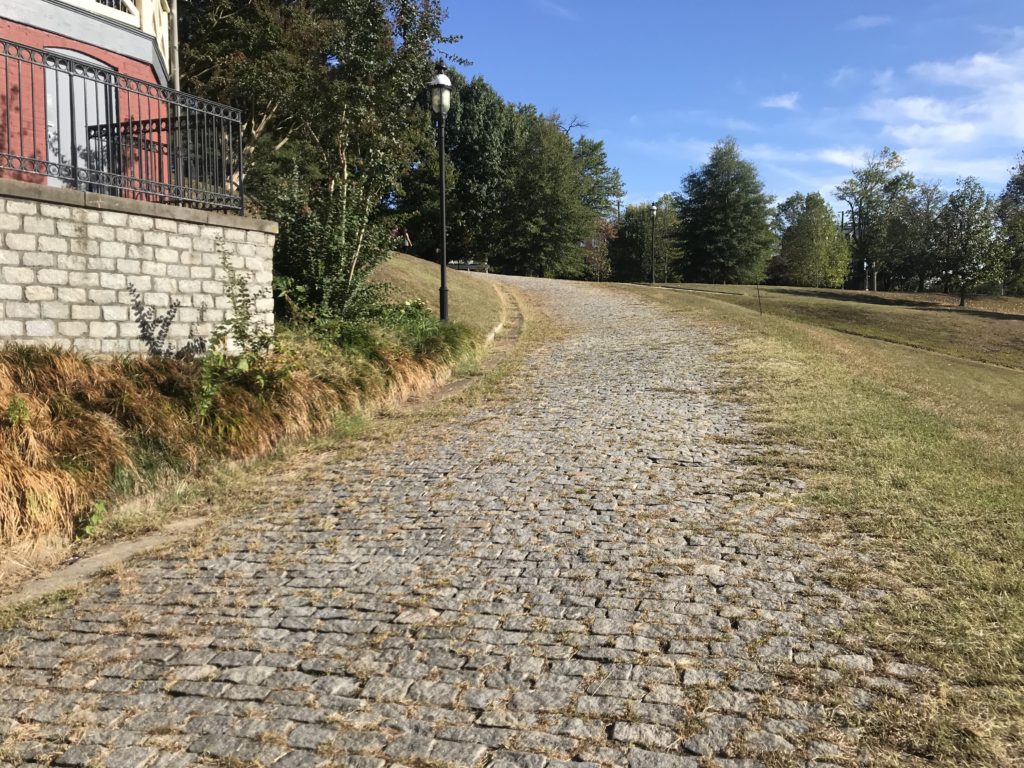
At the top I needed to find my way to my car. I was on Richmond Hill and the street where I parked, Grace Street, did not continue because of a cliff.
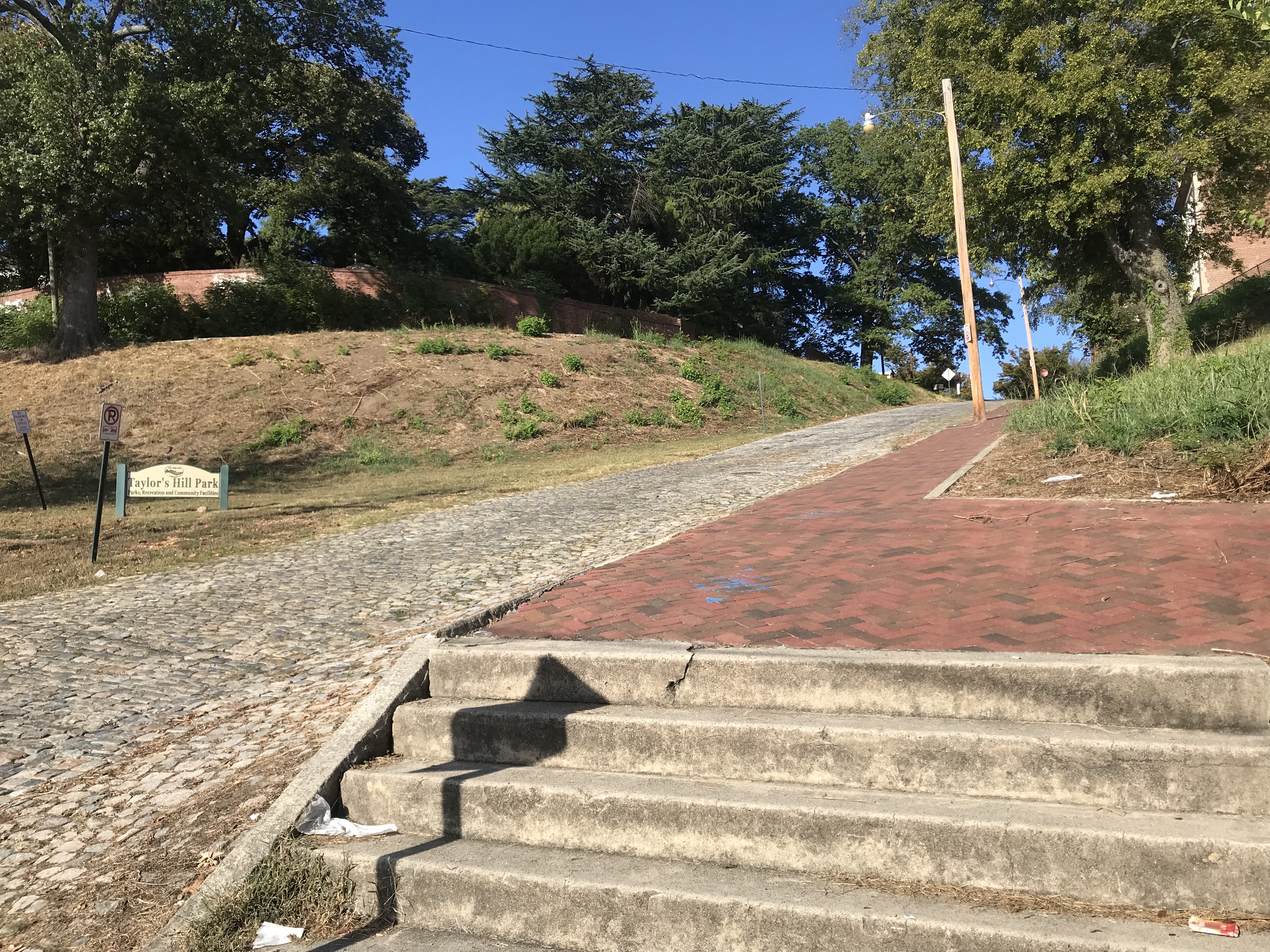
sN. 23rd St is a cobbled street that looks to be 12% grade going down. I decided not to ride down it, afraid of my traction while bouncing on the cobbles. The sidewalk presented a good option and I carefully went down the sidewalk. However, at the bottom, it becomes steps.
It was a 60-mile day. It was a beautiful day. I would recommend this again although I would think I would like to add the Jamestown Ferry as an option and ride on the south side of the James to Rte 156.
