Journey Through Virginia’s Historic Heart

A very enjoyable ride – Richmond to Williamsburg
A very enjoyable ride – Richmond to Williamsburg

A train ride from Richmond to Williamsburg and a bike ride back

Train to Williamsburg and a bike ride back to Richmond
CHESAPEAKE, VIRGINIA One of my favorites. Just discovered I never posted about this. Need to come back to add info. Did not take a lot of photos because I was chasing PR segments. Rode faster today than I did one year ago. I like the loop starting in Chesapeake because it is closer than driving […]

A ride in Lancaster Co., Virginia that featured two river crossings by ferry
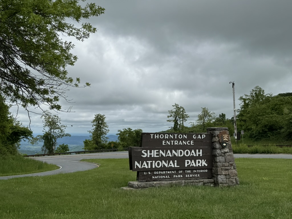
SkyMass – A pretty hard ride up Skyline Drive and over Massanutten Mountain.


Recent Comments