Double WOD

RESTON, VIRGINIA

It’s local. I ride on portions of it all the time so I never write about it. It is the Washington & Old Dominion Rail Trail, which runs from Arlington Co., near Shirlington, to Purcellville in Loudoun Co.
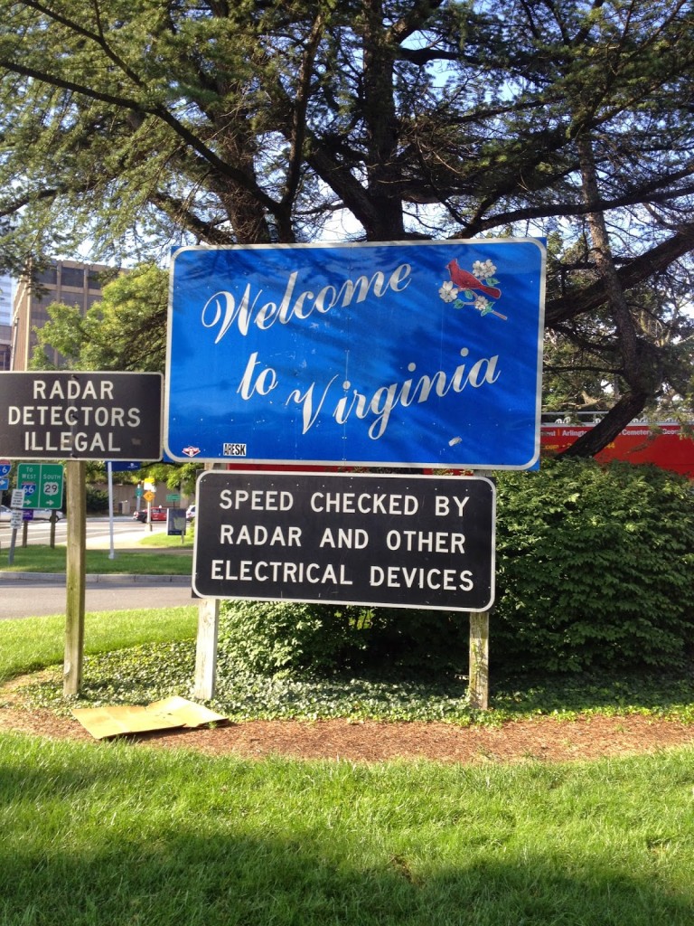
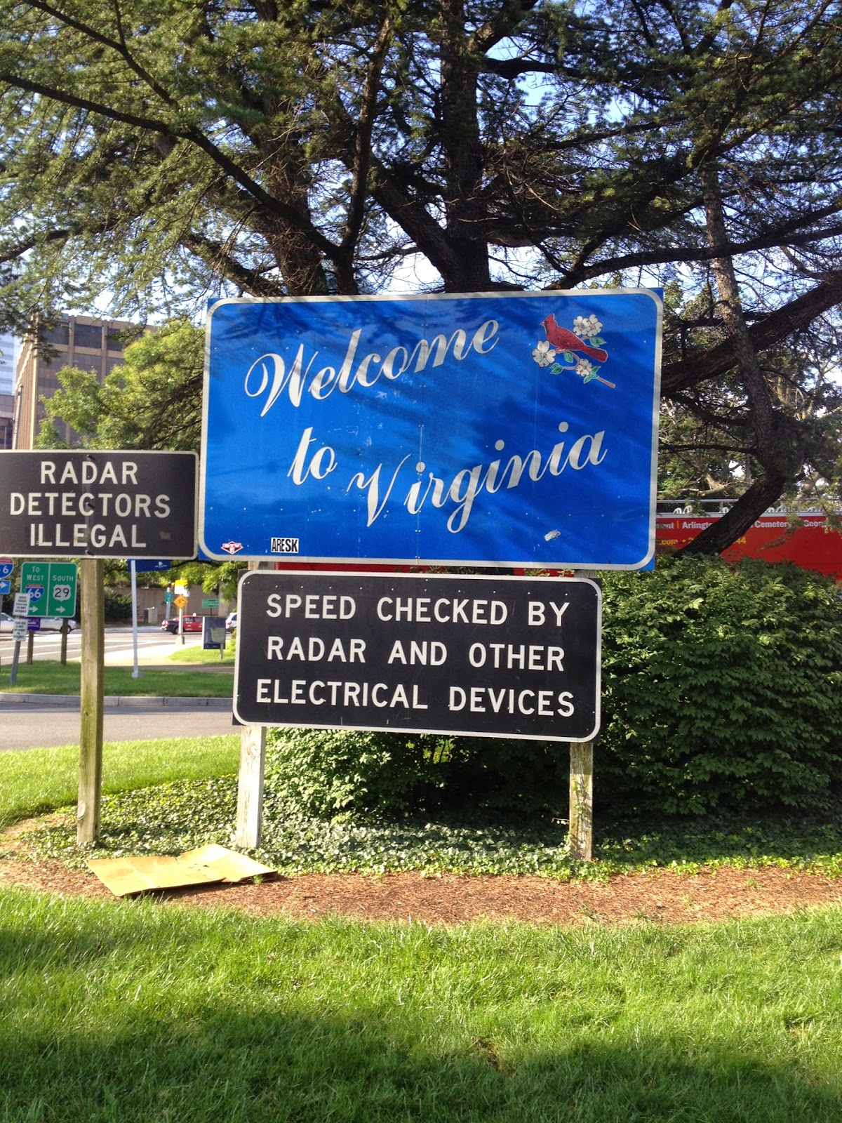
Sign for motorists as they enter Virginia from the Key Bridge in Georgetown
Sign is in Rosslyn next to the Marriott

I could do it more justice by writing about its history. I won’t. But it runs 45 miles from Arlington to Purcellville, most of the way on the right of way of the old Washington & Old Dominion, or W&OD, or simply WOD (Wad).
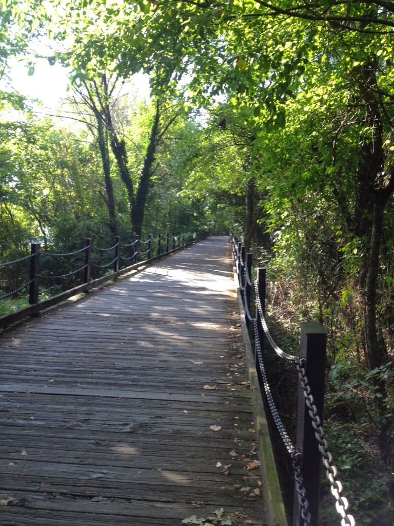
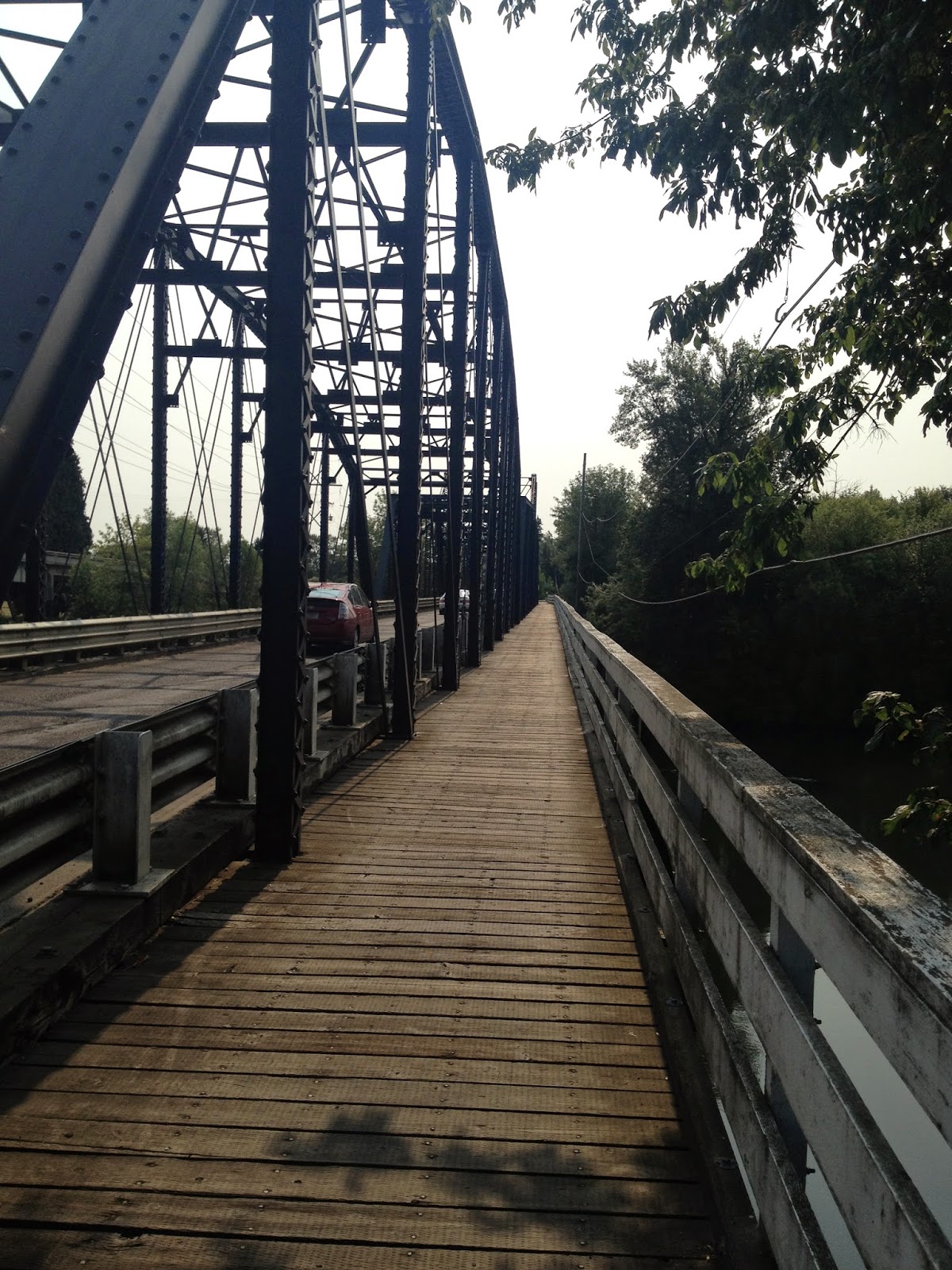
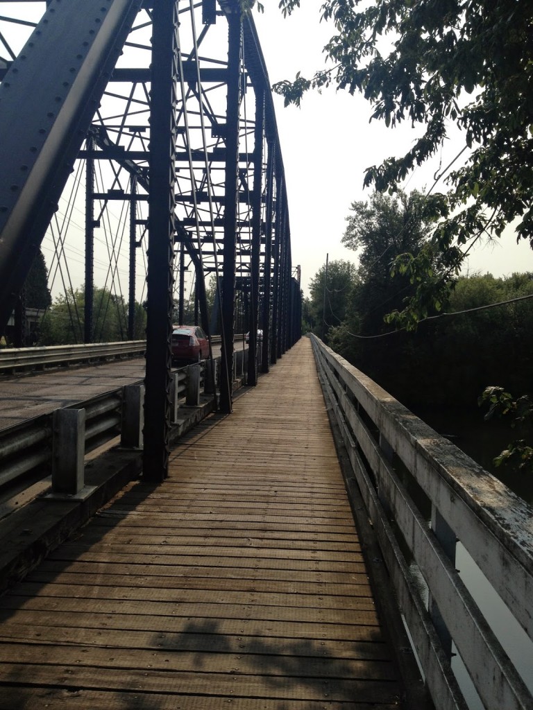
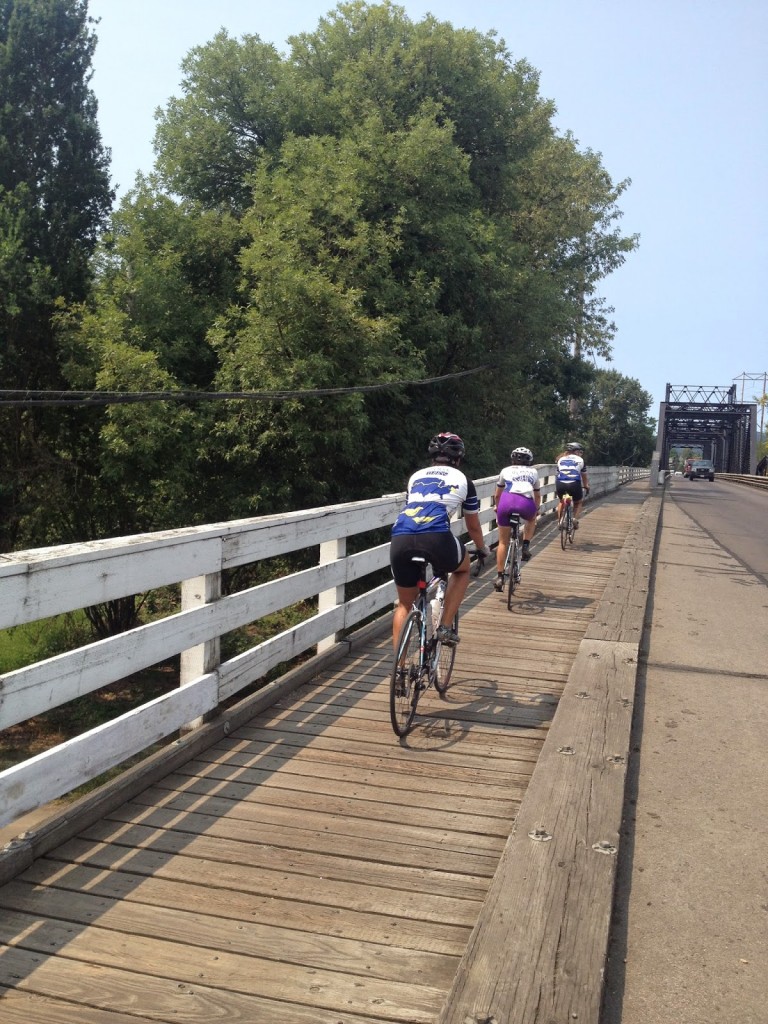
Not this section but the same boardwalk on the Mount Vernon Trail
I crashed on this on July 3, 2013

I wanted to do a double, out and back, but wasn’t sure where I would start. I also knew that a double would give me 90 miles and I might as well go for 100, it being so close and all.
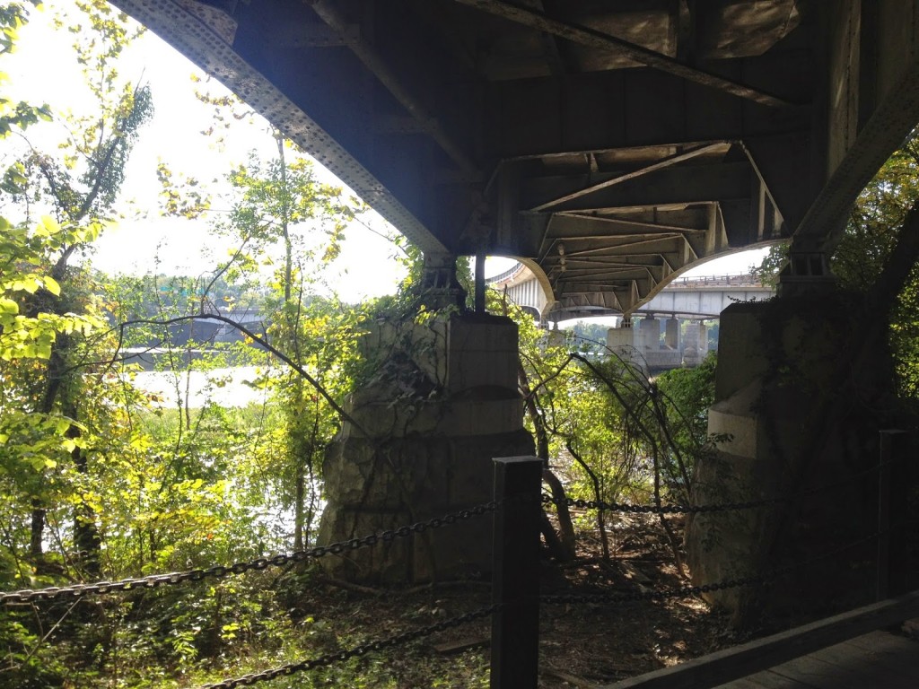
Passing under the Roosevelt Bridge into D.C.
Potomac River

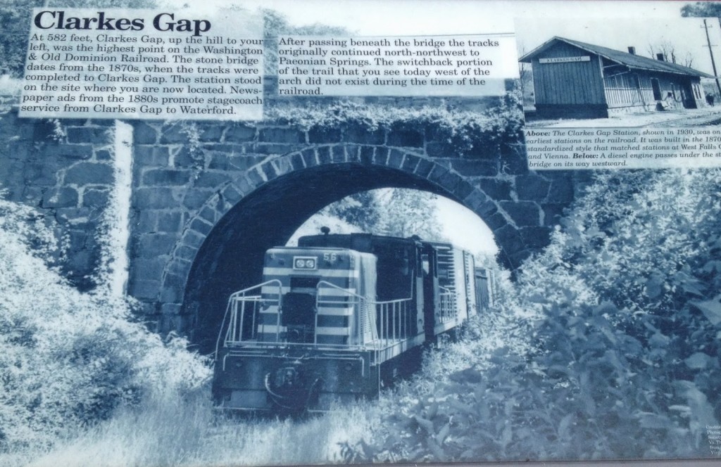
Ideally, I’d like to start at the terminus near Shirlington. That is the low point on the trail. And I would head west to Clarkes Gap, the high point, which is between Leesburg and Purcellville. After a turn around it would be all downhill, right?
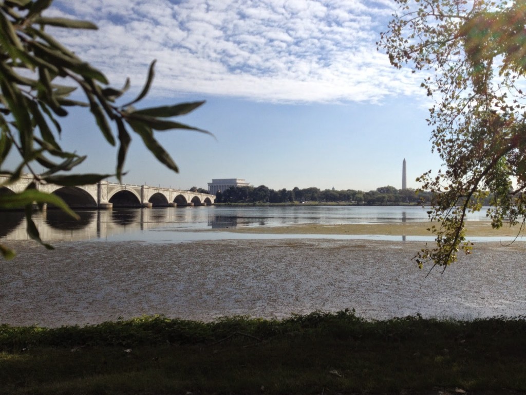
Potomac River looking at Memorial Bridge across to D.C.

Well, not exactly. But that’s the rough way to head. And for the extra 10 miles I would add the “Airport Loop” that goes by Washington Reagan National Airport. That uses the Custis and Mount Vernon trails.
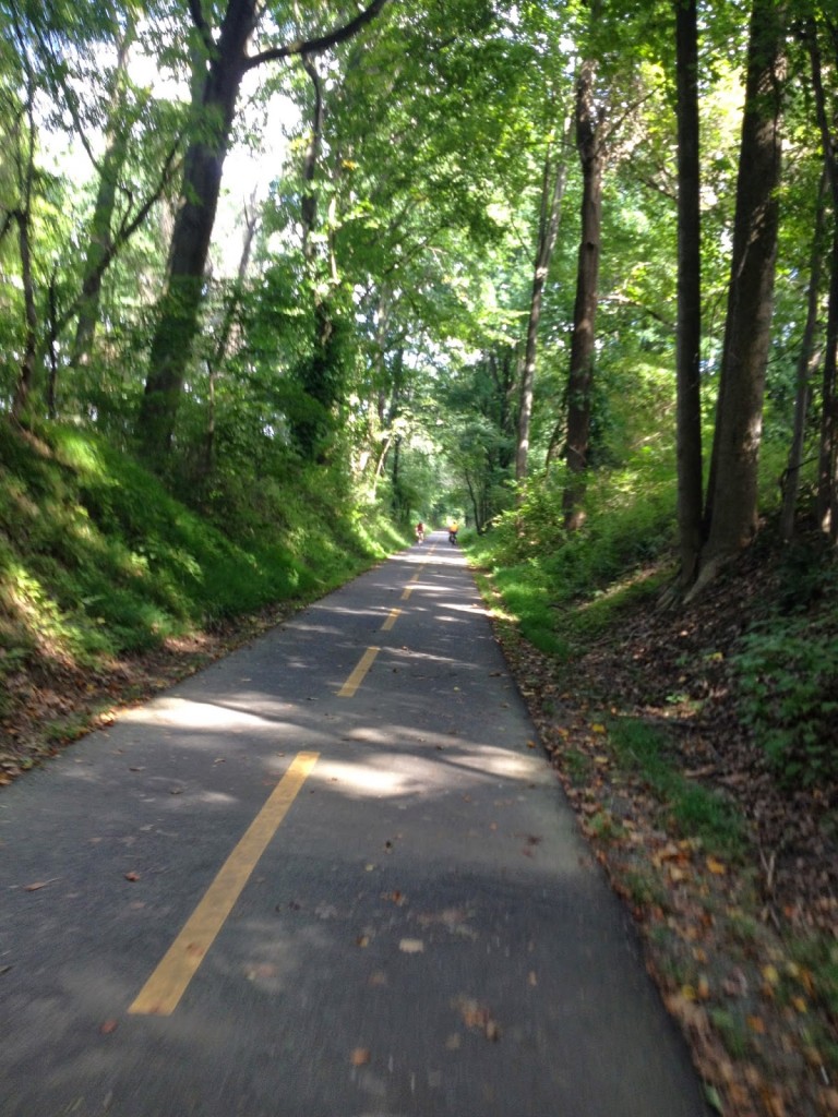
 

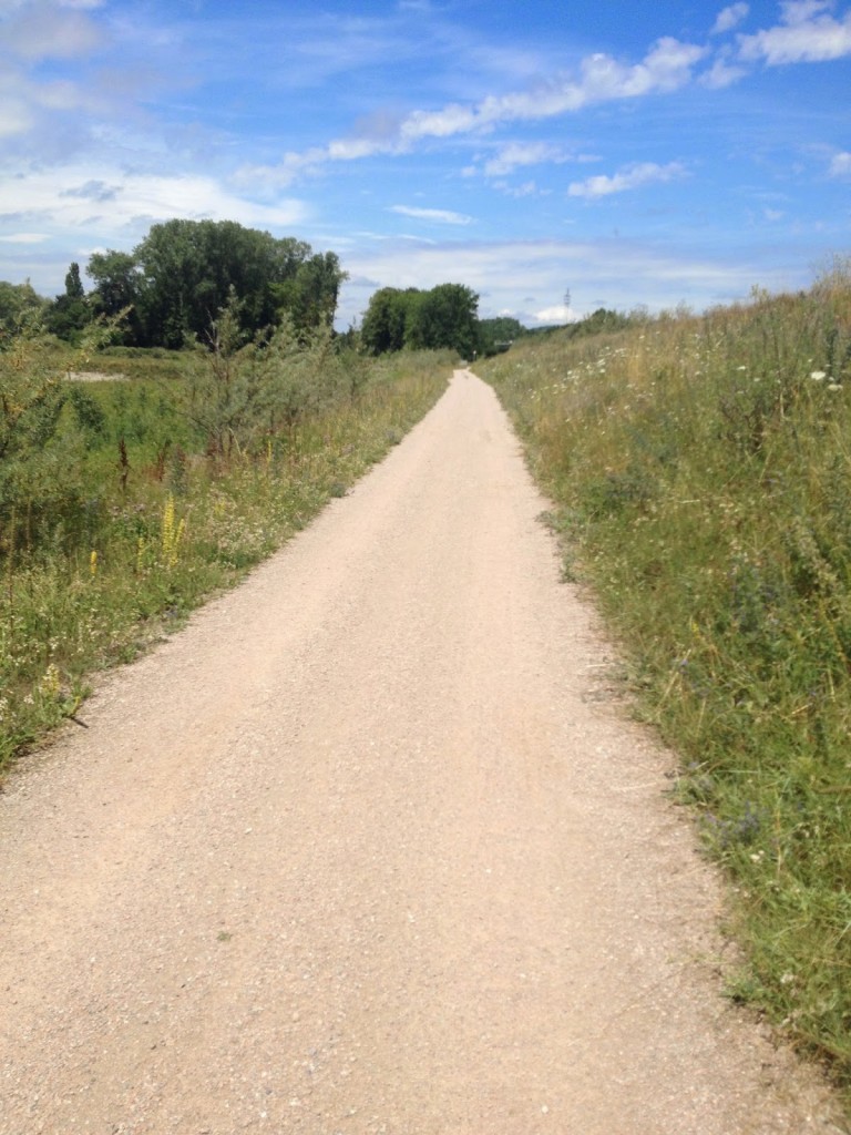
W&OD between Purcellville and Hamilton

Parking was simple near Gallows Road in Dunn Loring. I started with the Airport Loop. At MP 9, I headed east and picked up the Custis Trail which goes along I-66 into Rosslyn. From there I connected to the Mount Vernon Trail which runs past the airport.
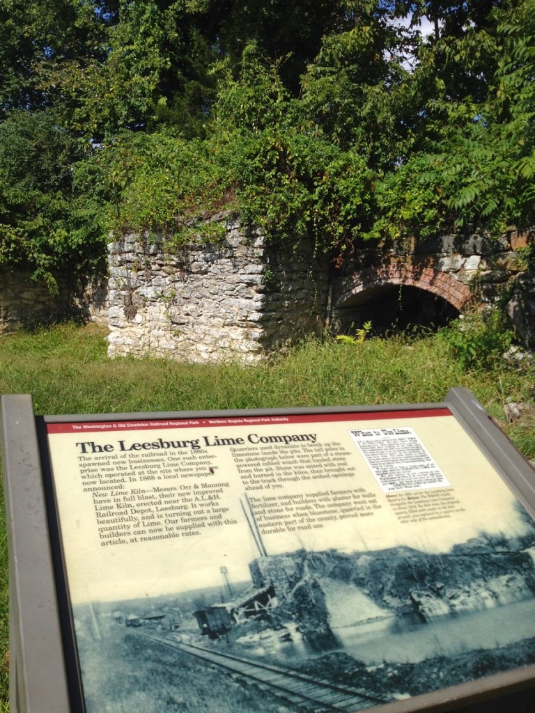
 

Lime Kilns in Leesburg

I was thinking of taking pictures along the way. It was at the end of the Custis Trail or the beginning of the Mount Vernon Trail where I crashed five years ago and broke my wrist and discovered cancer. Then, no more than 1/2 mile further, on the boardwalk was where I crashed July 3 last year and broke my collarbone. This route has not been good to me.
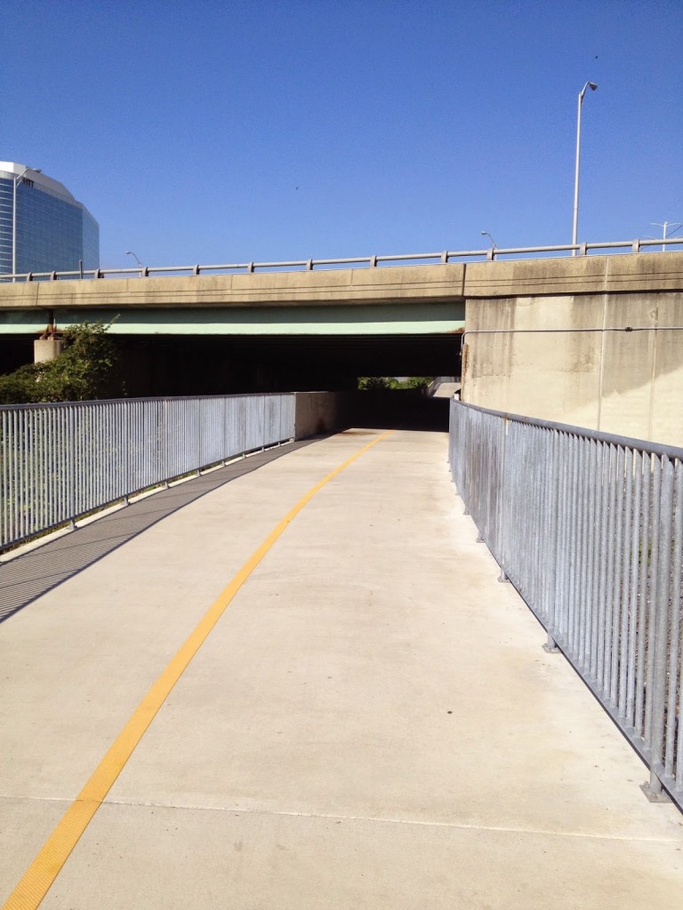
Four Mile Run Trail under I-395 Shirley Highway

The Mount Vernon Trail connects to the Four Mile Run Trail which connects to the beginning/end of the W&OD. Then the first eight miles are uphill. A gradual uphill, mostly, except where a railroad grade is not possible and the trail moves onto or next to a street.
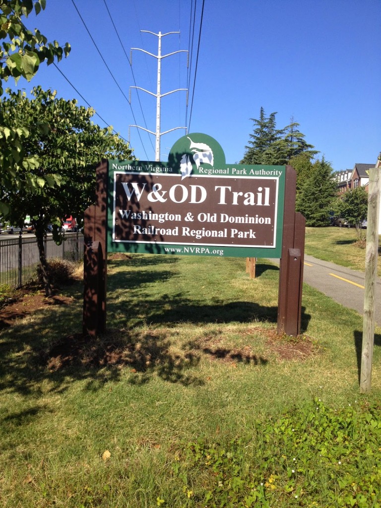
Start/Finish at Shirlington

From Gallows Road through Vienna, Reston, Herndon, out past Dulles through Ashburn to Lessburg, the trail is mostly flat. There are sections of 1-2% grade, either uphill or downhill, in both directions, but I wouldn’t call one direction harder than the other.
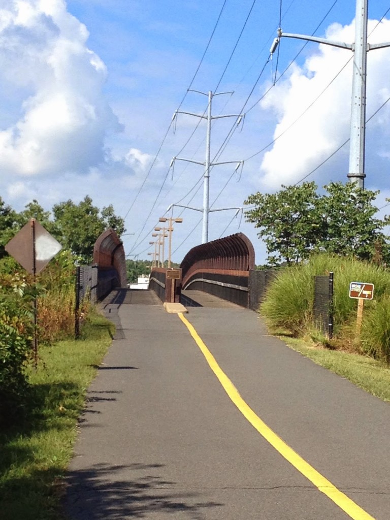
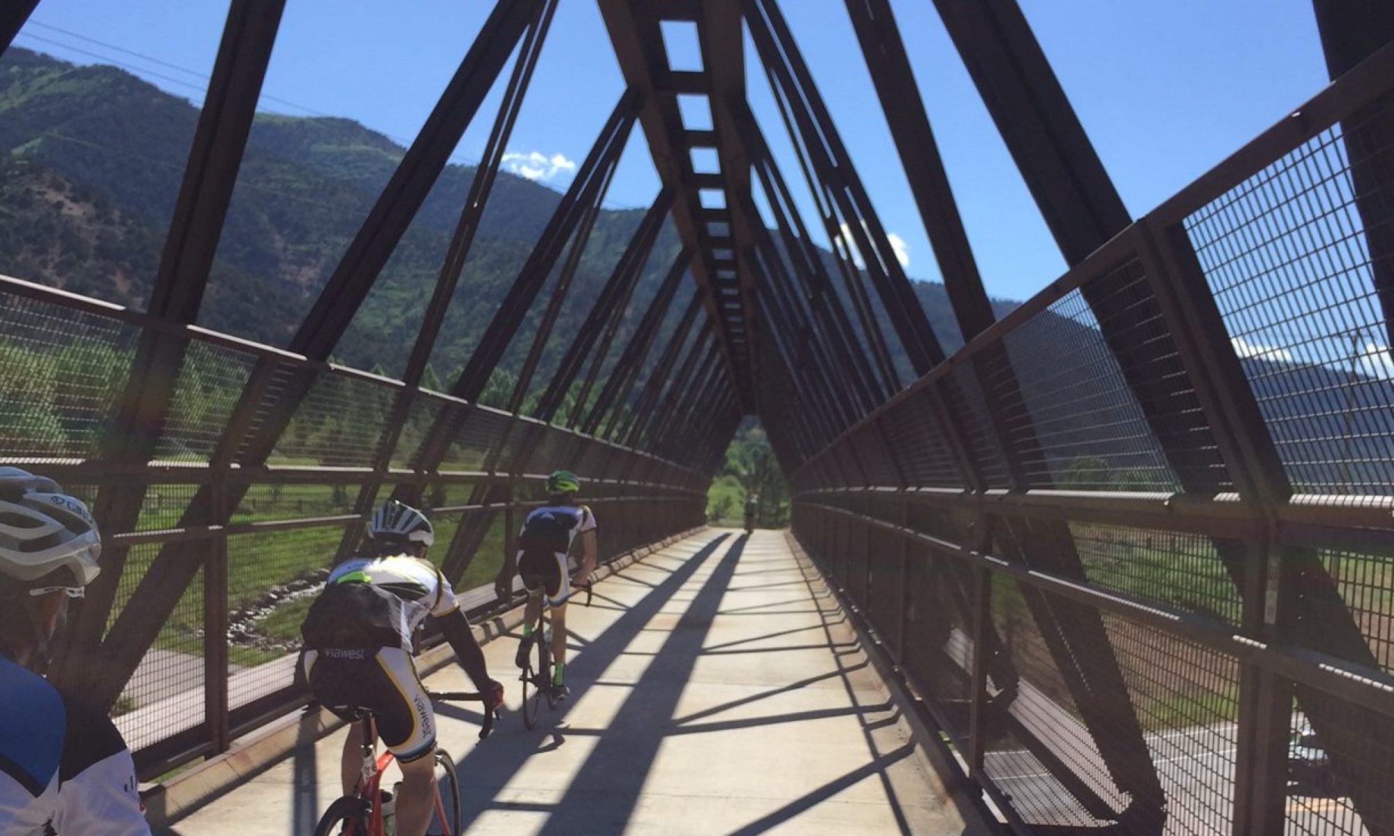
Bridge on W&OD over Rte 7 in Falls Church

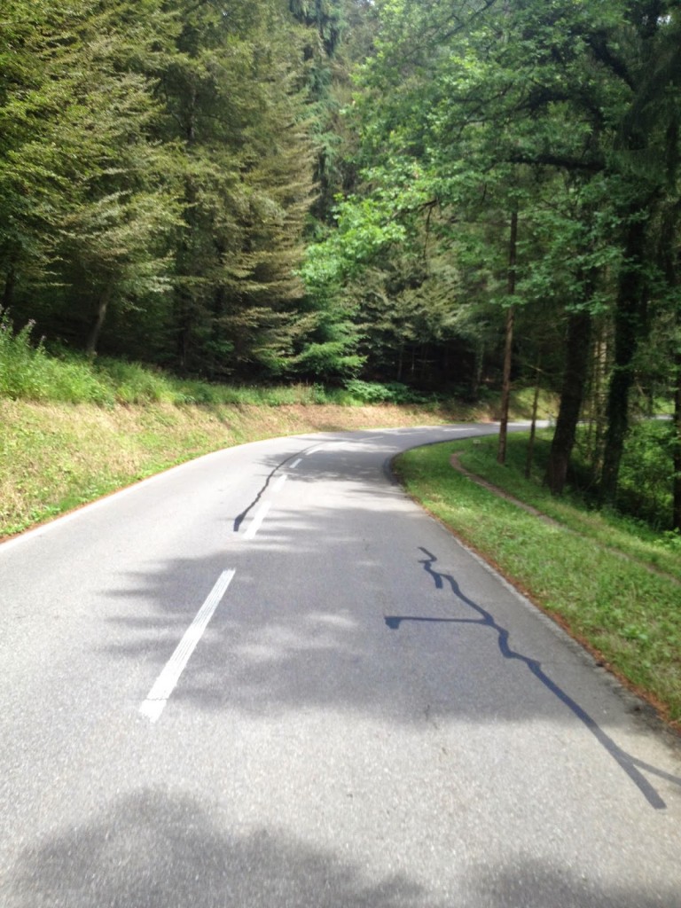
At Leesburg the trail climbs up to Clarkes Gap, through a heavily wooded section which is arguably the nicest on the trail. At Clarkes Gap it goes through Hamilton to Purcellville which is the turnaround point.
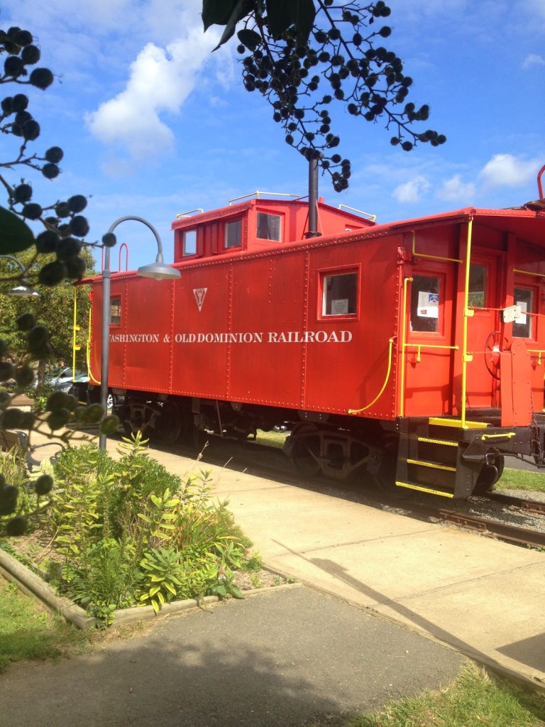
Caboose in Vienna

That is it. I started at MP 9 and did a loop which made it 26 miles. Purcellville was 63 miles and from there it was another 35 miles or so back to the car. I diverted, both ways, to The Bike Lane, at Reston Town Center to say hello to the guys and fill my bottles with water.
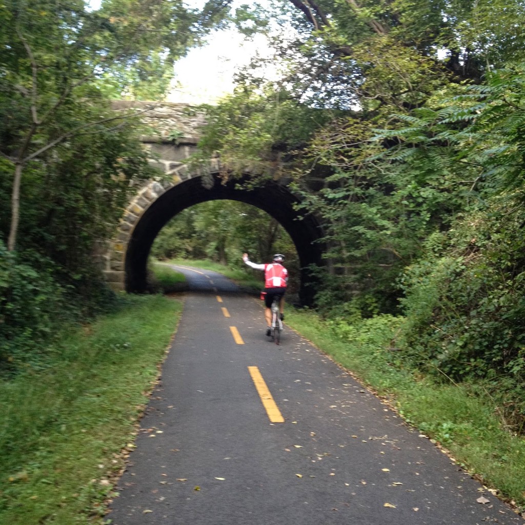
 

Stone Bridge at Clarkes Gap

The W&OD is traffic-free but there are also many intersections with stop signs or even traffic lights (usually very long lights). But if one wants 100 miles on a bike and no traffic – this is it. You are never far from a bike shop or restaurant. In fact, I forgot my saddle bag with tubes and CO2 and never ever worried about it – confident that other riders could help me if need me (I did carry an extra tube so I wasn’t a complete jerk).
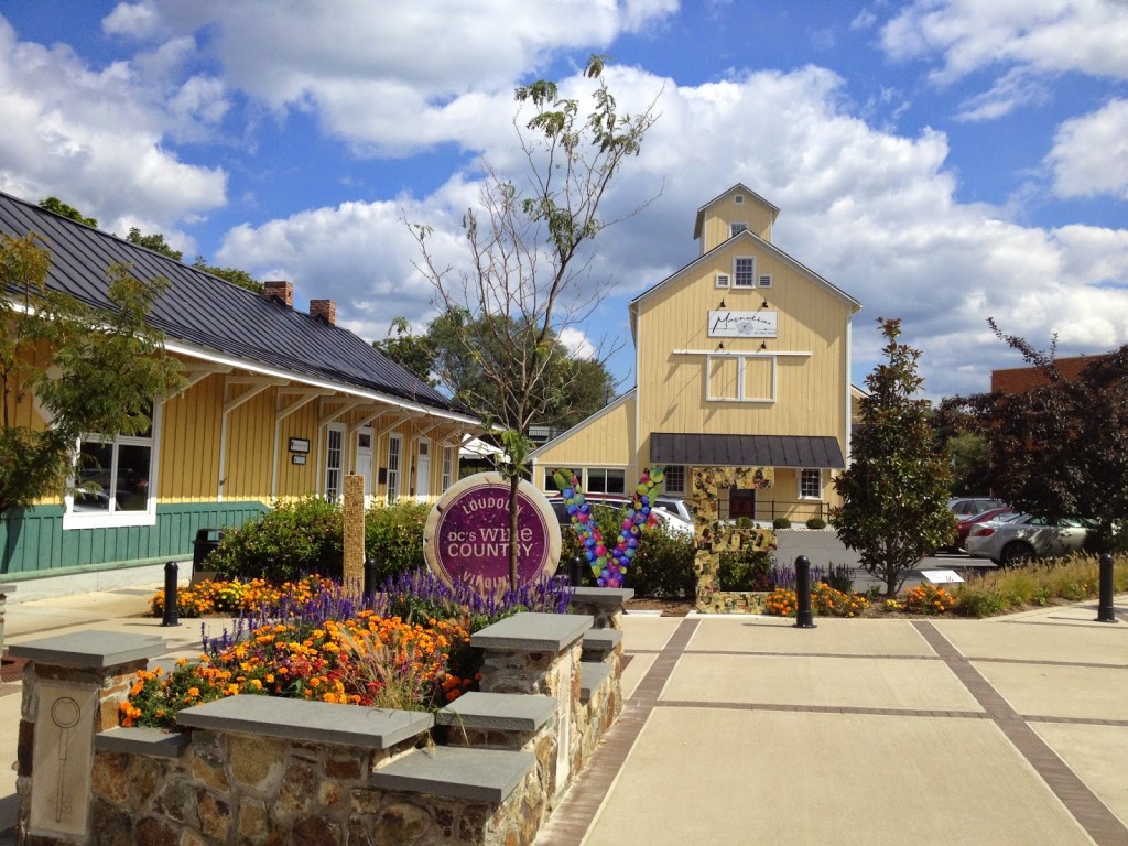
Purcellville, Va.

Last in the Group Ride

HAYMARKET, VIRGINIA

I remember my first group ride. I got dropped. Everyone got dropped. The ride blew up. I finished last. Sometimes that happens.

This was a Potomac Pedalers group ride, rated BB (which is B+, better than B, not quite A). Sometimes, especially when the BB ride is the fastest ride available, some A riders slip in and the speed creeps up. And the ride blows up.

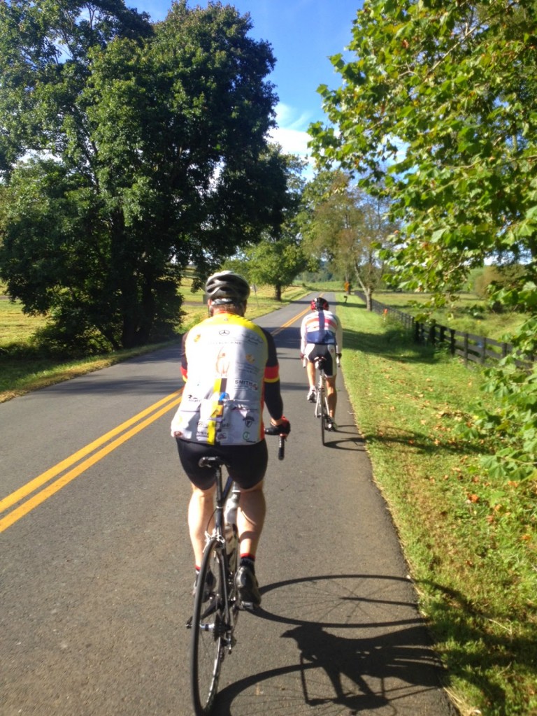
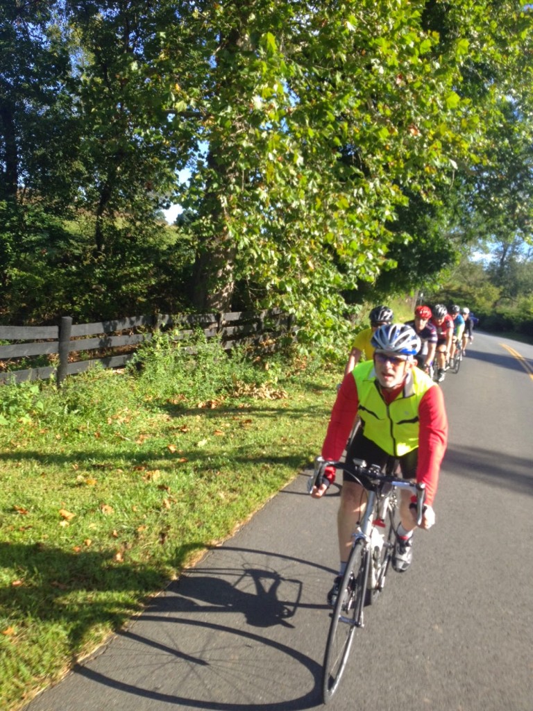
There were 15 of us at start but someone mentioned a second group was following at a CC pace. So eight of us rolled out at a BB pace. It was a beautiful early Fall day although it is still summer.

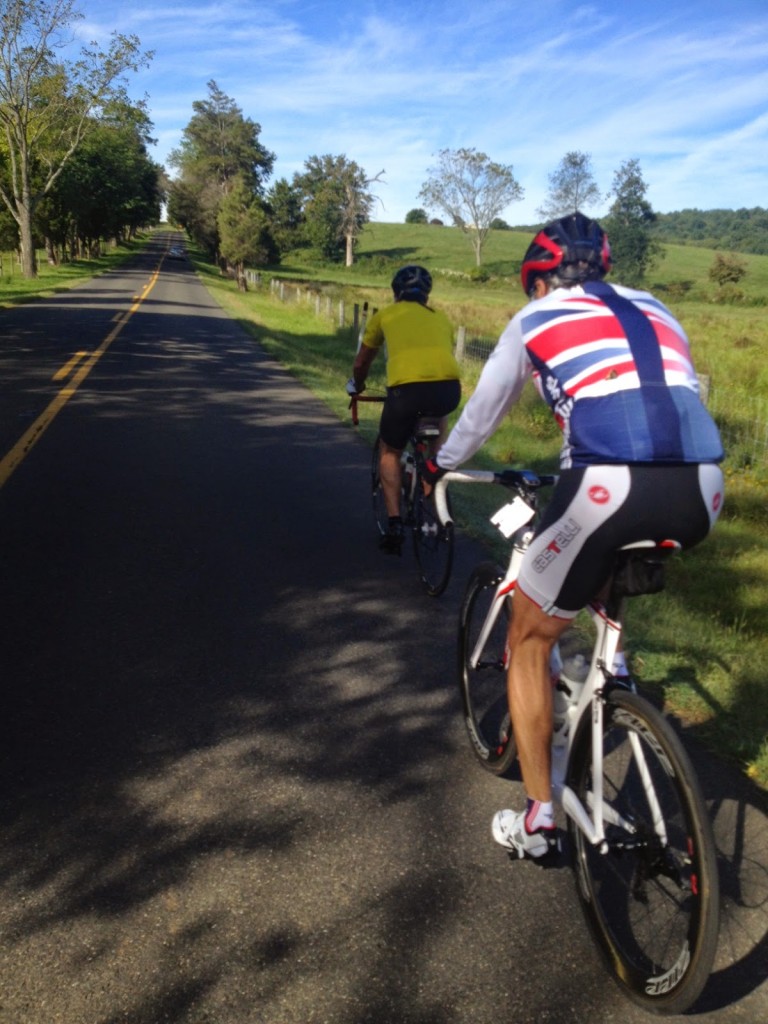
This was the three of us

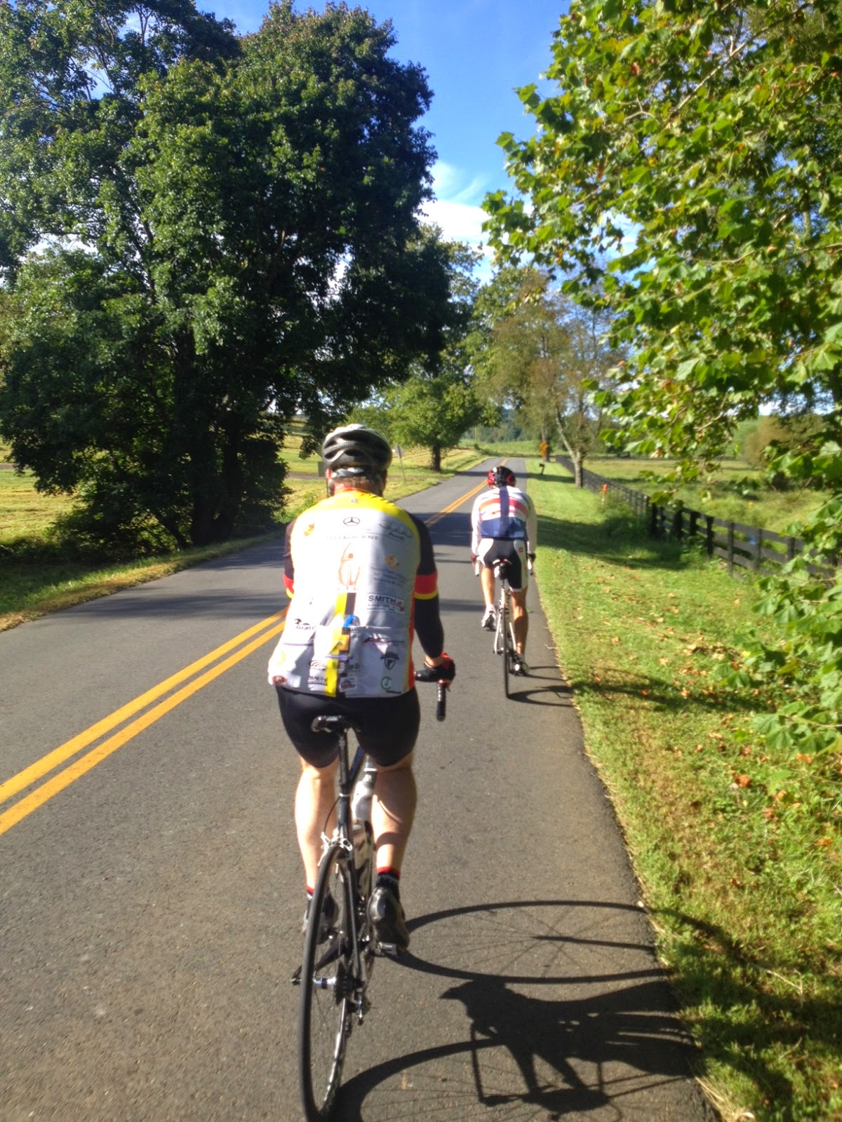
As we rode there were three of us who stayed together on the climbs while the other five dropped back. Still, we tried to soft pedal on the flats to keep everyone together.

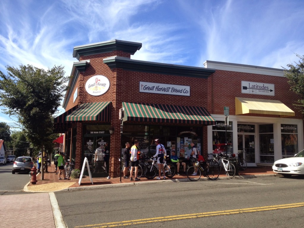
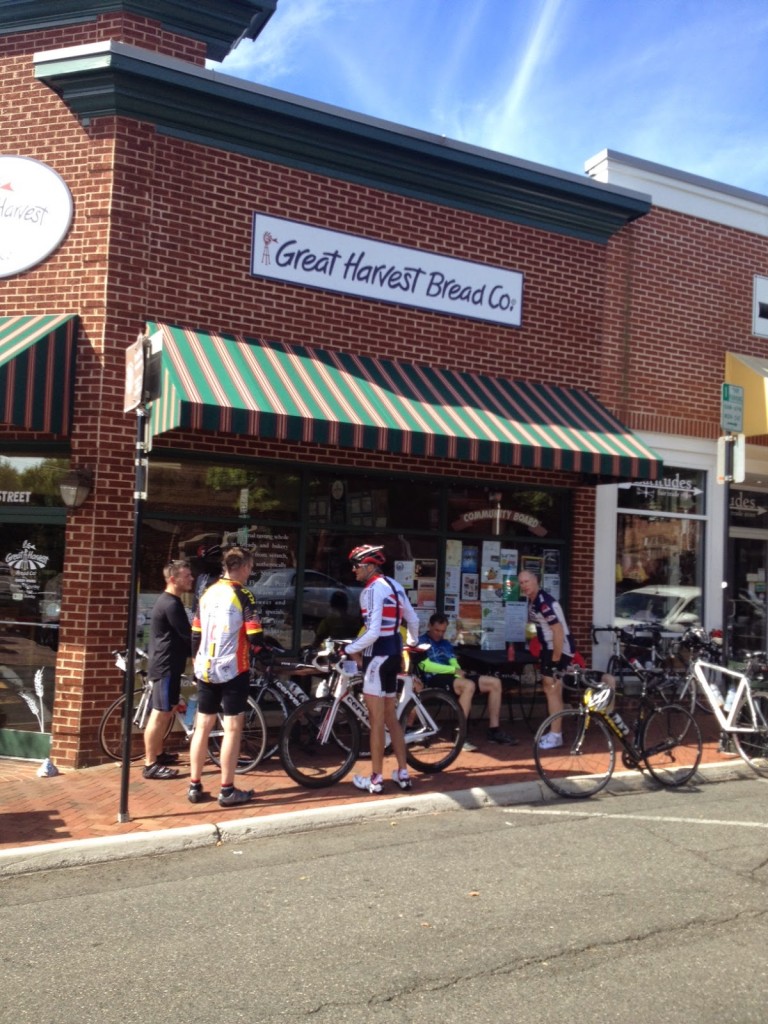
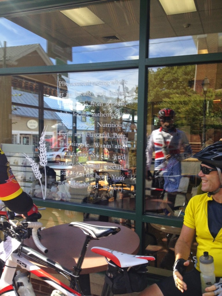
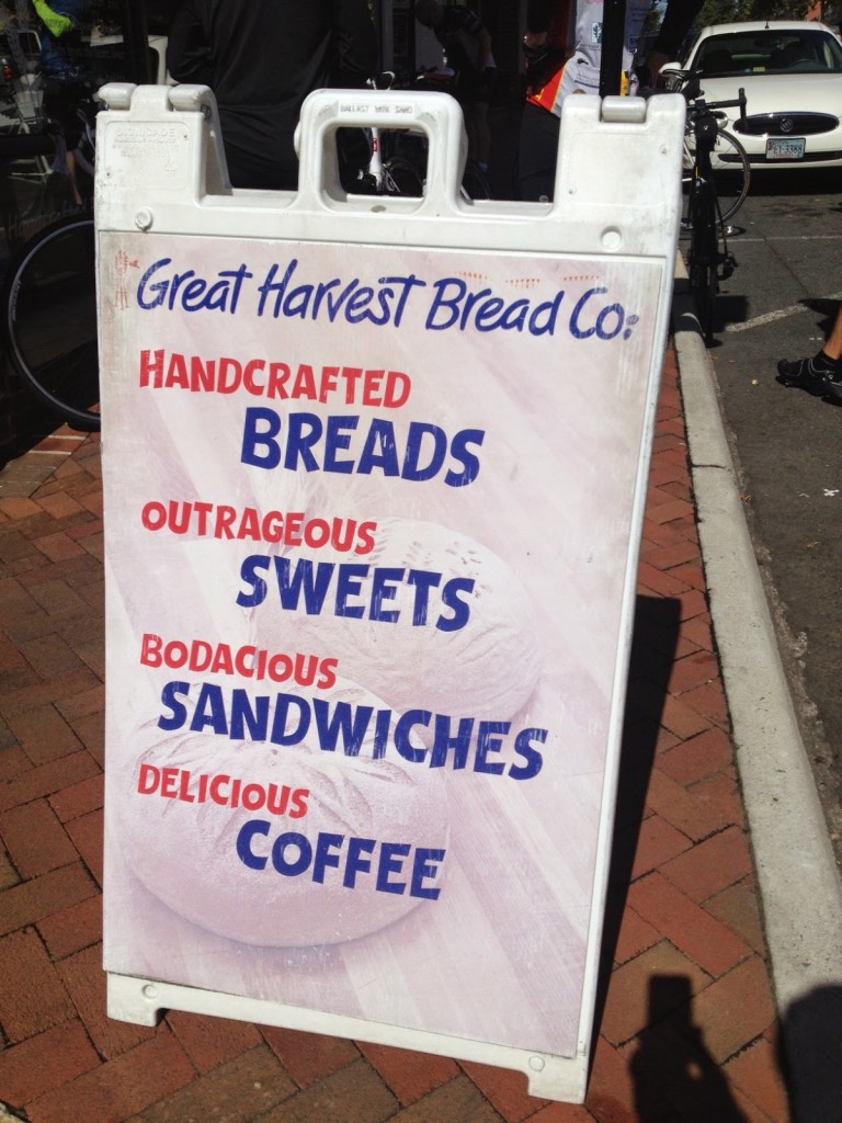
We stopped in Warrenton at the Great Harvest Bread Co. I had been talking to a rider, John, who was an XTERRA rider and knew Scott Scudamore. It was good to reminisce about Scott. As we rolled out of town three riders moved to the front and I was on the back. A 100 yard gap opened up so I left my position as 8th wheel and bridged up to the lead group.

Three of us, and I don’t know their names, rode ahead of the others but stayed, and worked together. As we approached Marshall we sat up, no, we stopped, and waited for the other five.

One guy I really like was from Great Britain. I will call him Mick because it sounds British. He had brought a friend, who was on just his fourth ride. Mick’s friend was a spin instructor but this ride, with its rolling hills, was too much for him. Mick asked me if he should double back and ride with him. I told him that, yes, WE should.

And it was then I had the realization. Even though I had been in the front group of three, this was a ride, not a race – why be in a hurry to be first in a group ride (I know, I have before. Sigh). We doubled back.

As the group went ahead we came back to Rte 55 near The Plains. Mick asked which way and I told him right. Then I pointed to the rider up the road about 1/2 mile. Mick said “let’s catch him.”

Mick started out and I was tight on his wheel. Then I passed him to take my turn. We closed the gap in no time. That was fun.

We headed on the back roads to Antioch Road. Here it trends downhill and Mick left his friend behind for good. I doubled back. I rode with Mick’s friend to the end for which he expressed many thanks.

I could have had a higher averaged speed (17 mph). But it was fun being on a group ride and actually being part of a group. Even if I finished last.

Civil War Bailout

THURMONT, MARYLAND

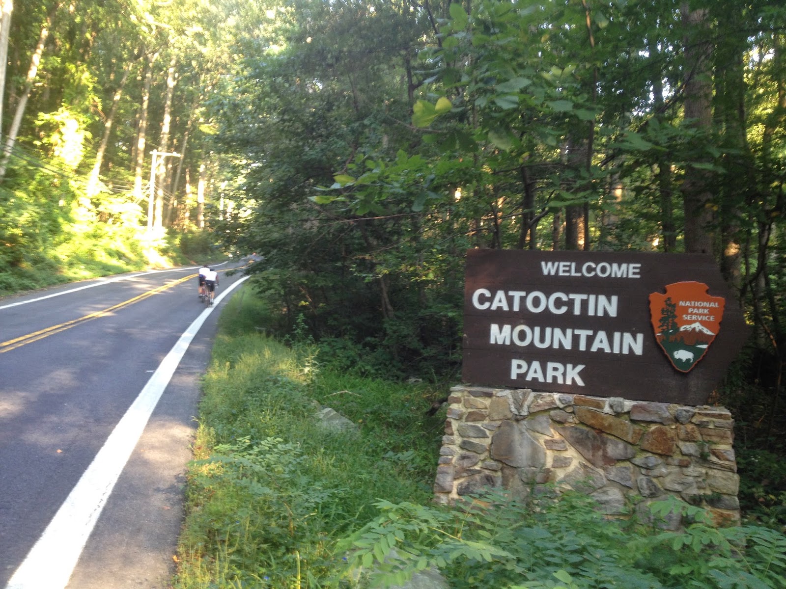
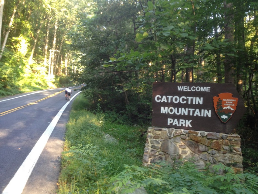
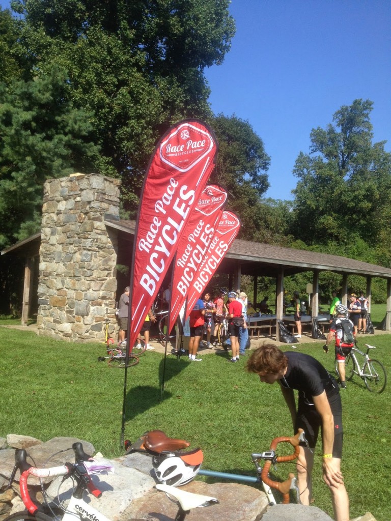
It was hot. And I was worried. Last year I cramped by Mile 9. I did go out hard last year and posted my best time on the seven mile “warmup” climb from Thurmont up through the Catoctin Mountains. But today it was already humid and I wanted to pedal slowly.

It worked. By worked I mean I posted my worst time of six efforts. Although it was only 53 seconds slower than three years ago when I must have tried to go hard. But I didn’t cramp so I was pleased and thought I was on a good day.

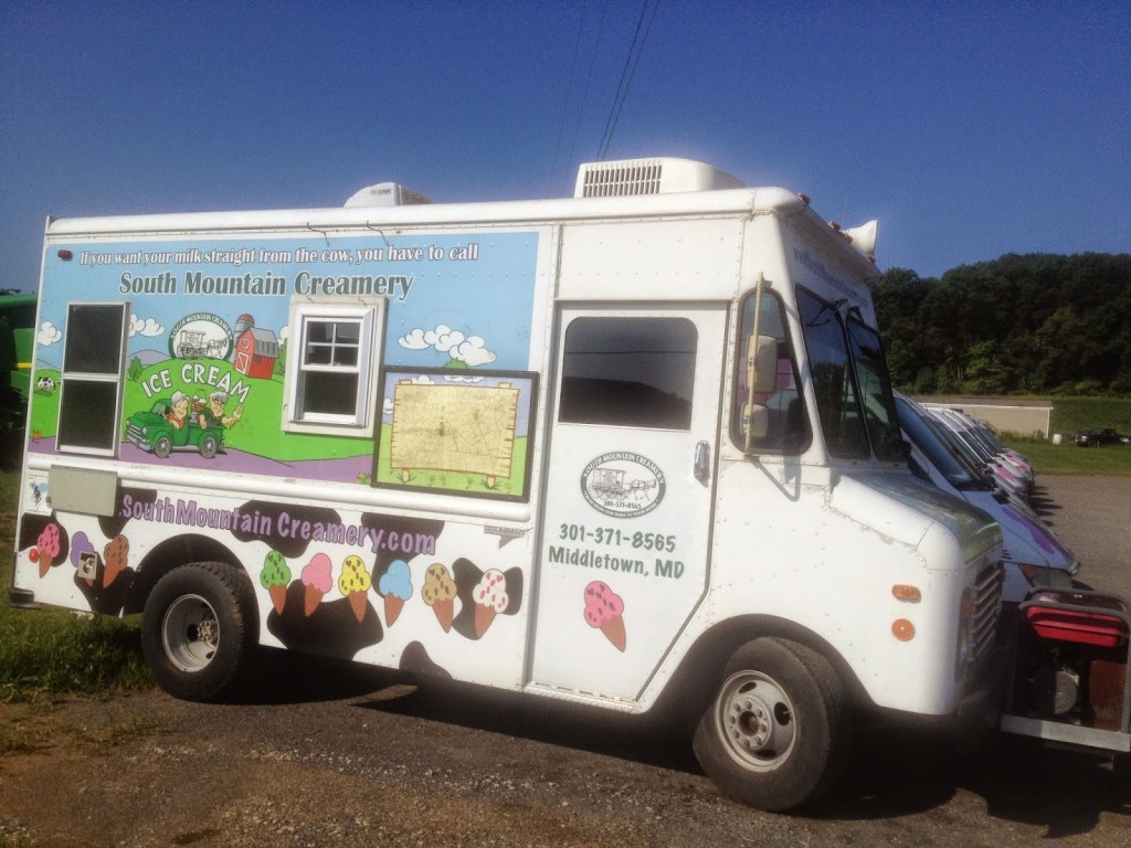
South Mountain Creamery

On course I came to the unmarked hill where I have hit 50 on the descent. I held some back and only hit 48.3 mph. I’m never quite sure I’m on the right descent until it’s too late.

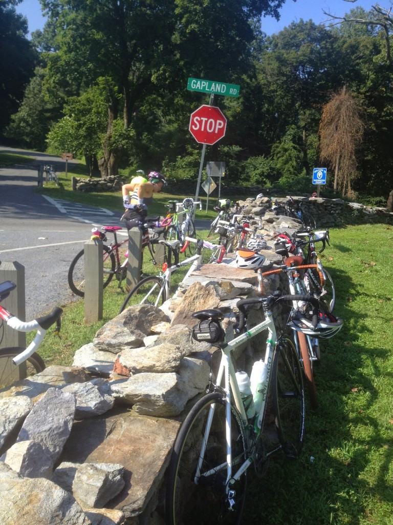
Rest Stop at Gapland on South Mountain

New this year was a reroute which took us up a challenging little climb. It was on Mt. Tabor Road just beyond Myersville, which we did not ride this year. It was a little more than 1/4 mile but much was at 14% grade. That was quite a surprise. I had been side by side with a rider from California who complained about “east coast roads.” I never saw him again once we started climbing. He quickly fell off the back.

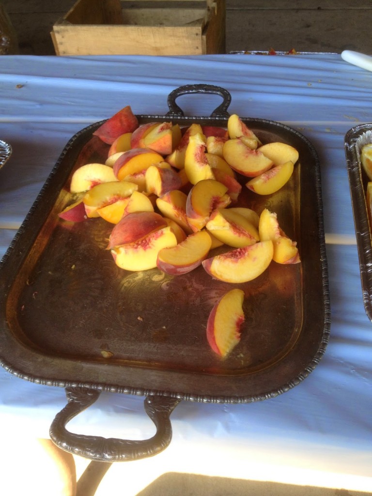
Peaches – Fresh Peaches

It was a different route this year. Some of it was due to construction including the tarring (and chipping) of some roads which makes for messy bikes. And some of it was rerouted because communities complained – I am assuming Myersville and Boonesboro – two towns the route historically has gone through but today did not.


Rest Stop at Gapland

After the first rest area on South Mountain the Burnside Bridge Road was closed and we went up Porterstown Road instead. This climb was just nasty. Hot and humid, there were sections at 17% grade. It took us just past the battlefield at Antietam which was not on course this year due to road construction on the Burnside Bridge Road.

Near Boonesboro, Maryland

Arriving at the second rest stop I filled my bottles and drank one on the spot. And promptly filled it again. I was going through water faster than I could replenish it. I was out of water by the first rest stop, out by the second, and just could not keep enough on the bike.

One of the volunteers looked at me and said “today, you’d be best to take the bailout.” It’s hard enough fighting those voices from within but when a volunteer tells you to bail out I have to admit it became a thought.

The neat thing about this ride is the full century ride features a “bailout” option at Blue Ridge Summit, Pa. If after 65 miles of riding you’re just not feeling it, or you are dehydrating, or storms are coming, one can descend nine miles back to the start in Thurmont.


At the rest stop I heard some riders talking about the bailout and they checked the maps. On the climb one could go up a shaded road or out in the sun. I’ve done both. As I rode up Raven Rock Road I came to the turn to Richie Road. There must have been 10-15 riders there contemplating which way to go. Some were already going straight, which, IMHO, is not where they wanted to go. Richie Road is shaded and it’s the same climb up the same ridge.

Thunder and Lightning – Storms moving in

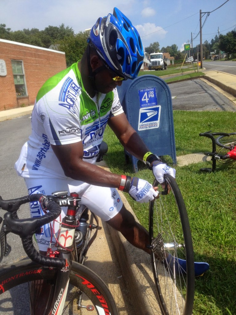
Up and over the top, the last major climb of the day, I descended to Fort Ritchie and Blue Ridge Summit, Pa. I saw a man changing a tire and went back to “help” (really, I was just curious – I wasn’t really going to help). It was my friend, Sean Walker. I was hoping to see him today and now got to ride with him.

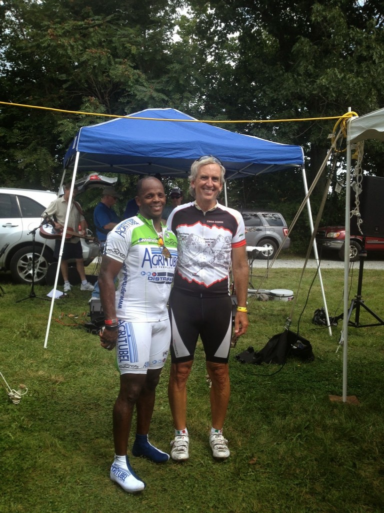
Sean Walker

Sean had been coaching a client and we were talking about the heat. I was already out of water and the next stop would be another 15 miles in Fairfield, Pa. He suggested the bailout. Had he been riding to Gettysburg, I would have too, but there’s strength in numbers. Sean took the bailout and I started to head to Gettysburg. I had been lifted by an adrenaline rush from seeing him. But it wore off and I realized I would be suffering for no good reason. I find the alternative bailout route.

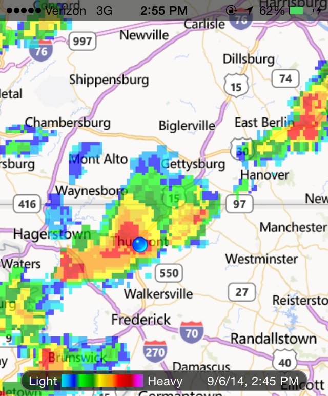
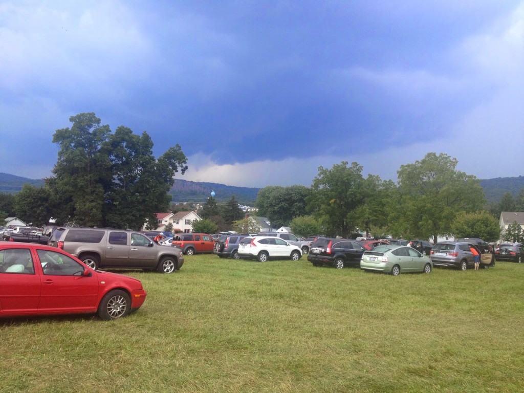
Back in Thurmont, we got our ice cream and watched the storms roll in. They were pretty strong. We were thankful we made the right decision, heat or not. And very thankful not to be caught in the storms.


It’s not often I make good decisions on the bike. I am willing to finish, no matter what. So it’s hard to make a decision not to finish. But many were caught in bad storms plus I was on my brand new bike and wasn’t ready to subject it to bad weather. Not yet. So maybe if it wasn’t about me today, it was about the bike.

T-Town Turnpike

TREXLERTOWN, PENNSYLVANIA

Well, it’s not really the Trexlertown Turnpike. I began the day hoping that my sister, Betsy, and I would take our dad to the Great Allegheny Passage at Rockwood and ride about 12 miles to Fort Hill. But he said he was too tired to ride (he is 85) and I had kept him out late past midnight at the Pittsburgh Steelers’ game.

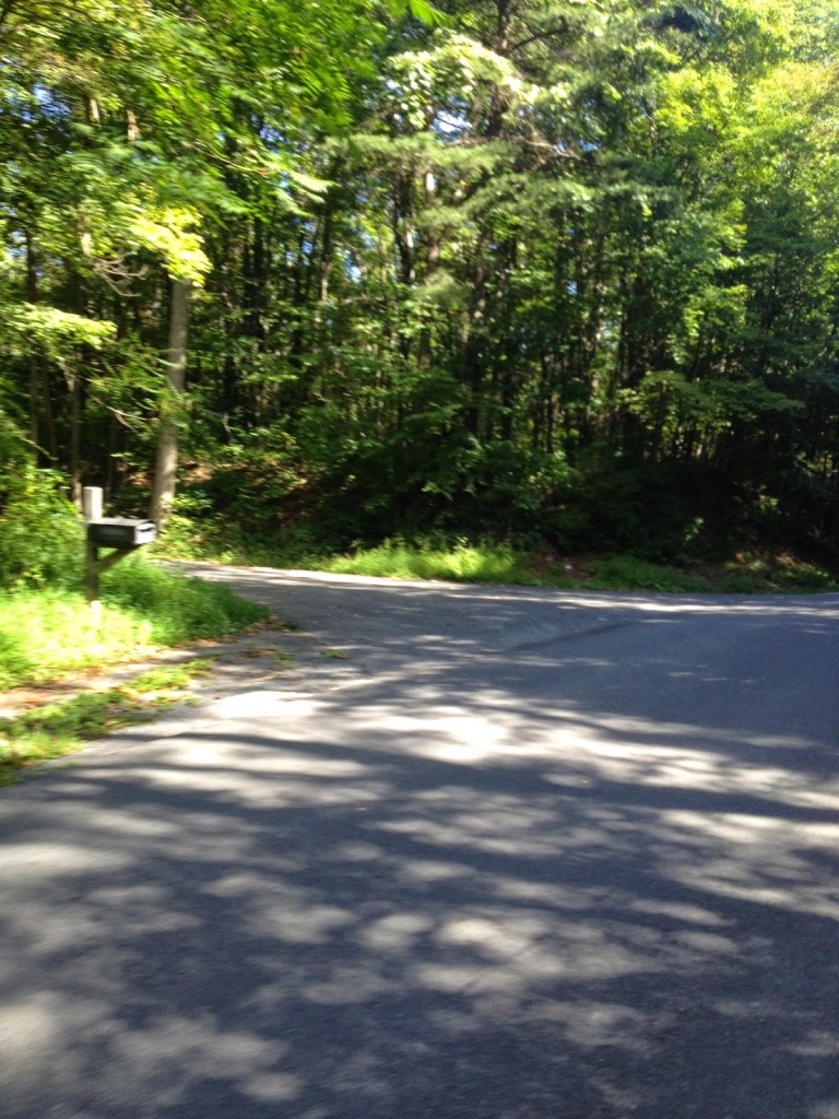
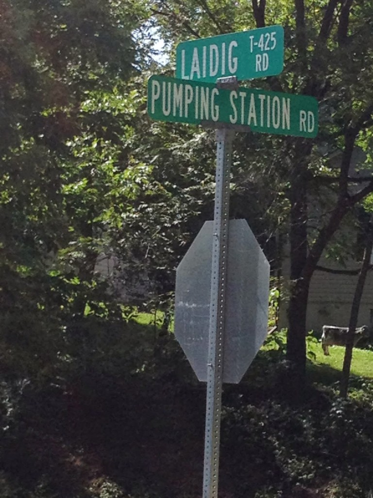
Pumping Station Road Entrance

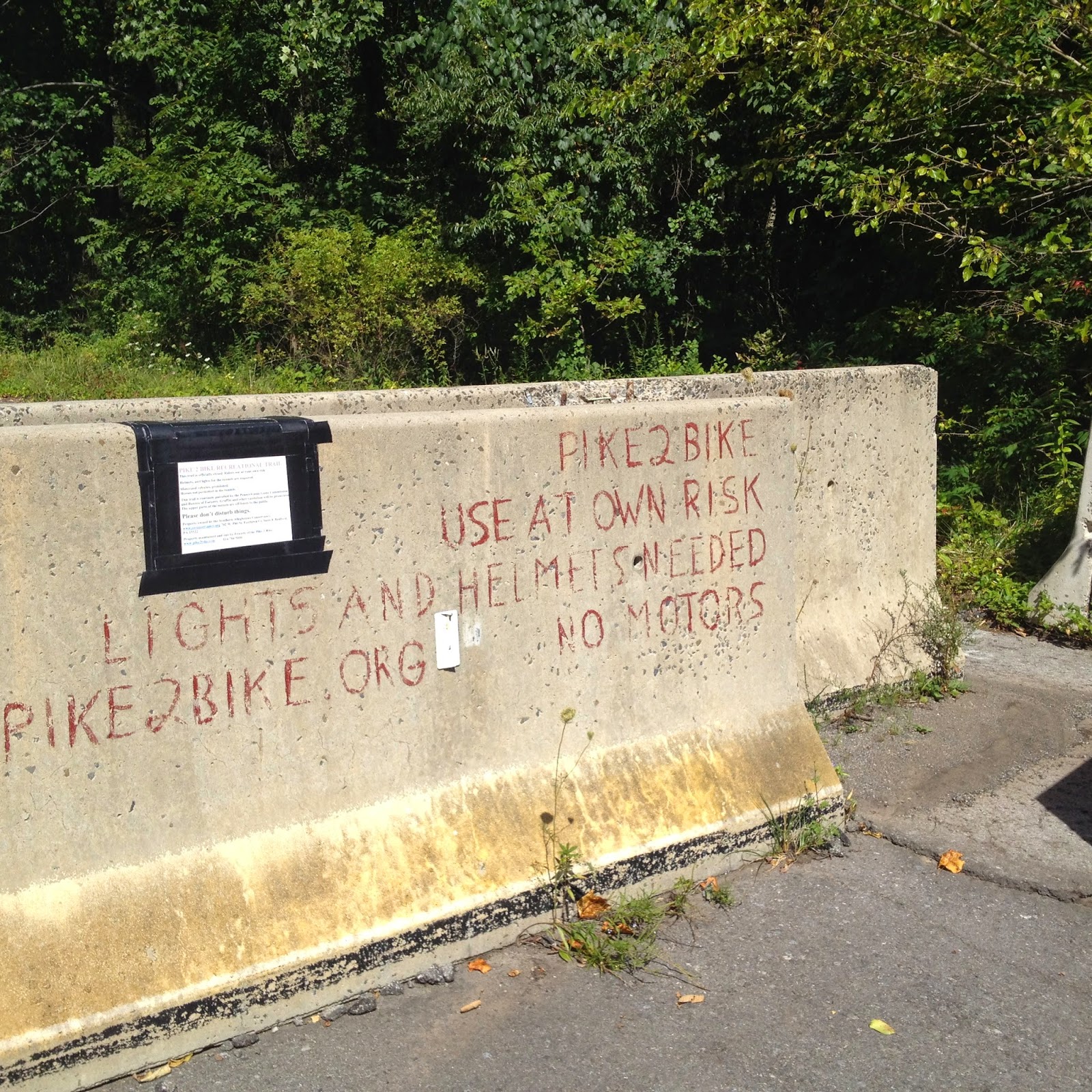
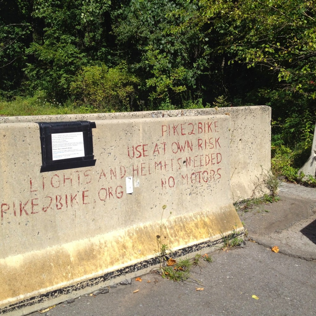
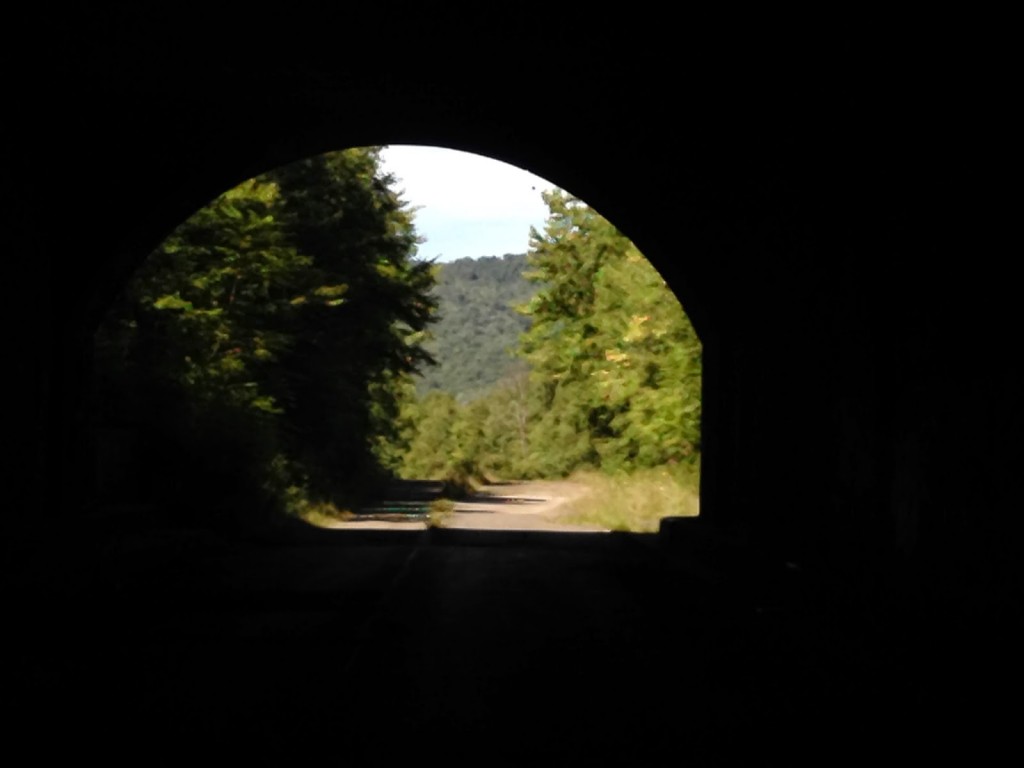
Betsy previously had expressed interest in riding the Abandoned Turnpike at Breezewood. Fresh off buying lights for her bike last week at the 25 Hours of Booty, we both drove to Breezewood. 

Entrance off Pumping Station Road
It is not marked

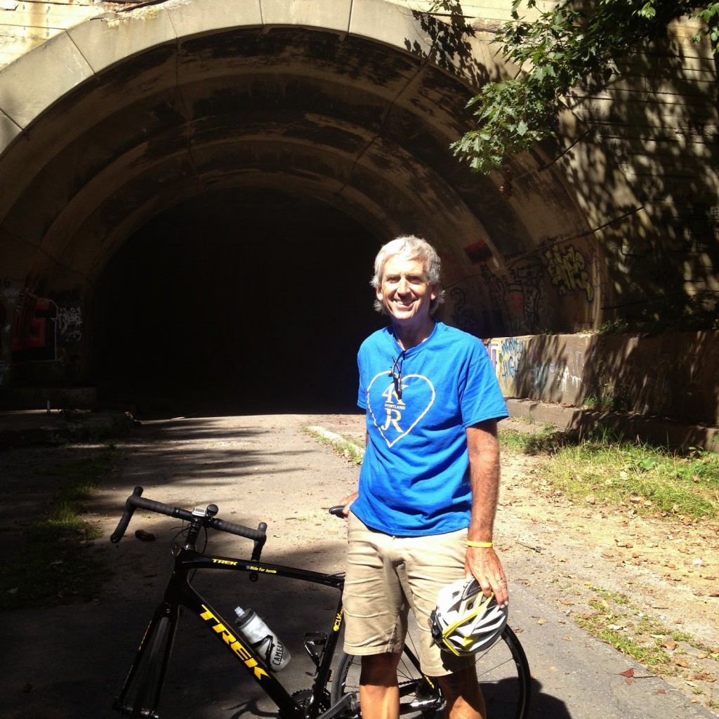
I had my Trek Domane and a Trek MTB with me. The pavement on the Pike2Bike ranges from average to poor, with a lot of poor. All things being equal, I would choose a mountain bike over a road bike but it’s not bad on a road bike. It’s just better on fatter tires. However, since I had both with me it meant I had to leave one in the car so I chose to leave the MTB in the car instead of the road bike.

Entrance off Pumping Station Road

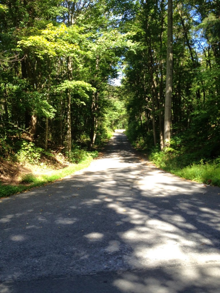
Entering from Breezewood, and after climbing the steep trail up to the start, you have your choice of four lanes of pavement, although it is often hard to tell. You start out in the left “lane” – that is where the entrance puts you. My experience is to ride the left lane to the Rays Hill (first) Tunnel. After exiting the tunnel, ride the left lane for a couple of miles but then switch over to the right lane before reaching the Sideling Hill (second) tunnel. After exiting the second tunnel, stay left. These are my suggestions only and know and there is no perfect line to follow.

Eastern entrance to Sideling Hill (second) Tunnel

I flatted after exiting the Sideling Hill Tunnel. I couldn’t find any glass in the tire but there is a little bit of glass on the trail. I think it was probably a pinch flat from the rough pavement.

Closest intersection to Pike 2 Bike

Once out at the far end, we rode another mile just to see where the roads lead. Then we 
turned around and went back.

Exit of Sideling Hill Tunnel, looking west

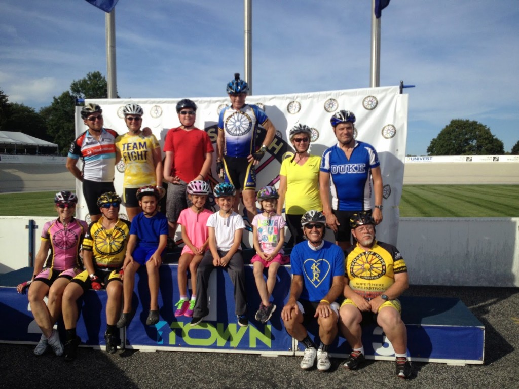
After our ride I drove to Trexlertown. The last couple of years, the cancer support group, Spokes of Hope, was at Trexlertown to honor pediatric cancer survivors. This year, the invitation did not come until Wednesday, so we scrambled to get participants, both big and small.

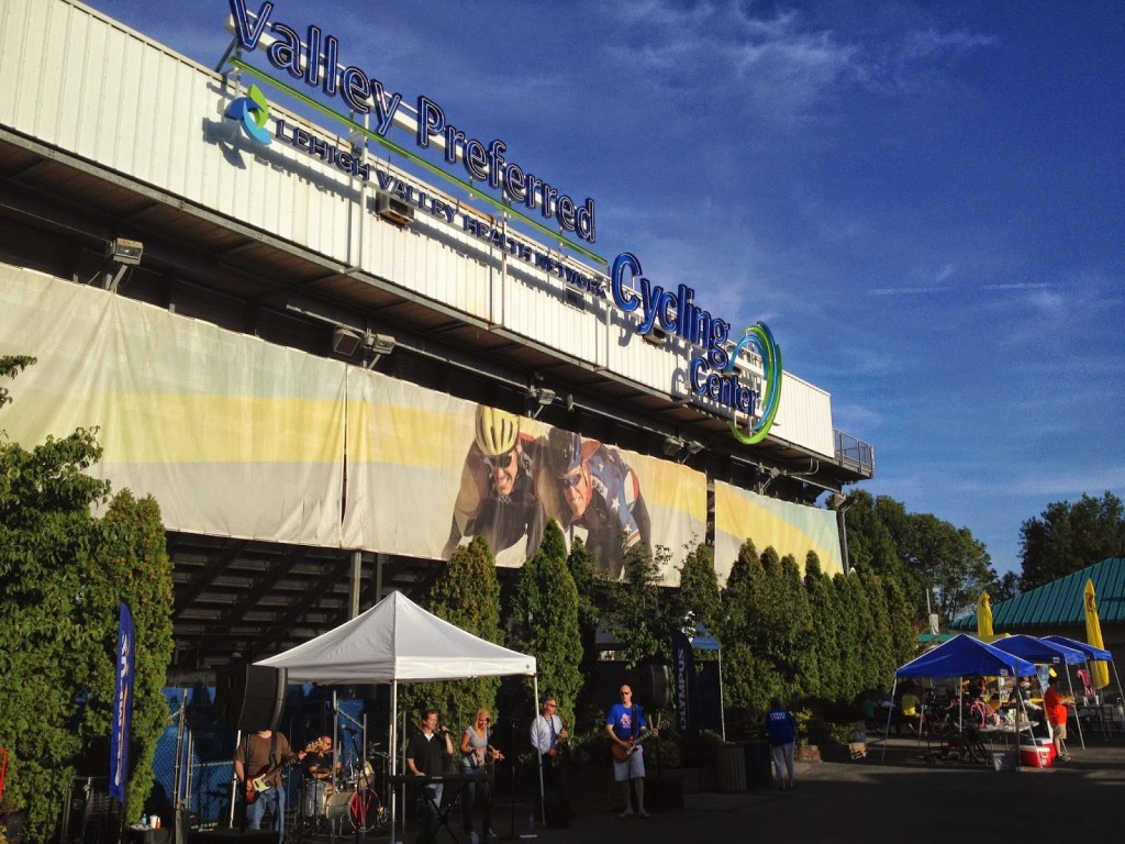
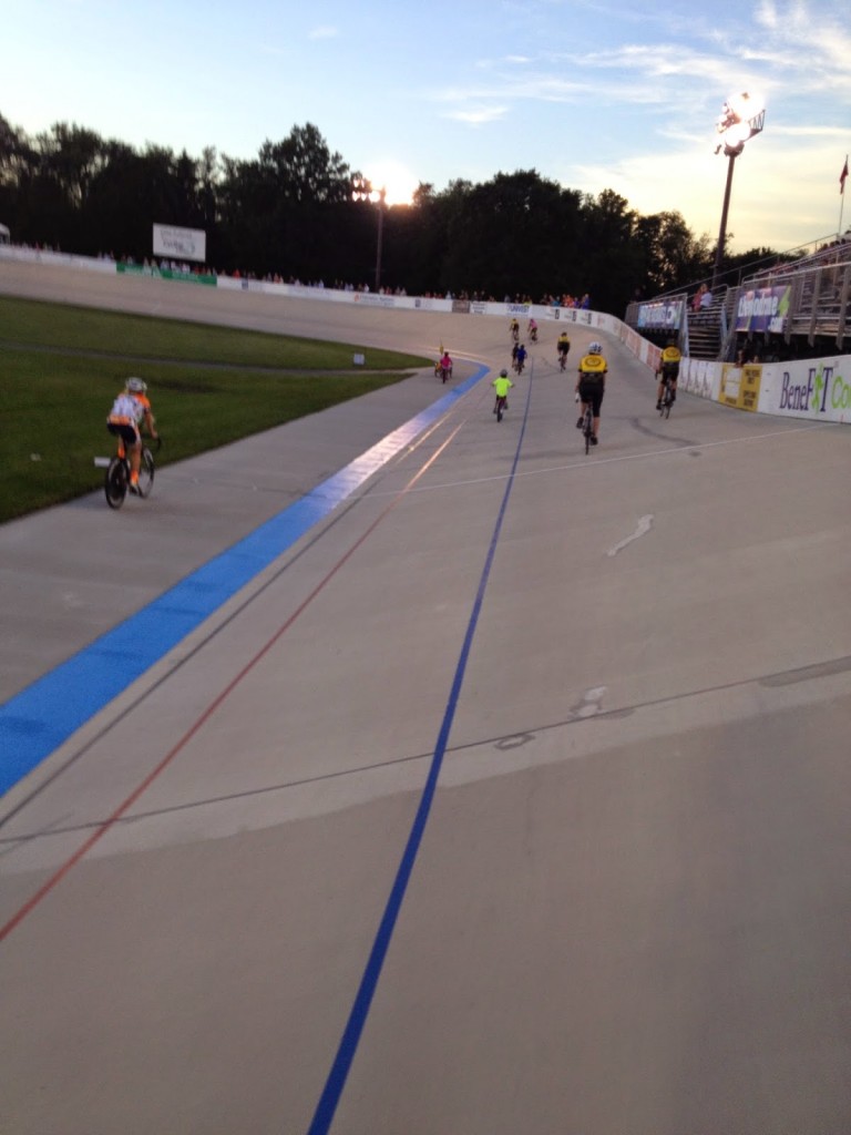
Valley Preferred Velodrome
Trexlertown, Pa.

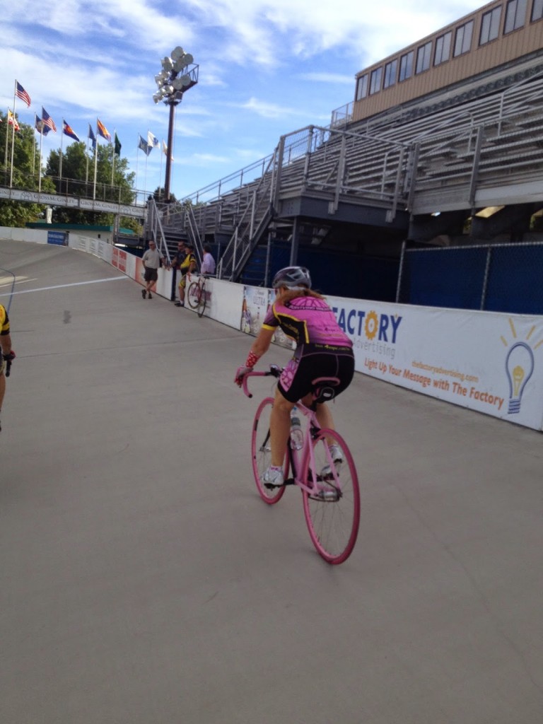
I arrived at 3:30, we took some practice rides on the track at 4:00 p.m., coached by Cindi Hart. The kids stayed down (on the track). The grownups stayed up. Cindi ran us through some drills but in the end I think it was just the two of us.

Cindi Hart

After the practice ride I went on to over to the Bob Rodale fitness track. Three lanes: slow bikes on left, roller bladers in the middle, fast bikes on the right. What a great track to ride.

Cancer Survivors and Warriors

At 7:00 p.m. (scheduled) or 7:15 or 7:20 (actual) we were introduced to the crowd at the Valley Preferred Velodrome. We took 3-4 laps and the crowd cheered the entire time for the survivors and cancer warriors. It warmed my heart.

The races are a blast to watch, especially the Madison where teammates take turns and sling their partners ahead when they make the exchange. The German-Austrian duo of Marcel Kalz and Andreas Graf killed the field, lapping them in both the 50 and 100 lap races although American and local favorite, Bobby Lea, was not there.

Josh Grecco

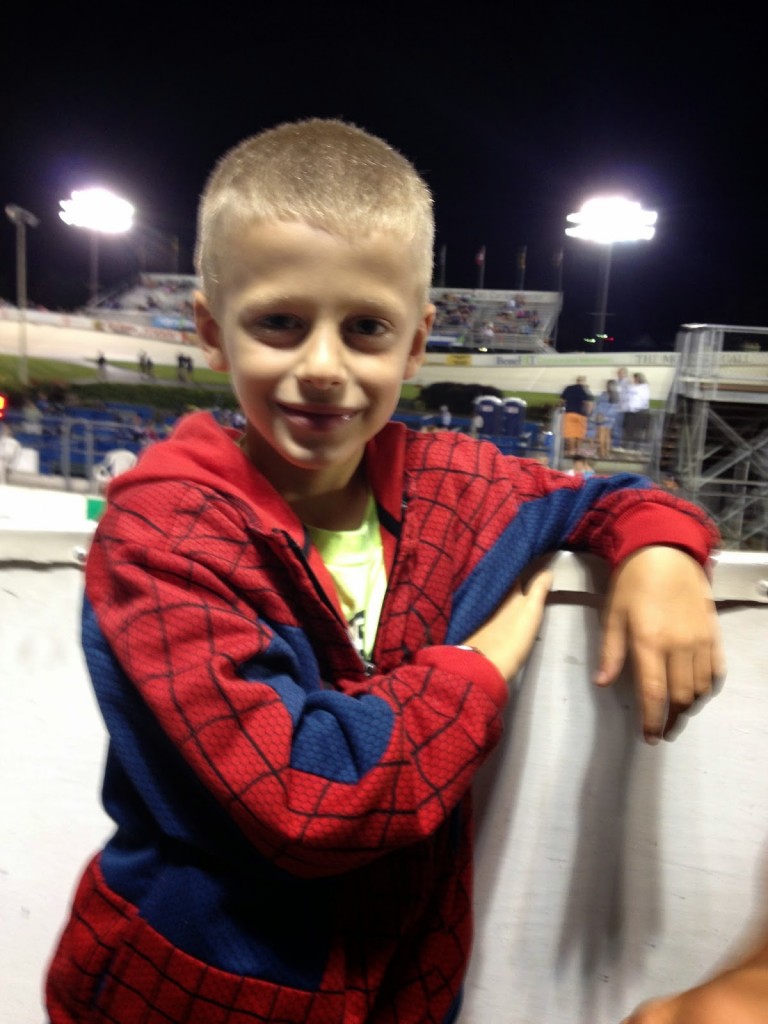
My dear cousins, Stacey and Gary Gravina, came over from Phillipsburg, New Jersey to see me (or maybe just see the races). It was so great to see them and their boys.

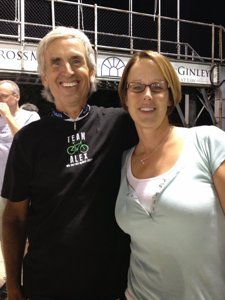
Barry and Stacey

Abandoned tunnels in western Pa., velodrome in eastern Pa. – I’d say it was a good day.

Home Sweet Home

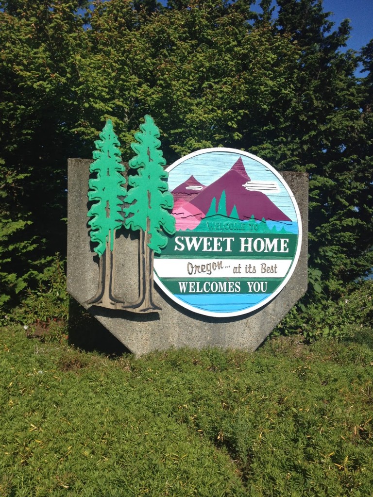
SWEET HOME, OREGON

This ride was simple. Find someone’s ride on RidewithGPS.com. Download it to my Garmin. Follow it. Improvise at will.

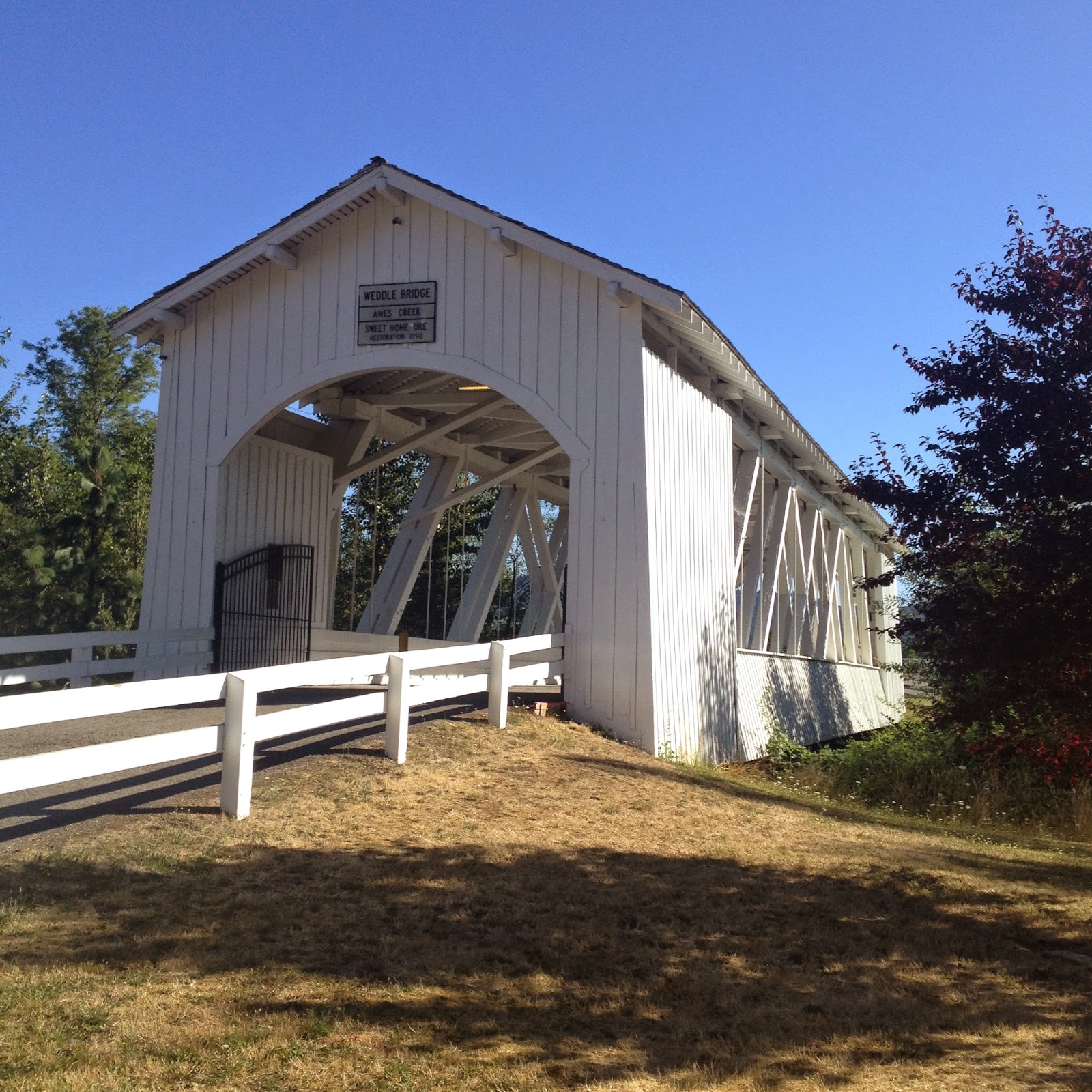
I am as Pennsylvanian as they come with all my ancestors of at least five generations having been born in Pennsylvania. With one exception. My grandmother, Ruth Ann (States) Lowmaster was born in Oregon. Sweet Home, Oregon. Her dad, John T. States, was a lumberman in Indiana Co., Pa., in the early 1900s. He and two brothers went to Oregon as did the family of Mae Bartlebaugh, who was probably then 15 (when she moved).

While in Oregon, they met, married, and in 1907 my grandmother was born. Family tragedy would bring them back to Pennsylvania by 1911 and my grandmother never returned to Oregon to see where she lived, a disappointment she carried with her.

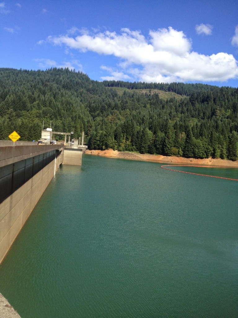
Dam at Green Peter Lake

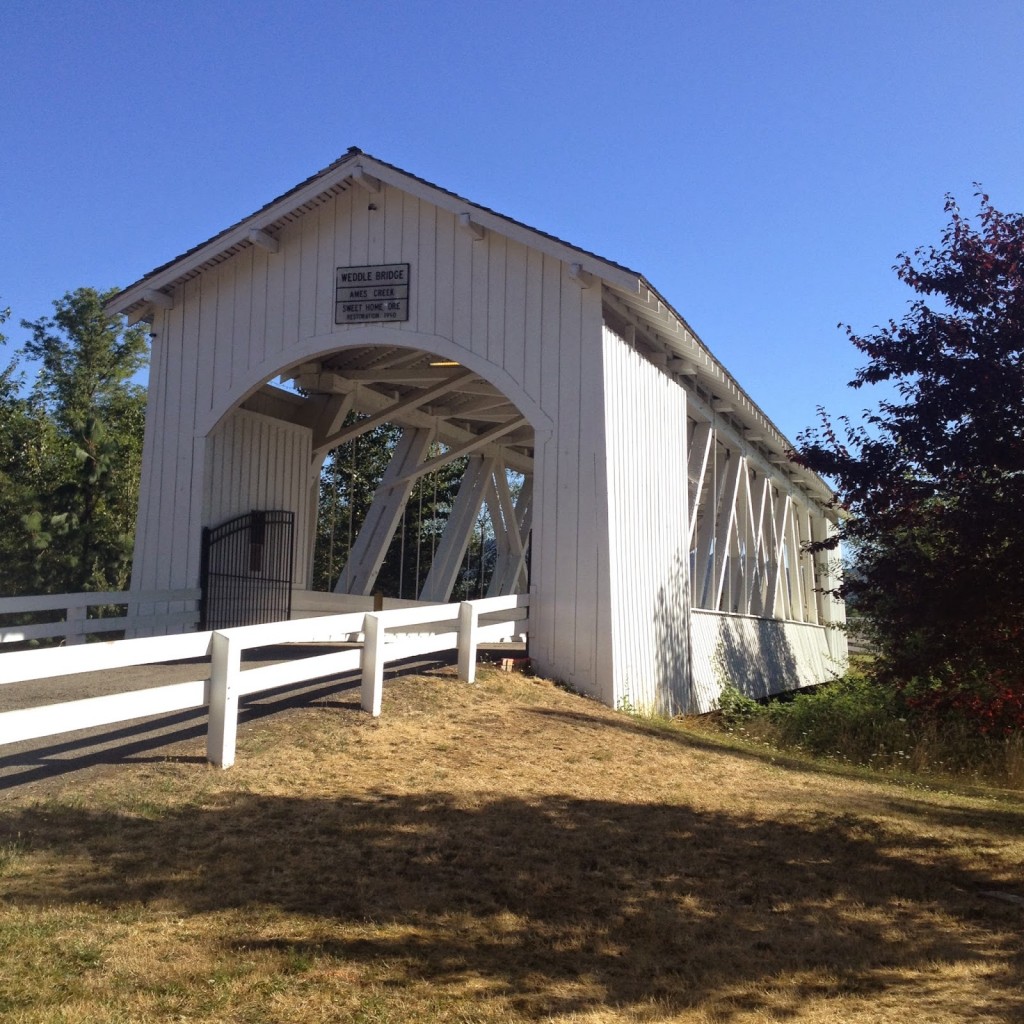
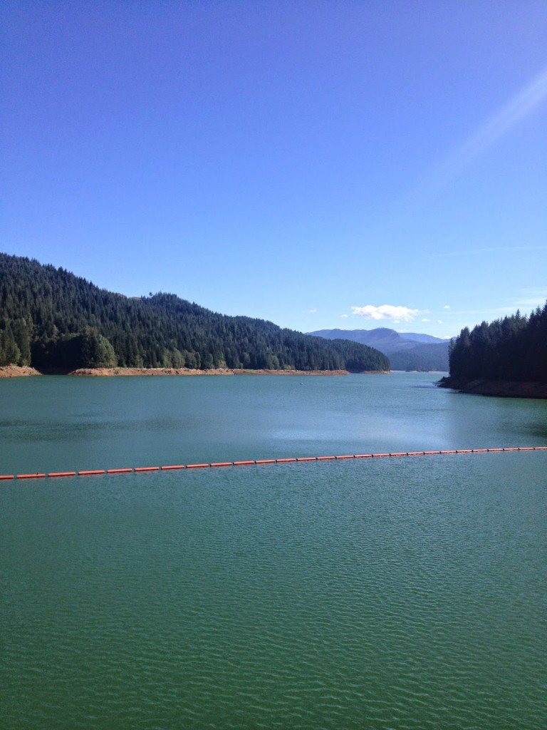
Today was my day. I started by a covered bridge then rode out on US 20 – the same US 20 that rolls through Erie, Pa. I followed Foster Lake then made a climb through the lush forest to Green Peter Lake. I turned around and went alongside the other side of the lake and then my map took me away from town. I could have crossed a bridge and made a loop, albeit 20 miles or so but I was looking for 40 (or so).


Green Peter Lake

The (pre-programmed) route I was on was called Berlin Wall and the author sort of chastised anyone that wanted to try. I was on Berlin Road and this was a good name for it. I started climbing and reasoned it couldn’t be too hard. It kept climbing. And kept getting steeper. I was working hard to get myself over the top. Well done guys!

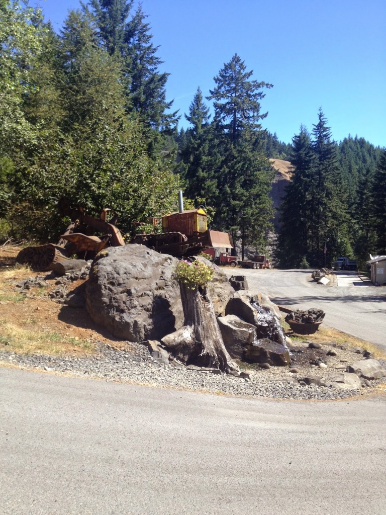
Liberty Rock Products

Once over the top it was down in the valley to a loop turnaround. I was passed by a number of logging trucks and two Weyerhaeuser plants. No mistaking, this is a lumber town.


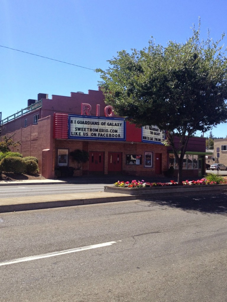
The Rio - Theater in Sweet Home
The Rio – Theater in Sweet Home

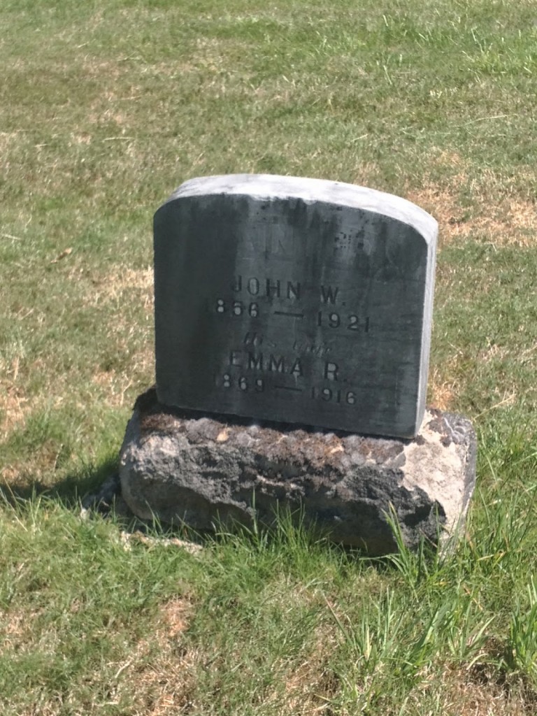
Back in town I continued through town looking for a cemetery and looking for miles since I was close to 50. The cemetery is Gilliland, which I found (with help from a rural letter carrier). My great-great-grandmother, Emma Ruth (Ross) Painter, mother of Mae (Bartlebaugh) States, is buried here. I found her grave and was completely satisfied with a day of riding around my grandmother’s birthplace and a little tombstone hopping.

Emma Ruth Painter

Crater Lake and Alex

ASHLAND, OREGON

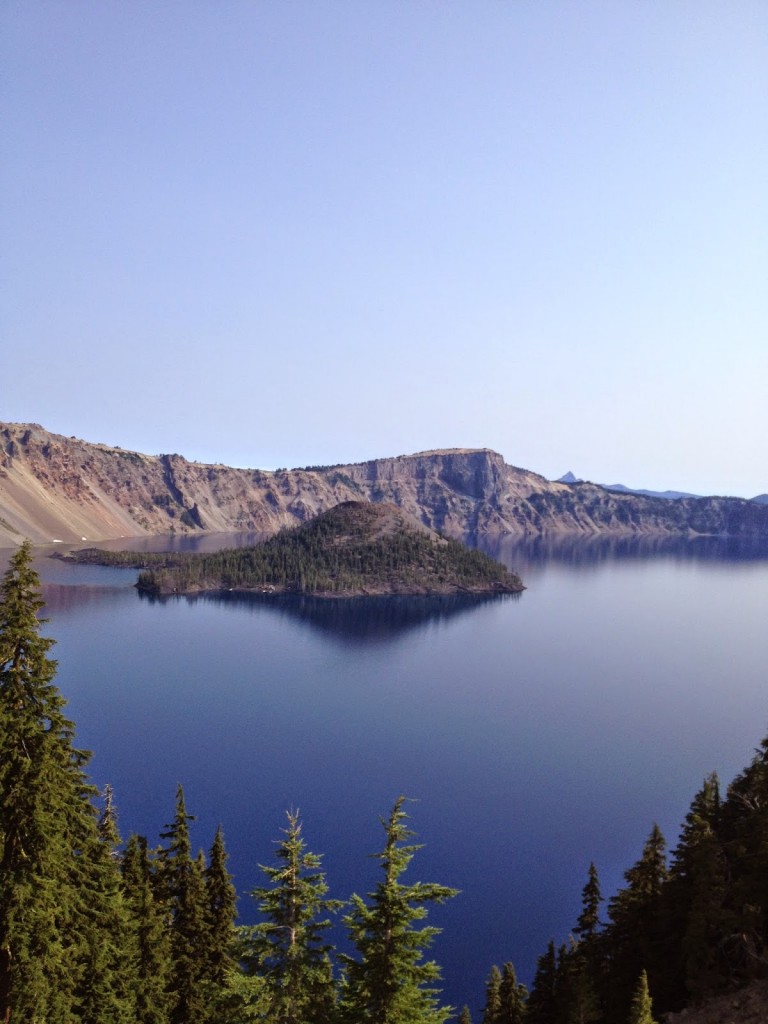
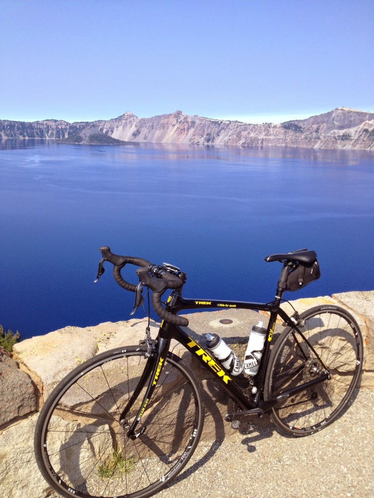
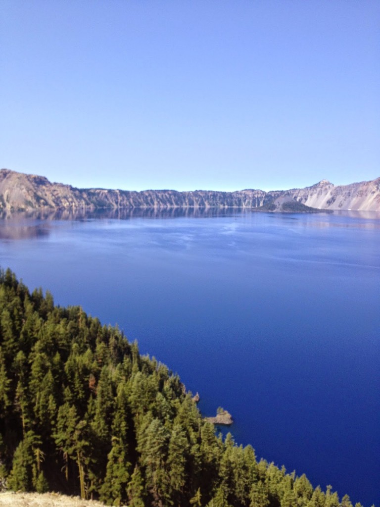
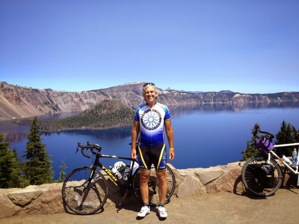
I have dreamed for years of visiting Crater Lake but it’s pretty isolated for this East Coaster. But when I started planning this trip I knew I could visit the lake. And not visit but to ride around it.

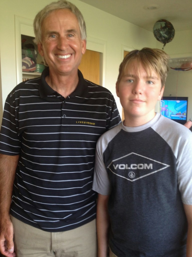
Both Crater Lake and Alex Shepherd are in the southern part of Oregon. Alex is a 12 year-old battling brain cancer. He’s an avid cyclist as well and last year I made a promise to him or to myself that I would ride with him.

I drove to Crater Lake and, following one rider’s suggestion, parked at Rim Lodge and rode clockwise. I would not recommend this.

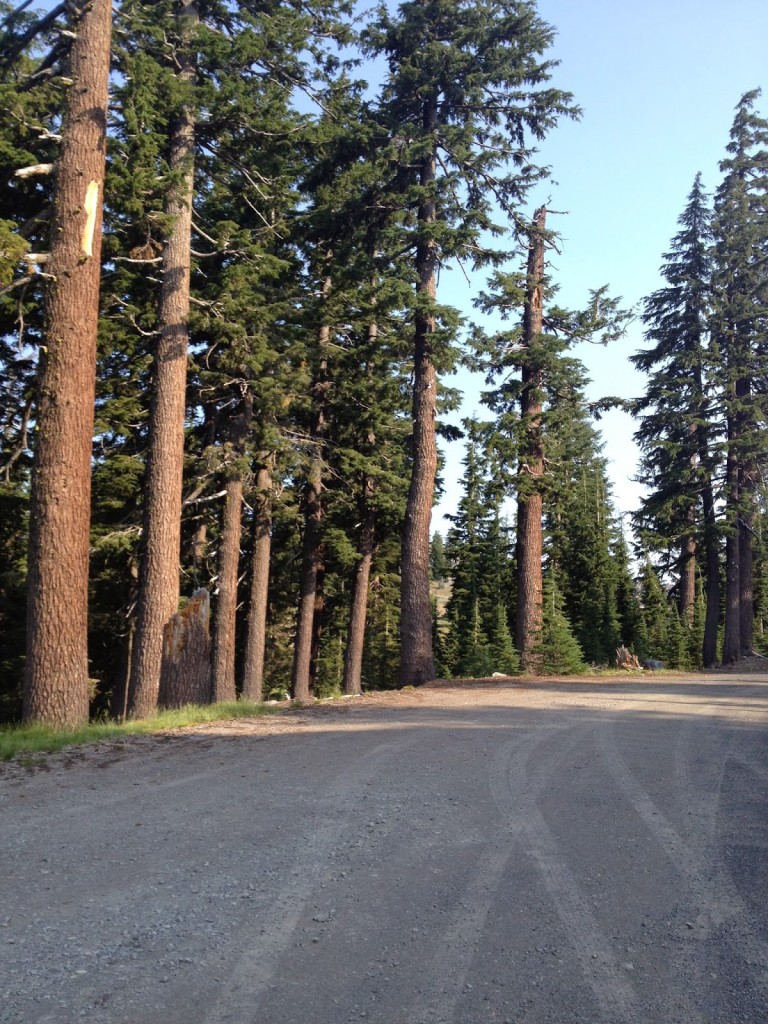
It was a beautiful morning if not a bit chilly. The temperature was in the low 50s. I wore arm warmers and a vest. Headed out I headed up. None of the climbing was hard – just long. On my first climb I came to stopped traffic and went up the road past them to the front. There I had 15 minutes of quality conversation with a flagman. In the park they were working to remove loose rock along the side of the road before nature does.

There are more than 30 pull-offs. At one I saw two women both taking a picture of each other. I stopped and asked if they both wanted to be in one. They were so glad I stopped. Then they asked how far I would ride and I replied “around the lake.” They asked me if I could do that in a day. I told them I better do it in three hours.

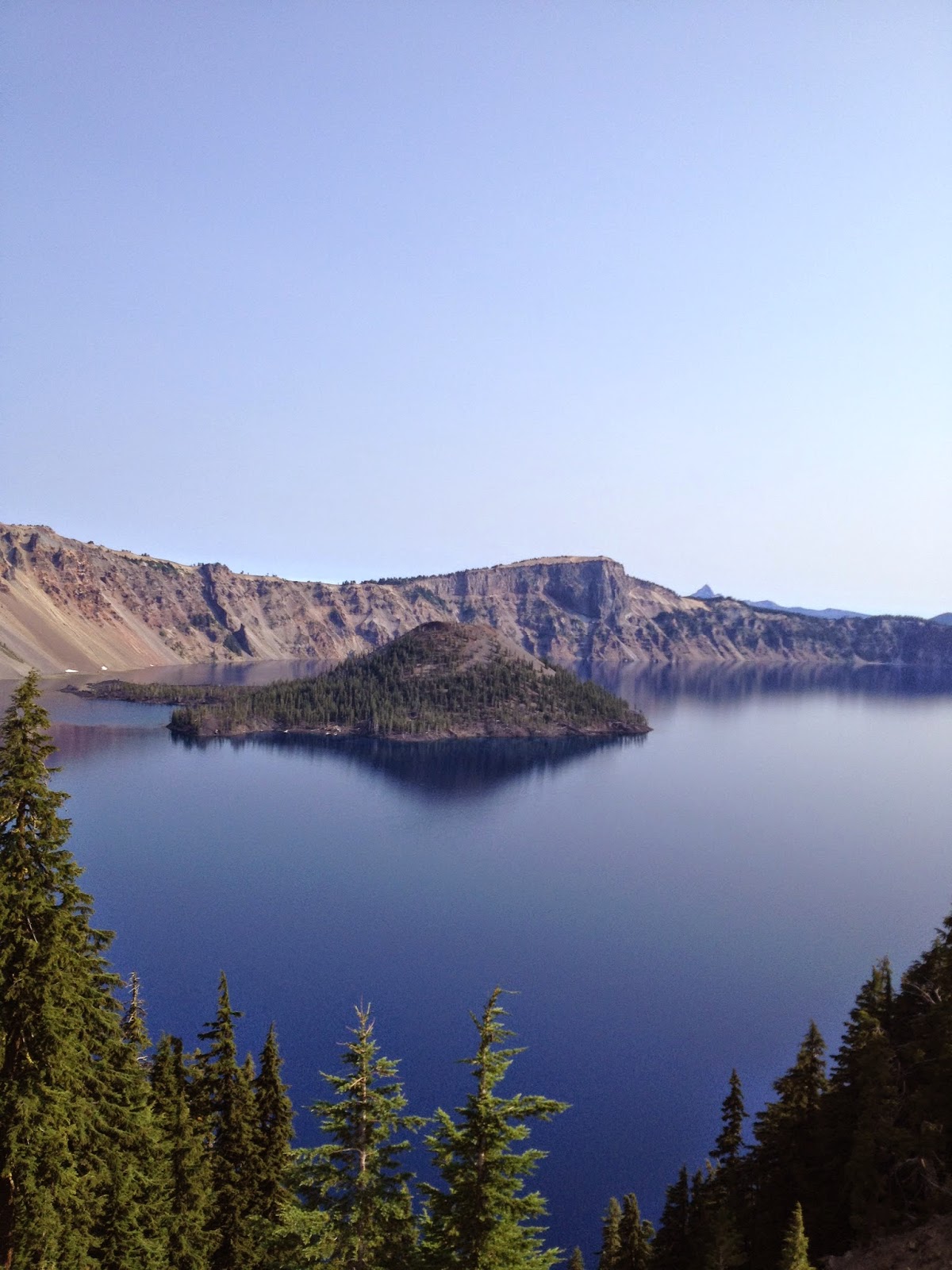
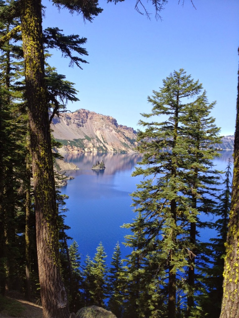
Phantom Ship Rock

At one lookout I met Mike from Tucson who was riding a trail bike. At the Phantom Ship I met an older lady, probably 70, who was riding counter-clockwise. She told me counter-clockwise was easier because there’s less climbing. I’m still scratching my head on that one. To me there’s the same elevation gain and loss no matter which direction one rides. She may be referring to one direction has more linear climbing because the grades are less but longer while the other direction has steeper grades. And that would depend on your climbing preference.

As far as parking at Rim Lodge, I might recommend that for a counter-clockwise ride. But on a clockwise route with three miles to finish, I passed the visitors’ center (a good place to start). Then I began a three mile climb to Rim Lodge, to the finish. After three hours in the saddle I would have preferred not to finish with a climb. Like direction, you’re going to get the same amount wherever you start but I would much prefer starting with the climb while my legs are fresh.

Overlook at Rim Lodge

After the ride at Crater Lake I drove to Ashland to meet Alex. At first, Alex and his mother, Aushna, were out trying to get his medications and Aushna encouraged me to meet her husband, Dan, and daughter, Lily. Dan is also an avid cyclist and I thoroughly enjoyed talking about cycling (and life) with him. We also discussed Alex’s situation and their efforts to get him into a trial.

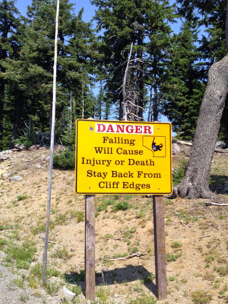
Falling Hurts

It was late in the day, I had been there for a couple of hours and still no Alex. I was on East Coast time and was getting tired. I also had a four hour drive ahead of me. I thought about leaving a note for Alex and Aushna but decided one doesn’t do that. I would stay until midnight to meet Alex.

Alex and Aushna did come home and I was able to meet them. Alex isn’t riding his bike right now, a couple of brain surgeries in the past few weeks will do that to you. But what a neat kid. He showed me some of the motorized Legos that he has built. I told him to let me know when he’s back on his bike – I still want to come out and ride with him.

Aushna Shepherd, Barry Sherry

This is an incredibly beautiful family. My prayers are with this family daily and I ask that you join me.

Oregon

CORVALLIS, OREGON

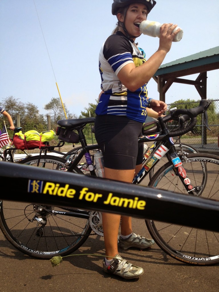
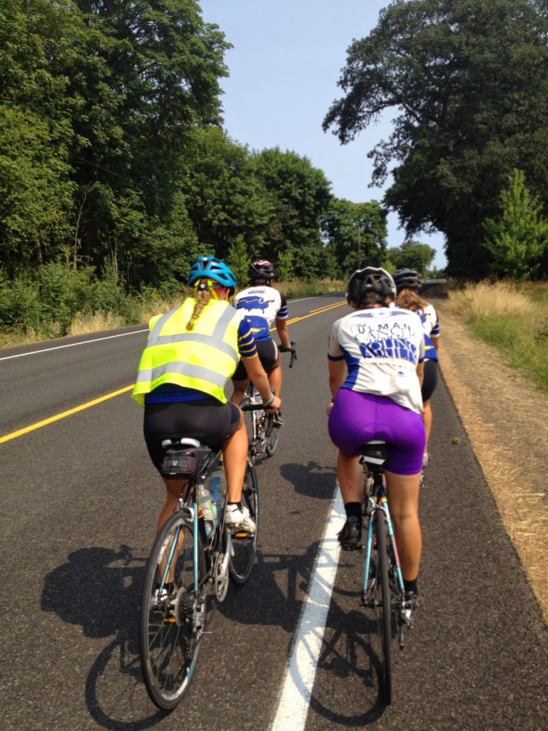
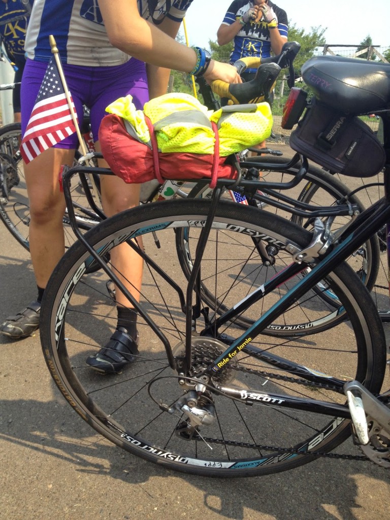
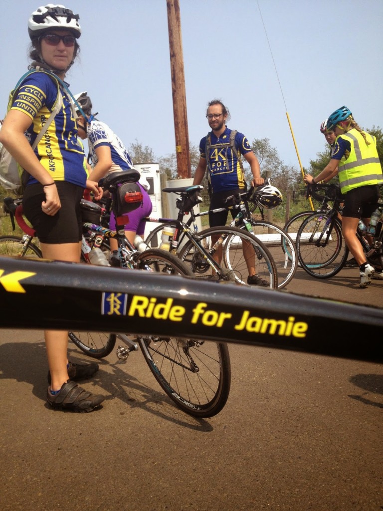
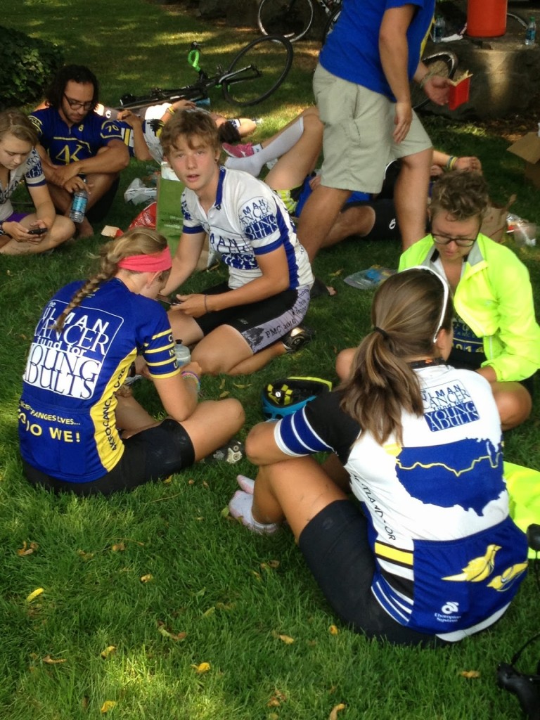
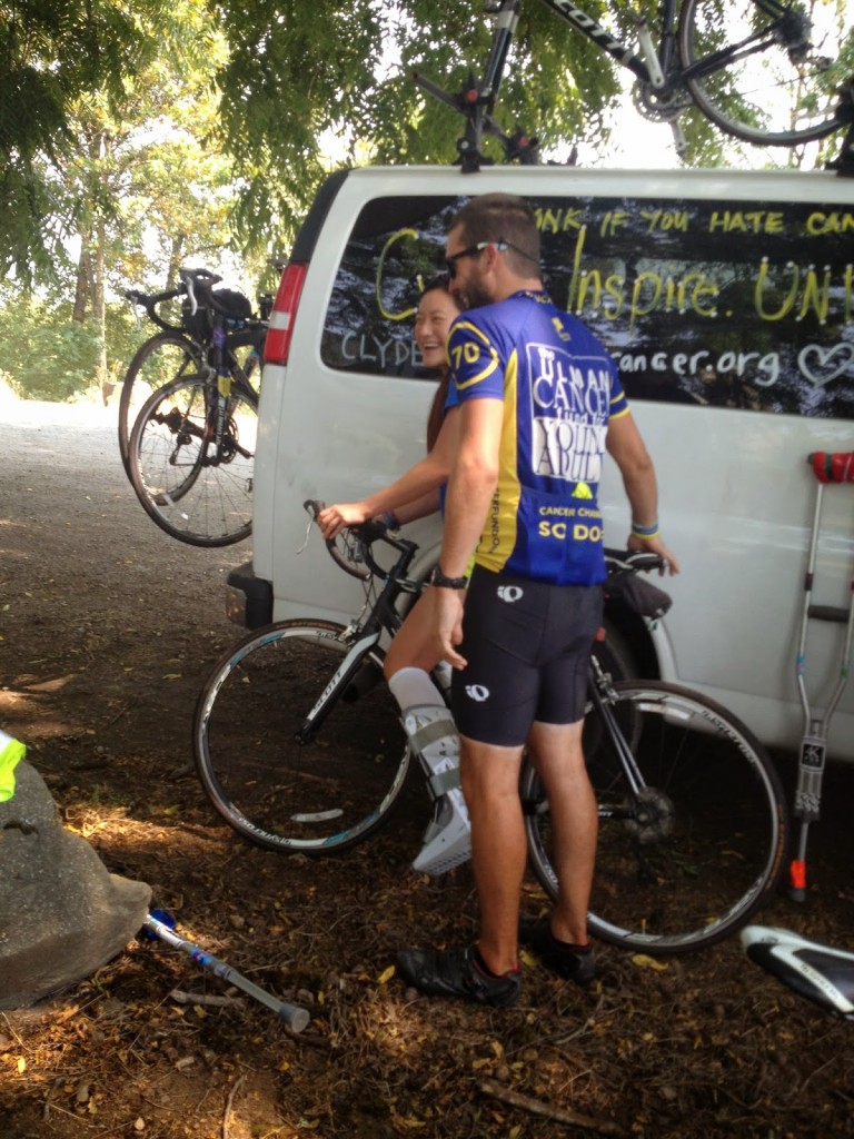
I rode with a group of college students riding to Portland on their second and third days in Pennsylvania. This trip had been planned for quite a while and I hoped to see them again in Oregon. Once Jamie Roberts was killed I knew that I must see them, not for their sake but for mine.

Bridge over Willamette River, Corvallis, Ore.

Aaron Hoxworth sent me their turn-by-turn directions and I told him I would ride the route backward from Corvallis to Eugene to find them. I started my day by riding to a rental car facility in Portland, taking it back then barely squeezing the bike box in the car. But it fit.

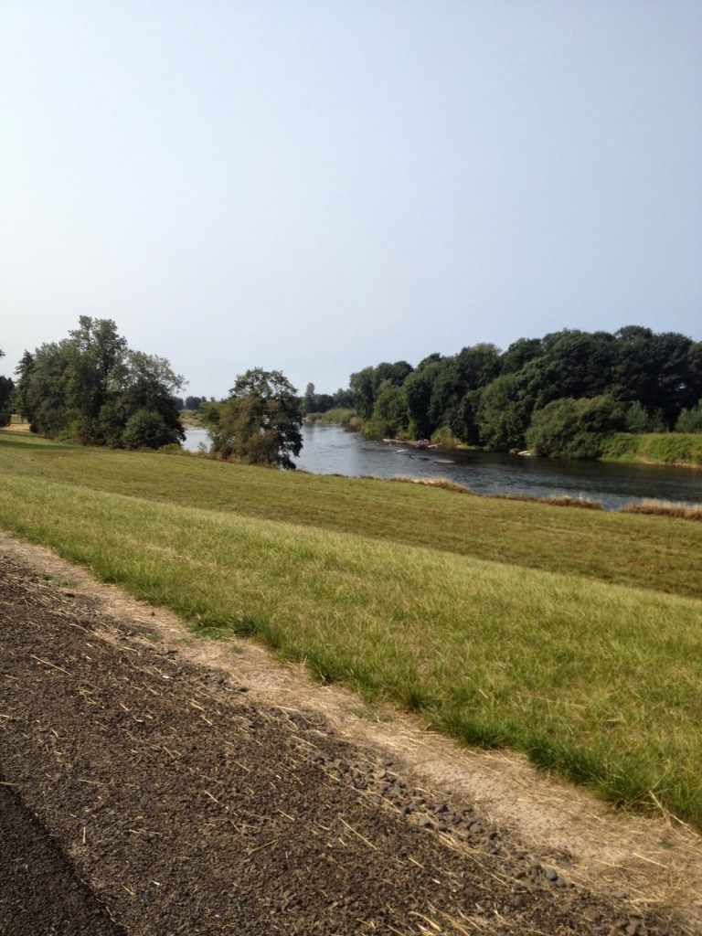
I drove to Corvallis and arrived later than I wanted to but it was the best I could do. Wheels down at 10:00 a.m. I followed my preloaded map and directions. I had ridden about 11 miles when, out on a country road next to the Willamette River, I saw four riders coming to me in the distance. As I passed they called out my name. I did a U-turn and congratulated each rider.

We rode together for a little more than two miles then I turned around and and went back to find the second group. There too I was met with warm greetings as I turned and rode with them. And I did the same for groups 3, 4, and 5.Once I hooked onto the last group, one with Ki Young Kim in it, I was enjoying good conversation when I saw the second group off to the side of the road. I told Ki Young I would drop off and ride back with them.

First Caitlin Epps was sitting on the ground, bike upside down, spinning the wheel and trying to true the wheel. Then Ashley Arnold took over. I was really impressed. On Day 2 they struggled with changing flats and here they were truing a wheel.

Once back on the road I took them the way I came which was over a wonderfully old rickety wooden bridge in Corvallis. Unfortunately that meant we missed coming off the newer bridge and seeing the mark to the lunch stop. It was only one more mile to the Boys and Girls Club – their hosts for the night, but it was noon. And we were the only ones there.

A quick phone call and we discovered where lunch was. Another mile back – bonus miles – and I got to meet the rest of the team. It was good to see them happy and I spent some private time with Caitlin. I said goodbye to Aaron, and not many more, because after an impromptu game of barefoot soccer, most of the riders scattered into town.

I was so happy to see them. They have come a long way – much further than 4,000 miles on a bike.

Willamette River
Caitlin Epps
Bridge over Willamette River, Corvallis, Oregon
What’s Missing Here Joanna Wang?
Your Helmet
(With Chris Blazer)

Portland

PORTLAND, OREGON

Portland, along with
Minneapolis and Boulder, is one of those “bike Mecca” places.
I’m not sure anyone is a fan of riding in urban areas but if you have to
ride in a major city, try it out in one of these cities. Your turn: Portland.

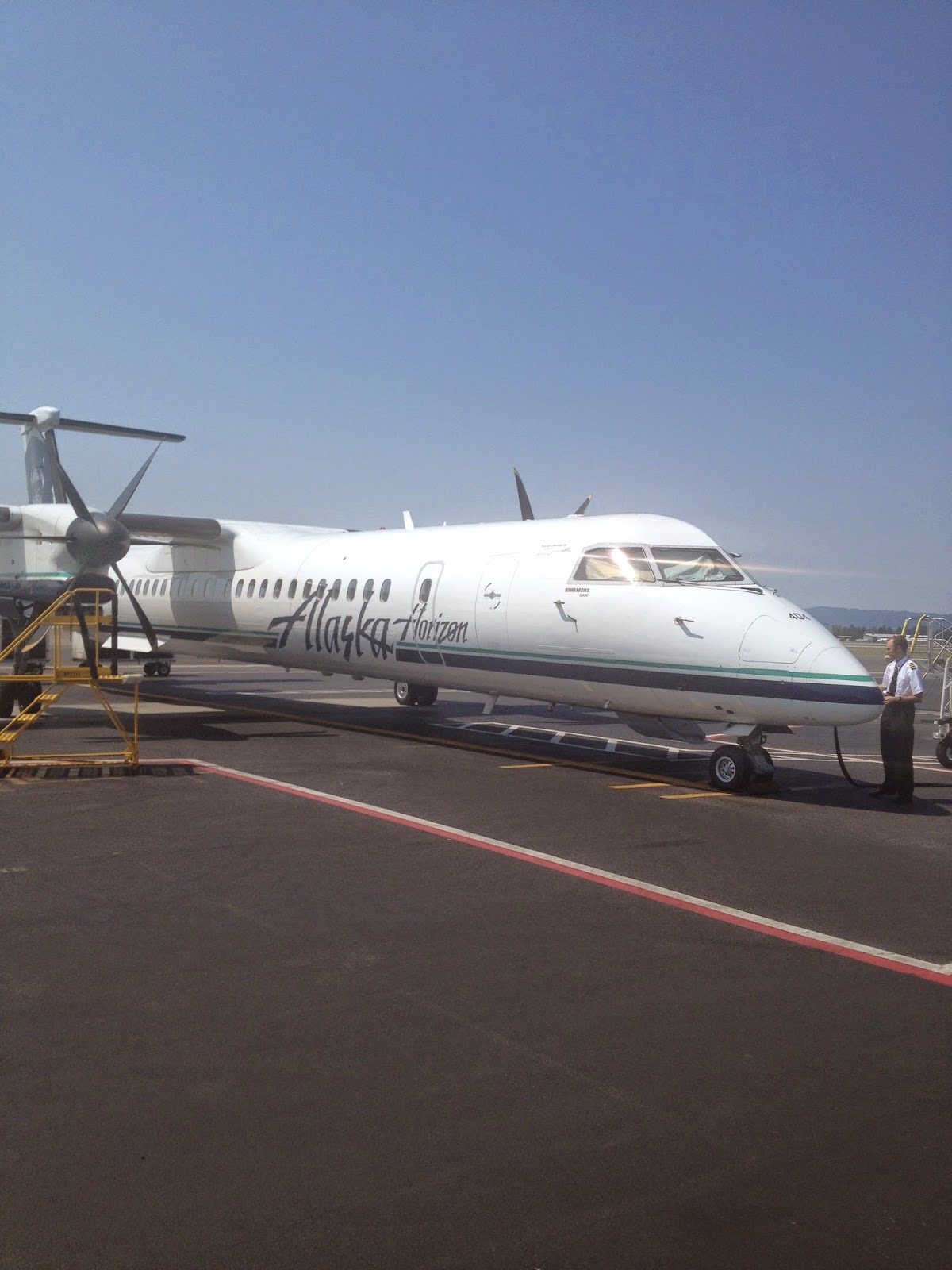
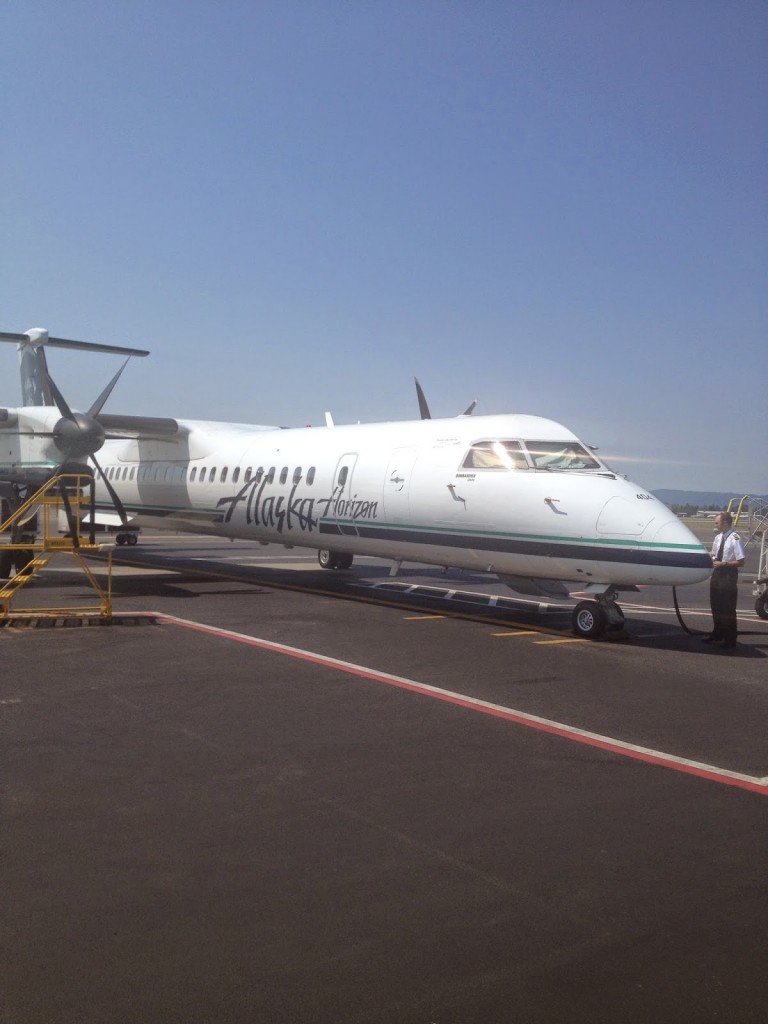
Alaska Airlines operated by Horizon

My biggest fear was
getting here, knowing I’d be flying with my bike and on a small plane
from Seattle to Portland. As I boarded, from the rear, I asked the guy
in the cargo hold if my bike was in there. He said it was. Sweet.

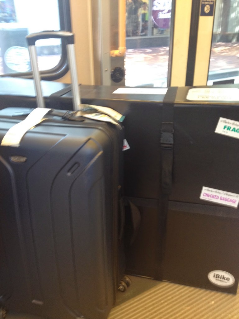
Suitcase and Bike Case

I figured out the light rail system and for $2.50 took a train to downtown Portland then put my bike on the suitcase and rolled them both up the street to the hotel. It was about a six block walk and beat paying $40 for a cab.

Once to the hotel and I got the bike assembled, I went for ride. Completely by “feel.” There’s a river (Willamette) so I reasoned it would be hard to get lost.

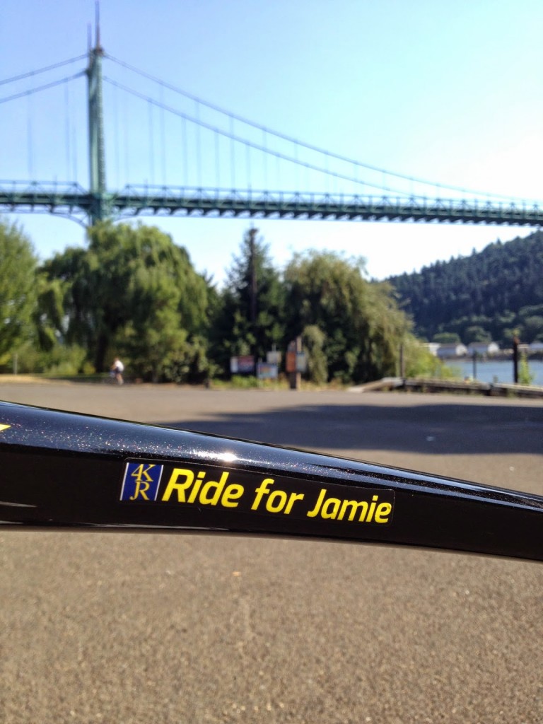
I stopped at Metropolis Cycle Repair on Williams Street for a CO2 cartridge (can’t fly with them) as well as some lube. And some free air. The guy in the shop was very friendly and  directed me up towards the St. Johns Bridge. 

St. Johns Bridge

It was a nice ride up and back. I was gone long enough to form some impressions.

First, there are lots of bike lanes. But like a lot of cities, the bike lanes are dangerously close to parked cars or include the gutter.

Second, glass. It’s America. There is broken glass on the sides of the road, which is where the bike lanes usually are. Proceed with caution.

Third, signage. Sometimes good. Sometimes spotty. I followed the signs to the St. Johns Bridge until I lost the scent. Same with Downtown Portland to get back.

Fourth, track stands. At every intersection multiple cyclists can be stopped waiting for the light. The really cool cyclists do track stands, that is, balance on their bikes without ever putting a foot on the ground. I’m not that cool.

I’m not a fan of urban riding but it’s a great city to ride in.

Chautauqua Lake

CHAUTAUQUA LAKE, NEW YORK

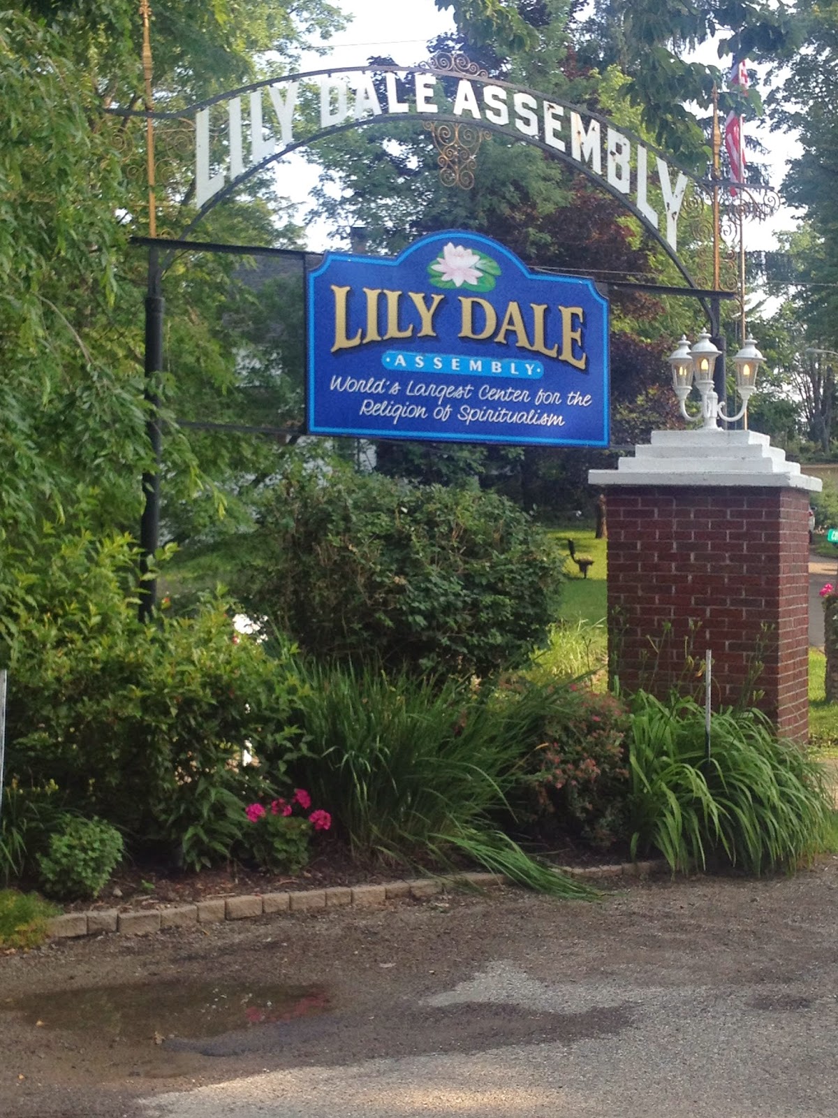
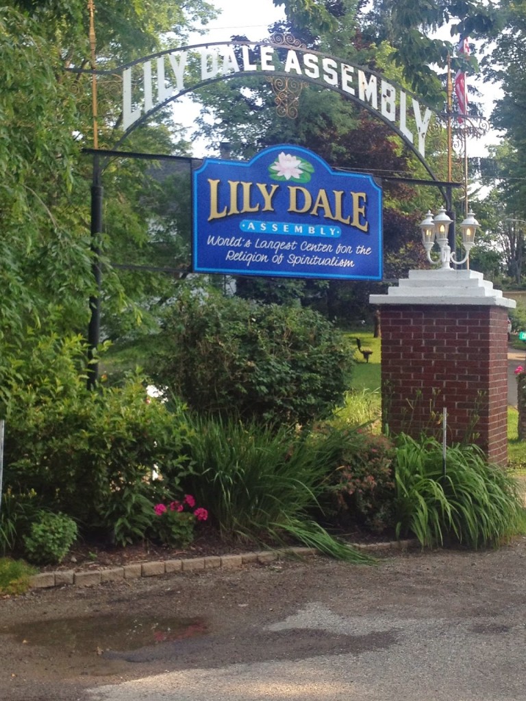
Even as I drove with my with daughter, Ashley, to Lily Dale, New York, I wasn’t sure where I would ride. Part of me wanted to ride around Chautauqua Lake. Part of me wanted to ride back to Erie, Pa. All I knew was she was visiting Lily Dale and I was going for a bike ride.

I designed and uploaded a route to my GPS that would take me down the east side of the lake, cross at Bemus Point, then head straight to Erie. The distance was around 100 km (62 miles).

Lily Dale sits on the three small Cassadaga Lakes. It was a very pleasant morning, around 70 degrees and sunny. There was a bit of a hill getting out of there – one mile at 10-11% – but once up and over it I rolled on towards Chautauqua Lake.

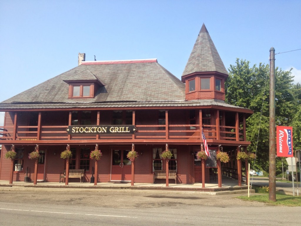
Stockton, New York

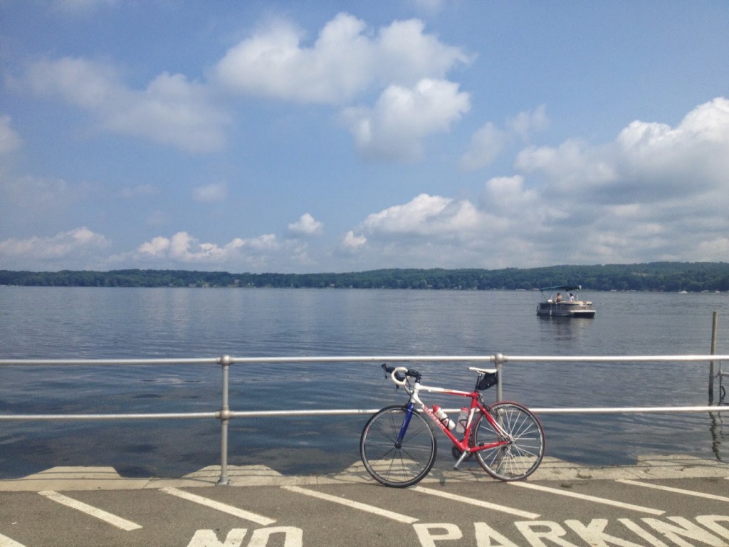
Reaching the main highway at the lake I went down the east side, disappointed that there weren’t better views of the water. I expected a road where I could see the lake the entire time and much of it was too far away behind forests to see the lake.

Bemus Point, New York

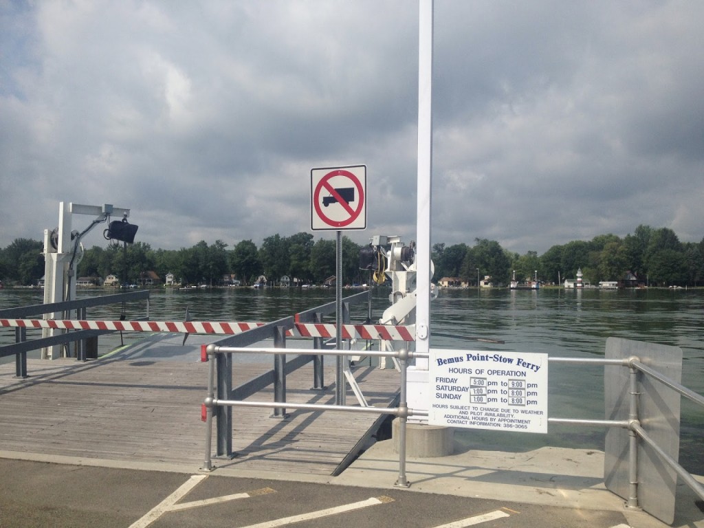
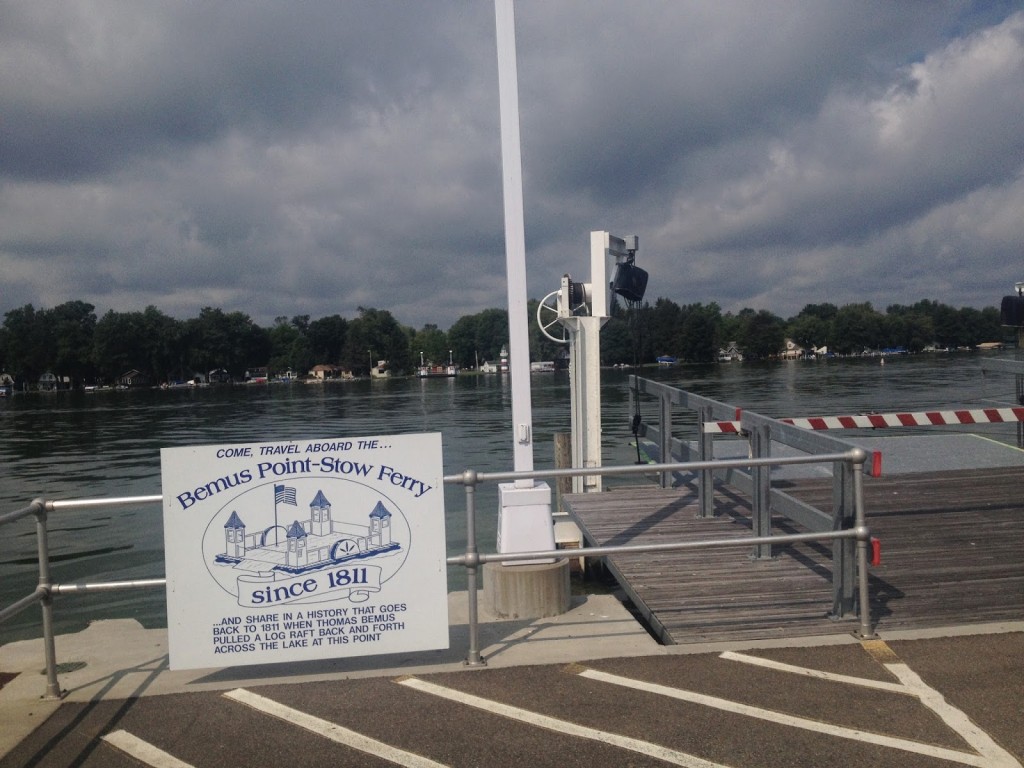
I reached Bemus Point, a beautiful small village with a ferry that crosses the lake. I rolled up on my bike. I was the only one there but could see the ferry at the other side of the lake. I waited. I thought I could see it was getting closer. It wasn’t.

Operates Friday, Saturday, Sunday

A couple docked their boat and came ashore. I asked if the ferry was getting closer and he said it only runs Friday, Saturday, and Sunday. Say what? Secretly hopeful he would offer to take my bike and me across I said it looks like I have to ride around the lake. He agreed stating “you look like you can do it.”

Operating since 1811 – just not on Mondays

I headed off south not knowing where I was going – navigating by feel staying close to the lake. My best option wasn’t an option. Just south of Bemus Point is a bridge across the lake on I-86. A road sign stated “Erie 35.” My mileage was right. I had ridden 24 miles, and if I could cross there I would be to Erie around mile 60. But I had much farther to ride because I could not cross the middle of the lake.

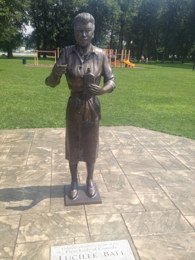
At Jamestown I made the turn and discovered a statue to Jamestown’s native daughter of comedy, Lucille Ball. That made the trip worthwhile.

When I came to Busti, I stopped at a gas station. I saw a man and asked him if he was local. He said he was. I asked how far it was to the Chautauqua Institute and he told me 20 miles. The road sign for Mayville said 14 miles.

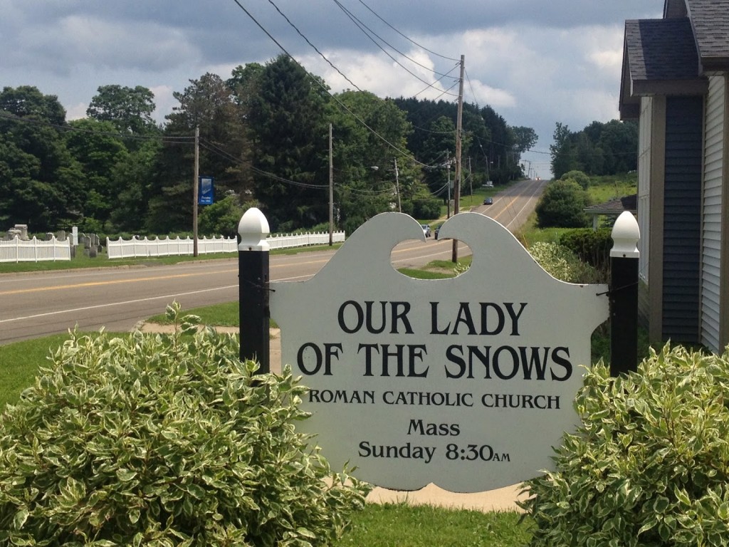
Appropriate name for a church in western NY
Panama, New York

I asked if Chautauqua was before Mayville and he said it was. I then said the sign says Mayville 14. He paused and said, “I still say it’s 20 miles.” Sigh.

Another man asked “do you want to ride to Erie?” and was surprised when I told him I did. He told me to take the road I was looking at, Rte 474, and head west. Said it goes right to Erie. Unfortunately, I believed him.

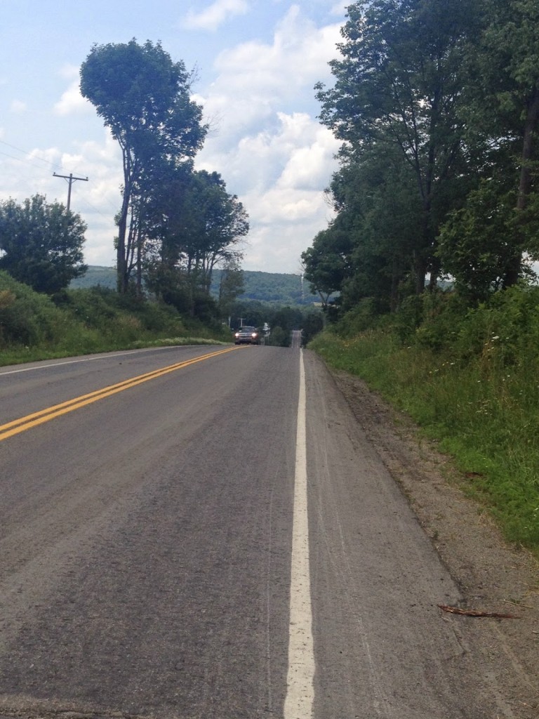
The road was lumpier than I thought

My designed route was north – I was to pick it up at  Chautauqua Institute, but this seemed better. I headed west to Panama and then to Clymer. Just outside of Clymer I saw a road sign “Erie 30.” I had ridden 40 miles since I saw the one for Erie at 35 miles. Forty miles and I was five miles closer!

Ashley was on her way back from Lily Dale and asked where I was. “Not a whole lot closer” I told her. The main road from Wattsburg to Erie is Pa. Rte 8 – a busy two-lane road with no shoulders. I didn’t want any part of that.  I told her to meet me in Wattsburg. I continued on and we met at the Wattsburg-Erie County Fairgrounds.

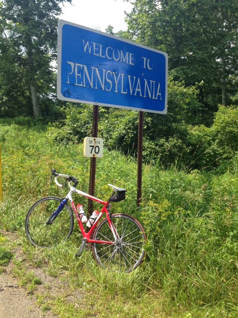
NY-PA border between Clymer, NY and Wattsburg PA

I went farther than if I had just designed a route to get me to Erie. I wanted to see the lake which I did. Throw in some westerly head winds and some hills that I wasn’t expecting, it was a harder ride than I expected. I only wish the ferry had been running but then I wouldn’t have found the Lucy statue, which was pretty neat.

Three Country Ride

SISSACH, SWITZERLAND

I had never been to Germany and a few months ago I told Ben Z. that we should ride (or that he should design) a ride that takes us from Switzerland to Germany. And he designed a good one.

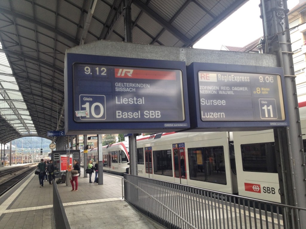
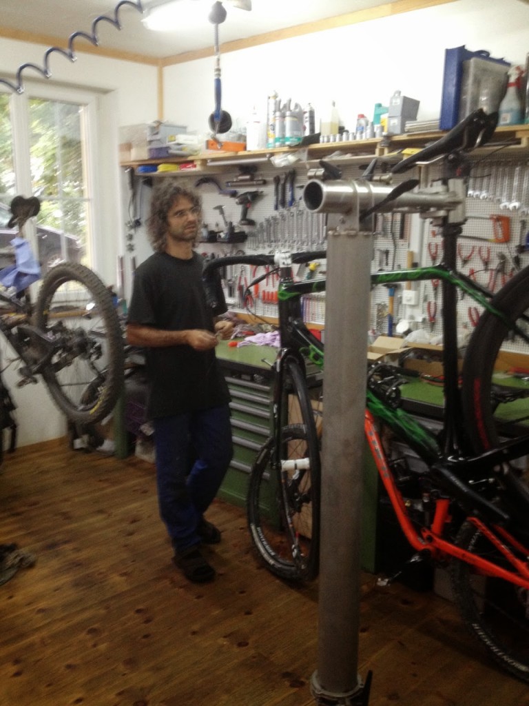
I took the train from Zürich to Sissach, met Ben, and went over to Stonebite bike shop, right down the street from the train station. Met a very nice guy working there. I grabbed a Trek Madone with Di2 (electronic) shifting and he fit me to the bike. One problem though. When I tried to shift I discovered the battery was missing and he couldn’t find it. But a couple of phone calls and 45 minutes later we were off and riding – the train.

(Actually there was a second problem. The bike was too large for me and a seat I could not lower. I would be uncomfortable for a day. Oh well.)

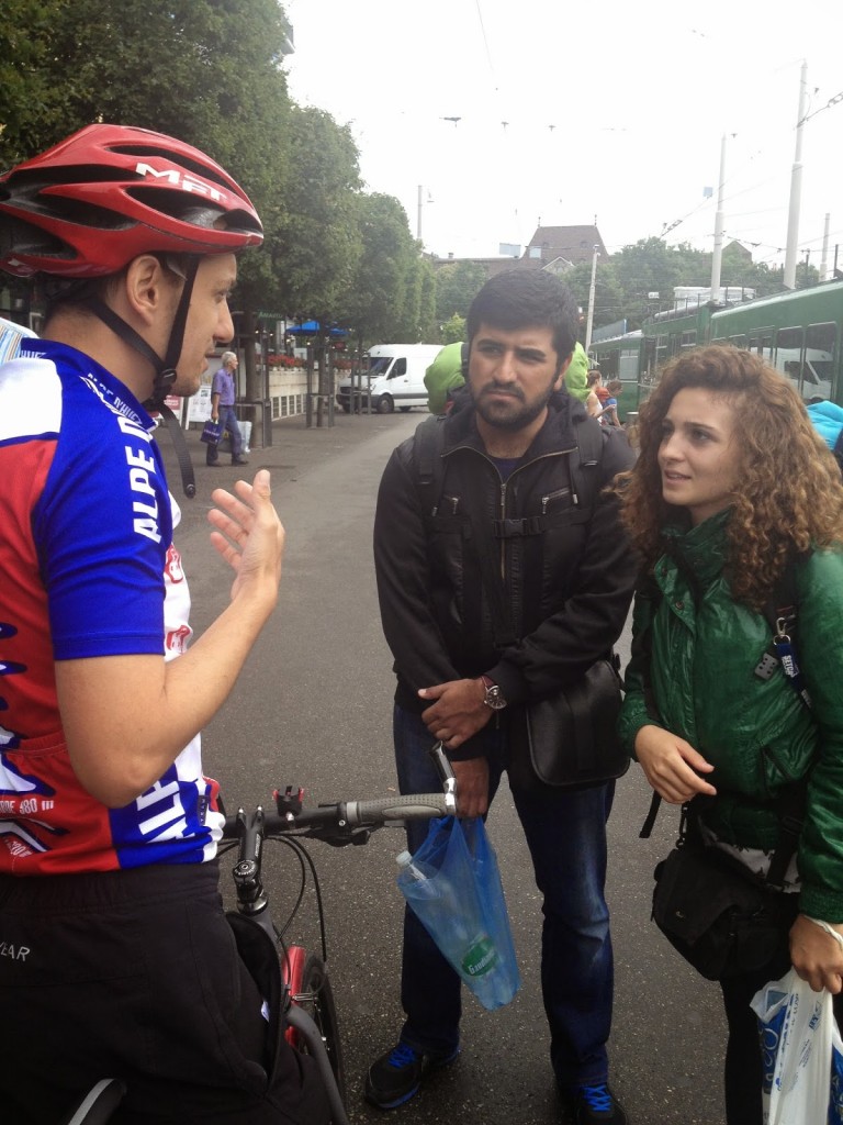
Ben, giving a Turkish Couple directions

We took the train to Basel to begin our tour. Winding our way via bike paths, we found our way across and then beside the Rhine River. It was navigating by feel. Within six kilometers we were crossing into Germany.

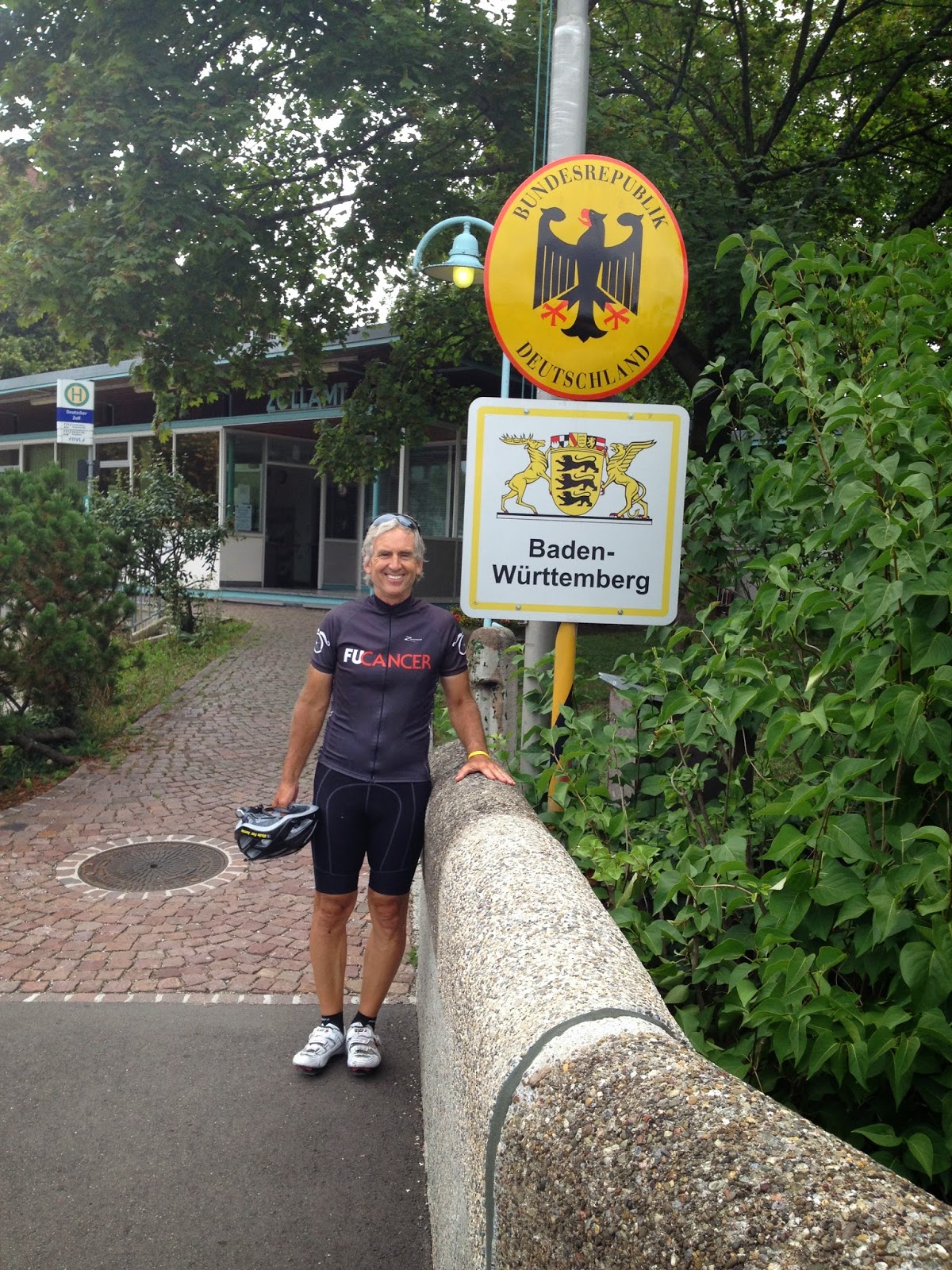
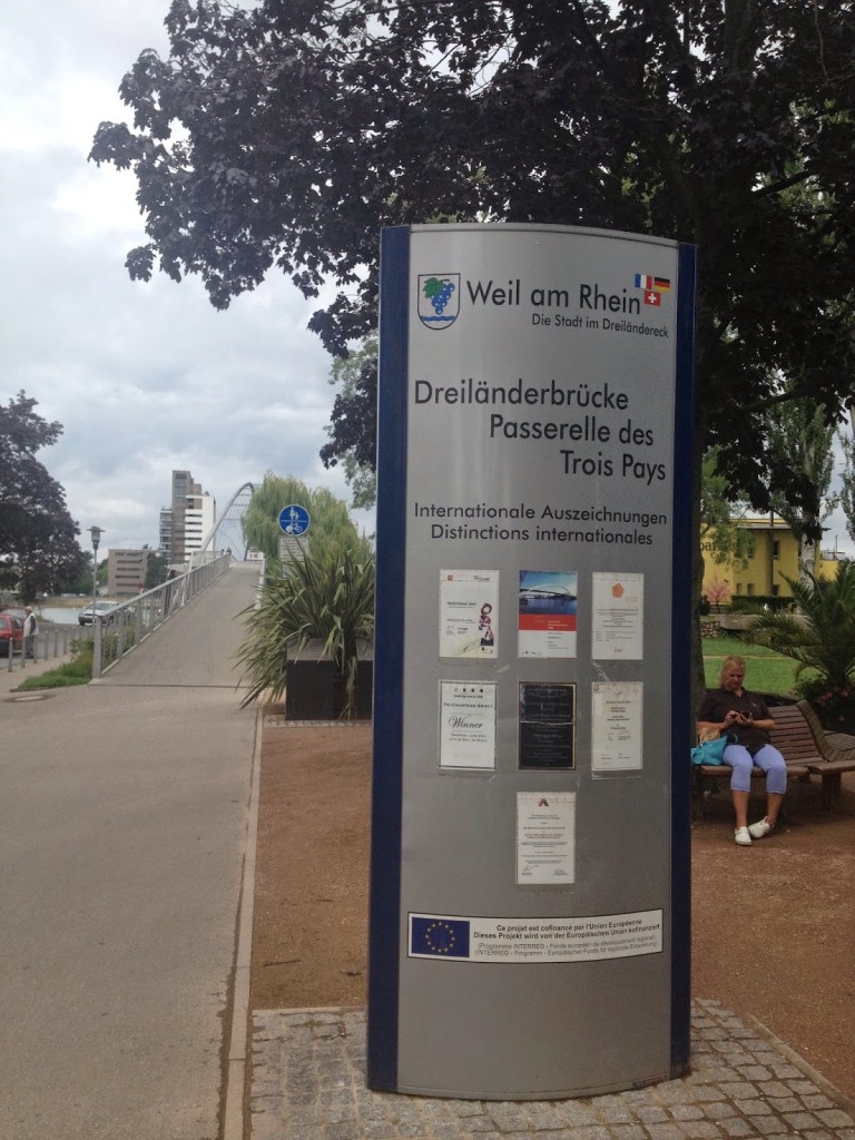
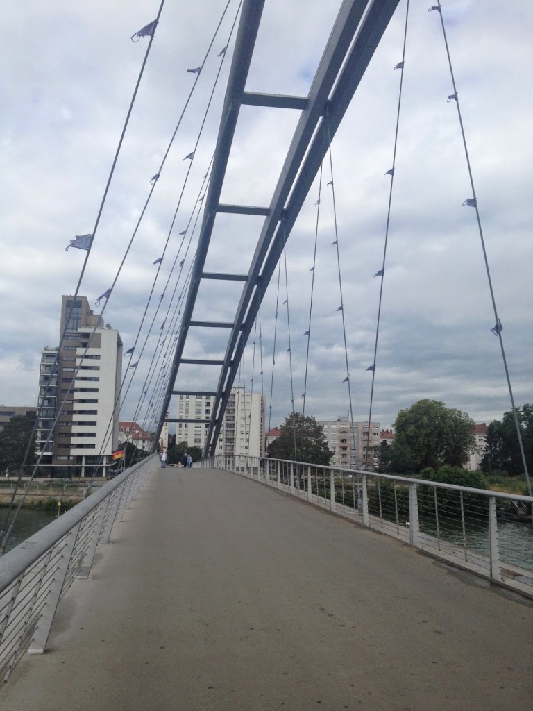
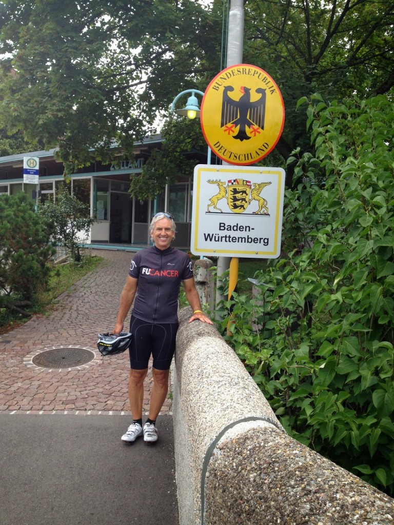
And almost immediately once we were in Germany, we were leaving Germany. We crossed the Three Countries Bridge into France. I was in Germany for 600 meters. But it counts.

Three Countries Bridge

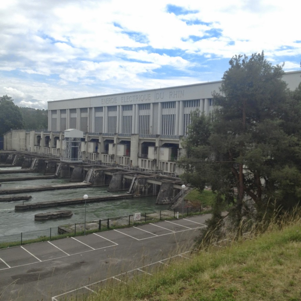
Once in France we were on pancake flat roads, parallel to the Rhine River and the Grand Canal of Alsace but never quite seeing it. The road was a chip and tar road and a bit difficult to pedal. After 12 kilometers we turned towards the river and followed a road back to a hydro-electric power plant on the river at Krembs.

Hyrdoelectric Plant at Krembs on the Rhine River

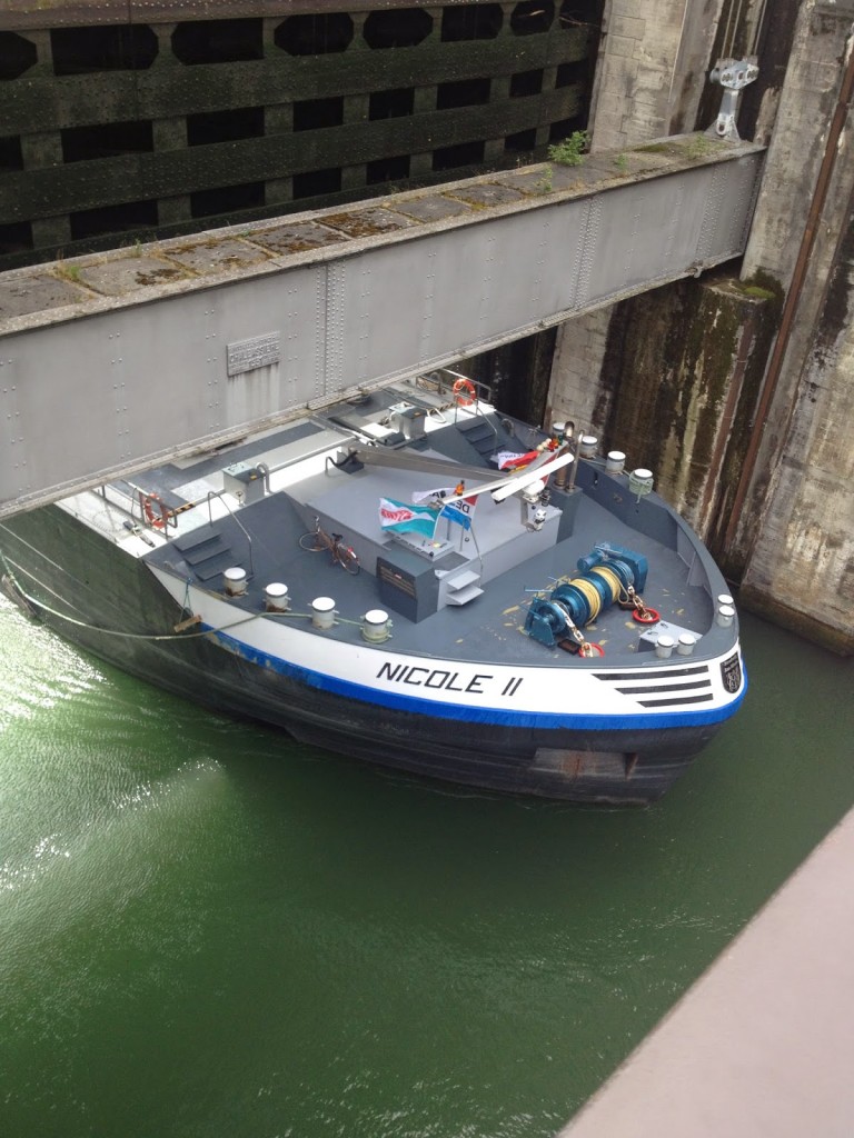
No cars but we could cross the damn on bikes. We stopped to watch a ship come through the lock.

Ship coming through the lock at Krembs

Once we crossed the dam we followed the canal south until crossing into Germany. We jumped on a bike bath which was paved but turned to dirt and gravel. Germany has many bike paths next to roads, most are paved but this one wasn’t. We rode it for a few kilometers before finding another path/road which was paved.

Bike path in Germany ran out of pavement

Ben had printed out directions but we seemed to be off cue as much as on and it sure was fun. We followed open roads to wherever they led – which was not to lunch.

Closed on Mondays

Hungry, my breakfast was a Snickers bar in the train station, we found a restaurant/tavern which was closed on Mondays. Then another. And another. Finally we found a place in Kandern in the Black Forest which may have been Pizzeria Sanlorenzo, but I can’t say for sure. After a cyclists’ lunch of pizza, we headed out and up – up a beautiful road through the Black Forest.

Black Forest

Occasionally at a town or intersection Ben would check GPS but just as often we would say – “let’s go that way” as long as it was headed south or west – back towards his home in Sissach.

Ben and a Bike Path in Germany

We were on country roads, for the most part not heavily traveled, but just as often we jumped on the paved bike paths which followed the roads.

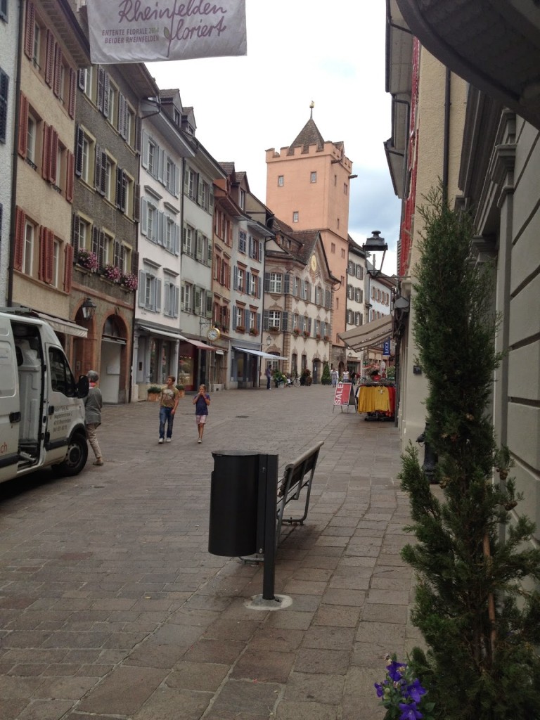
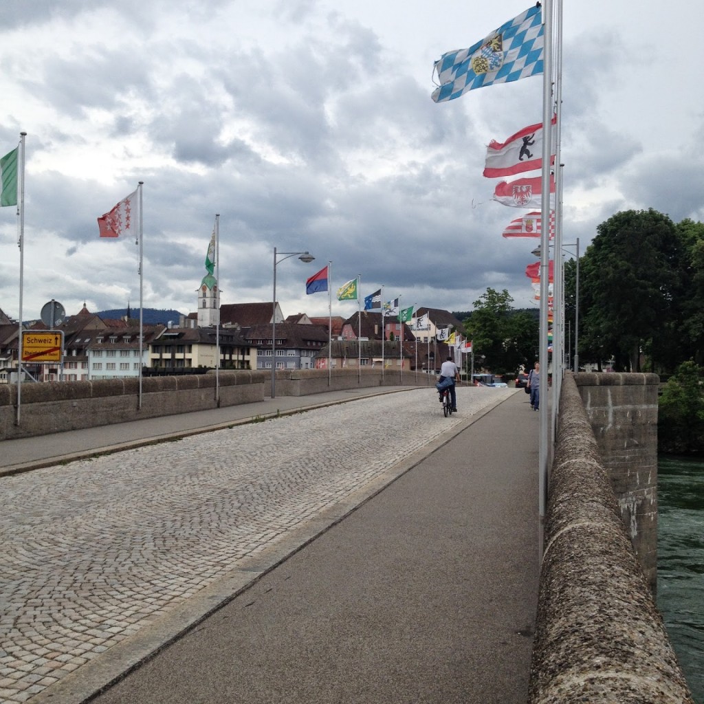
Reaching Rheinfelden, Germany, Ben mostly knew the way except that a landmark old building was missing. A quick question to a tourist and we were headed across the bridge crossing the Rhine back into Switzerland, to Rheinfelden, Switzerland. Two questions really. Which way to Switzerland and is that water (in the fountain) potable? (It wasn’t)

Rheinfelden, Switzerland

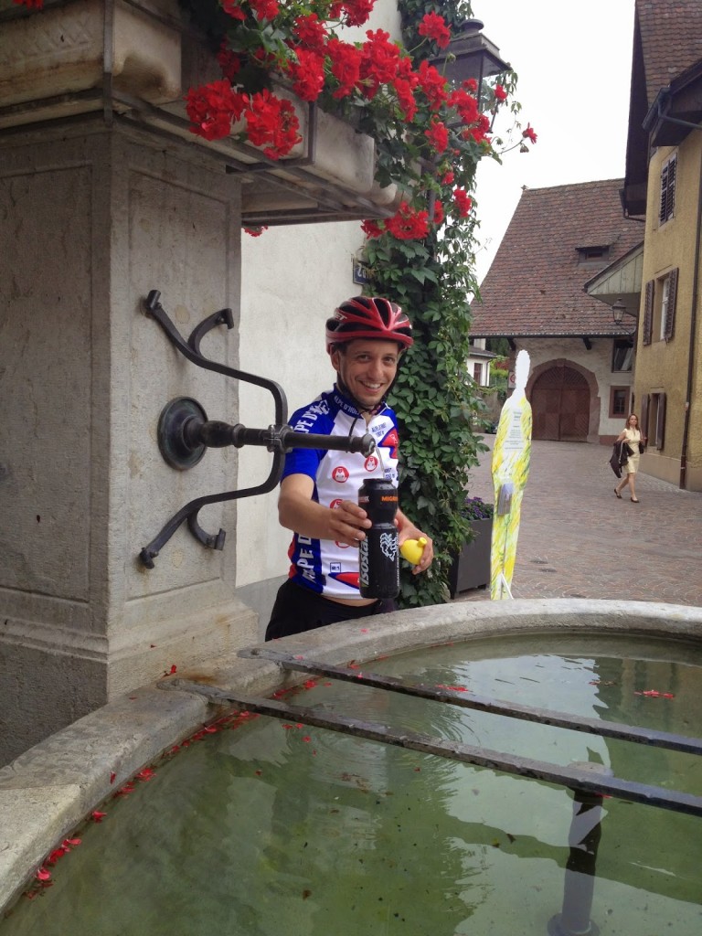
Ben said from Rheinfelden it would be 15 km more – all uphill. Before leaving, we found a water fountain with potable water and filled our bottles.

Ben, filling his water bottle

Once we left Rheinfelden we were on a somewhat traveled road until going through Magden. And there the climb began. In earnest.

Bridge over River Rhine at Rheinfelden Germany and Switzerland

In the morning we had been riding on dead flat roads along the Rhine in Basel and in France. But in Germany we picked up some hills in the Black Forest and now we had a small mountain to get over. My Garmin was showing it was mostly 11-12%. This was a mini Mt. Washington – 12% but for only two kilometers and not 12 kilometers.

Ben at the summit before Sissach

And it was raining. Cloudy in the morning and sunny in Germany, the rain was coming down in Switzerland. But it felt good on the climb. Once over the top we had 3k back to town. I was able to drop the bike, change, and catch my train, all in a matter of a few minutes.

Meanwhile, back at the bike shop

Three countries on a bike. What a great ride!

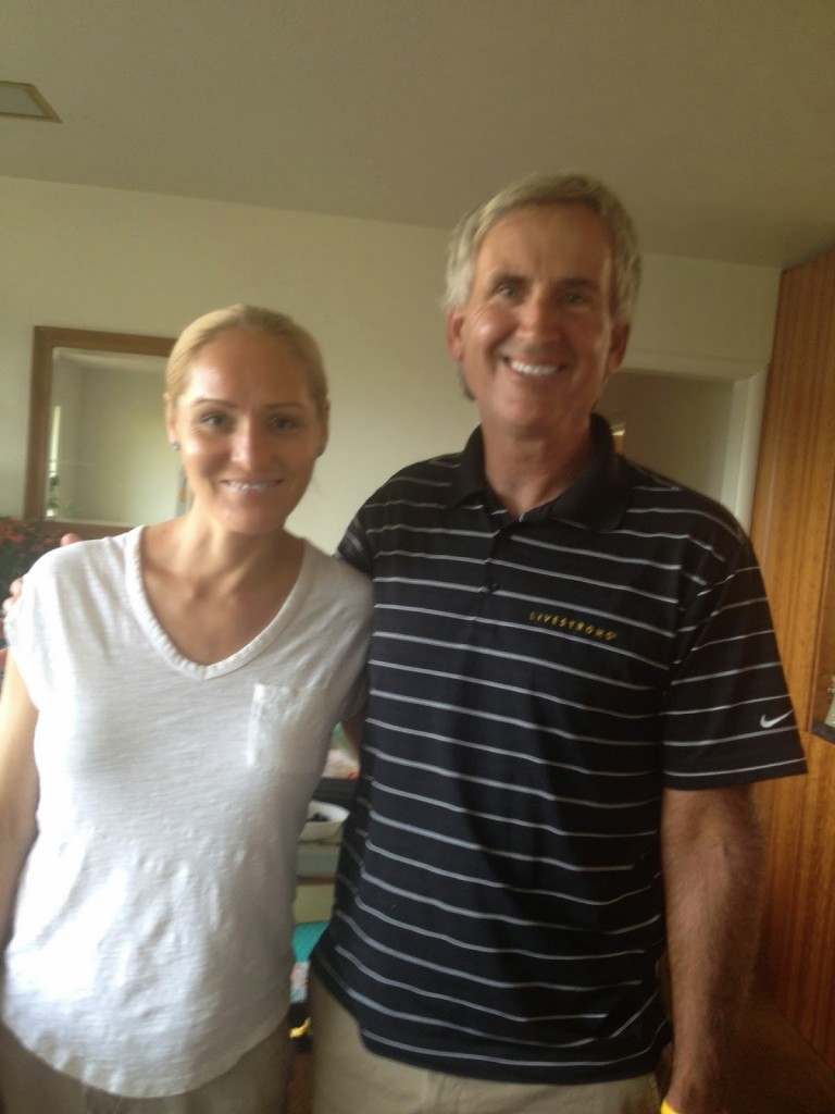
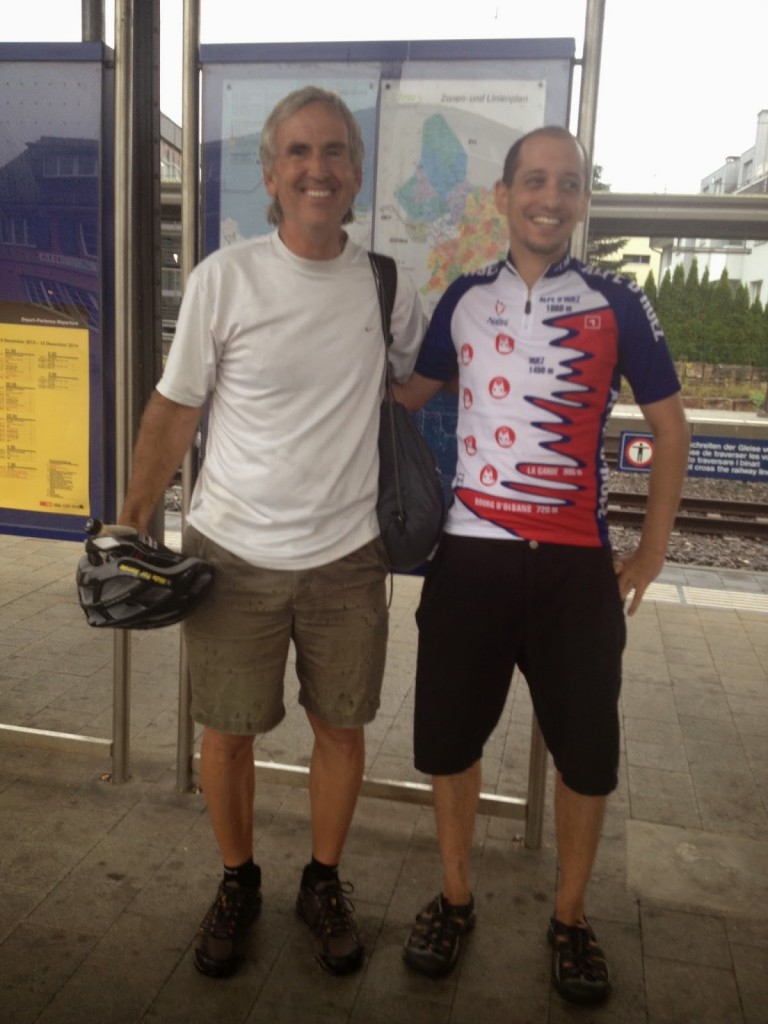
Barry and Ben
Barry and Ben

A big SHOUT OUT to Ben and [Friend}, my hosts on this day. They were both exchange students in the 90s who I have kept in close contact with. And on this day they were both texting each other as to my whereabouts. I was staying with [Friend] and she seemed very worried I would miss my train connections to Ben. And when I left Ben texted her with my EPA. Love you both!

Verified by MonsterInsights