Texas 4000
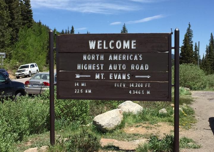
I met the Rockies group outside of Denver and rode with them for a day.
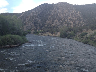
Carbondale
Day 0 – The first day of Ride the Rockies. Check-in, go for a ride, relax.
Colorado National Monument
Day 1 of RTR, we would do a loop ride through Colorado National Monument
Colorado Springs
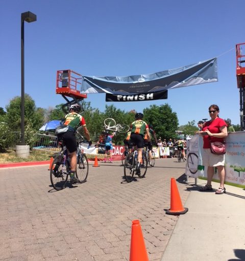
It was the final Day of Ride the Rockies and should have been an uneventful ride to Colorado Springs. It wasn’t.
Alamosa
Day 4 of RTR featured a big climb up Wolf Creek Pass. Also, I hit 54 mph on the descent.
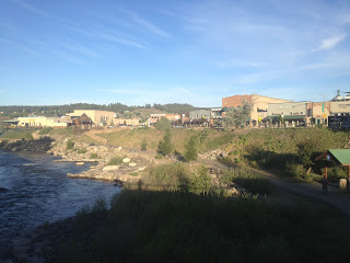
Pagosa Springs
Day 3 of RTR. Durango to Pagosa Springs which, as the name implies, is a town full of springs – hot ones.
Recent Comments