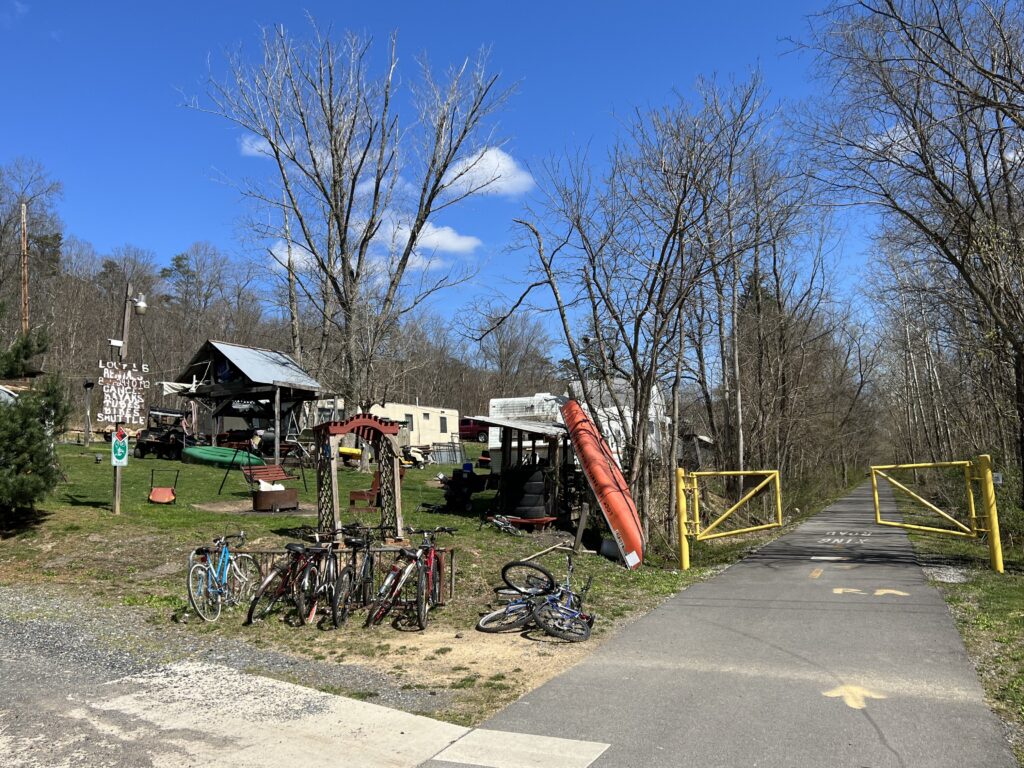
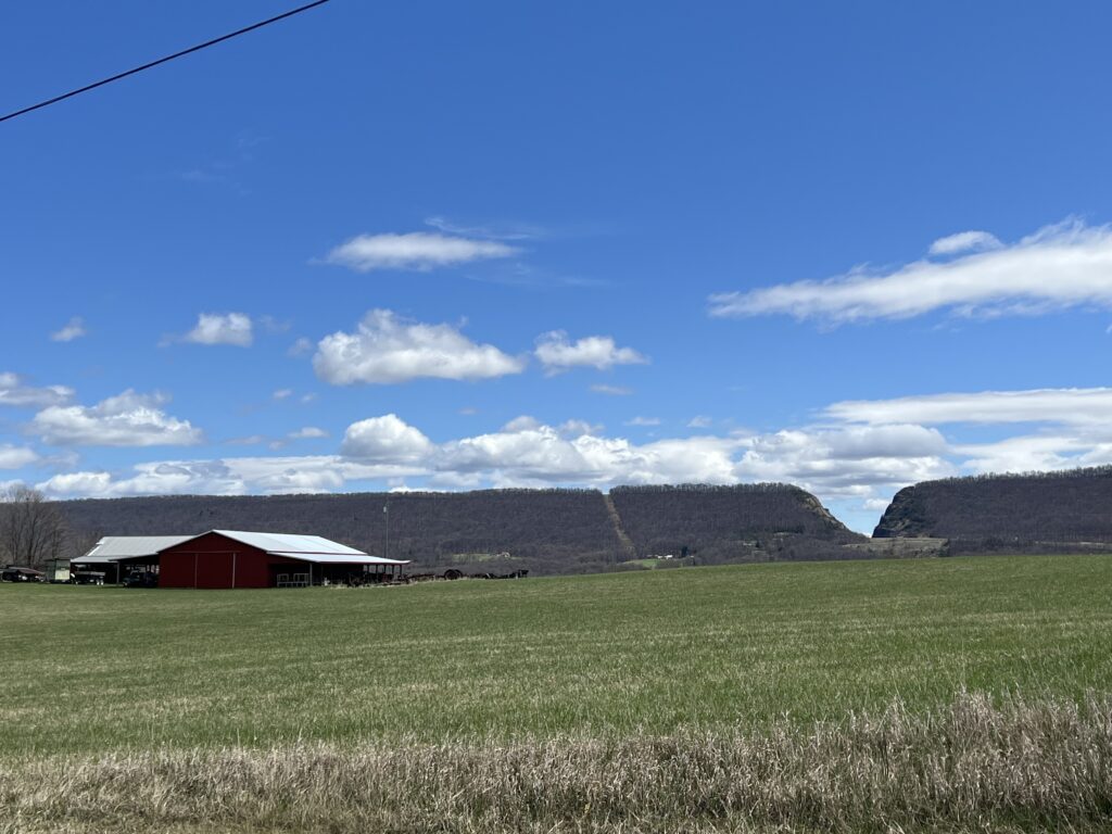
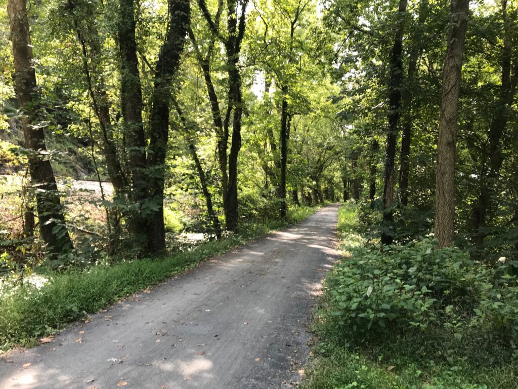
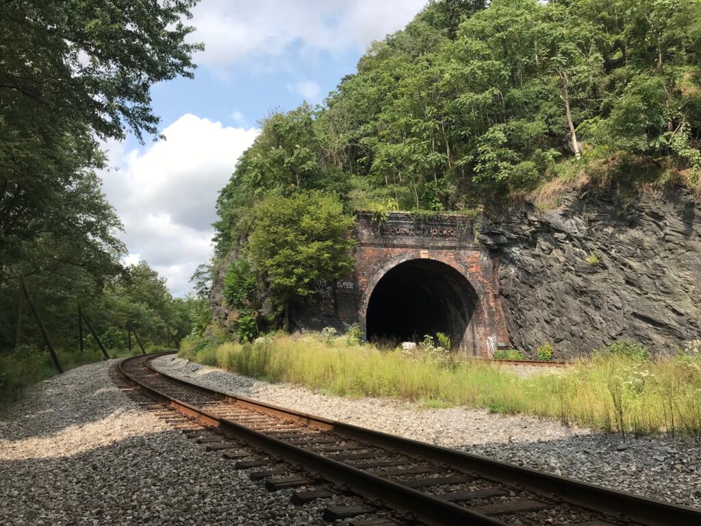
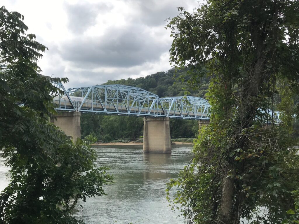
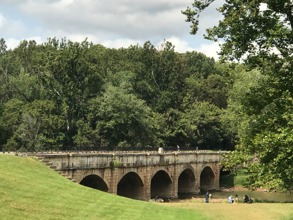
Sachs Bridge

THURMONT, MARYLAND

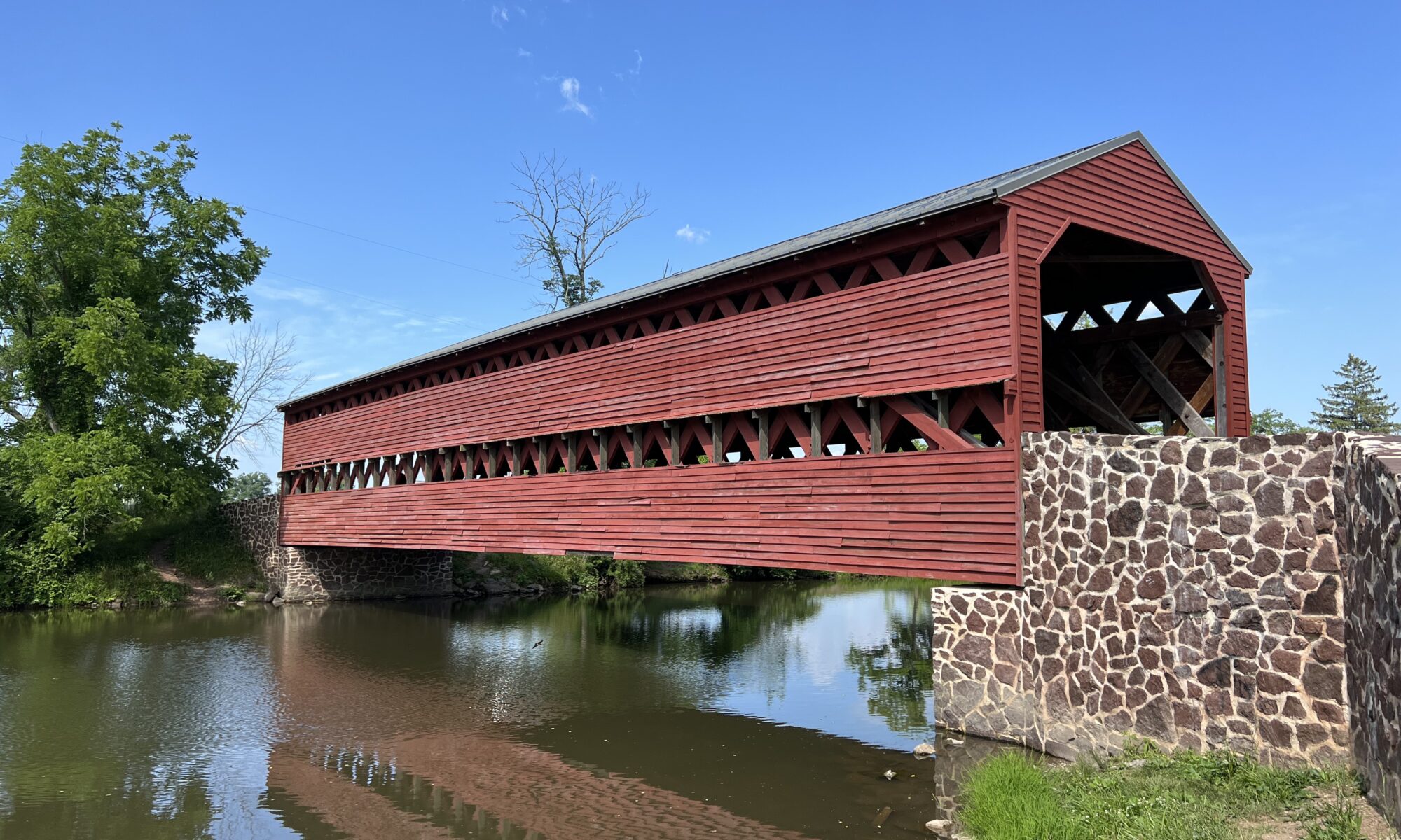
I had seen the Sachs Bridge a couple of years ago on a social media post and decided I should ride that bridge someday. That someday came today.

It was only a few weeks ago that Michele posted a three-covered bridge ride in Frederick Co., Maryland. I couldn’t make the original date but rode it the day before on my own. It was beautiful except for the four miles of getting in and out of Frederick which was a bit sketchy with traffic. But the roads and scenery are great.
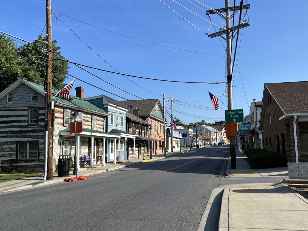
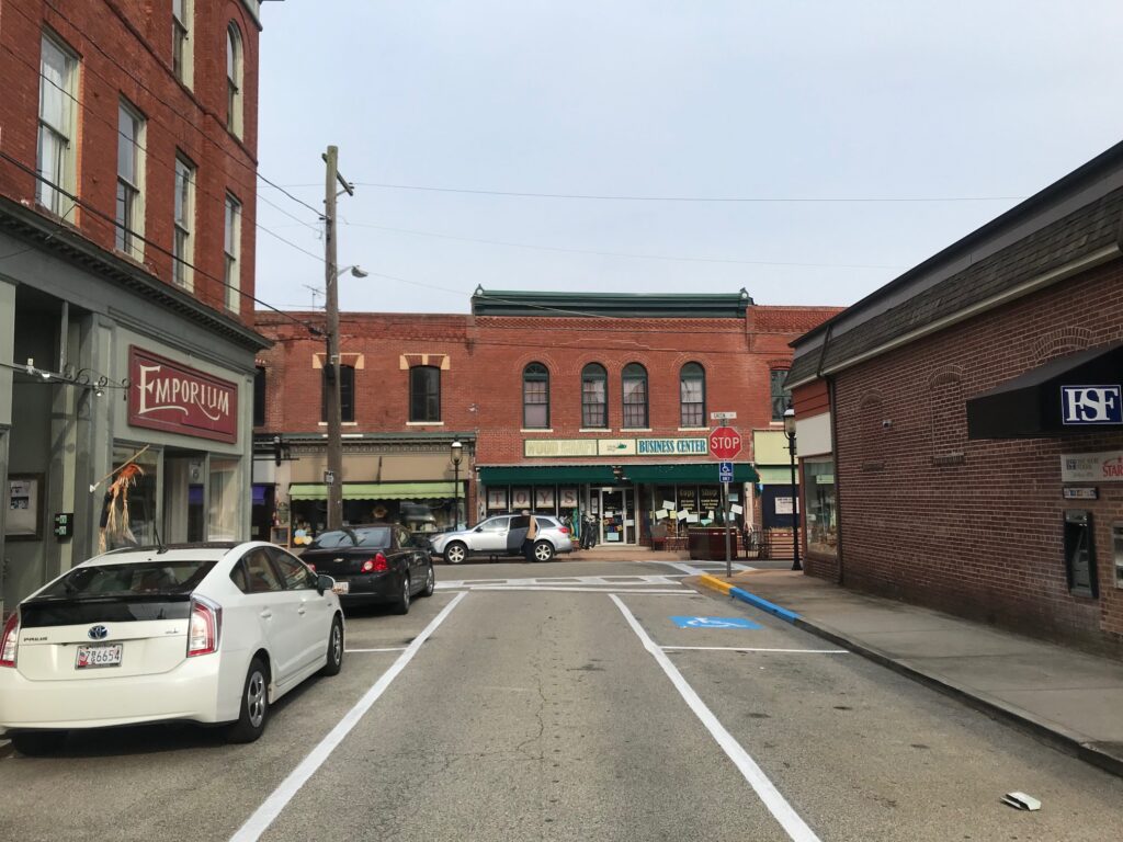
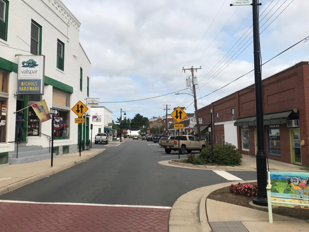
Downtown Thurmont

The original ride was postponed due to weather and the next week I jumped in with the original group. Six of us rode the three-bridge route. I was the only one that had ridden it before and they seemed to appreciate someone with knowledge of the route being along for the ride.
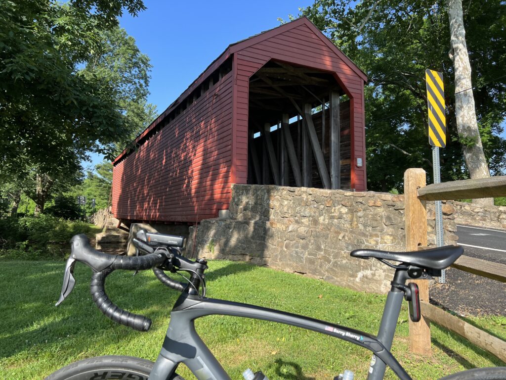
Loys Station Covered Bridge

My own bit of adventure involves finding a route someone else has ridden, downloading it to my Wahoo bike computer, and following the roads. Even more adventuresome is simply mapping out a route and taking my chances.

The big problem in this adventure-seeking is one does not know the surface/condition of the roads or the traffic. We try to alleviate this by avoiding major roads and then we cross our fingers and hope the route is good.
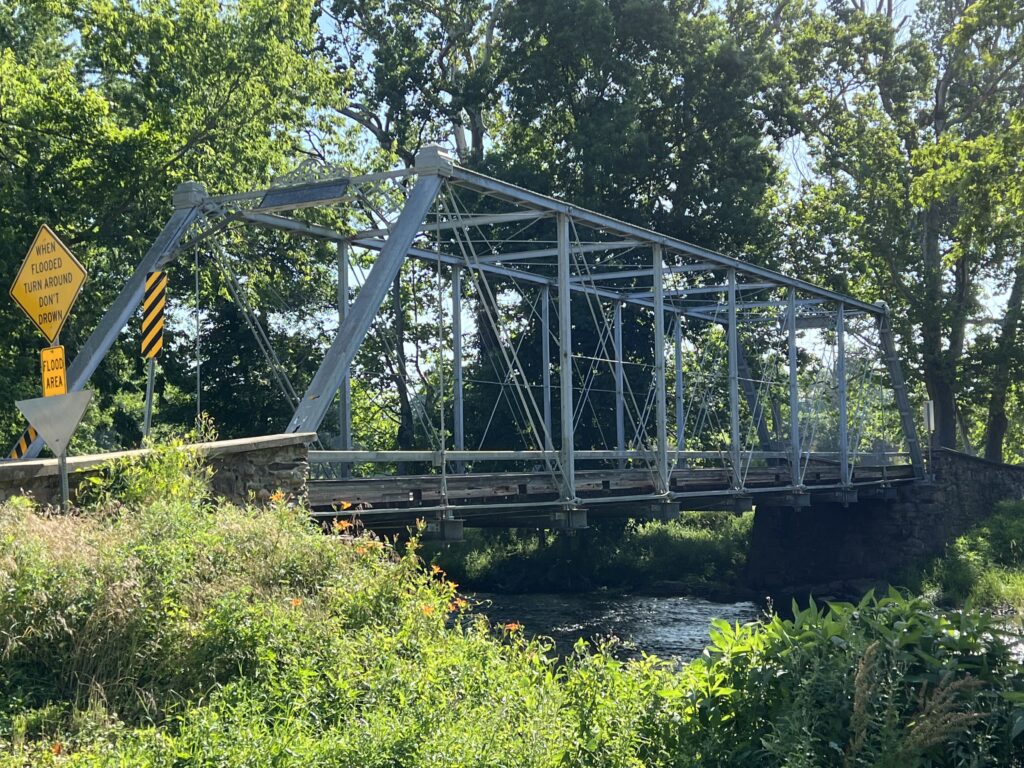
Bridge at Simmons Road over Toms Creek

I was coming home from an Ohio trip and made a diversion to Thurmont which is only 12 miles north of Frederick. I parked at the Thurmont Community Park which has restrooms. I was ready to roll out by 8:00 a.m. on a day in which temperatures were to reach the high 90s.

I headed out of town on what are now familiar roads. At 3.5 miles out of town, I had mapped out a left turn on what I learned was a dirt farm road. I kept going past it. No problem. I took the roads I knew to Creagerstown and to the first bridge of my new three-bridge ride, Loys Station Bridge.
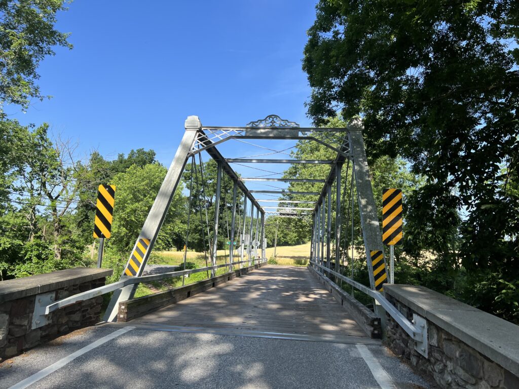
Bridge at Simmons Road over Toms Creek

Having been here twice in the last month there was no need to stop for a photo op other than to grab a quick photo. Then it was headed north on new roads.
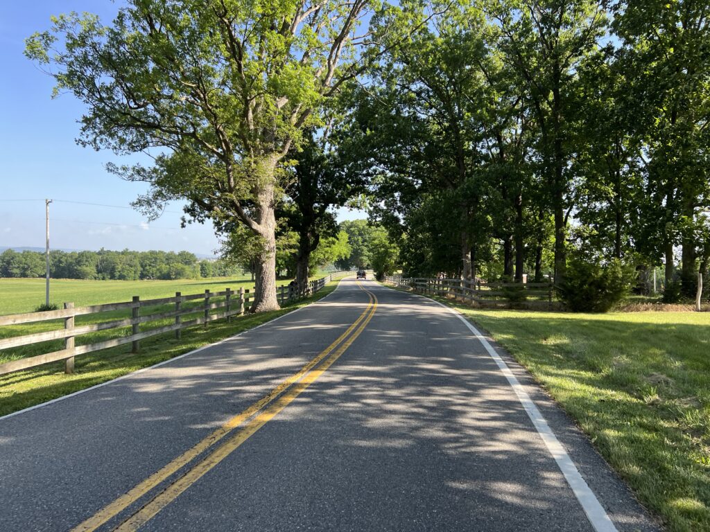
Toms Creek Church Road

The roads are so nice here. The pavement is mostly excellent and these roads have so little traffic. A guy on a Trek Emonda caught me and we rode together for about two miles. He was headed to the Catoctin Mountains and then back to Frederick. I was headed north. When I told him I was from Virginia and stopped just for a ride he said “I like that. I really like that.”
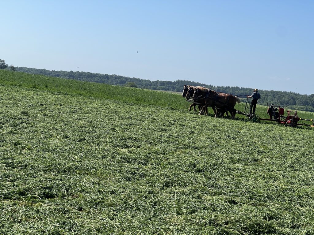
Passing the Amish in no. Frederick Co.

At Simmons Road (MP 15) where it crosses Toms Creek, he said “I bet you turn right up here.” I said, “yep.” I turned and that was the last I saw of him.
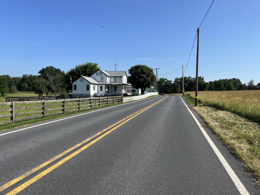
Motters Station Road

All the roads were great. At MP 21 I crossed into Pennsylvania with no signs. I mean, there wasn’t a “Welcome to Pennsylvania” sign. I saw the pavement had changed and I noticed the first parked cars at a farm with Pennsylvania plates.
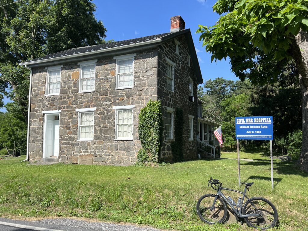
Civil War Hospital, Gettysburg

At MP 26 I crossed US Rte 15 via an overpass. The next mile carried slightly heavier traffic into Gettysburg (three miles farther) but I turned off after one mile. I went through part of the hallowed ground that makes up Gettysburg National Military Park.
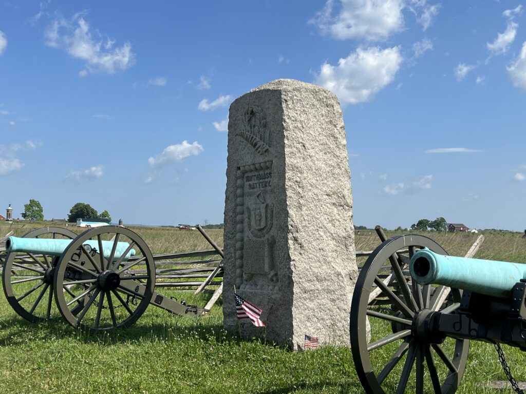
Gettysburg National Military Park

I was on Millerstown Road. This was a road I had ridden from the opposite direction five times in the Civil War Century. Instead of following the road as it became Pumping Station Road, I turned onto Red Rocks Road followed by Water Works Road.
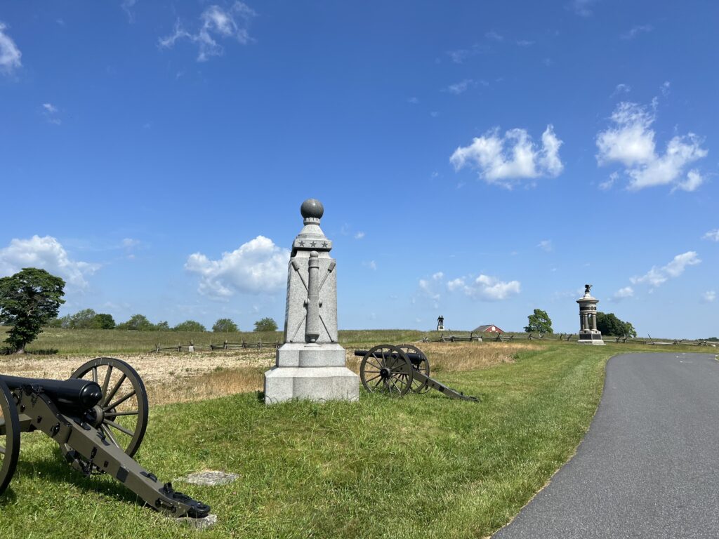
Gettysburg National Military Park

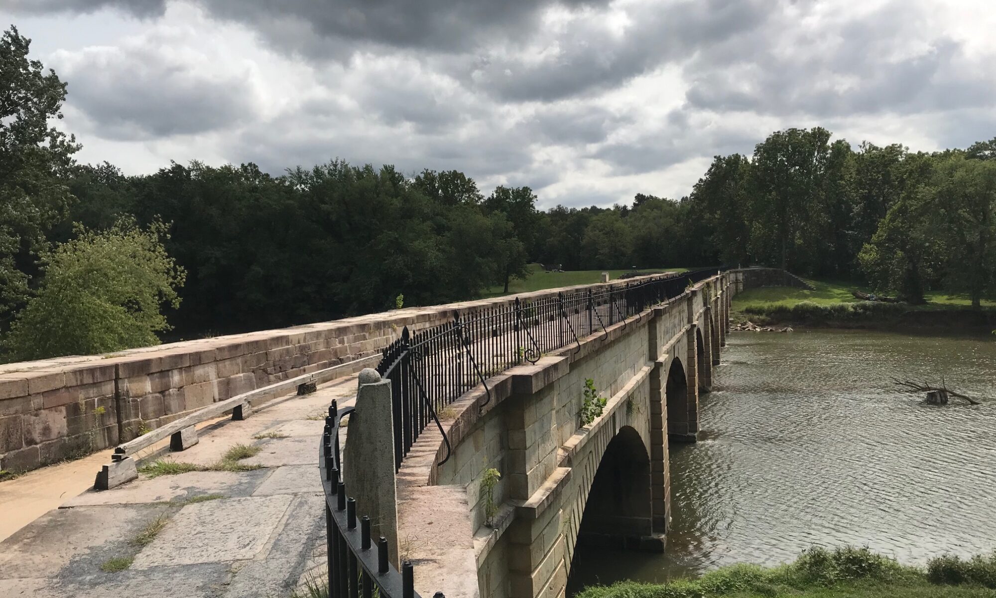
Water Works Road has an old bridge with bollards to keep vehicle traffic off it. I could and did cross on my bike. That took me to the Sachs Covered Bridge. And what a bridge it was.
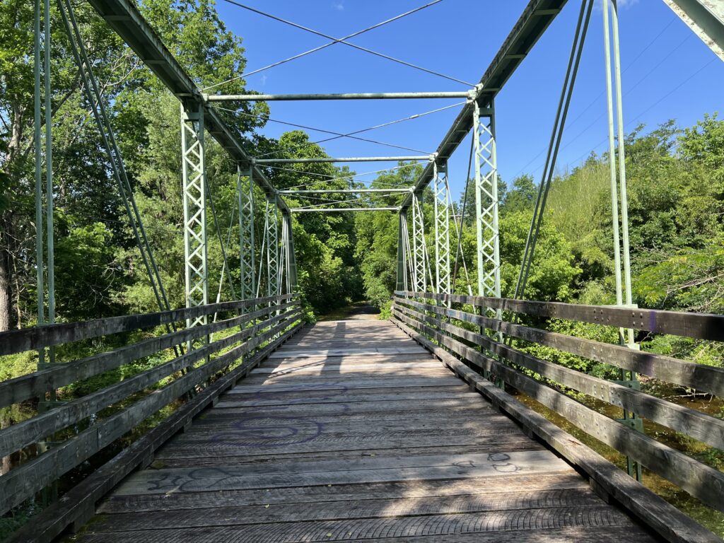
Waterworks Road

Built in 1852, it is one of the longest bridges in Pennsylvania. It is in great condition (rebuilt after a flood) but only open to foot and bicycle traffic.
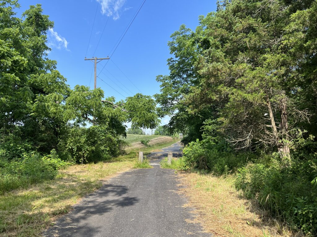
Waterworks Road

At MP 30 I was 60% done with my ride but also felt that it was pretty much over. The highest point was yet to come but this was rolling terrain and not mountainous. But each little rise would take its toll in the heat.
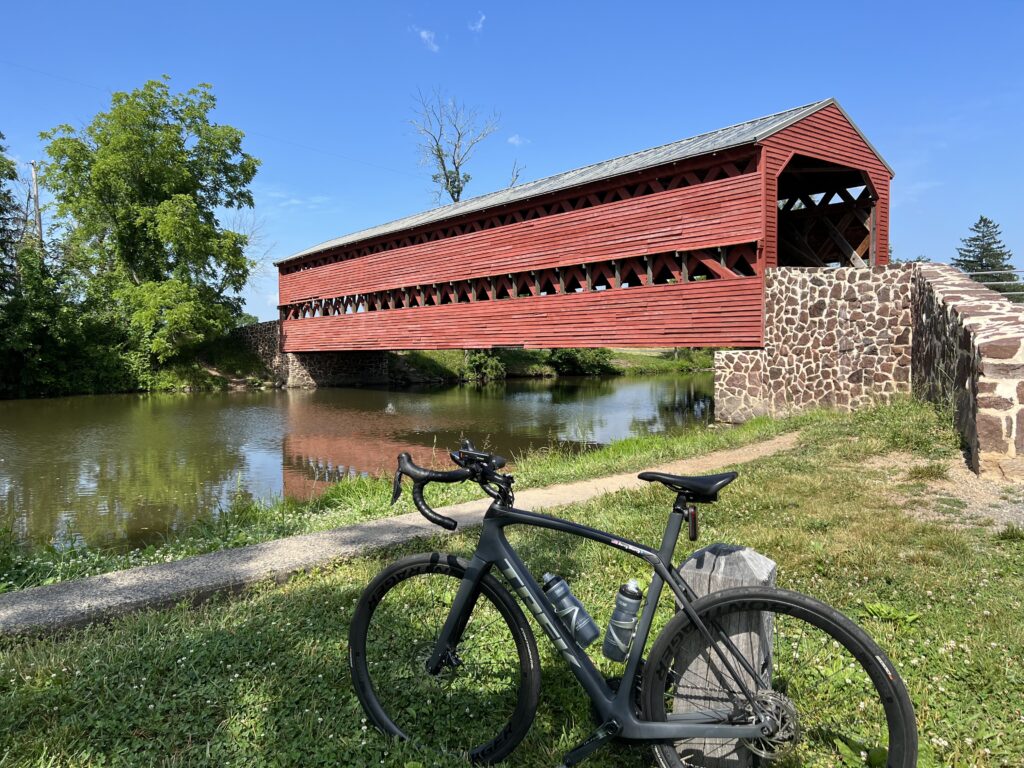
Sachs Bridge

The transition back to Maryland was the same as entering Pennsylvania. Pavement change. Different license plates. And that was it.
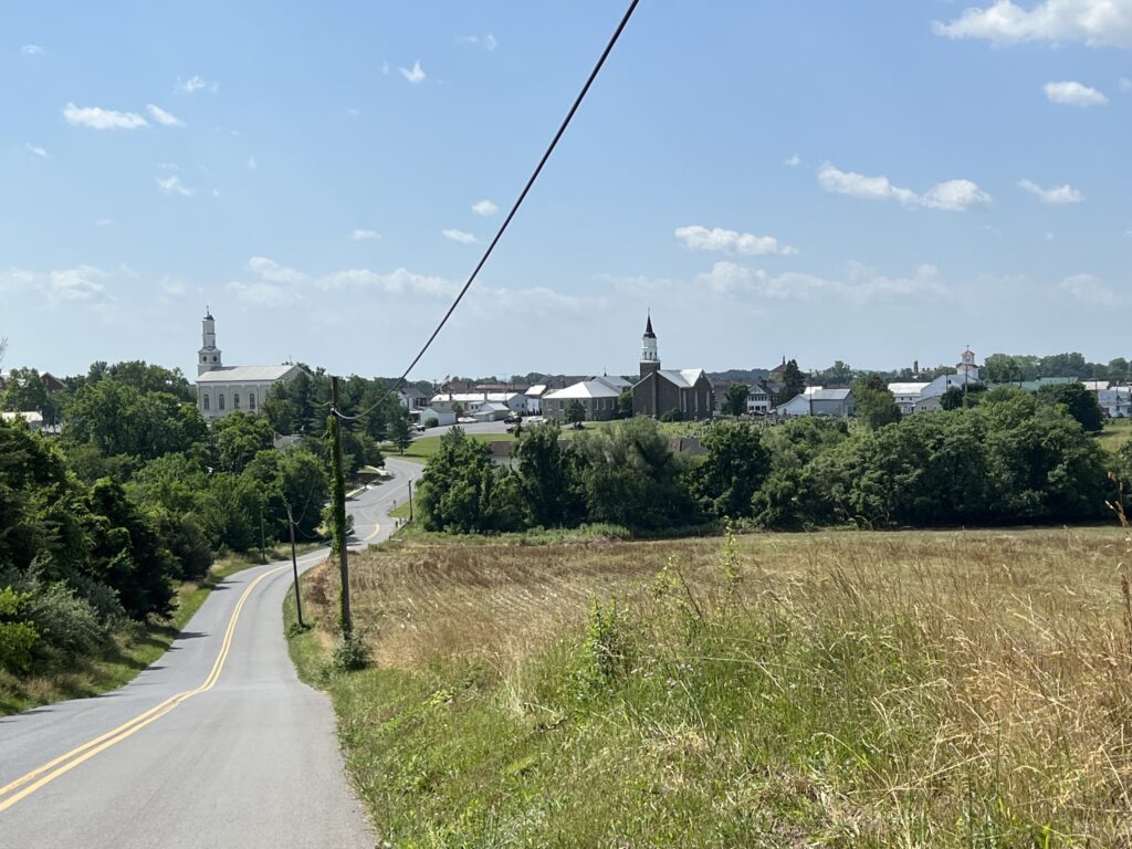
Emmitsburg, Maryland

I approached Emmitsburg and for a moment it looked like a scene out of France. A winding road next to a field. Off in the distance, the churches of Emmitsburg formed the skyline. I needed a French croissant.
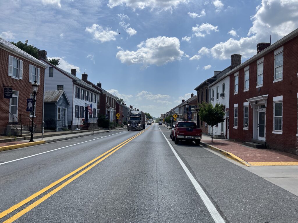
Emmitsburg, Maryland

Actually, with only 11 miles to go, I needed water. I rolled through downtown looking for a convenience store but didn’t pass any although they have them. I didn’t worry about it because I knew that Roddy Road Bridge had a park.
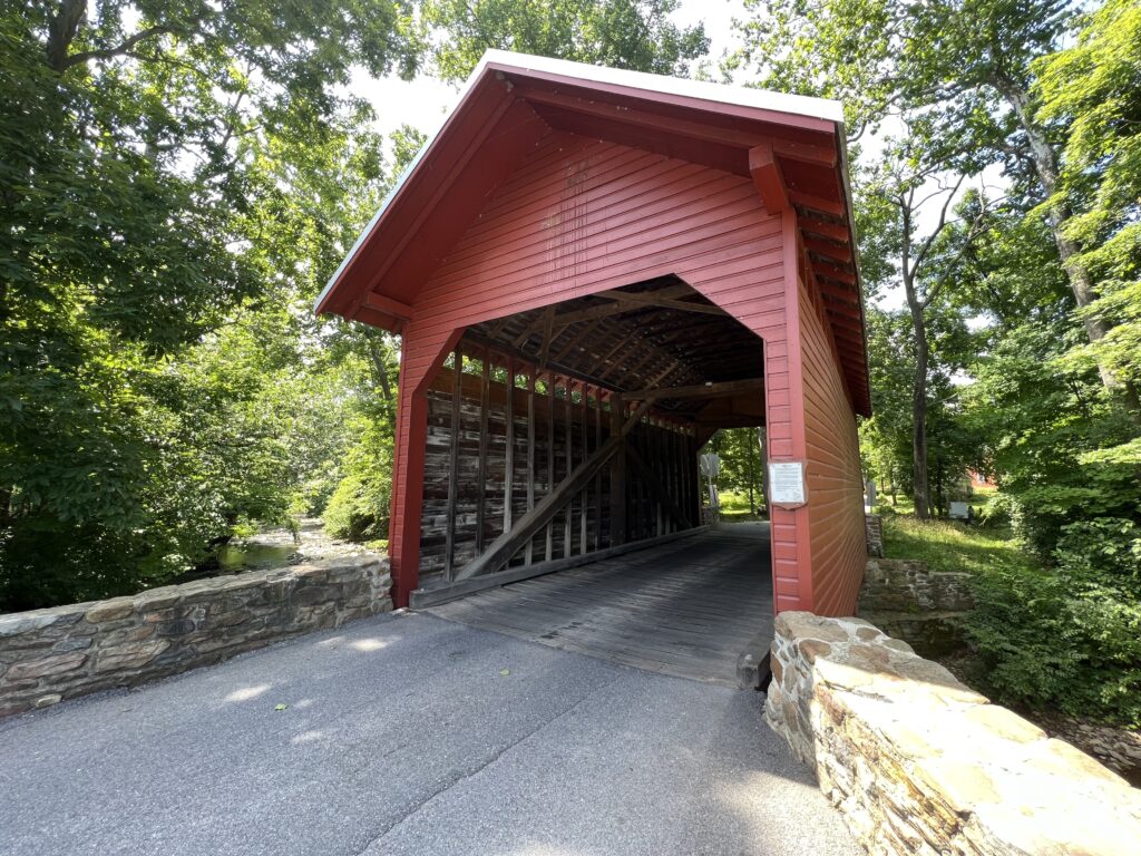
Roddy Road Covered Bridge

When I got to the park I discovered they had no water. Just a picnic shelter and a port-a-john. Or outhouse. Whatever. It was just 2.5 miles to the car from there. Suck it up.

I got back to the car where I had a cooler packed from my trip. In it was ice-cold water and ice-cold Coke Zero. I was refreshed.


EPILOGUE – I did not research the history of Sachs Bridge before I rode. It is routinely listed as the most or one of the most haunted sites in Gettysburg or among bridges. Three Confederate soldiers were hanged here and are said to frequent the bridge and visitors. Users can do their own search.
Sideling Hill the Hard Way

HANCOCK, MARYLAND

It was 1974 when I first drove National Highway (aka U.S. Rte 40) up and over Sideling Hill. It is a four-mile climb and my little car struggled to go up in 4th gear. Well, it never did. Sometimes third gear and always downshifting to second gear to take the horseshoe curve at the top.

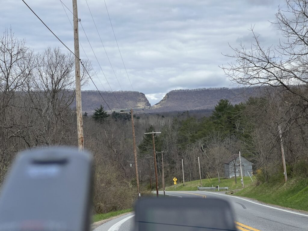
On US 40. Sideling Hill cut for I-68 is in the background (Zoomed)

Interstate-68 was constructed and finished, at least parts, by 1991. It which followed some of old US 40. The most impressive feature on I-68 is the cut in the mountain so the highway could go through a gap instead of crossing all the way over the top.

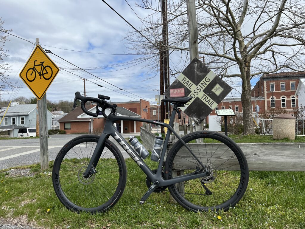
Crossing the Western Maryland Rail Trail, Hancock, Maryland

There are only a handful of crossings over this ridge. One of those in Pennsylvania near Breezewwod is now the Abandoned Turnpike. The tunnel is one that I have ridden through probably a dozen or so times.

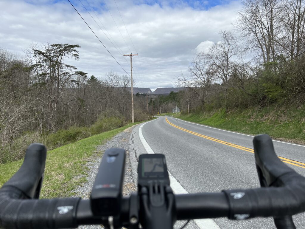
Old U.S. 40. The cut in Sideline Hill for I-68 is far off in the distance.

But today would be about the climb. I parked at the C&O Canal parking lot in Hancock. I began with a short climb and the first four miles of the profile looked like sharks’ teeth. At Mile 4 the climb began.

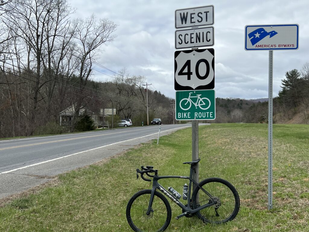
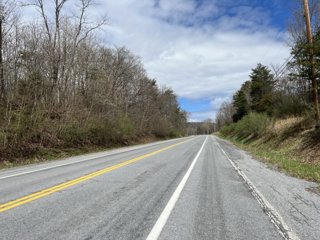
Old. U.S. 40 (now Scenic 40)

Although the speed limit was 55 (or was it 50?) mph the very few cars all gave me wide berth. Or often it wasn’t necessary as there was a wide shoulder I could use although it still had some winter dirt in the lane.

The climb on Scenic U.S. 40

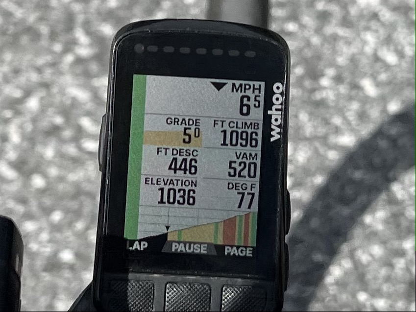
This was my first real use of the new display of my Wahoo. As it displayed the profile of the climb each section was color-coded as to grade. That was pretty cool.

Wahoo display of the gradient ahead. The graph segments are 1/4 miles (400m).

I didn’t race up the climb but kept a steady pace. I concentrated on remaining seated as I often pop out of the saddle more than most cyclists. I would say this was relatively easy. I also left room for improvement if I would do this again.

The top of Sideling Hill

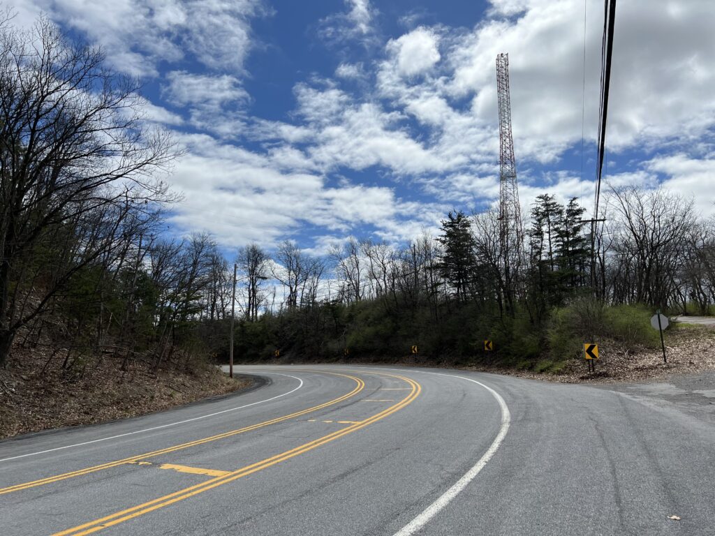
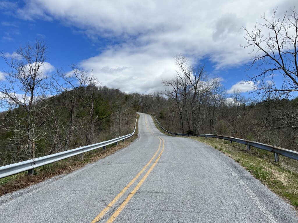
Once over the top and a quick stop at the scenic overlook, I began the descent and squeezed the brakes. It was windy, the road, while straight, wasn’t smooth, and there was a sharp turn-off just one mile down the mountain. Once on McFarland Road, I needed to squeeze the brakes a bit tighter. The road was steeper, 10% in many parts, and technical (lots of curves).

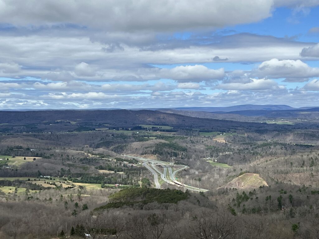
View from top of Siedling Hill, Scenic U.S. 40, looking was towards I-68.

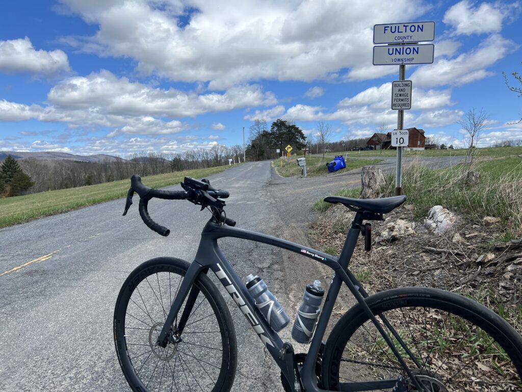
I had mapped out a Pennsylvania portion and followed High Germany Road. It was only two miles to the state line but it was more climbing to the Mason-Dixon Line. The border was not marked other than by a Fulton County sign.

Mason-Dixon line. Really.

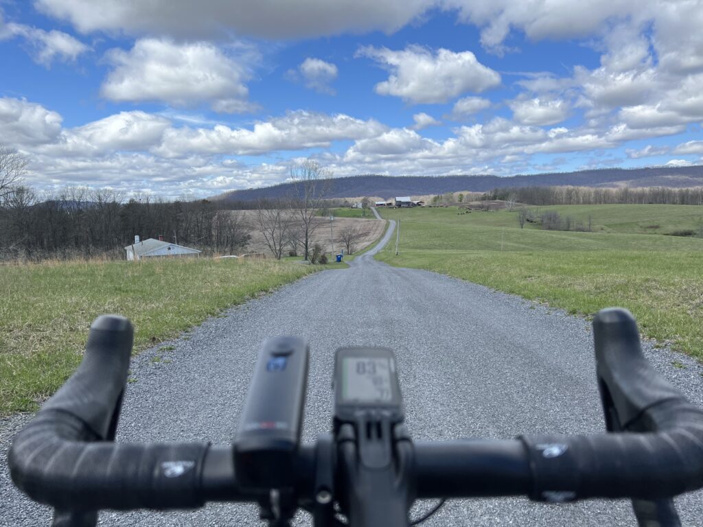
I turned onto a gravel country road which was okay because I expected some gravel. I did not know this road was not it. A review of the map shows this wasn’t supposed to be gravel. It should have been paved (according to the map).

High Germany Road

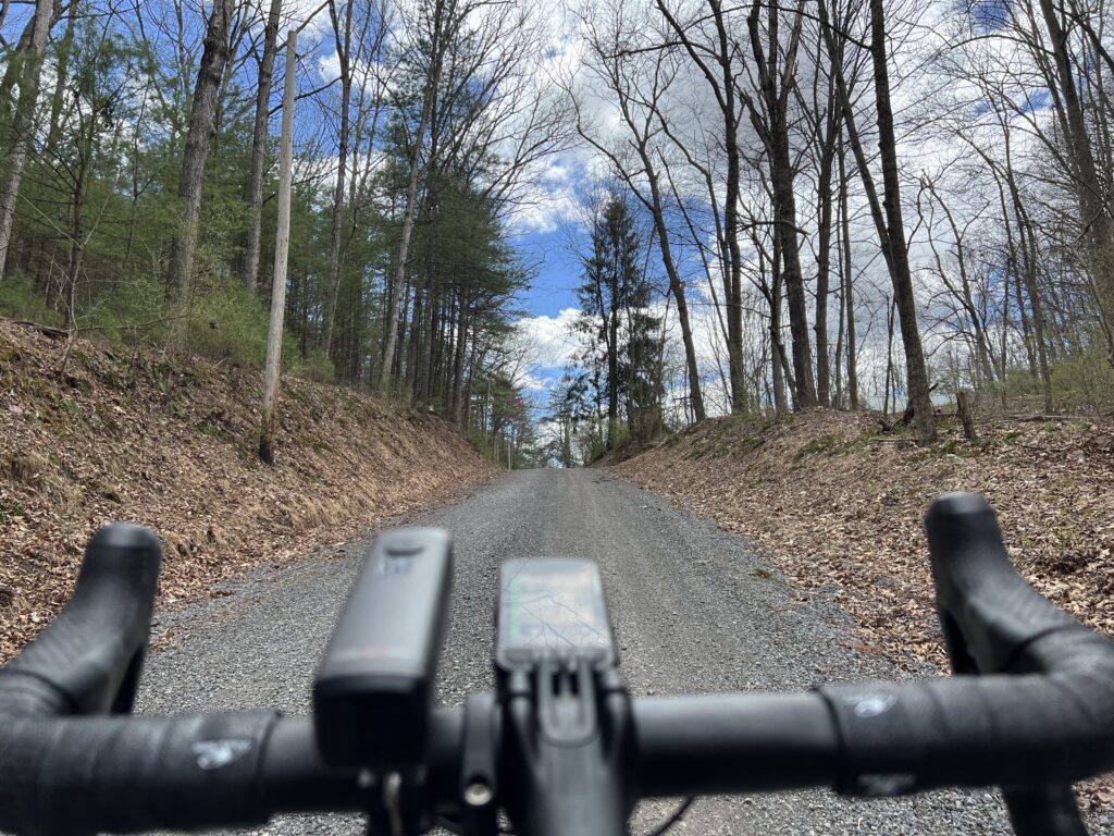
And then things started to unravel. I followed Buck Valley Road and my computer indicated to bear left which was a gravel road. I chose to stay on pavement until Wahoo was determined for me to make a hard left up a gravel road.

It’s gravel and it’s pretty.

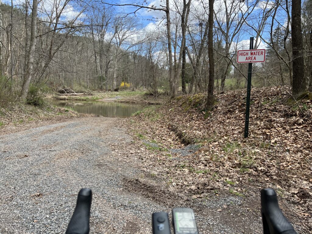
It was sketchy and I was going deeper into the woods. I came to Sideling Hill Creek and there was no bridge. No crossing. Wahoo wanted me to follow a hunting trail but I turned around.

I was a little bit lost and a little bit scared. I was out of food and my water was low. I hoped for a cell signal enough to find a map and was able to get one. I could see the route I needed to get me to Orleans.

The road ends here. Literally.

When I came to the climb to Town Hill I decided to forgo it. Wahoo said my next turn, here, was in three miles so I knew the climb was 1.5 miles. My legs didn’t have it. I was beat up from 3500’ of gain in 25 miles. Since it was an up and back, or up and down, I decided to skip it and head back to Hancock.

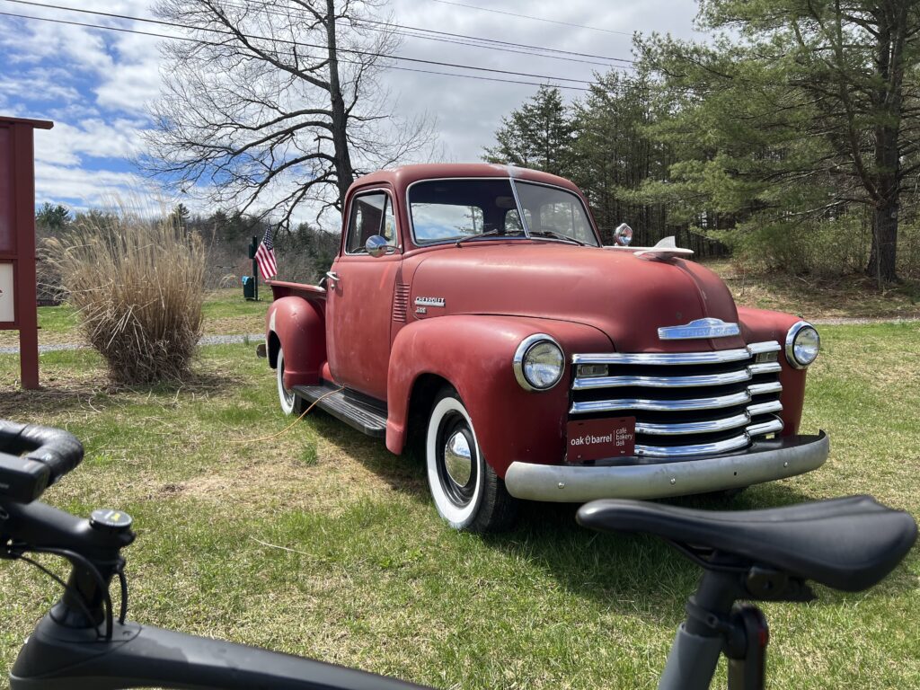
At the Oak Barrell Cafe and Deli, Little Orleans, Md. (Right off I-68)

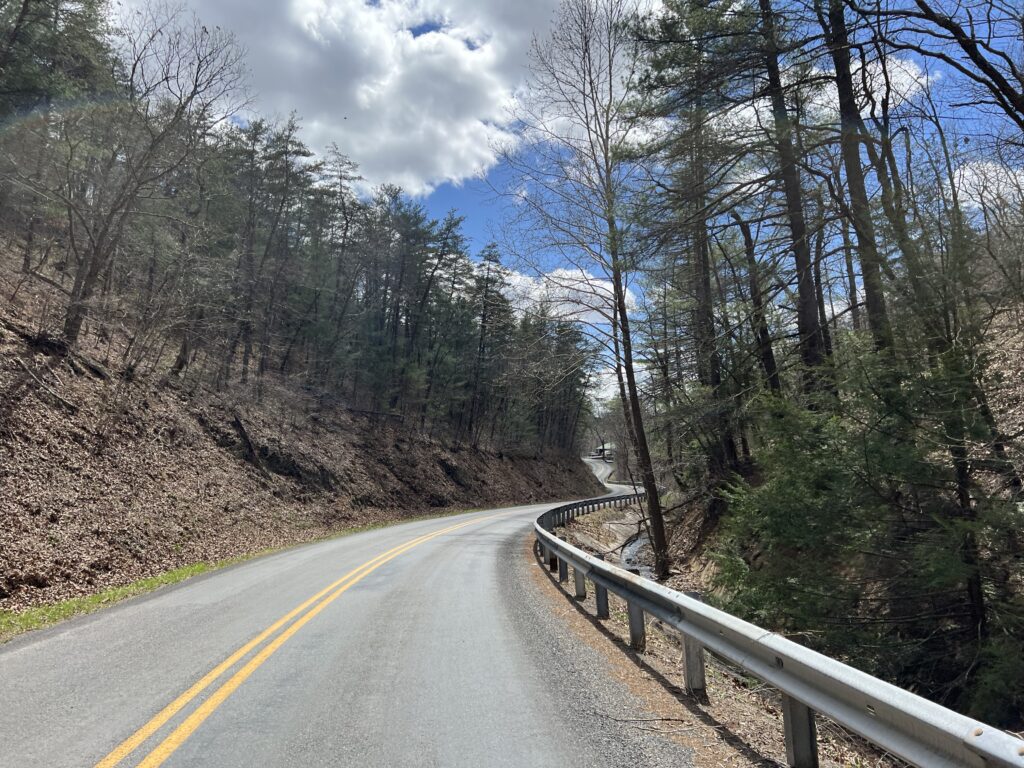
The Orleans Road was delightful. It was six miles but I don’t remember any traffic. The first three miles were rollers followed by a delightful three-mile downhill. It was probably a 4-5% downhill – not too fast where I needed to touch the brakes. It was the most enjoyable part of the ride.

Orleans Road

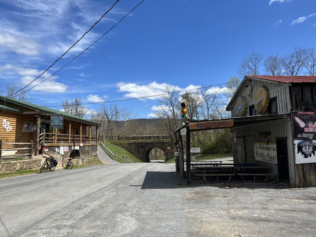
I came to Orleans and passed Bill’s place. I recognized it from my Pittsburgh to D.C. trip in 2004. I had planned my day on stopping here for lunch and I picked the week he took his summer fishing vacation. And it was closed. Today there were two cyclists here, outside. It may have been closed today too although more likely they were just milling around before leaving.

Bill’s Place, Little Orleans, Md.

I had mapped to follow New Germany Road and the one-mile climb away from the Potomac River did not look very appealing compared to the alternative. The alternative was the smooth-as-silk Western Maryland Rail Trail extension. I hadn’t been this far and hoped that I would have 18 miles of paved trail back to Hancock.

Western Maryland Rail Trail

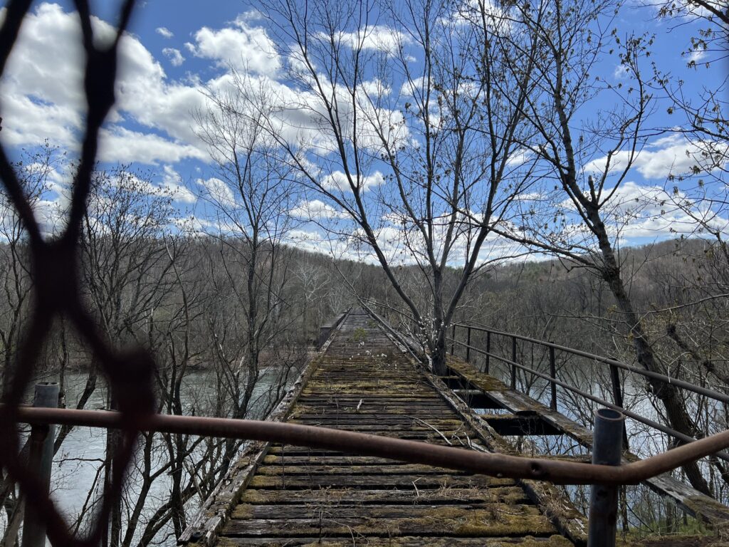
I jumped on the trail and went the wrong way. Not crazy. I just wanted to see how far it would go in the opposite direction. Not far was the answer. It was less than a mile (0.8) when it came to the Potomac River. There is a beautiful bridge here waiting to be converted to trail use but it looks like it might remain closed forever. Apparently, West Virginia, on the other side of the bridge, is not real thrilled about spending money expanding the trail into the Mountain State.

The end of the line – Potomac River, Little Orleans, Md.

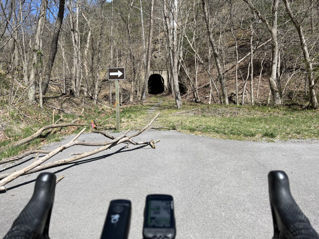
After turning around I followed the trail a mile and a half where it ended at the Indigo Tunnel. A ramp takes users down to the C&O Canal Towpath where one must ride a little more than two miles to pick up the rail trail again.

Indigo Tunnel

Paving the trail and opening it through the tunnel seems like a simple proposition. Except there is a colony of endangered bats that live in the tunnel. So for now the bats win and that’s okay with me.

C&O Canal

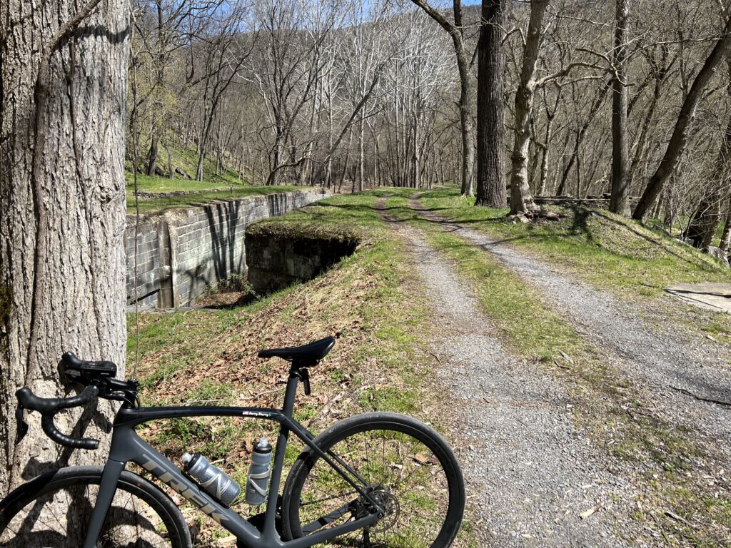
Except that I was riding a road bike today and the towpath is the towpath. Suggestion to the National Park Service. How about paving the two miles of the twopath so the users of the rail trail will have a paved trail the entire way?

A bike-kayak-everything rental on the WMRT

One back on the trail it was familiar territory. When I first started riding this trail the eastern portion was very rooted. This is from Hancock (MP 10) to Big Pool (MP 0). That was the first section completed. The western section, up to MP 22, was newer and the tree roots had not started peeking through the surface of the trail. That has changed in the last few years and today it was very rooted, especially near MP 20.

A look from the western side of Sideling Hill

But it was sure nice to have almost 30 miles of flat after all the climbing. The legs were sore but I avoided any mechanicals or crashes. Life is good!


IF I do this ride again. Pennsylvania is still doable but must stick to all pavement. Skip Schultz road by staying on High Germany Road to Harmonia Road. That probably would add 1.5 miles. Then stay on Buck Valley Road. There are no gravel shortcuts here. Lastly, make the climb to Town Hill B&B for the best views around. And take High Germany Road out of Little Orleans. It is a one-mile climb but followed by great downhills before merging back with the WMRT. It also avoids riding on the canal.


Sea Gull Century

SALISBURY, MARYLAND

Officially this was my seventh Sea Gull Century. Officially because last year it was canceled but I rode it anyway.

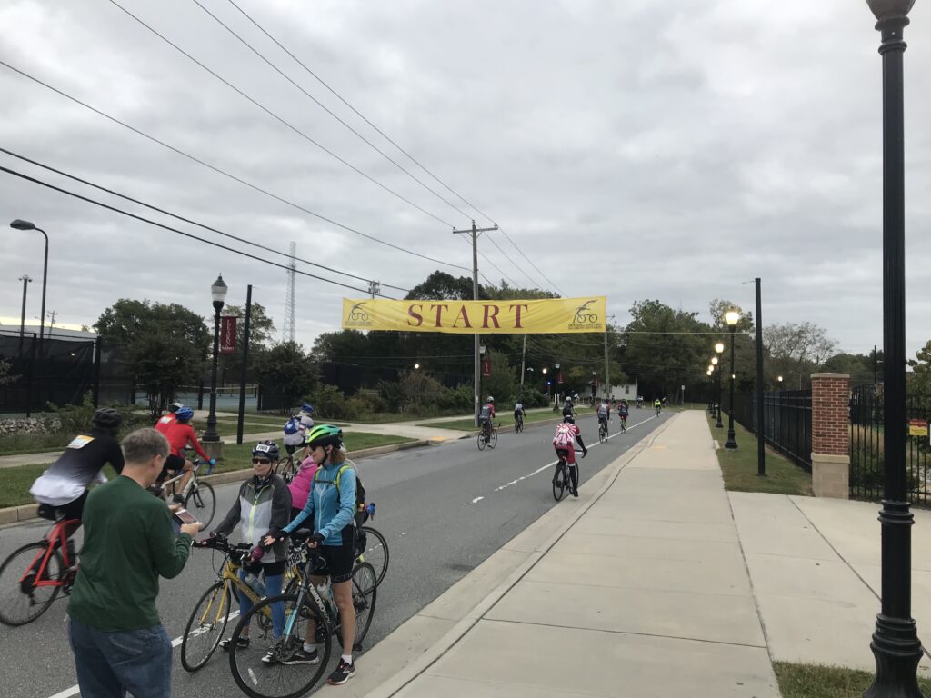
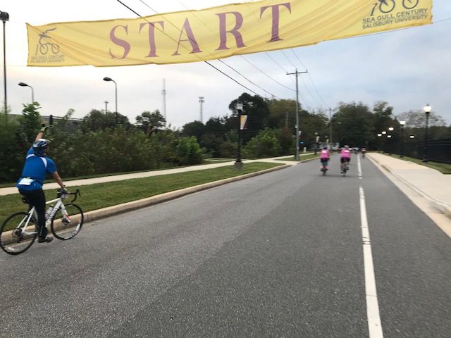
Start line in Salisbury

Each Sea Gull brings new experiences and memories. In 2016 I met and rode with some members of the Blair Cycling Club. In 2017 I just rode solo. In 2018 I basically towed Sandra for 60 miles and she never thanked me or said goodbye. In 2019 I met Andrew and Stacey which was refreshing. Last year was unofficial and backward.

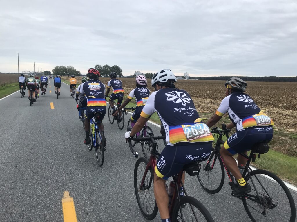
Major Taylor Cycling Club, Columbus

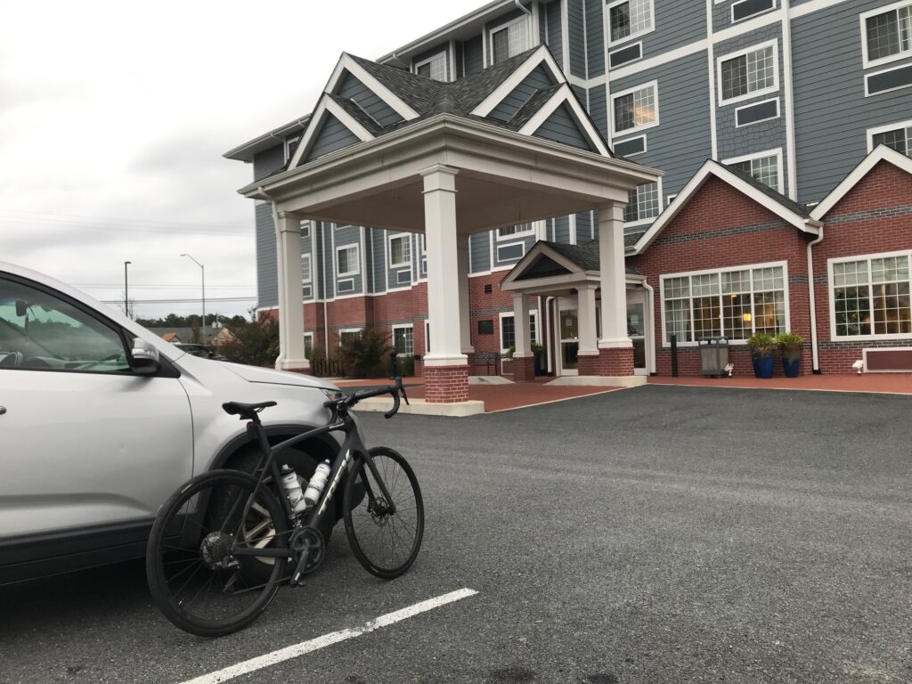
I didn’t know what 2021 would hold. Let’s start with breakfast. I stayed at Tru by Hilton in Georgetown, Delaware. Although the breakfast area was fully lit, they would not turn on the juice machine or pancake maker until 7:00 a.m. I left at 6:10 a.m.

Major Taylor Cycling Club, Columbus

I went through the drive-thru at McDonalds and went with the standby of hotcakes (no sausage). Actually, I was quite happy with the breakfast.

Snow Hill, Md.

In Salisbury, I parked on the street next to the stadium. I liked this spot. Much better than a big lot or a field. It was gray and 62º. I wore arm warmers and took a rain jacket which I would not need. I was wheels-down at 7:40 a.m.

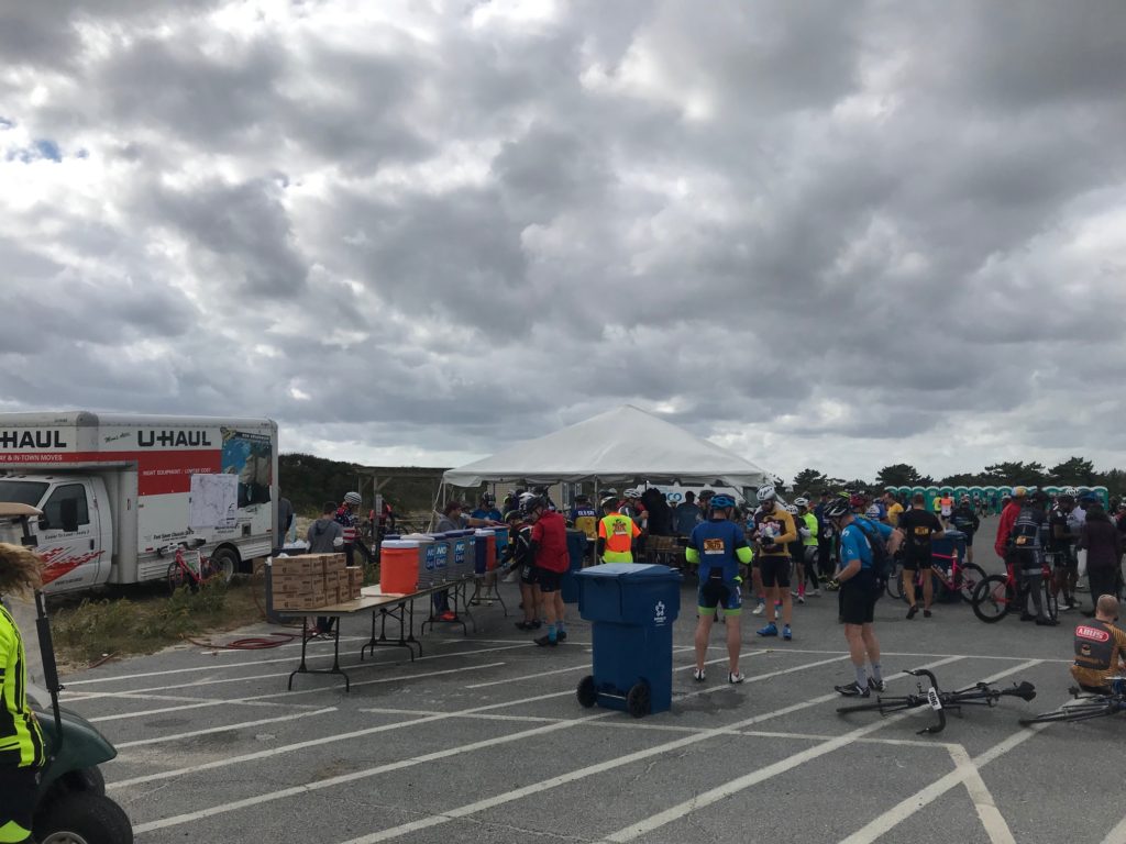
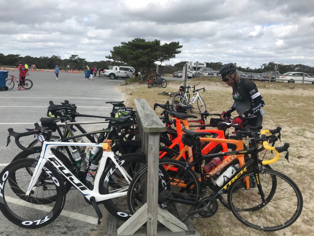
Rest Stop, Assateague State Park

Today I wanted to be real conscious at doling at my effort. Easy in the first third is the adage. And in the first hour, my perceived effort was a two (out of 10). My heart rate seemed to never go above 115. I was riding easy.

Snow Hill, Md.

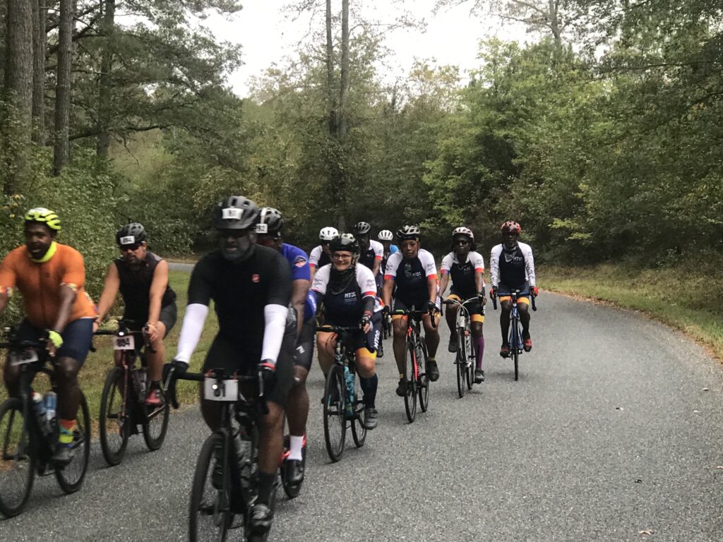
I looked for a place for a natural break and found it behind a truck parked in the woods. When I rolled out I jumped in with a Major Taylor Cycling Club group from Columbus. These people were truly delightful. I enjoyed riding and conversing with each rider.

Country Riding

This ride attracts a number of Major Taylor Cycling Clubs from all over the east coast. Most (all?) are people of color and today I found my niche riding all day with Major Taylor riders.

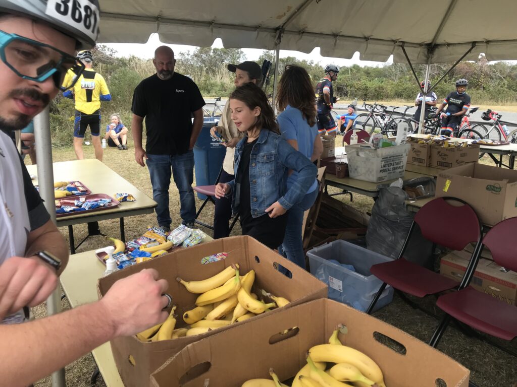
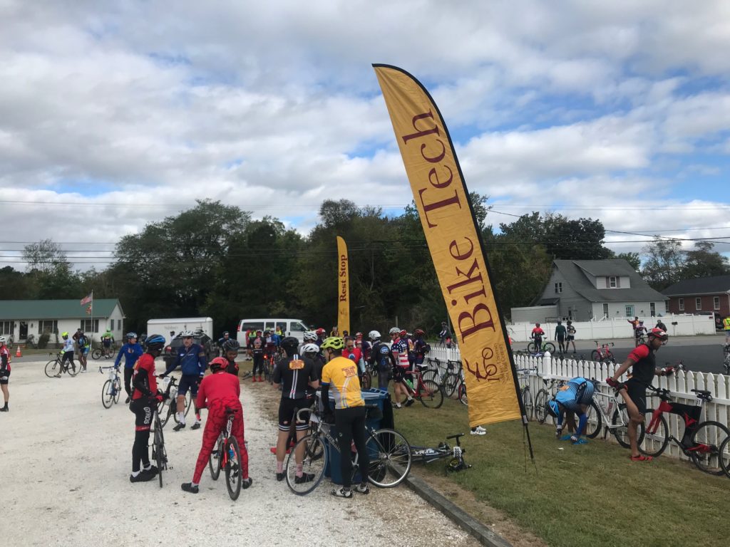
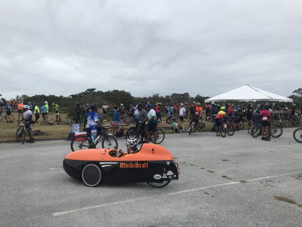
The first rest top was in Snow Hill, Maryland. The police had a separate route for cyclists to the rest stop and it reminded me of RAGBRAI. It was so crowded you (almost) needed to dismount and walk your bike.

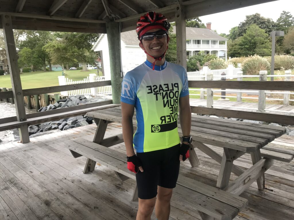
Please Don’t Run me Over

I had integrated with a group before the second rest stop. While almost everyone went to the rest stop I continued straight. I caught onto a new group. This one was a little awkward. I was looking a Strava Live Segments and knew I could set a PR on a two-mile segment if I could pass this large group. It was a large group and since we were on a country road with good visibility of oncoming, the group was spread across the entire road.

Assateague State Park

I had to fight my way through the group to the front. I heard someone say “he is really moving.” I take that as a compliment. I was also going into a brutal headwind. I got the PR, went about one mile further then pulled over and removed my arm warmers. This was strategically done simply to allow them to catch me without admitting they were catching me. Then once they went past I went and caught up to them.

Mile 80 Rest Stop

We hung together until about 10 miles before Assateague Island. I went off the front and didn’t see them again. When I arrived at the rest stop I met a rider from MTCC-New York. “Webb” was cramping and I pulled out one of my Hot Shot drinks to eliminate cramps. He was surprised I gave it to him and asked what he owed. I told him if he liked it he could buy some and the next time he sees a cyclist with cramps he could pay it back. He drank. His cramps went away.

Yodeling and Cycling
Any thoughts of buying this kit ended today when I saw it

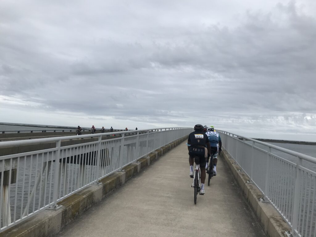
I left the rest stop solo. Again. Once over the bridge, I joined four riders from MTCC-Philly. The five of us, four men and one woman, were taking equal pulls. I thought we might have 20 miles of this.

Webb drinking Hot Shot

After 2-3 miles a larger group passed us and soon we were part of a much larger group. For the first time today, we had a tailwind. We only averaged 21 mph on this segment but that includes creeping through Berlin. It took me 60 miles but I finally found the group I wanted to ride with. But it would not last.

Verranzano Bridge

We stopped at Mile 80 at the rest stop. As usual, I wasn’t staying long. I waited a little bit to see if a group would form. None did so I headed off willing to slow pedal and be caught. After 10 miles on this 18-mile segment, I shifted from wanting to be caught to not wanting to be caught. I wasn’t.

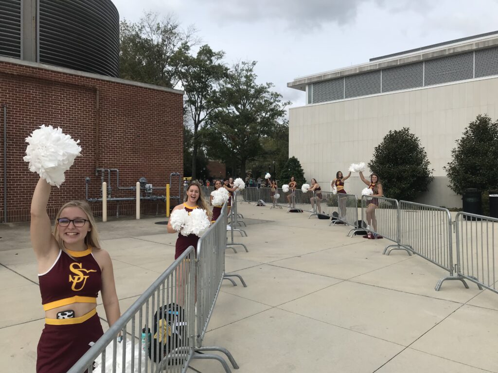
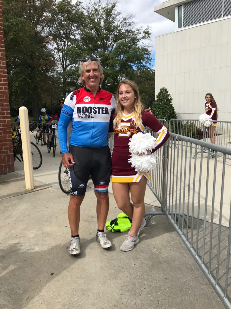
Salisbury University Cheerleaders at the Finish

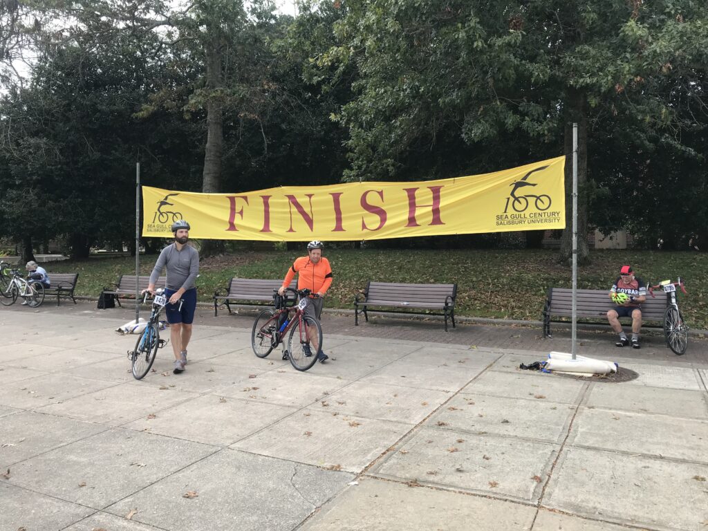
I went through the tunnel at the college, stopped long enough to take a photo of the Salisbury University cheerleaders, grabbed some ice cream then slowly rode back to my car. It was a really good day and I loved all the MTCC riders I met. One of my favorite Sea Gulls yet.


DISTANCE: 102.5 miles
SPEED: 17.7 mph
WEIGHT: 171 pounds

I actually rode 0.2 faster last year solo but today included the last mile of getting back to the car. It’s not all about speed and I purposely rode slow today. But if it was, I am still very happy with this ride.

Kent Island

KENT ISLAND, MARYLAND

I have traveled across this island two to three dozen times. Always it was just a place to bridge the gap between the Chesapeake Bay Bridge and Maryland’s eastern shore.

Traffic can be heavy especially on summer weekends. Usually, it’s get on, get moving, and get off the island. Unless, of course, one wants to stop at the Chick-fil-A.

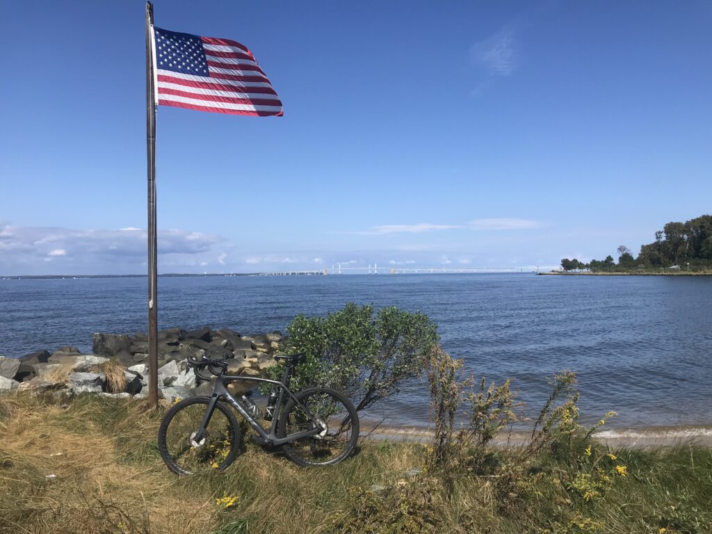
Chesapeake Bay Bridge in distance

I’ve spotted some bike baths alongside U.S. Rte 50 and decided I would explore the island. I don’t know if I would make this a destination trip but since I was headed to the Sea Gull Century it was a great place to stop and explore.

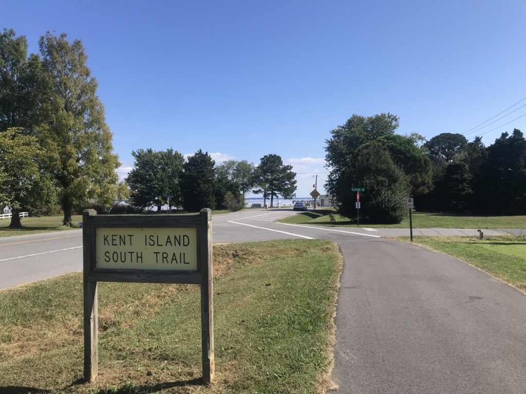
Kent Island South Trail

In a nutshell, there are two trails on the island and some road riding that connects them if you are willing. The road between the trail can be busy.

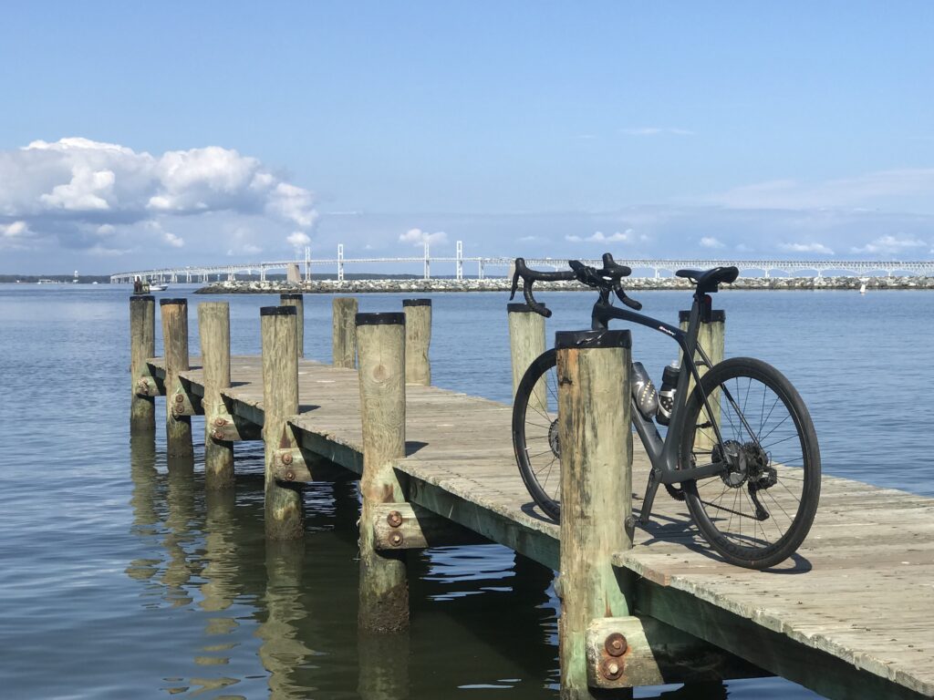
The Chesapeake Bay Bridge in the background. Matapeake State Park.

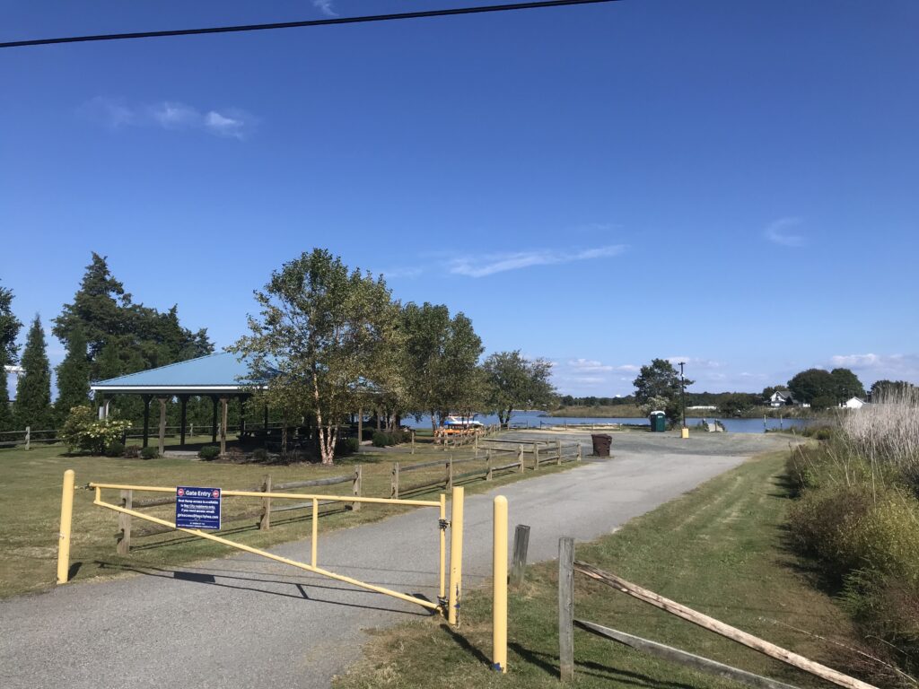
I took the first exit and went south. I parked at the Matapeake Park – the entrance to the Kent Island South Trail. But I wasn’t interested in the trail so much. In fact, when I left the parking lot I didn’t know the trail existed. I didn’t see the entrance.

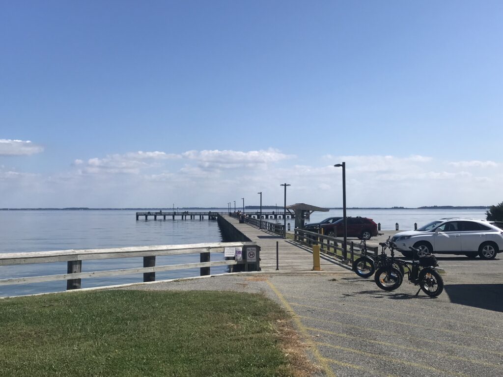
Matapeake State Park Pier

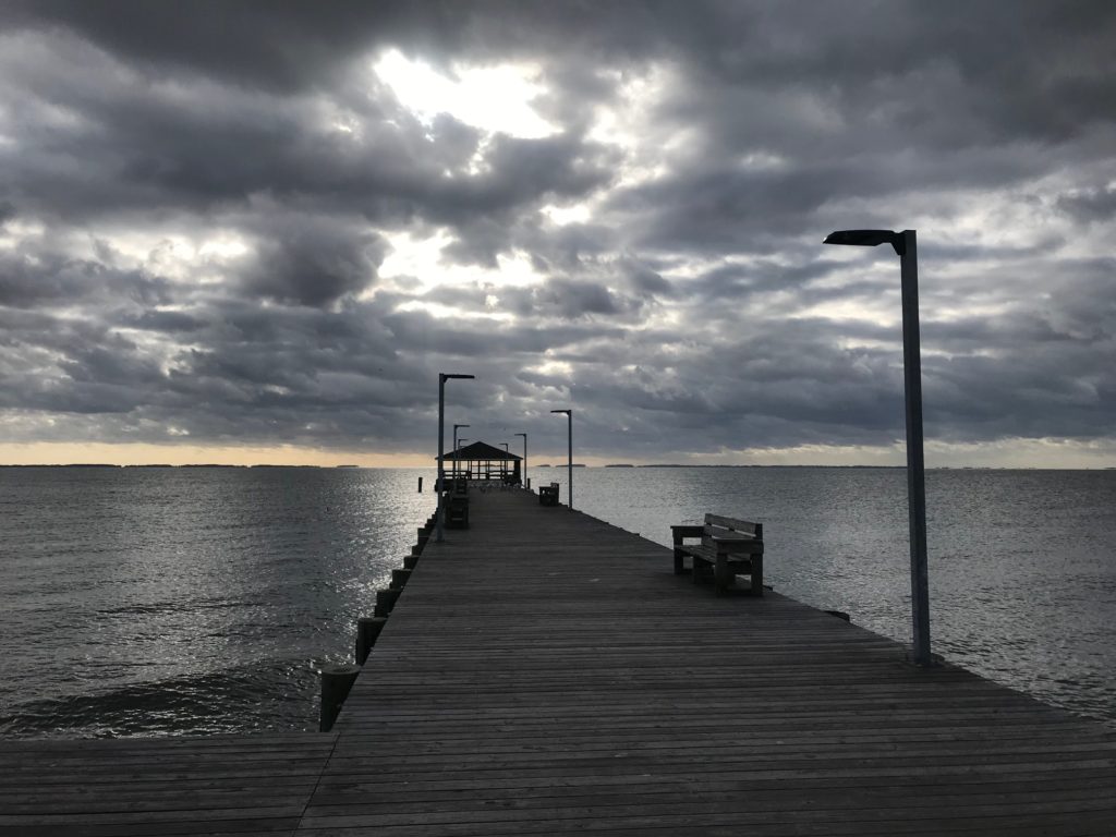
I first turned and went back to a pier and boat launch at Matapeake State Park. There is an excellent view here of the Chesapeake Bay Bridge.

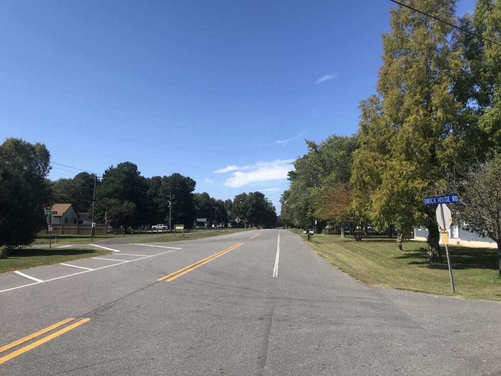
Wide shoulder on Rte 8

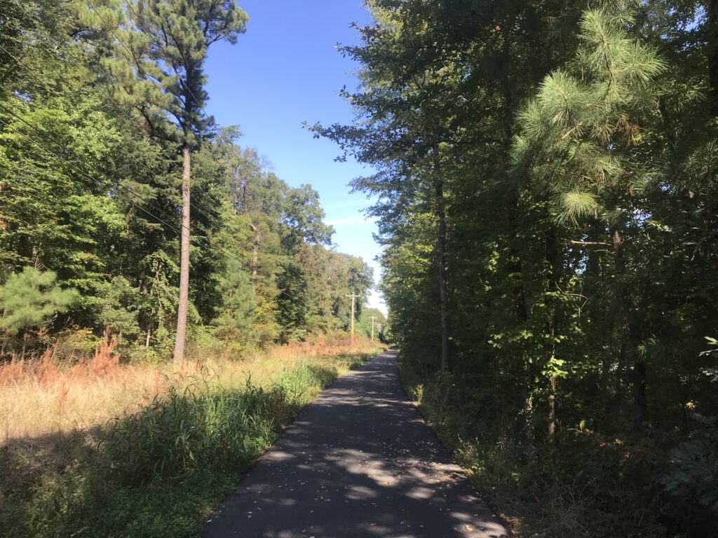
When I reached the main road I turned right (south) and rode on the wide shoulder. I was very comfortable riding here and only then did I see a trail next to the highway. I jumped on the trail at the next opening.

The Bay Park

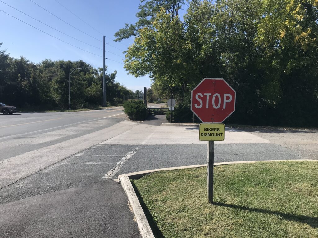
It is wide and is in excellent shape. The asphalt seems new. I’d say maybe this year but I’m not sure it’s that new. The only annoying thing is the many at-grade crossings of driveways and each one comes with a Stop sign and BIKERS DISMOUNT. Seriously? This is clearly driven by the county’s lawyer.

Every stop sign has these silly “Bikers Dismount” obviously placed there by lawyers

It is only 5.5 miles to the pier. An alternative which I intended to do was to follow the road to the southernmost tip. I followed the trail without realizing I wasn’t following my mapped ride. Maybe if there’s a next time.

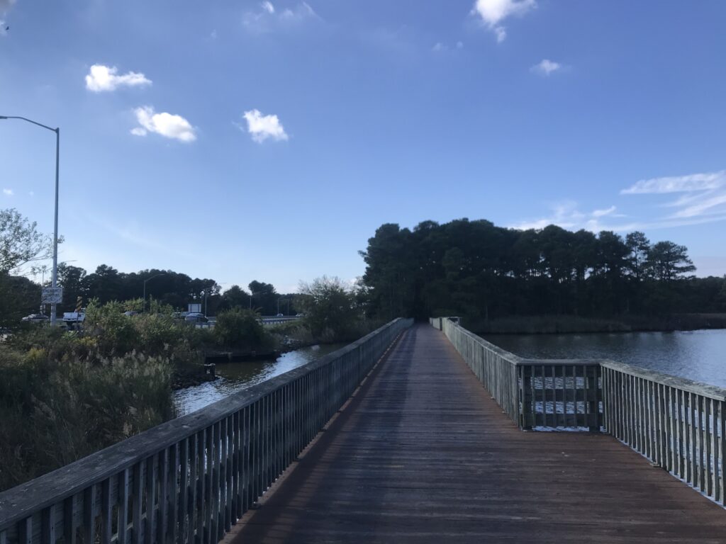
Boardwalk on the Cross Island Trail

I made it a point to follow the trail to the northern end. It took me right back to my car. I didn’t even notice it the first time.

Kent Island South Trail

The second trail on the island is the Cross Island Trail. Generally, I prefer roads to trails so I decided to ride the road to the Kent Narrows Bridge.

Kent Narrows

It’s about 3-4 miles on Rte. 8 to cross U.S. 50. There is a wide shoulder the entire way although one must exercise extreme care when crossing the entrances to U.S. 50.

Boardwalk on Cross Island Trail

I turned on Main Street and for a while had no shoulder. The street is marked with a Bike sign – Share the Road – but to most motorists that means get out of their way not that bikes are entitled to the full lane.

Kent Narrows

I rode this section but I wouldn’t want to ride it with anyone slower than me and wouldn’t normally recommend the east-west road route on the island.

Kent Narrows Bridge

I got on the Cross Island Trail. I found a few boardwalks but know I missed the big one. I saw that as I left the island after my ride. Although I crossed the Kent Narrows Bridge I did not follow the trail to the conclusion on the west side.

Cross Island Trail

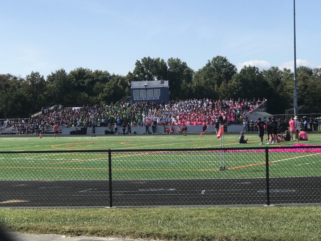
But I followed the trail back to Rte 8. It’s in great shape. Not built for speed as it meanders amongst the trees. It dumped me at Kent Island High School which was having a Friday afternoon pep rally. I stopped and watched.

Cross Island Trail

The emcee, maybe the principal, maybe the athletic director or even coach, introduced a returning former member. And then the quarterback who was standing at the 40-yard line. If the QB could hit the receiver 40 yards for a touchdown, all the students would get a free water at the next game or restaurant or something.

Kent Island High School, Md. (Pep Rally)

The QB threw and the ball went 35 yards in the air. It was a perfect strike but it wasn’t in the end zone. The receive held up, caught the ball, and then walked it. The crowd went wild. It also makes you appreciate the pros who can throw 50-55 yards or more.

It was a nice ride. Normally not a destination but sure is a great place to stop if you’re traveling through. I would love to come back for the western portion of the Cross Island Trail.


The Sea Gull – Backwards

OCEAN CITY, MARYLAND

All my events and rides for 2020 have been canceled. When the Sea Gull Century announced their cancellation about three months ago, I decided I would do the ride anyway.

I came down yesterday and met Chey Hillsgrove in Bethany Beach. We went for a nice 25-mile late afternoon ride.

Breakfast at the hotel

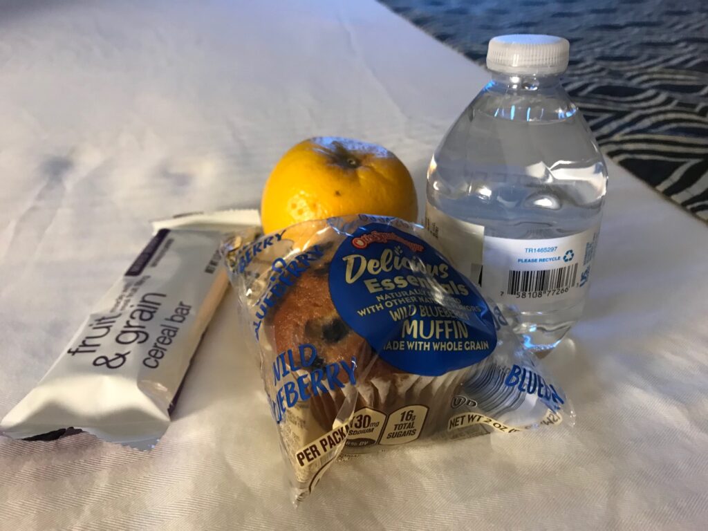
My plan was to stay in an Ocean City hotel rather than Salisbury. I checked in and no mention was made that the sign which stated “Breakfast Served Daily 6:30 – 9:30” didn’t actually apply. I would discover that in the morning when the nice young lady said they don’t serve breakfast “because COVID.” She handed me a bag with a mini-muffin.

Rolling out of the hotel in the morning

This was not good. I needed those hotcakes or waffles. A muffin would not hack it but it would have to.

Country roads

There would be two major differences about today’s route. First, I was starting and finishing in Ocean City rather than Salisbury. And second, I decided to ride the normal route backwards. I did that to see the route from a different perspective and it would also let me see who was on course today. Was I the only one or would there be groups of riders today?

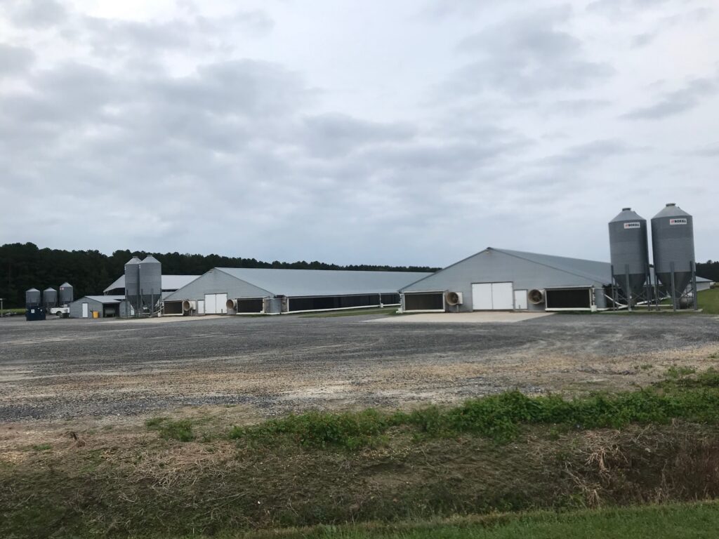
Chicken Farms everywhere

Some allowances would have to be made on my ride because this was not an official event with SAG support and rest stops. There would be no water or Gatorade on course. No fruit or cookies. No port-a-johns.

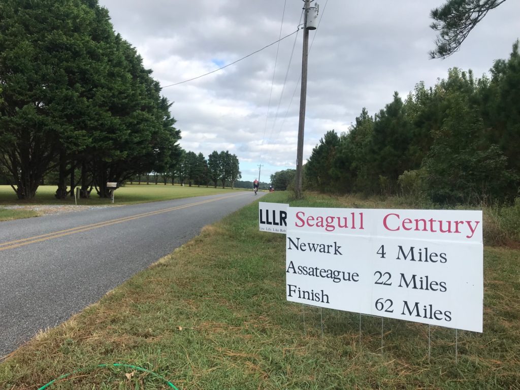
Newark, Maryland

I decided that because I knew where most of the country stores or gas stations were, I could stop and get water and food on the route. As far as port-a-johns, the route traveled through lots of forests. I could do this.

An unofficial rest stop in Newark

It was gray when I rolled out at 7:38 a.m. And it was windy too. I never did get a handle on the wind direction. Being a loop course, sometimes it was a headwind, sometimes it was a tailwind, and the rest of the time it was a crosswind. But there was always wind. Always. And the sun shone for about 15 minutes.

On the road

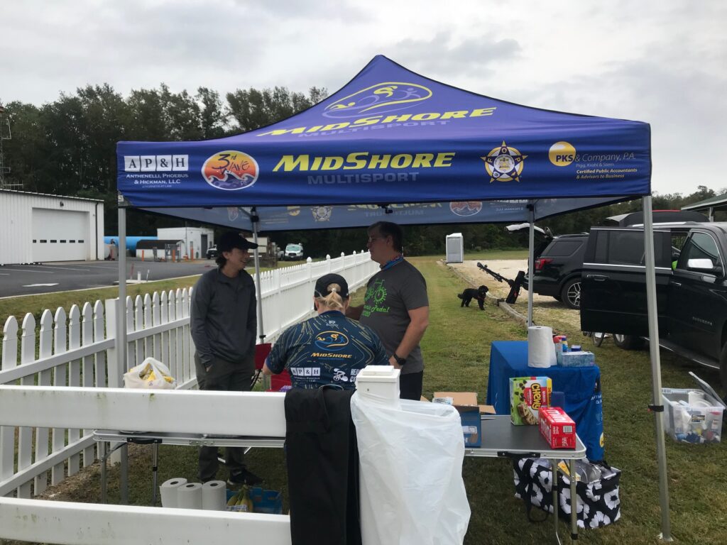
In Newark, I passed what was normally one of our rest stops and saw a group had set up a tent. I passed and said hello then went back to talk to them. Although the tent was for Mid-Shore, from Salisbury, the volunteers were from Virginia Beach. I asked them who they were supporting and one guy said “any cyclist who comes by.” They offered me something but I was only 17 miles in and hadn’t really started drinking so had nothing to replenish. I declined.

Snow Hill, Maryland. A pretty little town.

I was expecting hundred of riders but probably didn’t see more than 100. I saw some women yesterday from the Major Taylor Cycling Club which I assumed was Columbus or Dayton. But I see there are Major Taylor Cycling Clubs all across the country so dang me for not asking them where they were from.

Snow Hill, Maryland – drawbridge over the Pokomoke River

It was perhaps a mistake by me not to carefully retrace the route backward. In building my course RideWithGPS seemed to follow some previous routes that I had done. I never checked the details. The first instance where I went off-course was in Newark. I recognized I was going to cross the dangerous tracks the course used 3-4 years ago where there were lots of falls. I made it through OK but there wasn’t a legal way to cross US 113. But I’m on a bike and I can do anything.

The Pokomoke River in Snow Hill

I had made myself a deal that I would stop near Snow Hill at the Assateague Bay. Except the route I was following never took me there. I knew there was a port-a-john in the park there so having missed it, I would have to improvise. I also hoped that I would follow the perimeter of the Salisbury Airport but rode past the entrance. There may have been a detour in place though so it worked out.

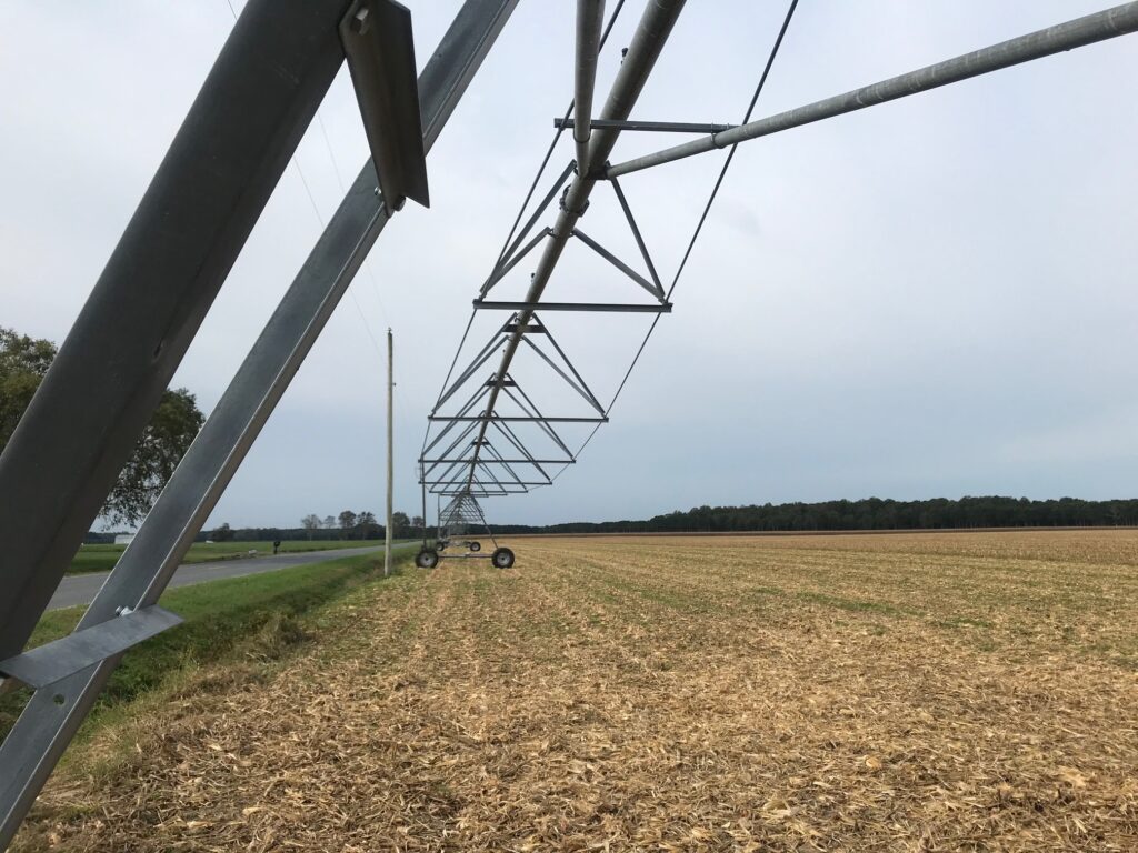
Irrigation in a corn field

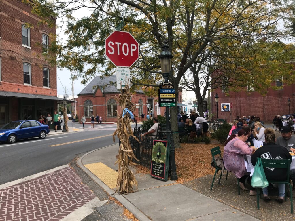
But the biggest change was in the town of Berlin. In the regular route the ride returns through Berlin. It is routed through a residential area before hitting the country roads. Going backwards today, my Wahoo took me right into the downtown. And what a charming, beautiful place Berlin, Maryland is. What a great discovery. And I also understand why the organizers would not want to send 8,000 cyclists through here.

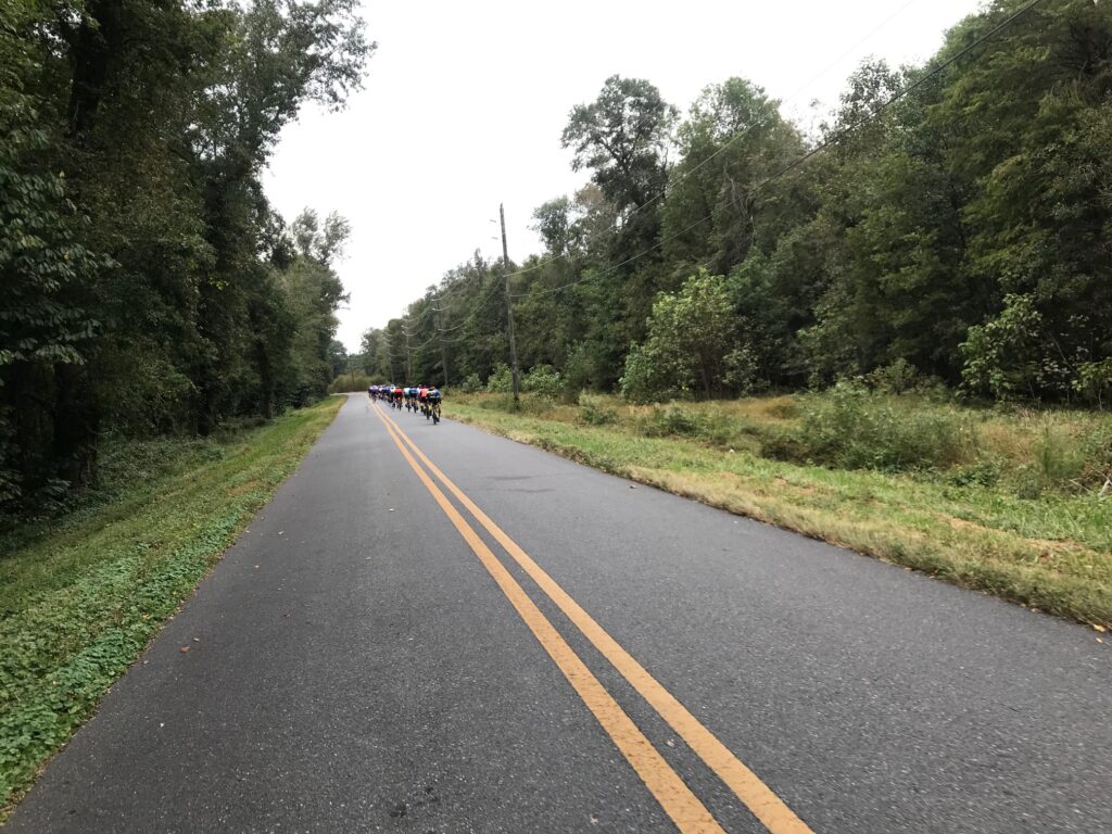
Peleton that had passed me

In Salisbury, I stopped very briefly at a Royal Farms, store and gas station. Should I replenish or not? I check my water levels. I had eaten just one of my gels at that point and was 57 miles in. I ate the second and through away the wrapper. I decided I was good to go, and if not, could stop near Assateague.

Thanks for the draft!

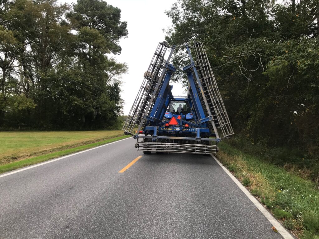
The winds were brutal at times. Approaching Berlin I was overtaken by a tractor. I was riding at 21-22 mph and wasn’t sure he could go much faster. But her did. Once he passed I sped up to 28 mph and was sitting in his draft. I thought I could ride all day at 28 mph in his draft but probably only got a half-mile of draft before he turned off.

Berlin, Maryland

The groups never really materialized. I did see a peleton of about 40 irdes going in the opposite directions outside of Berlin. And turning onto Assateague Road I was passed, then integrated, with a group of cyclists. They were a group from D.C. (or near D.C.). We only had three miles to the Assateague parks and they went into the state park and I went to the National Park.

I rode with this group for three miles

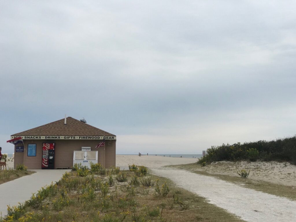
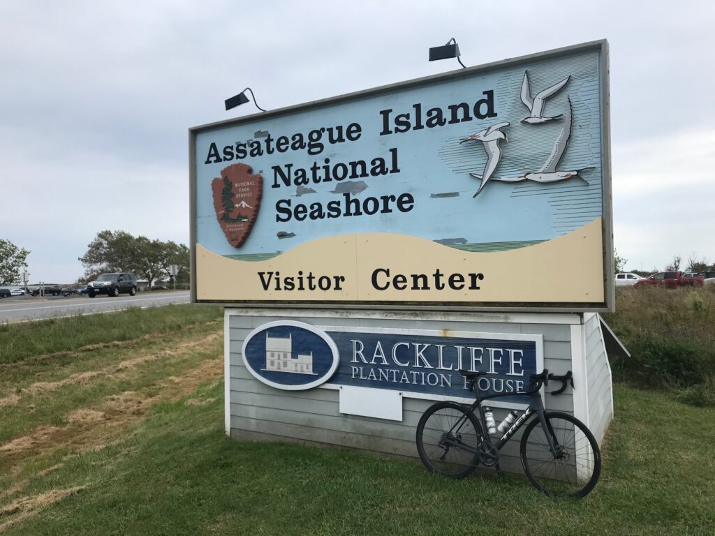
I have a lifetime pass to U.S. National Parks. I thought my chance of spotting a wild horse on Assategaue Island was better in the National Park. I saw lots of horse poop but no horses. I don’t remember seeing a seagull either.

Assateague National Park – the water is the Atlantic Ocean

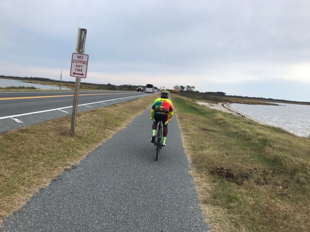
The line to enter the park was enourmous. Seemed to be at least one mile long. But there was a bike path so I rode on the path. As I approached the ranger station the path went away from the station and into the park. Although I have my pass there was not place to present it. Not sure if it’s intended but it looks like you can bike into the national park for free.

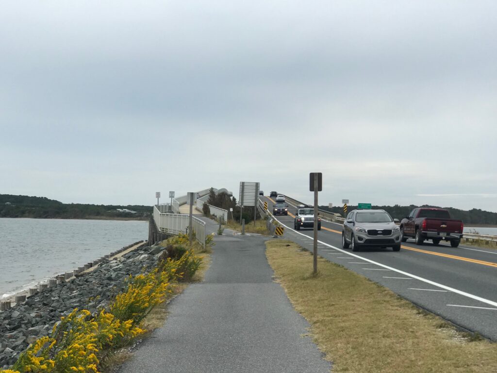
Veranzanno Bridge at Assateague Island

I wanted to do a six-hour century. I never checked my time but figured that I would get back to my car around 2:00 p.m. A six-hour century requires one to average 16.7 mph. I wasn’t sure if I could but needed only to look at my past rides here. In 2016 I averaged 17.1 mph. In 2018 I averaged 17.3 mph. In both of those I was pulling for some slower riders.

I was pretty excited to see that I averaged 17.9 mph today. While it was my best ever, it wasn’t appreciably better. But what was different was I was solo the entire ride today, except for a brief interlude behind a tractor and with a cycling group. So I am pretty happy with this ride. Very happy.


Distance: 105.4 miles
Average: 17.9 mph
Weight: 174

I have really mixed feelings about my performance on this ride. At first I was pretty happy with the average but upon review, it’s in the ballpark with other rides I’ve done here. It was only 0.2 faster than last year and I didn’t ride in any groups last year although sometimes just being around others and you pick up the speed.

The wind? In a loop course, if the wind remains steady all day then some is headwind and some is tailwind. Then just a little protection by riding with others is helpful. But does it even out? I suspect not, much like a flat ride over 50 miles will be faster than a mountainous ride of 5,000′ of gain and 5’000′ of descent. There is something about the energy used in climbing that you don’t get back with the descent. And maybe riding into the wind takes more out of you than riding with a tailwind gives back.

Losing 35 pounds has been very helpful on rolling or hilly courses. But maybe it makes not difference on the flats, especially when it’s windy. I felt at times I was getting shredded by the wind yesterday – maybe a bigger me wouldn’t have been as bad.

It wasn’t going to be a day of PRs because I rode the course backward. No baseline to measure me by. But I did PR on the one “climb” of the day – the Assateague Bridge Climb. So maybe shedding weight helped there. I could have gone faster – much faster – but would have to be a jerk and pass riders on that narrow bridge. Still, 4th all-time age group.

Total time was 6:14 with just 20 minutes stopped. There was a chat with the tri-guys in Newark and offloading trash in Salisbury. A few photo ops. A couple of stoplights. One break au natural. Last year I was stopped for 1:14. In 2018 it was one hour even. In 2017 it was a more reasonable 35 minutes (and also a 17.9 average). In 2016 it was a ridiculous 1:33 (I joined with three riders from Blair Cycling Club – one had a flat which we stopped and waited to repair).

My other decent time – 17.9 – was three years ago. On that day I did form up with some others and was in a group a lot. So today was a solo effort.

Lastly, and maybe most importantly, there was nutrition. Or lack thereof. The hotel did not offer breakfast as advertised. No rest stops meant no snacking on the ride. And no water. I rode with two water bottles and three gels. Surely a little more fuel would have helped.

Brunswick Doublecross

LEESBURG, VIRGINIA

What a beautiful day. I had mapped out a 55-mile ride and loaded it on my Wahoo. Truth was, I didn’t need a map because except for a two-mile stretch of Va. Rte. 267 (Berlin Turnpike) from Lovettsville to Brunswick, Md., I have ridden all these roads before.

W&OD at Hamilton (MP40)

Well, not all roads. Twenty miles would be on the C&O Canal Towpath. Yes, on my Domane (road bike). I was comfortable riding the canal because six days ago I met my sister, Betsy, and her husband, Tom, plus friend, George, as they were doing a through-trip from Pittsburgh to D.C.

Betsy had texted me and said “They’ve resurfaced at least this part of the canal! .. no puddles, no roots, no rocks.”

Hamilton, Va.

When I met the crew last week, I had just ridden through a steady rain. Although it had quit raining when I met them, that led to a discussion about the surface. Between Point of Rocks and Whites Ferry, it is generally hard-packed. With the rain it looked, and rode, like asphalt.

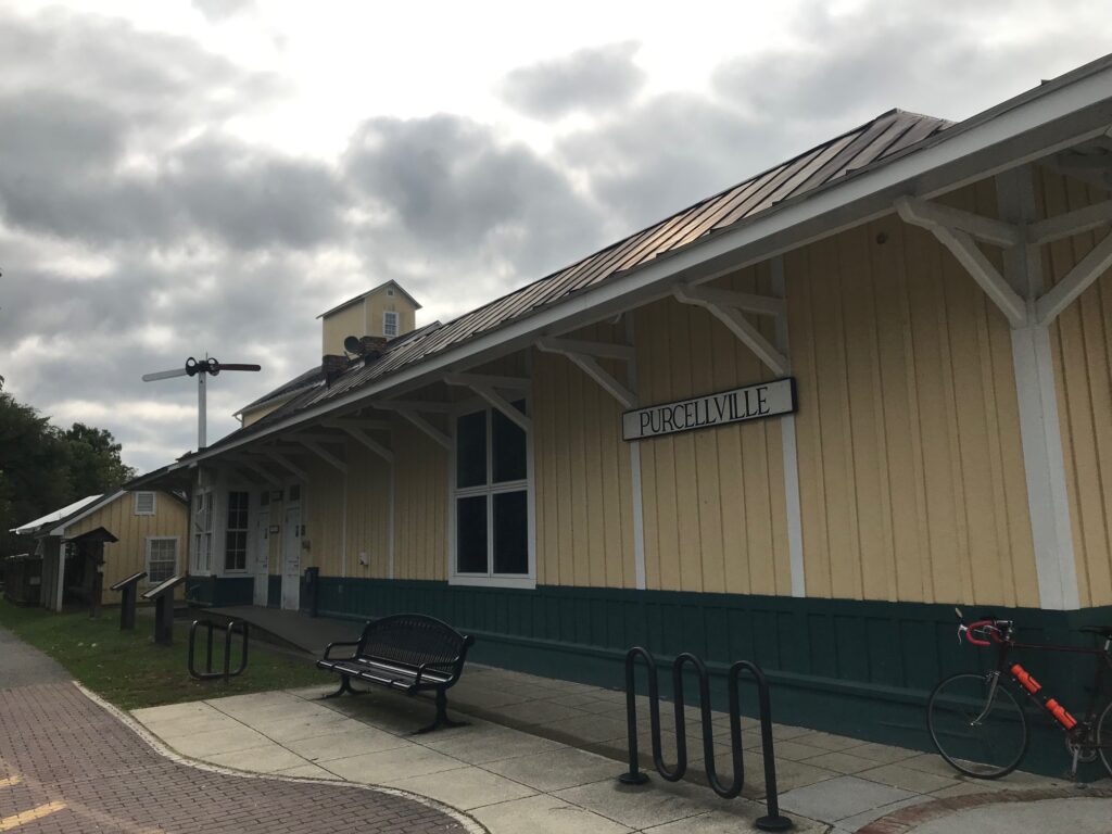
Purcellville

When I mapped out this ride I thought about taking Md. Rte. 28 from Brunswick then connecting to Martinsburg Road and the familiar country roads I have ridden many times. These are the roads to and from Sugarloaf Mountain so they would be familiar territory.

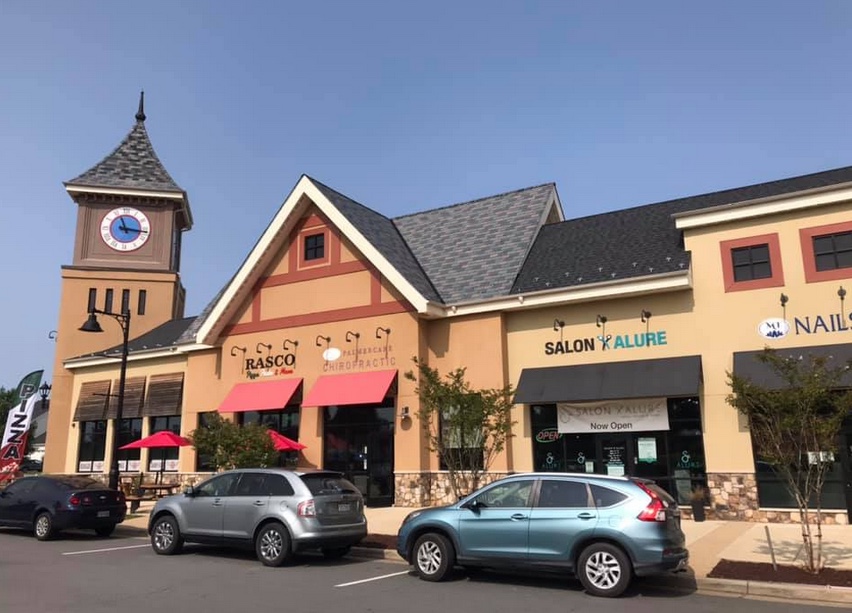
Purcellvile

But an alternative would be the C&O. The paved C&O. Well, so I thought.

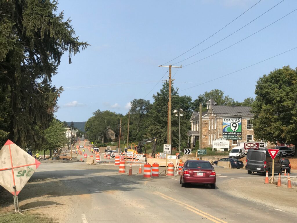
Road Construction in Hillsboro

It was a chilly late-summer morning. Just 55° (13° C) at the start. My cold-weather gear consisted of arm warmers. And that’s it.

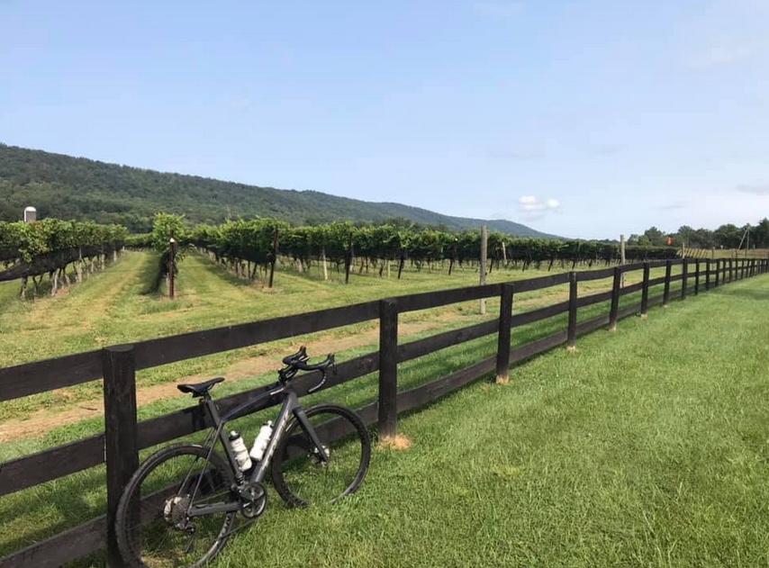
Doukenie Winery, Hillsboro

I followed the W&OD to Purcellville then took Hillsboro Road over to Hillsboro. There were ZERO cars behind me today. There’s a major construction project in Hillsboro with a detour around the quaint town, and cyclists benefit by the detour.

Lovettsville

From Hillsboro to Lovvettsville I followed Mountain Road. It was absolutely beautiful. I had mapped out an alternative for bypassing Lovettsville but that did not work out. I have to go back to the drawing board but I was comfortable staying on the roads I knew.

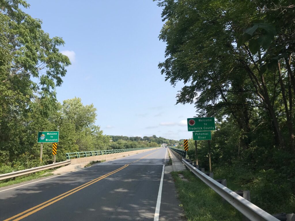
Welcome to Maryland (Brunswick)

Actually, the drawing board is confused. Checking what I had mapped out and downloaded, what Wahoo was showing today was not the same. In Purcellville, it was supposed to route me onto Chestnut Overlook Drive but did not show that. Then on Mountain Road, it told me to go straight about 200 meters, do a U-Turn, and then turn on Brittain Road. And that was gravel so I ignored it. But it looks like I had mapped an alternative for bypassing Lovettsville but that never showed up either. Don’t make me lose trust in my Wahoo.

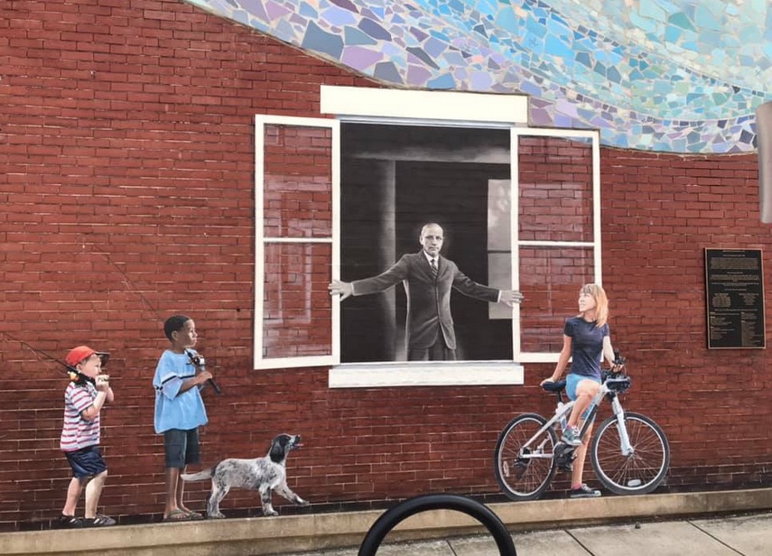
Horine Bldg (1910). The man is Dr. Arlington Grove Horine (1863-1956) owner of Horine’s Drug Store and Soda Fountain Shop. He was a surgeon with the B&O Railroad (1891-1903) and Brunswick’s mayor (1906-1914).

I jumped on the Berlin Turnpike (just the name of the road, it’s not really a turnpike). I came to a construction area and stop where the flagman held up a stop sign. We chatted briefly. He told me I was flying up the hill before I reached him. That was a nice compliment.

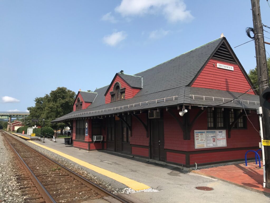
Brunswick, Maryland Train Station

It wasn’t long to the bridge into Maryland and over the Potomac River to Brunswick. In Brunswick, I looked for Mommer’s Dinner, a quaint little restaurant where Andrew and I ate back in 2001. I did not see it and would learn that it closed. I can’t determine if it was this year or just some time in the last 19 years.

Bridge Out on the C&O

Crossing the B&O tracks, I came to the access road for the C&O Canal. And it was crap. I was expecting paved and this was a gravel road with many potholes. It was horrible.

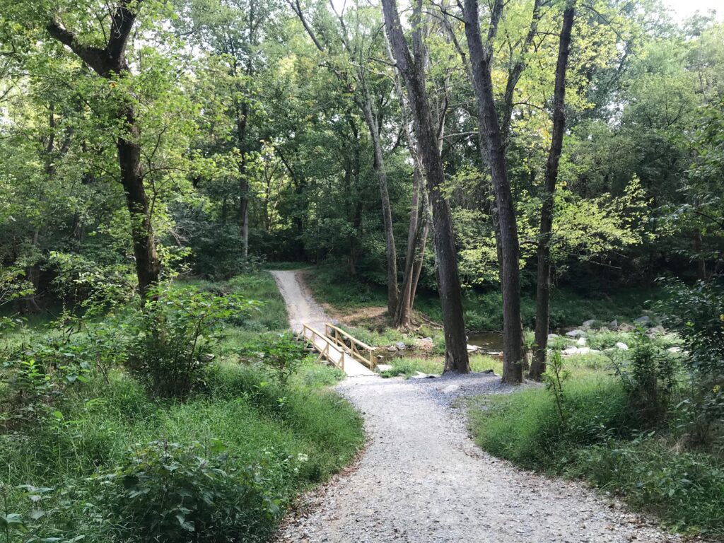
C&O

Thankfully, it would last one mile, just to the entrance of the Brunswick Family Campground. And it was 19 years ago that Andrew and I camped one night here. We thought we found a great campground only to be woken up too early by the trains just 50 meters away through the trees.

Point of Rocks, Md.

But the canal path became much improved here. I could see, without the rain, that this was definitely a crushed limestone surface. Except for one detour around a bridge that was out, it would be 19 miles of glorious crushed limestone. Along the way, I passed many cyclists. All were much slower than me. Every time I looked my speed was 17-20 mph. Not bad on this surface.

Point of Rocks, Md. US Rte 15 connects Loudoun Co. Va. with Frederick Co., Md.

There was one guy I caught and surprised. He was probably around 40 years old. He had mountain bike tires but was making great progress – probably 15-16 mph. I called out “on your left” which surprised him. He looked back, a little surprised, probably thinking he was the fastest rider on the canal today. But I was on a road bike and he had fat tires. If we switched machines he would be way faster, I’m sure.

Monocacy Aqueduct

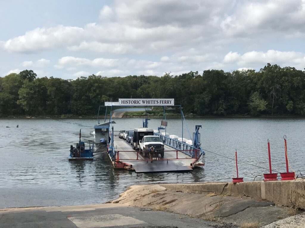
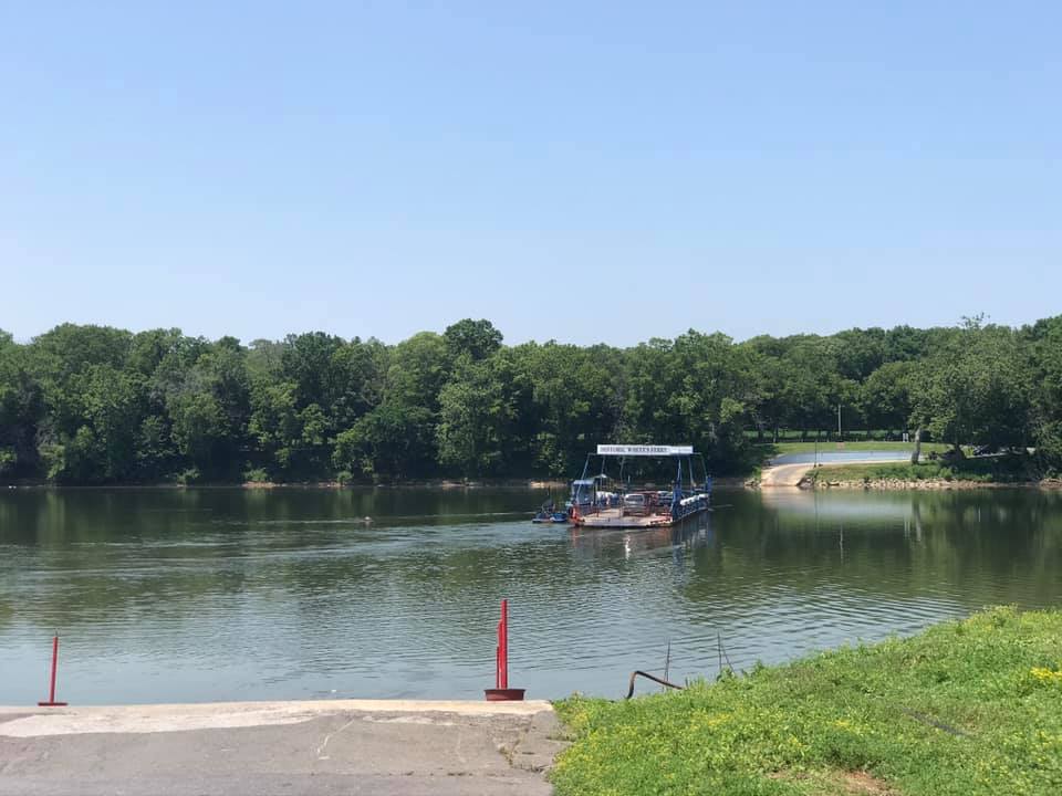
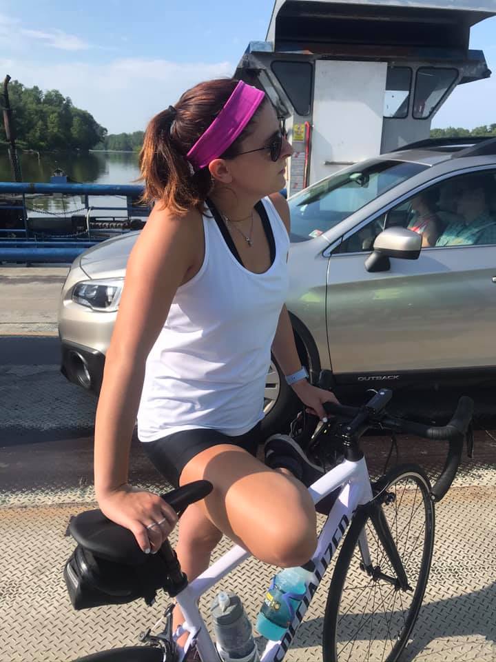
One week ago I was in a steady rain crossing the Potomac by ferry. Today was a gorgeous day. I arrived as the ferry was arriving from the Virginia side. I never stepped off the bike although I had to put a foot down for 4-5 minutes.

Whites Ferry

Leaving the ferry my legs felt good. There is a ramp here which is probably 15%. Almost always the lactic acid hits me here and I can barely pedal. Today I noticed no lactic. And although I was riding into a strong headwind and had 50 miles in my legs, I saw my time on this Strava segment was coming down. I would set a new PR. And I sort of smashed it.

Monocacy Aqueduct

It was a beautiful day. This is a ride I would love to do with friends. It can be done with road bikes. The canal section isn’t bad except for one mile in Brunswick but that shouldn’t be enough to discourage one from this ride.


I sort of smashed my PR. It is good for #1 overall for my age group but just 67th total (out of 2691)

Distance: 55.0 miles
Average Speed: 16.3 mph
Weight: 181

A Most Satisfying Ride

POOLESVILLE, MARYLAND


Until November 2019, I was running the Garmin 510 bike computer which was not one of the newer ones capable of live Strava segments. I bought the Wahoo Elemnt Bolt and slowly made a transition to running the Wahoo.

There was a learning curve for advanced features although the basic stuff of speed, time, and distance, were ready immediately. I rode through spring and then in late spring, upgraded to a paid subscription for Strava.

Before subscribing, I would check known segments after each ride. Sometimes I would set a new PR (personal record). Usually not. Nowhere was this more evident than in the summer of 2019 when I was chasing a segment in Prince William Forest Park.

Each day I would go to the segment and go full out for 45-50 seconds. Sometimes I thought it felt good. Other times I knew I didn’t have it. Then one day I got home and uploaded my ride and found I had the KOM.

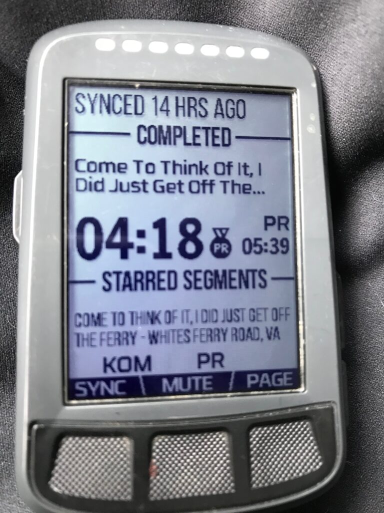
Live Strava Segments are just that. As I approach a segment I am notified. Then the big GO! appears on my screen. Throughout the segment, I can see my progress.

Looking back on those Prince William Forest Park segments, I always went as hard as I could. So seeing that I was one second down may not have been enough to find that one second. But when I’m on the 3-5 or 10-minute segments, one can find the energy to push it a little harder to match the last time when you are getting feedback.

Live Segments have changed the way I ride. I do a lot of LSD (Long, Slow, Distance) rides. I also know that interval training is necessary to improve. Live Segments give me those intervals that require me to go hard.

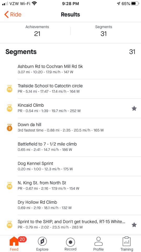
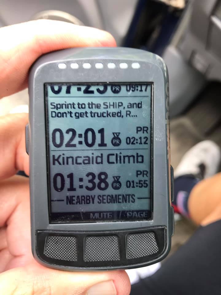
Nowhere was that better shown than today’s ferry ride. The W&OD was crowded but I came to the Kincaid Climb just before Leesburg. I was worried about getting a good time here because there was a slight headwind and there were lots of people. If I had to slow while waiting to pass I knew I was toast. But bad luck avoided me and my computer said 1:38 which was down from my previous PR of 1:55. My actual Strava time was 1:39.

Without Live Segments, this is one I would normally just roll through with no effort. In fact, my last ten rides, before today, were: 2:27, 2:17, 2:43, 2:28, 1:55 (old PR), 2:18, 2:24, 2:31, 2:44, and 2:23. I went hard and was rewarded. It’s not great – I am 33rd overall but that’s out of 16,292 athletes. So in that regard, this old cyclist is in the top 99% – 99.8% to be exact. And I am number one in my age group.

I even hesitated to go for a PR on Kincaid. Part of me wanted to save myself for the next climb. And that, too, is the beauty of Live Segments. Had I seen that I was down even 5-6 seconds I probably would have just sat up and soft-pedaled to the end.

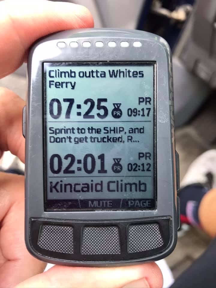
I was expecting to compete for four segments today. The ones that show on my Wahoo are the ones that I have selected (starred). I was on the shoulder of US 15 North when I got the GO for Sprint to the SHIP and don’t get TRUCKED. Instant feedback – I went through in 2:01, lowering my time from 2:12 three weeks ago. My Strava time was actually 2:02. But I was two for two. I was on a roll.

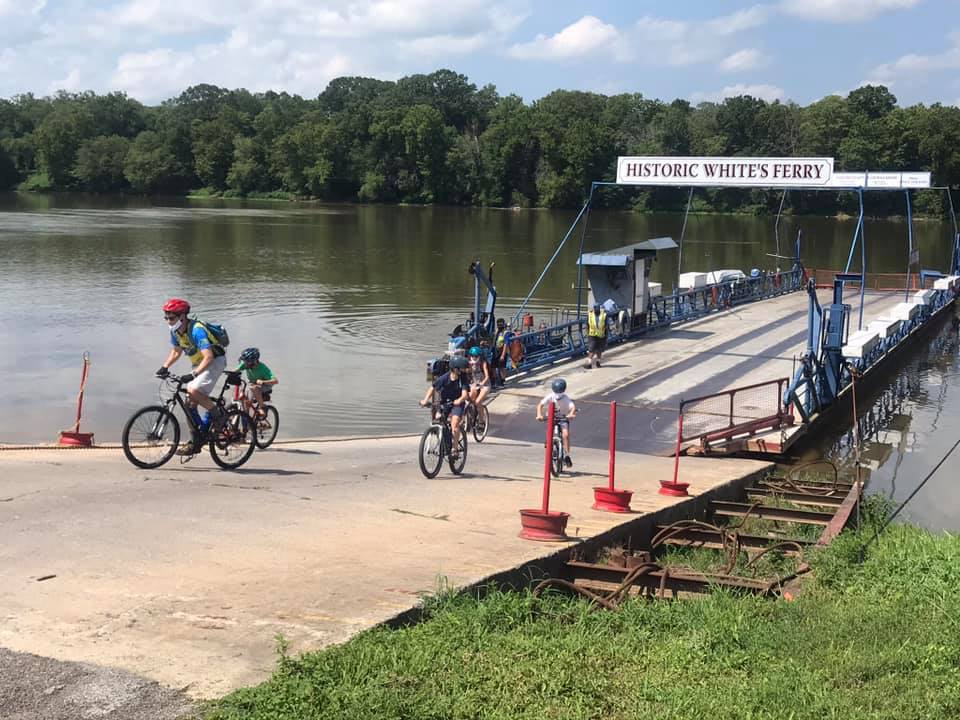
A family exiting the ferry

I came today to improve my time on the climb after leaving Whites Ferry. Three weeks ago I did this climb and had a PR (9:17). I waited at the top for my friend, Tim Casebere, at what I thought would be the “finish” line. I was actually short of the finish which was located over the top of the climb and about halfway down the next dip in the road.

When I got home I saw that I was second on the day – beaten only by Tim by three seconds. I laughed. I guess the clock was ticking while I waited. So I knew that if I simply didn’t stop at the top today I would improve my time on Climb Outta Whites Ferry. I went hard, saw that I was 45 seconds up, and then saw the PR on the screen (7:25). Wow! Almost two minutes. Note the “official” Strava time was 7:26 – I’ll still take it.

Climb Outta Whites Ferry

I was happy. I was riding well and I headed next over towards Edwards Ferry then back into Poolesville. There was one segment remaining, that I knew of. It was a climb on Martinsburg Road. And I was three for three and drenched with sweat. And it felt great.

I made my way over to Beallsville and decided if Rt 28 was closed five miles ahead (there was a bridge out at the Monocacy River two weeks earlier when I rode it) that I would take the road which now would be less traveled. It was closed ahead and as I hoped, I had no traffic for the next two and 1/4 miles to the turn onto Martinsburg Road.

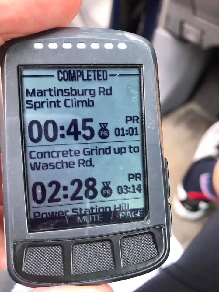
Immediately I was smacked in the face with a GO! I was on Power Station Hill Sprint. I could see it wasn’t long and went through in 0:39 – down from my previous best, 1:07. (Actual Strava time was 0:38). I was four for four.

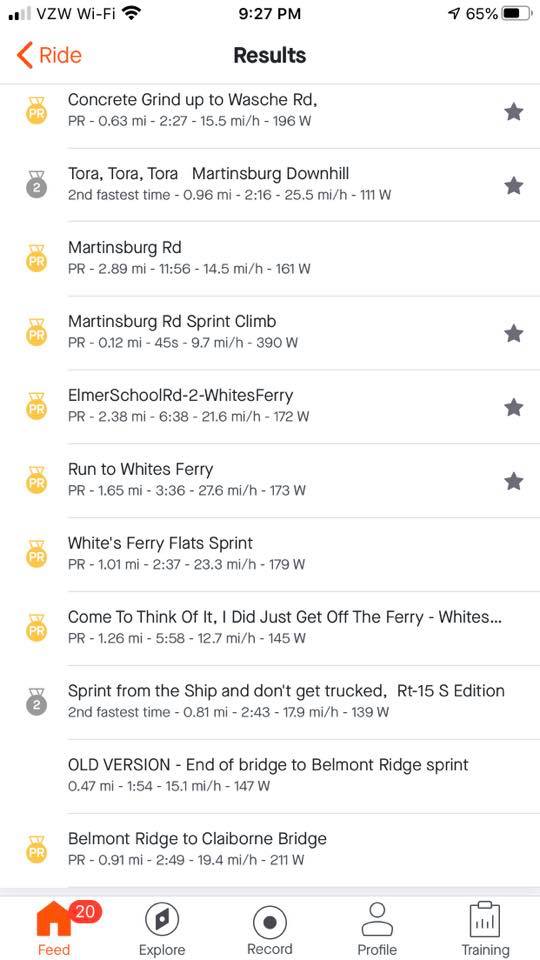
I turned on the beautiful concrete Martinsburg Road and again, GO! I got into a big gear and watched my advantage over my PR increase. I went through the Concert Grind up to Wasche Rd. in 2:28, lowering my PR from 3:14. (Actual time was 2:27.). I was five for five and knew at least one more segment remained.

Martinsburg Road

The reason it was one more is that three weeks ago the Martinsburg Rd Spring Climb popped up while I was riding with Tim. My PR was 1:01 that day and I knew it was ahead. But would I have anything left after going five for five in previous segments?

These Live Strava segments have been wonderful but not perfect. Some that I have starred and are supposed to show up on my Wahoo, haven’t. And I had starred some segments before today and they did not show up as race segments. Yet. So I knew one remained but thought there could be more.

I hit the downhill portion of Martinsburg Road pretty hard then started up the climb. Then came the GO! and I dug deep. I finished in 0:45 which surprised me. And now I was six for six.

It was a good workout and I was prepared for more segments. I didn’t know how much more I could find if there were more segments to pop up. But that would be it.

Without Live Segments, I probably would have ridden “medium-hard.” But I never would have dug deep for six segments on this ride. I can’t see not being a premium member of Strava simply for this benefit. It has changed my riding for the better.

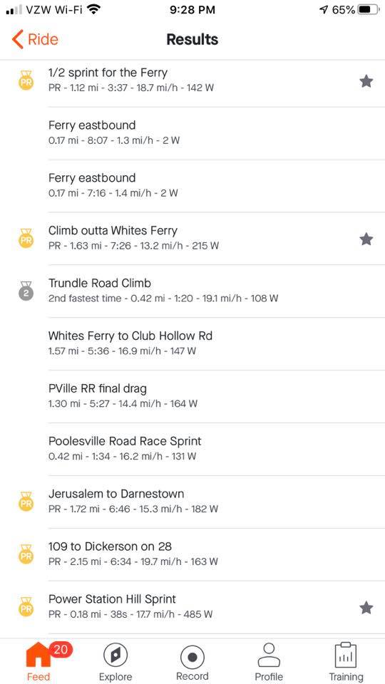
In the end, I had 17 PRs on this ride. For some of those I wasn’t even aware of but I got them because I went hard on the segments. Because of Live Segments.

The Remaining PRs

Trailside School to Catoctin Circle (17:47)
N. Kind St. from North St. (2:16)
1/2 Sprint to the Ferry (3:37)*
Jerusalem to Darnestown (6:46)
109 to Dickerson on 28 (6:34)
Martinsburg Road (11:56)
ElmerSchoolRd2 – Whites Ferry (6:38)*
Run to Whites Ferry (3:36)*
Whites Ferry Last Sprint (2:37)
Come to Think of it I Did Just Get Off the Ferry (5:58)
Belmont Ride to Clairborne Bridge (2:49)**

__
*These are starred segments in Strava but did not show up on my Wahoo to race. But I still did OK.

__
**I didn’t know this segment existed but two dicks went flying by me at the light at Catoctin Circle. It was a red light that another cyclist and I was waiting for. Just as it turned white (for pedestrians and cyclists), they had a head of steam and went flying by us dangerously close. I thought what dicks but then I caught them. I wanted to follow but they passed a couple of people dangerously close. When it was finally clear, I went by never to look back at them. I kept my speed up simply to get away from them. No one likes to ride near dicks.


Miles: 43
Average Speed: 16.5 mph
Weight: 194

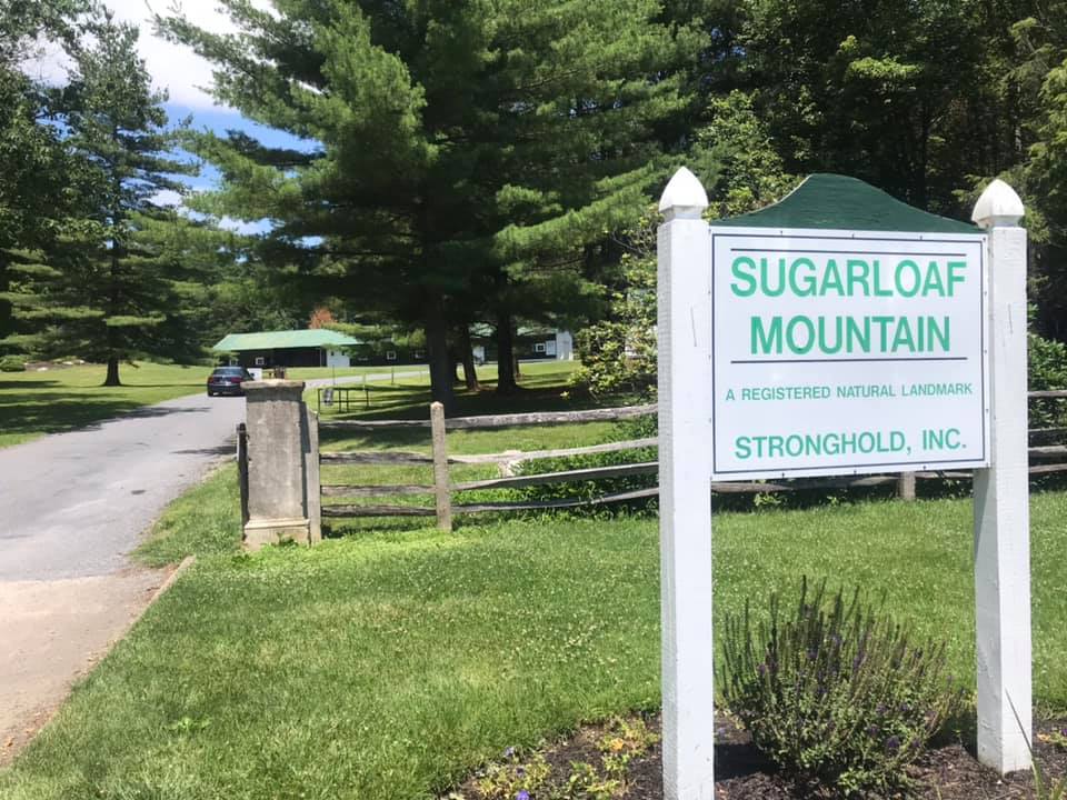
Sugarloaf Mountain – The One in Maryland

POOLESVILLE, MARYLAND

All the years I’ve been riding and I’ve never been to Sugarloaf Mountain – Maryland. I’ve seen group rides in Montgomery Co. (Md.) organized for Sugarloaf and decided it would make a nice ride. And it was so nice I would do it thrice.

White’s Ferry

I mapped out a ride and downloaded it to my Wahoo bike computer. I prefer “loop” rides to “out-and-back” so I made this a loop that would begin and end from Poolesville although from Poolesville to Leesburg would have to be out and back because there’s no other way.

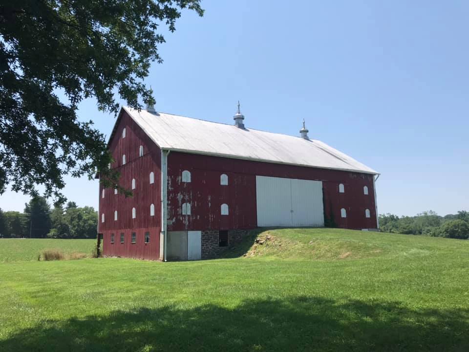
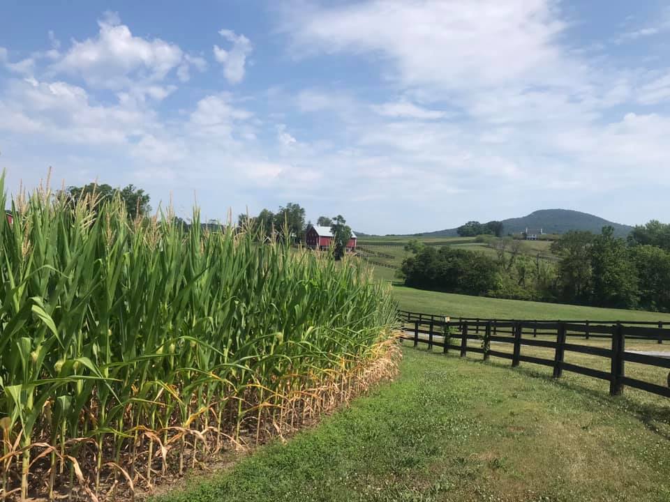
Barn on Martinsburg Road

Every ride needs a ferry. It’s so relaxing to cross the Potomac River at White’s Ferry. Bikes are last off the boat and one advantage is you know for the next 10-15 minutes there will be no cars behind you.

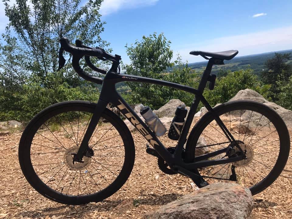
At the observation point on Sugarloaf

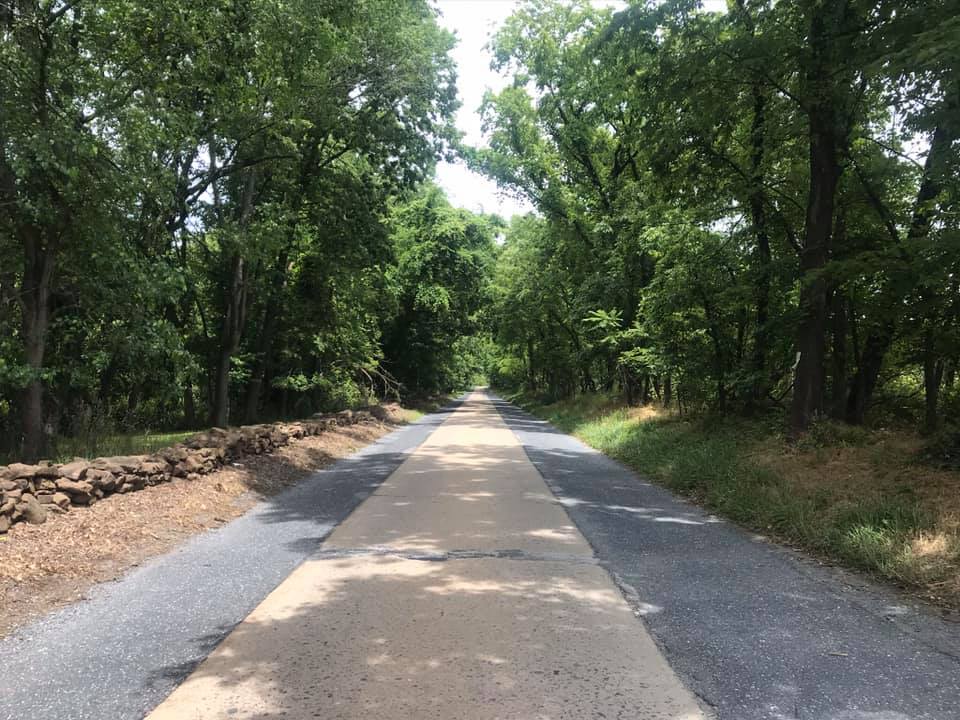
On June 16th I parked in Leesburg and headed for White’s Ferry. After the climb out of the valley, I turned on Wasche Road. It is a country road with very little traffic. It connected with Martinsburg Road which is this cool one-lane looking road in a canopy of trees.

Martinsburg Road

Rte 28 to Dickerson is not so good (traffic) but it’s only a mile and a quarter. Once on Mt. Ephraim Road one can see this hill (mountain) that pops up out of nowhere. On my first attempt, I was going to ride in a clockwise direction but discovered that was the wrong way. So I reversed course and went counterclockwise.

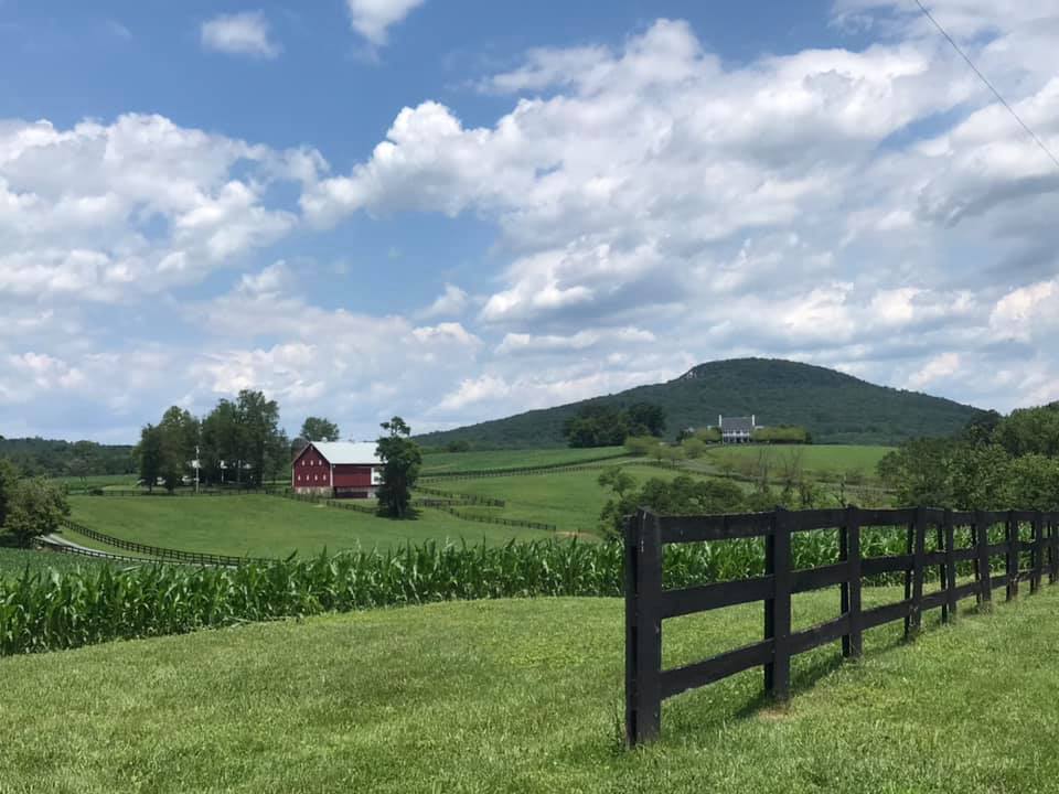
The high point in this picture is Sugarloaf Mountain

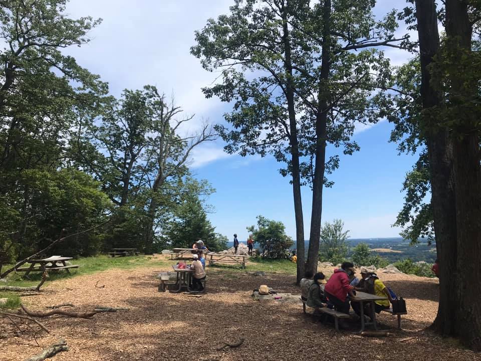
The road itself is not good pavement and it is completely wooded until one reaches the overlook. There is a small picnic area here as well.

Picnic area on Sugarloaf

On my first trip down I turned right on Comus Road. Gravel. Then it was a left on Mt. Ephraim Road which was also gravel. It became W. Harris Road which was also gravel. I took that to Barnesville where I picked up pave. Beallsville Road was lightly traveled but no shoulders and some blind corners – I was not comfortable and would not recommend it.

Sugarloaf

Just 10 days later I invited Tim Casebere to ride with me. We went to the mountain the way I had gone before but this time came back on pave. At Martinsburg Road, we stayed on the road which gave us a really nice descent followed by a nice climb. Wasche Road is a better choice if your legs are hurting. But Martinsburg Road was very lightly traveled. And we saw a wild canine – thinking it may have been in coyote as it was too large to be a fox. Pretty cool.

It has a sign – it must be a mountain

Finally, on July 19, Eryn was visiting from New York and she joined Tim and me to see what the deal was with this ride. It was very hot with temperatures in the mid-90s. We altered our route slightly first going into Poolesville then taking a busier road to Beallsville. But here we caught a break because there was a detour on Rte 28 because of a bridge out at the Monocacy River so we had Rte 28 to ourselves.

Beallsville, Md.

,We had planned, and stopped, on the way back at the Dickerson Market for water. but before I went in I spotted a cold gallon of water (partial) on the porch. I know this was purchased by a cyclist, used to fill water bottles, then left on the porch for the next cyclist to use. I’ve been on both ends myself – sometimes I bought a gallon and left it behind, today I used it. Thanks, cyclist!
Crossing the Potomac on White’s Ferry

The entire time you are in Maryland you can’t quite believe you are in Montgomery County, the same county with Bethesda, Gaithersburg, and Rockville. This section is rural, and while the mountain is not that much of a mountain, it feels more like you are in Frederick County. But what a nice ride.


Dear Andrew and Staci

SALISBURY, MARYLAND

I arrived at 2:30 yesterday as walk-in registration for the Sea Gull Century began at 3:00 p.m. I registered and picked up my rider packet. There was a $15 difference between early registration and walk-in. The $15 is essentially insurance should the event be canceled (as it was in 2015). But I think next year I will just register online and avoid check-in (although you still have to appear to go pick up your T-shirt).

Fenwick Island, Delaware

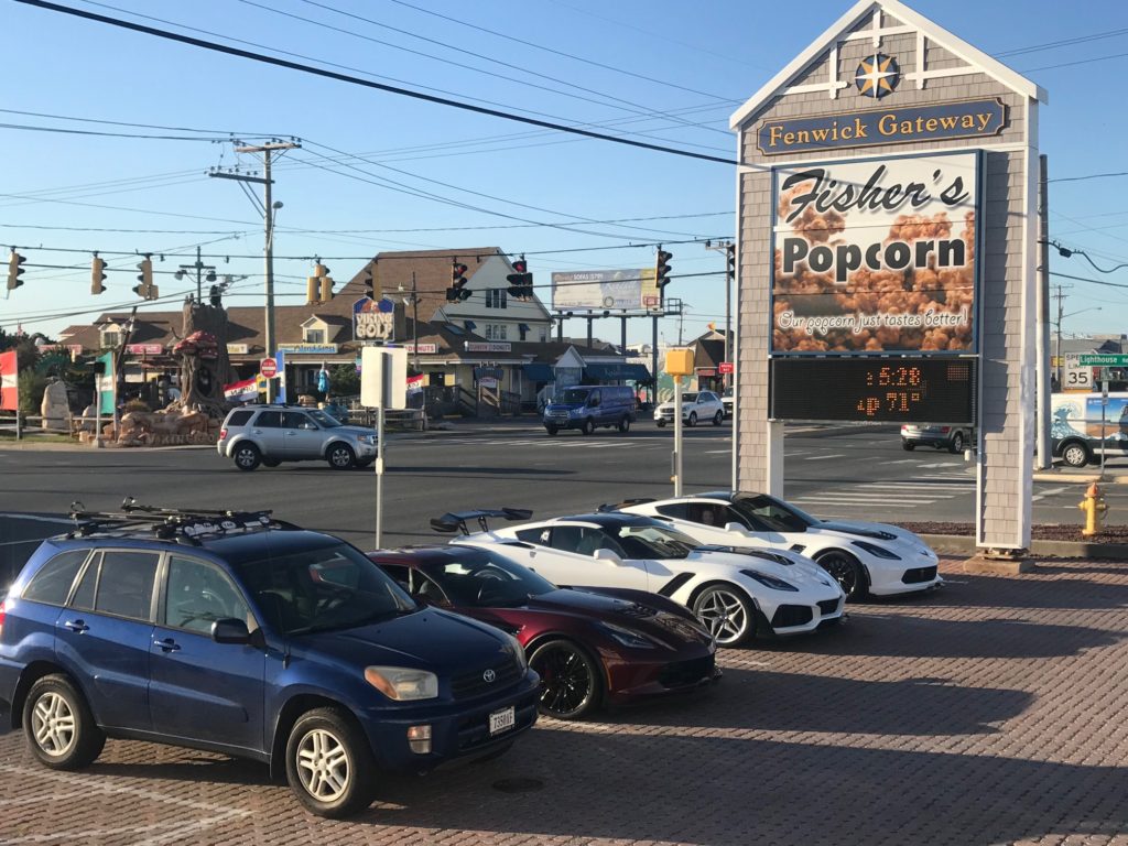
After registration I went to Fenwick Island, Delaware for Fishers Popcorn, a required stop for this trip or I would not be welcomed home. With temperatures in low 70s, it was too nice not to ride. I saw, felt, the wind and knew it was coming from the north. I headed north and it was tough riding. I only rode five miles to Bethany Beach before turning around to enjoy the great tailwind back to Fishers.

The Famous Fisher’s Popcorn


At check-in at the Hampton Inn, a young man told me a big story how his car broke down, he and his wife and child were stranded, and they needed a place to stay. Since I had a room with two queen beds I offered him one of those. He did not accept. The front desk clerks were almost beside themselves that I did this. When the security guard went out to talk to him, they drove off. I may have been born at night but I wasn’t born last night. Hehe.

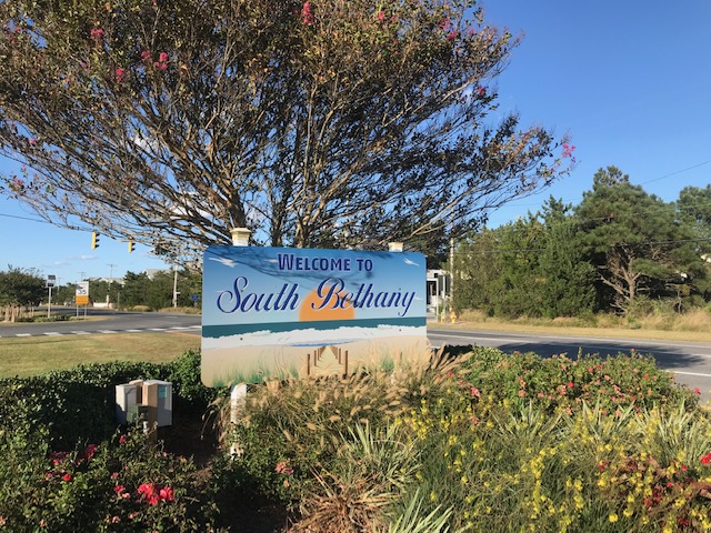
South Bethany, Delaware


Morning came too soon. Lots of cyclists were in the breakfast room as it opened at 5:00 a.m. I stuck my nose outside. It was 52º but no wind. Arm warmers and a vest would be enough for today.

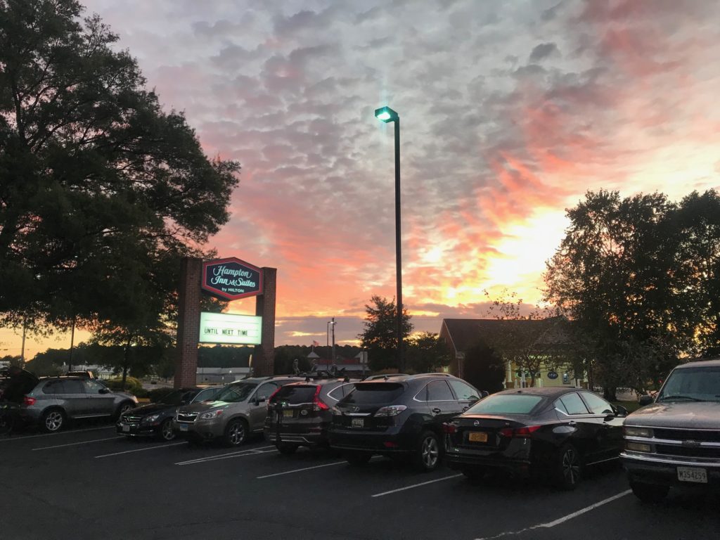
Leaving the Hampton Inn


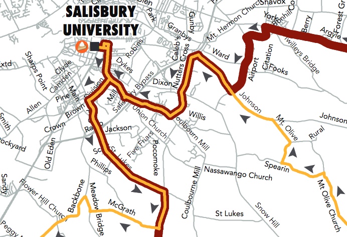
It was a few minutes before 7:00 a.m. and before sunrise. Rather than ride on US13 in the dark to get to the start line at Salisbury University, I made my own route. I wouldn’t start at the official start but make up for any distance by riding back to the hotel after the ride. I had studied the map that the event uploaded and knew they would come down Division Street to St. Lukes.

The original course map. It differed from what they actually used.

When I arrived at Division Street, no one was there. No one. I knew I was early but with 5,000 riders on course surely I could not be the first. I wasn’t. I eventually (4 1/2 miles) found the course. They had come down Old Pokomoke Road. I joined the ride there.

Snow Hill, Maryland


At the first rest stop, I saw a course map. The organization had printed out the map, displayed it on the trailer, but there was white tape over the first portion. They drew in a new route. They had changed the route but not on the uploaded PDF map I was following. No worries. It was fun for a while thinking I was first on the course.

Pokomoke River at Snow Hill, Md.


At the first turn where the two routes separate, I was unsure where to go. I studied the map before I left but not that turn. Were we using the white or yellow seagulls? I asked the photographer and he didn’t know. I asked one couple and they thought they were on the 100-mile route. Stay the course! And it was the right choice.

Chincoteague Bay


This was the fourth time I did this ride. What makes each different is the weather and the people you meet or ride with. Today’s difference was the weather. Temperatures weren’t bad, ranging from 52º to 64º. There was very little sunshine. I would wear the arm warmers all day but eventually unzipped the vest. But the wind that wasn’t present at the hotel was present beginning around 8:00 a.m. And it was strong. All-day long.

Two and three years ago I rode with riders from the Blair Cycling Club (Pa.). Last year I met a woman, Sandra, and two of her friends, and we rode together for 60 miles. Today I met nobody until eight miles to go. Here the Assateague Century and Princess Ann Metric routes come back together.

Near Newark (4 miles)


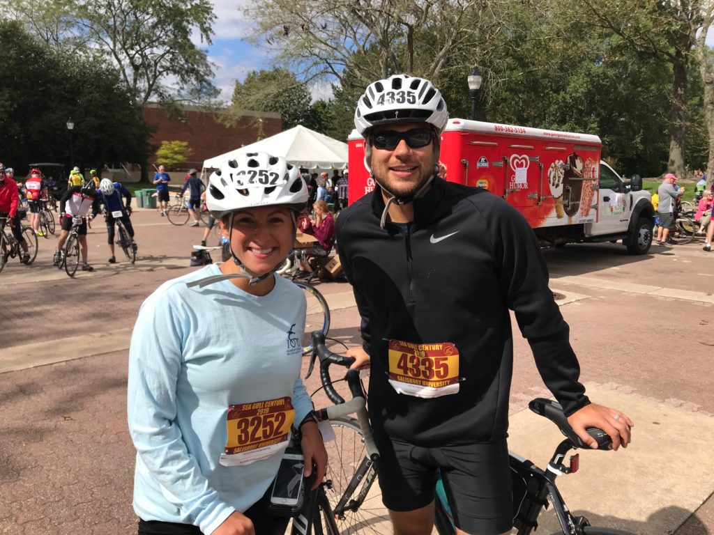
As I turned after the airport, I briefly met a young couple, Andrew and Staci, who were new to cycling and riding their first long event. Staci seemed impressed that I rode 100 miles. I should have ridden with them but had been riding well (18 mph) and wanted to keep up my pace. Staci asked if riding in the wind was easy.

Rest Stop 2 – Newark


If they are reading this, I will tell you what I know. Riding in the wind is hard. Some say it’s harder than climbing because “you can’t see the wind.” But I disagree. Look back six days at the Alpine Loop Gran Fondo, which had plenty of climbing. I averaged more than five miles per hour faster today than when climbing over the Shenandoah Mountain near Harrisonburg, Va. on Sunday.

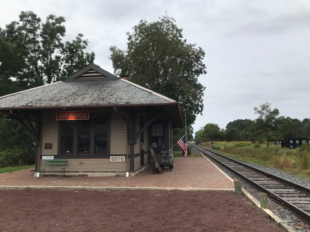
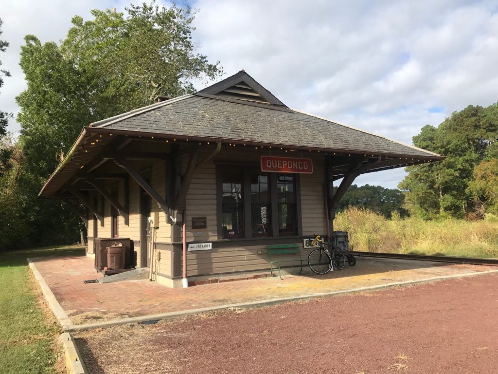
Quepanco Station at Newark, Md.


The key to riding into the wind is to get into a group and draft. Or get lower. Or do both. Generally, I found a group the last three times here. Today, not so much. But one can always “grab a wheel” and jump in a “paceline.” Paceline is mostly a misnomer because on this ride there are mostly wheel suckers. I have yet to see a true rotating paceline like I rode in Indiana in August.
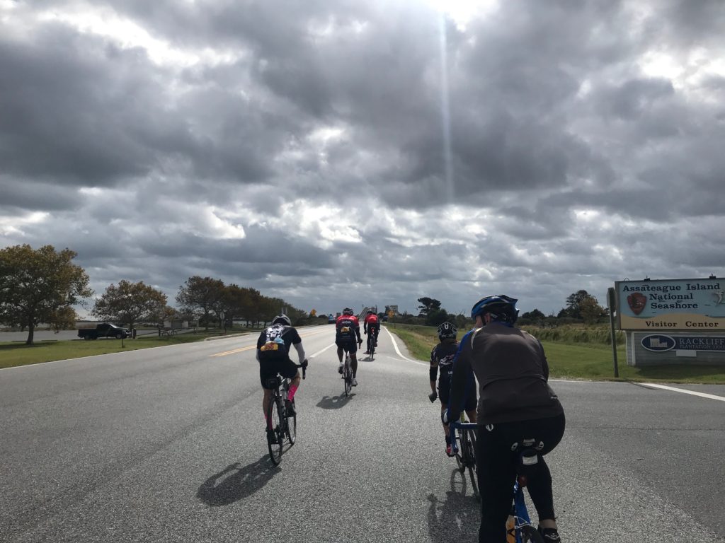
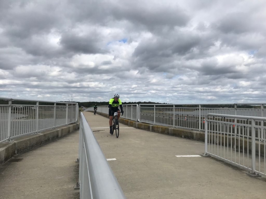
Approaching Verrazano Bridge, Assateague Island


I rode most of the miles solo today. Other times I jumped in with a group for a bit. Fighting the wind is not as hard if you are in a group.

Verranzano Bridge at Assateague Island


My first segment took me to Rest 2. I skipped Rest 1 which is always crowded. I’m usually able to find port-a-johns on route and with temps in the low 60s, I wasn’t depleting my water bottles. Segment 2 took me to the rest stop at Assateague Island.

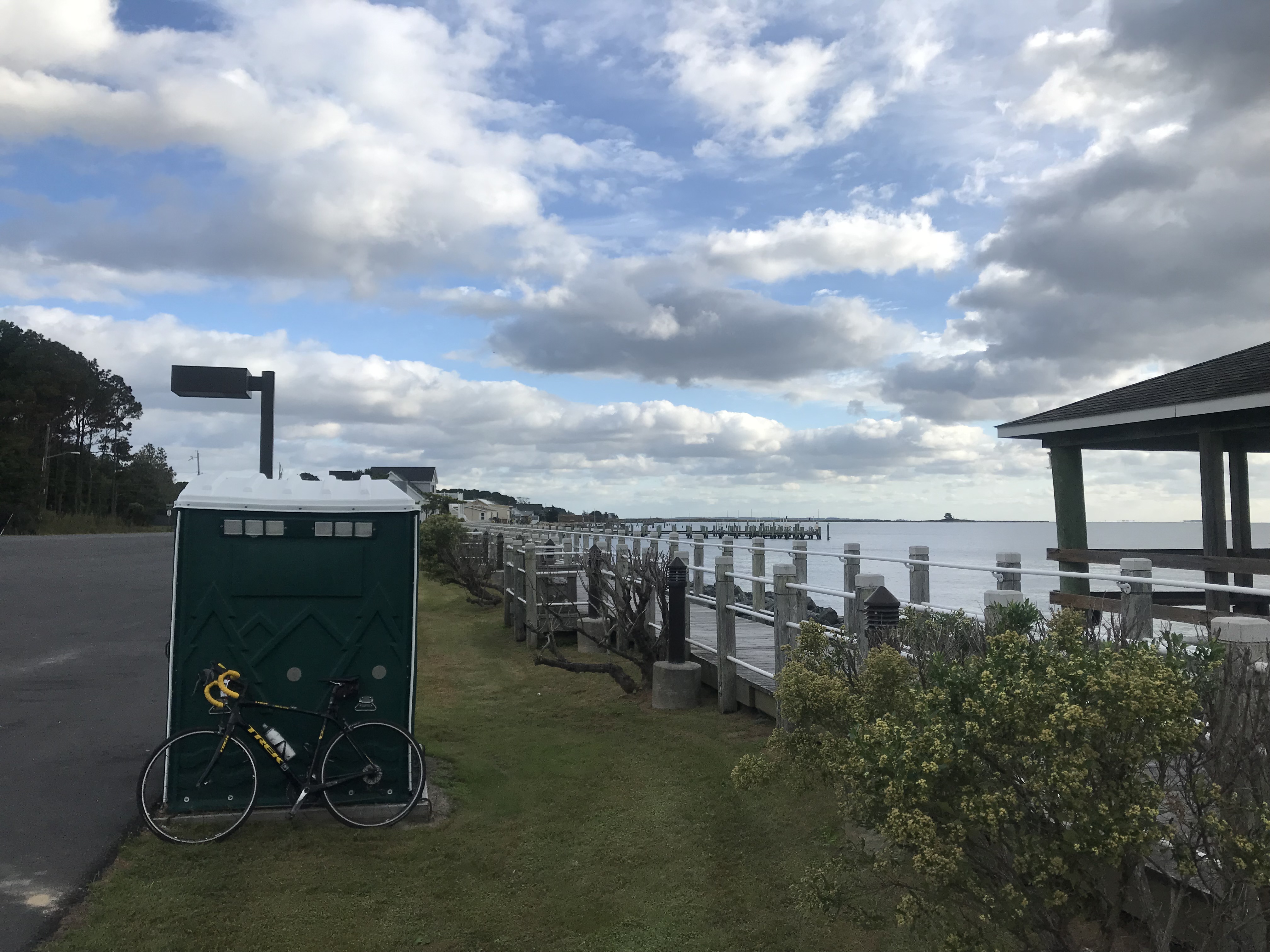
I can find my own porta-a-johns; this one at Snow Hill


Segment 3 was from Assateague Island to Rest Stop 4. It was here, just after Berlin, that I realized I set a personal record for miles in one year. I was feeling good about that when a group of four went by and I jumped on. One rider pulled for 1-2 miles then dropped back. Another pulled for a while then dropped off. But they stayed upfront. There was no rotation. Finally, I went to the front. And I promptly rode off the front. Damn me.

Rest Stop at Assateague Island


Despite arriving together at Rest Stop 4, we were not a group and I didn’t see them leave or wait for them. They may have all been friends. Or complete strangers. I don’t know. I didn’t see where they went once we stopped. The sign at the stop said 17.3 miles to go and I went solo the rest of the way. It was here, with eight miles to go, that I briefly met Andrew and Staci.

Rest Stop at Assateague

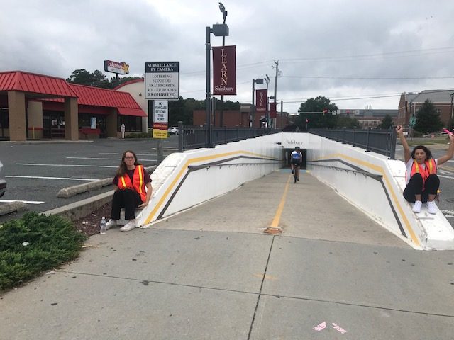
Arriving back at the college is always neat. The route goes under US13 through a pedestrian underpass. Coming out the other side you are at the finish with people congratulating you including the Salisbury University cheerleaders. The event is well supported by the University. The track and field team were the volunteers at Rest 2 (and maybe Rest 4). Apple pie and vanilla ice cream were offered at the end (or cherry pie and chocolate ice cream).

Barry and Cheerleader


I was disappointed today as I saw no horses at Assateague Island. We were at the very northern tip by road which is the Maryland State Park. I talked to a ranger and he explained that they haven’t had a great experience with 5,000 riders in the park as some of them have tried to pet the horses. I almost went into the national park where I knew I would find horses but decided not to.

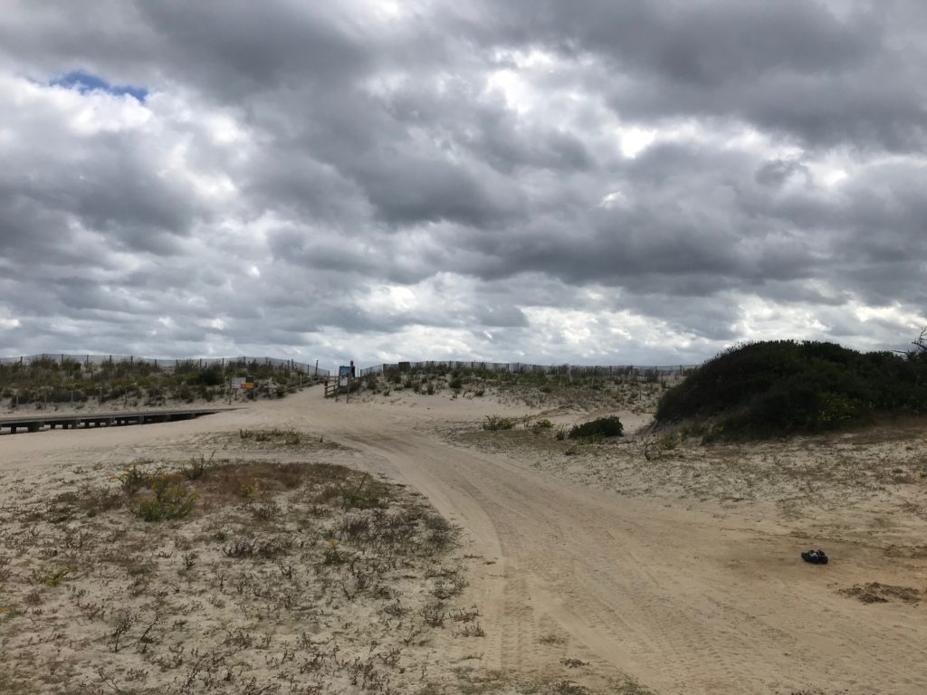
Sand dunes at Assateague Island


Staci asked me if I rode this before and then stated I probably do these all the time. So Staci, here is the answer.

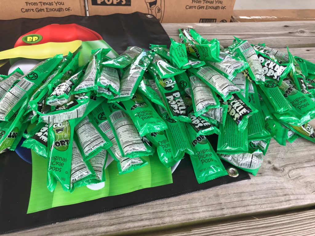
Pickle Pops – I did not try one


Dear Andrew and Staci,

I used to do century rides all the time. Or I feel like I used to. But I had knee replacement surgery 18 months ago. If that didn’t slow me, I had a memory-loss accident a couple of months later. The only century ride I completed in 2018 was this one. The Alpine Loop Gran Fondo last September I cut short and the Horrible Hundred last November in Florida I also cut short. The latter was because I was with friends who weren’t riding the full 100. I even competed in the World Hillclimb Championships in Santa Barbara and earned the title as Worst Cyclist in the World.

This year we did a planned 95-mile four-country ride in Luxembourg but I was sick so no need to add five miles to call it 100 although some in my group did. In Indiana in August, the Spokes of Hope Century Ride was cut short (65 miles) by thunderstorms. At the Alpine Loop Gran Fondo in Harrisonburg, Va. six days ago, I stopped at 78 miles.

Staci and Andrew


After 18 months of previously completing only one century, it was important enough for me to finish this one – and to finish fast. I began to think I may never finish another one. I felt bad pedaling away from you (Staci and Andrew) when normally I would have ridden and talked for a while. I wasn’t just being a dick. Really, I wasn’t.

Windy at Assateague Island


I was impressed that you both have only been riding for just four months. To increase your mileage to ride a Metric Century is a big accomplishment! I was most impressed with that than anything I saw on this ride.

I hope the two of you keep riding. Cycling is healthy, especially when you avoid crashing. For the minutes or hours you are on the bike you are in a different world. Maybe next year you will want to ride the full Century route. If you do, let me know, and I’ll try to ride it with you. But above all, keep riding, and I wish for you Peace on a Bike. – Barry

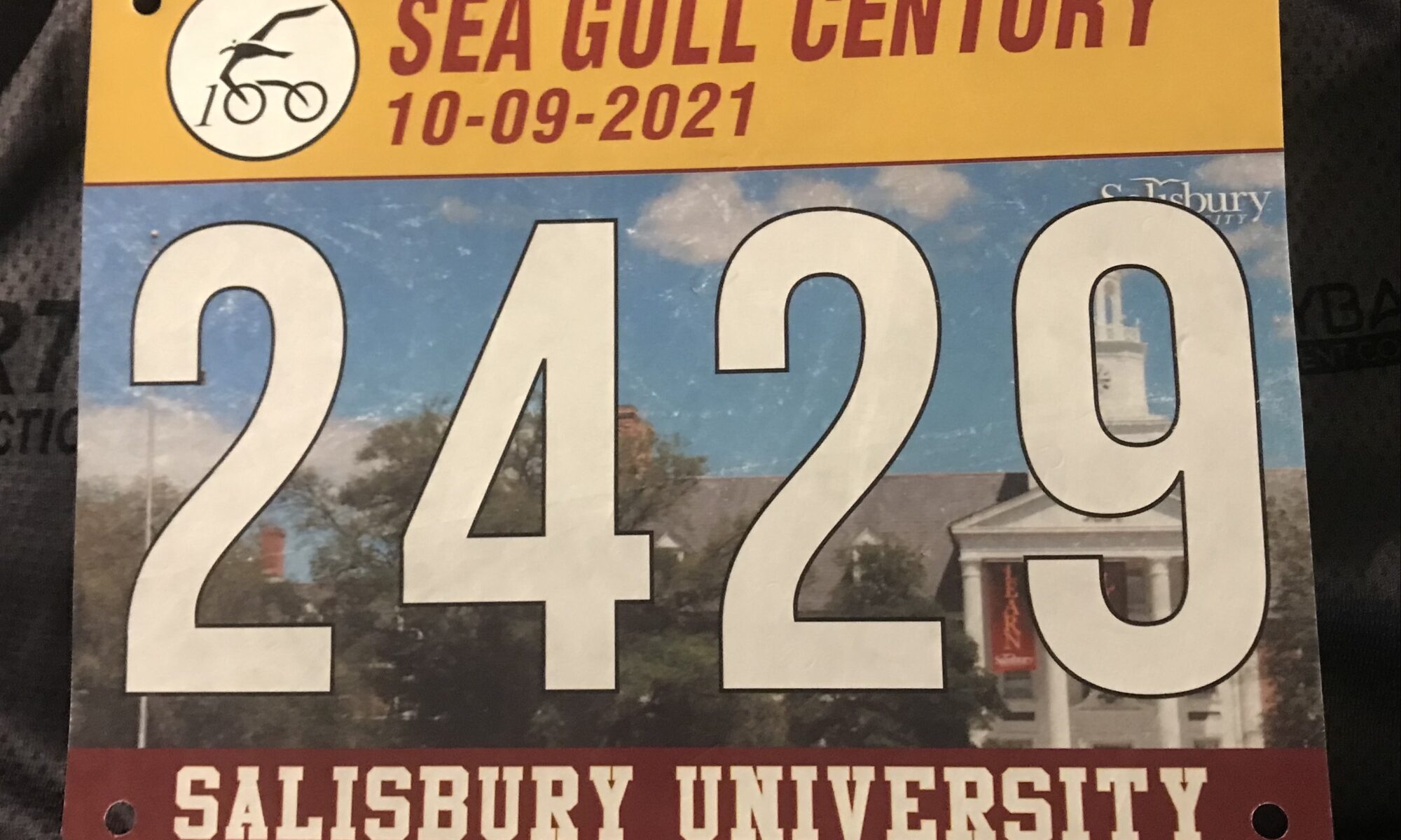
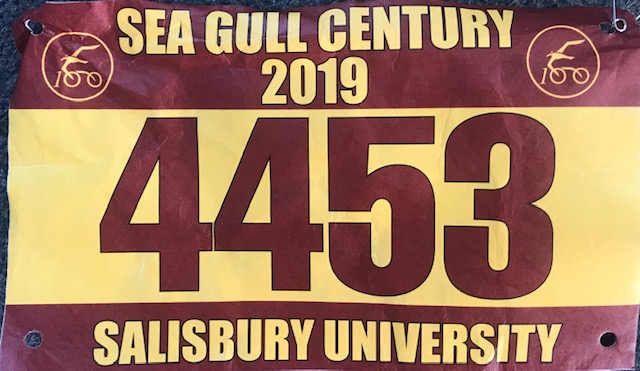
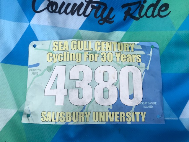
Race Bib


Sea Gull Century

SALISBURY, MARYLAND

Another edition of the Sea Gull Century. It was rainy on the drive in from Ocean City. I found parking at Asbury United Methodist Church although I thought I was still on campus at the time. It was only a problem after the ride when I saw a church and thought that looked like where I parked except I didn’t park at a church. Except I did.
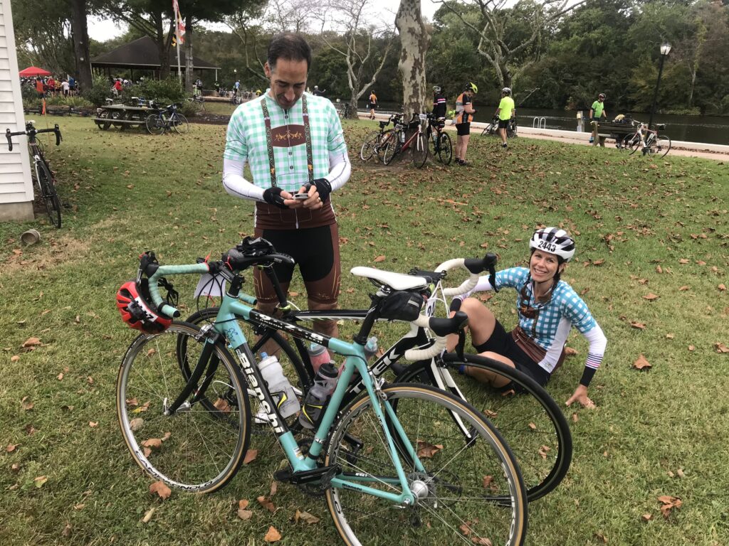
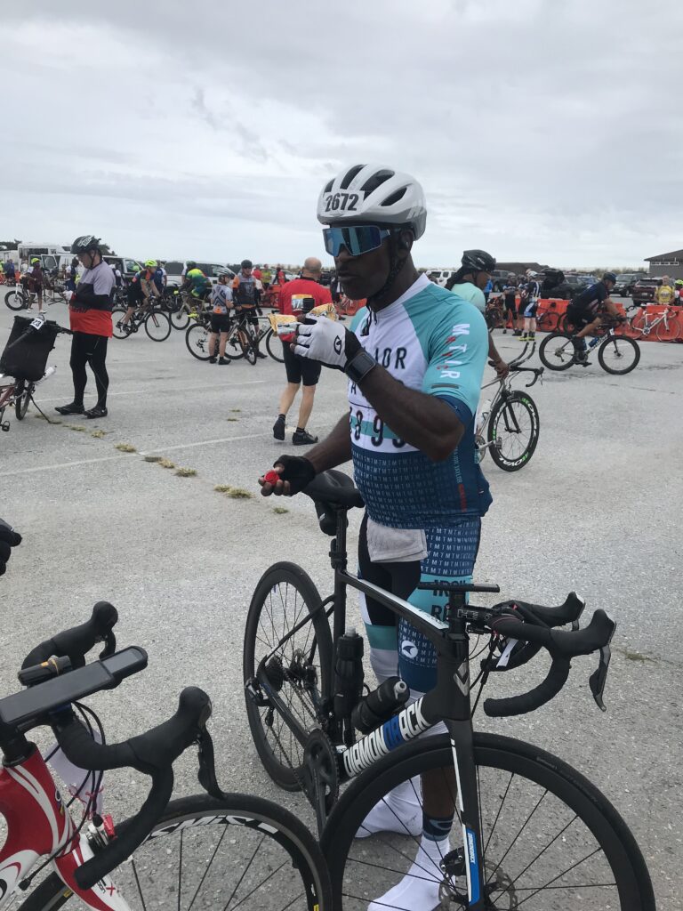
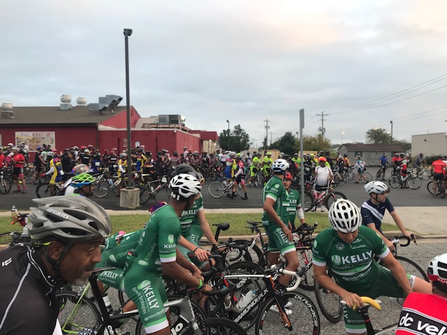
Some riders waiting at the start line

I rolled out to get to the start line which was 3/4 of a mile away. The first group to start was supposed to be pace lines and “other fast riders” although there seemed to be a lot of people at the start waiting for a signal. Probably waiting for friends.

I moved on to the porta-johns, thanks to last night’s pasta loading. There was a loop recording playing stating this was a SHOW AND GO START so when I was done, I went.

The official start line

I decided not to join any pacelines today and just ride solo. I worked my way past some slow riders and within a couple of miles I was “sitting in” with three other guys. We weren’t tearing up the course; just riding sensibly. The route was safe but crowded. A squirrel could have jumped rider to rider for 10 miles and never touched the ground. It would have also been very tired.

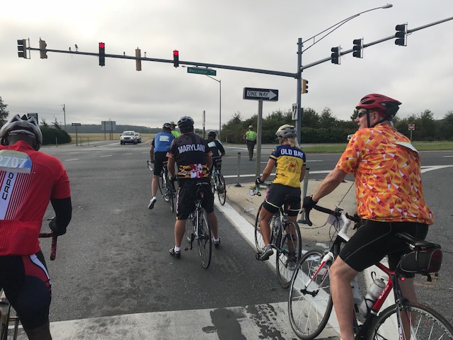
One of the few intersections we did not get waved through by police (who were Great!)

We were passed by a couple of HUGE pacelines. They were flying, probably 30 mph,  and must have had close to one hundred riders in each. It was too sketchy for me. I tried it last year for a mile and thought I didn’t know these riders, they’re not professional bike handlers, and one touch of wheels would be disaster. In addition, my knee has been hurting since the Jeremiah Bishop Gran Fondo on Sunday and I didn’t want to push it.
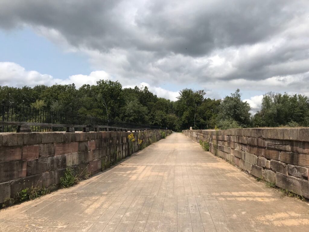
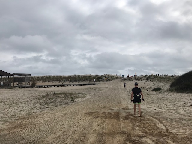
Just over that dune is – the Atlantic Ocean

I went by Rest Stop 1 and eventually was solo. The group I was in and was riding a sensible pace started to break up into ones and twos and was a little too slow for me. I started passing some people and came upon two riders side by side with one woman following. My pace was a bit faster and as I passed the woman I saw a jersey with Colorado climbs. I slowed to talk.

The jersey was from the Bicycle Tour of Colorado. The rider, Sandra, told me she was with two guys but they weren’t going to wait for her. She seemed mentally to be struggling with the thought of today’s century. And she would become my ride partner for the day although I didn’t know it at the time. We rode 3-4 miles to Rest Stop 2 (I had blown by Rest 1). She caught up with her friends at the stop and after I filled my water bottles I looked but she was already gone.

My bib for the day

I didn’t think too much of it. We hadn’t ridden together much and after meeting her friends I thought maybe they would pace her. Plus I had bigger problems. My Garmin showed 0.0 miles. Somehow it had reset. I didn’t know what happened to the data (44 miles) and was disappointed that my data might show 60 miles instead of 100.

I rolled out from the rest stop and was riding solo passing some riders and thought I should slow down, let a group pass me, then jump in. And I did that. A group of about 10 rolled by and I latched on. We soon caught Sandra who was up the road riding solo, and I told her that this group was her speed. She joined us. We rolled together to Assateague where she met her friends and introduced me to Greg and her other friend (who has no name).

Greg asked me if I was pacing her and I told her I was. Or he asked if I was waiting for her. So the four of us rolled out of Assateague together.  Greg set a pace and when it got too fast for Sandra I would drop back with her. Eventually, a fast paceline came by and Greg jumped in with them. That left me to pace Sandra and soon, 10 others.

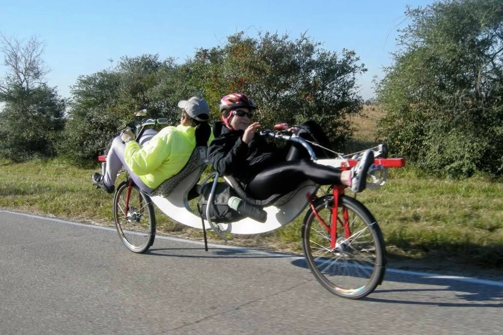
Stock photo from Internet;
I was passed by one of these today.

I kept my eye on Sandra and when I got the pace too high, I would back it off. I thought someone, anyone, from the 10 riders on my wheel would come forward but none did. This is the Sea Gull Century where everyone wants a free ride. I’m not complaining, I did that for the first half of the ride. I even purposely slowed the pace thinking it would be too slow for someone and they would come up and pick up the pace. None did. So I towed them all the way to the Rest at MP 80.

When we left there we rode together. Again, Greg was with us then he went when he found a faster group to jump in with. Sandra and I rode sometimes side by side and she expressed amazement that I was just chatting and she said she was struggling. She asked me just to pull her, which I did. (Insinuating, just pull and shut up – LOL)
Sandra entering the finishing underground at Salisbury U.

We pulled into the finish line together. I showed her the “actual” finish and she said, “I’m good.” And then she left. No goodbyes. No thanking me for pacing her for most of the ride. It’s not like I wanted her phone number (she was my kids’ age) but no goodbye. It just seemed like an odd and disappointing way to end. I found the pie and ice cream and found my way back to my car.

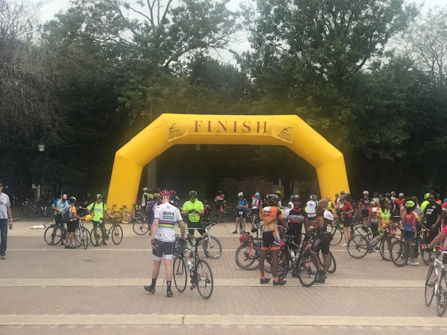
The official finish line

I had a good ride. My knee, which had been hurting, wasn’t hurting too bad. Even backing off my pace to ensure Sandra would reach the finish, I was happy with my total time. And then I checked Garmin and saw the missing data was there, saved in a separate ride. I would go to a site called gotoes.org which could take two rides and put them together as one. I did. It worked. One long ride.

The rain in Ocean City at 6:00 a.m. had dried up by the start. It was overcast most of the day with just a brief bit of sunshine. Leaving Assateague we had a bit of “spitting” rain but nothing to make us wet. Occasionally the roads were wet but the overcast kept the temperature in the low 70s and made for a pleasant ride.

And while I may be playing the hero for helping Sandra, in truth, she helped me. I hadn’t done a ride longer than 80 miles this year and my rebuilt knee was hurting. Helping her was really helping me. And she helped me to a great ride.

And some things we talked about:

  • Ride the Rockies no longer has a lottery but is first-come-first-served
  • RAGBRAI is mostly a camping event
  • Trek Travel is a great touring company – go to France
  • Hot Shot stops cramps
  • Watch the 2018 UCI World Championships, especially the Jr. Men and Jr. Women’s Races
  • Phil Gaimon and The Worst Retirement Ever
Verified by MonsterInsights