
Robbie Ventura – Photographer
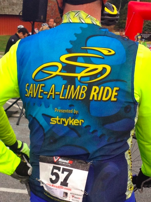
The Save a Limb Ride in northern Baltimore Co., Md. Special guests were Robbie Ventura, Ben King, and Jens Voigt.
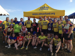
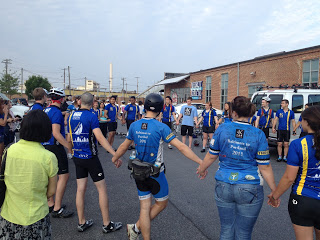
Sendoff
It was sendoff day for three groups of young adults to ride across the country fighting cancer
Five Weeks Later I Finished
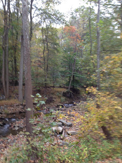
Severe weather forced me to cut short the Civil War Century six weeks ago so I came back today to finish it.
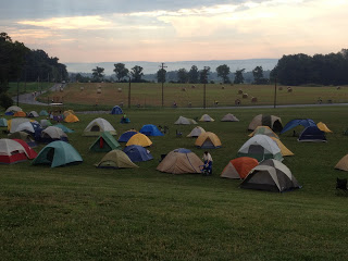
24 Hours of Booty
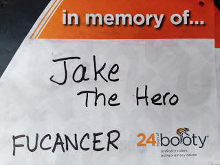
COLUMBIA, MARYLAND First, the name. The “Booty Loop” is an area in Charlotte, NC in the Myers Park neighborhood where a number of fit people, runners and cyclists, go to exercise. Or maybe look at booty. A fundraiser for cancer, the 24 Hours of Booty started some 10 years ago with loops around the neighborhood. […]
My First Bike Ride With Dad
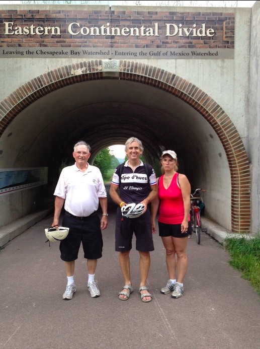
It wasn’t until my dad was 82 years old before I had my first bike ride with him
Recent Comments