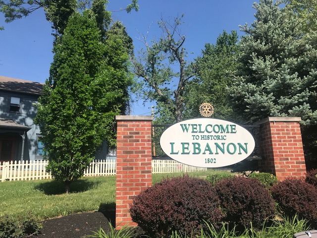
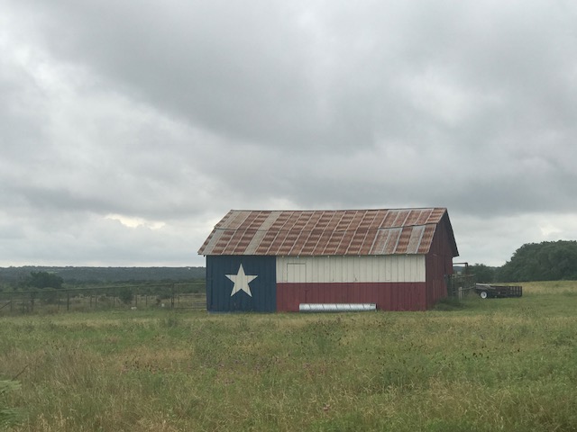
Out Cold

PIQUA, OHIO

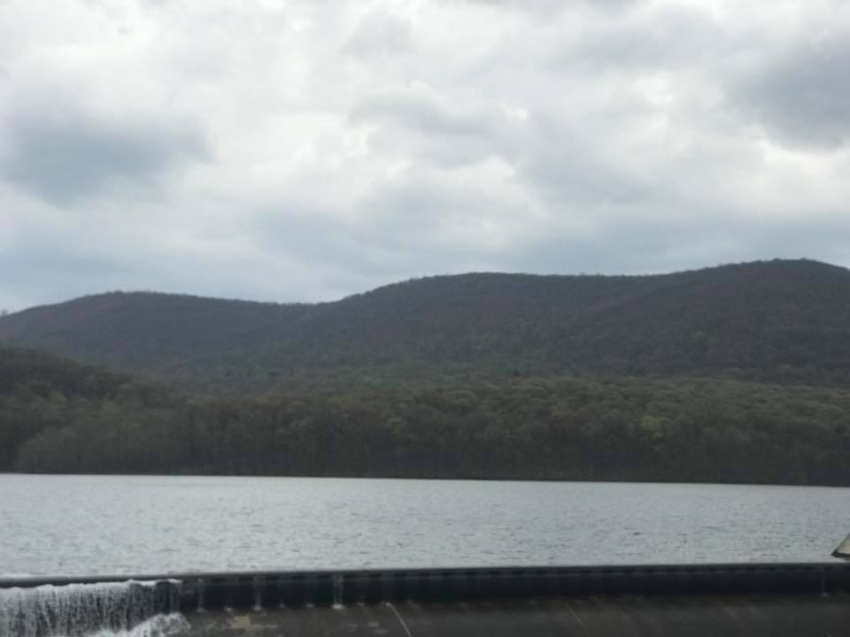
I was unconscious for some while. I was groggy and slowly waking up. I remember seeing a river and hearing a voice. Where was I?

After at least six surgeries in the last 15 years plus another 2-3 “procedures,” I was used to waking up from anesthesia. There’s a bit of grogginess followed by a desire to go back to sleep. Each time I knew I was in a hospital and would be going home in one or two hours. I felt like I was coming out of anesthesia. But this was different.

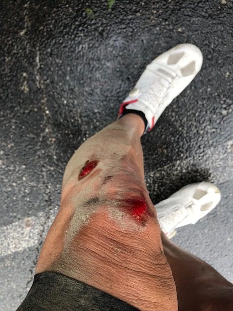
The left side of my body hurt. My leg was bleeding from road rash. My left shoulder hurt. I thought I may have broken my collarbone. But mostly, I wanted to go back to sleep.

The high bridge in Piqua

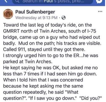
I heard a voice. I don’t remember a face with the voice and the only words I recall were “I’ve called 911 and I’ve answered that question seven times now.“*

I had no clue where I was or what I was doing. This was much different than 15 minutes earlier.

I never saw the voice or the owner of the voice although I had been giving him answers while he called 911. I don’t remember any of that. Or anything. Most of all I don’t remember what I was doing and I didn’t know where I was.

Click to listen to the 911 call that was made

Somehow an ambulance made its way onto the trail and paramedics were talking with me. I don’t remember any of the conversations with one exception. I asked where I was. The response was “Ohio.”

Paramedics at the trail head

I certainly had no idea I was in Ohio. I don’t remember going to Ohio. I had a car but don’t remember driving it there. And I didn’t know where it was parked. While I usually wear my ROAD ID 24/7 with my contact information, on May 16, 2018, it was safely stashed away in the glove compartment of my car – wherever that was.

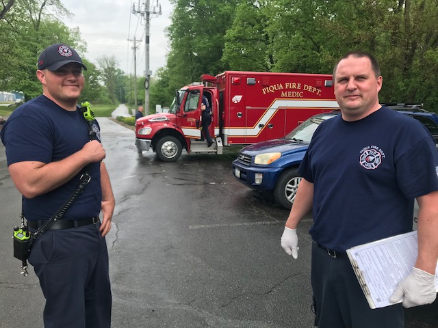
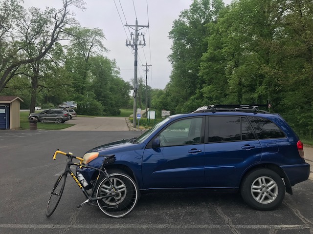
A park ranger arrived in a pickup truck. At first, I didn’t know where I was so I certainly didn’t know how I got there and where I was parked. Or if I was parked. But my memory slowly was coming back and they asked me if I was parked at the trailhead about a mile south of here. They had seen my car and I told them I was parked there. The paramedics wanted me to jump in the ambulance but I just wanted to go back to my car. I did not try to ride my bike. They put it in the back of the truck and the only act of clarity I had was to turn off the Garmin so it did not record more miles than I actually earned. I rode with the ranger.

Some of my memory was coming back to me. We traveled almost one mile when we came to a trailhead which is where I had parked. The ranger asked me if that was my car and I told him it was. I remembered my car. That was a start.

The paramedics stopped and checked me one more time. I was parked right across from the highway from a hospital. They encouraged me to go to the E.R. to get cleaned up. I was pretty bloodied and my shoulder hurt, reminiscent of my broken collarbone five years ago.

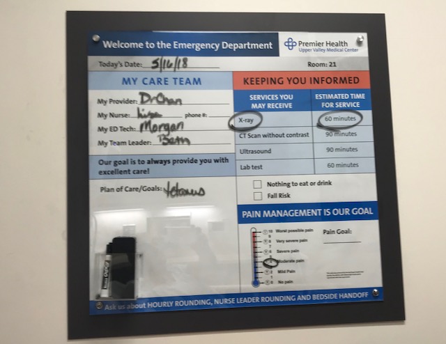
The parking lot at the hospital was crowded. I saw one empty space up front for handicapped parking. I took it. I had a handicapped parking placard still in effect from my knee replacement surgery and on this day I needed to be close. I was still in a fog and forgot to hang the placard but wasn’t ticketed.

I was wearing cycling shoes. My cycling jersey was ripped. A nurse asked me if I had been biking. And that was sort of the highlight of the exam. They cleaned my leg wounds (mostly) and X-rayed my shoulder (negative). The nurse told me she was going to take my blood pressure again. I said to her “Again, but you haven’t taken it yet.” She responded, “Don’t you remember? I took it when you first came in here about 30 minutes ago.”

Have I been biking?

Despite this exchange, this was not enough to suggest they should examine me for a head injury. And while it’s possible they did a full exam on my head which I don’t remember, there was nothing on the discharge paperwork stating they had checked me for a concussion.

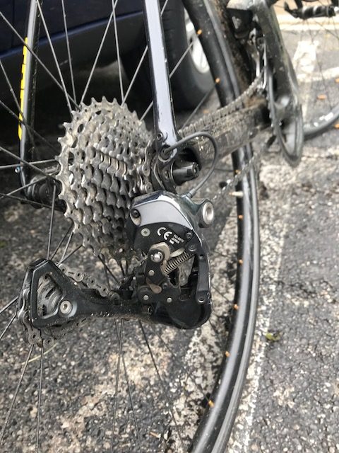
I would not have been happy but they should not have discharged me and let me drive. But I left and went back to the trail. I was going to ride some more (this was the primary indication I had a head injury). I went to get on the bike and saw the rear derailleur was messed up. The hanger was broken. I could not ride.

Broken hanger

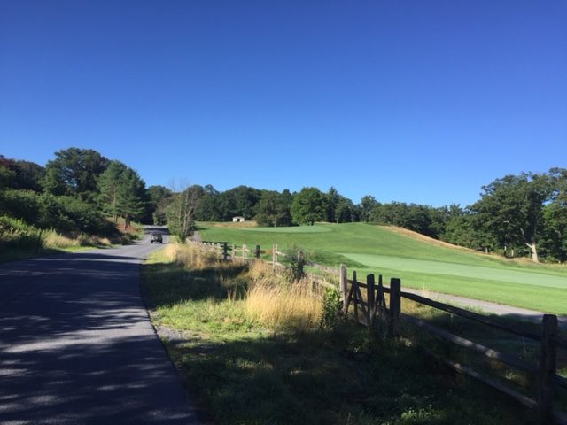
Slowly my memory started coming back. It was a cool and cloudy day. It looked like it might rain at any moment. And I wanted to ride near Piqua.

The Sherry family in front of the Lockington church/parsonage in 1966. L-R: Brenda, Bernie, Naomi (holding Betsy), Brad, Rev. Harry, Barry

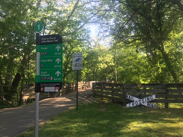
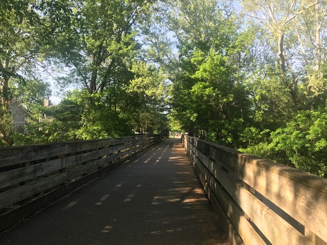
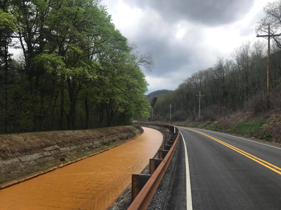
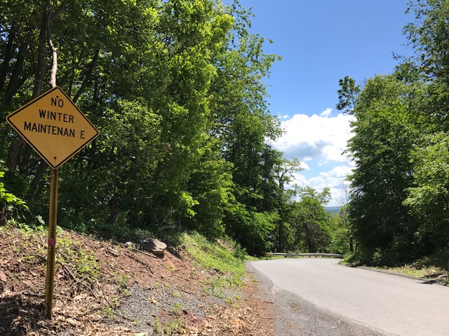
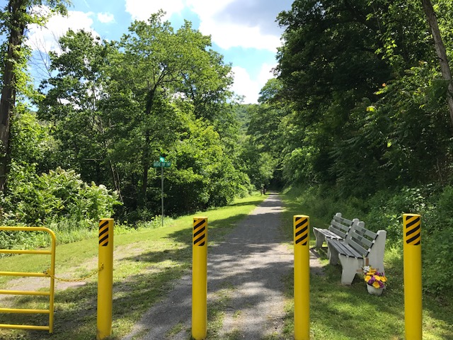
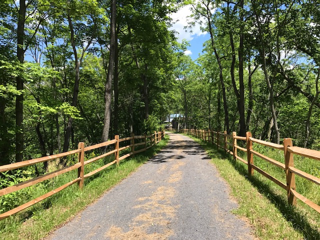
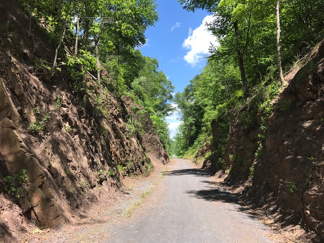
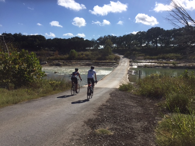
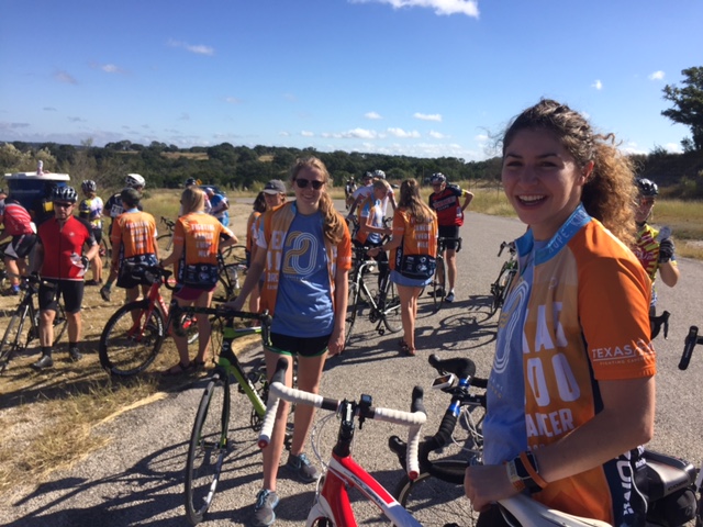
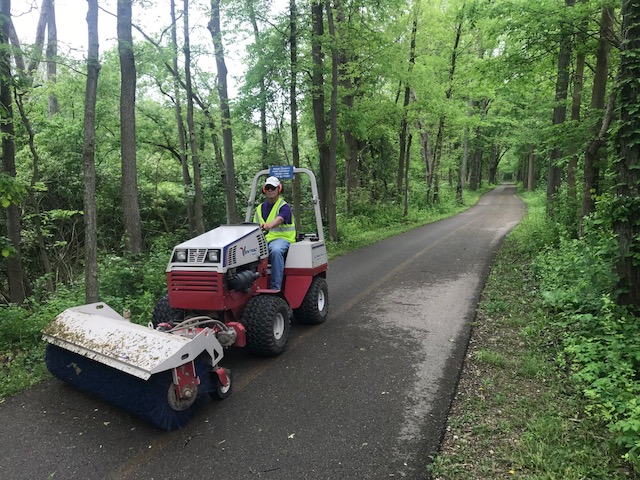
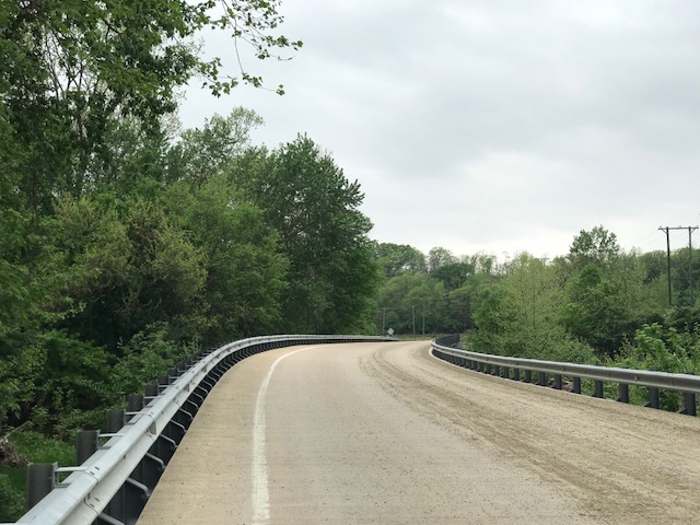
This was to be a pre-ride before the Ride of Silence in Dayton at 7:00 p.m. I had parked in Troy at a trailhead of the Great Miami River Trail and ridden north to Piqua. There was some mud on the trail and I passed a worker sweeping and I thought he was spreading the mud around.

Worker spreading the mud around on the trail

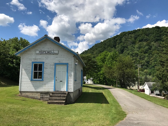
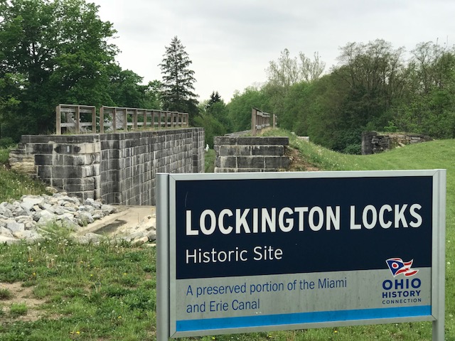
I chose to ride this morning’s route as my own journey back in time. We had moved to the small village of Lockington in 1964 when I was almost nine years old and lived here for three years. The small parsonage is now an extension of the church.

Lockington Kirkwood Bridge

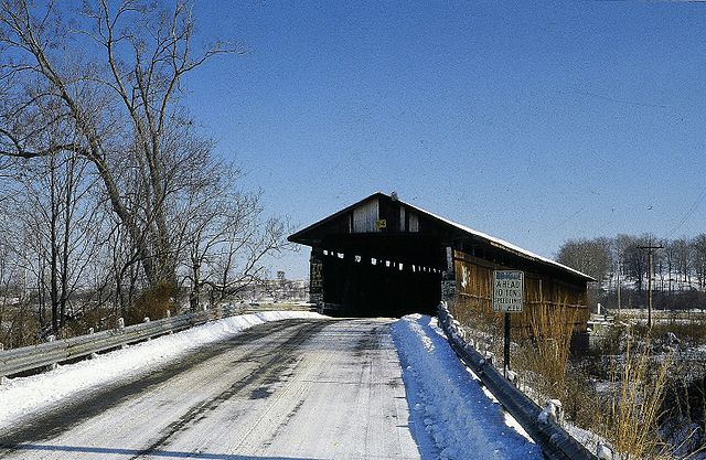
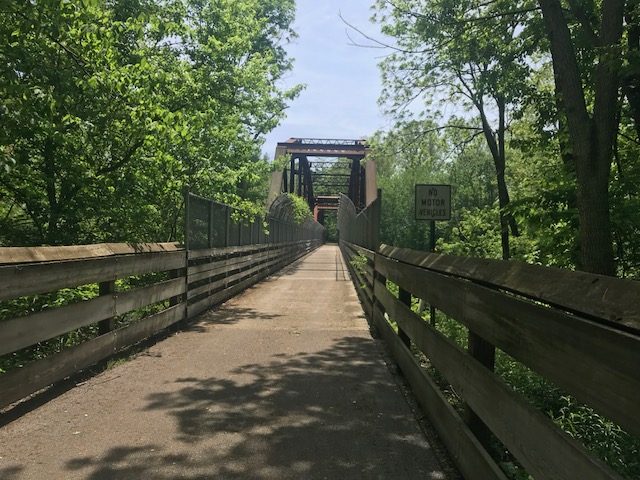
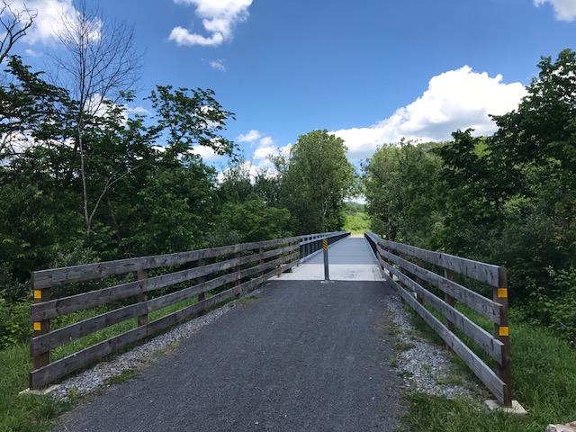
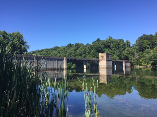
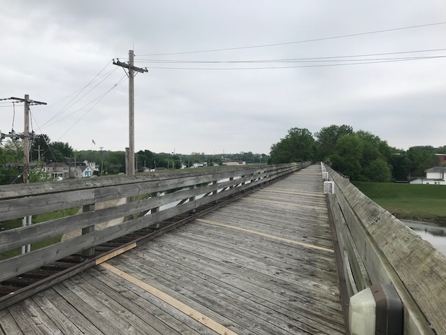
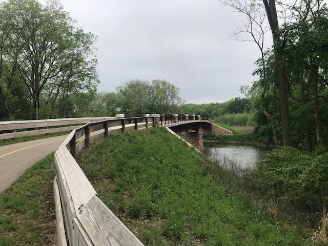
From Piqua, I rode to the Kirkwood bridge which was a covered bridge when I lived here. As a kid, I could ride my bike all over and this one was tough because in an otherwise pancake-flat topography, there was an actual hill to ride down from Lockington and then back up. The bridge burned in 1989 and was replaced with just a bridge. Looks like a roadway.

Kirkwood Bridge today

As a kid, I rode my bike to deliver newspapers (Piqua Daily Call – I made 2 cents per paper), to the Piqua Country Club to golf, and to Piqua to Echo Hills Golf Club where a youth season pass cost $5 for the year. No helmets and I don’t remember ever carrying water.

The former parsonage in Lockington, Ohio

We would use our bikes to get litter off the roads. A soda (or pop) bottle was made of glass and carried a 2-cent deposit. These were like gold to kids. Find five, and it wasn’t that hard, and we would take them to Forsythe’s Frozen Locker in Lockington. We could trade those five in for a cold Mountain Dew (10 cents) that we would drink there. A bonus would be to buy a frozen Zero candy bar for another five cents. While history will tell us the 1960s were a turbulent time for a kid growing up, actually they were pretty good.

Forsythe’s Frozen Locker, Lockington, Ohio (closed)

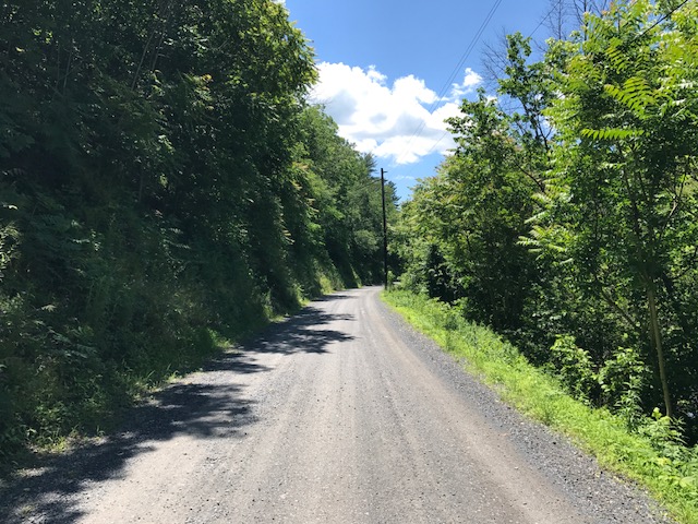
It was a nice trip back in time. I found myself a bit fearful on some of the roads with the cars going by too close for comfort. And I think back to 50 years earlier when I was a kid. I rode on these roads and either those drivers were much more careful than today’s drivers, or probably, as a kid, I just did not perceive the risk of riding my bike on a highway – as a 12-year-old.

Nuclear Reactor, Piqua, Ohio

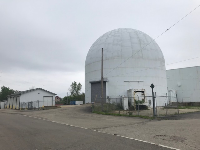
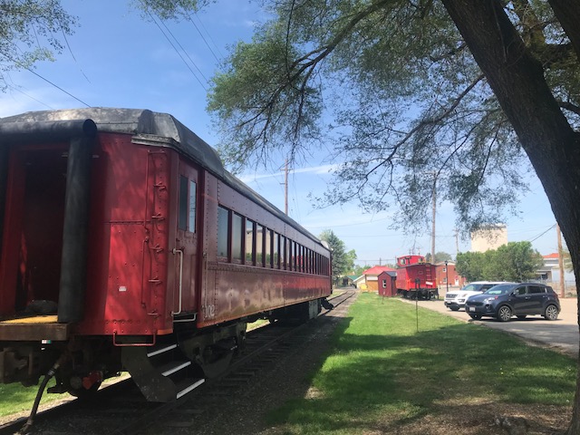
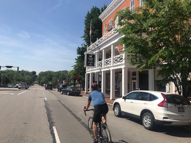
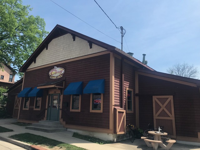
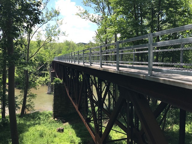
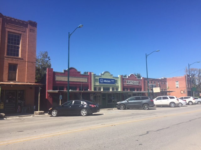
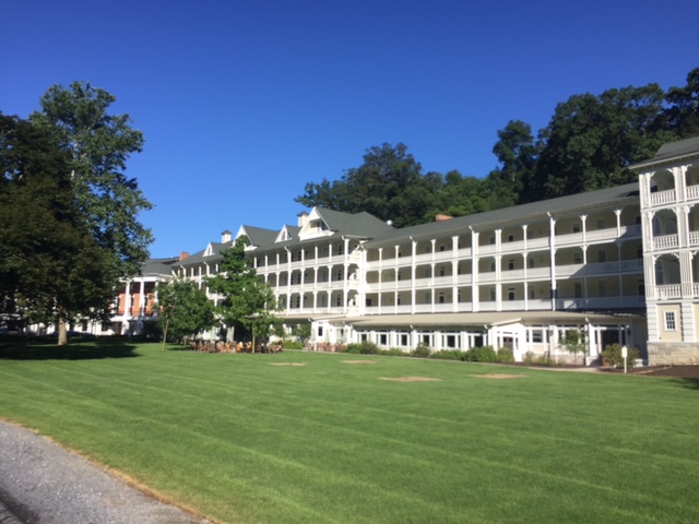
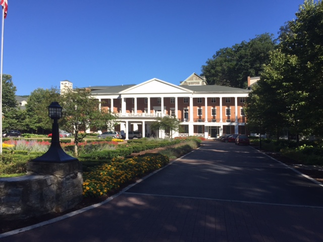
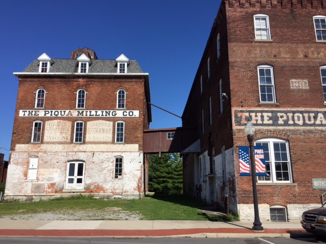
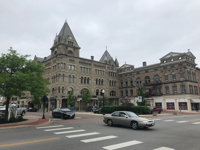
Piqua is such a beautiful city and I rode through it twice. The trail passes the nuclear reactor which made Piqua the first nuclear-powered city in the U.S.

Lockington Locks

I made my way south on the trail and remember crossing the Great Miami River where four people were walking and taking up the entire width of the trail. I rang a bell and politely announced “passing” and thought it was a bit strange that three moved to the right and one moved to the left. I went right through them. And my memory ended right there.

Bridge over the Great Miami River

What happened next will remain a mystery. I have no memory of being on the trail south of the bridge. I would wake up and see the river and hear a voice.

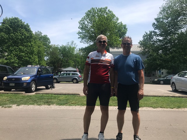
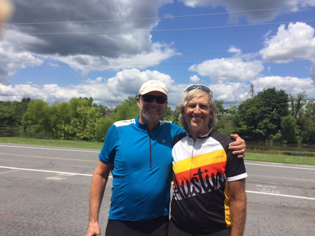
I would later compare the time stamp on my Garmin file with the timestamp of the 911 call and determine I was unconscious on the trail for six minutes. A retired Piqua cop, Paul Sullenberger, happened to be riding by and saw me. It was his voice I remember hearing.

Library, Piqua, O.

I don’t recall how the ambulance(s) got there. Nor do I remember talking to the paramedics. But I did. I don’t remember the 911 call yet I can be heard talking on it. I must have undergone some type of exam – and passed. I was told later that I knew the date and my name. I don’t remember having any conversation.

After 90 minutes the E.R I was discharged. I was still in a fog. A major fog. I just hoped to make it to Springfield, Ohio, where I had pre-paid for a room. I did. I was still sleepy but knew with a head injury that sleep wasn’t good. I stayed up as late as I could and went to sleep fearful that I might not wake up.

___
*The question was “Did you see me go down?” (He hadn’t)


Facebook Post – 11 days later. I stayed off electronics up to that point because of headaches
Notice the reference to the neuralyzer and the Alien emoji.

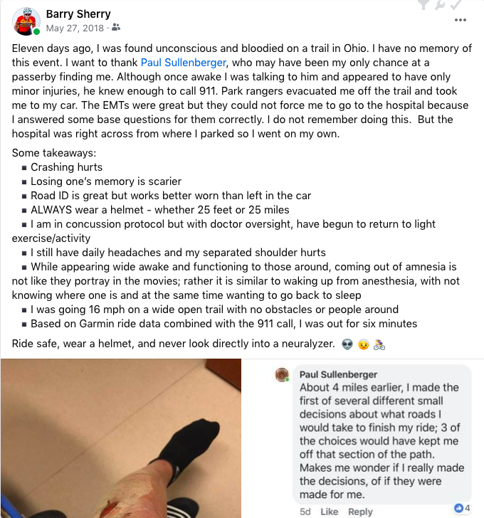
As I worked to reconstruct what could have happened there was one thing that puzzled everyone. My injuries were on the left side of my body (photo). I thought I broke my collarbone (again) as my left shoulder really hurt. There were no injuries on my hands which are usually the first thing injured in a crash since the body instinctively puts the hands out when crashing. Was I unconscious before I crashed?

My bike was broken. There were scratches on the side of the bike and the rear derailleur hanger was broken. The derailleur is on the right side of the bike, of course, and so were scratches to the bike. So I fell heavily on my left side but the bike was damaged on the right side. That made no sense then and it makes no sense now.

My only answer: Alien abduction and anal probe. And when they were finished with me they staged the accident incorrectly. There is a missing time gap in my bike’s computer for the day. Plus my butt was sore, probably from the anal probe. Also from his Facebook comment, Paul believes he was directed by something to come find me.


EPILOGUE – Maybe because I had some photos on my phone, some of my memory of that day returned. But nothing after crossing the Great Miami River up to the moment of the crash and much of the next couple of hours after the crash is gone also.

No one can explain what caused the crash or the biggest mystery of why my injuries were on my left side but my bike was damaged on the right side.

Loveland and Lebanon

May 15, 2018

LOVELAND, OHIO

I came to Ohio to ride the Little Miami Scenic Trail and to catch up with my friend, Bob. I parked in the beautiful little town of Loveland where we would meet and ride north.

Little Miami Scenic Trail in Loveland

Even before 9:00 a.m., it was a balmy 79ยบ as we rolled out of Loveland. Our destination was initially was Morrow where we would find lunch.

Loveland, Ohio

We had ridden less than eight miles when we came to a spur. I saw the trail with the sign towards Lebanon. Although we stayed on the LMST for another 400 meters, I raised the possibility of following that trail.

Little Miami Scenic Trail, Loveland

We turned around and followed this trail for one mile before the trail ended and became signed bike path. At first, we followed Ohio Rte. 15 north before deciding that this wasn’t going to be the most bike-friendly route to Lebanon. We turned around and followed the bike route signs we initially missed (or ignored).

Lebanon

Surprisingly, we had a hill to climb. Yes, a hill. Although Ohio is generally flat, and the LMST is definitely flat, the closer you are to Cincinnati the hillier the terrain becomes.

Bob riding through downtown Lebanon

We got over the hill but as we were descending to Lebanon, Bob had a flat. And no repair kit. I had a spare tube and we were able to repair his tire and keep going.

Lebanon

Lebanon is a pretty town. IMHO, almost all these Ohio towns are beautiful. The older the houses the wider the streets and the prettier the town.

Lebanon

We found a nice place to eat at the Cherry Street Cafe. With some outdoor seating it was the perfect place to eat, nestled in near the train museum.

Cherry Street Cafe, Lebanon

We were on the other side of the hill from the LMST and with full stomachs had to ride back up over the hill from where we came. Of course, we got to enjoy a nice descent back to the spur trail then over to the Little Miami Scenic Trail.

Loveland

Going back we remarked how many squirrels we saw. Shortly after that observation a squirrel darted out and just missed my wheels. Unfortunately, there was a thump as Bob hit it. Bob was lucky he did not go down. The squirrel was not so lucky.

Crossing the Little Miami River on the spur trail to Lebanon

The trail is lovely. Loveland is beautiful. I would love to come back someday and ride the entire trail.

Barry and Bob Berberich, Loveland, Ohio

The Real Test

ALTOONA, PENNSYLVANIA

Two days ago was the first test of my rebuilt knee over Henrietta Mountain Road. Although that was a steep climb, it lasted just two miles. Today would be the real test.

I parked at Logan Valley Mall and headed up 58th Street to begin my climb up to and past Horseshoe Curve. It was windy with a westerly wind coming over the mountain and thus would be in my face as I climbed. It was okay though as it was great to be outside on a bike.

I began the climb with a diversion to Leopald Park to use their outhouse. Don’t want to climb with a full bladder.

Once back on the road I could see one train above me, slowly working its way down the mountain. As Reservoir One, I could see the acid mine runoff water in its own channel keeping it out of the good water. Someday I will have to see where that acid water goes.

I stopped briefly at the Horseshoe Curve site, just long enough for a photo op. Then it was through the 200 foot tunnel where the climb up Glenwhite Road really starts. It was cloudy and there was some moisture on the road from an earlier rain but I avoided any rain that was in the area.

The channel diverts acid mine drainage past the reservoirs

As I climbed it dawned on me that if I were to describe this road to a stranger I would tell them when they look ahead and see where the road kicks up and they think that’s the hard part – it isn’t. Oh no, it isn’t. And thus I decided to do something different today. Not look up.

I saw where the road turned and started to kick up. I looked down. I stared at my front tire and bike computer, never looking up at the road ahead. Of course, I have almost memorized this road having ridden it 3-4 times each year since 2009.

This road holds a special place in my heart. Not only does it like to kick my butt, but when I was diagnosed with cancer nine years ago, this was my happy place. This was the one place I could ride and not think about the dreaded disease.

I began the climb. Head down. My legs knew I was climbing. My heart knew I was climbing. And my GPS knew. I could see the grade go from 12% to 14% to 18% to 20%. Oh yea, I was on the wall.

Every time I climb this I state that I forget how hard it was. Today was not the case. It was hard. Damn hard. But not quitting time hard. And I think it really helped not looking up at all.

When the grade came back down to 12% I decided I could look. I knew I was near the summit and I had about 100 meters to go. Although even at the top it’s another mile to the real summit.

I rode the 2.5 miles across the ridge through Tunnel Hill and then descended Sugar Run Road. It was windy, although it felt like a bit of a crosswind. I hit 46 mph, without trying, on the descent. Made it back to the car at the Mall – it was locked this time.

It was a great day on the bike. Any day one can get up Horseshoe Curve is a good day. My knee gave me no problems other than some fluid/swelling. But no pain. This was the real test and my knee passed.


A Test of the Knee

SAXTON, PENNSYLVANIA

It’s hard to believe that it has been 12 weeks since my knee replacement surgery. I don’t think my knee is where it should be but I will withhold judgment until my next doctor’s appointment.

Since surgery, I have ridden less than 200 miles in total. In many years I am over 1,000 miles and sometimes over 2,000 by this time. But I am not completely “without legs.” I have been riding a stationary bike almost every day, often for up to an hour at a time.

This road. Henrietta Mountain Road. I found it only because some Altoona locals told me about it a few years ago. And I rode it last year. It compared to some of the toughest two-mile climbs I have done.

Last year I struggled. I even thought about stopping on the climb. Or turning back. But this year I seemed at peace with it.

I drove to Saxton and looked for a place to park. I found one at the intersection of Pa. 26 and 913. The car was off the road but otherwise out in the open. I pedaled to the foot of the climb. Just after starting and no more than one-half mile in, I wondered if I had locked the car.  I had left my car keys (I had the clicker), wallet, and laptop computer all in the car and available to anyone if it wasn’t locked.

Although I didn’t remember locking it, of course, I always lock it. I decided it would be foolish to go back to the car. There are somethings that you do automatically and locking your car is one of them, right?

The lower section of the climb starts at 6-8% then gets tougher. Soon the grades were 12% and some reached the 20s. I stayed seated, mostly, but occasionally got out of the saddle. It was hot (87ยฐ). For the two-mile climb, only six cars had to pass me. The road is lightly traveled.

At times, I could feel the knee clicking. I could hear the rhythm of the knee. But it didn’t hurt so I pushed on.

The road is steep. Period. I didn’t “paperboy” but I crept. I didn’t stop. I just kept the momentum going.

I did not review the route. The first/last time I turned around at the top. Today I went over the top. I expected to level off and come into Rt. 164 at the top of the mountain, and have a great ride back down. Oh boy, was I wrong.

It was a nice descent into a valley although I did not lose all the elevation I had climbed. It just felt like it. I followed Henrietta Mountain Road to the end, catching two Amish girls with a horse and wagon.

I came to Rt. 164. Instead of being at the top of the mountain, I was at the bottom. And here the road is high-speed, with a 55 mph speed limit. There were guard rails on both sides and no shoulder. And uphill of course because I had to cross back over the mountain. I regretted this route.

But I survived, with a note not to ride this way again. On the descent, I pedaled until I ran out of gears. I hit 49 mph. I so wanted 50 but with a 50 tooth front cassette, and a swollen knee, I just couldn’t find it today.

Back to the car but fully satisfied. I opened the car and found it was unlocked. Sick feeling. But checked. Keys there. Wallet there. Laptop computer there. The car was undisturbed. Whew! Dumb by me.

In the evening the legs felt sore. Like they had a workout. It’s been a long time since I was able to push myself on a climb like that. So glad I did. And looking at the map there may be another way back if I do this one again.

A Mountain and a Rail Trail

HOPEWELL, PENNSYLVANIA

Probably eight years ago I asked some riders from Altoona what the hardest climb in the area was. I was thinking Blue Knob or Horseshoe Curve. One rider told me to find Henrietta Mountain Road. And today I did.

Parking at Hopewell

This was was tough. Although it wasn’t too long, just two miles. It’s always hard to compare climbs but I can compare it to some other two mile climbs or sections I have done.

That’s pretty good company, I would say.

I started my ride in Hopewell (Bedford Co.) on the H&BT rail trail. More on that later.

At Saxton I found the infamous Henrietta Mountain Road. I did no research and instead, just rode. It seemed to kick up to 7-8% right away. But after a quarter-mile just past an intersection, the real climb began.

Henrietta Mountain Road and intersection with Rte 164

It seemed to kick to 12% then went even higher. I have no real pictures because I wasn’t stopping although my body wanted me to. The road was winding but with only one sharp turn I hesitate to call a switchback. It was heavily wooded on both sides. It was beautiful. But it offered no panoramic views because it was so wooded.

Summit of Henrietta Road looking back towards Saxton (the tough side)

I tried to not look up the road because every time I did I could see it was going higher. After two miles, although I had no idea at the time, I could see the top. And here I made a mistake by not researching the climb. I assumed the road went over the top and down the other side. So I simply turned around.

A barn on Rte 26

The descent back was steep. Rough pavement. And windy if not sharp turns. It wasn’t fun. I couldn’t let the bike roll. What I learned after the fact was I should have kept going. I could have gone another 3-4 miles where I would have joined Rte 164 coming out of Martinsburg. Then It looks like a straight descent back to Saxton. In other words, a fun descent. Oh well, next time.

Crushed limestone at Hopewell

I rode back to Hopewell and explored the trail a little more. At Hopewell going north for two miles, the trail is crushed limestone in great shape. A road bike is fine although I wouldn’t want to ride 20 miles on this.

Gravel road headed south from Hopewell

Going south the trail was a road. A gravel road that led to a camping area. That was harder on the bike. I rode a couple of miles then decided I had had enough. Wrong bike for this surface.

H&BT trail near Cypher

The signature landmark on the trail seemed to be the trestle over the Juniata River. I had decided the surface wasn’t right to pedal to it.

Bridge over Juniata River near Cypher

The trail head seemed to be on my way back to Somerset where I was headed. So I drove to Cypher to bike that section.

I don’t know if it was good or bad but the trestle was probably no more than a quarter mile away. But it was gorgeous. Maybe even more gorgeous was the cut in the hillside. The trail here was crushed limestone, again.

Bridge over Juniata River near Cypher

It’s a beautiful trail. If there wasn’t the section by the recreational area which was a gravel road, I’d have no problem recommending a road bike for the surface. But this trail needs wide tires. I may ride this on a mountain bike.

Cut in the hillside by Cypher

______________________

Atlas

LAMPASAS, TEXAS

The event was the Texas 4000 Atlas Ride, the official first day of the Texas 4000. Riders had the option of riding 25, 50, or 70 miles, often determined by the friends and family that came to the Atlas Ride.

I drove to Cedar Park and met Will, who brought along a Garmin mount since my BarFly mount broke yesterday. I made it to the start with five minutes to spare.

After the National Anthem, the current 2017 team of Texas 4000 riders were the first to depart. They were followed by alumni riders. Then the rest of us.

I had no expectations for the ride. At first, I was sitting in with a group then decided to go faster and bridged up to the next group on the road. A “train” came by with about 10 riders and I jumped in. We were flying until we came to rest stop one. I stopped but no one else did.

Back on the road, I kept my own pace until another group came by. We had a good pace until we came to a rest stop. They all turned right (rest stop). I turned left (70-mile route). I was all alone.

I soloed for about two miles then pulled over to fix my handlebars which were misadjusted. Eventually, another group came by. One of the riders was Scott Towle from the 2004 group – the original group. The official story was that Chris Condit, the founder of the Texas 4000, was in San Francisco when the Hopkins 4K was just finishing. And that brief moment was the inspiration for the Texas 4000.

Later I saw a Hopkins 4K jersey from 2006. I did not get the rider’s name but he shared stories of the early years. He offered his opinion that the Texas 4000 does a much better job at building community within the teams than the 4K for Cancer does.

The 50-mile and 70-mile rides followed the same course except the 70-mile ride diverted to the west, probably 10 miles, and found some wonderful grazing areas protected by many cattle guards. It was a free message on the bike.

For much of the ride, it was overcast but humid. I was drenched. There were some raindrops but nothing of significance until safely in the food tent.

Will and I rode together the last 30 miles. We integrated with a group of 2017 riders and I started talking with Trey Curran, a rider with the Sierra route. As we got close I remembered the Silent Mile. Surprisingly Trey, nor his teammates had heard of it. When we came to the last mile, I slowed and looked for the signs. Jake. Alex. Amelia. I even doubled back to make sure I didn’t miss them. Found them all.

I ended and was greeted by name. I think that helmet sticker (and number) was a clue. I turned into the main area and saw Ayesha, my Bicycle Buddy from last year.

I got food and sat with the Rockies 2016 team, having met them last year.ย  Then Vanessa found me. I moved to sit with her 2014 Ozarks team. While eating the skies opened up and poured. It lasted about 20 minutes but sent water throughout the tent we were sitting under.

I also got to meet my bicycle buddy from this year – Luis Salazar. Luis is a bright and athletic young man. I also learned that he will not make it all the way to Alaska as he will have to return on Day 48 to start medical school. Well done my friend!

Luis and Barry

After the rain we sought out the signs from the Silent Mile. We then found Amelia Schmidt’s bicycle buddy, Lauren Nix. She wrote a note on the sign for Amelia – to be delivered to her front yard on Tuesday.

As I was leaving, Trey came over to say goodbye. That was actually very touching.

The Texas 4000 does it right. A wonderful event where friends and family can ride with this year’s team – 25, 50, or 70 miles. And very well attended by alumni. I just wish we didn’t need cancer rides.

_____________________

A view of the ride using Relive.

Livestrong Challenge 2016

AUSTIN, TEXAS

It was humid if not warm when I lined up in the 100-Mile riders’ coral. Our pre-ride instruction included a doctor who told us that number one we should have fun and number two “be safe.” Interesting. I think safety should always trump fun. But maybe that’s me.

At the start - 7:30 a.m.
At the start – 7:30 a.m.

The first 10 miles to Aid Station #1 is one big mass rollout. Police patrol the many intersections leaving the city and at most traffic lights we could roll through. The crowd started to thin out approaching the aid station but it was mostly one big group ride. At the Aid Station, I pulled in and found a mechanic, who happened to be from Mellow Johnny’s Bike Shop which is where I rented my bike. Since I had no pump with me and had the bike since Friday, I knew I would need a little air. He pumped up the tire, refilled a water bottle, and was out of there in three and one-half minutes. I wanted to keep my rest stops short.

My favorite gas station

I rolled into the second stop for water. This time it was 90 seconds. I went by the third stop which used to be the cookie stop. I guess it still was. Damn. There was a sign warning riders the next stop was the cutoff for the 100-mile route at 10:30 a.m. I rolled into Aid Station #4 at 9:50 a.m.

Crossing the Blanco River

Then it was off to the Wall. Or as it’s called, Devil’s Climb. I was on a rental bike. My guess is when I rode this route four years ago my Trek Pilot was fitted with a 30:28 gear ratio. It was difficult but I don’t remember struggling (like everyone else seemed to be). This bike was set up with a 34:28. I’m older. The ratio is worse. It’s not getting easier.

Texas 4000 Aid Station at top of Devils Climb
Texas 4000 Aid Station at the top of Devils Climb

The climb was hard. Damn hard. There were more people walking than riding. My Garmin was set up with a maximum heart rate of 180 and Garmin was going nuts because I was over that (186). I was displaying heart rate and knew that. My legs ached and my body wanted to quit. But I would keep going.

Blackberry the chicken

I pulled into the aid station near the top of the climb (essentially it was at the top) and talked to the kids from the Texas 4000. This was their aid station and they were quite helpful. I spent 24 minutes here which represents half the time I spent in all stops.

Pulled into this campground to check in for tomorrow's flight
Pulled into this campground to check in for tomorrow’s flight

The roads from here back to the finish were very “heavy.” Chip and tar, heavy on the chips. Not a smooth surface at all. It’s hard to pedal on this surface but must keep moving.

Buda, Texas
Buda, Texas

I stopped at each aid station after this. It was hot (90 degrees) and I needed to keep my fluids topped off. Around Mile 70 we saw the chickens. I think it was an FFA group and the girl proudly displayed “Blackberry.”

2016-10

The roll in to the finish went well. Ninety-nine miles went OK but that last mile forced me to think why am I here? Why am I here when Jake and Alex are not? Or Joe Petrucelli? Or Nancy Natoli?

2016-09
Survivors get a yellow rose

I rode by myself all day. I never hooked up with anyone all day long. It was just a 100-mile solo effort. So I entered the finishing chute and made sure I was alone. I stayed right, for survivors and videoed as I got my yellow rose for they hand out for survivors.

I rode for many today. I did not wear a survivor’s bib. I have transformed so that this ride is not about me – it’s about others. I’m thinking this was my last time. It was if it is only for me. But if I ride for others I may be back.

2016-11

And if I ride it again, I have to remember, NO RENTAL BIKE. I want my bike which is geared a little more favorably to the Devil’s Climb.

Dave Wright, Kelly Wright, Barry Sherry
Dave Wright, Kelly Wright, Barry Sherry Team CCC

Spokes of Hope Saturday Ride

TREXLERTOWN, PENNSYLVANIA

Our riding group from Spokes of Hope met at the Valley Preferred Cycling Center for what has become our annual ride in the valley.  I joined Ken and Cindi Hart, Jay Bodkin, Kathy Robinson, Andrew Werner, and Branan Cooper (but Branan could ride only for a short bit).

Ken Hart, Kathy Robinson

Cindi asked us to gather and we formed a small circle. She gave thanks for friendship and then I offered up that this must also be a dedication circle. I led by speaking about Jake, whose family I had visited an hour earlier. And I dedicated my ride and day to Amelia Schmidt.

Bowers
Bowers, Pa.

We rode out country roads to Topton. But not without incident. Jay came to railroad tracks and did a bunny hop. He hopped right out of his cleat – the shoe suspended on his pedal. He did an emergency repair and we were able to continue as a group.

Topton
Topton, Pa.

We did a loop out to Bowers and ended up at the cafe in Topton next to the railroad tracks. While drinking milkshakes and smoothies (I had a smoothie), Cindi asked for a hill on the return ride where we could ride for the people we have dedicated to.

Near Topton, Pa.
Near Topton, Pa.

Andrew found a hill near Mertztown. Cindi and I went up. I yelled for Amelia and Alex and Jake.

SOH16_6

Andrew and Kathy followed. Jay and Ken watched. After the dedication, we passed a pumpkin patch and were surprised to see they were harvesting pumpkins in August.

Well, at least this writer was surprised.

Cindi Hart
Cindi Hart

It is always great riding with these cancer survivors as they enjoy their lives and triumph over cancer.

SOH16_8
Clockwise: Ken, Andrew, Jay, Kathy, Barry, Cindi’s shoes (Credit: Cindi Hart)

Extreme Skinny Dipping

BEDFORD, PENNSYLVANIA

I met Rocky Sprow and his friend, Ed, at Fort Bedford. It was a beautiful morning.

Bedford Springs
Bedford Springs

We rolled out past Bedford Springs. It is a beautiful property with a nice golf course. We followed country roads for more than 20 miles to Lake Koon and Lake Gordon.

Bedford Springs
Bedford Springs

When we came to the spillway at the dam we stopped to view the lake on one side (Lake Koon) and the spillway on the other (empties into Lake Gordon). I met a young couple and had a conversation with them.

In a few minutes these kids would get naked and jump!

The young woman surprised me by jumping up on the top of the railing overlooking the lake. I went over to take a picture because I told her I thought “she was nuts.” We talked for a few minutes looking down at the water. I thought the distance looked similar to jumping into the River Aare in Bern, Switzerland.

Lake Koon
Lake Koon

The couple had been getting ready to jump and we weren’t leaving. I was enjoying talking to them about jumping at that time in Switzerland that I jumped. Finally, the young man somewhat impatiently said to me “well, we were getting ready to jump naked into the lake once you leave.” And I said, “we don’t mind if you jump.” And they did. They stripped quickly, dropped their clothes on the dam roadway, and jumped. Total time from standing to jumping was about two seconds.

Bedford_7
Rocky Sprow and Barry Sherry

Once they surfaced I yelled down to them and asked if they wanted their clothes taken down to the lake. They said they did so I gathered up their clothes and took them lakeside. They were still (hiding) in the water so I got their attention and showed them where I left them. I also noticed a pair of shorts were near the end of the dam. I think the young man probably left a pair there and when they were done, he would walk up, grab the shorts, then go retrieve their clothes in the middle of the dam. So glad I could help!

We remounted then followed the road another couple of miles until it dipped into Maryland at U.S. Rte 220. We were in Maryland for just two miles. We made a loop then hooked up with our original route to follow it back to Bedford.

We crossed the dam again and saw no evidence of our naked dam jumpers. We continued on.

The route back was a bit punchy on the way back. I secretly decided to win every KOM from my friends. I think I did (of course it helps if they don’t know what I’m doing to them).

Bedford Springs Old Course

Back to Bedford, it was a great day. Of course, not every day do two young people strip naked in front of you and jump off a dam. Stay classy Bedford, stay classy.


Verified by MonsterInsights