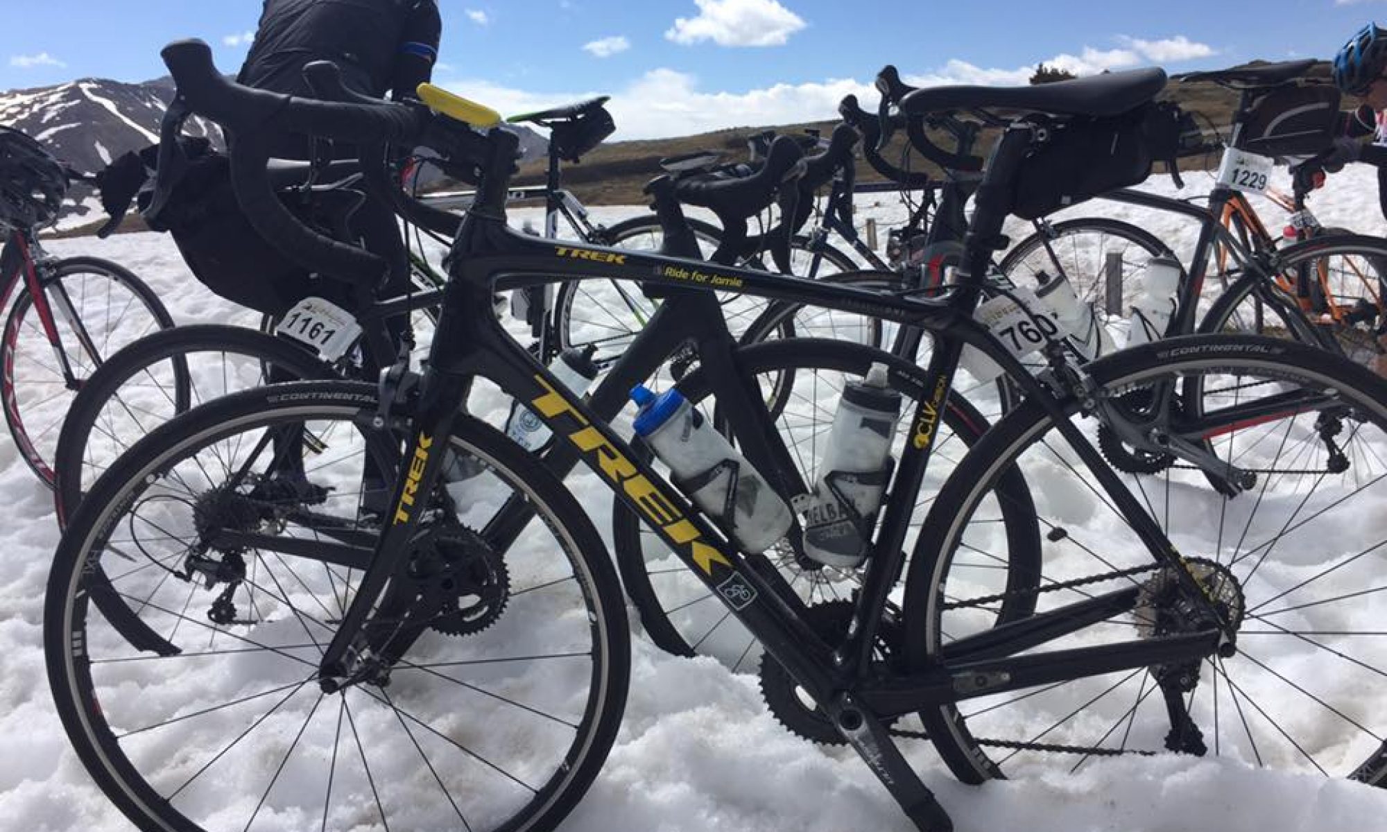
The name comes from a group ride posted for the Potomac Pedalers Touring Club that I rode in 2009. And I haven’t been back.
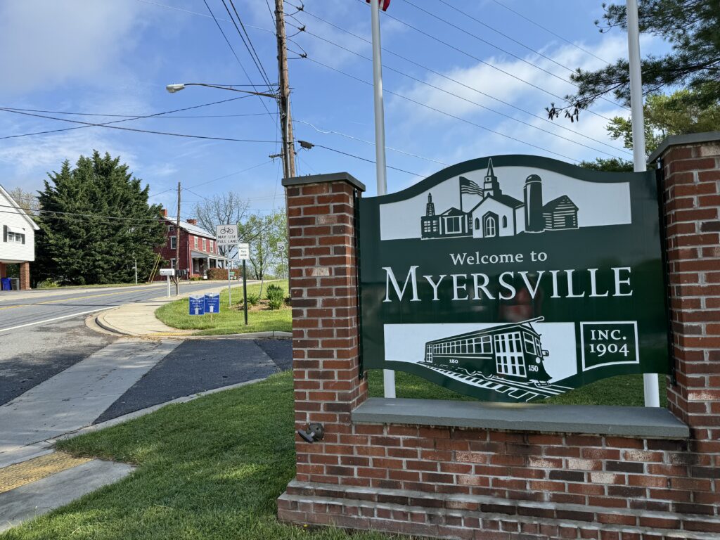
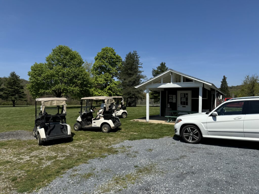
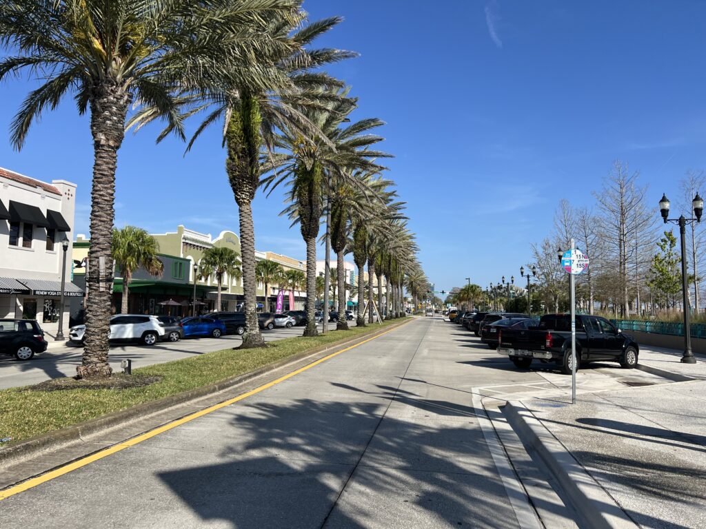
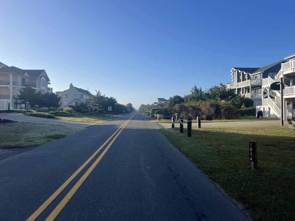
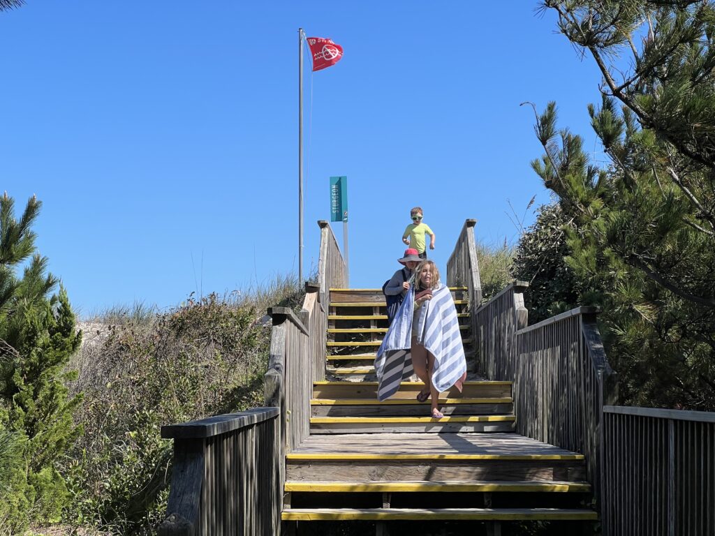
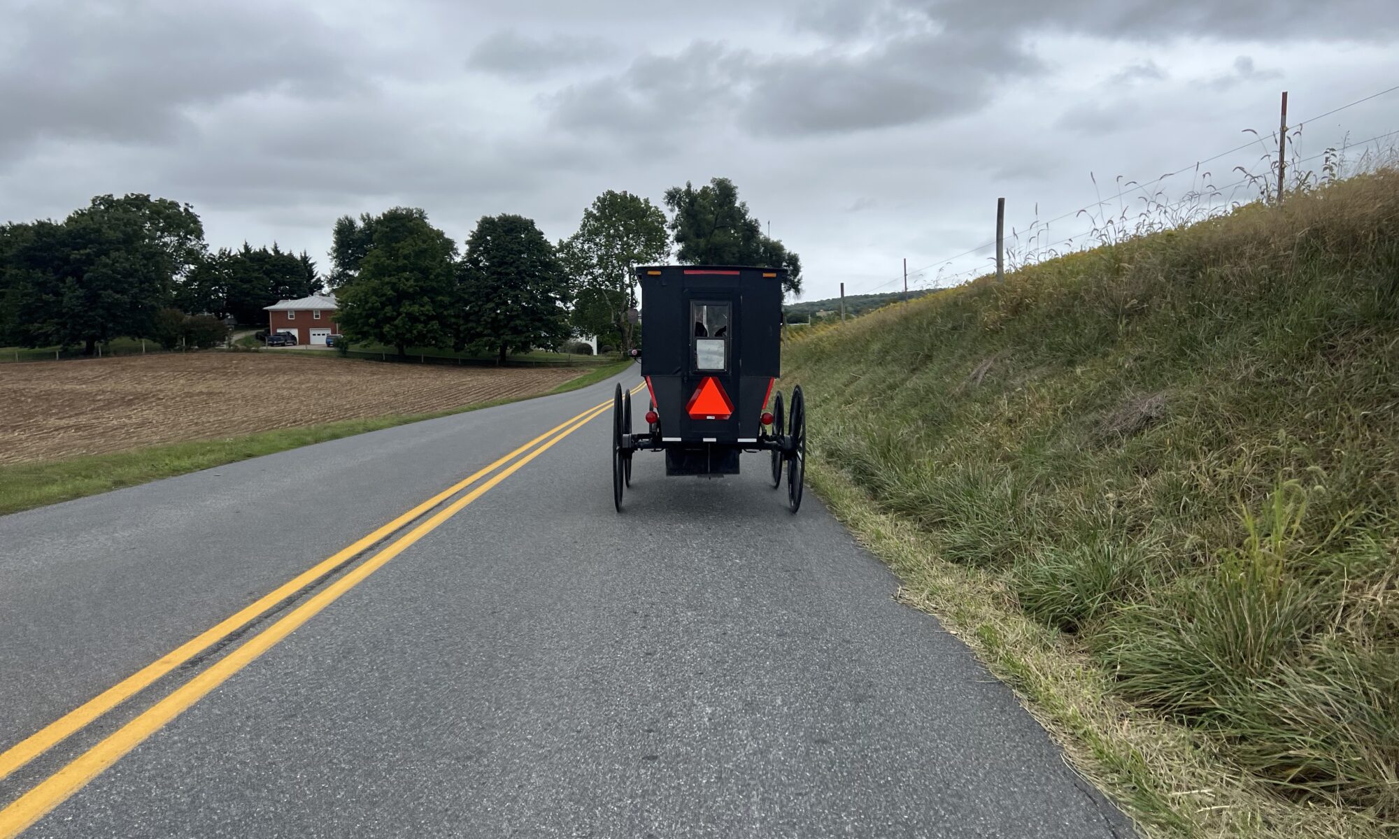
Starting town of Myersville
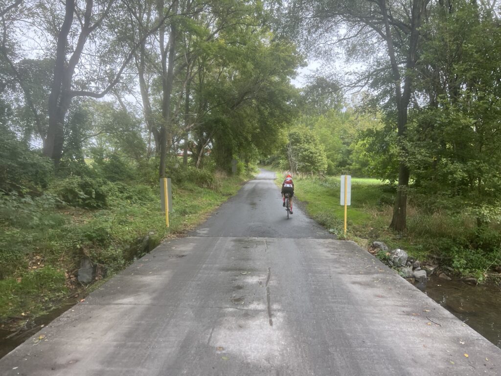
As I try to get into climbing shape for the French Alps in June, I am looking for increasingly challenging climbs to incorporate into my training regimen. I posted this climb to the Prince William Cycling Club page as a group ride. No one responded.
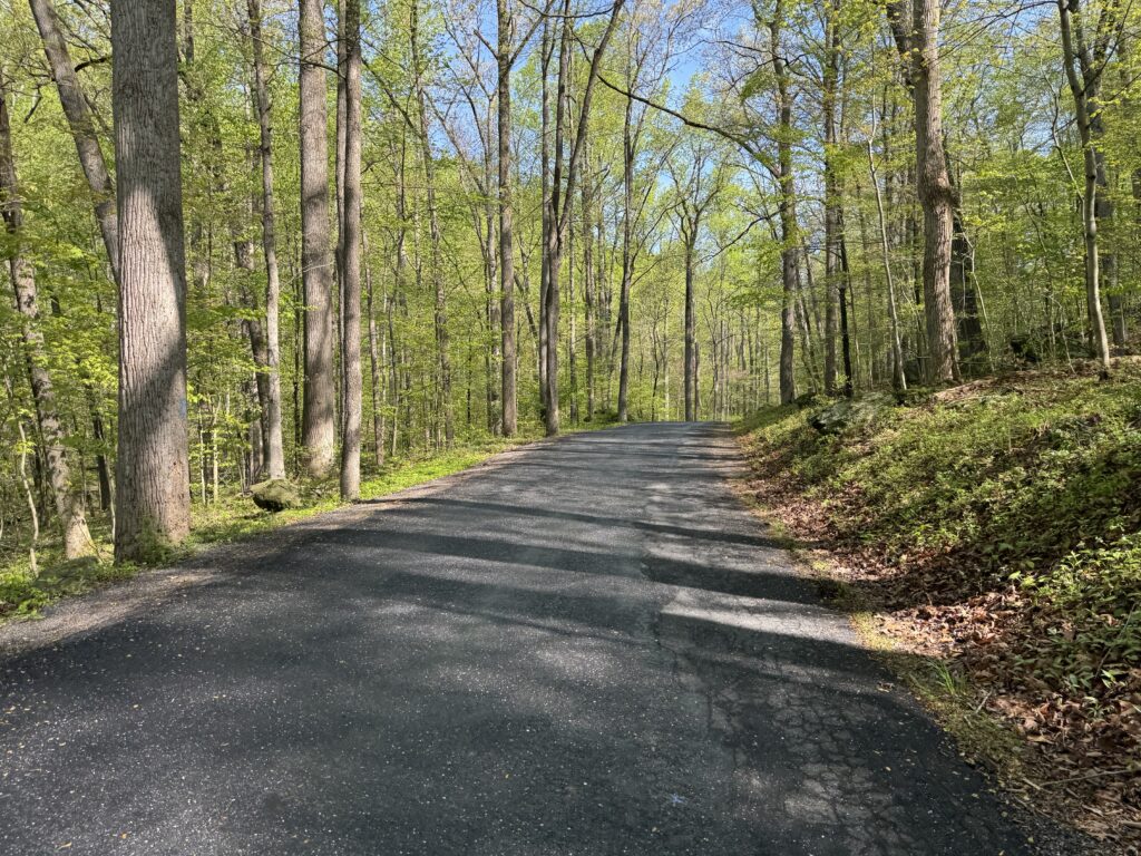
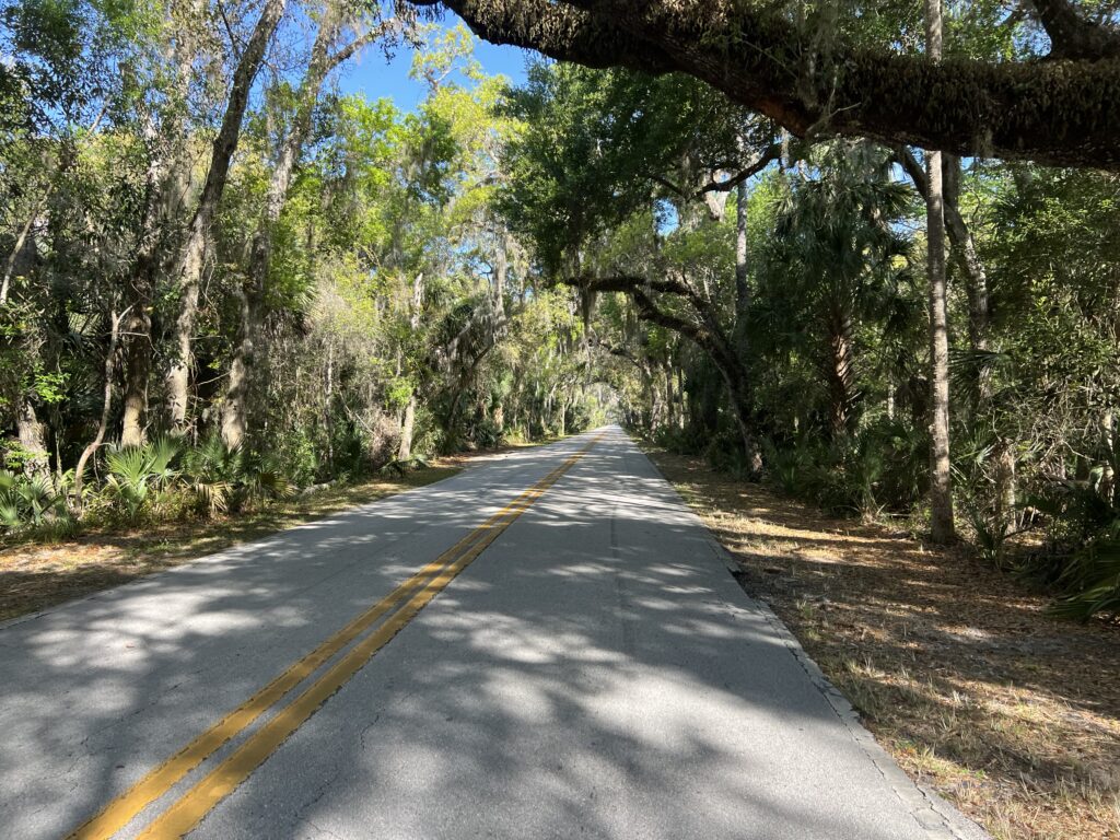
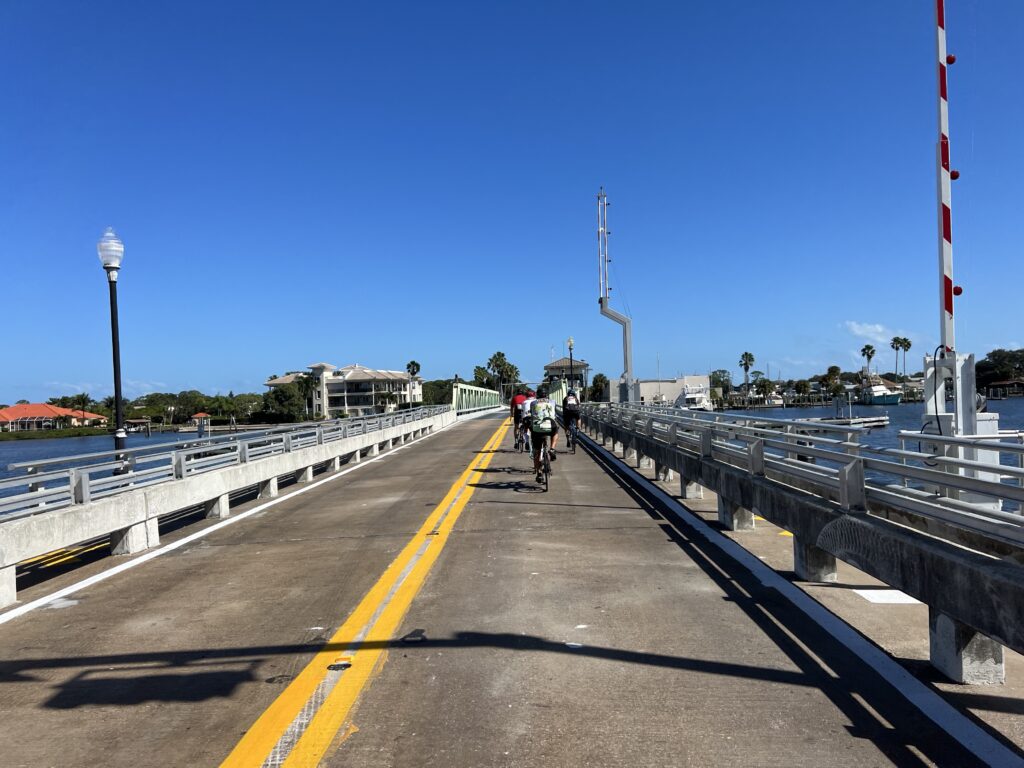
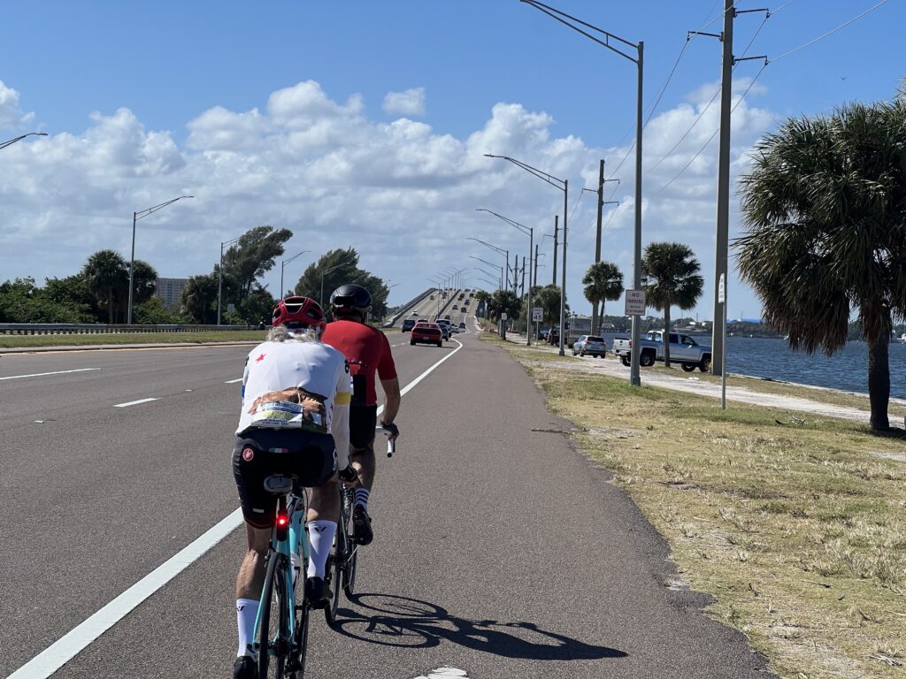
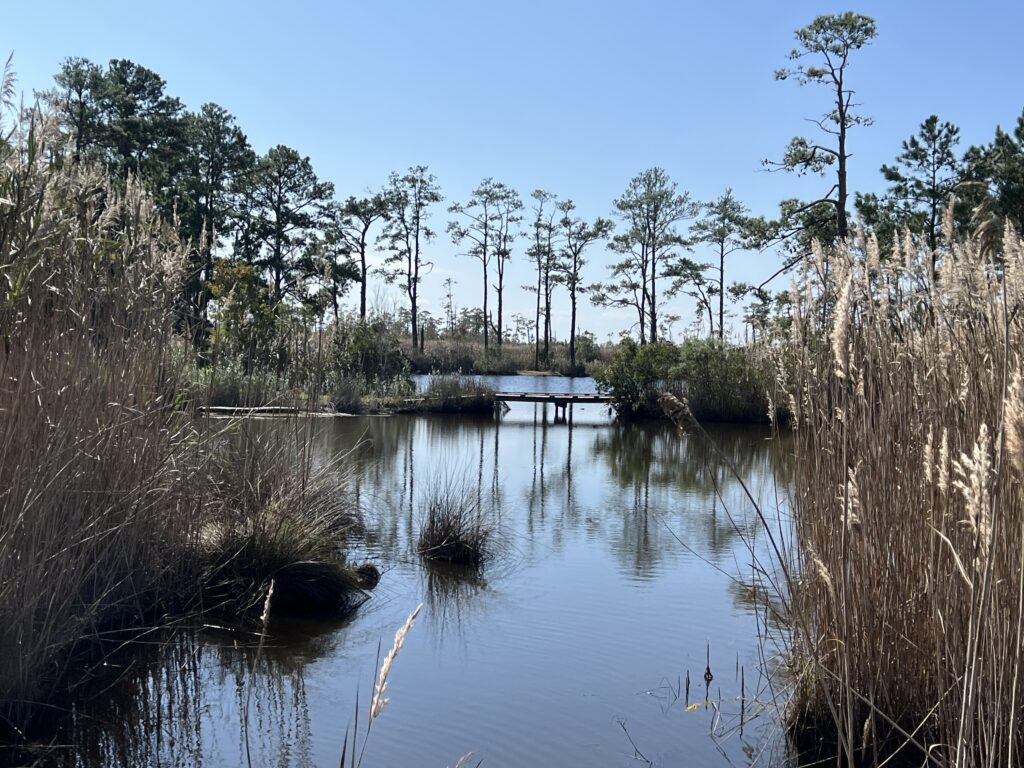
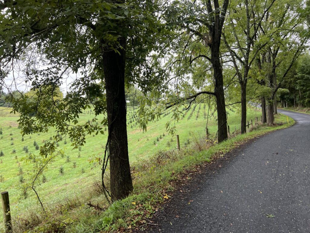
Back roads
Through Strava we can compare climbing segments and I marked a few for comparison. Fifteen years ago I rode in a group which is almost always faster than I can ride solo. The exception is the chill Thursday night ride in Manassas that I often do and just hang at the back chatting or sweeping.
I did not expect to be better than I was 15 years ago but you never know, If there were times that I put up just riding along then maybe by trying harder I could better those times. On the other hand, I told myself not to worry about Strava. Stop and smell the roses. Take pictures. Enjoy the ride.
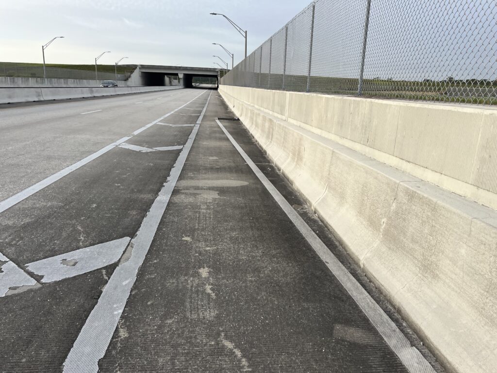
The route was mostly on back country roads – those with no lines. Traffic on those roads was extremely light. A major difference between 2009 and 2024 is that I did not carry a cell phone with an awesome camera. I did carry a pocket camera but rarely took pictures when I rode. Today would be a day for photos.
I arrived at the computer lot by 9:30 a.m. for a 10:00 a.m. ride to which no one responded. Still, someone could arrive who hadn’t responded but the ride description also said that I could leave when I wanted to if no one responded. I left the commuter lot at 9:49 a.m.
It was chilly at first – just 60 degrees. I wore arm warmers but would remove them within the first hour. The profile started with what was basically a 15-mile climb.
I went through Blue Ridge Summit which I have been 5-6 times before on the Civil War Century rides. Leaving BRS I passed a golf course that looked like someone’s backyard (sorry). I would discover that it was Monterey Country Club, which they claim is one of the five oldest courses in the country.
Monterey Country Club
A nice descent to Waynesboro and then Pen Mar set me up for the climb to High Rock – my destination. The bottom section of the climb was very hard. It was one mile at 8% but was undulating so there were ramps of 12-15%.
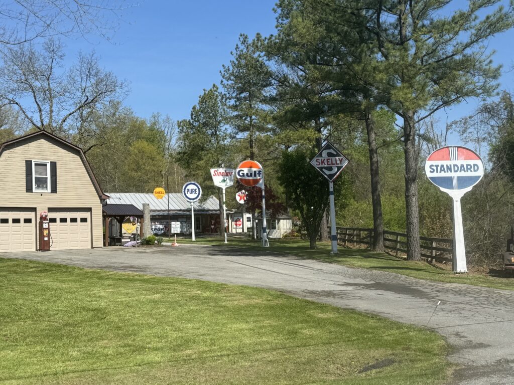
Pick your old sign
After the first grueling mile it’s a straight shop and steady 5.7% grade for two miles to High Rock. For the first 4-5 minutes I was ahead of my 2009 self pace by 1-2 seconds but eventually fell behind and said screw it. Enjoy the scenery. In 2009 I was riding with one other person and we paced each other up the climb. Not today.
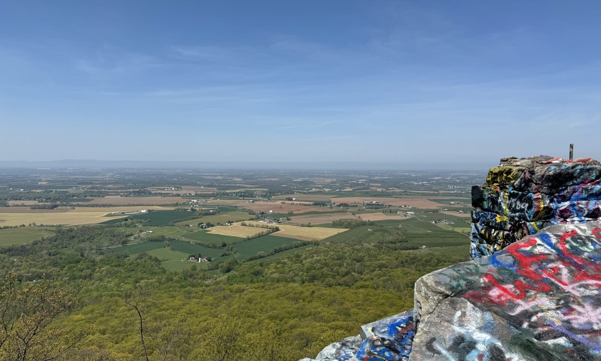
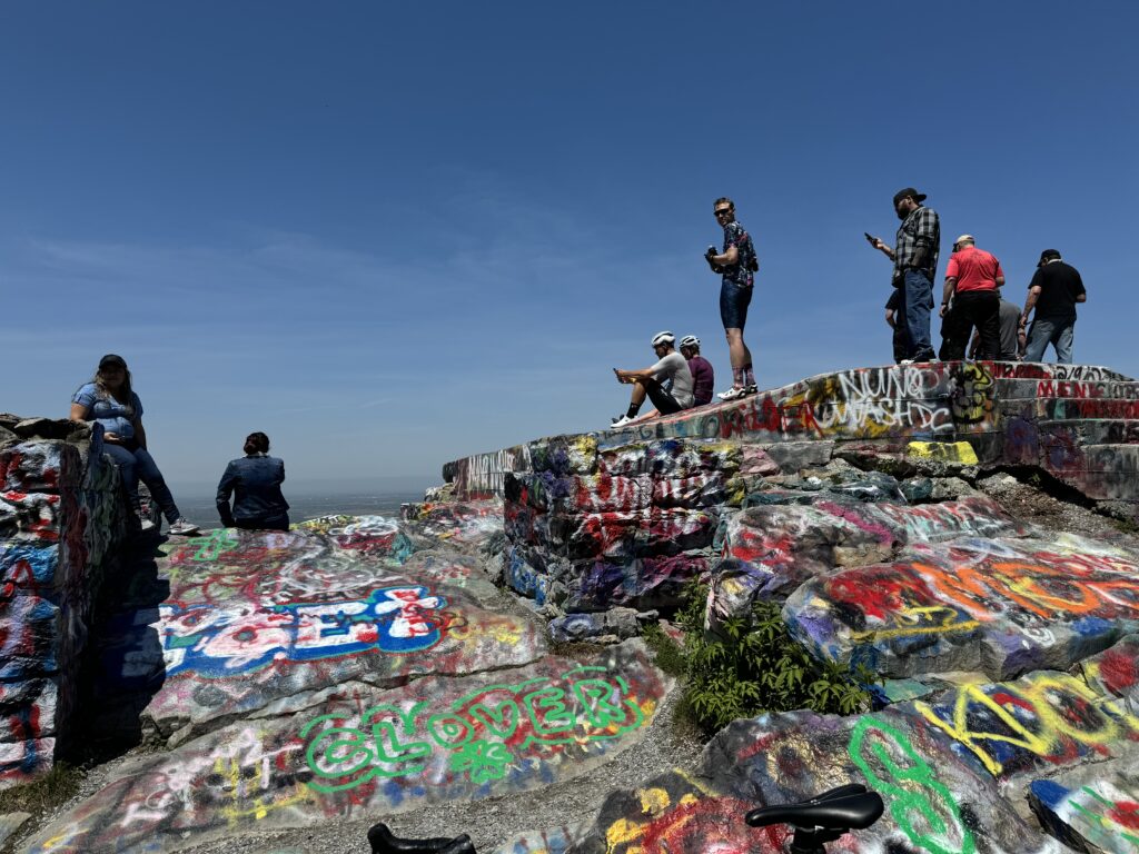
Graffiti is not urban art. This is not an urban area. It is vandalism and it is hideous what people have done to such a beautiful area. I’ll let the pictures speak for themselves.
High Rock
I was hoping for a mostly downhill return to Myersville. But High Rock was only climb #14/27 according to my Strava map so it wasn’t all downhill with a tailwind after the climb. In fact, it was a headwind the rest of the way.
I wasn’t feeling it today. With each climb, I tried a little but as soon as I saw I was off the pace of the 2009 “me” I backed off. Near Myersville, I had a long segment on rollers and did get a :30 advantage. Near the end I went real slow so I would PR by only a few seconds (so I can beat it next time). When I reached the end of the segment the distance remaining displayed as -10 then -20. Oh no. I sprinted and got my PR.
It is a beautiful ride. With 5500′ gain in 55 miles it is a mountainous ride. Don’t know if I will be back but I should probably try this one once more before France.
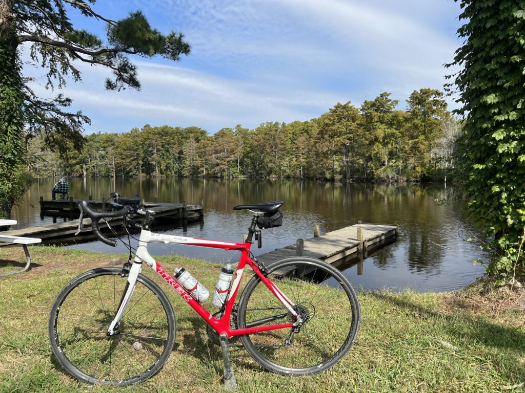
This is a description of a route and not one ride. It was three rides on the Lake Monroe Loop which may or may not be its official name.
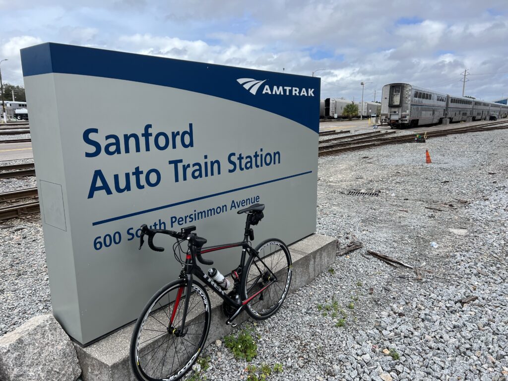
On January 24 I had a reservation on the AutoTrain from Sanford to Lorton, Virginia. The train left at 5:00 pm, but check-in with a vehicle was from 11:30 until 3:00. I wanted a nice ride in the area before a 15-hour train ride.
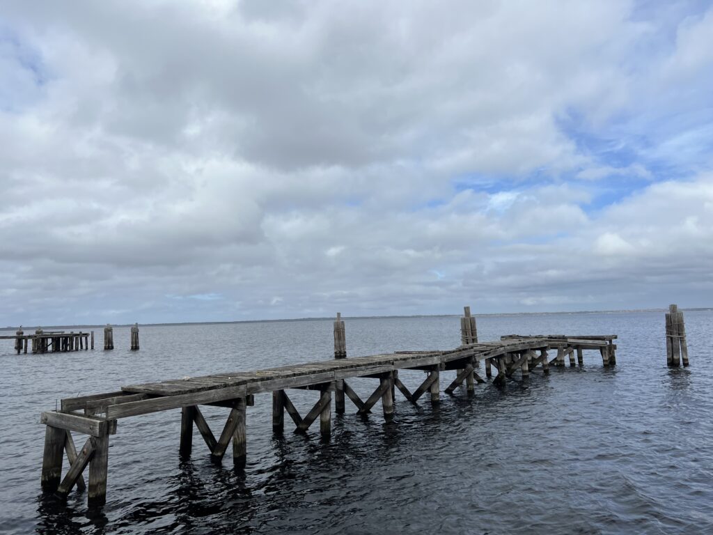
Near the AutoTrain, Sanford
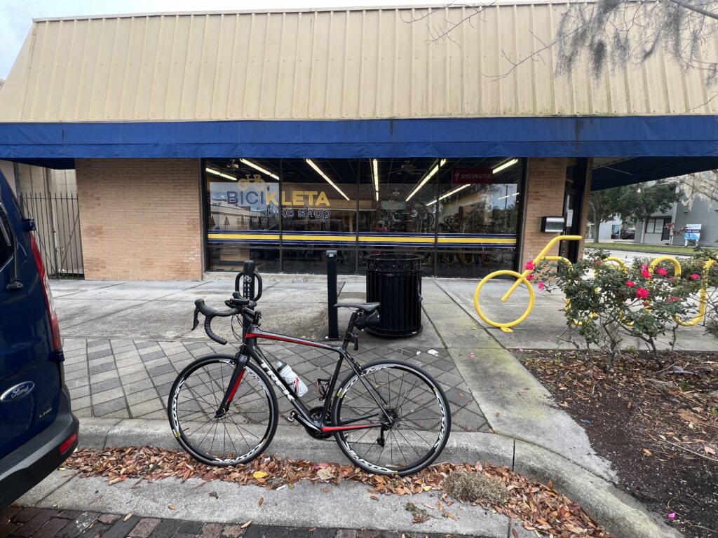
I found a ride on RidewithGPS that started at the Bicikleta Bike Shop in Sanford. It was a 27-mile loop around the lake and looked perfect. I found the bike shop and started to follow the route that I had uploaded to my bike computer.
Bicikleta Bike Shop, Sanford
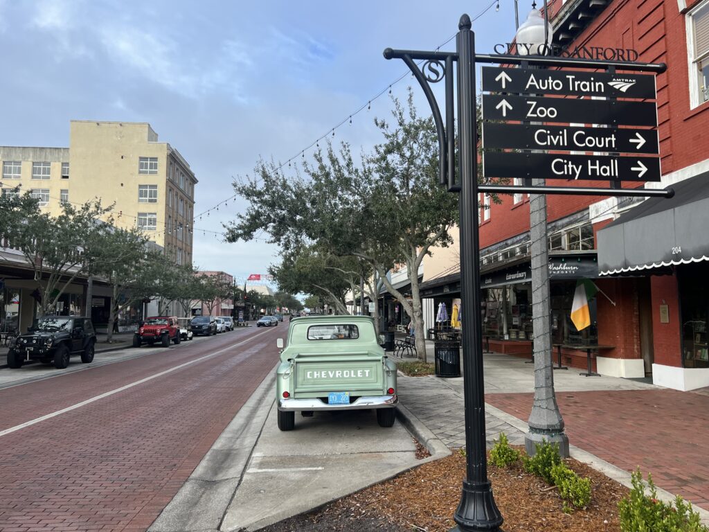
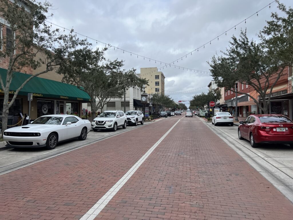
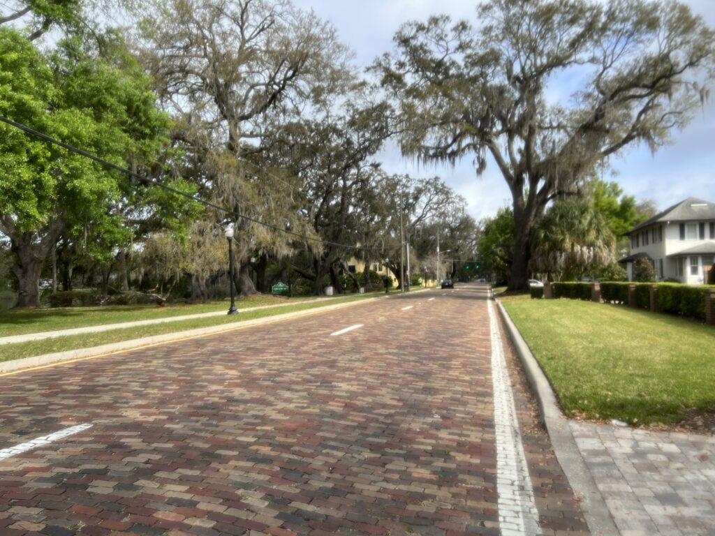
I was only two blocks from the downtown area which is absolutely charming. Sanford has brick streets so I checked out the downtown before starting my ride.
Downtown Sanford
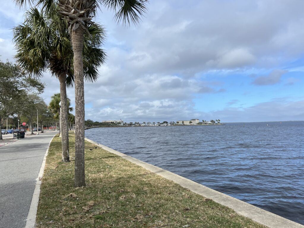
Downtown Sanford is only one block from the lakefront which is very pretty.
Lake Monroe, Sanford
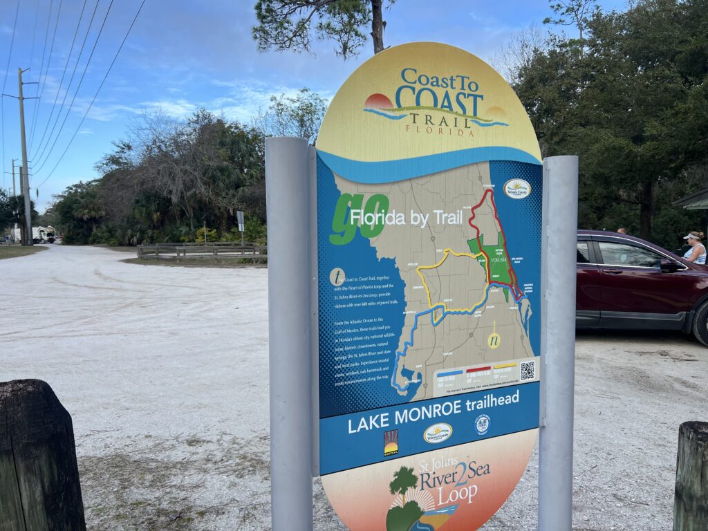
I obviously did not study the route. I envisioned a 27-mile route hugging this lake the entire time. What I got was three and a half miles of lakefront views. I crossed a bridge over the St. Johns River which flows into the lake. And then I picked up a series of bike trails.
Coast to Coast Trail
Part of the trail picks up a section of the Coast to Coast Trail
Coast to Coast
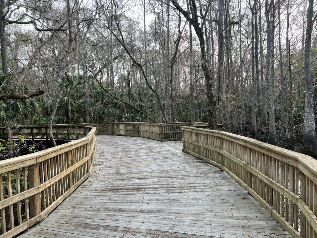
There were sections of boardwalks in the swamp. (Boardwalks scare me) Pretty but I’m not a fan of tires on wood.
Trail
I wasn’t quick enough with the camera but as I came around one corner I saw a juvenile armadillo scurry off the trail.
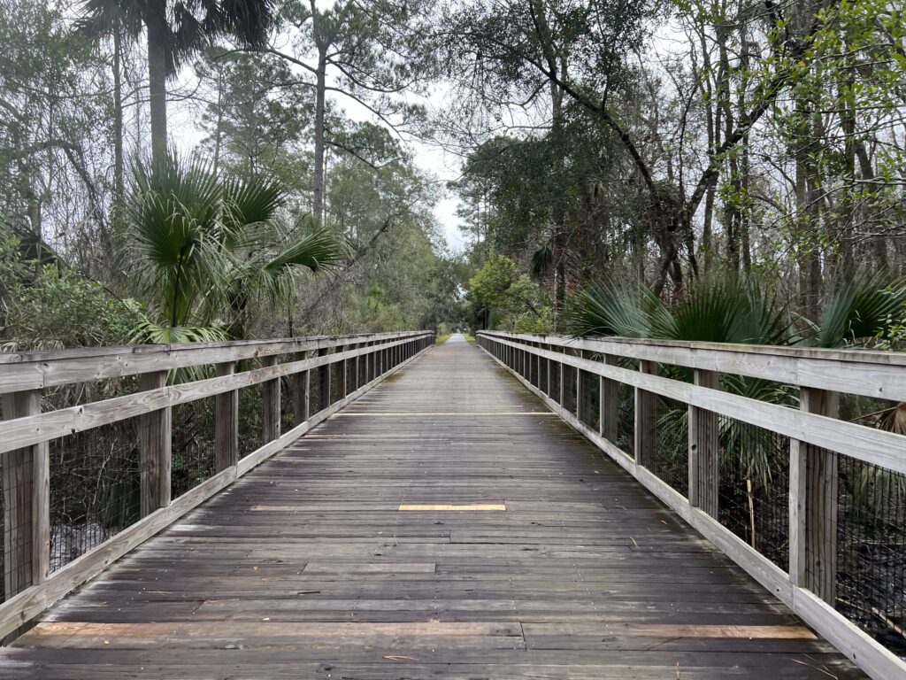
More boardwalks
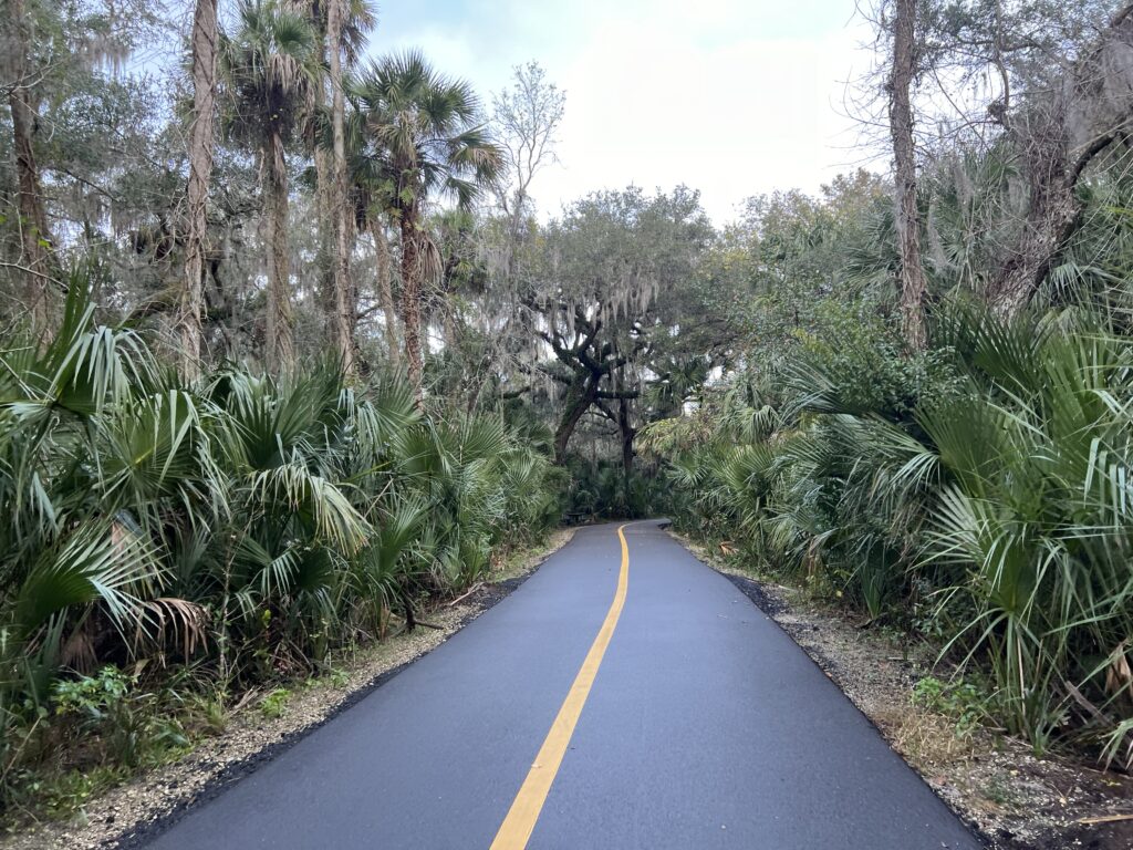
I gave up lakeside for woods. And swamp.
Not so wildlife. Goats.
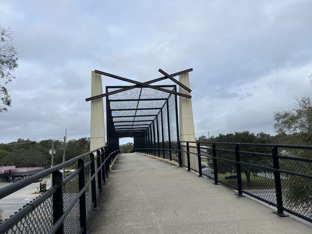
Eventually, the trail connected with a bike path next to Fl. State Hwy 415. It is separate from the highway and has an underpass at the one bridge to get to the other side to cross the river.
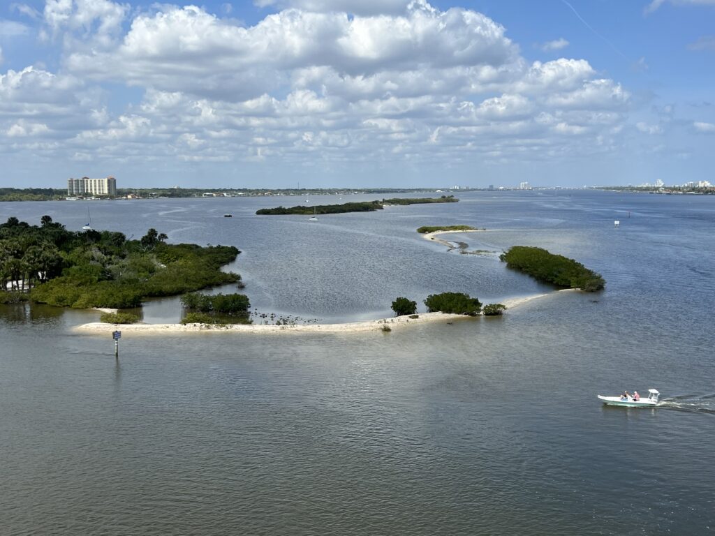
Lake Monroe
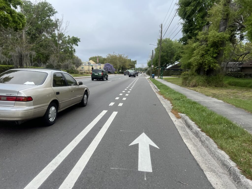
About five miles from Sanford the trail ends and one must ride on the road. But here the roads are more streets than highways.
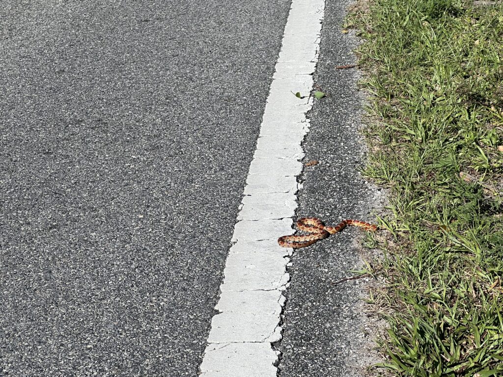
Red corn snake
The first time I rode it when I got back to the start I continued a second pass down the lake and found the AutoTrain. It was just an enjoyable loop.
Osteen Trail Head and Hwy 415
My next AutoTrain reservation was on March 13. Arriving on March 14 I was prepared to ride the same loop. However, I thought it would be fun to reverse the route so I rode the same course but counterclockwise this time. Near the end, I routed to PDQ Chicken for lunch and then used the Wahoo’s Route to Start feature to get me back to the parking lot that was two blocks from Bicikleta’s.
Sanford
And it was six days later I was headed home. No AutoTrain this time but I was headed up I-4 early in the morning. I stopped at the park next to the bridge that crosses the St. Johns River. I would ride the loop again albeit with a different start location,
PDQ. Worth the trip.
There were no surprises. I could ride this loop without a map. But it’s nice to have a map on the computer as I like to display the distance remaining.
St. Johns River below I-4
This is an easy, flat, ride with lake, swamp, and forest views. I highly recommend this to anyone in central Florida looking for an easy and enjoyable ride, Finish with lunch in Sanford.
My travels took me to Orlando and I was looking for a ride. I found the Florida Freewheelers Bike Club that also sponsors the Horrible Hundred each November. They had a ride posted for today called the Flying Fox Airport Loop.
I am not a member of their club so their public site may be different than their private site. I could see a ride map but not a GPX file that I could upload to my bike computer.
A ride map (not the one for this ride)
I emailed the ride leader and asked for a GPX file. He sent me a file but it was only 5k in size. It was a data point – the ride start. I went to the ride map and drew the route in RideWithGPS. I wasn’t 100% sure but I think I got it.
Brick streets near the park
I arrived at the park at 7:30 a.m. for an 8:00 a.m. ride. At 7:45 I didn’t see any other cars. I have a feeling I was in the wrong part of the park. I decided to roll out ahead and figured I would be swept up by the group.
Toll Road – Bikes stay to the right (even though that guy didn’t) South Goldenrod Road
It was a mixed road route. It is not for everyone. The residential streets were fine but there were some highway segments. And I was buzzed three times today. The first time a car passed by within an arm’s length. I thought the driver was careless. The second time I thought it was deliberate. And the third time I know it was deliberate. There seems to be an attitude that cyclists don’t belong on the roads and the drivers will punish you. I am also always aware that Florida has more cycling deaths per capita than any other state.
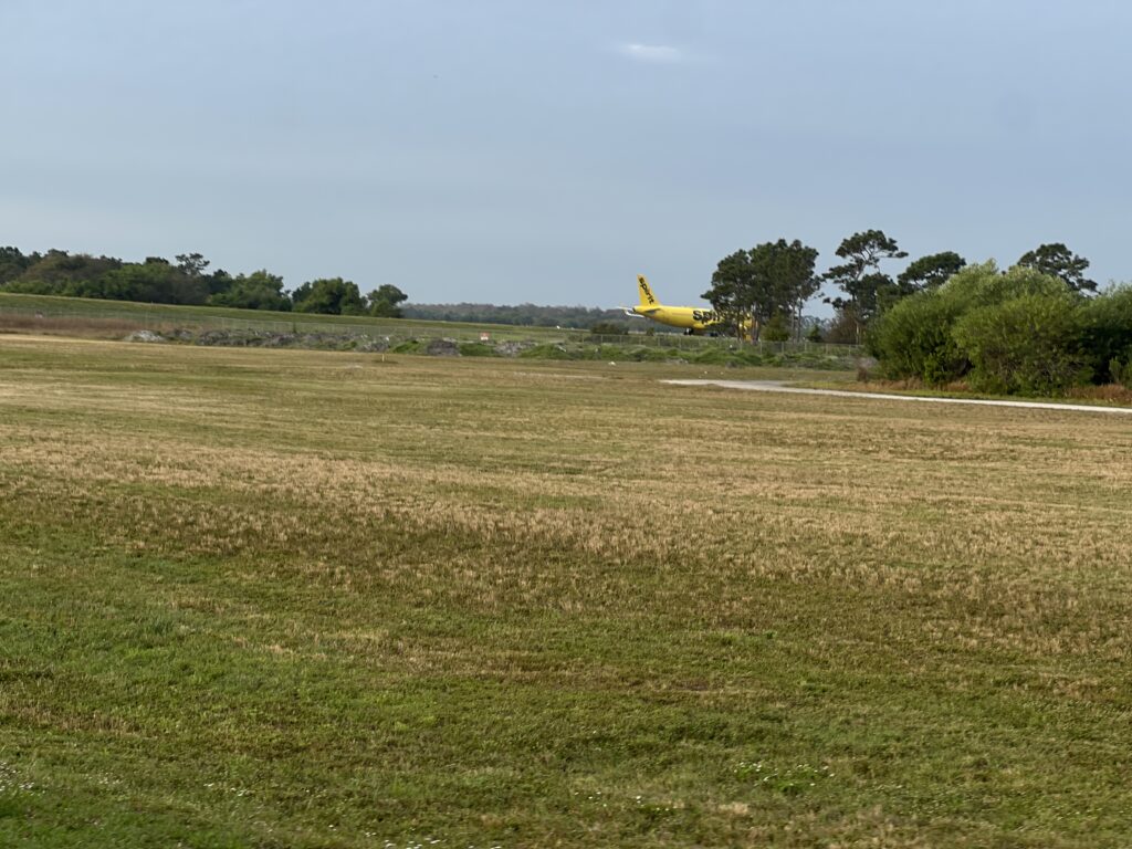
Slow with the camera – just missed getting a shot of this Spirit Airlines airplane
The route passed by the Orlando Executive Airport and then the Orlando International Airport. At one location the route went on a toll road but there was a Bike Route sign to take cyclists past the toll booth.
Jeff Fuqua Blvd – just south of the airport
On some shoulders, the roads were marked with a white line directing cyclists away from the drain grates. Very nice safety feature.
Infrastructure – Notice the white line directing bikes away from the drains Heinztelman Blvd by Orlando Int’l Airport
It was cloudy but humid. My legs felt good although I was coming off a poor recovery (19%). I had thought about trying hard to find the group but then wondered if I would have the legs to stay with them. Catching me was a better option although they never did. I was riding well enough but at two miles per hour faster they must have been close.
Bike lane – Hansel Ave. (Englewood)
I love finding routes, downloading them to my Wahoo, and following them. So I was able to do that today. I didn’t meet any new people but that was okay too. Thanks for the ride!
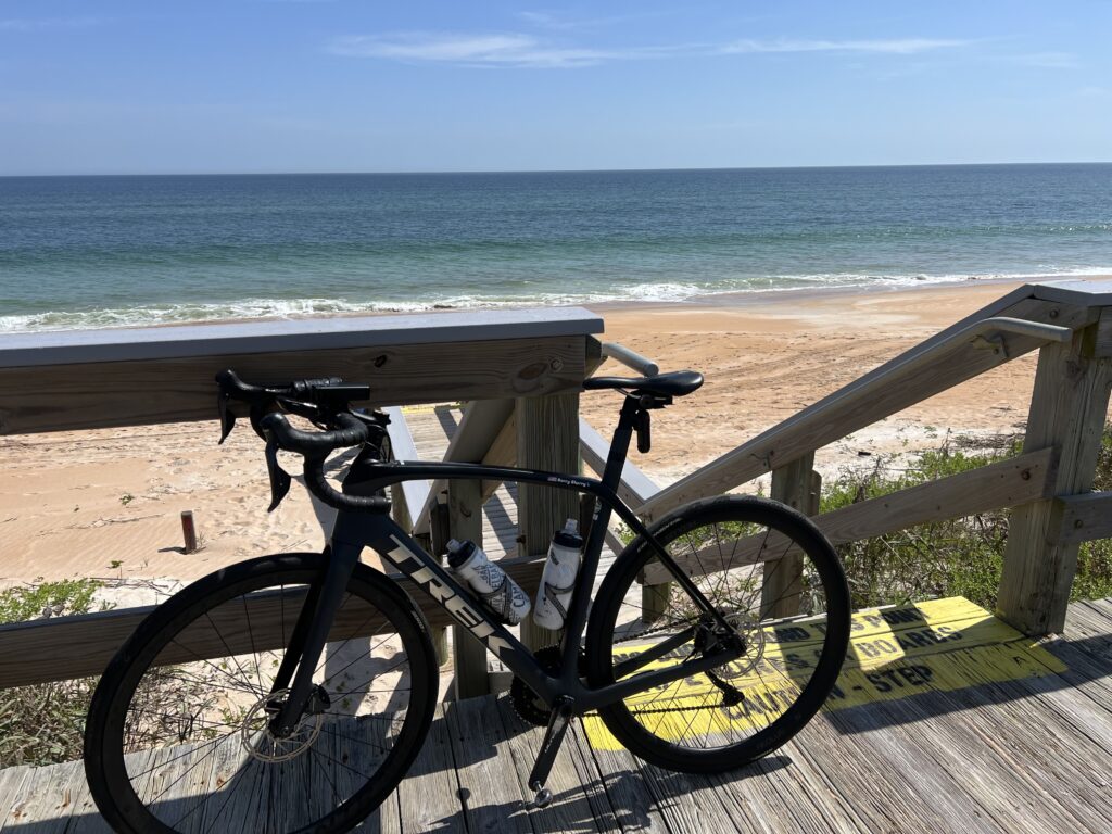
My trip to Florida led me seeking sun and warmth and preferably ocean views. Or one view. I ended up at Ormond Beach because the Hampton Inn was very reasonable. I found a route I wanted to ride but the map was showing sections of unpaved road north of Flagler Beach that seemed strange. I ruled that out.
Next to Halifax River
I found a ride on RidewithGPS that I would follow. It began at the Hub Cycling in Port Orange up and over to Flagler Beach then back south to Dayton Beach. While I wanted to ride on A1A next to the ocean, the route avoided much of that when there was an alternative, presumably because of traffic and safety.
South Beach St., Daytona Beach
The roads were a mix of residential streets, country roads, a little highway, and the A1A right down through Daytona Beach. At one point I deviated from the course and rode over to the A1A.
A1A, Ocean Shore Blvd, Ormond Beach
I wasn’t sure what it would be like when I reached Daytona Beach. But on the two-lane southbound route, I found new sharrows had just been painted. A sharrow means bikes can use full lane and are often on roads where it would be too dangerous to pass a cyclist riding on the right side of the lane. Better to ride right down the middle. Any cars that would pass would already be partially in the left lane and would always move over.
Daytona Beach
I was headed into a moderately strong headwind from the south. And I as getting tired. I had two bottles with me – one with Skratch and one with water. I took two gels and two feeds. I could tell around 50 miles I was running on E.
North Beach Street, Tomoca State Park
I found a service station/convenience store and stopped in for water – and a Snickers. I haven’t had a Snickers in forever but I knew its sugars would sustain me the last 12 miles.
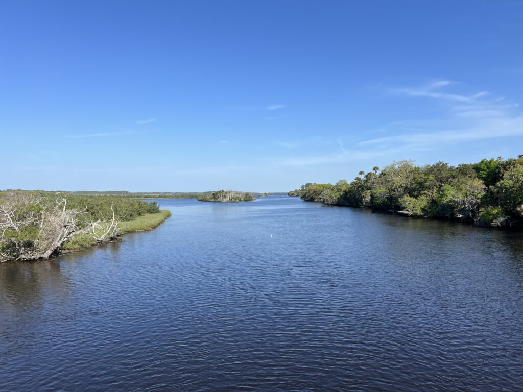
Tomoka River, Old Dixie Highway
I didn’t realize it at the time but this was where we started our cancer ride on April 11, 2013. Today I just missed passing the starting point because I had moved off the A1A and back to John Anderson Drive next to the Halifax River (less traffic).
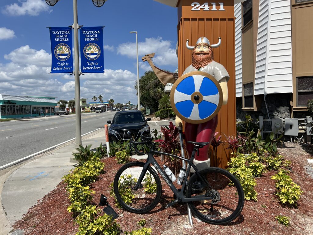
Vikings. Daytona Beach Shores
I was hoping to go faster today but on that day we had a group of four setting a good pace in 2013. I wasn’t going to match that. But my goal of warmth, sun, and an ocean view was met.
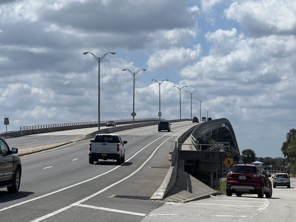
Hill – Port Orange CausewayHalifax River View from causeway bridge
This was my third time with this ride.All have been fun and they would be hard to rank if I wanted to. I don’t.
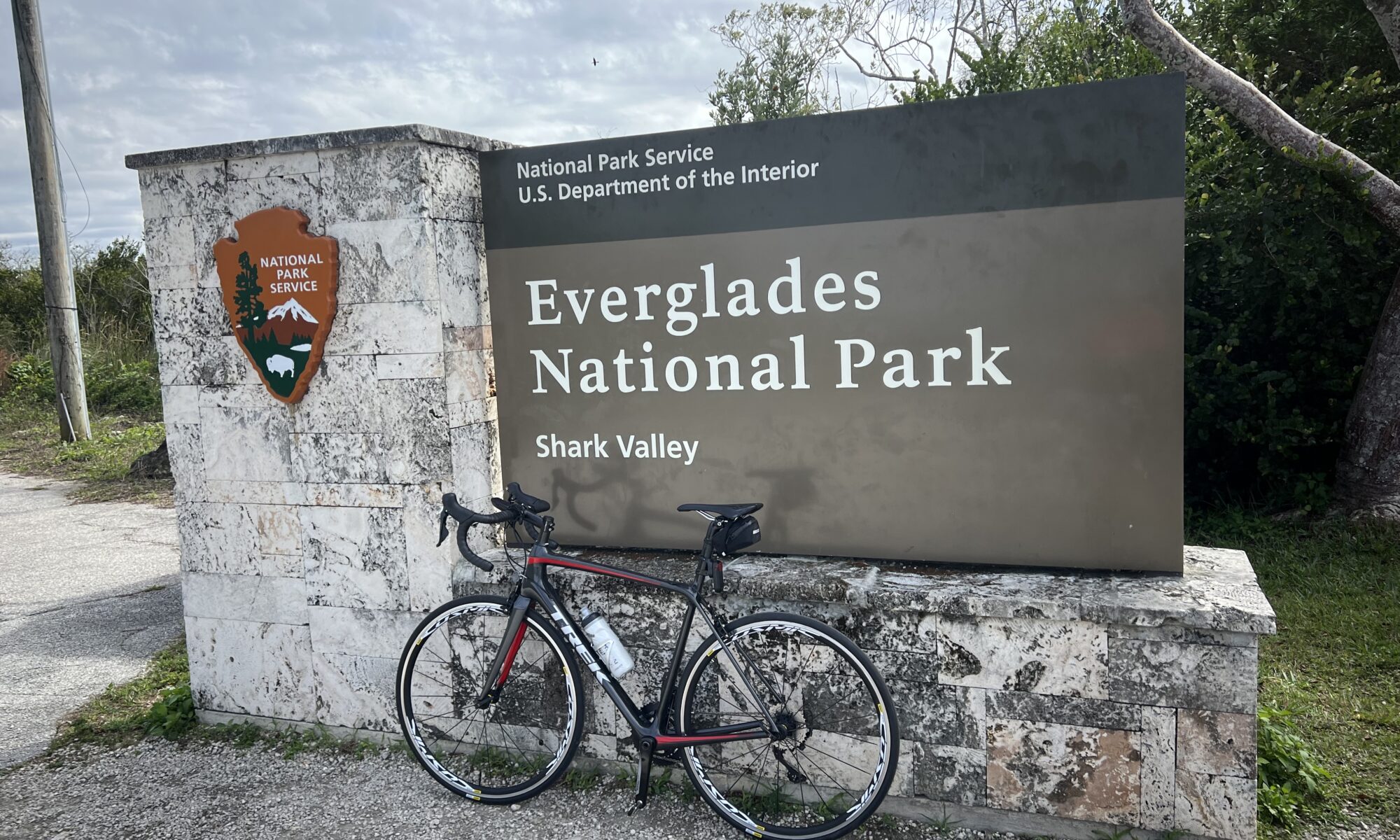
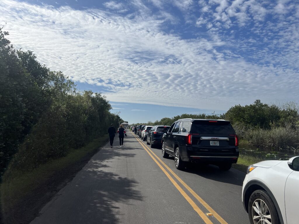
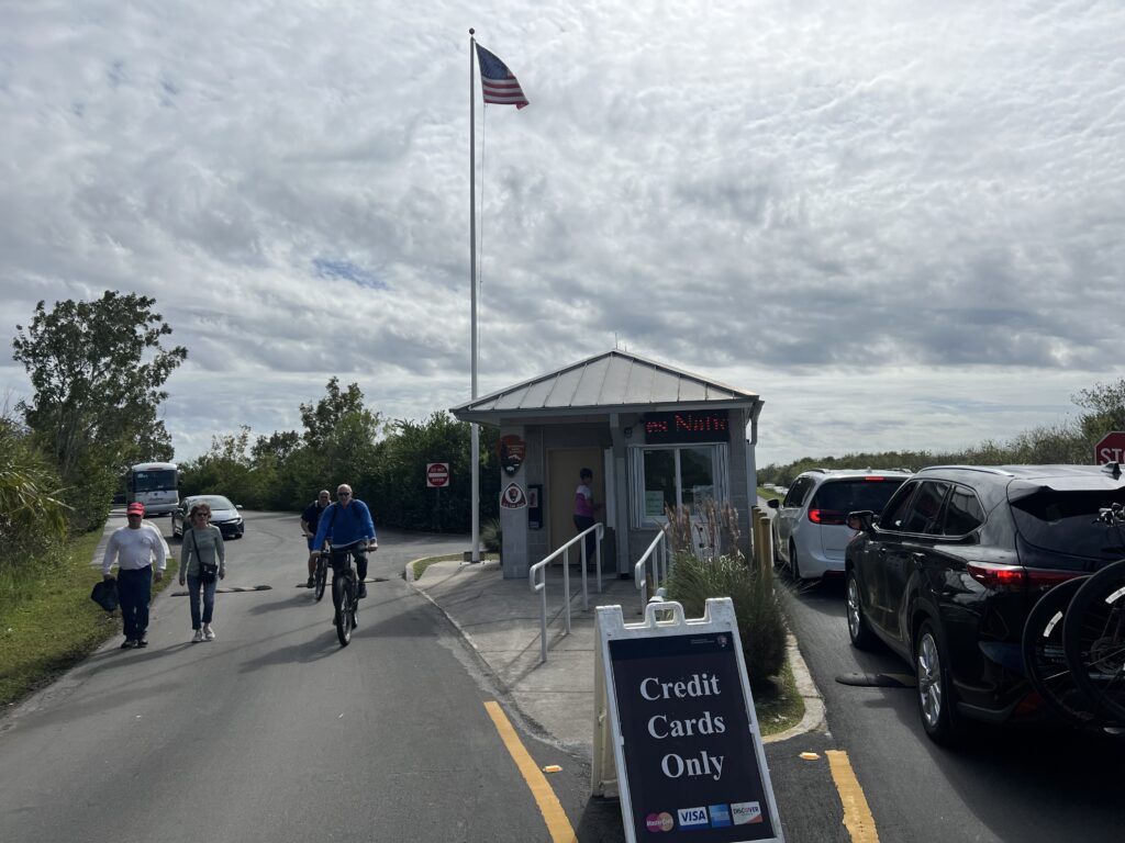
Parking Lot Full – Everglades National Park
I drove from Miami and passed a huge group ride. It also could have been a bike event but I couldn’t find an event simply by searching. I did see a photographer at the end of the street so maybe it was. My first thought was to stop and see if I could join them. But it looked to be already in progress. It was 9:30 a.m. And more importantly, I went deep yesterday and haven’t recovered.
Line to enter Everglades National Park
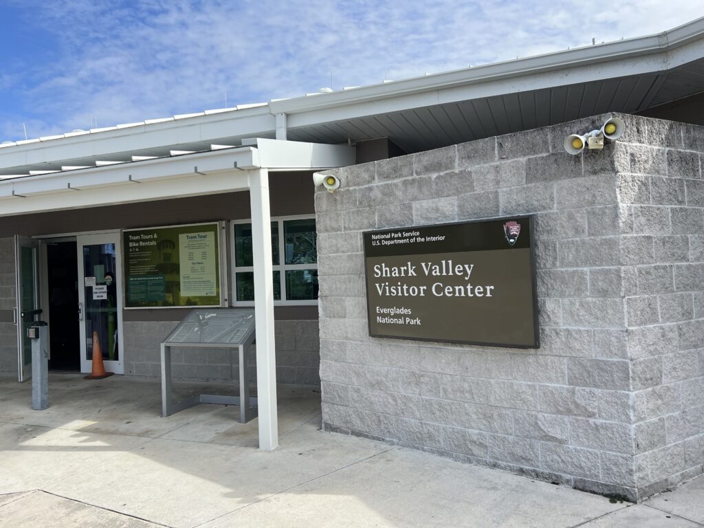
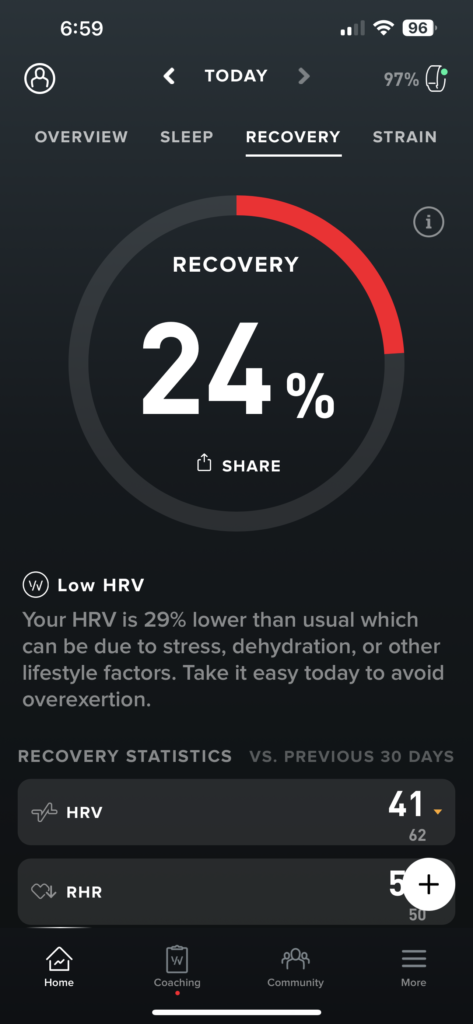
At lunch yesterday I had avoided any cramping. And then, a slight turn the wrong way and my hamstring about killed me. I tried to stretch my leg and bend my foot backward. Back to the car before the drive to Miami I drank a Hot Shot cramp killer. It worked in that I didn’t cramp anymore yesterday. But last night, twice in my sleep I awoke with a cramp in a calf, both calves, different times. My body was not recovered. I checked my Whoop Band score this morning. It was only 34% recovered. I knew I should stick to today’s plan which was to ride two loops at Shark Valley.
Shark Valley Visitor Center
Two loops would be simple to satisfy my daily mileage (30 miles). And also for Strava. I knew a loop was timed and I could set a PR by not stopping but I would dedicate the first loop to watching nature including stopping often for photographs. And the second loop would be just riding without stops.
Everglades
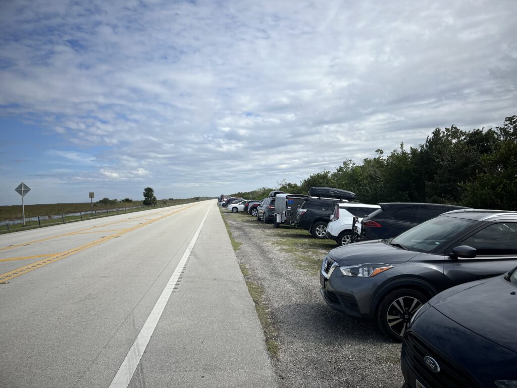
Arriving Shark Valley the sign on the roadway announced the lot was full and to expect delays. There were scores of cars already parked outside the park but I got in line to see how long it would be. There were at least 12 cars in line and they would be admitted one car at a time for every one car that left. And since it was 10:15 a.m. the lot probably had just filled up and the early morning folks might be a while before leaving. I did a U-turn and went back out to the highway to park.
Cars parked on the Highway outside Shark Valley
Most of those parked on the roadside had bicycles but a few were walkers. And this observation. The government is not serious about vehicle emissions. The admission for one car was $35 whereas for one individual it was $20. For the cars that parked outside the park a couple walking in would pay more ($40) by walking in that by driving in. They want you to drive your car.
Admission Gate at Shark Valley
I have a National Park pass for free admission so it was an easy decision for me to park on the highway then ride past the long line or parked cars. But if I had a family of four in my car I would wait in the line to pay for the vehicle rather than have to pay individually for each of us with a bike, even though I would be free.
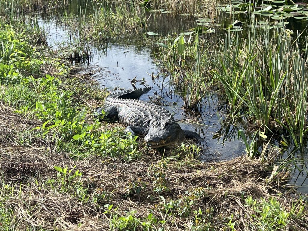
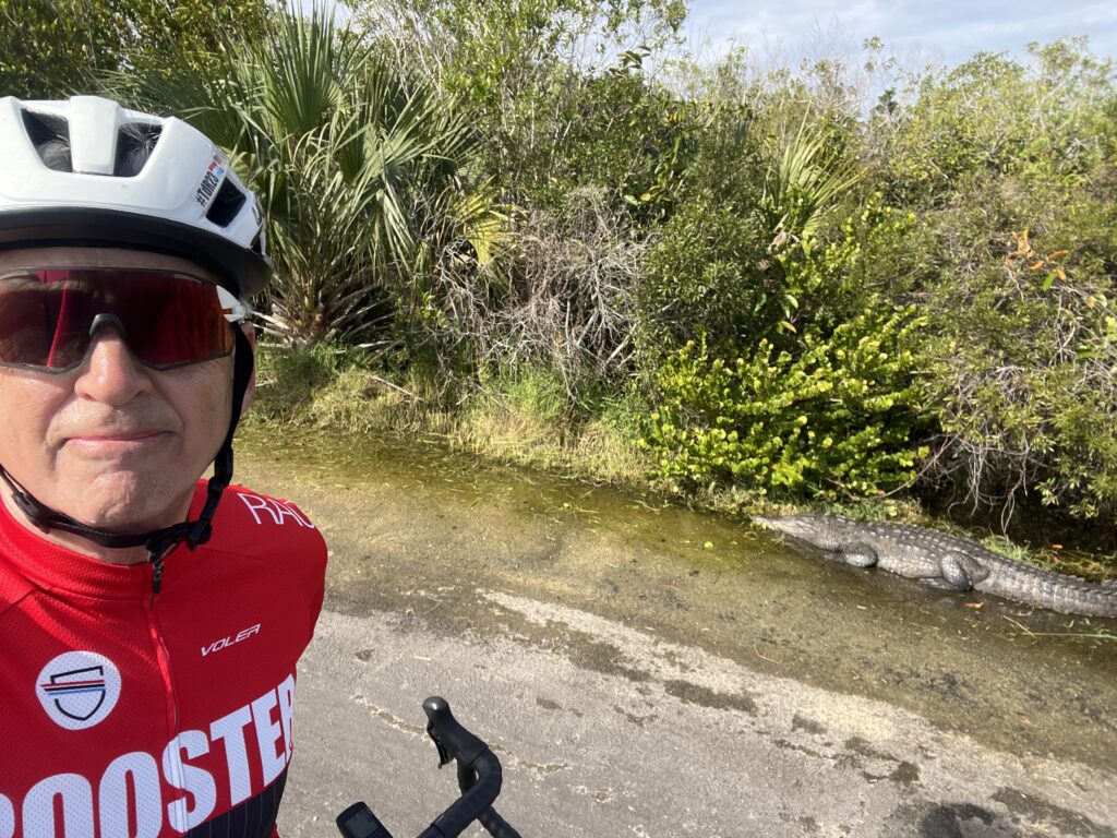
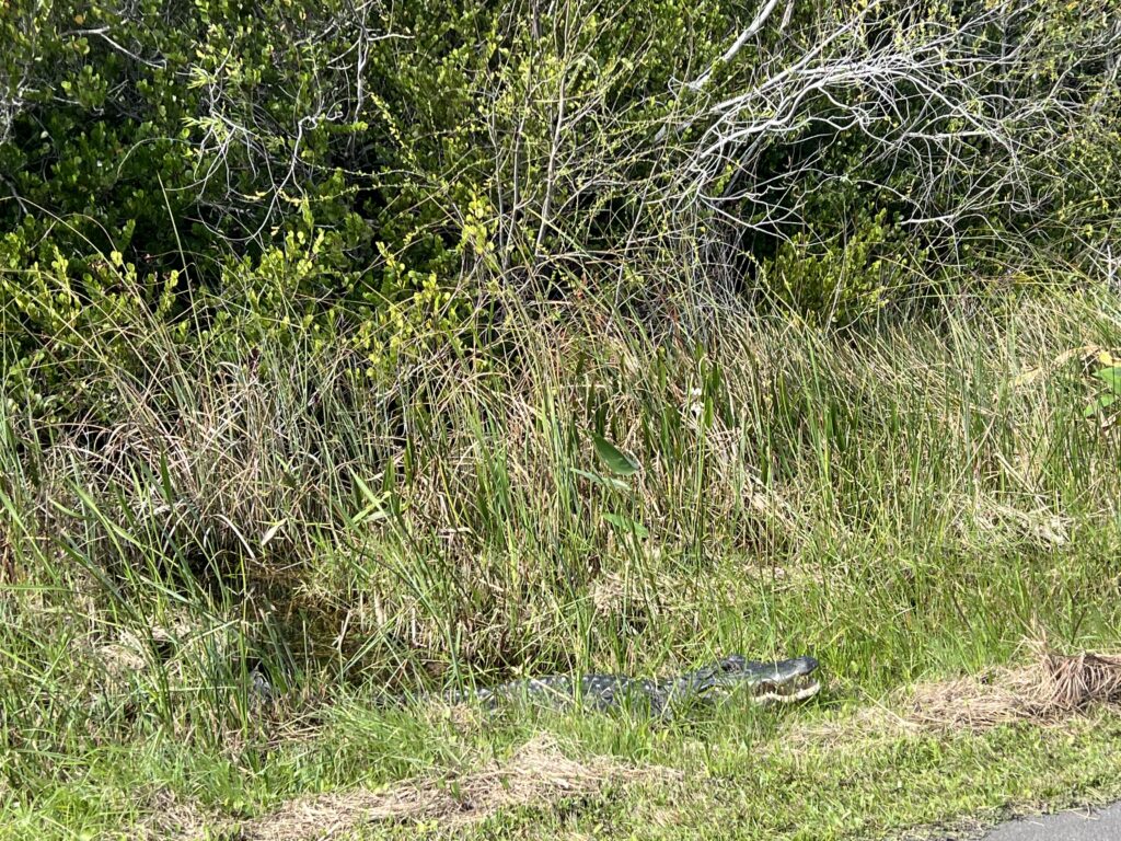
Gator
The ranger greeted me and asked for my pass as though I looked like someone who would have a pass. Of course, I did. She said that I would have a great tailwind going out and a pretty stiff headwind coming back. She was right.
Gators
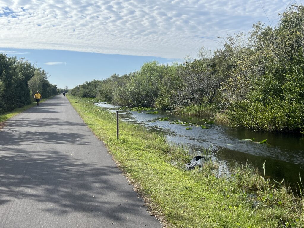
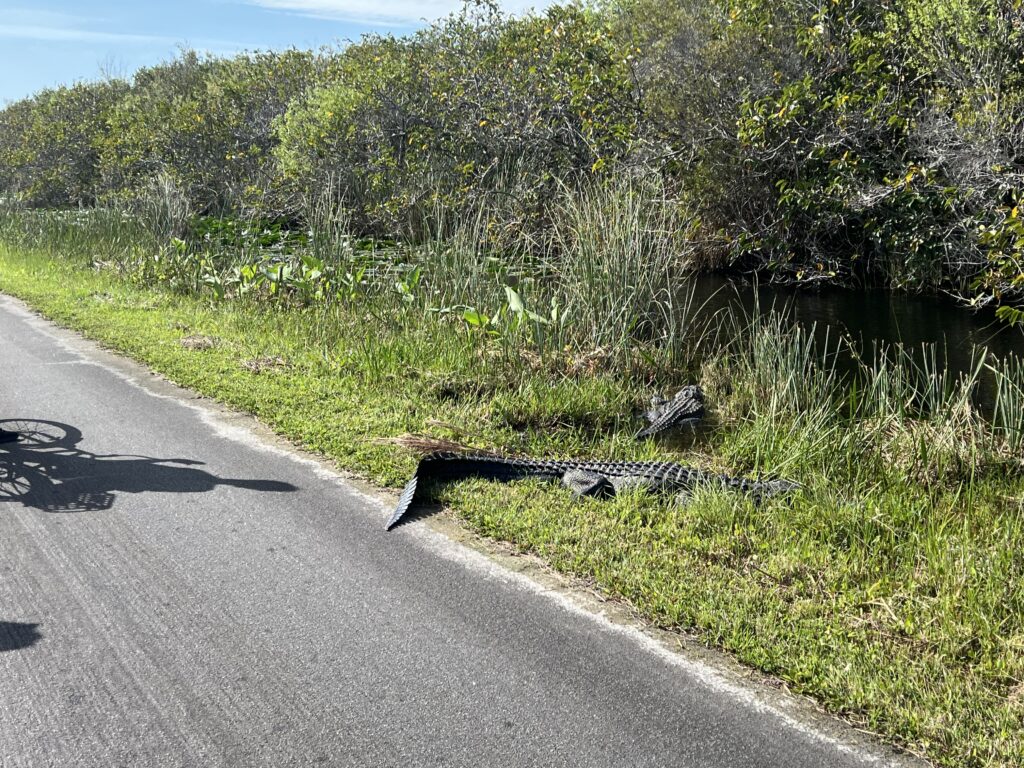
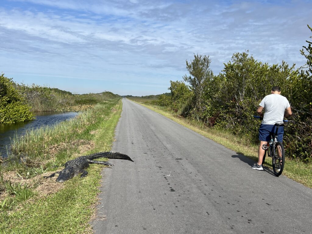
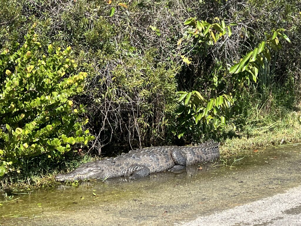
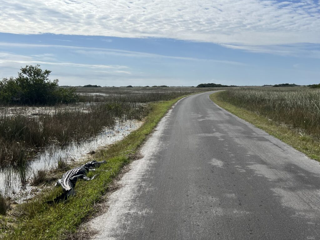
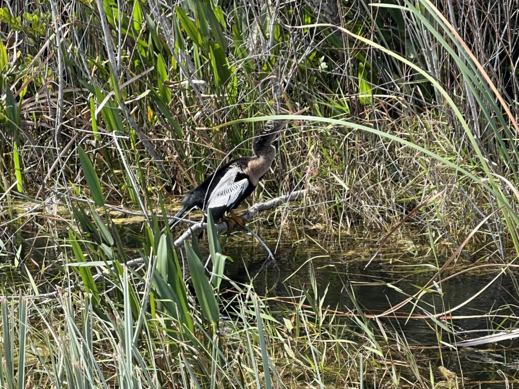
I headed out of the visitor center on the straight road next to the water towards the observation tower. I only saw seven alligators in the seven miles out to the tower. Winter is the dry season and they are less active. So I saw less today than my other two rides but it was still satisfying.
Gators on the road
I arrived at the tower and saw a few people looking at a big one. I realized that with it’s longer snout and pointy teeth on the outside that it was a crocodile. I would later learn that it was a female.
That’s a crock. Also, never turn your back and take a selfie.
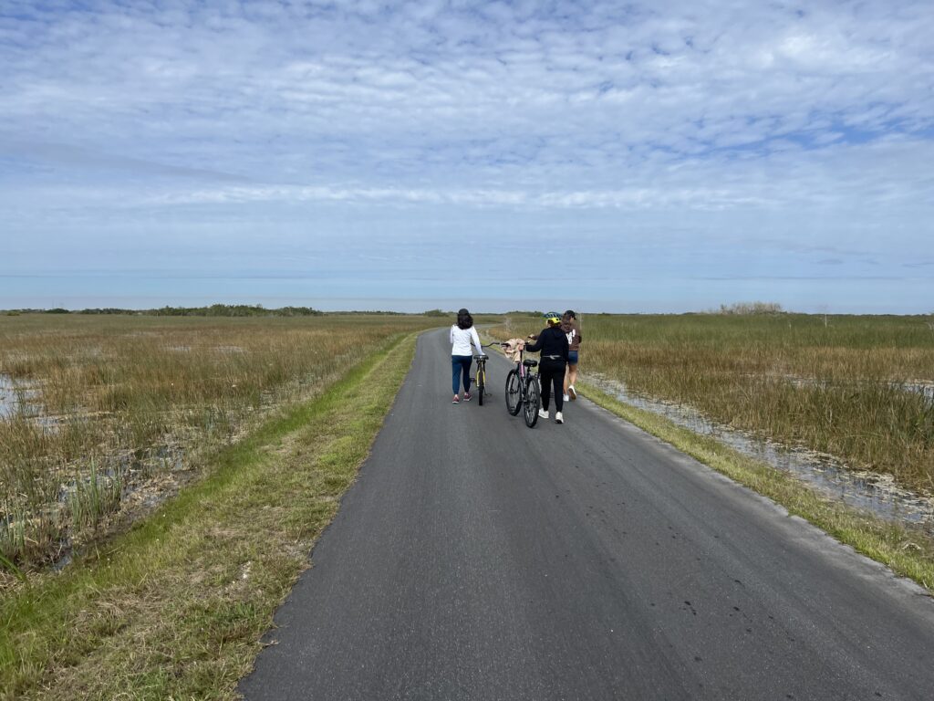
I counted eight alligators and one crocodile before turning to finish the loop. The second part of the loop looked uphill even though it was pancake flat.It was a struggle into the wind. Most people I saw who thought it would be fun to rend a bike realized that it isn’t fun riding into the wind. Most were walking.
After ‘while Crockodile
When I reached the visitor center I had to decide whether to ride another loop, as planned, I met a couple on mountain bikes and they asked me which way to go. I told them the wind was brutal coming back and that I thought there might be a little protection riding clockwise vs. counterclockwise.
Lots of people walking
It was then I decided I would ride the loop again but reverse my direction. I decided a PR on a loop was dumb. Strava is just for social media and I should do what I wanted to do. So I reversed direction. While I would still be nose into the wind the last seven miles, at least it would be along alligator alley and not just in the desolate grasses.
Just lounging
I soon caught the couple and then caught the site-seeing tram. Once the tram stopped and let me pass I never saw it again. I guess the driver didn’t like me drafting. Hehe.
Bird – Help me out here. Everglades.
I tried not to double count alligators. Many were in the same spots one hour later. I would say that I saw 14 today. And two crocodiles. On the way back I stopped to tell three girls to look for the two alligators on the side of the road about one mile further and after that they would see a juvenile crocodile and not long after that the adult female. They were pretty excited.
Mouth open means annoyed
It was a good day. No Strava records, well, maybe one. But that was organically because I had no segments marked.
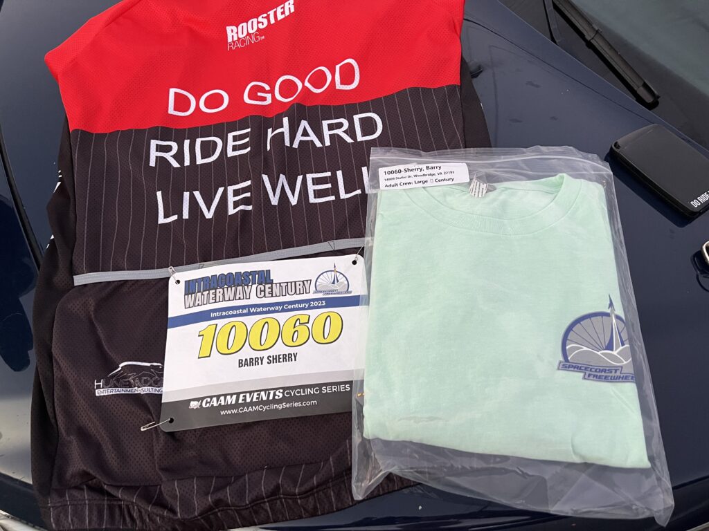
Quick Thoughts – The registration process stated that the event materials including a T-shirt would be mailed to the riders. I registered two months in advance but never received anything. I had to arrive early today for late registration ready to explain that I never received anything. Turns out they didn’t mail mine. Sigh.
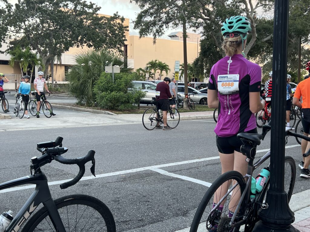
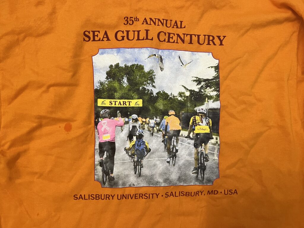
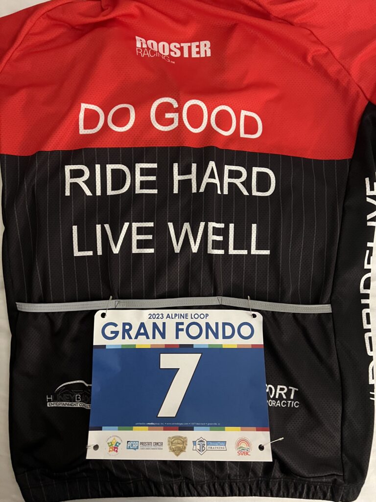
A t-shirt and my riding bib/tag
I met a nice young woman who was sitting on the curb 15 minutes before the start time. I convinced her to sit on a bench with me and save her legs. Kristen Reynolds was riding her first Metric Century and was a bit nervous about being able to finish.
Waiting at the start
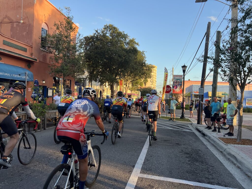
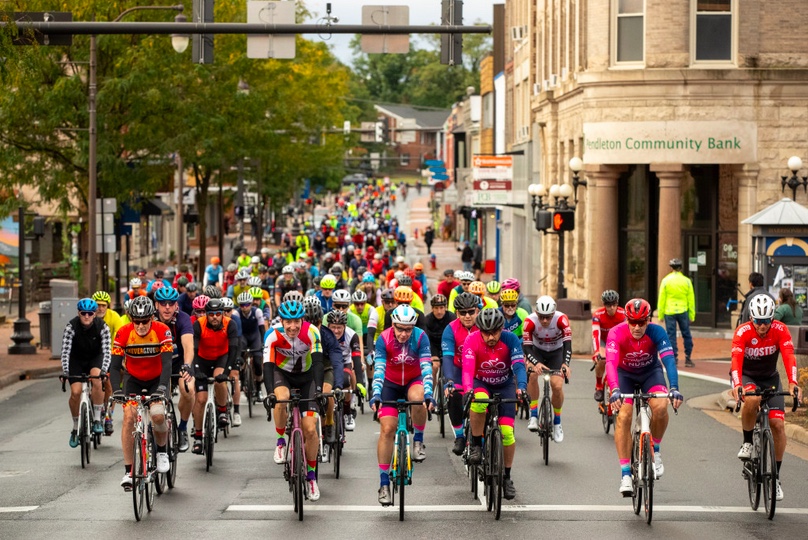
Part of me wanted to ride with Kristen to make sure she would finish but I decided to stick with my plan of a full Century ride. At just about 8:00 we all started moving. The event had around 400 riders so it wasn’t too large, unlike a Sea Gull Century which has more than 5,000 riders.
Early morning Start line
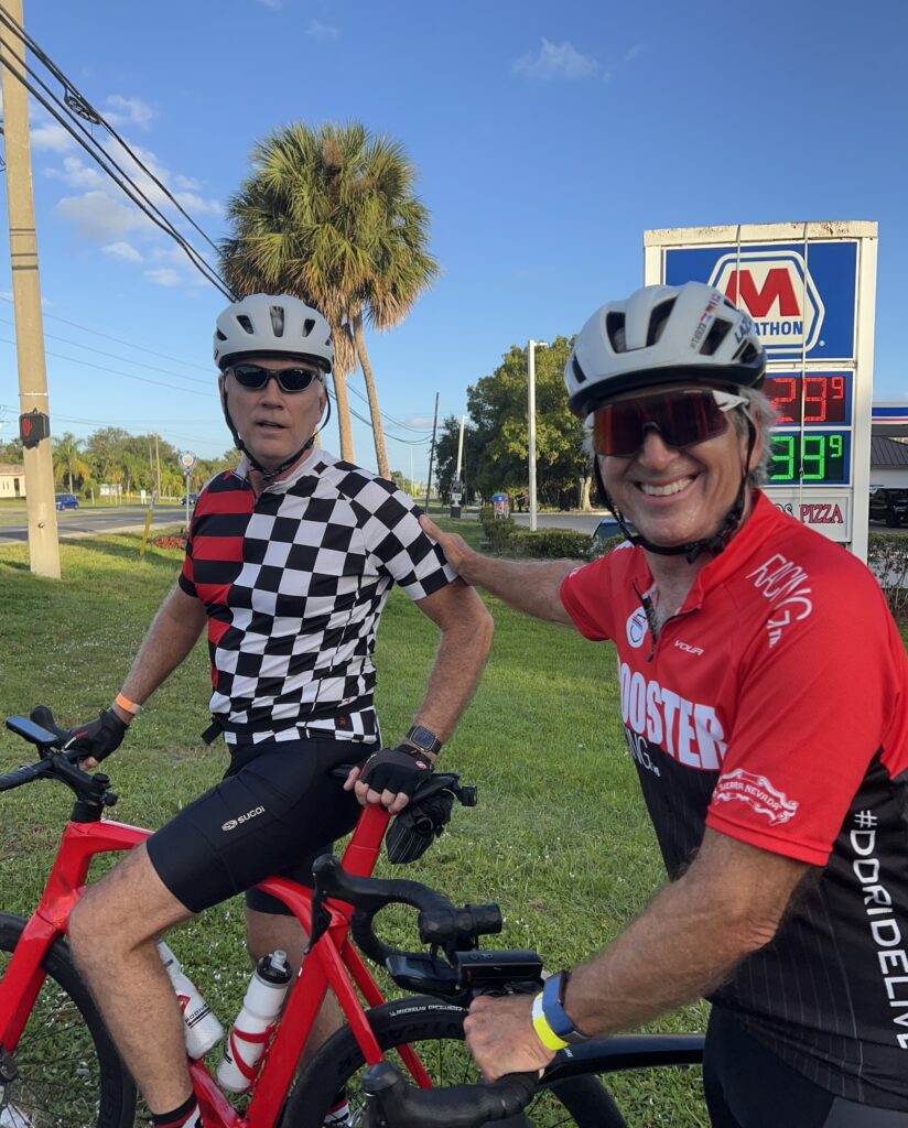
As I rolled out I recognized one of our Roosters from this summer’s trip to Luxembourg. I rode up to Keith but he didn’t know who I was. Strange. Very strange. I rode with Keith for the first 15 miles even catching Kristen who was flying. I was surprised that the split in the two routes came so quickly. I never really said goodbye to Keith or Kristen. They turned right. I turned left. Goodbye.
Keith from the Roosters Although we rode in a group of nine for six days in Luxembourg four months ago – he did not remember me
I turned west on the Century route while a large group I was in went east for the Metric. I was the only one who turned left. I thought I would be riding the rest of the century alone. I was prepared to ride alone. In one mile was the first rest stop. I made a quick pit stop and noticed a group of 5-6 guys getting a group photo taken. I left. Solo.
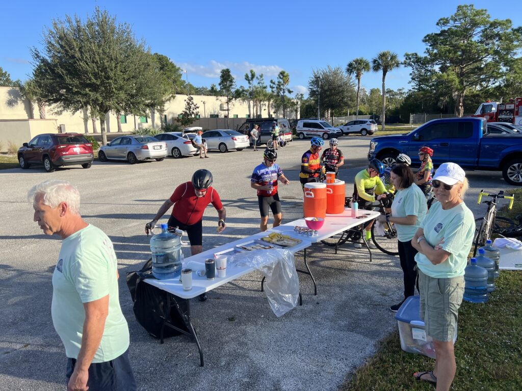
Rest stop one
After departing the stop I may have ridden one mile, at most two, catching one rider when the group I saw minutes earlier passed me by. One rider announced they were passing and told me to jump in. Another said, “Jump in, take a rest and recover, and then take a turn.” I liked the invitation.
Rolling at the start – Cocoa Beach
After the group passed me I jumped in. I had to judge what type of rotation or pace line they were riding and match it. We went in order with each person pulling off when they were comfortable. There were a couple of short pulls and a couple of long pulls. Their group of five became a group of six. As we passed other riders we grew to about 20 with the six of us doing all the pulling with 14 passengers. There were riders willing to tag on but not become part of our group.
Rest stop two
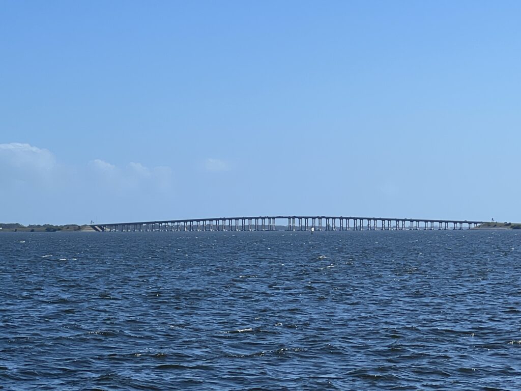
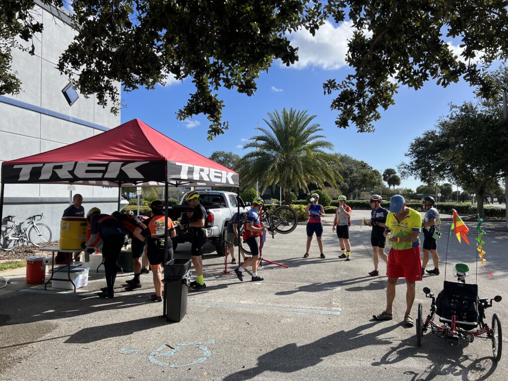
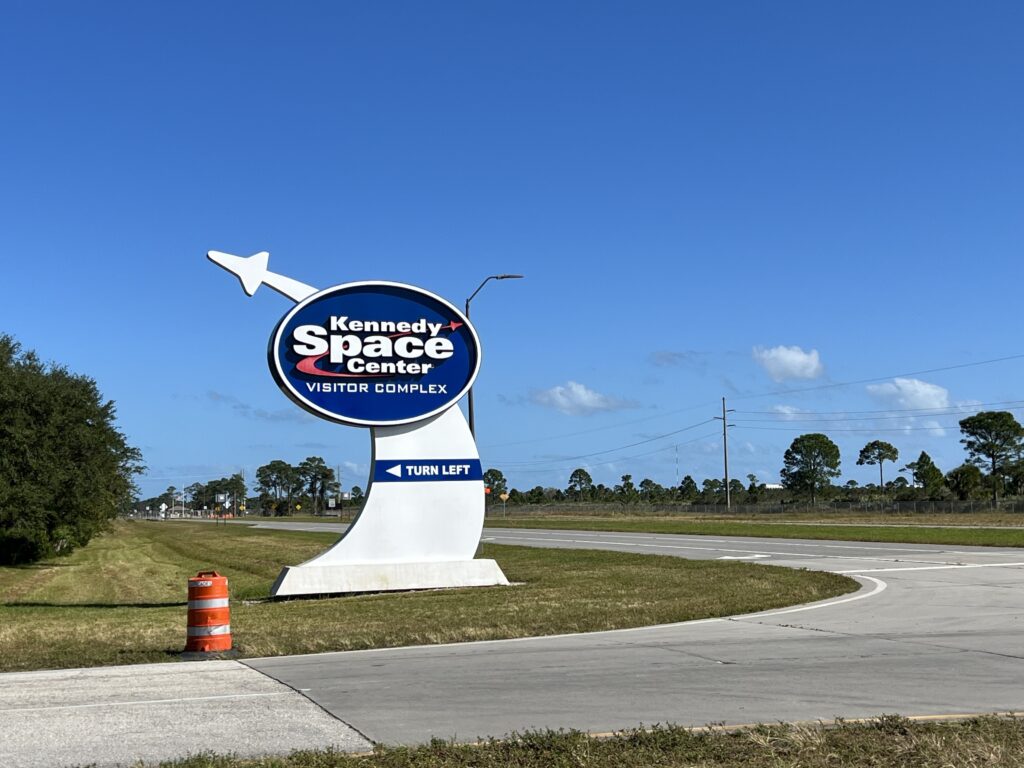
The composition of the group changed when we came to the NASA Causeway Bridge to the Kennedy Space Center. I was at the back hoping to take some photos. When I ride I love to take photos. Sometimes I can do it while riding solo but more often I pull over for a shot. Today I was in a line most of the way and could not capture the views to share with others.
Eau Gallie Causeway Dr. W. J. Creel Bridge
It was flat. Everywhere was flat. But the causeways all were bridges that became hills for those in this area. We came to the “hill” on the NASA Causeway. There was a split in our group and I found myself on the back of the split. I quickly moved past one or two riders to catch the front of our group.
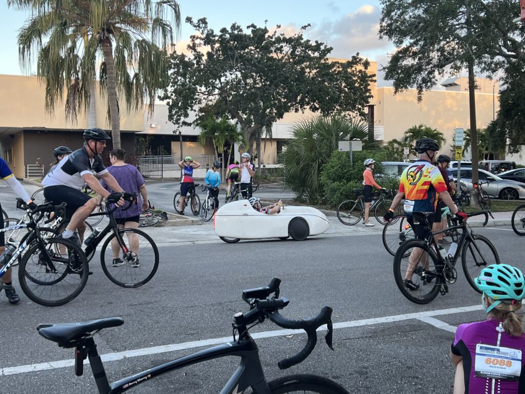
Every ride needs a Velomobile
Coming down off the bridge we had a great view of the space center to the left across the Indian River and a canal to the right. I saw an alligator in the canal but could not take a photo.
Rest stop two
At the end of the causeway, our group pulled over realizing they dropped Walter. One rider doubled back about one-half mile to see if he was coming but didn’t find him. I later learned that Walter had been off his bike for three years and jumped in today to ride 100 miles. Dumb if that’s what he did. The group waited about 10-12 minutes and then continued on without him.
Baby Cokes at Rest Stop 4. These were a life saver.
Walter apparently abandoned and presumably called for a SAG. But no one in our group called him? Maybe they knew him but weren’t necessarily friends with him much as I would be in the Prince William Cycling group. I know a lot of people but I’m not friends with most or have their cell phone numbers. Poor Walter.
Kennedy Space Center
Around Mile 60, Herb and I were at the front and we caught another group. In doing so we dropped the other three riders we were with. I was willing to hang on the back of the new group after pulling so much but Herb suggested we wait for his group because “they need us more than we need a free ride.” We waited.
Rest stop 3
Leaving the third rest stop I wanted to ride faster. And it was a weird situation that I joined a group and rode 45 miles with them but was ready to abandon them. Is that wrong? Twice when their riders were hurting the group stopped so I did too. I was part of the group. But to ride a century the advice is to ride the first third slow, the second third normal, and leave yourself enough in the tank for the last third. I did.
On Merritt Island – the Indian River
Today I had lots in the tank and wanted to pick up the pace. Every time I was on the front I was constantly looking to see if someone was on my wheel. And often it was one rider with a split. Sometimes it was just me. I slowed down.
Bridge on Merritt Island
At what point do you become part of the group and can’t leave? I could have pedaled away at any point, with or without a word. But I stayed with the group taking turns pulling with those still working.
Rest stop 5
In the end, we finished together except for Jim who dropped back with three miles to go. And I know Tom appreciated I was pulling my share in the group when he couldn’t contribute. After the ride, he thanked me for pulling. He said he doesn’t normally ride that fast and was just trying to hang on but was very pleased with his average speed for the day. I didn’t tell him that I was always slowing it down to keep them with us.
Indian Harbor Beach – Eau Gallie Causeway
It was a good day. I started slow to stay in with the Metric riders until they turned. Then I thought I had 85 miles of solo riding ahead of me. The Melbourne Old Cranks (my new name for them) made the ride very interesting and enjoyable. I don’t know how many they had passed and how large of a group they wanted. But they invited me to work with them and that clearly saved my energy. And I was the only one who joined them.
Rest stop 5
Never say never. I thought this would be a one-and-done ride and it probably was. But I already drew a new route for my personal century ride if I would do this again. I’d follow the Metric ride back to finish, cross the causeway at Cocoa Village then pick up the Century route. It would mean four causeways instead of two, only two miles that are “off course” (crossing the causeway at Cocoa) and a new distance of 107 miles. Sounds awesome. Maybe I’ll be back. I would like that.
SOME ODDS AND ENDS
I monitor my biometrics with the Whoop Band. Without fail, my recovery the night before a big event is always in the red. Today was no exception.
Take it easy. Don’t ride too far today. Yea, right.
I think the mental aspect affects the physical recovery. It’s not like I stayed up all night worrying but just knowing a big effort is required seems to effect me.
Bad slice
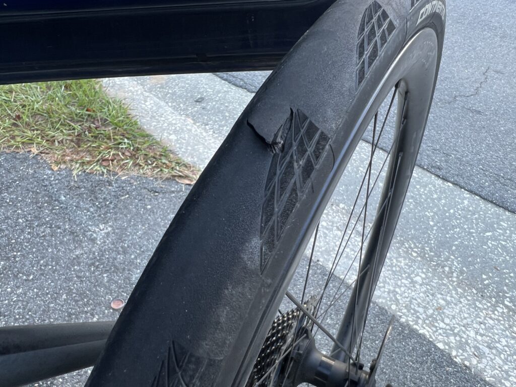
At the Eau Gallie Causeway, I heard a piece of metal being hit and landing. It has a distinctive sound. I also knew it was me. I thought for sure that I would have a flat within the next 30-60 seconds but I survived that. Unbeknownst to me was I had a slice in the tire. We were at Mile 79 and had 21 miles to go. None the wiser, I rode on the slice back to the finish line. Pretty impressed by those Continental 5000s.
I should have pulled over and inspected it. Although I had an extra tire with me in my car, I didn’t carry it with me on the ride. I really had no choice regardless. Ride and hope. And carry the SAG number in case I had to stop.
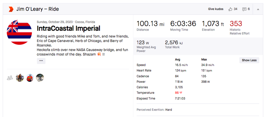
If there was any question as to whether I was part of the group and therefore should not have left them it is this. Jim gave me a shoutout on his Strava (although I’m not from Roanoke).
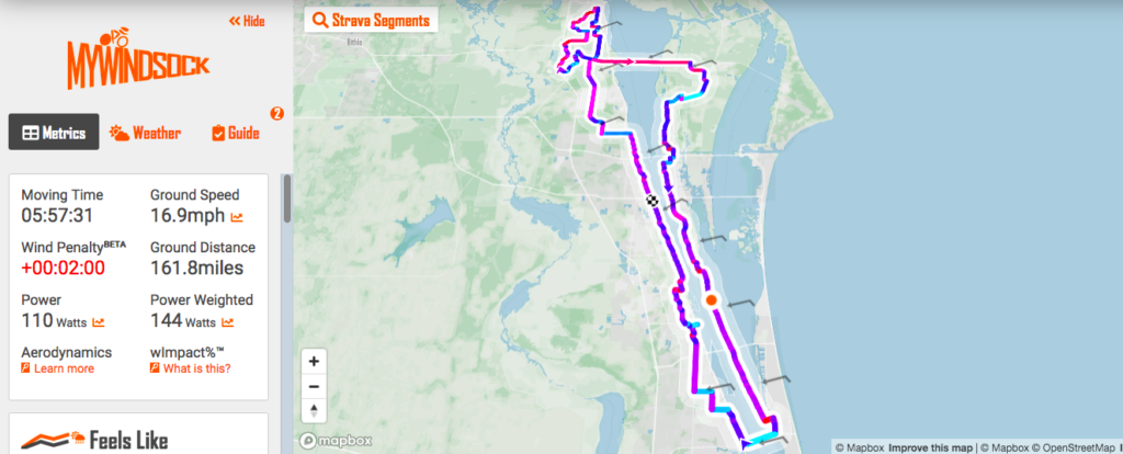
It was windy. But most of the route was north-south and the winds were consistently ENE, in other words, crosswinds.
mywindsock.com
I’m still learning Windsock but this graphic shows the wind direction. Crosswinds. It also looks like there was a two-minute penalty for the wind which I guess means with no wind I would have finished two minutes sooner. That seems low to me but it’s fun to think about.
IMMEDIATE REACTION – While it should never be about speed this ride tends to be about speed. I have never failed to do this in less than six hours (16.7 mph) until today. In most rides, I can jump in with other riders for a while but today was a solo ride. Yet in 2020 when this event was canceled due to a cold with a scary-sounding name, I still averaged 18 mph solo. I didn’t have the energy and should have stopped at the cafe at the entrance to Assateague Island. It was a Bonk.
SALISBURY, MARYLAND
The forecast for Saturday looked grim. Showers in the morning with steady rain in the afternoon. Half an inch of rain. Mid 60s.
Parking at the Hampton Inn, Fruitland, Md.
I watched the forecast all week and decided on Wednesday to cancel my two-night stay in Ocean City for Friday-Saturday and booked one night for Thursday at the Hampton Inn-Fruitland (Salisbury). I would do my own Sea Gull Century on Friday and take advantage of the nice weather.
Hampton Inn and Suites, Fruitland, Md.
I have ridden in the rain a lot. If the temperature’s warm enough and you are with friends then it might be okay. But I wasn’t planning to ride with anyone at the SGC. I have ridden this event enough that I knew or thought I knew every turn. I didn’t need to ride this in the rain.
Seatick Rd
It is a rain or shine event along with a no refund policy. I had paid my $100 and really wanted to ride this 100-mile course. Fresh off some personal records for speed in Corolla, North Carolina, I was in my peak end-of-season fitness. And I wanted the ferry.
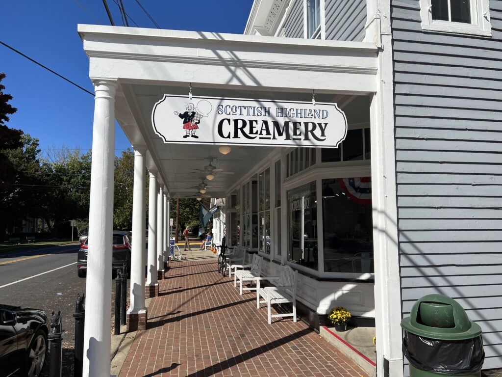
The new Scottish Highland Creamery, Oxford, Md.
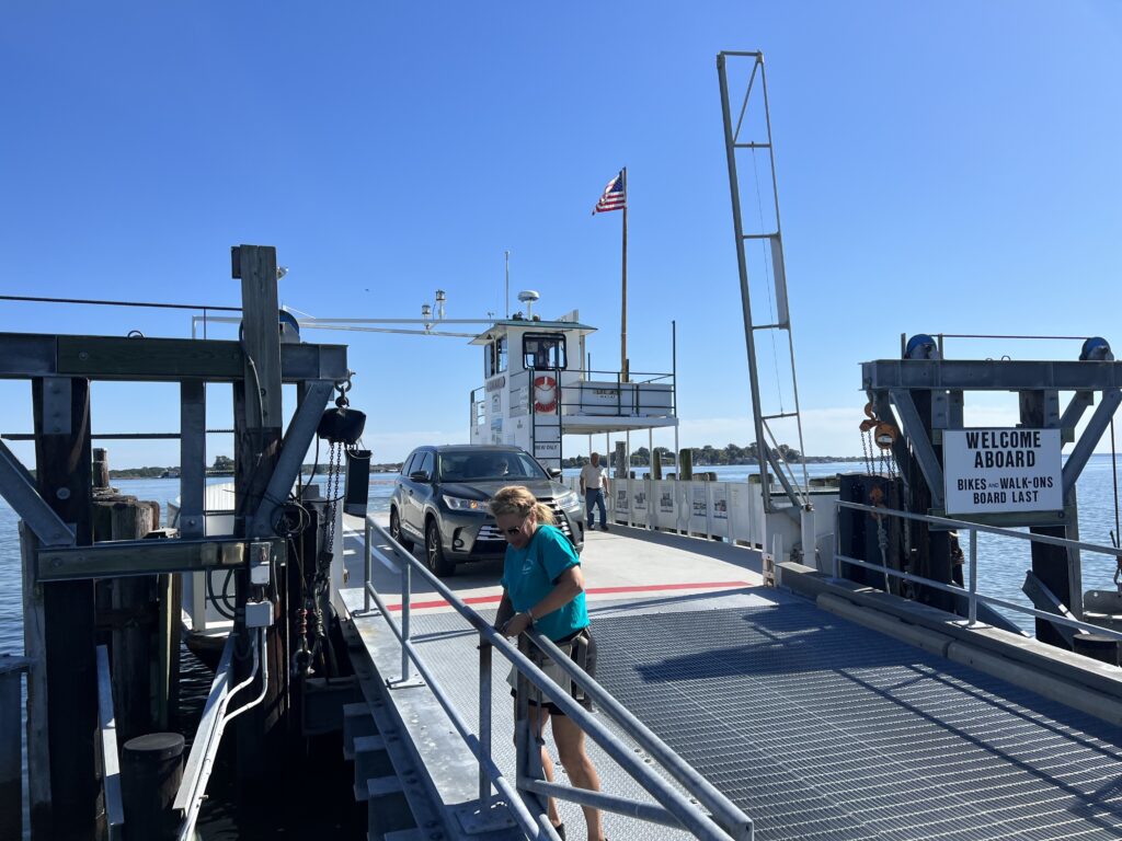
On Thursday I drove to Salisbury but first stopped in Easton for a St. Michaels loop ride. I went out to St. Michaels, rode through the beautiful residential section, cut over to the trail, and then headed to the Oxford-Bellevue Ferry. The operator was Brooke, a lovely woman who had been from Warrenton, Virginia. And stopped for ice cream, of course.
Oxford Ferry
Dinner last evening was across the street at the Texas Roadhouse. I ordered a 6-oz. sirloin, a cup of chili, and corn. That seemed to be an adequate meal. A the Hampton Inn my breakfast was a bowl of oatmeal (but probably not much bigger than a cup), a scoop of scrambled eggs, and a thin-sliced ham patty. Should have gone with the waffle. Or lots of oatmeal.
Perryhawkin Church Road
Last year it was overcast and almost cold. I blew by the first two rest stops stopping only at the one at Assateague State Park. I took only a bagel. Two bottles of fluid shouldn’t have been enough but it was. Because I rode well last year I wasn’t worried about nutrition today. I carried two SIS gels, two chewable carbs, one pack of Honey Sticker chews, and a banana I got from breakfast. And two bottles.
SGC Markings on the Road
I was ready to roll and reviewed my directions. On Tuesday an email had gone out to all riders:
IMPORTANT NOTE: **Route Detour** Please be aware we were required to add a last-minute detour to the route affecting BOTH metric and century riders. Updated RidewithGPS links can be found on our website (seagullcentury.org).
Somerset, Md.
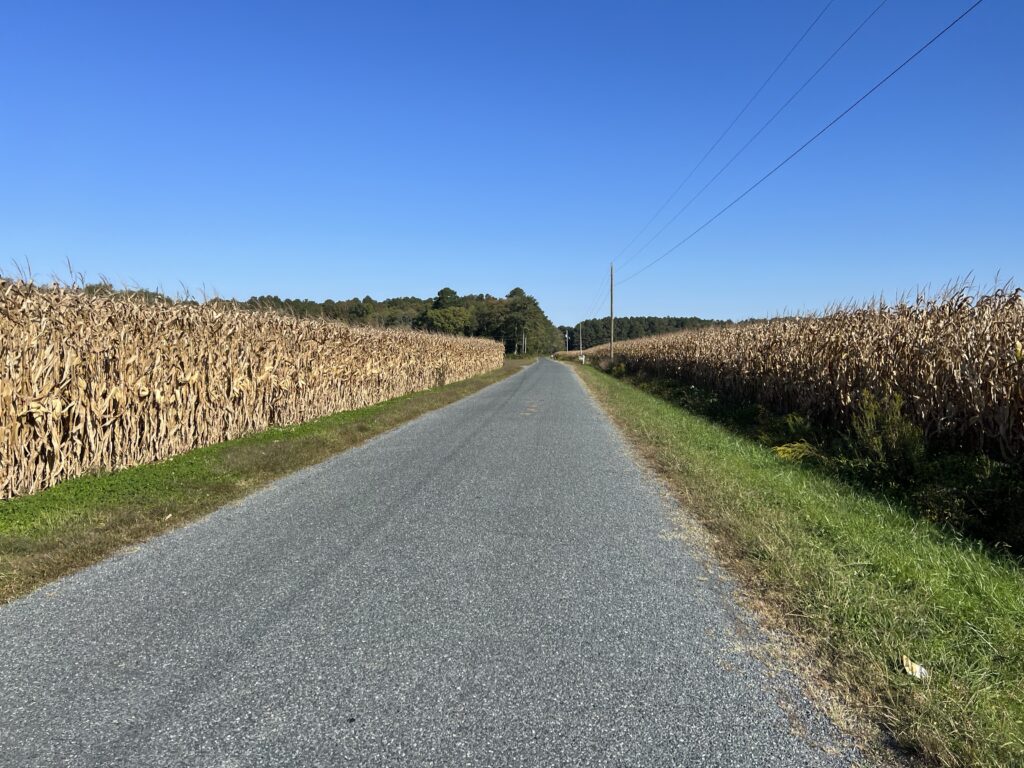
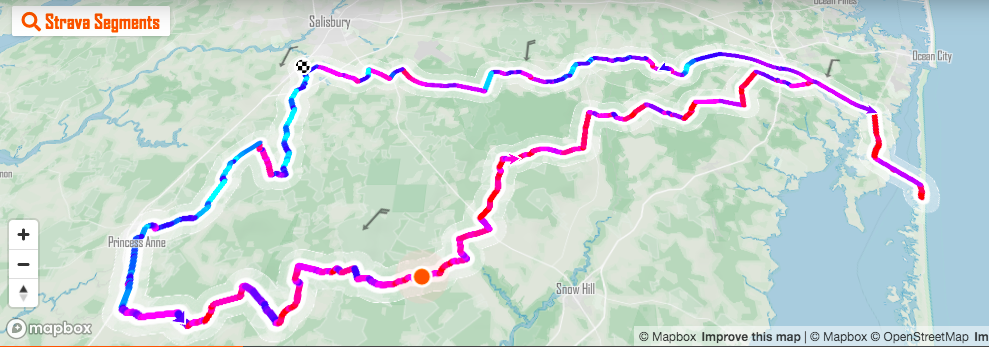
Despite knowing every turn of the route I went to the SCG page and downloaded the route to my Wahoo. And indeed the route was different this year compared to the past. We were no longer going through Snow Hill (a neat little town), along the bayside, or through Newark. Whether this was temporary for this year or permanent I do not know.
Washington High School – Rest Stop One
It was 55℉ (12.8℃) when I started. I wore my Schleck Xperience kit, arm warmers, and a vest. The low rising morning sun brought much-needed warmth and it was very pleasant riding until I came to one of the forested sectors. The temperature seemed to drop 10 degrees inside the forest and the sun was completely blocked from reaching the road. It wasn’t until three hours into the ride that I finally removed the vest. The warm warmers came off 30 minutes after that.
Porta-johns are the most welcome feature at Rest Stop One
I had made my own route change. Instead of leaving from the college at the official start, I would ride out the door from my hotel in Fruitland. It was less than one mile before I would pick up the route of the SGC. I could return to the college for my check-in to pick up my swag (t-shirt).
Maggs Gym at Salisbury University
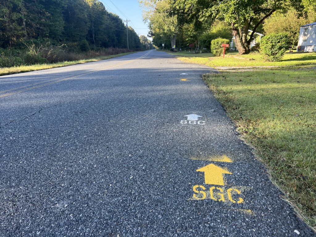
The first rest was set up at Washington High School in Somerset, Md. The porta-johns were all in place as was a tent for the food and snacks. It was two miles after this stop where I came to the first fork in the road. My map had me going straight on Dublin Road but the painted SCG markings turned right on Arden Station Road. I first followed the markings but then did a U-turn. Once I was no longer following my Wahoo but some paint in the road I could be in trouble. I have missed marked turns before but never missed a turn on the Wahoo. In Wahoo I trust(ed).
Had a great bib number this year
The routes came back together, maybe at Mitchell and Dublin Roads. Two other times the painted directions and my Wahoo downloaded map would disagree. I always followed Wahoo.
Pusey Branch, near Snow Hill
Why the change in route I do not know. It could be for safety or police reasons as the old route to Snow Hill and Newark featured crossings of busy US 113. A few years ago there was a light that cyclists used to cross 113 near Newark that went onto Newark Road. That featured an odd grade crossing of railroad tracks that many riders crashed on. The newer version featured riding on 113, with the help of police, but they were there for hours stopping traffic.
Berlin – It is much more quaint than this photo
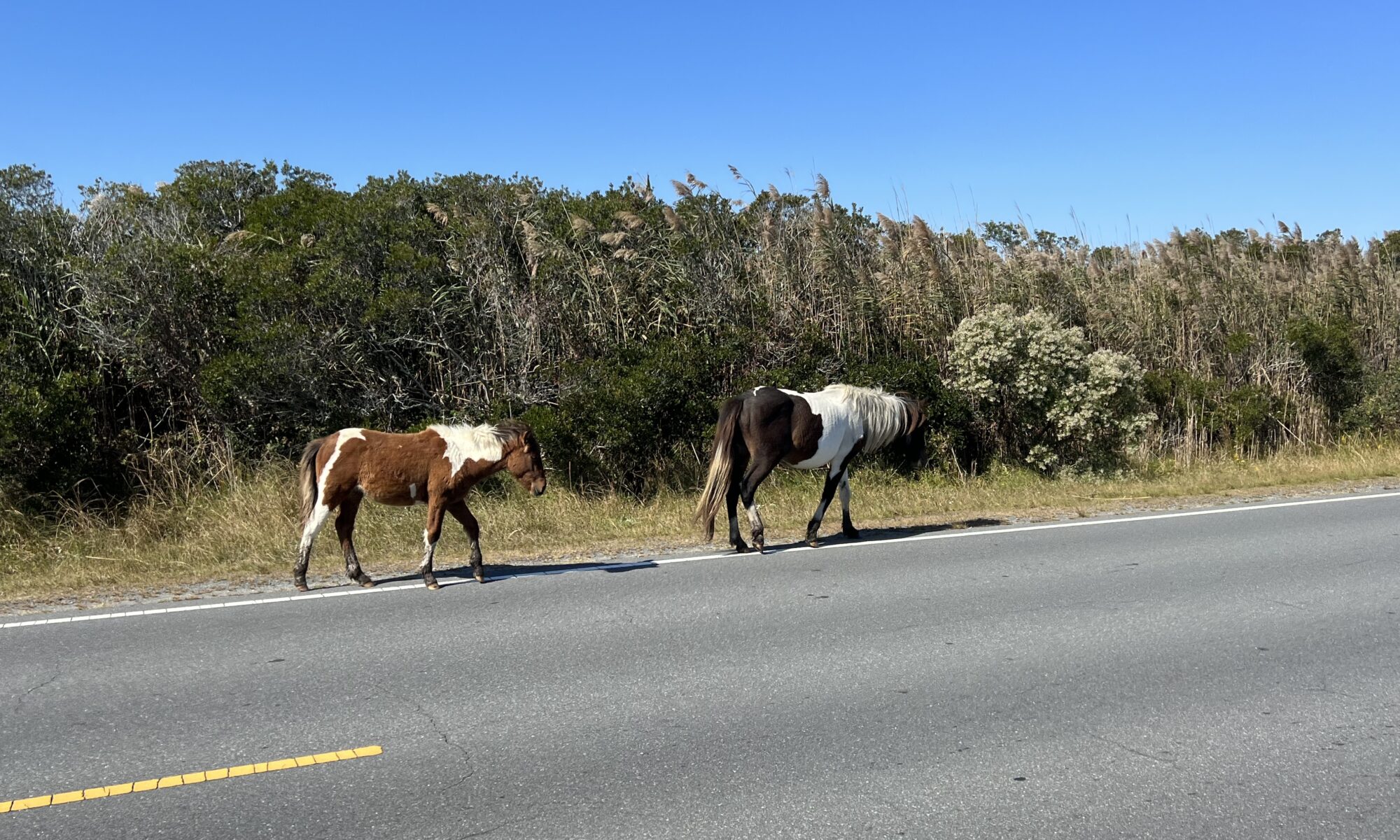
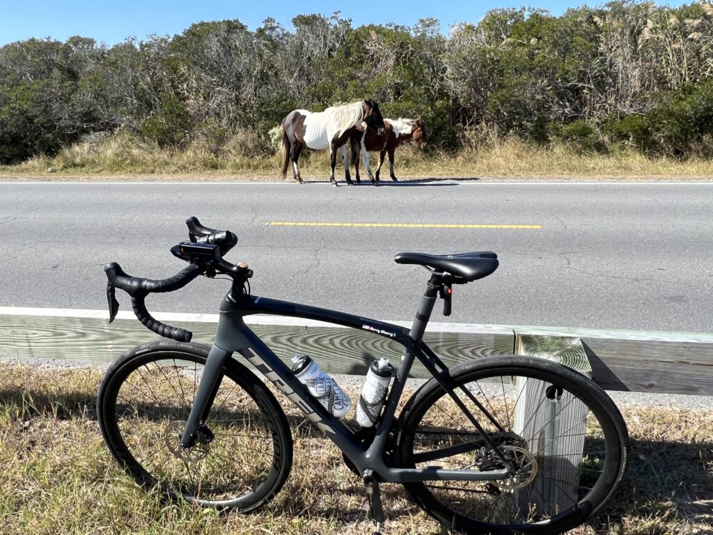
The new route featured many more miles in the country. The roads were “heavy” (chip and seal) and my speed was slow. Once out to Berlin, it was the same run into Assateague Island. A park ranger told me 3-4 years ago that for his event they try to move all the wild horses to the south end of the island to avoid the crowds of cyclists.
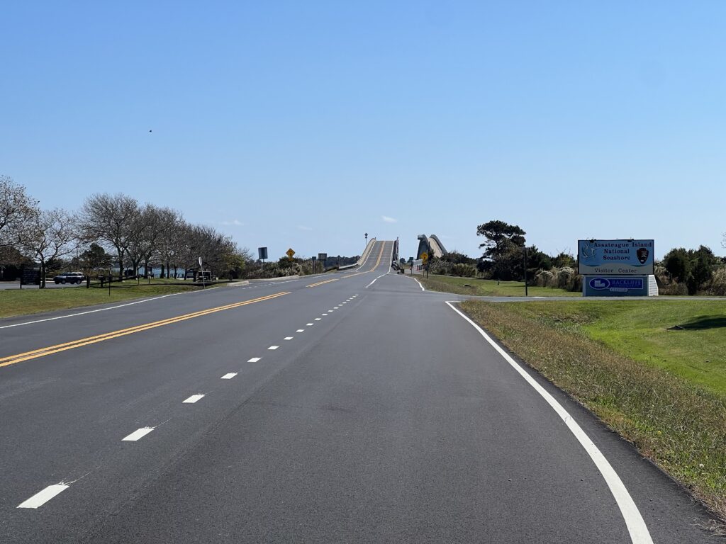
Assateague Island Hill Climb
I did not stop today at the Maryland State Park which is where the main lunch rest stop is for the SGC. Instead, I turned right to go to Assateague Island National Park. I have a pass to get me in. Before I reached the entrance I came upon three horses grazing. I said hello, took a photo, and then headed back.
Assateague Island
There was one small change from the past years’ route. Instead of following Sinenpuxtant Road today’s route was to follow Assateague Road back to Berlin. That saved two miles and at that point was probably just to shave miles since the new route was already over 100 miles in length.
Assateague Island. Watch your wheels.
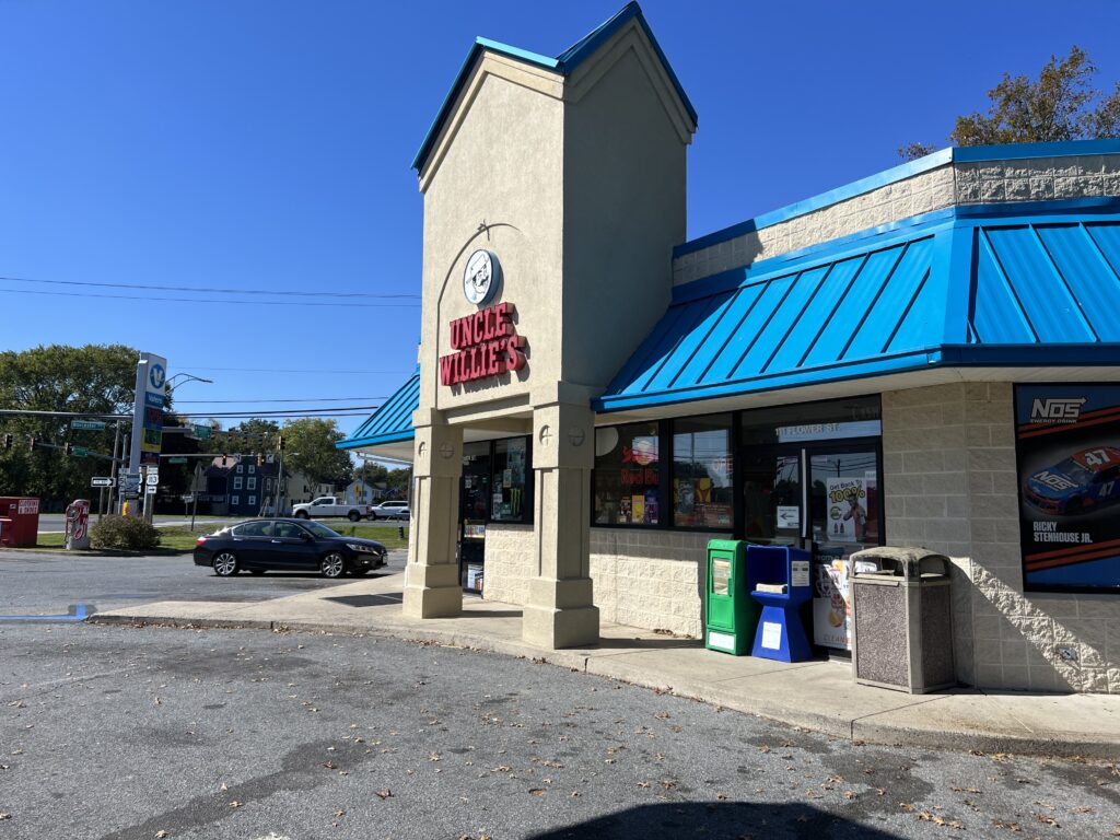
I had decided to get something to eat in Berlin. I was thinking the convenience store called Uncle Willie’s. But when I arrived the clientele hanging around outside did not give me a good feeling about leaving my bike behind while I went inside to make a purchase. I continued on.
Uncle Willie’s
The SGC route takes riders around the beautiful downtown in Berlin but I chose to ride through it. I found a burger place and then made a stupid decision as I usually do when I am tired. I decided that time was more important than food and would just roll on to the end. I had less than 50 km to go.
100k to go. This was a milestone today as I felt sluggish all day.
As I got closer I was feeling very sluggish. No power was coming from my legs. I was just pedaling – maybe pedaling squares in cycling parlance. With 12 km to go I turned off the route back to the college and changed it to route to start. I didn’t need to go to the college on my bike. That could be sketchy too to leave it outside unlocked.
Assateague Island. Looking at the Atlantic Ocean.
I headed back to the Hampton Inn. I hadn’t been tracking average speed and even if I did, I display it in kilometers so I wouldn’t know what my goal was. But when I uploaded my ride to Strava and saw my average I was disappointed my speed wasn’t higher. But I was bonked.
THE FUTURE: “Never say never. But never.” (Mike Tomlin). I’m not saying I will never do this event again but doubtful. Of course, this would change if a friend or friends are going and want to ride in a group. Last year for $100 (?) I got a T-shirt. And a bagel. I acknowledge that free snacks and drinks are available on course at four places but I typically don’t take advantage of them.
Swag
If I want to stay in Salisbury the hotels are much more expensive the weekend of the SGC if you can reserve one. In my case, the Hampton was $82 more per night (tonight vs. Thursday night). A better route for me is a solo ride starting in West Ocean City and riding to Salisbury, saving Assateague for near the end. I always like building towards the big crescendo.
Windsock. Lots of red (wind in my face)
It’s a fun ride. A flat but windy course. But I don’t need the event to ride. I doubt that I will come back specifically for this event. But never say never.
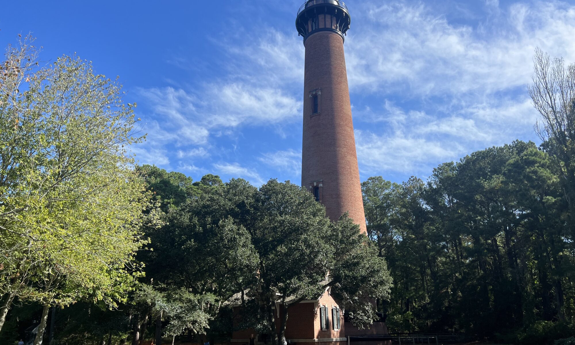
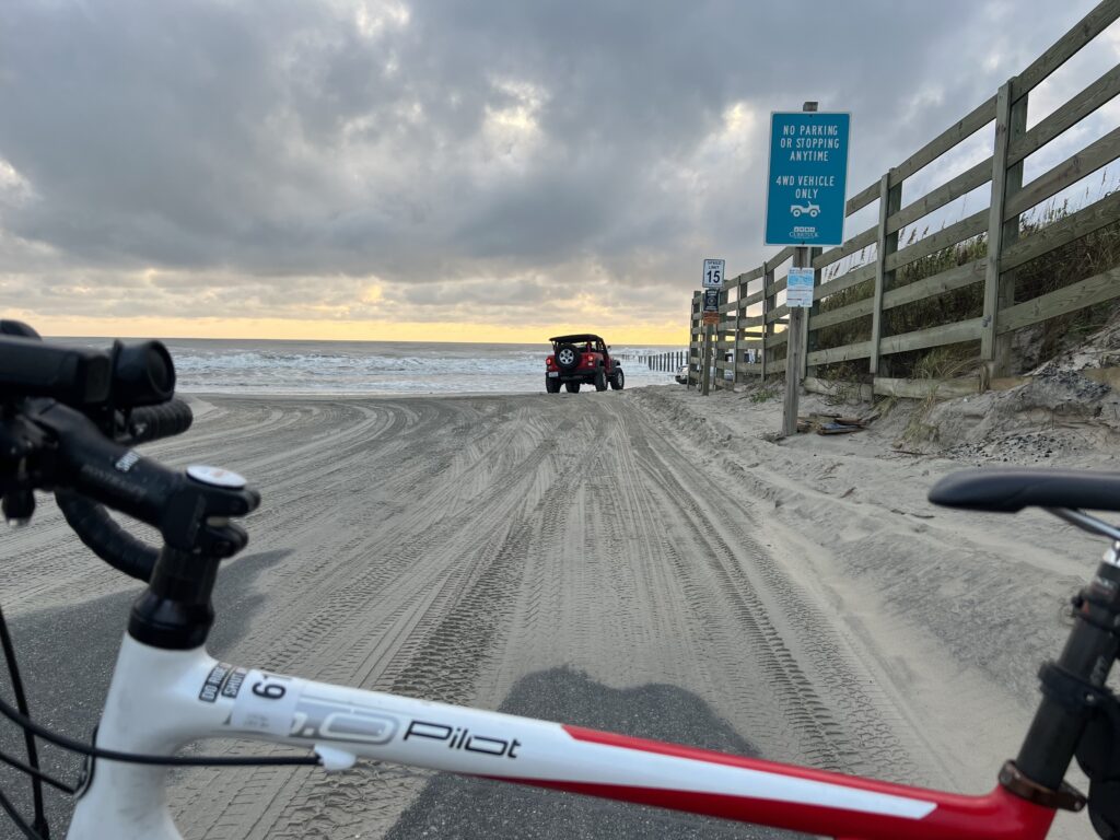
I am nearing the end of a week of vacationing in Corolla. This is my first time here in this northernmost part of the Outer Banks. I had no expectations so I could not be disappointed if my expectations were not met.
End of the road
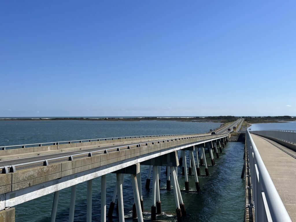
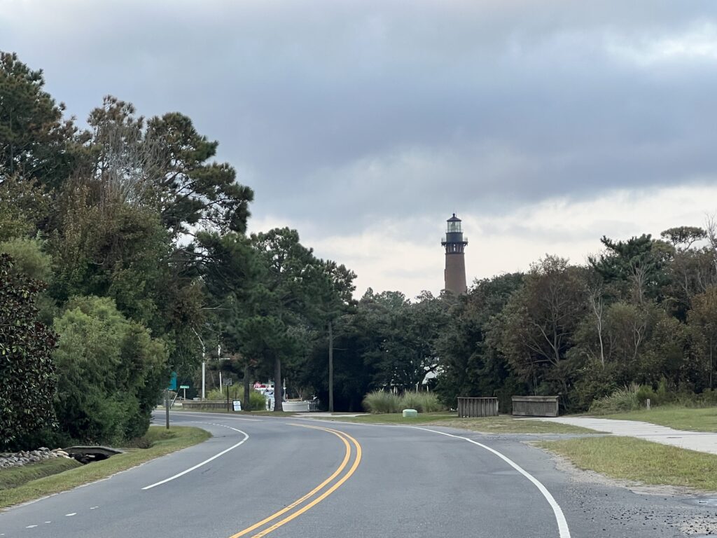
The main road, because there is only one, is Hwy 12 from Kill Devil Hills. It is a 20-mile two-lane road with speed limits of 25, 35, and 45 mph. There sometimes is a narrow shoulder and sometimes no shoulder at all. In Duck, there is a separate bike lane. In most areas, there is a “bike path” which is narrow at times, curvy, and in many places, it is a concrete sidewalk.
Hwy 12
On my first day, I rode north to the end of Hwy 12 where one can drive on the beach (4-wheel drive vehicles only). I looked for side streets that followed the main roads but there were few. I thought I might be riding from Corolla to Duck and back a few times but really didn’t like the road although I saw a handful of cyclists on the road.
Beach at Corolla
I turned into my neighborhood and found what would be my riding course for the week. There are three parallel streets between the ocean and the main road. And they are three miles long. There are some intersections, four-way- so some stopping is necessary. But it’s flat and about as traffic-free as one will find. In fact, a bigger obstacle was people walking to the beach.
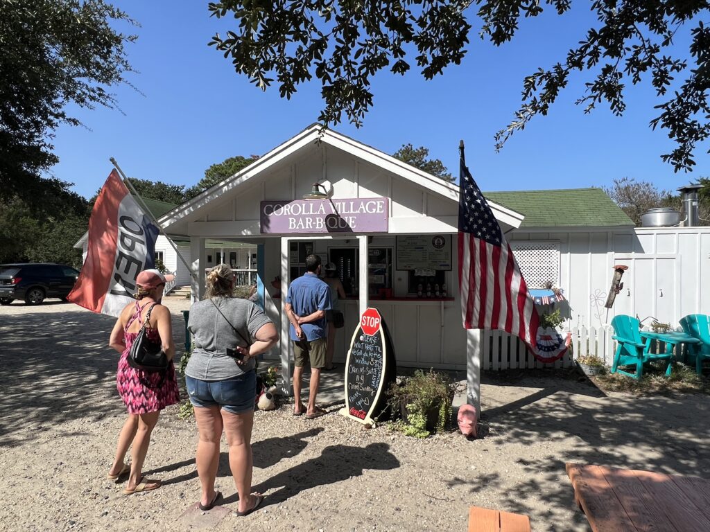
Corolla Village BBQ
It was windy. This is, after all, where Orville and Wilbur Wright came to test their flying motorized kite. They needed constant wind and sand and this place has it. On Monday I went out and did some laps of the neighborhood. I wasn’t pushing it but saw my speed was 19 mph which was higher than anything I rode last year. (I did an average of 19.3 mph one month ago in a group ride).
Long (3 miles) streets
It was a week of Wahoo woes. My Wahoo wasn’t syncing with the Wi-Fi in the house we had rented. I couldn’t sync my routes but did find a different way to import my routes. I made a route to follow for fun but mostly as a test to see if by backward way of importing a route would work. I was planning a 50-mile ride at Currituck on Tuesday so the neighborhood ride was perfect for a test ride.
Swimming on Corolla Drive
On Monday the test was a three-lap ride of two streets but only to the first stop sign. It would be a perfect circuit. On the first street, I had to brake for a slow-walking family that was blocking a crosswalk for all their kids to cross. I was annoyed enough that I called it a ride. The Wahoo was working as advertised and that was good enough for me. I pedaled back to start. I uploaded my ride and saw that I rode at 20.1 mph. Wow! Although it was less than five miles, I was very pleased.
Enjoying the beach
I went out on Wednesday intending to ride the full course which was 11 miles. I was riding well but my plans were sort of waylayed by a policeman on course, parked at a stop sign. Perfectly done, this course had three stop signs, all right turns, and only one with cross traffic. I was hoping to roll through each but when I came to the second sign and saw a policeman sitting there. I stopped. I took a gel. Then I had to get back up to speed.
Corolla
At first, I decided to scrub this ride but then rode just for the fun of it. Speed no longer mattered. When I finished I had completed my ride of 11 miles at a speed of 20.2 mph.
Good beach traffic
I could but choose not to display distance traveled on my Wahoo. I also choose to display in kilometres and not miles. So when I went to the metrics page I had no idea what 32.5 kph meant. Turns out it means 20.2 mph.
One of the bike paths between the streets
After that, I just rode. Every day I put in some miles. I am balancing family here at the beach with riding but I could ride all day here in circles. Or rectangles. I doubt that I come back here but would love to if the opportunity presents itself. A nice place to ride.
Early morning at the beach
The three main streets in Whalehead. From the ocean they are Lighthouse Dr., Whalehead Dr., and Corolla Dr.
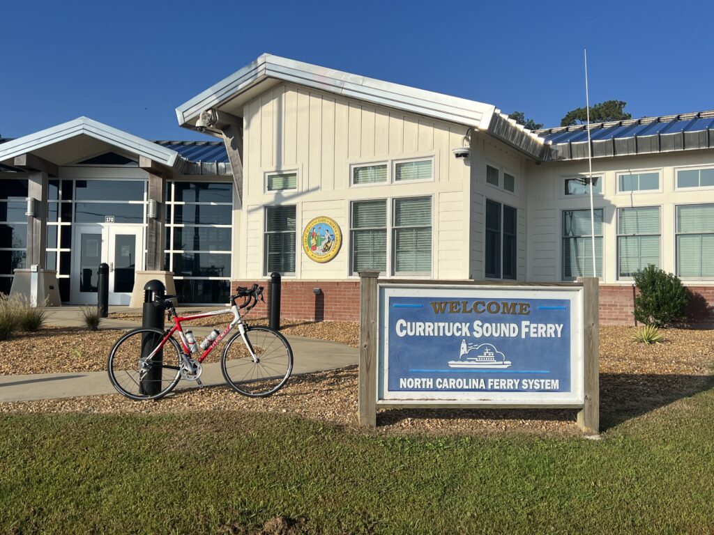
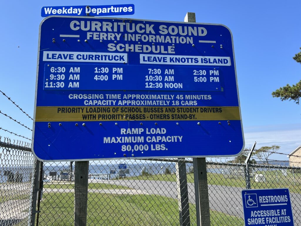
Every ride needs a ferry. And this could be a near-epic ride. A medium-distance ride (80km/50mi) and a 40-minute ferry ride.
Ferry at Currituck, N.C.
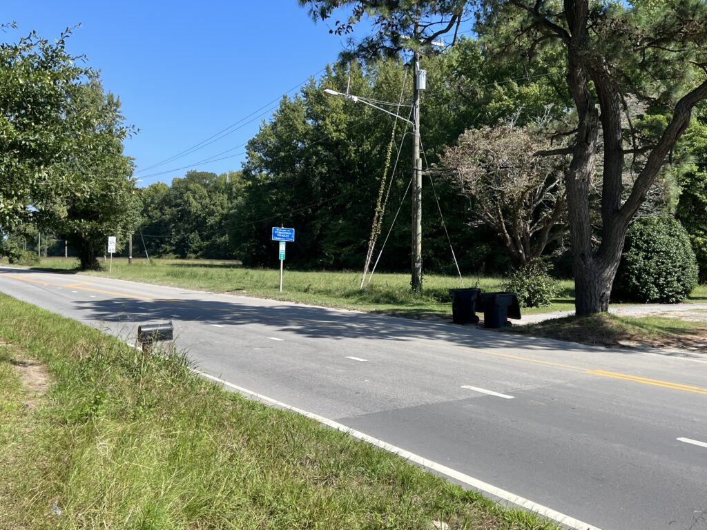
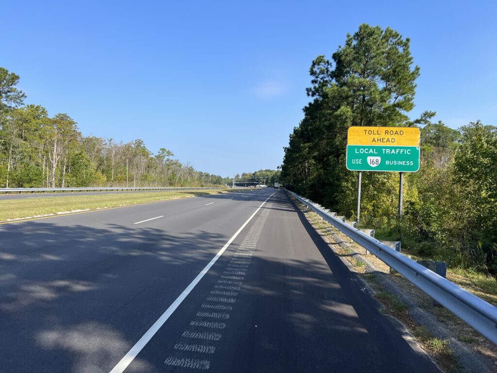
Using the tools in RideWithGPS I mapped out a ride between the two ferry terminals of the Currituck-Knotts Island Ferry. I choose a couple of points on the map and RideWithGPS then mapped out the route. It usually avoids major roads, and indeed, instead of riding on NC Hwy 168 it routed me over the road at Moyock and brought me back to 168 at Northwest for about 1/2 mile which was unavoidable.
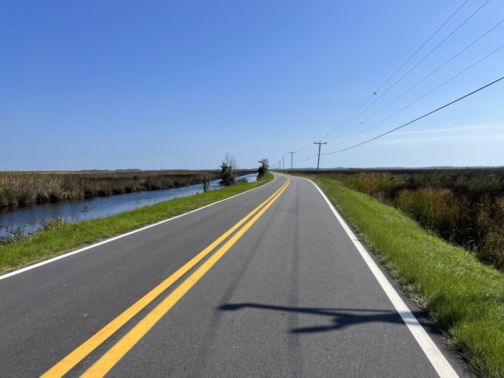
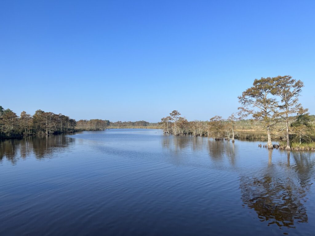
MacKay Island Wildlife Refuge – Marsh Causeway
The schedule was my main planning point. The ferry runs every two hours and one would not want to just miss a ferry and wait for 90 minutes or more for the next one.
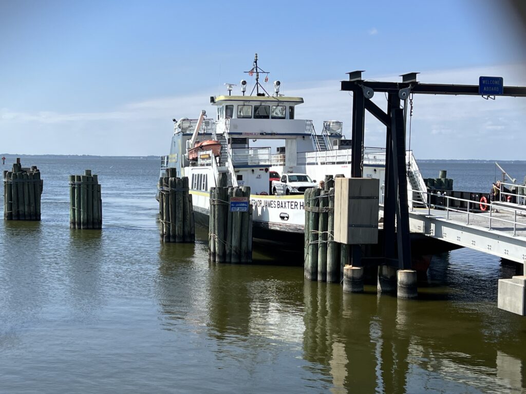
Ferry arriving Knotts Island
I mapped my ride from Currituck to Knotts Island. This was in a clockwise direction and had nothing to do with prevailing winds but was solely based on wanting to finish with a ferry ride. Although it was negligible today it would make sense to check winds to see if one could catch a tailwind towards the end of the ride.
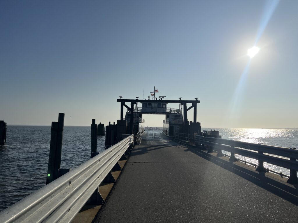
Ferry at Currituck, 8:33 a.m.
From Knotts Island my feasible choices for meeting the ferry would be 10:30, 12:30, or 2:30. The only real workable time was 12:30 so I planned for a 9:00 departure and estimated that I would arrive at the Knotts Island ferry shortly after noon.
MacKay Island Wildlife Refuge
I was unable to determine the parking situation at the ferry. I looked for parks nearby where I could start my ride but when I arrived I pulled into the ferry administration building at Currituck. There was a small parking lot behind the building with a sign warning against overnight parking. I read that to be that daytime parking was okay so I parked.
Parking behind the admin building at the ferry
Some cars were coming off the ferry at 8:30. This must have been the 7:30 departure from Knotts Island and was running late. I thought that if they were departing soon it would behoove me to take the ferry first thing and ride my route counter-clockwise. That way I would have no downtime waiting for the ferry or angst in case I was running late. But a quick check of the sign and I saw the next departure was at 9:30. I rode my originally planned route.
Actually, this is in Virginia Beach
Almost immediately I was on NC Rte 168 but only for half a mile. Then I turned onto secondary roads. The back roads were great except for a major hiccup. Gravel.
Gravel. Not my friend.
RideWithGPS uses Google Maps and Google Maps showed the route as 100% paved. It wasn’t. I came to Cooper Garret Road. I stopped. It was gravel. And it wasn’t packed dirt. It was heavy gravel with a sand base.
Virginia state line (notice the pavement difference). But no welcome to Virginia sign. But there is a Welcome to Virginia Beach sign.
I opened up Apple Maps to see if there was an easy alternative. I didn’t see one. I slowly trudged through the gravel knowing it was a little more than two miles until South Mills Road and hoped that it was paved.
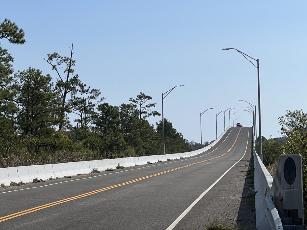
Bridge on Pungo Ferry Road, Virginia Beach. (Hillclimb)
I was on my Trek Pilot with skinny tires. The 25 mm tires cut through the sand and made controlling the bike difficult. I was afraid I might have a flat. And I was losing the time that was necessary to make the ferry on time at Knotts Island.
North Landing River, Virginia Beach
(Photo from bridge on Pungo Ferry Road)
I got through the gravel and back to paved roads. Barring any mechanicals or more road surface surprises I calculated that I should arrive at Knotts Island about 12:05 – 25 minutes to spare. Well, I forgot about the wind.
Va. Hwy 168 – Battlefield Blvd, Chesapeake, Va. (Only on this road for 1/2 mile)
There were strong winds blowing and if they were headwinds I could be in trouble. But they were mostly cross winds headed to Knotts Island with a tailwind the final 10 miles.
Ferry Schedule, Knotts Island
I pulled into the waiting area for the ferry at 12:00 pm. Slowed by gravel and then pulling over three times for photos, I still had 30 minutes to spare.
Knotts Island
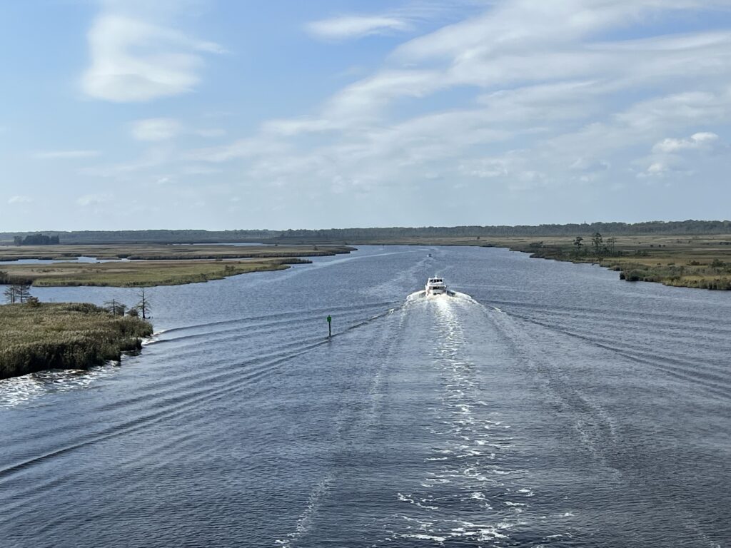
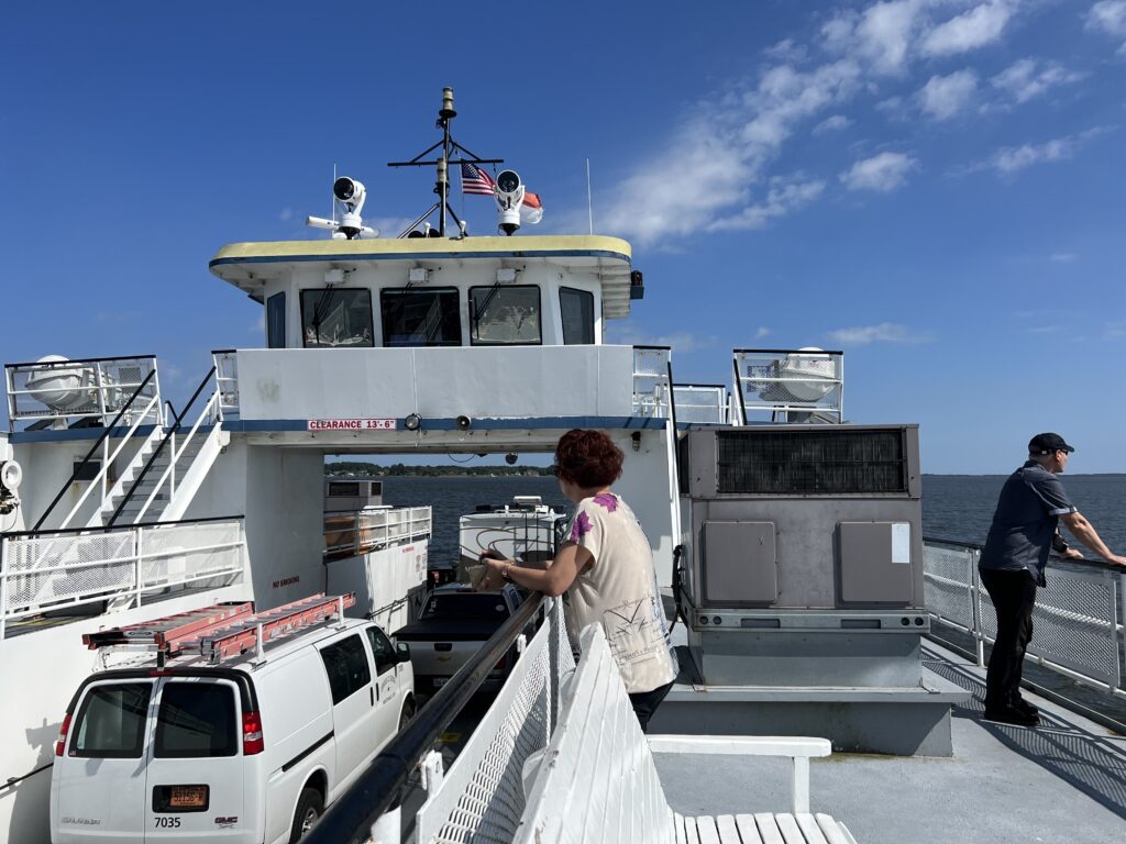
The ferry is free. It departed at 12:30 and made the crossing in 38 minutes. There was an RV, two cars, three motorcycles, and me on the boat.
Onboard the ferry
I doubt that I will ever do this loop again but I would love to. If anyone reads this and wants to ride it I’d turn right at the tracks in Moyock (before the tracks) onto Oak Street. Go three blocks to the end at Shingle Landing Road. Cross the highway and it becomes Camellia Drive. Follow that to South Mills Road and that will avoid that gravel. Avoid the gravel
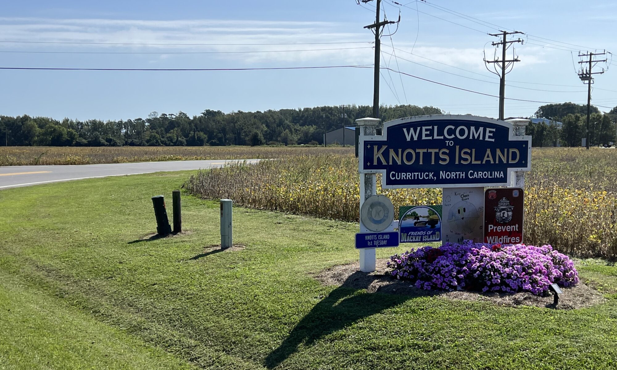
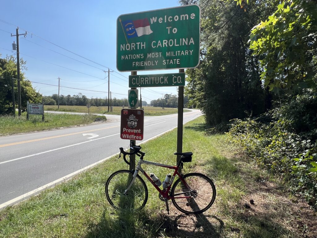
North Carolina border sign – Knotts Island
I rode this on a Tuesday morning in October. There was virtually no traffic on Hwy 168. On a Saturday morning, the departing traffic from OBX would be horrible and must be avoided. While the website seems to indicate the ferry runs daily, it must be noted that the sign on the schedule is for a weekday schedule. When we stopped on a Saturday there was a sign indicating that it was closed for the day. High winds were not a problem so before I would do this again I would double-check to make sure the ferry was operating. It may not operate on weekends.
Travel seems to affect me more than a hard effort on a bike. In the past three days, I’ve been to Altoona, Somerset, New Brighton (all Pa.), and now Harrisonburg, Va. When I arrived yesterday it was in the middle of Tropical Storm Ophelia. I had ridden daily since returning from Europe on July 4, a streak of 81 consecutive days. But yesterday was a washout and I viewed that as good. My body would rest.
Whoop band
The weather was unsettled as to whether the remnants of Ophelia would still be giving us rain in the morning. I had looked forward to my daughter, son-in-law, and granddaughters to be on course on U.S. 33 to cheer me on. As for the latter, the rain convinced them not to come and for the former, it was gray but mostly dry.
Ready for Action
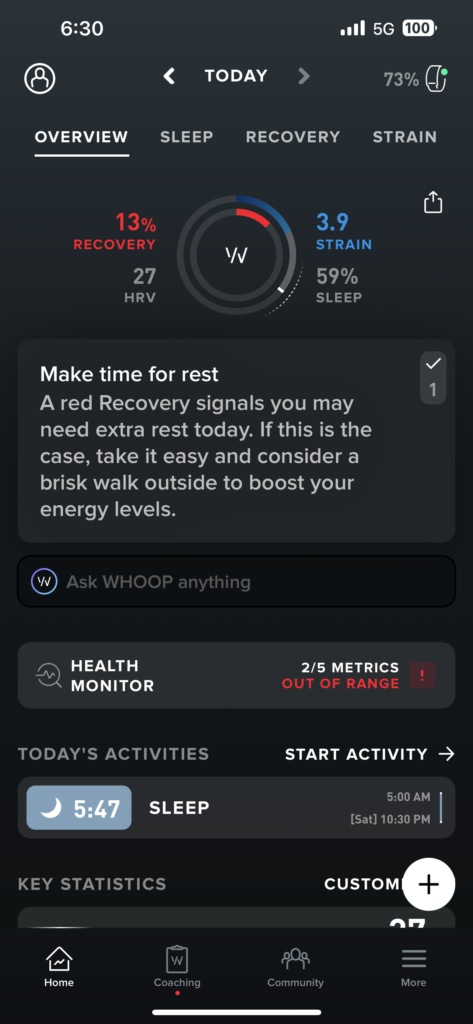
My Whoop Band provides biometrics and I looked at my data. My overnight recovery was at 24%. The suggestion was to stay in bed for the day. (Not really – but to rest and not take on any strain.) Whoop did not know that I planned to ride 80 miles including two huge mountain passes.
Robert Warren Hess and Barry
It was cool, 57℉, plus a chance of rain. No kids on the mountain climbs to cheer for me and the thought of riding on U.S. 33 wasn’t appealing. My Whoop said not to push the strain. I decided that I would ride with Robert Warren Hess, the founder of the Prostate Cancer Awareness Project.
Riders having fun
Robert and I rode near the back as he was riding the shortest route available, 36 miles. I would ride the Metric Century, some 62 miles. That’s not a lot different than the original 78 miles that I planned to ride but a significant difference in climbing.
On the loop
Robert and I rode and caught a couple from Greenville, S.C. The wife was telling me that her husband wanted to ride the Metric Century but would ride with her on the Valley View Challenge, the 36-mile route. I suggested to her that her husband could ride the Metric while she and Robert stayed together for the Valley View Challenge but he decided he would stay with his wife.
Rest Stop
After Robert and I rolled out of the rest stop we came to a split. The Metric route included a 27-mile loop back to the rest stop. I wished him well when a woman came flying up between us. She asked which way we were going and I replied “Whatever direction you are.” That wasn’t creeping on her, it was acknowledging that if she went straight Robert would ride with her and if she went right I would ride with her. She went right.
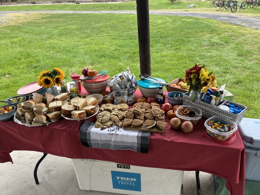
Food at the rest stop
Robert and I were last on course for these two routes that didn’t go over the mountain. As the founder of the PCAP, he spends time talking with every rider at the rest stop. And I also spent time meeting some Trek Travel Guides for the Shenandoah Valley Gravel Bike Tour. So we were quite surprised someone came up from behind us.
Trek Travel
Wilma started at 8:30 and missed our roll-out at 8:00. Her husband was also riding but he opted for the 36-mile route. I sensed she wanted to beat him, i.e., ride 62 miles faster than he could ride 36 miles although she never said that.
Bridge in Stokesville
We rolled together back to the rest stop where we had caught a number of the Metric riders. Although they left while we were still at the stop, I told Wilma that we would soon start catching riders. And we did.
Stokesville (next to the bridge)
When we came to the sprint section I asked Wilma how her sprint was. She said not very good. I believe that today I could compete for age group winner in the sprint but at registration, I was told by a person handing out the chips that I didn’t need one. Indeed I would not be competing on Allegheny Mountain or Reddish Knob but this one I could have. But I had no timing chip.
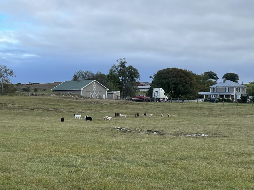
Goats
I thought about how I would handle it and told Wilma to hold my wheel and I would try to tow her to a win. We went but I never was at 100% effort and frequently backed off so she could stay with me. And I still set a PR. I think that had I had a chip today I could have gotten it. Oh well, my bad for not pushing back on the chip issue before the ride. (Note to self: Strava winner today was 1:50 which will be my target next time.)
Lunch at the finish – from Hank’s
Wilma and I continued to catch and pass riders. We made a turn and up the road about 100 meters and saw a guy pedaling. She said, “There’s my husband.” And she blew by him. Not even a glance back or slowing down to ask him how his ride was going.
Trek Travel presentation for their group
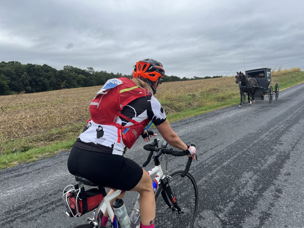
On a climb on Swope Road, I caught an Amish horse and buggy. It had caught three cyclists that I knew I would be passing. But I did not want to pass the horse and buggy. Eventually, the driver saw a place where he could pass the cyclists and I followed. The horse took off up the hill and I followed, blowing past the cyclists. I matched the speed almost as if I was drafting the buggy. I wasn’t, I swear. The kids in the buggy would wave to me and I would wave back. What fun. Probably some of my Wenger cousins (at least 7th).
Wilma and a buggy
We avoided the rain. I listened to the Whoop. I had a companion for 100% of the ride to the split (Robert) and one from the split back to the finish (Wilma). For a day of rest, it was very enjoyable. Another great Alpine Loop Gran Fondo.
Crossing the low bridge
A SPECIAL FEAT – As Robert and I rode I told him about my decision to ride the Metric Century, adding that it would give me all five routes. Early on I rode the Alpine Century Loop with its gravel. I rode the Full Century on pavement. Minus the 25-mile loop, I’ve ridden the Shenandoah Mountain adventure. In 2015 I did the Gran Fondo but opted for the 36-mile ride so I could hurry to Richmond to see the UCI World Championships. And today I would ride the Metric. Robert told me that Jeremiah Bishop had told him that no one had ridden all their routes. And so I would complete that. I also told Erin Bishop that after my ride and she found it “interesting.” (My quotes)