RESTON, VIRGINIA
It’s local. I ride on portions of it all the time so I never write about it. It is the Washington & Old Dominion Rail Trail, which runs from Arlington Co., near Shirlington, to Purcellville in Loudoun Co.
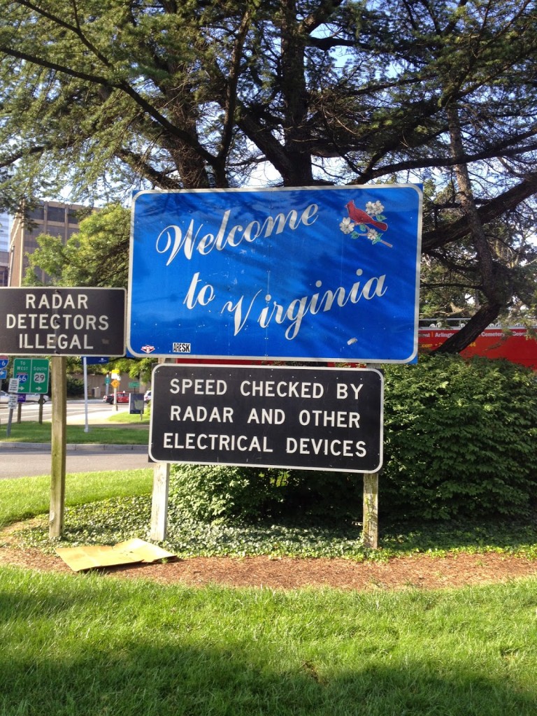 |
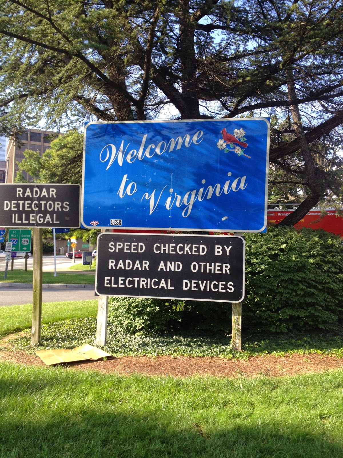
| Sign for motorists as they enter Virginia from the Key Bridge in Georgetown Sign is in Rosslyn next to the Marriott |
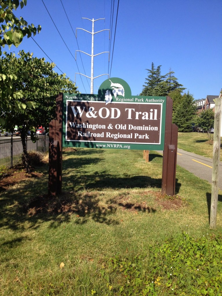
I could do it more justice by writing about its history. I won’t. But it runs 45 miles from Arlington to Purcellville, most of the way on the right of way of the old Washington & Old Dominion, or W&OD, or simply WOD (Wad).
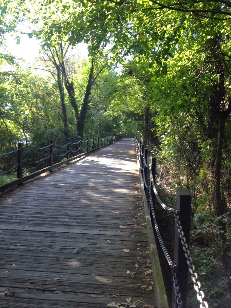 |
| Not this section but the same boardwalk on the Mount Vernon Trail I crashed on this on July 3, 2013 |
I wanted to do a double, out and back, but wasn’t sure where I would start. I also knew that a double would give me 90 miles and I might as well go for 100, it being so close and all.
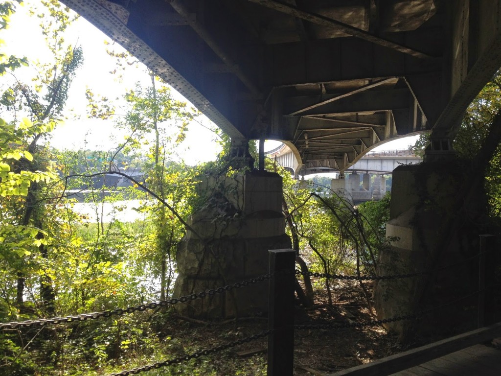 |
| Passing under the Roosevelt Bridge into D.C. Potomac River |
Ideally, I’d like to start at the terminus near Shirlington. That is the low point on the trail. And I would head west to Clarkes Gap, the high point, which is between Leesburg and Purcellville. After a turn around it would be all downhill, right?
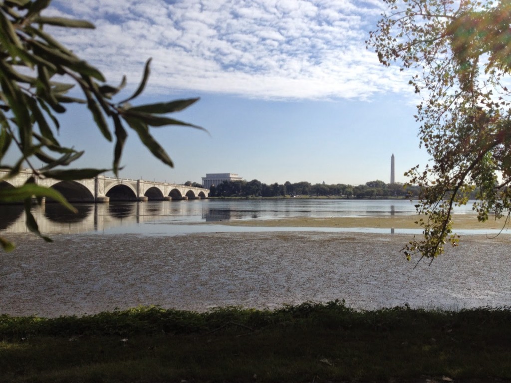 |
| Potomac River looking at Memorial Bridge across to D.C. |
Well, not exactly. But that’s the rough way to head. And for the extra 10 miles I would add the “Airport Loop” that goes by Washington Reagan National Airport. That uses the Custis and Mount Vernon trails.
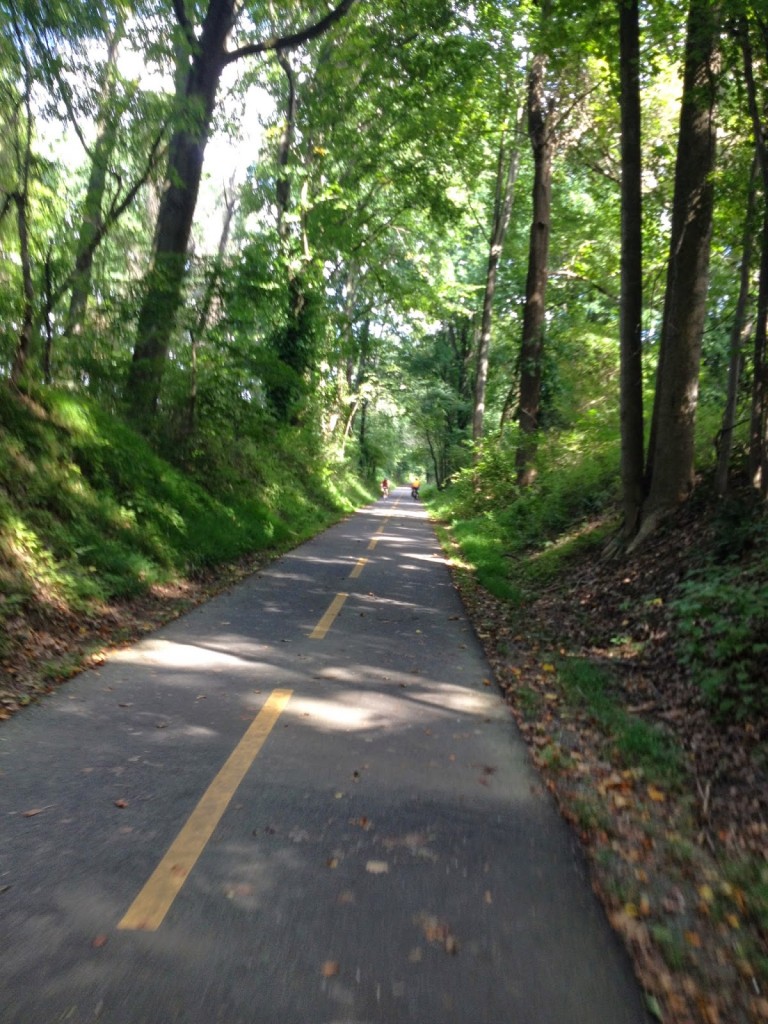 |
| W&OD between Purcellville and Hamilton |
Parking was simple near Gallows Road in Dunn Loring. I started with the Airport Loop. At MP 9, I headed east and picked up the Custis Trail which goes along I-66 into Rosslyn. From there I connected to the Mount Vernon Trail which runs past the airport.
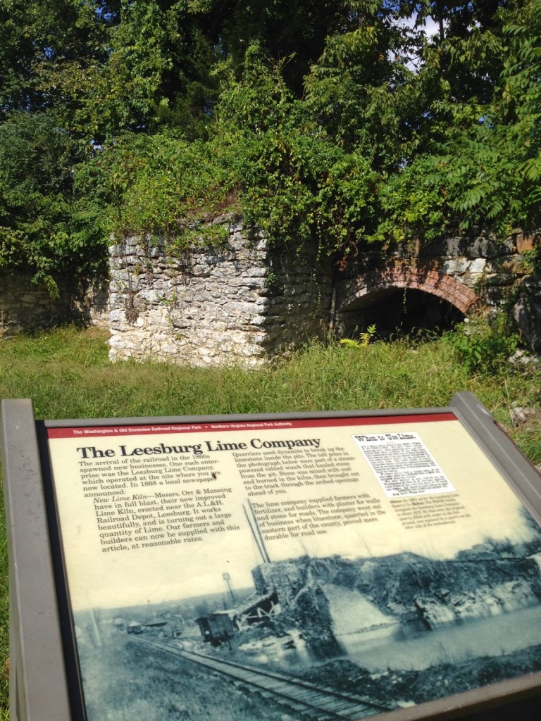 |
| Lime Kilns in Leesburg |
I was thinking of taking pictures along the way. It was at the end of the Custis Trail or the beginning of the Mount Vernon Trail where I crashed five years ago and broke my wrist and discovered cancer. Then, no more than 1/2 mile further, on the boardwalk was where I crashed July 3 last year and broke my collarbone. This route has not been good to me.
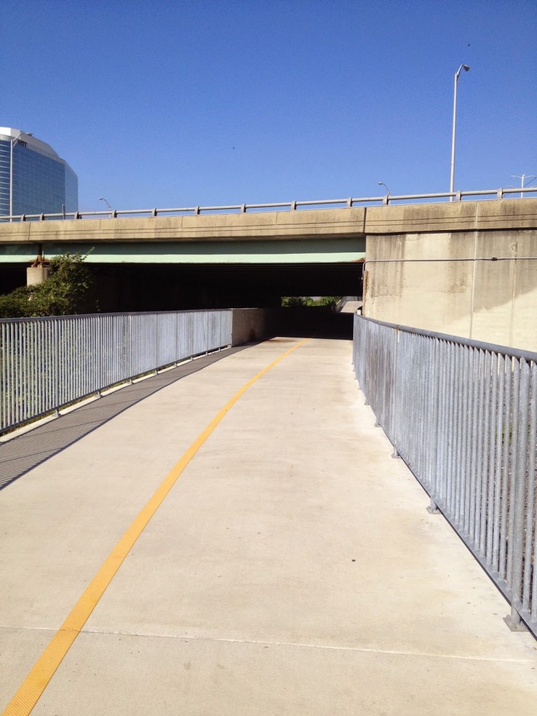 |
| Four Mile Run Trail under I-395 Shirley Highway |
The Mount Vernon Trail connects to the Four Mile Run Trail which connects to the beginning/end of the W&OD. Then the first eight miles are uphill. A gradual uphill, mostly, except where a railroad grade is not possible and the trail moves onto or next to a street.
 |
| Start/Finish at Shirlington |
From Gallows Road through Vienna, Reston, Herndon, out past Dulles through Ashburn to Lessburg, the trail is mostly flat. There are sections of 1-2% grade, either uphill or downhill, in both directions, but I wouldn’t call one direction harder than the other.
 |
| Bridge on W&OD over Rte 7 in Falls Church |
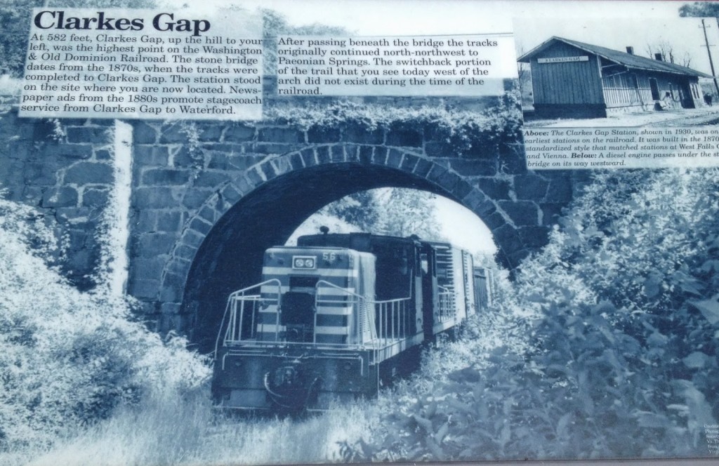
At Leesburg the trail climbs up to Clarkes Gap, through a heavily wooded section which is arguably the nicest on the trail. At Clarkes Gap it goes through Hamilton to Purcellville which is the turnaround point.
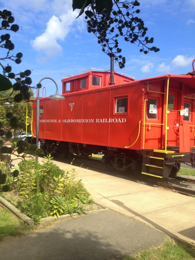 |
| Caboose in Vienna |
That is it. I started at MP 9 and did a loop which made it 26 miles. Purcellville was 63 miles and from there it was another 35 miles or so back to the car. I diverted, both ways, to The Bike Lane, at Reston Town Center to say hello to the guys and fill my bottles with water.
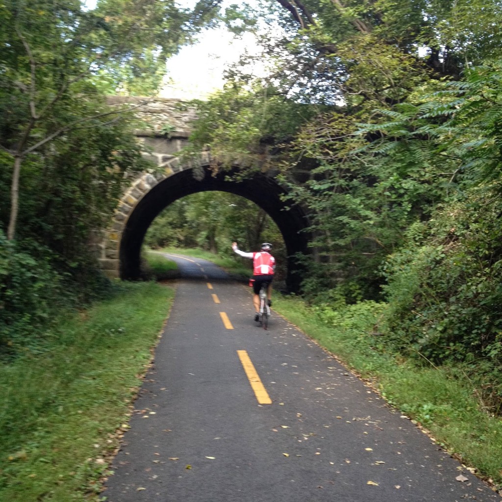 |
| Stone Bridge at Clarkes Gap |
The W&OD is traffic-free but there are also many intersections with stop signs or even traffic lights (usually very long lights). But if one wants 100 miles on a bike and no traffic – this is it. You are never far from a bike shop or restaurant. In fact, I forgot my saddle bag with tubes and CO2 and never ever worried about it – confident that other riders could help me if need me (I did carry an extra tube so I wasn’t a complete jerk).
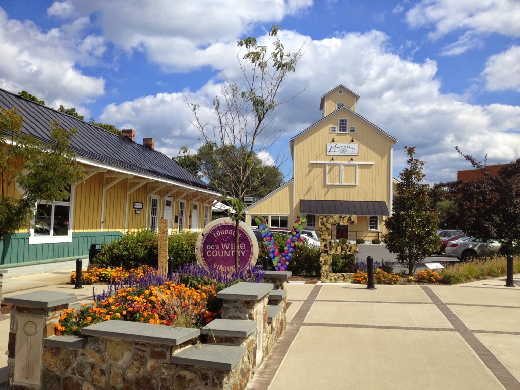 |
| Purcellville, Va. |