ORLANDO, FLORIDA
My travels took me to Orlando and I was looking for a ride. I found the Florida Freewheelers Bike Club that also sponsors the Horrible Hundred each November. They had a ride posted for today called the Flying Fox Airport Loop.
I am not a member of their club so their public site may be different than their private site. I could see a ride map but not a GPX file that I could upload to my bike computer.
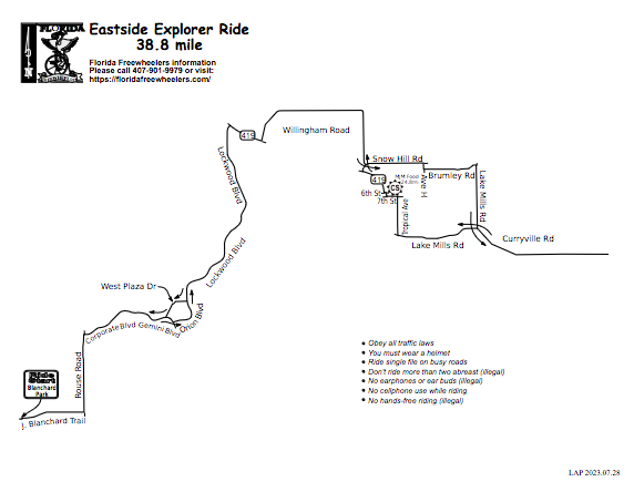
I emailed the ride leader and asked for a GPX file. He sent me a file but it was only 5k in size. It was a data point – the ride start. I went to the ride map and drew the route in RideWithGPS. I wasn’t 100% sure but I think I got it.
I arrived at the park at 7:30 a.m. for an 8:00 a.m. ride. At 7:45 I didn’t see any other cars. I have a feeling I was in the wrong part of the park. I decided to roll out ahead and figured I would be swept up by the group.
South Goldenrod Road
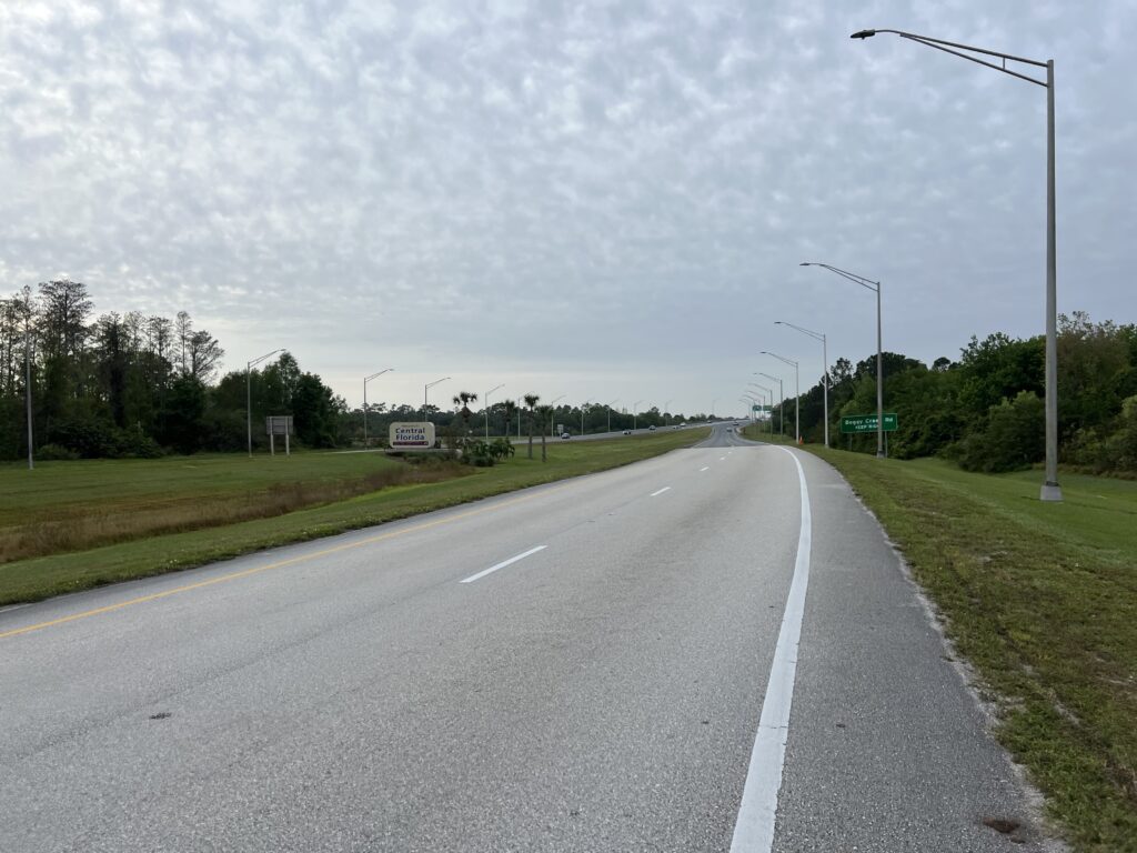
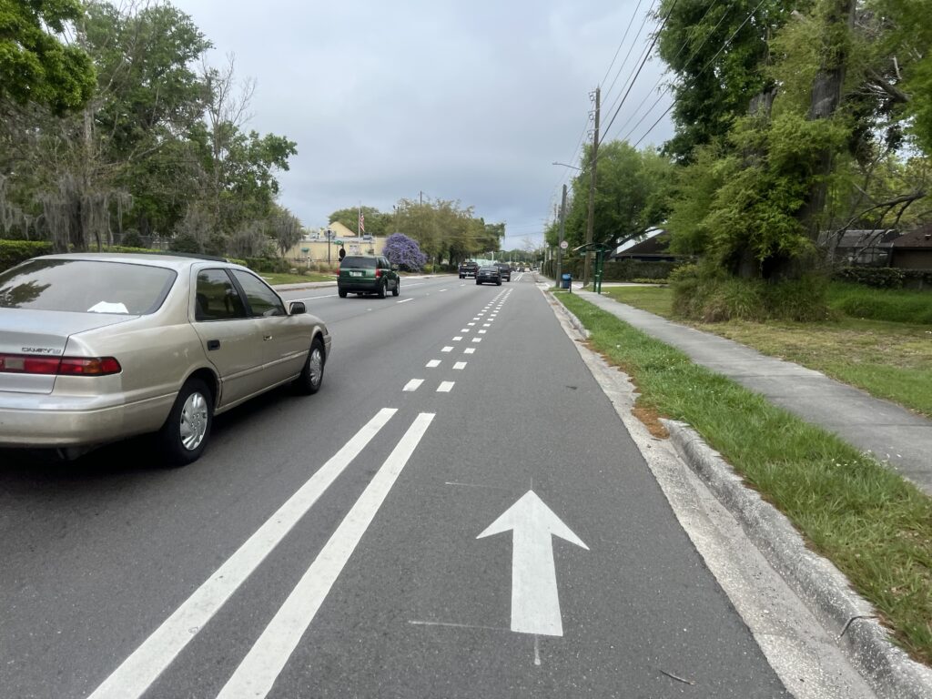
It was a mixed road route. It is not for everyone. The residential streets were fine but there were some highway segments. And I was buzzed three times today. The first time a car passed by within an arm’s length. I thought the driver was careless. The second time I thought it was deliberate. And the third time I know it was deliberate. There seems to be an attitude that cyclists don’t belong on the roads and the drivers will punish you. I am also always aware that Florida has more cycling deaths per capita than any other state.
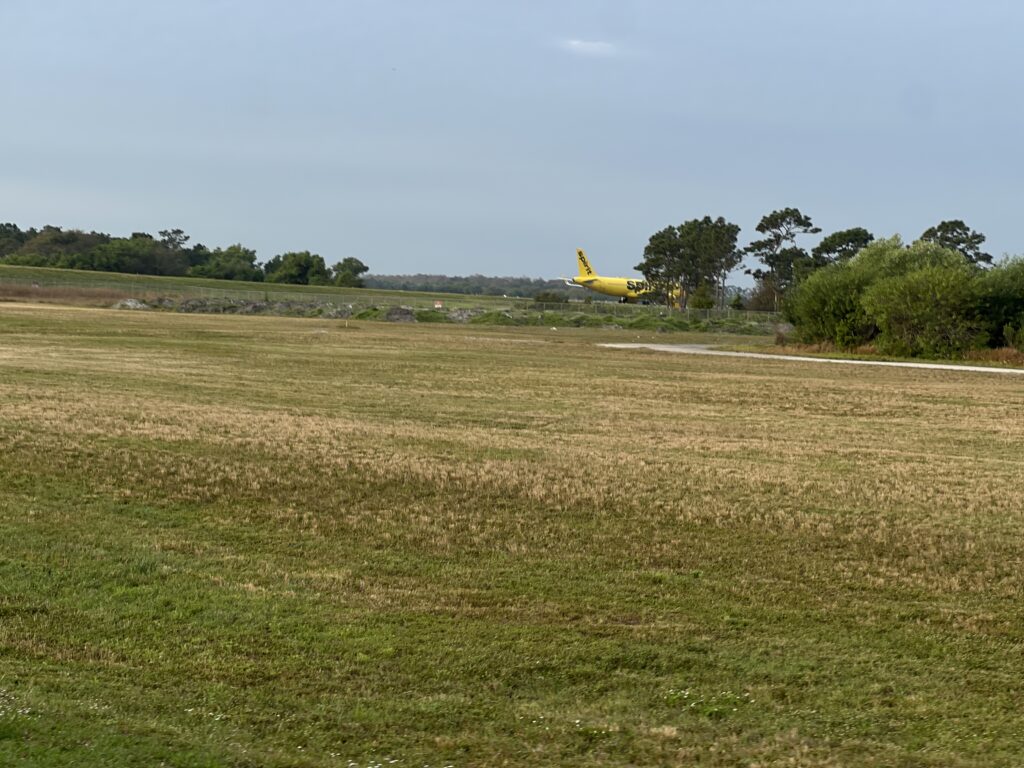
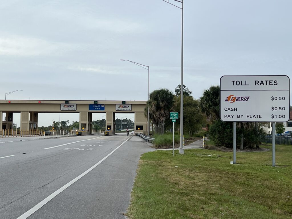
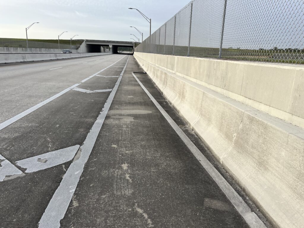
The route passed by the Orlando Executive Airport and then the Orlando International Airport. At one location the route went on a toll road but there was a Bike Route sign to take cyclists past the toll booth.
On some shoulders, the roads were marked with a white line directing cyclists away from the drain grates. Very nice safety feature.
Heinztelman Blvd by Orlando Int’l Airport
It was cloudy but humid. My legs felt good although I was coming off a poor recovery (19%). I had thought about trying hard to find the group but then wondered if I would have the legs to stay with them. Catching me was a better option although they never did. I was riding well enough but at two miles per hour faster they must have been close.
I love finding routes, downloading them to my Wahoo, and following them. So I was able to do that today. I didn’t meet any new people but that was okay too. Thanks for the ride!