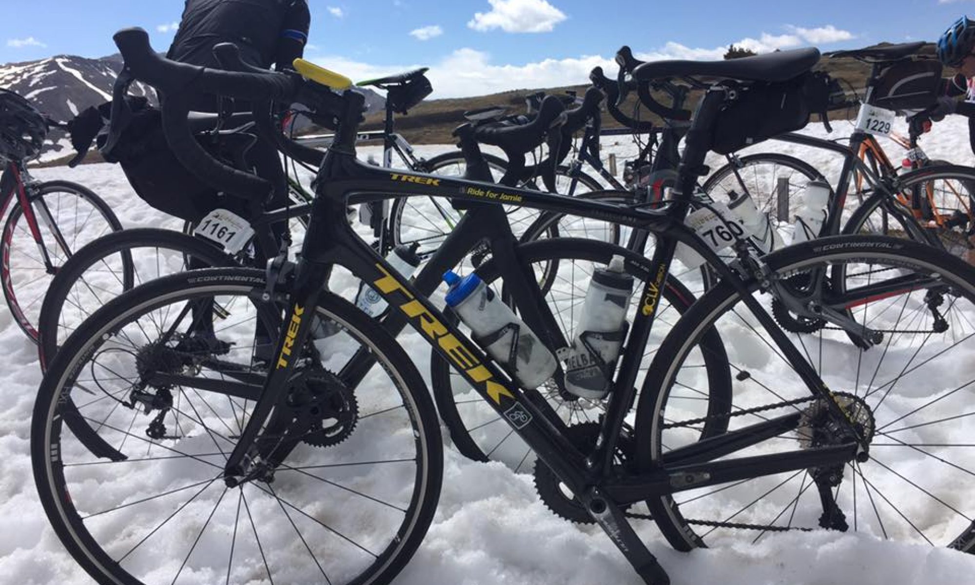
In 2007 I rented a bike in Idaho Springs and slogged up the 28 miles to the summit of Mt. Evans. By my calculation that gained 6600′ over 28 miles or 4.5%. Today’s ride gained 5800′ over 20 miles or 5.5%. It was hot, it reached 91 degrees and my Trek Domane is not built for climbing.
Leaving Grand Junction
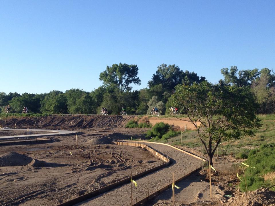
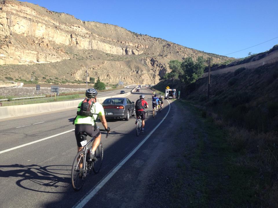
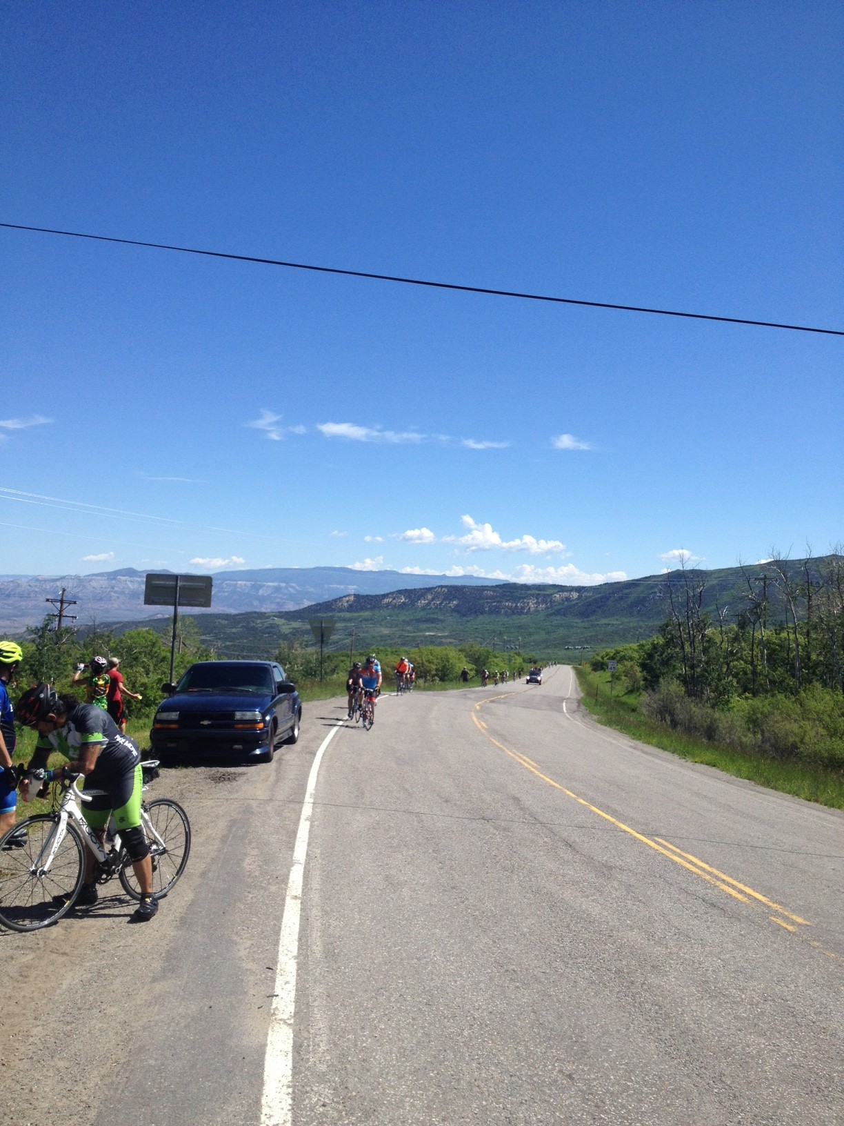
The day began riding down to downtown Grand Junction then joining the Ride the Rockies route. We rode along their new River Trail alongside the Colorado River until we were forced to ride on the road. And by on the road I mean a five-mile stretch of Interstate 70.
Interstate-70 just east of Paradise
We were confined to the shoulder separated from traffic by cones. Yet for the impatient I saw a father being trailed by his probably 12 year-old son jump in the traffic lane of I-70. Brilliant! This guy should be nominated for Dad of the Year. He could have taught his son patience, respect for the law, but most of all, respect for life without making risky decisions.
There were a number of pace lines that formed and I occasionally jumped in one. But when I’m carefully watching the wheel in front of me I’m missing some of the scenery.
Right before Mesa the road turned up. This was the start of the 20 mile climb. It was tough. I cursed my decision to bring the Domane. I can’t get as low gearing on it as I can on my Trek Pilot.
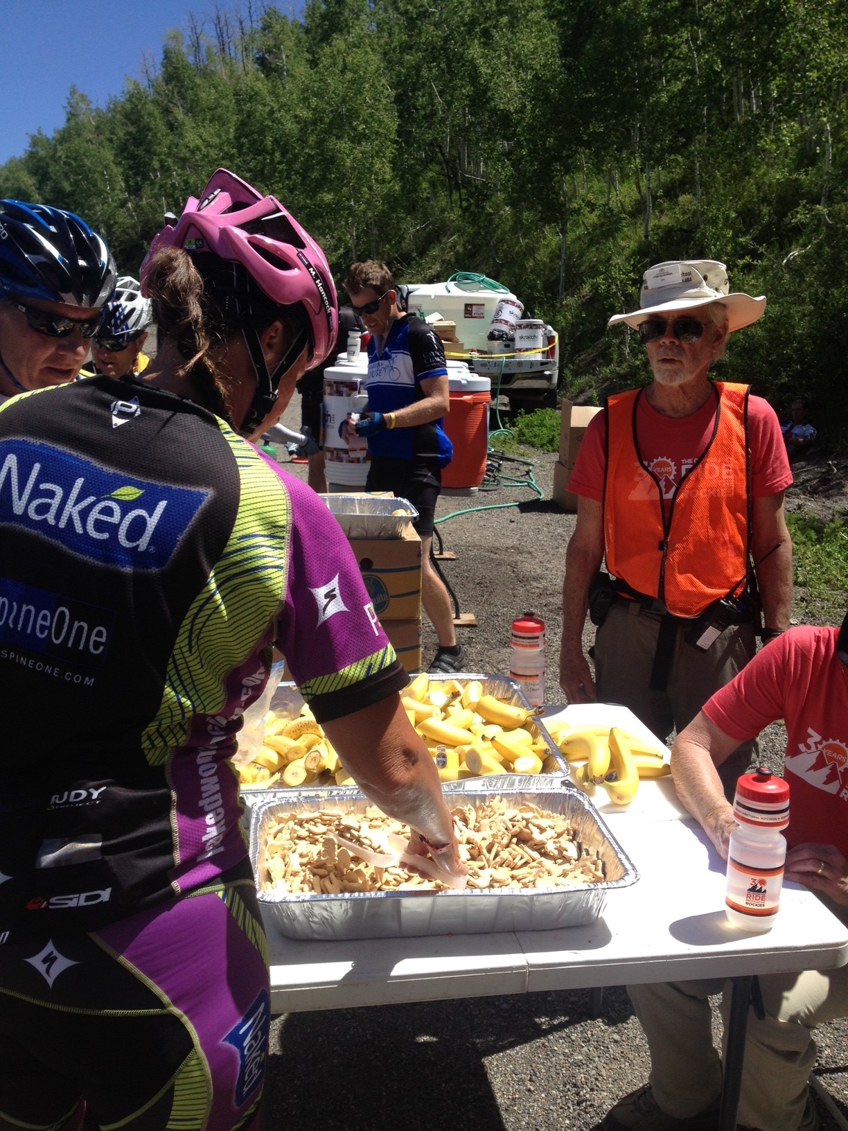
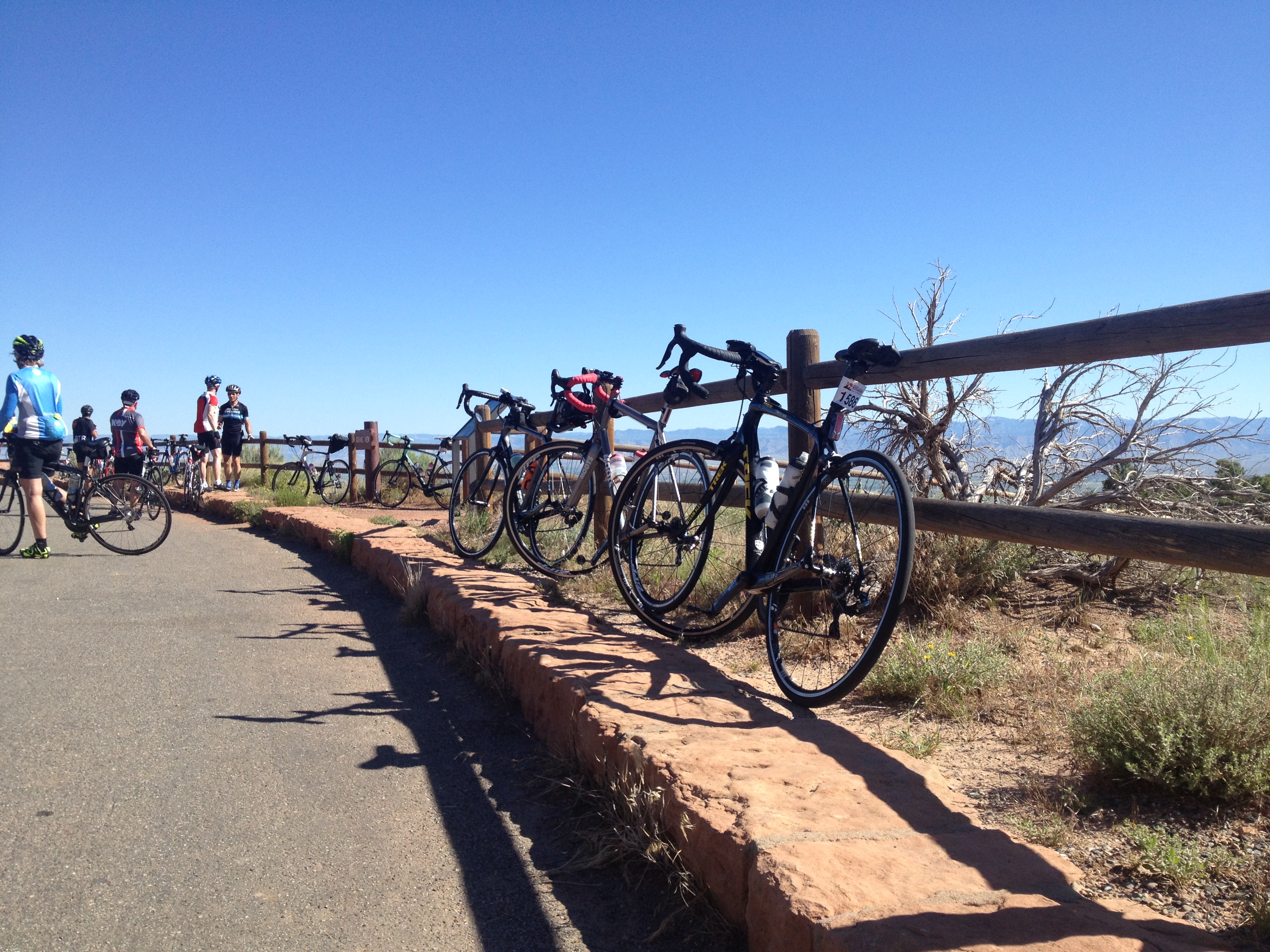
Aid Station
The entire time up the climb I kept looking for another gear. It wasn’t there. It really was a slog.
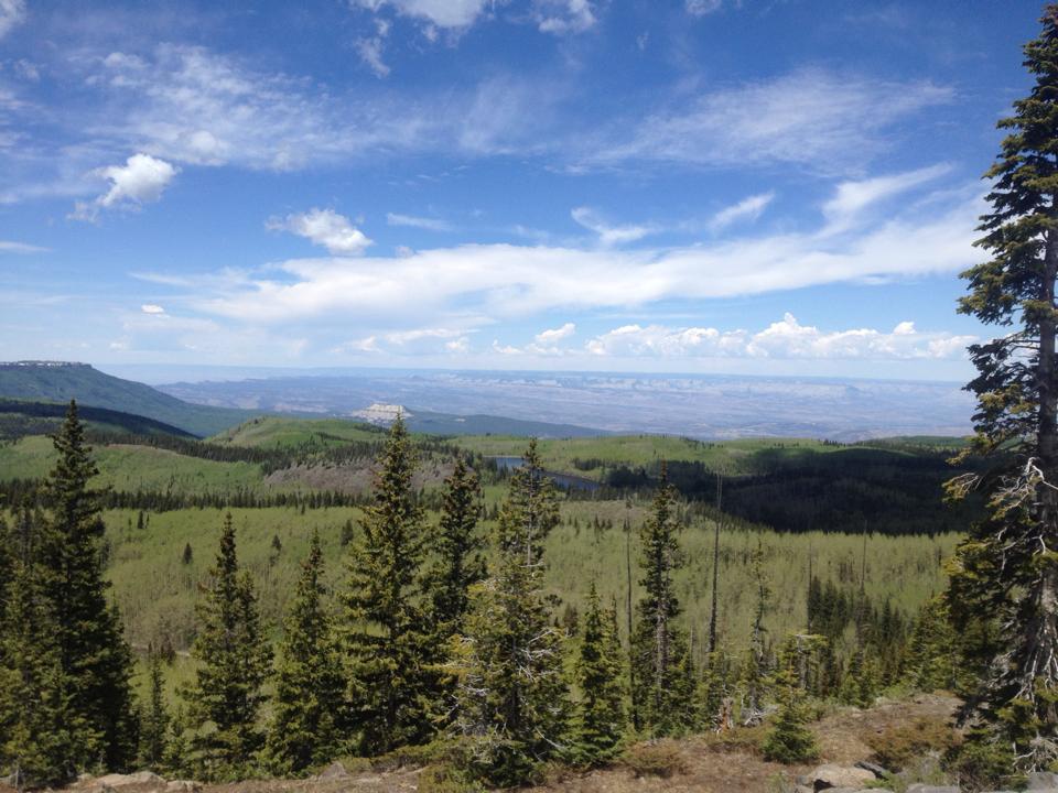
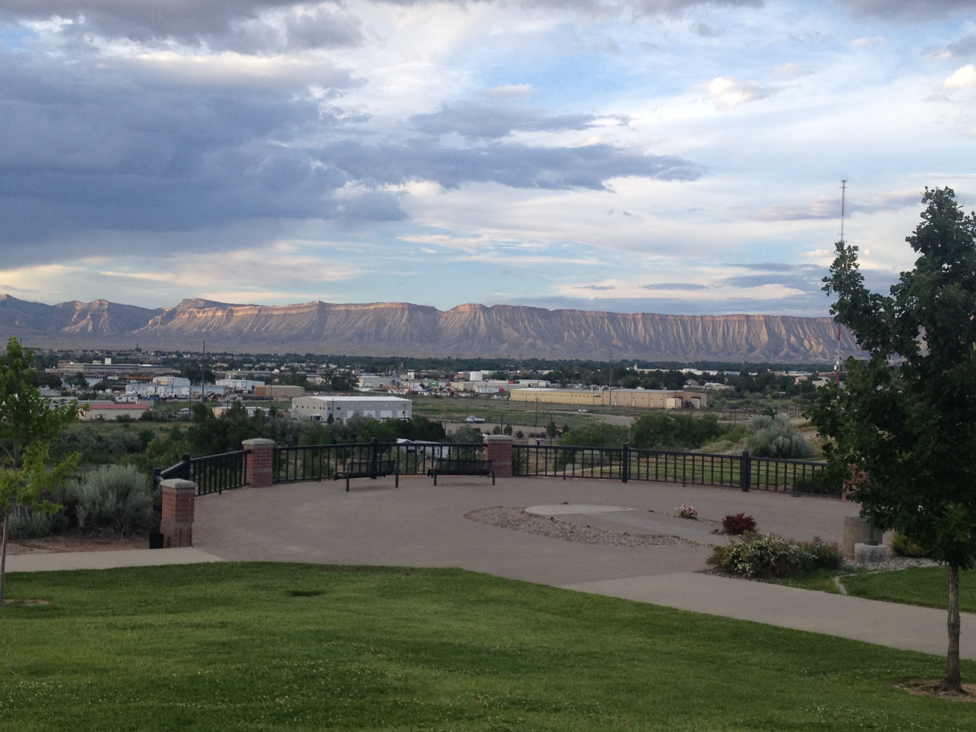
Looking back from Powderhorn Mountain Resort
We had already ridden 36 miles, I may have had 40 at that point, when we reached Mesa. There the climb began. It was one pedal after another and not much more. I stopped, without guilt, at the aid station at 11 miles up just to get more water. I drank nine bottles on the day.
Grand Mesa
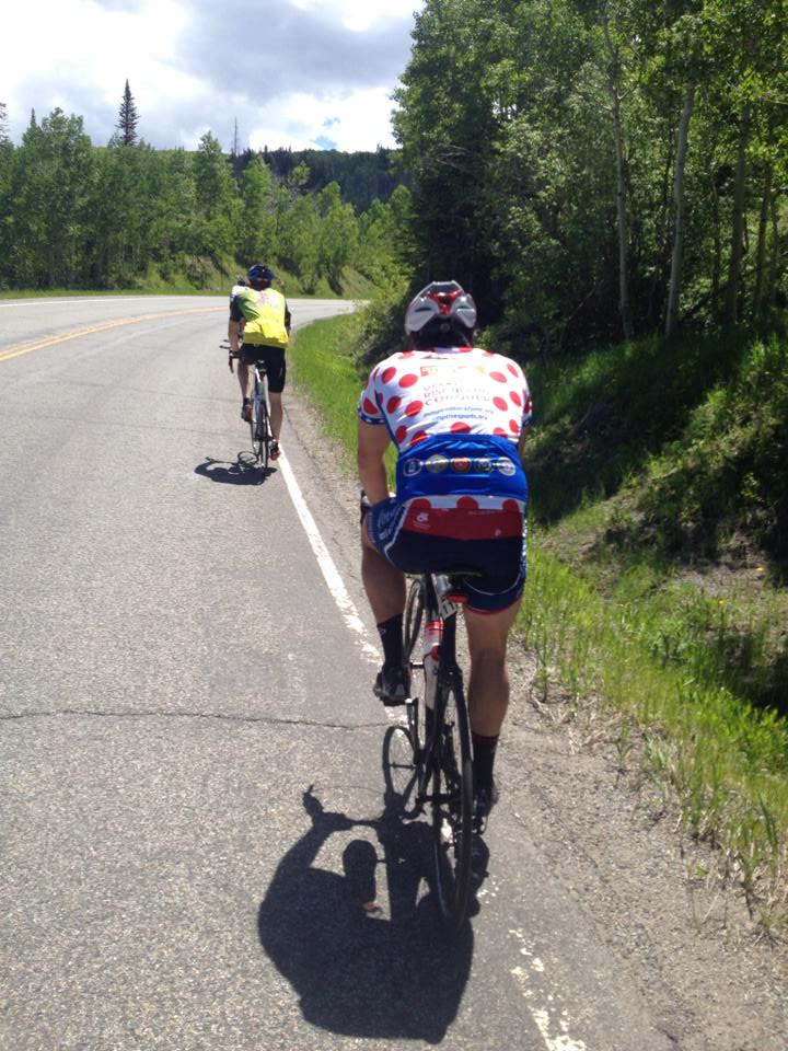
On the climb I passed a few people but I was passed by many more than passed me. One that I did pass was a mother and her son, probably in his late teens, on a tandem. He appeared to have Down Syndrome. Wow. What an inspiration.
Polka-dot jersey. I passed him.
Even as I reached the top of the Grand Mesa it still had some rollers to tease me with before beginning a 20 mile downhill to Cedaredge. I bombed the descent passing many and not being passed by anyone. Maybe I didn’t enjoy it enough. But I enjoyed it by going fast. I averaged 32 mph for more than 19 miles.
At the rest stop I met Dave, from yesterday, and his friend Jamie. I started to offer Dave a free rooming package since my roommate could not make the trip. But there were two of them, “a team,” Dave explained. They headed off for the last 20+ miles to Hotchkiss.
I left Cedaredge and started climbing again. “What was that?” my legs screamed out. Once over that first climb the route trended downhill with some flat sections. I caught Jamie and asked him what about being a team. Dave had left him. I rode with the big guy for a while before taking off myself.
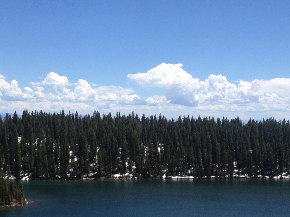
Island Lake
Arriving Hotchkiss, many in the town came out to greet the riders. I had ridden 99 miles.
I turned around and went looking for food. I found Subway, which was probably the nicest building in town. I finished the ride, left the bike in the bike corral and boarded a bus to Montrose, the lodging location for this night.
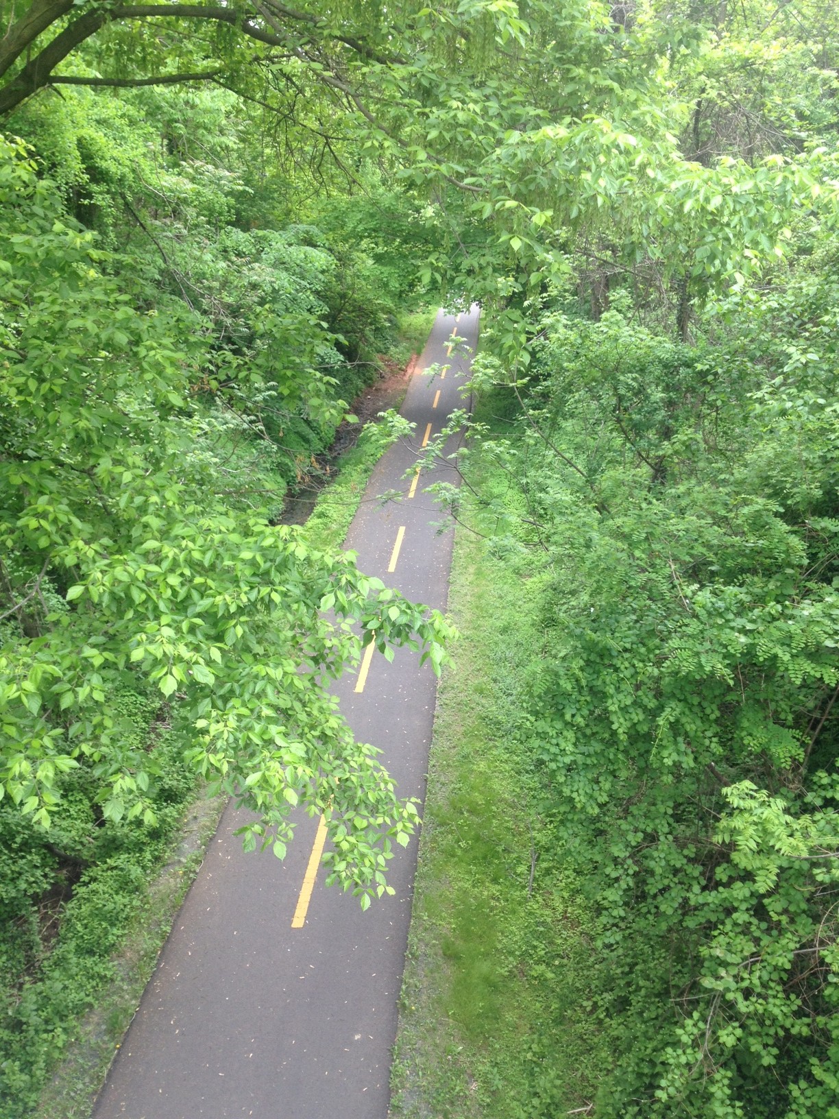
I rolled away from the hotel and towards downtown. Horizon Drive was torn up as a milling and paving operation was going on. I rode this yesterday and knew of a great bike path that went a little out of the way. I jumped on it and wondered what the other cyclists thought of me flying past them all without trashing my bike.
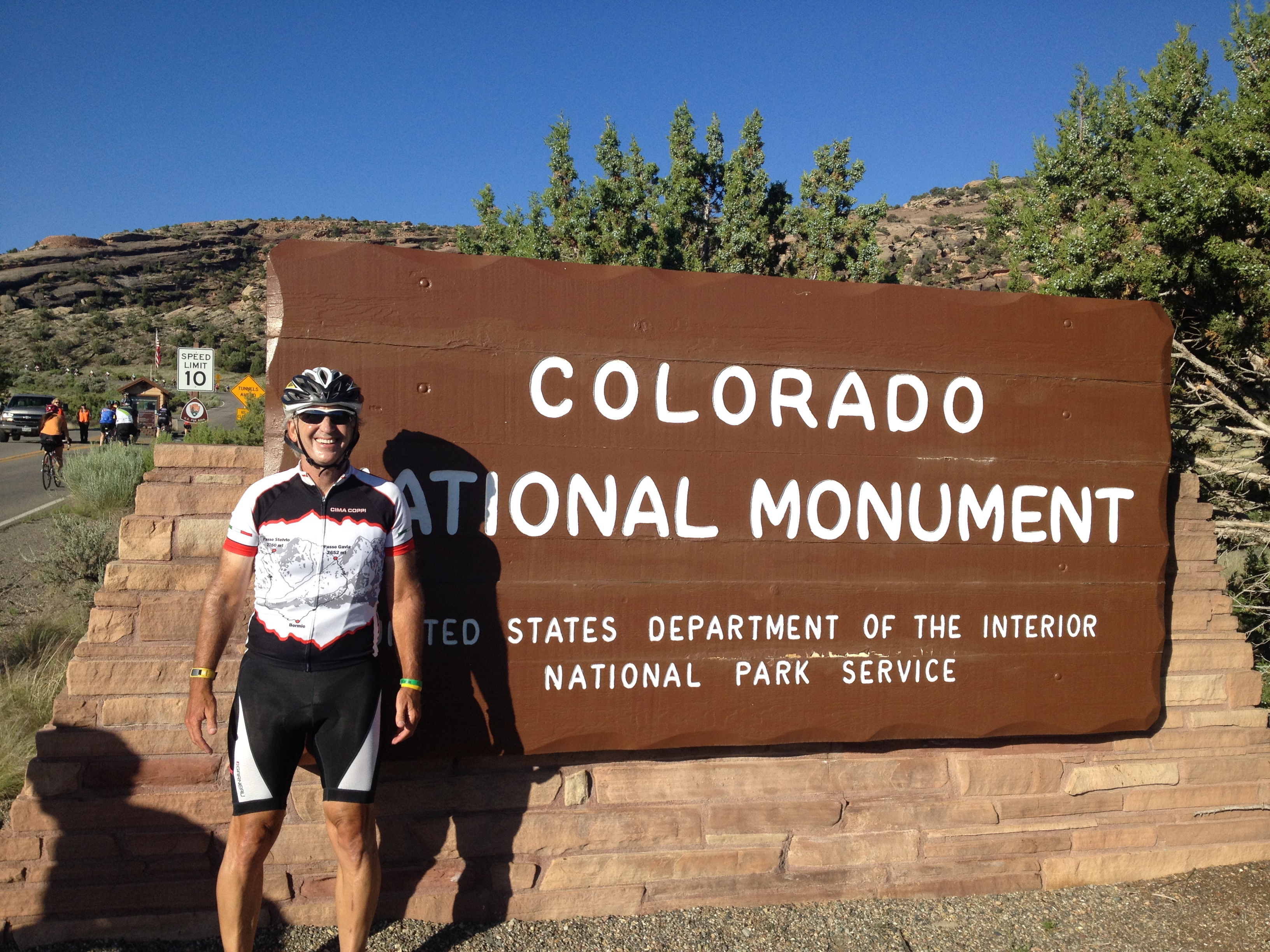
Colorado National Monument Reminder to get rid of those hideous bib shorts
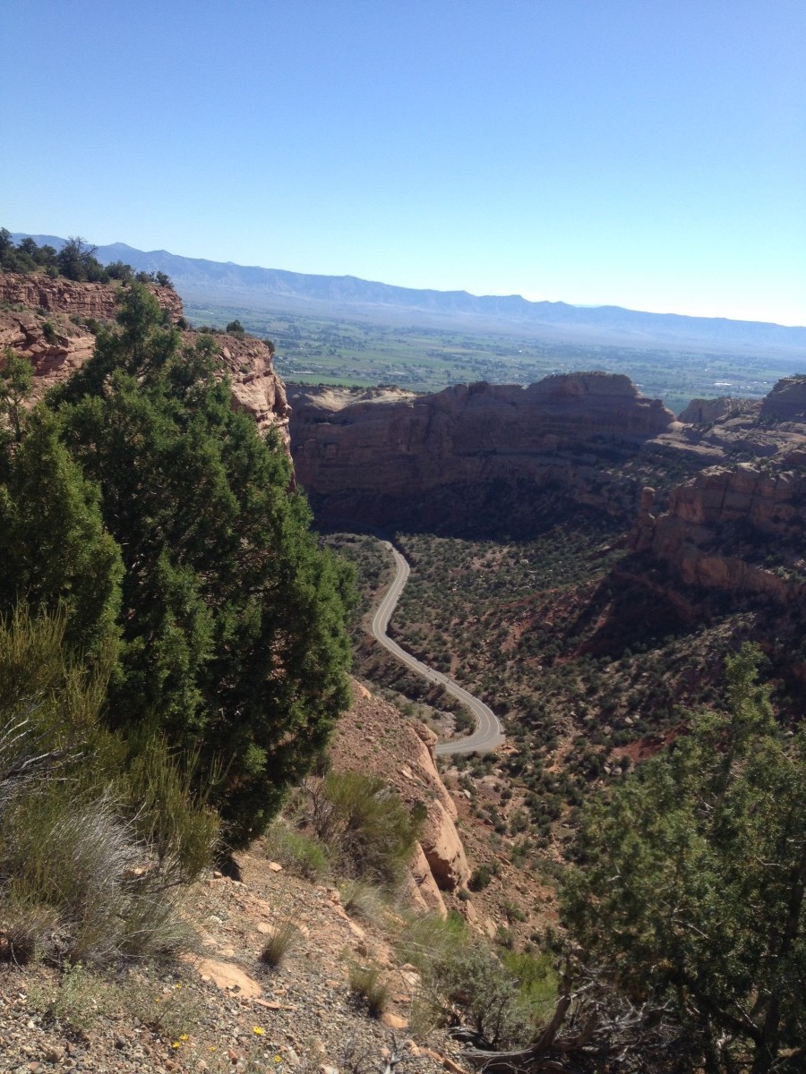
I arrived at the main location at Colorado Mesa University planning to attend Opening Ceremonies for Ride the Rockies. But riders were already rolling out so I joined them. We rolled out of town to Colorado National Monument. I started the climb only stopping for a (real) photo op or two.
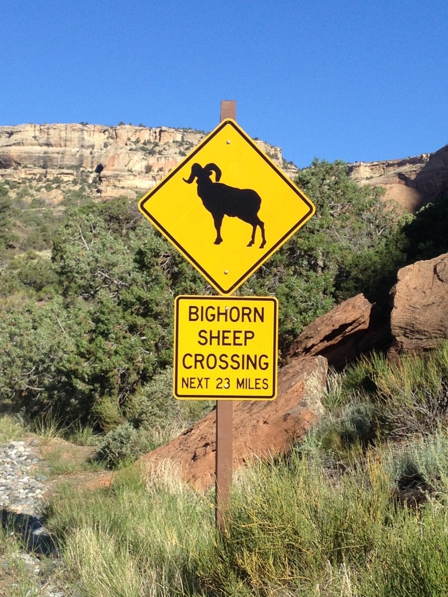
Bighorn Sheep Crossing
I found myself riding beside Dave*, an anesthesiologist from Grand Junction. He was very friendly and a good rider. He spoke to me because I was wearing my Stelvio jersey. He had gone to Italy last summer. We also talked about prostate cancer. His older brother had PCa and chose brachytherapy as his treatment option. Things weren’t perfect with his choice. It seemed every treatment option for prostate cancer had some problems.
Dr. Dave was a medic for the tour. By volunteering, he got to ride for free but he also had to carry some extra weight. I asked him as an anesthesiologist how he would treat a ride that had crashed hard. He told me that he was prepared to put him to sleep. 🙂
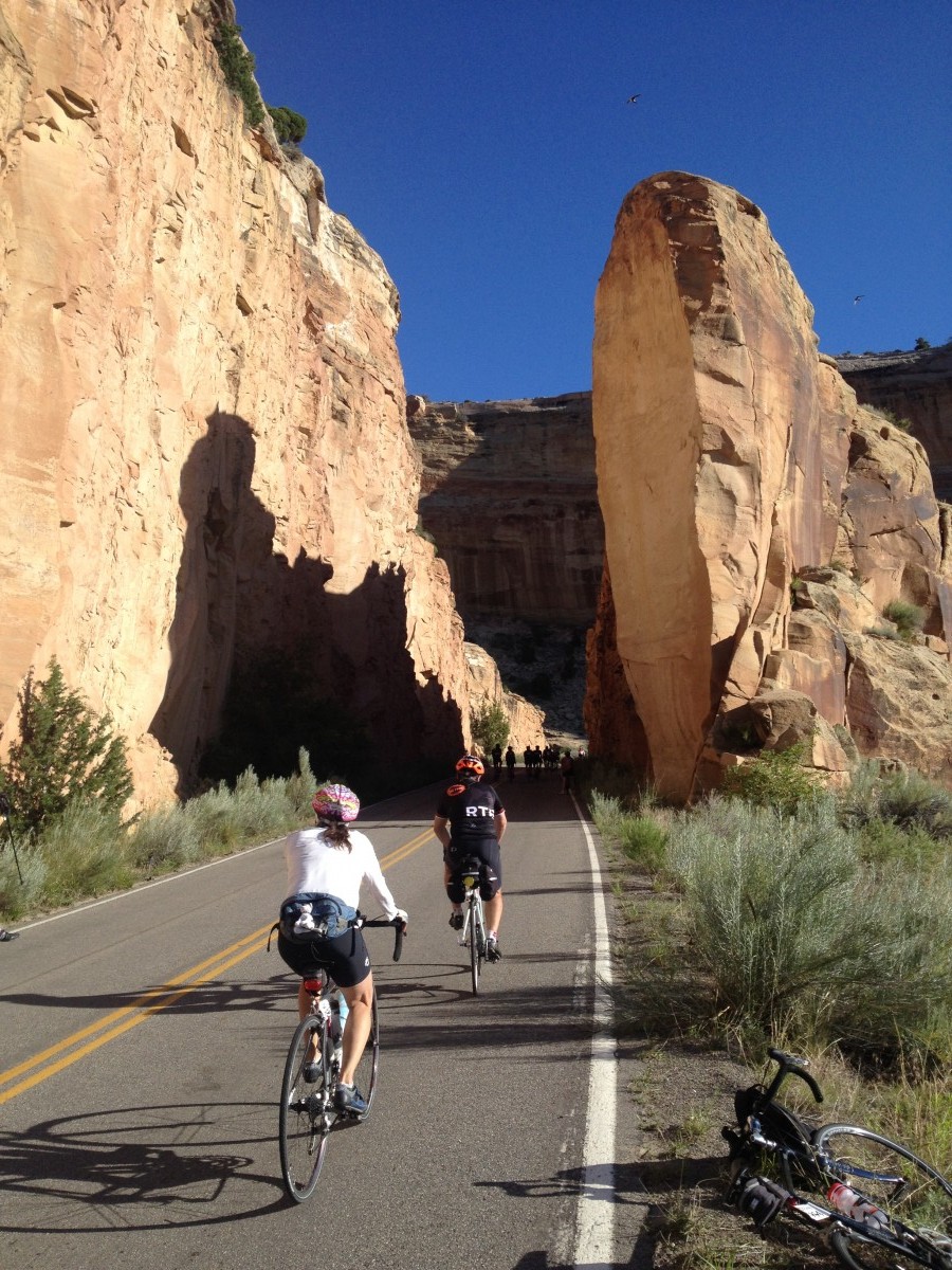
On the descent, I pulled over for more pictures. What gorgeous views.
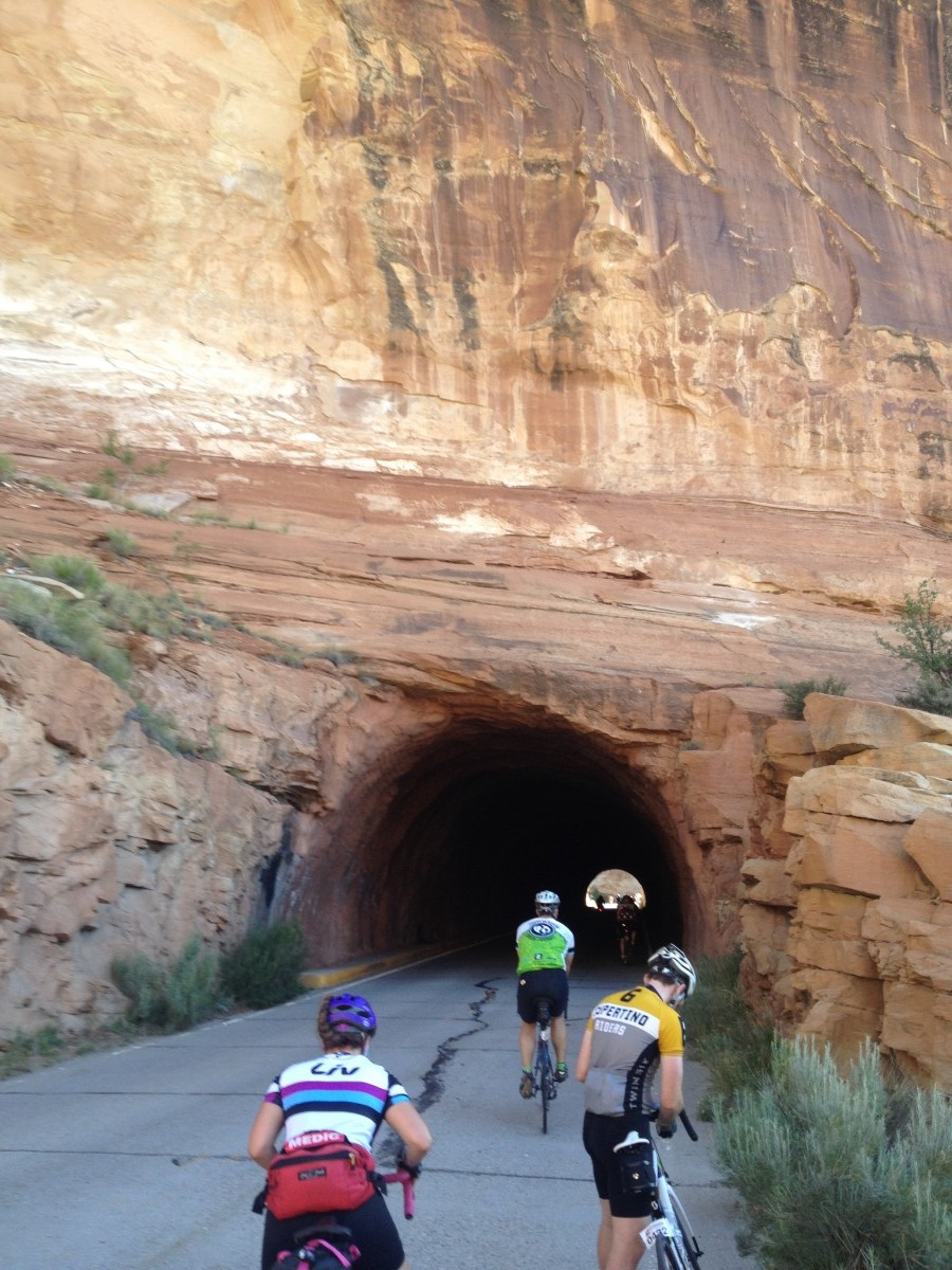
Tunnel
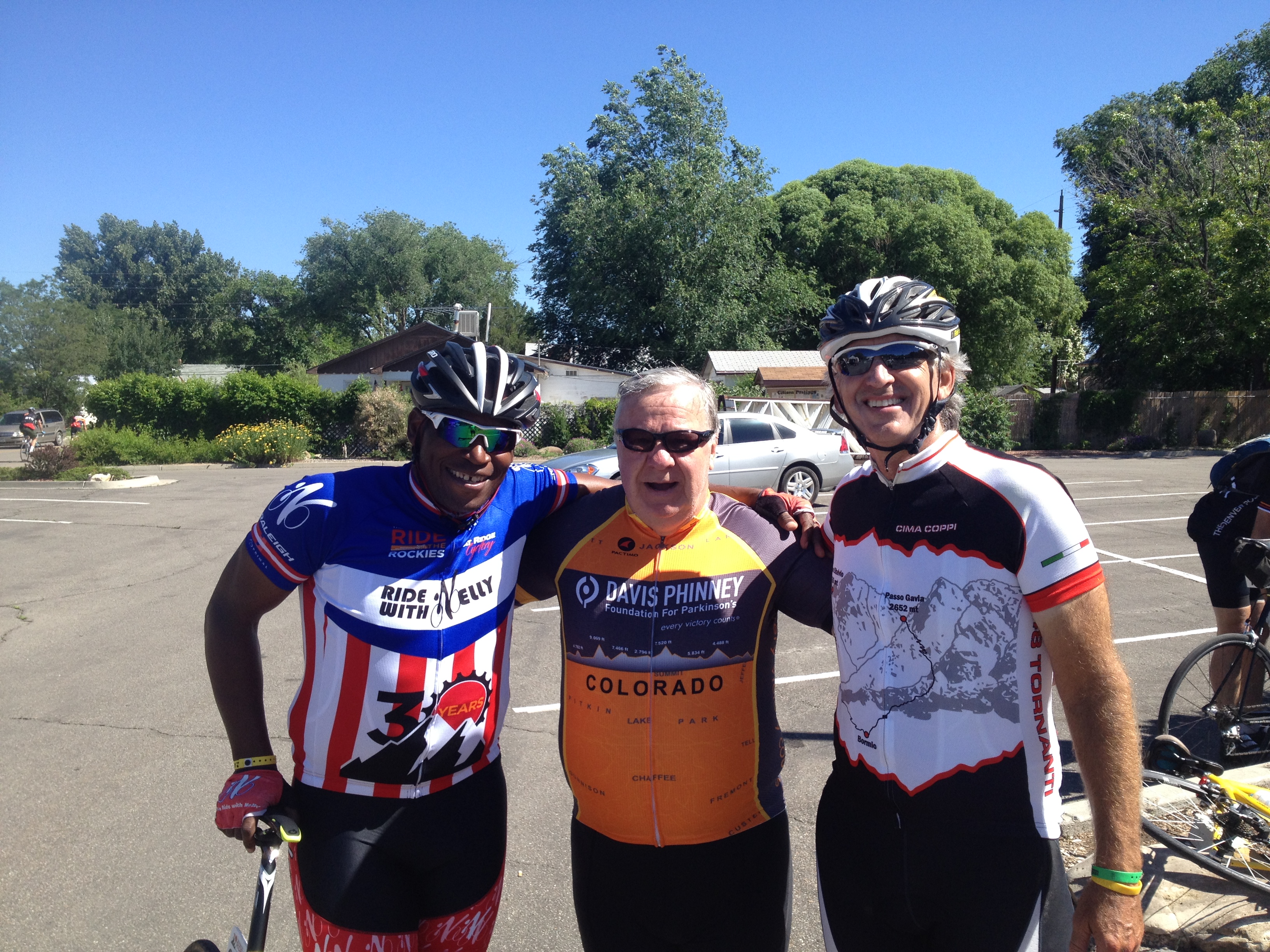
Down in the valley I rolled to the rest stop at Fruita. Here I ran into Don Sheppard, who was on my Trek Travel trip last summer in Italy. It was good to see him plus he introduced me to Nelson Vails, a silver medalist in the 1984 Olympics.
On the climb from Grand Junction
It was a flat roll back to Grand Junction. I caught Don and then paced him for a while. He eventually said he was going to take a break and we parted ways. It would be the only time all week I saw him on his bike.
Pulled off on the descent towards Fruita
Riding today was easy and beautiful. Not sure if I figured this out yet but I think RTR tries to choose the easier route when possible. We went clockwise and the Park Service had closed off vehicular traffic from 7:00 to 10:30 am.
Nelson Vails, Don Sheppard, Barry Sherry
As I descended to Fruita I thought that was a steeper grade than we had come up. But I am not sure. Often you don’t realize the steepness until you look back on your ride. And even then, I couldn’t tell.
That was a long day. Alarm went off at 3:45 and I proudly resisted the urge to ask for 10 more. At 4:15 a.m. I met Dave Fitzgerald who agreed to drive me to the airport.
At DFW
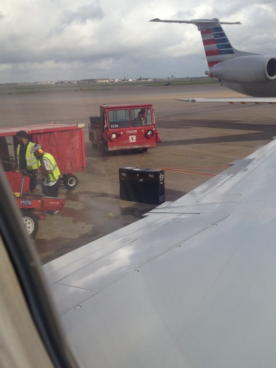
The flight left DCA at 5:50 and arrived DFW at 8:20 which was the boarding time for my flight to Grand Junction. I scurried over to Terminal B and made my flight. I didn’t think my bike would.
Looking at Colorado National Monument from Airport
But after I settled into my seat I saw the bike sitting on the Tarmac. And it made it.
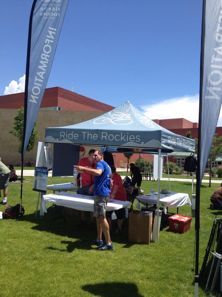
Information Stand for Ride the Rockies
The check-in day for Ride the Rockies can be a little intimidating. My last schedule change had me flying into Grand Junction and staying at the Clarion Inn. I called the hotel and they sent a shuttle for me and my bike.
I assembled the bike and had a panic attack as I could not get the rear dérailleur to shift. I thought I could ride it to the main campus and have a bike mechanic look at it. Out in the parking lot I realized it worked. In the room I had been shifting down and it was already on the lowest cog – duh!
Bike path on Horizon Drive
The shuttle driver at Clarion Inn took my bike and me and my empty bike box to the campus at Colorado Mesa University. I offloaded the box then biked back to the hotel.
In the afternoon I went exploring. I went to the mall in town, after being told the only way there was one exit on I-70. It’s amazing how people only view transportation through a dashboard.
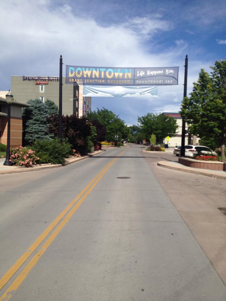
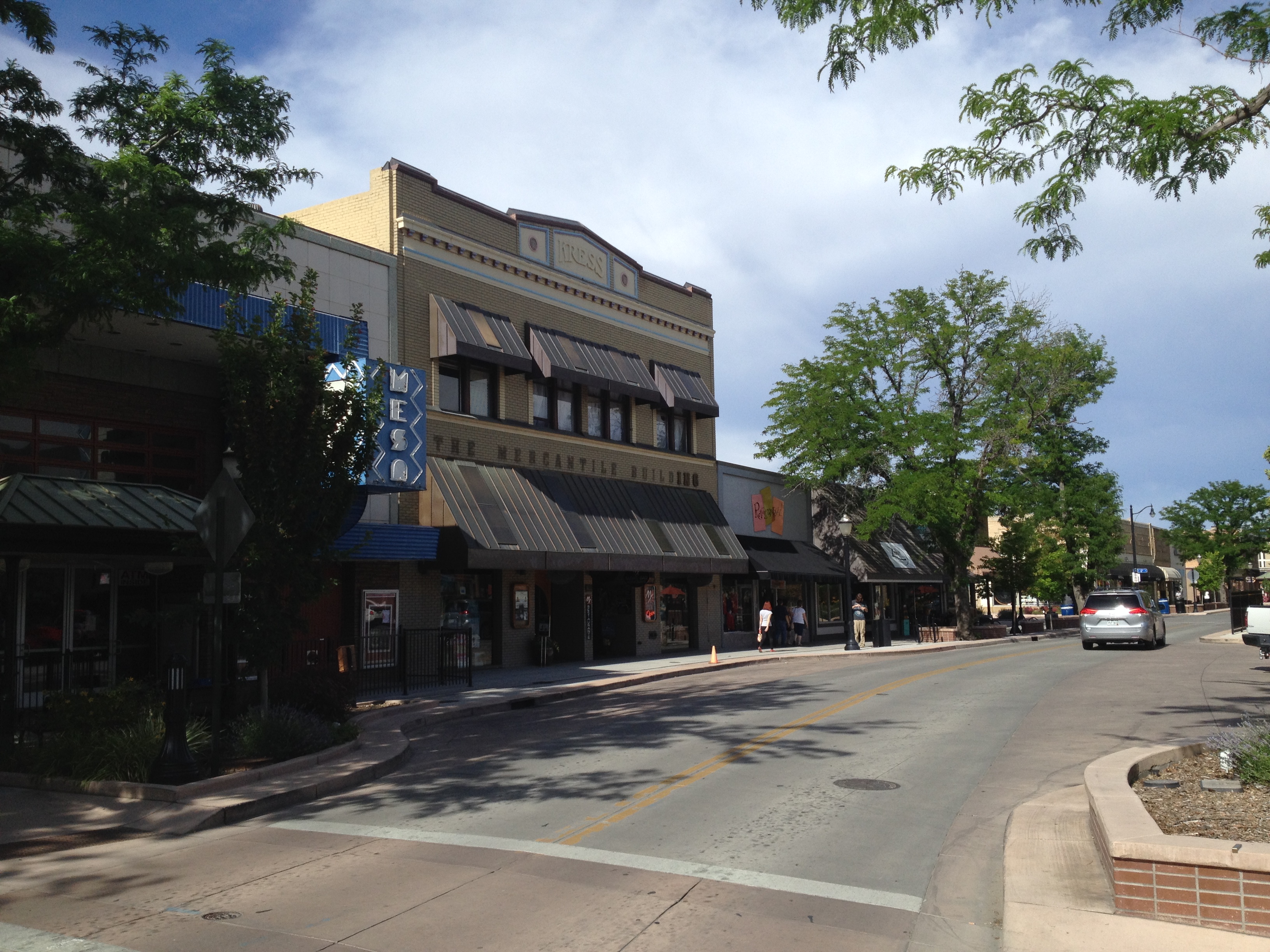
Downtown Grand Junction
I found the downtown. It is very nice. Lots of statues or sculptures too.
Downtown
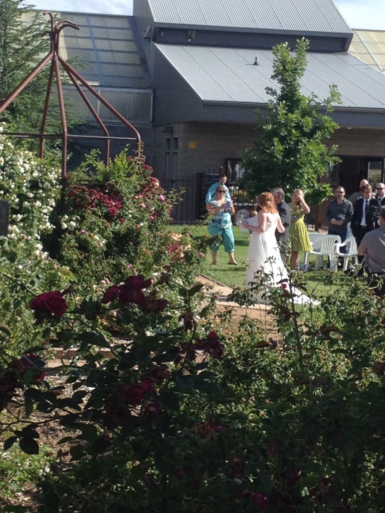
I found my way down to the river trail but stopped as I saw a wedding in the botanical gardens. I wonder if they noticed me?
Wedding
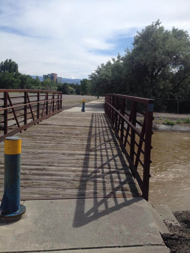
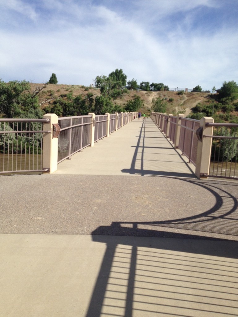
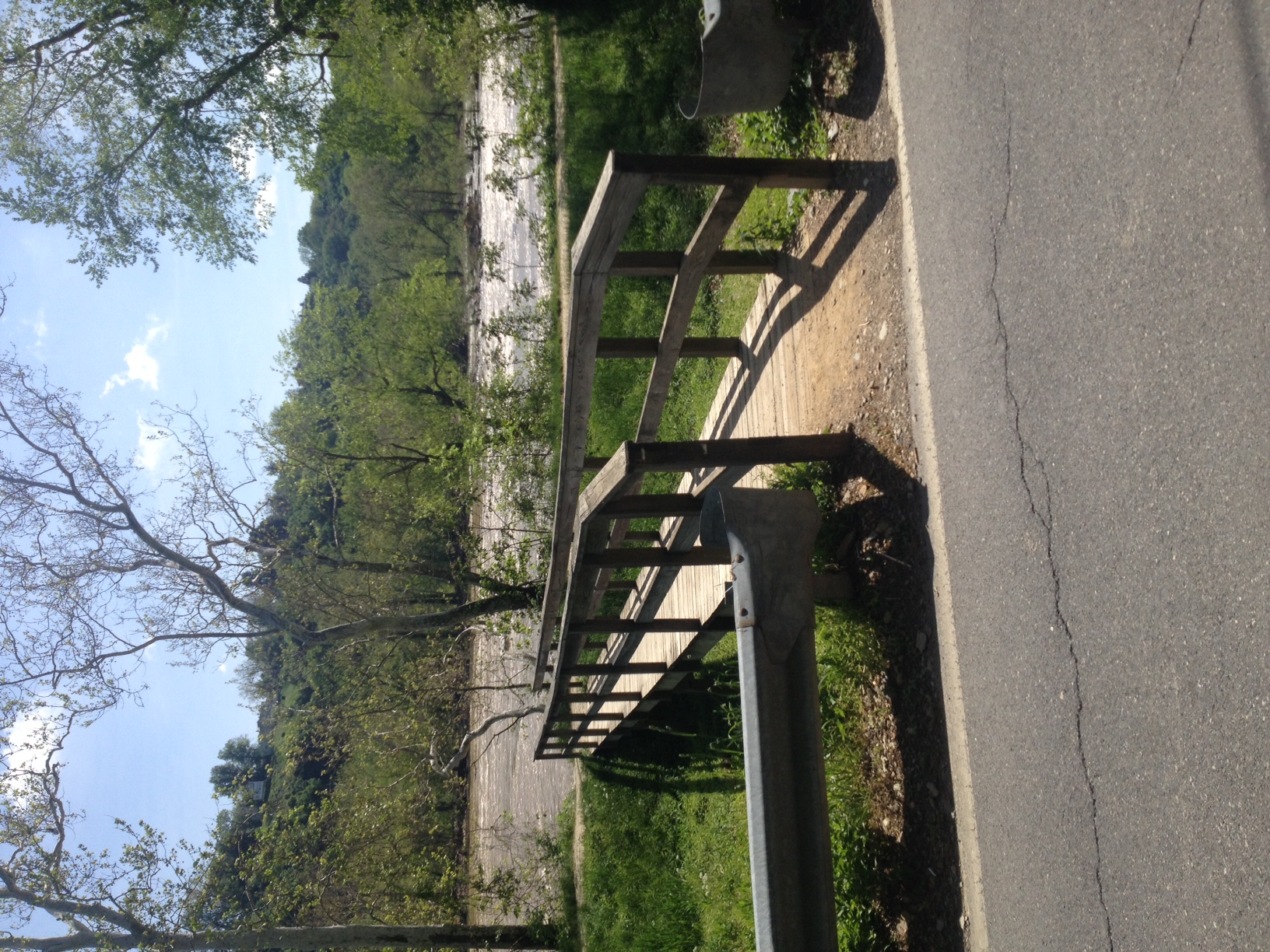
I followed a river trail next to the Colorado River until I found the trail bridge across the river. Once on the other side I visited my second cousin, Linda Shaver, and her family. We had never met before today.
Crossing the Colorado River
I explored a little more of the city on the way back to the hotel. It was a long day and Ride the Rockies start tomorrow.
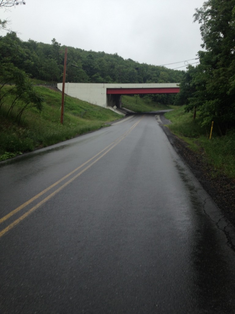
I was visiting my parents and hoping to get in a nice ride but the weather was anything but nice. So instead of starting in Somerset I set out from Berlin, instead.
Pa. Turnpike on Tunnel Road
It was 50 degrees (10 C) and raining. A good day to try out my new Pearl Izumi rain jacket. I crossed over the summit and was in a moderate rain. But worse than the rain was visibility was poor. I rode the brakes on the descent – a hill that I have hit 50 mph before. Today I kept it in the 30s.
I was hoping for a loop ride back up to US 30. As I went through New Baltimore and turned around I was surprised to see a cycling group on Rt. 31. The day before I had seen them and suggested the safest cycling roads in the area. My suggestion was met with an arrogant and condescending response from a staffer. Shesaid she had looked at Google maps and satellite images. Well, OK then.
Yet today they decided not to ride on the signed Pa. Bike Route S but on the truck-heavy Rte. 31. In the rain. That was the least safe option they could choose. It was one I would not, and did not ride.
I turned around and decided not to ride the loop but simply to go back the route I had come from. Rte 30 would be too long today in the rain. The shorest was route would be where the ycling group had gone but it was much too dangerous. I knew Pa. Bike Rte S was farther than staying on Rte 31 but thought it might be fun to see who would get to the top of the hill first. I did.
I reached the summit then headed back to Berlin. I knew with my upcoming trip to Portland this might be the last day on the bike for a while so it was good to get out – even on a day I got soaked.
It was listed as a “CC” ride out of Gainesville. I had hoped that Terry Moran would go and I would shepherd him through the 39 or 49 mile ride. But he was injured so I thought I would go myself, even though the pace was slower than what I normally ride.
Although I had turned the cue sheet into a GPX file and downloaded that to my Garmin, I have ridden everyone of these roads before so directions were no problem. I pulled into the parking lot at 8:55 a.m. (wheels down, 9:00 a.m.) and quickly got ready to roll out.
Rolling through Gainesville
The first riders took off and I quickly joined them. I was following a couple who were riding two abreast and his Gatorade came flying off the bike, almost causing an accident. We have water bottle cages on our bikes designed to hold water bottles – not Gatorade bottles. I wasn’t sure about riding in this group.
Just two miles from start we passed Antioch Road. As I rolled past I decided to go back and ride solo. I did a U-turn, the last I would see the group. I turned then went up Antioch Road and figured I would add a couple of miles then fall in behind the group at The Plains. The group ride would be fun because I would be in chase mode. Not hammer mode, just casually riding knowing that I would catch the group.
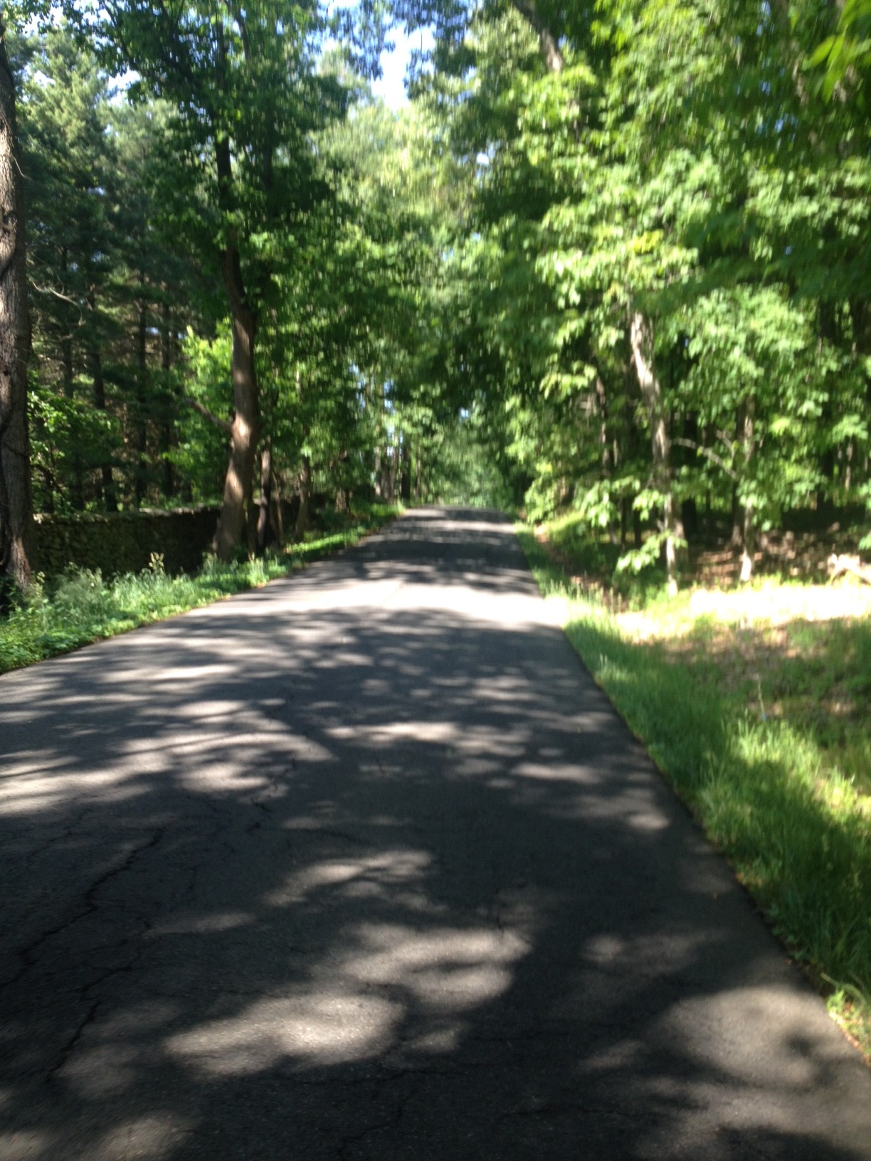
Hopewell Road, near The Plains
I miscalculated. The distance from Antioch Road to The Plains via Rte 55, the way the group went, was 7.4 miles. I figured my route was 2-3 miles father. It was actually only one mile farther, and even riding conservatively, it would only add four minutes to my time.
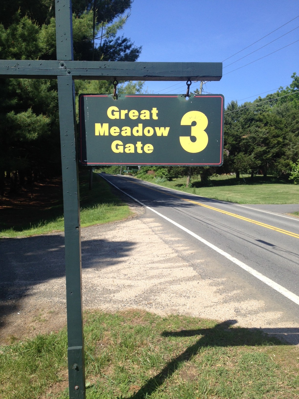
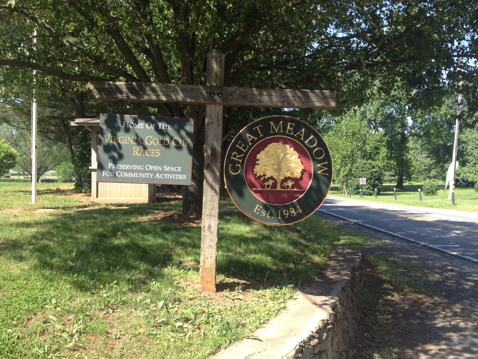
On the road joining the route at The Plains, I figured I was behind the last rider and that I would soon catch some riders. I didn’t, but neither did I worry about it because I was just out for my own ride. Approaching Great Meadows I thought I saw a couple of riders ahead which I timed them at two minutes before I stopped to take pictures. I caught them at Marshall where Greg and Jennifer had pulled over with a derailleur issue.
Greg got the chain back on her big gear which would enable Jennifer to finish the ride. Although she talked of calling a cab, I suggested that she simply turn around and ride back to her car in the big gear. I’m wasn’t sure where they were from but Greg asked if there was a shortcut back and I assured him that staying on Rte 55 was the shortest way. I told them, correctly, that it was about 12 miles.
They headed back and I headed to Marshall. Then the thought struck me. Even chasing, I really wasn’t having much fun on the bike. I went about a quarter of a mile then turned around. I had remembered Haymarket Bikes is in The Plains. I caught them in The Plains and told Jennifer there was a bike store here.
Jennifer, who was walking her bike up a hill since it was stuck in the big gear, said that she would ride on and take the bike to her local bike shop. This, in my opinion, was not a good decision. The bike shop could have fixed her cable in 20 minutes and she could be on her way. But we often don’t make good decisions on the bike. Or while pushing it.
I turned around then went back Hopewell and Antioch Roads, thinking again I was adding 3-4 miles more than Rte 55. I now know it was just one mile farther.
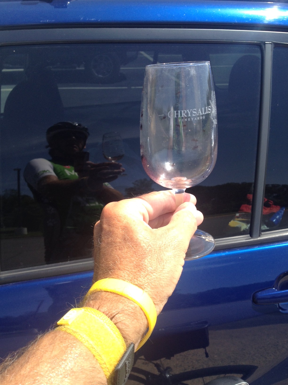
I made one stop. I passed a wine glass alongside the road. I know people throw out bottles and cans but a wine glass? I stopped and picked it up lest it broke and there was glass on the shoulder.
I thought I might catch Greg and Jennifer but didn’t. I assumed they were ahead of me and beat me back to my car. They probably weren’t.
It wasn’t the group ride I expected. Only in looking at the route I took do I now realize I only added one mile to my chase and, except for Greg and Jennifer, had probably came in ahead of the group at The Plains. I wasn’t chasing at all. I was still ahead of the group.
When I had caught them they didn’t act as though they were off the back of the group and was surprised to see a rider. In fact, in retrospect, they acted more like a couple of people off the front of a ride and weren’t surprised that I came along when I did.
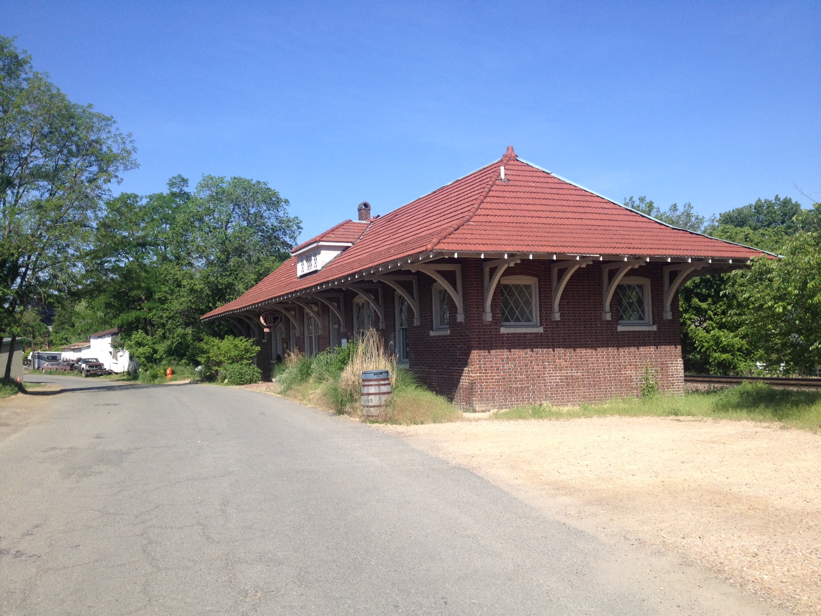
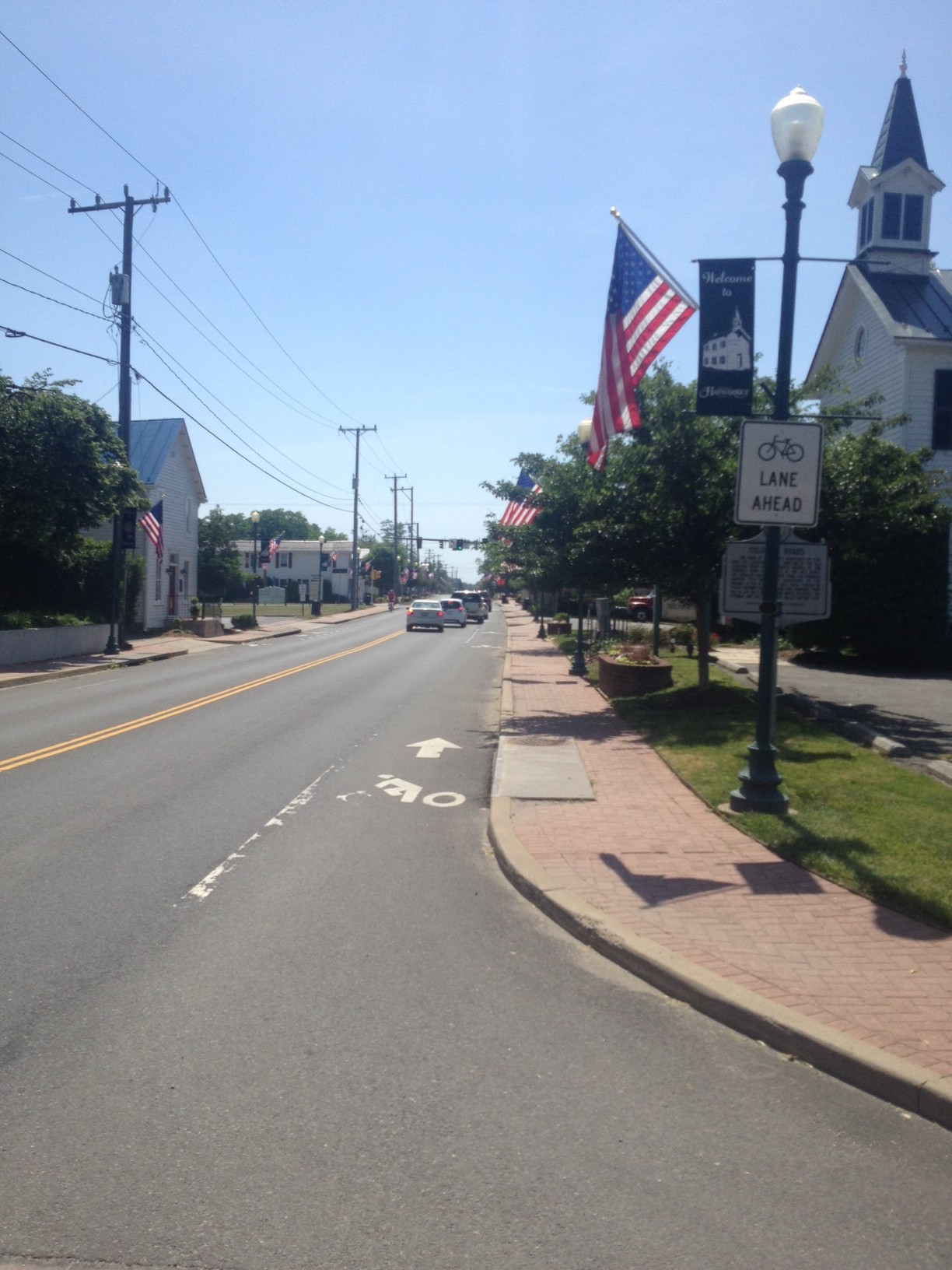
Gainesville, Va.
It was fun trying to support them although they really didn’t take my advice. But I had gone into the red yesterday climbing Mount Weather and a recovery ride was in order today.
Four hours later and my legs are like Jell-O. Or feel like crap. Take your pick. The last time they felt this way after a ride was 11 months ago on the climb to San Pellegrino (Italy). And this was no San Pellegrino.
Looking back, which I’m good at doing, the signs were all there. My breakfast consisted of a handful of grapes and one banana. I carried no food nor money with me. I had two water bottles on the bike.
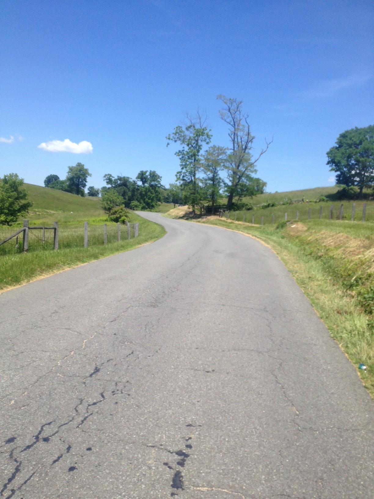
Rectortown Road north of Rectortown
The ride started out OK. I was late, very late, to the Park & Ride lot in Marshall. Most cyclists who do this ride start out early in the morning and it was almost noon. One rider was ready to go and I thought he might come over and ask me where I was going. He did not.
One underway I turned on Rectortown Road and headed north. In no time I caught the rider. I asked him where he was headed and he said he had no idea. I asked him if he wanted to do the Blue Ridger with me and he pretty emphatically said no way. I passed him never to see him again.
Although I have said my Altoona ride in 2010 was my first post-cancer ride, in truth I had come out here a couple of weeks before the Altoona ride, to see if I was ready. So this was my first post-cancer ride five years ago. As I rode I thought about my cancer diagnosis and treatment and where my journey has taken me.
I didn’t have a goal for the day. Finish. Not stop. Yes, that’s right. Don’t even put a foot down. Don’t ask why. That’s not the smartest goal.
In Bluemont I passed the Bluemont Country Store and started the climb up the north face of Mount Weather. It was not easy. I rode my Trek Domane which is not geared as low as the Trek Pilot.
Bluemont Country Store
This was my first climb of the year. I struggled. The first section is out of Bluemont to a switch back where one can recover before climbing the final stretch on Rte 7. The climb on Rte 7 was easy. It is graded for cars to cross the mountain and its 6% grade was a recovery section. But then I turned on Blue Ridge Mountain Road and it had sustained sections of 12-14%. As I was climbing I met two hikers come down.
Route 7 near the top of Snickers Gap
“How are you,” they asked.
“Tired.”
I asked them how they were and they said they were tired too. But they were going down, I was still climbing.
On top of Mt Weather
The top of Mount Weather, well, there is no top. The road goes up and down, always teasing the rider into thinking the descent is finally here and then another climb is in the way.
One passes a secret government facility (think X-Files, if you’re old enough) which is now run by FEMA. But for six miles, what seems to be the top of the climb is a series or rollers. Serious rollers.
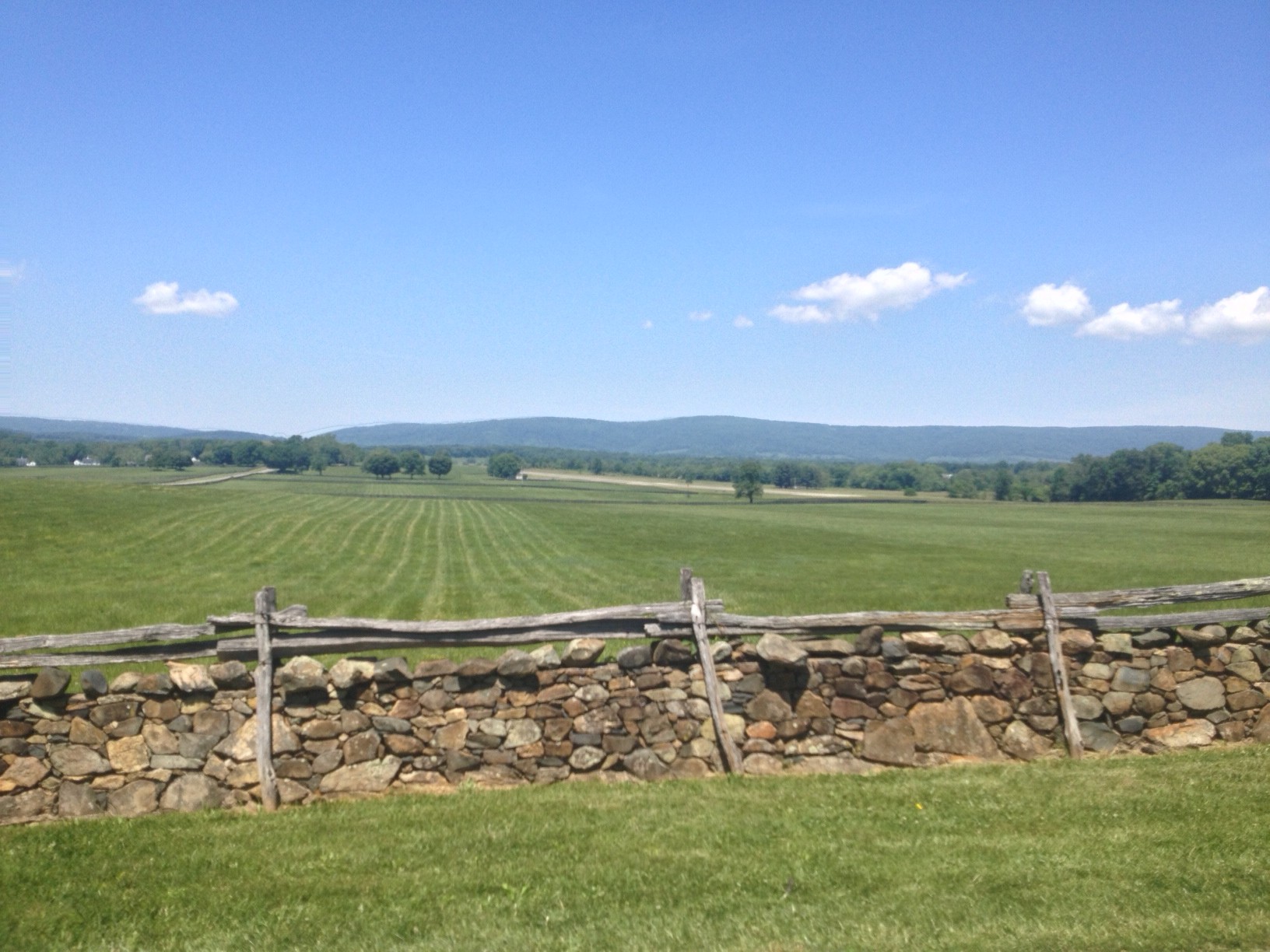
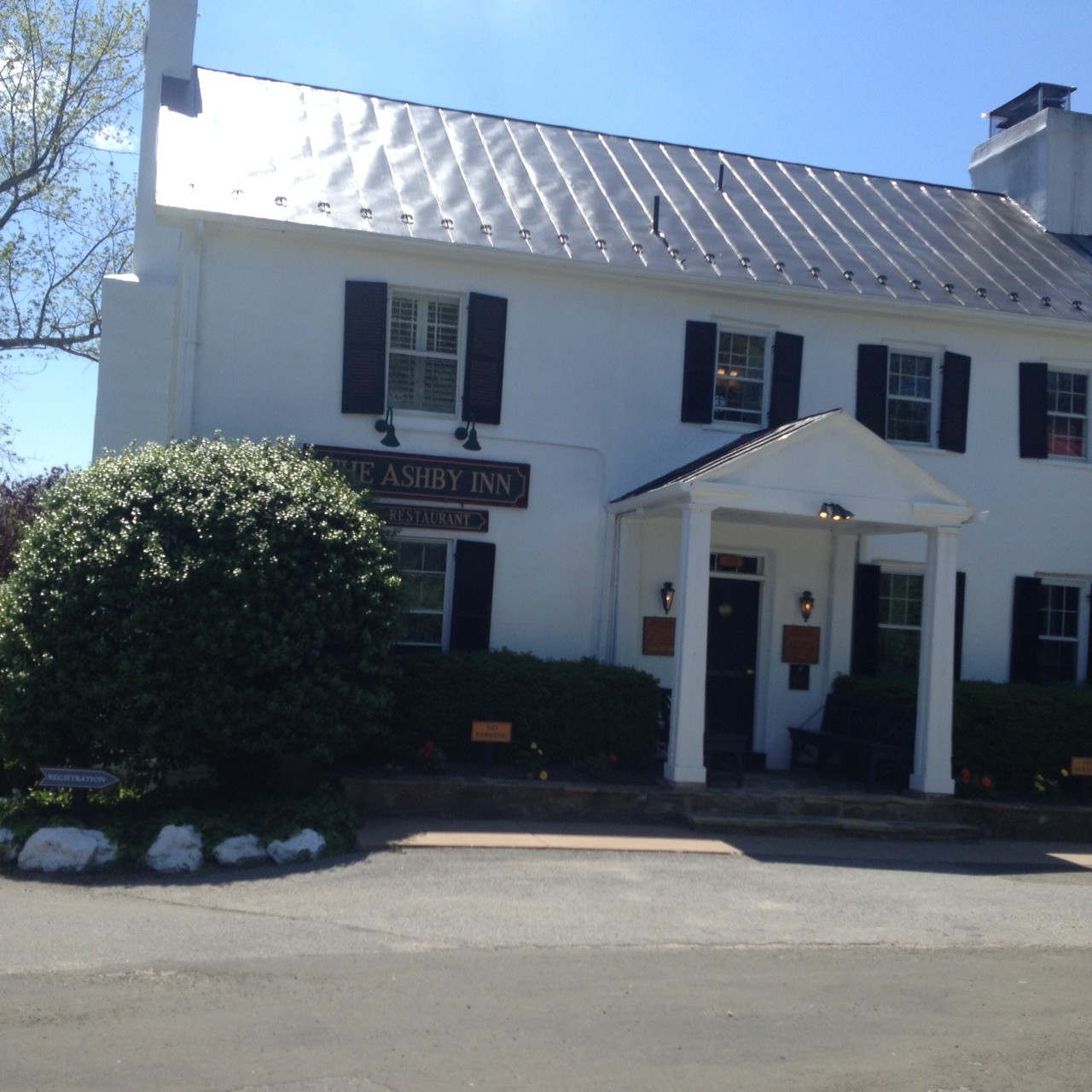
Ashby Inn, Paris, Va.
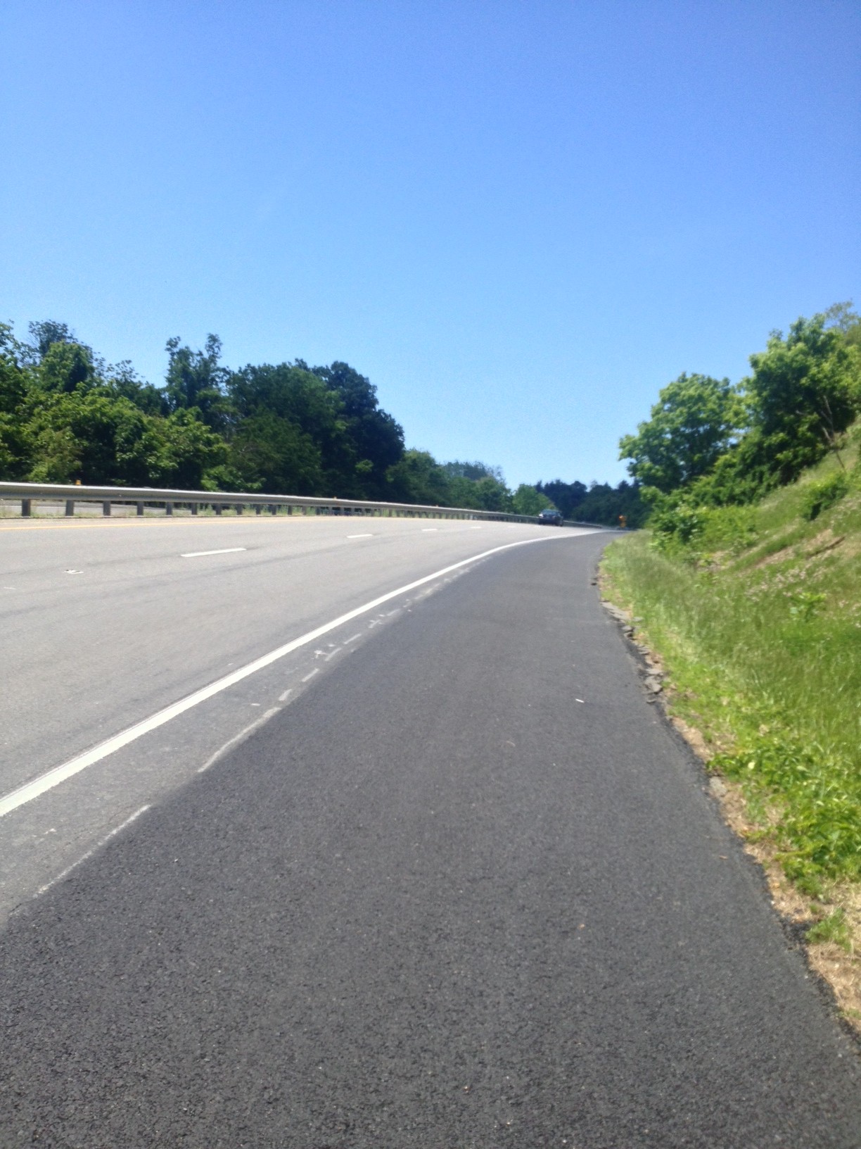
I did reach the top and began my descent. I turned on US 50 and hugged the white line on this busy four lane road. Thankfully, the road from Clarks Gap to Paris is zoned for 45 mph and is downhill so I was able to maintain close to that (my high speed was 44.45).
On this day I felt good until the climb. I knew it took a lot out of me. It felt good to sweat on the bike and I sweated a lot. But now was payback time.
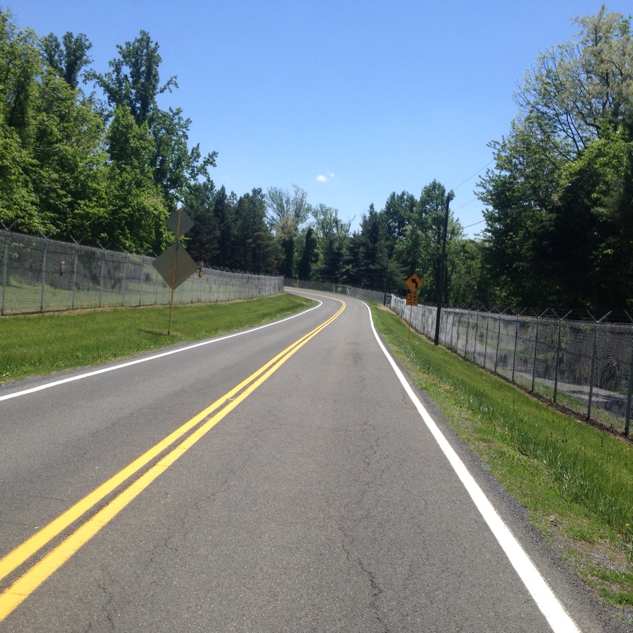
I rolled through Paris (Va.) and came to US 17. Riding on US 17 through Crooked Valley wasn’t bad. There was a small shoulder easy enough to ride. Then I turned on Leeds Manor Road and the pavement was terrible. Uneven. Rough. Lots of holes.
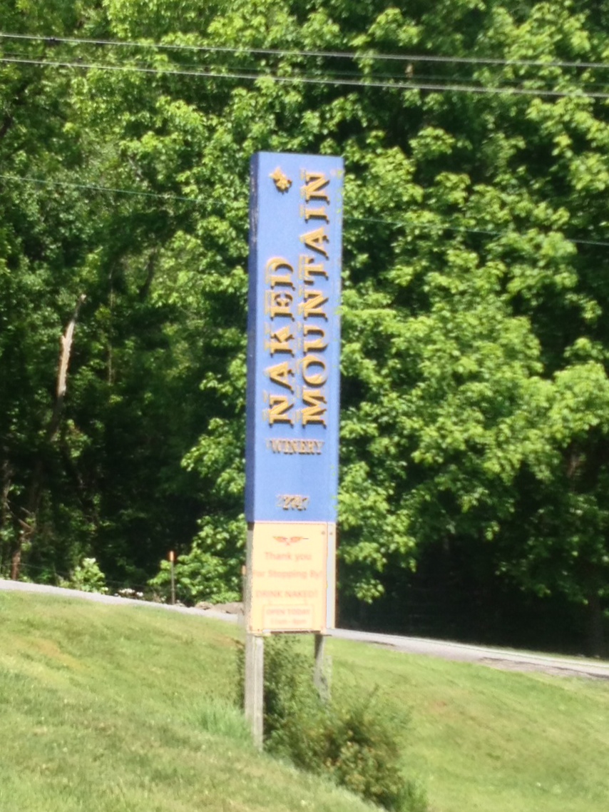
A description of this route is counterclockwise is the hard way up Mount Weather and the easy way up Naked Mountain. My only hope, and what I clung to, was I at least had the easy climb on Naked Mountain.
Naked Mountain Winery
It wasn’t easy. It was hard. Damn hard. And I had two or three sweat bees constantly land on me as I tried to swat them off.
I summited the climb then began the descent off Naked Mountain on a real rough road. I felt better when I reached James Madison Highway (aka Rte 55) since the pavement was great. But I was going into a headwind.
Tired at the end
I suffered the last 10 miles and knew I wasn’t going well. Only later would I discover that that was my worst time ever ride the loop. It was my worst time up Naked Mountain, but astonishingly enough, I had my best time on the climb up Mount Weather. Perhaps pushing a higher gear than I have in the past improved my time at the expense of zapping my energy.
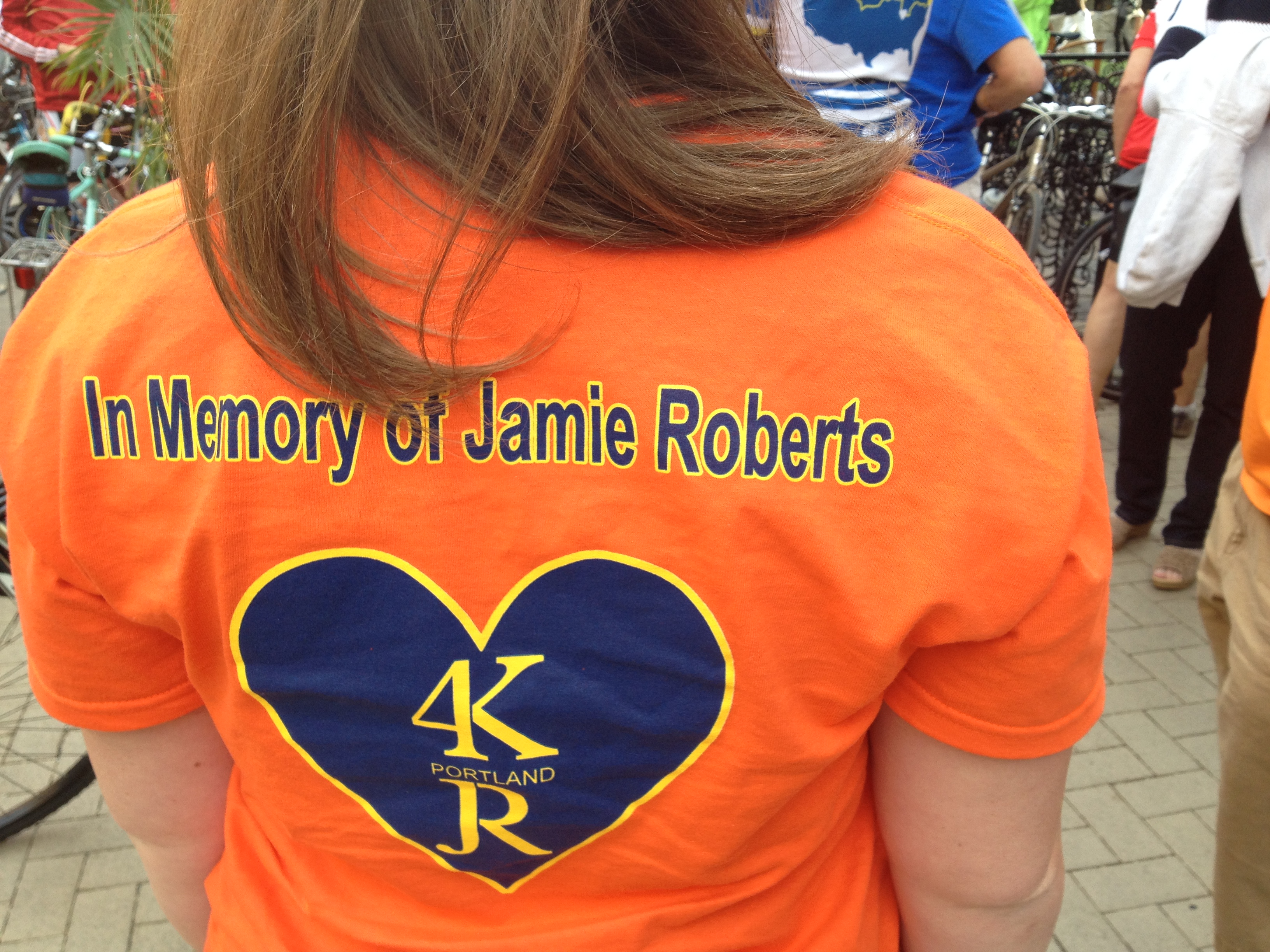
In October I organized a Tribute Ride for Jamie Roberts. Then I found that Rockville had an annual Ride of Silence. I wrote to the ride’s contact, David Merkin, and proposed that they dedicate this year’s ride to Jamie. They did.
It was a record turnout for the Rockville Ride of Silence. The unofficial count was between 60-70 riders. The one reluctance they expressed in dedicating the ride to Jamie was they were afraid hundreds may show up. I assured them there would be a small bump but it would not be unmanageable. And it wasn’t.
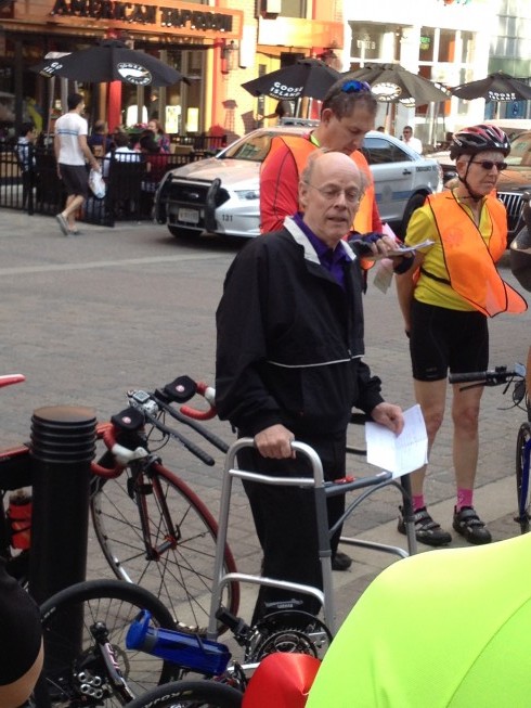
Bob Roberts
David welcome the group and introduced Bob Roberts, Jamie’s father. Bob had broke his hip in a bike crash six weeks earlier and was using a walker. On the sidewalk he spoke of Jamie and her life. And he read her summary of why she became a rider to fight cancer.
We rolled out with a police escort. While the ride was supposed to go off at 10-12 mph, there were times we were rolling along at 20 mph. There were some younger, and older, riders who couldn’t quite manage that pace and some gaps developed.
Once we left, we rode in silence. Lights on. Safety colors. Traffic was mostly respectful.
At one intersection there was a gap behind me, and I often road in the gap to drive to protect the second group. As I reached the intersection I stopped in the traffic lane to keep a car from pulling out as there were riders coming. The driver honked – just as a police car came into the intersection. I can only imagine how small he must have felt when he saw the cyclists had the right of way.
The last mile we rode down Md. 355, a six-lane highway, three in each direction. The police rode behind us blocking one lane. The problem was, a couple of riders decided to ride over the lane in the second lane as well. This was not cool. I could not tell if it was intentional defiance of taking another lane or just riding side by side and losing his line.
Arriving back at start, I said goodbye to the Roberts family, not sure when I would see them again. But the next time Jamie will be honored, I’ll be there.
I have been doing a series of rides with Terrance Moran, helping coach him to do his first 50-mile ride. We have been going at his speed, which is about 12.0 mph, as he gets comfortable in distance riding with clip-in shoes.
Today I was by myself and I wanted to ride to Clarkes Gap and back from Reston. It was warm, around 80°, and I took off. Unlike weekends, when I seemed to get passed by all the hammerheads, today I was only passed once.
W&OD Trail at Clarks Gap
After the Luck Stone Quarry, a young guy on a Time Trial bike came flying by me, and truth be told, scared me a little. He did not call out “passing” or “on your left.” Just head down, earbuds in. So I reacted like any sane, somewhat pissed off cyclist would: I jumped on his rear wheel and stayed there for the next seven minutes (two miles). He was annoyed and when we came to the stoplight in Leesburg he asked why I was drafting him. The real answer was “because I could” but I said, “Oh, sorry, I was just waiting to hear ‘on your left.'” Was that wrong?
At the top of Clarkes Gap I turned around into a slight headwind. After rolling through Leesburg I stopped for a candy bar at the Carolina BBQ restaurant on the trail in Ashburn. As I was walking out, making noise coming down the wooden ramp, an older woman, also a cyclist, said “you’re one of those clippy guys.” Laugh out loud. Yes, I guess I am.
A little caffeine boost at Carolina Brothers
Back on the trail, I felt myself slowing down. I was supposed to have a tailwind returning but was going into a headwind. Once finished and uploaded the ride I was surprised I was four seconds faster coming back than going out. I swear I was slower. I averaged almost 17 mph, solo, on a relaxed day, which was a vast improvement over the 12 mph which I have been averaging. With Terry.
It has been a long time since I have ridden in this area. Rather than spend all day in the pool, I thought I would do a version of the three-state ramble which I have done in the past. This one would be clockwise.
I left Bethany’s place and headed out Old Country Club Road. Crossing U.S. 340 it becomes a Cattail Run Road, a country road. At the end it dead ends into the Old Rte 9 where one crosses the Shenandoah River. At the end of the bridge I followed a road down to the river’s edge which was a perfect place to start the climb.
The road is a “mid-major” road. It used to be the main route over the mountain but it very windy and hilly with no shoulders. The bypass has been in for two years so it was surprising the number of cars still using this road. I assume they’re all locals.
The only decision point on the route was when the road turned for the last 3/4 mile up the mountain. Straight ahead was a road, Hostler Road, which I guessed continued under the bypass. I was right. The road was very “lumpy.” When it was build years ago there was no grading, just paving. And it showed. There were lots of little rises that were like punches to the gut.
Eventually, after a couple miles of teasing, the road turned down. I crossed a crosswalk, a painted crosswalk, out in the woods, which I knew to be the Appalachian Trail. Hostler Road had ended and became Chestnut Hill Road which ended at U.S. 340 across the Shenandoah River from Harpers Ferry.
This stretch of road is not fun. No shoulders and impatient traffic. I was in Virginia for just 0.6 miles but was glad to leave as fast as I entered.
I eyed up the long bridge over the Potomac River on U.S. 340 and decided the only place for a bike was on the road. A two lane road. I think I timed the last of the traffic from the light and took off with no traffic and got 3/4 of the way across before any traffic caught me. I took the middle of the lane so not to allow or encourage someone to try to pass where there was no room.
At the end of the bridge I climbed up towards Brunswick, Maryland, and when I saw Sandy Hook Road, knew I was supposed to follow it. It’s a narrow two lane road which goes down to the river’s edge, separate by the C&O Canal and two tracks of CSX Railroad. I heard a train coming through Harper’s Ferry and waited for it to come out of the tunnel. Then followed the road until I found a bridge over the canal.
Bridge over C&O Towpath
I rode on the towpath for about 1/4 mile then climbed the stairs up to the railroad bridge. Once in Harpers Ferry there is a half-mile hill, at times pushing 12%. A couple of guys near the top yelled to me “only five miles to the top.” I laughed. “I know this hill well,” I responded. Jerks.
I looked for an alternative to 340, went through Halltown, then found my way back. It was only 27 miles but my legs said it was much longer.
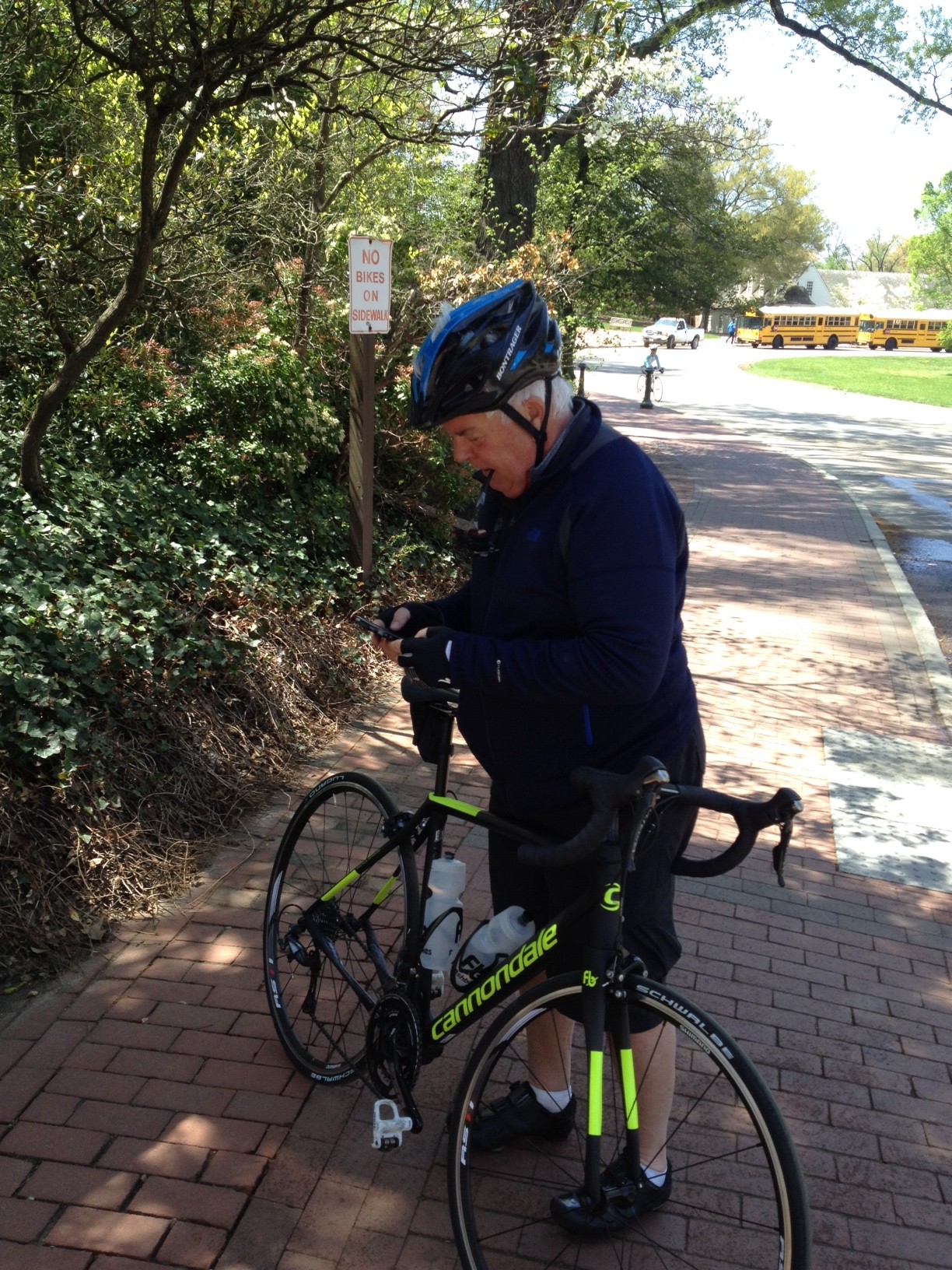
Terry Moran recently got a road bike and was anxious to start getting miles. I started in Dunn Loring and offered to meet him in Alexandria at the Marina for a trip down the Mount Vernon Trail.
Terry on the Mt. Vernon trail
Still a bit chilly for late April, the temperatures were in the mid 50s.
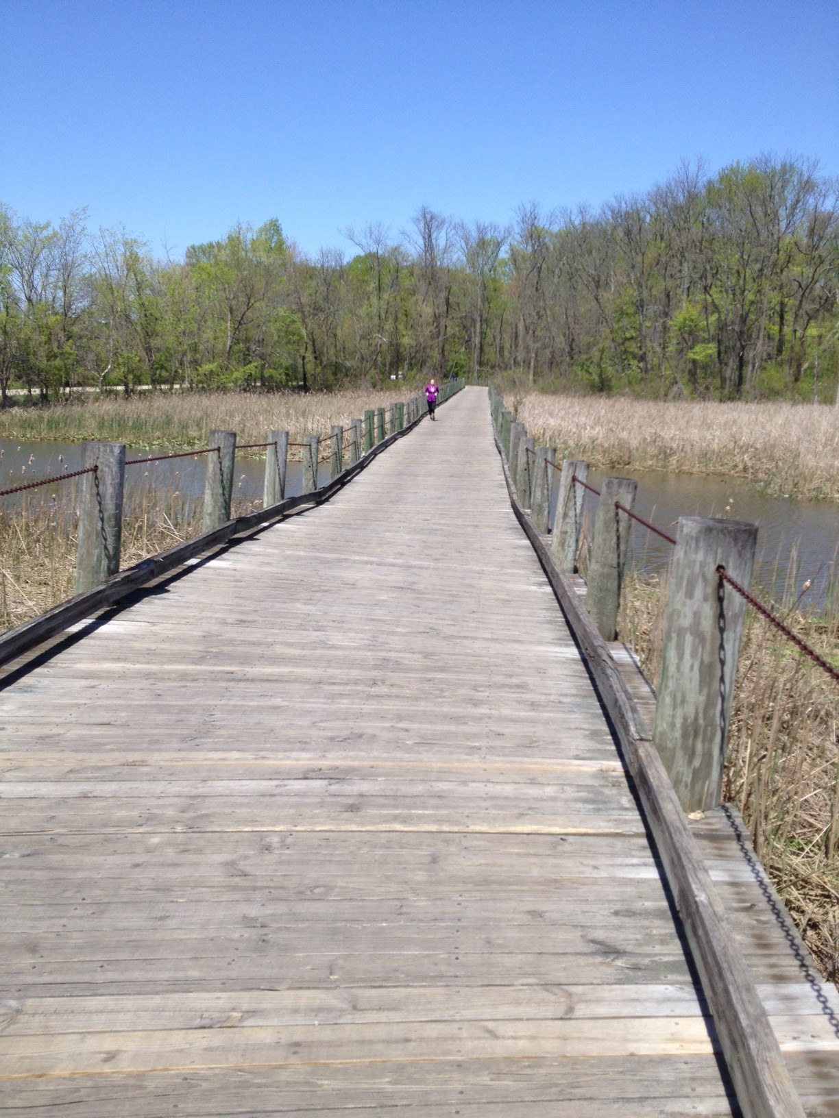
Boardwalk south of the marina
This is a popular trail but not so much on a cool weekday. We didn’t have to dodge too many people.
Terry taking a break
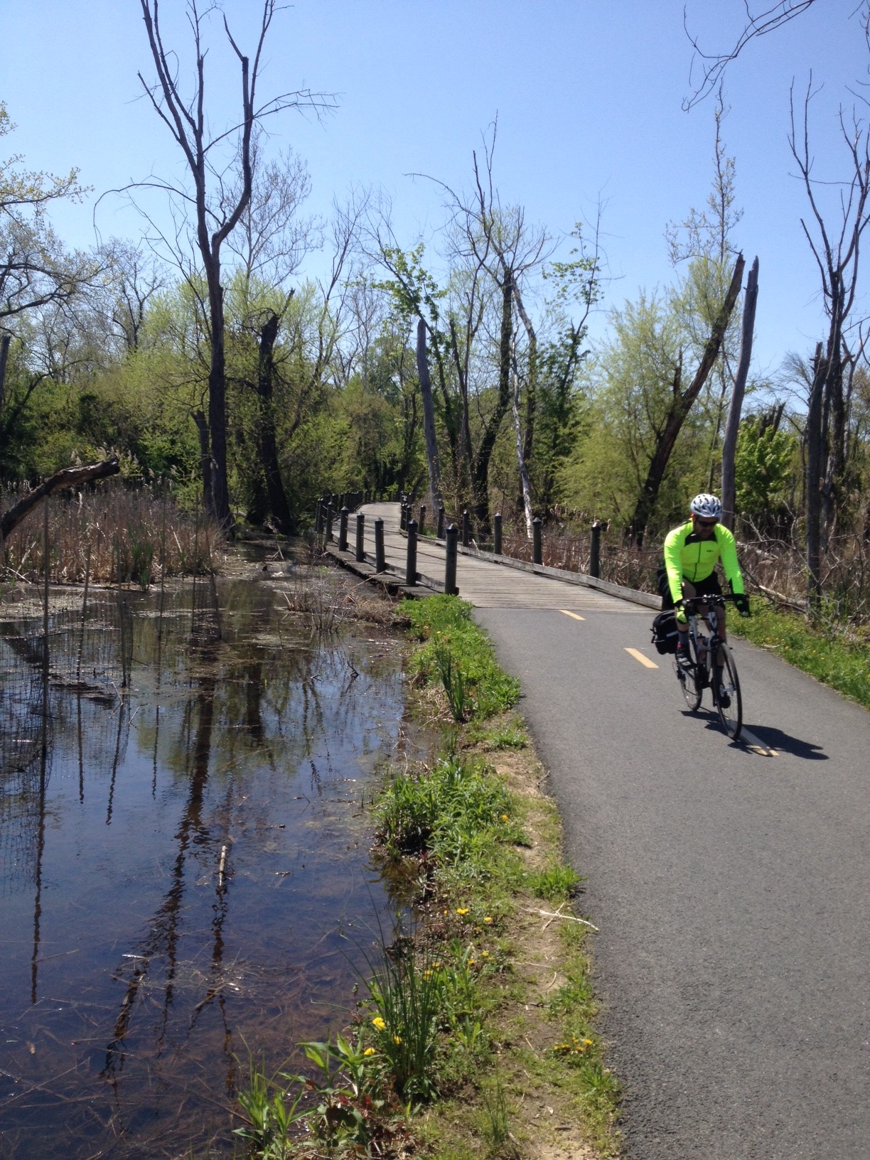
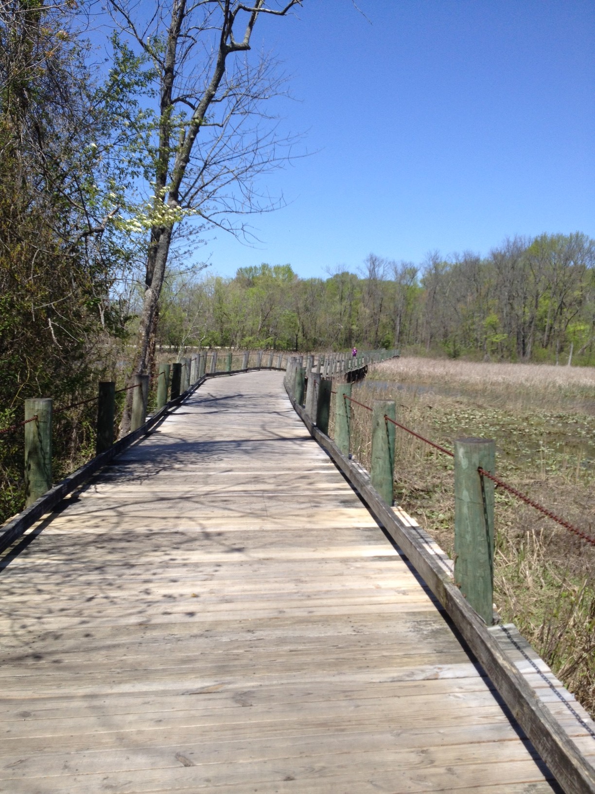
The trail mostly follows the Potomac River although there are some beautiful stretches of boardwalk, mostly over wetlands. Boardwalks scare me ever since I crashed on one on this trail in July 2013.
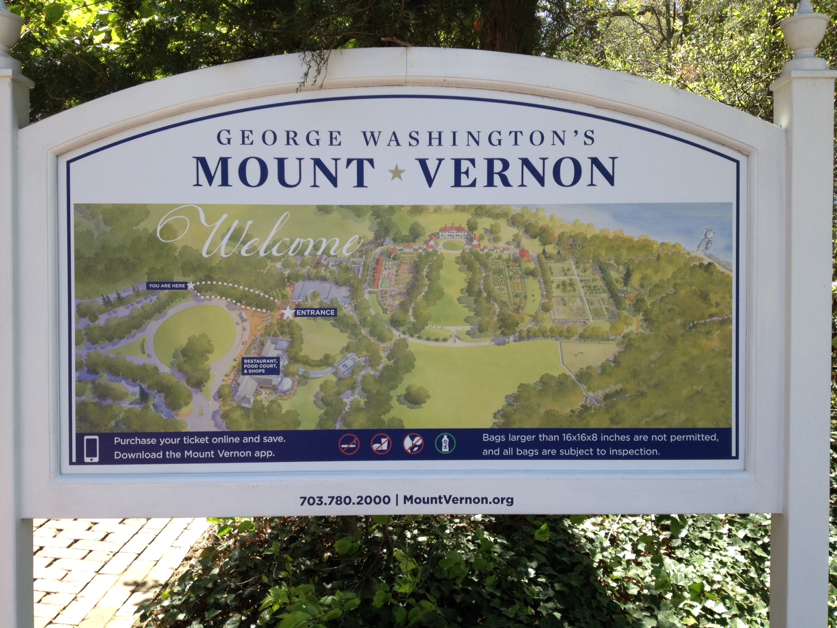
George Washington’s Home
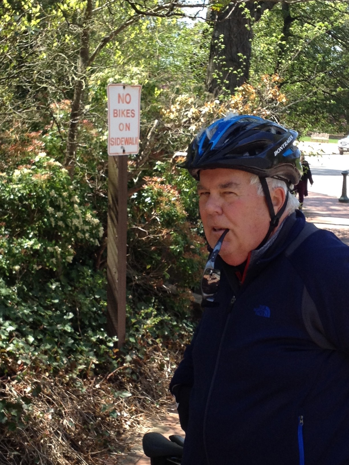
Terry
It is mostly a flat trail but close to Mr. Washington’s estate it becomes hilly. Not long but short steep little climbs.
Boardwalk south of Alexandria
It was a nice ride. Nothing epic but great scenery. And Terry only fell once – when we approached an intersection the same time as a BMW. He panicked as he unclipped and fell over in the grass. The driver, a beautiful woman, and I laughed.