Horseshoe Curve – My Happy Place

ALTOONA, PENNSYLVANIA

In early 2008 Bicycling magazine published an article about the toughest climbs in each state. Maybe not the toughest but most iconic in each state. For Pennsylvania, Horseshoe Curve was listed with a description of a “Three lakes, a 200′ tunnel and an 18% wall, what could be better?”
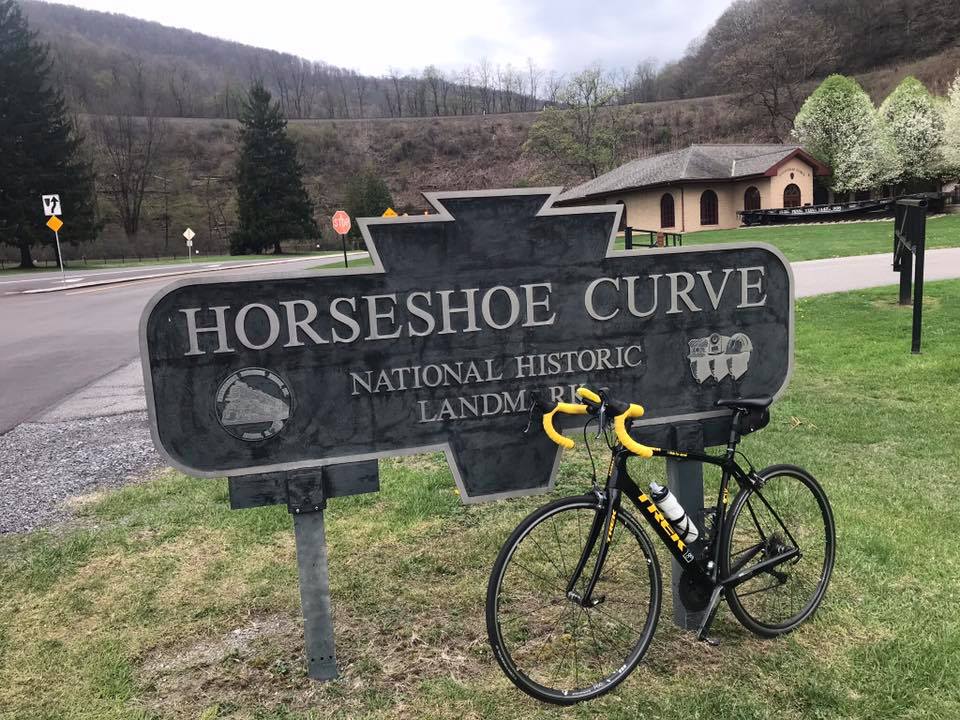
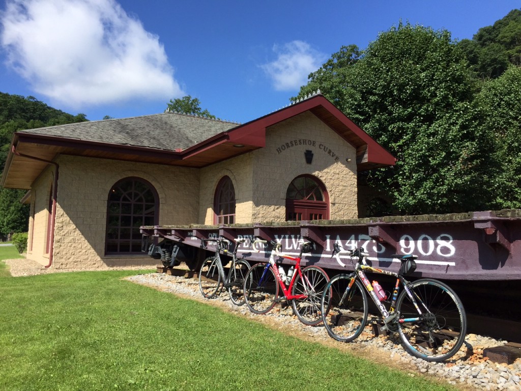
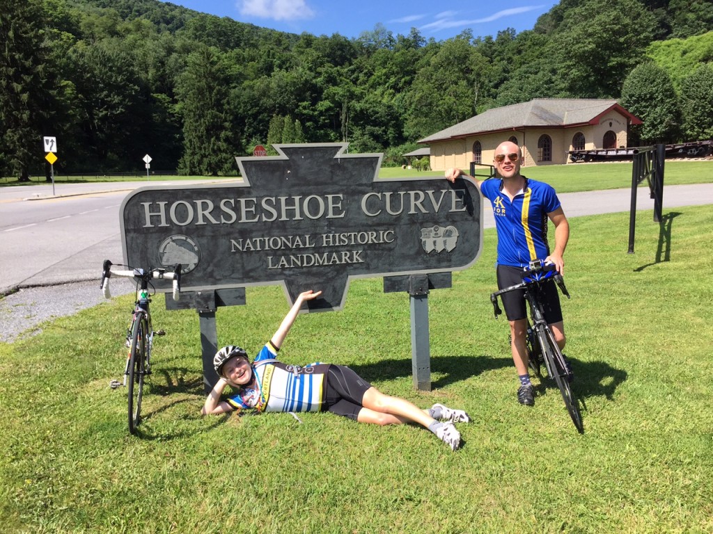
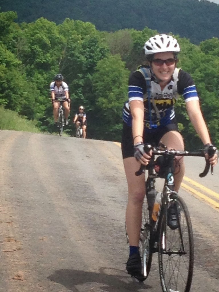
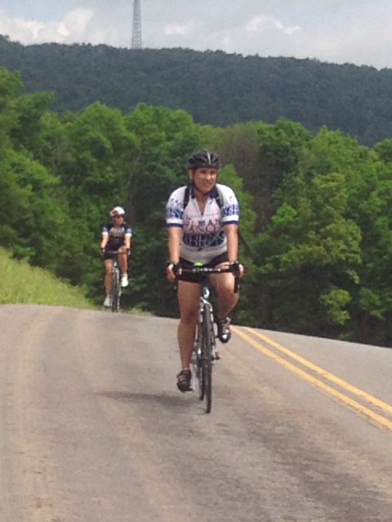
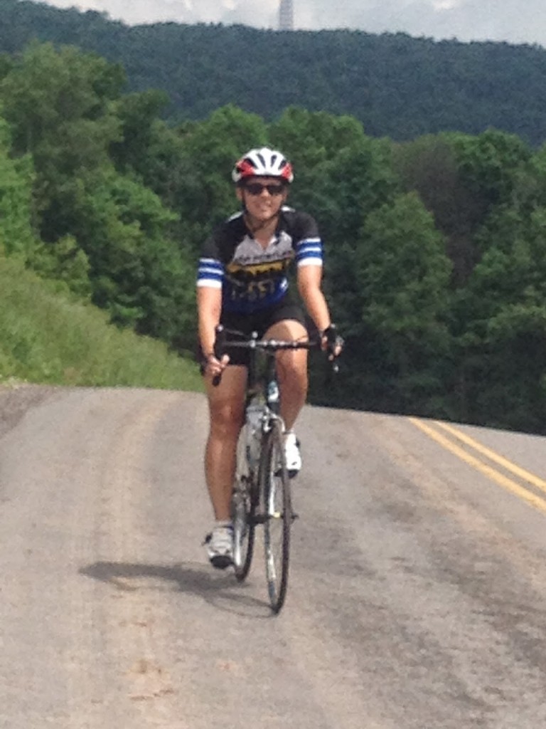
At the Curve – May 5, 2018

It was then I knew I had to ride it. And it has become my go-to ride. My happy place. So let me tell you in my words what is so special here.

I first came here after I read the description. And I keep coming back.

I call the climb Horseshoe Curve. Technically, I suppose, Horseshoe Curve is really the engineering marvel completed in 1854 which got trains over the Allegheny Mountains. The New York Central could run a train from New York to Chicago in 16 hours but it took four days to travel between Philadelphia and Pittsburgh using canals, horses, train cars, and the Allegheny Portage Railroad. One can read about the history anywhere, I will link to an article at Uncovering PA.

Typically, I park at the Logan Valley Mall to begin a ride. Although gradual, one begins climbing the minutes you push down on the first pedal. It’s about 2.5 miles up 58th Street to Kittanning Point Road. Make a left here and it’s an easy three more miles to the Curve.
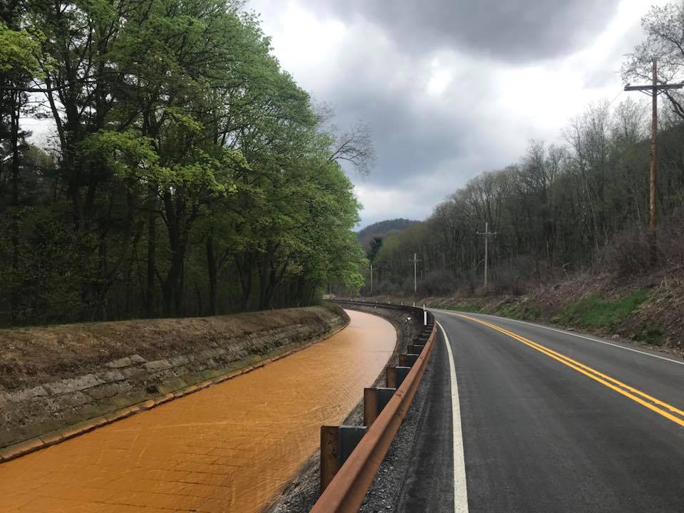
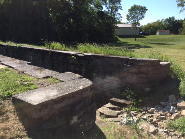
Canal diverting mine water – May 5, 2018

If you are lucky, there will be a passing train or two and you can hear the clickety-clack clickety-clack of the train. If it is climbing you can race it although eventually, the sound will pull away.
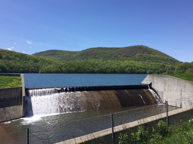
You will pass three lakes – all reservoirs with the Altoona Water System. The first is Lake Altoona, the largest and prettiest of the three. The second is the Kittanning Reservoir. The third is at the Curve itself. It is smaller than the first two and I’m not sure that it is named.
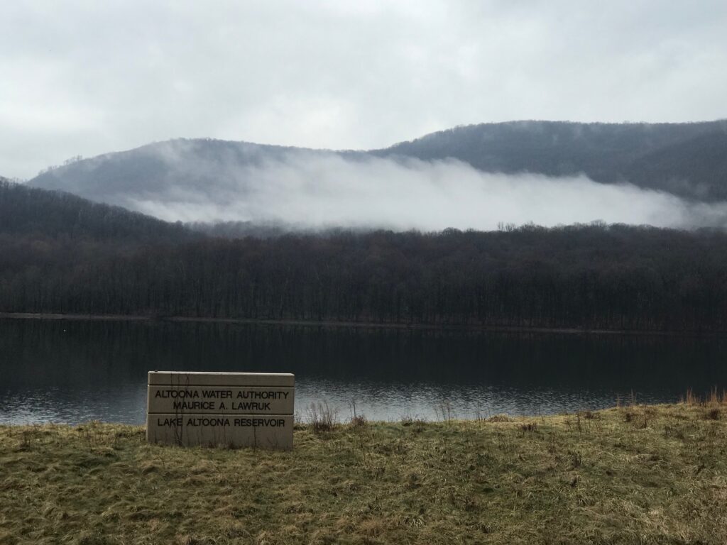
Lake Altoona Reservoir – 19 Mar 2020

The water in these lakes is pristine. But that is because of a unique water-diversion system. There is a lot of mine drainage in the area marked by the bright orange color of the acid water. There is a canal next to the lakes which carries this water safely past the lakes. I do not know where the orange water goes after bypassing Altoona’s water supply.
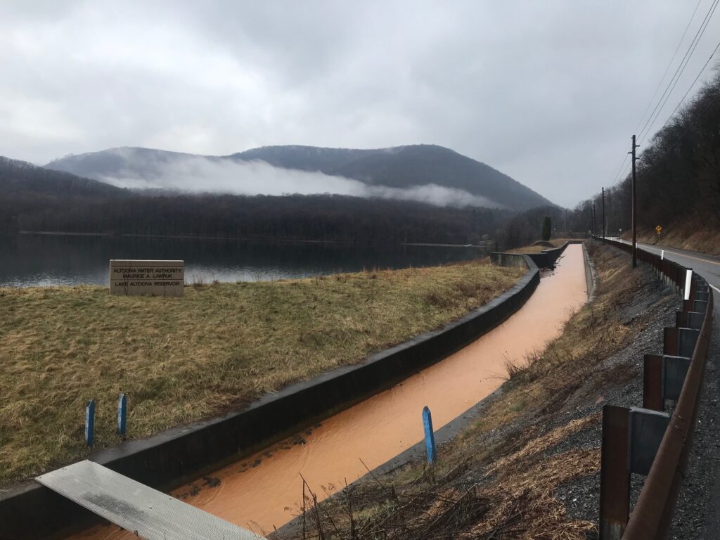
The canal the diverts water past Lake Altoona Reservoir

These three miles (3.2) are pretty easy. Yes, one is climbing but a lot of it is flat beside one of the three lakes. I calculate this portion to be 1.9% grade.

At the Curve itself are the attractions. The Curve itself is the main attraction. This is a pay-attraction area. As of 2020, admission was $8 but one would need to check to be certain. At the Curve, one can climb 194 steps or take a funicular (Inclined plane) to reach the viewing platform. I come here to ride a bike and not watch trains so I cannot comment any further about the Curve.

For years the Curve was covered in heavy forest. Around 2018 they cut down acres of trees which was both disappointing but also pretty cool. Now as you approach the Curve you can see the trains on the tracks. And the passengers on the Pennsylvanian (Amtrak, twice daily) surely must enjoy the view.
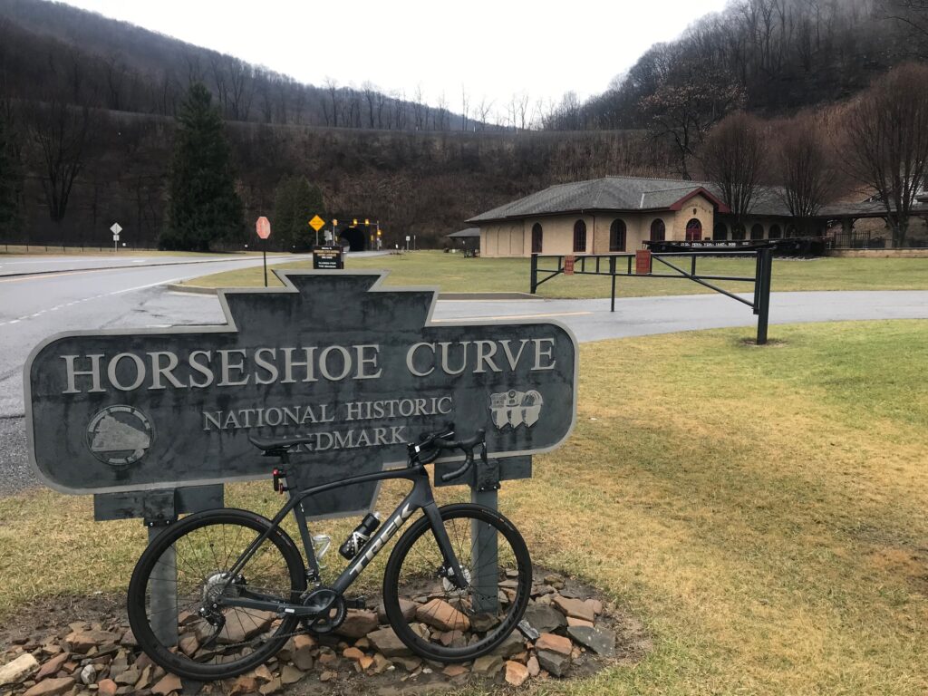
A foggy, wet, day – 19 Mar 2020

Traffic on Kittanning Point Road to the Curve is generally light and always courteous. In the three miles to the Curve one might get passed by 5-6 cars. Most of the traffic seems to be going to visit the Curve.

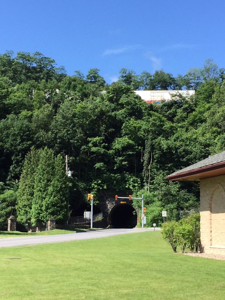
And then the fun begins. There is a 200-foot tunnel that goes under the Curve. Look carefully because there are two tunnels. One is for car traffic and the second is for water – that disgusting orange mine water that bypasses the drinking supply.
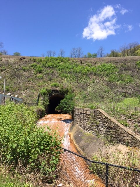
Mine runoff – ugh

Go through the tunnel and everything changes. First, the road turns up. Second, one is in a deep forest. Nothing to see but trees and water of the Glenwhite Run. It is absolutely beautiful here. (And I typically do not have photos from this area as I don’t want to stop then have to restart.)

The legs may slow down as the body notices, even if the eyes do not, it is getting harder to pedal. By my calculation, it is 3.3 miles from the tunnel to Coupon-Gallitzin Road. And the grade works out to be 5.3% which doesn’t sound like much. But that also includes a downhill section near the top.
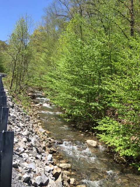
Glenwhite Run

There is a half-mile section that averages more than 12%. The “Wall” is 18% or 19%. Two things always happen when I go up this road. First, I always battle myself and wonder if this will be the first time I have to get off and push my bike. And second, there is an immense feeling of satisfaction and pride from having made it.

I am almost always alone on this stretch. Traffic is light – often only 1-2 cars will come up the road. Today, there was a logging truck followed closely by a car. And that was it.
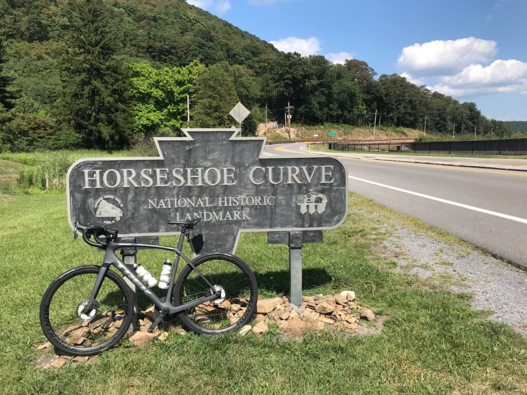
16 Aug 2020

I’ve had my moments with others too. In 2009, I met Richard and Stacey Fiore riding up the road. Stacey had never made it before without walking and I sent her husband up the road while I rode with and encouraged her. I thought we had it but she dismounted only about 50′ from the top of the Wall.

For my first post-cancer ride in 2010, I brought some friends here from Northern Virginia. None was more special than my good friend, Scott Scudamore. I am sure glad he got to experience this climb and we had a blast twice bombing the descent on Sugar Run Road.

Kelley Vito said she understood why I find peace here because “you only think about dying while climbing that hill.” In 2017, I was with Chey Hillsgrove and Chelsea Johnson. Chelsea would see a curve ahead and then ask – “Oh my God, is that where it begins?!” I laughed and told her the truth – “Oh no, that’s not the Wall – the Wall is much worse.”

I would have bet against Chelsea that day but she found her inner strength and made it. I was so proud of her.
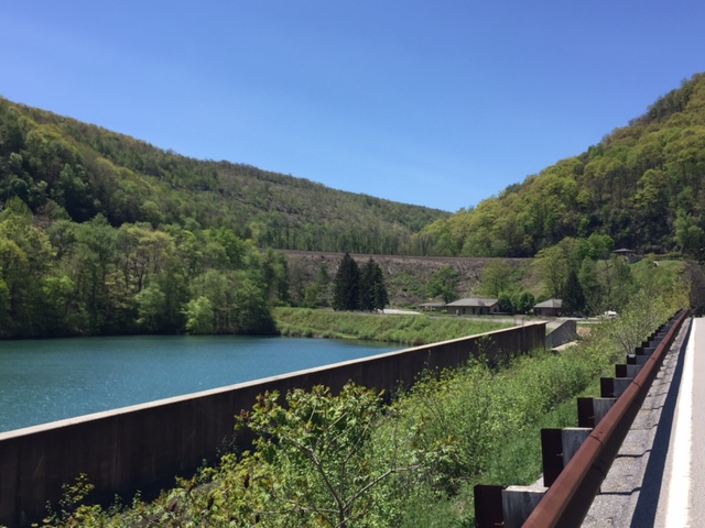
The third reservoir – at the Curve itself

But Kelley was right. When I come to these mountains, all I can think about is the next pedal stroke. Pushing up that hill. Or descending at crazy fun speeds but 100% focus on the descent. There is no time for cancer in my life when I am in these mountains and on this climb.

I was feeling quite down this morning. And I looked on my bike and the stem cap says “I am a Survivor – 10 Years.” And my bad feelings went away. Let’s enjoy this day!

I didn’t have any segments starred in Strava so none displayed as I was riding. But at the end of the ride, I saw I was averaging more than a 15 mph pace. And I don’t think I ever did a ride with this climb that I averaged 15 mph.

I looked at Strava. I averaged 15.4 mph. And I had PRs on all the segments. Most of those I am #1 in my age group as well. Although my times are nowhere near the best times – I can’t compete with the young guns. But in competing against myself (PRs) and in my age group, I did pretty well.
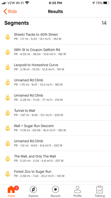
All PRs on September 24, 2020

My earliest rides were not recorded. The first record ride I can find of Horseshoe Curve was August 2, 2009. I had lost a lot of weight prior to my cancer diagnosis. In addition, I was “training” for the Mount Washington Auto Road Bicycle Hillclimb. And on the same route as today, I averaged 14.2 mph. Of course I was 11 years YOUNGER!

For one day, I felt strong(er) in the mountains. My times pale in comparison to the young riders but I was better today than 11 years ago. And only in the last five years have my rides been uploaded to Strava for those comparisons – and I broke every personal record there too. On a heavy gravel bile.

This mountain is where I come to get away. And this is where I find peace on a bike.
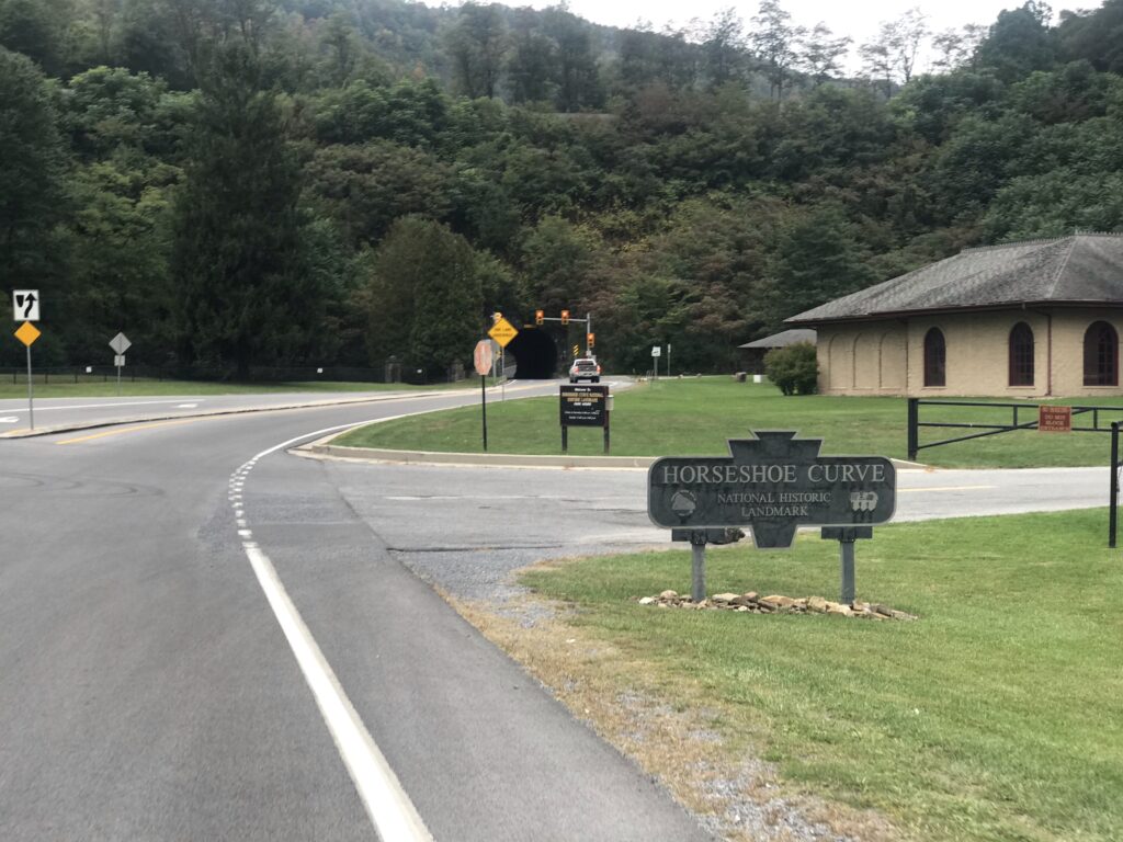
Horseshoe Curve – Sept. 24, 2020

Distance: 20.4 miles
Average: 15.4 mph
Max Speed: 41.8 mph
Weight: 179
Eight Bridges

SHELLSBURG, PENNSYLVANIA

This time I got it right.

With rain hanging in the air from Greensboro to Boston, I tried to find a window when it was dry enough to ride. In addition I was coordinating this ride with Rocky Sprow. We agreed on the start time of 12:30 p.m. and met at Shawnee State Park.

Rocky brought his friend, Ed, with him. The last time we rode together I had some girl strip naked in front of me and jump off a dam. I couldn’t promise anything quite as exciting as that today.

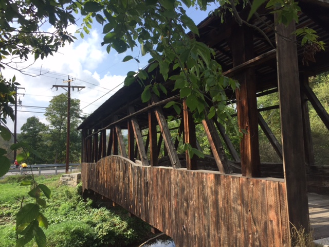
Herline Bridge - Longest bridge in Bedford County
Herline Bridge – Longest bridge in Bedford County

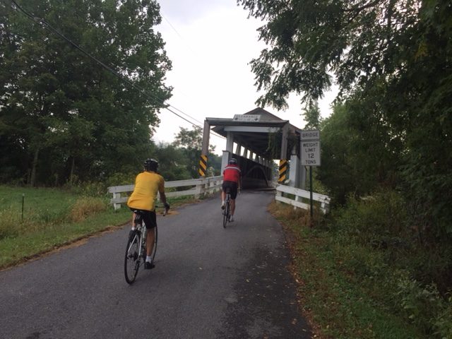
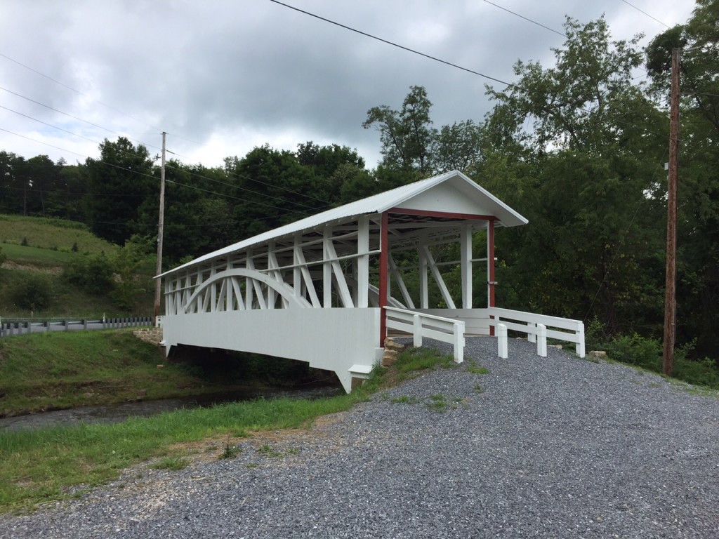
We headed out of Shawnee State Park towards Manns Choice. The roads were mostly dry but the sky was gray.  We found the Herline Bridge just five miles into our ride.

From Herline we went on Rte 31 and US Rte 30. We were on the shoulder on Rte 31 for 5.5 miles to the Jean Bonnet Tavern and another 1.5 miles on US 30. This was the sketchy part of the ride but best get it over in the first part. This is marked as Pa. Bike Route S – a major route across the state. But as I often say, “just because you slap a sign on it (designating it as a bike route) doesn’t make it safe.”

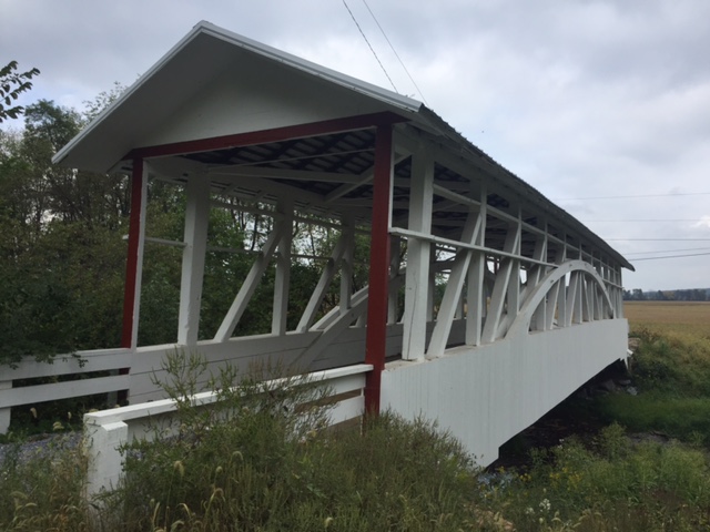
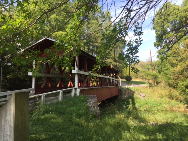
Claycomb Bridge
Claycomb Bridge at Old Bedford Village

We found the the Claycomb Bridge  at Old Bedford Village then followed Old 220 out of Bedford. From this second bridge to the third would be 11 miles – our longest stretch between bridges. Up ahead we could see rain on Blue Knob. It did not look like we would survive without getting rained on.

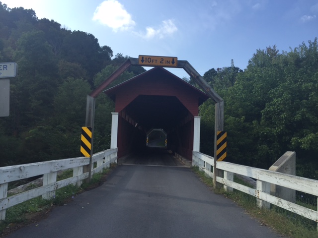
Bowsers Bridge
Bowsers Bridge

We went through Osterburg which was the location where I followed the Covered Bridge Route last time and missed four bridges. This time I stayed with what I knew was right.

Snooks Covered Bridge

The third bridge was Bowsers Covered Bridge and then it was only two miles farther to Snook’s Covered Bridge.

bedford_5

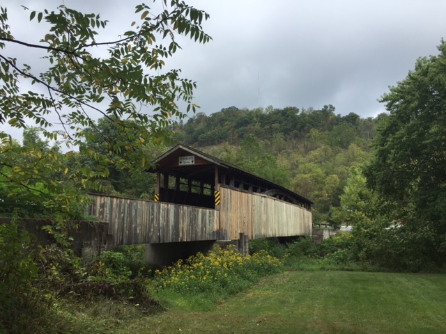
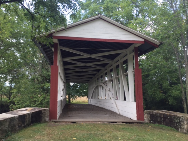
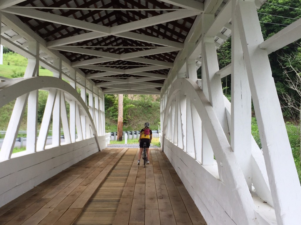
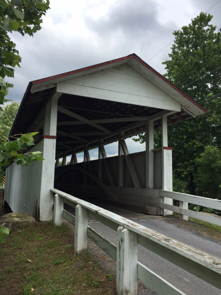
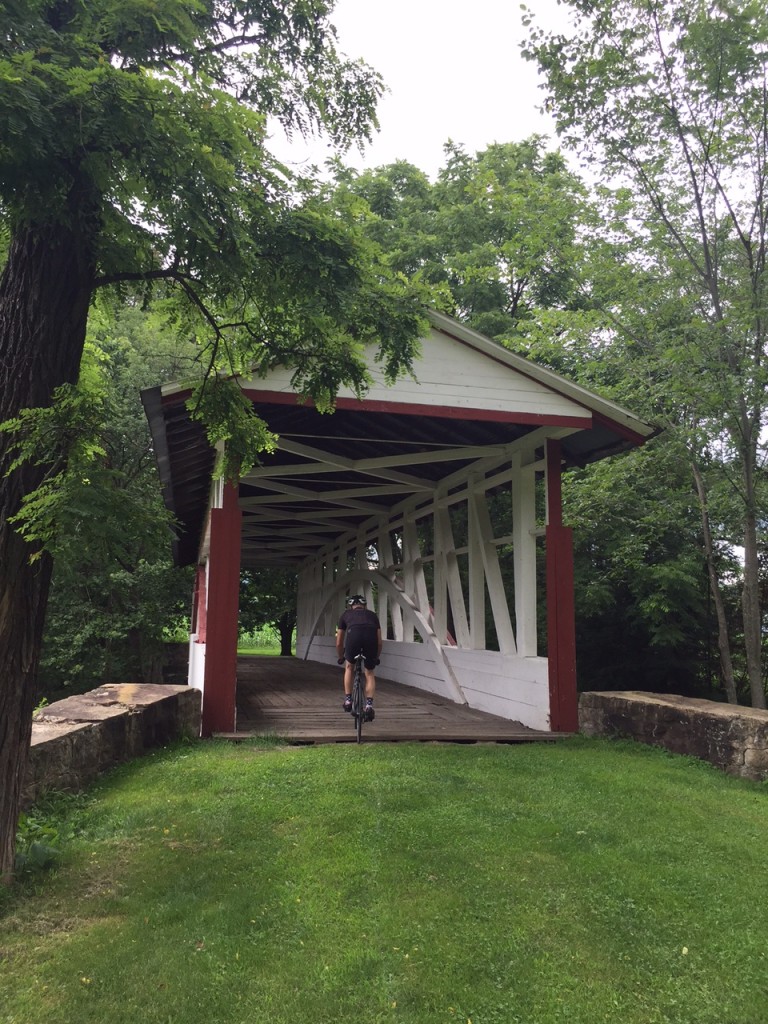
After Snook’s it was just another two miles to Knisley’s Covered Bridge. I rode through each bridge and this was the most challenging. The floor boards have large gaping cracks in them and I rode diagonally to avoid getting my wheel caught in one. But I rode it through it.

Kniseley Covered Bridge

In an area where drivers are usually very nice, we were on Dunnings Creek Road. A driver came up behind us and laid on her horn for about 30 seconds all the while she was passing out. Wow. A young lady too which blew away our stereotypes. May she have a better day than whatever it was that was disturbing her.

Ryot Covered Bridge
Ryot Covered Bridge

The Ryot Covered Bridge was just ahead, about 2.5 miles from Knisley. We survived less a little hearing.

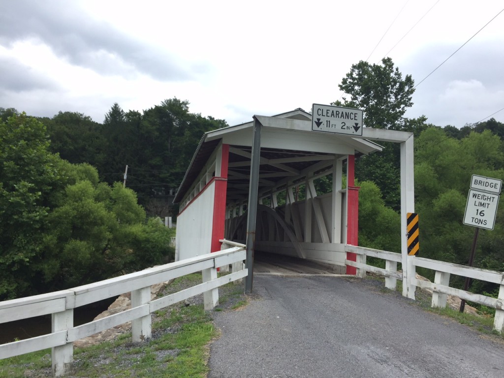
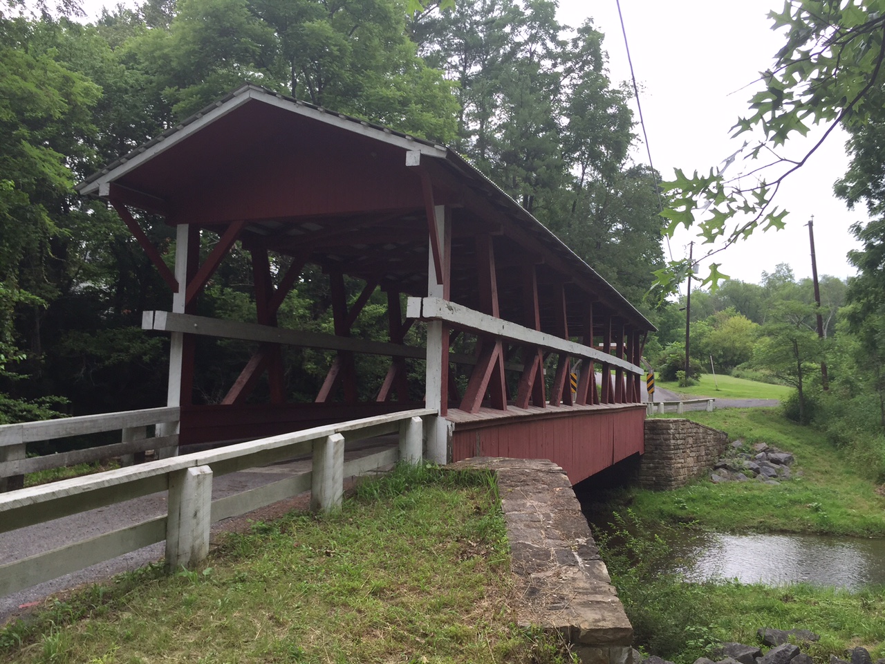
Once onto Rt 96, yet another 2.5 miles just before entering New Paris (“Named for the Capitol of France”) we came to the Cuppett Covered Bridge. It is not open to traffic but one needs to just carry the bike over a guard rail and it has good flooring. I biked through it.

Cuppett Covered Bridge

So that was it. From Bridge 3 to 7, we saw five covered bridges in less than nine miles. We also had been trending uphill but one big hill was still to come.

There is a one mile climb from New Paris to Shellsburg. It probably averages 4% for the climb but the steeper sections seem to be in the 6-8% range. Rocky and Ed were on my wheel but I kept a good pace up, for me. Not sure what I was doing but I saw my heart rate in my red zone above 170. Usually only Mt Washington brings that out of me. Then it went over 180. I’m not sure I’ve recorded higher on a bike. But it felt good. And they were no longer on my wheel.

In July last year I went up with Chey Hillsgrove and Chelsea Johnson in more than 10:00. Today I did it in less than 6:00.

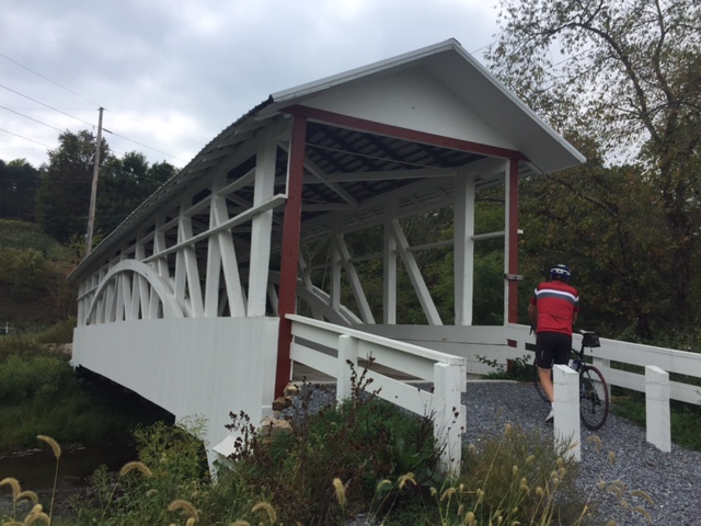
We descended to Shellsburg then went over to Colvin Covered Bridge. Then it was a turn towards home. We passed the Hillegass Camp. Rocky said he spent the summer of his 6th grade year here and learned to swim in Shawnee Lake.

Colvin Covered Bridge

Eight covered bridges in 43 miles. I could have added a ninth (Turner’s) by adding a couple more miles but it is down a heavy gravel road. This route was perfect. The sun came out. Perfect temperature, no rain, eight bridges not four, and good riding partners.


Reflections on the Year – 2015

My Top Ten* Cycling Moments of the Year

In chronological order

1. Ride the Rockies

My third straight year going to Colorado to ride these big mountains. I don’t know why but my favorite climb was the 14 mile dirt road up and over 12,000′ Cottonwood Pass. The legs felt great that day. Best day of the year, in fact. I rode 105 but could have easily ridden 50 more.

HS6

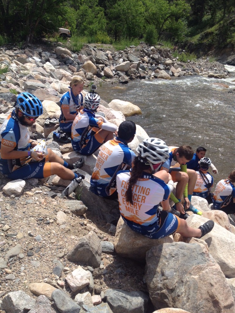
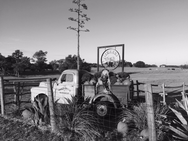
2. Texas 4000

After Ride the Rockies I went up to Estes Park thinking I would run into the Texas 4000, then giving up, then meeting and riding with them.

3. Chey and Chelsea in Altoona

It wasn’t the full Jacob’s Hero Ride that I had hoped but was very glad to have Chey Hillsgrove and Chelsea Johnson join me for two days of riding in Bedford and Blair counties.

Altoona2015_14

4. Early mornings in Delaware

A fun week at a beach house in South Bethany, Delaware, began each morning with a 30-40 mile ride. Delicious!

Canal - South Bethany
Canal – South Bethany

5. Ohio

On my way to Indiana I stopped to ride through Piqua and Lockington, Ohio, two places I lived when I was 9-12 years old.

Piqua34

6. Spokes of Hope – Indy

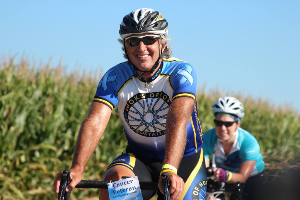
Surprised friends Ken and Cindi Hart by showing up to their Spokes of Hope ride near Indianapolis.

Barry trailed by Julie

7. Trexlertown

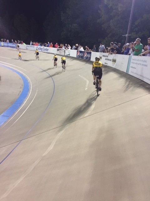
The community of cancer survivors combined with riding on the velodrome in Trexlertown. Bonus ride to Tipton on Saturday.

TT07
8. New French Friends

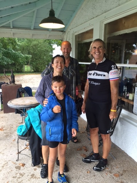
On the W&OD Trail I saw a man and daughter on a recumbent pulled over so I stopped and asked “Where did you start and where are you going?” I was surprised to learn they started in Vancouver and were cycling to Key West. Thomas and Sylvaine Houdy, from Lyon, France, and their children, Theo and Elsa, took 11 months off for a trip of a lifetime.

Cold and rainy near Williamsburg


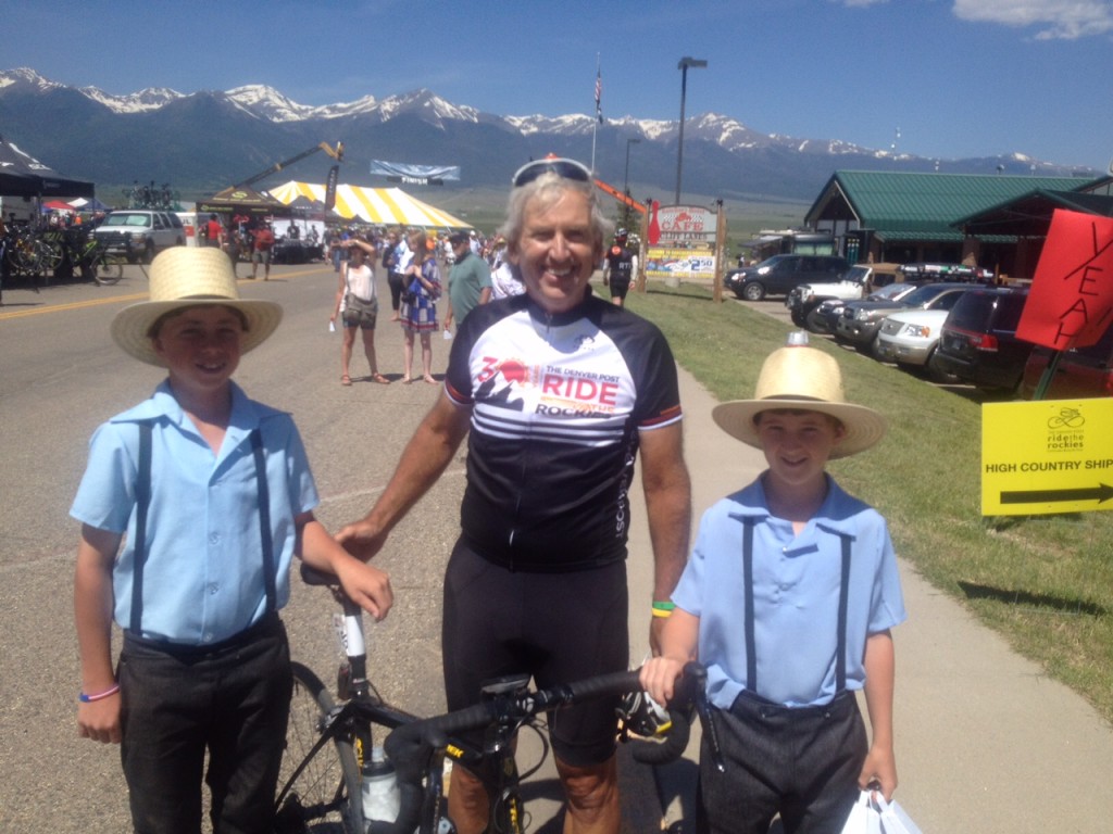
9. Meeting my Amish cousins

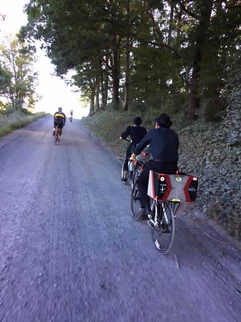
Imagine the surprise on young Amish couple, Keith and Julie Zimmerman, riding their bicycles to church when I slowed down and told her that I was related to her. When she told me her last name was Wenger I knew were were related and tried to explain it to her. I don’t think she believed me.

GF6

10. Livestrong

Brought in Alex Shepherd’s father, Dan, and he and I had a couple days riding before the event then 100 miles fighting cancer.

LS16_25


11. Ride with Dad

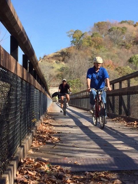
A beautiful Fall day I was able to meet my dad and my sister. At 86 the thought is always there it may be his last ride on a bike.

Pinkerton High Trestle

12. The Governor

A quasi-private ride with the governor of Delaware, Jack Markell. Of course I wore a Texas jersey to a Delaware ride.

DEL_GOV12

2015 was my top mileage year by 1500 miles. I rode 8,078 miles (or 13,000 km because that looks cooler). Using the format for Potomac Pedalers’ Iron Crotch Award (for 5,000 miles):

Total Miles: 8,078  (I prefer 13,000 kilometers)

2015Total

Longest Ride – Crested Butte to Salida, CO over Cottonwood Pass, CO. – 106 miles.

Date on which 5,000 was achieved – Aug. 22 at the Spokes of Hope Ride in Indianapolis

Most miles in a Month — 1,232 (July)

Most miles in a week — 521 During Ride the Rockies

Number of Zero mile weeks – None

Number of 100 mile days – Three

And I will add for 242 rides the average was 33.38 miles per ride.

Most interesting story – My Amish cousins.

And that’s it. Another year. No falls or crashes (always a plus)! It was a good year but I still had 123 days without a ride. Lazy, lazy, lazy. I don’t know what 2016 holds for me. I want to do an epic ride for children’s cancer awareness and research but things have to fall in order. I love France, Italy, and Switzerland but don’t know if I will get back this year. I hope wherever it is I ride safe, make new friends, and most of all, continue to find peace on the bike.

___
*I can’t count

The Wall

ALTOONA, PENNSYLVANIA

It was June, 2008, when I first rode “The Wall” in Altoona. I knew it was special then and in 2009, it became my “escape from cancer” place to ride.

Altoona2015_12
Horseshoe Curve

I have ridden it in spring, summer, and winter – but not fall. Interesting.

Chey, Chelsea, Barry

We had been planning for Jacob’s Hero Ride, a charity ride across Pennsylvania to benefit children’s cancer research and to honor Jacob Grecco. However, that did not materialize. But I promised two of the riders, Chey Hillsgrove and Chelsea Johnson, that we could still ride some in Pennsylvania.

Horseshoe Curve
Horseshoe Curve

Yesterday we rode in the Bedford Valley, now today it was our turn in the high mountains. I mapped out directions to Beale Ave. and Kittanning Point Road and we started riding.

Horseshoe Curve Tunnel

It was an easy ride up to Horseshoe Curve where we stopped for a photo op. Chey and Chelsea hiked the steps up to the curve where the trains go by while I stayed behind with the bikes. They got to ride the funicular back down.

As we rolled out from the visitor center we had to wait at the tunnel for the light. A big truck pulled behind us and we motioned for him to move up. When the light turned green, he went ahead and we followed. He blocked any vision of the other end of the tunnel. Literally, we could not see the light at the end of the tunnel. For 15 seconds or so we were riding in pitch black as our eyes hadn’t adjusted and wearing sunglasses made it worse.

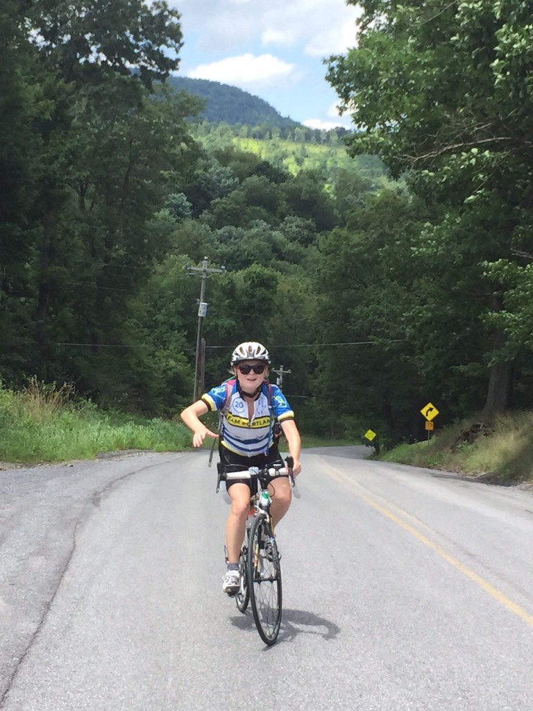
We did great on the climb and then – The Wall. I was worried about Chey’s bike – he was running a 39:23 setup. And Chelsea was simply worried. She stopped to start some music then made it all the way up. Bravo!!

Chelsea Johnson on Valley Forge Road

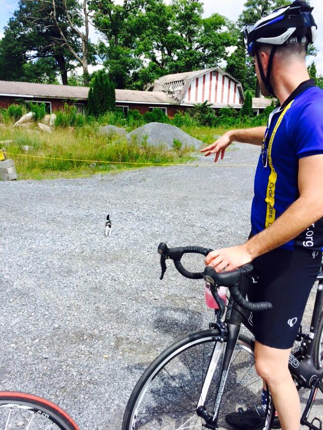
At the top, by the old Forest Zoo, we met a kitten with no collar. It may have been a feral kitten and I couldn’t quite tell if it wanted to be friendly with us or attack us. We left.

Credit: Chelsea Johnson

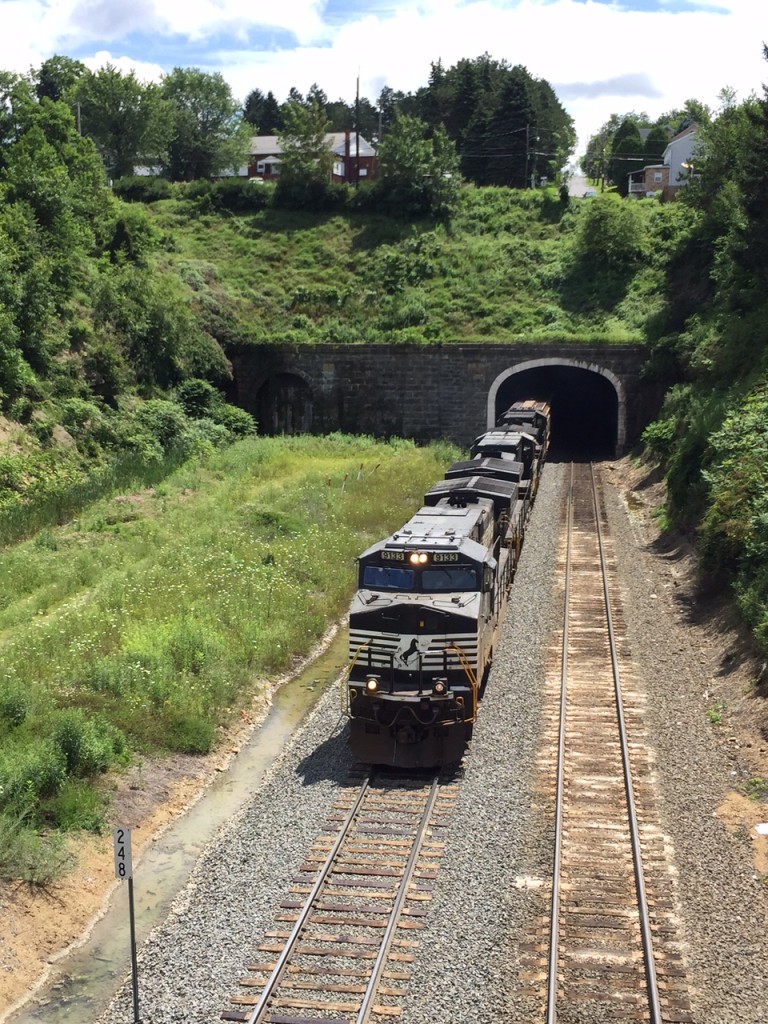
We went down into Gallitzin and viewed the tunnels where the trains headed to or coming from the Horseshoe Curve pass through.

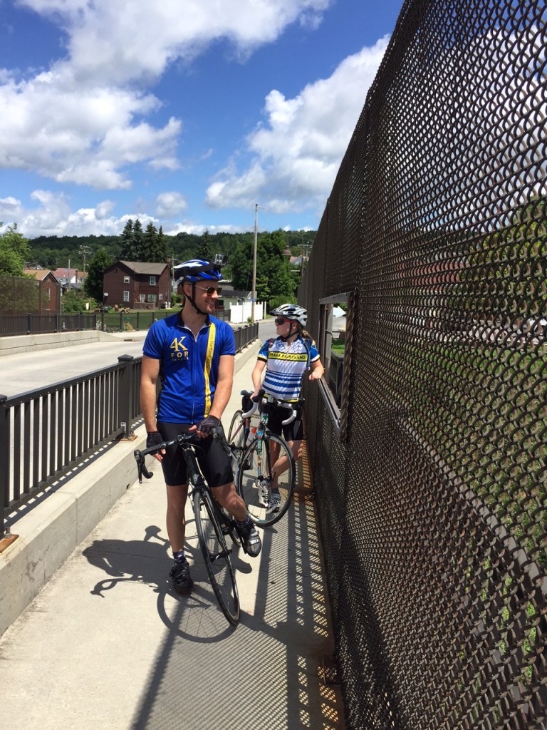
Chey and Chelsea on railroad bridge

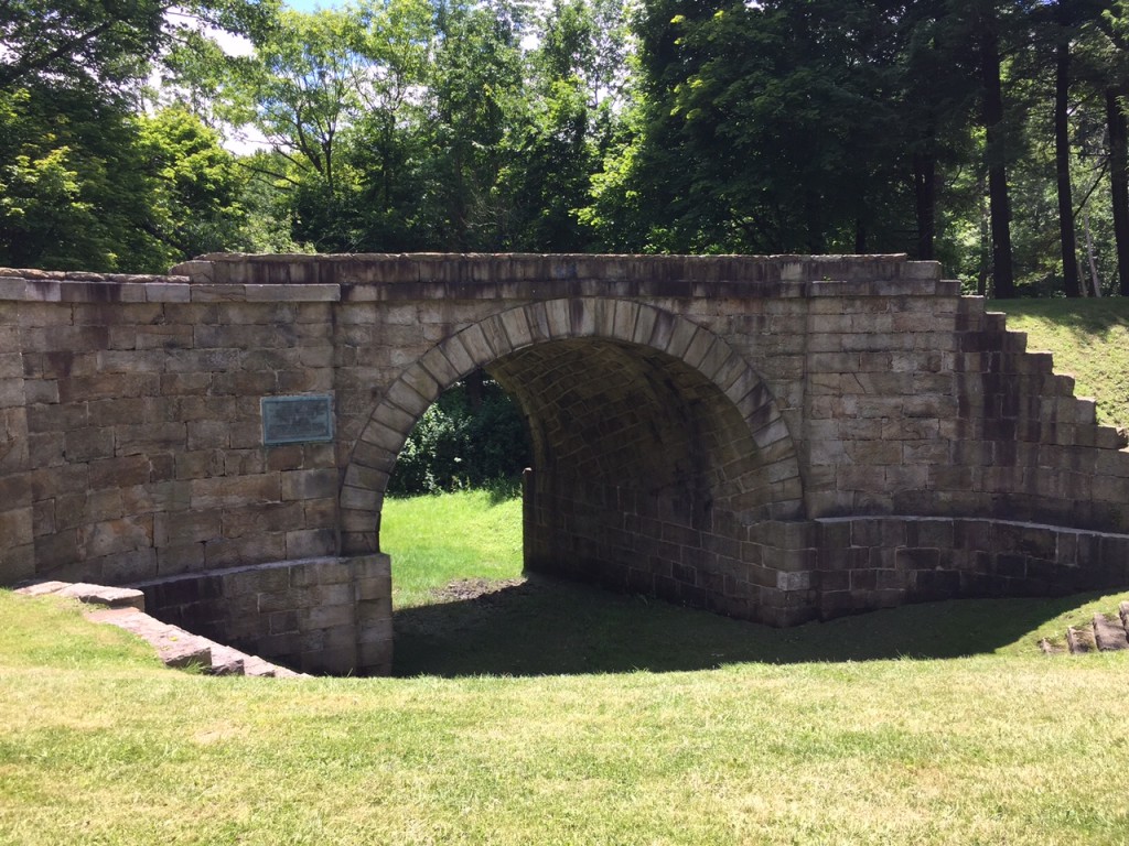
Then we headed through the Allegheny Portage Railroad National Site. We stopped at the stone arch bridge at “Six of Ten.” This was a bridge built for the Hollidaysburg – Blairsville Turn Pike over the Portage Railroad in the 19th Century.

CSX Train in Gallitzin Tunnel

The descent down Old U.S. 22 was great and we turned off onto Foot of Ten Road then onto Valley Forge Road. I had ridden Valley Forge Road two to three times prior but always in the other direction. This direction was definitely harder. There were two steep hills in succession.

Stone Arch Bridge
Stone Arch Bridge

It was only one mile to the top of the first “boob” (because that is what Chey thought they looked like on the profile – and they did). And it was another mile to the top of the second one with a 14% kicker near the top. And although it was about a two mile descent to Puzzletown, that didn’t seem to be enough to recover.

Chey, Chelsea, Barry

I probably should have read the look in Chey and Chelsea’s faces, but I did not. It would have been good to turn onto Puzzeltown Road and head back towards Altoona. Instead, I made us climb.

We turned onto Old Knob Road. We began a 4.5 mile climb to the top where it intersected with Johnstown Road, aka 164. It started as a low percentage grade climb, mostly 2-3%, but grew as we went.

Chey Hillsgrove
Chey Hillsgrove

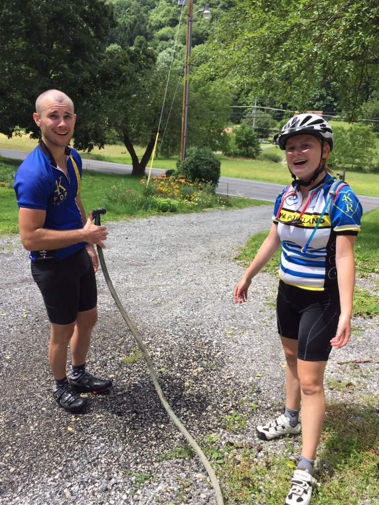
I had slipped ahead of my riding partners and passed a house with two people outside. I greeted them and asked if I could get water. Karen Sell obliged and got me water. Then she saw Chey and Chelsea too. She got us all water and offered a water hose to cool down with. I cannot imagine finishing the day without this water stop.

Chey and Chelsea
Chey and Chelsea

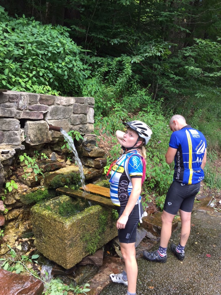
As we went up the road, again I pulled ahead. And then I saw it – a natural spring on the side of the road. Acting like a child, I put my head under the cold water. Three times. I waited for Chey and Chelsea to enjoy it too.

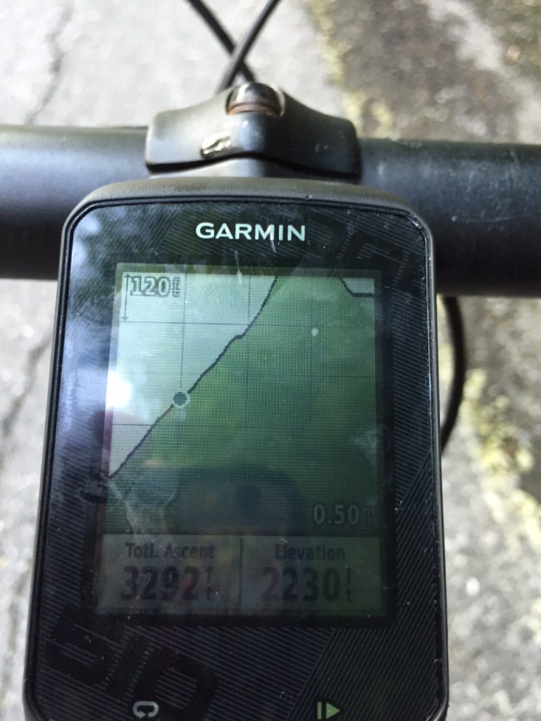
Garmin
Garmin

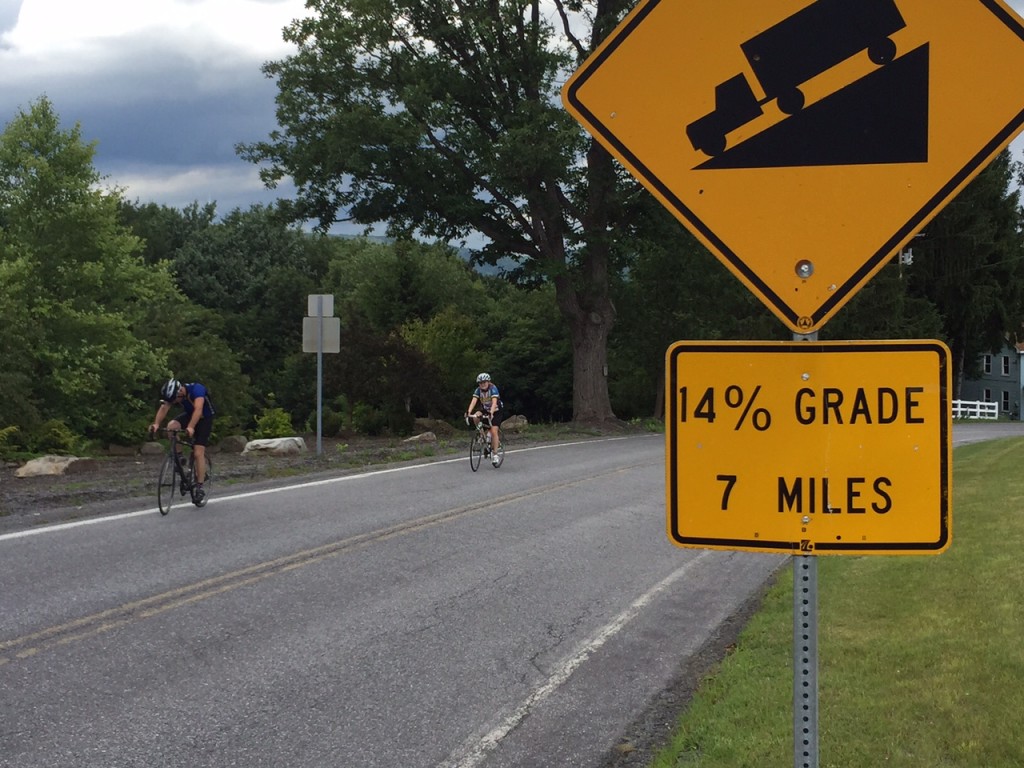
As we continued I again pulled ahead. I looked at the profile on Garmin of the route I mapped and it wasn’t pretty. It kept going up and I knew near the end it really ramped up – to at least 14%.

Chelsea and Chey at spring

I arrived at the top and waited. I talked to a woman across the road. I talked to drivers who had come up the road. One told me my friends were “just around the corner.” I descended almost half a mile to find that corner.

Steeper than I thought

As they reached the summit we heard thunder and saw lightning. Oh oh! But we had a seven mile descent to East Freedom. We could see the mountains where it was raining but managed to avoid it. Until..

…We reached East Freedom and the skies opened up. I rode ahead hoping Chey and Chelsea would follow. I knew there was a Sheetz just ahead where we could seek shelter.

Chey and Chelsea
Chey and Chelsea

We got in and Chey and Chelsea ordered real food. I grabbed a Snickers and Chelsea chastised me about getting real food. I told her a Snickers was real food – hadn’t she seen their commercials?

It was storming and I didn’t see the need to expose three of us to lightning. I offered to ride back to start and get the car. Chelsea and Chey readily agreed.

I started out to find Reservoir Road – which was closed. It was barricaded and I didn’t see it in the rain. I went ahead to Plum Creek Road and hoped it would take me there. I checked my maps and knew I had to retrace my route. Damn. I just added three miles.

In fact, without worrying about other riders, I probably should have found Rte 36 which was the shortest way back. But I still don’t know how safe it was. Especially in the rain.

I was in and out of two more storms before reaching Altoona. But I made it back safely, retrieved the car, then retrieved Chelsea and Chey from Sheetz in East Freedom and we all headed back to Maryland, Delaware, and Virginia.

I am proud of my friends’ efforts today. It took longer than we planned but we enjoyed the Horseshoe Curve, the Gallitzin train tunnels, talking to a woman about the Portage Railroad, and having Karen rescue all of us with a water stop.

Barry after a climb
Barry after a climb

I had not ridden this direction before, and if I had thought about it more, we would not have gone in this direction. I made the decision in part because I wanted to tackle The Wall first while the weather was good.

But it comes down to paint on the road. Even in the mountains, these roads kick up, but if they have paint on them (lane markings) they rarely go beyond 12% and usually no more than 10%. Johnstown Road (164) out of East Freedom is a road with paint. We rode down it. Likewise, Old Rte 22 is a road with paint. We rode down it. (I have ridden up them before.)

The back country roads don’t have paint. They’re not graded for heavy traffic. Glenwhite Road (Horseshoe Curve), Valley Forge Road, and Knob Run Road don’t have paint. Or if they do they just have center line paint and not edge of road paint. They also have ramps of 14-19% grade. We rode up those. But now I know – it’s about the paint.

Correction: See that 14% grade? It has center yellow line paint. A major road. Yikes!


It was a tough day. But we all made it. And had fun.

Covered Bridges

BEDFORD, PENNSYLVANIA

It was bittersweet day as we had been planning for Jacob’s Hero Ride across Pennsylvania for children’s cancer research and to honor Jacob Grecco. Although that didn’t work out, I was able to bring a couple riders on the team, Chey Hillsgrove and Chelsea Johnson, to Pennsylvania for some riding.

I promised them mountains then delivered bridges. Without a word (at first) about my goal, we headed up Business U.S. 220. I mapped the route, loaded it to my Garmin, and off we rode. I really only really knew the last 10 miles of the 50-mile route – the run-in back to Bedford.

I had planned to start at Old Bedford Village, where we saw our first covered bridge, but there was an admission fee of $11 per person and I wasn’t sure we could leave the car there without admission. We parked at the Fairfield Inn (with permission).

The first four miles consisted of rollers then we hit a nifty two-mile climb. I didn’t know it was here but it was very nice. I told them we weren’t riding in the mountains, and we weren’t, but I’m not sure they believed me.

IMG_1243

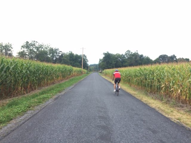
We rolled through Osterburg and out into the country. Chelsea seemed to love riding among the corn then my GPS beeped for an upcoming turn. As I looked at the upcoming left turn I saw it – the first covered bridge.

Bowser Covered Bridge

We stopped and took it in. And although it was no longer in service, we rode across the Bowser Covered Bridge.

Chelsea crossing Bowser Bridge

Snook's Covered Bridge
Snook’s Covered Bridge

We didn’t travel much farther until we found Snook’s Covered Bridge followed by Kniseley Covered Bridge. Here we stopped for a brief water/snack break.

Kniseley Bridge
Kniseley Bridge

Ryot Covered Bridge
Ryot Covered Bridge

And so it went. We stayed mostly in the valley and visited covered bridges, the next being Ryot Covered Bridge. Chelsea said she would call it the bridge ride and eventually I told her she could call it the Coverage Bridge Ride.

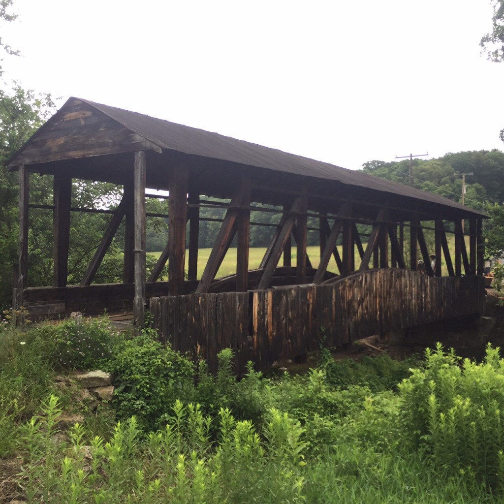
Cuppet Bridge
Cuppet Bridge

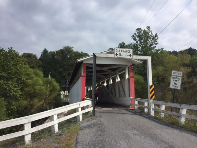
We passed the Cuppet Covered Bridge just off the side of Pa. Rt. 96. It is very weathered, unpainted, and looks to be in need of repair but there were some people who looked like they were working on it.

As we entered New Paris it started raining. I stopped to put my valuables in a Ziplock bag.

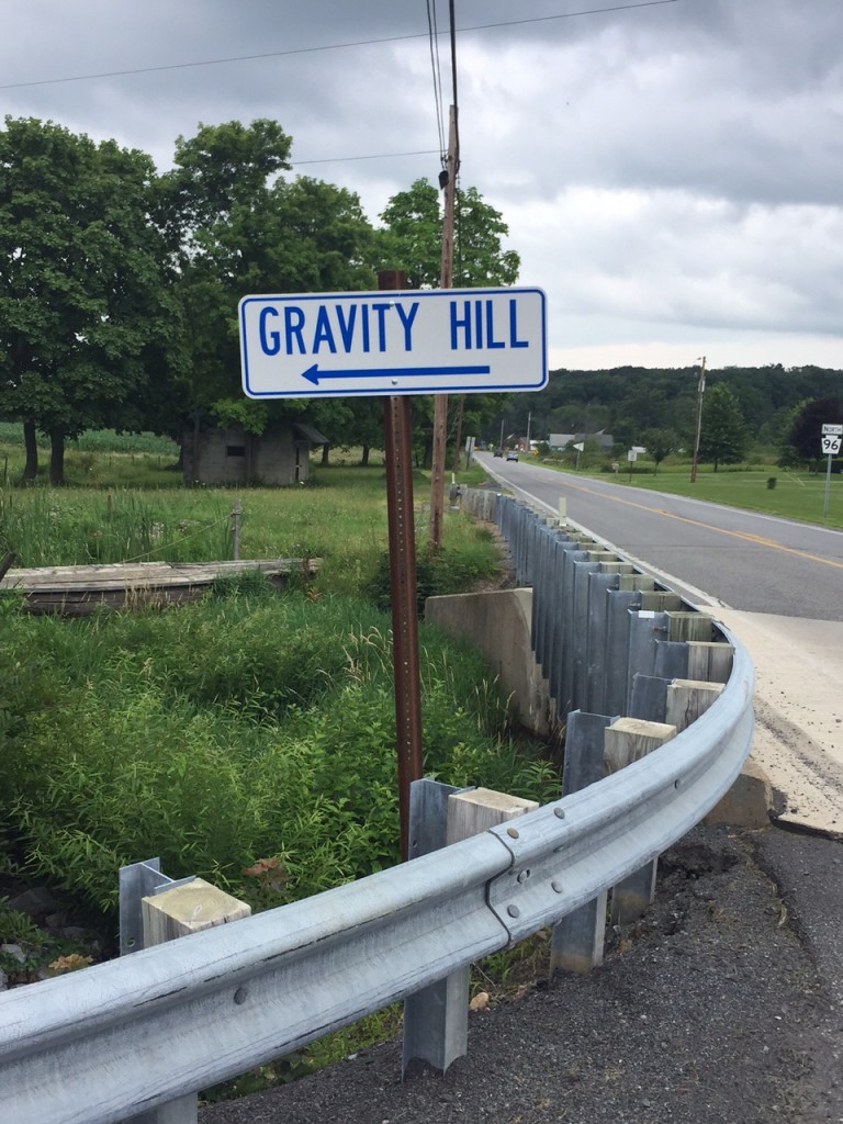
A real sign to Gravity Hill

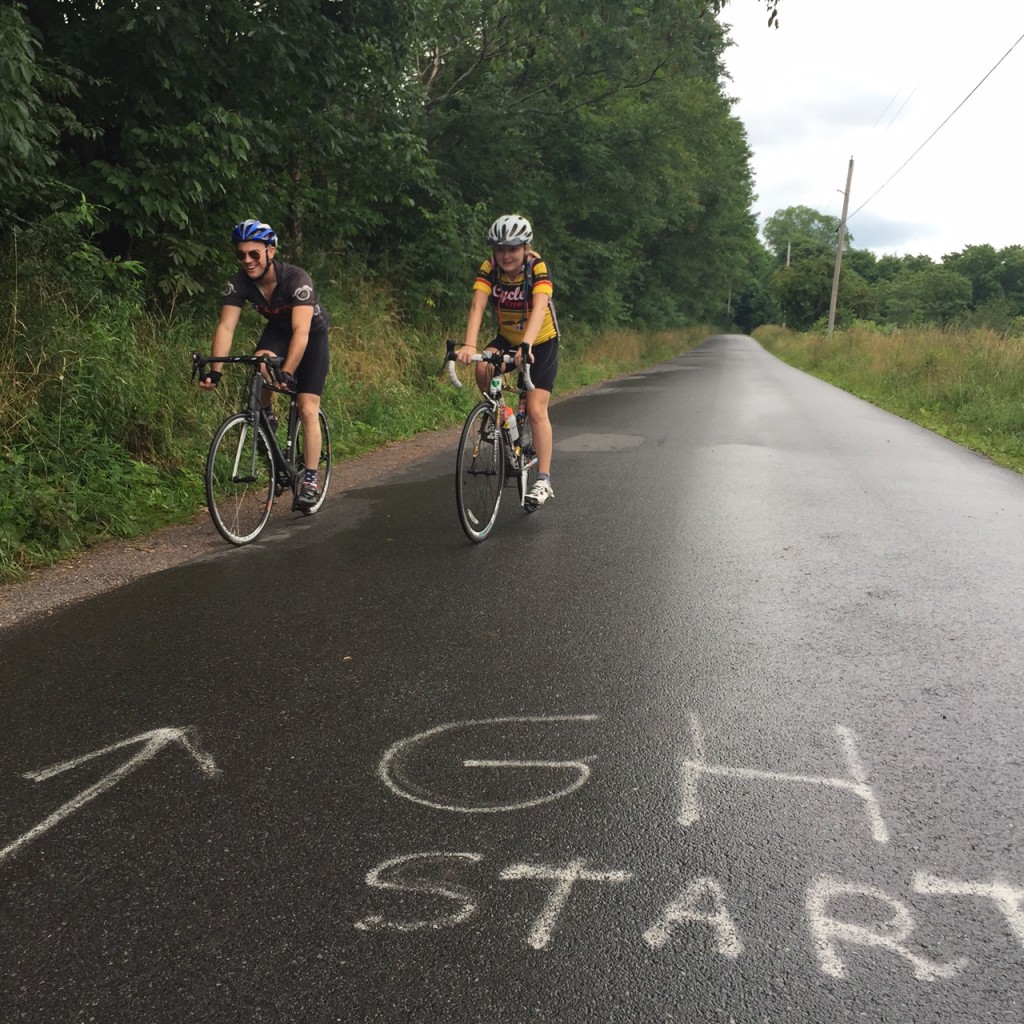
After New Paris headed south on Pa. 96, we turned right and started a 2 1/2 mile climb in the forest. It wasn’t too difficult although we were climbing. And I saw painted on the back of a road sign “G Hill..” Chelsea asked “Did that say hill?”

Chey and Chelsea ready to turnaround on Gravity Hill

We got to a false flat and I saw painted on the asphalt, “GH End.” I then had to find “GH Start” which I did. Confused, Chey and Chelsea looked at me and I explained we could coast up Gravity Hill.

Chelsea and Chey
Chelsea and Chey

I didn’t get it and still don’t. This is a Bedford County Tourist attraction but there’s nothing there other than a section of asphalt. No souvenir stand selling “I survived Gravity Hill T-shirts.” Just some paint on the road. After coasting uphill, we headed back to Rte. 96.

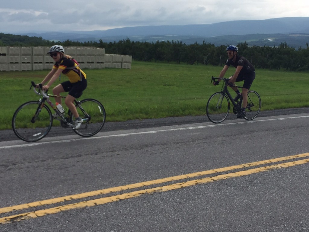
Headed to Shellsburg, but out of the rain, we hit a climb just over one mile long. No, we weren’t in the mountains – just Pennsylvania. The view from the top was great but we were in a light rain and I couldn’t capture a good photo moment. We laughed about an orchard selling “Transparent apples.” How would you know how many you bought if you can’t see them? OK, that was dumb.

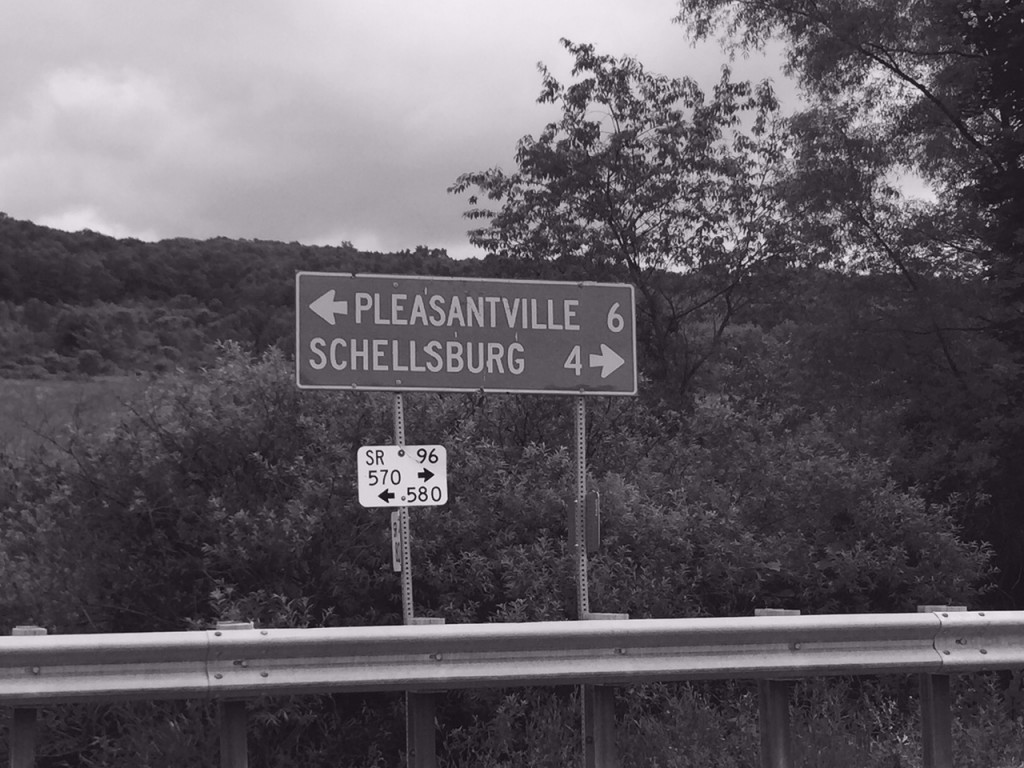
The sign for Pleasantville, was appropriately, black and white

(White Transparent – also known as Yellow Transparent in the USA – is an early-season cultivar of apple which is usually used for cooking due to its sharp taste.  Source: Wikipedia)


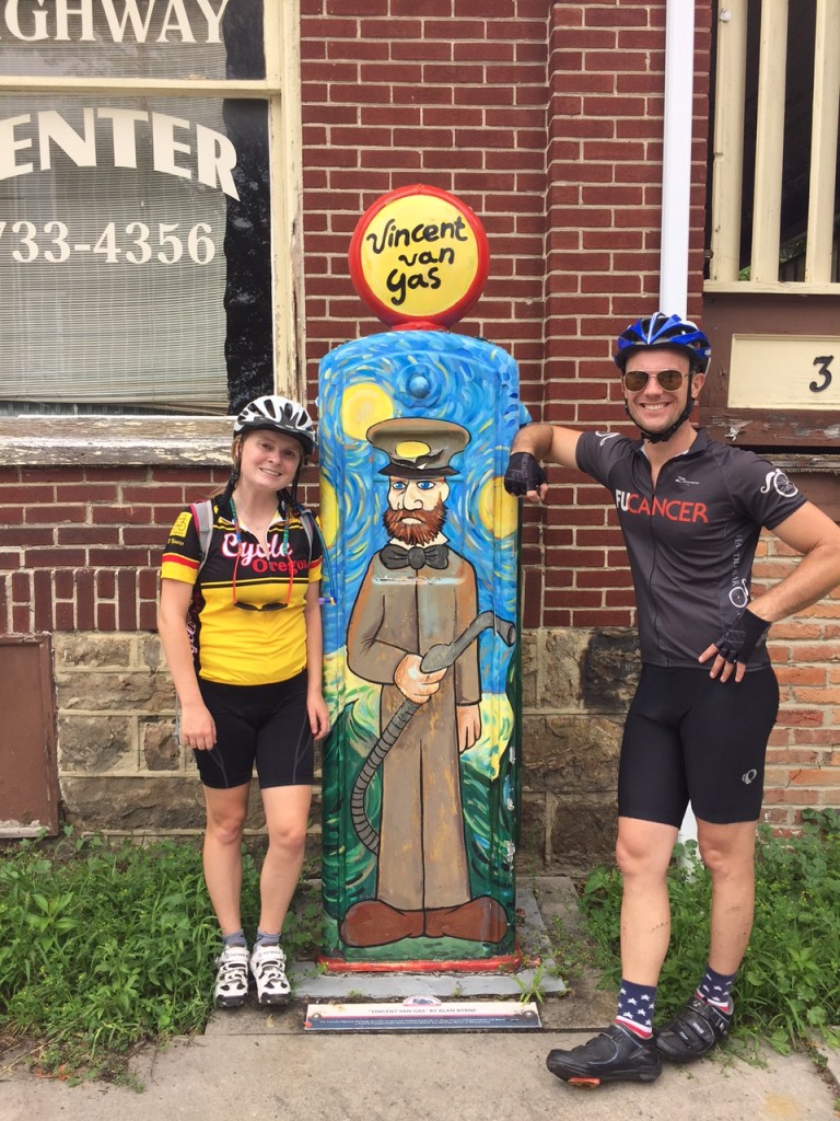
Vincent Van Gas
Chelsea and Chey with Vincent Van Gas

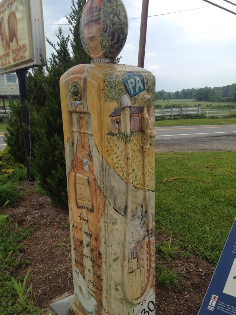
We stopped briefly in Shellsburg and admired Vincent Van Gas, a 1930s gas pump artfully painted in 2008 to celebrate “Pennsylvania 250.” We left and headed south finding Colvin Covered Bridge. By this time, Chey and Chelsea had quit taking pictures of bridges.

Chelsea Johnson
Chelsea Johnson

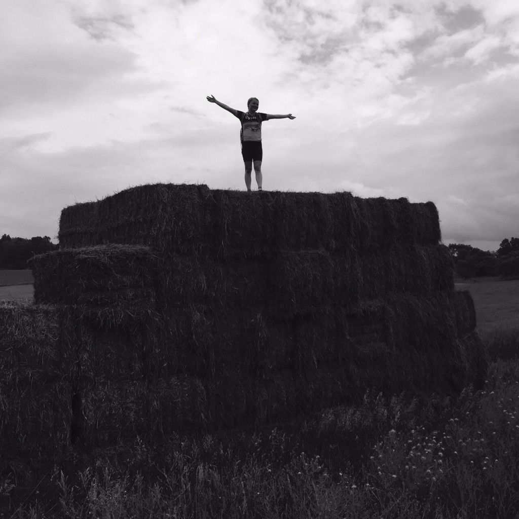
Out in the country Chelsea saw some huge bales of hay which she had to climb. And why not, right?

Chelsea Johnson
Chelsea Johnson

We came to Pa. Rte 31 which is signed as Pa. Bike Route South. It has about a two-foot shoulder which, mostly, was enough. But then the rain. It opened up on us and we got soaked. But we were in it for no more than three minutes.

Colvin Bridge
Colvin Bridge

We slowed for a minute alongside the rode and I pointed out a gravel road to Turner’s Covered Bridge off in the distance. They told me they would wait for me if I wanted to go look at it. Anyone getting tired? Anyone? We rolled on.

We followed 31 back to US 30. I pointed out we passed the road to Herline Covered Bridge. I don’t think anyone heard me. We could have crossed it and come back and continued with a steep climb to US 30. But best to continue the shortest way back.

Just outside of Bedford we turned on Weber Lane and took it over to Business 220. There was a bit of a ramp back up to 220 and Chelsea walked the last 10 yards saying “I can’t believe I have to walk this.” I think she was caught out in the wrong gear. It happens.

Tired
Tired

We arrived back, maybe a little tired, and a lot wet. Time for refueling before tomorrow’s ride.


A day of bridges was wonderful. The rain, not so much, but mountains tomorrow!

Ligonier the Long Way

LIGONIER, PENNSYLVANIA

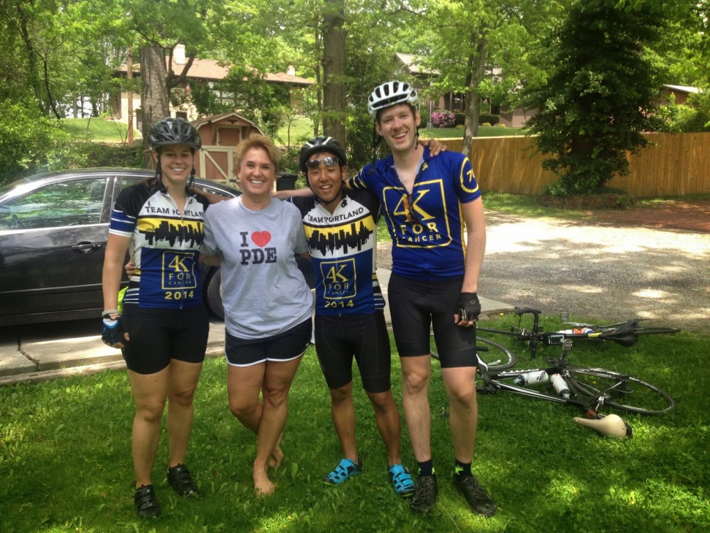
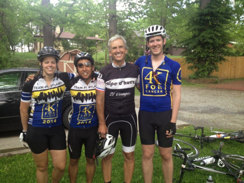
I suggested to (encouraged, begged) Team Portland that the best cycling route from Bedford to Ligonier would be US 30. That route is less than 48 miles with 5,000′ of climb. I was eating breakfast with my parents when Aaron Hoxworth texted me and told me they were already wheels down and headed for Rte 31 and not Rte 30.

Abandoned Storyland

Out the door I got a boost from my dad as we drove to the end of Longview or the Seven Mile Stretch on US 30 and began my day. It was chilly with some rain in the air. I headed down the mountain to Shellsburg, stopping to take pictures along the way. I rode through Shawnee State Park and got on the road behind the cyclists at first catching four girls, er, young women.

Shawnee State Park

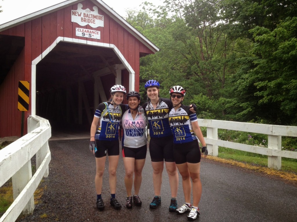
Approaching New Baltimore they at first continued straight on 31. I saw the chalk on the road for a turn and called them back. It wouldn’t have been a disaster had I not been with them. Pa. Bike Rte S leaves Rte 31 for a bit but does come back into it. They would have had much of their climbing on the busy Rte 31. But if they had a check point in New Baltimore they wouldn’t have passed it.

It’s about one mile farther to follow the bike route (8 vs 7) up the mountain but the difference is enormous. Rte 31 is a busy road which climbs and descends at the same time. It kicks your butt. The bike route, once the climb begins, continues climbing. It is 7.6 miles with 979′ of gain (2.4%) to where the routes intersect (not the top of the mountain). Rte 31 (Glades Pike) is 6.7 miles with 1273′ of gain (3.6%). Harder, for sure. It rides much steeper, of course. The climbing portion of the bike route is 4.6 miles (797 or 3.3%) which is still easier. And to the top it is 6 miles at 1340′ (4.2%) but there are sections of 10-12%.

 Kelsey Taylor, Patrica Martinez, Helen Smith, Katrina Farrell

In New Baltimore I called them back to a covered bridge which they missed. Slow down. Take pictures. Enjoy the ride.

Kelsey Taylor

Katrina Farrell had flatted at the base of the climb and the support van swung back. While they were changing the flat (unlike Sunday and yesterday I didn’t help preferring that they gain the experience) I was talking to Chelsea Johnson, one of  the support drivers. I asked for turn by turn directions for the day and after Somerset was told they were headed somewhere (my term) connecting with a Pennsylvania Trail System to Linn Run State Park.

Patricia Martinez

That was neat except it wasn’t. In the early 70s we lived on Linn Run Road. I know the lower section in Rector, Pa. to be good, the section in the state park to be paved but bad (rough pave), and the section above it to be dirt and gravel. Further, I was 99% sure that any trail system was for snowmobiles. Or hunting and hiking. Maybe mountain bikes could get through.

Katrina Farrell
 A slight panic set in as Chelsea asked “what do we do now?” I knew nothing more to tell them to do except ride and see what happens. I decided I would ride to Somerset then back to Friedens and call it a day. I didn’t want to climb and descend on the route I envisioned – a route to nowhere.

Rte 31 was busy with lots of truck traffic. It is the route between two turnpike towns, Bedford and Somerset. Rte 30 has some truck traffic but much less. Rte 31, although signed as Bike Rte S was not an enjoyable ride.

PA Rte 31

Up ahead, the group containing Jamie Roberts, Ki Young Kim, and Dan Johnson had stopped for a rider who needed sagged. She was hurting and openly wrote on her blog that she did no preparation for the ride, in fact, her longest ride ever before Sunday was 12 miles. Be forewarned. I shook my head. Why an organization would simply take someone’s money without ensuring they met training metrics is almost beyond me. Almost.

Our group stopped with them for a necessary hygiene break. But when Jamie’s group, down to three riders, was ready to roll and the four young women I was riding with weren’t — they were enjoying the grass and the shade of the barn they were relaxing next to — I went with the first three.

Jamie Roberts, Betsy Sherry, Ki Young Kim, Dan Johnson

We passed Aaron’s group (flat) and rolled towards Somerset. As we descended into town I had us stop at my sister, Betsy’s, house. I thought we would do a quick photo op outside the house thinking Betsy would not be home but she had just gotten home. She welcomed Jamie inside and Jamie got clean indoor plumbing and ice in her water bottles. We stood in the yard and got to watch the other teams go by. As we rolled out, in last, we all met at Sheetz. My advice had been “never pass up a Sheetz.”

Jamie Roberts, Ki Young Kim, Barry Sherry, Dan Johnson

While at Sheetz the riders’ phones blew up with a group message which basically stated the van went ahead and that there was no road or trail system which the riders had planned on. Ah, Google Maps.

Aaron turned to me and asked if I knew how to get them to Ligonier? Although I had decided to stop in Somerset I thought it best to ride with them to Ligonier.

We went up Rte 985 where miles of construction work was taking place. Although we had been split into groups, we came back together at the work site. I had everyone roll out together as I took them around some of the construction using known back roads. Back on 985 we started to separate so we stopped once more to reconstitute. At this point I told the riders I was going to navigate a little by memory and a lot by feel. We turned left into an unincorporated community (Gray) and made our way over to Rte 30.

One rider was struggling and so we were missing two at this point. From our vantage point, we could see the next turn about 1/2 mile ahead in the valley below. I gave Aaron the simple directions (“turn right then follow the road”) and I dropped back while sending the other 10 riders ahead with Aaron.

I met up with Caitlyn Epps who was sagging the struggling rider. We lost a lot of time waiting and I was convinced that by the time I got to US 30 all the riders would be at the summit. Or over the top. I was surprised that as I climbed I caught and passed five riders. I think a lot of riders were beat up by then riding three days in the mountains.

At the summit I led the first group of four down the mountain. I averaged 37.5 mph for the entire descent. I need to up that. In Laughlingtown riders kept coming so we formed a big group and rolled into Ligonier together.


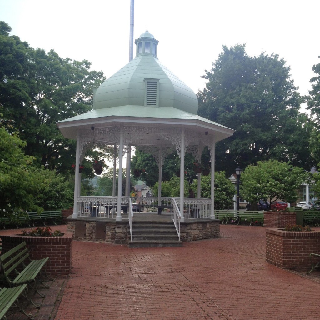
The Diamond in Ligonier

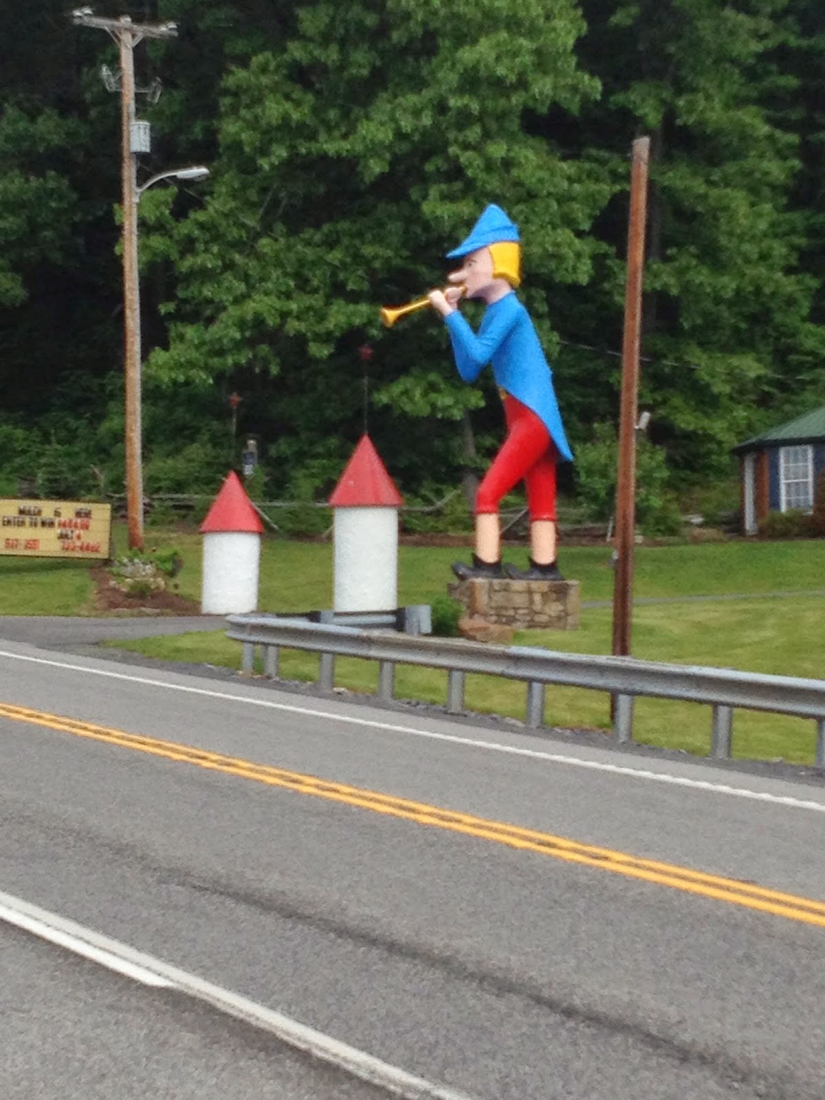
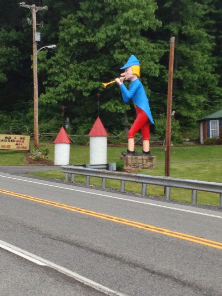
It was a hard day but didn’t need to be so hard. Rte 30 may not look so appealing but in addition to being much shorter, it is full of wonderful things to be discovered. Flight 93 memorial. A 1930s gas pump painted like the Indiana Chief Tecumseh. Another as Vincent Van Gas. The Pied Piper. My mind went to how this could be a scavenger hunt and 20 miles shorter.


Verified by MonsterInsights