ALTOONA, PENNSYLVANIA
It was June, 2008, when I first rode “The Wall” in Altoona. I knew it was special then and in 2009, it became my “escape from cancer” place to ride.
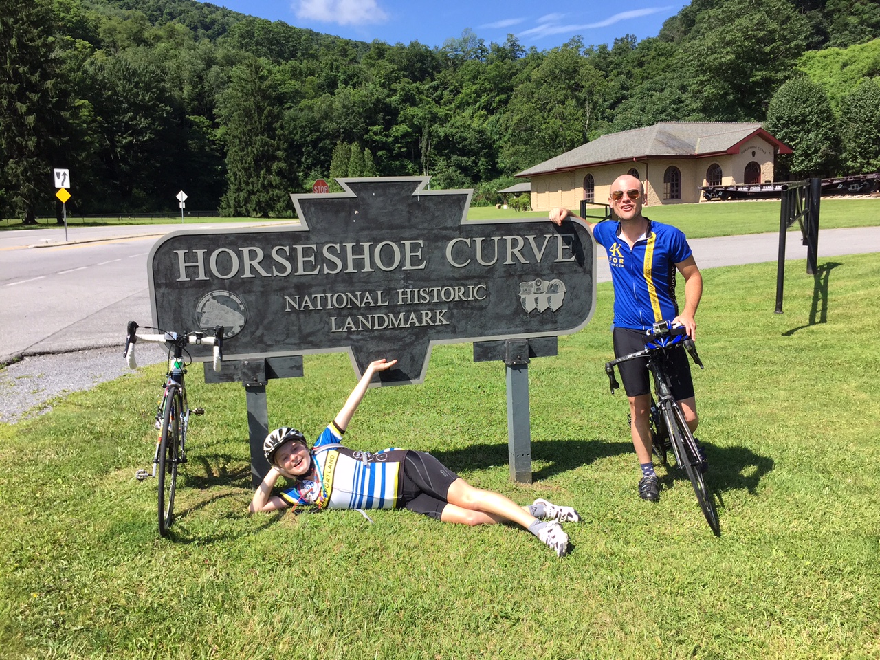
Horseshoe Curve
I have ridden it in spring, summer, and winter – but not fall. Interesting.
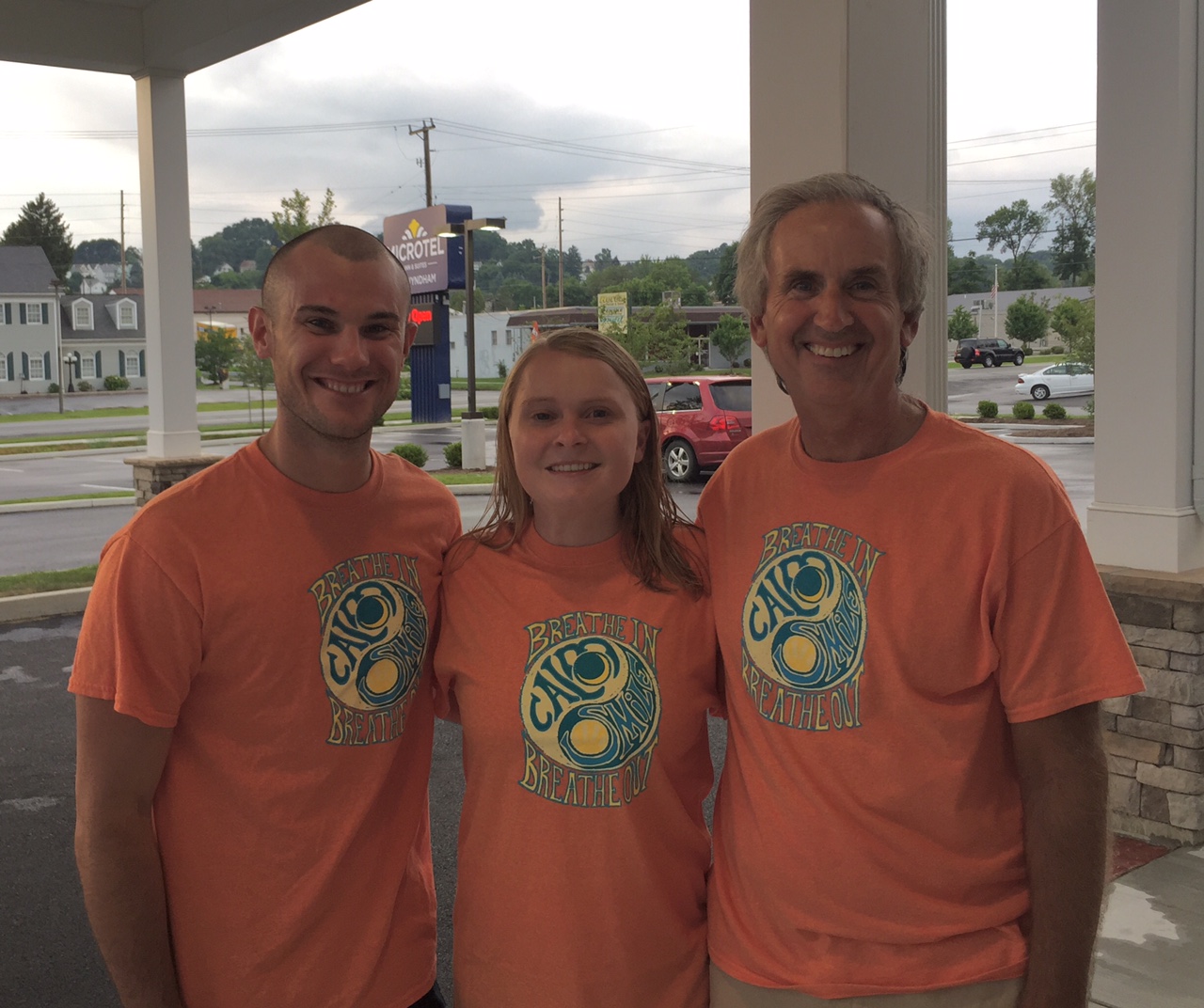
Chey, Chelsea, Barry
We had been planning for Jacob’s Hero Ride, a charity ride across Pennsylvania to benefit children’s cancer research and to honor Jacob Grecco. However, that did not materialize. But I promised two of the riders, Chey Hillsgrove and Chelsea Johnson, that we could still ride some in Pennsylvania.
Horseshoe Curve
Yesterday we rode in the Bedford Valley, now today it was our turn in the high mountains. I mapped out directions to Beale Ave. and Kittanning Point Road and we started riding.
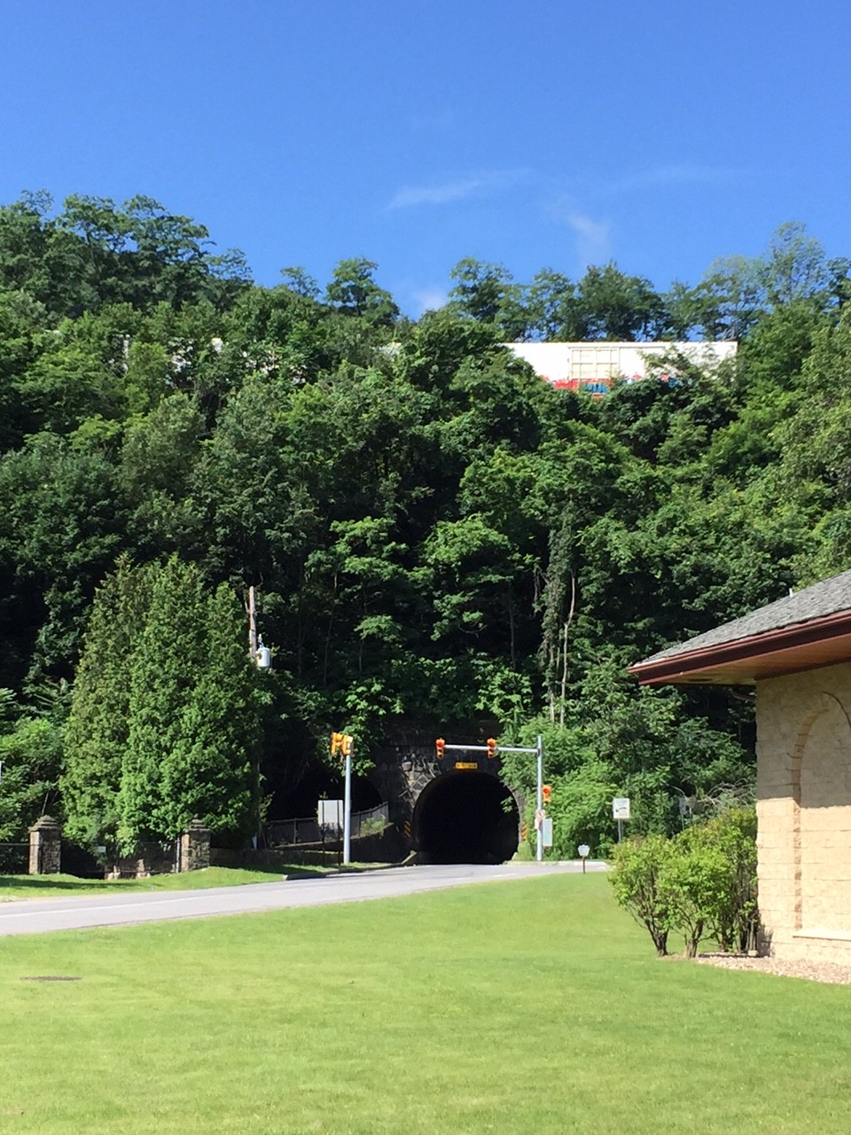
Horseshoe Curve Tunnel
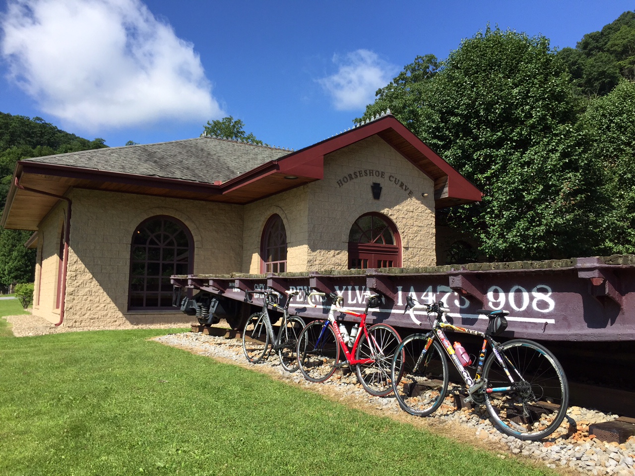
It was an easy ride up to Horseshoe Curve where we stopped for a photo op. Chey and Chelsea hiked the steps up to the curve where the trains go by while I stayed behind with the bikes. They got to ride the funicular back down.
As we rolled out from the visitor center we had to wait at the tunnel for the light. A big truck pulled behind us and we motioned for him to move up. When the light turned green, he went ahead and we followed. He blocked any vision of the other end of the tunnel. Literally, we could not see the light at the end of the tunnel. For 15 seconds or so we were riding in pitch black as our eyes hadn’t adjusted and wearing sunglasses made it worse.
We did great on the climb and then – The Wall. I was worried about Chey’s bike – he was running a 39:23 setup. And Chelsea was simply worried. She stopped to start some music then made it all the way up. Bravo!!
Chelsea Johnson on Valley Forge Road
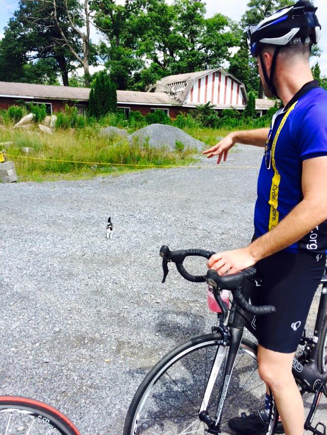
At the top, by the old Forest Zoo, we met a kitten with no collar. It may have been a feral kitten and I couldn’t quite tell if it wanted to be friendly with us or attack us. We left.
Credit: Chelsea Johnson
We went down into Gallitzin and viewed the tunnels where the trains headed to or coming from the Horseshoe Curve pass through.
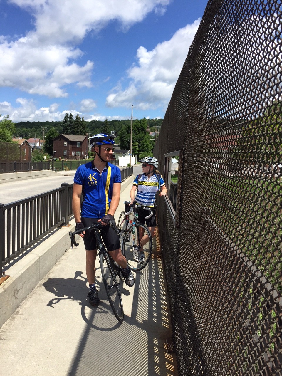
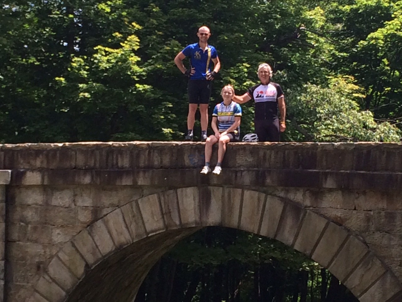
Chey and Chelsea on railroad bridge
Then we headed through the Allegheny Portage Railroad National Site. We stopped at the stone arch bridge at “Six of Ten.” This was a bridge built for the Hollidaysburg – Blairsville Turn Pike over the Portage Railroad in the 19th Century.
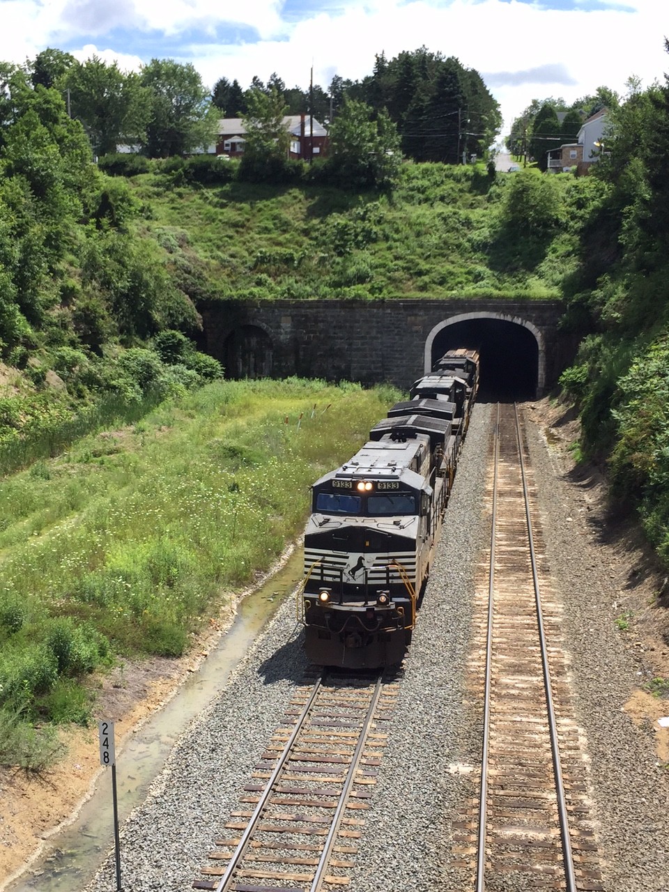
CSX Train in Gallitzin Tunnel
The descent down Old U.S. 22 was great and we turned off onto Foot of Ten Road then onto Valley Forge Road. I had ridden Valley Forge Road two to three times prior but always in the other direction. This direction was definitely harder. There were two steep hills in succession.
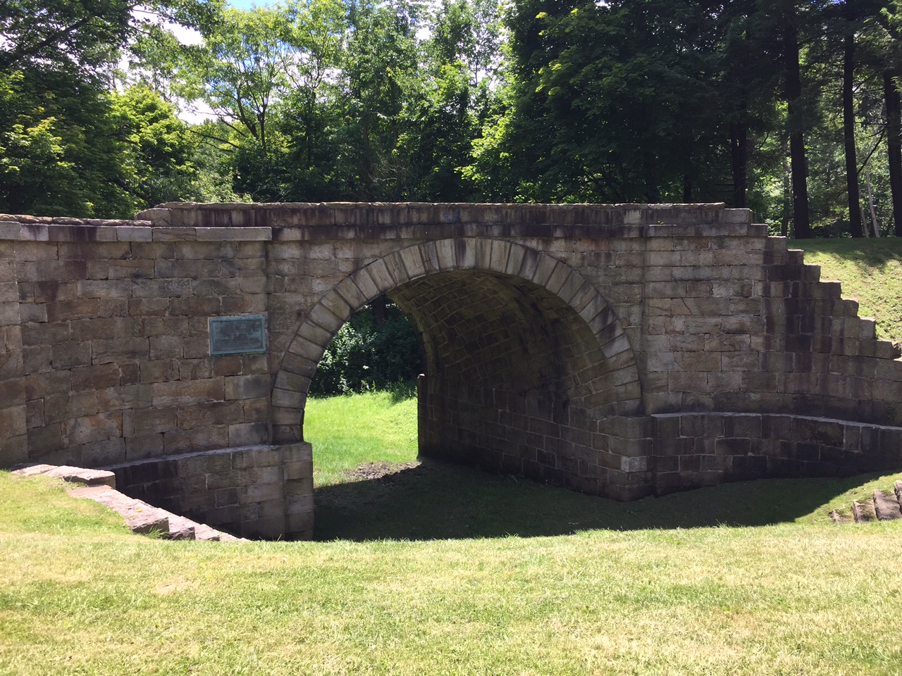
Stone Arch Bridge
It was only one mile to the top of the first “boob” (because that is what Chey thought they looked like on the profile – and they did). And it was another mile to the top of the second one with a 14% kicker near the top. And although it was about a two mile descent to Puzzletown, that didn’t seem to be enough to recover.
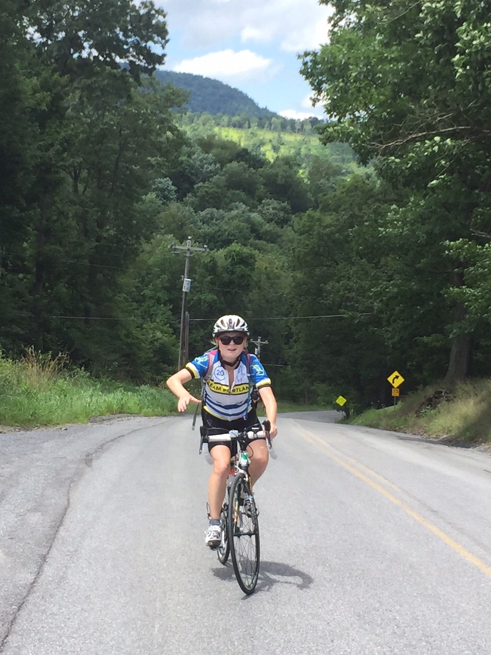
Chey, Chelsea, Barry
I probably should have read the look in Chey and Chelsea’s faces, but I did not. It would have been good to turn onto Puzzeltown Road and head back towards Altoona. Instead, I made us climb.
We turned onto Old Knob Road. We began a 4.5 mile climb to the top where it intersected with Johnstown Road, aka 164. It started as a low percentage grade climb, mostly 2-3%, but grew as we went.
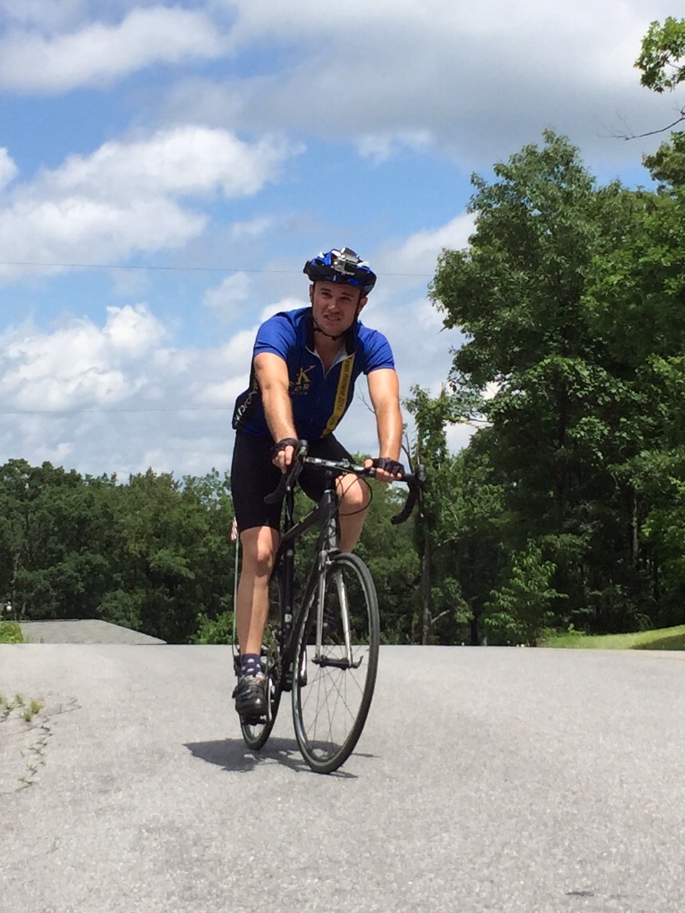
Chey Hillsgrove
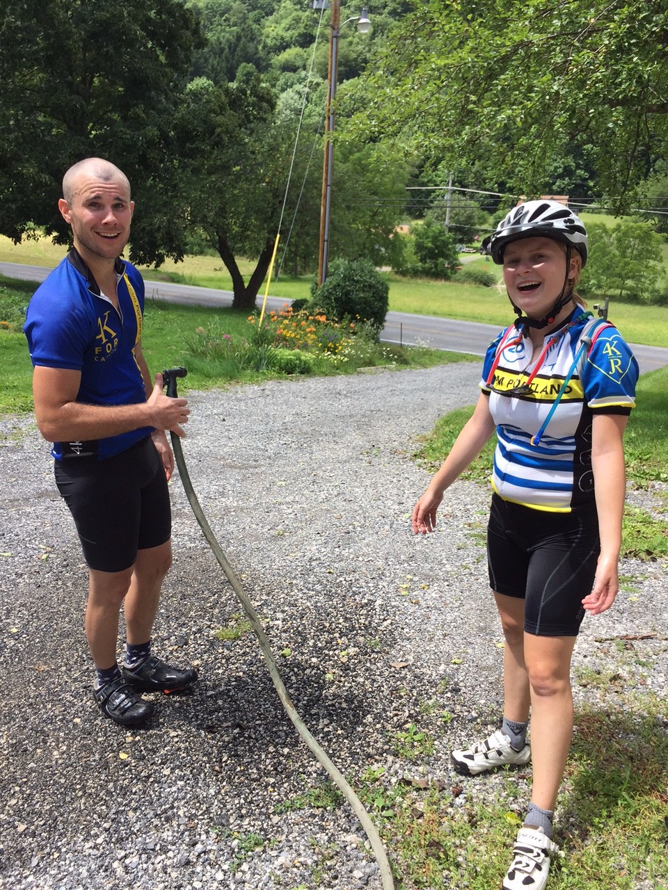
I had slipped ahead of my riding partners and passed a house with two people outside. I greeted them and asked if I could get water. Karen Sell obliged and got me water. Then she saw Chey and Chelsea too. She got us all water and offered a water hose to cool down with. I cannot imagine finishing the day without this water stop.
Chey and Chelsea
As we went up the road, again I pulled ahead. And then I saw it – a natural spring on the side of the road. Acting like a child, I put my head under the cold water. Three times. I waited for Chey and Chelsea to enjoy it too.
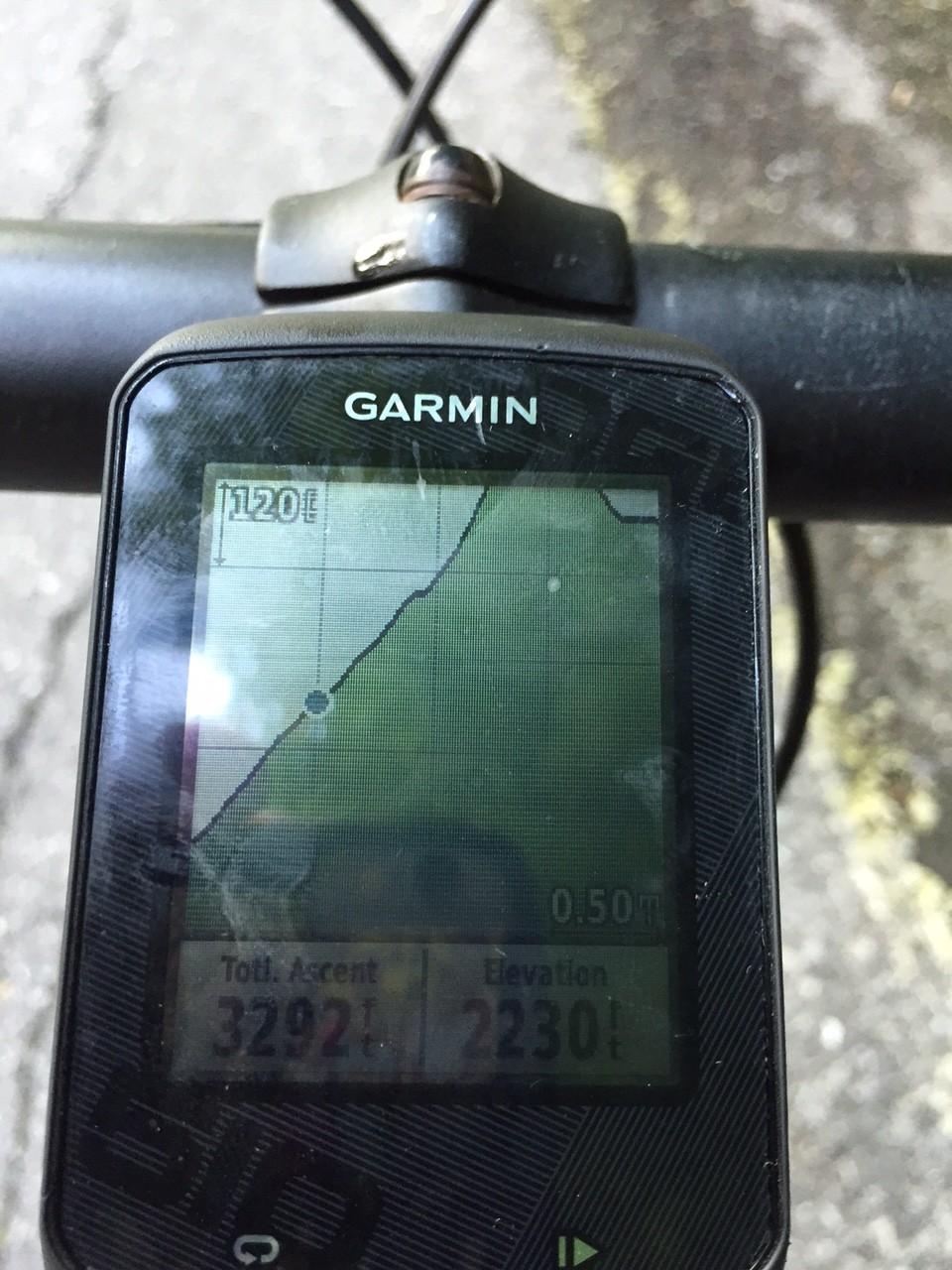
Garmin
As we continued I again pulled ahead. I looked at the profile on Garmin of the route I mapped and it wasn’t pretty. It kept going up and I knew near the end it really ramped up – to at least 14%.
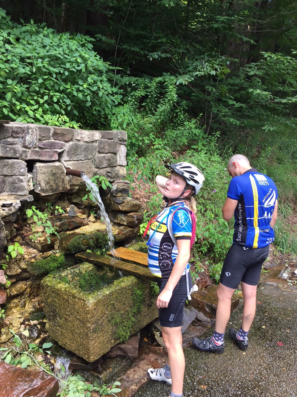
Chelsea and Chey at spring
I arrived at the top and waited. I talked to a woman across the road. I talked to drivers who had come up the road. One told me my friends were “just around the corner.” I descended almost half a mile to find that corner.

Steeper than I thought
As they reached the summit we heard thunder and saw lightning. Oh oh! But we had a seven mile descent to East Freedom. We could see the mountains where it was raining but managed to avoid it. Until..
…We reached East Freedom and the skies opened up. I rode ahead hoping Chey and Chelsea would follow. I knew there was a Sheetz just ahead where we could seek shelter.
Chey and Chelsea
We got in and Chey and Chelsea ordered real food. I grabbed a Snickers and Chelsea chastised me about getting real food. I told her a Snickers was real food – hadn’t she seen their commercials?
It was storming and I didn’t see the need to expose three of us to lightning. I offered to ride back to start and get the car. Chelsea and Chey readily agreed.
I started out to find Reservoir Road – which was closed. It was barricaded and I didn’t see it in the rain. I went ahead to Plum Creek Road and hoped it would take me there. I checked my maps and knew I had to retrace my route. Damn. I just added three miles.
In fact, without worrying about other riders, I probably should have found Rte 36 which was the shortest way back. But I still don’t know how safe it was. Especially in the rain.
I was in and out of two more storms before reaching Altoona. But I made it back safely, retrieved the car, then retrieved Chelsea and Chey from Sheetz in East Freedom and we all headed back to Maryland, Delaware, and Virginia.
I am proud of my friends’ efforts today. It took longer than we planned but we enjoyed the Horseshoe Curve, the Gallitzin train tunnels, talking to a woman about the Portage Railroad, and having Karen rescue all of us with a water stop.
Barry after a climb
I had not ridden this direction before, and if I had thought about it more, we would not have gone in this direction. I made the decision in part because I wanted to tackle The Wall first while the weather was good.
But it comes down to paint on the road. Even in the mountains, these roads kick up, but if they have paint on them (lane markings) they rarely go beyond 12% and usually no more than 10%. Johnstown Road (164) out of East Freedom is a road with paint. We rode down it. Likewise, Old Rte 22 is a road with paint. We rode down it. (I have ridden up them before.)
The back country roads don’t have paint. They’re not graded for heavy traffic. Glenwhite Road (Horseshoe Curve), Valley Forge Road, and Knob Run Road don’t have paint. Or if they do they just have center line paint and not edge of road paint. They also have ramps of 14-19% grade. We rode up those. But now I know – it’s about the paint.
Correction: See that 14% grade? It has center yellow line paint. A major road. Yikes!
It was a tough day. But we all made it. And had fun.
One thought on “The Wall”
Comments are closed.