With Leaves so Thick You Couldn’t See the Trail

RICHMOND, VIRGINIA

DRAFT

This is one of my favorite rides, even though it doesn’t have a ferry. In a nutshell, take the Amtrak from Richmond to Williamsburg and then ride back to Richmond. My bike ($20) cost more than my fare ($12).

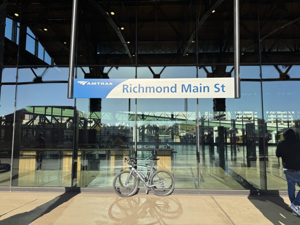
Richmond Main Station

There was a crash on I-95 South near Quantico this morning. Waze took me out to Joplin Road before getting on the Interstate. My ETA for Great Shiplock Park was 9:48 a.m. The train was scheduled to depart at 10:03 a.m.

I passed the Richmond Main Station and saw plenty of parking available but at what cost? I always drive to Great Shiplock Park, a neat little park about one mile from the train station, for free. I arrived and went through my mental exercise. Bike computer, Speaker, Front light, Rear light. Garmin radar (rear). Two bottles. Ice. Water. Food in my pockets. Check air pressure.

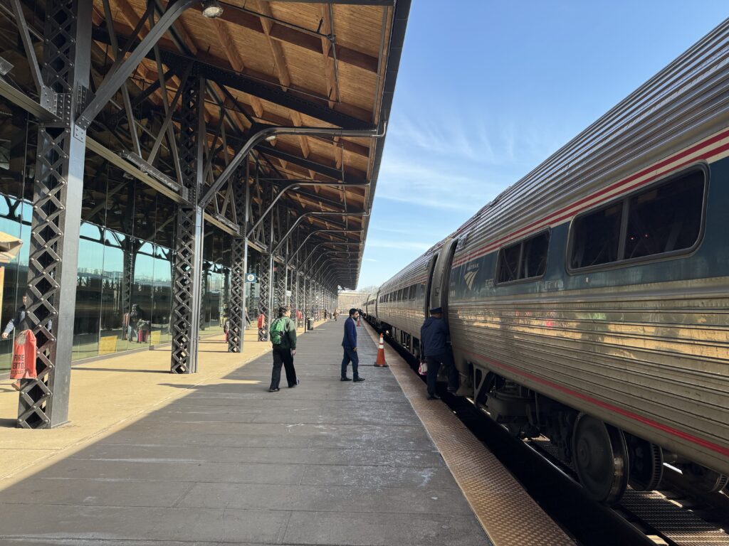
I was out of the lot at 9:55 a.m. to make my 10:00 train. Four minutes and two seconds later I was in the building. Elevator to the second floor and out to the platform.

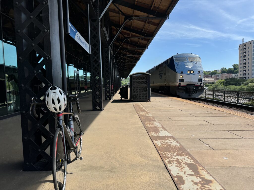
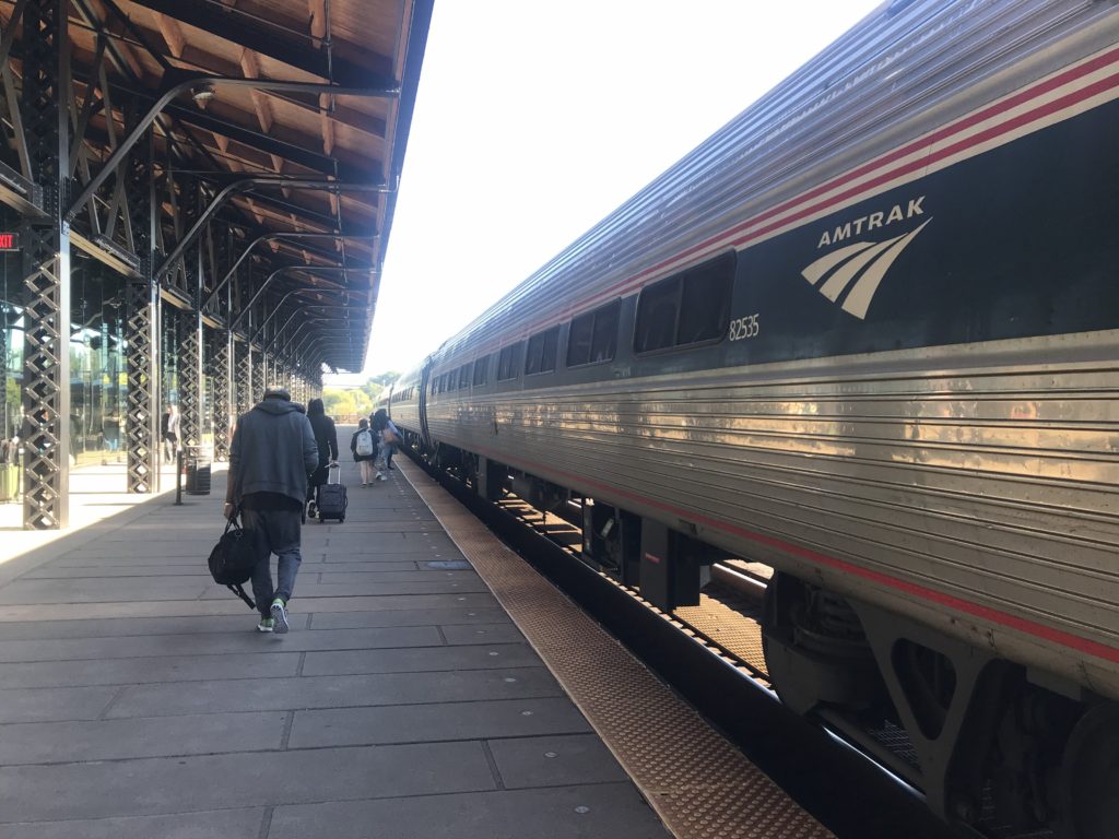
Richmond Main

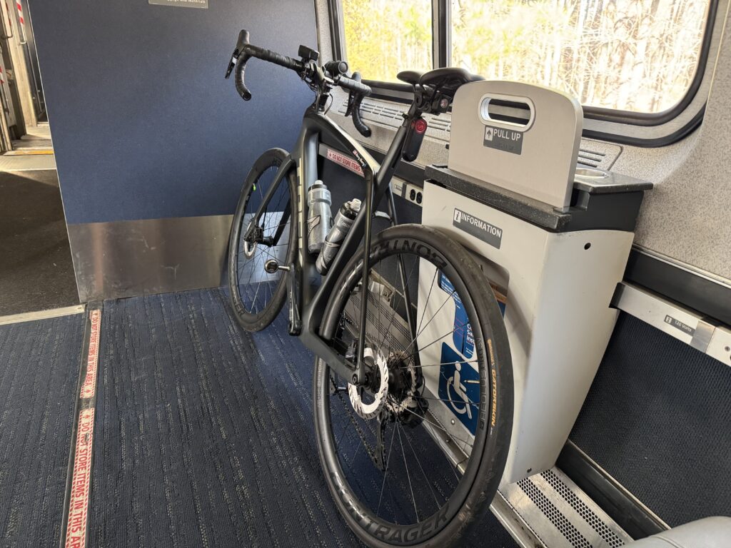
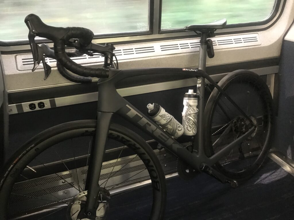
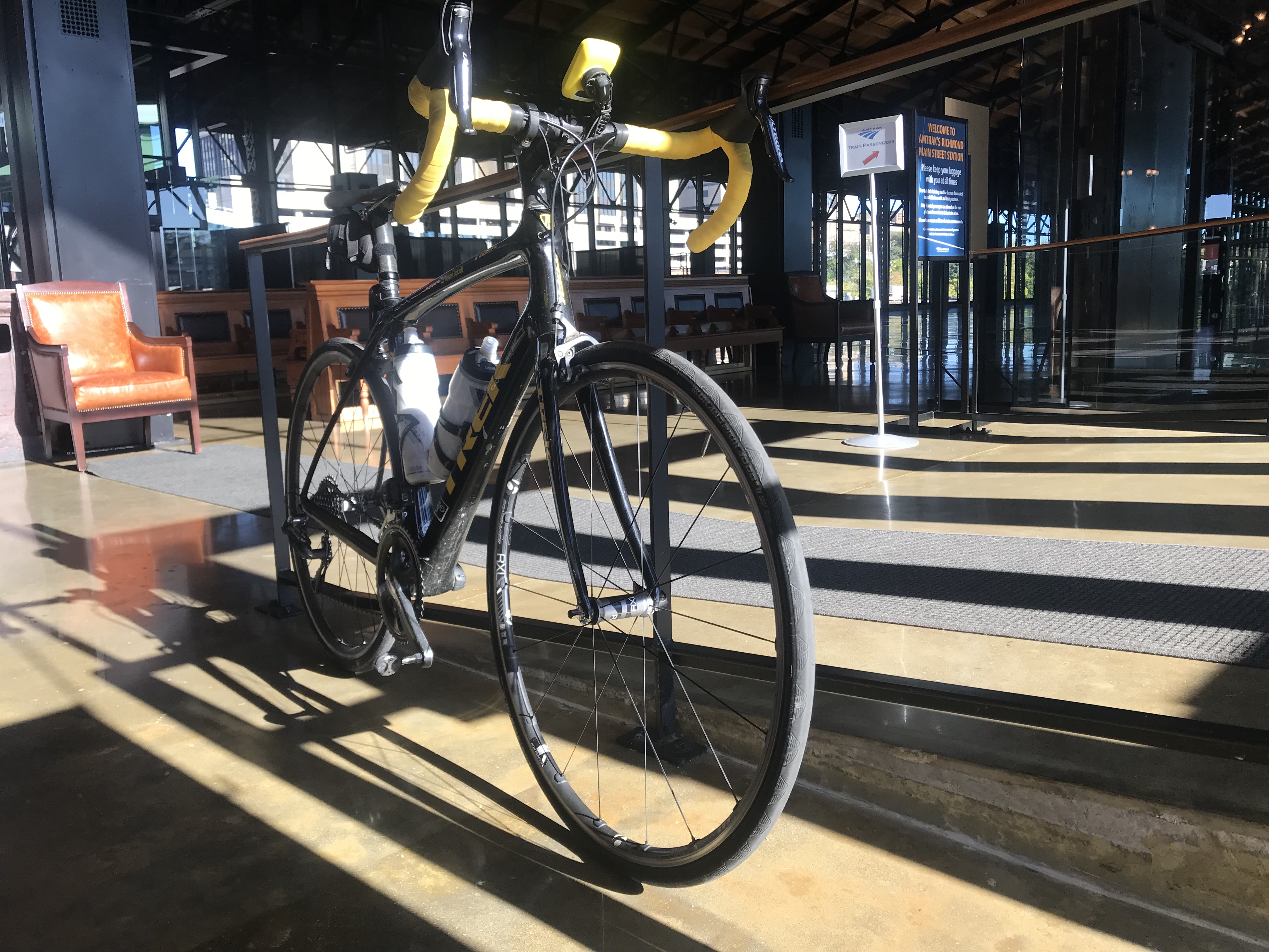
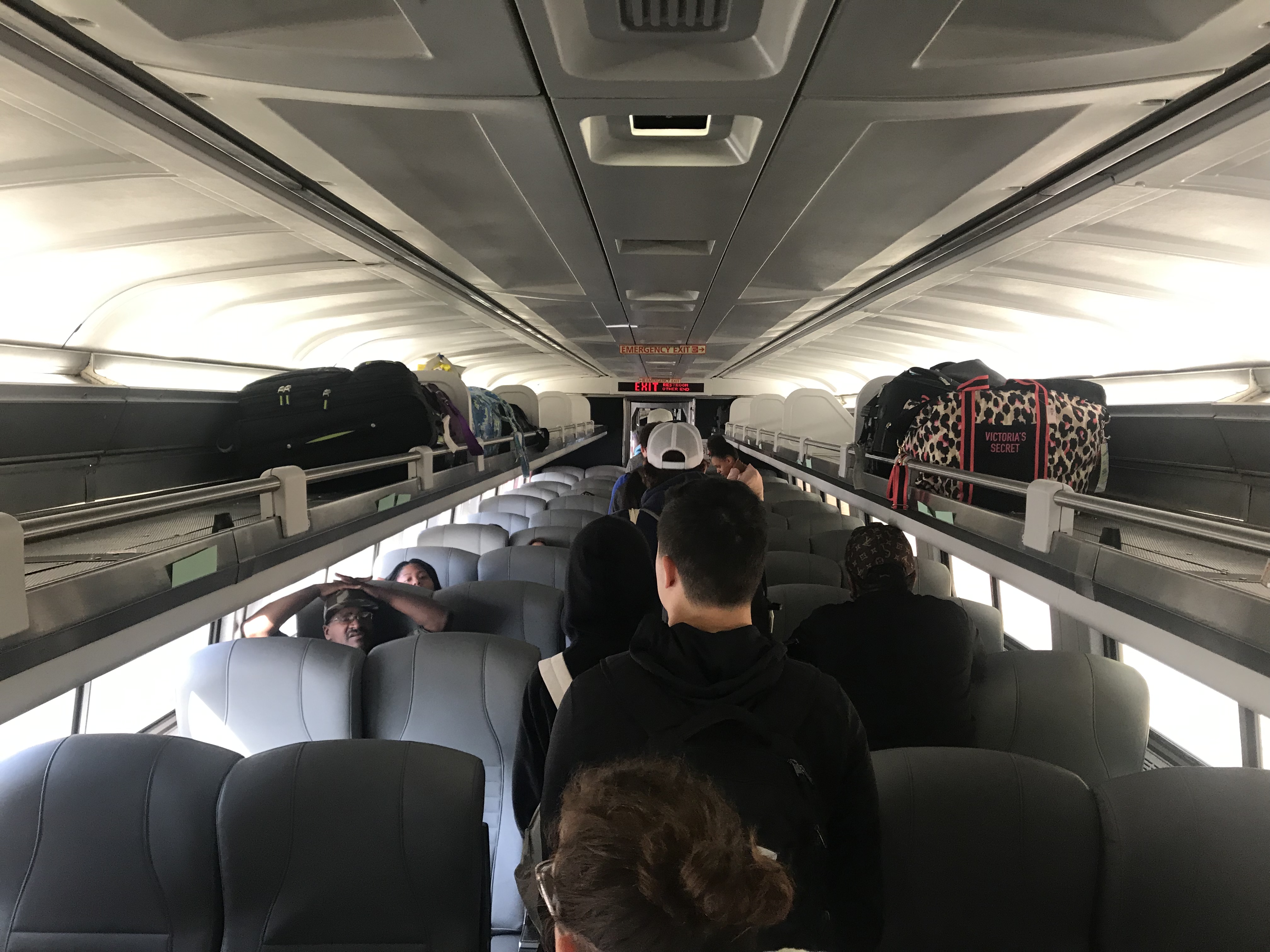
I asked the conductor which car and he said to pick one. I did and they did not have the bike “rack” set up. I leaned my bike on the bulkhead, preferring that to taking off a wheel and hanging it. From Richmond to Williamsburg is one hour and no stops so I knew more passengers would not be boarding the train down the line.

When the conductor came by he didn’t say a word, I suspect he didn’t want to change the luggage rack into a bike rack either.

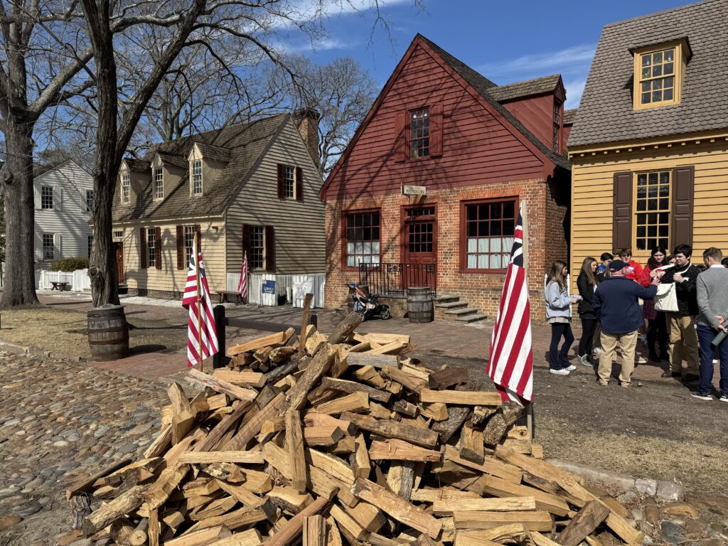
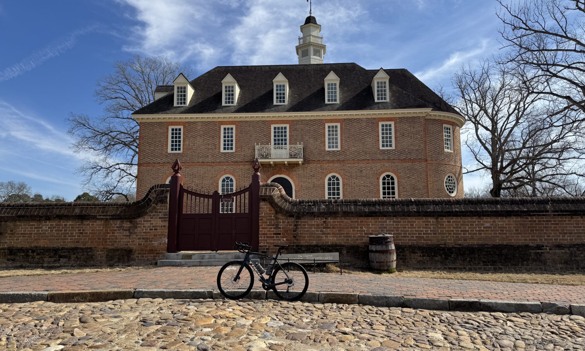
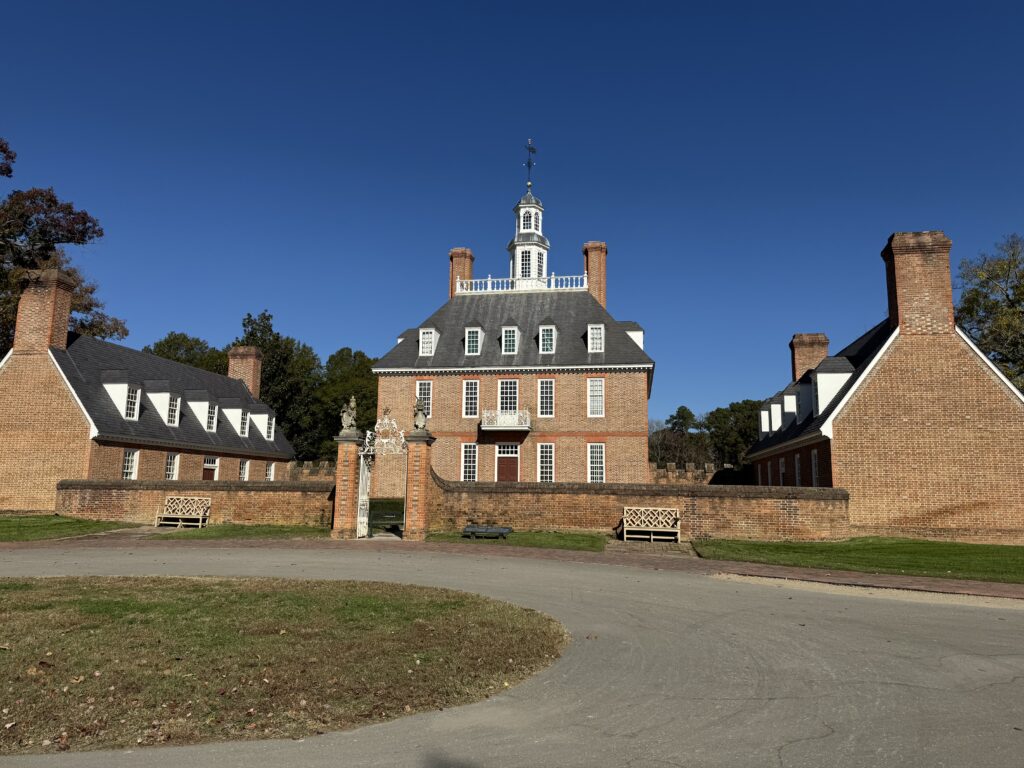
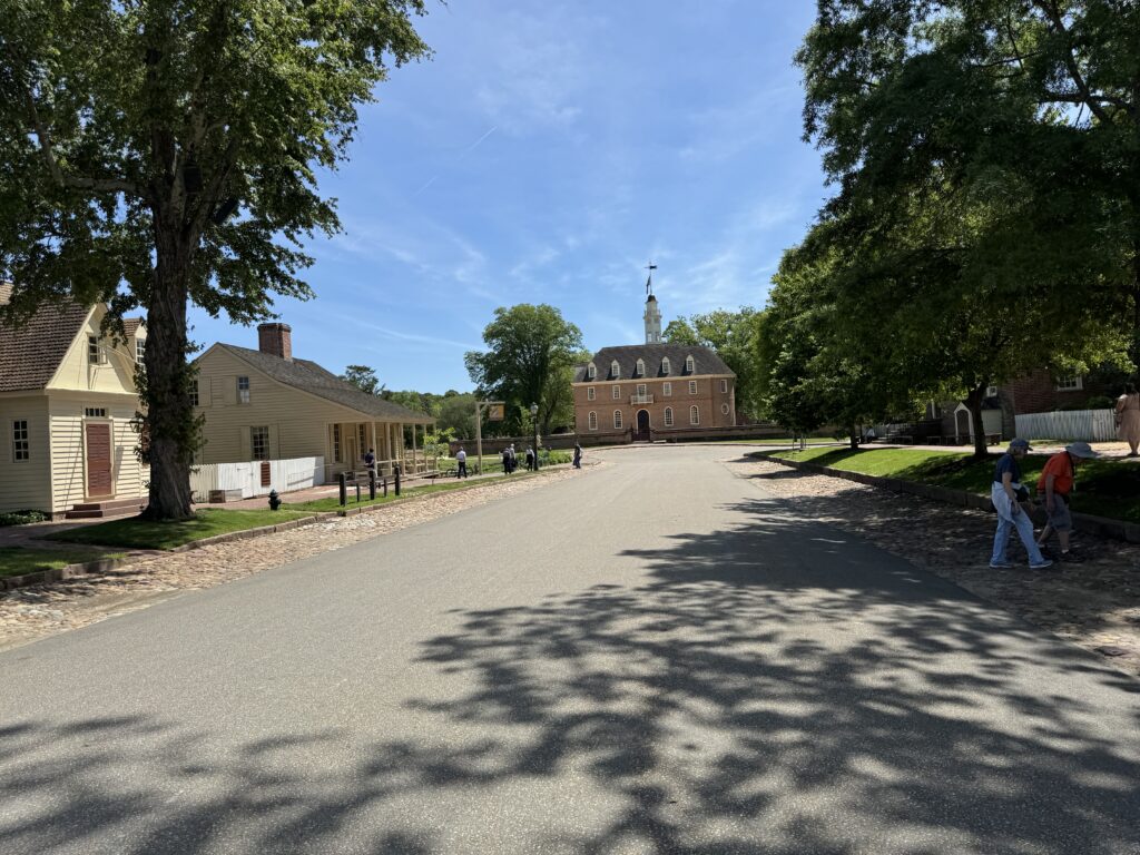
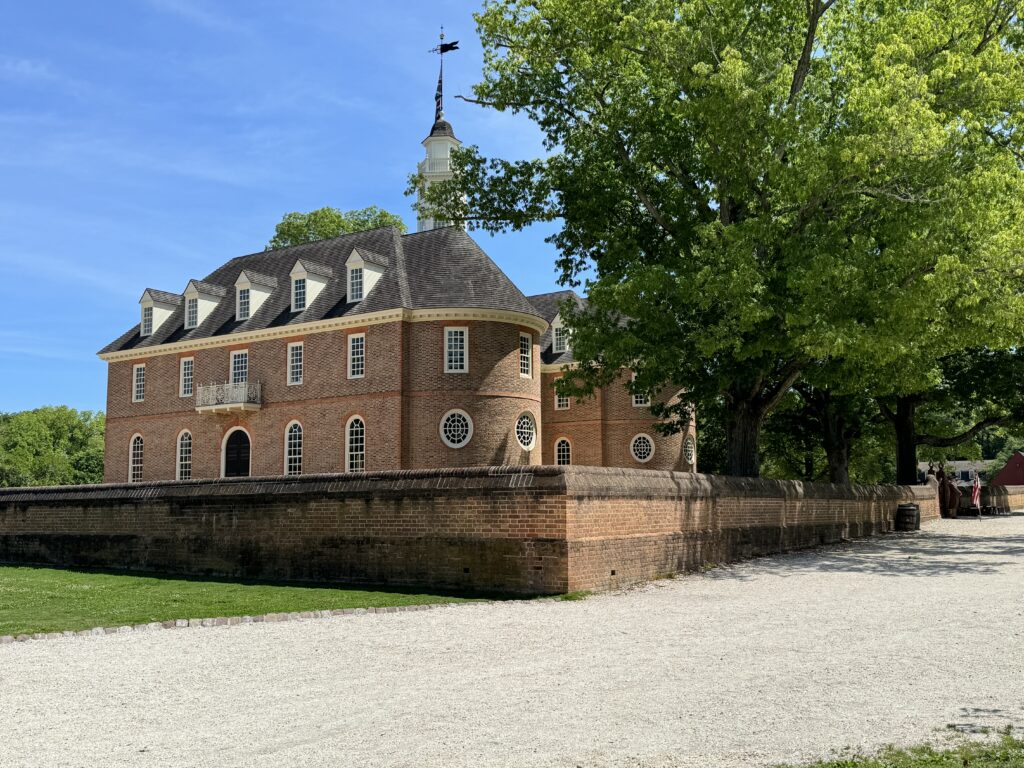
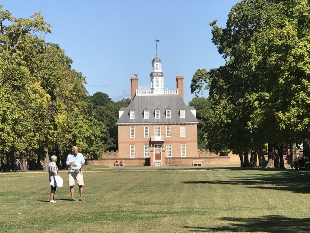
The Capital in Williamsburg

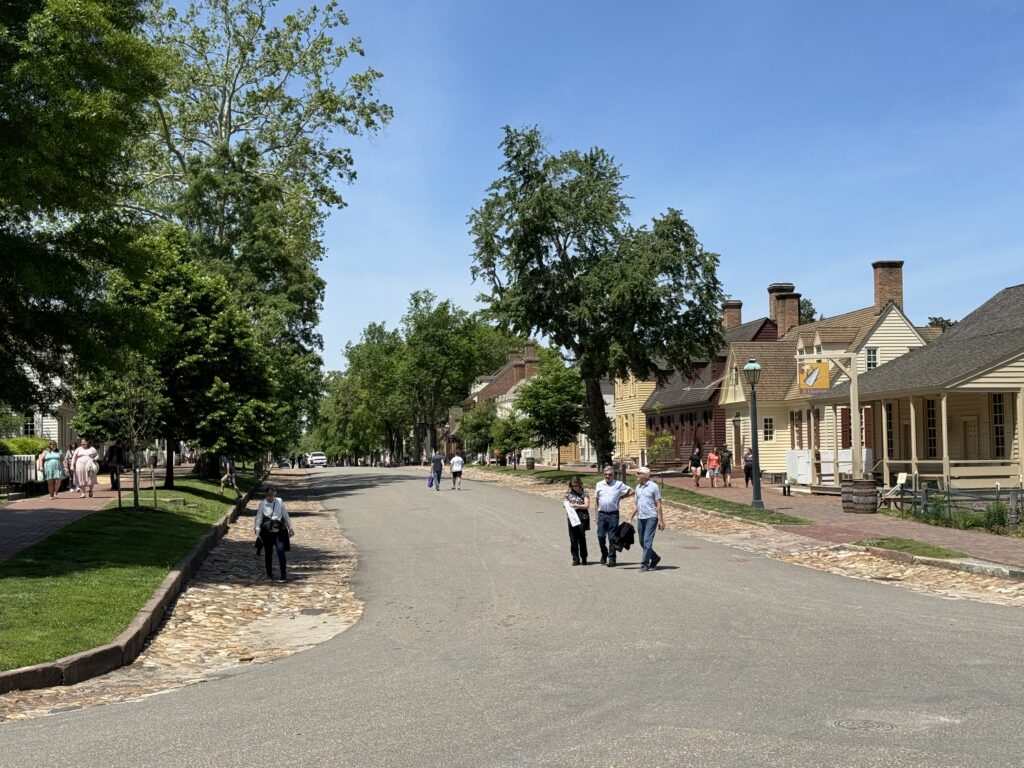
I did a quick “tour” of Colonial Williamsburg and then found a course on my Wahoo and followed it. It featured some side streets which I don’t remember riding before but probably did.

Williamsburg

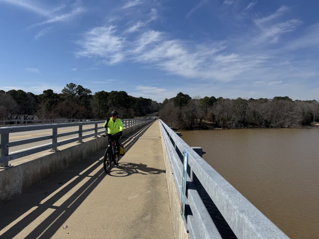
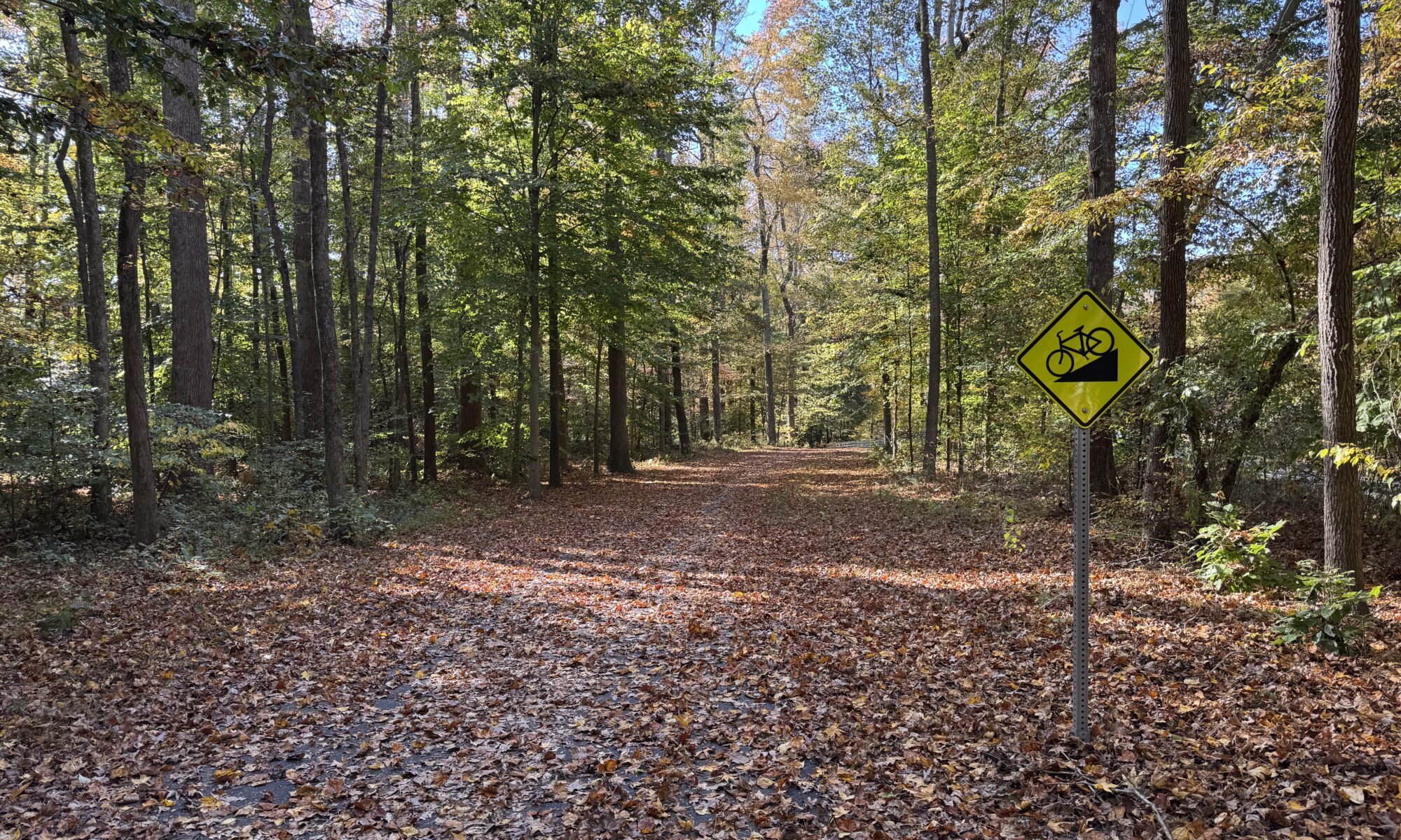
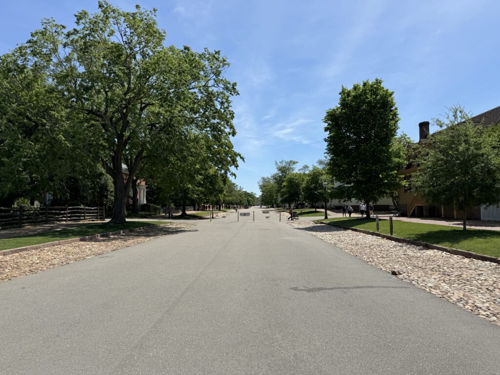
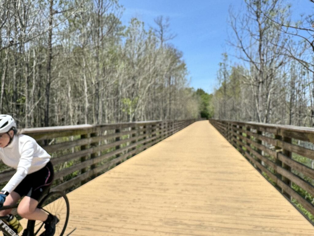
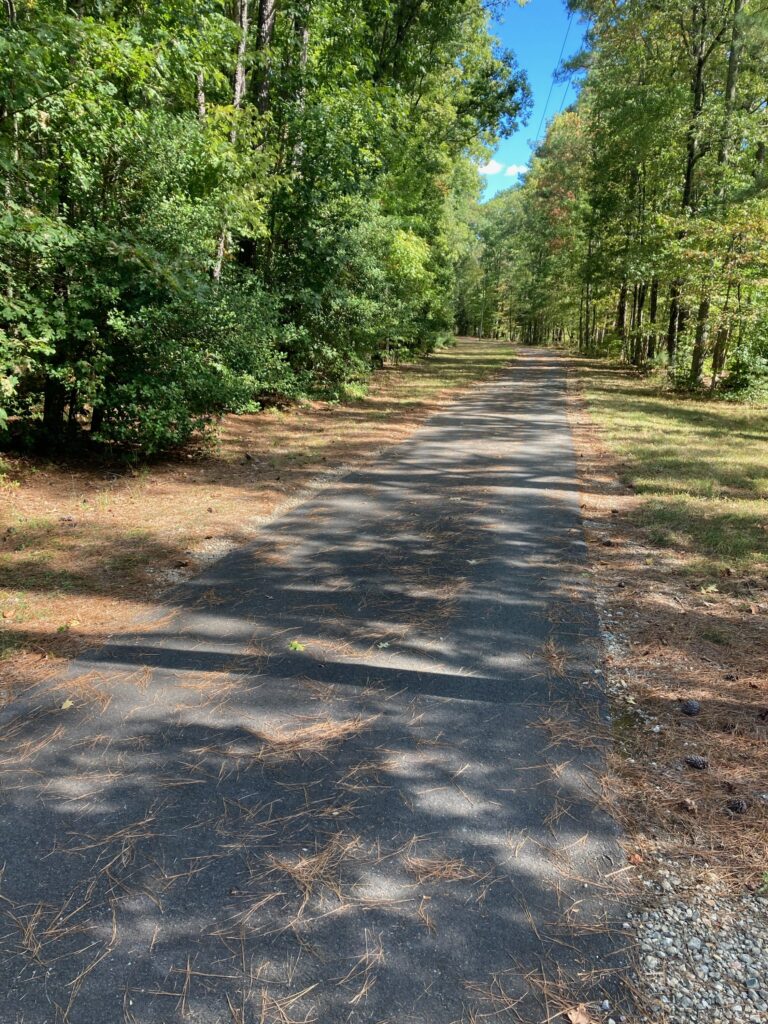
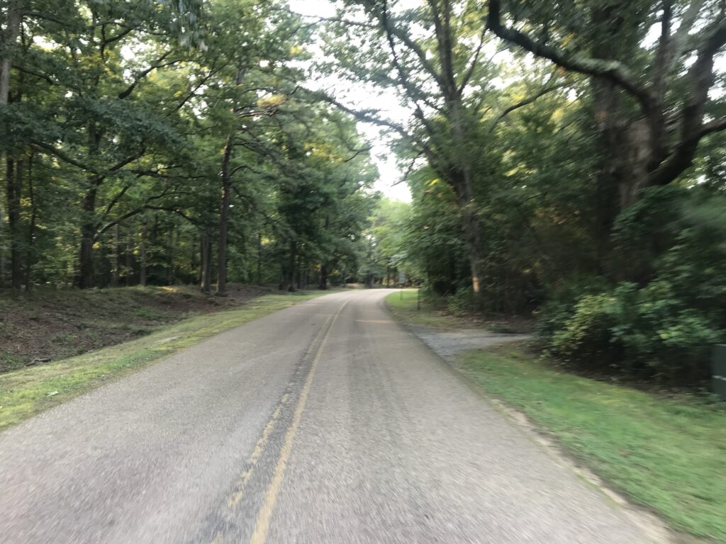
The trail was thick with leaves in places which made seeing the trail difficult at times.

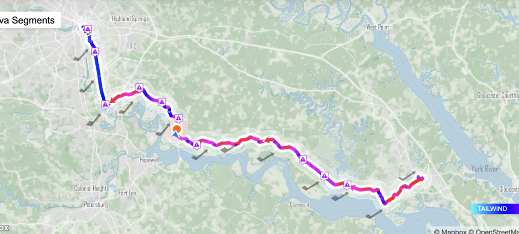
I rode into a strong wind the entire time.

MyWindock.com – Chart of winds

ff

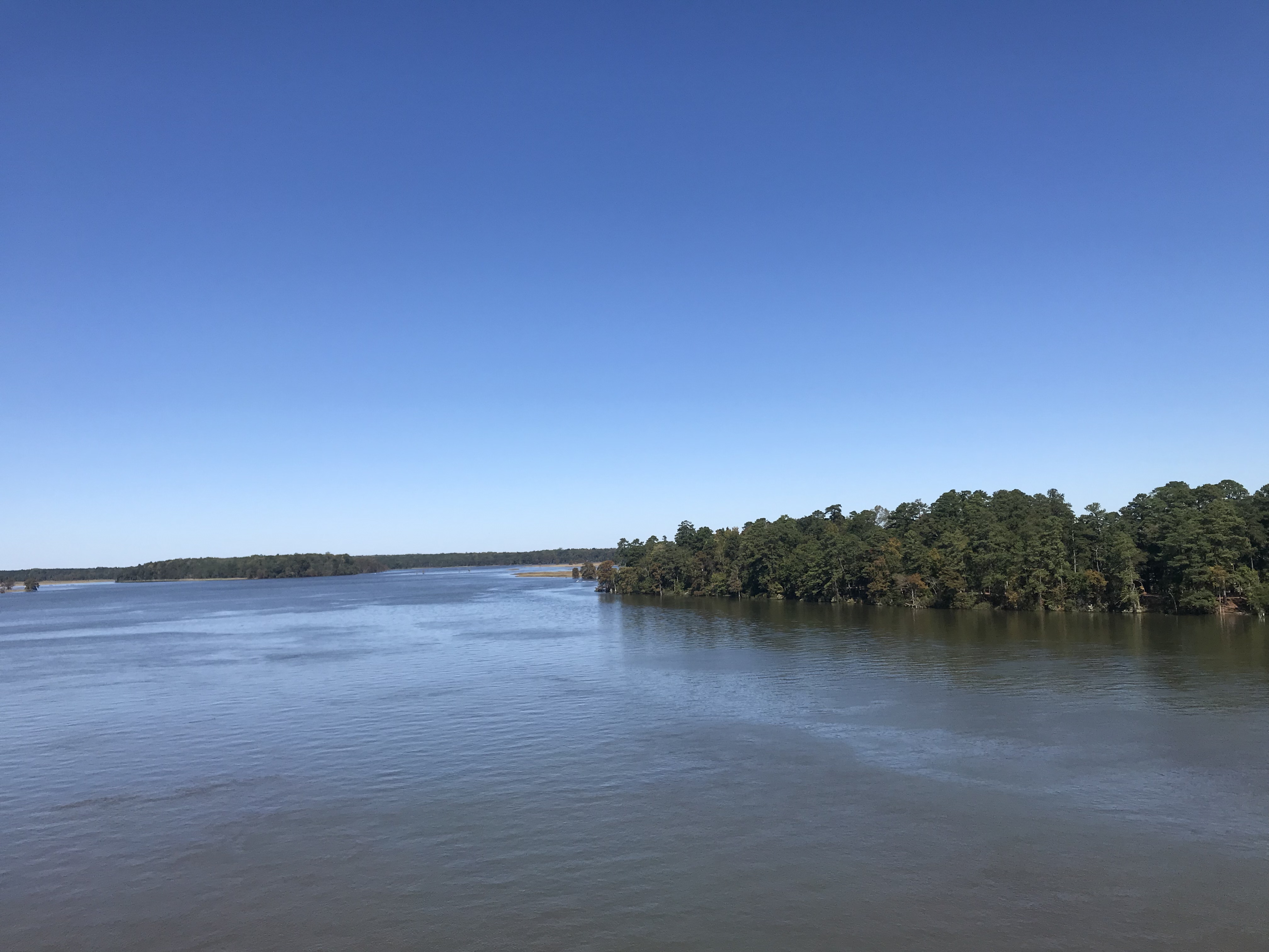
Chickahominy River

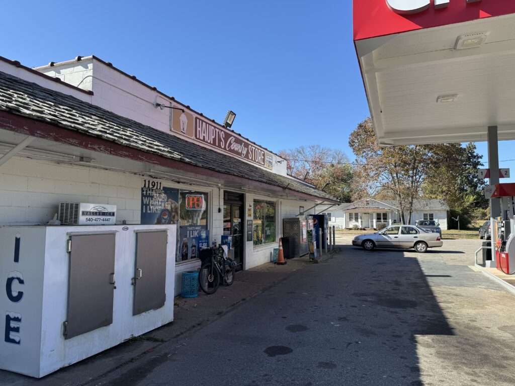
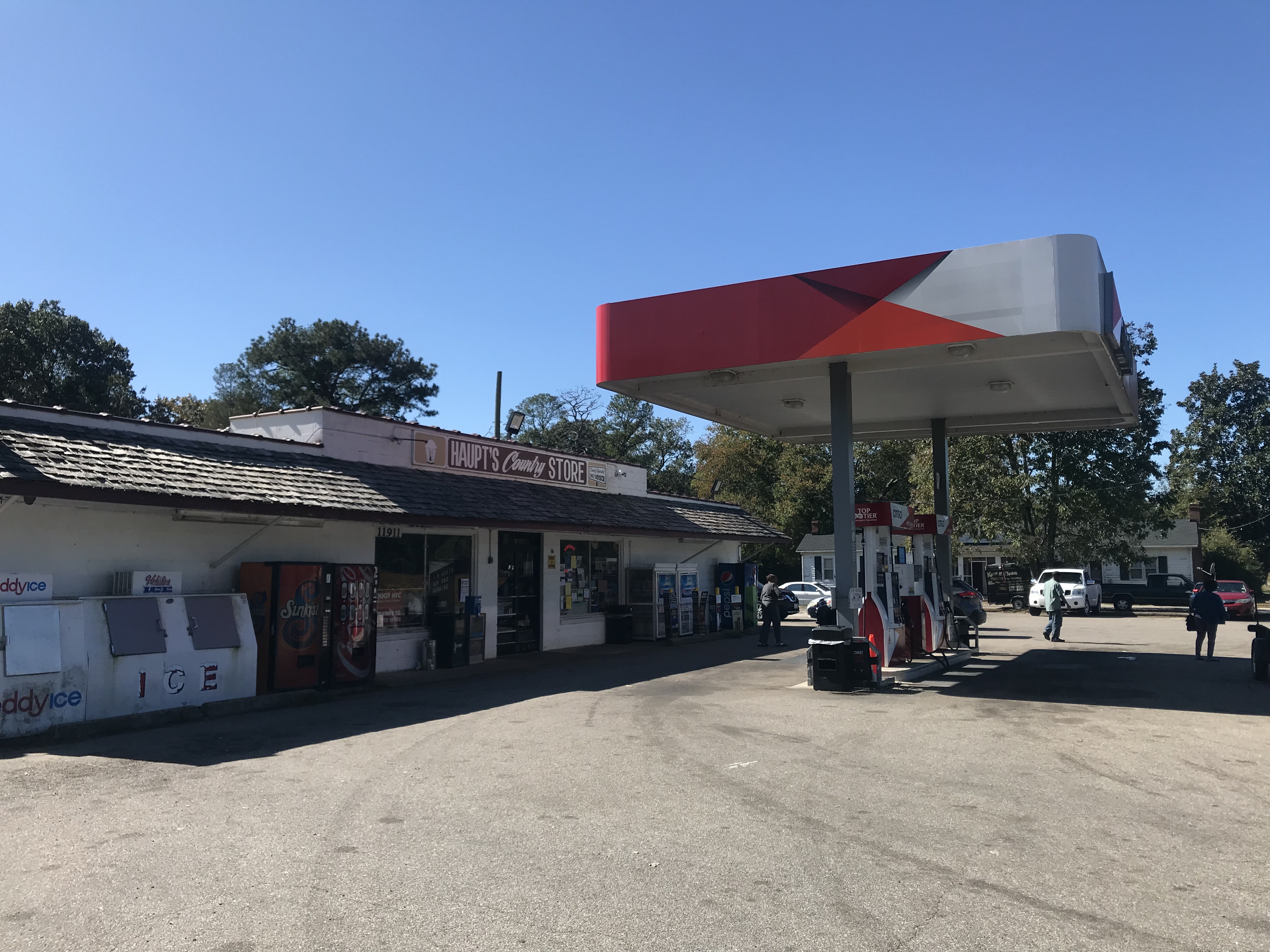
I stopped at Haupt’s Grocery in Charles City and got a chicken breast. I could tell I needed something although I had my pockets full of cycling food.

Charles City

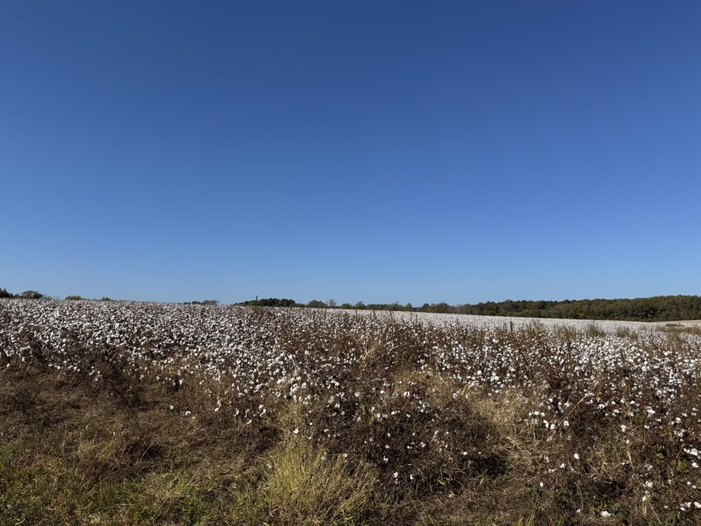
At Shirley Plantation, I came upon a cotton field. I didn’t know they grew cotton in Virginia.

Cotton

Some of the trail is wooded which gave protection from the winds. Other sections were out in the open in which the wind and sun took it’s toll on me. It was 82 degrees today.

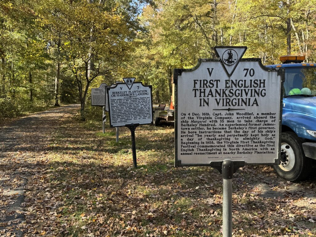
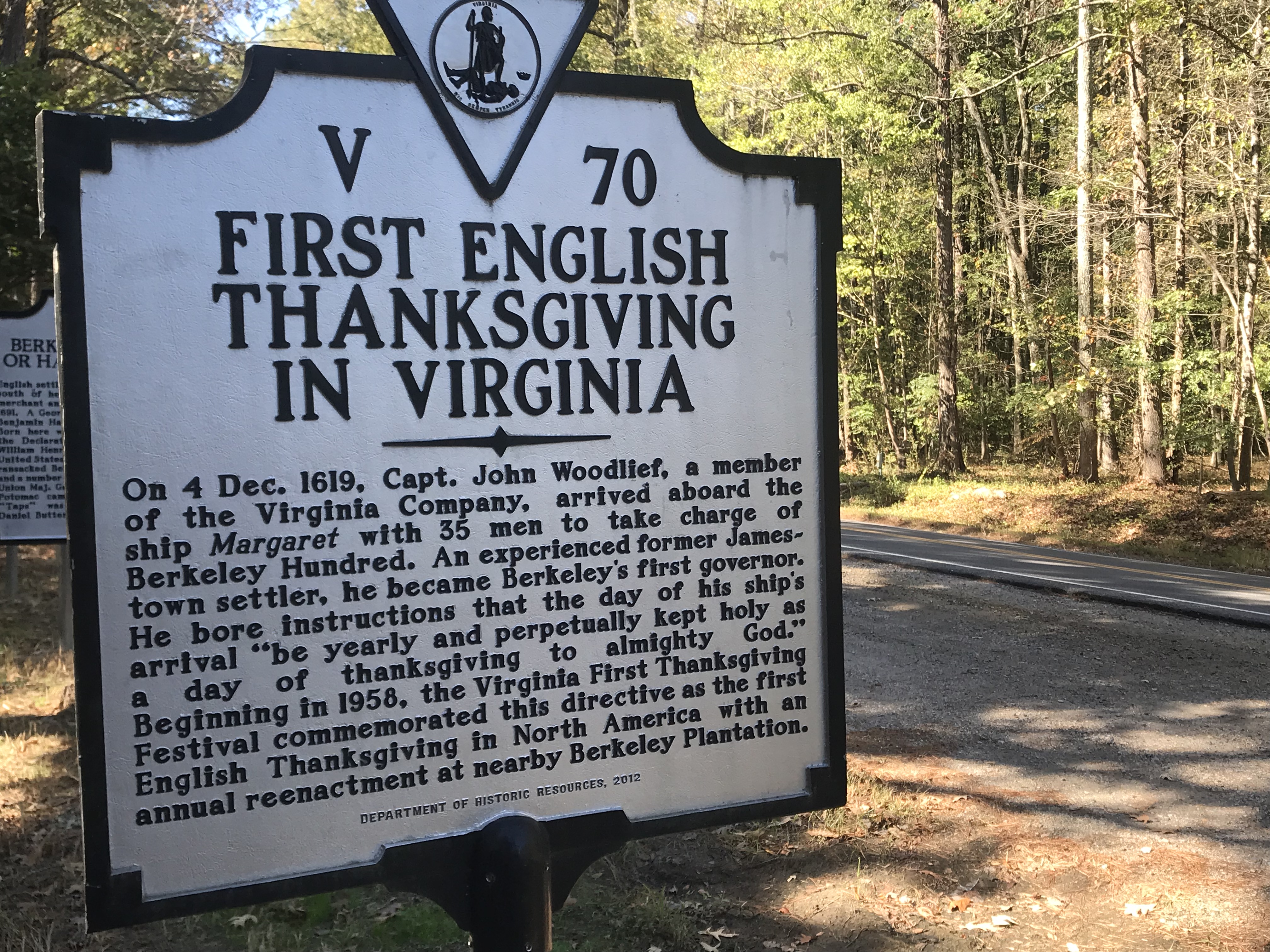
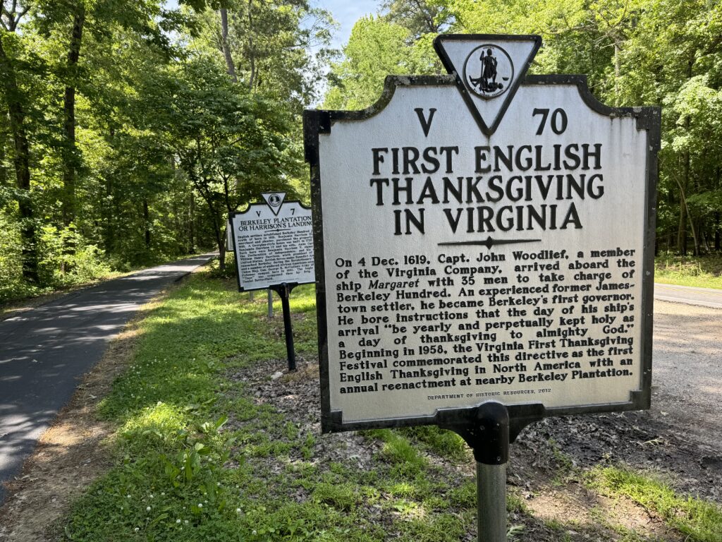
First Thanksgiving

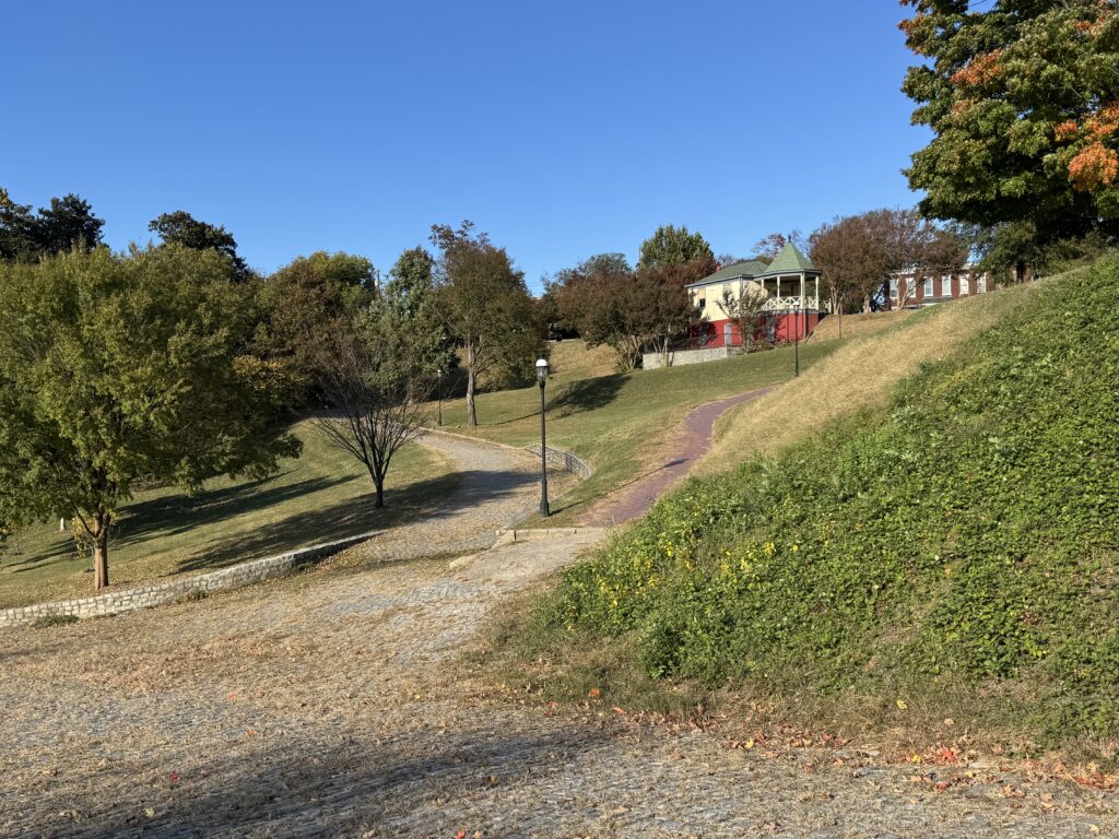
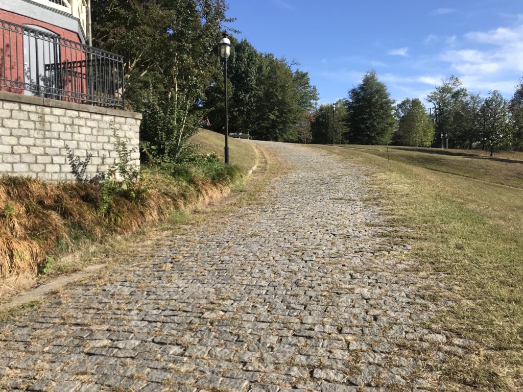
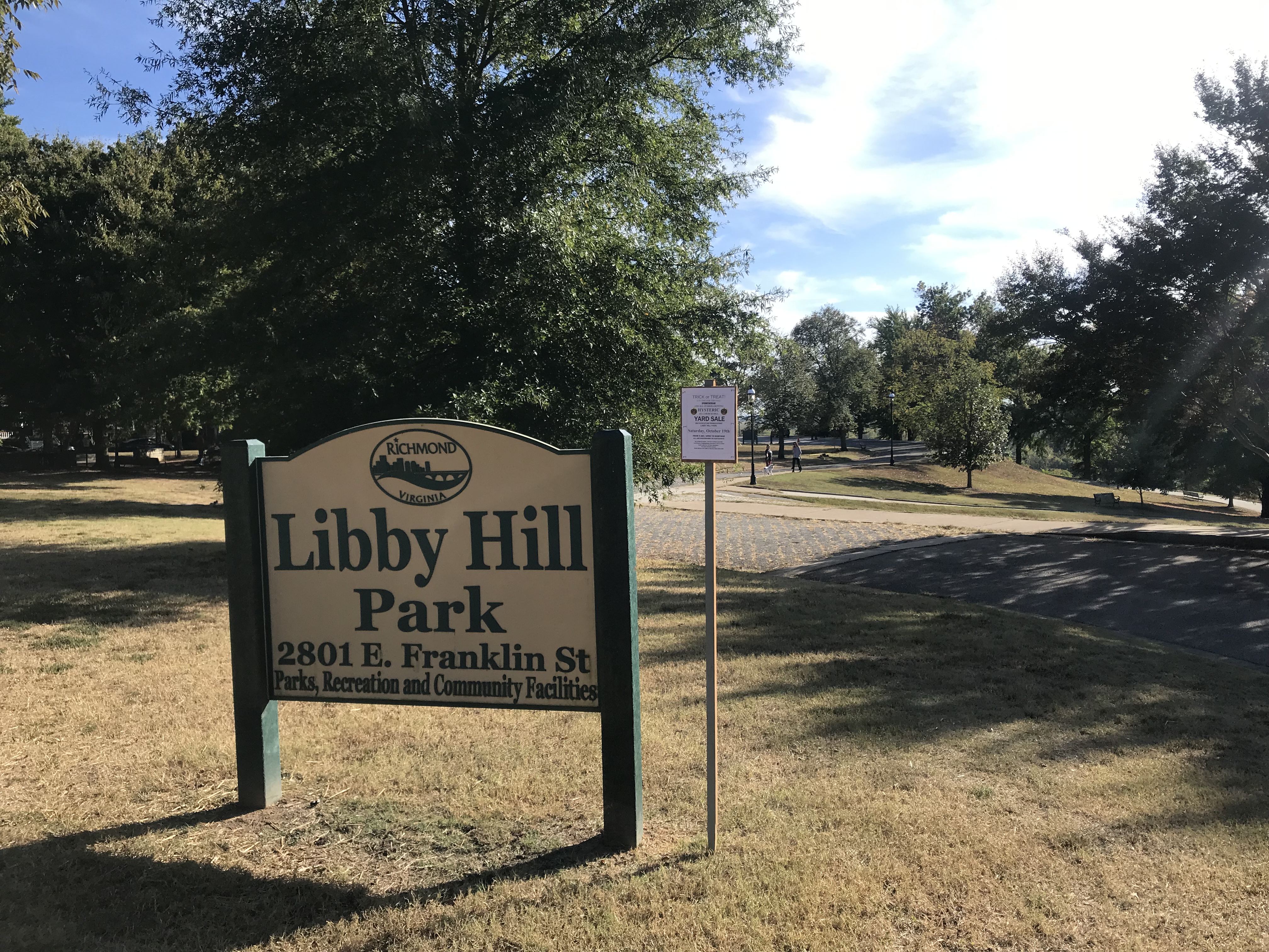
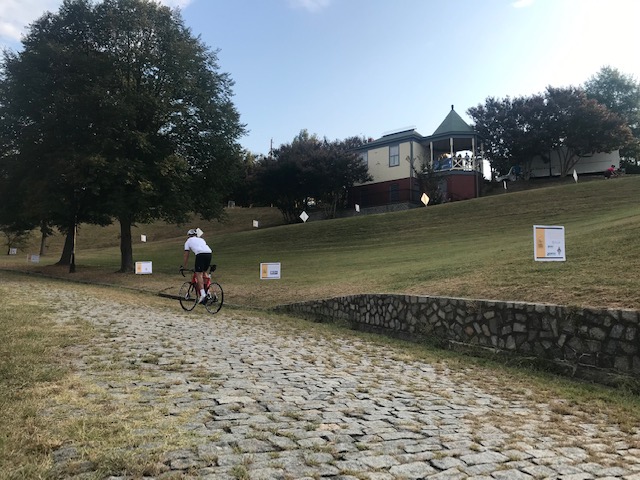
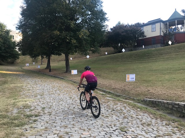
Arriving in Richmond I made my way over to Libby Hill Park. I was hoping to see if I could beat my PR on the climb but never could find my line. The cobbles will beat you up. I sucked today.

Libby Park

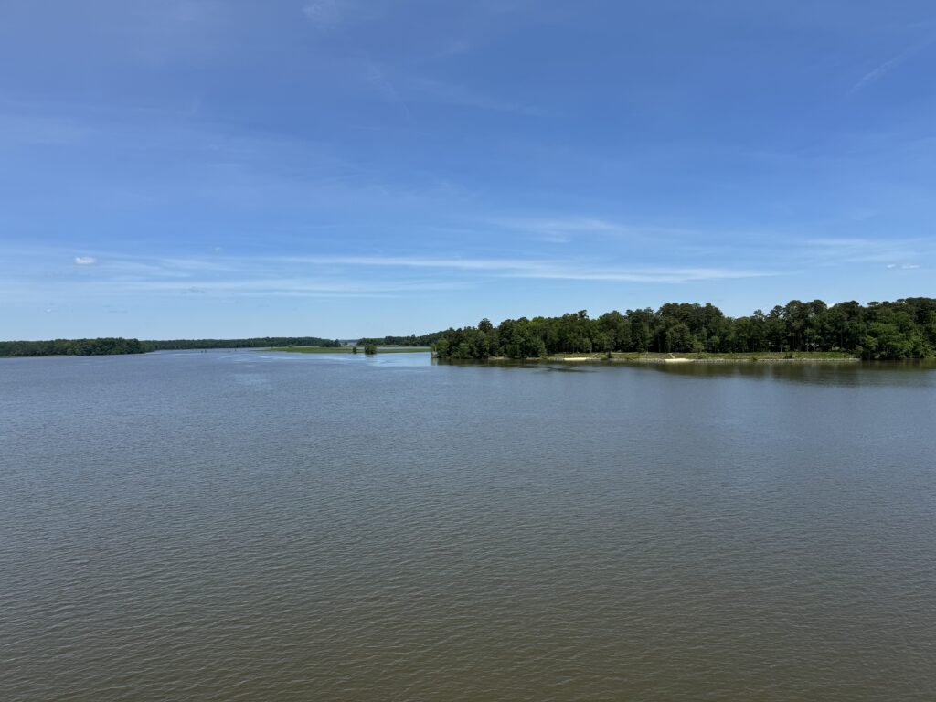
Notwithstanding not getting a PR at Libby Park, this is a great ride. Well, the winds weren’t my friends today either. But if you want to stay on a trail, you can ride traffic-free from the Jamestown Settlement 50+ miles back to Richmond.
Richmond

There is a 6-7 mile ride from Williamsburg to Jamestown on the road but the last time I rode this I met a couple who took their bikes from the train in Williamsburg on a bus to Jamestown so they never rode in traffic. Not for me but that’s a nice way to do it.


A Colonial Ride

WILLIAMSBURG, VIRGINIA

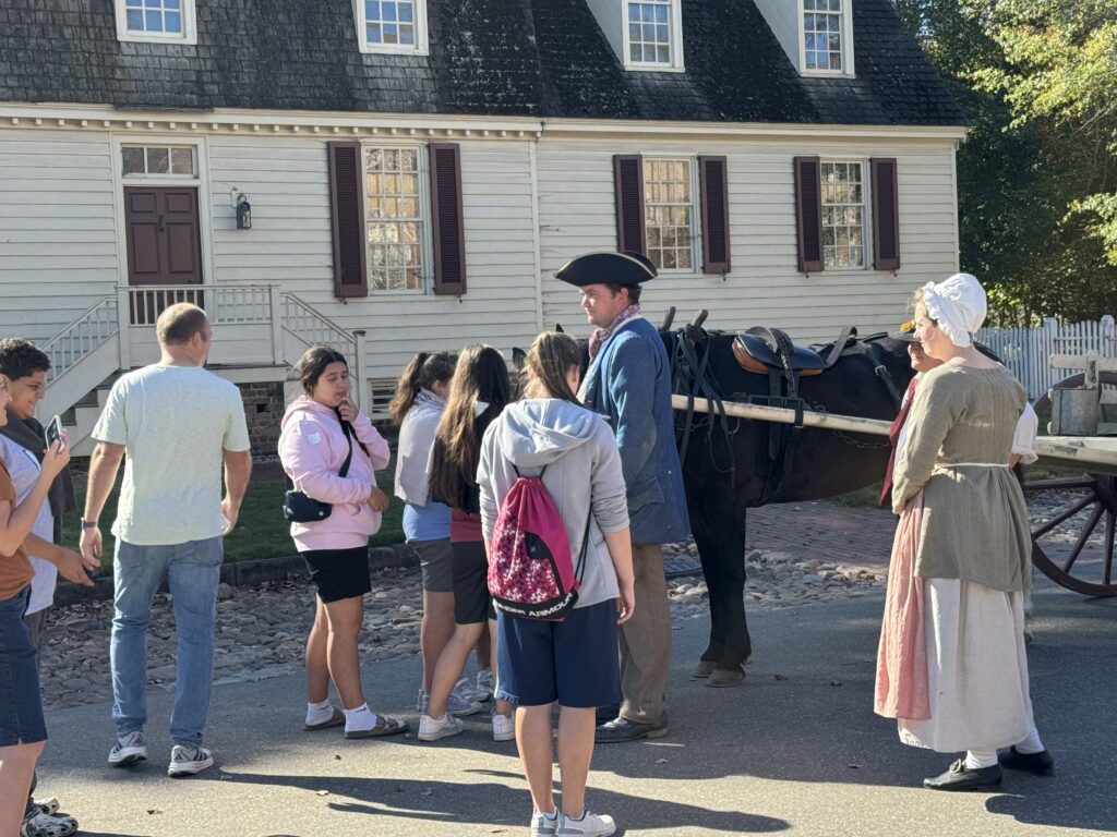
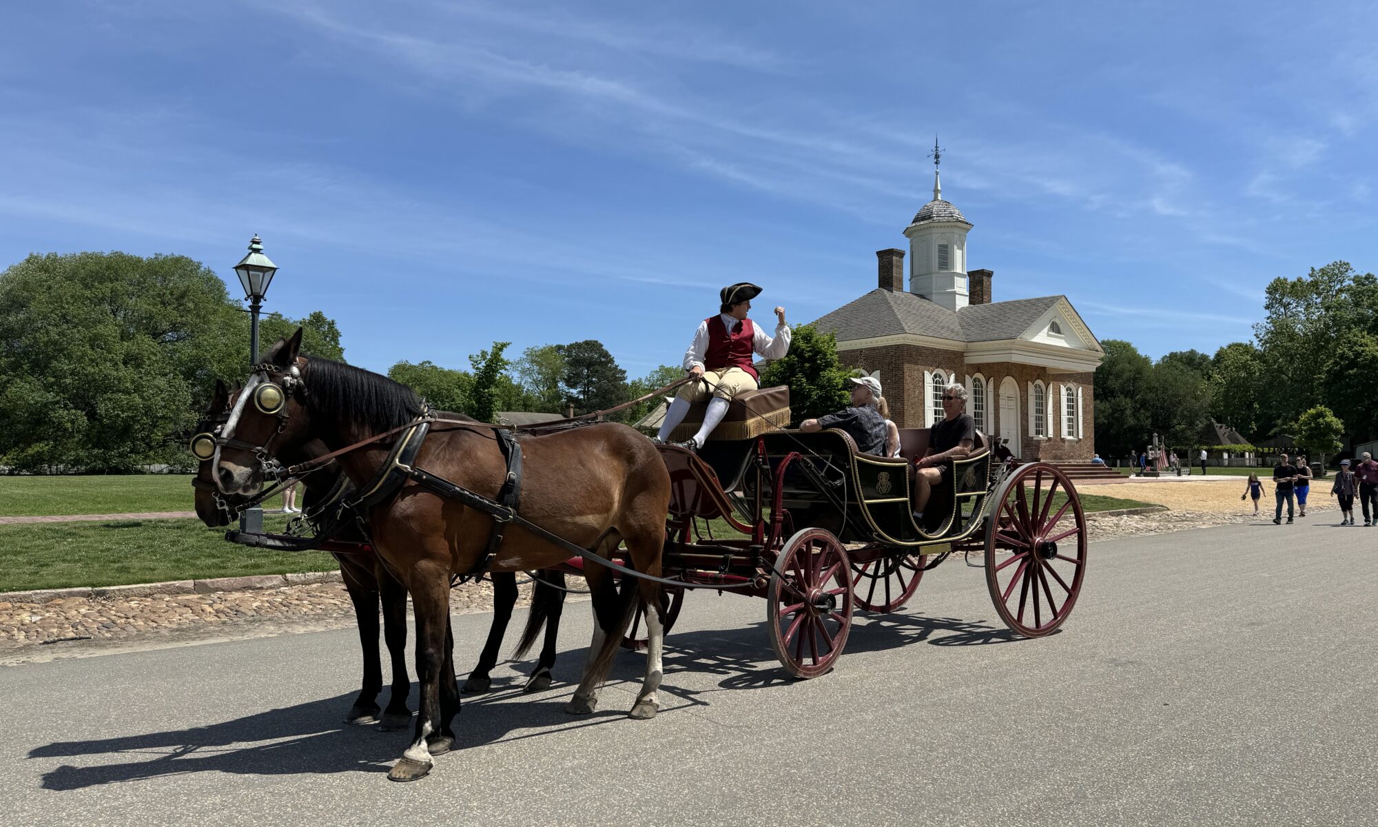
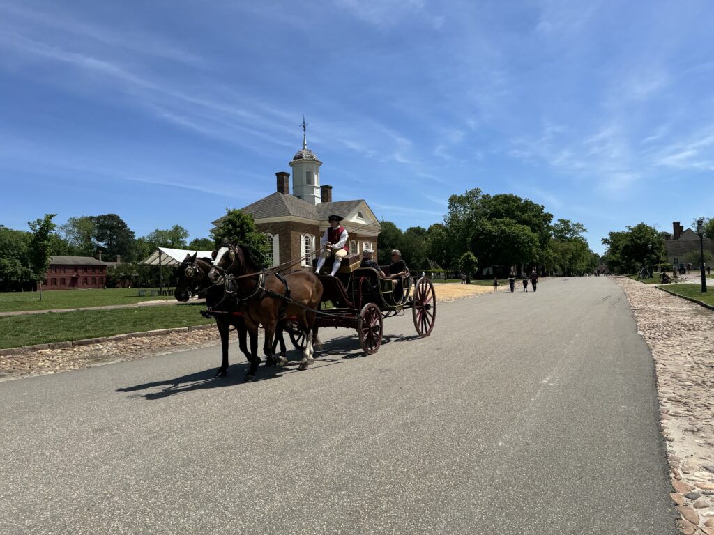
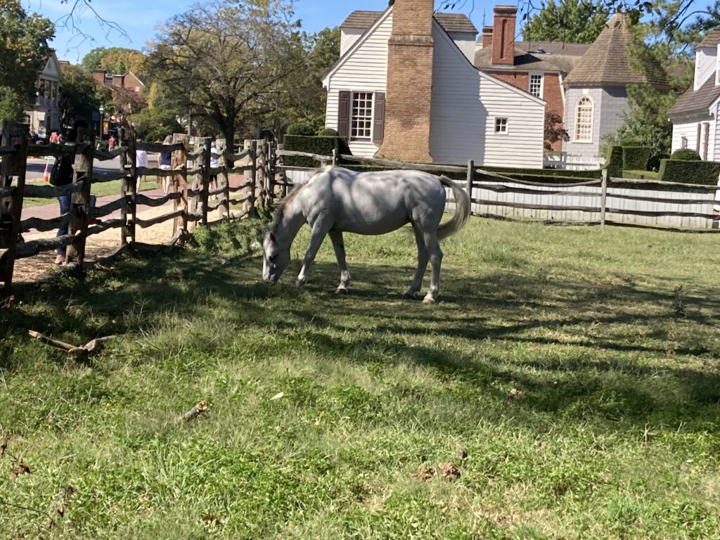
I found myself side by side with two horses pulling a couple of riders in a carriage. The driver was dressed in period garb but the riders, well, they were wearing something from 400 years later.

Horse and carriage

The capitol flew the flag of the British Empire. And I, in my time-traveling machine, was on my bike.

Capitol

I began 90 minutes earlier in Richmond. I parked at Great Shiplock Park and rode one mile over to the Richmond Main Station. The train was scheduled to leave at 10:03 a.m. and I walked into the terminal at 9:50. A not-so-friendly employee “greeted” me with a greeting that was less friendly and more challenging. She sort of barked out “May I help you?” and I sensed that was more seeing what I was doing in the train station with my bike as opposed to actually wanting to help me.

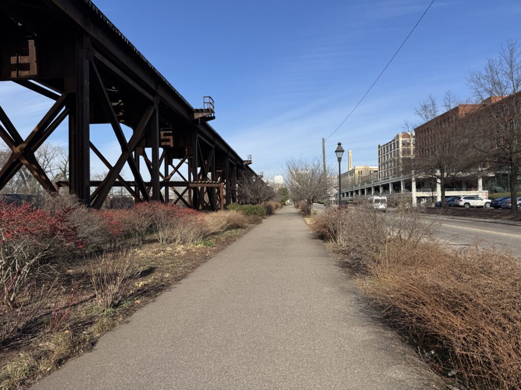
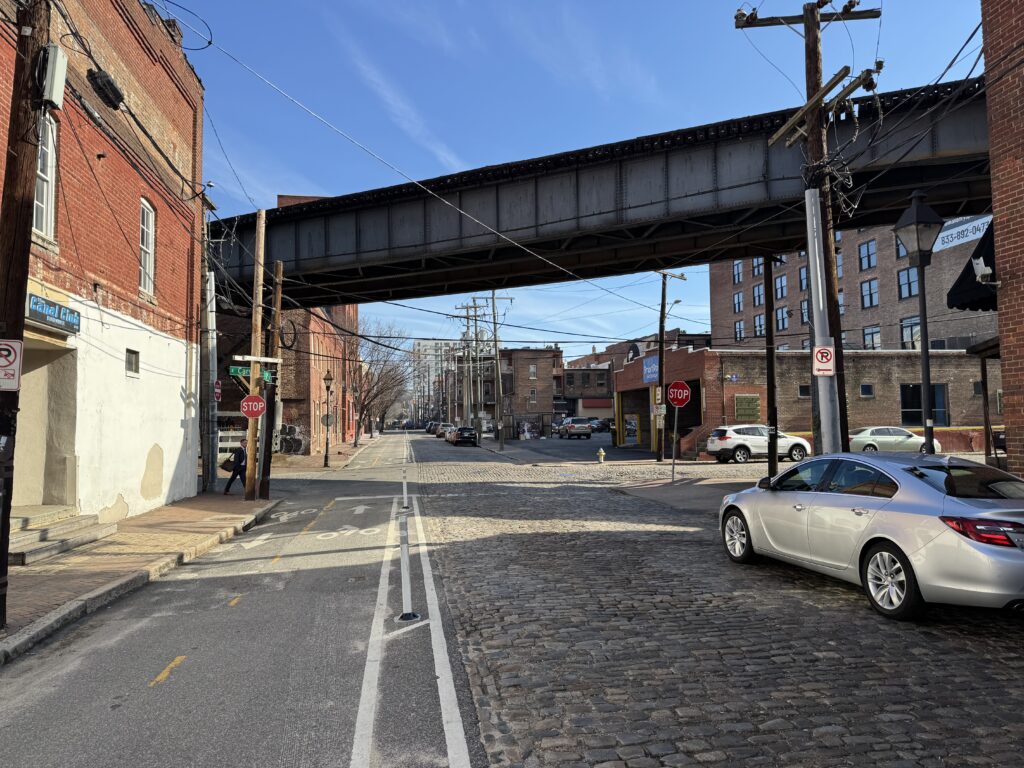
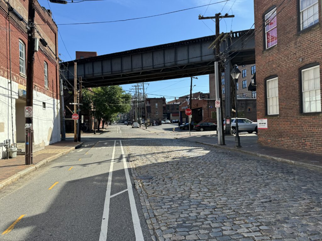
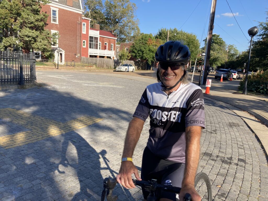
Cobbles are for cars. Pave is for bikes. Richmond, Va.

I responded that I was headed to Williamsburg. She said, “Ok.” She could have, should have added, that the train was 38 minutes late. Is this really any way to run a train?

Low Line in Richmond

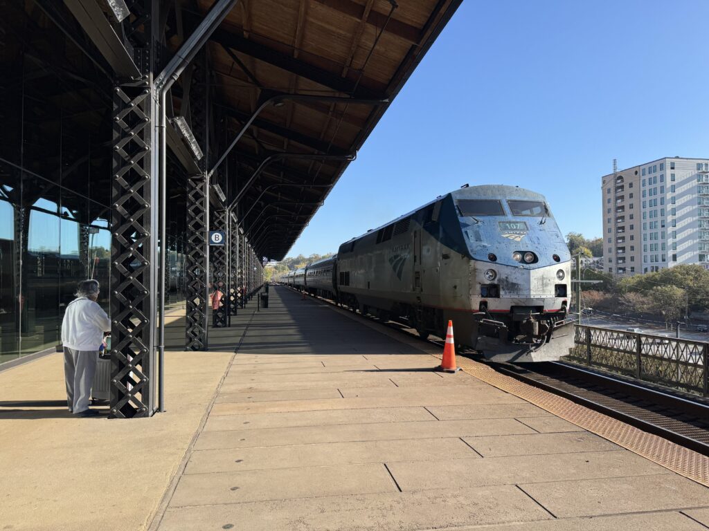
Despite a beautiful morning, the doors to the outside platform were locked. One couple had tried to go outside for fresh air while the rest of us were inside the terminal. At about 10:15 a.m. two employees opened the doors to the platform, signaling that the train would be arriving soon.

Richmond Main

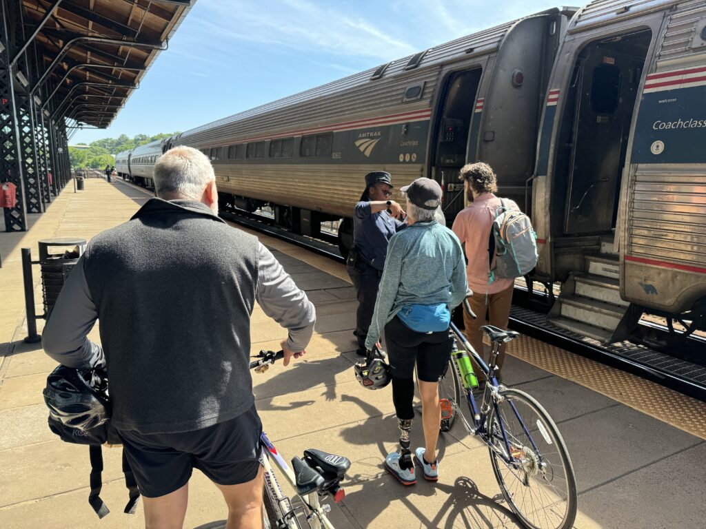
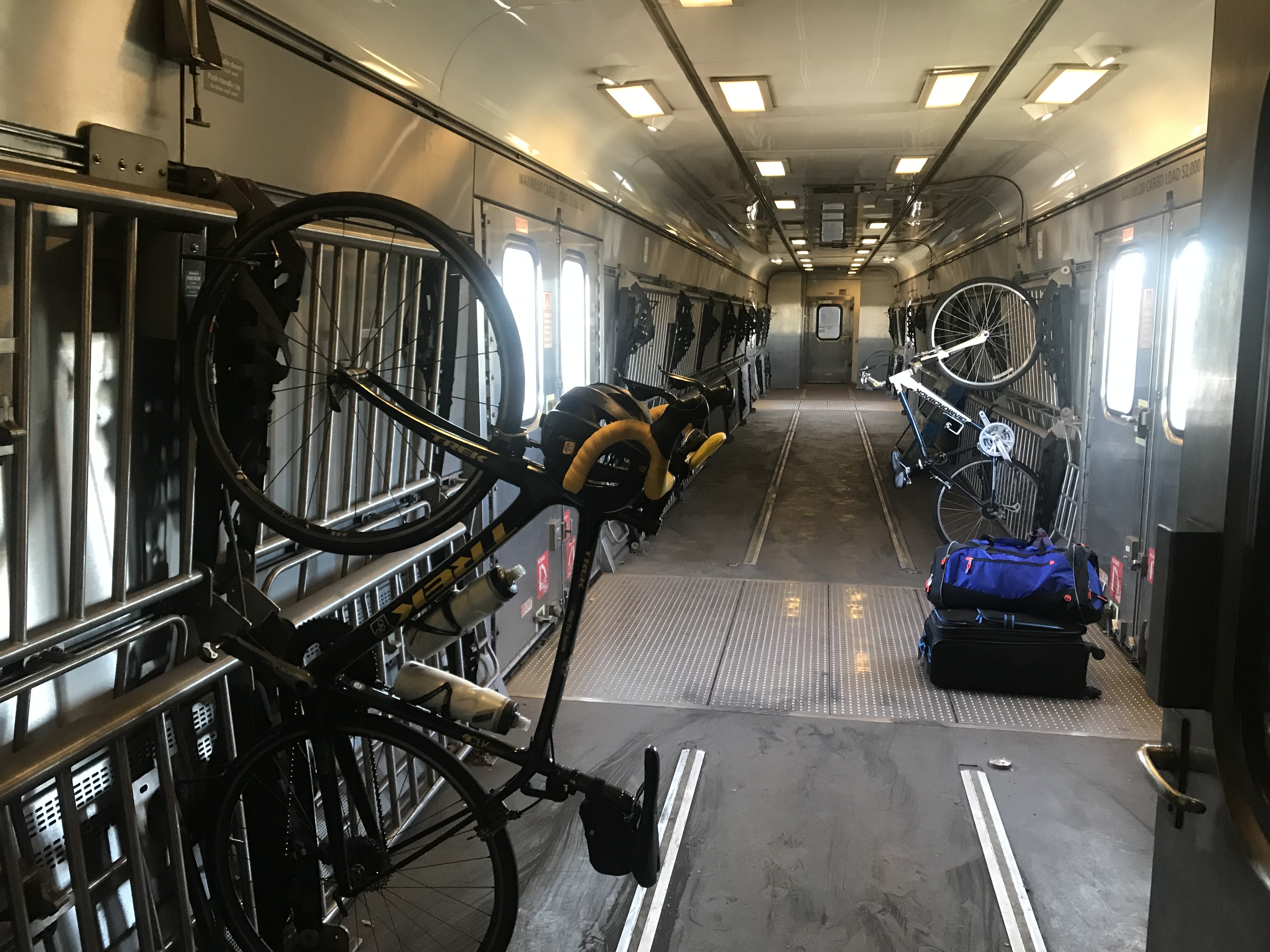
On the platform, I met two people who had bikes with them. This train is nice but they limit bikes to four per train. The best I can determine is that there is one space per car on this four-car train using a hook-and-hang system.

Richmond Main. Couple would be riding back as well.

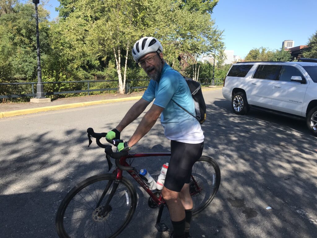
I chatted briefly with the couple. This was their first time riding from Williamsburg to Richmond. The woman had a prosthetic foot and I was quite impressed that she, that they, were trying this. They looked to be both recreational riders. The man, and he was the only one I talked to, asked if he should buy a newer bike. He mentioned his bike is 30 years old. I told him for sure he should. I should have had him lift my bike.

Train approaching Richmond Main

He asked if I was riding back from Williamsburg and I told him I was. He said he didn’t know if they could ride seven more miles and told me they would take a bus from the train to Jamestown Settlement which is the beginning of the 52-mile trail back to Richmond. I saw them when I had offloaded in Williamsburg and hoped to pass them on my ride but I never saw them again. They may have eaten lunch in Williamsburg before beginning their journey.

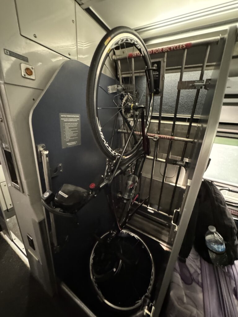
Bike storage on Amtrak

The late arriving train messed up my schedule. I had just enough time to ride from Williamsburg to Richmond and finish with a climb up Libby Hill. I needed to get home in time to go watch my grandson play baseball at 6:30 p.m.

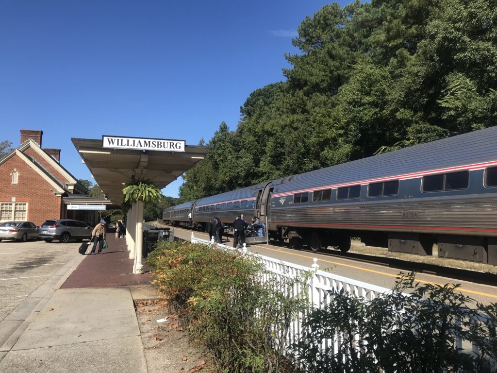
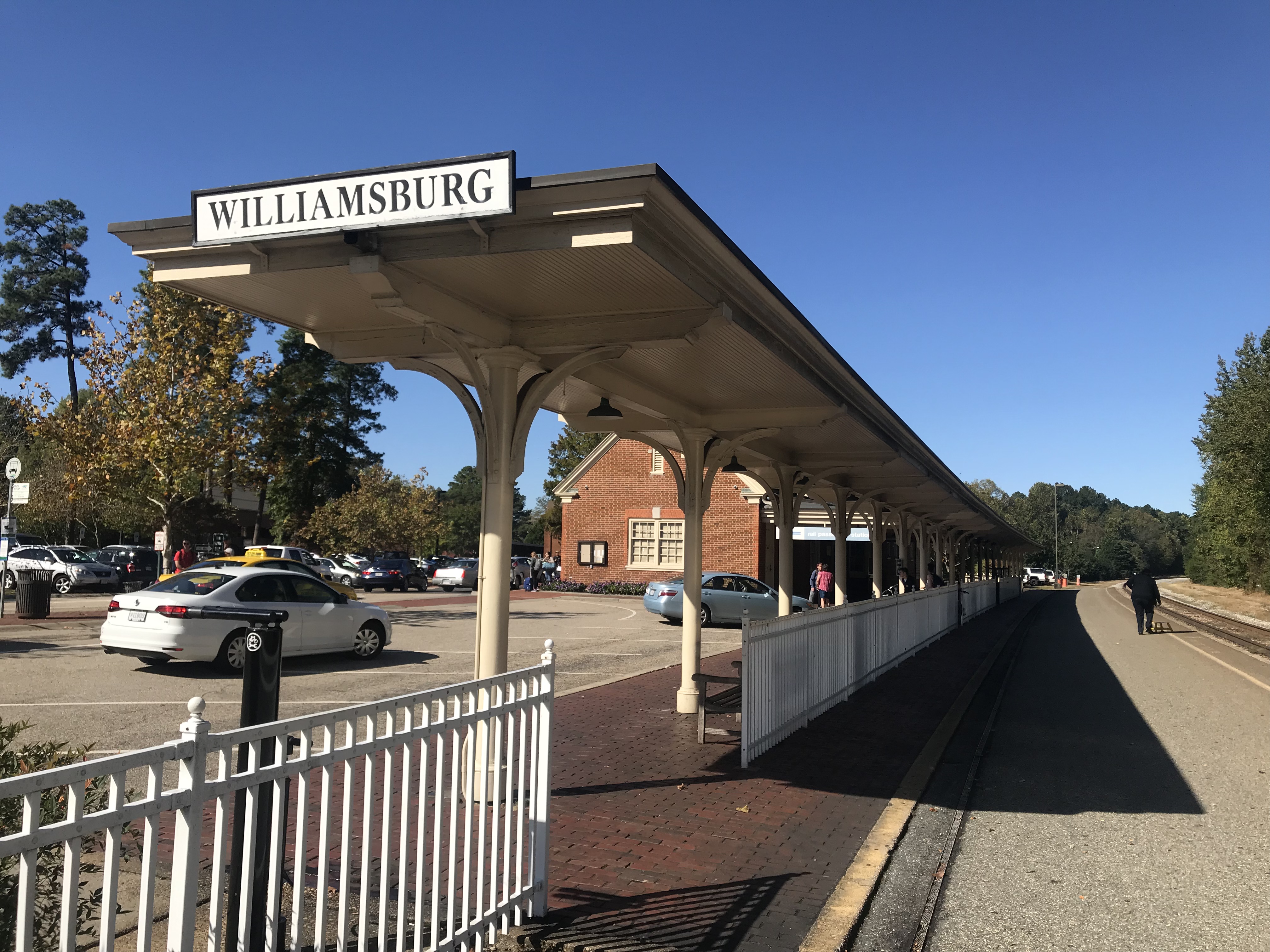
Williamsburg Station

I departed the station and was about to head to Jamestown. I saw one of the entrances to Colonial Williamsburg and decided to roll back into time. The signage was clear – no motorized vehicles. So bikes are welcome.

Williamsburg, Va.

I slow-rolled through the town which may explain my disappointing average speed for the ride.* Other reasons may be (1) I’m old, (2) It was windy, (3) Out of fuel, (4) I’m fat, (5) I suck.

Williamsburg

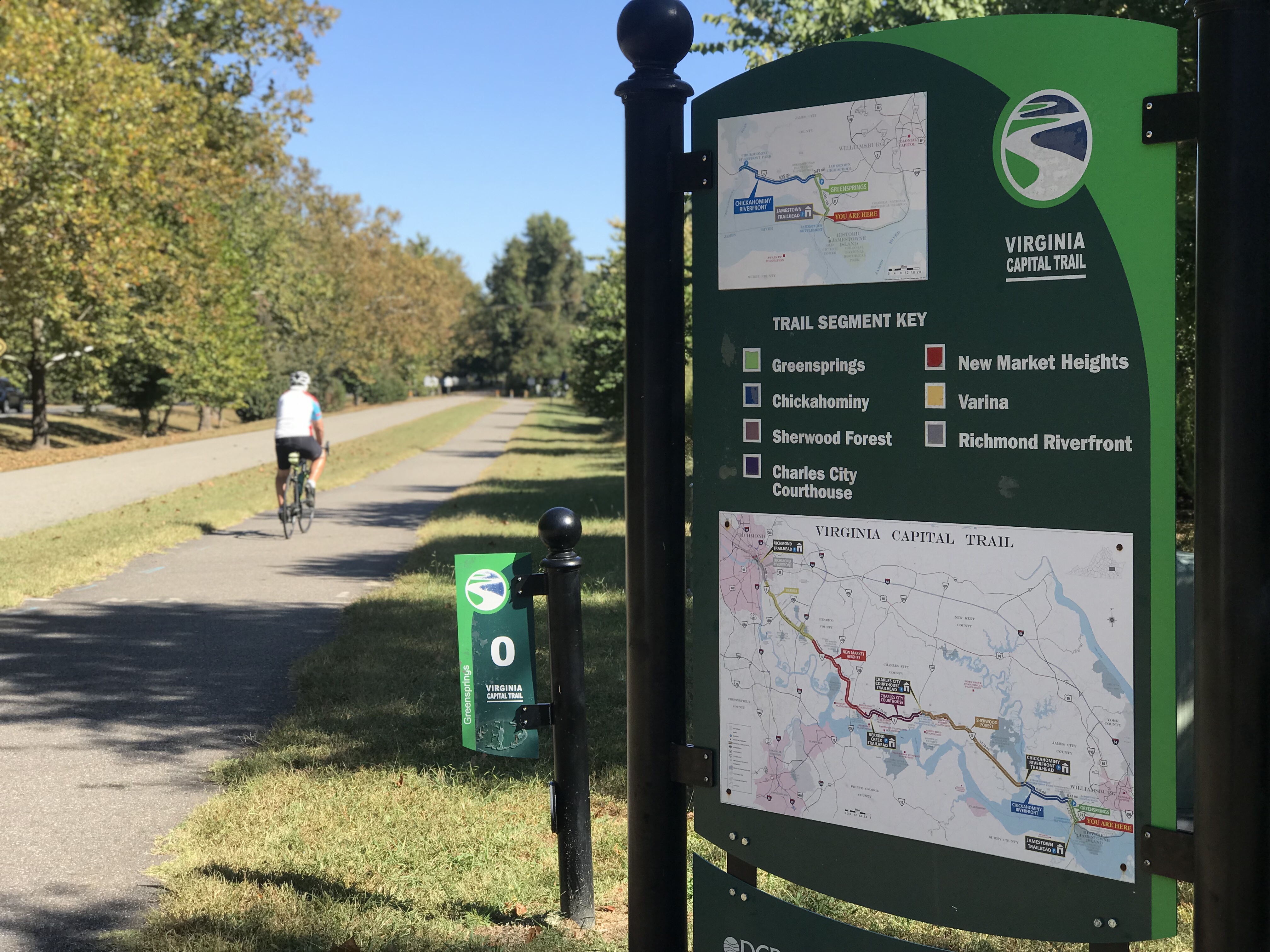
There were places for lunch in Williamsburg that tempted me but I thought I had everything I needed for the ride. I headed down Jamestown Road making two exploratory wrong turns along the way. I came into the Virginia Capital Trail at MP 0.5 (there isn’t such a MP though) and headed towards Richmond.
Capitol

Food options are scarce on the trail. The trail parallels Va. Rte 5 and food options are scarce on Rte 5. I didn’t use it but there is a nice trail map online. Near Jamestown at MP 2.5 is Spoke & Art Provisions. They are closed Tuesdays and Wednesdays but the clock and not the calendar was my problem today.

Capitol in Williamsburg

I was fighting a strong crosswind all day coming from the southwest. And I was fighting the clock.

Entrance to Williamsburg

Near Charles City is a Citgo gas station where the trail crosses Rte 5 and takes the road for 1/2 mile. The gas station sells fried chicken. In Charles City is Cul’s Courthouse Grille (you know what the “e” means). That is probably the best place to stop, sit, and eat on the trail. I ate there once and it was good. The gas station does not have seating.

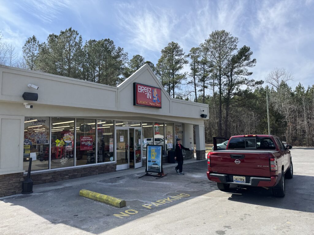
A new entry may be Breez-In Convenience Store, just south of Charles City. It may be a Sunoco station that I passed. The trail is away from the road here so I did not check it out. But that was it for food and water.

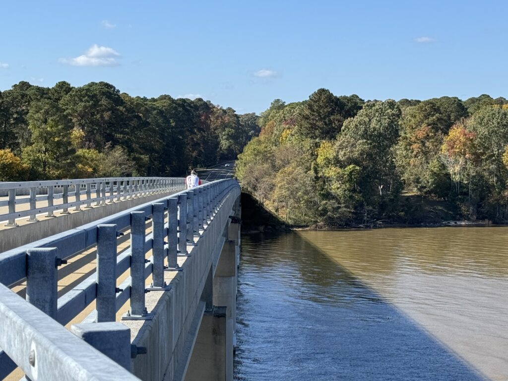
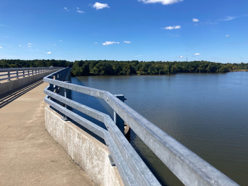
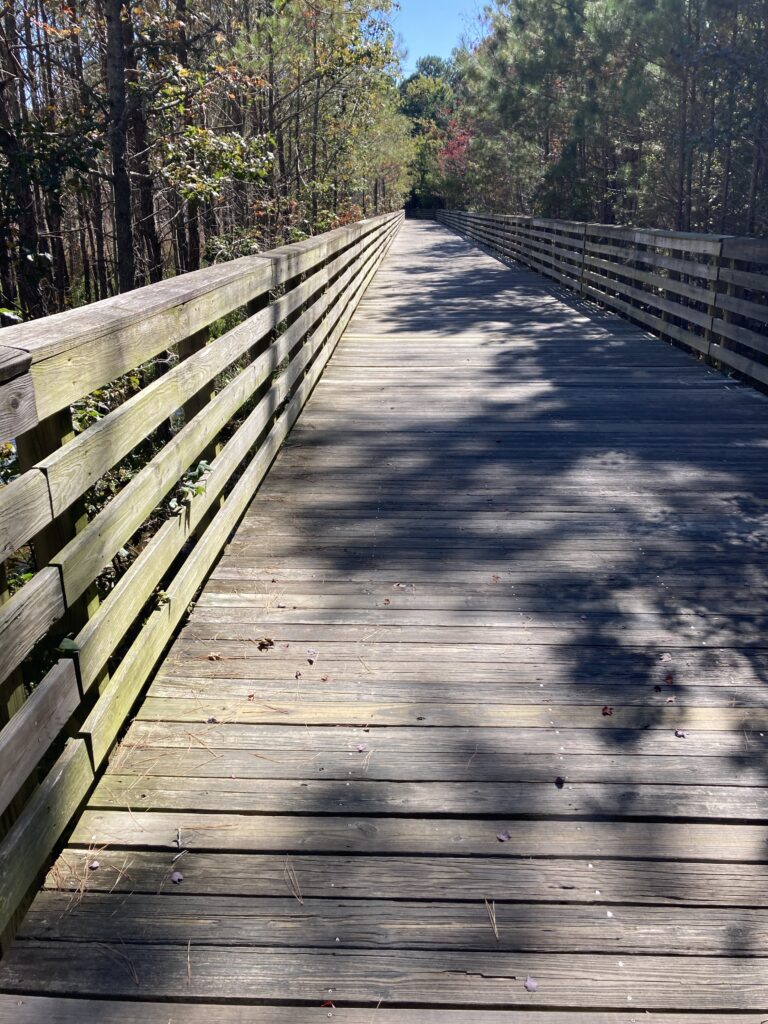
Bridge near MP4

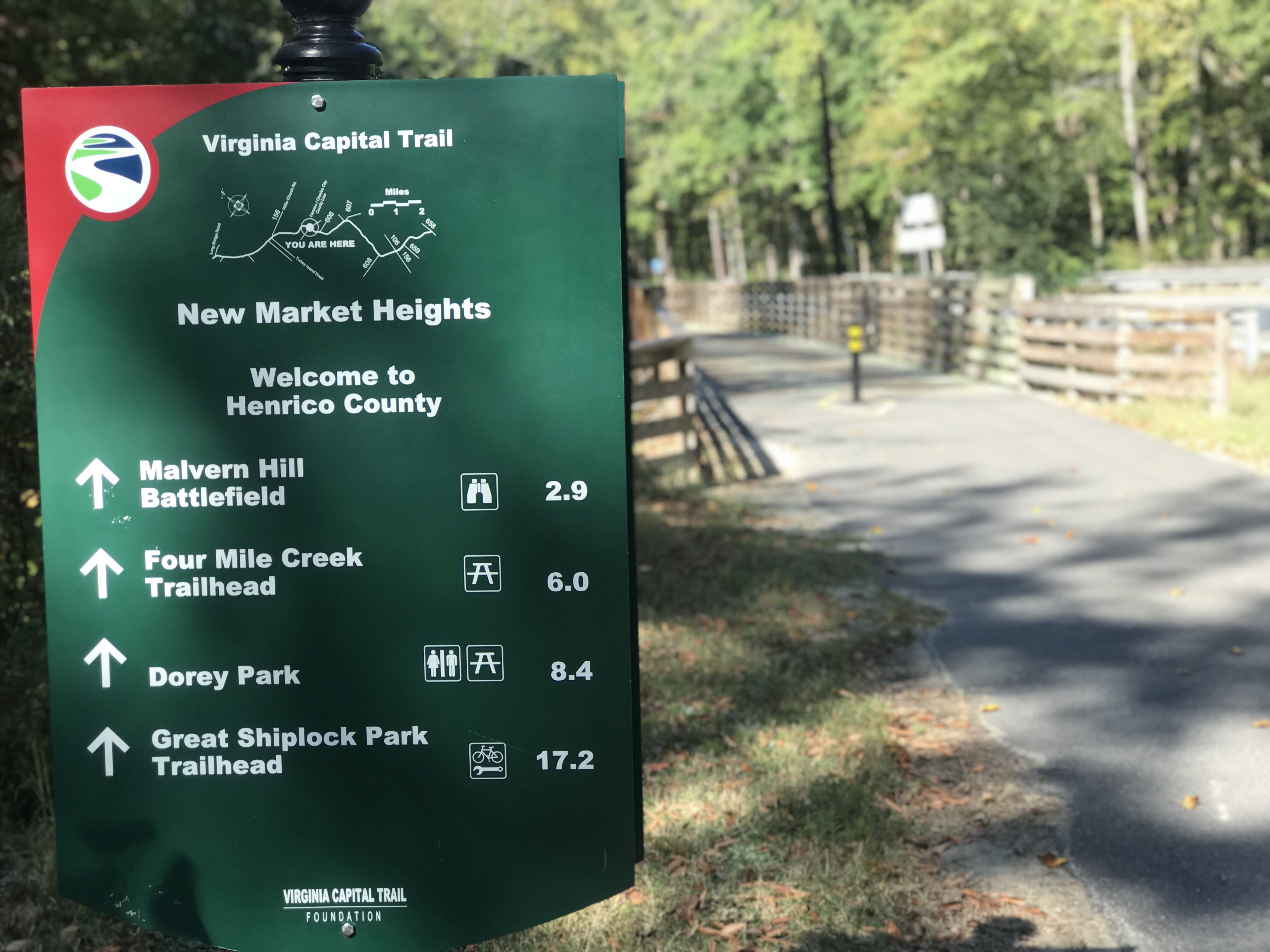
I carried two bottles of water and a few food packets. I would discover that was not enough. I was out of food by MP 42 when I went through the two parks. The first is Four Mile Creek Park. No facilities were open but a new restroom is almost complete. Two miles later was Dorey Park. It had facilities and presumably water fountains. But I would have to exit from the trail to go into the park and didn’t have the time. Or energy. I was bonking.

Four Mile Creek Park

I passed the Valero gas station at MP 43.5 and then doubled back. I knew I was just eight miles from the start but I also knew I needed something. I went into the Fast Mart, saw the water then opted instead for Gatorade. I went to the counter and there were two young women “working.” There were two registers and one woman had a “Register Closed” sign on hers as she was checking her phone. The other woman, with three nostril rings, said “I’ll be with you in a second.”

I waited for one minute and she was still standing there. I think she was in mid-transaction with someone who left the store, maybe to go out to the car and get their wallet. Rather than pause or cancel the transaction she just stood there. I apologized and told her I didn’t have time to wait. I left with nothing.

I went another four miles and came to a 7-Eleven. At this point, I was only two and one-half miles from start and all downhill. But I stopped. I needed water. And went for a Slurpy. I poured that into both bottles and I was great.

Chickahominy River

I was watching the time and wanted to ride Libby Hill. Three miles earlier I had no energy to tackle the famous climb used in the 2015 World Cycling Championships. When I got to my car I was ready to climb. I decided I would check Waze. If traffic going home was horrific and there was no chance of getting to Aiden’s game then I would continue my ride.
Berkeley Plantation MP30

I stopped at the car. I opened Waze and saw I could be home by 5:30 if I left right then. I ended my ride, took a “shower” with Chamois Butt’r Skin Wash, and headed home.

End of the trail in Richmond

It was a nice ride. Ultimately my ride didn’t end short because of a baseball game. It ended short because Amtrak can’t run a train on schedule.

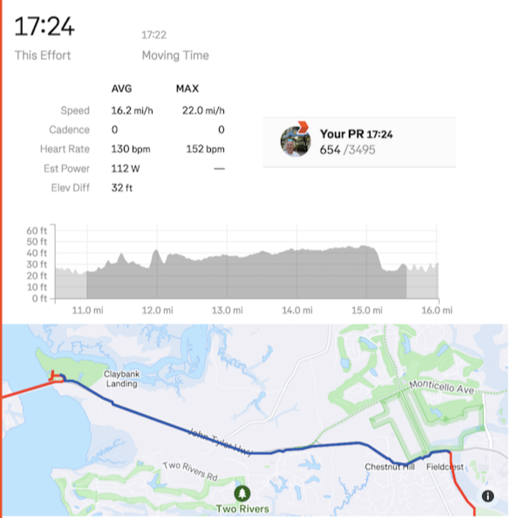
*My average was just 15.1 mph. Knocking out the slow-rolling part in Williamsburg, it was more than 16 mph.

DISTANCE: 59 miles (95 km)

Cap to Cap to Cap

RICHMOND, VIRGINIA

It was a most beautiful day. Tim and I drove to Richmond and parked at the Great Shiplock Park which is about one mile from the Richmond Main Station. We rode to the station and waited.

Tim and the Great Shiplock Park

If only someone knew how to run a train. Sigh. A woman greeted us (nice) and told us the train was running late. Still under pandemic protocols, most of the large open station was closed off so people had to be in one area. The doors to the outdoor platform where one could breathe fresh air were locked.

Entrance to Main Station, Richmond

When the train arrived and arriving passengers disembarked they could not open the doors to get into the station. And we could not leave to get to the platform. Finally (maybe no more than two minutes but for some people, it probably seemed much longer), an employee came and opened the doors.

Great Shiplock Park (viewed from Amtrak)

Tim and I rolled our bikes onto the platform. The conductor said he had a bike rack in this car and “back there.” I guess I took this one and Tim went back there. We went to separate cars.

My bike aboard the train (ready to disembark)

The rack had one hook and I tried to hang my front wheel but the hook didn’t like a deeper rim that I had. I was able to turn it just right and hang it. I then saw an instruction sign that said to remove the front wheel. Not sure how that would have worked. I didn’t have my tool to remove the wheel readily available.

That also tells me Amtrak is not accommodating of many bikes. They must anticipate quick-release skewers which have been replaced by through-axles. Depending on the bike you may need a special tool to remove the wheel. I use a mini-rachet which I did not have with me. For an emergency, I could get to one in a tool kit inside my frame. As for bikes with bolted-on front wheels, they would be out of luck too. Amtrak can do better if they want to.

About halfway through the ride I put the bike in a luggage area. It fit better. I actually through we were approaching Williamsburg and was getting ready. But we weren’t.

Williamsburg, Va.

Once in Williamsburg, we rolled down through Duke of Glocester Street in Colonial Williamsburg. Very slowly. If Tim wanted a faster average speed today I killed it in Colonial Williamsburg.

Governor’s Palace, Colonial Williamsburg

Rather than take John Tyler Highway directly to Jamestown to meet the trail, my mapping took us through some residential areas. They were very pretty but I’m not sure about the benefit. The highway did have a bike lane for much of it. I think the only section it did not was where we finally picked it up.

Williamsburg

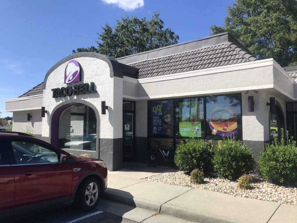
We passed a Taco Bell and grabbed a not-so-quick bite to eat knowing that food options were limited on the ride. It was 11:30 a.m.
Taco Bell, Williamsburg

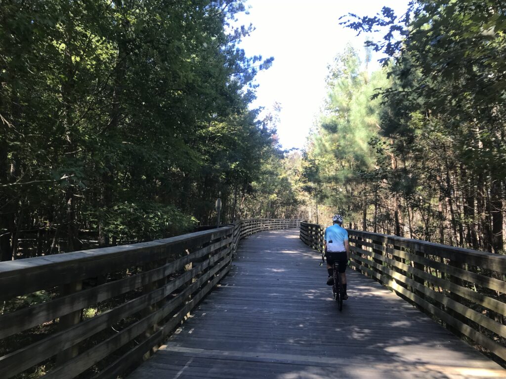
The trail in Jamestown was easy to find. The Virginia Capital Trail is a paved and boardwalk trail that follows the Rte. 5 corridor. While next to the highway almost all of it has a strand of trees between it and the road. When there is no traffic going by one does not see the road and it appears it is a trail in the woods.

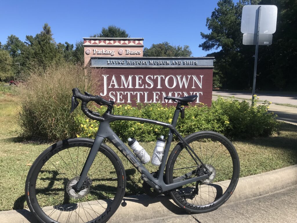
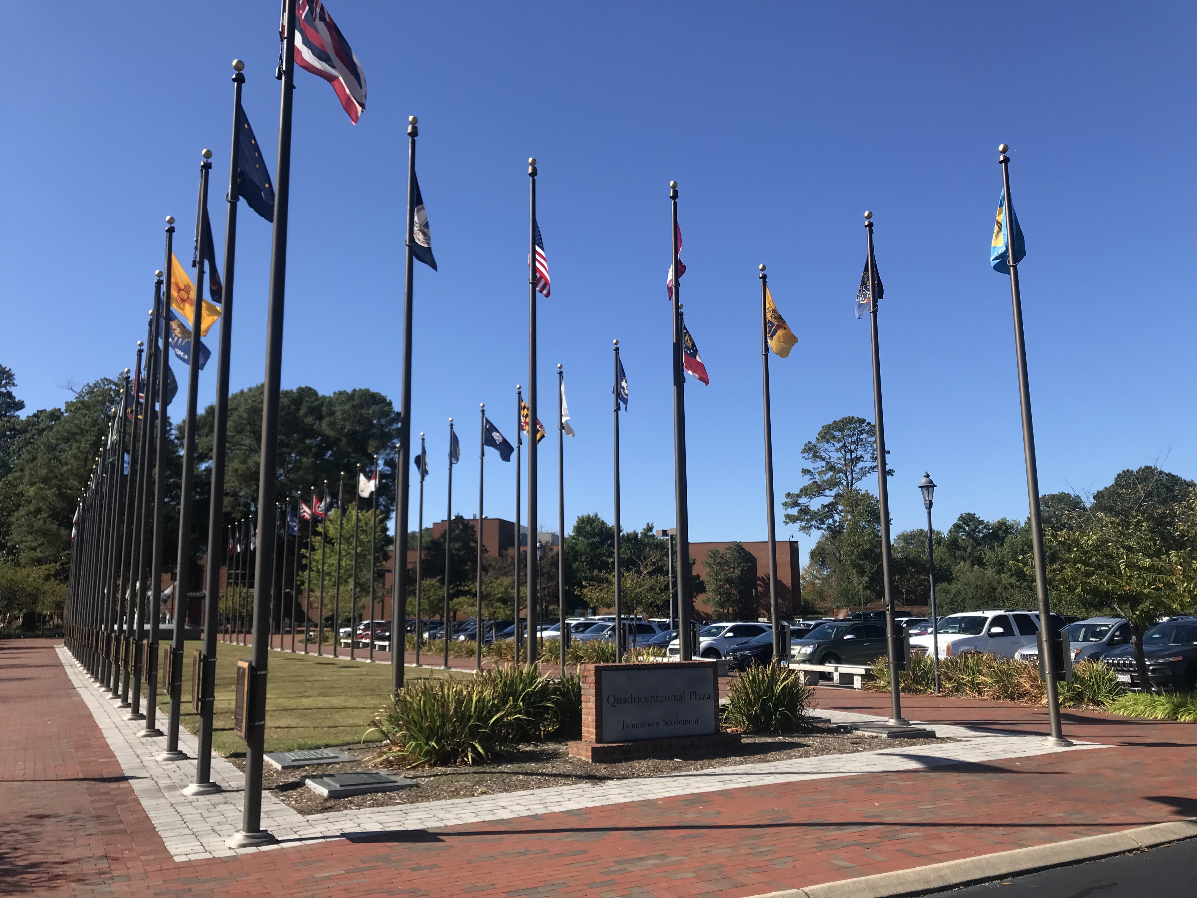
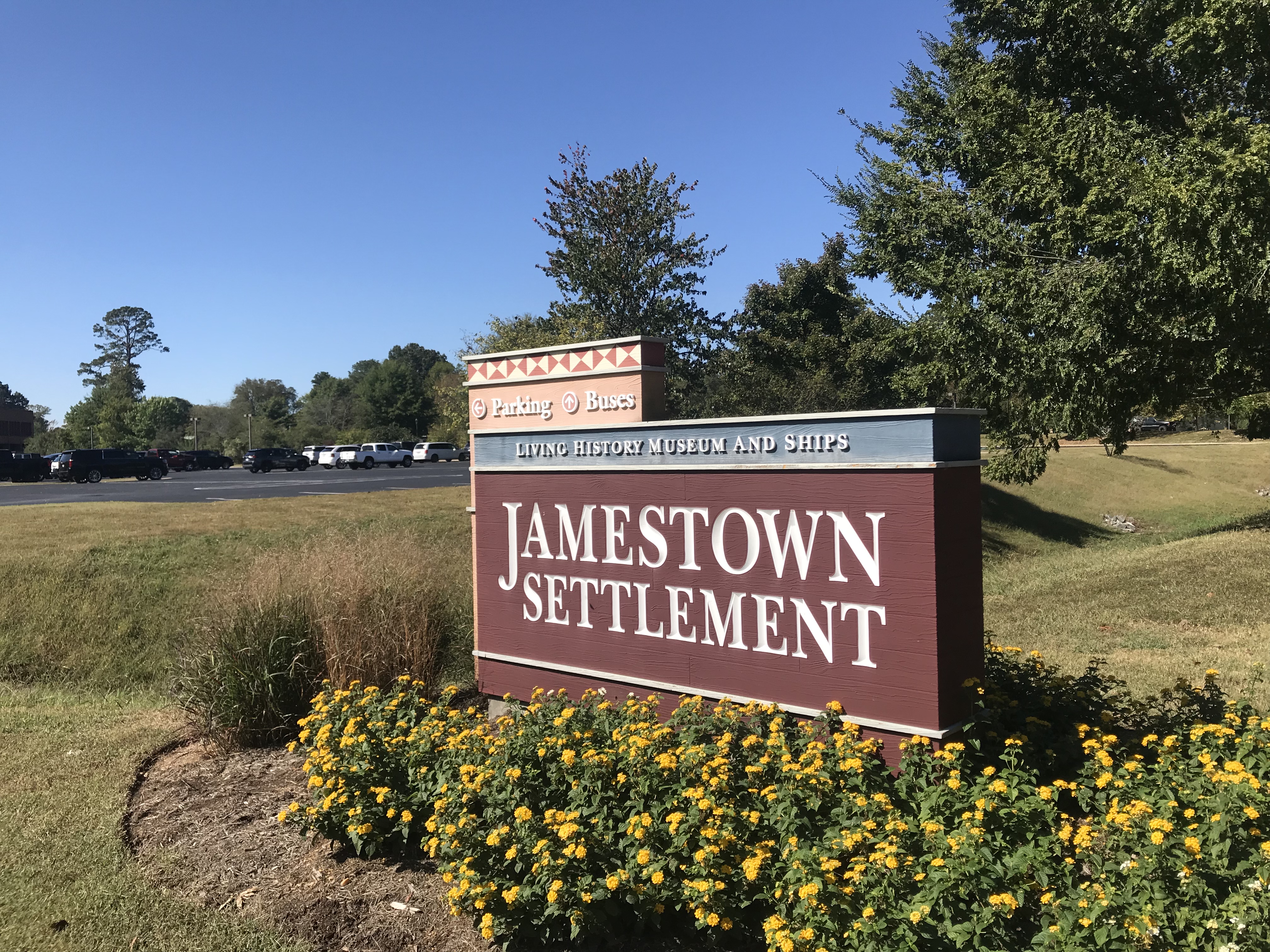
Jamestown Settlement

There are not many provisions on the trail. I had forgotten there was a very nice-looking deli restaurant at Mile 2.5 (Spokes + Art Provisions Co.). At Charles City, there is Haupts gas station which has some good fried chicken. Also in Charles City, there is Cul’s Courthouse Grille. And then northing until Mile 48.

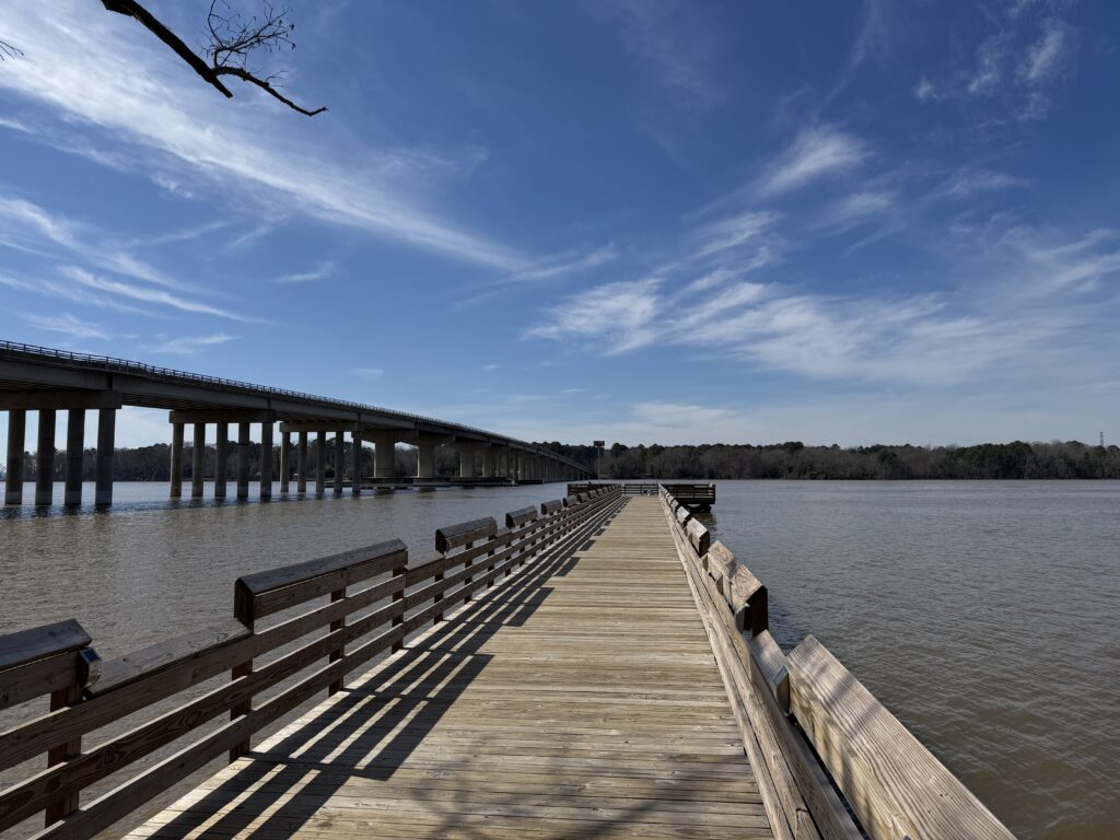
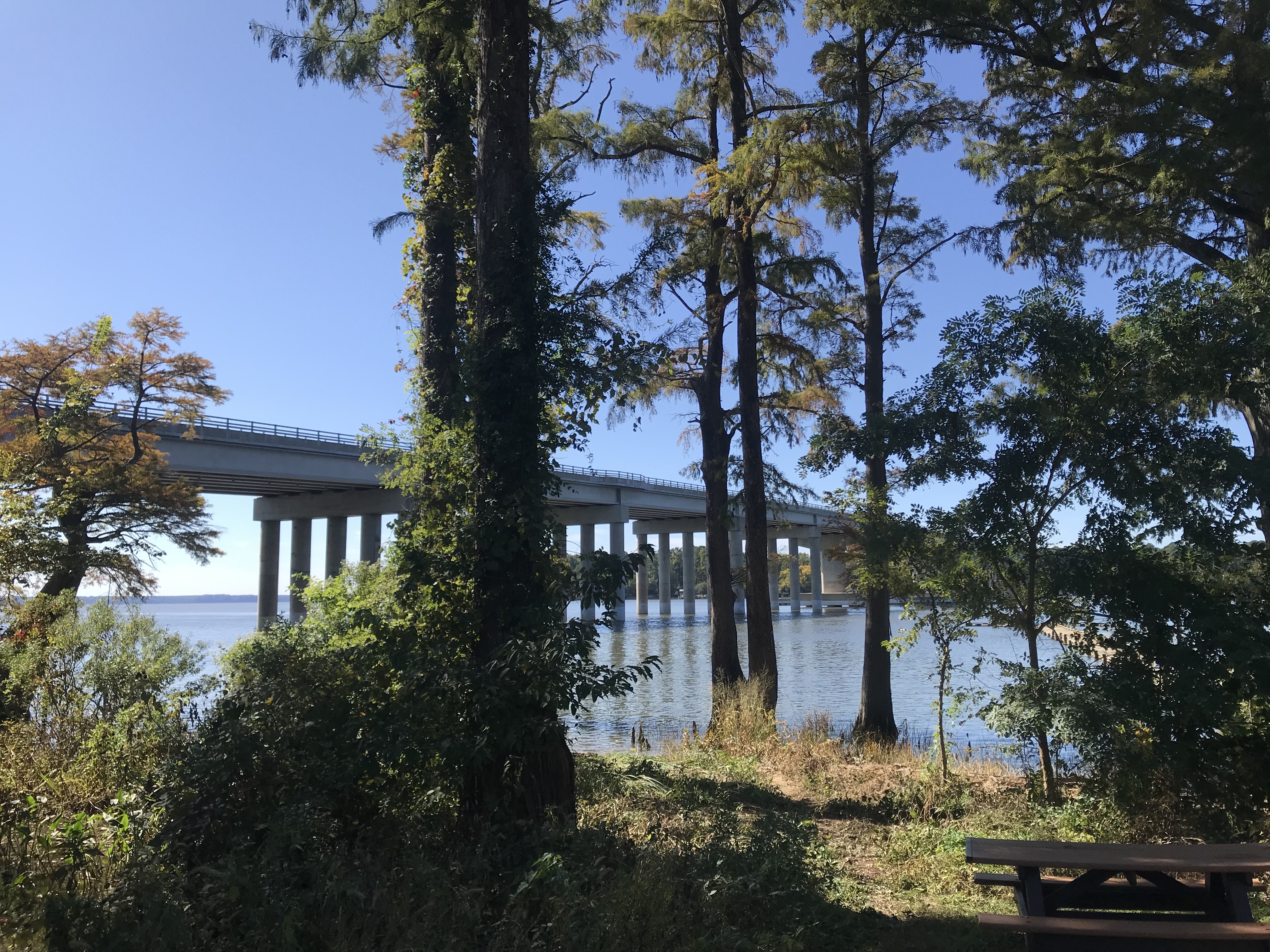
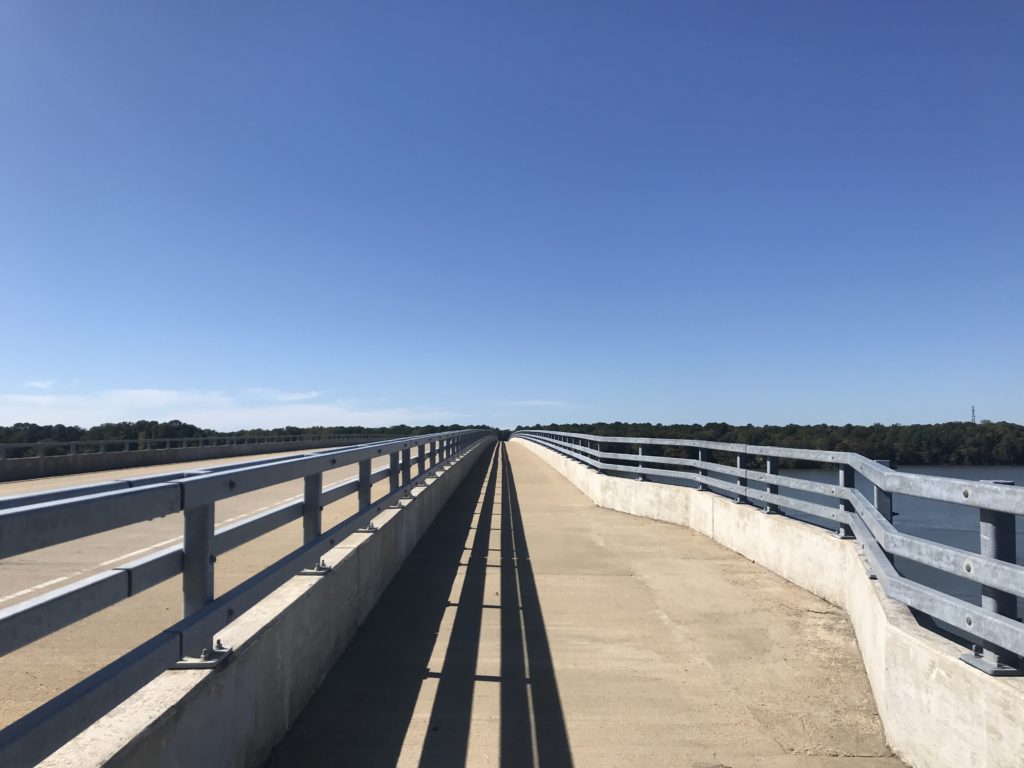
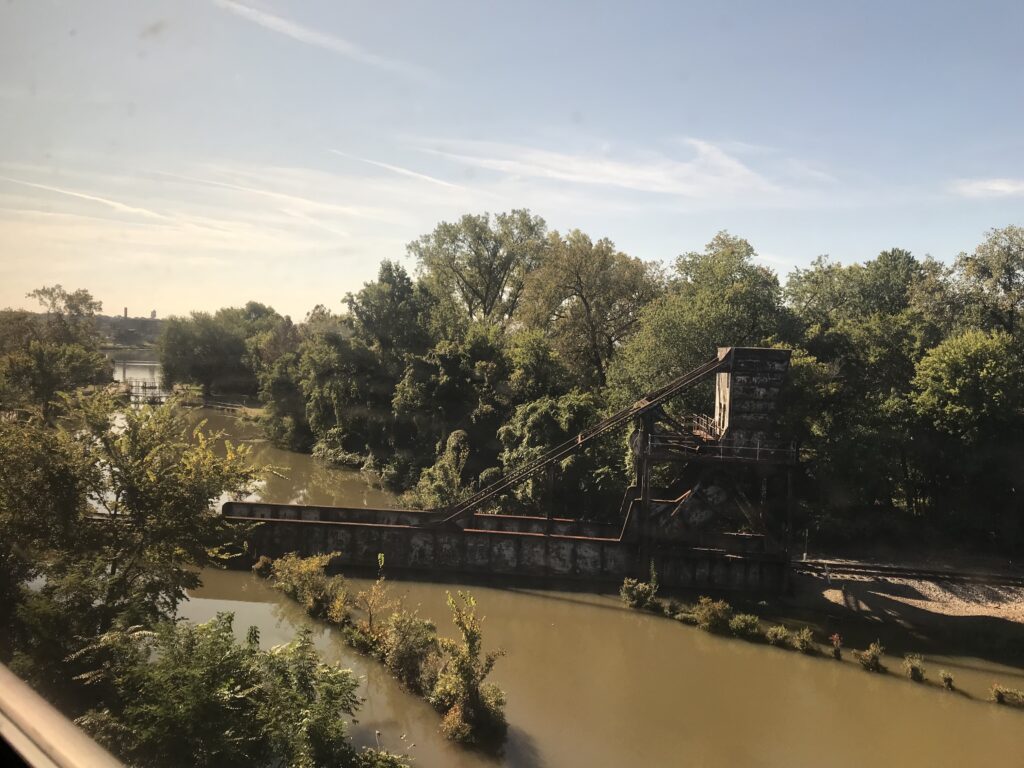
The long bridge at MP1

We had a wonderful headwind most of the way. But it was 72º and it was great.

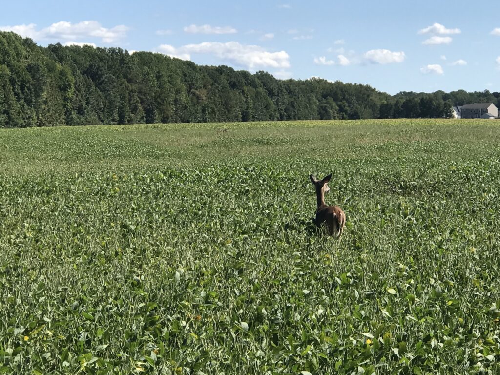
A deer is outstanding in his field

At Kingsland Road we left the trail as I opted for some back roads which added two to three miles. Tim was okay with that because he wanted to make sure we rode a metric century (100 km or 62.14 miles). The mileage would do that. These were roads used in the Climb to Conquer Cancer that I have ridder before. And I approved.

Chickahominy River

We stopped for water when we got back to the trail, around Mile 48 . There is a new 7-Eleven opening soon but was a store across the highway as well. Tim got water for the last five miles and we began the nice mostly downhill ride to Richmond.

Chickahominy River

I don’t know what picture I had painted of Libby Hill but I think Tim was picturing Mount Washington and not Libby Hill. When we got to Rocket’s Landing I could see the monument atop Libby Hill and pointed that out to Tim. I think he was relieved to see that it wasn’t far away and it wasn’t very high.

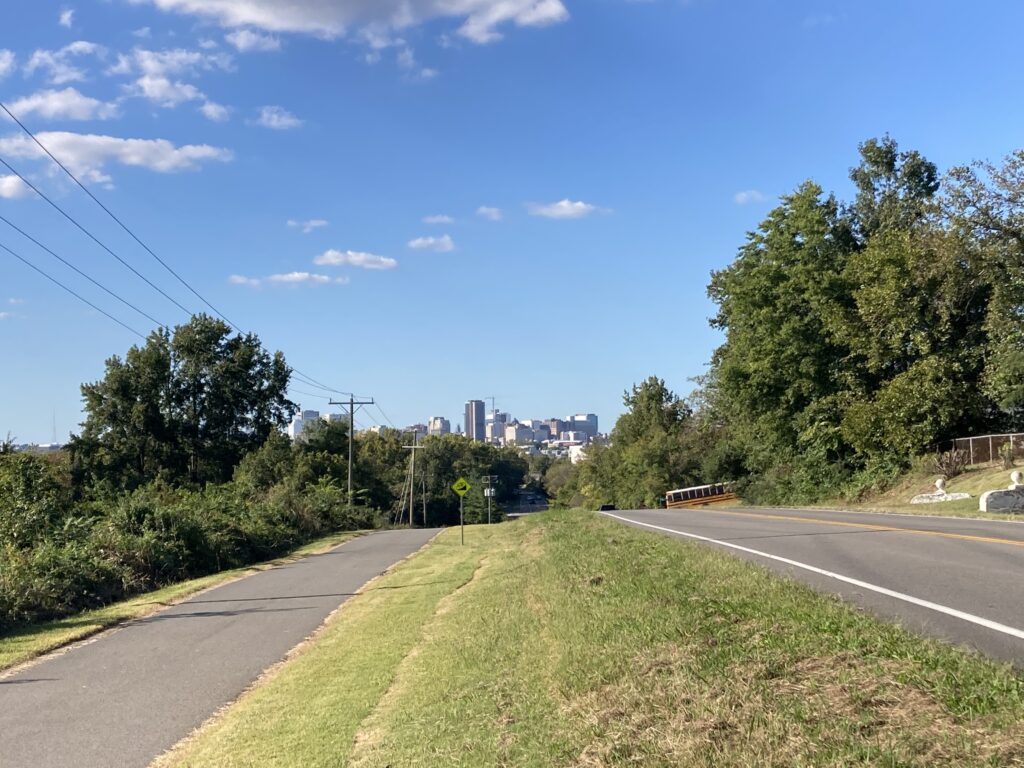
Richmond in the distance

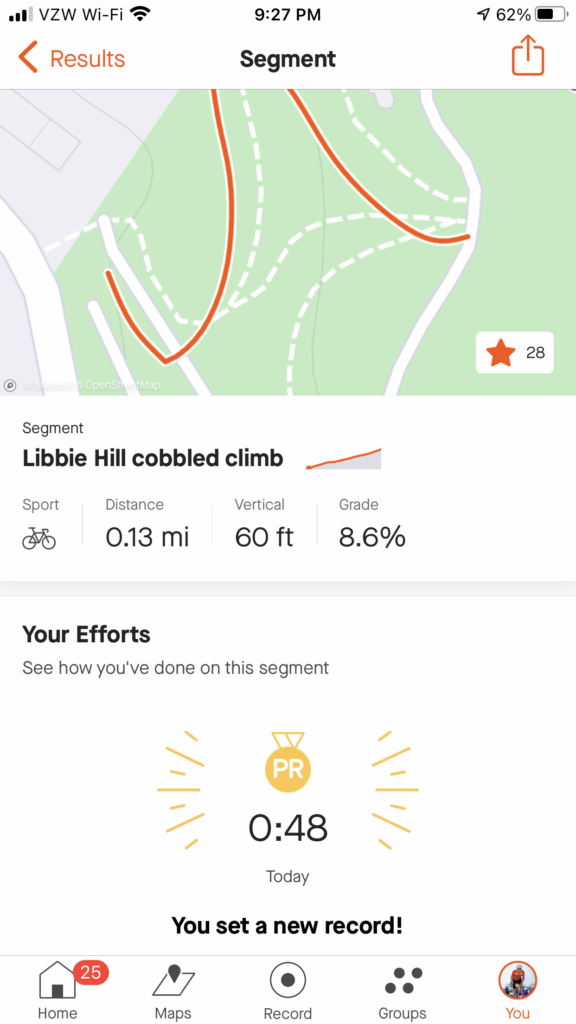
I wanted Libby Hill. Twice I raced it as a timed climb in the Climb to Conquer Cancer. Both times I finished at 0:53. Three weeks ago my time was good enough to win the 65-69 age group at the event. The problem for me is they had a 60-69 age group. I never saw official results and could not easily determine on Strava who I may have lost to but the most important person I am racing is me. And I wanted a good race time today.

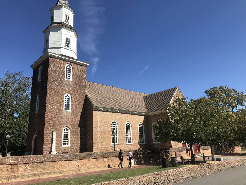
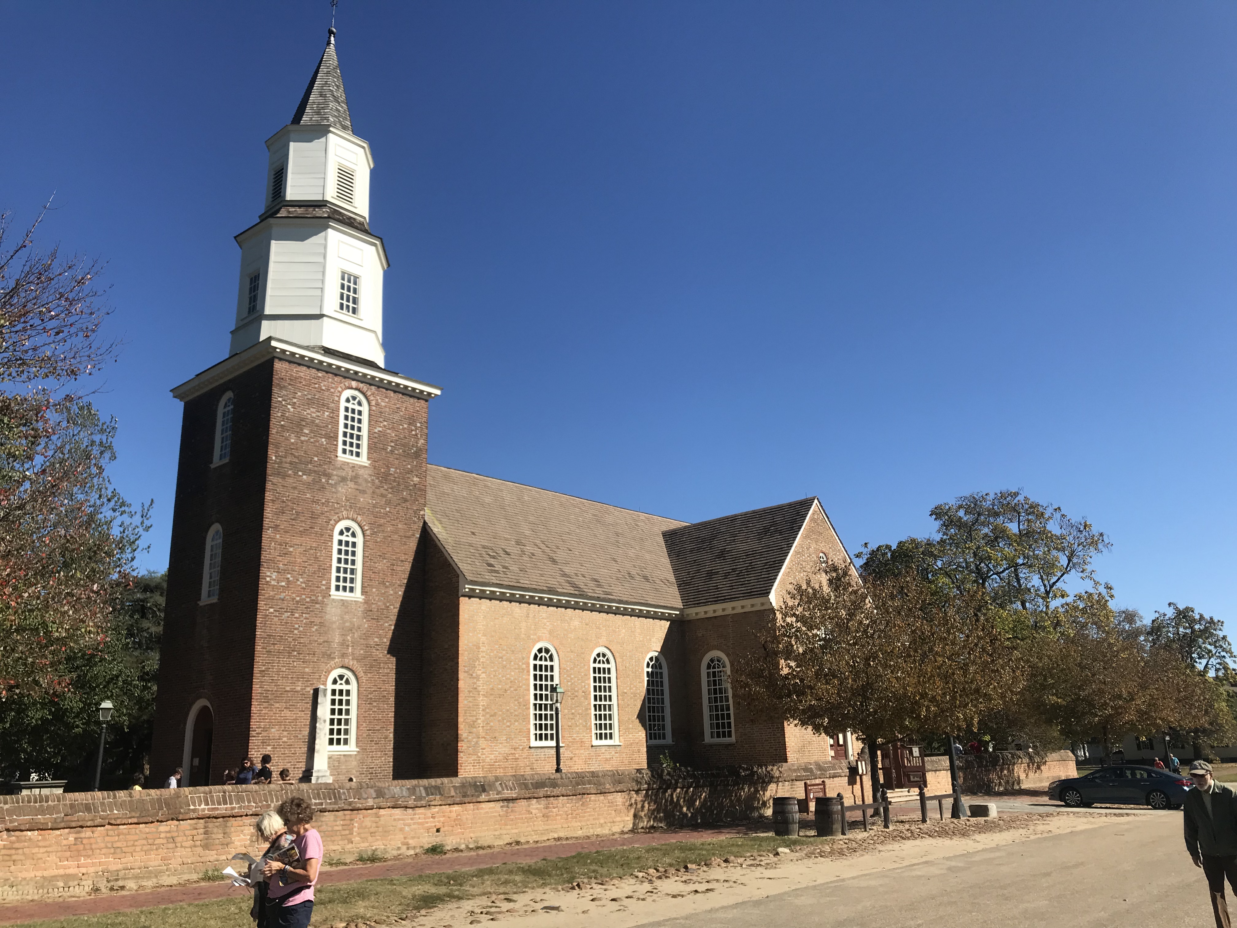
Church, Williamsburg, Va.

We came to the gated entrance (no vehicles permitted) and I showed Tim the climb. He thought it might take him four minutes. I pointed out that even if he went half as fast as me he’d still be there in under two minutes.

The trail

I was hoping for one second. I hit the climb from a dead stop. The bike started to bounce. I made the hard left onto the climb and felt the rear wheel slip on the wet cobbles as here there is always some runoff or drainage across the road. It’s about 6″-12″ at best (worst).

One of the boardwalk bridges on the trail

My helmet, which I thought was tight, was moving as were my sunglasses. I never looked at my Wahoo Live Segments to see if I was ahead or behind my PR pace.

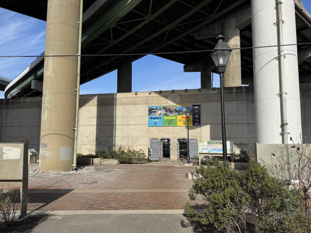
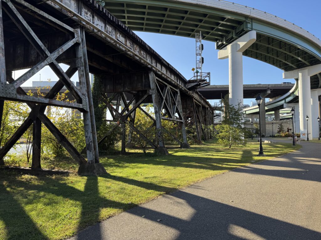
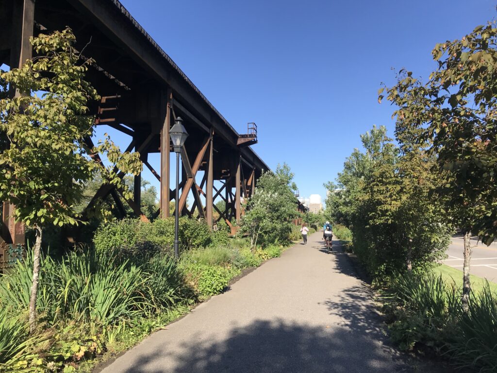
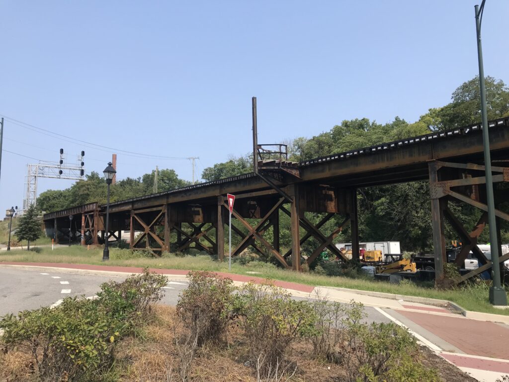
Near Great Shiplock Park, passing underneath the train tracks, Richmond

Halfway up is the sharp right-hander. Once I turned it I got out of the saddle. Three weeks ago I tried standing here and the bike bounced so much I sat back down. Today I stood and let the bike bounce.

Strava showed me 0:47. Strava disagreed.

I’m not sure if I was out of the saddle the rest of the way or if I sat. But I went across the top and saw the time – 0:47.

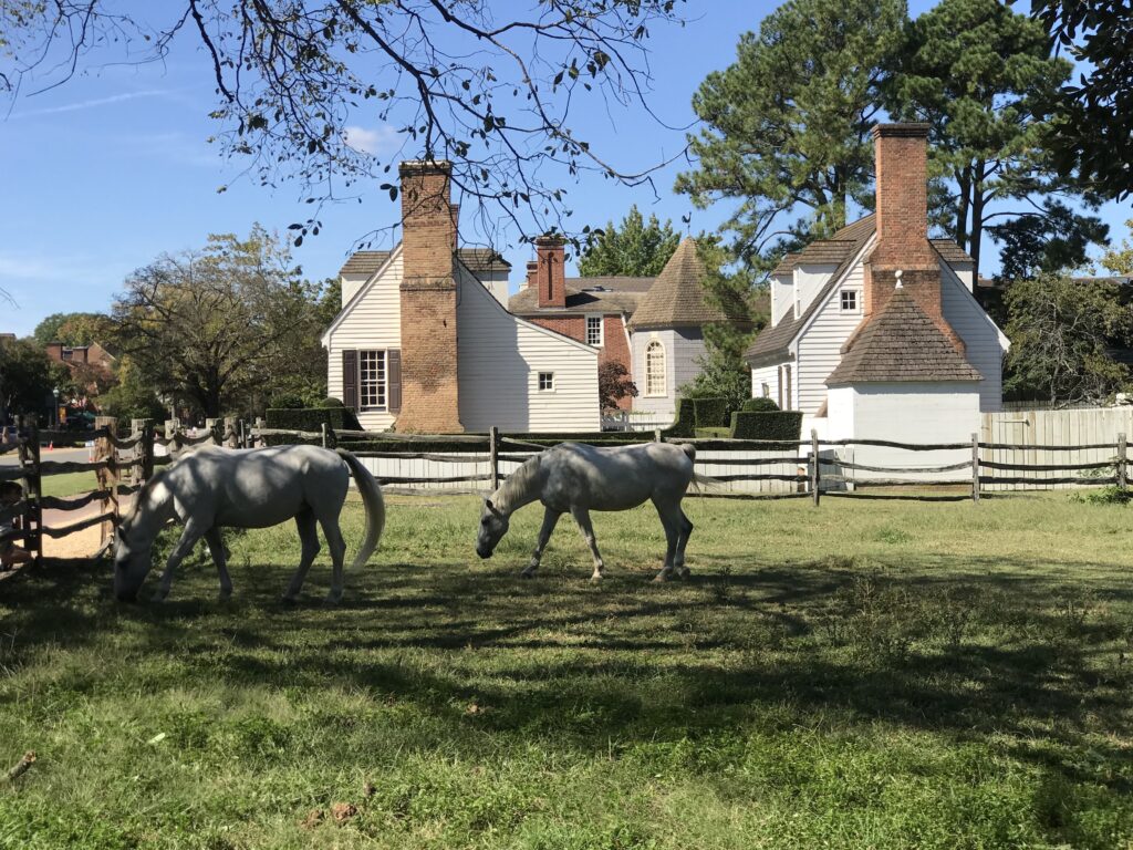
Horses in Williamsburg

I killed it. I destroyed my previous best time. Then I saw Tim was coming and I was encouraging him as well. And in his first time, he came in 1:33. Excellent! Being his first time he now has a marker for a PR for the next time as well.

I beat Libby Hill. Credit: Tim

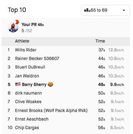
Officially, Strava would record my time as 0:48. I still destroyed it. And maybe the next cancer climb, a 0:48 would be good enough for the 60-69 group. (They should align with Strava’s 65-69 group but that’s a different discussion.)

The top two times were done on trainers and not actually at Libby Hill

We descended back to the car. Tim saw a parking lot that looked promising to cut through although we didn’t need to. But it had two bridges which led to Stone Brewing. When we exited we were in the outdor cafe area of the brewery. Oops. Let us ride between your tables. We went through the parking lot and were back on the trail only 400 meters from where we parked. In all we rode through three of Virginia’s capitals through history, Williamsburg, Jamestown, and Richmond.


WEIGHT: 170 pounds

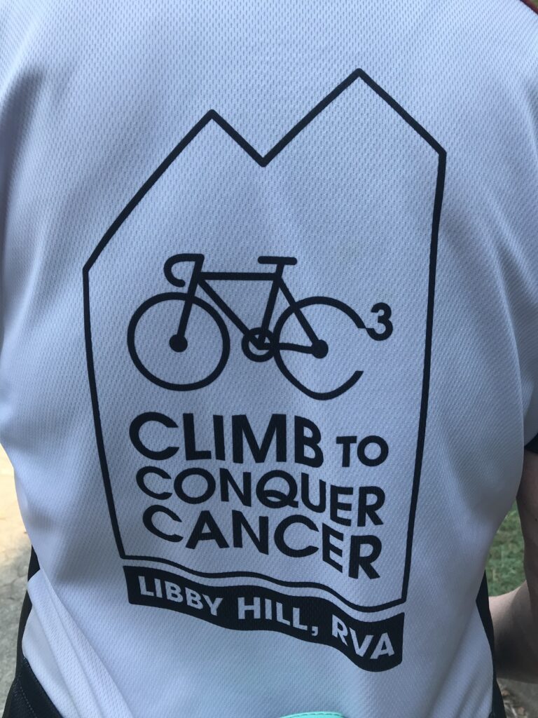
Climb to Conquer Cancer

RICHMOND, VIRGINIA

I came to Richmond wanting to set a PR on Libby Hill. And if it was good enough, maybe win my age group (fat chance). I failed. I tied. Ugh.

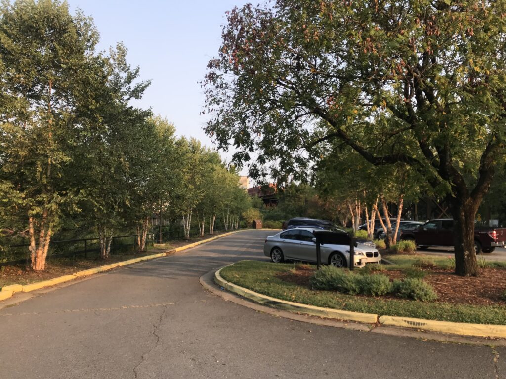
Parking at Great Shiplock Park in Richmond

The Climb to Conquer Cancer is an event run by Amy’s Army of Cancer Warriors benefitting the Massey Cancer Center at Virginia Commonwealth University. I first did this event two years ago. In that event, I climbed Libby Hill three times, one pre-race, and twice during the race. Today I climbed it to get to registration and then during the event. I also did the climb once when I rode from Williamsburg to Richmond. So this was my sixth time.

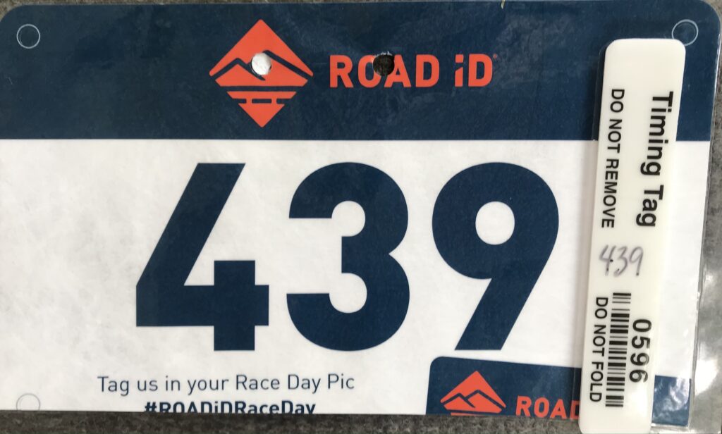
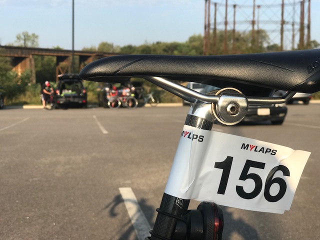
Timing Chip – Climb to Conquer Cancer

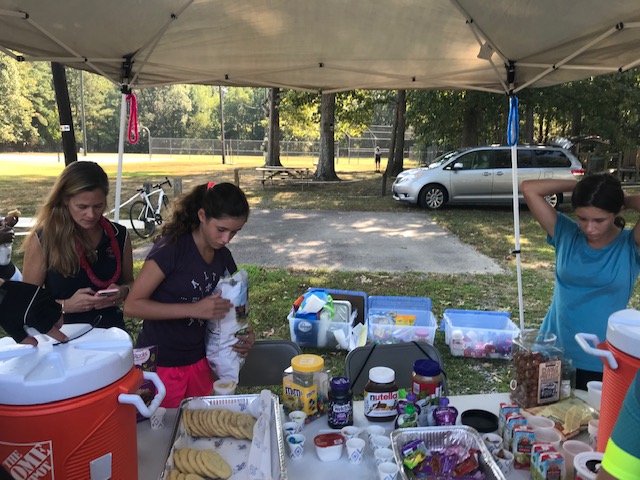
In the COVID era, some events haven’t come back (Livestrong-Austin is canceled next month). Others are modified with smaller fields. This was an extreme modification. They offered no rest stops. None. Nada. I would have to carry everything I needed with me or stop along the route.

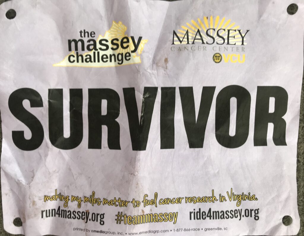
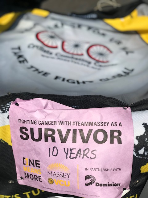
Survivor Bib – Climb to Conquer Cancer

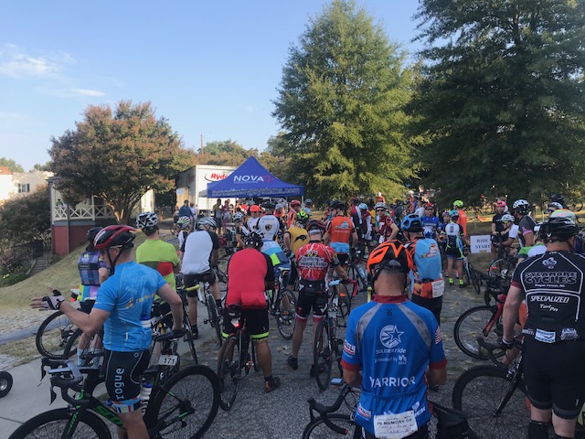
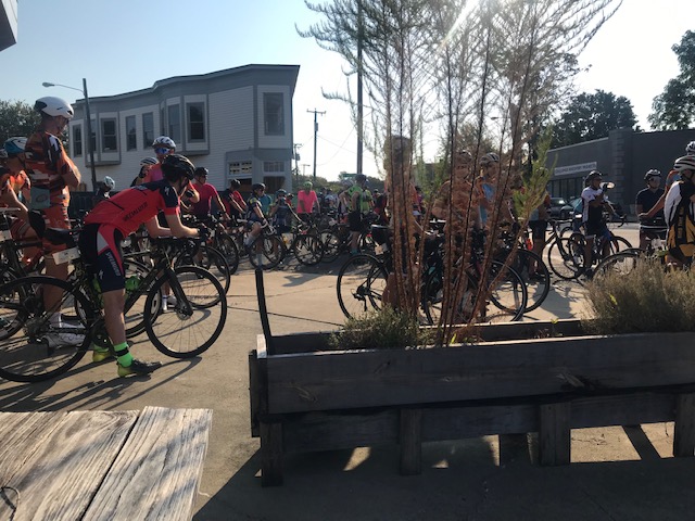
Unlike past years where there was a small ceremony, National Anthem, then a police-escorted roll-out, today was “show and go.” For me, it meant not forming up with any other riders.

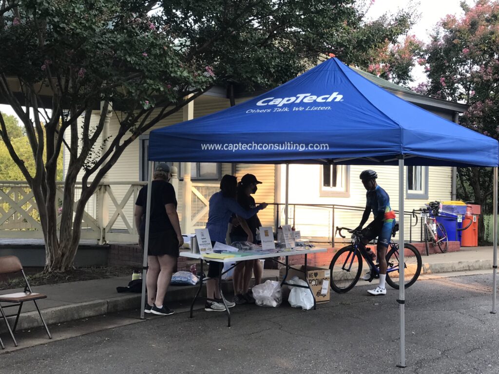
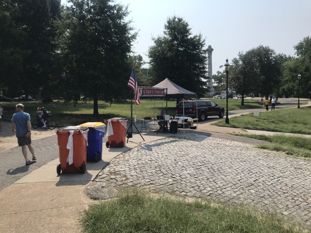
Registration Tent

I left the house around 6:15 a.m. which was a little late. My ETA was 7:45 which was later than I wanted to arrive. I parked at Great Shiplock Park which is convenient enough. I had iced my bottles and took Skratch mix with me. Added that to one bottle, poured ice water in both. Grabbed two packs of entry chews from Skratch and one gel. And that would be my nutrition and hydration for the day.

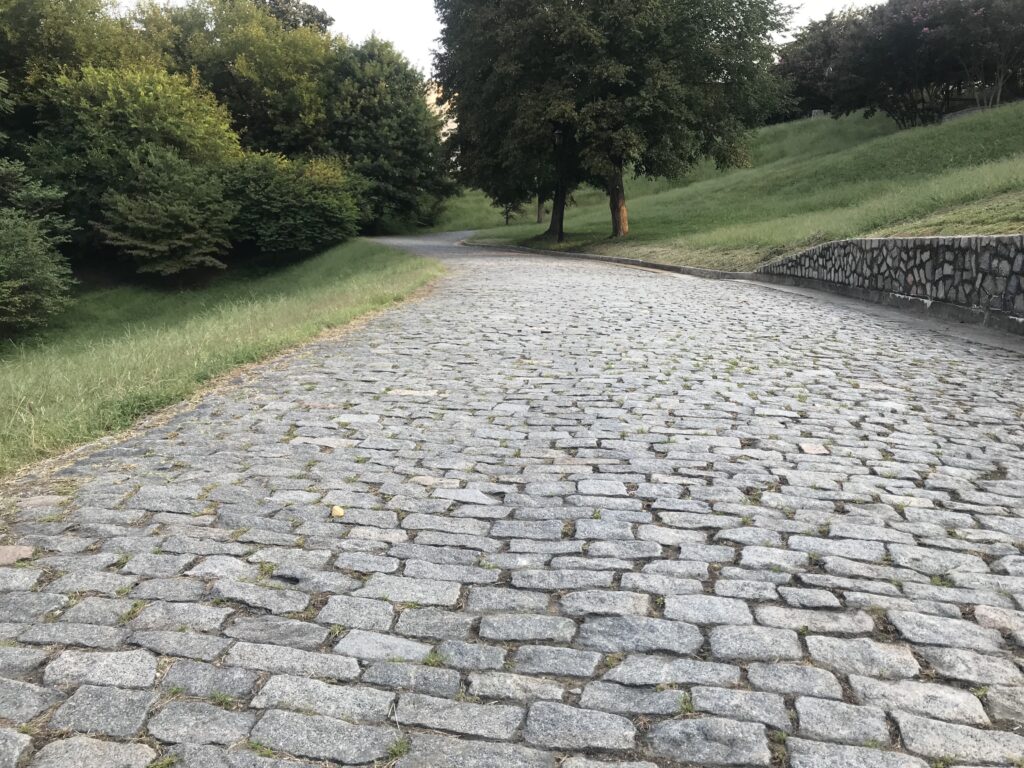
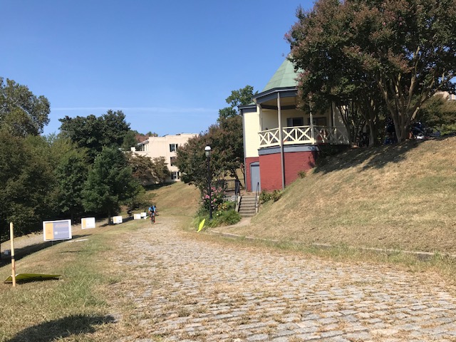
Libby Hill Cobbles.

I rode up Libby Hill, even stopping to take a picture of the cobbled route. It is much bumpier than I remembered.

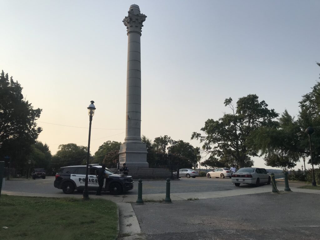
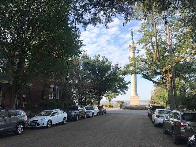
Monument Libby Hill Richmond

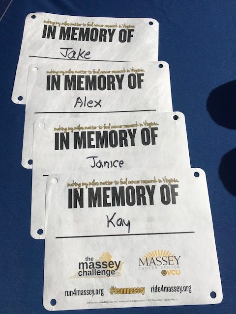
Registration was giving your name and being handed a timing chip plate for the bike. With one zip tie, it never fit well on the bike. I should have forced the issue and used two ties. There were “bibs” for survivors, in honor of, and in memory of. But there were no Sharpies to write names on them. And there were no safety pins to attach and wear them.

Was this Amy?

I signed up knowing this would be a “lite” version. I was OK with not having support. But I wasn’t prepared for not having a Sharpie or safety pins. I had those in my car. I would have taken some to registration. But this was a major disappointment.

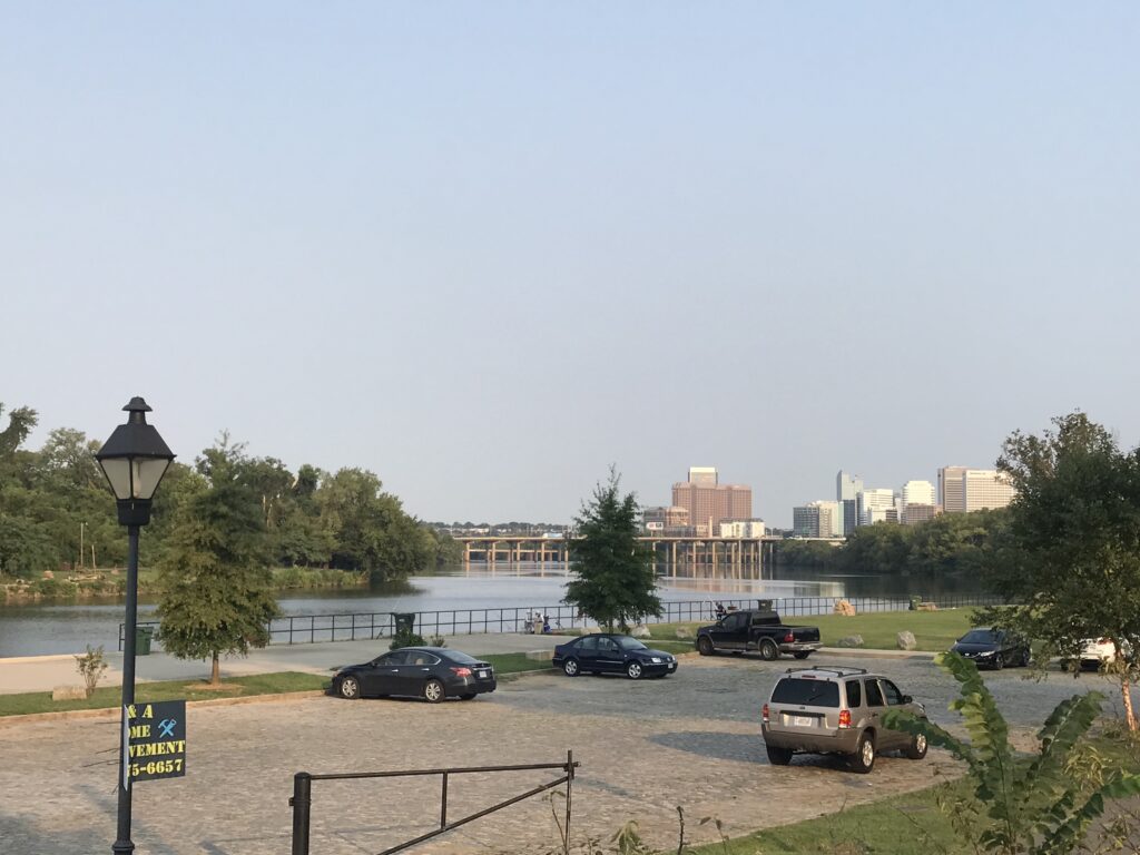
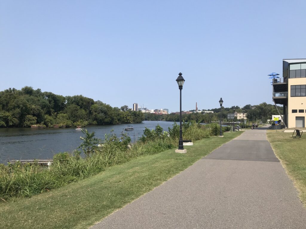
James River, Richmond

On a cancer ride, there is great community among the riders when they wear the names of others or even themselves. These are talking points. Connecting with others. And today, this ride missed that.

Battlefield Park Road

It was a beautiful day. The temperature at registration was 65º. There were some riders milling around and I wasn’t sure if they were waiting to register or not. I leaned my bike against a tree and registered. Then I rolled out by myself.

My Wahoo GPS seemed slow in drawing the route for me so I navigated from memory, a little, before it picked up the track. I only missed one turn but knew it right away. And then I was off and riding.

Virginia Capitol Trail

I had marked a number of segments, most were in the first half of the route, that I would compete for PRs. And they started coming just one after another. And each one was a PR. I caught and passed some riders. Twice I was passed by a paceline but it was actually once. After having been passed the paceline took a break at the 7-Eleven while I kept going.

Osborne Turnpike, Richmond

I rationed my food and water and never stepped off the bike. I put a foot down in the first block at a traffic light, then again crossing Rte 5, and finally, I took a natural break on a deserted side road (in the woods). No riders went by. I literally was by myself all day long only occasionally seeing riders up the road and passing them.

East Main Street, Richmond

Around Mile 50, with no additional food or hydration, my Wahoo tempted me with GO! I decided not to contest any more PR segments, waiting instead for the finish. I came to Libby Hill. There were a couple of volunteers at the base. I turned onto the cobbles.

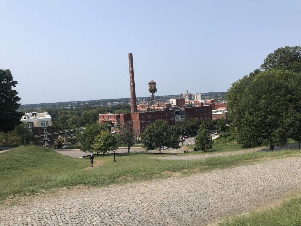
Looking down Libby Hill

I have a bike better equipped for climbing the cobbles this year than I did two years ago. And I have a body better equipped. I should have set a PR. I looked for the gutter where I could ride the concrete instead of the cobbles. When that ended I turned the last corner. I saw a photographer so I naturally stood because standing photos are so much better than seated. But I quickly took a seat. It was too rough to be standing.

Finish line on Libby Hill

I finished. I asked about the timing chips and was told I could keep mine. There was nothing at the end. I wanted to take a photo of someone finishing. No one came. I left.

Capitol Trail coming back into Richmond

Other than Libby Hill, I’d say there are no hills on route at least after the first five miles. It’s a rolling country route, mostly roads but some on the Virginia Capital Trail. It’s neat to finish on Libby Hill. And it’s a good cause. I hope they can get back to a fully supported ride. With safety pins.


I don’t know about the timing on the climb. I sort of trust Strava uploads more than the chips on our bikes. I do not know what triggered the start of my climb. I did not see any timing mechanism at the start, only at the finish.

I don’t know what age groups the event has. If they use what Strava (and Mount Washington Auto Road Hillclimb) uses, I would be in the 65-69 age group. I was 9th overall, all-time, in my age group and five of those were done on Zwift in the comfort of their homes. And no one today was faster. But there may be someone who doesn’t use Strava. Or timing – maybe mine didn’t record for the event. I don’t know. And maybe they use a 60-69 age group and I can’t see the 60-64 age group. But it does look like maybe, just maybe, I won that age group today.

Overall, of people who uploaded to Strava, I was 16th out of 40.

Cap to Cap

RICHMOND, VIRGINIA

The goal: Park in Richmond, take a train to Williamsburg and ride back on the Virginia Capital Trail.

I was thinking Union Station in D.C. with its six-level parking garage. In Richmond, I found nothing other than a mostly vacant lot near the train station which needed a parking app. I drove a few blocks away and found on-street parking. After all, I was riding a bike today so it really didn’t matter how far away I parked.

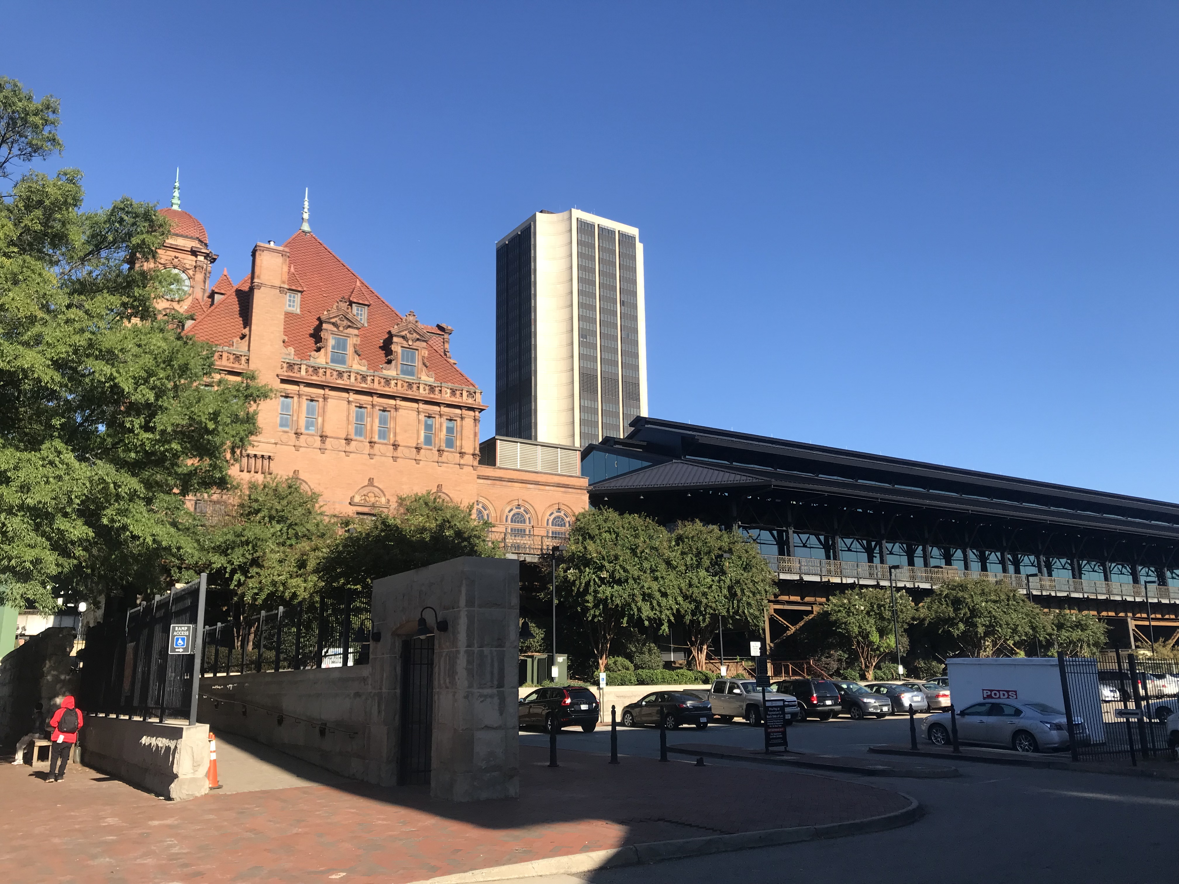
Richmond Main Train Station

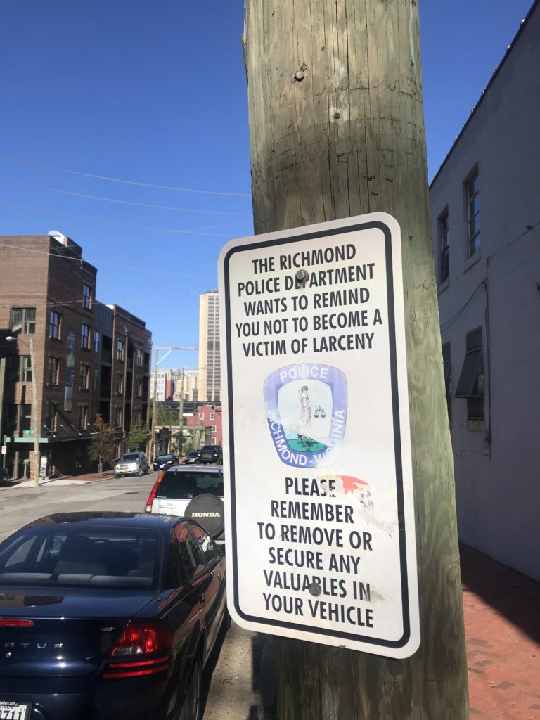
The area where I parked seemed a little sketchy. Next time: I will park at the trailhead at the bottom of Pear St. then bike to the station.

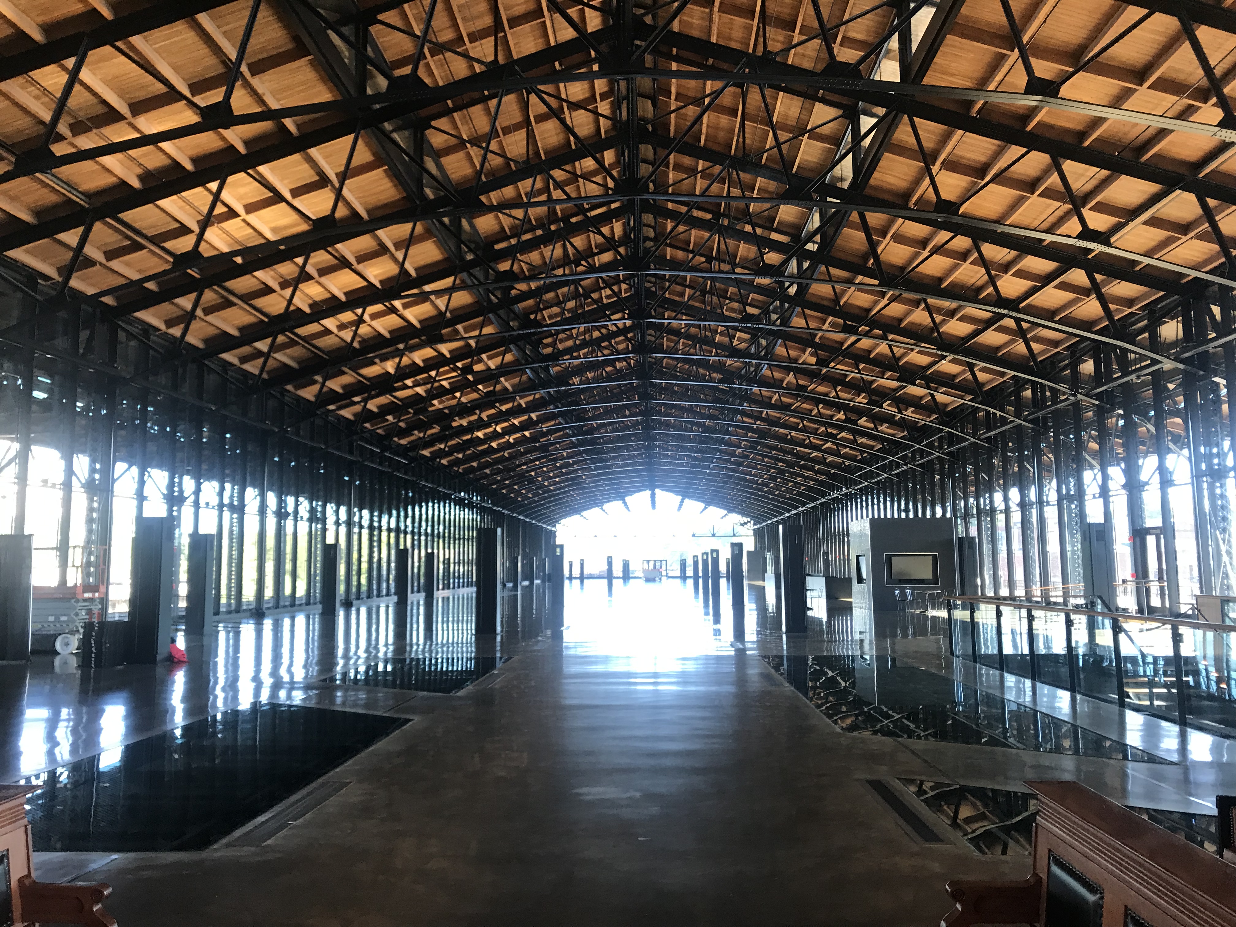
Inside Richmond station

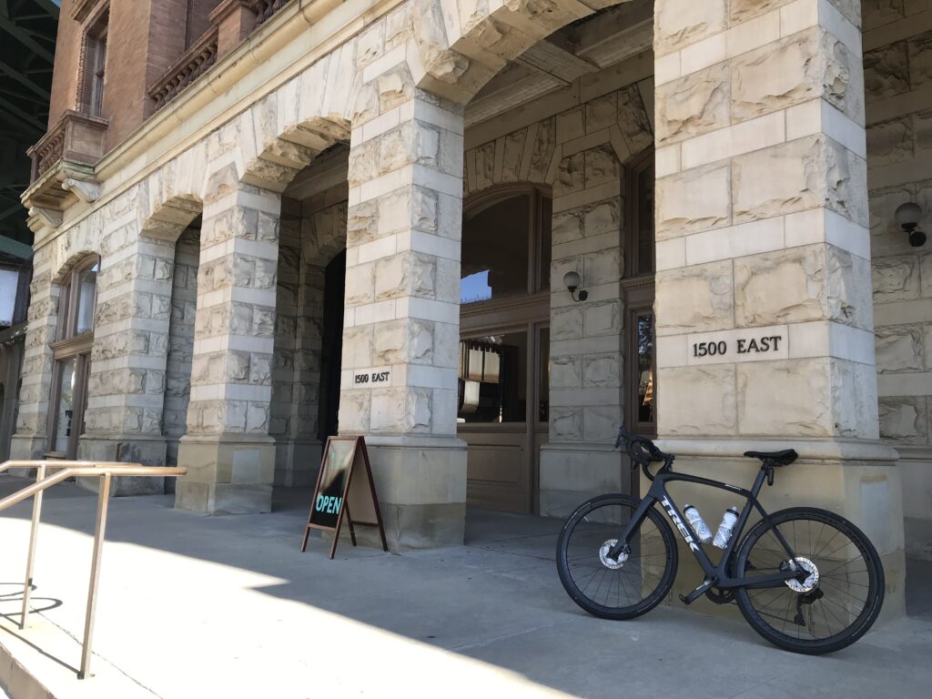
Like so many U.S. train stations, the Richmond Main Station is a treasure. What a beautiful building. It was, however, lacking in signage. I had no idea which track my train was arriving on or how late it would be. It was scheduled at 10:03 a.m. but had not arrived by then.

I had made a bike reservation so someone should have known that I was boarding with a bike. The baggage car was at the front of the train. There was one boarding area, in the middle, where the conductor checked our tickets.

Richmond Main

I had to enter the middle of the train. When I asked the conductor where I should put my bike he said “anywhere.” I was expecting two hooks per car but found none. One we got rolling he walked it through two cars to the baggage car and hung it on a hook.

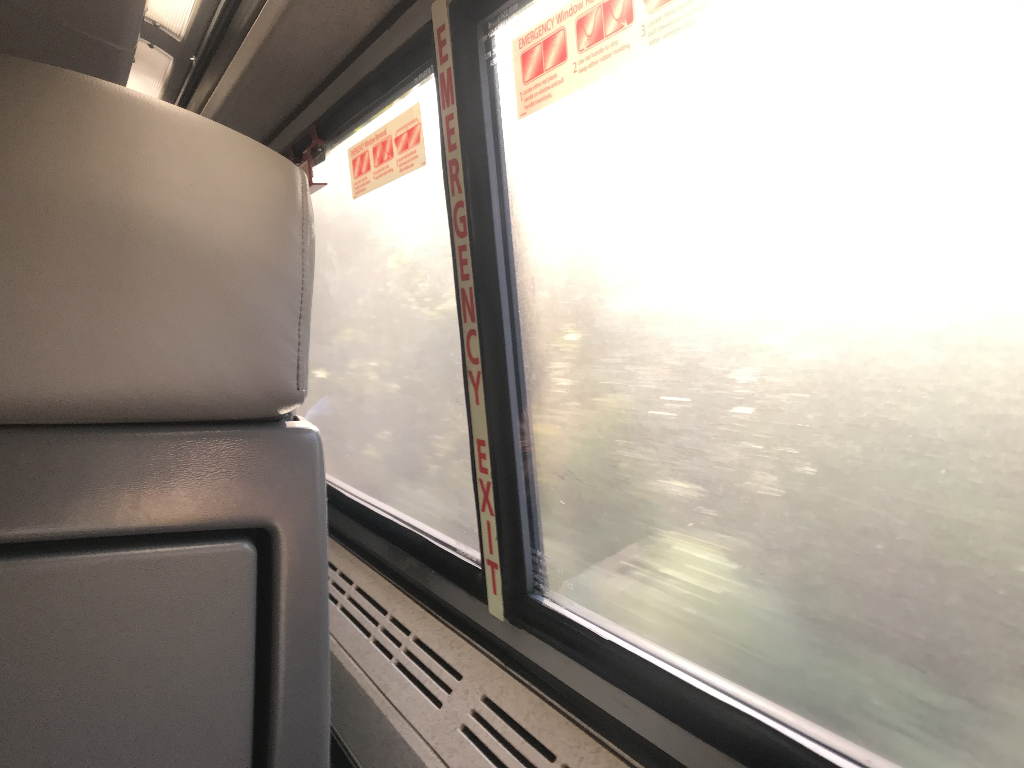
The train ride could have been enjoyable The windows were filthy dirty and it seemed the engineer loved blowing that train whistle. Seems to me that there should be better ways in 2019 to warn people of an oncoming train rather than a whistle. I’m not sure I ever heard a train in Switzerland use one.

Dirty windows

With the glare of the sun hitting those windows, it was hard to see any scenery. But mostly it was a forested area from Richmond to Williamsburg.

The seats were much better than the last time I rode a train. Only the constant whistle kept it from being truly enjoyable.

At the Williamsburg station, I had to exit from the middle of the train then walk back up to the front to pick up my bike. Seems the two cyclists would have been better served to exit with their bikes.

Colonial Williamsburg

I had no clue where I was but then – I was in Colonial Williamsburg. I rode the traffic-free streets for a few minutes then found Rte. 5 towards Jamestown.

Arriving at Jamestown Settlement, I met Terry Moran. We would ride together the first 13 miles of the Virginia Capital Trail before he would turn around and go back to his Williamsburg home.

Terry Moran

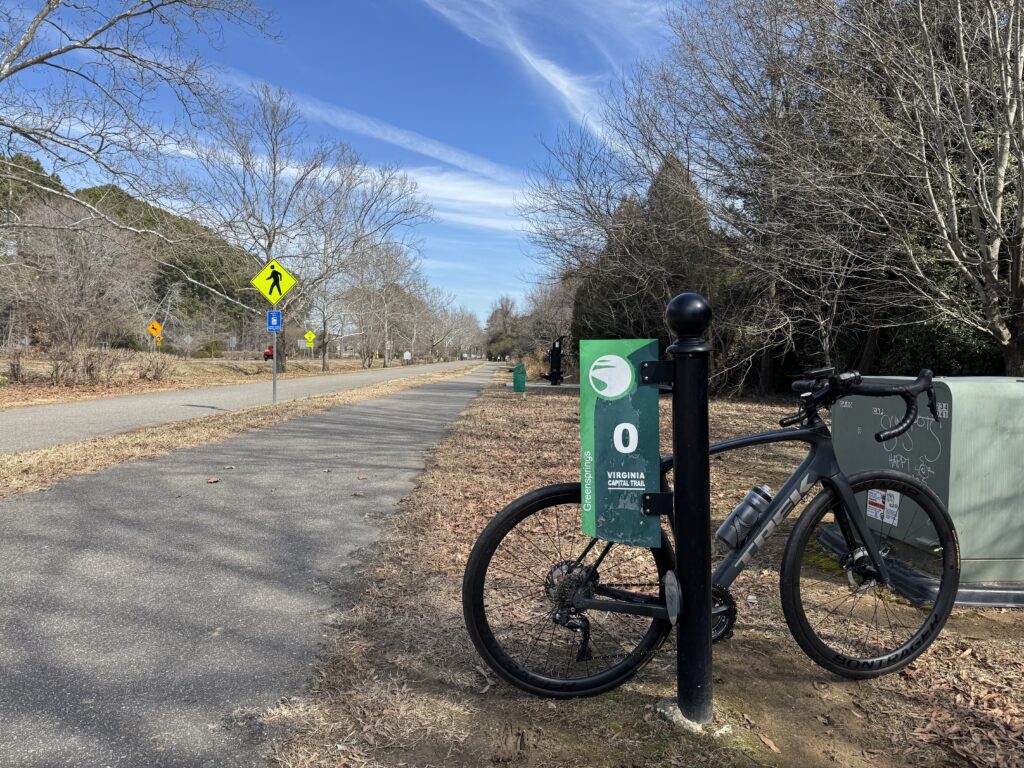
The trail begins here and is a 51-mile bike trail from Richmond to Jamestown. It is 98% trail with two small portions at Charles City diverted to the street as well as one section of about 1/4 mile near Richmond.

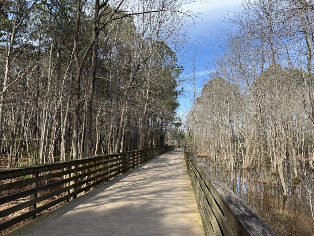
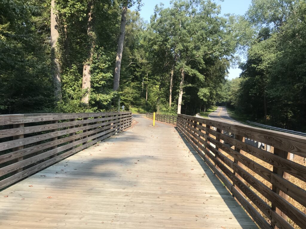
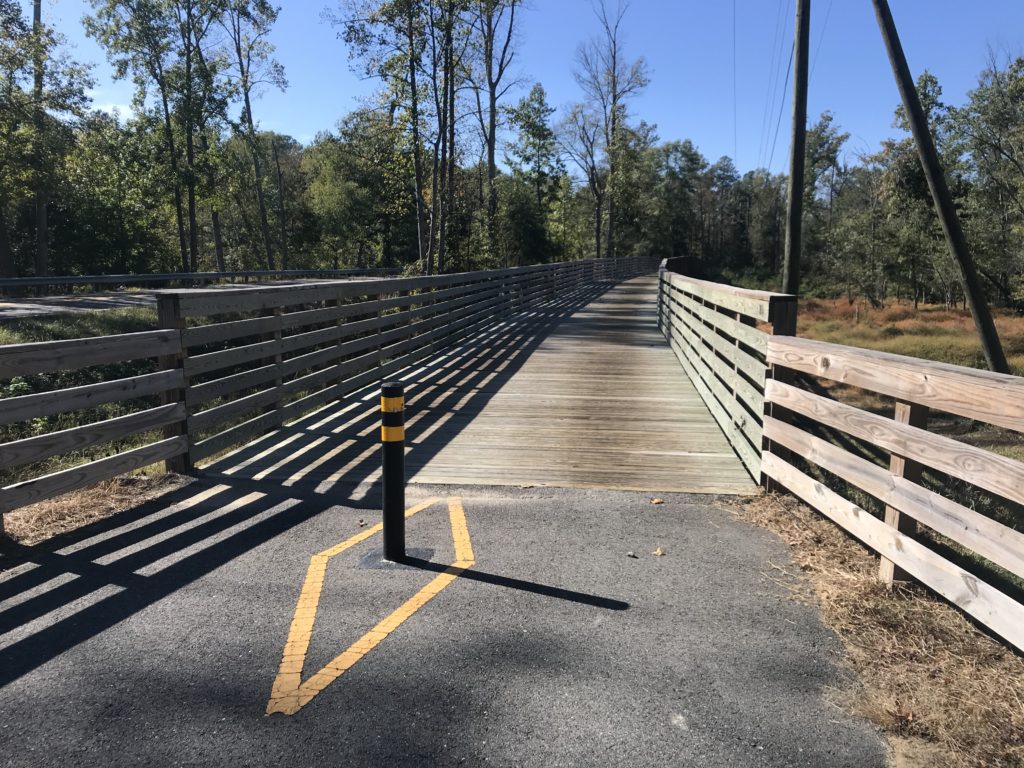
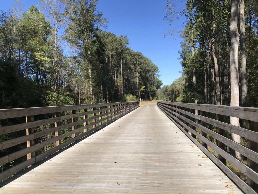
If you love wooden boardwalks this is the trail for you. Every mile it seems you cross one of the bridges. All are in great shape now but wonder if they will hold up in 10-15 years. But enjoy them now. They are great!

Terry rides into the distance

The eastern section is pancake flat. It is situated in the Middle Peninsula section. It is wooded with its share of wooden bridges as it follows Rte 5.

Chickahominy River

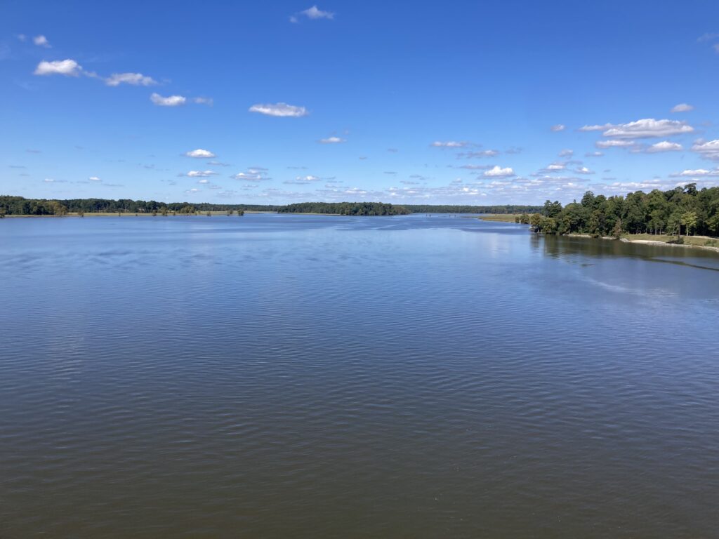
At MP 6 (or 7) the trail crosses the Chickahominy River. There is a separate bike lane on either side or the cool kids can ride on the shoulder on the highway.

Crossing the Chickahominy River

Once over the bridge, the trail continues with Charles City being the next landmark. Charles City Courthouse is at MP 21. There are little to no amenities on the trail so grab them when you see them.

Chickahominy River

Terry had turned around at MP 13. He suggested to me that I stop at the Citgo service station at Charles City – for their fried chicken. I came to Haupt’s Country Store and at first, kept going. But then I smelled the chicken and went inside. Chicken by the piece was $2.65 for a breast and roll. It was good but there was no seating area, not even a bench outside.
Haupt’s Country Store

At Charles City, the trail disappeared into the street for a couple hundred yards. I passed Cut’s Courthouse Grille and saw some bicycles parked outside. That is your restaurant option if you want sit-down. At the Citgo Station, I stood next to a trash can.
Did you know this?

After Charles City, I entered the plantation area. Shirley. Berkeley. Sherwood Forest.

Once in Henrico County, the trail went from flat to rolling. The rustle of dried leaves cracked beneath my tires. It was still wooded in many sections and the Fall leaves were covering the trail.

Another bridge – all are in great shape

Fueled by my piece of chicken, I averaged 17 mph from Charles City to Richmond. My time at either end, Williamsburg and Richmond, slowed my average speed as I was site-seeing in Williamsburg and climbing Libby Hill in Richmond.

Four-Mile Creek Park

As I got closer to Richmond the trail became familiar to me. I stopped here in April and had ridden part of this before.

The trail goes under I-295 and is the only place there is considerable road noise.

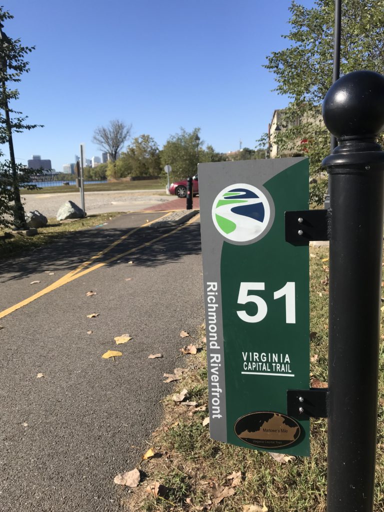
Mile 51 in Richmond

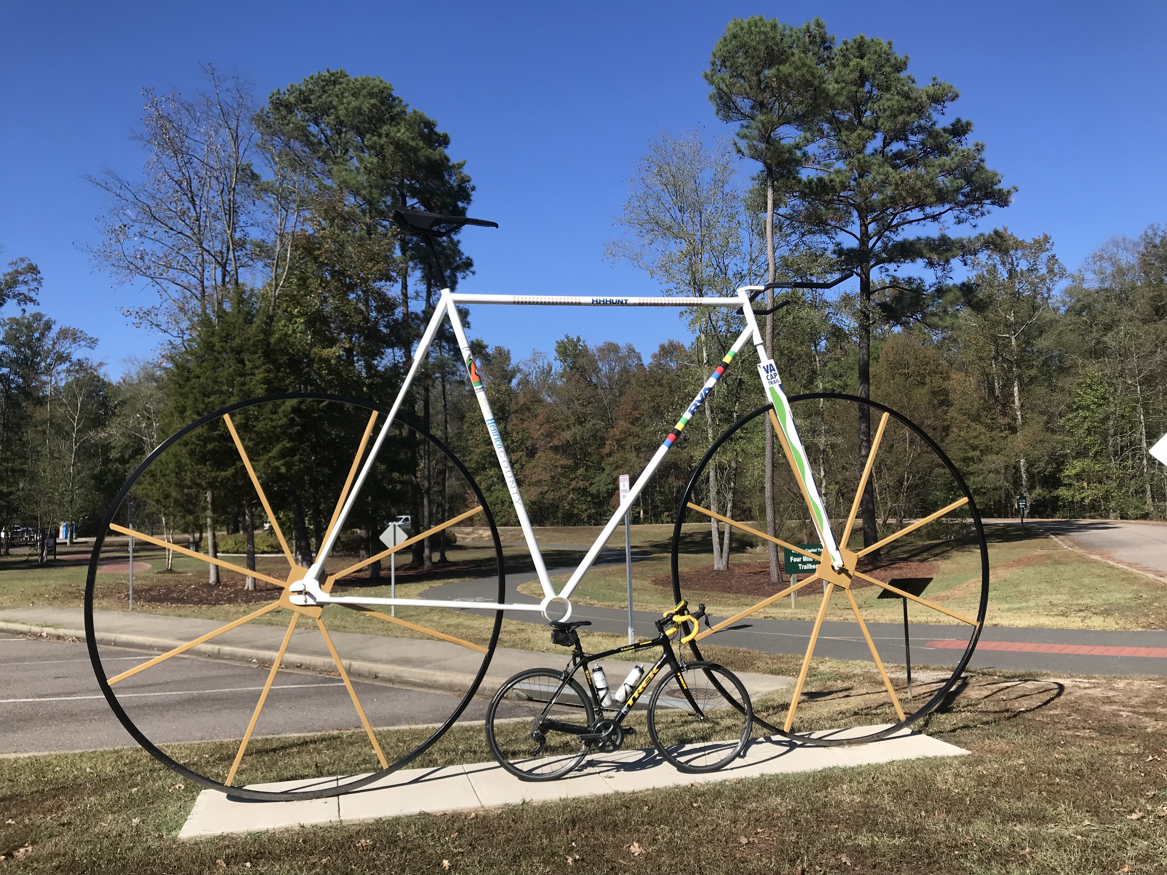
As I got close to Richmond, I remembered some of this trail from having ridden it four years ago when I volunteered at the UCI World Championships. But some of it was also new to me.

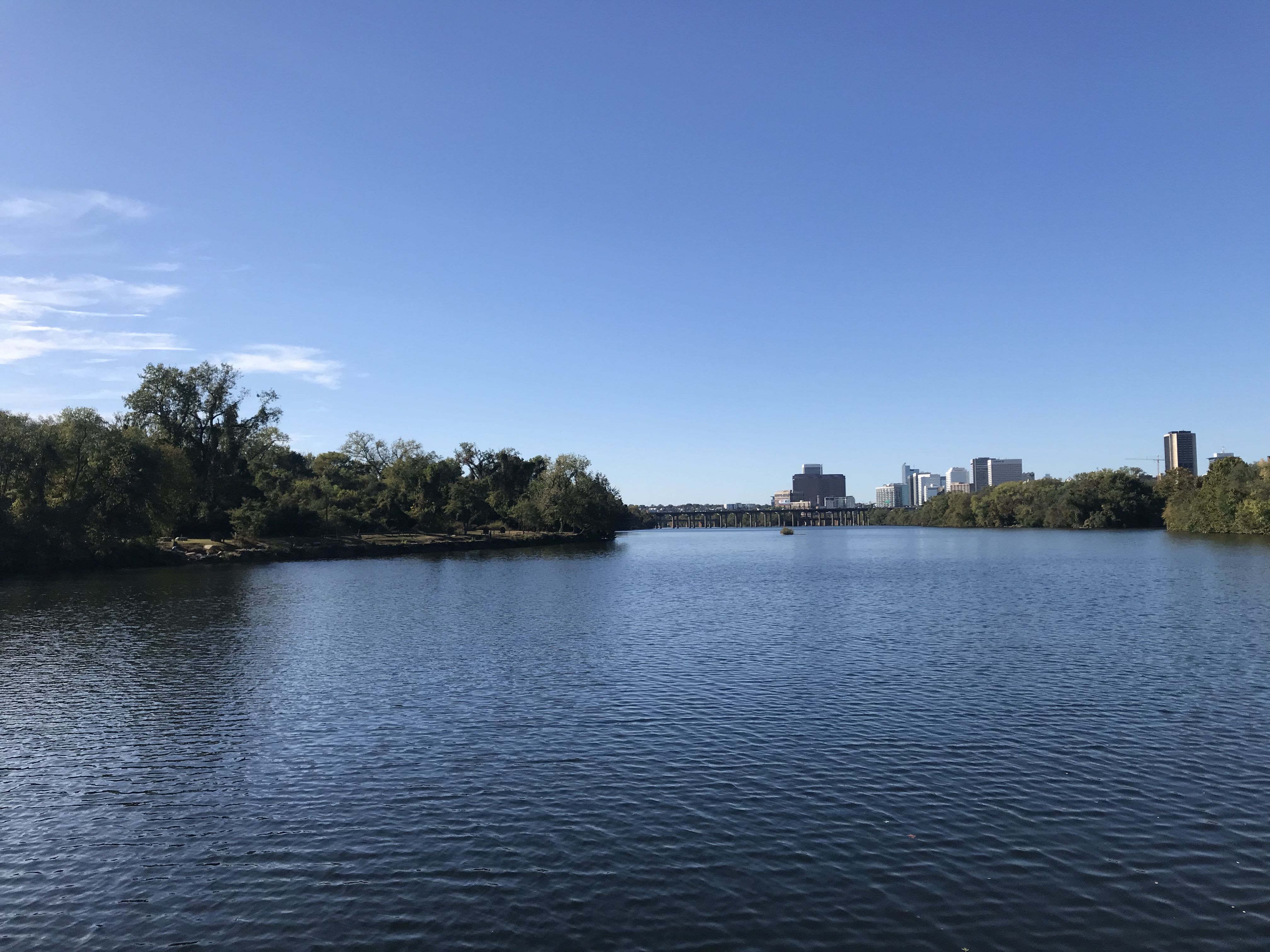
James River, Richmond

Rather than finish the last quarter-mile of the trail, I turned off it to go up Libby Hill and find where I was parked. At Libby Hill, there was a chain across the entrance. After 10-15 seconds of thought, I decided that was for automobiles. There was an opening for a bike and I rode up the famous Libby Hill – as I did three times last month.

The cobbles on Libby Hill

At the top I needed to find my way to my car. I was on Richmond Hill and the street where I parked, Grace Street, did not continue because of a cliff.

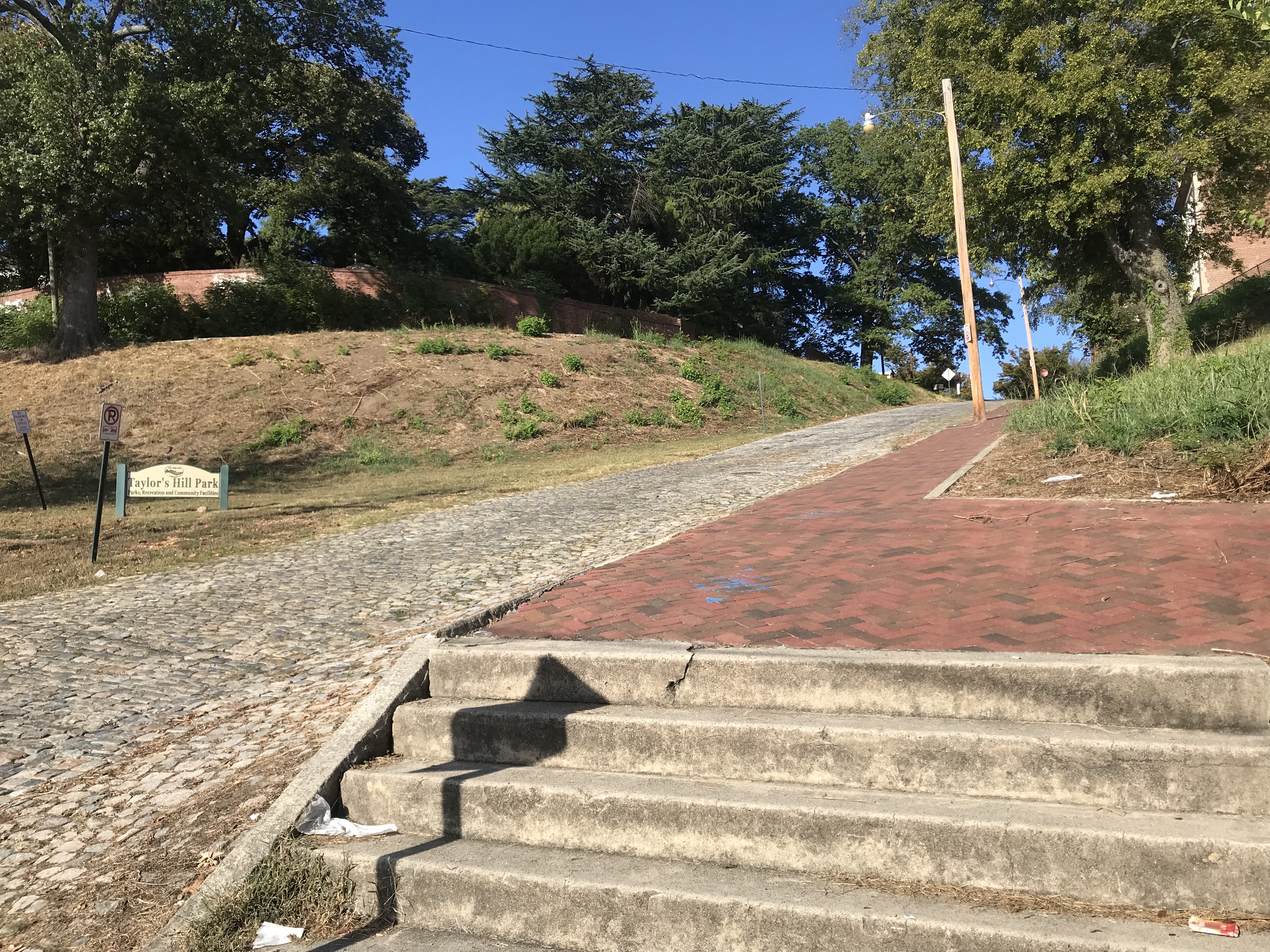
sN. 23rd St is a cobbled street that looks to be 12% grade going down. I decided not to ride down it, afraid of my traction while bouncing on the cobbles. The sidewalk presented a good option and I carefully went down the sidewalk. However, at the bottom, it becomes steps.

Richmond Hill – It’s steep – need steps

It was a 60-mile day. It was a beautiful day. I would recommend this again although I would think I would like to add the Jamestown Ferry as an option and ride on the south side of the James to Rte 156.


Climb to Conquer Cancer

RICHMOND, VIRGINIA

A new ride to me. A cancer ride sponsored by Amy’s Army of Cancer Warriors benefitting the VCU- Massey Cancer Center.

Libby Hill

Logistically, I decided I would park at Stone Brewery, a huge lot about a mile from Libby Hill Park. There were only a handful of cars there and the parking space I was looking at (near a tree) had lots of broken auto glass – the sign of a break-in earlier. Ugh.

Libby Hill

I had to check-in and pick up my timing chip before the ride. I rode up Williamsburg Avenue and turned on Libby Hill. Our route would take us up this climb twice on our ride. I decided to make it three. There was as much grass as there were cobbles. It was actually an easy climb. Not steep. Not long. And the stones weren’t that annoying.

Looking down Libby Hill

Throwing some numbers at it – the best I can tell the climb is about 220 meters with an average or steep grade of 9%. While we did two climbs, the pro men in 2015 for the UCI World Championships did 16 climbs up the hill.

Riding in Memory of
Jacob Grecco
Alex Shepherd
Janice Lowmaster
Kay Walborn

I positioned myself at the back of the group for rollout. When we were ready to go they announced that I was at the front. Oh well. I turned my bike around and rolled up behind the police cruiser who would escort us for a four-mile urban loop before bringing us back to Libby Hill where we would climb the hill, for the “first’ time. This one was timed.

The parking lot at Stone Brewery

As we rolled through the Richmond streets the calls of “Hole!” echoed throughout our group. The streets were in bad shape. This was very unfortunate. I was second wheel behind the cruiser on the right. Perhaps third or fourth wheel on the far left was a rider who came upon one of those holes.

Statue at top of Libby Hill Park

We may never know what happened next. It appears it hit it hard. We all heard a loud bang – sounds like a gun but it was the sound of a tire exploding. I heard a crack and in my periphery, I heard two bikes coming together and I saw at least one but I think two riders going over their handlebars while their bikes went up in the air. As far as I know, only two riders were involved which is a small miracle.

At the start line. Little did I know we would turn around to start and I would be in the front, not back.

I did not slow down nor turn to look to see what happened. Any sudden action by me might cause more riders to crash. I yelled “Riders down!” and we told the police to go back and check. We waited for 20 minutes until the ambulance arrived and took the riders away.

Waiting for an ambulance for our riders who went down

At Libby Hill, I crossed the timing mat and then, a rider in front of me, stopped, lifted his bike in my path, and turned around. Any chance I had of doing well on the climb was taken away from me by an inconsiderate rider.

Volunteers at Rest Stop 1 – They make the event happen

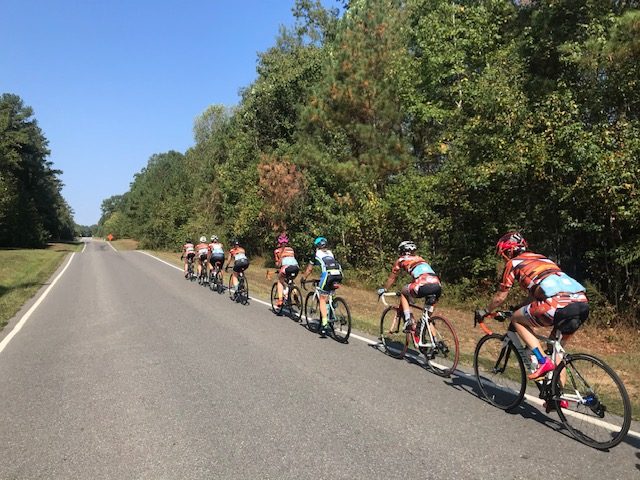
While I had been riding first or second wheel behind the cruiser, the word must have gone out to leave the accident scene without the police escort. I had gone from the front of the group to the rear (hence the guy in my way at the bottom of the climb). Once over the top, I locked into a group of orange riders. The group was mostly women but there were some men.

The James River, Richmond

We rode 24 miles to the first stop. Mostly I chatted with an unnamed guy and the big takeaway was telling him about and letting him try my Dual Eyeware sunglasses since he couldn’t read his Garmin. He was impressed. He then met some friends and took off with them.

My 10-year Cancerversary

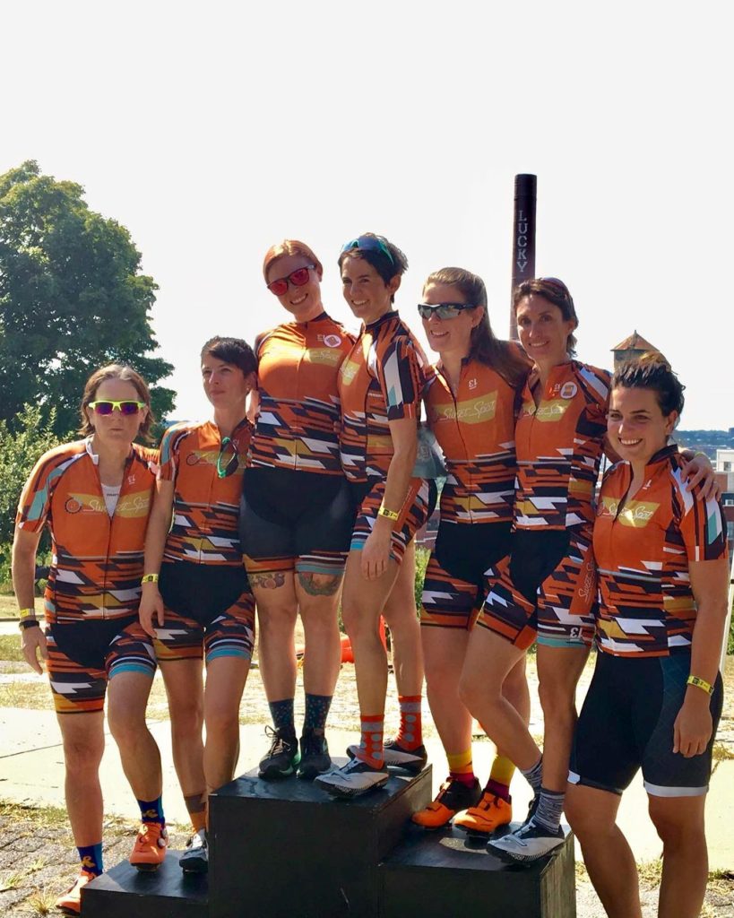
I stayed with the group I was in. They were with Sweet Spot Cycling. Most seemed to be 30-40s somethings although one woman was riding after a partial knee replacement in July. Based on the age of knee replacements, she was probably on the north side of the 40-something range. Kudos to her!

Sharon MacLean Maggie Hopkins Barton, Leary Jessica Conley, Dixie Newsome, Erin Silliman Wittwer, Marion Palme, Ashley Gibbs.. Source: Maggie Hopkins Barton Facebook Post shared by Amy’s Army of Cancer Warriors (Sept. 23, 2019)

We skipped Rest 2 and rode 30 miles to Rest 3. We averaged 18.2 mph with most, but not all, taking pulls. I did. Some of the non-Sweet Spot riders never came to the front. The last 10 miles we averaged another 18 mph. I backed off before the climb just so it wasn’t so crowded. Once I hit the climb my legs knew it. The first two times were easy. The last one was not – it’s what having 60 miles in your legs will do.

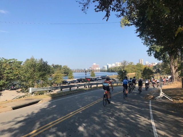
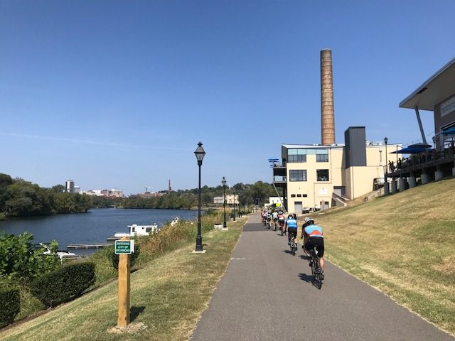
Alongside the James River returning to Richmond

I passed a couple of riders and was out of the saddle at the end. I thought I was way worse but unofficially was just eight seconds slower. It just felt much slower.

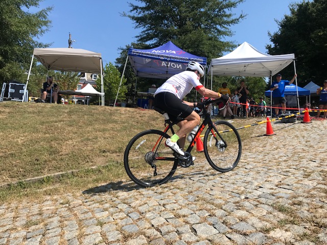
Rider finishing on Libby Hill

It was an enjoyable ride. I sought out one of the Sweet Spot riders to thank them for letting me join in with them. I would do this ride again and recommend it to others.

Riding “partners” from Sweet Spot Cycling


Verified by MonsterInsights