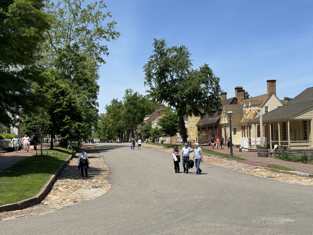
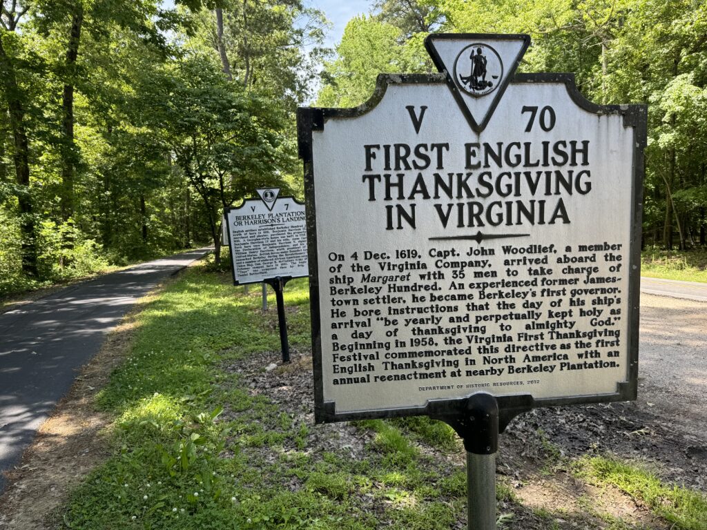
WILLIAMSBURG, VIRGINIA
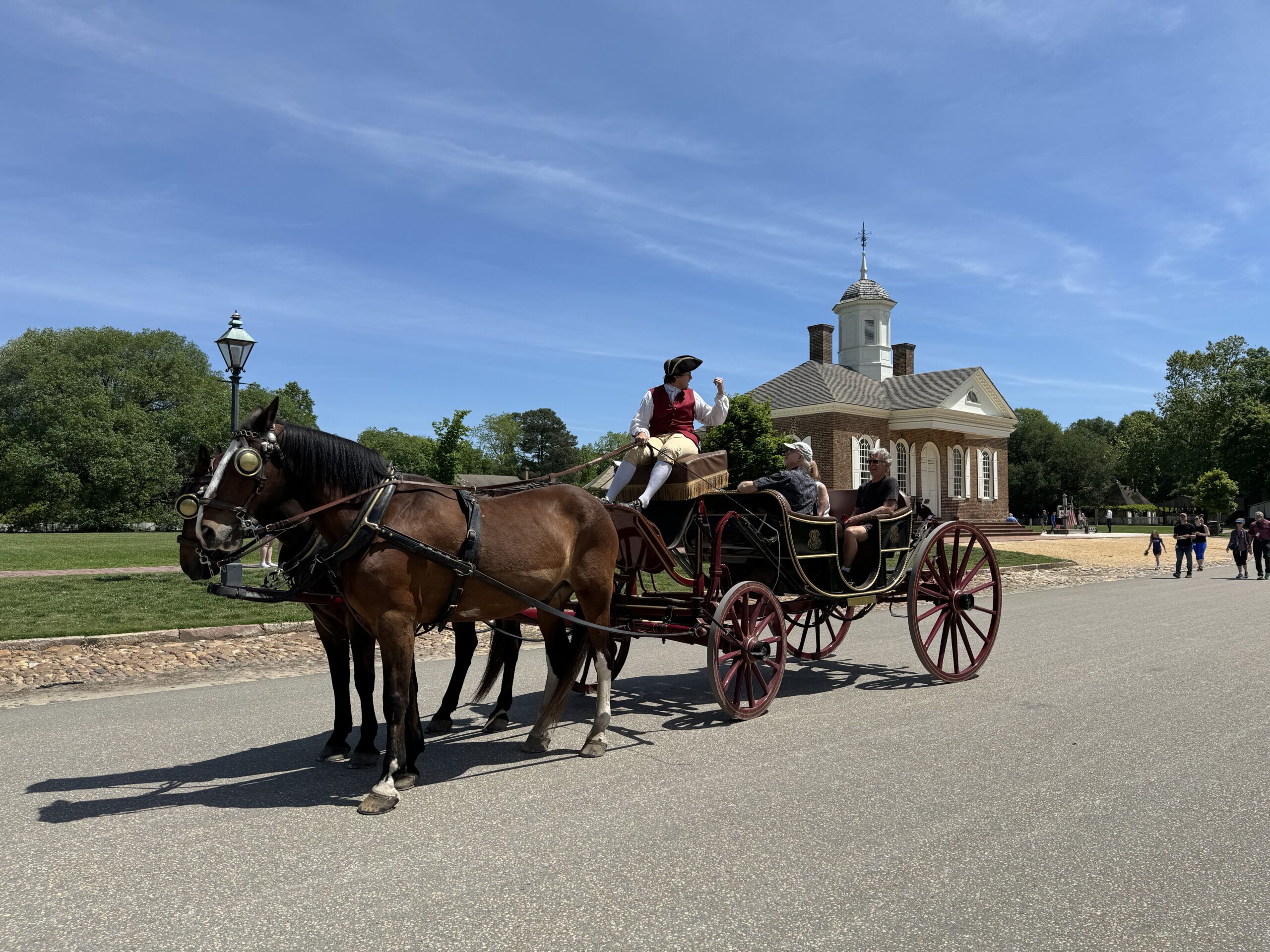
I found myself side by side with two horses pulling a couple of riders in a carriage. The driver was dressed in period garb but the riders, well, they were wearing something from 400 years later.
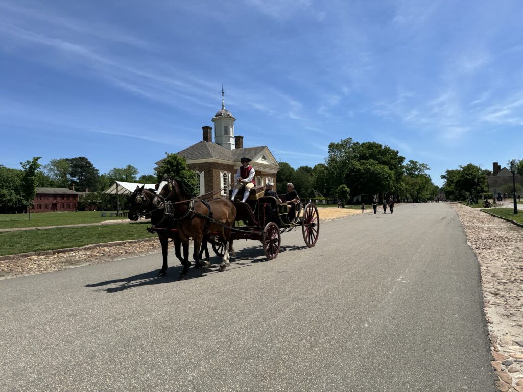
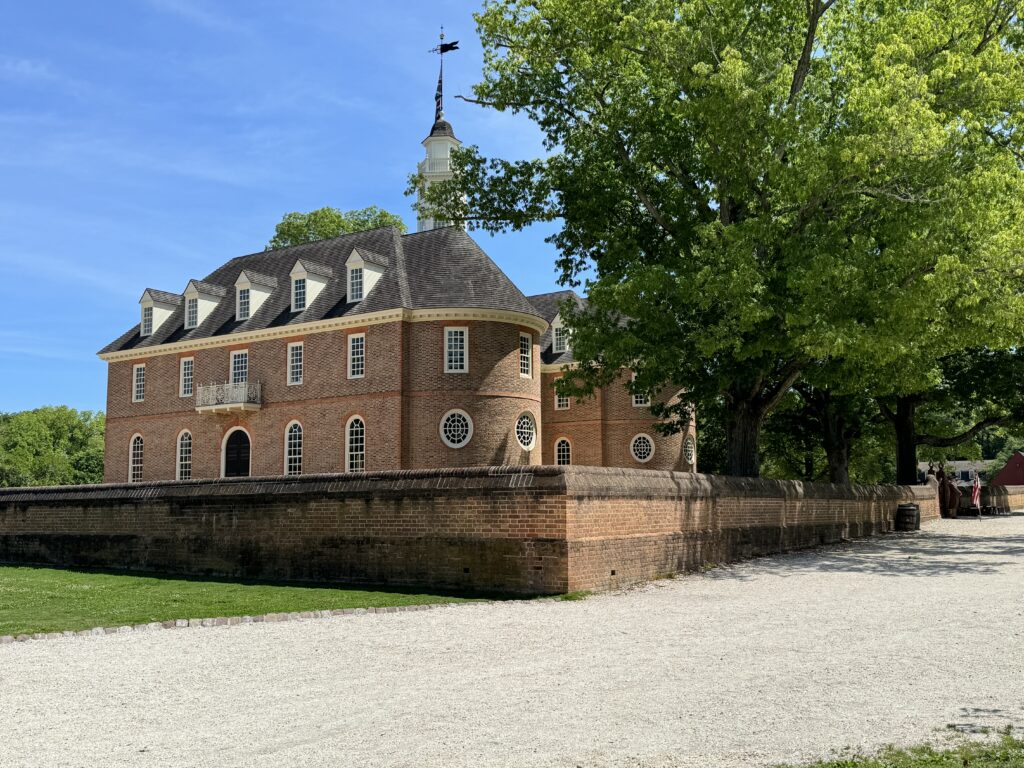
The capitol flew the flag of the British Empire. And I, in my time-traveling machine, was on my bike.

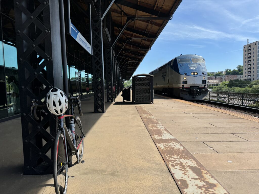
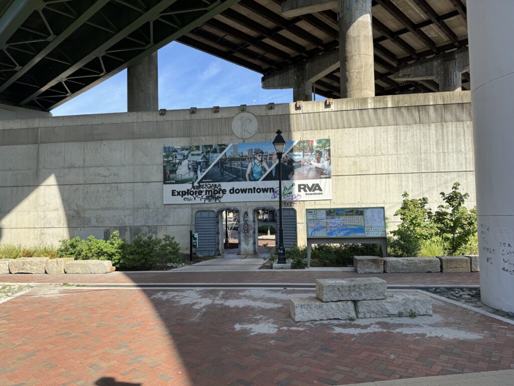
I began 90 minutes earlier in Richmond. I parked at Great Shiplock Park and rode one mile over to the Richmond Main Station. The train was scheduled to leave at 10:03 a.m. and I walked into the terminal at 9:50. A not-so-friendly employee “greeted” me with a greeting that was less friendly and more challenging. She sort of barked out “May I help you?” and I sensed that was more seeing what I was doing in the train station with my bike as opposed to actually wanting to help me.
I responded that I was headed to Williamsburg. She said, “Ok.” She could have, should have added, that the train was 38 minutes late. Is this really any way to run a train?

Despite a beautiful morning, the doors to the outside platform were locked. One couple had tried to go outside for fresh air while the rest of us were inside the terminal. At about 10:15 a.m. two employees opened the doors to the platform, signaling that the train would be arriving soon.
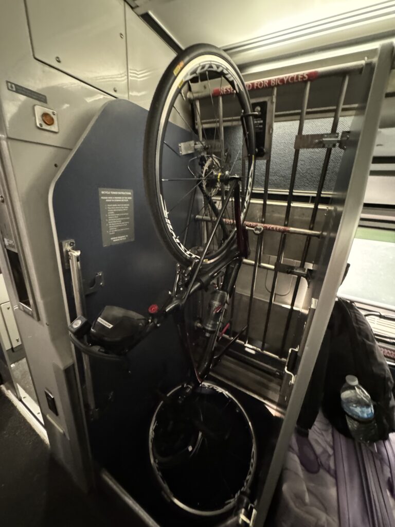
On the platform, I met two people who had bikes with them. This train is nice but they limit bikes to four per train. The best I can determine is that there is one space per car on this four-car train using a hook-and-hang system.
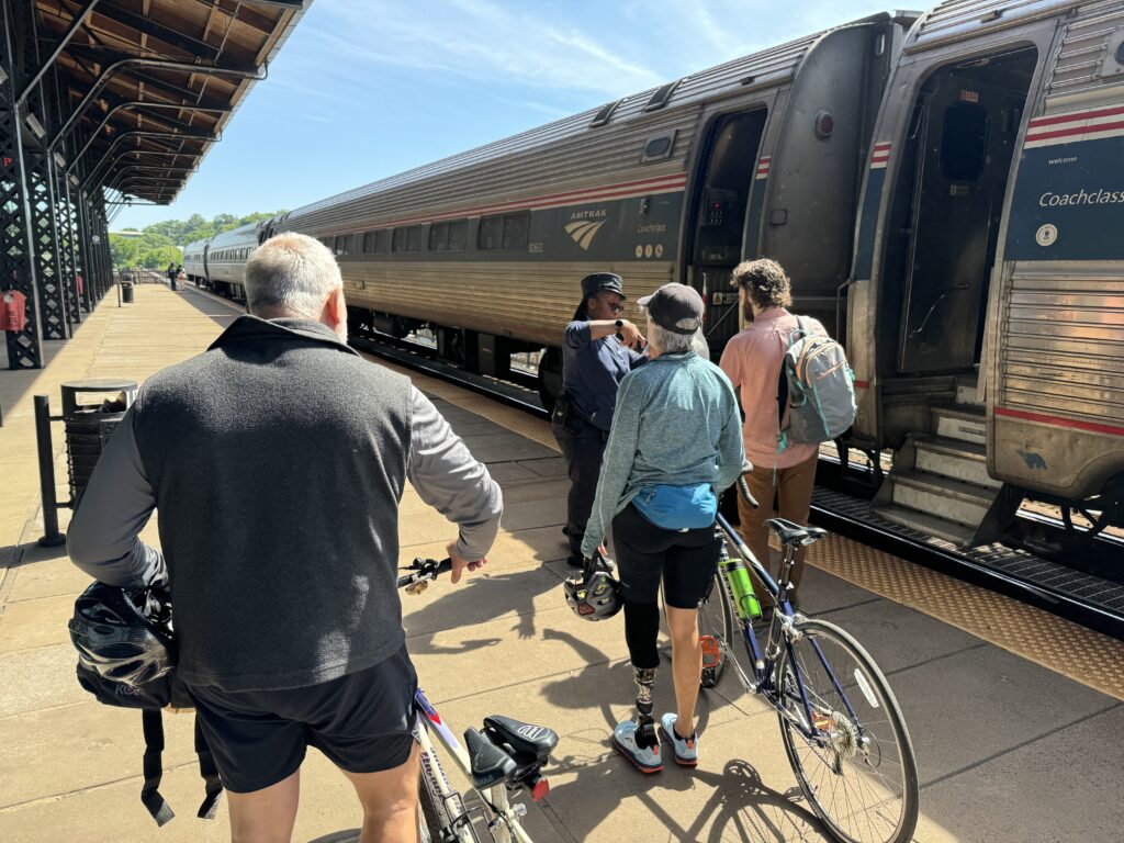
I chatted briefly with the couple. This was their first time riding from Williamsburg to Richmond. The woman had a prosthetic foot and I was quite impressed that she, that they, were trying this. They looked to be both recreational riders. The man, and he was the only one I talked to, asked if he should buy a newer bike. He mentioned his bike is 30 years old. I told him for sure he should. I should have had him lift my bike.
He asked if I was riding back from Williamsburg and I told him I was. He said he didn’t know if they could ride seven more miles and told me they would take a bus from the train to Jamestown Settlement which is the beginning of the 52-mile trail back to Richmond. I saw them when I had offloaded in Williamsburg and hoped to pass them on my ride but I never saw them again. They may have eaten lunch in Williamsburg before beginning their journey.
The late arriving train messed up my schedule. I had just enough time to ride from Williamsburg to Richmond and finish with a climb up Libby Hill. I needed to get home in time to go watch my grandson play baseball at 6:30 p.m.

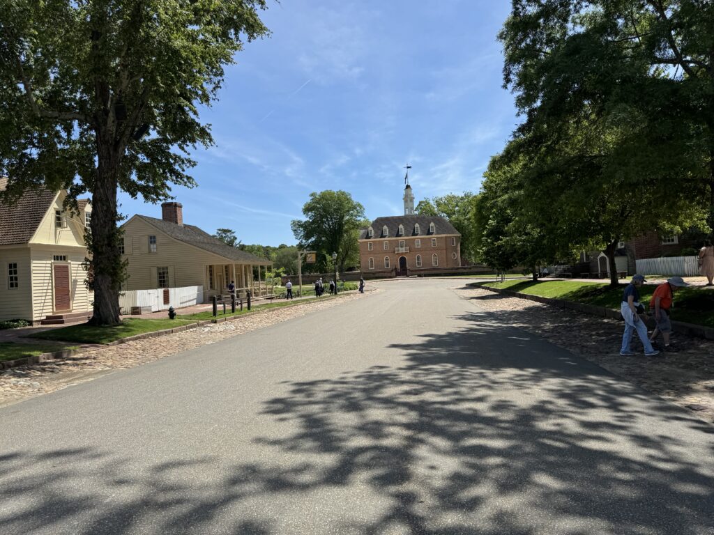
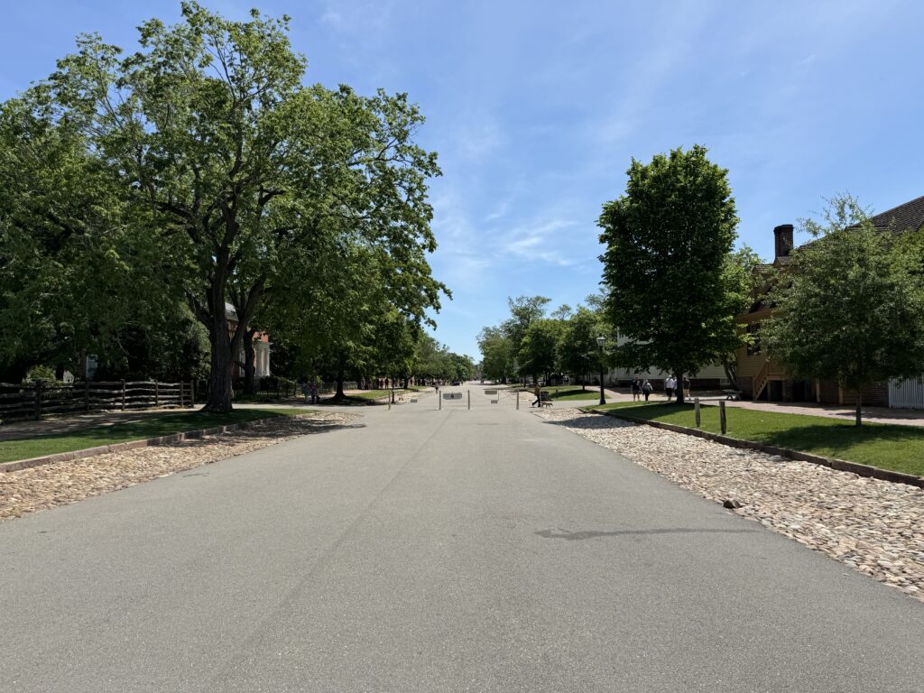
I departed the station and was about to head to Jamestown. I saw one of the entrances to Colonial Williamsburg and decided to roll back into time. The signage was clear – no motorized vehicles. So bikes are welcome.

I slow-rolled through the town which may explain my disappointing average speed for the ride.* Other reasons may be (1) I’m old, (2) It was windy, (3) Out of fuel, (4) I’m fat, (5) I suck.
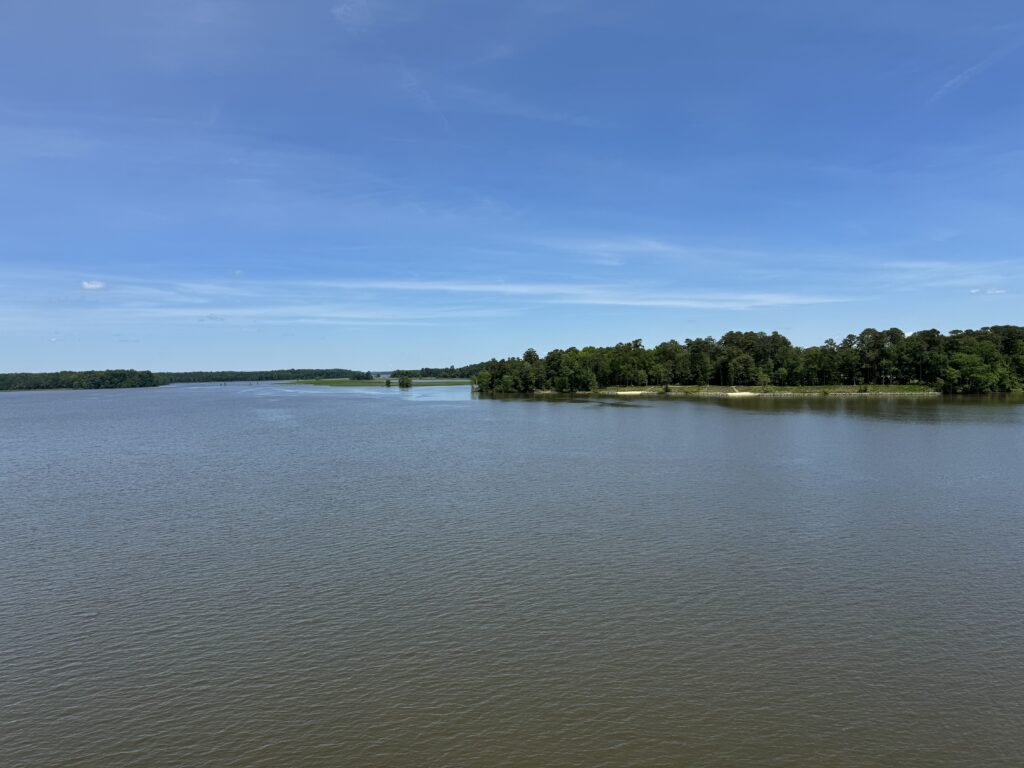
There were places for lunch in Williamsburg that tempted me but I thought I had everything I needed for the ride. I headed down Jamestown Road making two exploratory wrong turns along the way. I came into the Virginia Capital Trail at MP 0.5 (there isn’t such a MP though) and headed towards Richmond.
Food options are scarce on the trail. The trail parallels Va. Rte 5 and food options are scarce on Rte 5. I didn’t use it but there is a nice trail map online. Near Jamestown at MP 2.5 is Spoke & Art Provisions. They are closed Tuesdays and Wednesdays but the clock and not the calendar was my problem today.
I was fighting a strong crosswind all day coming from the southwest. And I was fighting the clock.
Near Charles City is a Citgo gas station where the trail crosses Rte 5 and takes the road for 1/2 mile. The gas station sells fried chicken. In Charles City is Cul’s Courthouse Grille (you know what the “e” means). That is probably the best place to stop, sit, and eat on the trail. I ate there once and it was good. The gas station does not have seating.
A new entry may be Breez-In Convenience Store, just south of Charles City. It may be a Sunoco station that I passed. The trail is away from the road here so I did not check it out. But that was it for food and water.
I carried two bottles of water and a few food packets. I would discover that was not enough. I was out of food by MP 42 when I went through the two parks. The first is Four Mile Creek Park. No facilities were open but a new restroom is almost complete. Two miles later was Dorey Park. It had facilities and presumably water fountains. But I would have to exit from the trail to go into the park and didn’t have the time. Or energy. I was bonking.

I passed the Valero gas station at MP 43.5 and then doubled back. I knew I was just eight miles from the start but I also knew I needed something. I went into the Fast Mart, saw the water then opted instead for Gatorade. I went to the counter and there were two young women “working.” There were two registers and one woman had a “Register Closed” sign on hers as she was checking her phone. The other woman, with three nostril rings, said “I’ll be with you in a second.”
I waited for one minute and she was still standing there. I think she was in mid-transaction with someone who left the store, maybe to go out to the car and get their wallet. Rather than pause or cancel the transaction she just stood there. I apologized and told her I didn’t have time to wait. I left with nothing.
I went another four miles and came to a 7-Eleven. At this point, I was only two and one-half miles from start and all downhill. But I stopped. I needed water. And went for a Slurpy. I poured that into both bottles and I was great.
I was watching the time and wanted to ride Libby Hill. Three miles earlier I had no energy to tackle the famous climb used in the 2015 World Cycling Championships. When I got to my car I was ready to climb. I decided I would check Waze. If traffic going home was horrific and there was no chance of getting to Aiden’s game then I would continue my ride.
I stopped at the car. I opened Waze and saw I could be home by 5:30 if I left right then. I ended my ride, took a “shower” with Chamois Butt’r Skin Wash, and headed home.
It was a nice ride. Ultimately my ride didn’t end short because of a baseball game. It ended short because Amtrak can’t run a train on schedule.
*My average was just 15.1 mph. Knocking out the slow-rolling part in Williamsburg, it was more than 16 mph.
DISTANCE: 59 miles (95 km)
Recent Comments